Trails near Aubière
75 hikes starting within 15 km, nearest first.
Nearest first, page 2 of 2
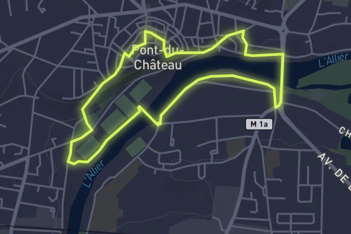
Easy · Trail
Le Chemin des Batteliers
4.0 km · ↑ 57 m · 1 h 8 min · 11 km away
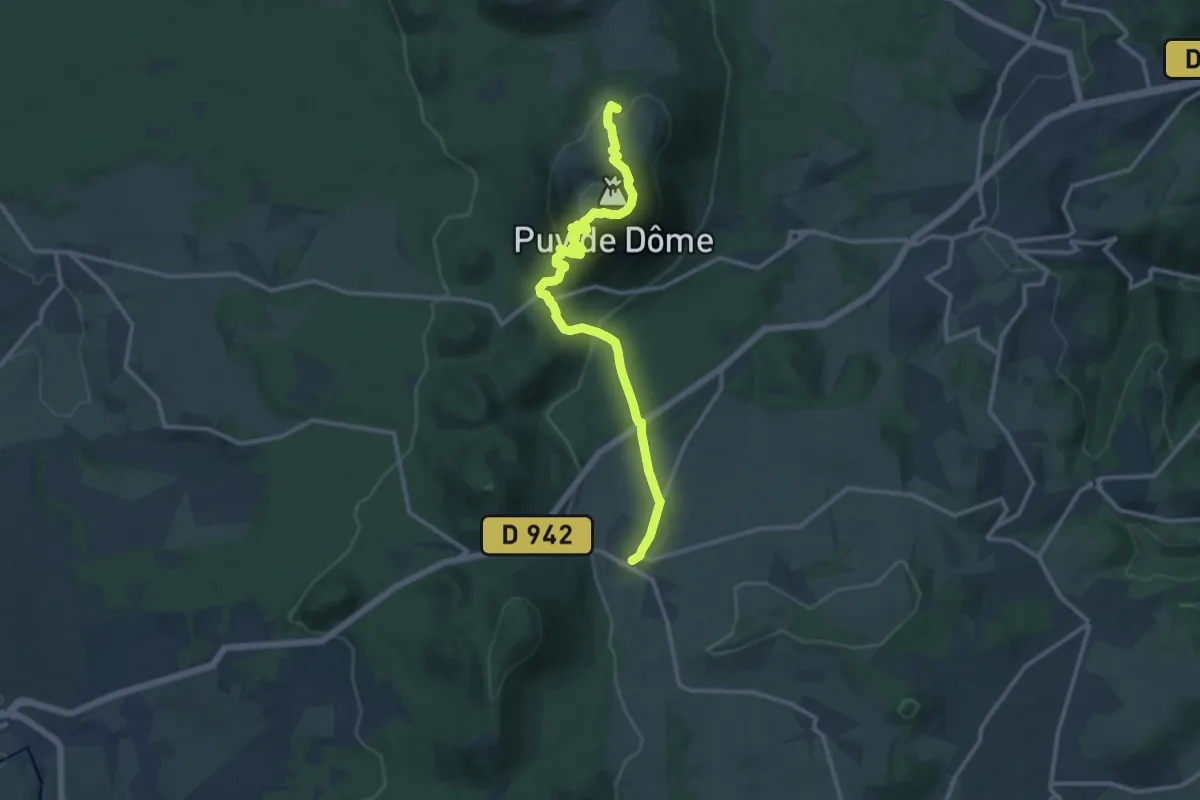
Medium · Summit
Mazaye / Laschamp
13.4 km · ↑ 713 m · 4 h 42 min · 12 km away
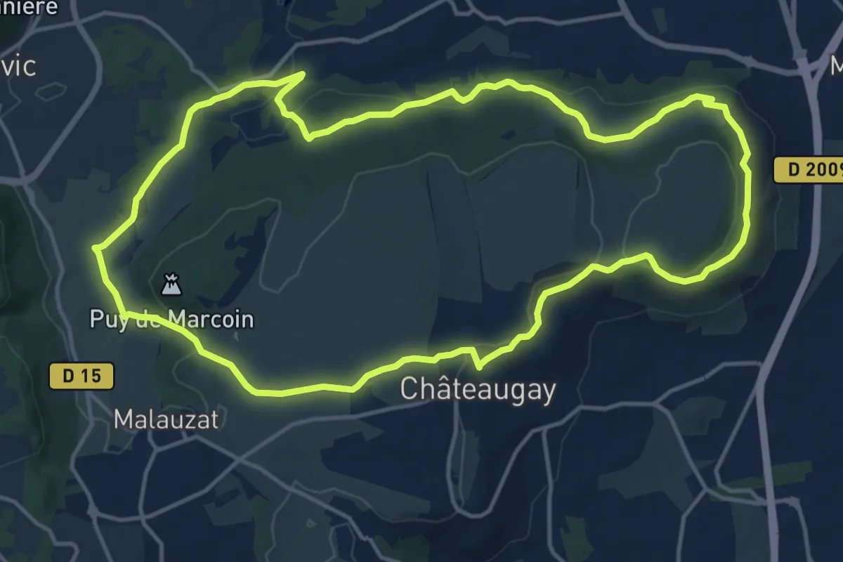
Medium · Trail
Les Côteaux du Plateau de Lachaud
14.2 km · ↑ 237 m · 4 h 3 min · 12 km away
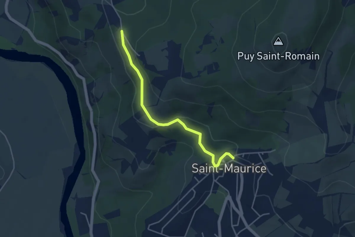
Easy · Trail
Le vallon des Bouys
3.5 km · ↑ 118 m · 1 h 5 min · 12 km away
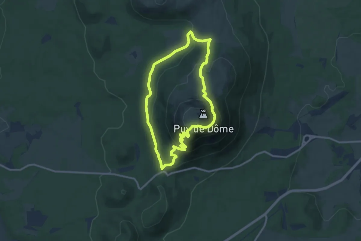
Medium · Summit
Le Puy de Dôme
7.0 km · ↑ 369 m · 2 h 33 min · 12 km away
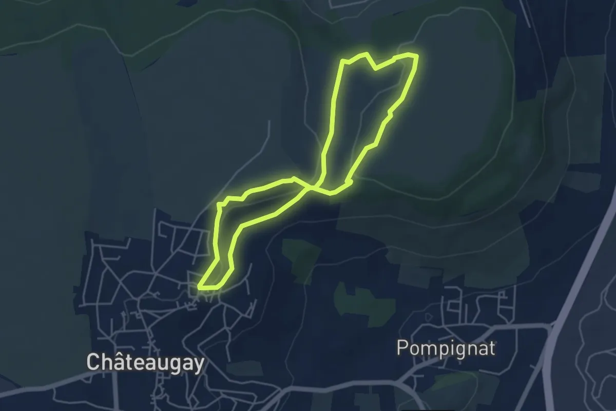
Easy · Trail
Le Plateau de Champ-Griaud
4.2 km · ↑ 64 m · 1 h 11 min · 12 km away
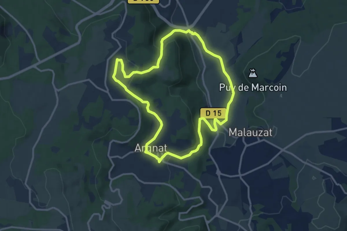
Medium · Trail
Argnat
8.7 km · ↑ 269 m · 2 h 45 min · 12 km away
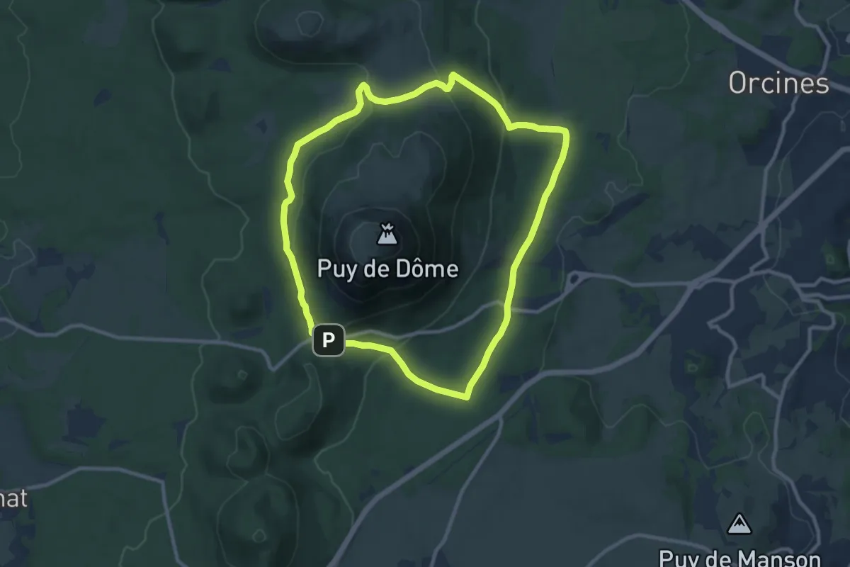
Medium · Summit
Tour du Puy de Dôme
9.4 km · ↑ 246 m · 2 h 53 min · 12 km away
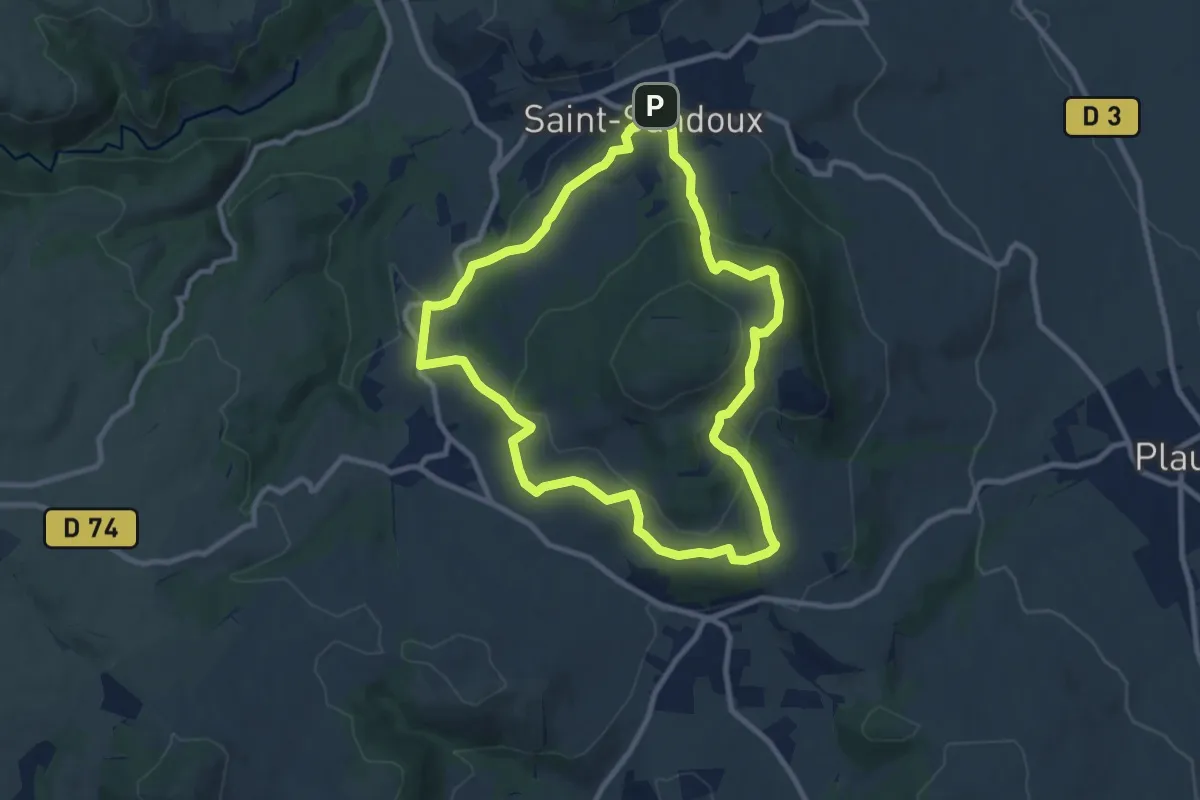
Medium · Trail
Le Puy de Saint-Sandoux
9.2 km · ↑ 334 m · 3 h 2 min · 12 km away
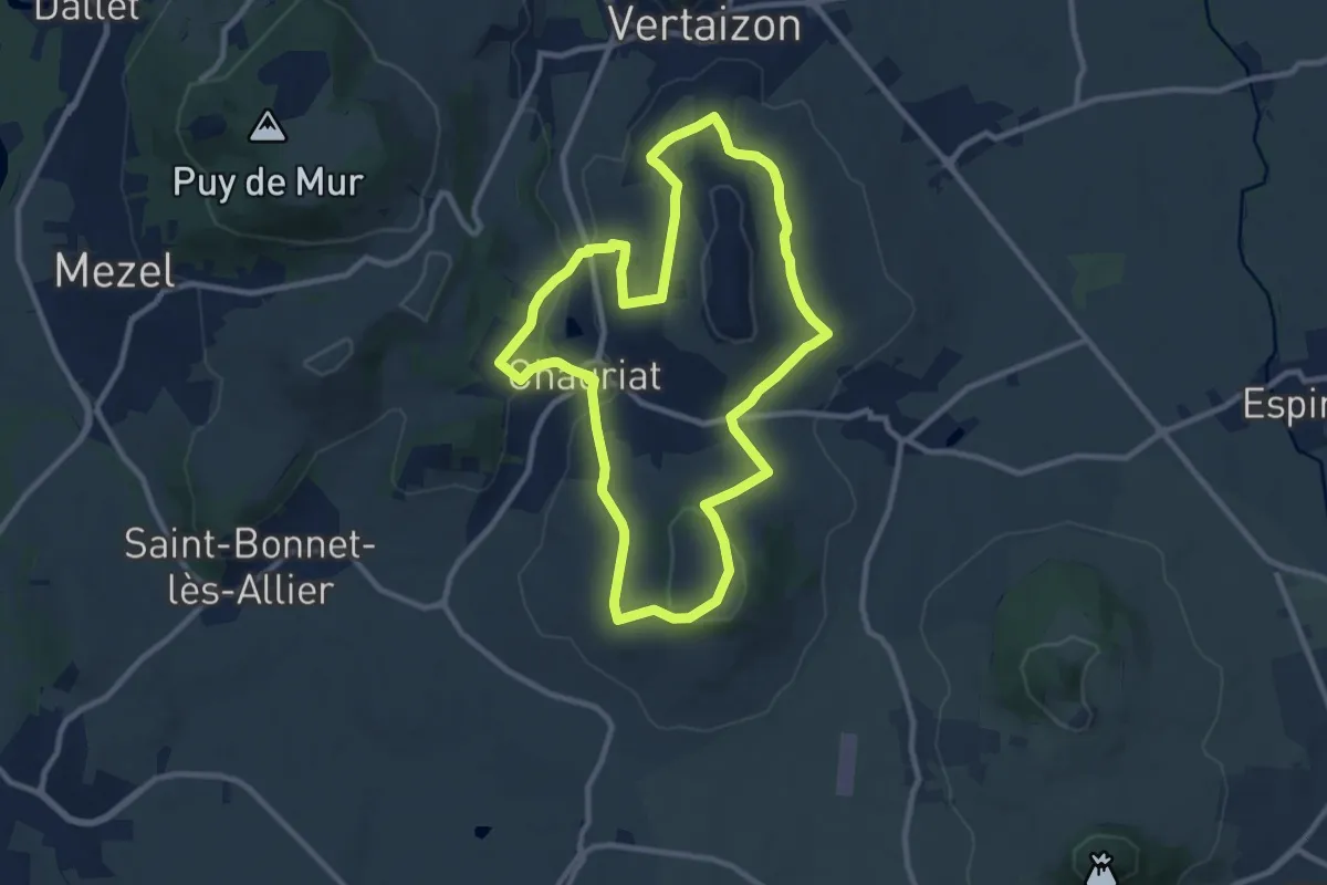
Medium · Trail
Les Coteaux de Chauriat
9.9 km · ↑ 239 m · 3 h · 13 km away
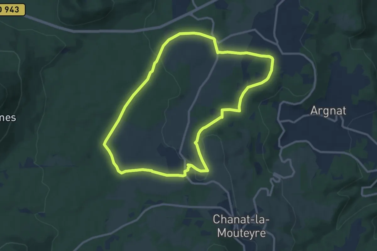
Easy · Trail
Egaules
8.0 km · ↑ 134 m · 2 h 17 min · 13 km away
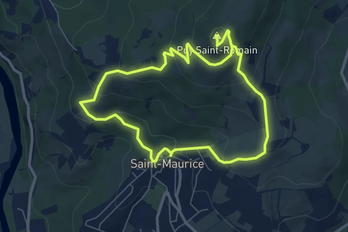
Easy · Summit
Le Puy-Saint-Romain
5.2 km · ↑ 275 m · 1 h 54 min · 13 km away
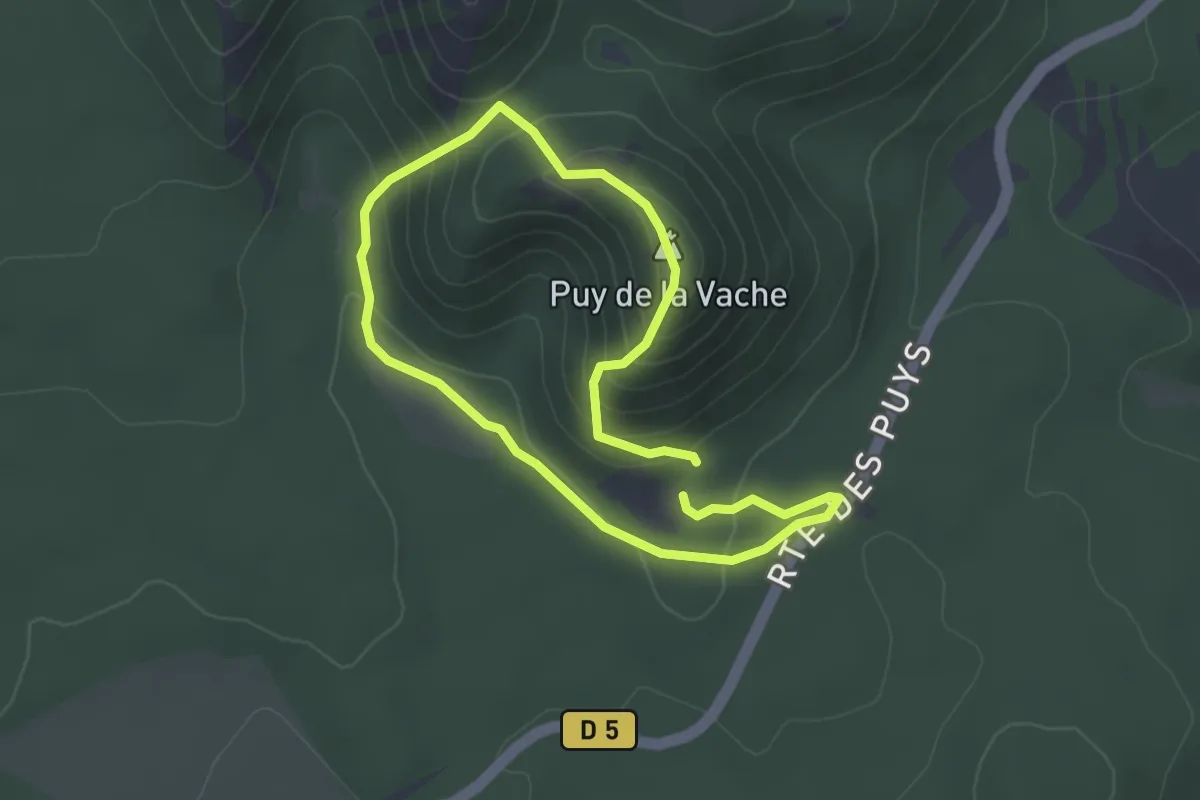
Easy · Summit
Le Puy de la Vache
2.8 km · ↑ 167 m · 1 h 4 min · 13 km away
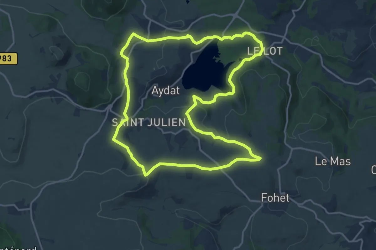
Medium · Trail
Le Lac d'Aydat
12.8 km · ↑ 267 m · 3 h 47 min · 13 km away
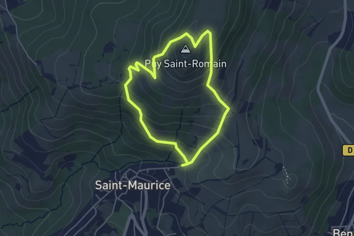
Easy · Summit
Entre Allier et Puy Saint-Romain
3.2 km · ↑ 207 m · 1 h 16 min · 13 km away
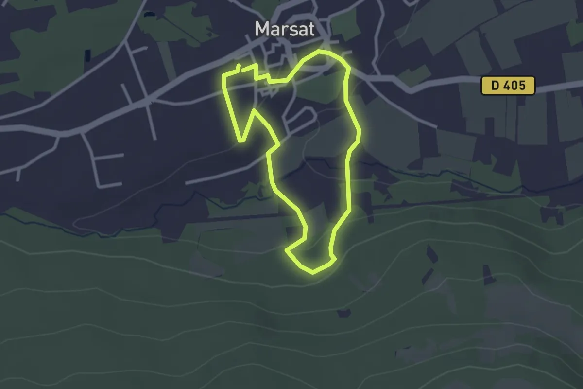
Easy · Trail
Le Vallon de Mirabel
2.3 km · ↑ 48 m · 41 min · 14 km away
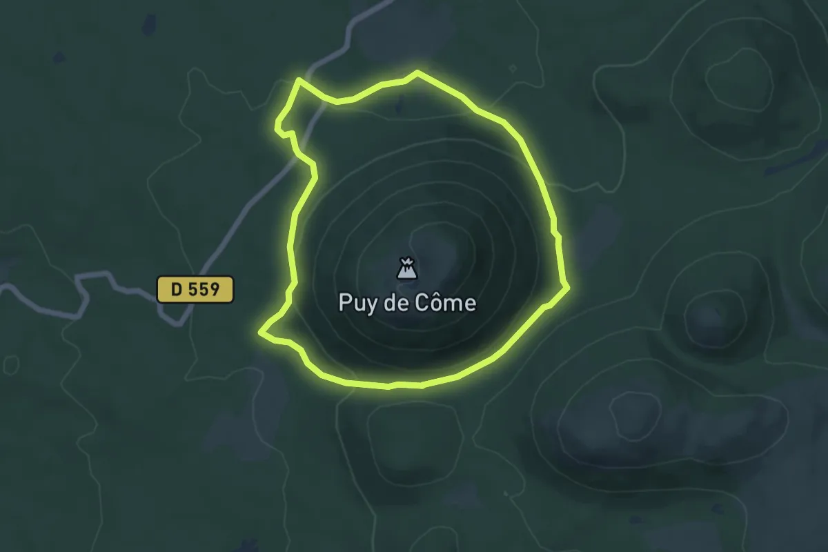
Easy · Trail
Tour du Puy de Côme
5.2 km · ↑ 154 m · 1 h 39 min · 14 km away
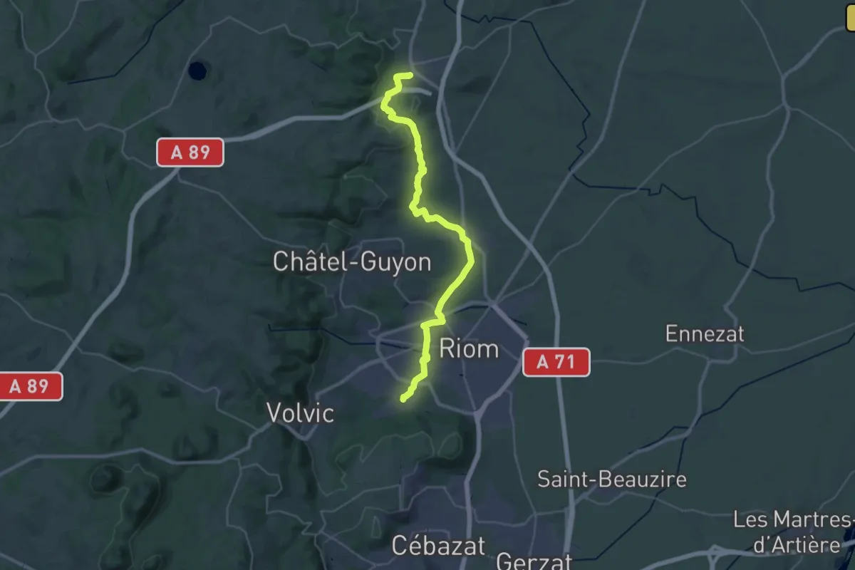
Medium · Trail
Combronde – Marsat
16.3 km · ↑ 216 m · 4 h 31 min · 14 km away
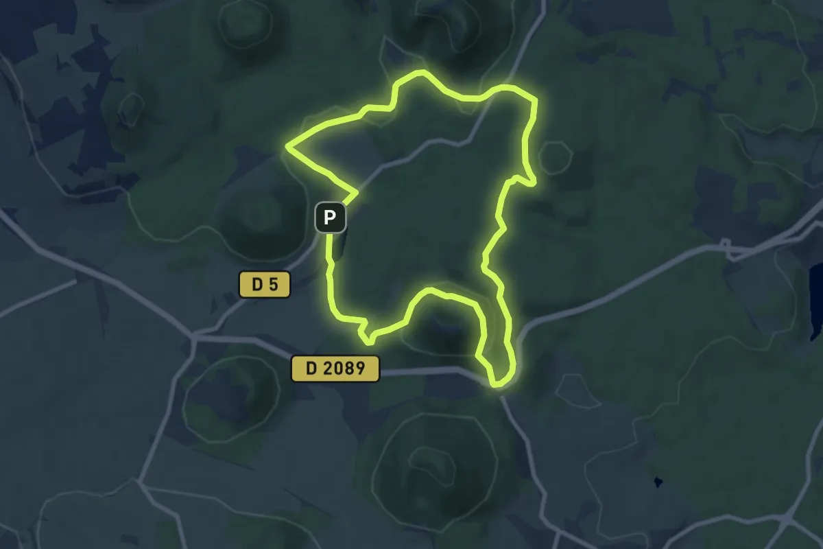
Medium · Summit
Le Puy de Vichatel
8.1 km · ↑ 161 m · 2 h 22 min · 14 km away
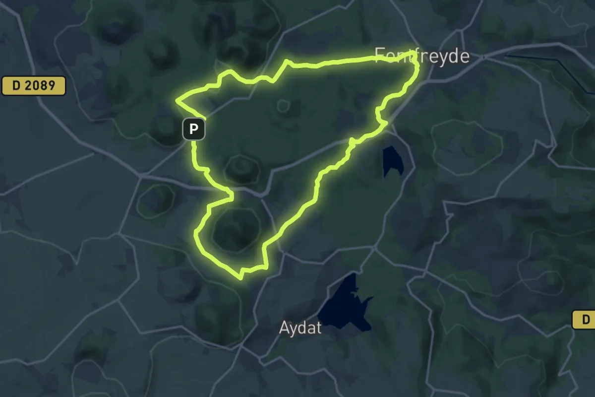
Medium · Cabin
Les Cheires Hautes
15.8 km · ↑ 266 m · 4 h 32 min · 14 km away
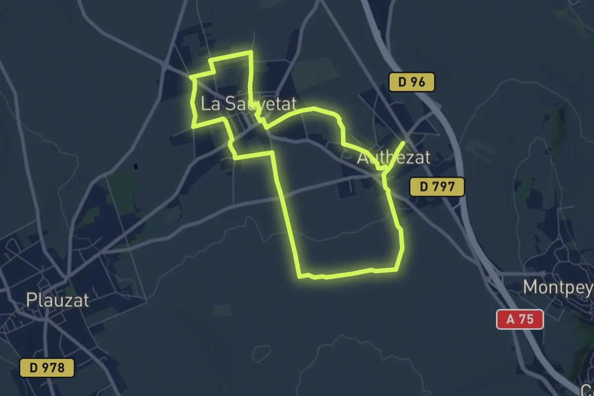
Easy · Trail
Les Forts de la Sauvetat
7.1 km · ↑ 71 m · 1 h 55 min · 14 km away
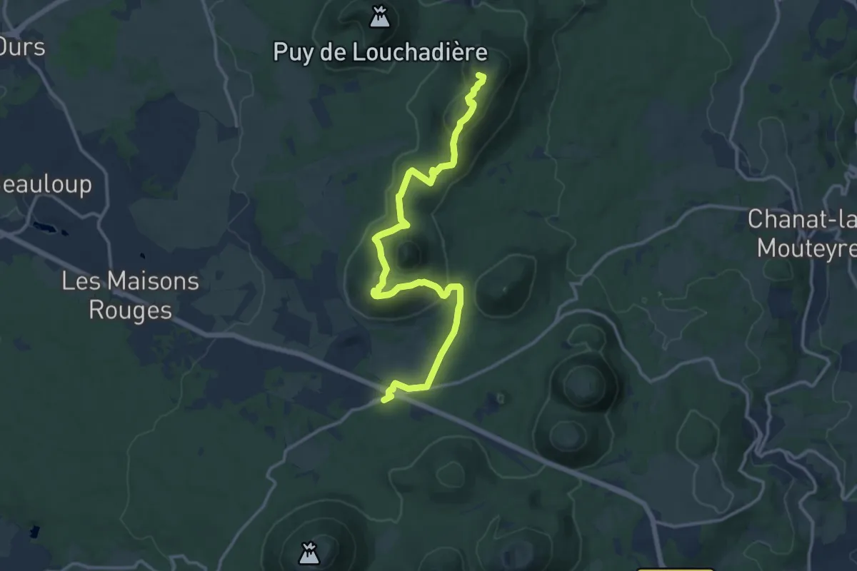
Medium · Summit
De Volvic àux Fontêtes
13.8 km · ↑ 476 m · 4 h 18 min · 14 km away
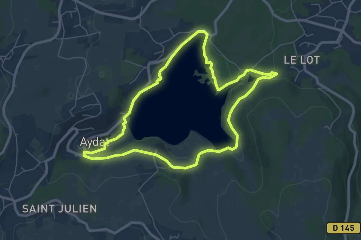
Easy · Trail
Autour du lac d'Aydat
5.5 km · ↑ 75 m · 1 h 33 min · 14 km away
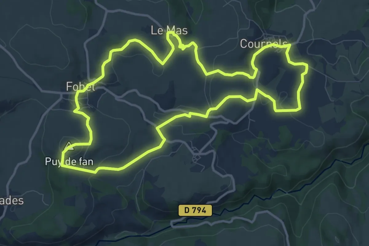
Medium · Summit
Les Pierres Levées
10.6 km · ↑ 241 m · 3 h 10 min · 14 km away
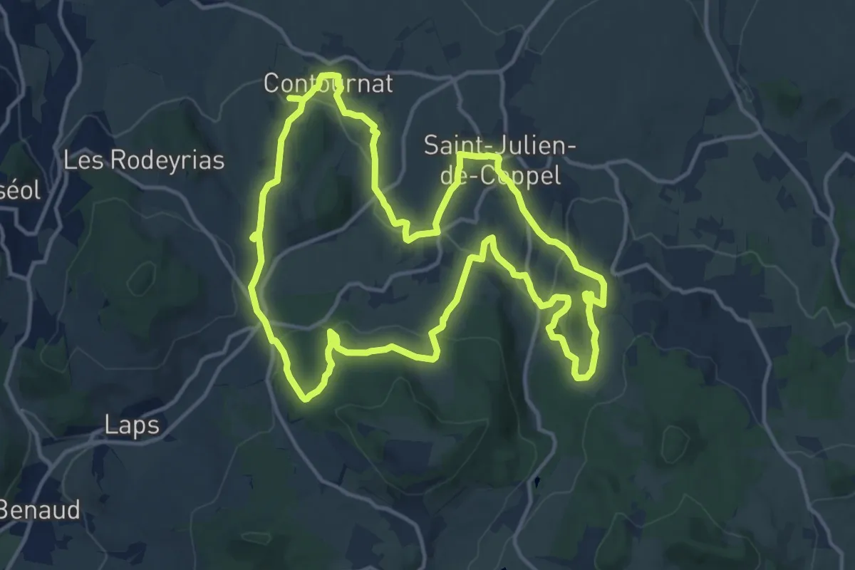
Medium · Trail
Notre-Dame de Roche
14.4 km · ↑ 416 m · 4 h 30 min · 15 km away
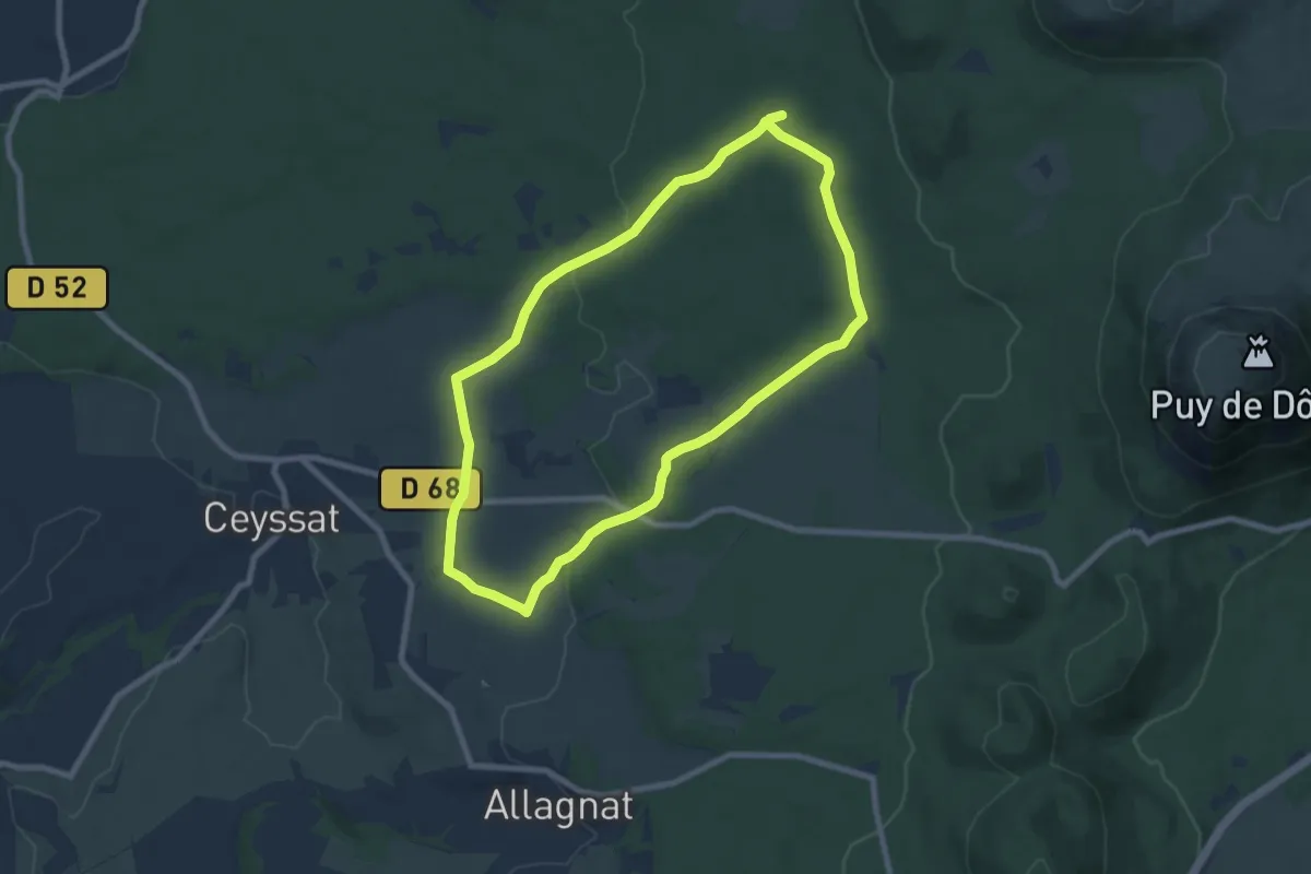
Easy · Trail
Les Bacs de Ceyssat et Montmeyre
7.7 km · ↑ 108 m · 2 h 10 min · 15 km away
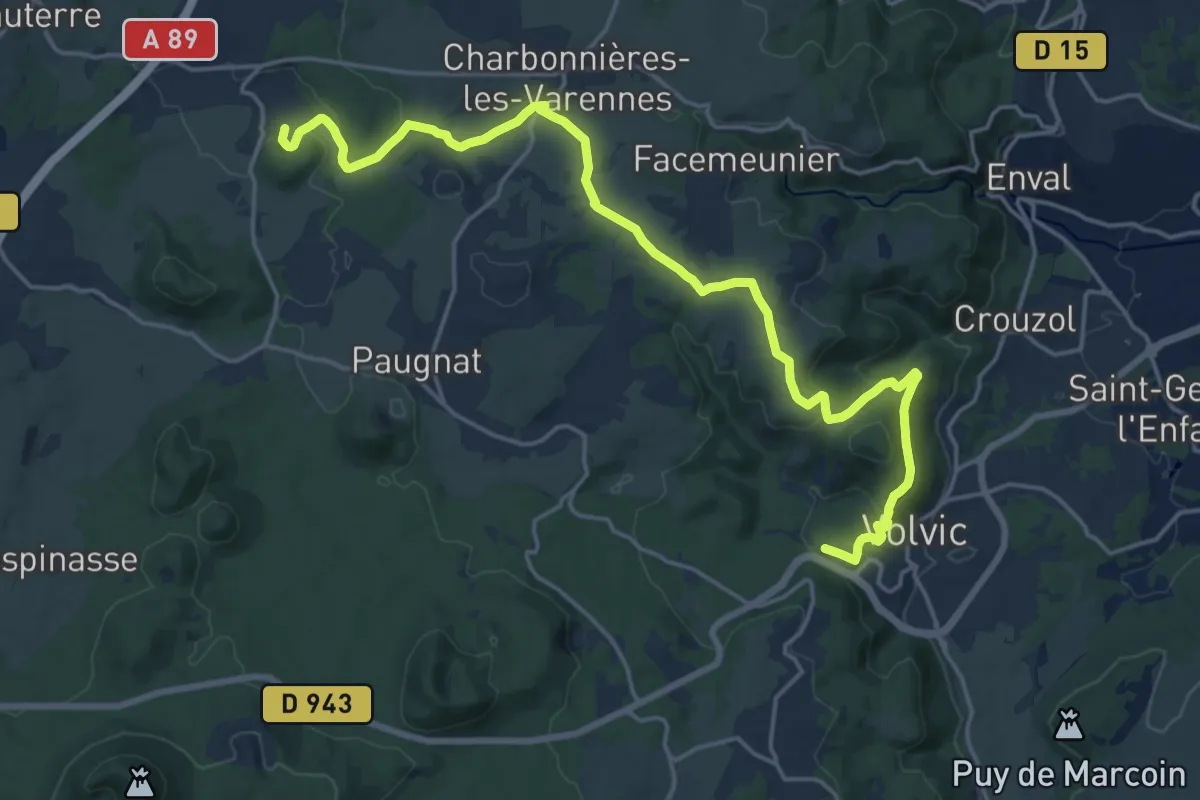
Demanding · Summit
De Saint-Ours à Volvic
21.6 km · ↑ 502 m · 6 h 11 min · 15 km away