Trails near Baillif
22 hikes starting within 15 km, nearest first.
Nearest first
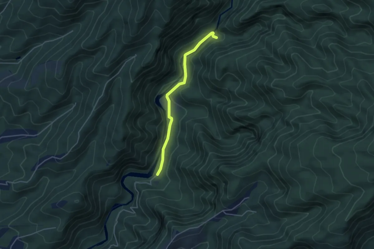
Easy · Trail
Cascade de la Ravine Paradis
4.7 km · ↑ 200 m · 1 h 33 min · 6 km away
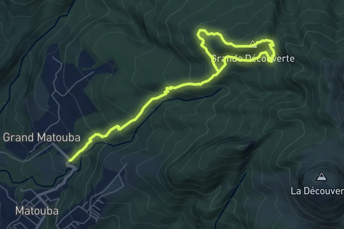
Demanding · Summit
Grande découverte
5.2 km · ↑ 600 m · 2 h 25 min · 6 km away
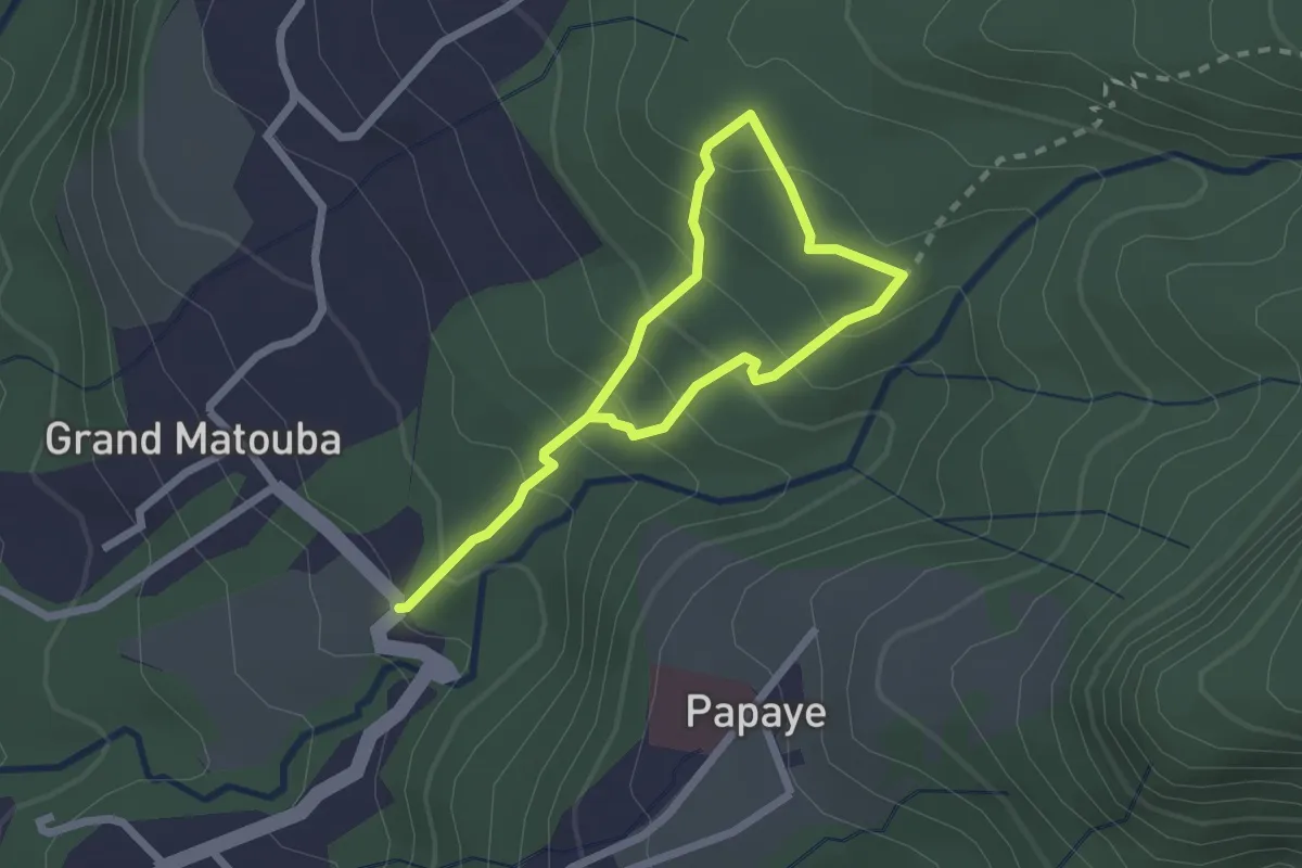
Demanding · Trail
Sentier d'Interprétation de Matouba
2.2 km · ↑ 193 m · 55 min · 6 km away
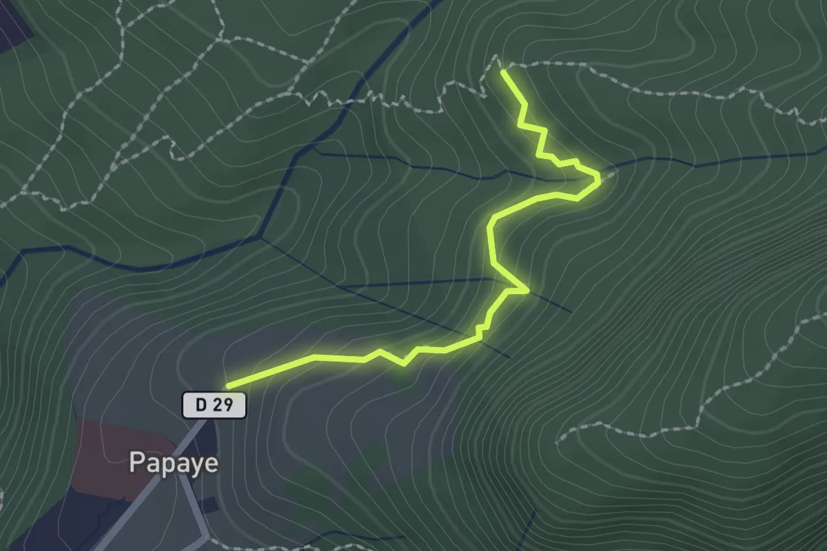
Easy · Trail
liaison Papaye-Bains chauds Matouba
2.6 km · ↑ 153 m · 57 min · 7 km away
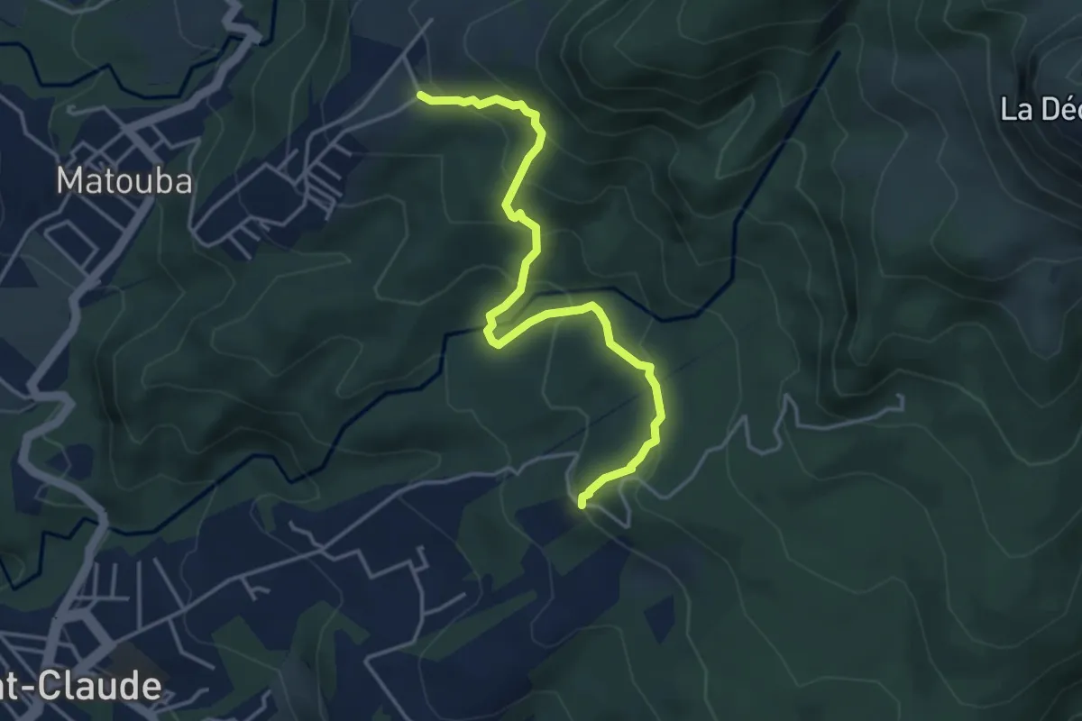
Medium · Trail
Trace Delgrès
5.6 km · ↑ 408 m · 2 h 12 min · 7 km away
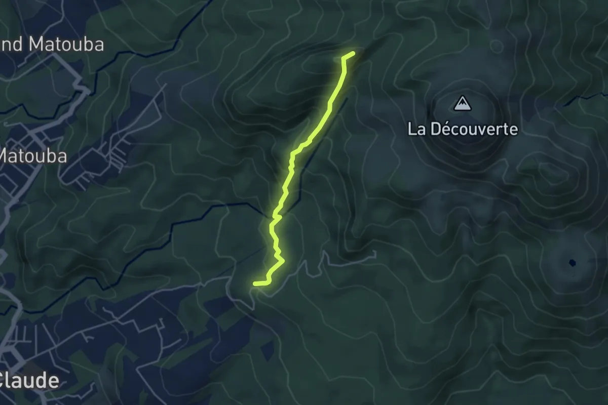
Medium · Summit
Nez Cassé via Beau-Soleil
4.6 km · ↑ 493 m · 2 h 9 min · 7 km away
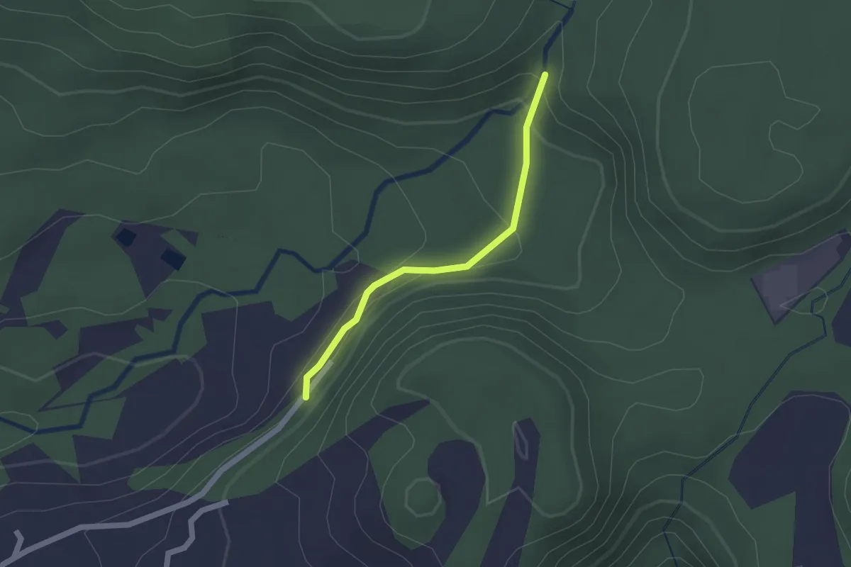
Easy · Trail
Bassin bleu
2.1 km · ↑ 118 m · 45 min · 8 km away
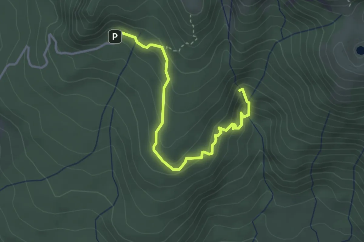
Demanding · Trail
Chute du Galion
4.6 km · ↑ 292 m · 1 h 44 min · 8 km away
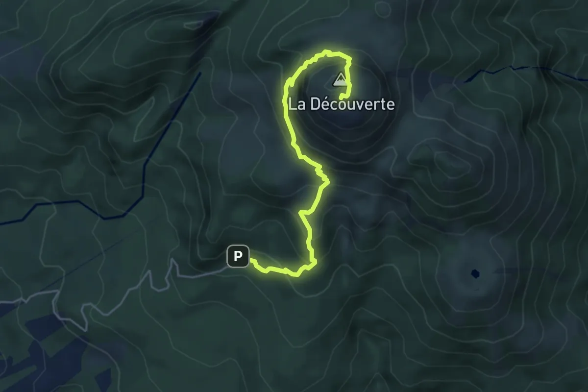
Demanding · Summit
La Soufrière
3.0 km · ↑ 496 m · 1 h 35 min · 8 km away
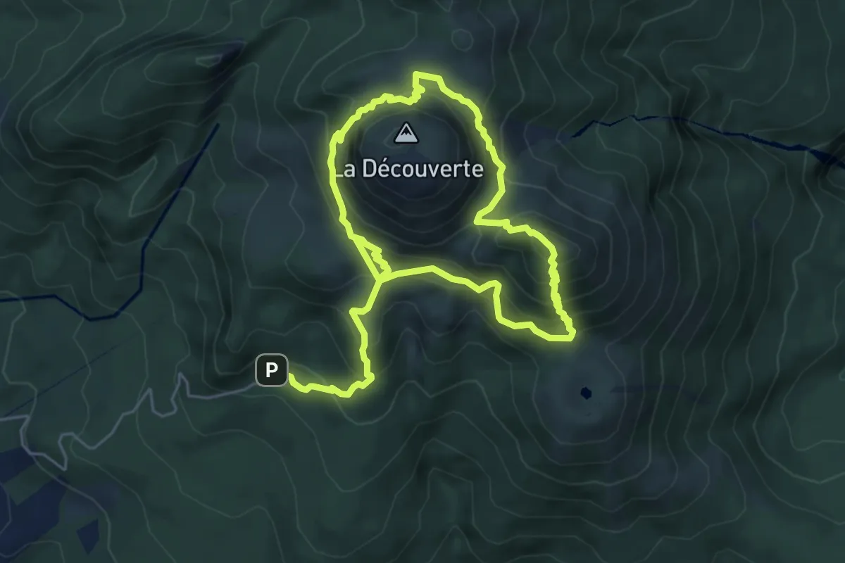
Demanding · Summit
La Soufrière par l'Échelle
6.3 km · ↑ 718 m · 3 h 1 min · 8 km away
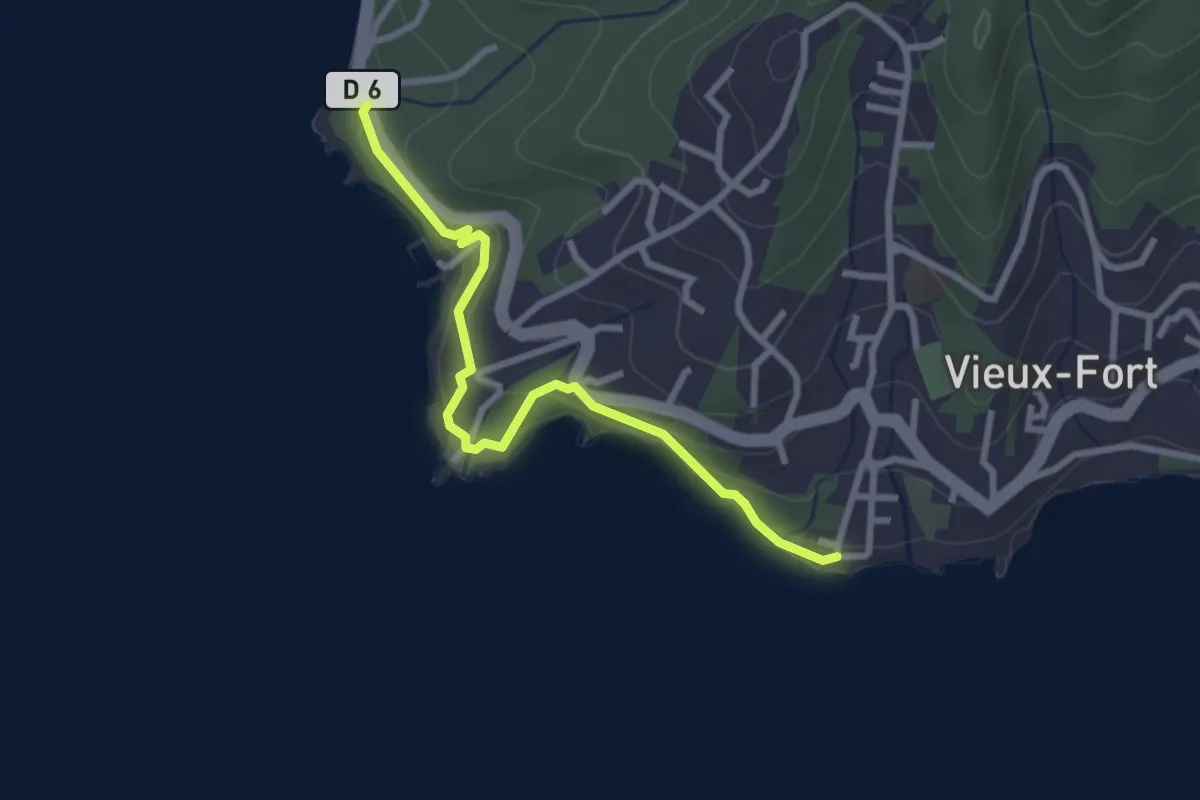
Easy · Trail
Des Trois Pointes à Pointe Plate
3.8 km · ↑ 171 m · 1 h 16 min · 8 km away
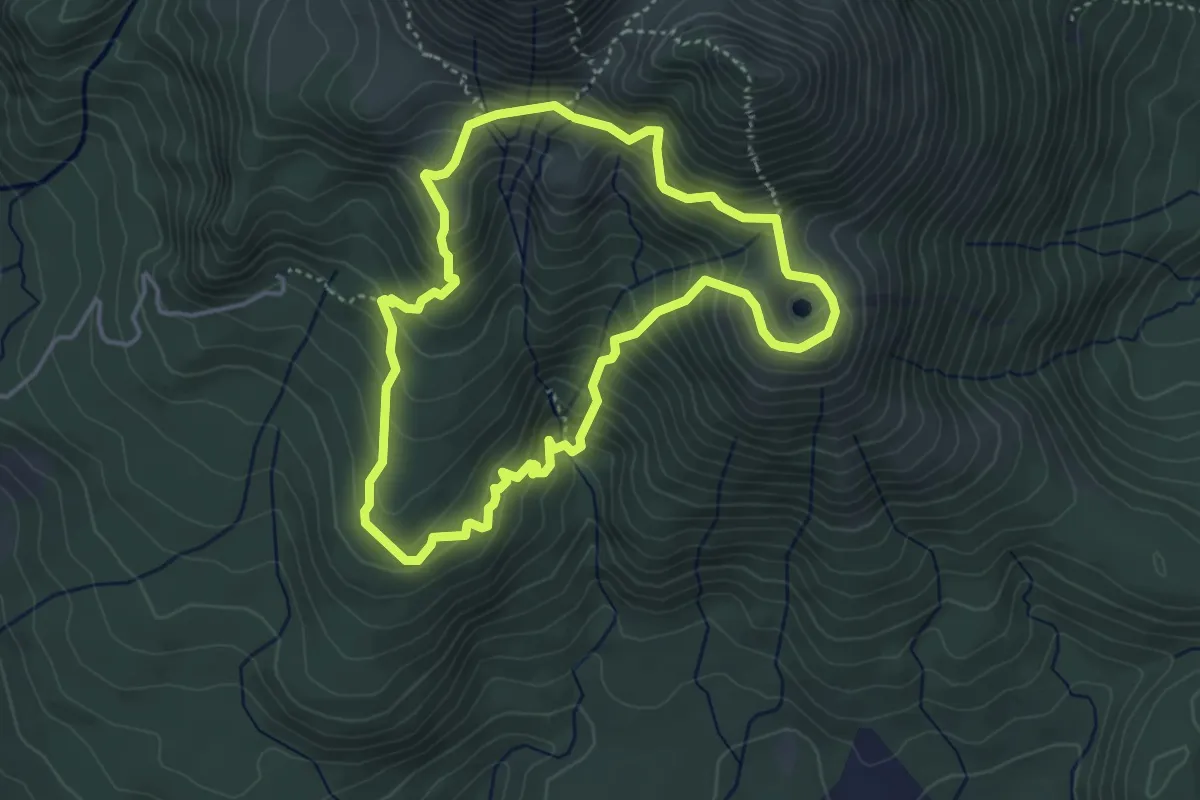
Medium · Summit
Boucle Galion / Armistice
5.4 km · ↑ 438 m · 2 h 19 min · 9 km away
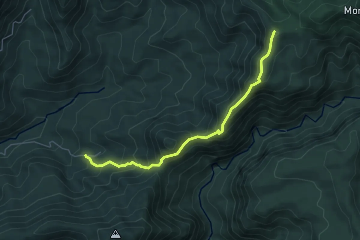
Medium · Summit
Trois Crêtes par la Vallée de Beaugendre
6.5 km · ↑ 593 m · 2 h 49 min · 9 km away
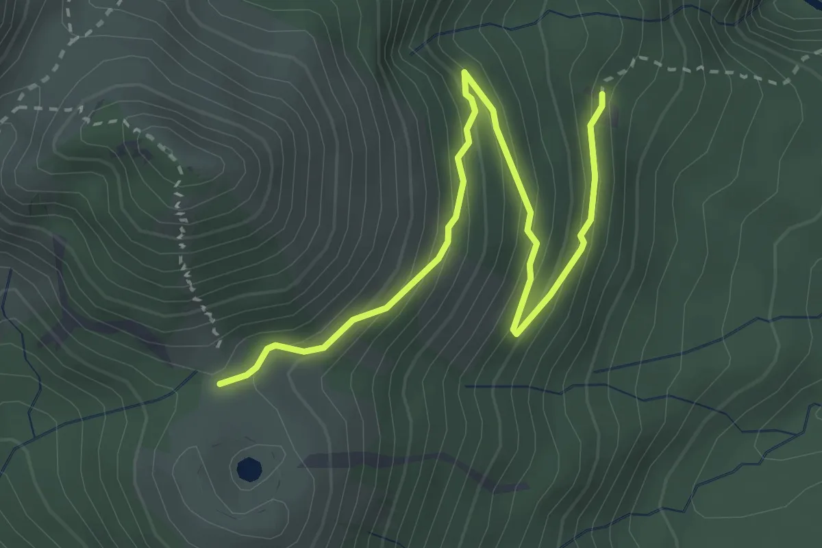
Easy · Cabin
Route en lacets
4.7 km · ↑ 313 m · 1 h 47 min · 10 km away
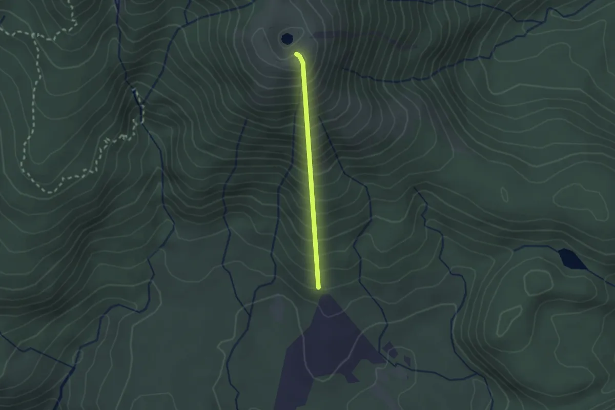
Medium · Summit
Trace des Poteaux
2.3 km · ↑ 403 m · 1 h 25 min · 10 km away
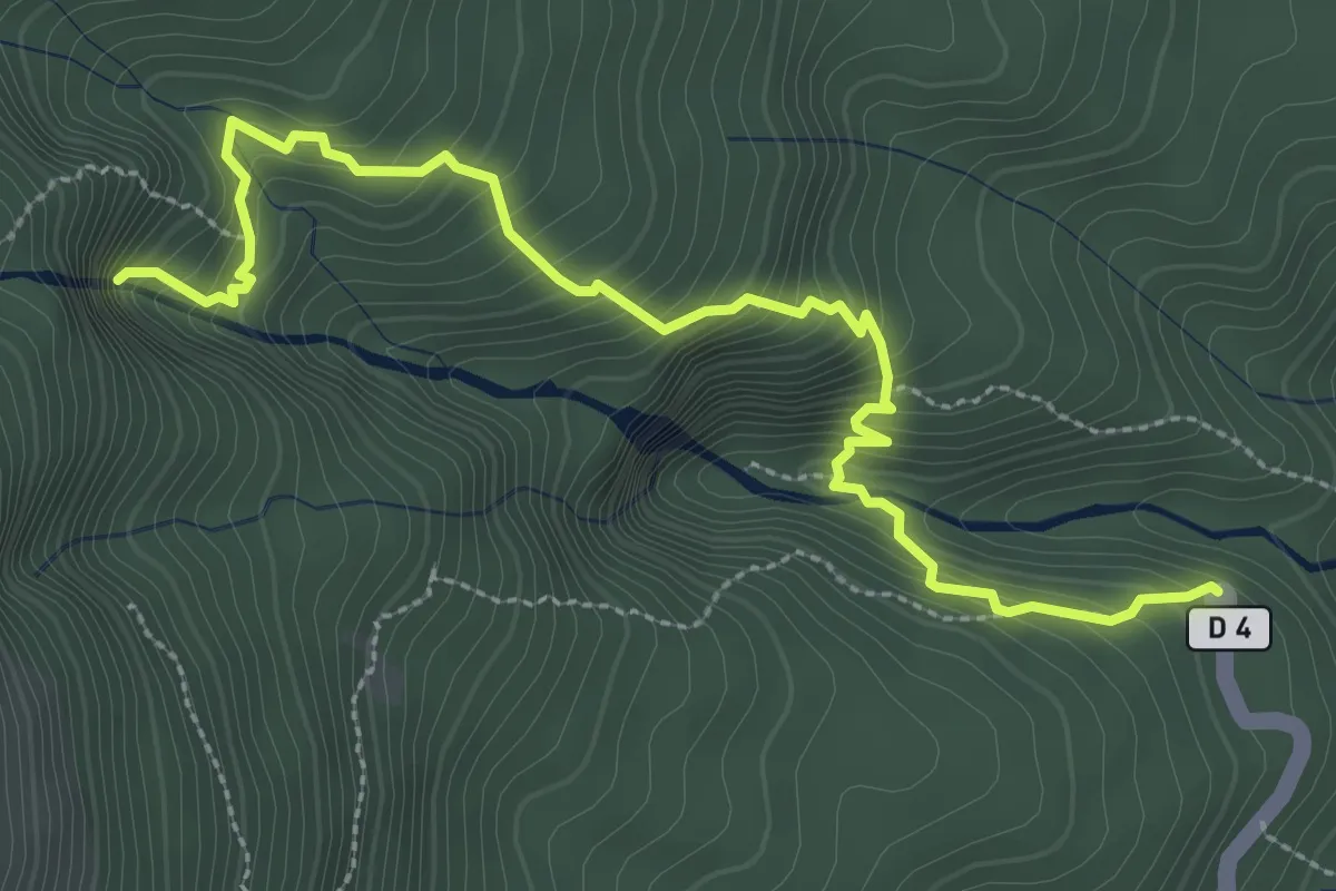
Demanding · Trail
Première Chute du Carbet
4.9 km · ↑ 452 m · 2 h 8 min · 12 km away
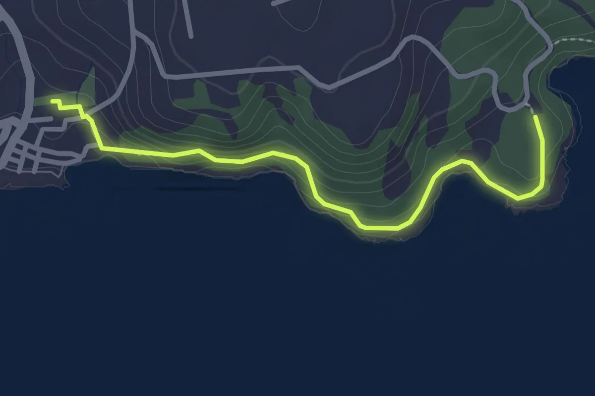
Easy · Trail
Sentier de l'Acomat
3.6 km · ↑ 142 m · 1 h 9 min · 12 km away
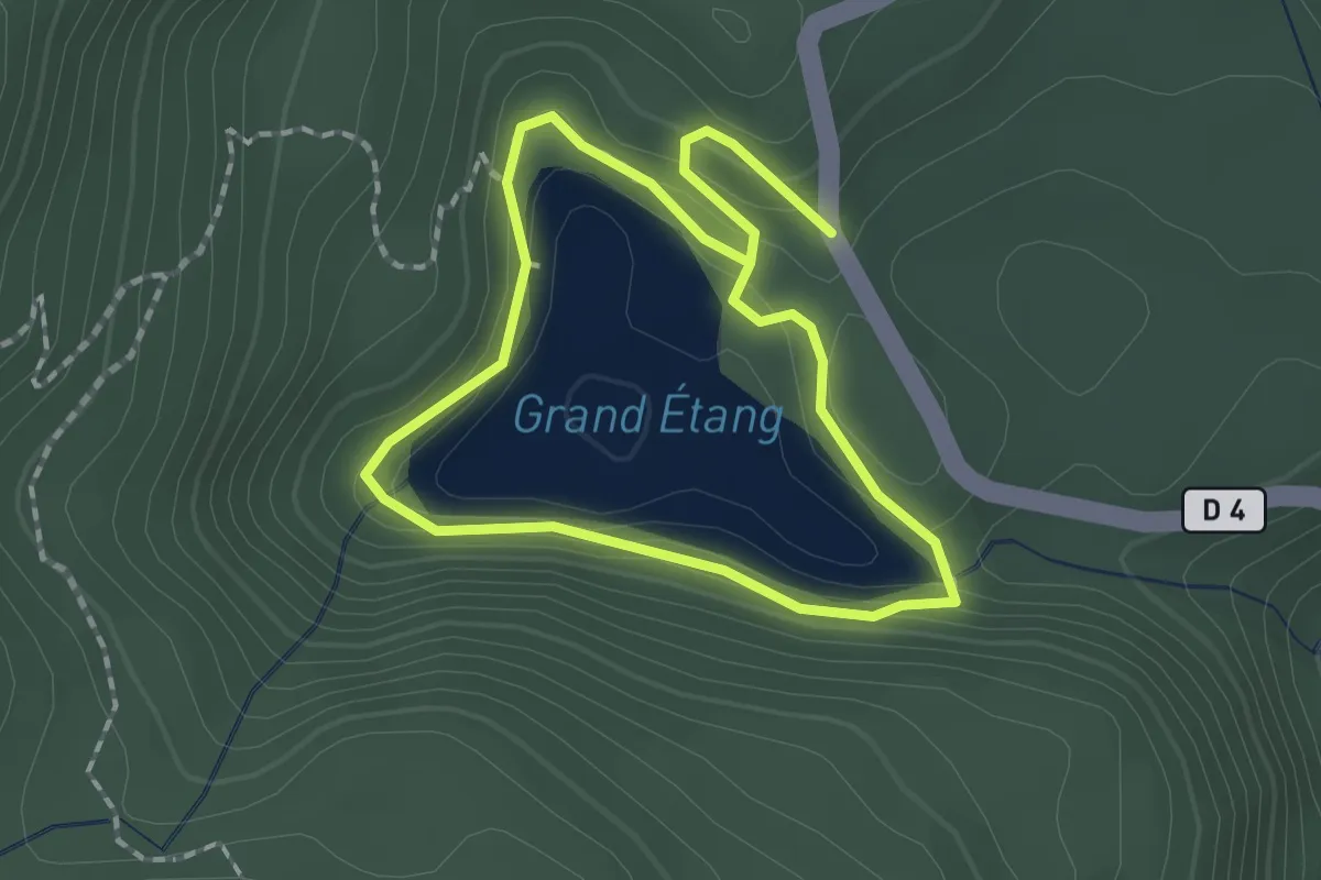
Easy · Trail
Grand Etang
2.1 km · ↑ 85 m · 42 min · 13 km away
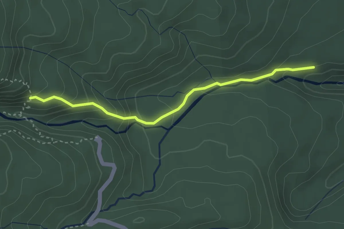
Easy · Trail
Liaison 2e chute / 3e chute du Carbet
4.0 km · ↑ 246 m · 1 h 28 min · 13 km away
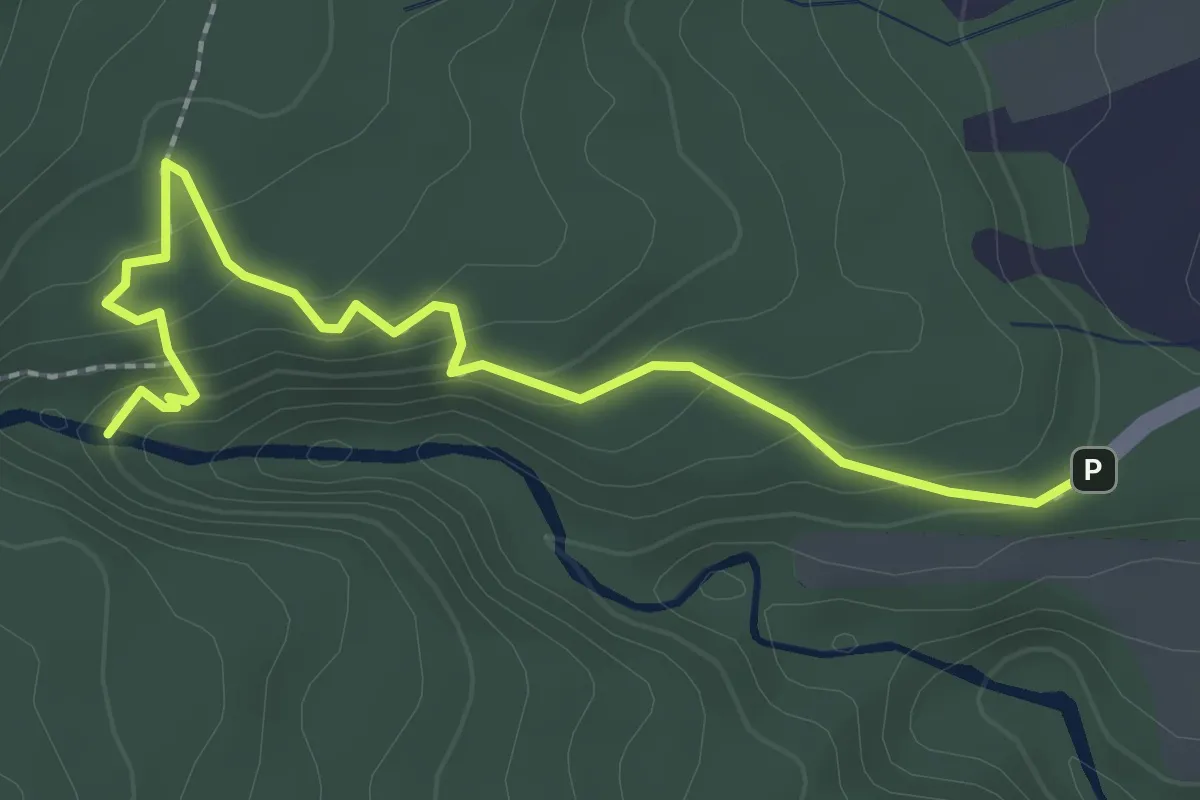
Easy · Trail
Trace de la Troisième Chute du Carbet
3.6 km · ↑ 137 m · 1 h 8 min · 14 km away
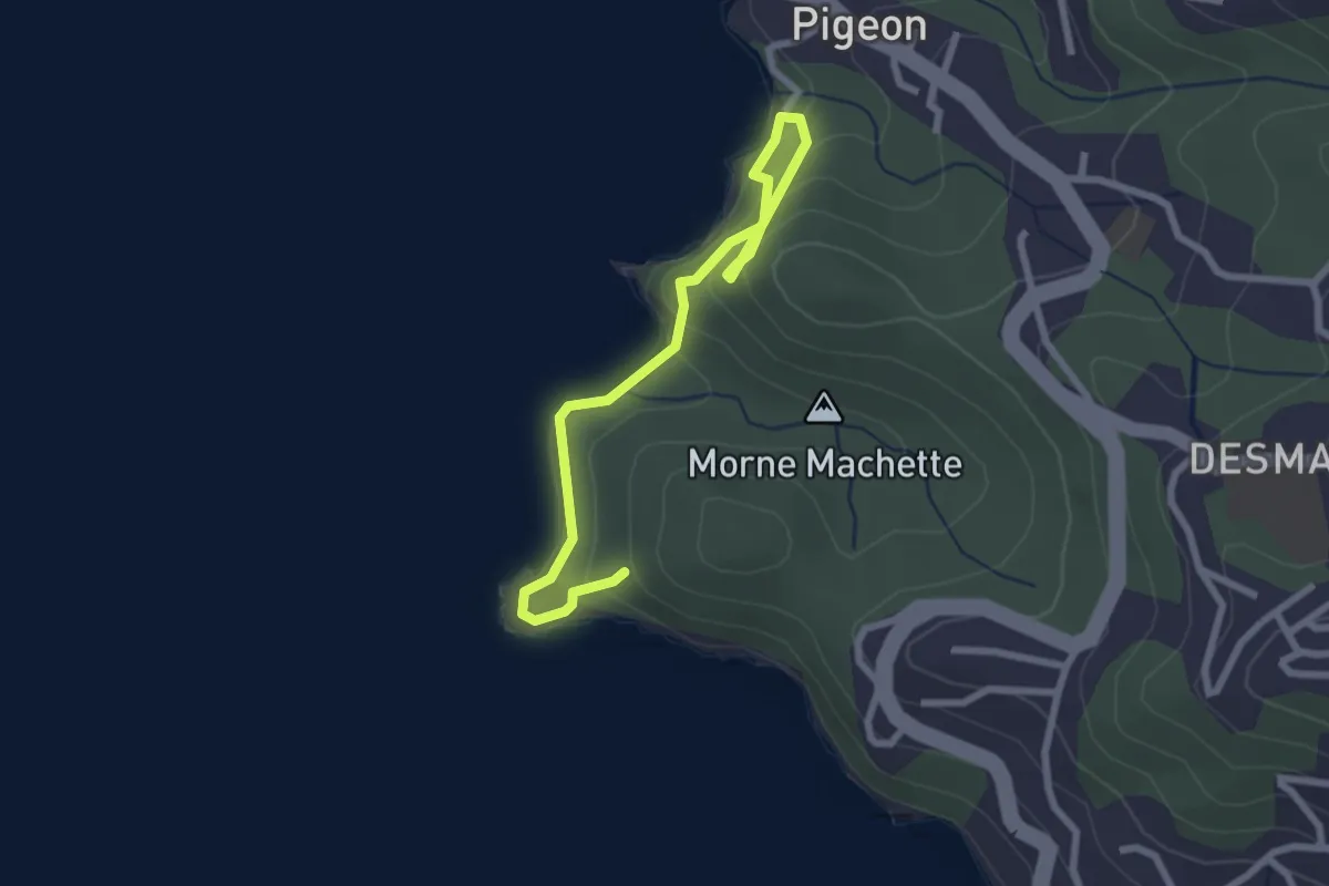
Easy · Trail
Promenade de la Pointe à Lézard
2.0 km · ↑ 104 m · 44 min · 14 km away
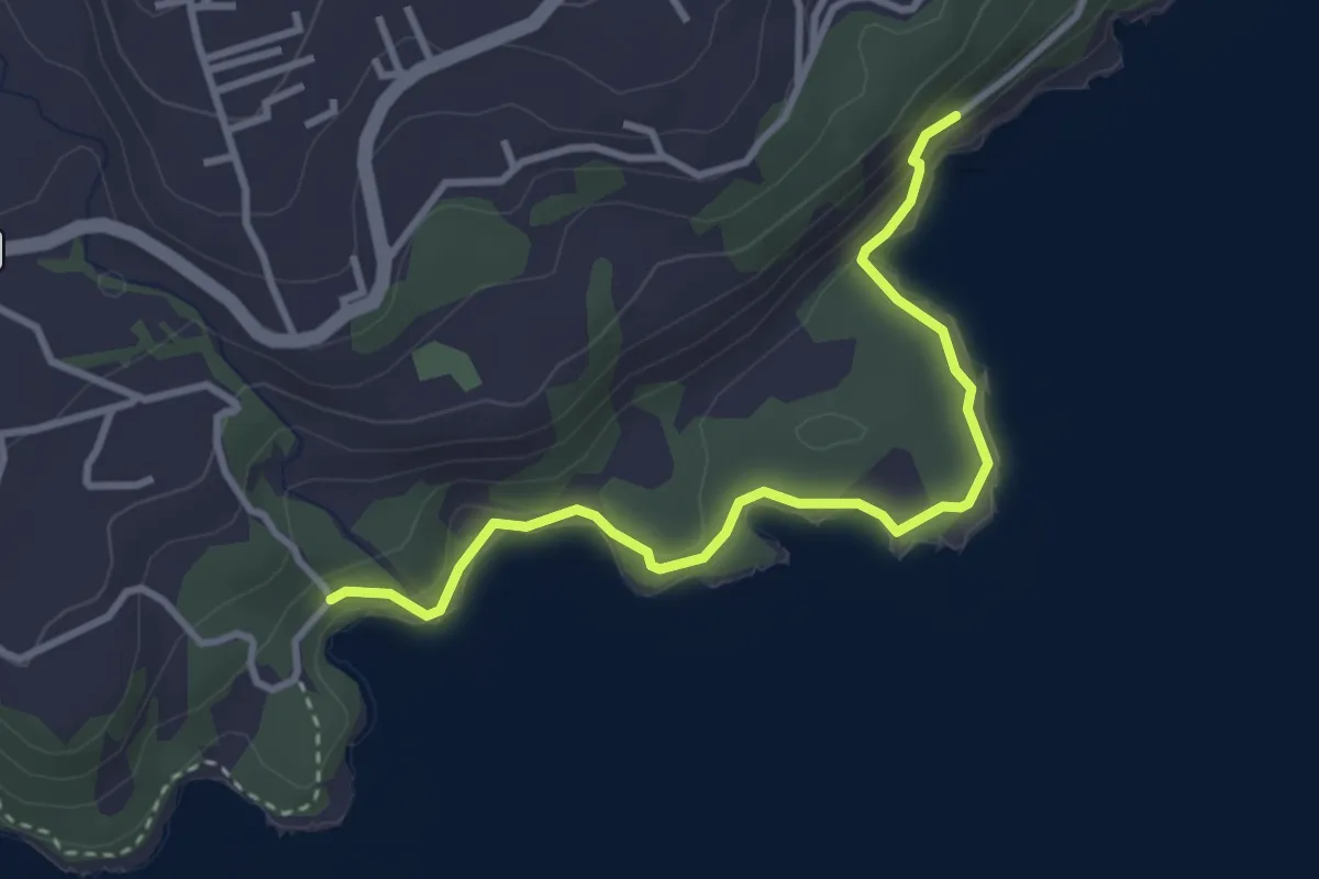
Medium · Trail
Le sentier de la Grande Pointe
4.7 km · ↑ 140 m · 1 h 25 min · 14 km away