Trails near Bédarieux
48 hikes starting within 15 km, nearest first.
Nearest first
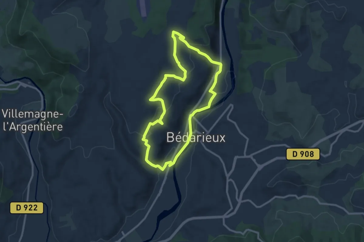
Easy · Trail
Le Causse
7.8 km · ↑ 213 m · 2 h 24 min · 1 km away
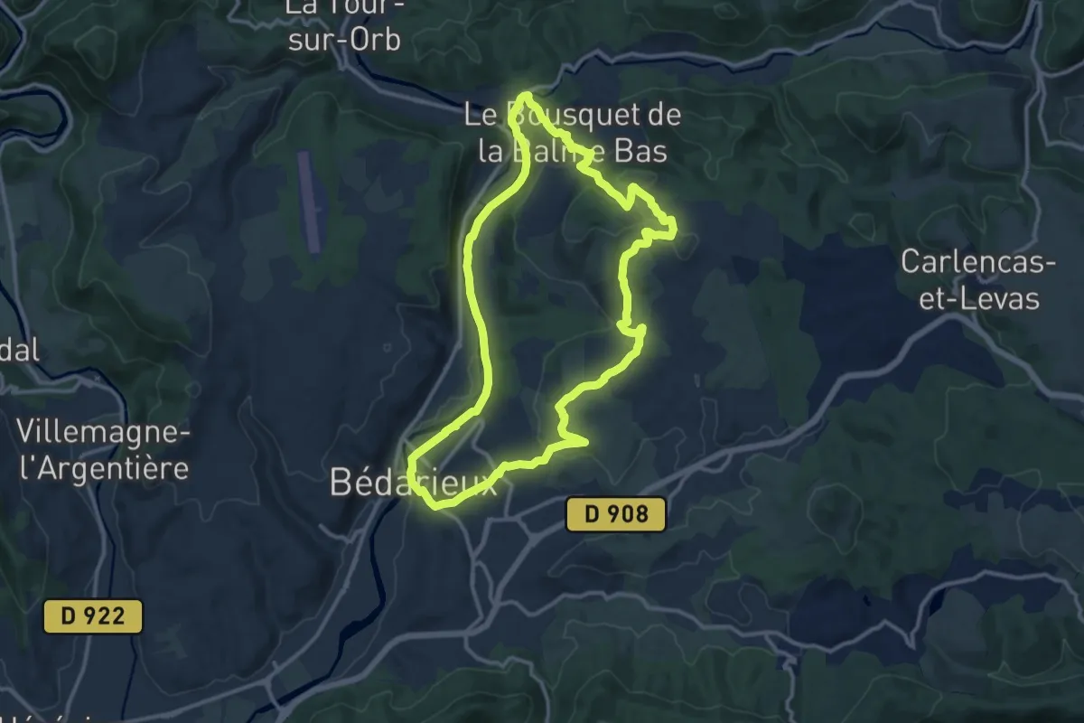
Medium · Trail
Les Balcons de l'Orb
12.6 km · ↑ 300 m · 3 h 48 min · 1 km away
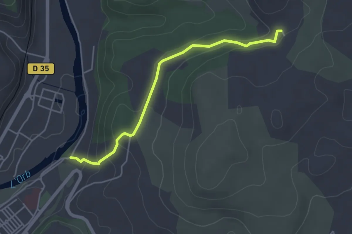
Easy · Trail
Les Balcons de l'Orb Variante
2.0 km · ↑ 117 m · 42 min · 1 km away
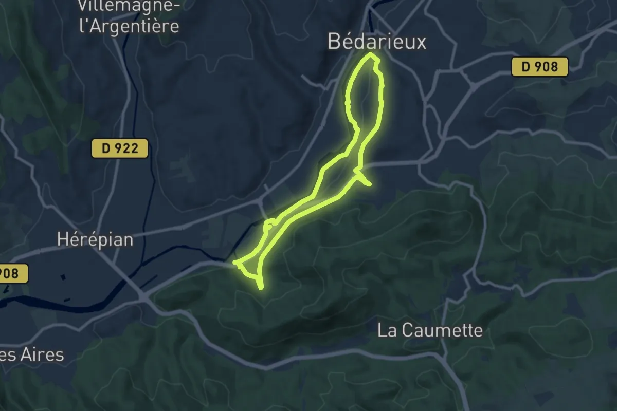
Easy · Trail
Boucle d'Orb
8.0 km · ↑ 151 m · 2 h 20 min · 3 km away
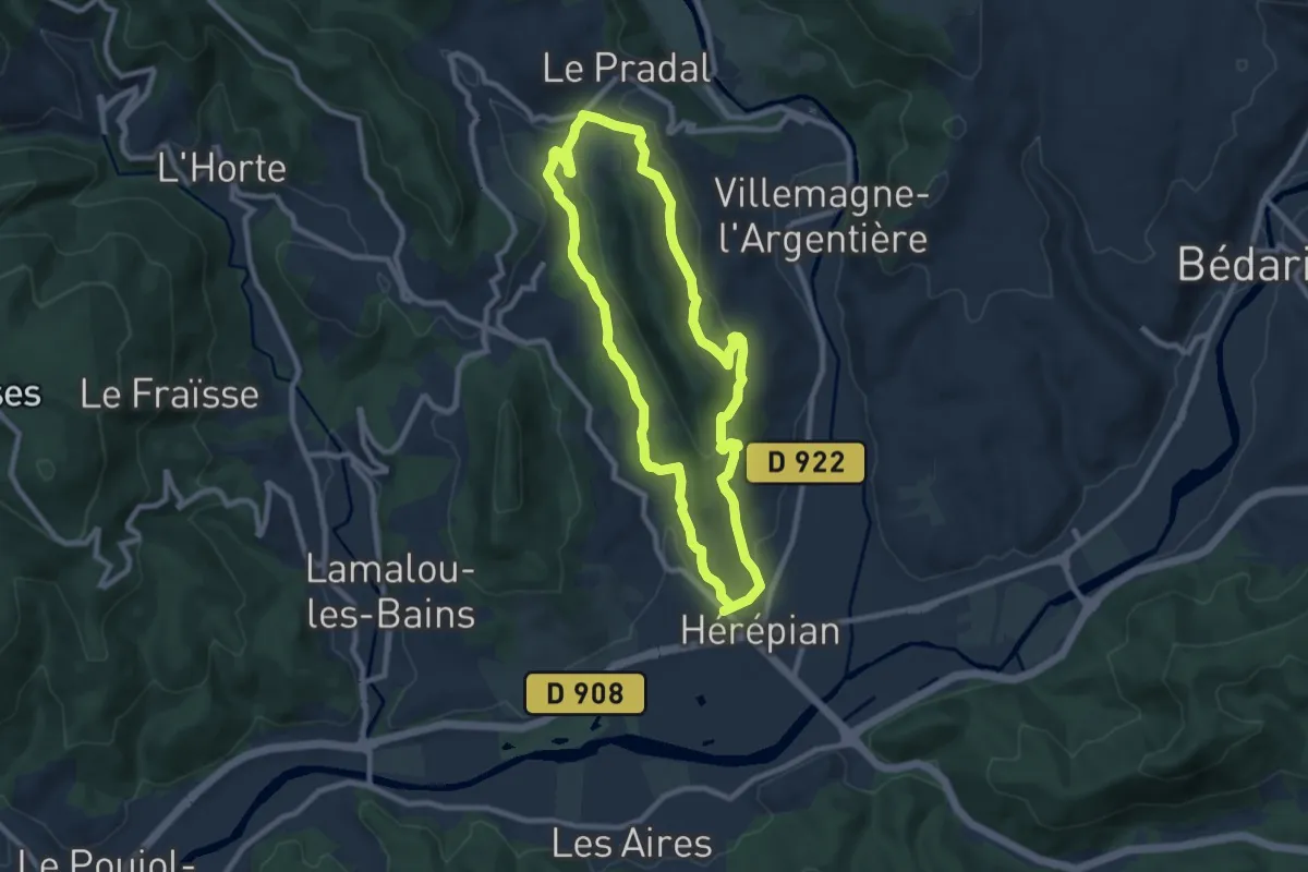
Medium · Trail
Peyre Pinche
8.8 km · ↑ 215 m · 2 h 39 min · 4 km away
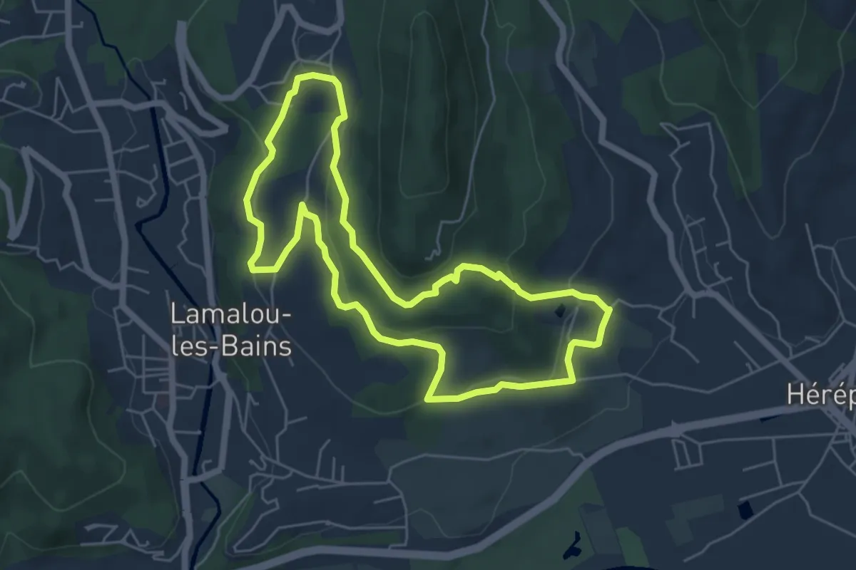
Easy · Trail
Notre Dame de Capimont
5.5 km · ↑ 178 m · 1 h 46 min · 5 km away
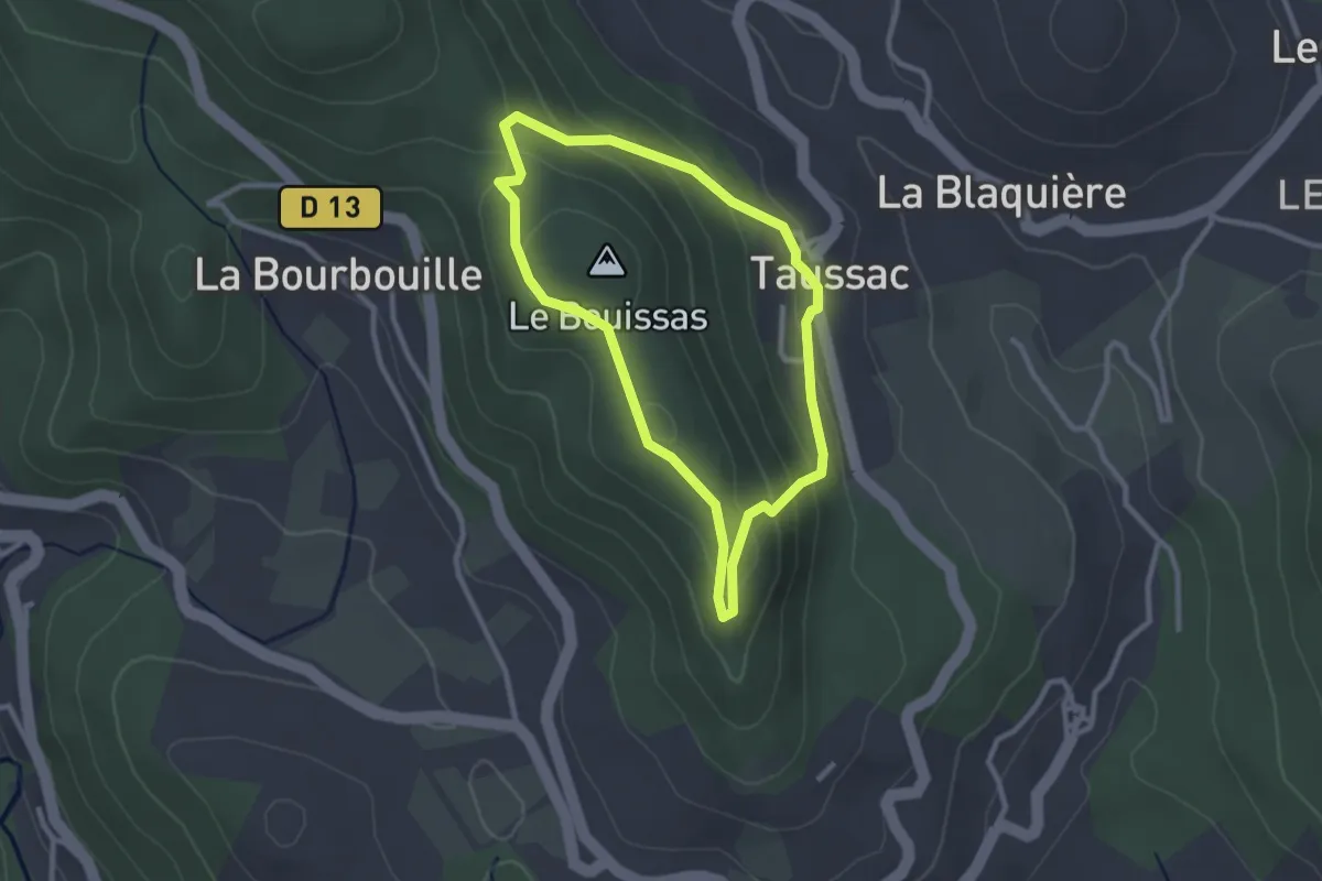
Easy · Summit
Les Orgues de Taussac
2.6 km · ↑ 107 m · 52 min · 5 km away
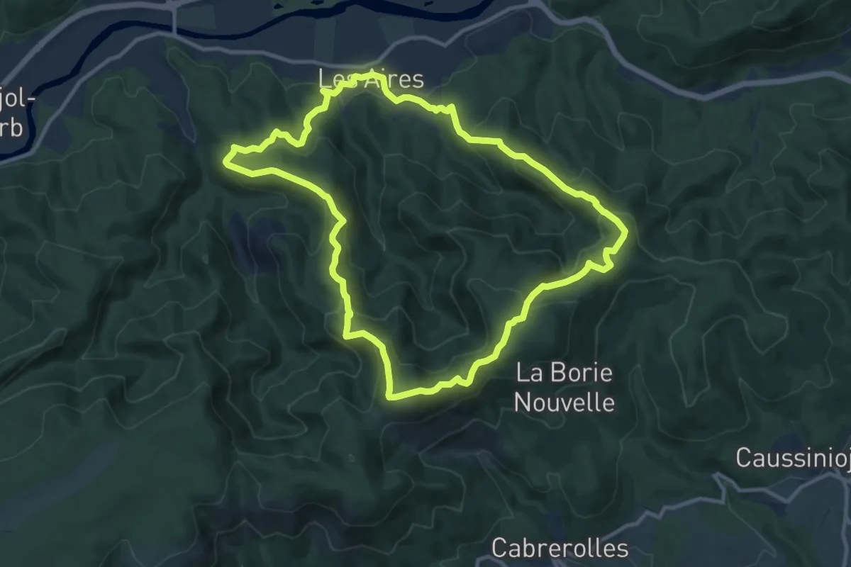
Medium · Summit
Saint-Michel de Mourcairol
11.1 km · ↑ 587 m · 4 h 2 min · 6 km away
Easy · Trail
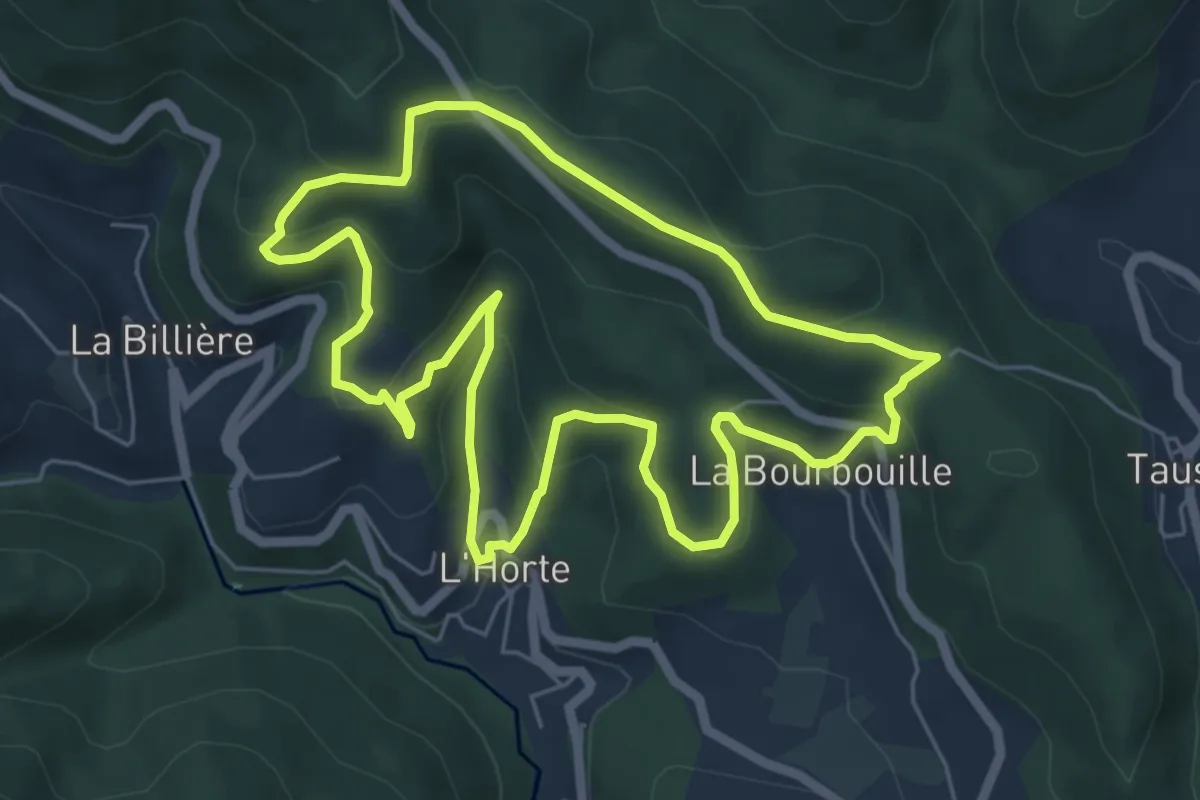
Les Orgues de Taussac
6.2 km · ↑ 299 m · 2 h 12 min · 6 km away
Medium · Trail
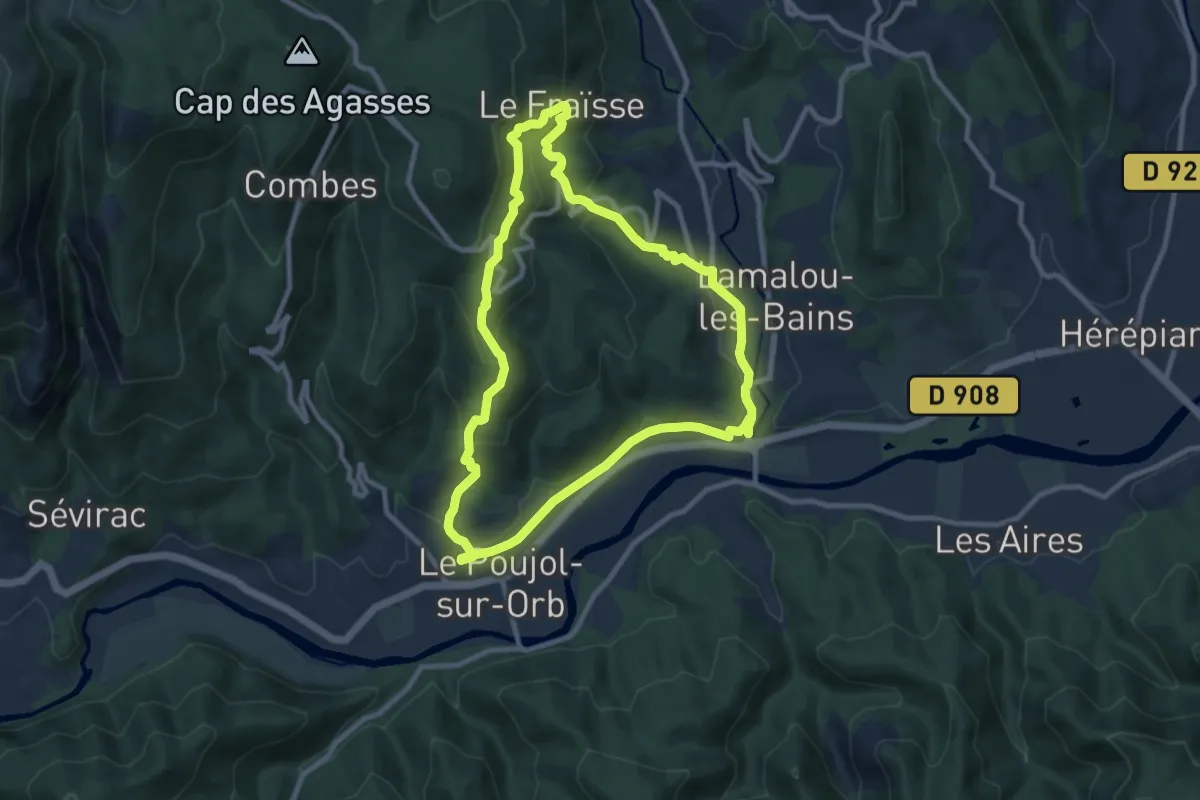
La Croix des Baussels
9.5 km · ↑ 347 m · 3 h 7 min · 7 km away
Medium · Trail
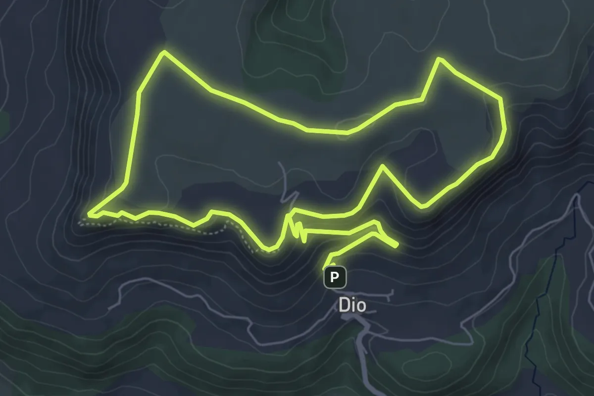
Les crètes de Dio
13.1 km · ↑ 348 m · 3 h 51 min · 7 km away
Medium · Trail
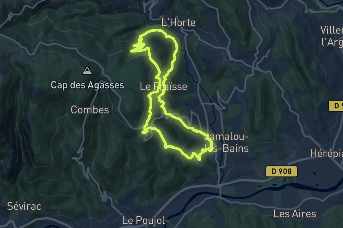
Circuit Le Roc de Bessèdes
11.0 km · ↑ 598 m · 4 h 3 min · 7 km away
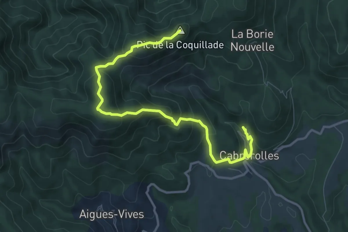
Medium · Summit
Cabrerolles La Coquillade
9.6 km · ↑ 617 m · 3 h 37 min · 8 km away
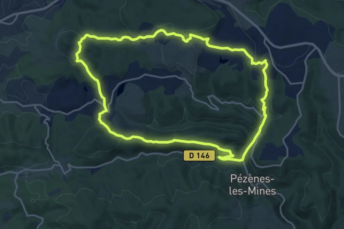
Medium · Trail
Le Dolmen de Pézènes
12.1 km · ↑ 353 m · 3 h 48 min · 8 km away
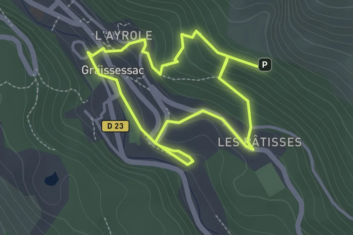
Easy · Trail
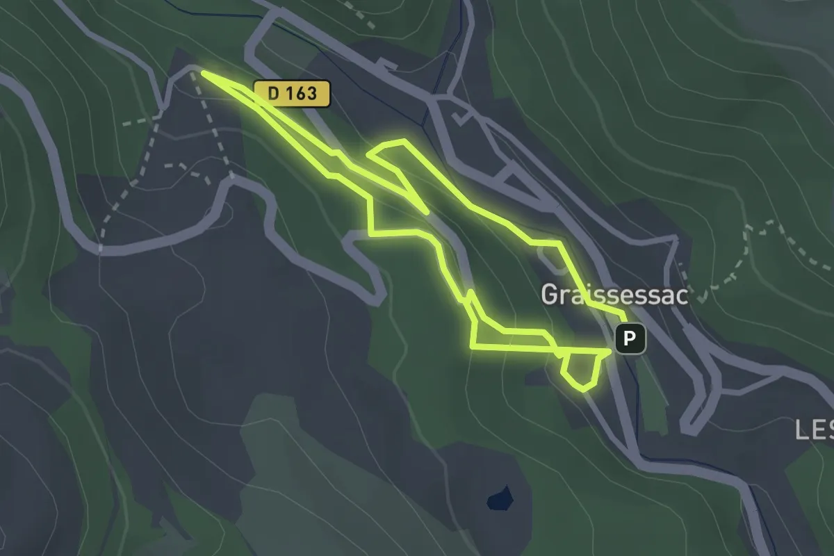
Circuit minier rouge
4.8 km · ↑ 235 m · 1 h 38 min · 8 km away
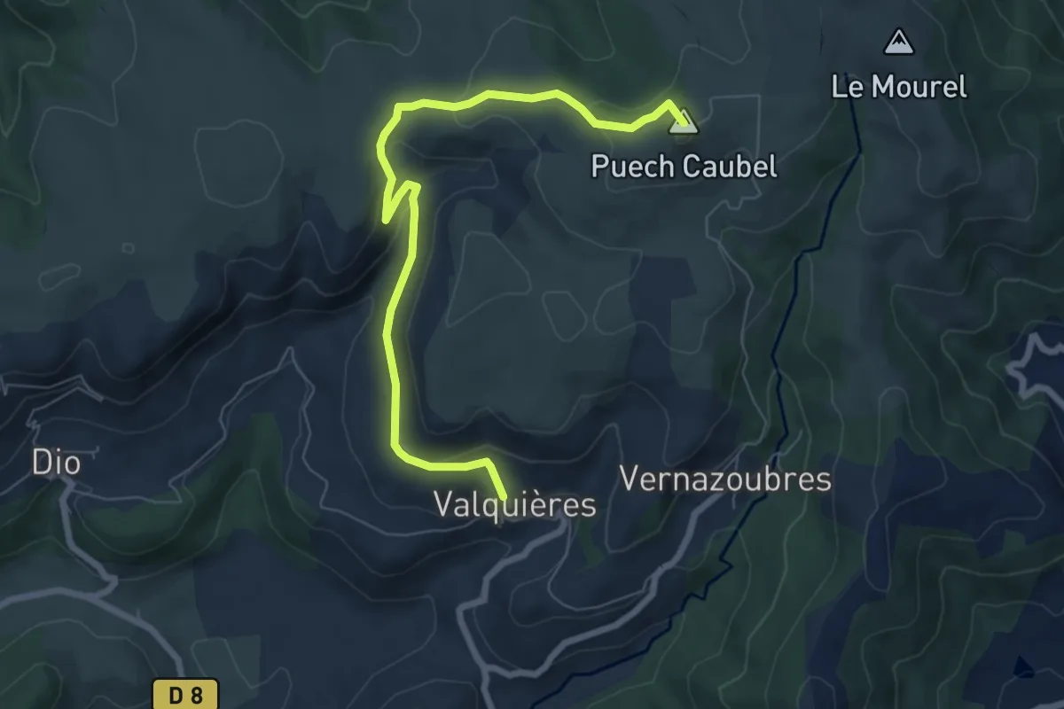
Easy · Summit
Mont-Martin
7.7 km · ↑ 253 m · 2 h 21 min · 8 km away
Easy · Trail
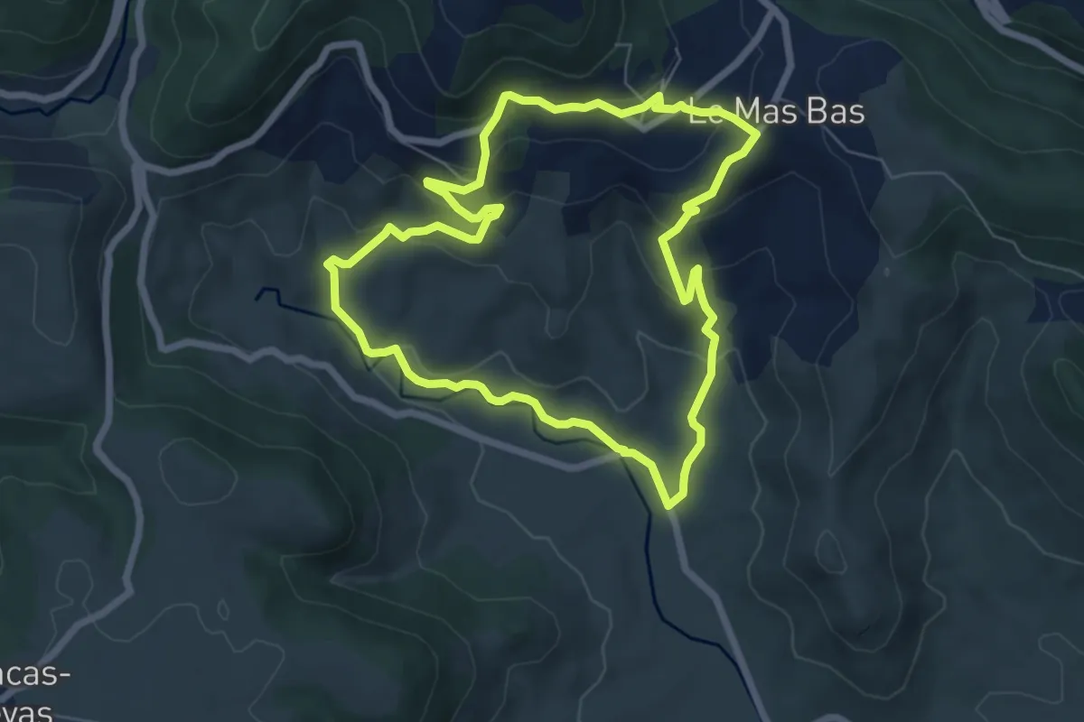
Circuit minier bleu
5.2 km · ↑ 254 m · 1 h 47 min · 9 km away
Easy · Trail
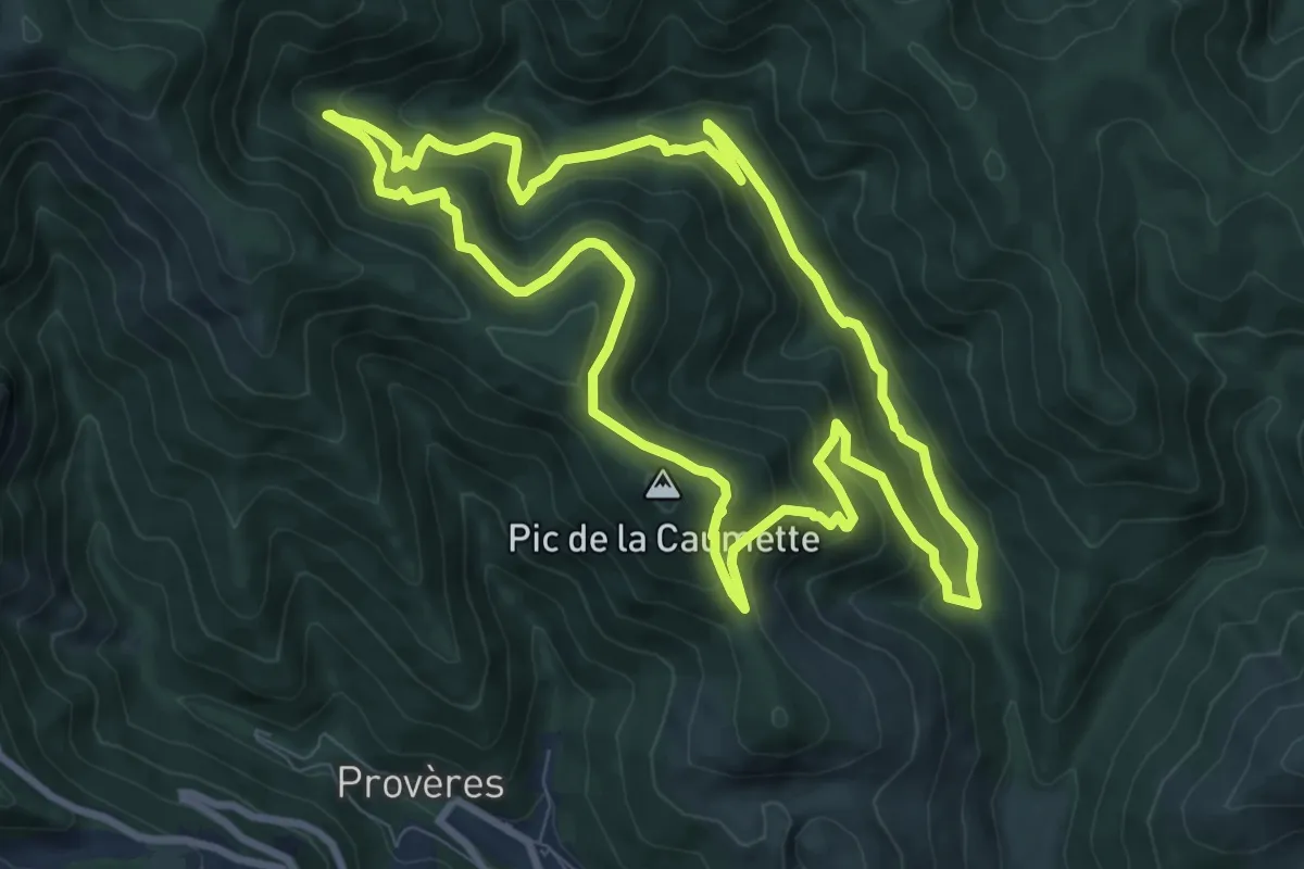
Les Ruffes
6.7 km · ↑ 266 m · 2 h 15 min · 9 km away
Medium · Summit
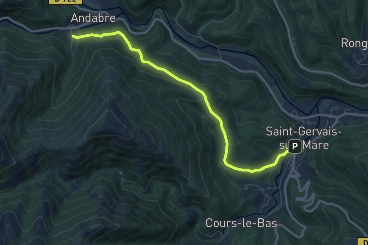
L'Arboretum de l'Espaze
9.4 km · ↑ 574 m · 3 h 36 min · 10 km away
Easy · Trail
La Haute Vallée de la Mare Variante
4.0 km · ↑ 185 m · 1 h 23 min · 10 km away
Medium · Trail
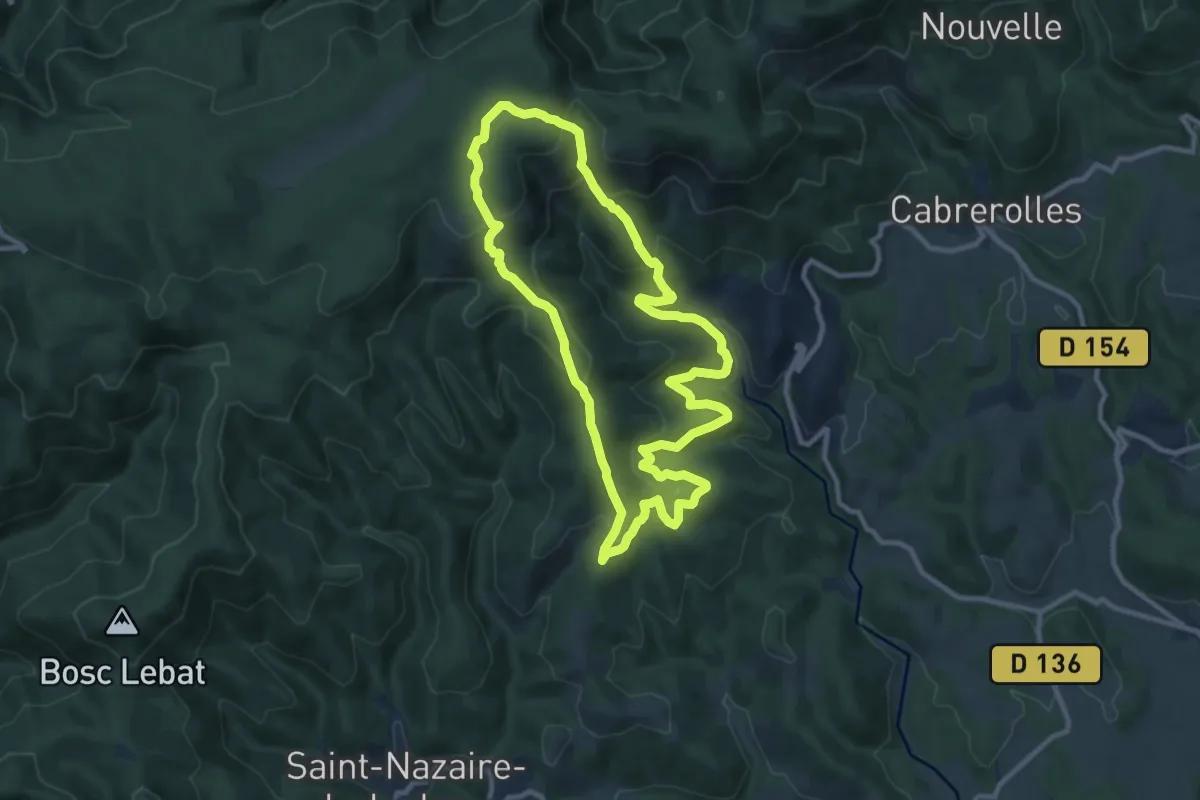
Cabrerolles Voie Romaine
10.4 km · ↑ 397 m · 3 h 28 min · 11 km away
Medium · Trail
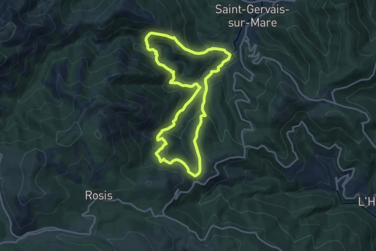
Les Banissous
9.5 km · ↑ 638 m · 3 h 46 min · 11 km away
Medium · Trail
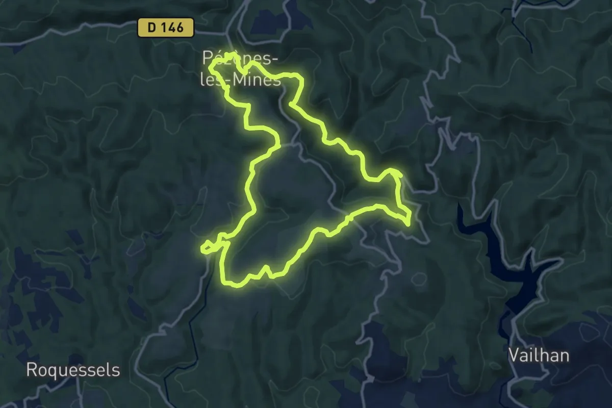
Pézènes-les-Mines : vallée de la Peyne et village de Fos
13.7 km · ↑ 378 m · 4 h 15 min · 11 km away
Easy · Trail
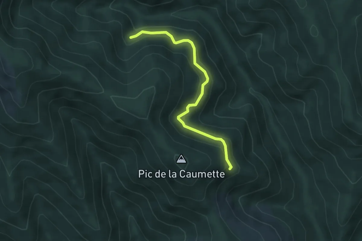
L'Arboretum de l'Espaze Variante
2.2 km · ↑ 190 m · 54 min · 11 km away
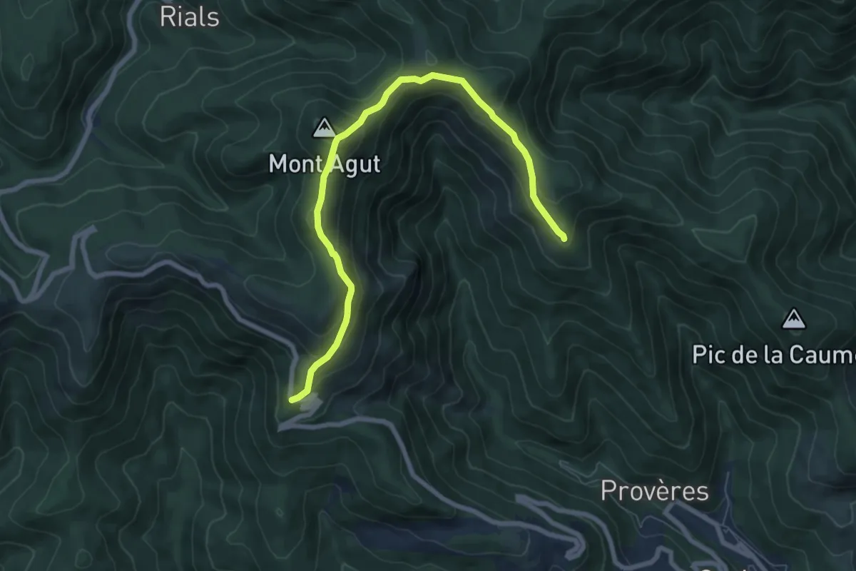
Easy · Summit
Le Devois
3.9 km · ↑ 239 m · 1 h 31 min · 11 km away
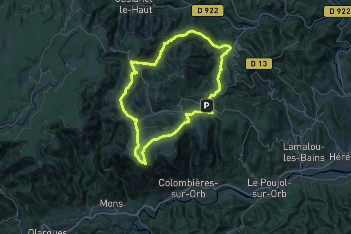
Demanding · Trail
Boucle du Caroux
24.8 km · ↑ 1284 m · 8 h 59 min · 11 km away
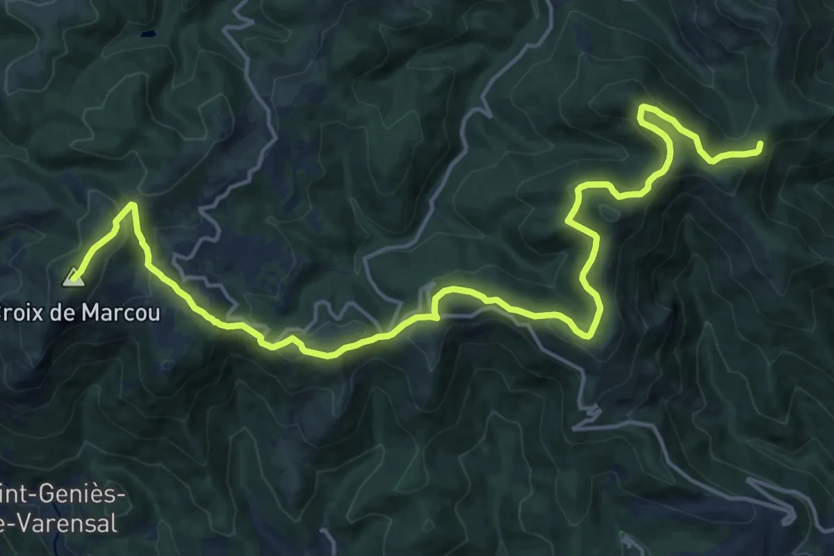
Demanding · Trail
Tours dans le Pays Haut Languedoc et Vignobles
20.1 km · ↑ 867 m · 6 h 37 min · 12 km away
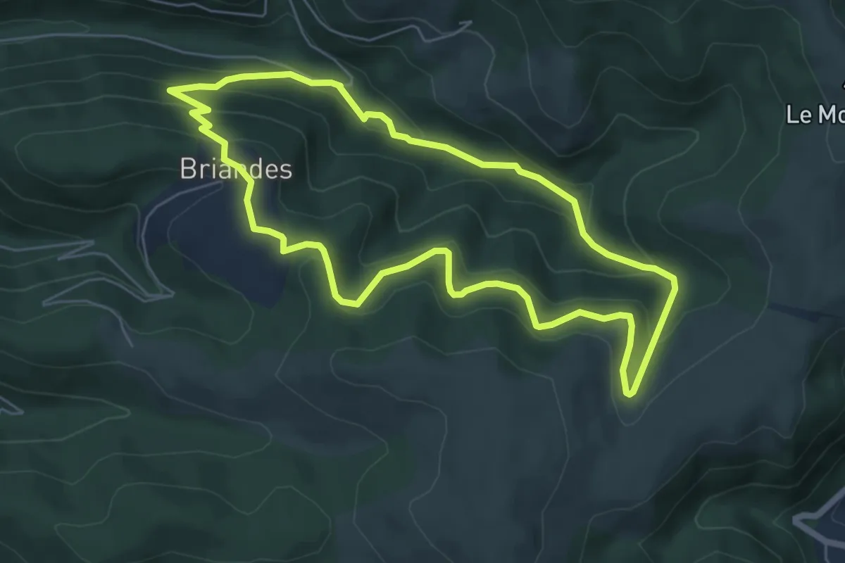
Easy · Trail
Laval de Nize
6.0 km · ↑ 285 m · 2 h 8 min · 12 km away
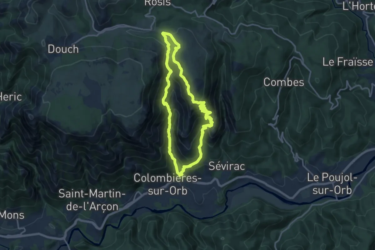
Medium · Summit
Les Gorges de Colombieres
10.9 km · ↑ 703 m · 4 h 16 min · 12 km away
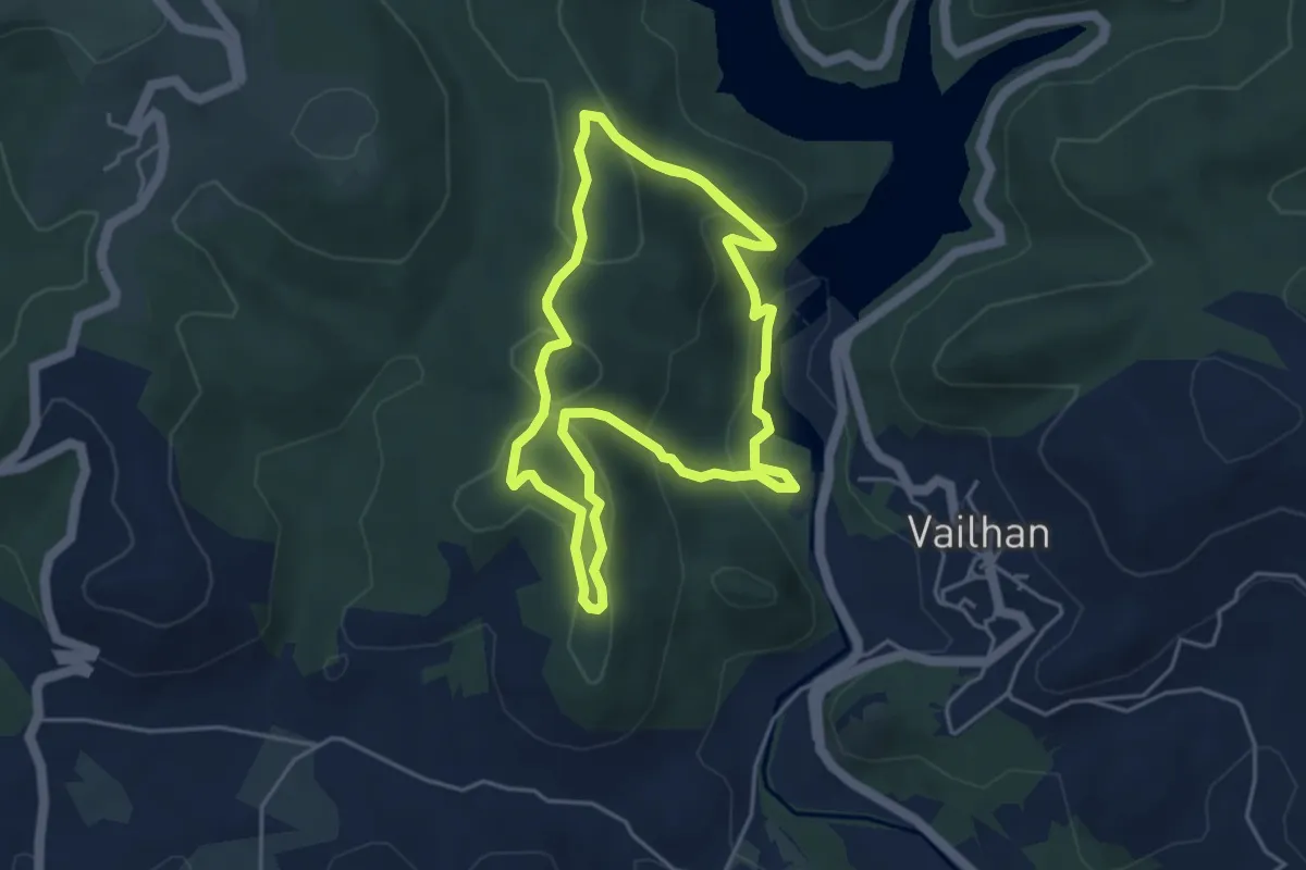
Medium · Trail
Sentier des Olivettes
9.6 km · ↑ 354 m · 3 h 3 min · 12 km away
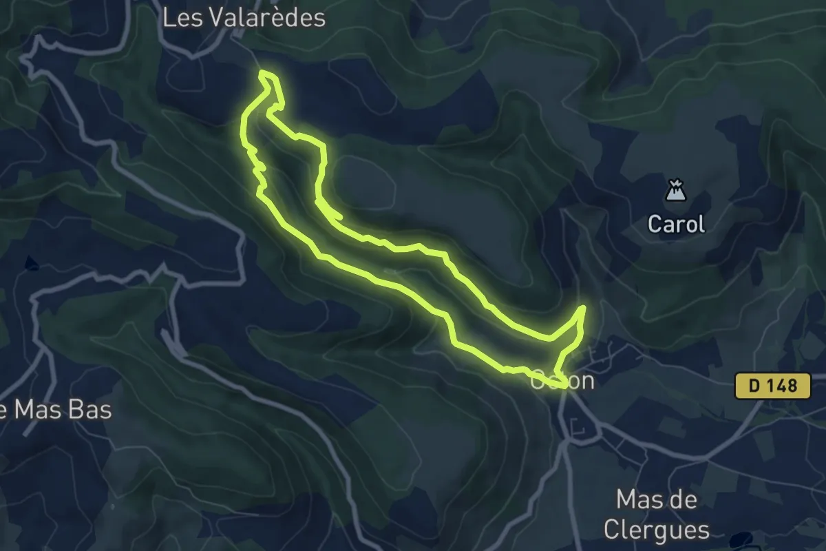
Easy · Trail
Notre Dame de Roubignac
7.5 km · ↑ 248 m · 2 h 25 min · 12 km away
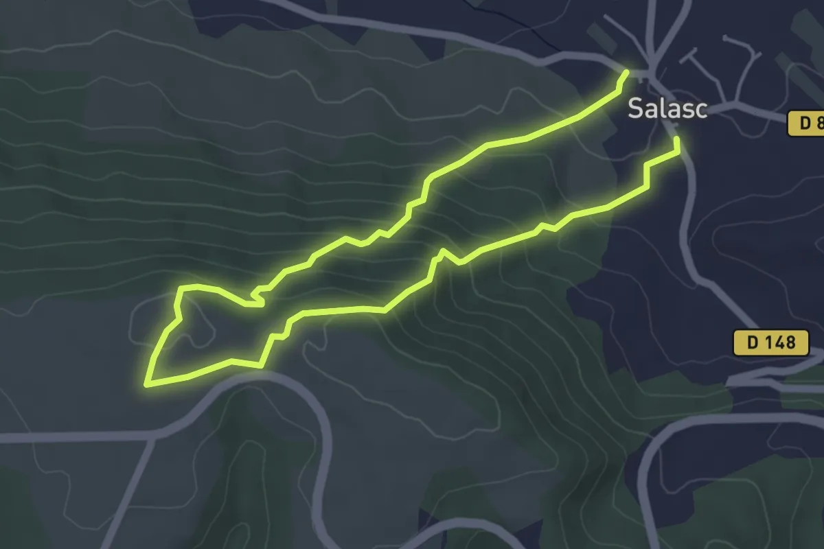
Medium · Trail
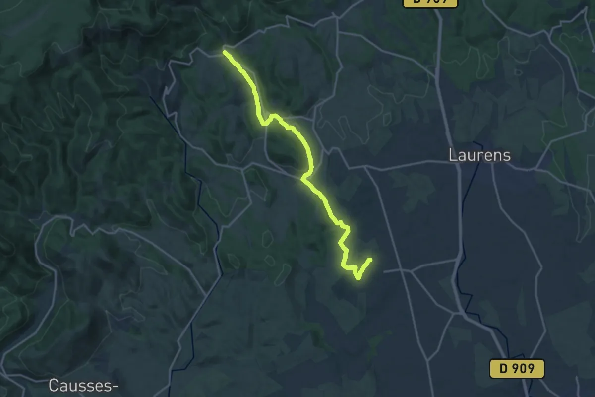
Sentier des Béals
7.8 km · ↑ 408 m · 2 h 43 min · 13 km away
Medium · Trail
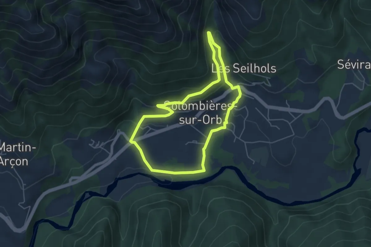
Boucle de Faugères
15.5 km · ↑ 278 m · 4 h 15 min · 13 km away
Medium · Trail
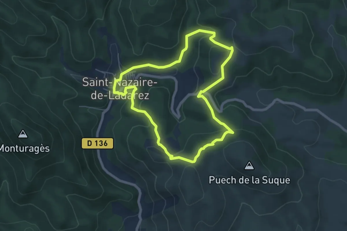
Les Balcons d'Arles
9.5 km · ↑ 370 m · 3 h 3 min · 13 km away
Easy · Trail
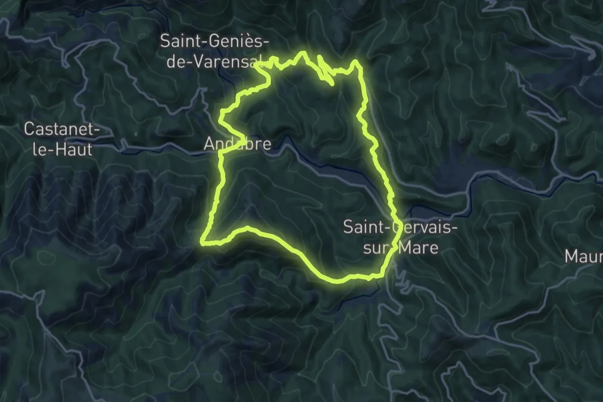
Raouta Saoumas
5.1 km · ↑ 204 m · 1 h 43 min · 13 km away
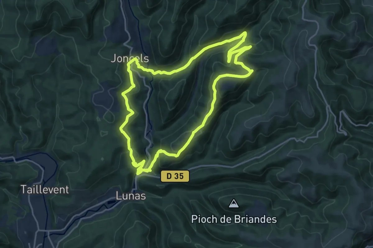
Medium · Trail
La Haute Vallée de la Mare
15.3 km · ↑ 747 m · 5 h 26 min · 13 km away
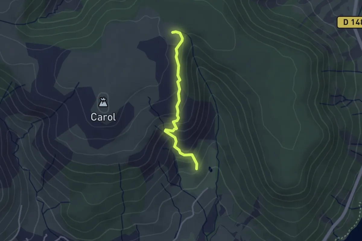
Medium · Trail
Les Buis
15.1 km · ↑ 581 m · 5 h 1 min · 14 km away
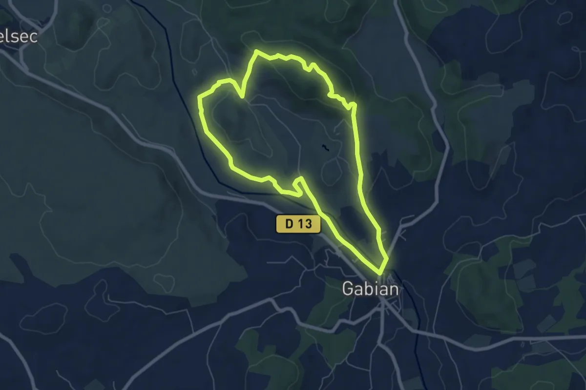
Easy · Trail
Randonnue Jaune
2.6 km · ↑ 162 m · 58 min · 14 km away
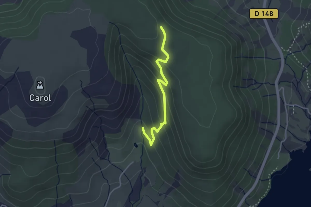
Easy · Summit
Gabian et la rivière la Thongue
6.4 km · ↑ 137 m · 1 h 55 min · 14 km away
Easy · Trail
Randonnue Orange
3.0 km · ↑ 147 m · 1 h 2 min · 14 km away
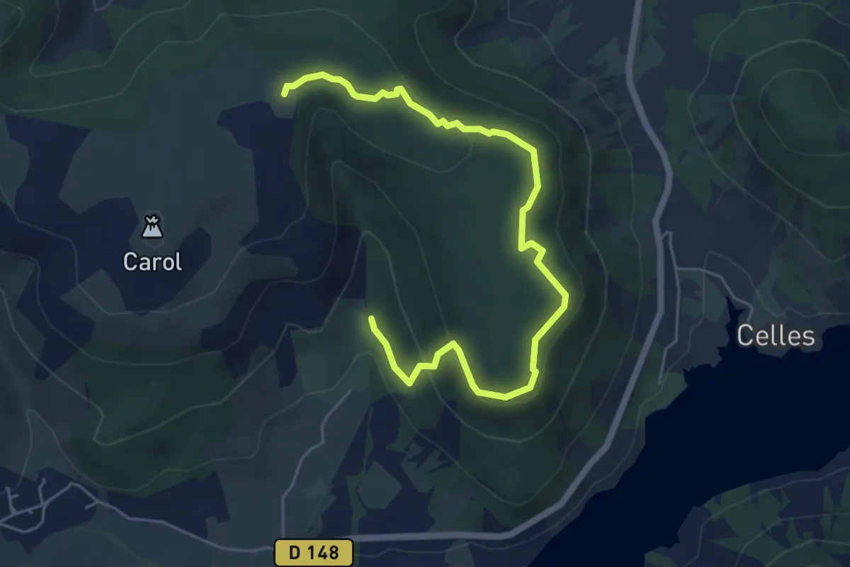
Easy · Trail
Randonnue verte
6.3 km · ↑ 195 m · 1 h 55 min · 14 km away
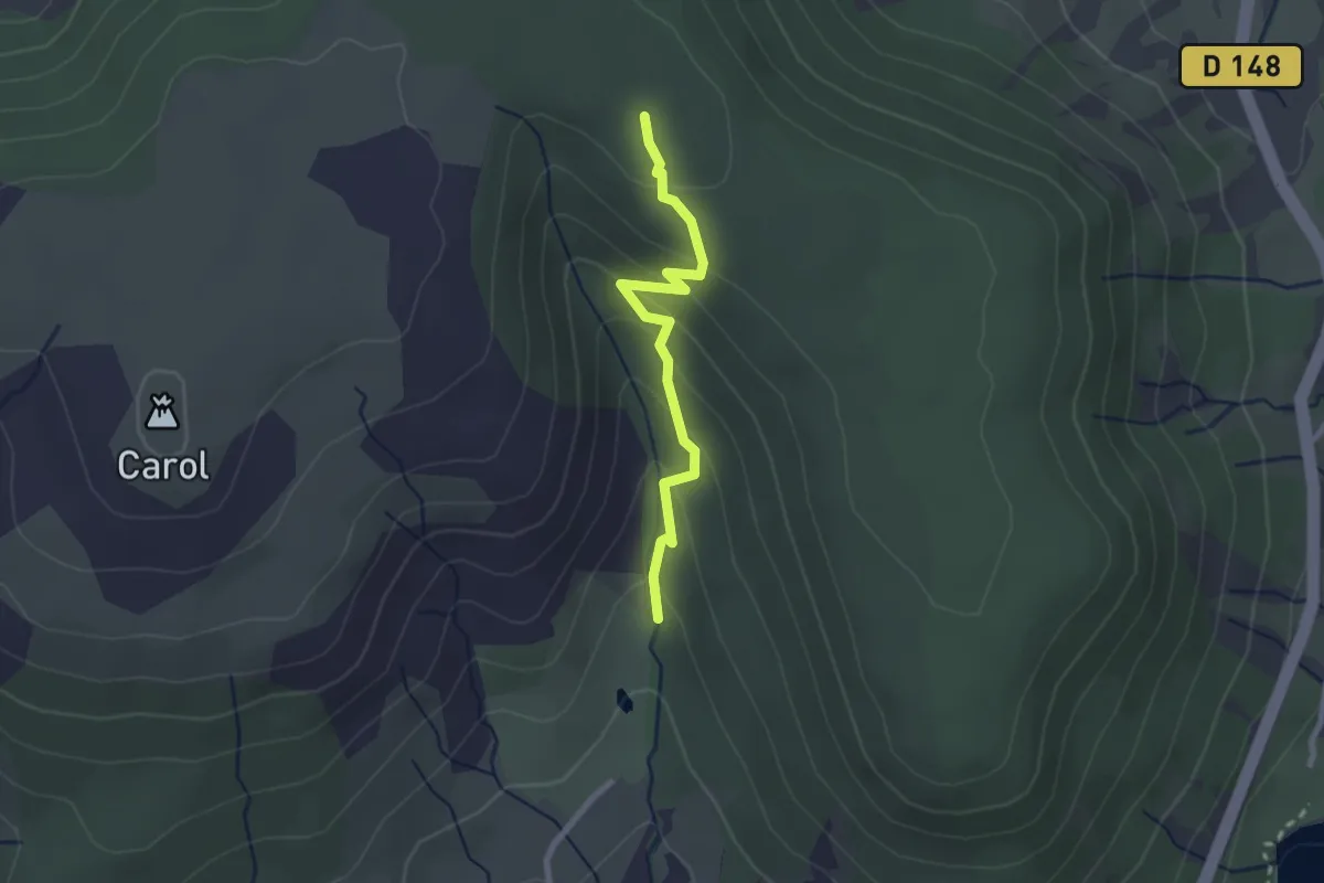
Easy · Trail
Randonnue Rouge Jaune
2.4 km · ↑ 145 m · 53 min · 14 km away
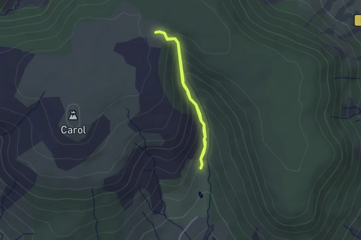
Easy · Trail
Randonnue Rouge
1.9 km · ↑ 146 m · 47 min · 14 km away
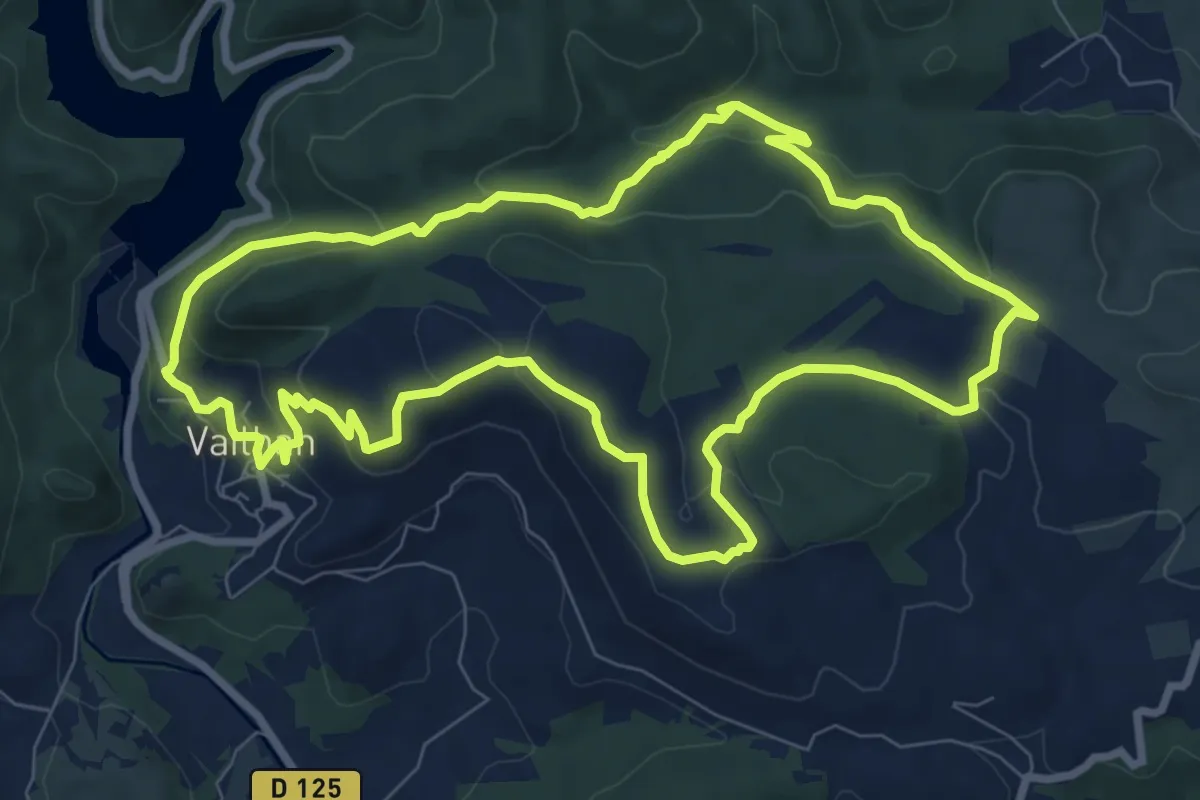
Medium · Summit
Sentier du Temple
9.2 km · ↑ 275 m · 2 h 54 min · 14 km away
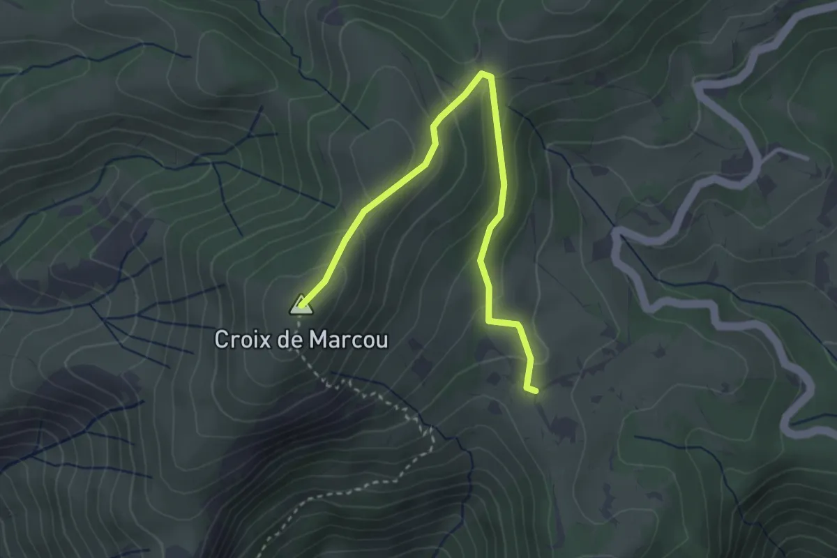
Easy · Trail
Le Marcou
1.8 km · ↑ 187 m · 46 min · 15 km away
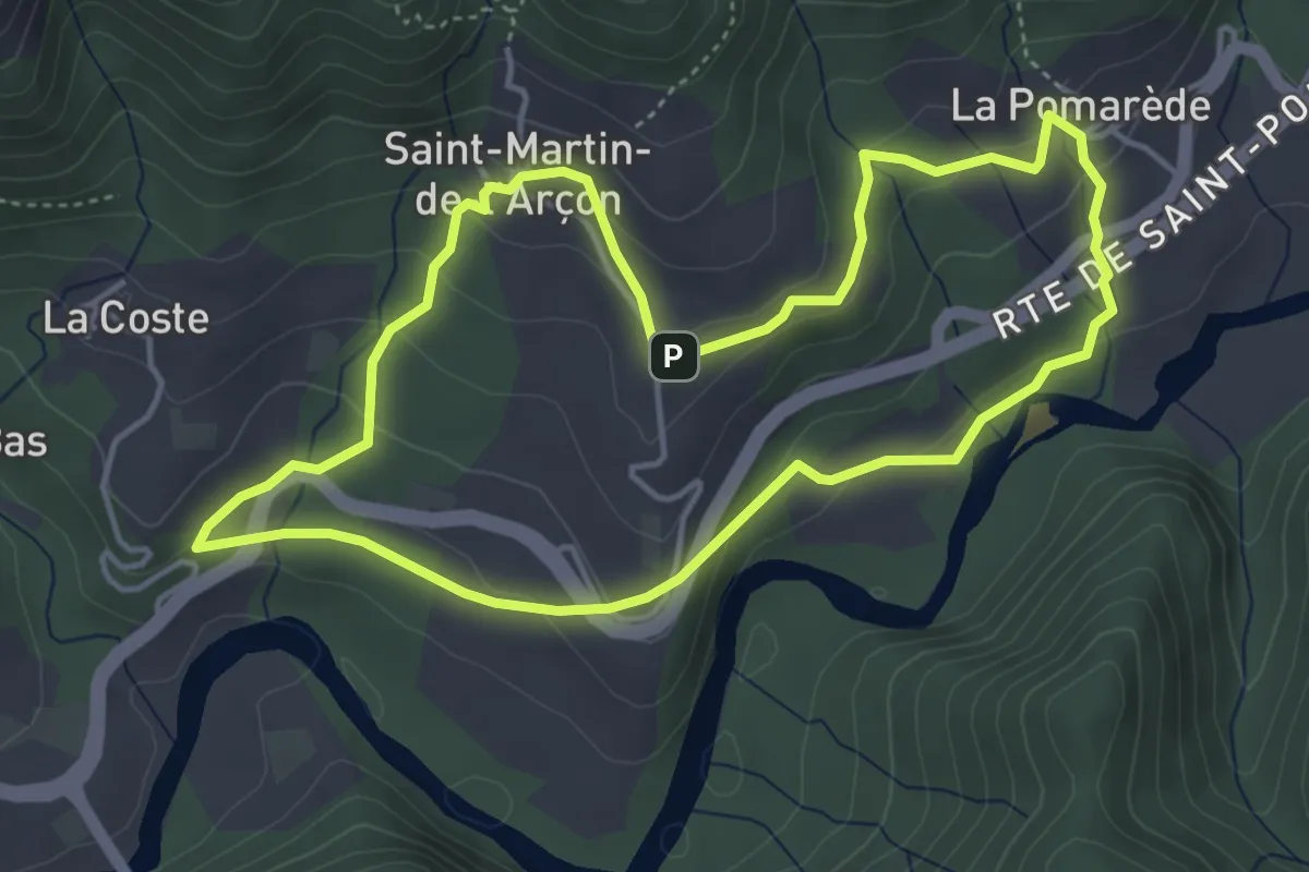
Easy · Trail
Les Calades
4.6 km · ↑ 190 m · 1 h 33 min · 15 km away
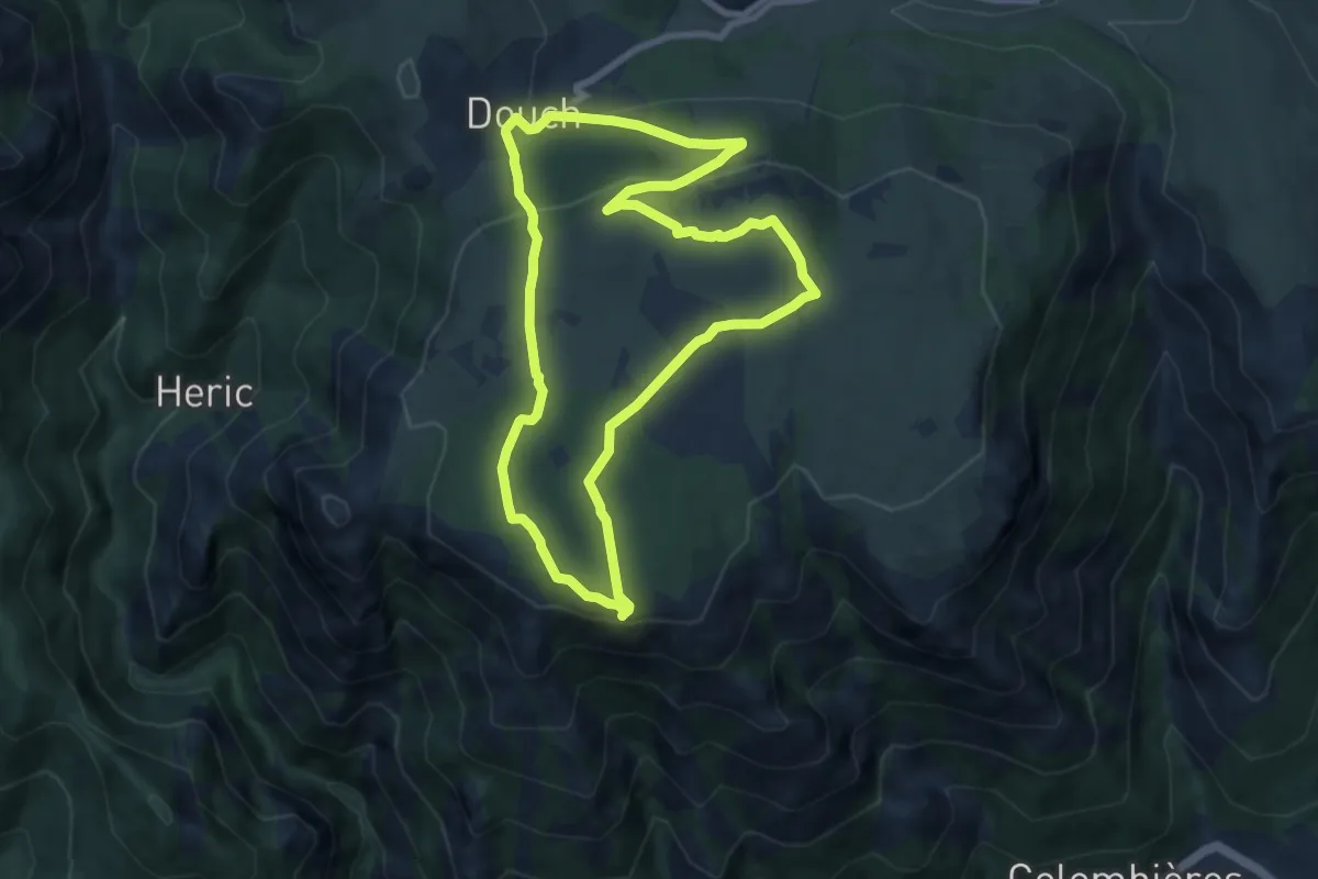
Medium · Summit
Le Sommet du Caroux
7.9 km · ↑ 270 m · 2 h 35 min · 15 km away
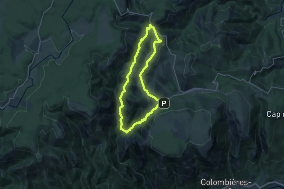
Medium · Trail
Le Vialaïs
12.8 km · ↑ 718 m · 4 h 44 min · 15 km away