Trails near Belley
38 hikes starting within 15 km, nearest first.
Nearest first
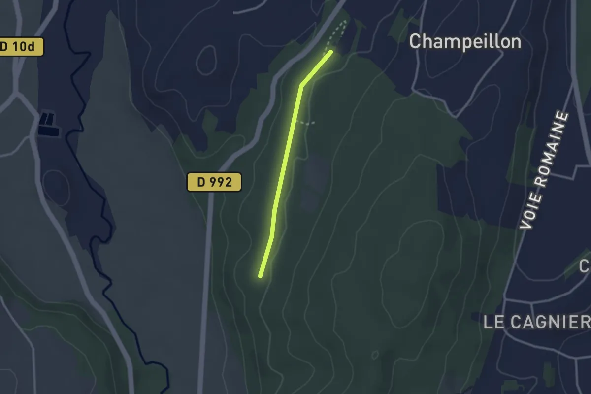
Easy · Trail
Parcours ludo-sportif
1.0 km · ↑ 4 m · 16 min · 3 km away
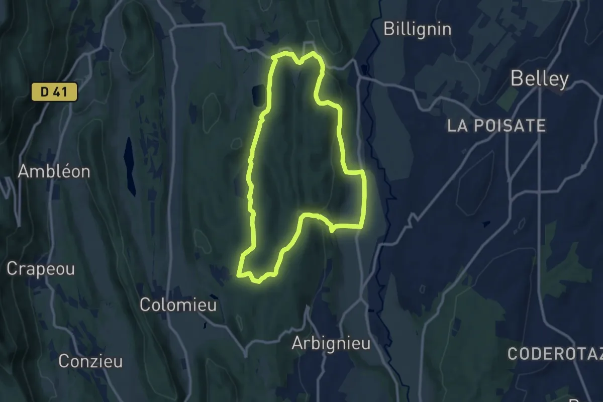
Medium · Trail
Le lac d'Armaille
9.2 km · ↑ 238 m · 2 h 49 min · 3 km away
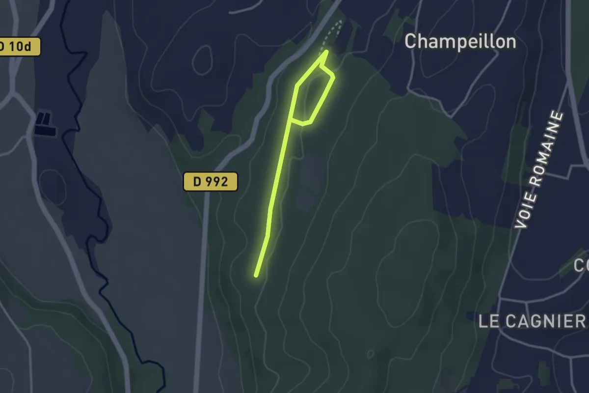
Easy · Trail
Poilu
3.0 km · ↑ 45 m · 48 min · 3 km away
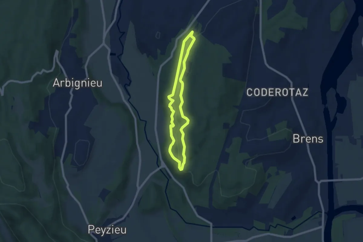
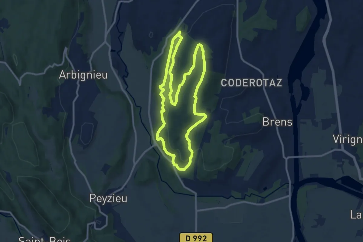
Easy · Trail
Renard
4.8 km · ↑ 116 m · 1 h 27 min · 4 km away
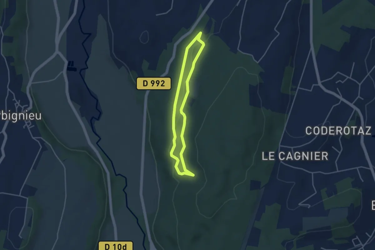
Medium · Trail
Chevreuil
8.7 km · ↑ 258 m · 2 h 44 min · 4 km away
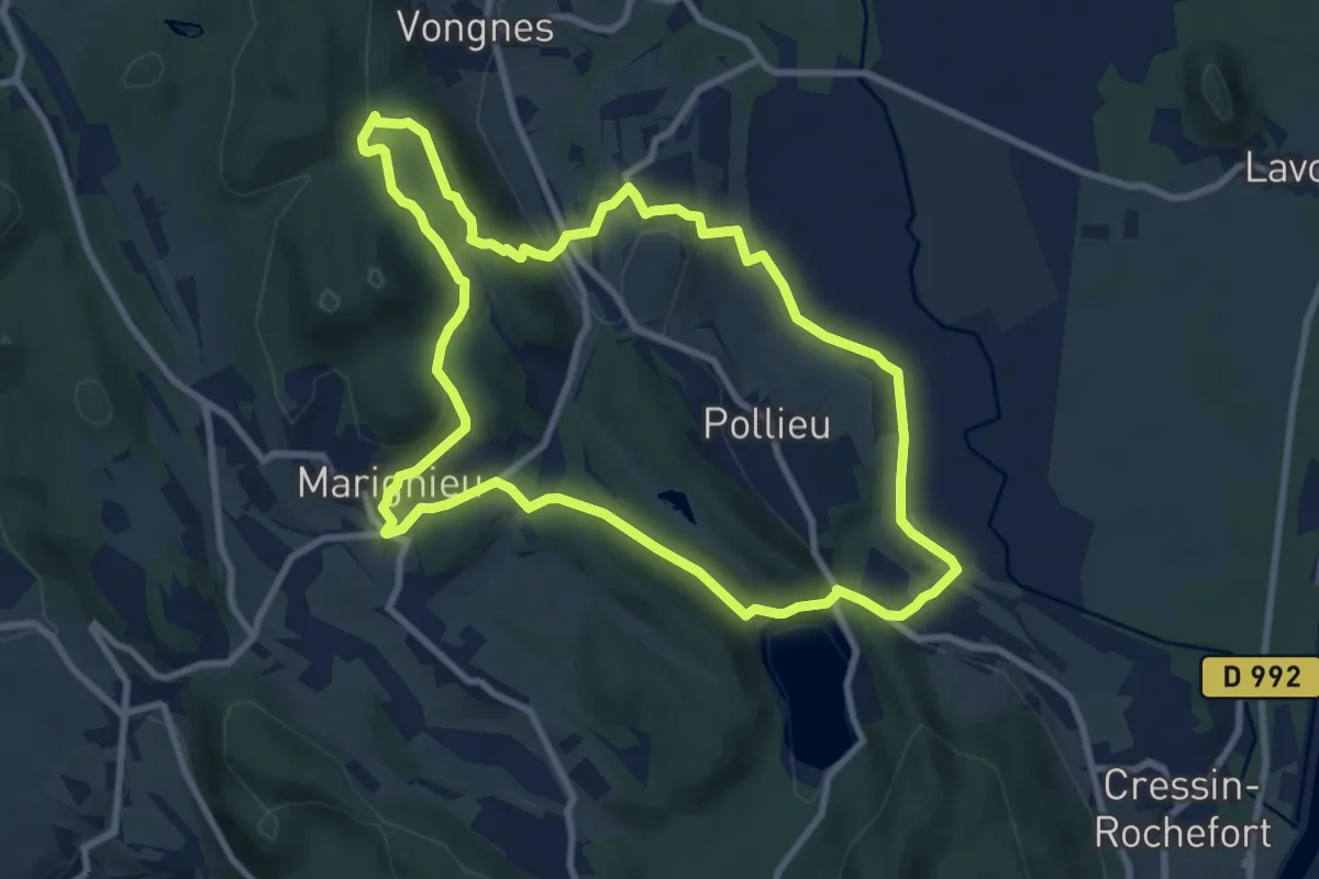
Easy · Trail
Écureuil
3.1 km · ↑ 55 m · 53 min · 4 km away
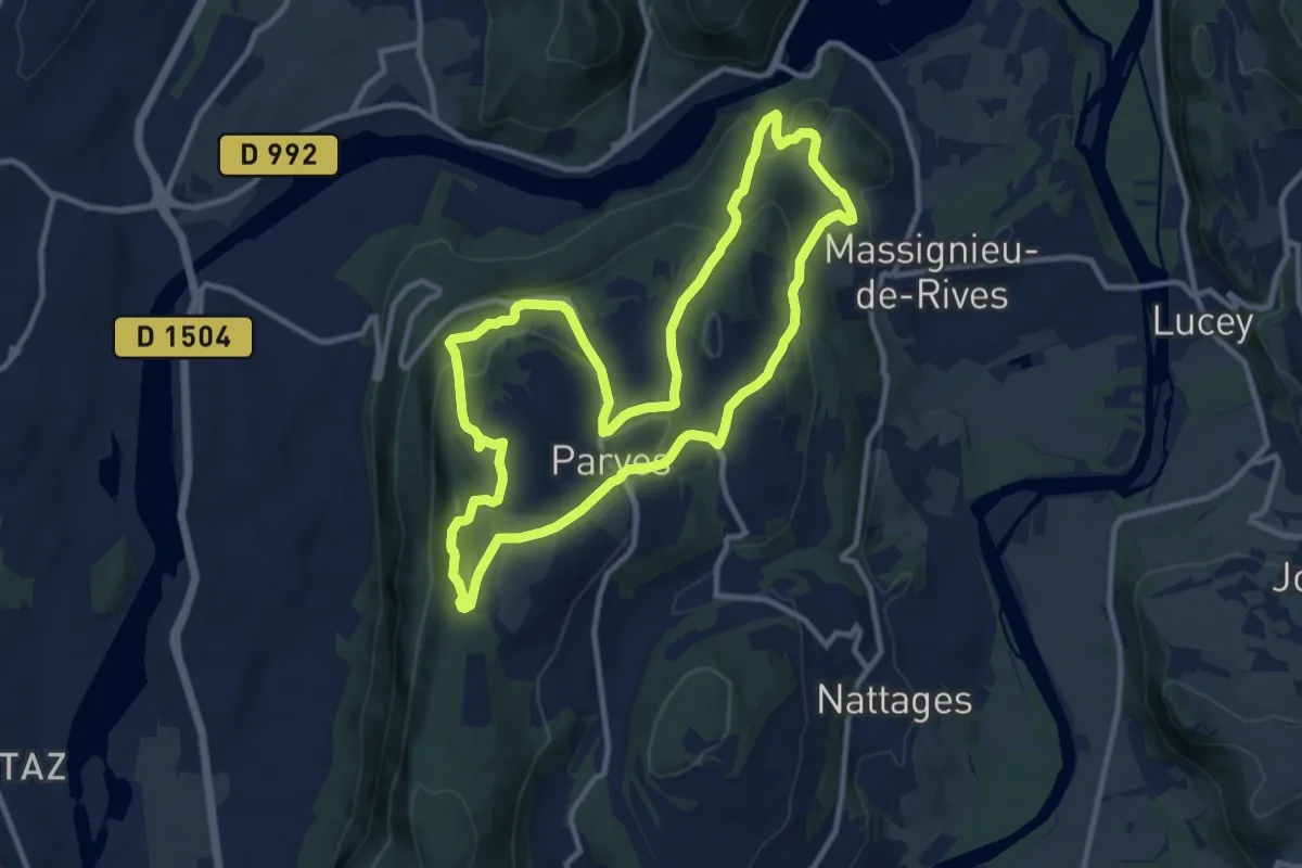
Medium · Trail
Lac et vignobles
9.5 km · ↑ 257 m · 2 h 56 min · 5 km away
Medium · Trail
Le circuit du Sorbier
11.2 km · ↑ 438 m · 3 h 44 min · 5 km away
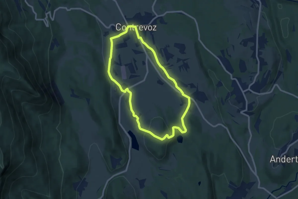
Easy · Trail
Circuit bleu 7 km de Contrevoz
6.5 km · ↑ 94 m · 1 h 50 min · 5 km away
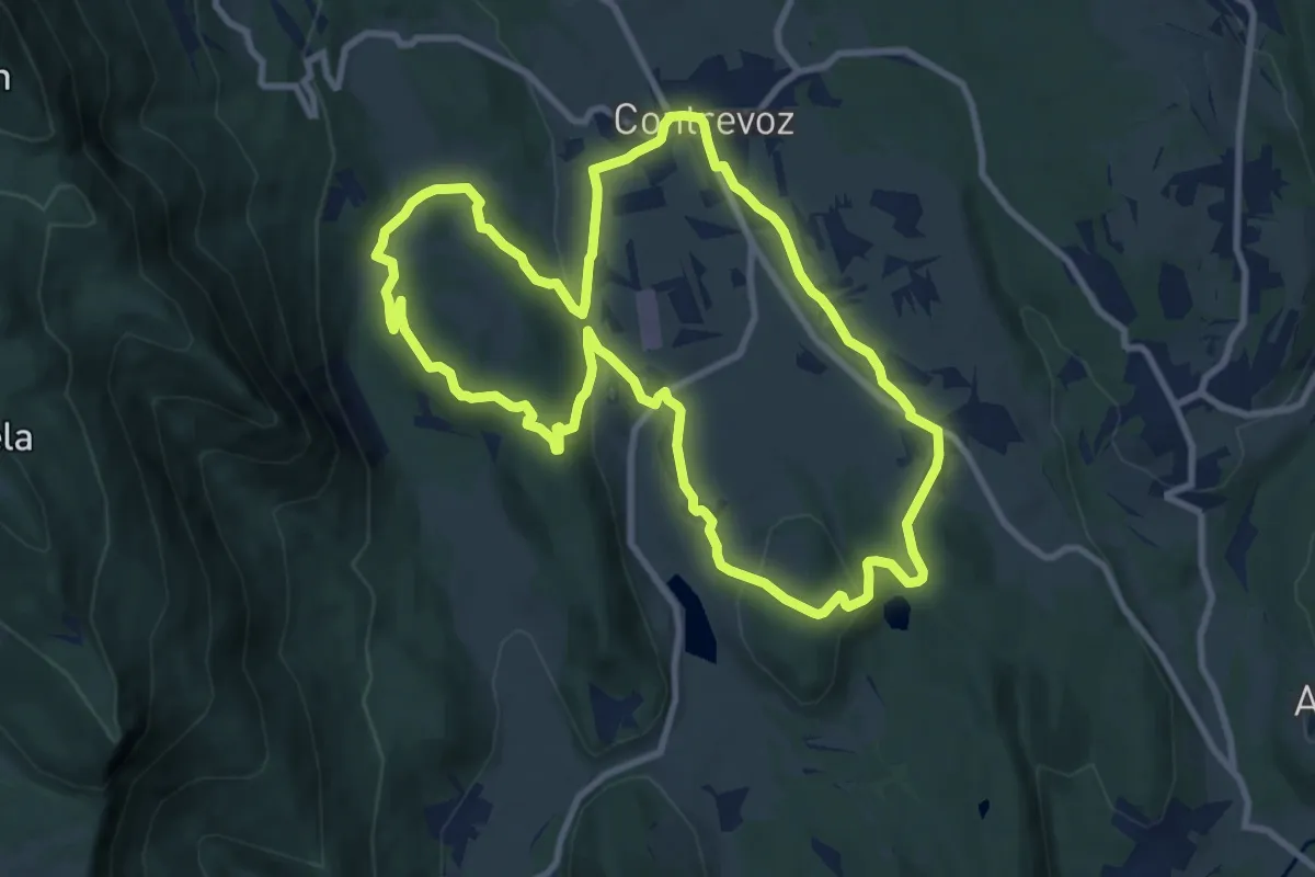
Medium · Trail
Circuit rouge 11 km de Contrevoz
10.2 km · ↑ 203 m · 3 h · 5 km away
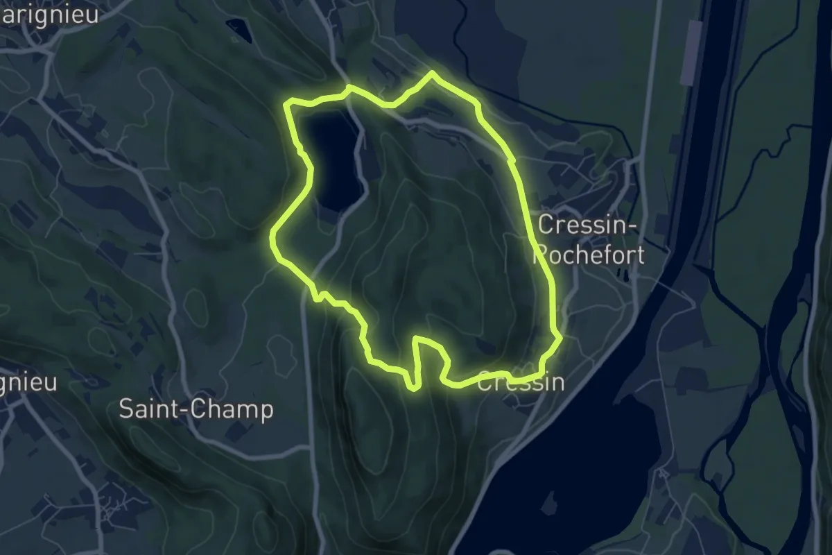
Easy · Trail
Le Lac de Barterand
7.1 km · ↑ 272 m · 2 h 23 min · 6 km away
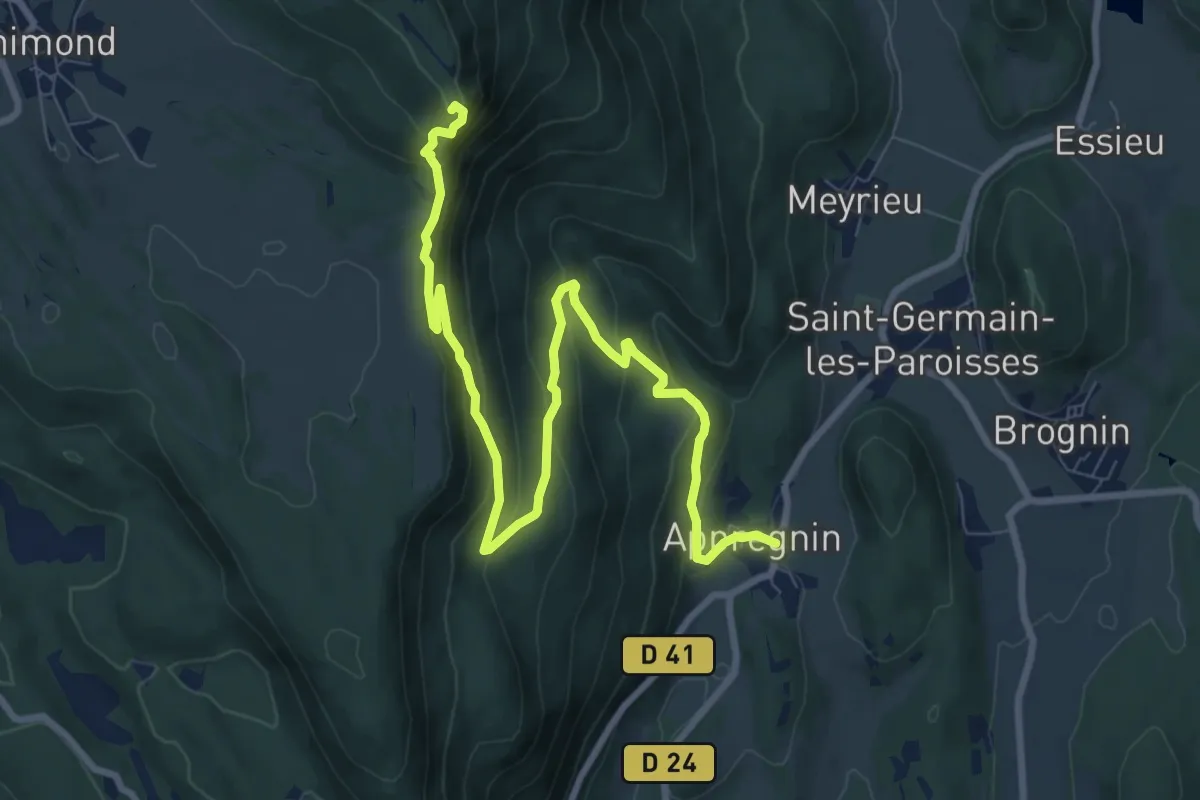
Medium · Trail
La croix d'Innimond depuis Appregnin
11.0 km · ↑ 619 m · 3 h 56 min · 6 km away
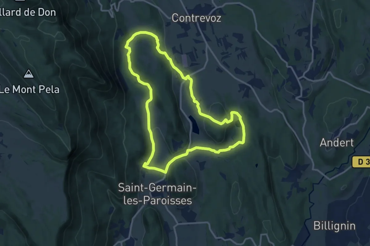
Medium · Trail
La chapelle Saint-Anne
10.1 km · ↑ 219 m · 2 h 59 min · 6 km away
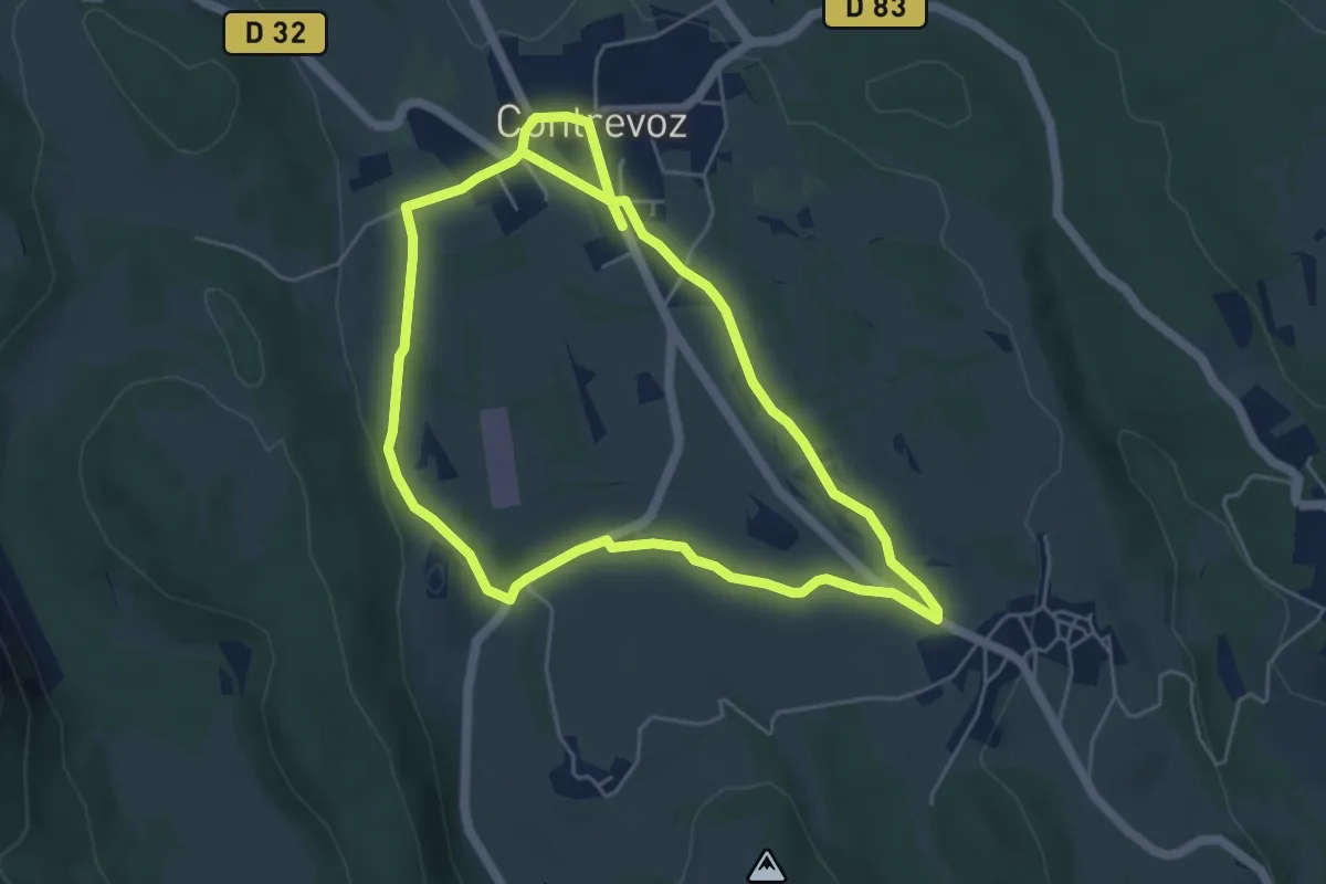
Easy · Trail
Circuit vert 5 km de Contrevoz
5.1 km · ↑ 46 m · 1 h 23 min · 7 km away
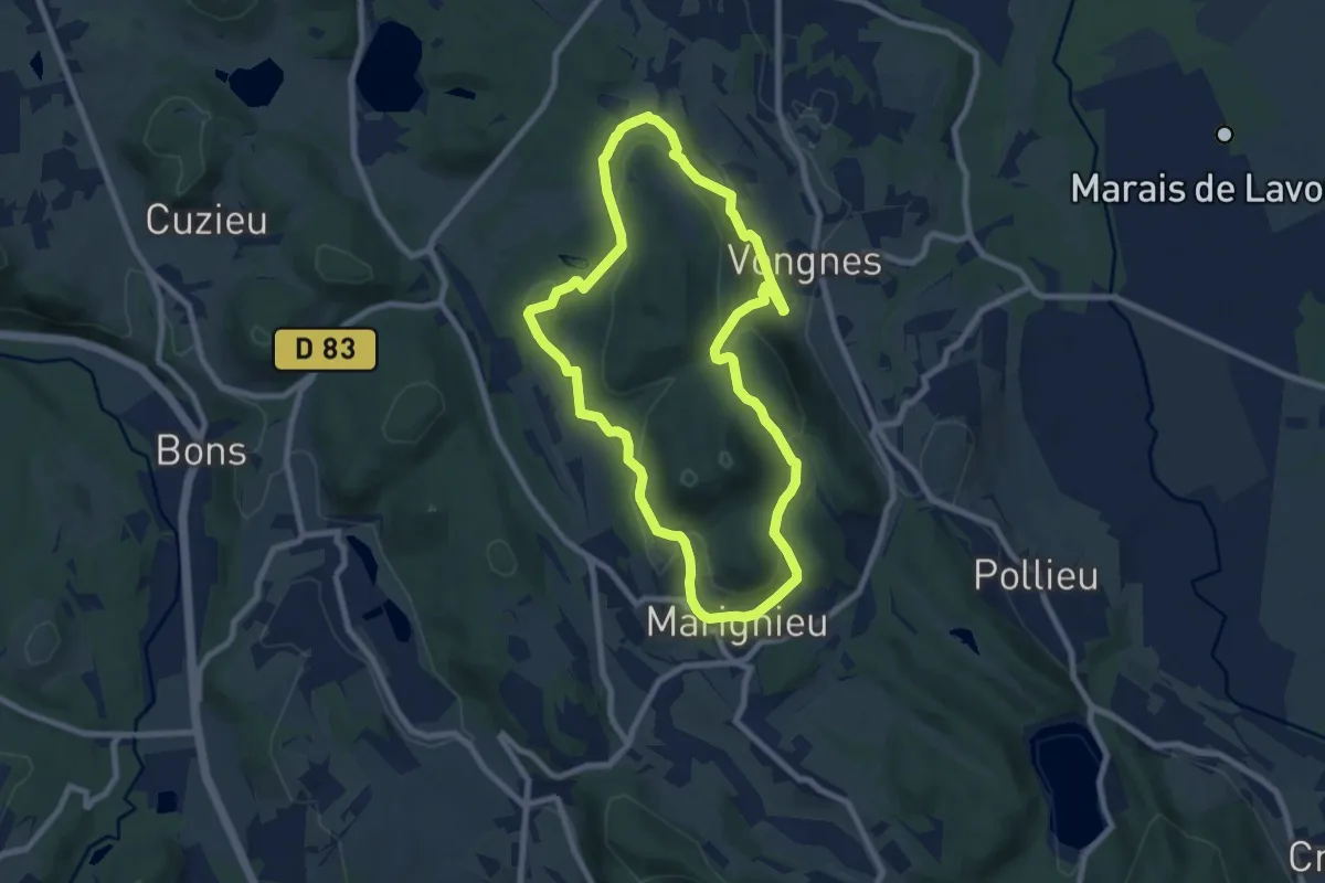
Medium · Trail
Circuit des caves bugistes
8.2 km · ↑ 263 m · 2 h 37 min · 7 km away
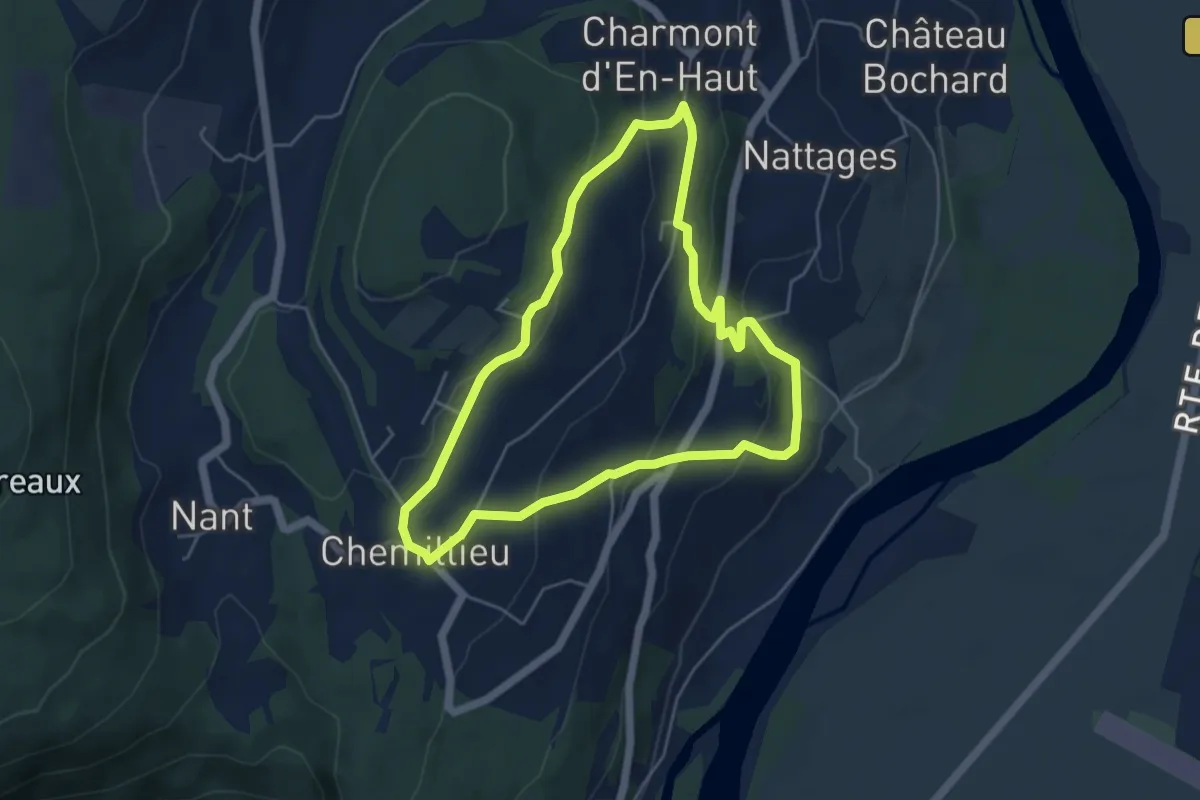
Easy · Trail
Tour de Nattages
4.8 km · ↑ 205 m · 1 h 39 min · 7 km away
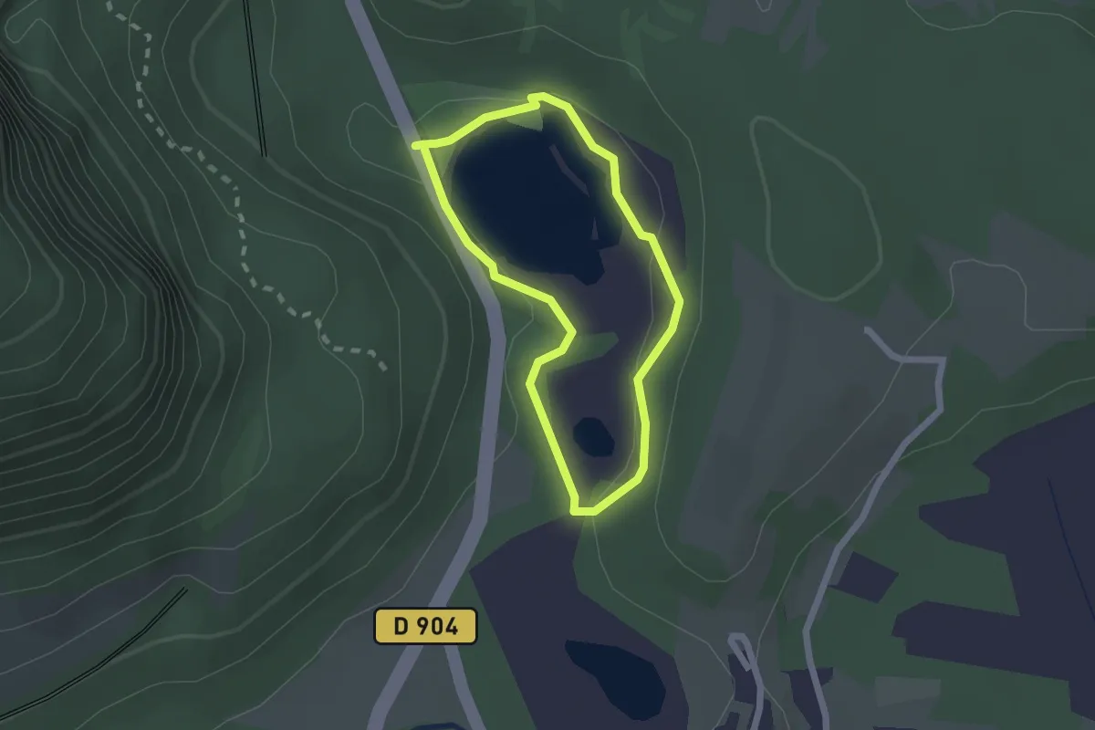
Easy · Trail
Sentier d'interprétation du Lac de Virieu
1.7 km · ↑ 19 m · 27 min · 8 km away
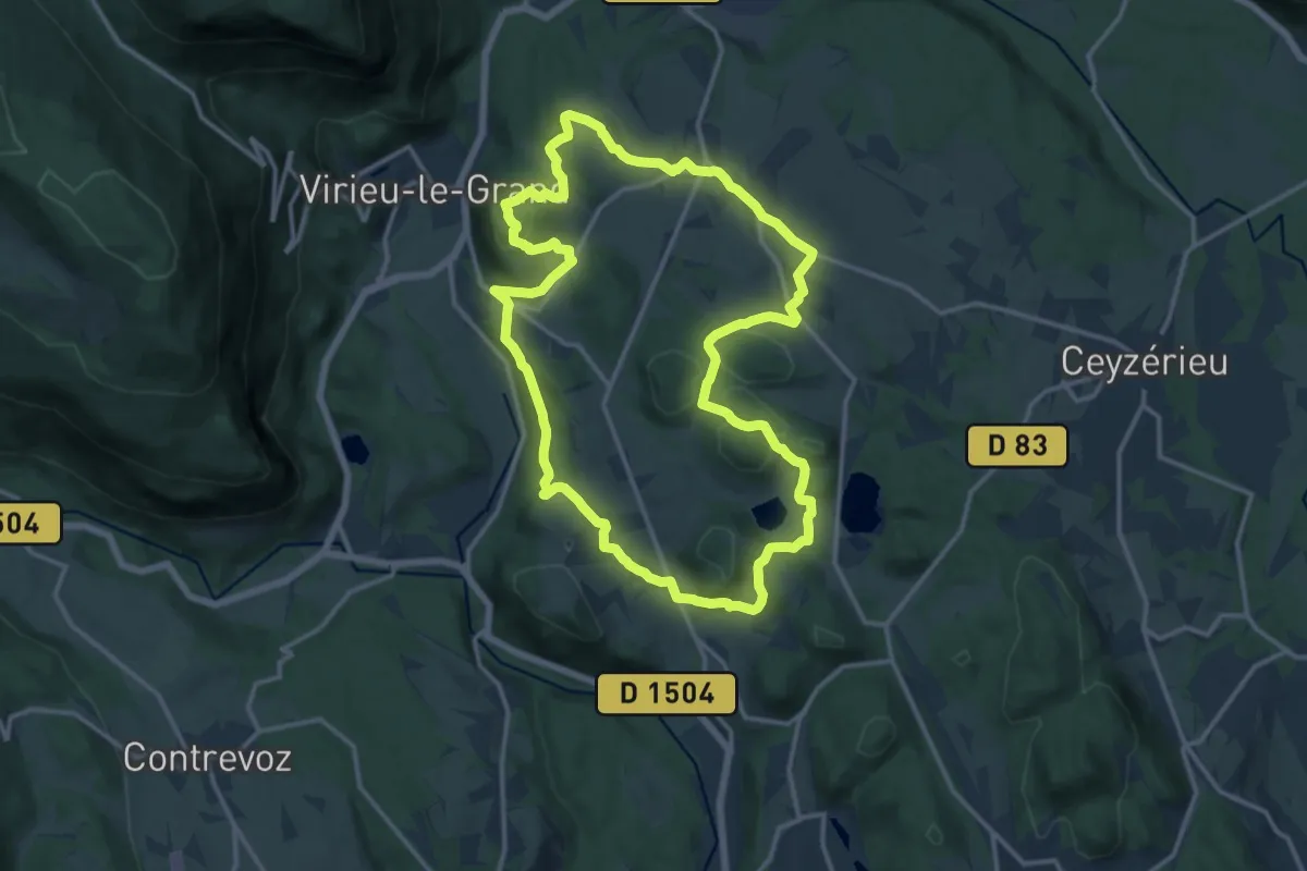
Medium · Trail
La randonnée de la Pierre Grise
14.4 km · ↑ 349 m · 4 h 21 min · 9 km away
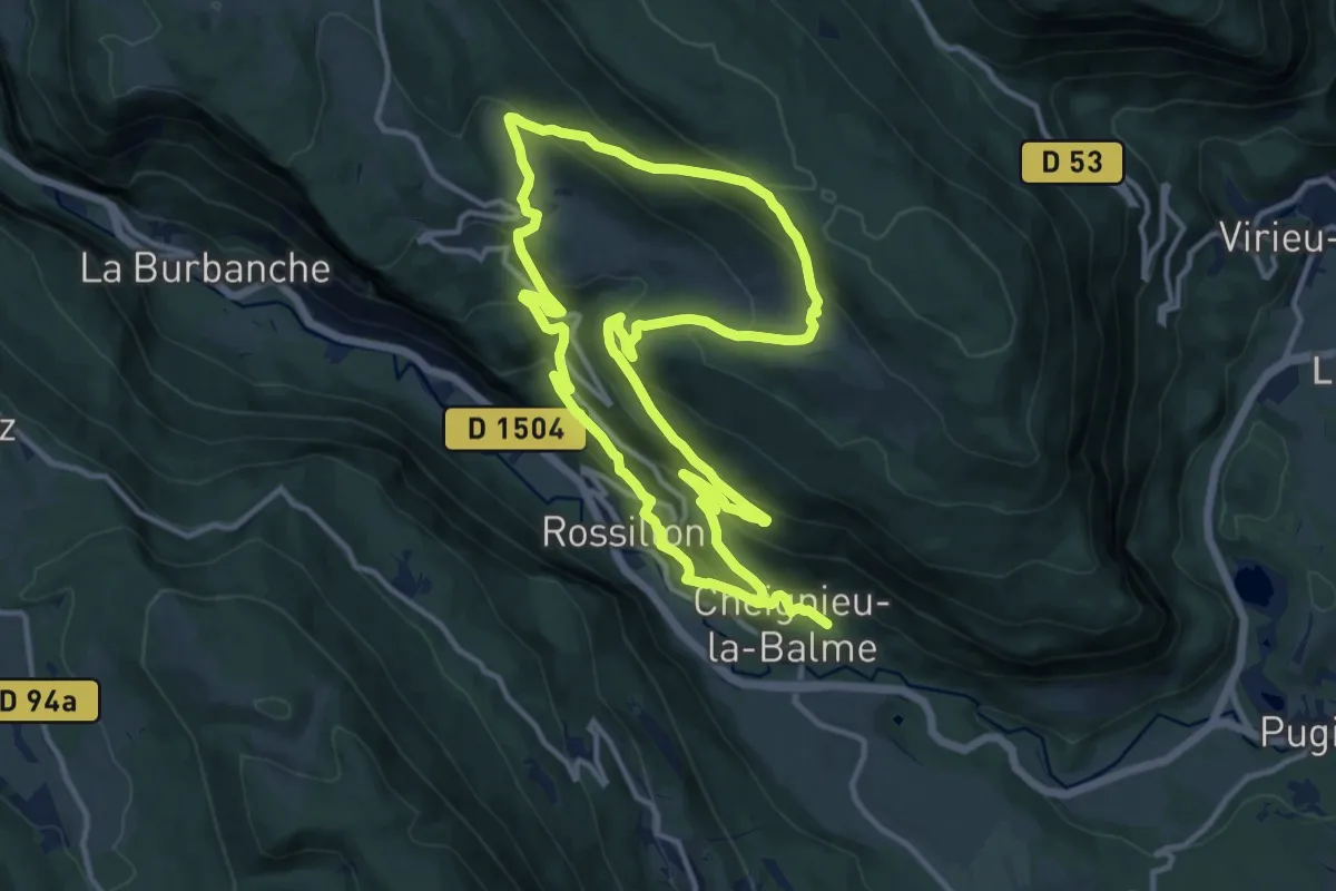
Medium · Trail
RC - La randonnée du Chevrier
12.9 km · ↑ 735 m · 4 h 48 min · 9 km away
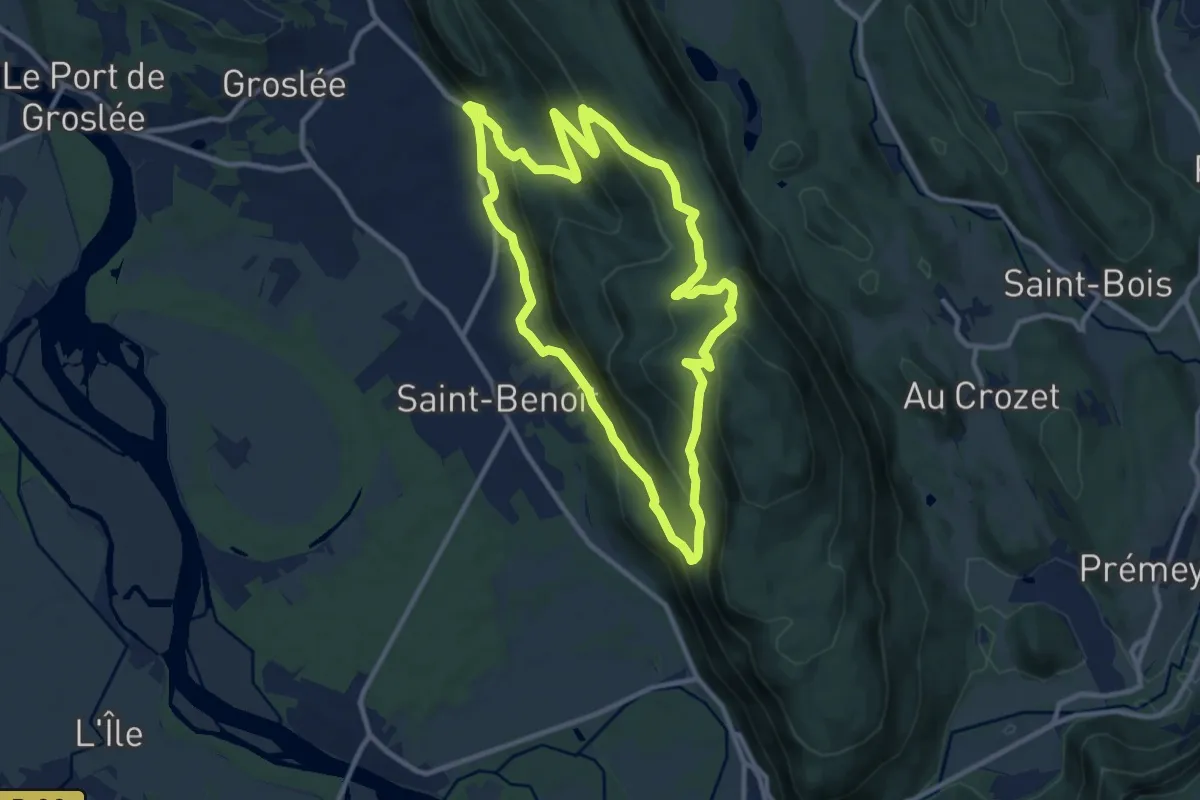
Medium · Trail
Montagne Saint Benoit
10.8 km · ↑ 492 m · 3 h 45 min · 10 km away
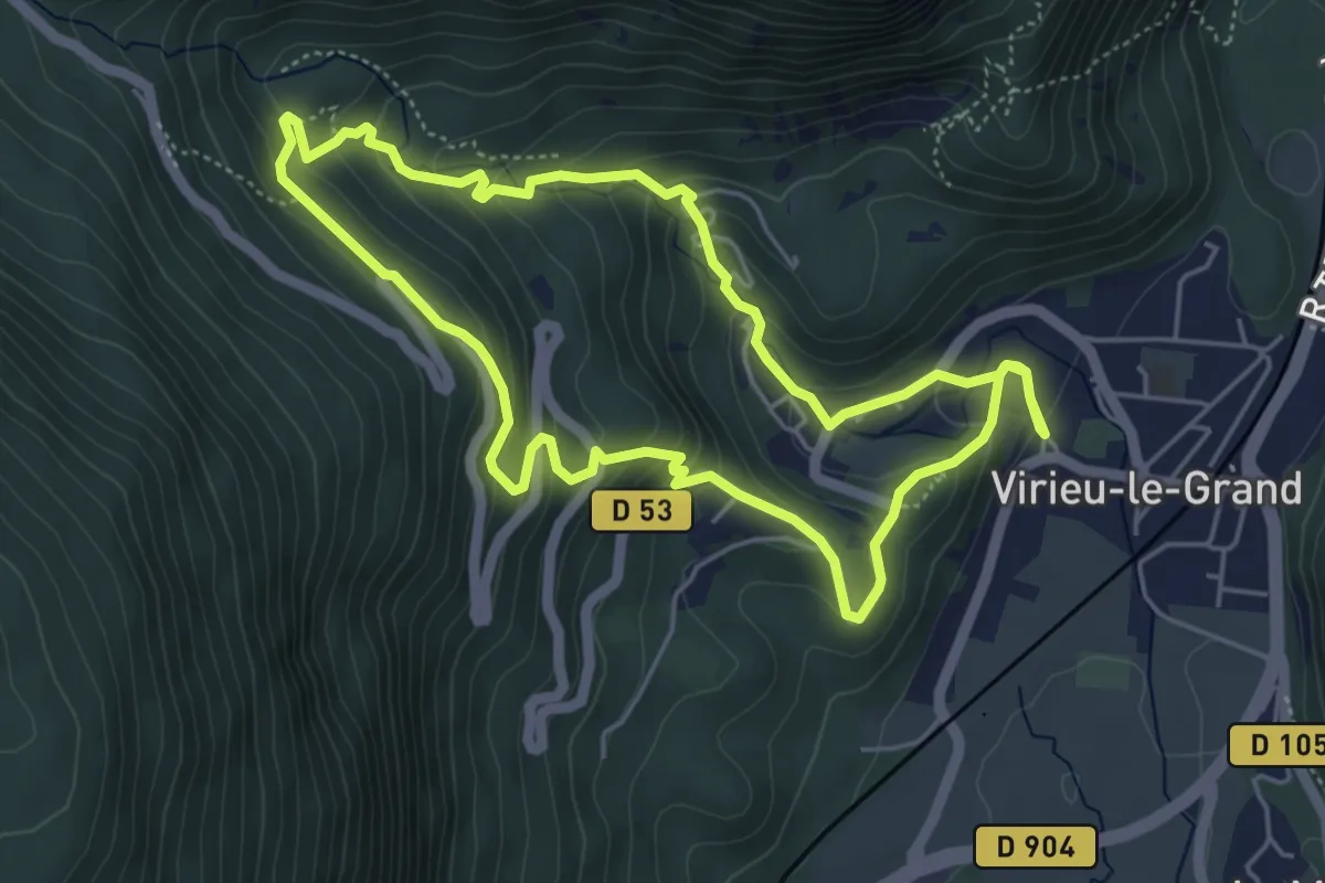
Easy · Trail
Cascade de Clairefontaine
5.1 km · ↑ 289 m · 1 h 54 min · 11 km away
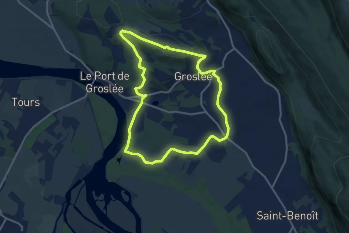
Easy · Trail
TG - Le tour de Groslée
7.4 km · ↑ 113 m · 2 h 5 min · 11 km away
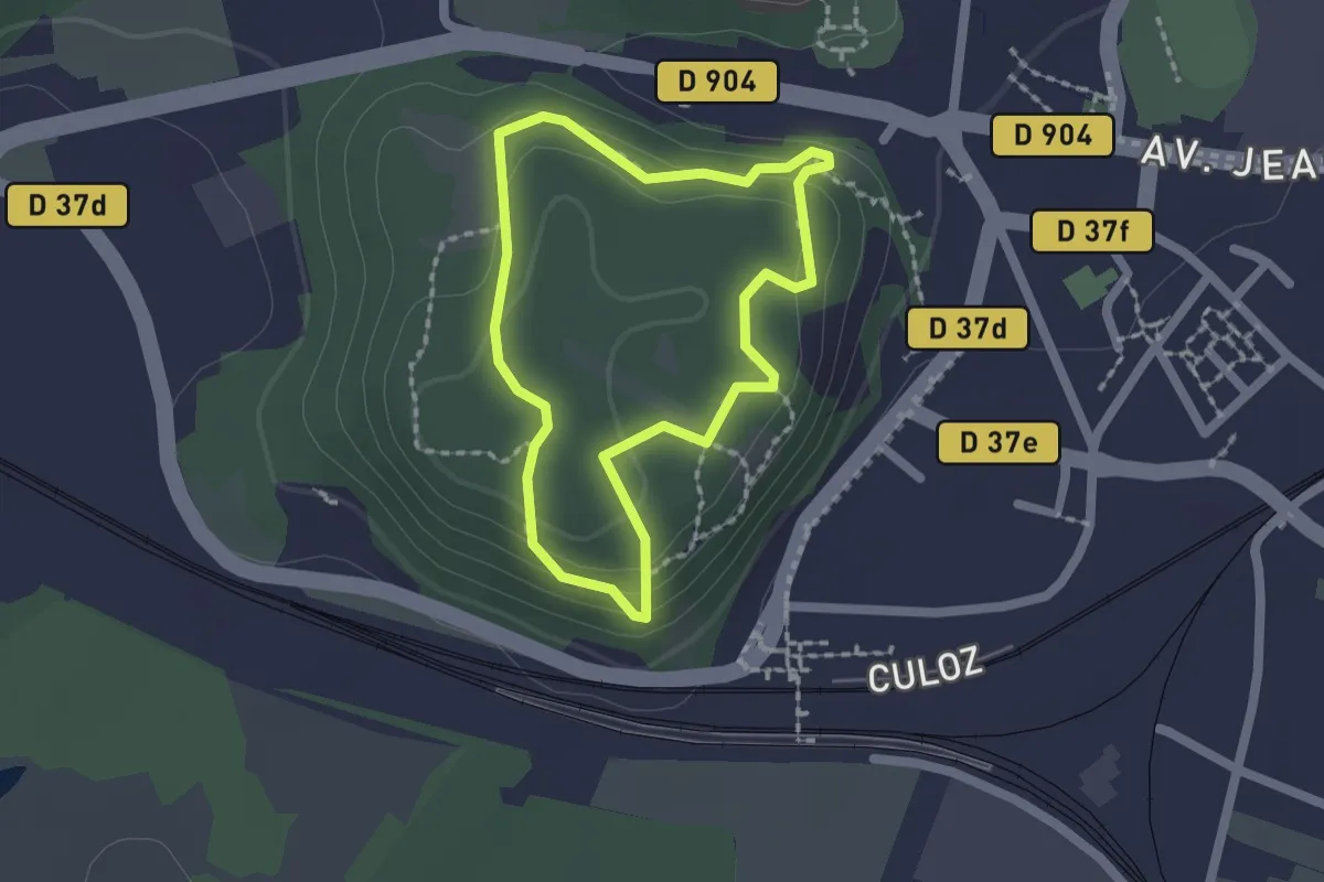
Easy · Trail
Le Jugeant
1.6 km · ↑ 76 m · 34 min · 12 km away
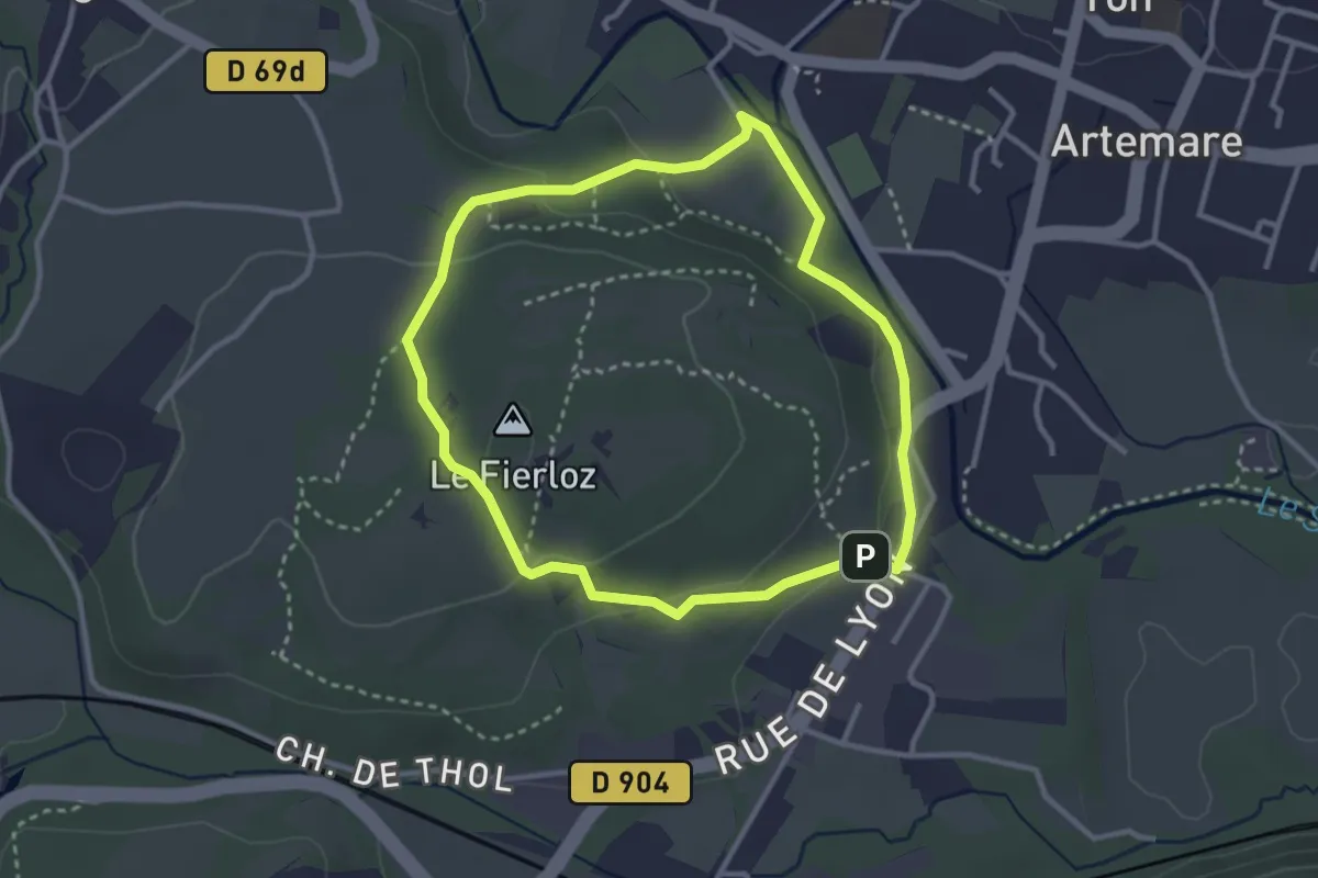
Easy · Summit
Tour du Fierloz
3.0 km · ↑ 72 m · 54 min · 12 km away
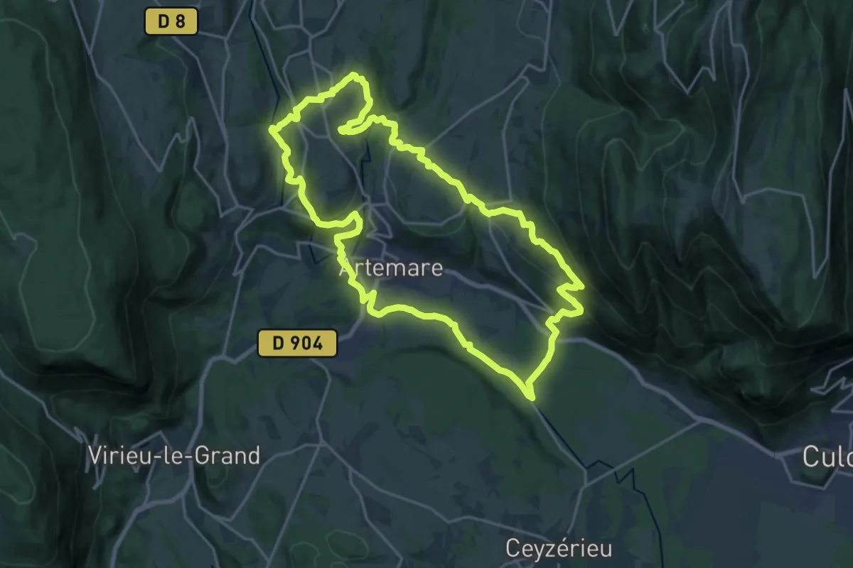
Demanding · Trail
Le pied du Grand Colombier
19.1 km · ↑ 535 m · 5 h 57 min · 12 km away
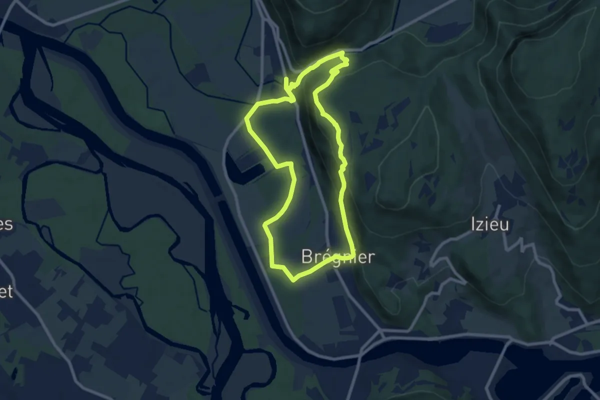
Medium · Trail
SE - Le Sentier de l'eau
7.2 km · ↑ 249 m · 2 h 21 min · 12 km away
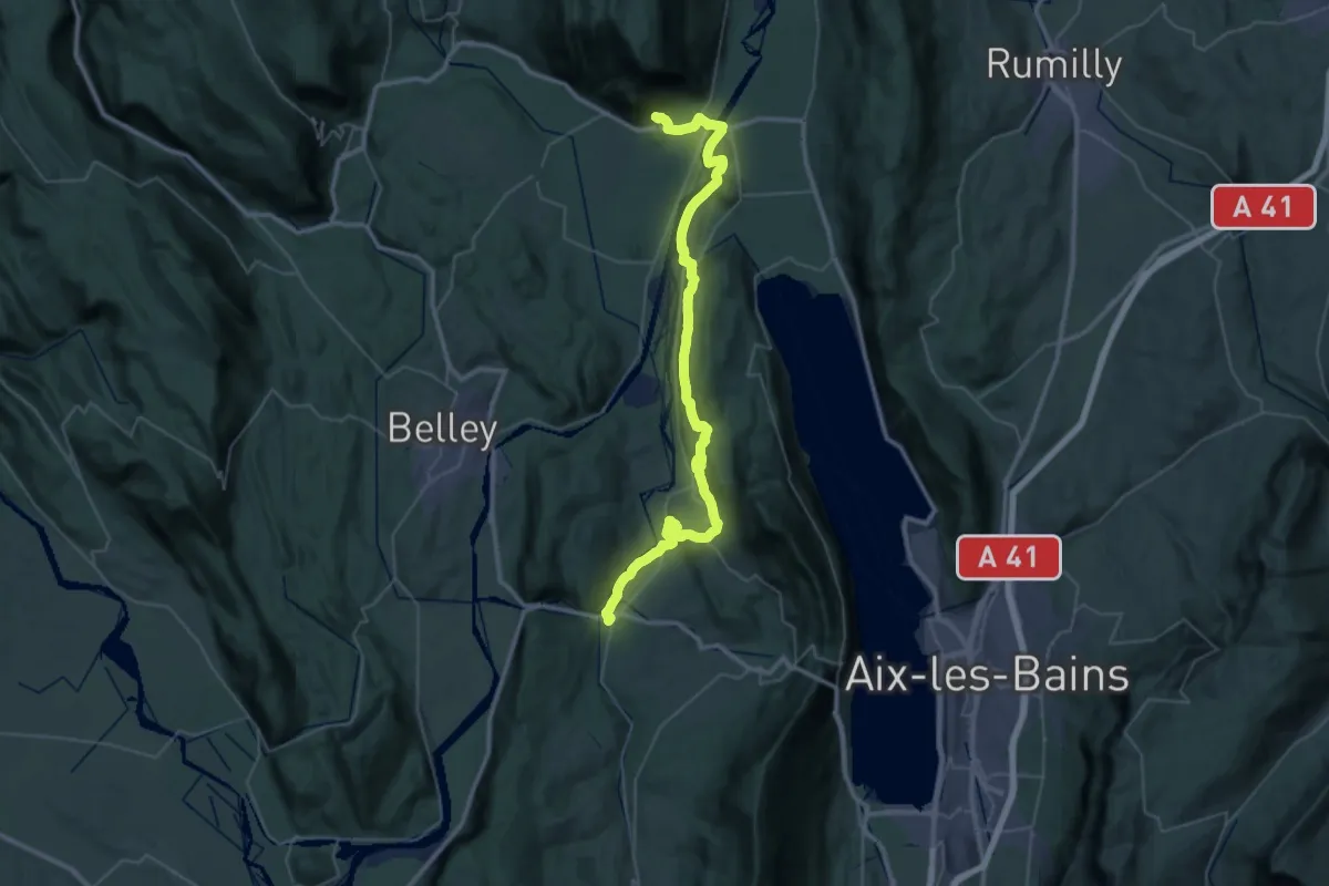
Demanding · Trail
Culoz – Yenne
25.8 km · ↑ 492 m · 7 h 33 min · 12 km away
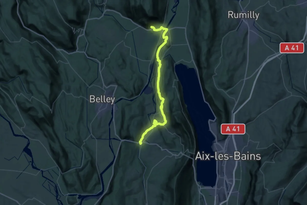
Demanding · Trail
Culoz – Yenne
25.8 km · ↑ 492 m · 7 h 33 min · 12 km away
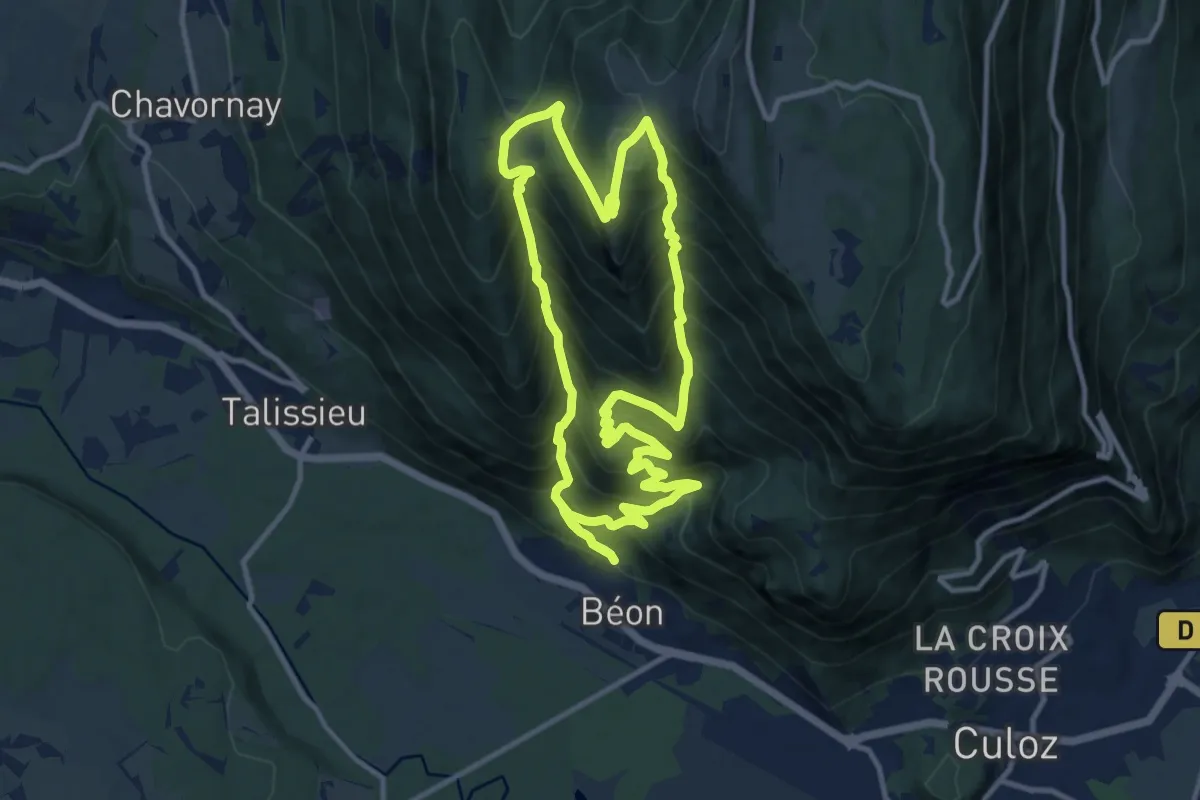
Expert · Trail
Chanduraz depuis Béon
11.4 km · ↑ 1080 m · 5 h 11 min · 13 km away
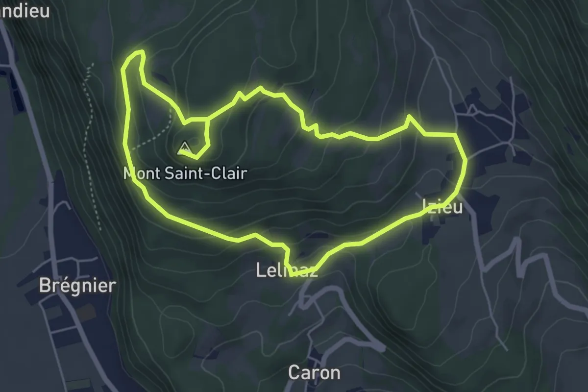
Medium · Summit
La croix Saint Clair
4.8 km · ↑ 190 m · 1 h 37 min · 13 km away
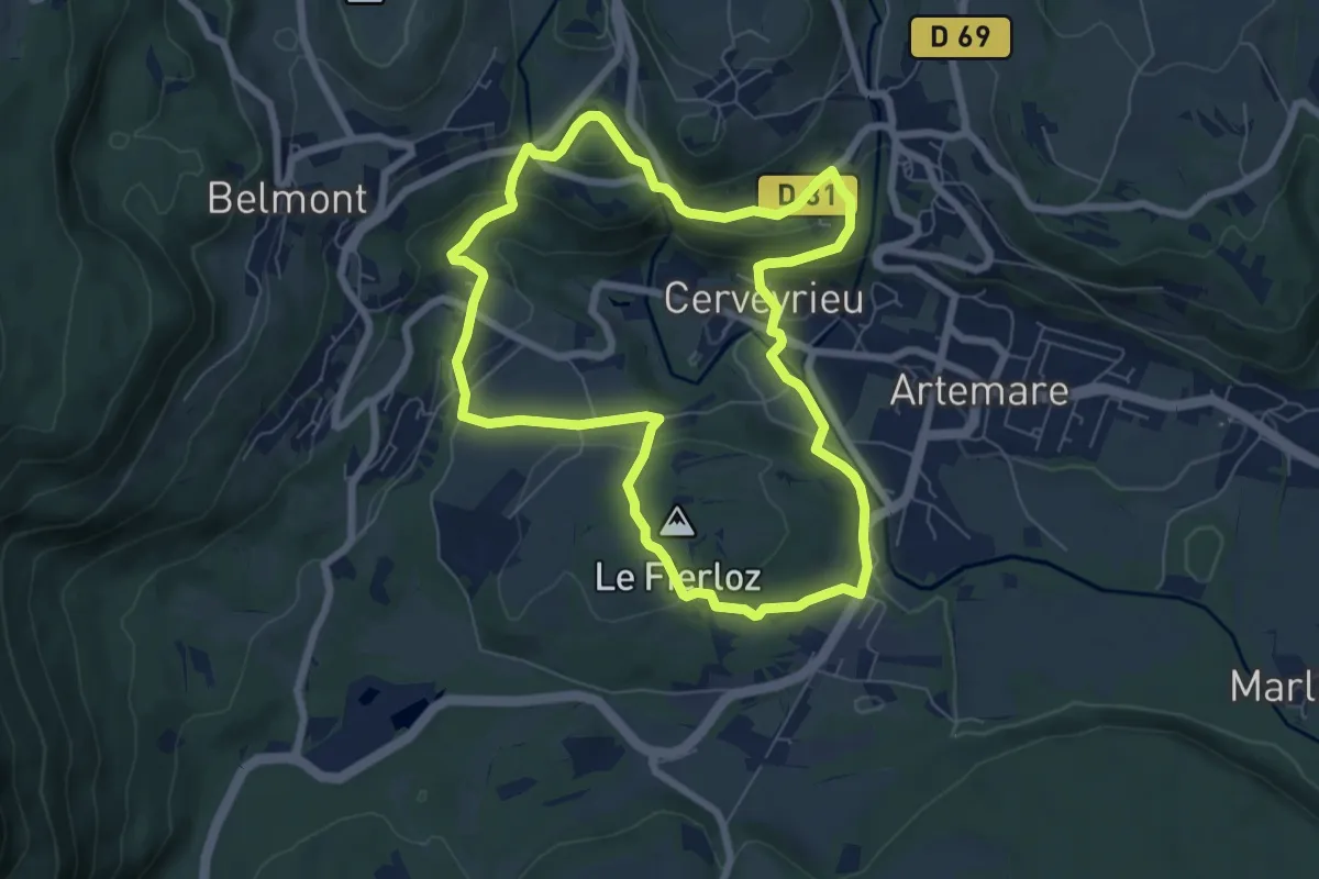
Medium · Summit
Le Golet au Loup
6.9 km · ↑ 173 m · 2 h 6 min · 13 km away
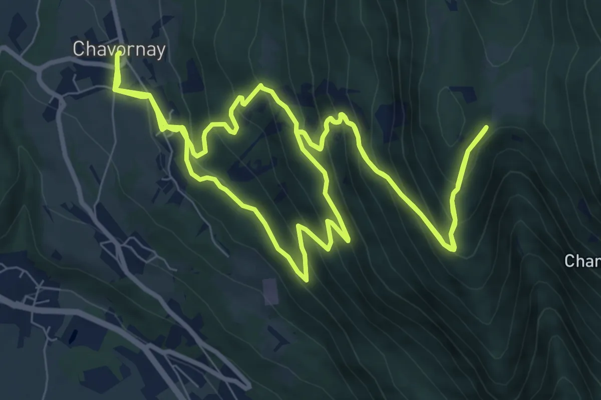
Demanding · Trail
Chanduraz depuis Chavornay
9.9 km · ↑ 801 m · 4 h 11 min · 14 km away
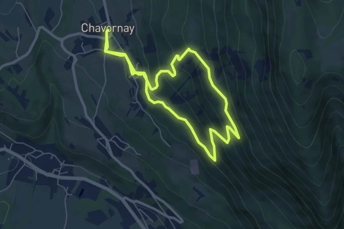
Medium · Trail
Sentier de Parnaud
5.7 km · ↑ 352 m · 2 h 10 min · 14 km away
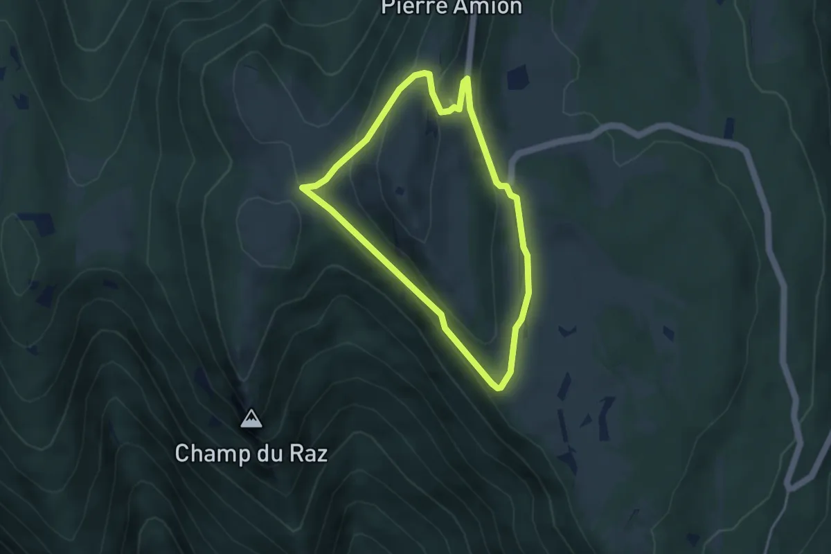
Medium · Trail
le Sentier des Alpages
3.3 km · ↑ 130 m · 1 h 7 min · 14 km away
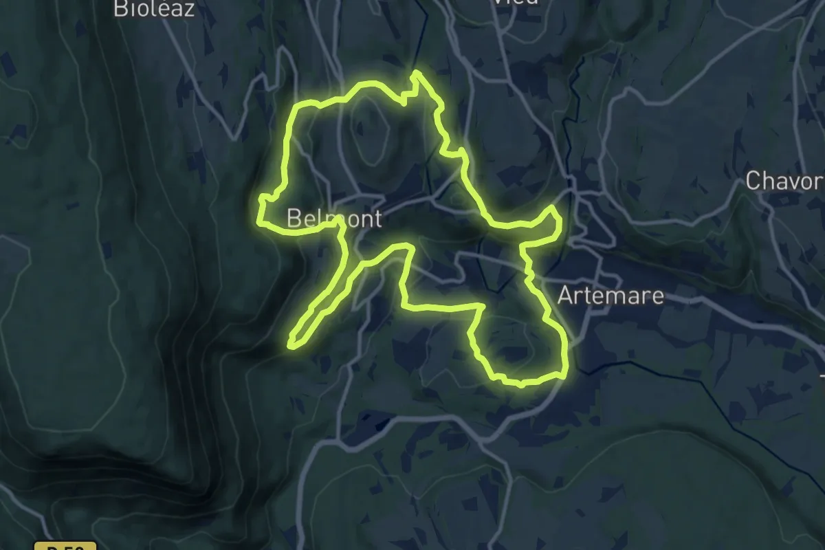
Medium · Summit
Les Gorges de Thurignin
13.8 km · ↑ 436 m · 4 h 24 min · 15 km away
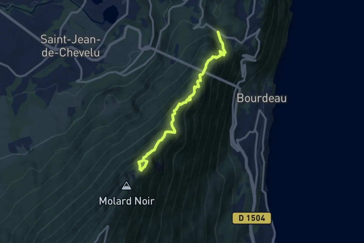
Demanding · Summit
La Dent du Chat depuis le Col du Chat
6.9 km · ↑ 740 m · 3 h 14 min · 15 km away
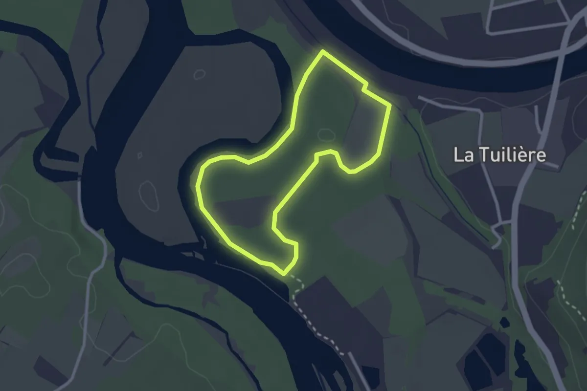
Easy · Trail
Sentier des lônes et îles du Haut-Rhône
2.3 km · ↑ 4 m · 35 min · 15 km away
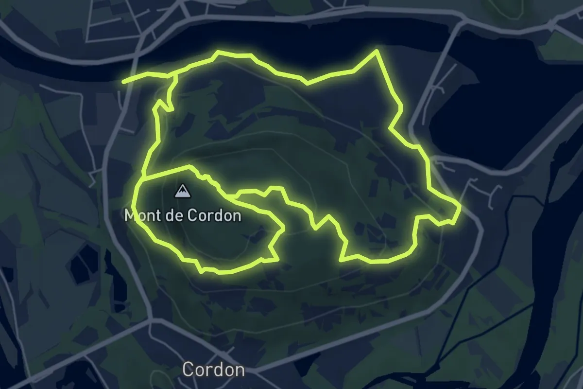
Medium · Summit
Mont de Cordon
7.3 km · ↑ 339 m · 2 h 30 min · 15 km away