Trails near Bergerac
53 hikes starting within 15 km, nearest first.
Nearest first, page 1 of 2
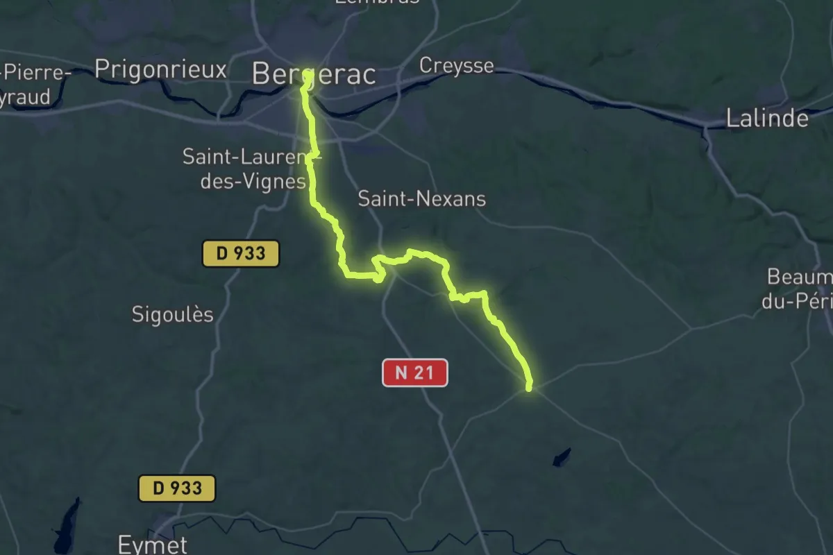
Demanding · Trail
Jonction Bergerac - Issigeac • Chemin d'Amadour
25.7 km · ↑ 335 m · 7 h 8 min · under 1 km away
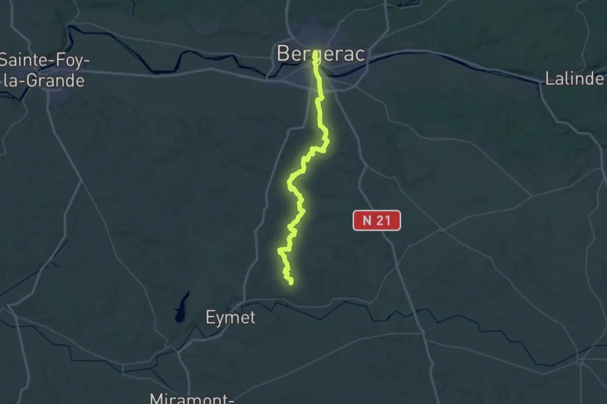
Demanding · Trail
Jonction Eymet - Bergerac • Chemin d'Amadour
25.4 km · ↑ 320 m · 7 h 1 min · under 1 km away
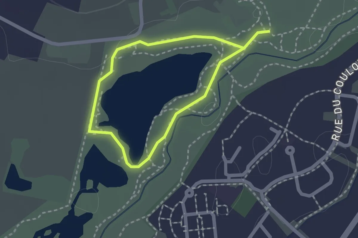
Easy · Trail
Boucle du Lac
1.3 km · ↑ 0 m · 19 min · 2 km away
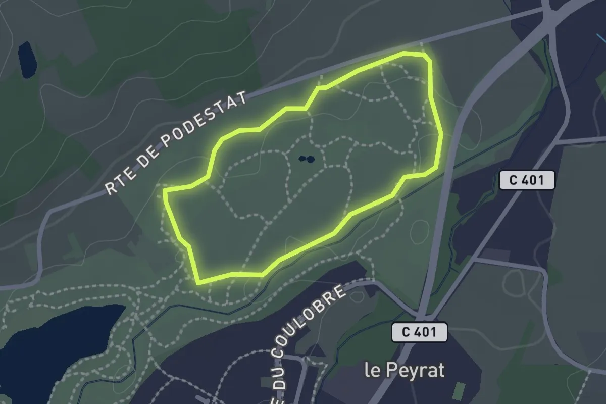
Easy · Trail
Boucle des Mares
1.8 km · ↑ 5 m · 27 min · 2 km away
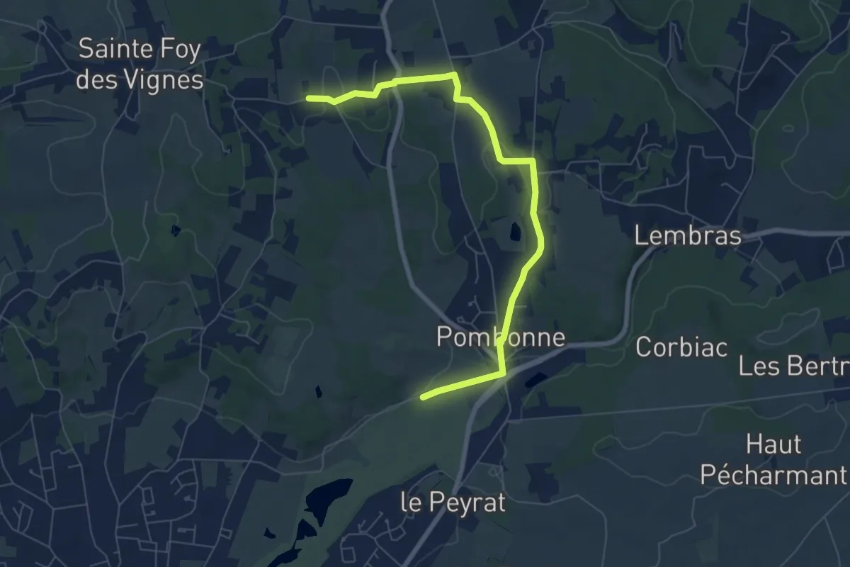
Easy · Trail
Liaison Ste-Foy-des-Vignes - Pombone - Lembras
7.4 km · ↑ 151 m · 2 h 4 min · 3 km away
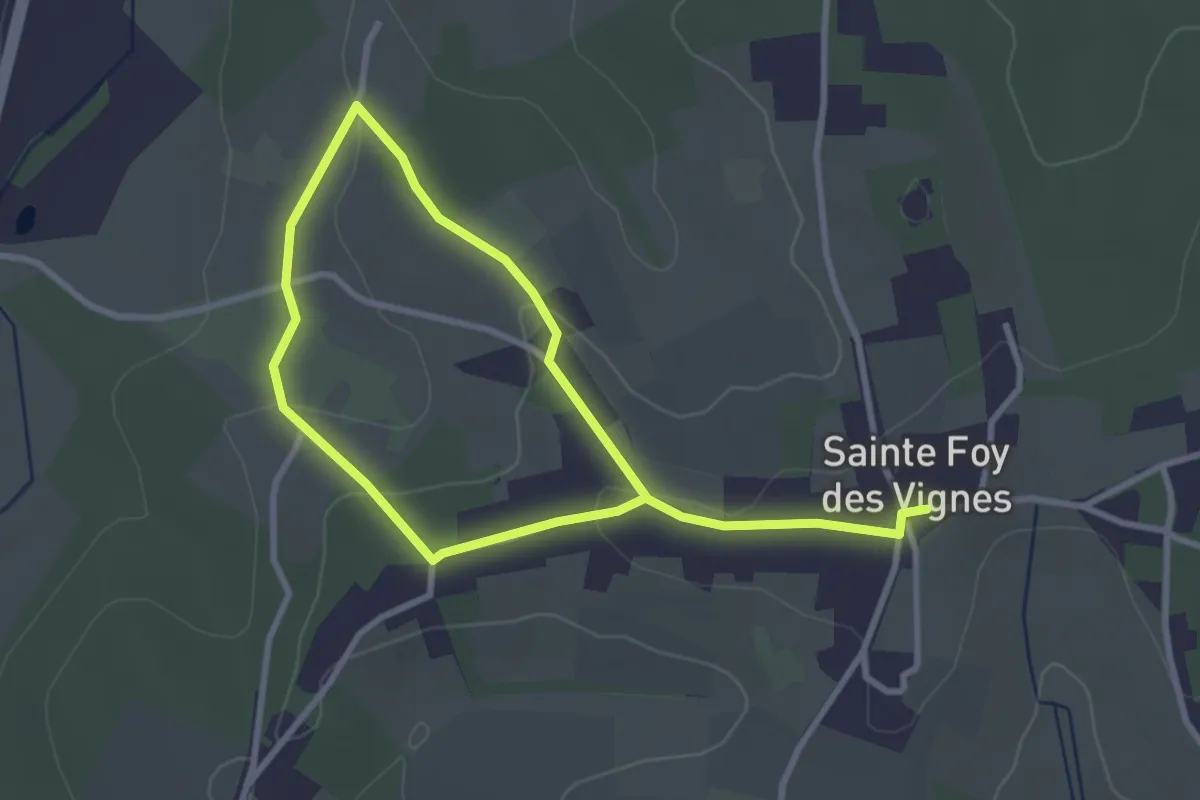
Easy · Trail
Boucle du Béluze
5.0 km · ↑ 100 m · 1 h 24 min · 4 km away
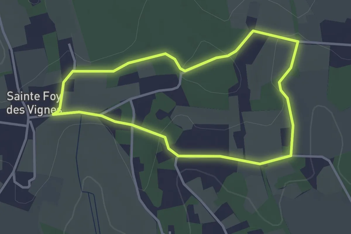
Easy · Trail
Boucle du Brandal
2.7 km · ↑ 28 m · 45 min · 5 km away
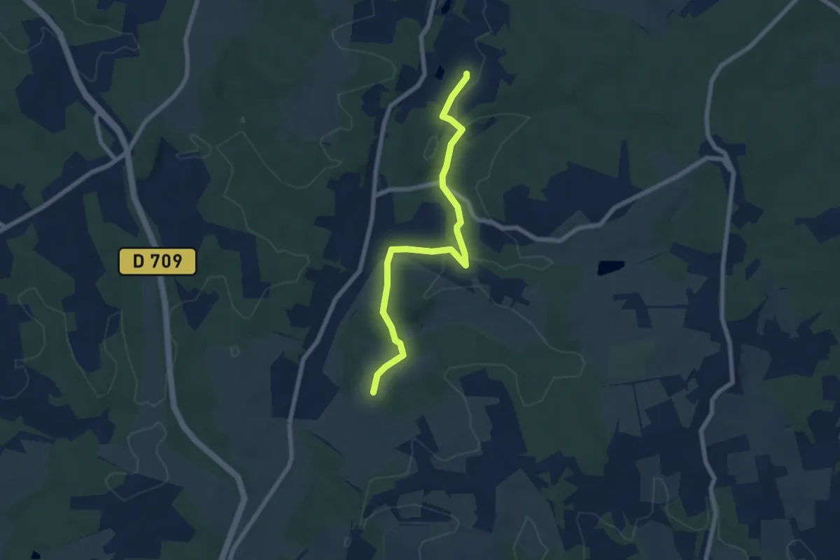
Easy · Trail
Liaison Ste-Foy-des-Vignes - Maurens
6.8 km · ↑ 137 m · 1 h 54 min · 5 km away
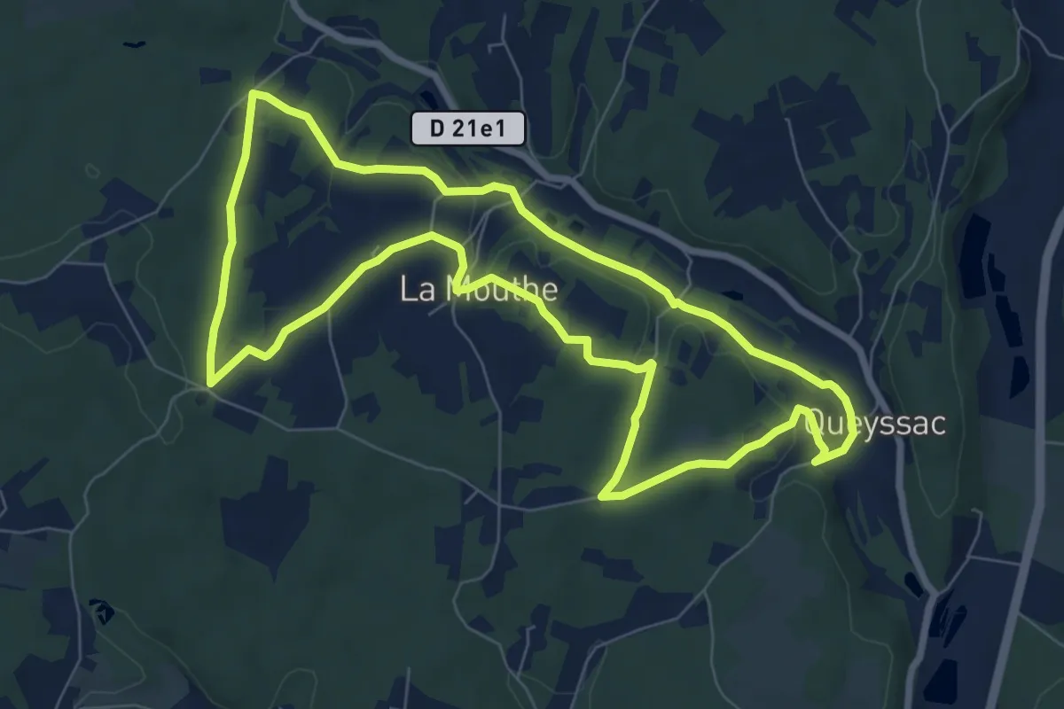
Easy · Trail
Boucle des hameaux
8.0 km · ↑ 147 m · 2 h 19 min · 6 km away
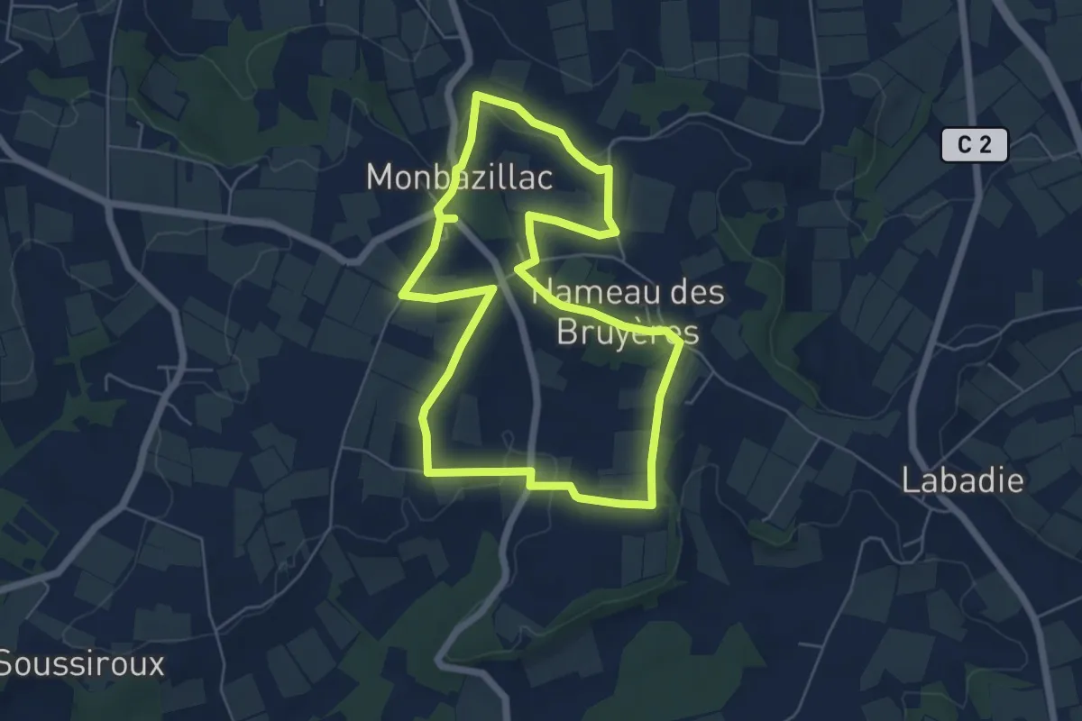
Easy · Trail
Boucle de Monbazillac
5.7 km · ↑ 68 m · 1 h 35 min · 7 km away
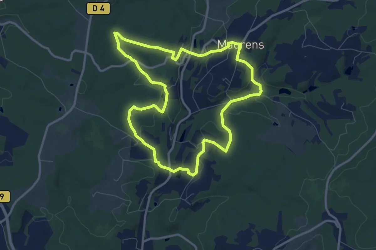
Medium · Trail
Boucle des Hameaux
8.2 km · ↑ 162 m · 2 h 23 min · 7 km away
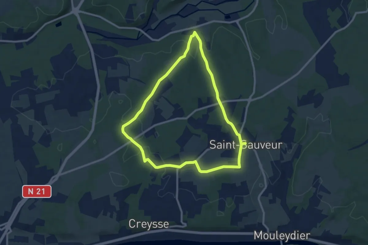
Easy · Trail
Sentier du Chêne
7.0 km · ↑ 114 m · 2 h · 8 km away
Easy · Trail
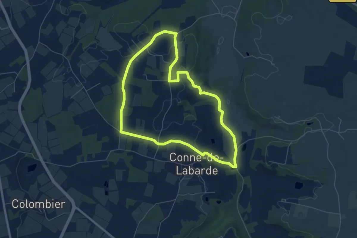
Boucle de la vallée
6.0 km · ↑ 79 m · 1 h 40 min · 8 km away
Medium · Trail
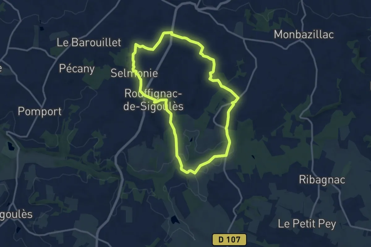
Boucle de Rouffignac de Sigoulès
9.8 km · ↑ 135 m · 2 h 44 min · 9 km away
Easy · Trail
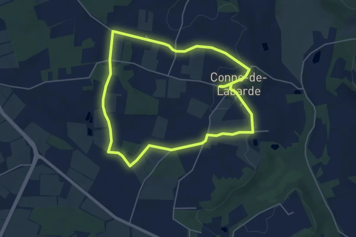
Boucle de Campna
4.3 km · ↑ 40 m · 1 h 10 min · 9 km away
Easy · Trail
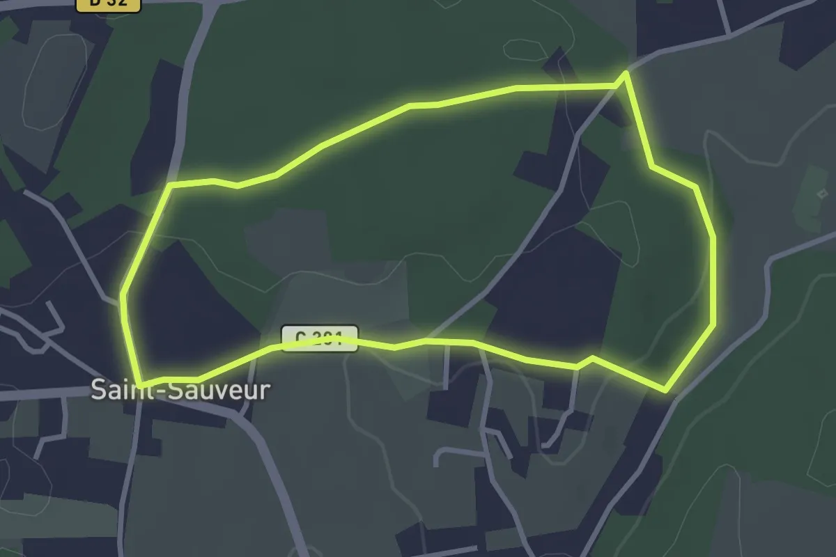
Sentier des Charmes
3.0 km · ↑ 34 m · 50 min · 9 km away
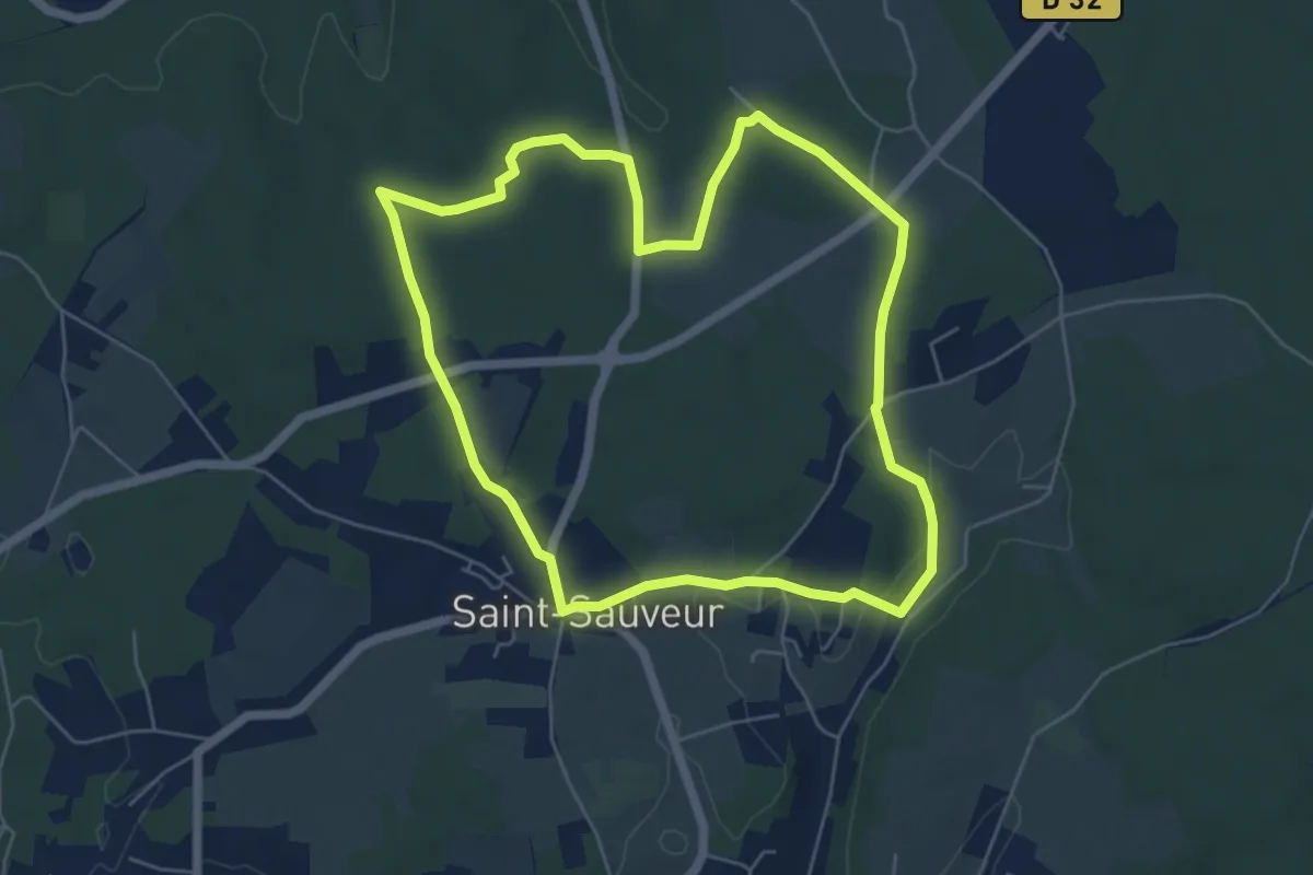
Easy · Trail
Sentier des Pins
5.9 km · ↑ 50 m · 1 h 35 min · 9 km away
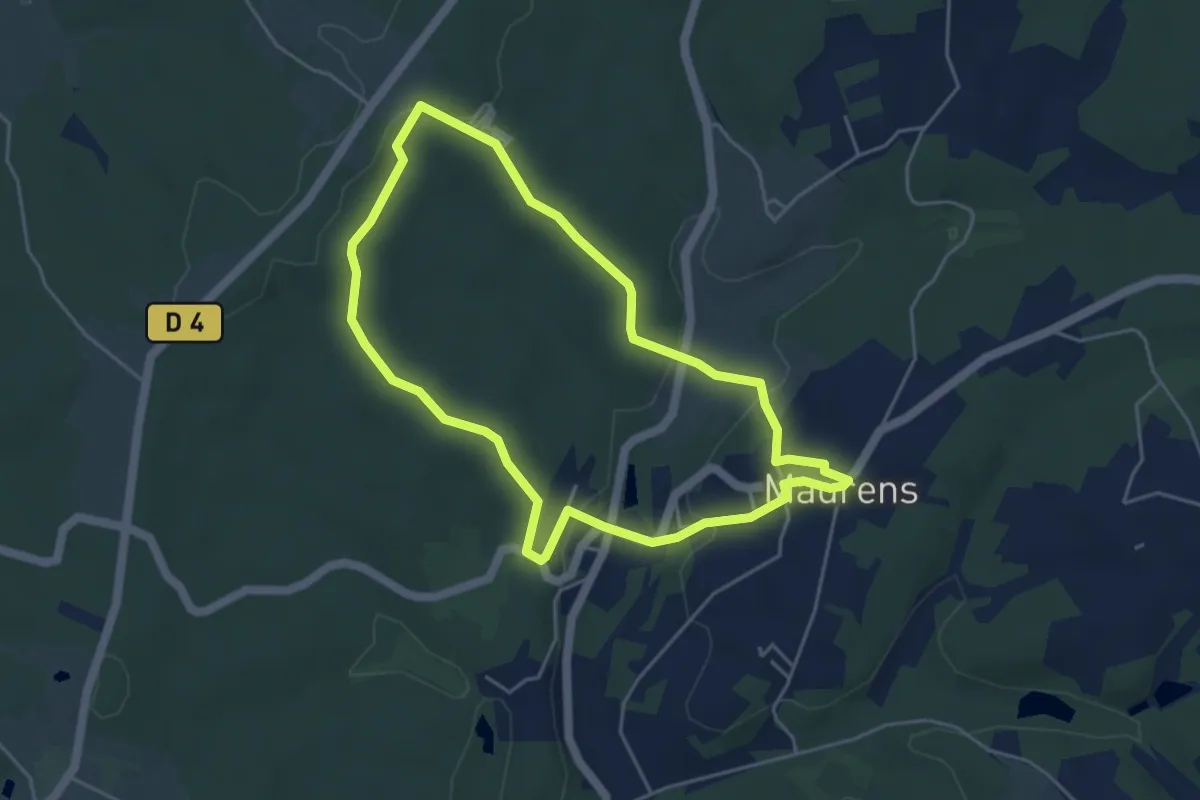
Easy · Trail
Boucle du Gros Roc
4.5 km · ↑ 107 m · 1 h 22 min · 9 km away
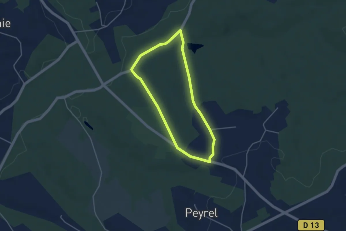
Easy · Trail
Boucle de Claud de Bled
3.1 km · ↑ 38 m · 51 min · 9 km away
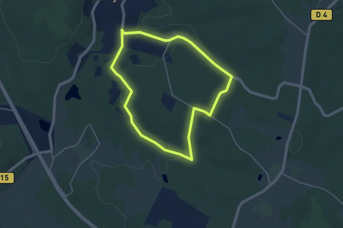
Easy · Trail
Boucle des Viradis
3.4 km · ↑ 63 m · 1 h · 9 km away
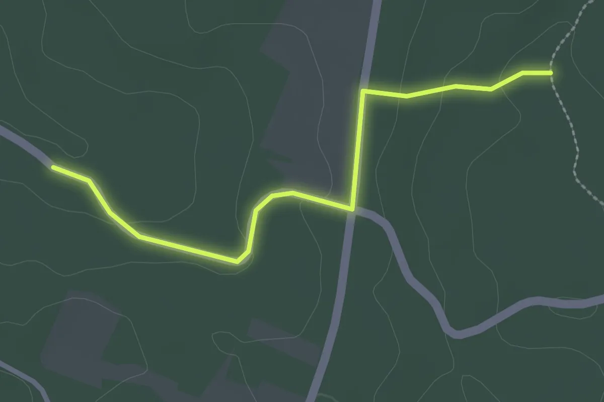
Easy · Trail
Liaison Laveyssière - Maurens
2.6 km · ↑ 48 m · 43 min · 9 km away
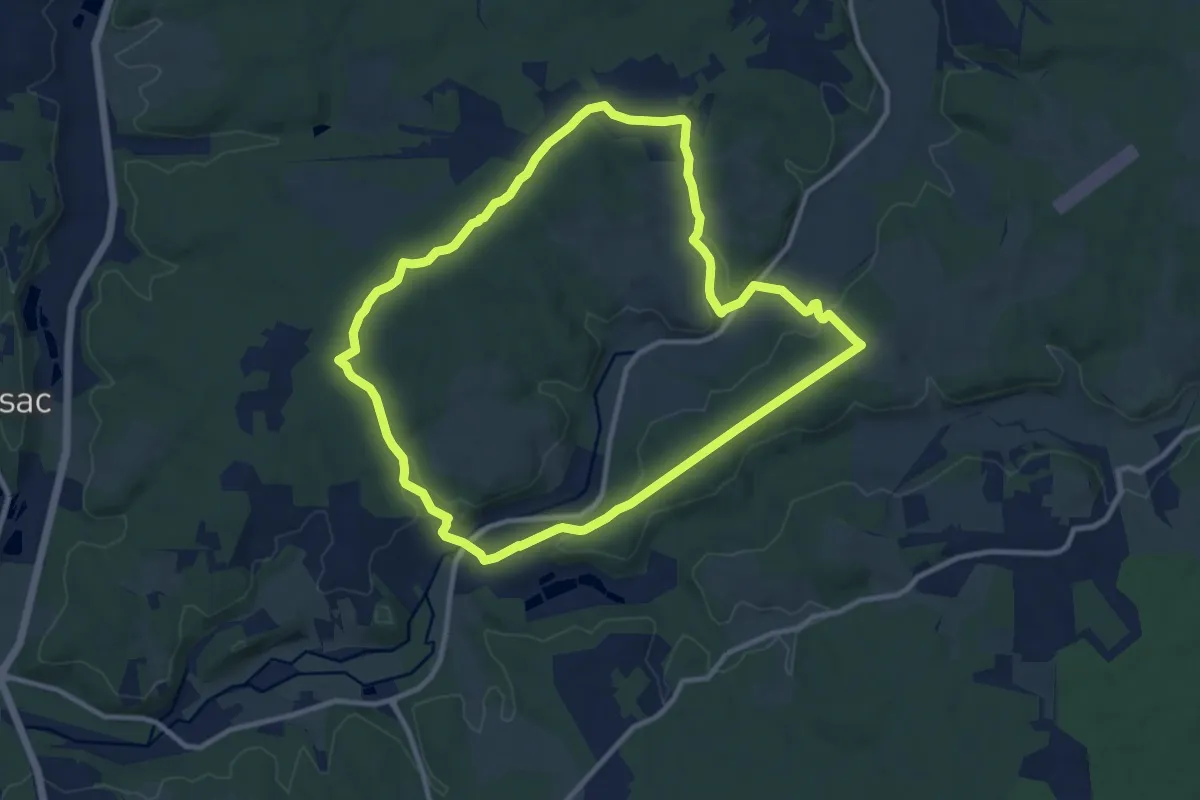
Medium · Trail
Circuit bleu
10.8 km · ↑ 191 m · 3 h 7 min · 9 km away
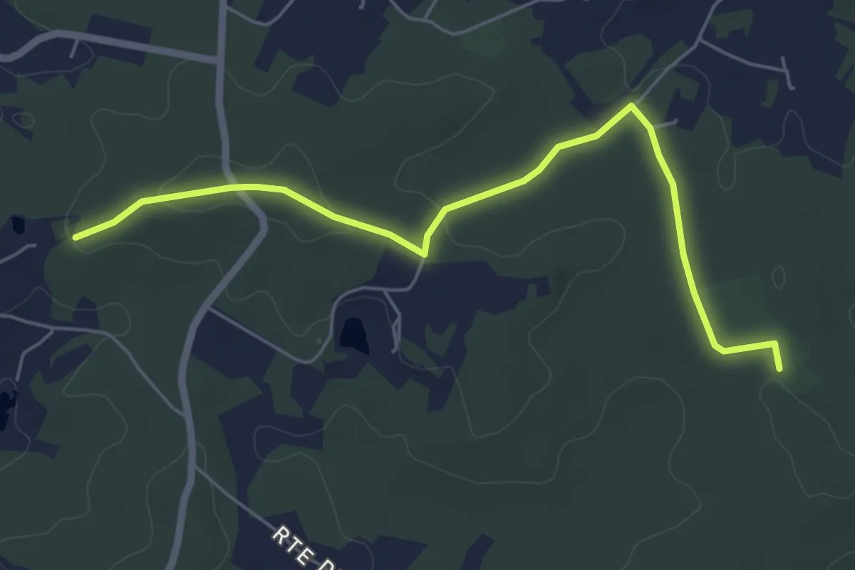
Easy · Trail
Liaison Maurens - Queysac - St-Julien-de-Crempse - Campsegret
6.0 km · ↑ 69 m · 1 h 33 min · 10 km away
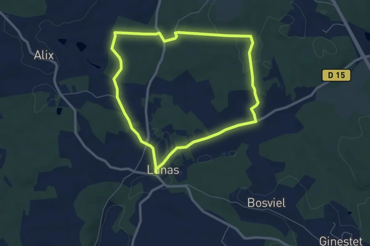
Easy · Trail
Boucle de Biorne
5.6 km · ↑ 97 m · 1 h 37 min · 10 km away
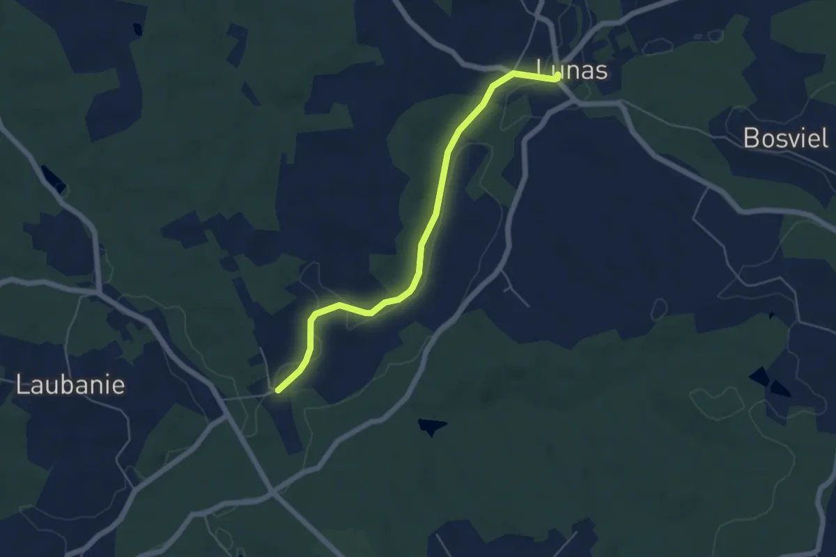
Easy · Trail
Liaison St-George-Blancaneix - Lunas
5.2 km · ↑ 51 m · 1 h 21 min · 10 km away
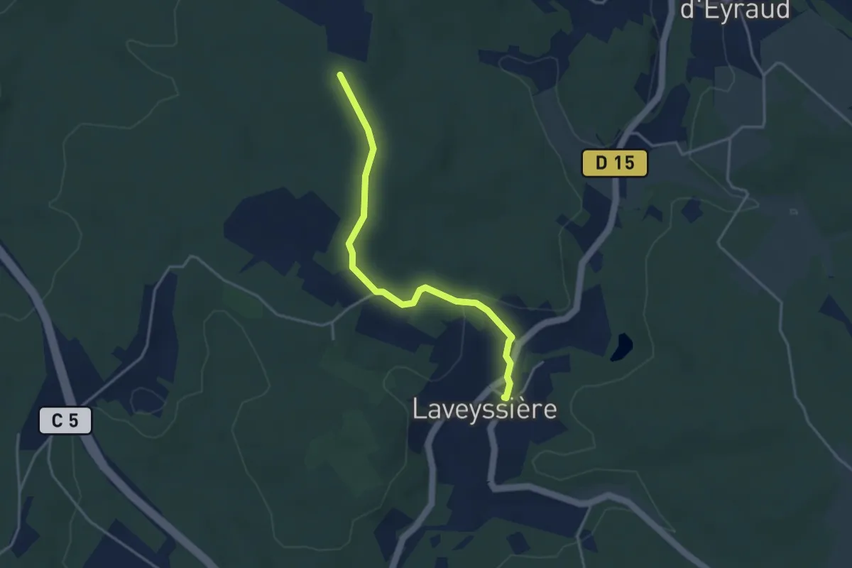
Easy · Trail
Liaison Laveyssière - Saint-Jean-d-'Eyraud - Lunas
3.6 km · ↑ 82 m · 1 h 2 min · 10 km away
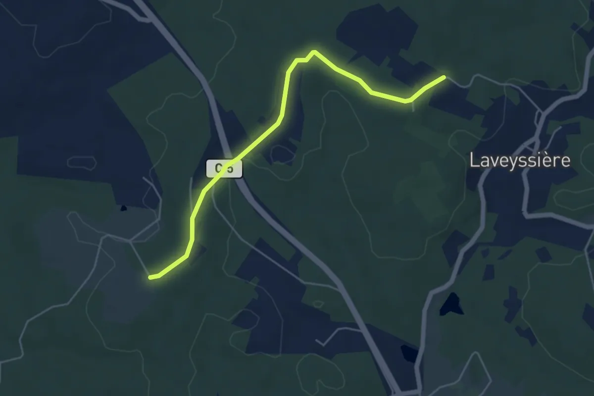
Easy · Trail
Liaison Laveyssière - Saint-Jean-d-'Eyraud - Lunas
5.0 km · ↑ 49 m · 1 h 17 min · 11 km away
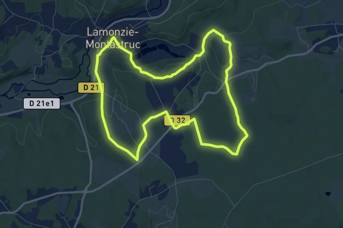
Medium · Trail
Circuit vert
8.9 km · ↑ 145 m · 2 h 32 min · 11 km away
Easy · Trail
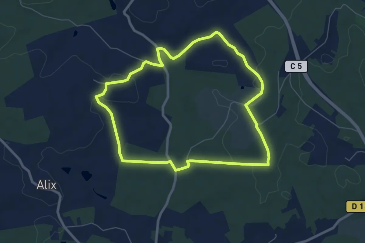
Boucle de Peypensou
5.9 km · ↑ 116 m · 1 h 43 min · 11 km away
Medium · Summit
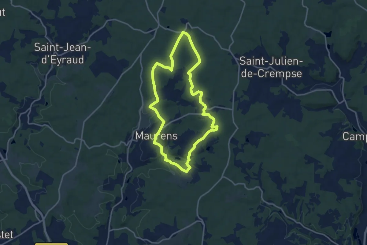
Boucle du Massif de Lagudal
11.0 km · ↑ 199 m · 3 h 10 min · 11 km away
Easy · Trail
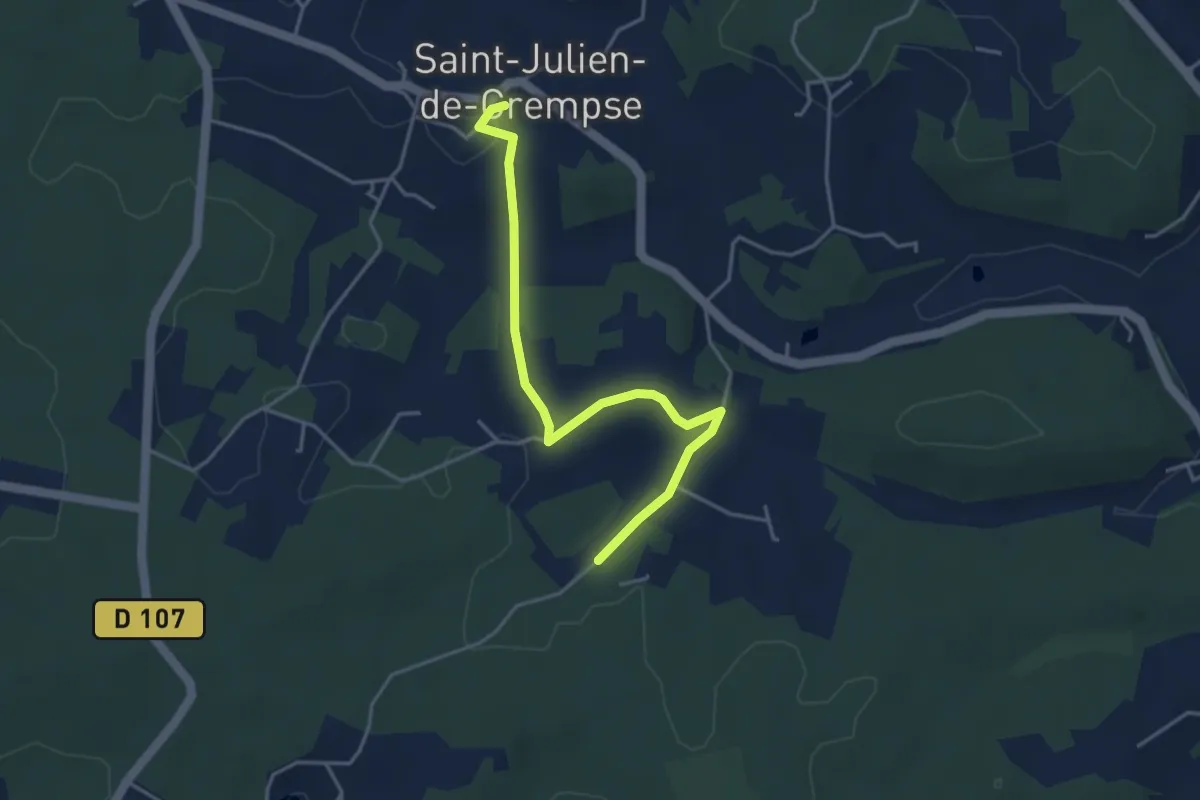
Liaison Maurens - Queysac - St-Julien-de-Crempse - Campsegret
4.3 km · ↑ 81 m · 1 h 11 min · 11 km away
Easy · Trail
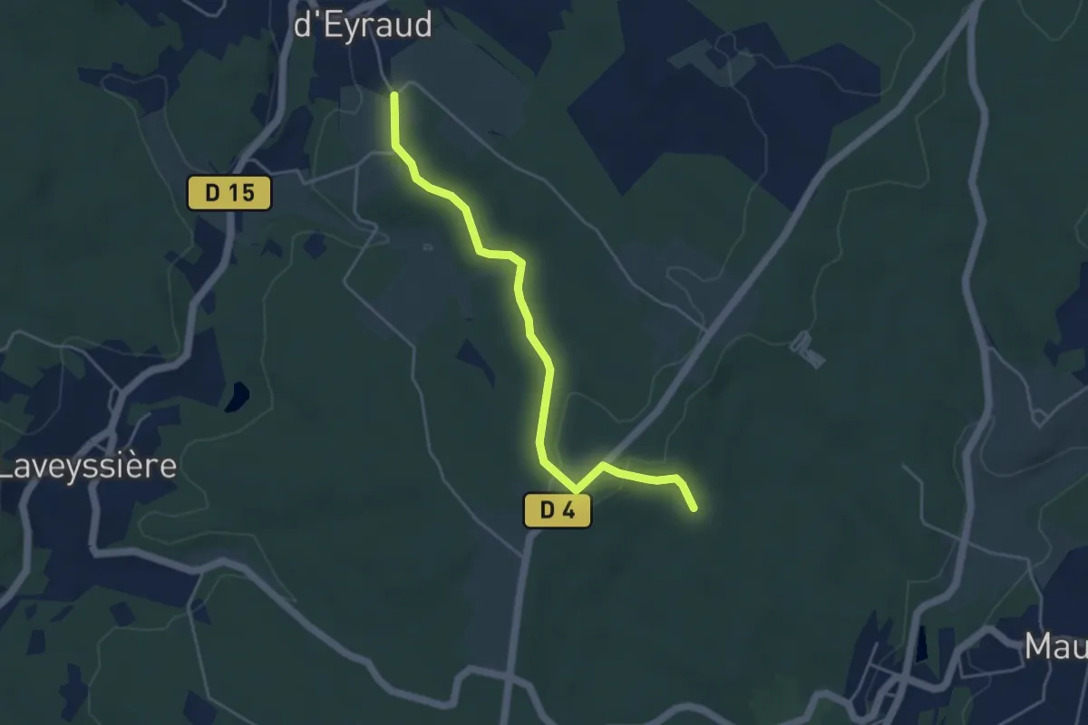
Liaison St-Jean-d'Eyraud - Maurens
4.4 km · ↑ 82 m · 1 h 14 min · 11 km away
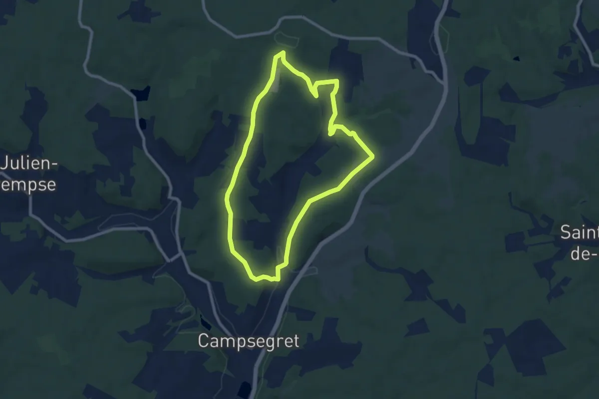
Easy · Trail
Boucle de Campsegret
7.3 km · ↑ 151 m · 2 h 10 min · 12 km away
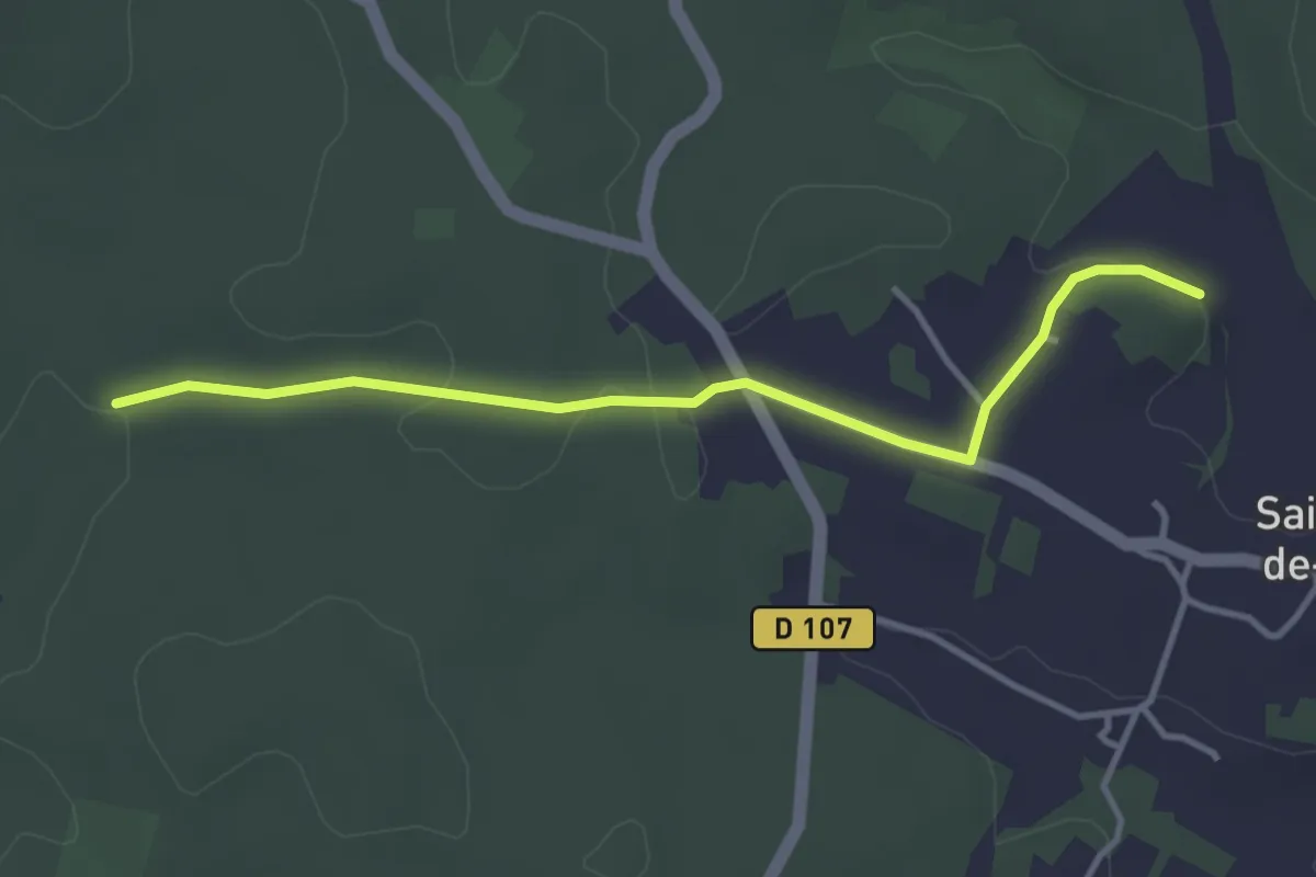
Easy · Trail
Liaison St-Julien-de-Crempse - Maurens
3.8 km · ↑ 51 m · 1 h · 12 km away
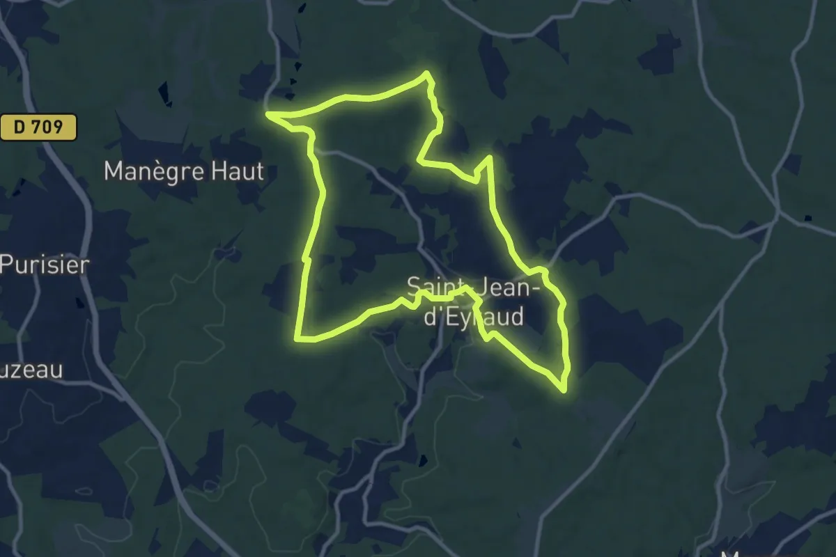
Medium · Trail
Boucle de l'Eyraud
10.8 km · ↑ 157 m · 3 h 2 min · 12 km away
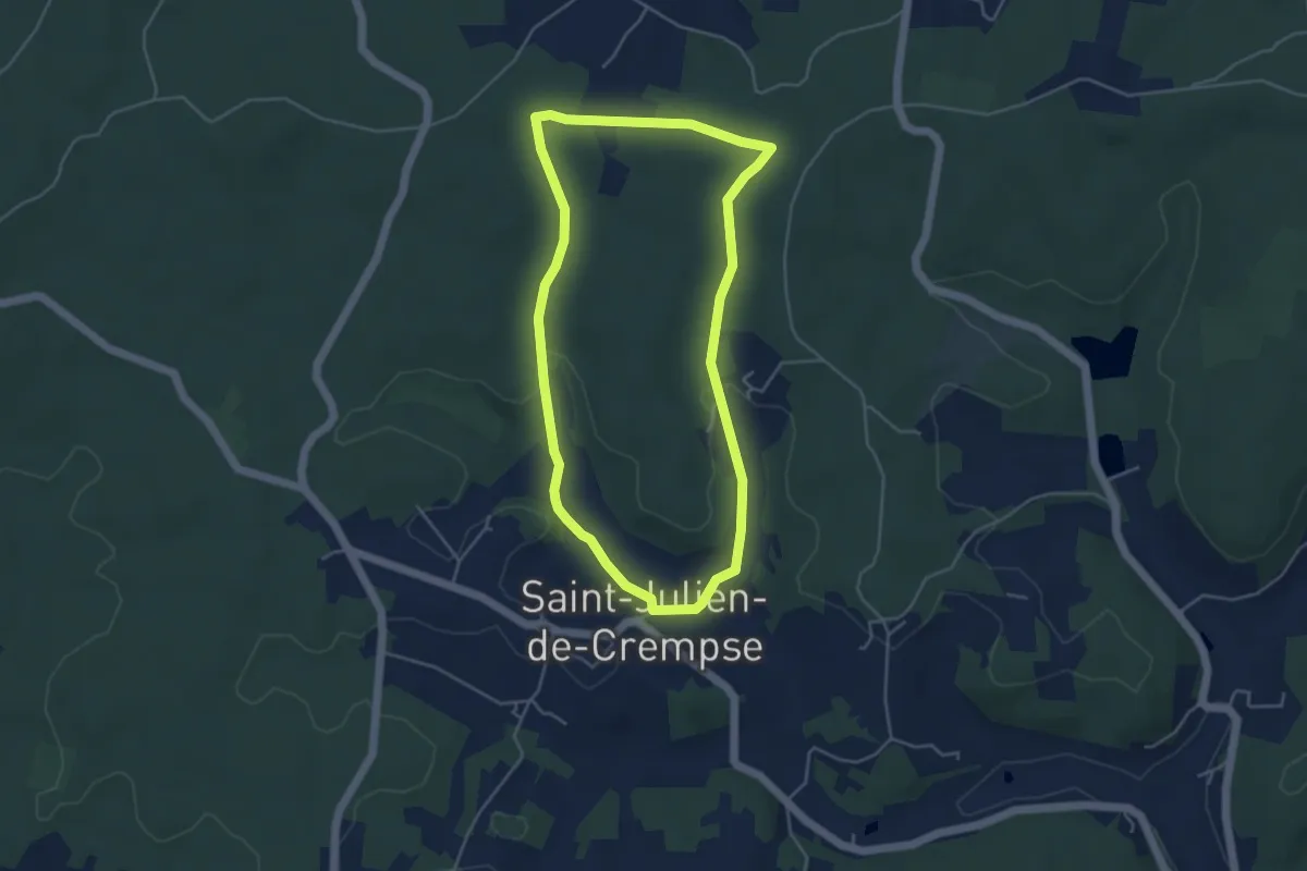
Easy · Trail
Boucle de Saint-Julien
4.5 km · ↑ 65 m · 1 h 15 min · 13 km away
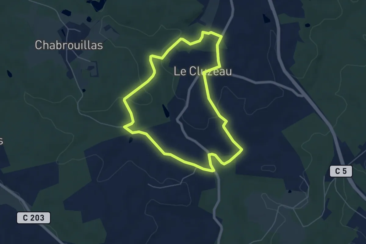
Easy · Trail
Boucle du Cluzeau
5.2 km · ↑ 86 m · 1 h 29 min · 13 km away
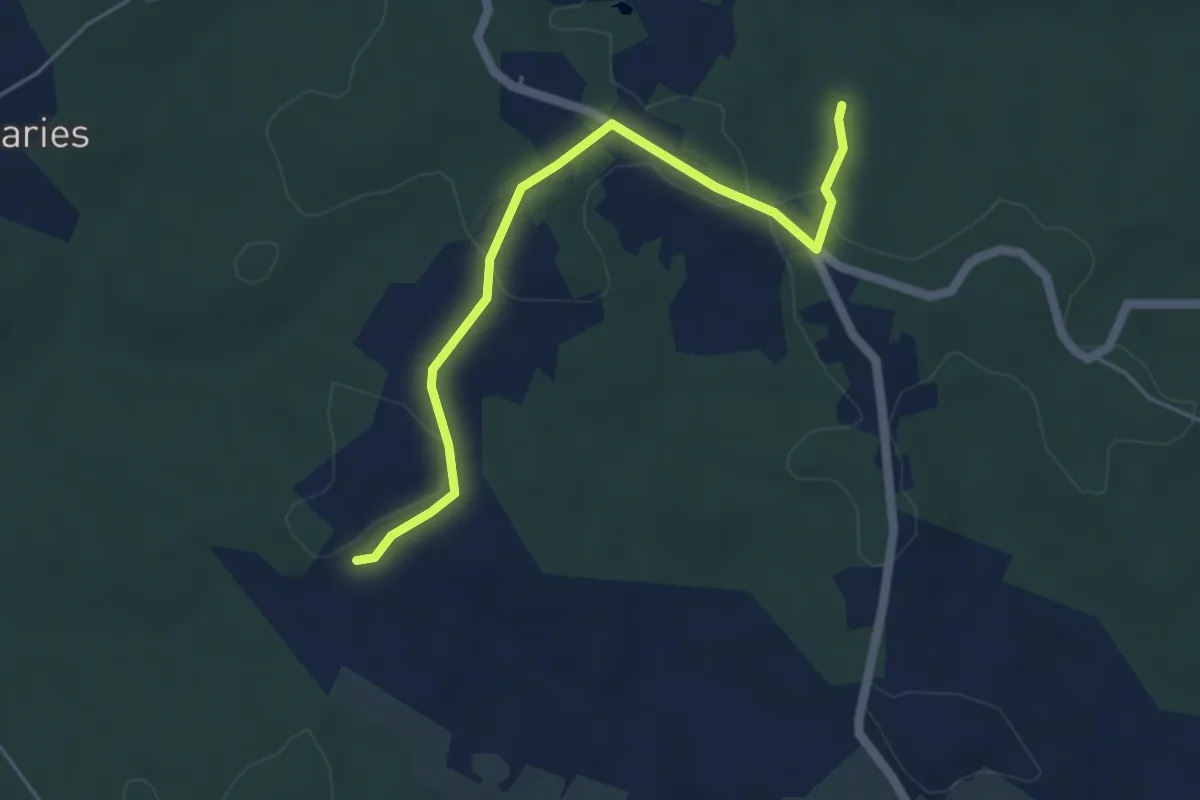
Easy · Trail
Liaison
5.1 km · ↑ 50 m · 1 h 19 min · 13 km away
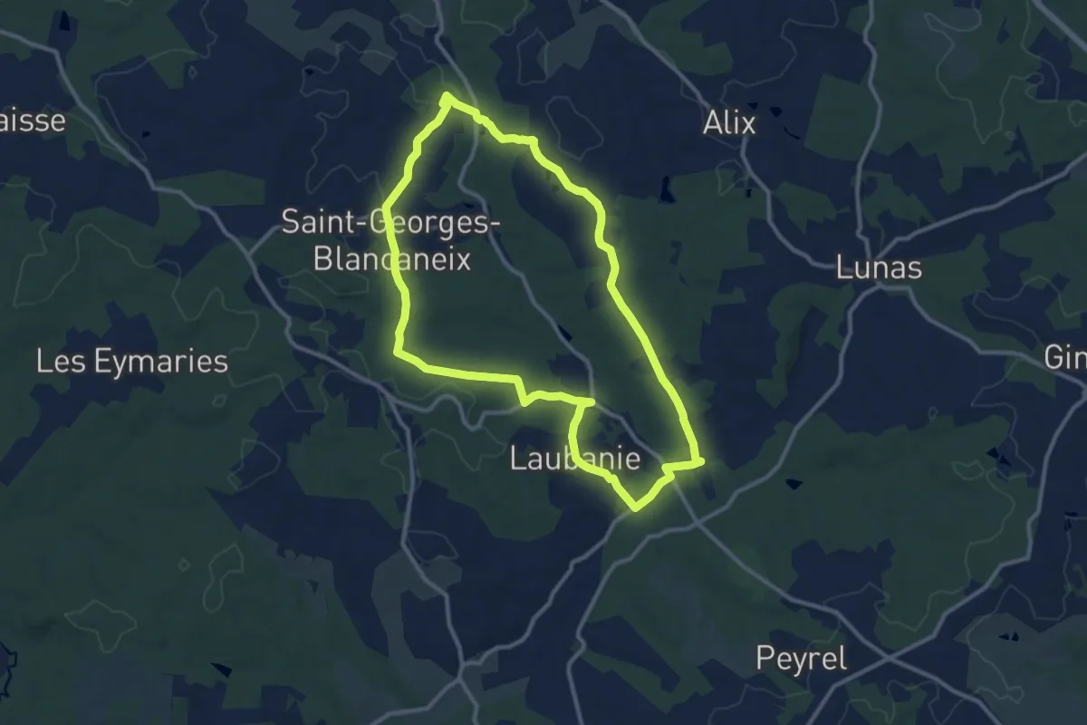
Medium · Trail
Boucle de Saint-Georges-Blancaneix
10.9 km · ↑ 154 m · 3 h 3 min · 13 km away
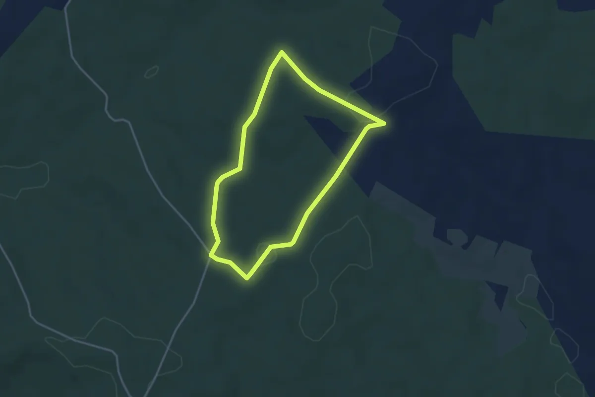
Easy · Trail
Boucle du café-Rouge
3.0 km · ↑ 58 m · 53 min · 14 km away
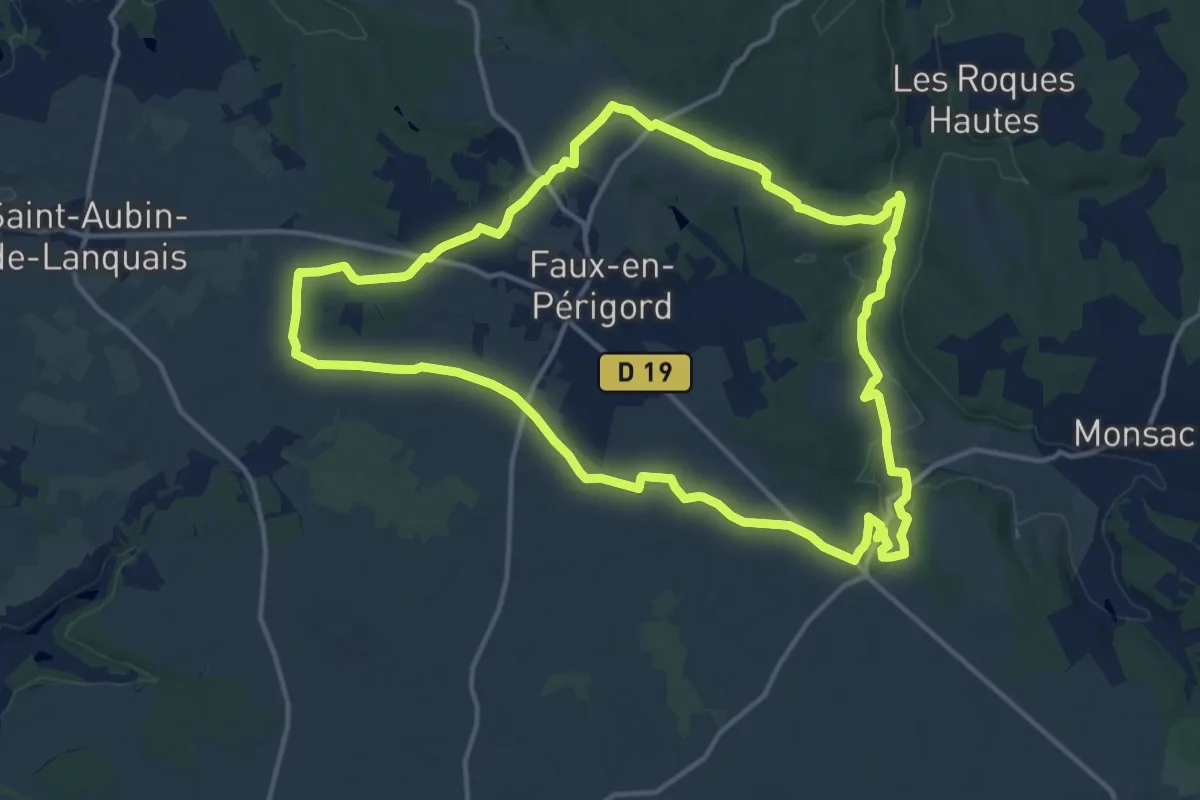
Medium · Trail
Boucle Falloise
15.3 km · ↑ 153 m · 4 h 9 min · 14 km away
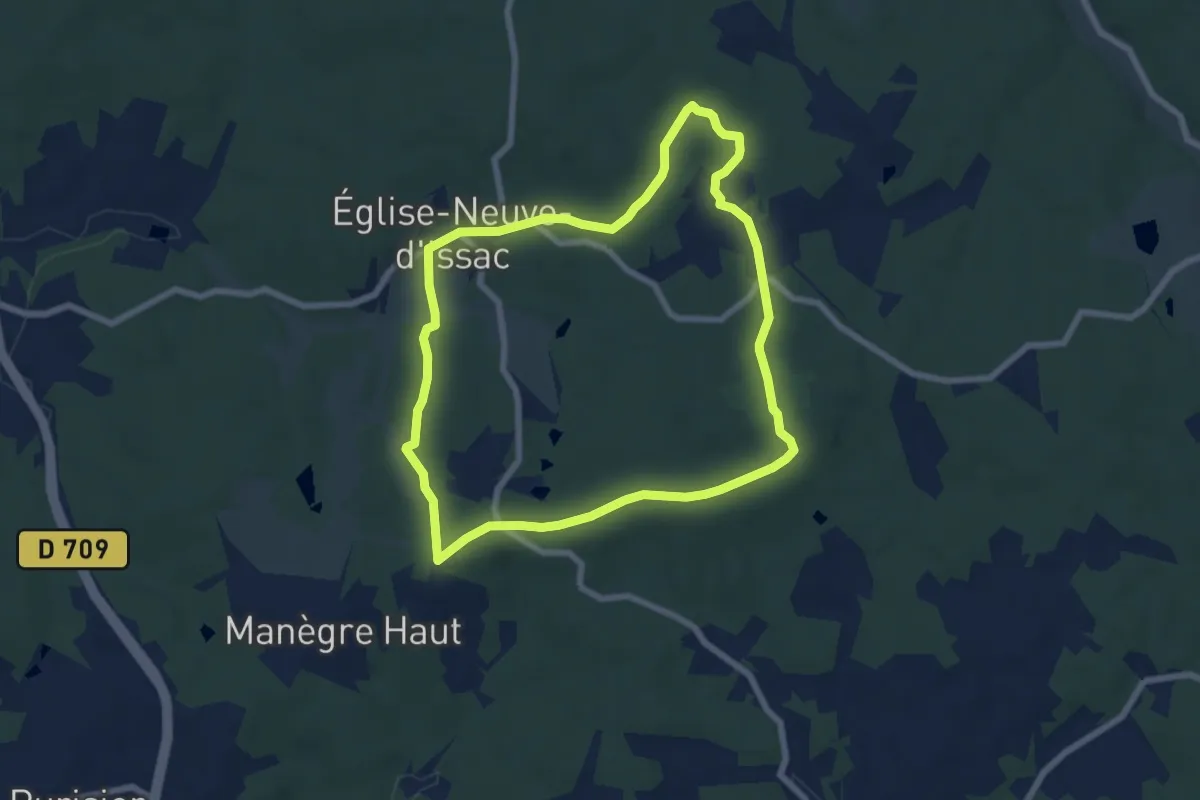
Easy · Trail
Boucle de Joan d'Ors
6.9 km · ↑ 78 m · 1 h 53 min · 14 km away
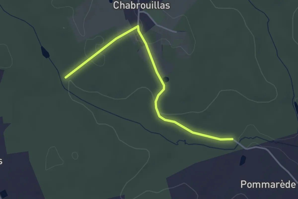
Easy · Trail
Liaison Bosset - Lunas
3.5 km · ↑ 55 m · 57 min · 14 km away
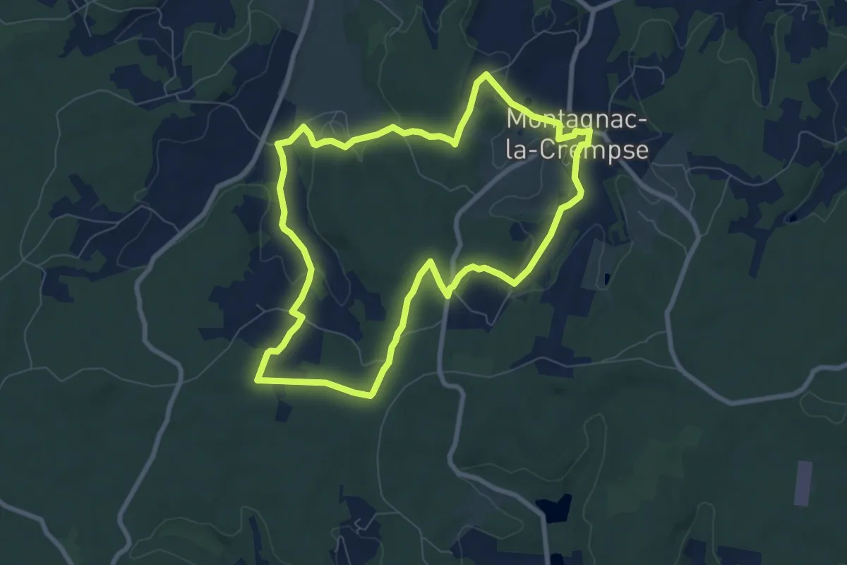
Easy · Trail
Boucle de Montagnac
7.8 km · ↑ 148 m · 2 h 16 min · 14 km away
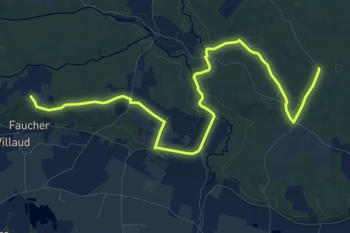
Medium · Trail
Liaison
15.3 km · ↑ 155 m · 3 h 57 min · 14 km away
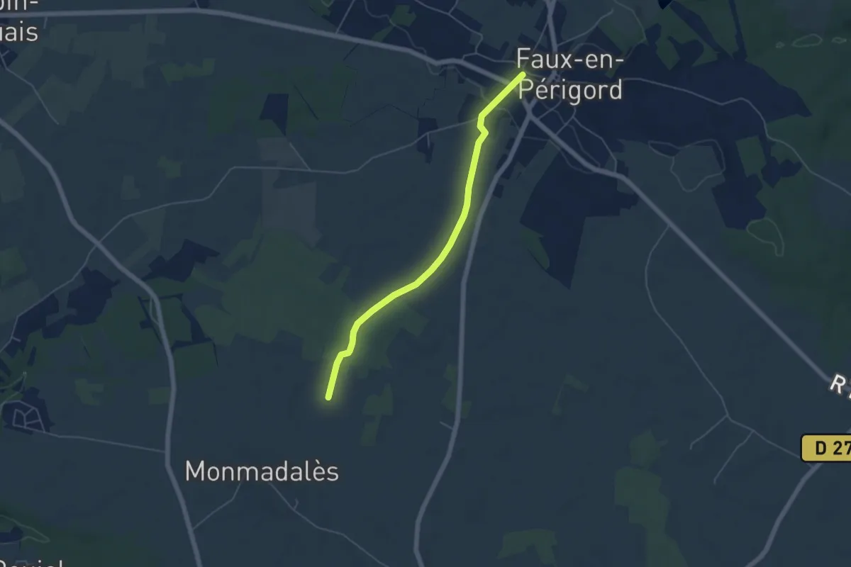
Easy · Trail
Liaison Faux - Monmadalès - Montaut
5.1 km · ↑ 40 m · 1 h 17 min · 14 km away
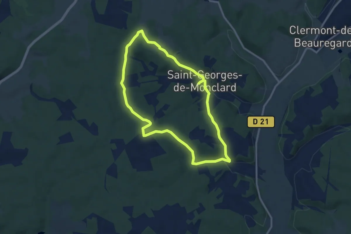
Easy · Trail
Boucle de Saint-Georges-de-Monclard
6.9 km · ↑ 142 m · 2 h 3 min · 14 km away
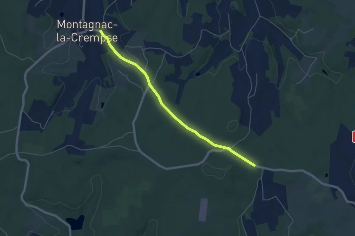
Easy · Trail
Liaison Pont-St-Mamet - Campsegret - Montagnac-la-Crempse
5.0 km · ↑ 82 m · 1 h 21 min · 14 km away