Trails near Bollène
31 hikes starting within 15 km, nearest first.
Nearest first
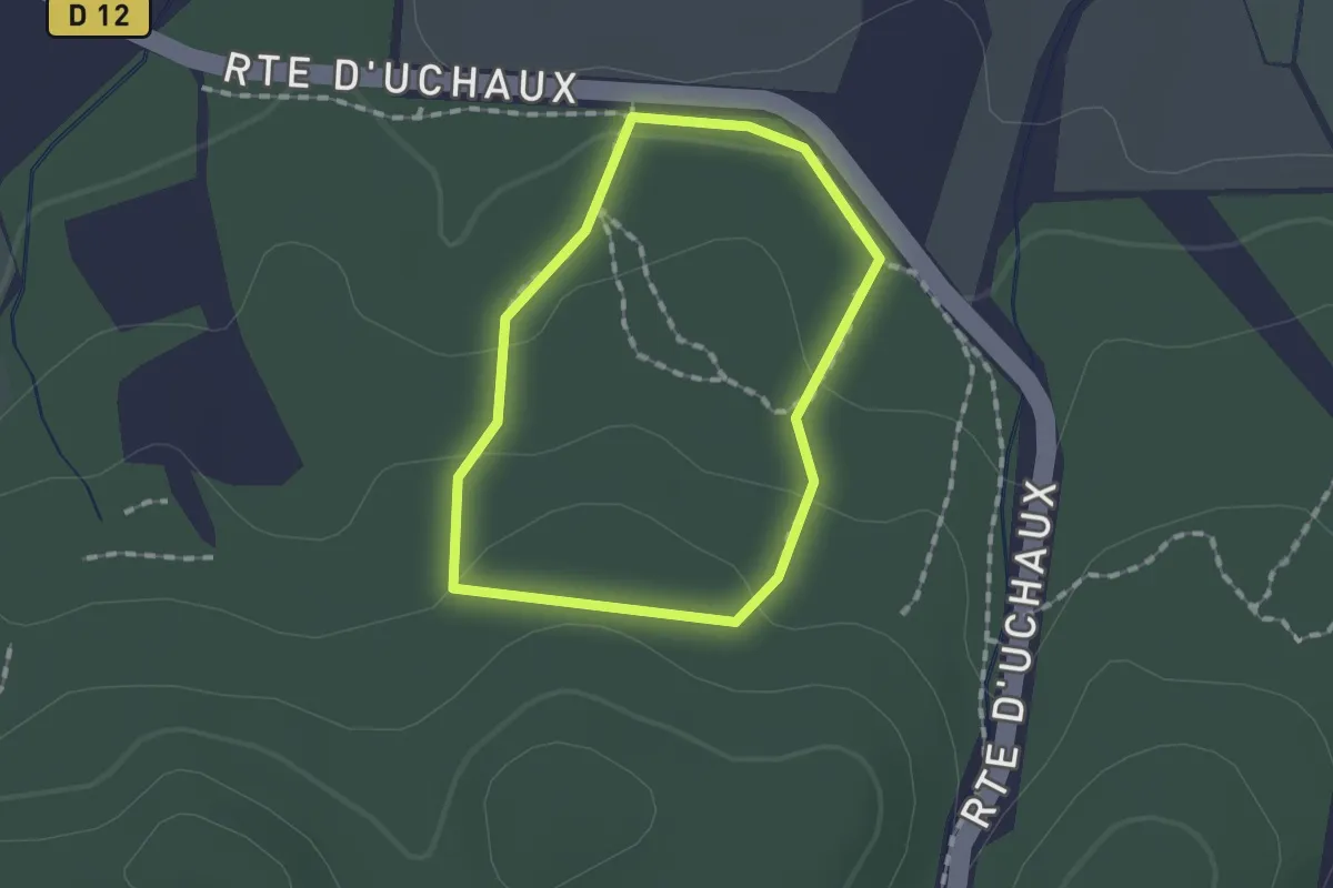
Easy · Trail
Sentier Botanique
1.3 km · ↑ 43 m · 24 min · 3 km away
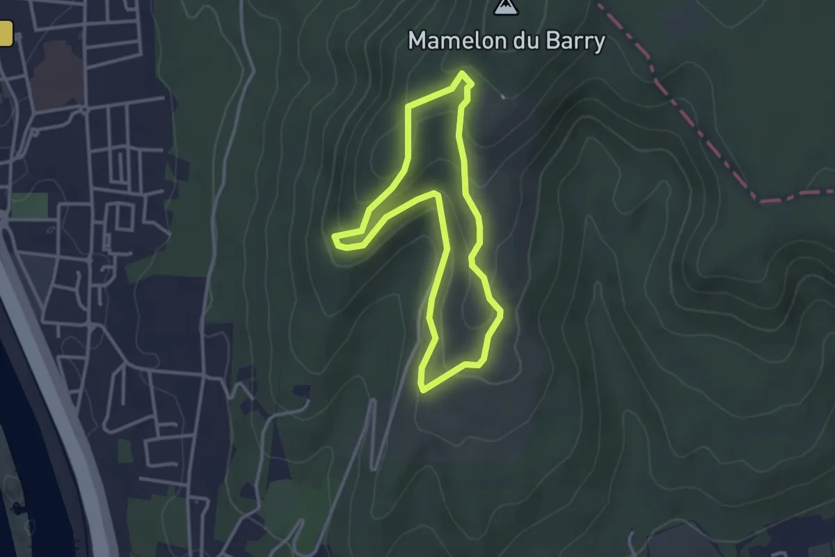
Easy · Trail
Le village troglodytique et l'oppidum
2.9 km · ↑ 114 m · 58 min · 4 km away
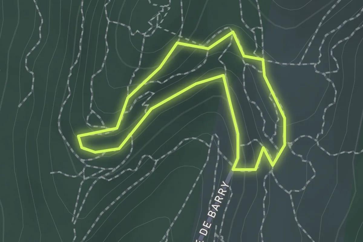
Easy · Trail
Le village troglodytique
1.5 km · ↑ 58 m · 30 min · 4 km away
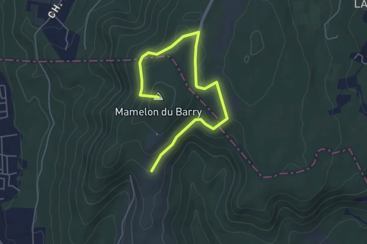
Easy · Summit
Le belvédère et le château de Chabrières
5.0 km · ↑ 120 m · 1 h 27 min · 4 km away
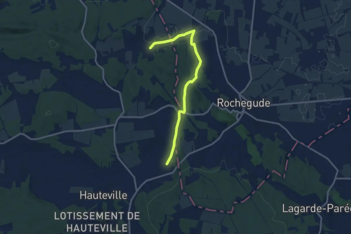
Easy · Trail
Tour du Massif d'Uchaux
4.1 km · ↑ 80 m · 1 h 11 min · 5 km away
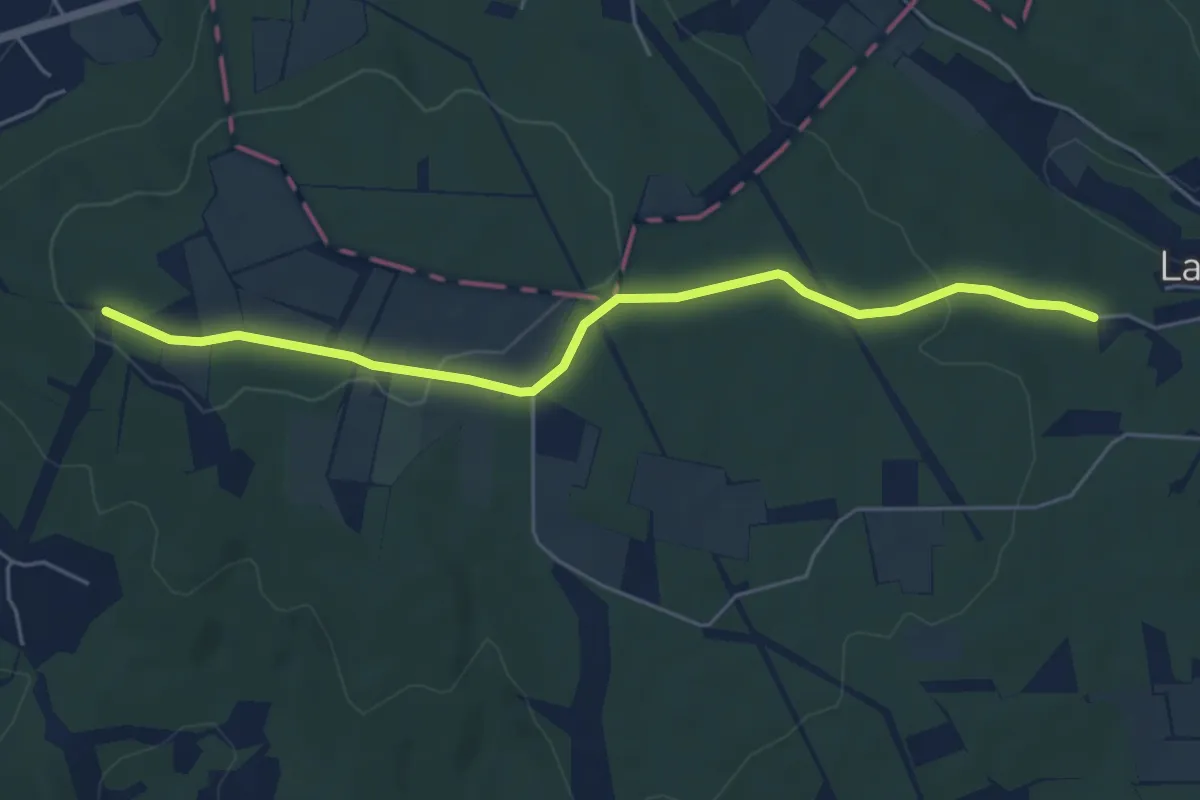
Easy · Trail
Saint-Martin-d'Ardèche – Abri du Contrat
5.7 km · ↑ 89 m · 1 h 32 min · 8 km away
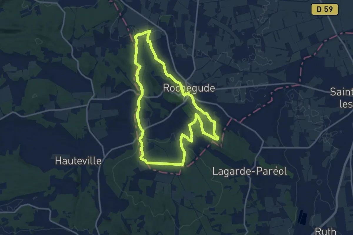
Medium · Trail
La sente de la Farigoule
11.8 km · ↑ 232 m · 3 h 27 min · 8 km away
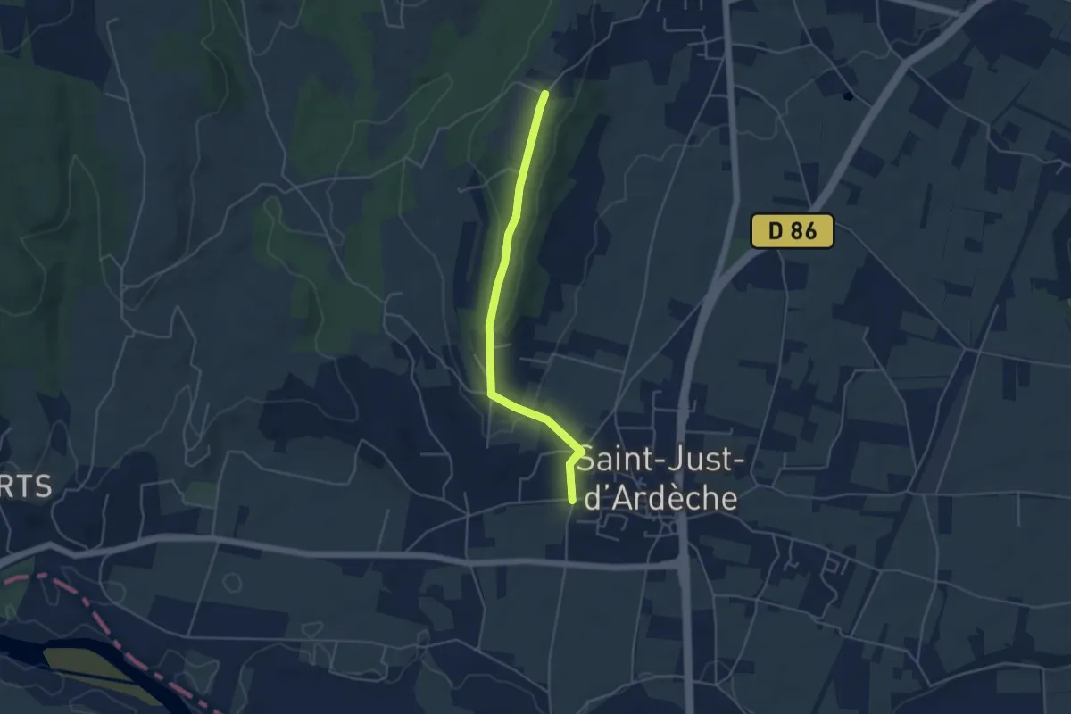
Easy · Trail
Chemin de la Croix Vieille - Chaveyron
4.4 km · ↑ 86 m · 1 h 14 min · 12 km away
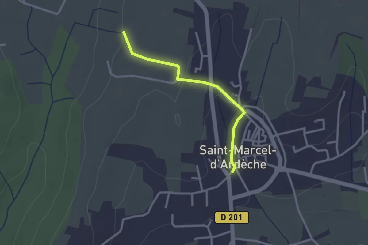
Easy · Trail
Saint-Marcel-d'Ardèche - Lafare
2.2 km · ↑ 52 m · 38 min · 12 km away
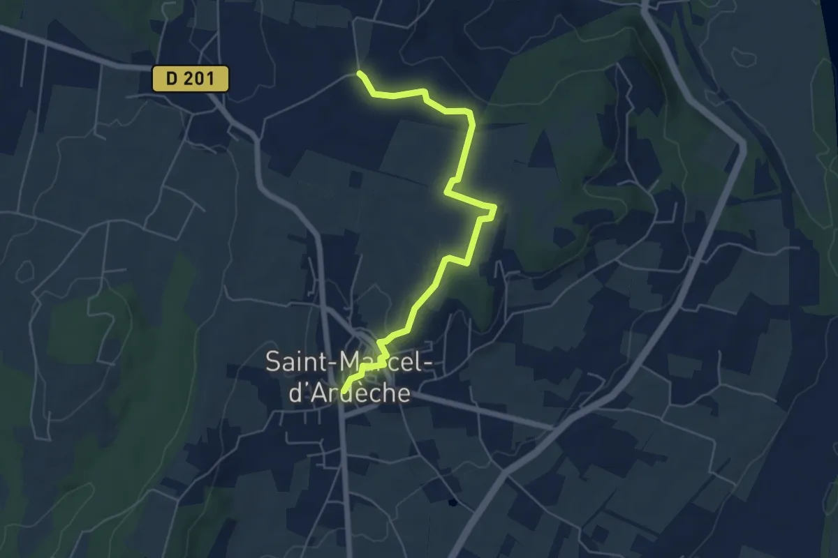
Easy · Trail
Saint-Marcel-d'Ardèche - Souchas
5.8 km · ↑ 70 m · 1 h 31 min · 12 km away
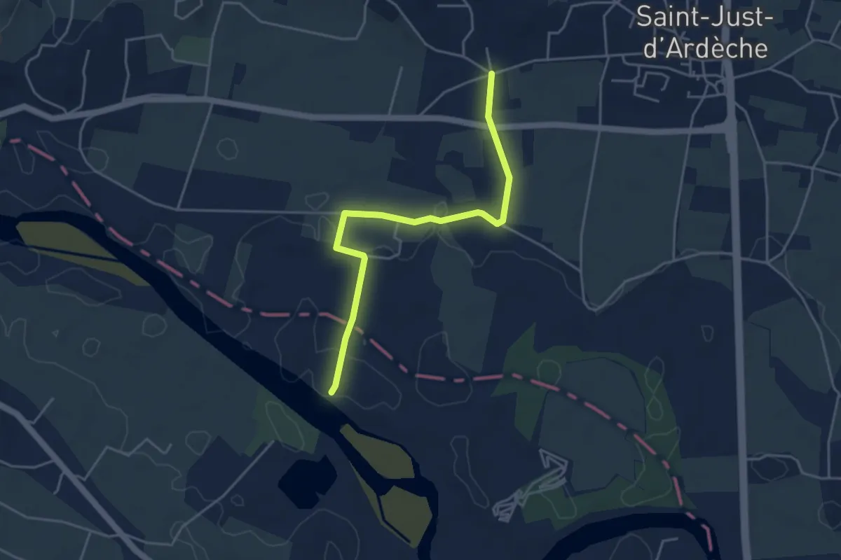
Easy · Trail
Les Broutières - Vachère
4.4 km · ↑ 21 m · 1 h 5 min · 12 km away
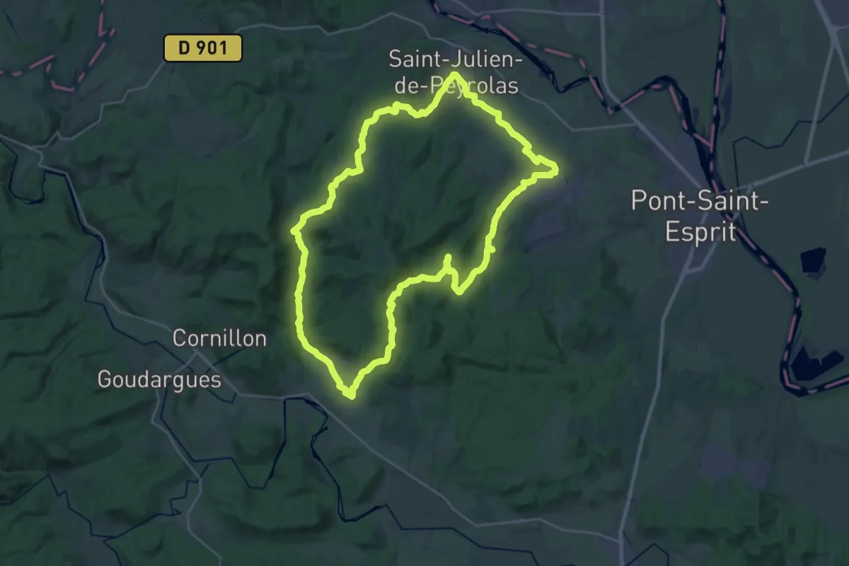
Demanding · Trail
La Chartreuse de Valbonne
28.2 km · ↑ 433 m · 8 h · 12 km away
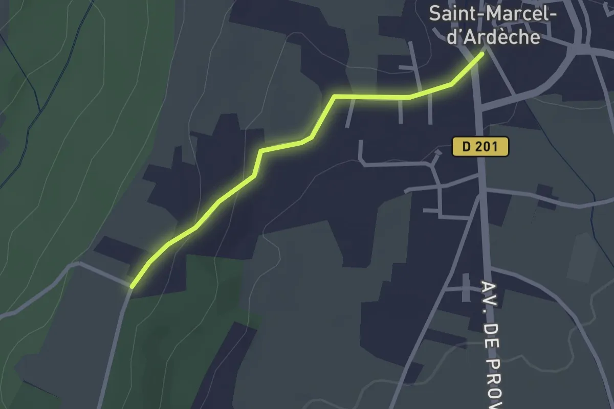
Easy · Trail
Saint-Marcel-d'Ardèche - Chaveyron
2.2 km · ↑ 41 m · 37 min · 12 km away
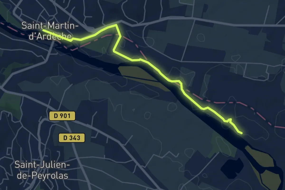
Easy · Trail
Les Quais - Les Broutières
5.9 km · ↑ 36 m · 1 h 28 min · 12 km away
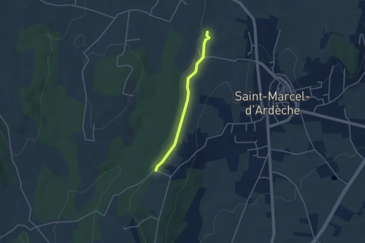
Easy · Trail
Peyrobe - Lafare
2.7 km · ↑ 27 m · 42 min · 12 km away
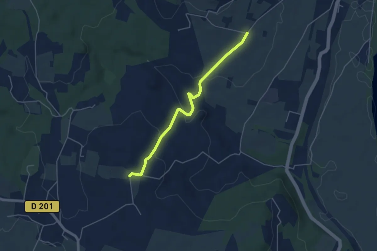
Easy · Trail
Coulange - Chapelle Saint-Julien
4.2 km · ↑ 121 m · 1 h 15 min · 13 km away
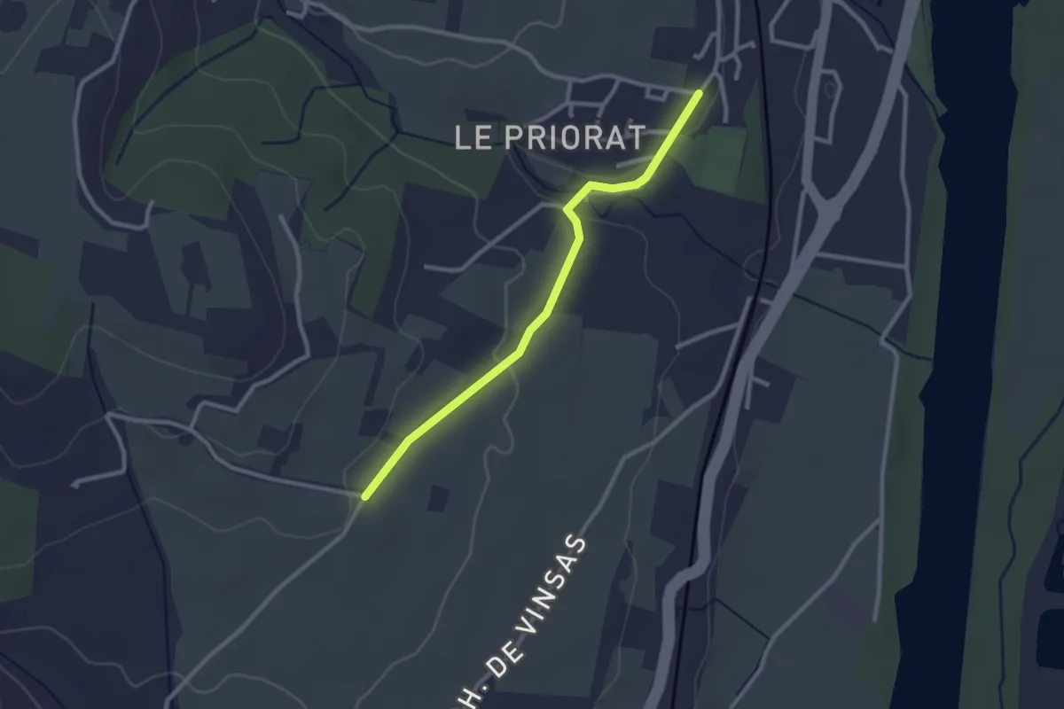
Easy · Trail
Seilloux - Coulange
2.6 km · ↑ 41 m · 42 min · 13 km away
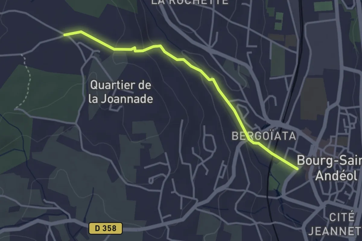
Easy · Trail
Pradelle - Darbousset
3.4 km · ↑ 97 m · 1 h · 13 km away
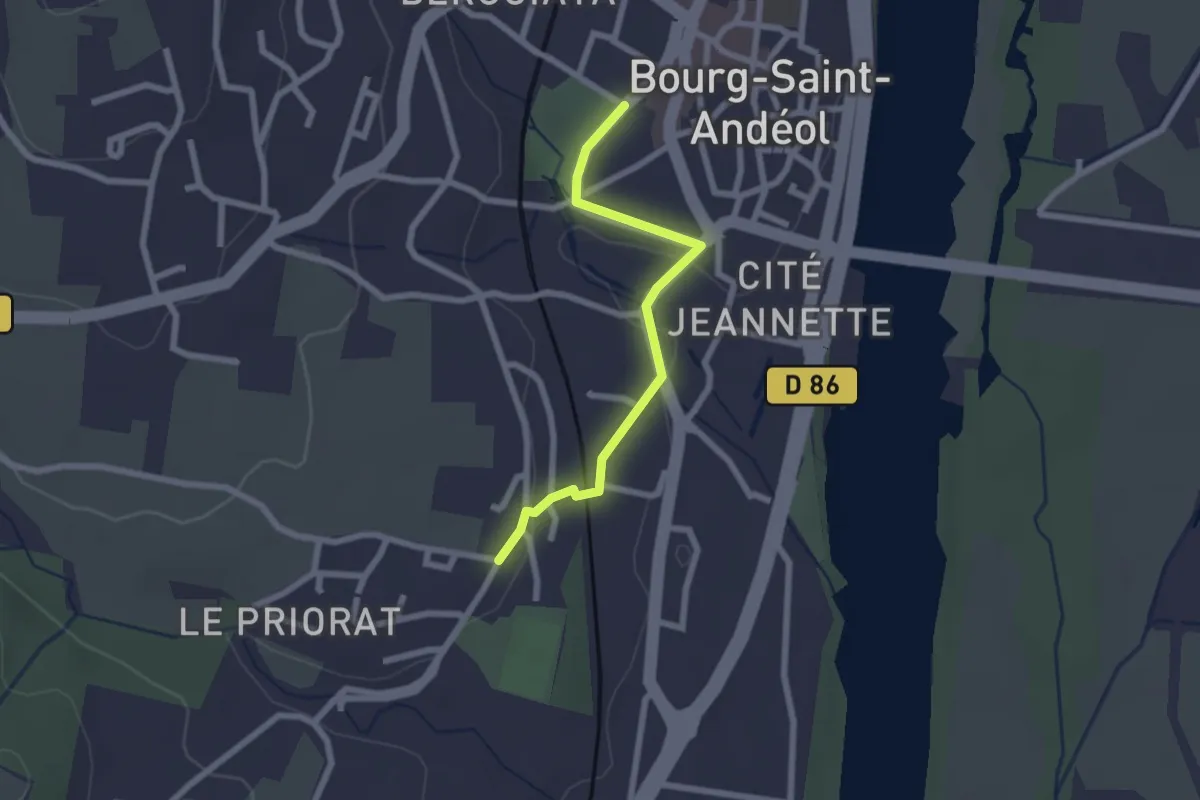
Easy · Trail
Pradelle - Seilloux
2.2 km · ↑ 35 m · 36 min · 13 km away
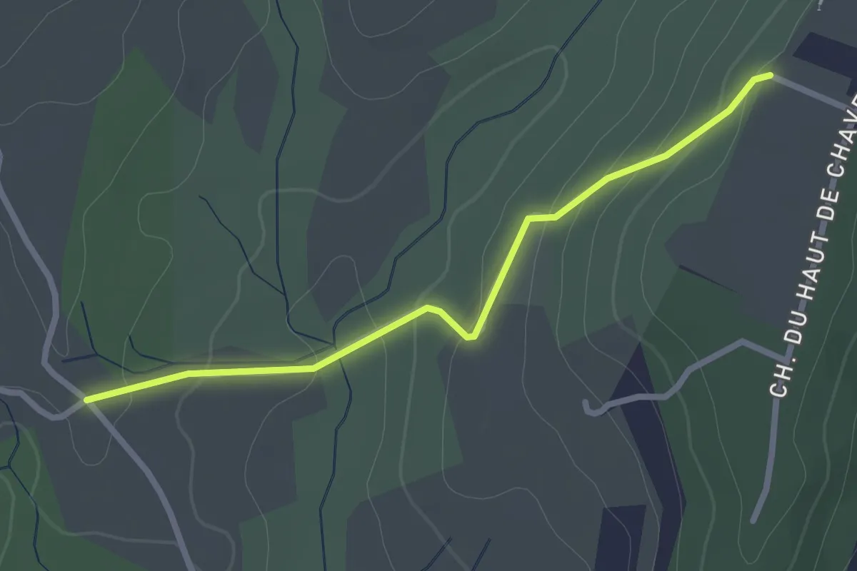
Easy · Trail
Malherte - Peyrobe
2.5 km · ↑ 85 m · 47 min · 13 km away
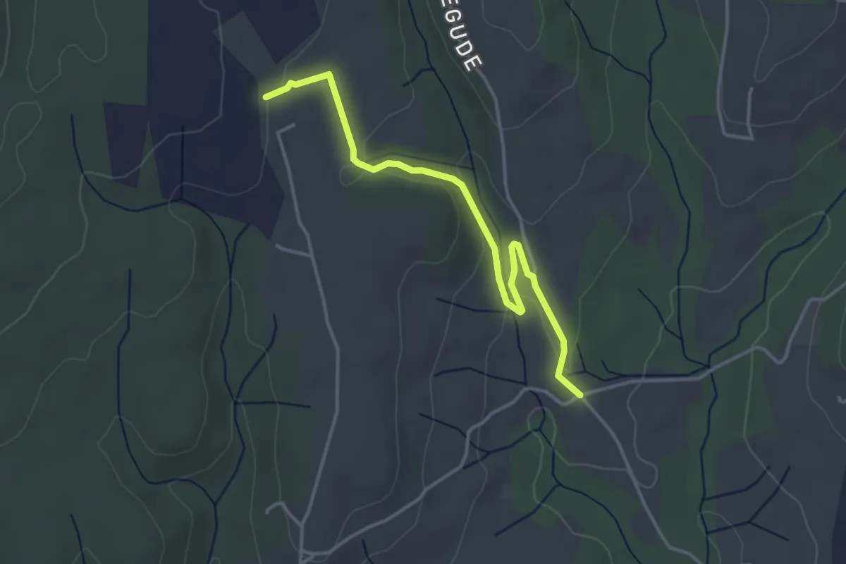
Easy · Trail
Malherte - Chapelle Saint-Sulpice
3.9 km · ↑ 89 m · 1 h 7 min · 13 km away
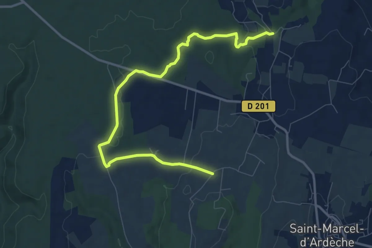
Medium · Trail
La Garoune - Champ de Grézas
10.0 km · ↑ 143 m · 2 h 41 min · 13 km away
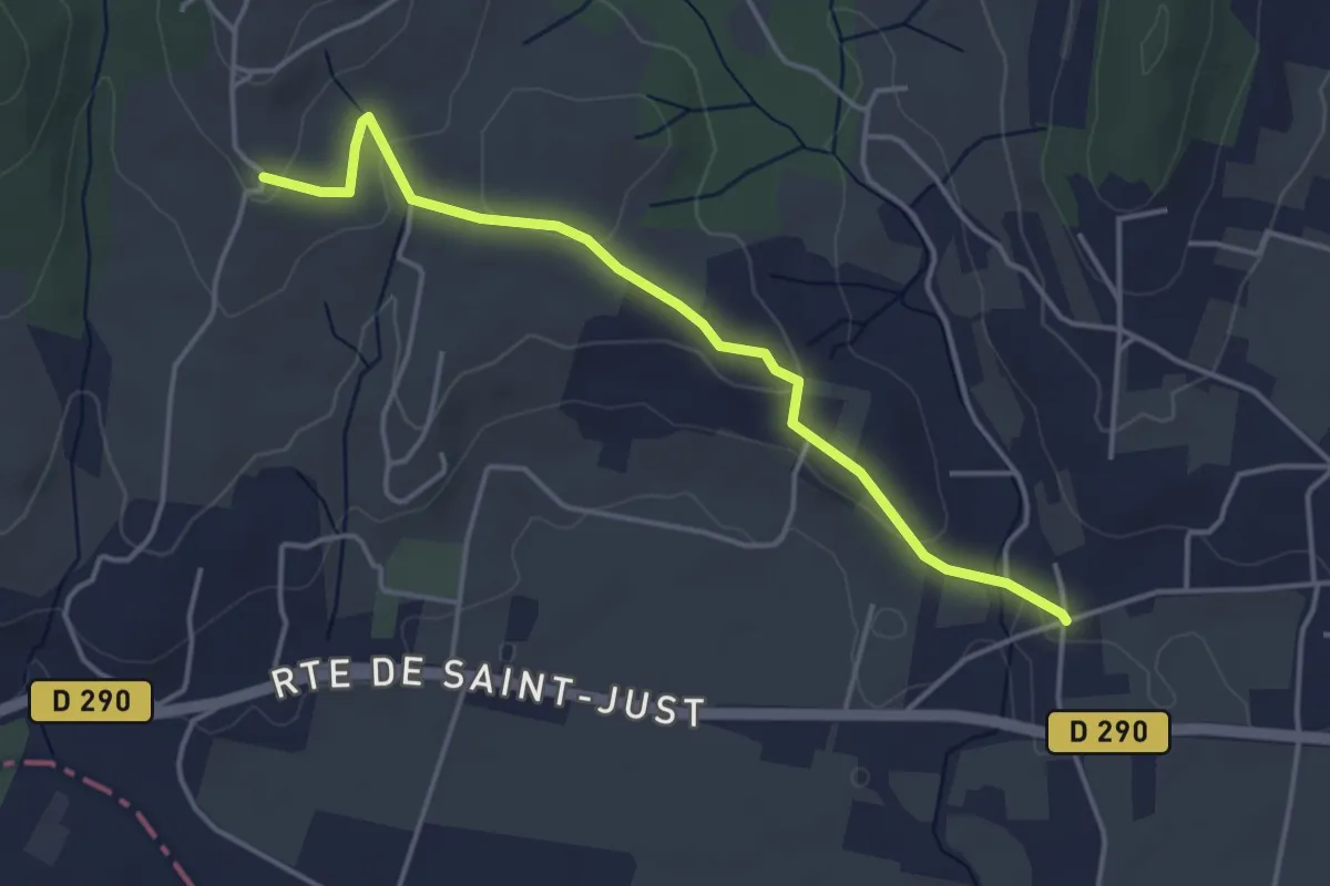
Easy · Trail
Vachère - Trignan Bas
4.3 km · ↑ 85 m · 1 h 12 min · 14 km away
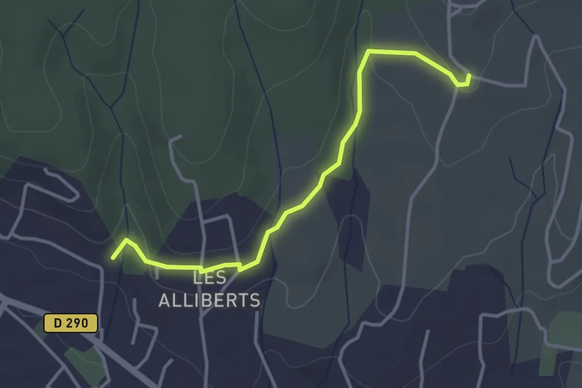
Easy · Trail
Les Alliberts - Trignan Bas
3.3 km · ↑ 56 m · 54 min · 14 km away
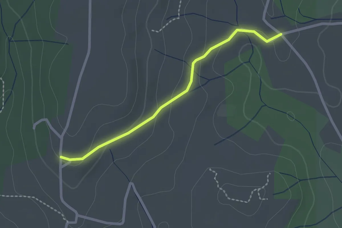
Easy · Trail
Malherte - Trignan Haut
2.1 km · ↑ 57 m · 37 min · 14 km away
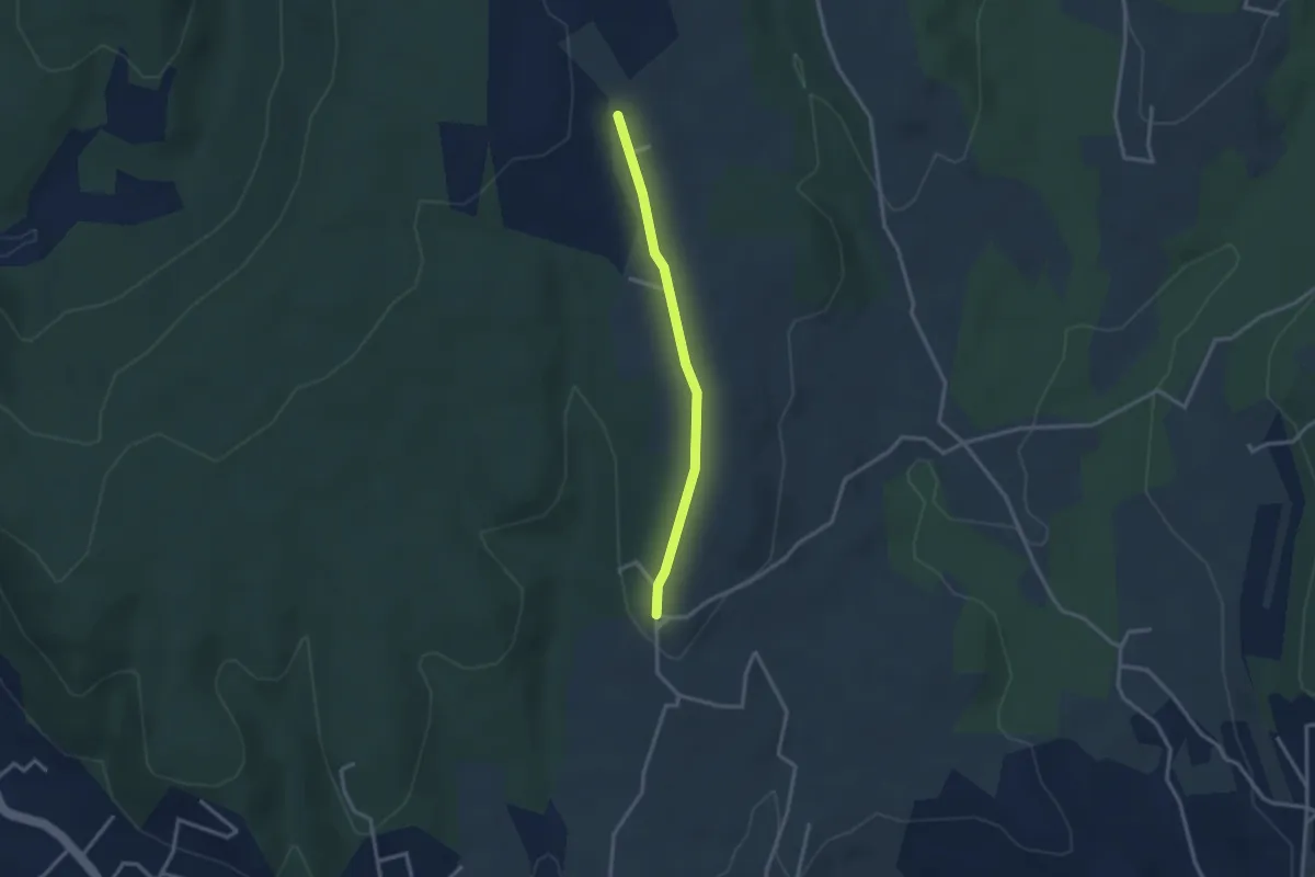
Easy · Trail
Trignan Haut - Chapelle Saint-Sulpice
2.8 km · ↑ 37 m · 44 min · 14 km away
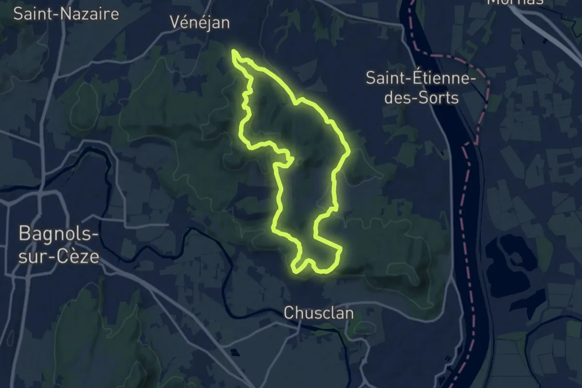
Medium · Trail
Les collines rhodaniennes
12.8 km · ↑ 259 m · 3 h 46 min · 14 km away
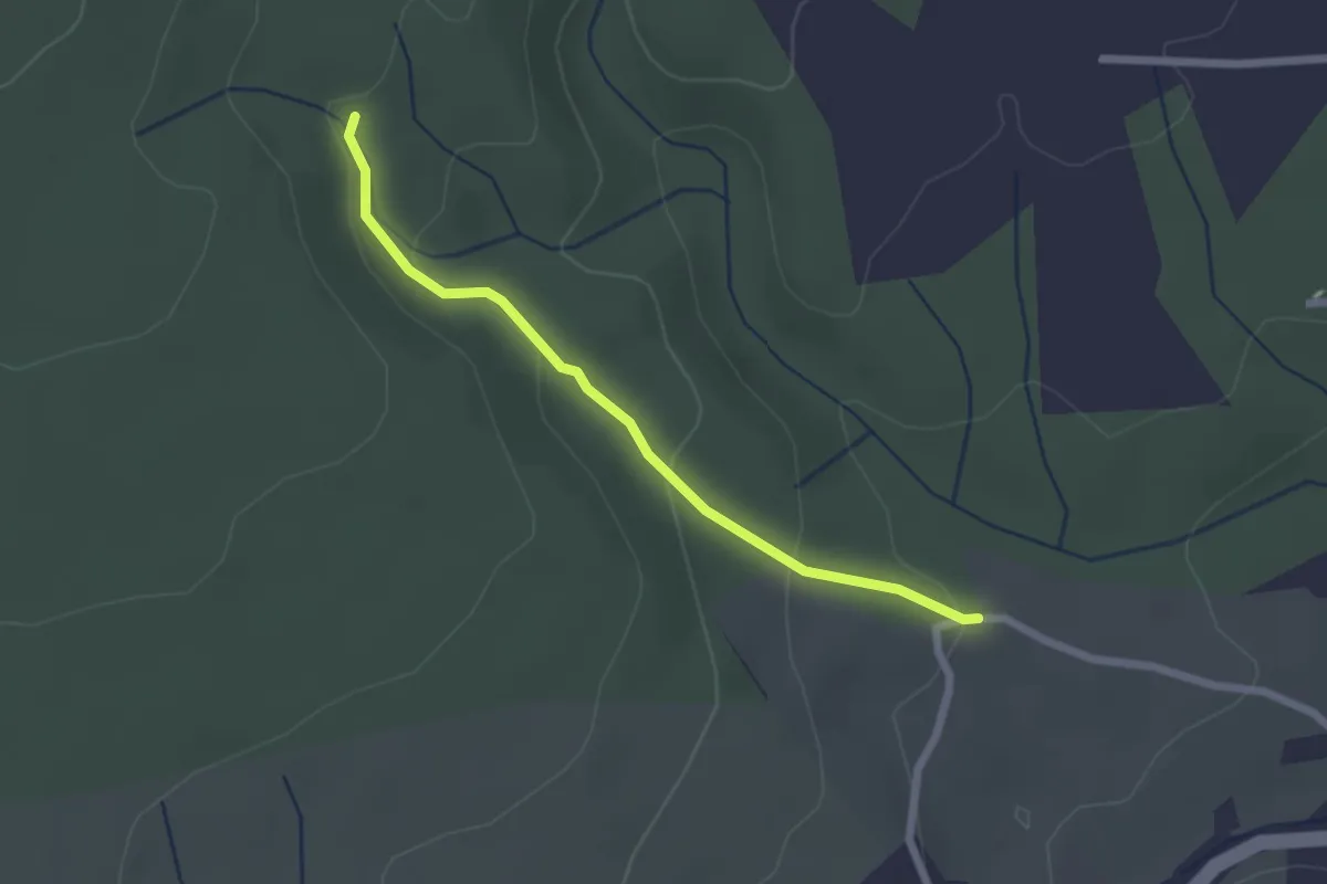
Easy · Trail
Croix de Romanet - Plaine de Mias
2.2 km · ↑ 79 m · 42 min · 14 km away
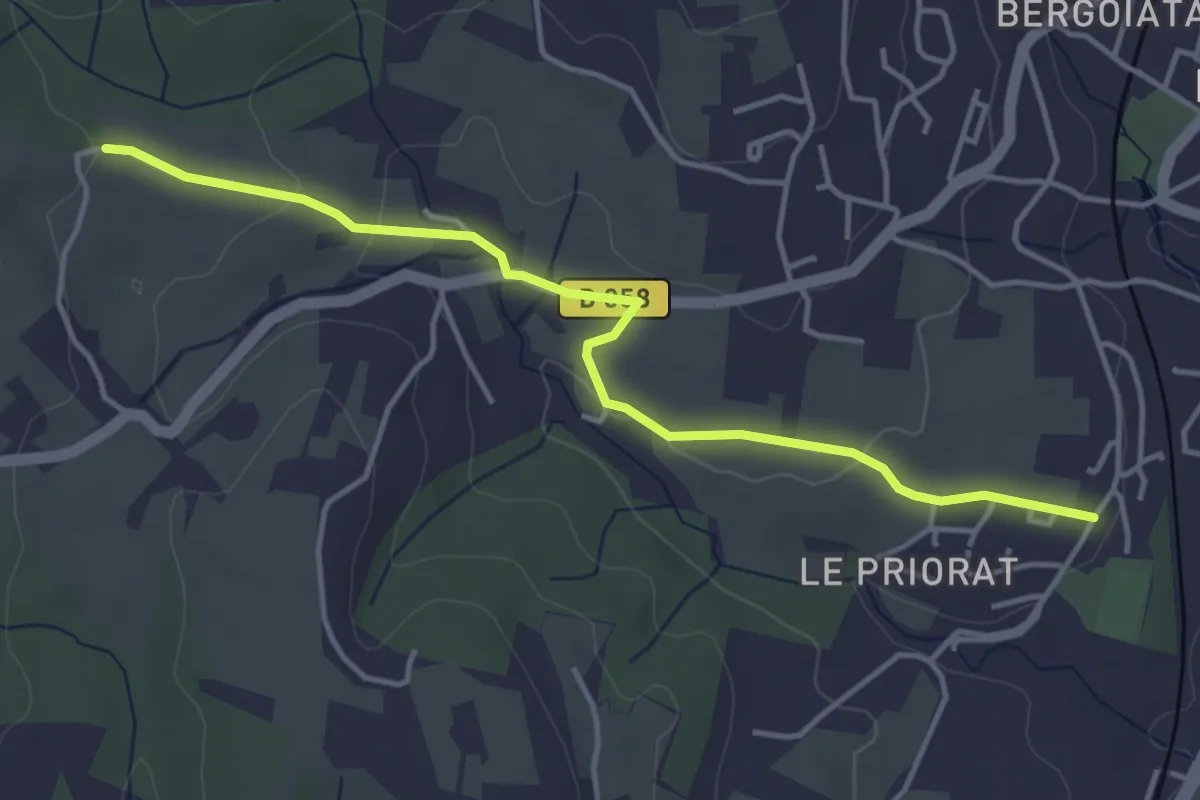
Easy · Trail
Seilloux - Croix de Romanet
4.5 km · ↑ 77 m · 1 h 14 min · 14 km away
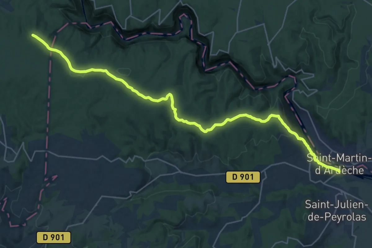
Expert · Trail
Les Vans – Saint-Martin-d'Ardèche
25.6 km · ↑ 437 m · 7 h · 15 km away
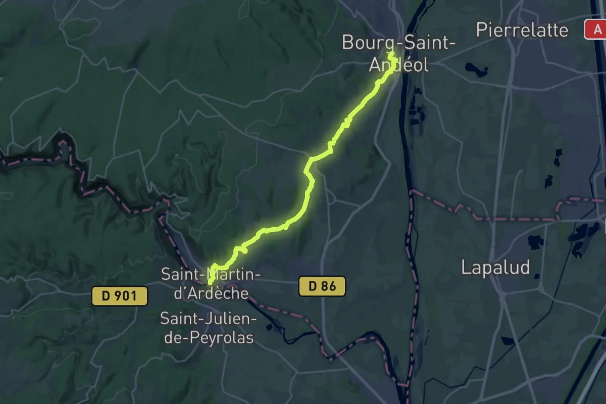
Demanding · Trail
SPHC, étape 14
25.0 km · ↑ 520 m · 7 h 1 min · 15 km away