Trails near Bourg-Saint-Maurice
48 hikes starting within 15 km, nearest first.
Nearest first
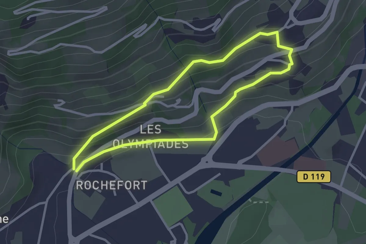
Easy · Trail
Boucle de Crousaz
2.4 km · ↑ 152 m · 56 min · 1 km away
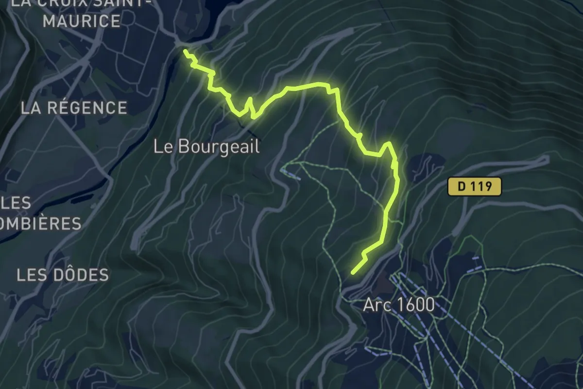
Medium · Trail
BSM <> Arc 1600 par Courbaton
7.8 km · ↑ 748 m · 3 h 27 min · 1 km away
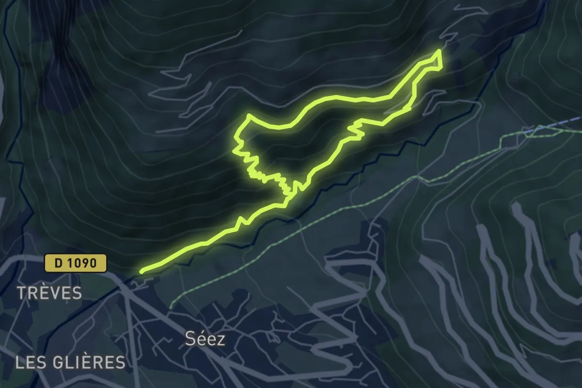
Medium · Trail
Circuit de la Comtesse Cécile
5.0 km · ↑ 521 m · 2 h 17 min · 2 km away
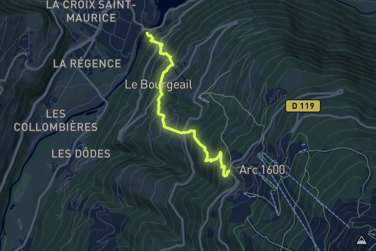
Medium · Trail
BSM <> Arc 1600 par Plan Devin
7.1 km · ↑ 756 m · 3 h 18 min · 3 km away
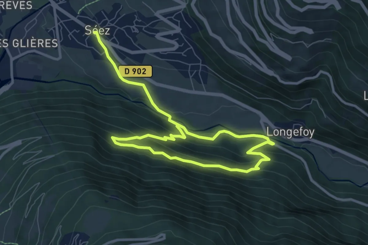
Easy · Trail
Sentier des Écureuils
5.9 km · ↑ 300 m · 2 h 6 min · 3 km away
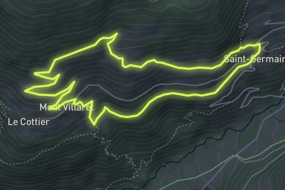
Medium · Trail
Sentier des Boëdets
5.3 km · ↑ 334 m · 2 h 3 min · 3 km away
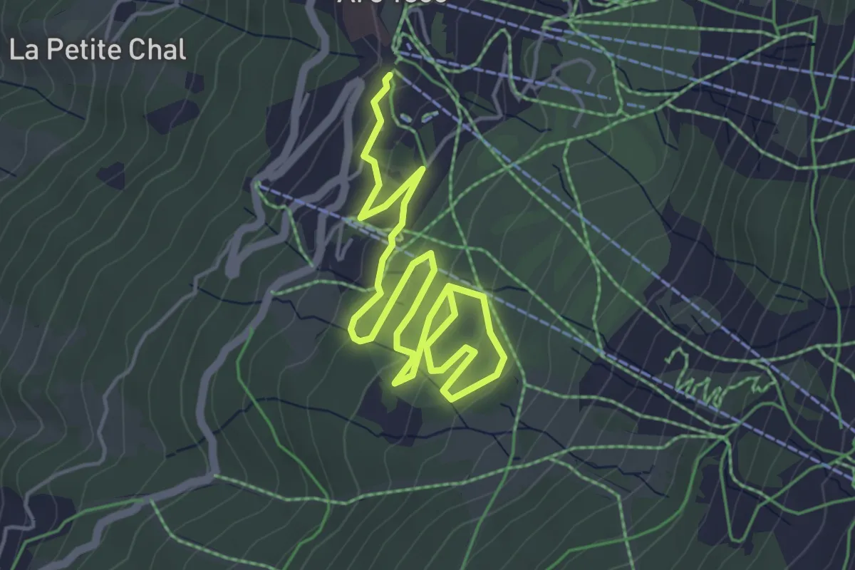
Easy · Trail
La Maïtaz
3.2 km · ↑ 138 m · 1 h 4 min · 5 km away
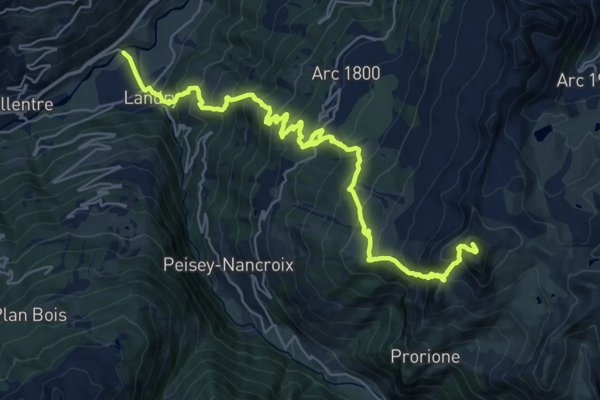
Demanding · Summit
K2 - Landry Aiguille Grive
24.7 km · ↑ 2136 m · 10 h 27 min · 5 km away
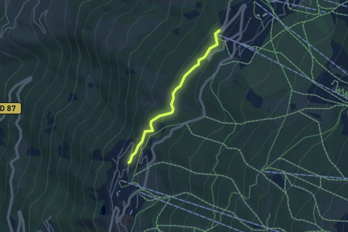
Easy · Trail
Notre-Dame des Vernettes
3.4 km · ↑ 133 m · 1 h 5 min · 6 km away
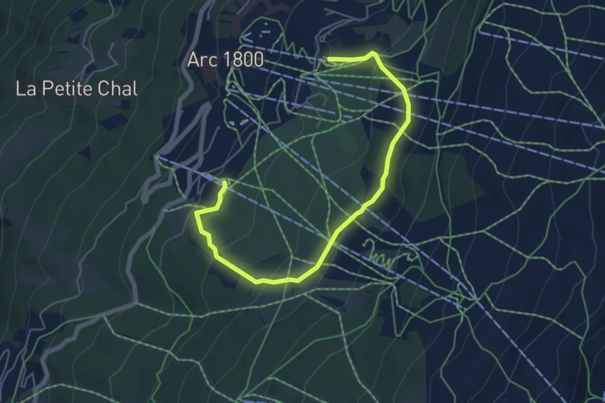
Easy · Trail
Tour du Golf
5.4 km · ↑ 252 m · 1 h 50 min · 6 km away
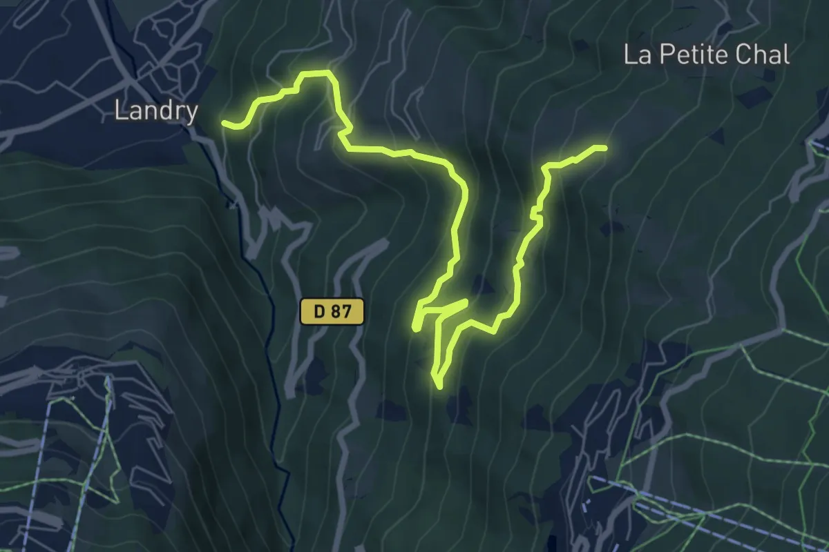
Medium · Trail
Circuit du Ragairon
4.3 km · ↑ 646 m · 2 h 10 min · 6 km away
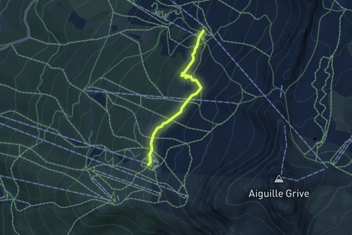
Easy · Trail
Sentier de l'Homme Cairn
3.6 km · ↑ 152 m · 1 h 10 min · 7 km away
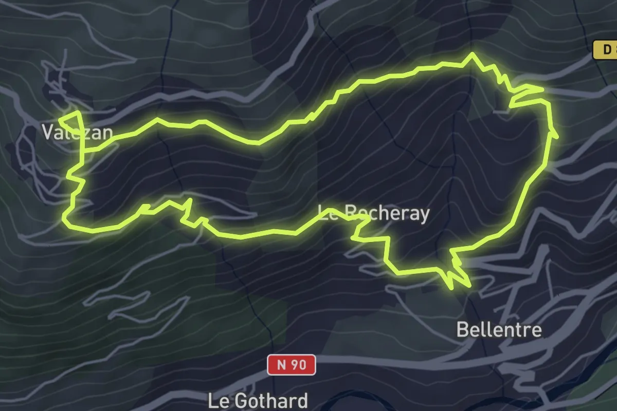
Medium · Trail
Sentier de Cyprien
6.1 km · ↑ 431 m · 2 h 27 min · 7 km away
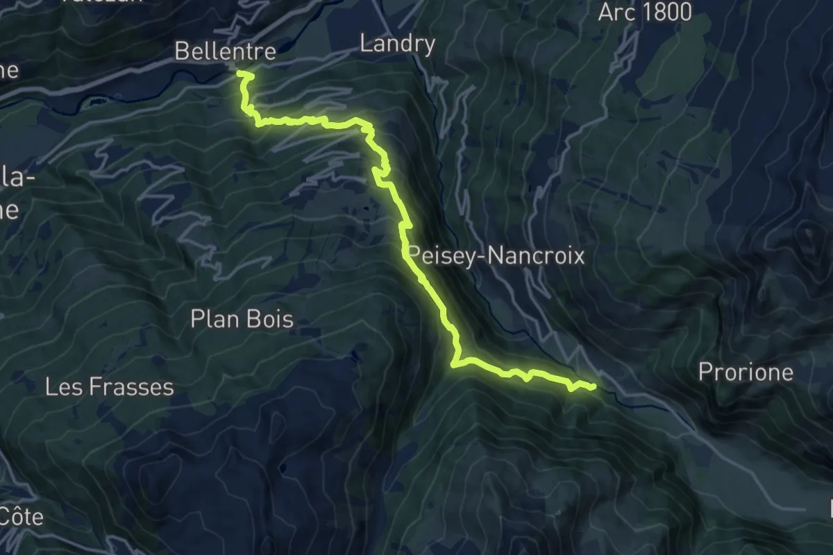
Demanding · Trail
Grande Traversée des Alpes - variante Montchavin (ancien tracé principal)
17.3 km · ↑ 1382 m · 7 h 5 min · 7 km away
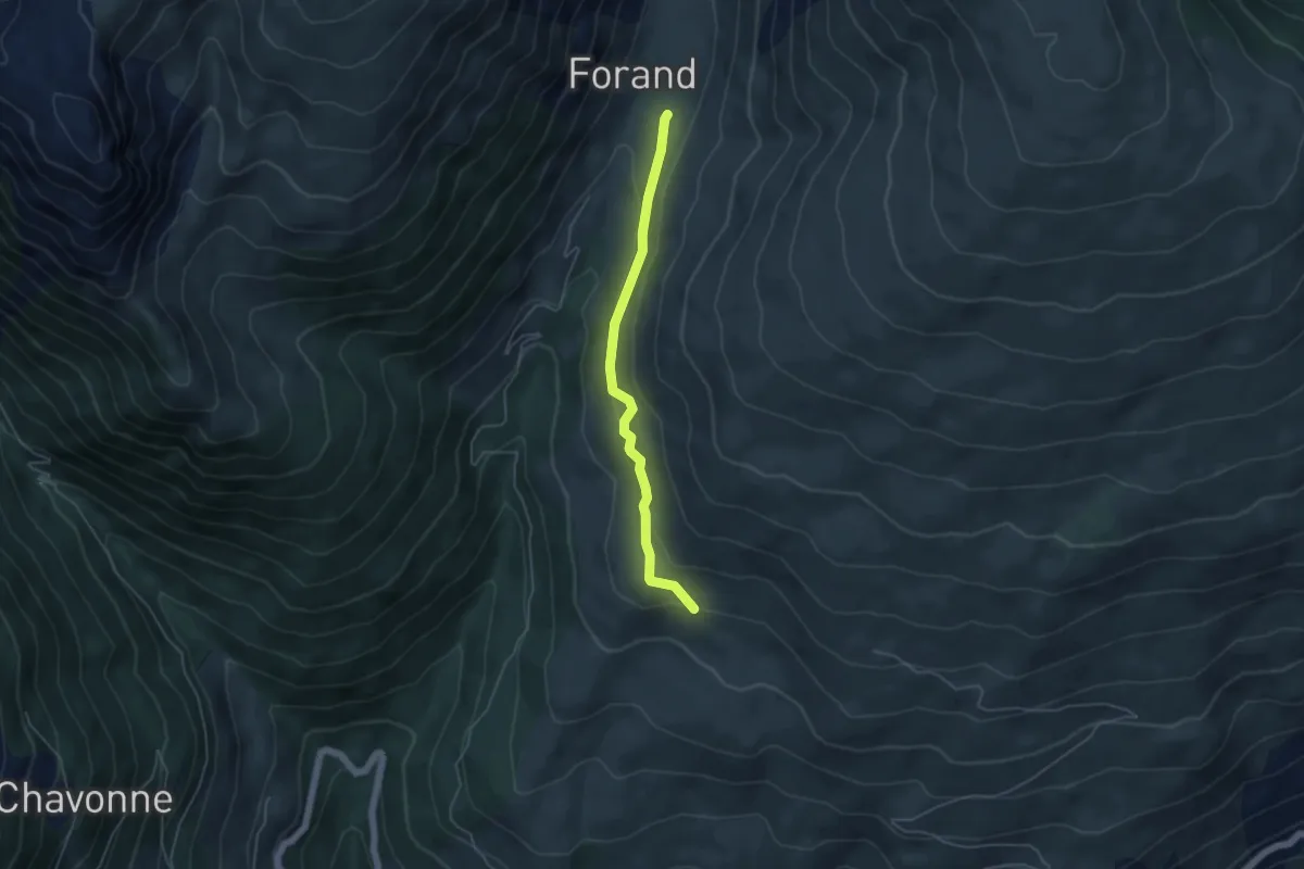
Medium · Trail
GR 5 Alpes Côte d'Azur Variant Canal des Chapelles
4.5 km · ↑ 155 m · 1 h 24 min · 8 km away
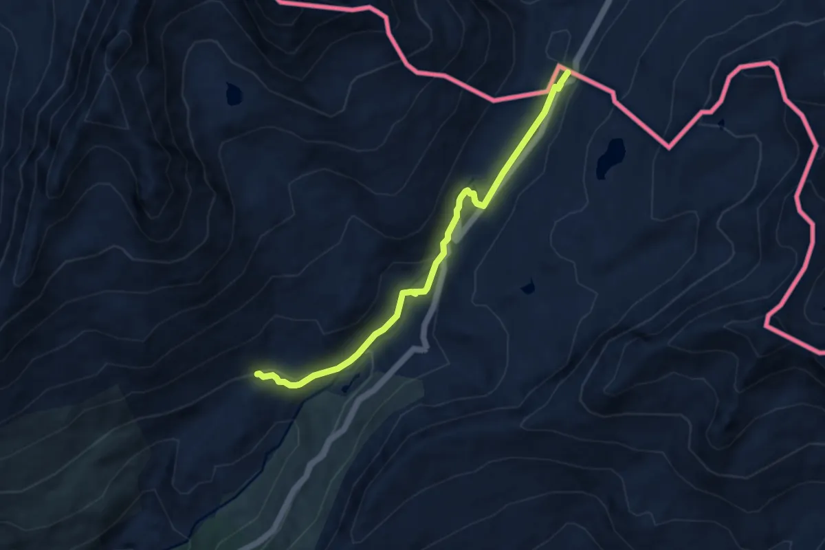
Medium · Trail
Chemin de Szombathely, Col du Petit Saint-Bernard - Moûtiers
7.5 km · ↑ 224 m · 2 h 16 min · 8 km away
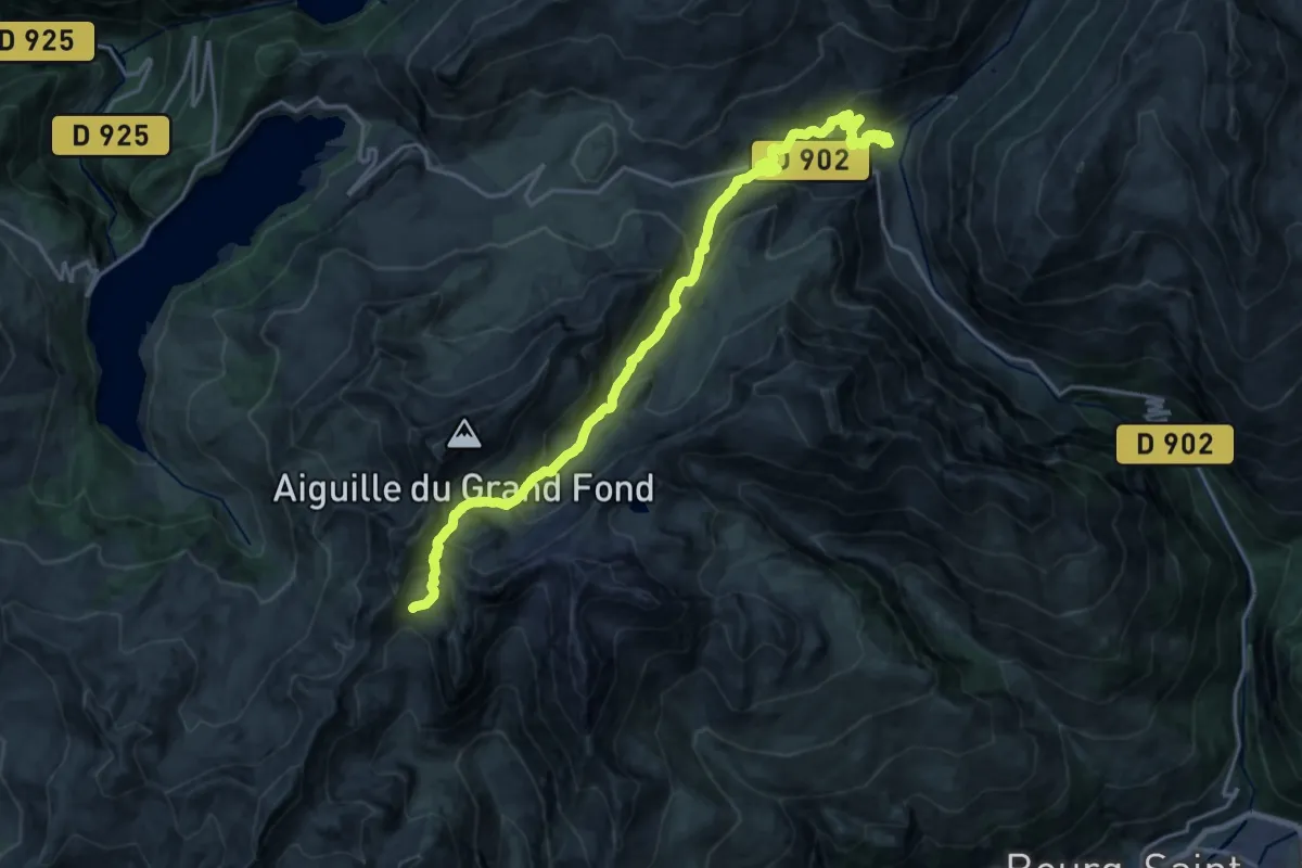
Demanding · Cabin
Grand Tour de Tarentaise 3. Refuge de Presset -> Les Chapieux
10.7 km · ↑ 1154 m · 4 h 42 min · 9 km away
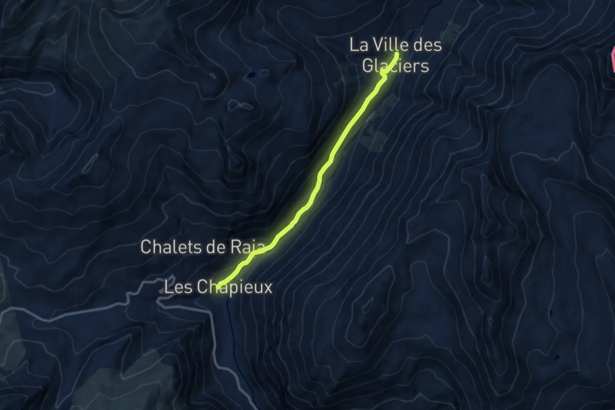
Medium · Trail
Les Chapieux – La Ville des Glaciers
9.1 km · ↑ 303 m · 2 h 48 min · 9 km away
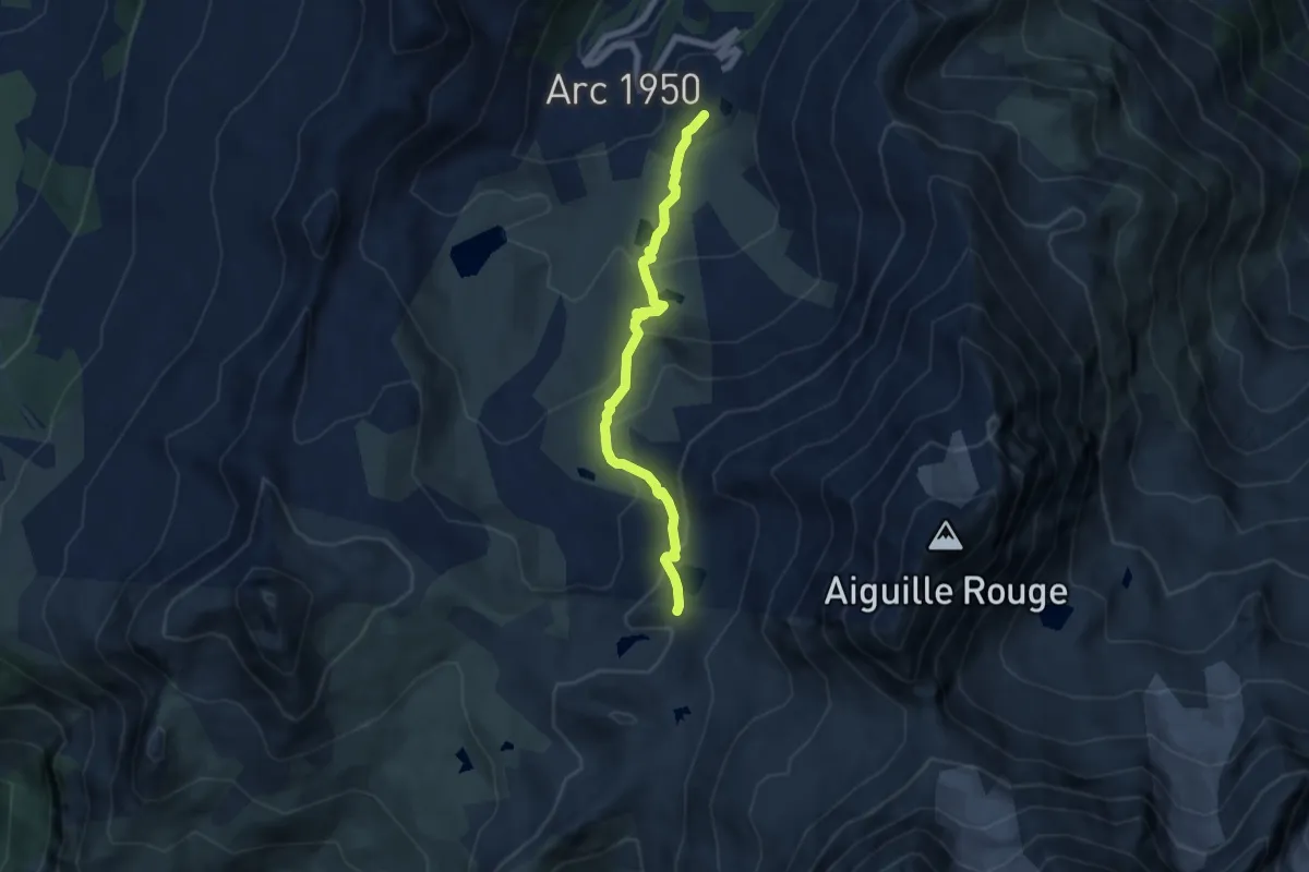
Medium · Trail
Sentier des lacs
6.4 km · ↑ 391 m · 2 h 21 min · 9 km away
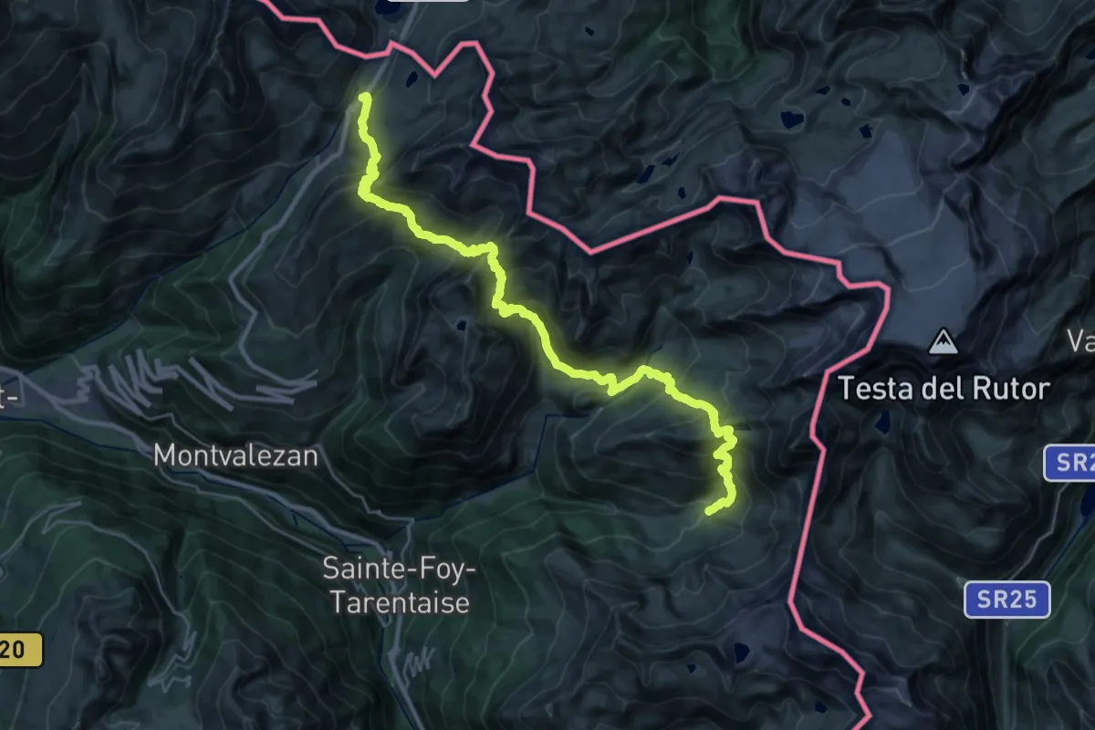
Demanding · Cabin
Grand Tour de Tarentaise - 1. Traversée du col du Petit-Saint-Bernard -> L'Archeboc
16.7 km · ↑ 1193 m · 6 h 49 min · 10 km away
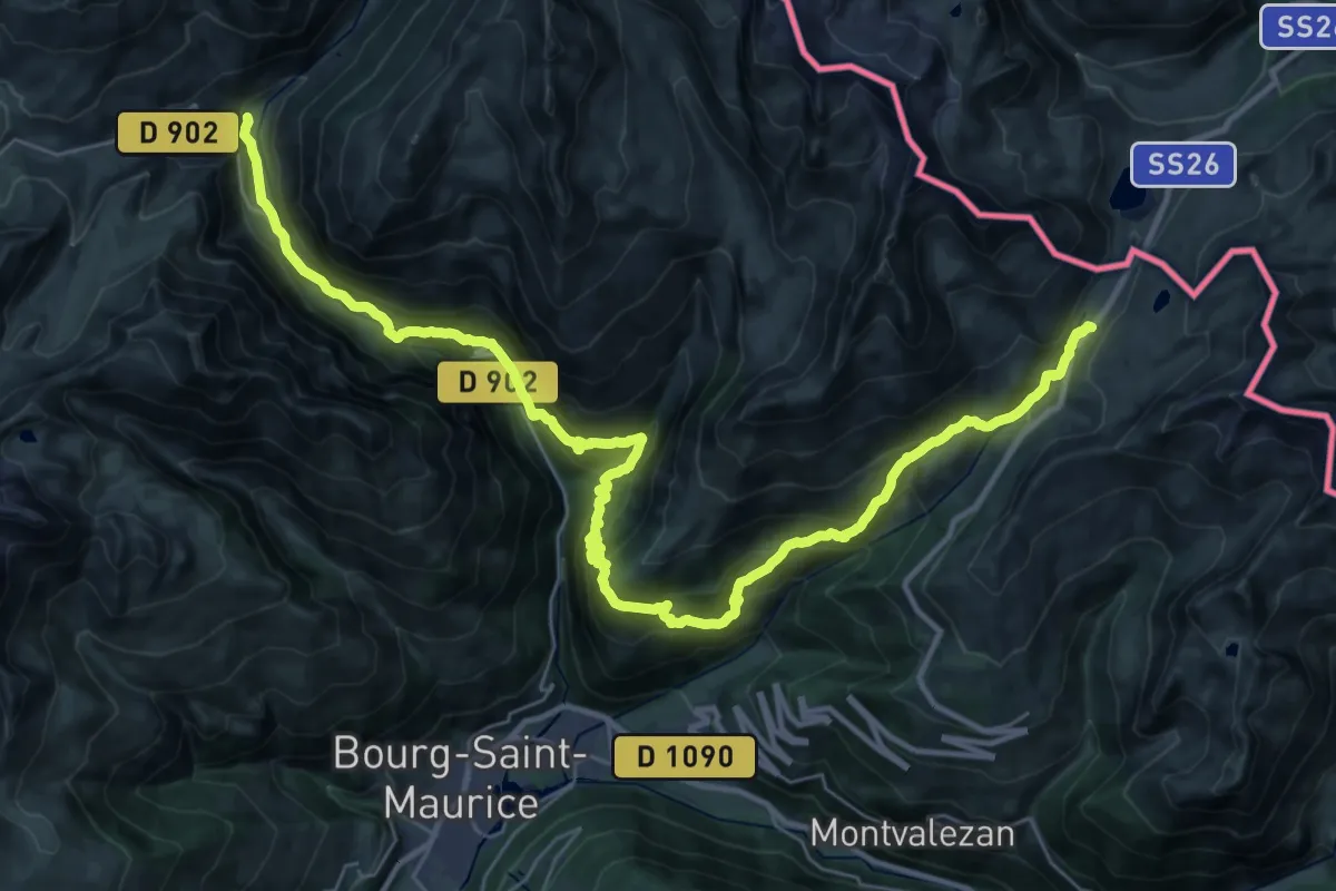
Demanding · Trail
Grand Tour de Tarentaise - Traversée Les Chapieux -> Col du Petit Saint-Bernard
20.7 km · ↑ 1084 m · 7 h 50 min · 10 km away
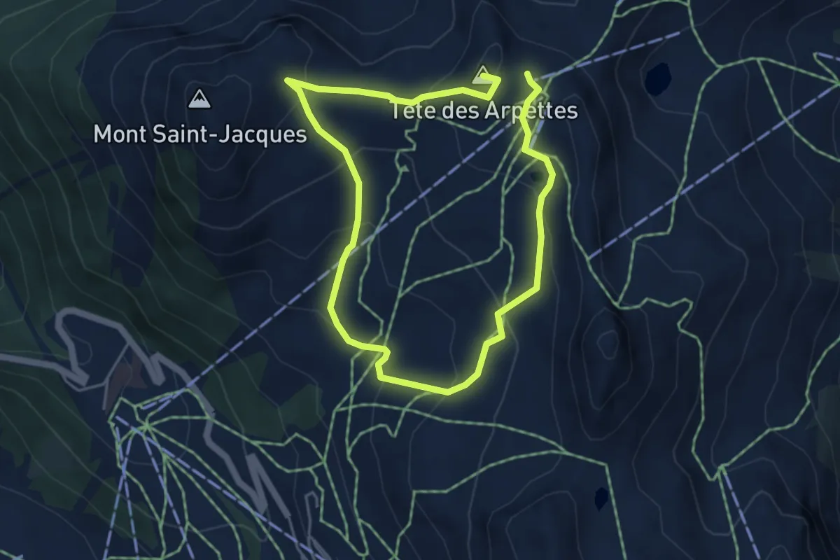
Medium · Summit
Boucle du Carroley
7.7 km · ↑ 465 m · 2 h 50 min · 11 km away
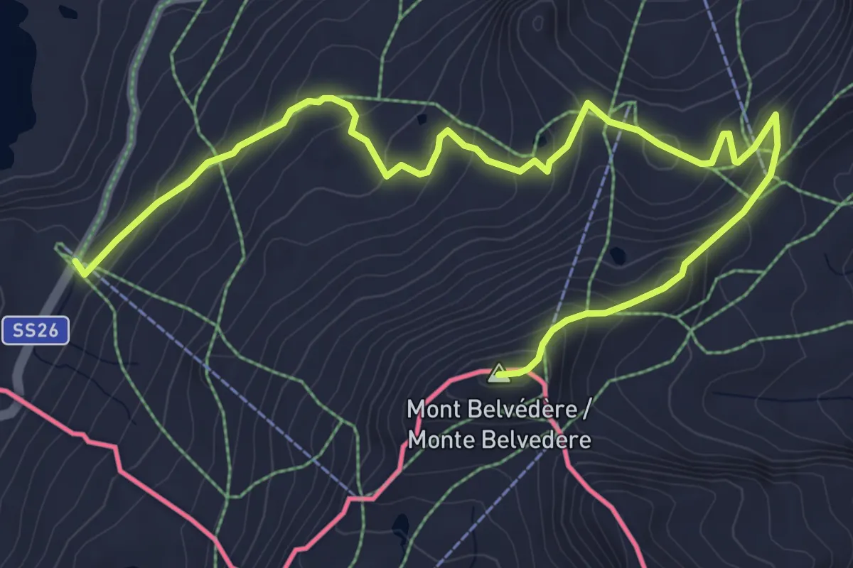
Medium · Summit
Colle Piccolo San Bernardo – Mont-Belvedere (confine di stato)
7.8 km · ↑ 436 m · 2 h 48 min · 12 km away
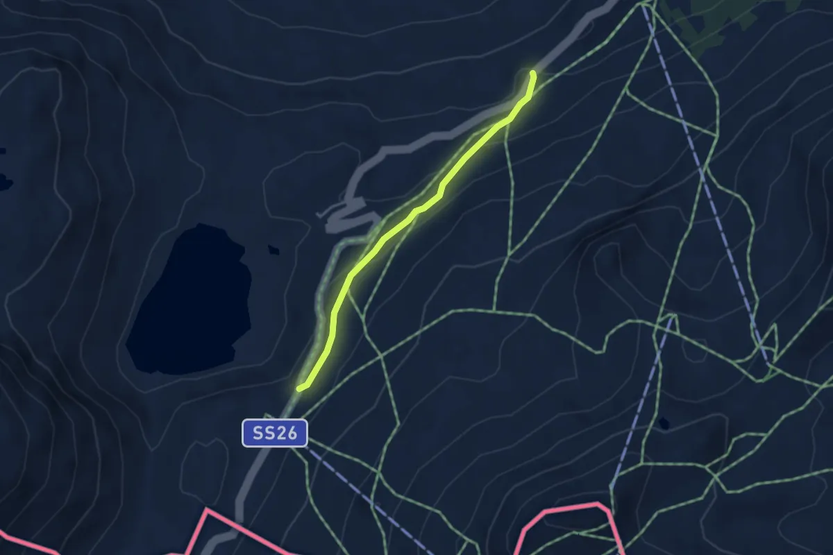
Easy · Trail
Bivio Vallone des Chavannes – Colle del Piccolo San Bernardo
3.2 km · ↑ 138 m · 1 h 3 min · 12 km away
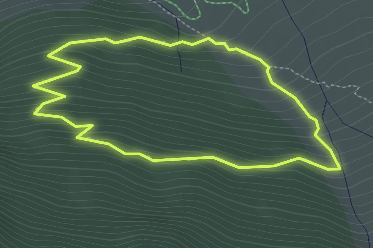
Medium · Trail
sentier découverte
2.4 km · ↑ 157 m · 56 min · 12 km away
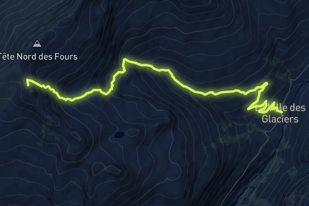
Demanding · Summit
Col de la Croix du Bonhomme – La Ville des Glaciers
11.0 km · ↑ 885 m · 4 h 31 min · 12 km away
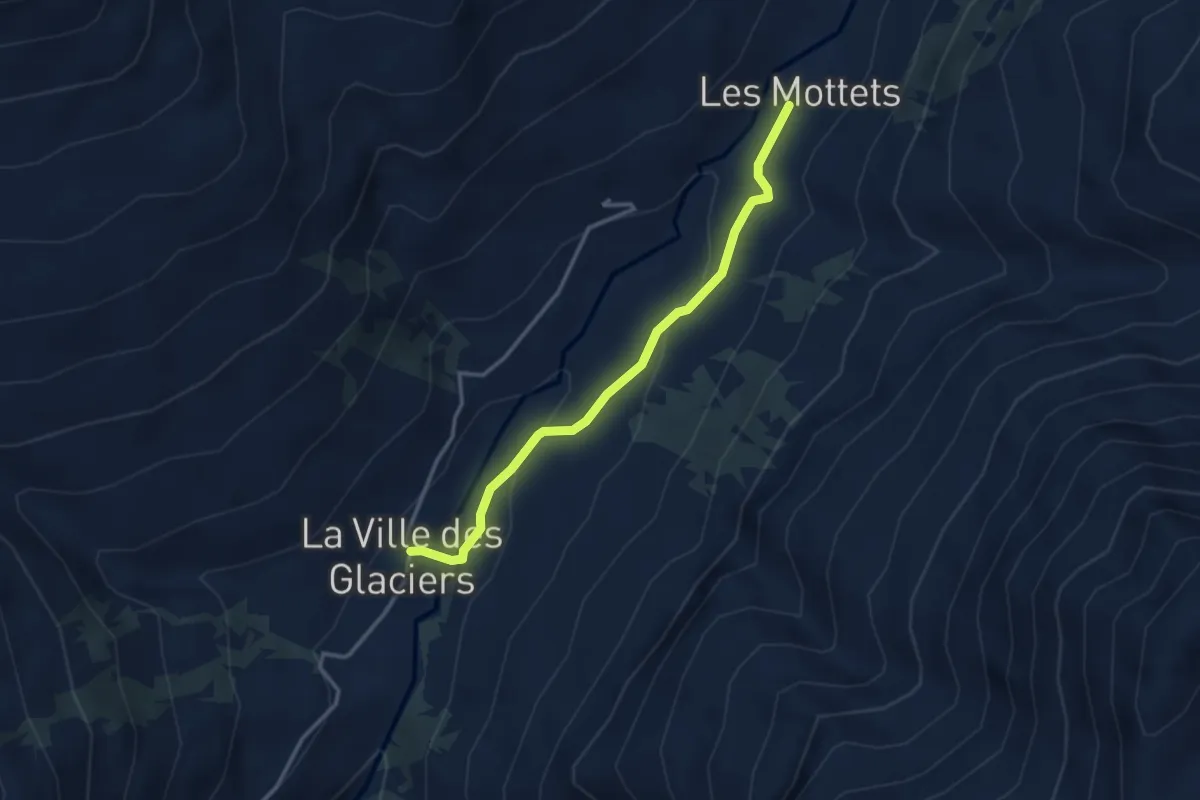
Medium · Cabin
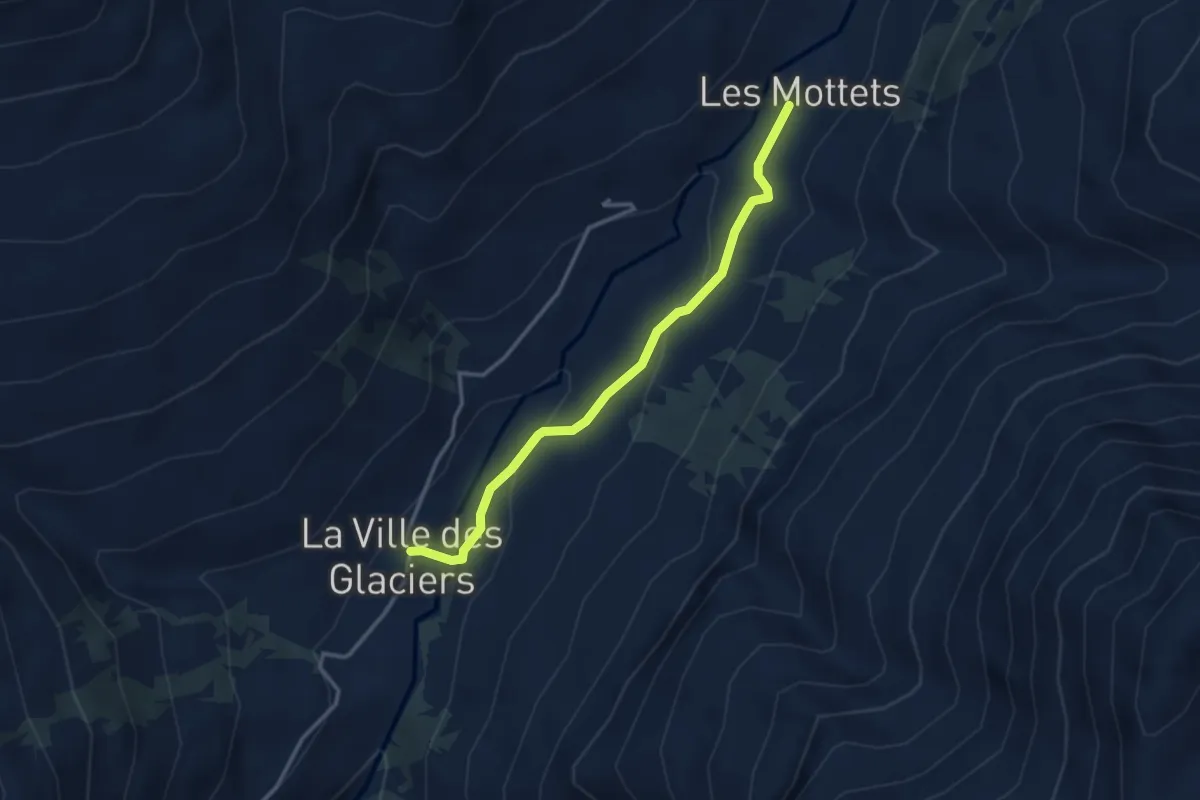
La Ville des Glaciers – Refuge des Mottets
3.2 km · ↑ 97 m · 57 min · 12 km away
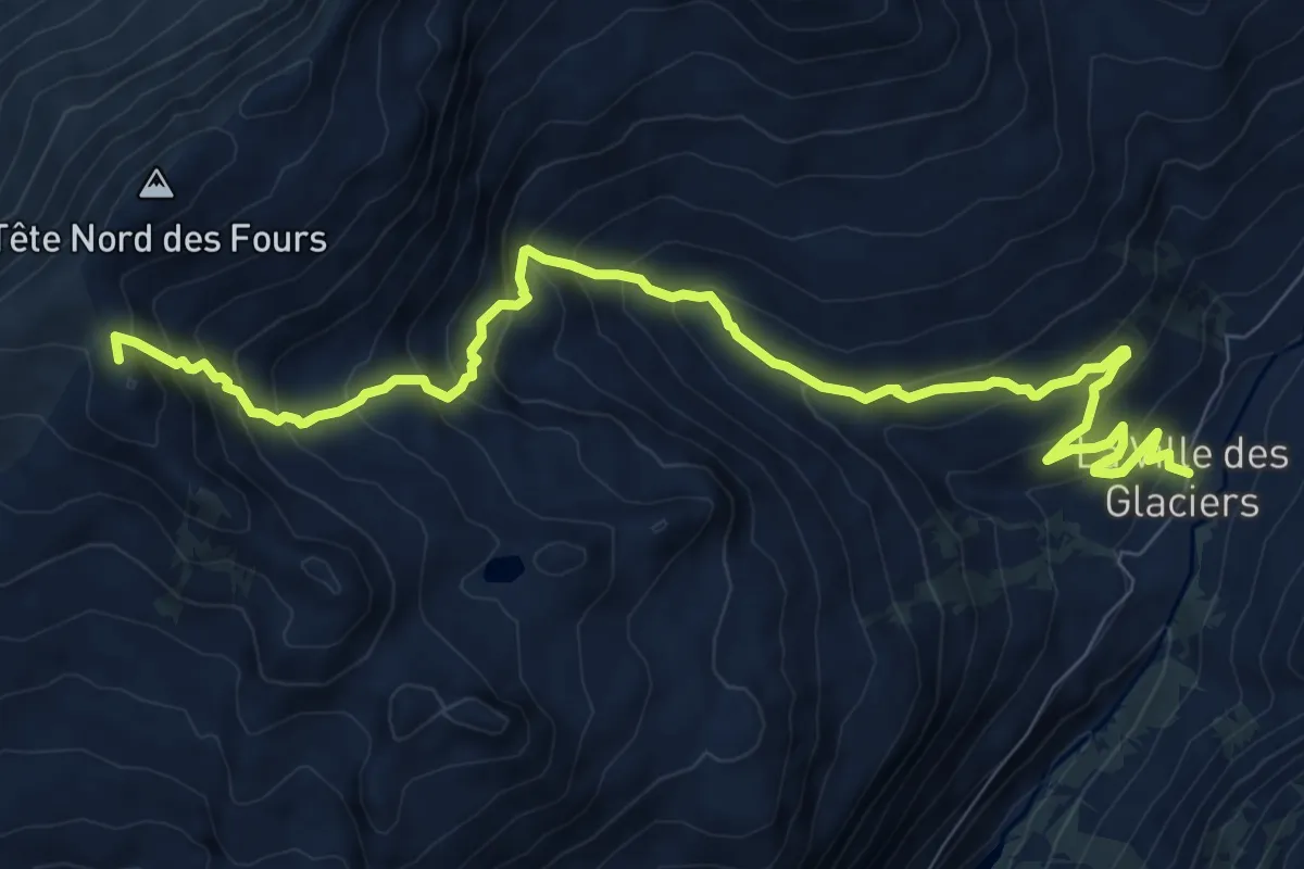
Demanding · Summit
Tour Du Mont Blanc - Variante du Col des Fours
11.0 km · ↑ 885 m · 4 h 31 min · 12 km away
Medium · Cabin
La Ville des Glaciers – Refuge des Mottets
3.2 km · ↑ 97 m · 57 min · 12 km away
Demanding · Trail
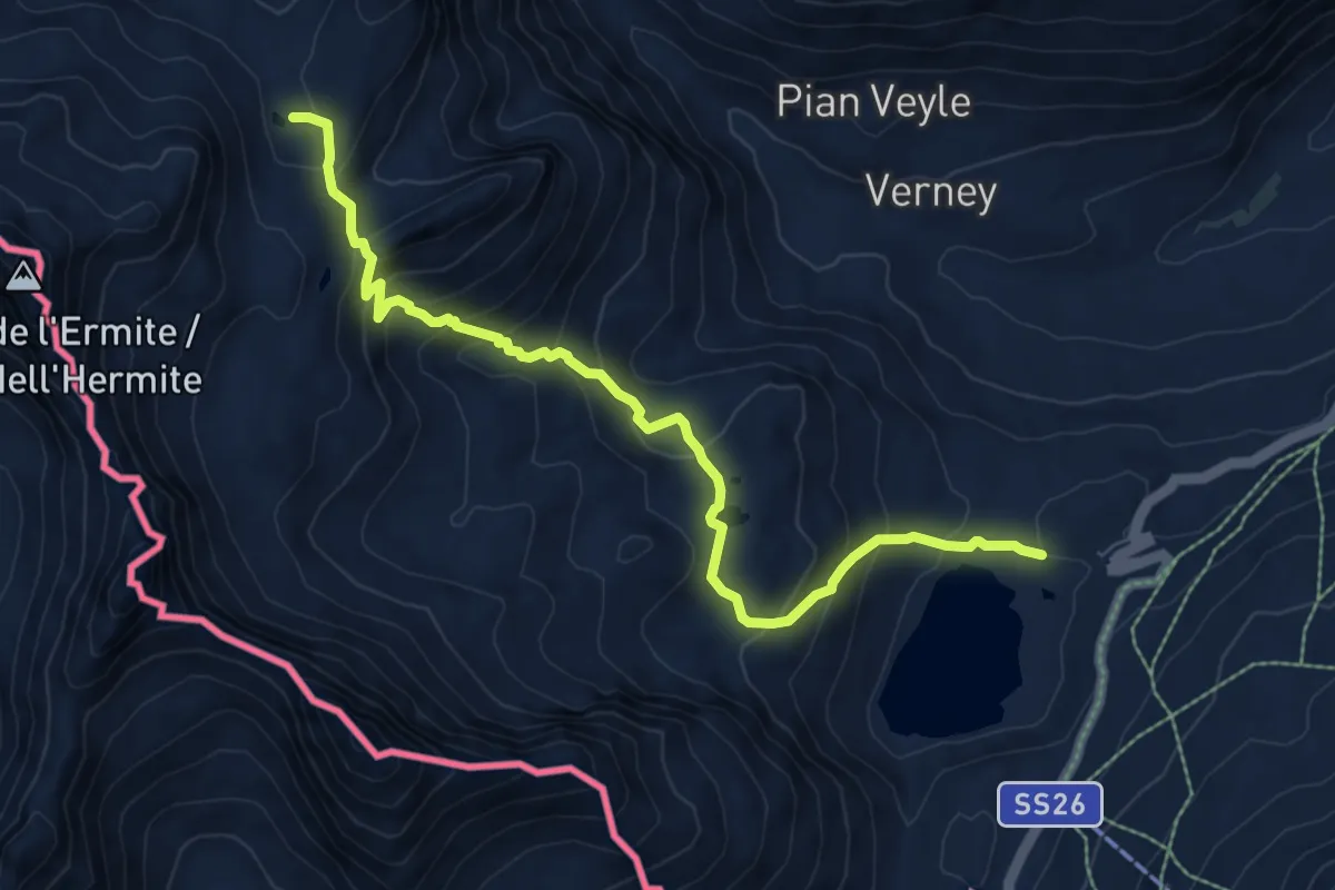
Strada Piccolo San Bernardo (parch.Lac Verney) - Lacs de la Pointe Rousse
8.5 km · ↑ 628 m · 3 h 22 min · 12 km away
Demanding · Trail
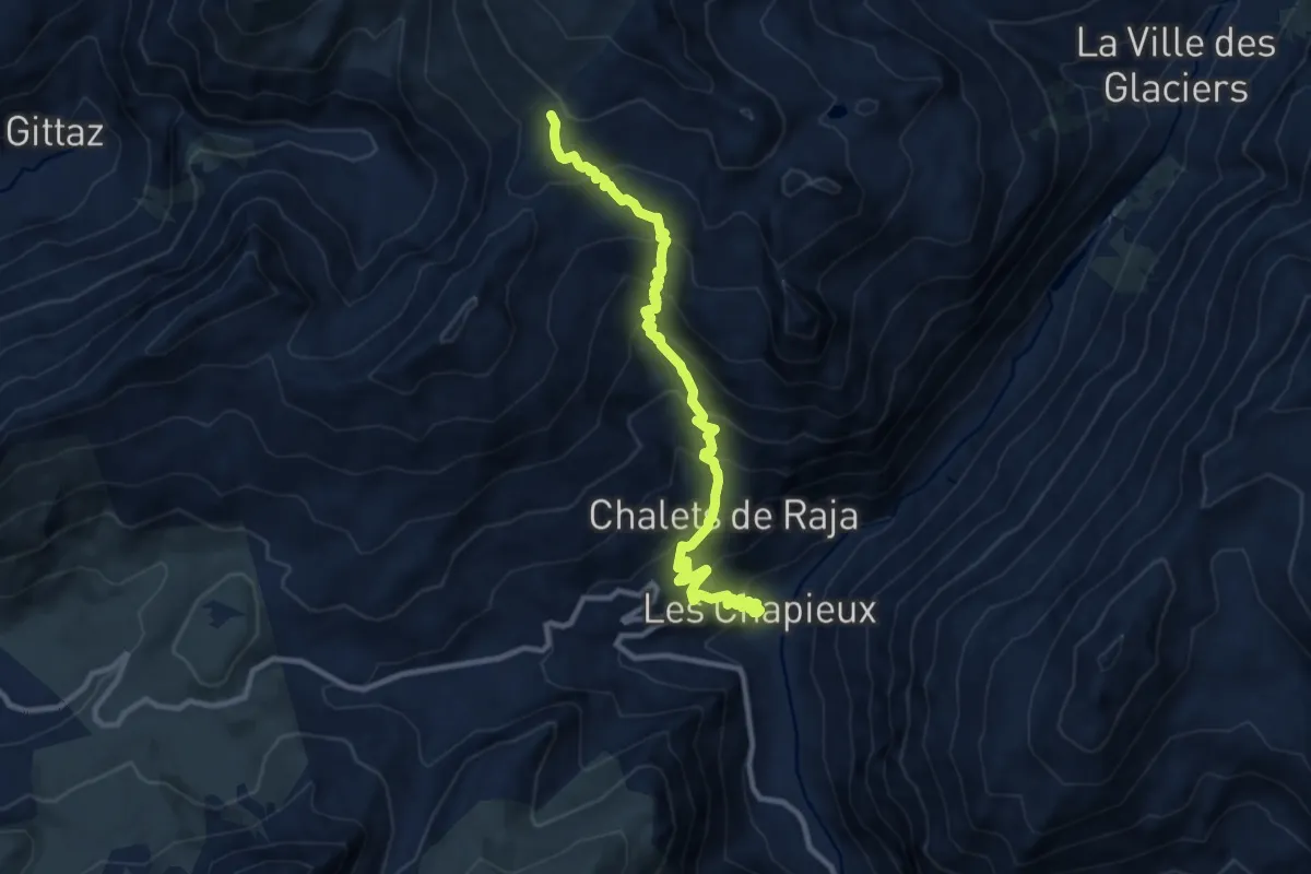
Col de la Croix du Bonhomme – Les Chapieux
11.0 km · ↑ 933 m · 4 h 37 min · 12 km away
Medium · Trail
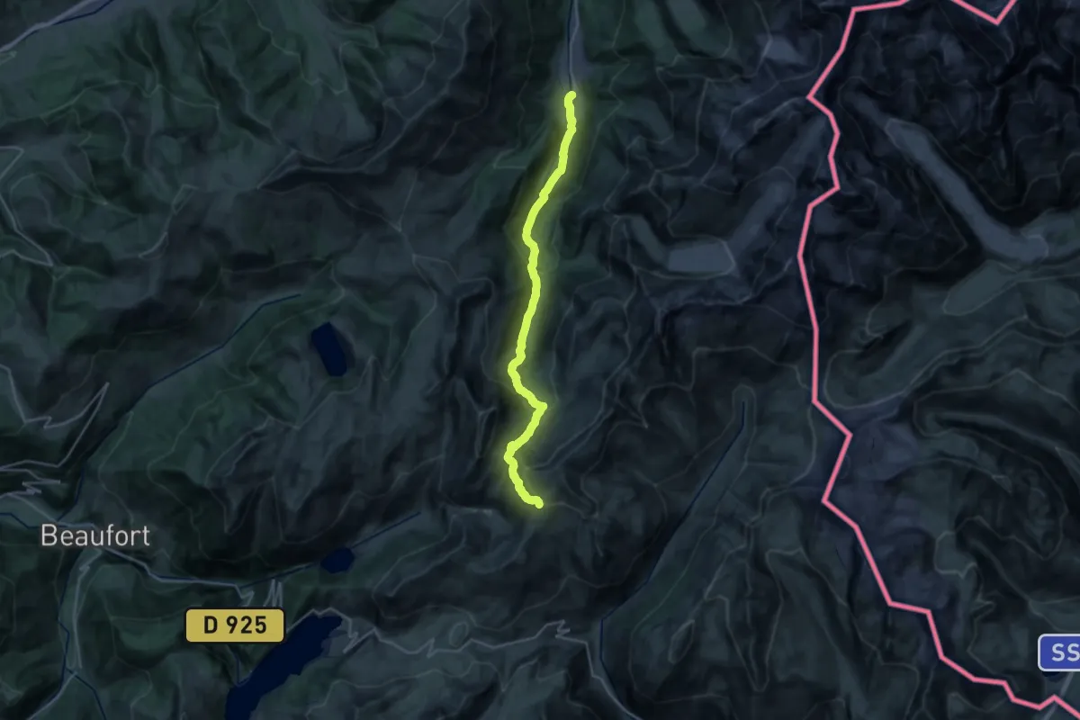
Les Contamines – Col de la Croix du Bonhomme
12.5 km · ↑ 48 m · 3 h 54 min · 12 km away
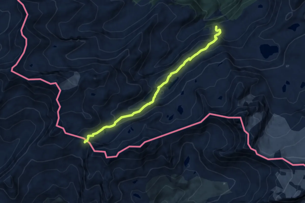
Demanding · Trail
Percorso 3 – Col Louie Blanche
9.3 km · ↑ 496 m · 3 h 16 min · 12 km away
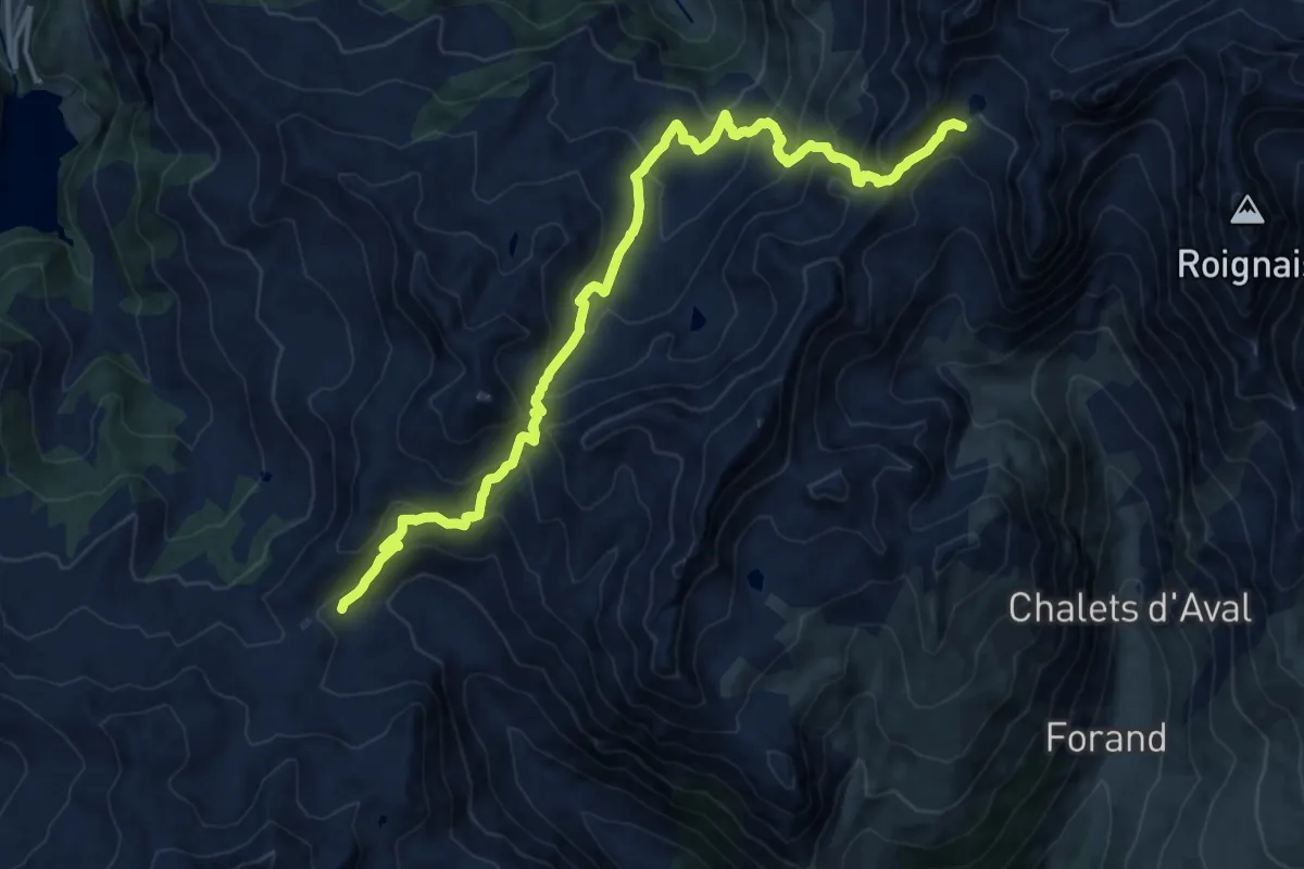
Demanding · Cabin
Grand Tour de Tarentaise 2. La Coire -> Refuge de Presset
16.3 km · ↑ 1224 m · 6 h 30 min · 13 km away
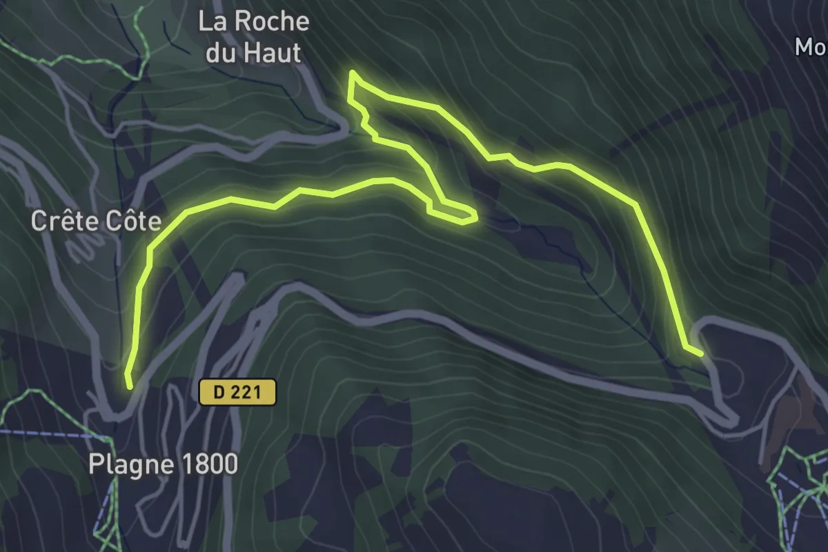
Medium · Trail
Boucle du Cavard
6.0 km · ↑ 363 m · 2 h 12 min · 13 km away
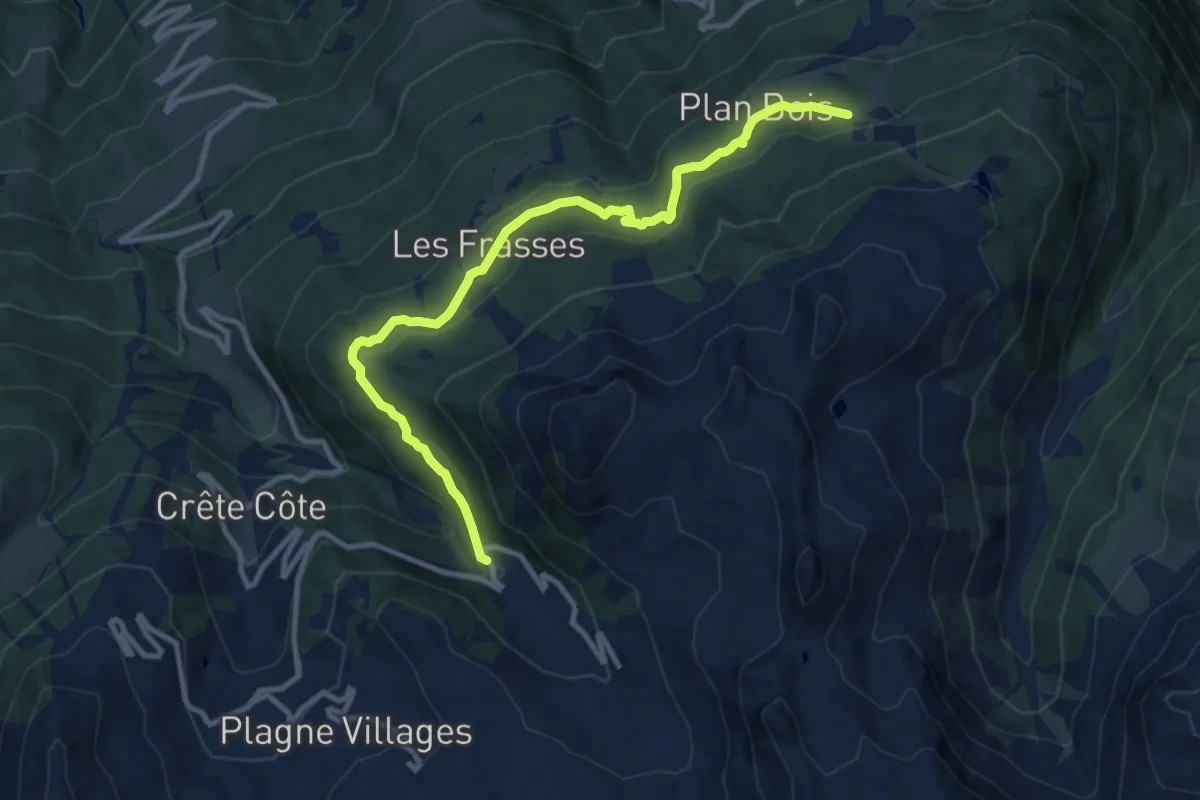
Medium · Trail
Les Frasses
11.3 km · ↑ 453 m · 3 h 39 min · 13 km away
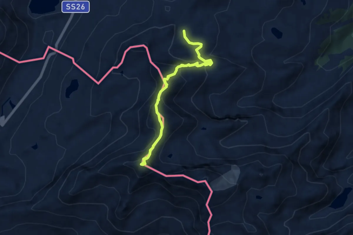
Expert · Summit
Col de la Fouclaz – Mont-Valaisan
7.6 km · ↑ 632 m · 3 h 10 min · 13 km away
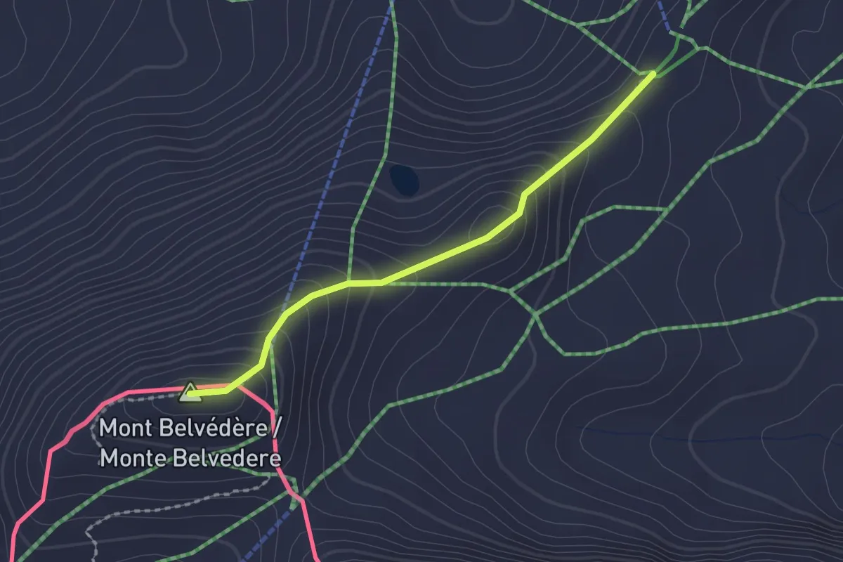
Easy · Summit
Souches – Mont-Belvedere
1.8 km · ↑ 144 m · 44 min · 13 km away
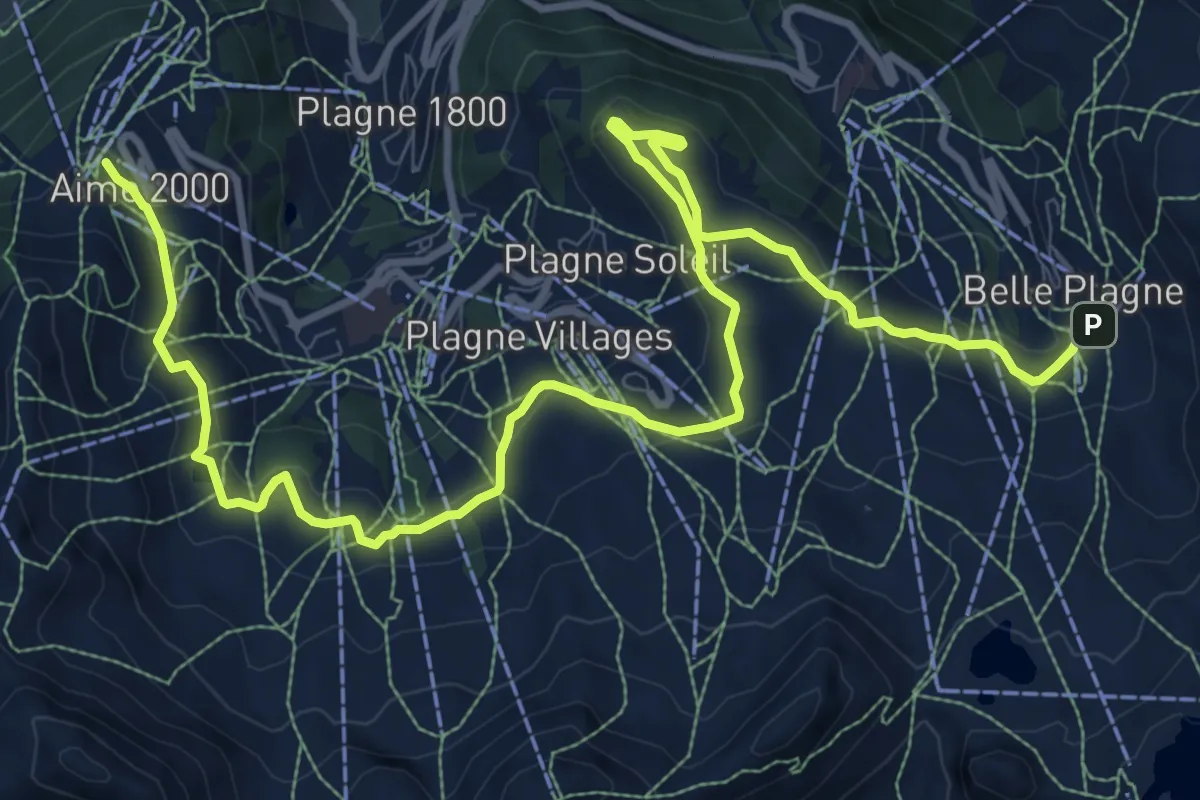
Medium · Trail
Route Balcon
14.6 km · ↑ 396 m · 4 h 18 min · 13 km away
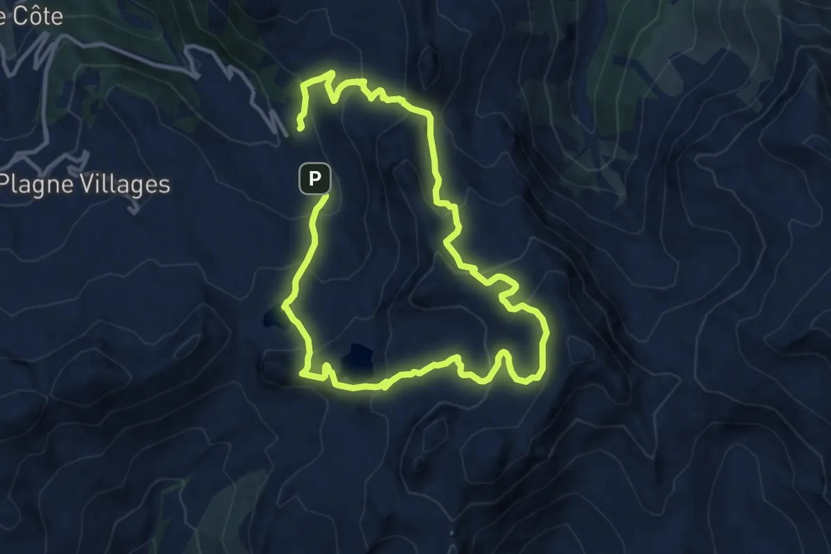
Demanding · Trail
Boucle de Roche de Mio
19.2 km · ↑ 1107 m · 6 h 55 min · 13 km away
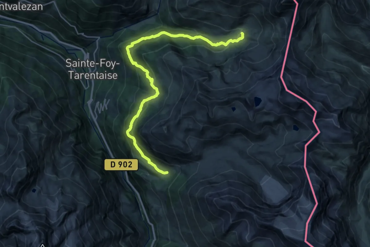
Medium · Cabin
Grand Tour de Tarentaise - 2. Refuge de l'Archeboc -> Le Monal
12.3 km · ↑ 710 m · 4 h 33 min · 14 km away
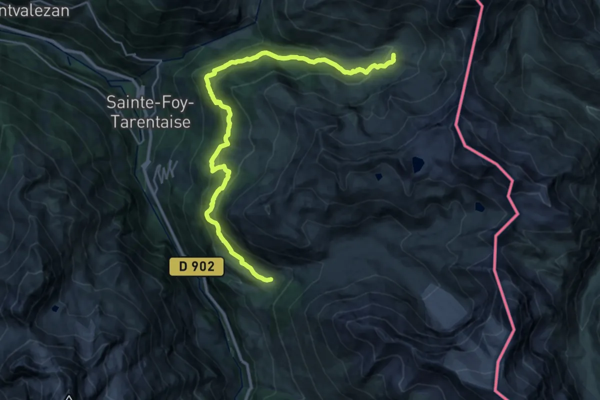
Medium · Cabin
Via Alpina Red R120
12.2 km · ↑ 681 m · 4 h 26 min · 14 km away
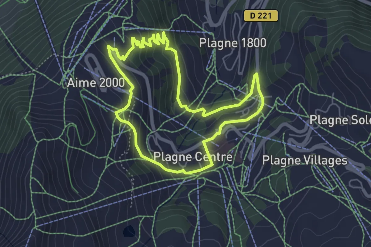
Easy · Trail
Le Lac Vert
4.5 km · ↑ 197 m · 1 h 33 min · 14 km away
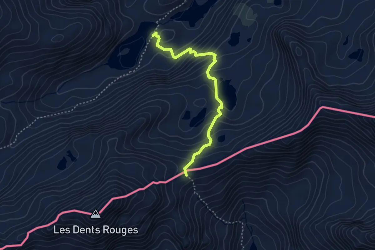
Demanding · Trail
Laghi di Bellacomba – Col Tachuy
3.5 km · ↑ 314 m · 1 h 30 min · 14 km away
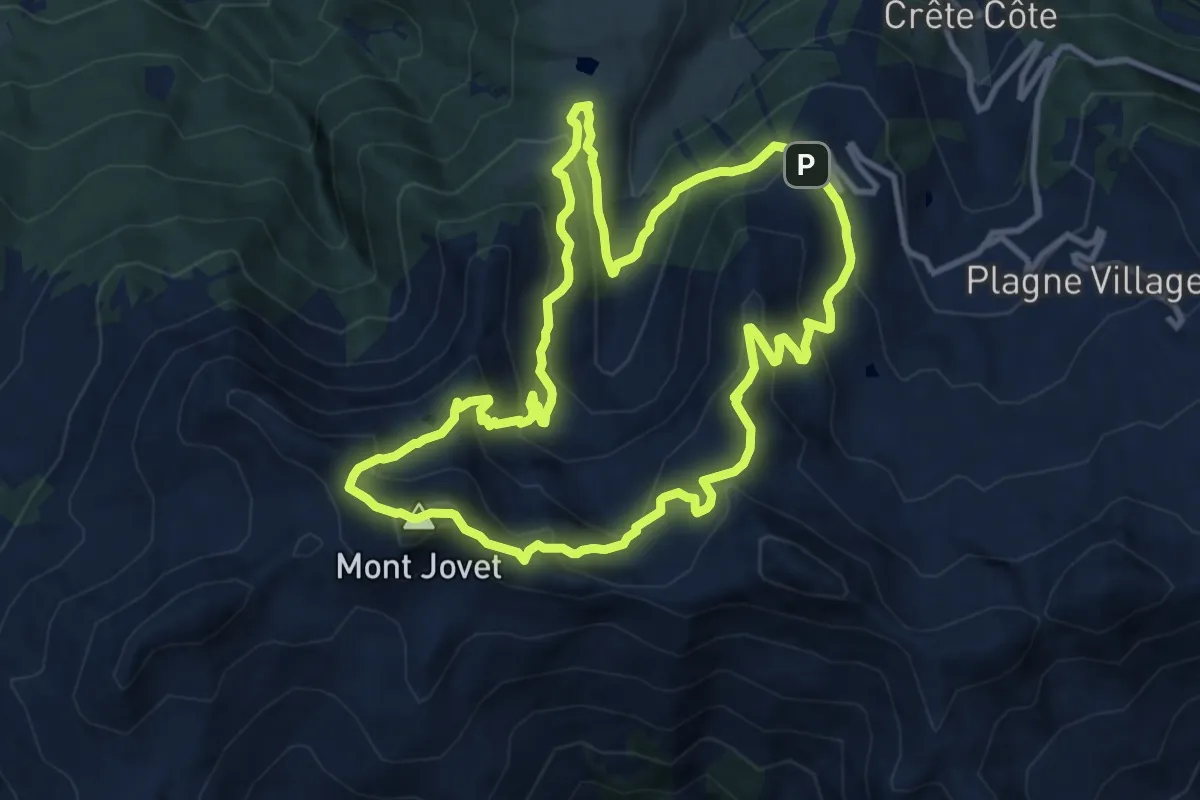
Medium · Summit
Le Mont Jovet
11.0 km · ↑ 728 m · 4 h 20 min · 14 km away
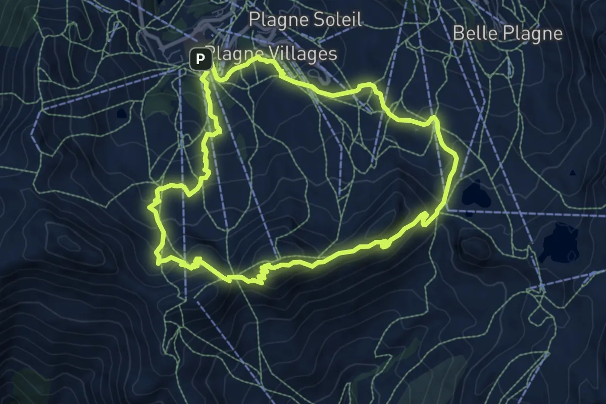
Medium · Summit
Sentier Découverte Grande Rochette
9.0 km · ↑ 535 m · 3 h 24 min · 15 km away
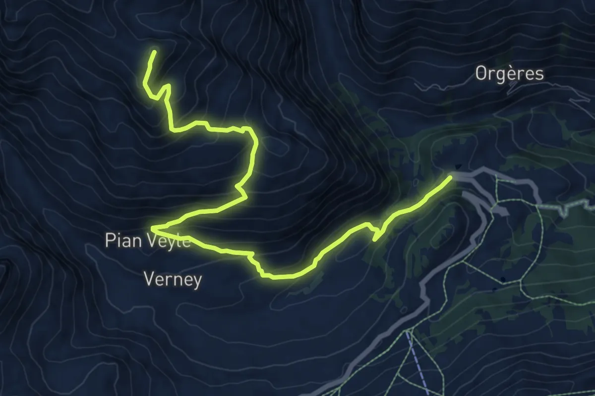
Expert · Summit
Strada Piccolo San Bernardo (tornante quota 1861) – Laityre
12.0 km · ↑ 872 m · 4 h 43 min · 15 km away
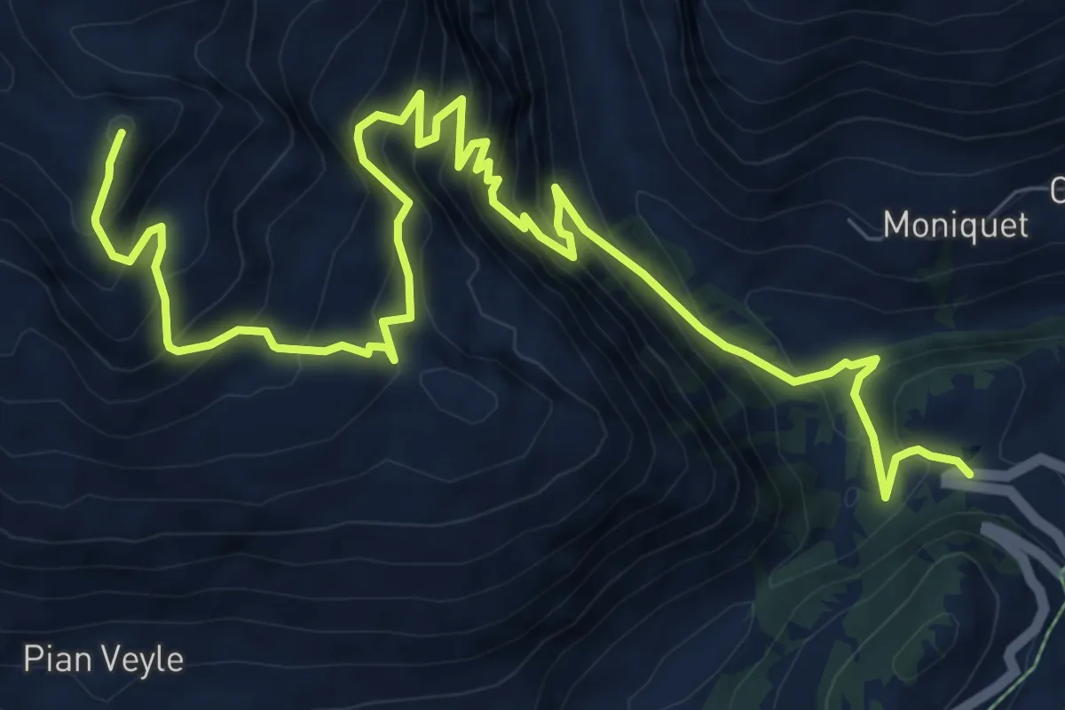
Expert · Summit
Strada Piccolo San Bernardo (tornante quota1861) – Laityre
12.0 km · ↑ 1197 m · 5 h 26 min · 15 km away