Trails near Brignais
27 hikes starting within 15 km, nearest first.
Nearest first
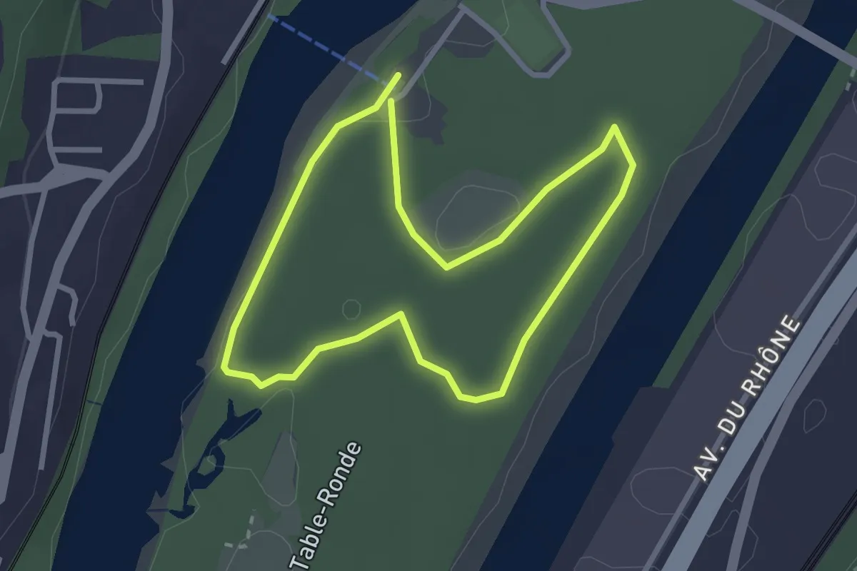
Easy · Trail
Sentier de l'Homme et du Fleuve
2.4 km · ↑ 10 m · 38 min · 6 km away
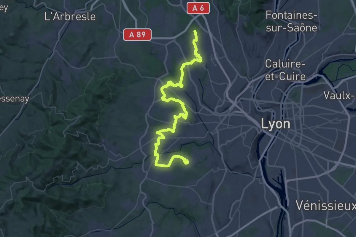
Demanding · Trail
Tour de Lyon, du Fort du Bruissin au Fort du Paillet
25.6 km · ↑ 397 m · 7 h 13 min · 6 km away
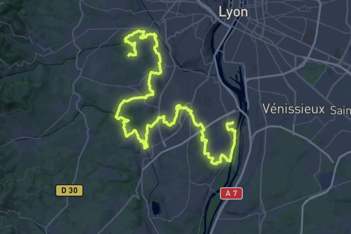
Demanding · Trail
Tour de Lyon, d'Yvours au Fort de Bruissin
39.4 km · ↑ 535 m · 11 h 5 min · 6 km away
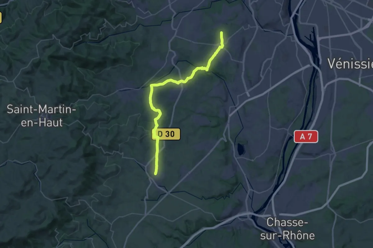
Medium · Trail
De Champonost à Mornant
17.3 km · ↑ 293 m · 5 h · 9 km away
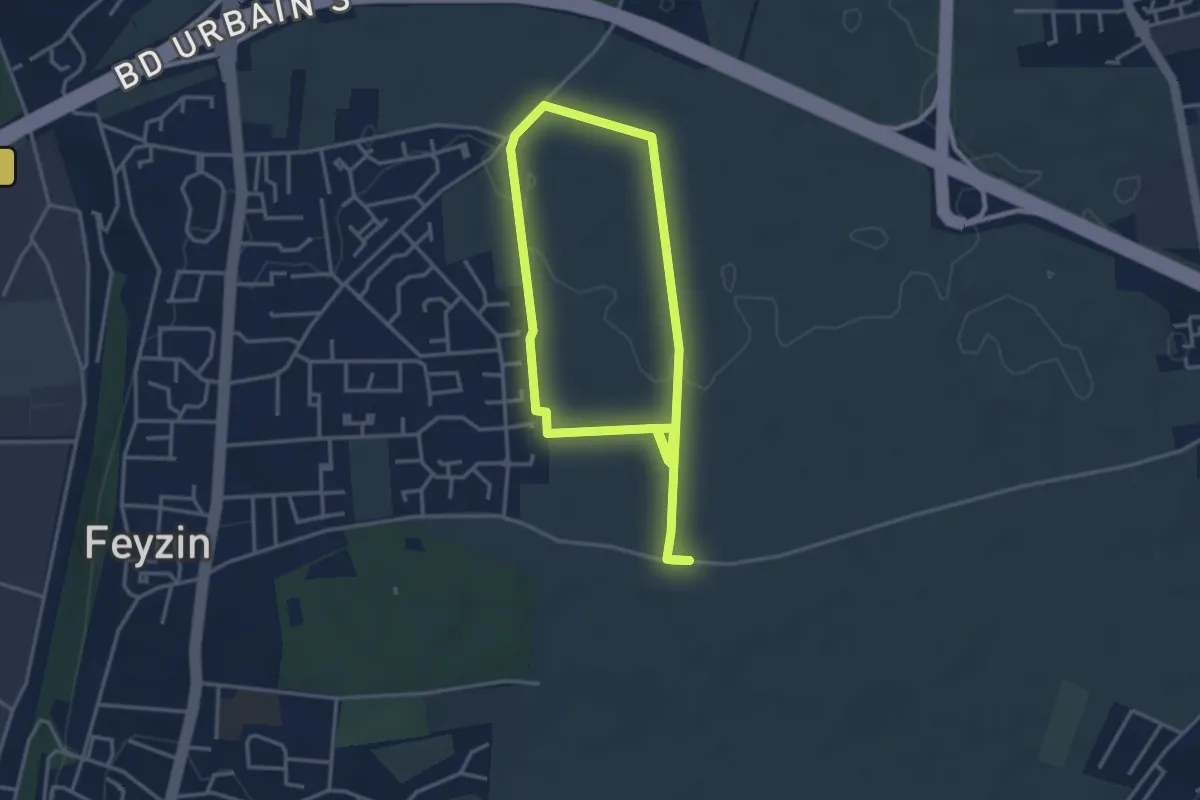
Easy · Trail
Sentier des Moissons
6.3 km · ↑ 51 m · 1 h 36 min · 9 km away
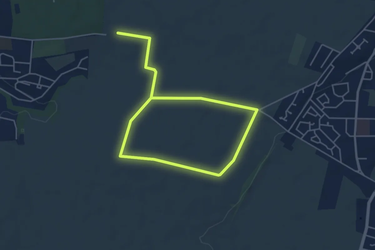
Easy · Trail
Sentier des Alouettes
6.6 km · ↑ 32 m · 1 h 37 min · 10 km away
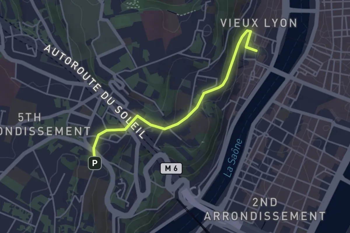
Easy · Trail
Chemin de Szombathely, Lyon - Roanne
3.7 km · ↑ 106 m · 1 h 6 min · 10 km away
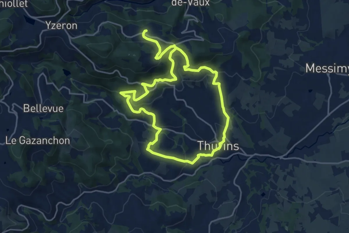
Medium · Trail
La chapelle de Châteauvieux
12.7 km · ↑ 576 m · 4 h 25 min · 10 km away
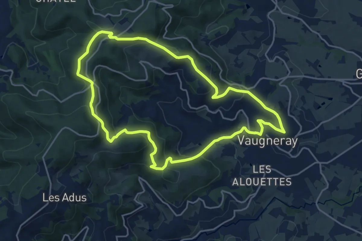
Medium · Trail
La Voie Romaine
13.6 km · ↑ 506 m · 4 h 30 min · 10 km away
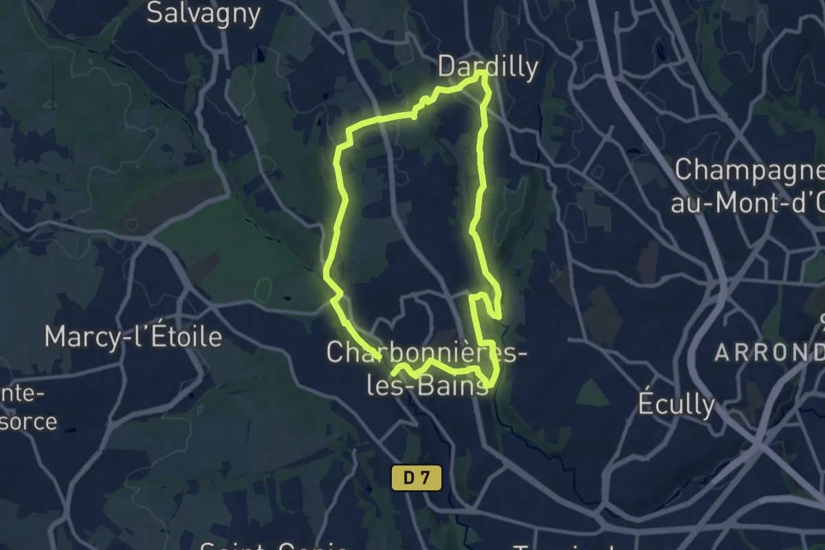
Demanding · Trail
Vallons de la Beffe et du Charbonnières
19.9 km · ↑ 342 m · 5 h 26 min · 12 km away
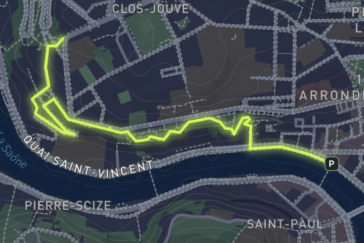
Easy · Trail
Parcours Corniche de la Saône
3.7 km · ↑ 132 m · 1 h 10 min · 12 km away
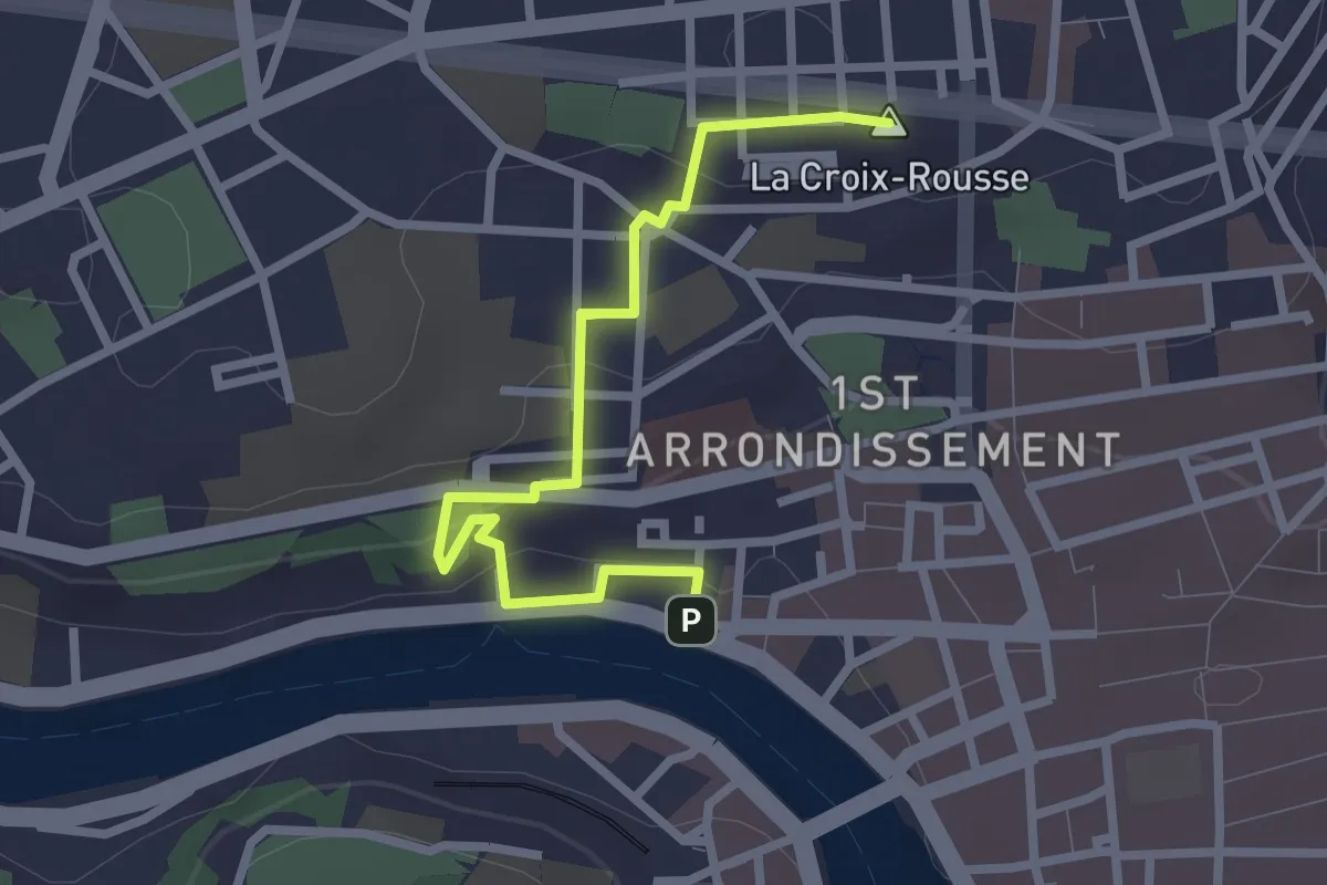
Easy · Summit
Parcours Flesselles
2.8 km · ↑ 140 m · 58 min · 12 km away
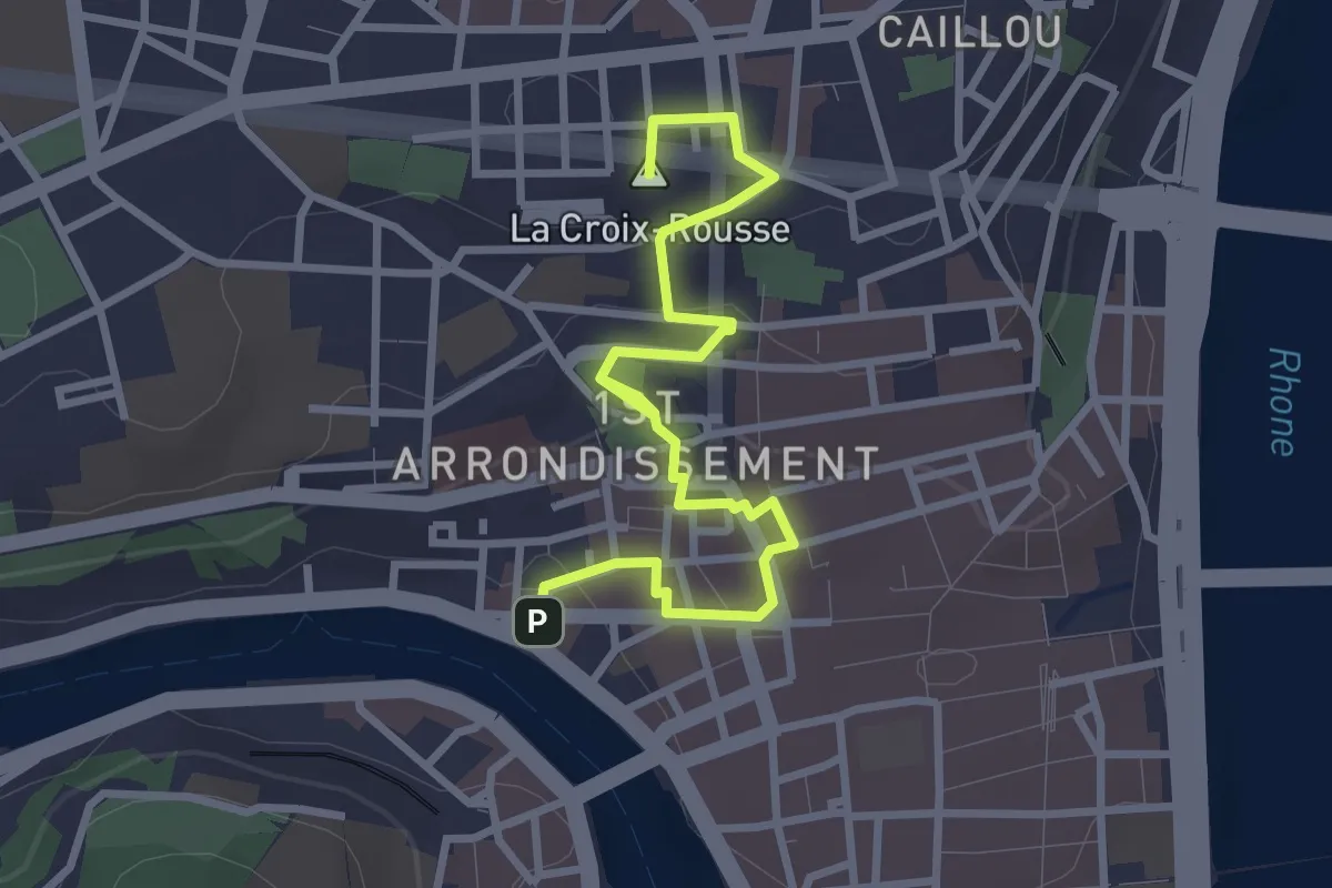
Easy · Summit
Parcours Amphitéâtre des Trois Gaules
3.6 km · ↑ 114 m · 1 h 6 min · 12 km away
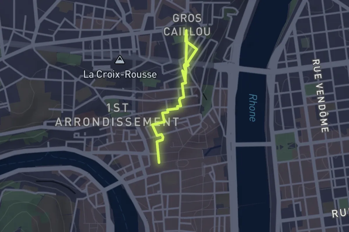
Easy · Trail
Parcours des Voraces
2.8 km · ↑ 84 m · 51 min · 12 km away
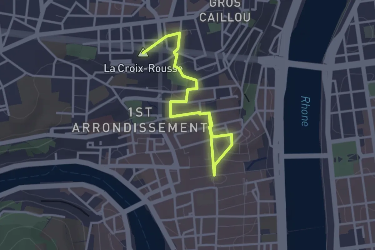
Easy · Summit
Parcours de la Grande Côte
3.4 km · ↑ 112 m · 1 h 3 min · 12 km away
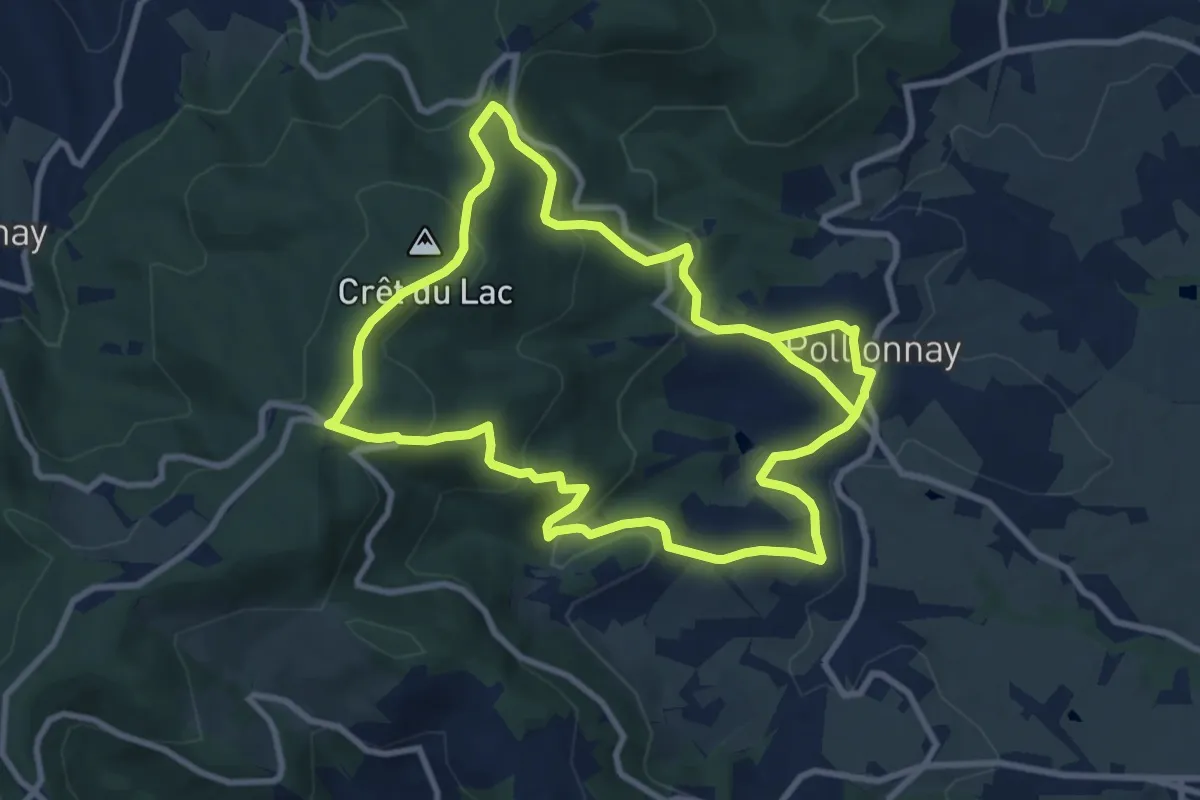
Medium · Trail
Col de la Luère / Croix du Ban
9.4 km · ↑ 340 m · 3 h 7 min · 13 km away
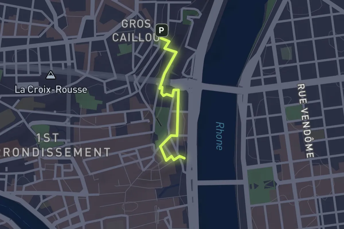
Easy · Trail
Parcours Soufflot
1.9 km · ↑ 89 m · 39 min · 13 km away
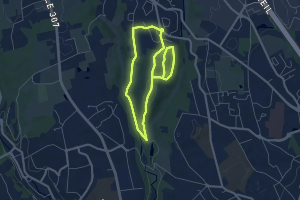
Easy · Trail
Sentier thématique du Bois de Serres
4.4 km · ↑ 64 m · 1 h 14 min · 13 km away
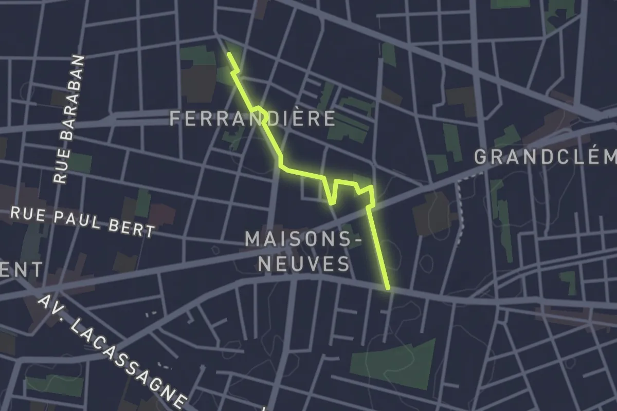
Easy · Trail
Curieux Détours Ferrandière - Maisons Neuves
2.5 km · ↑ 9 m · 36 min · 13 km away
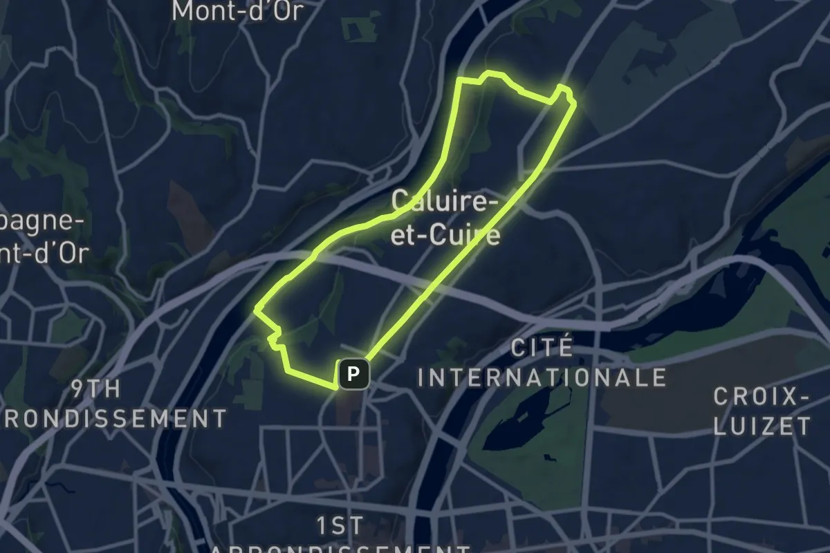
Medium · Trail
Les Quais de Saône
9.4 km · ↑ 116 m · 2 h 37 min · 14 km away
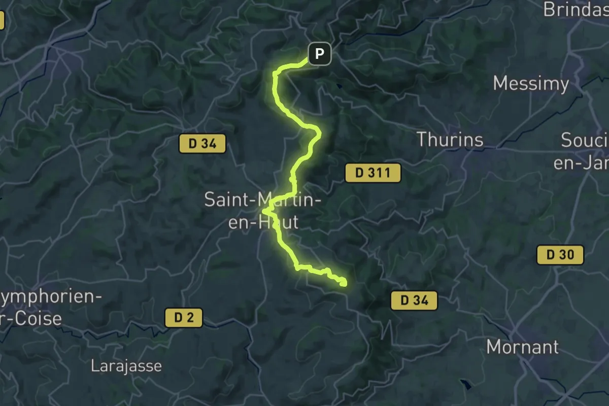
Demanding · Summit
De Yzeron à Riverie
26.8 km · ↑ 780 m · 8 h 1 min · 14 km away
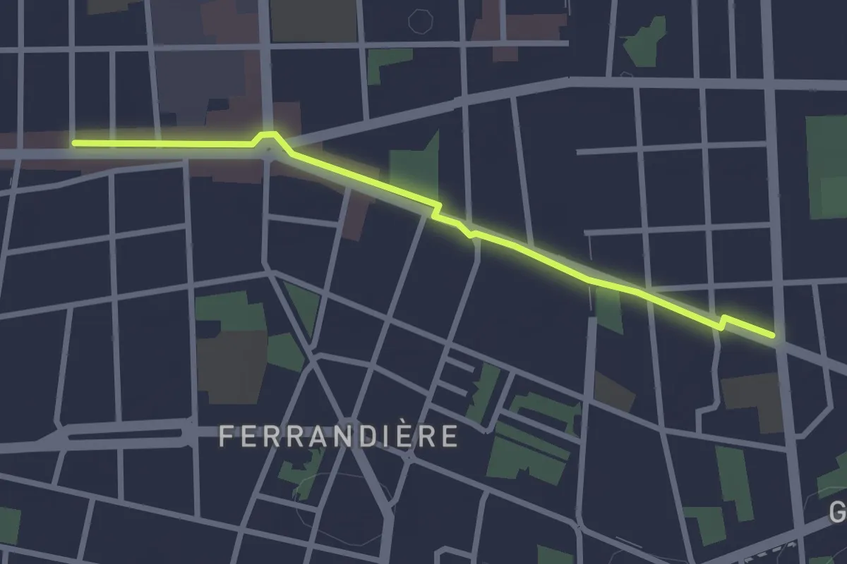
Easy · Trail
Curieux Détours Tolstoï
2.5 km · ↑ 0 m · 35 min · 14 km away
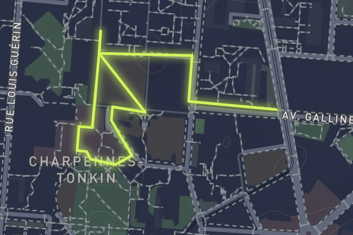
Easy · Trail
Curieux Détours Tonkin
2.4 km · ↑ 8 m · 35 min · 14 km away
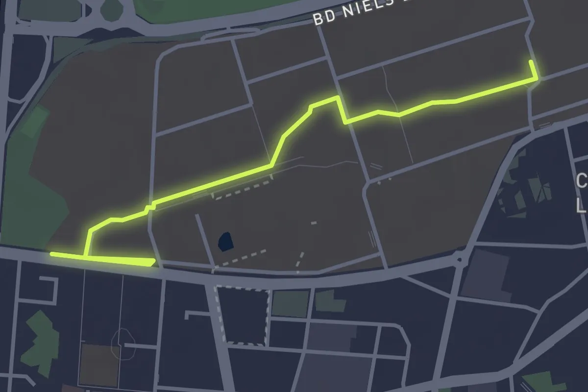
Easy · Trail
Curieux Détours La Doua
3.8 km · ↑ 9 m · 54 min · 14 km away
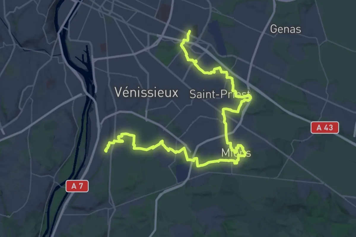
Demanding · Trail
Tour de Lyon, du Fort de Bron à Feyzin
30.6 km · ↑ 182 m · 8 h 4 min · 14 km away
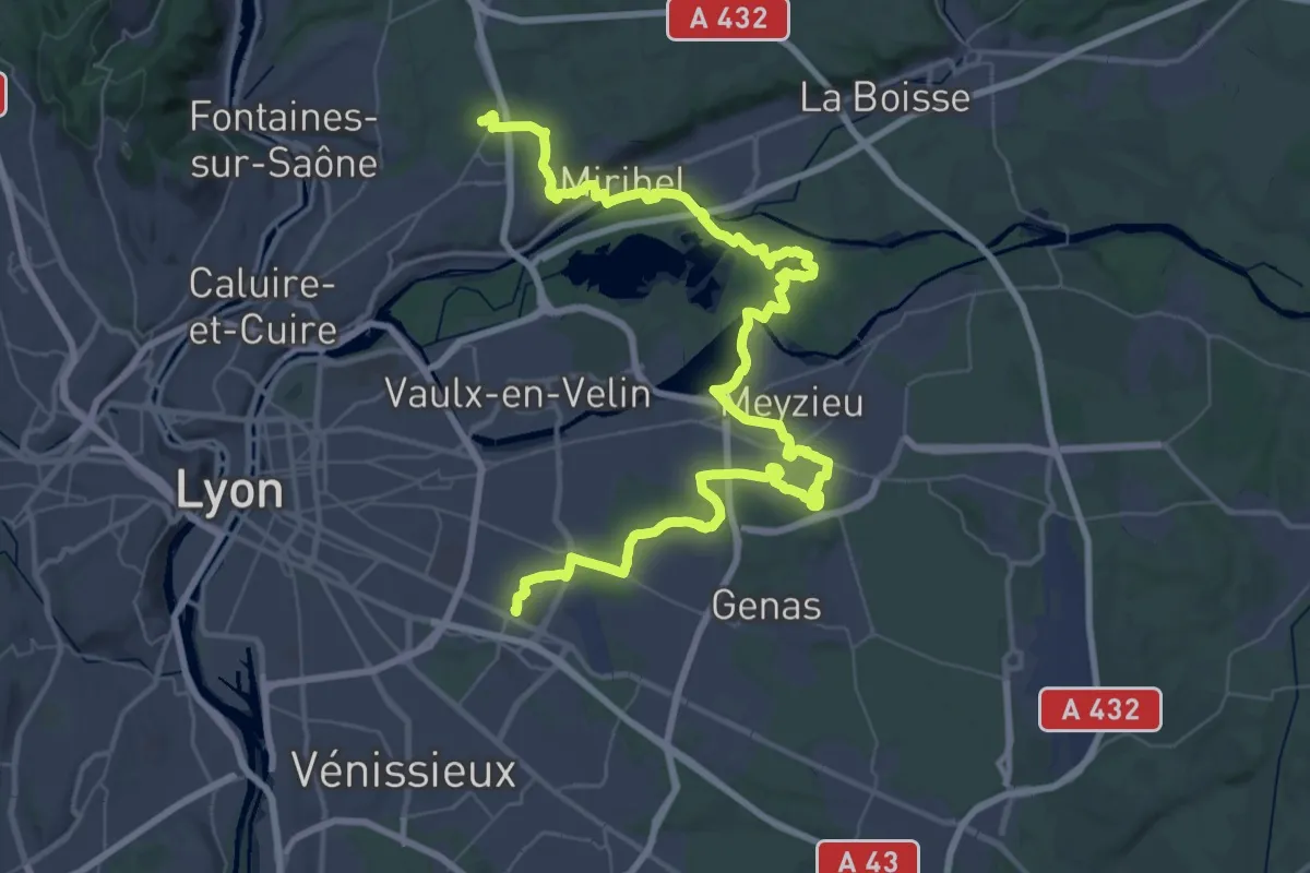
Demanding · Trail
Tour de Lyon, du Fort de Vancia au Fort de Bron
35.3 km · ↑ 297 m · 9 h 26 min · 14 km away
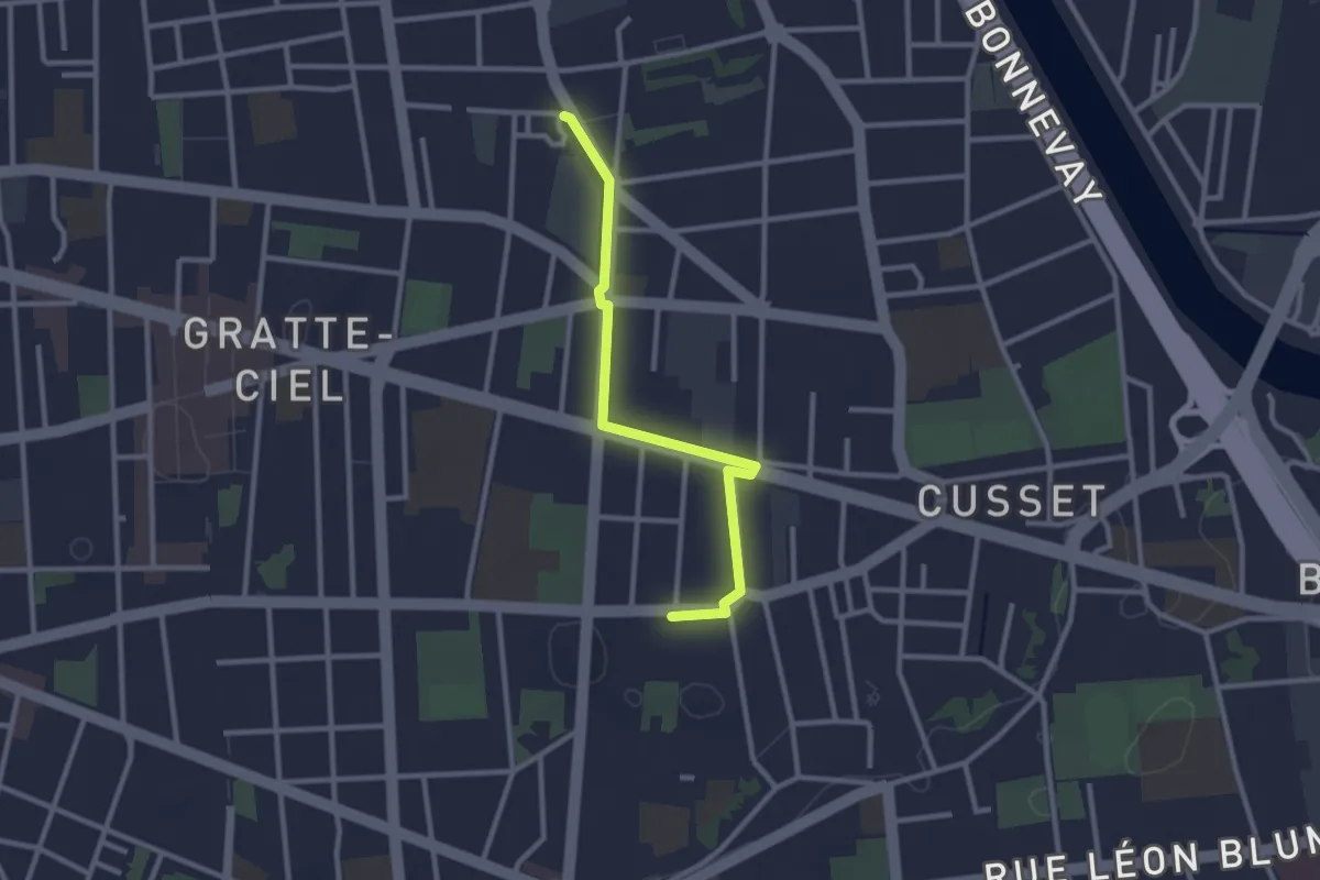
Easy · Trail
Curieux Détours Flachet
2.7 km · ↑ 0 m · 39 min · 15 km away