Trails near Cagnes-sur-Mer
40 hikes starting within 15 km, nearest first.
Nearest first
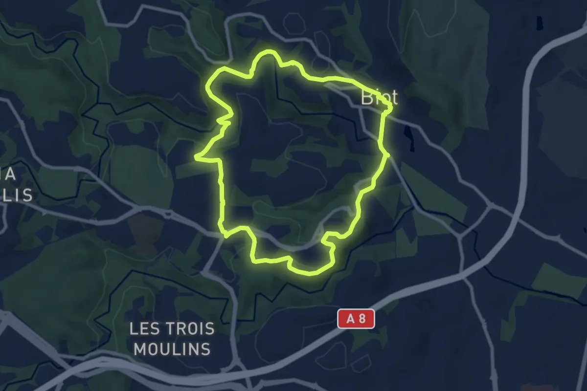
Easy · Trail
Circuit de Saint-Philippe
7.9 km · ↑ 220 m · 2 h 27 min · 6 km away
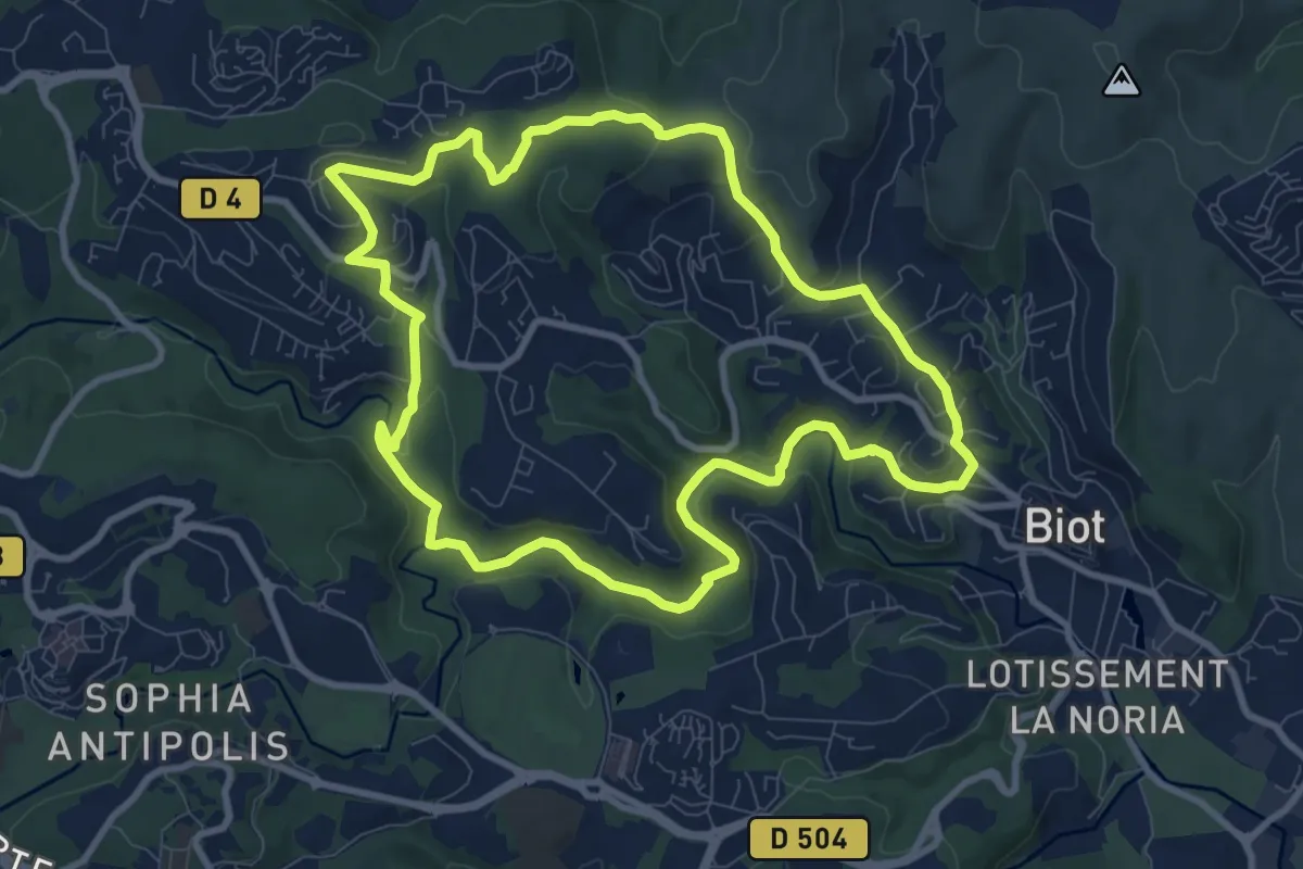
Medium · Trail
Circuit des Pierres à Four
9.9 km · ↑ 233 m · 2 h 59 min · 7 km away
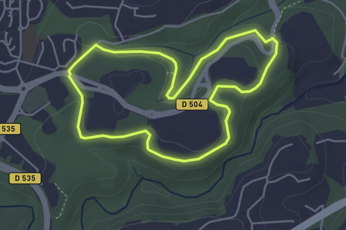
Easy · Trail
Promenade des Colles
3.6 km · ↑ 89 m · 1 h 6 min · 7 km away
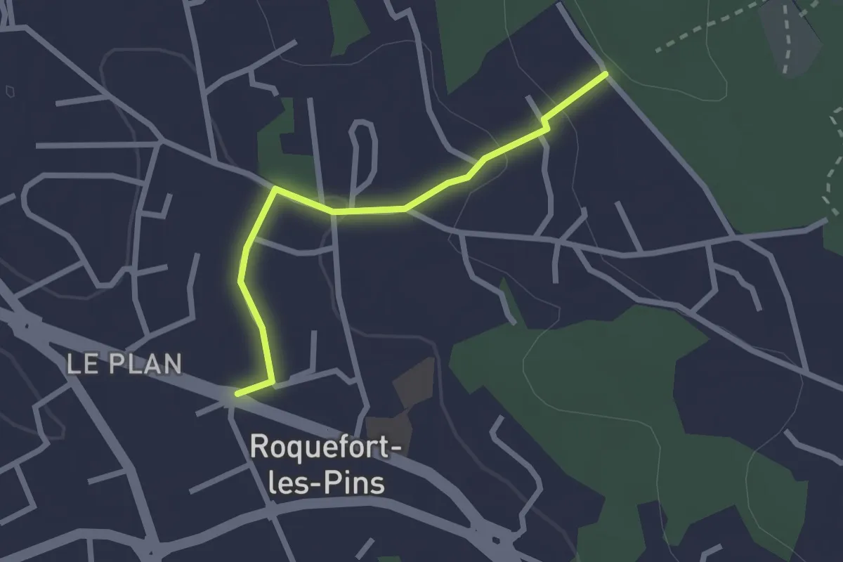
Easy · Trail
Le Castellas
2.2 km · ↑ 62 m · 39 min · 8 km away
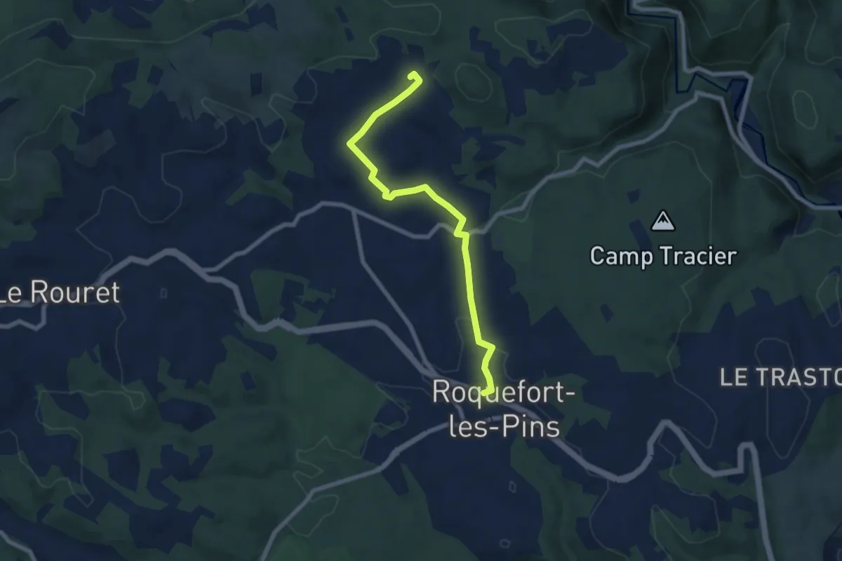
Easy · Trail
Le Rucher
7.3 km · ↑ 97 m · 1 h 56 min · 8 km away
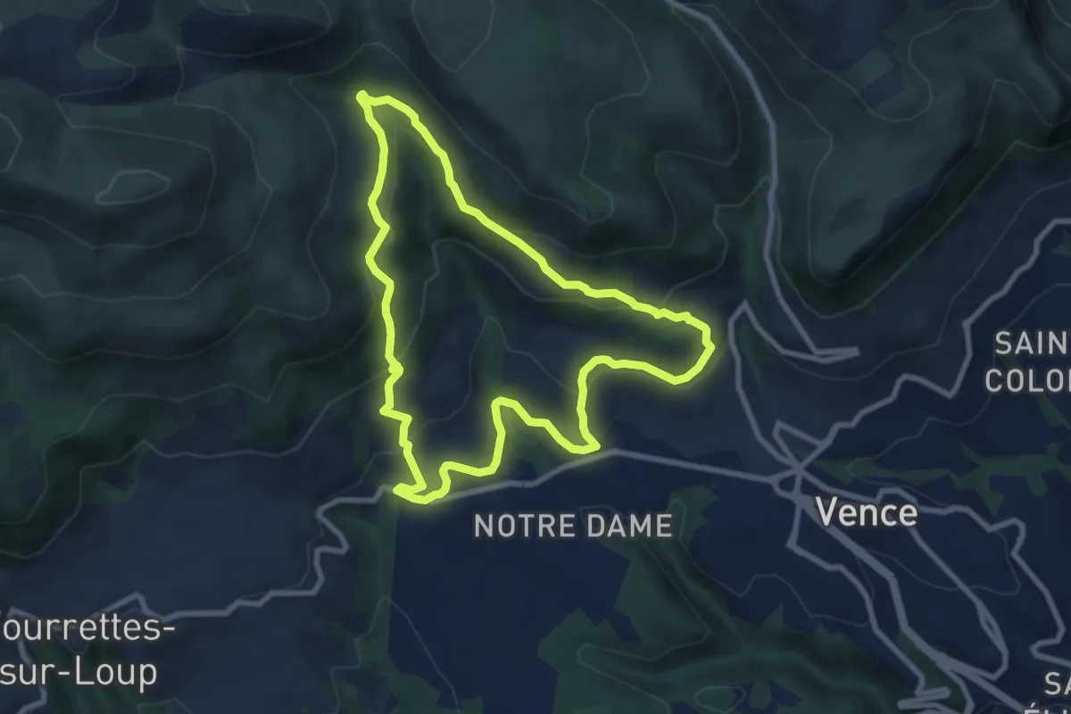
Medium · Trail
Circuit du Malvan
8.2 km · ↑ 331 m · 2 h 45 min · 9 km away
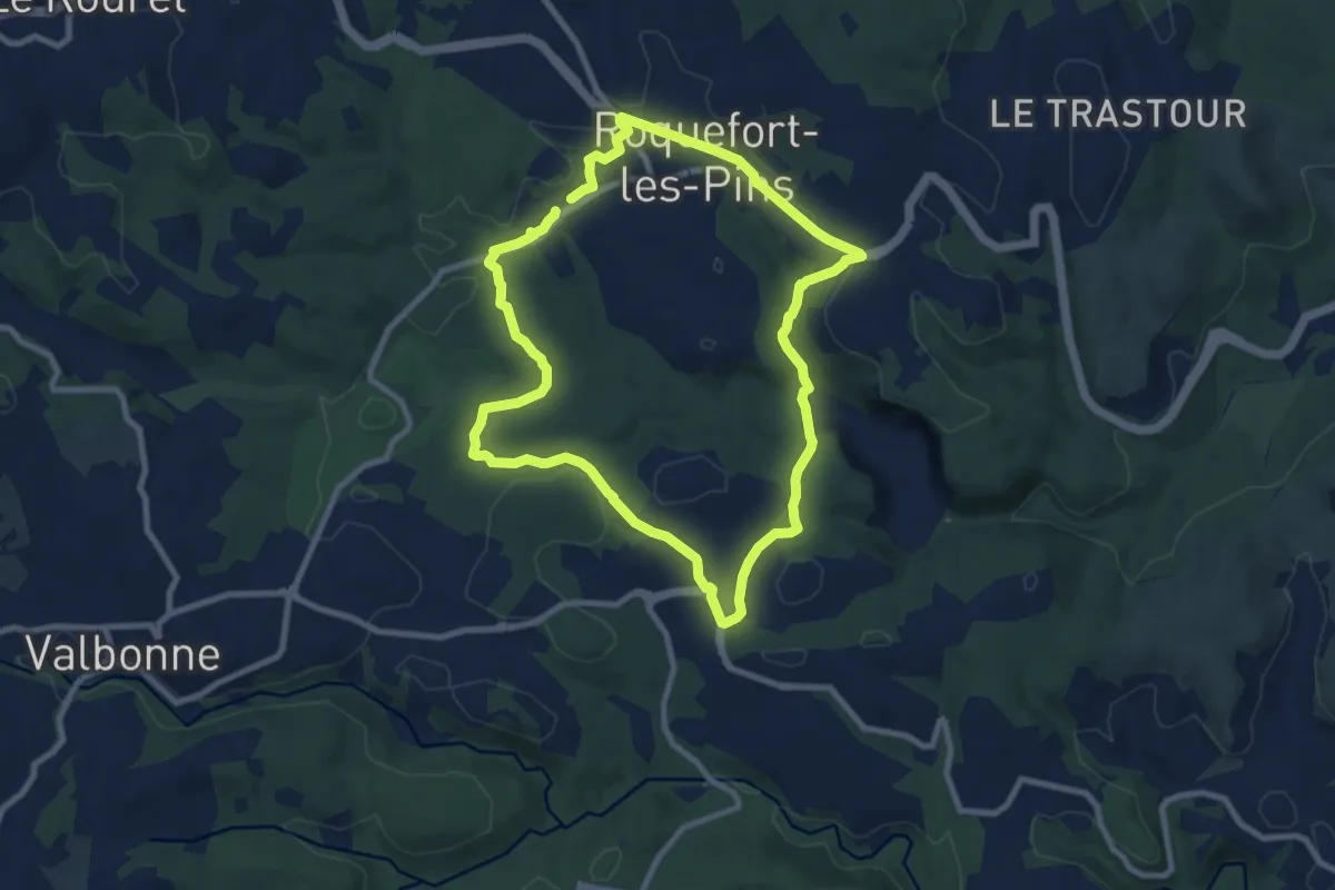
Medium · Trail
Circuit de Darbousson
8.9 km · ↑ 154 m · 2 h 34 min · 9 km away
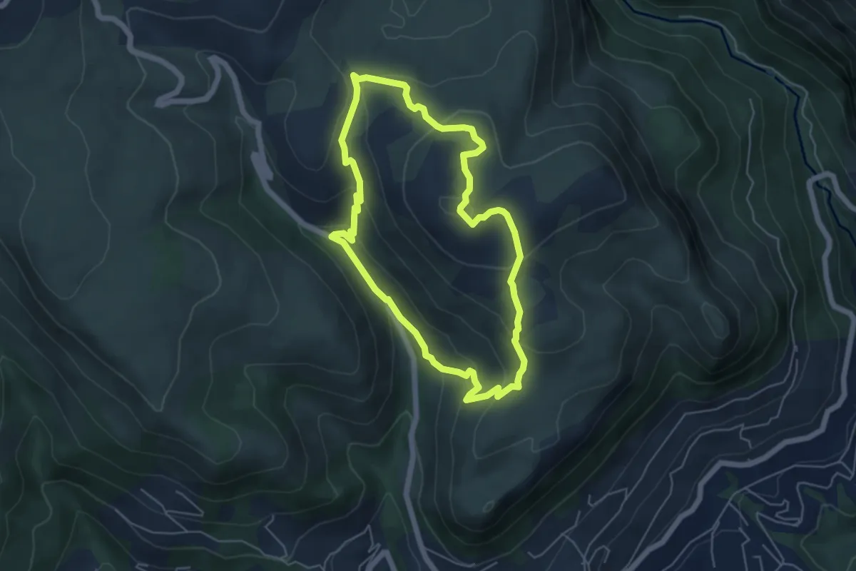
Easy · Trail
Circuit des Blaquières
5.2 km · ↑ 247 m · 1 h 49 min · 9 km away
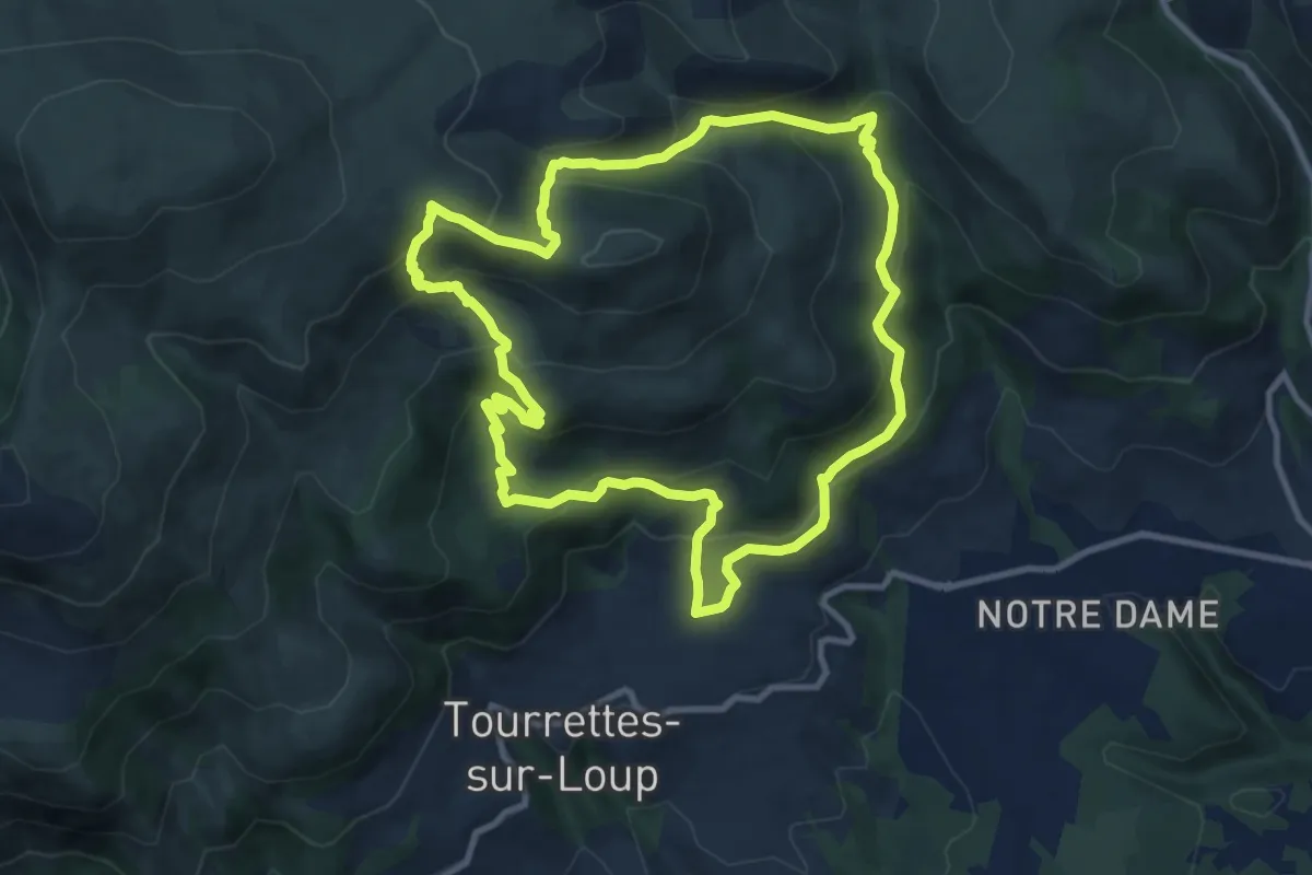
Medium · Trail
Puy de Naouri
10.7 km · ↑ 617 m · 4 h 1 min · 10 km away
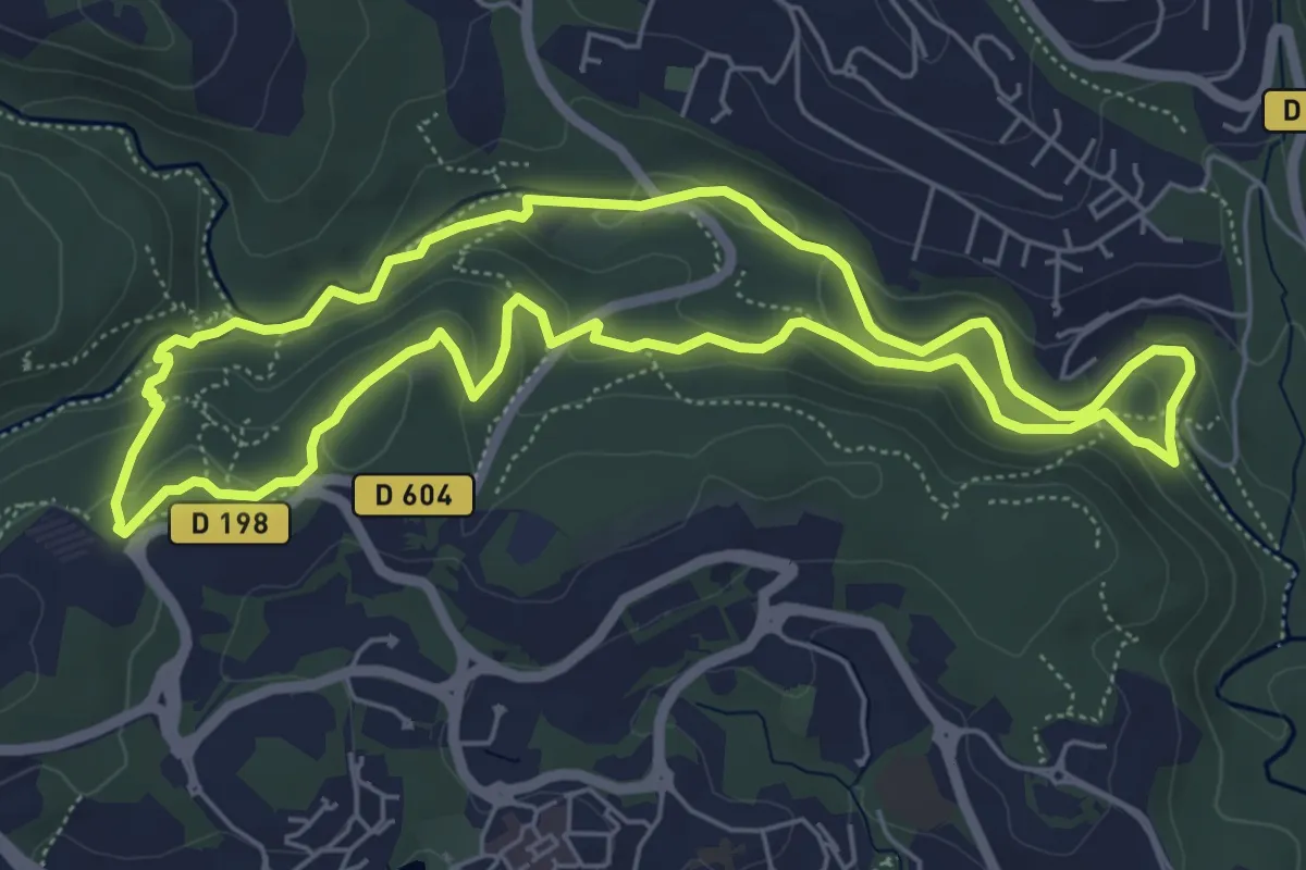
Medium · Trail
Circuit des Macarons
6.3 km · ↑ 165 m · 1 h 55 min · 10 km away
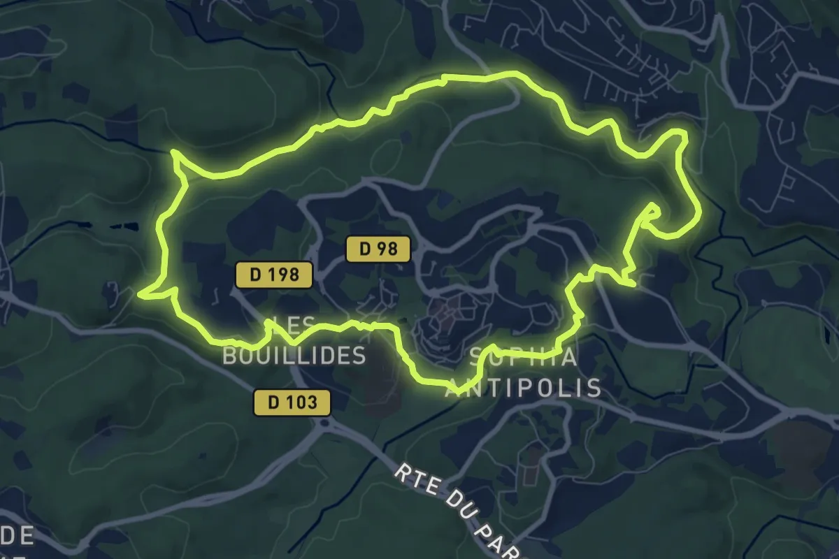
Medium · Trail
Circuit des Bouillides
10.3 km · ↑ 228 m · 3 h 4 min · 10 km away
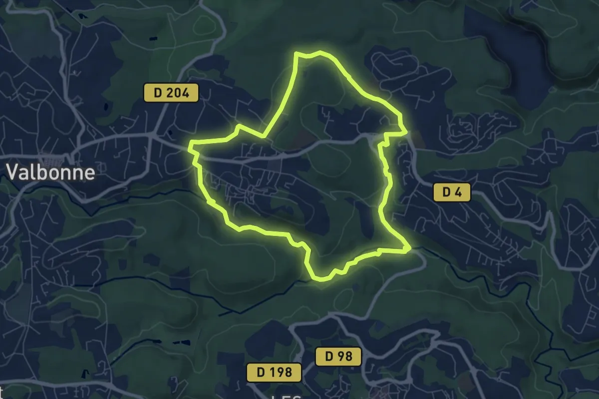
Easy · Trail
Circuit de Font Martine
7.6 km · ↑ 145 m · 2 h 13 min · 10 km away
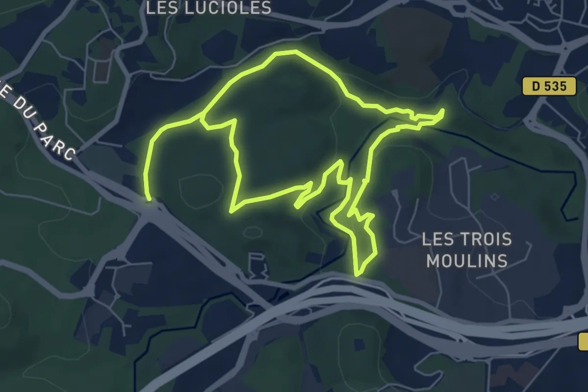
Medium · Trail
Circuit de l'Aqueduc
11.3 km · ↑ 228 m · 3 h 10 min · 10 km away
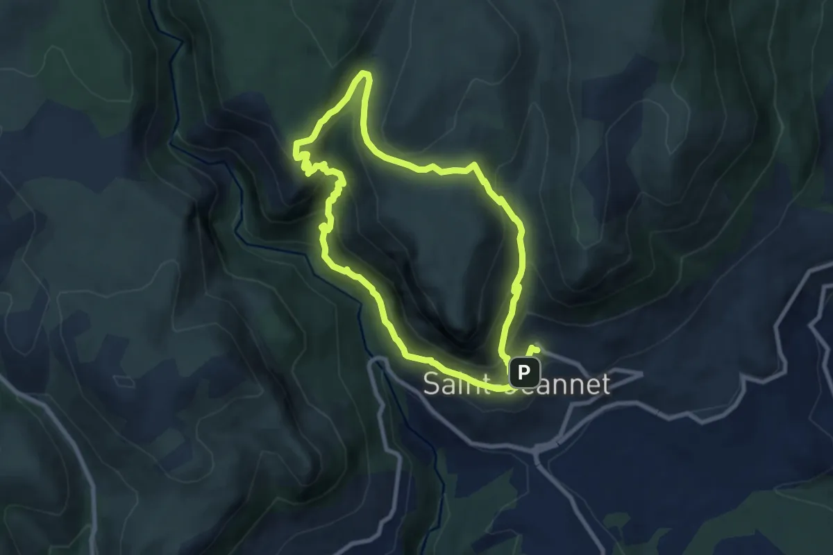
Demanding · Trail
Circuit du Castellet
15.7 km · ↑ 919 m · 5 h 42 min · 10 km away
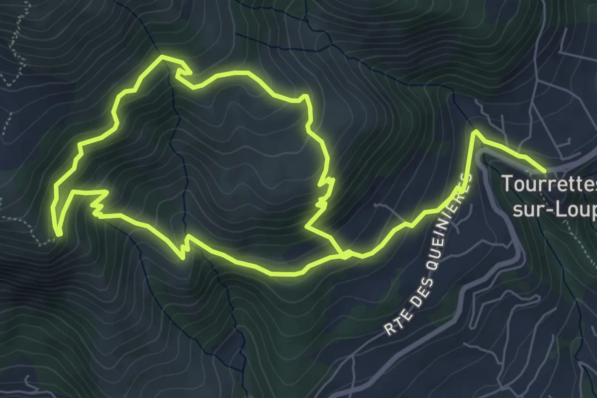
Demanding · Trail
Circuit de Pié Martin
12.8 km · ↑ 818 m · 4 h 48 min · 10 km away
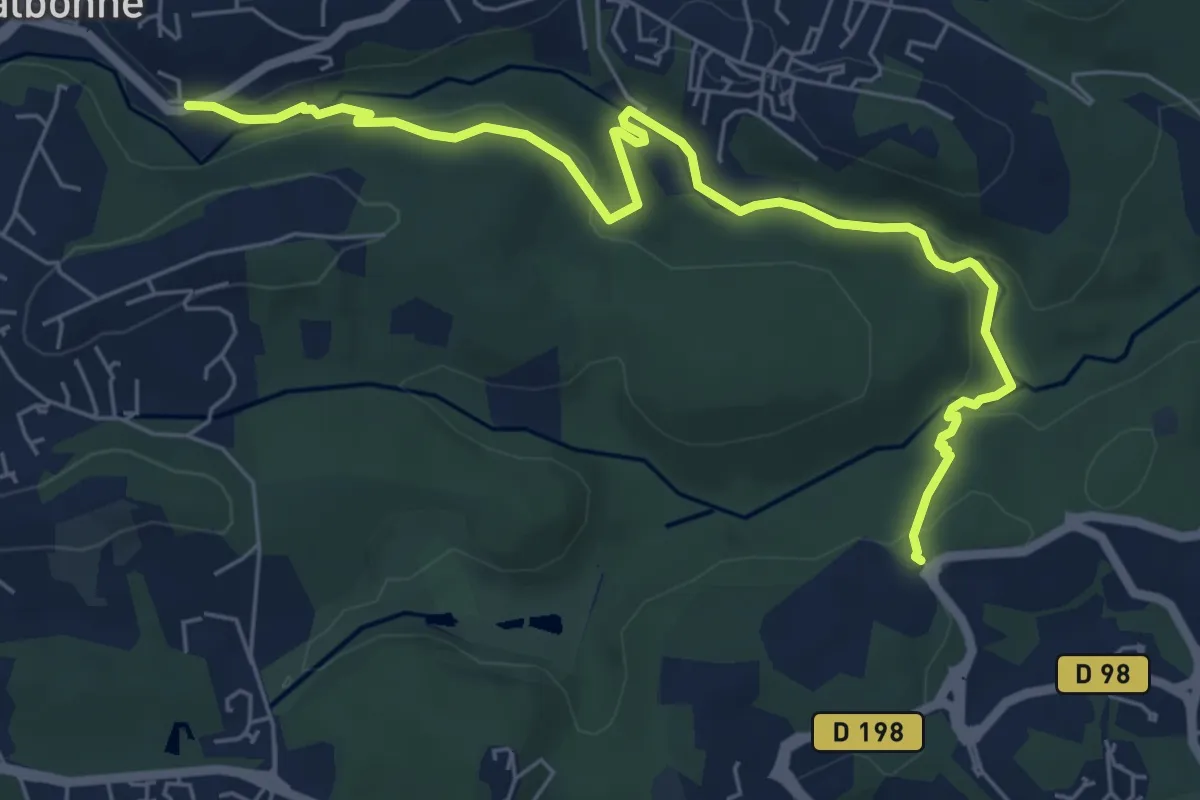
Easy · Trail
Découverte de la Brague
7.7 km · ↑ 188 m · 2 h 13 min · 10 km away
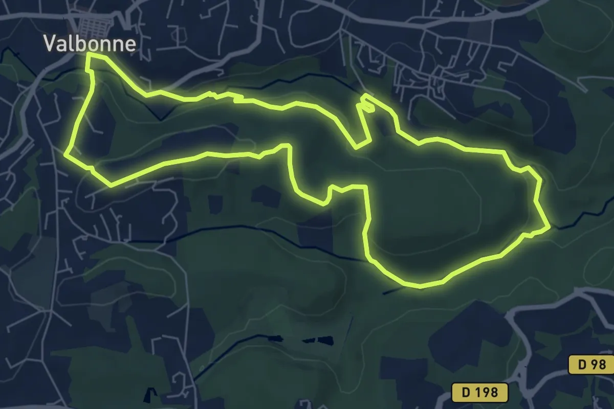
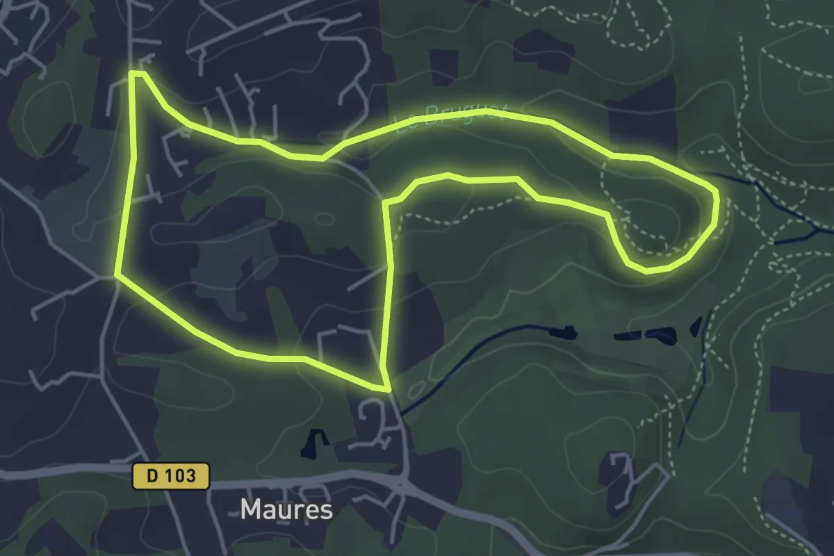
Easy · Trail
Circuit du Bruguet
7.6 km · ↑ 163 m · 2 h 16 min · 11 km away
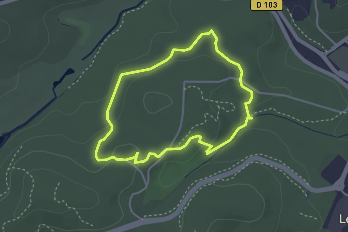
Easy · Trail
Circuit du Val Martin
4.7 km · ↑ 104 m · 1 h 24 min · 11 km away
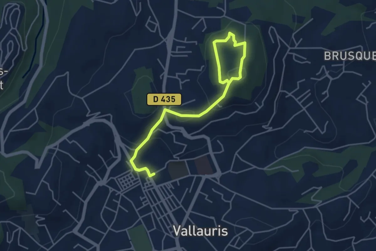
Easy · Trail
La Valmasque - Promenade du Carton
2.8 km · ↑ 49 m · 48 min · 11 km away
Medium · Trail
Circuit de Cordula
2.4 km · ↑ 52 m · 47 min · 11 km away
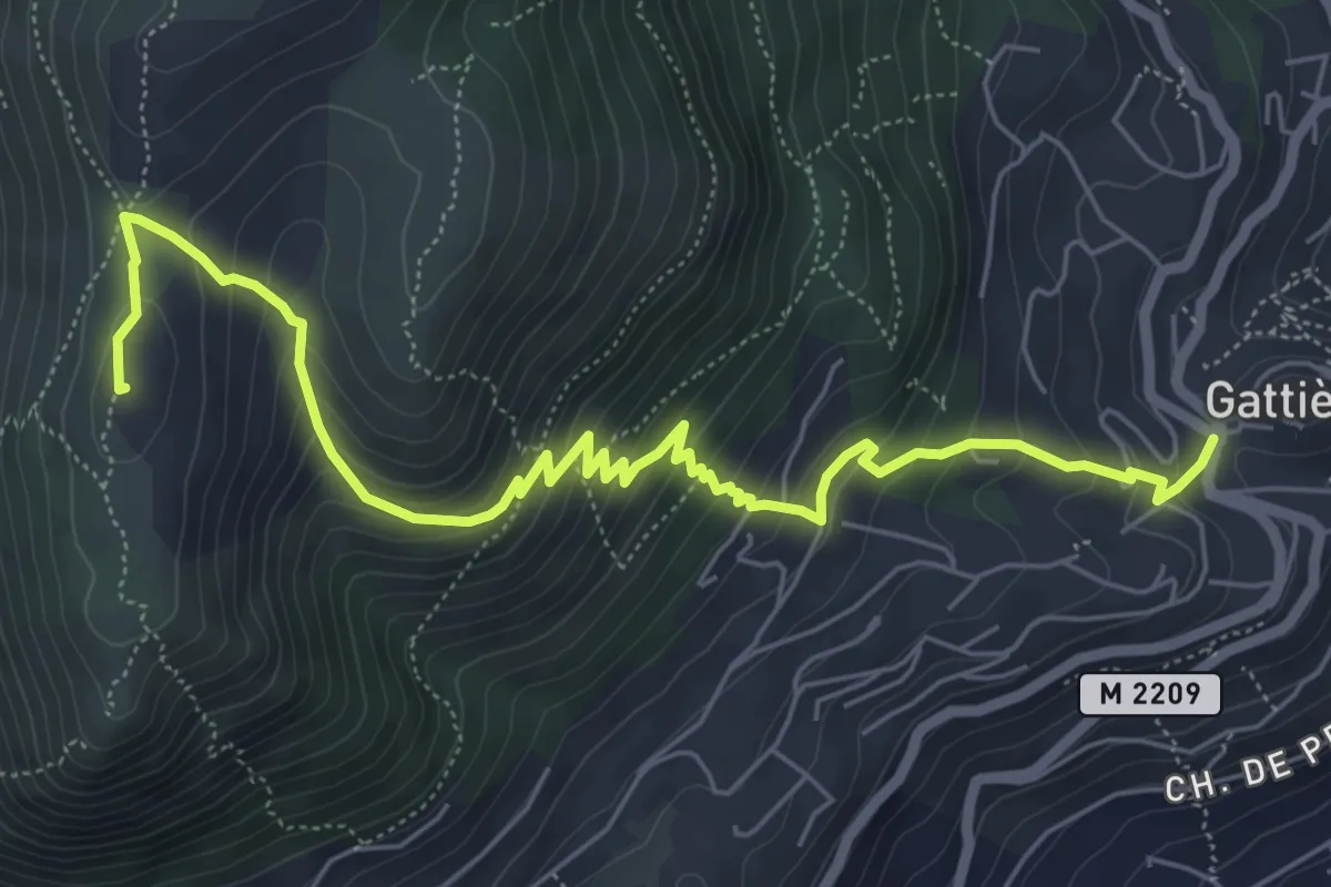
Medium · Summit
Baou de la Gaude
7.7 km · ↑ 569 m · 3 h 3 min · 11 km away
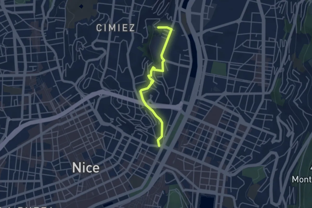
Easy · Trail
Mieux comprendre le gypse - Colline de Cimiez
3.8 km · ↑ 102 m · 1 h 7 min · 11 km away
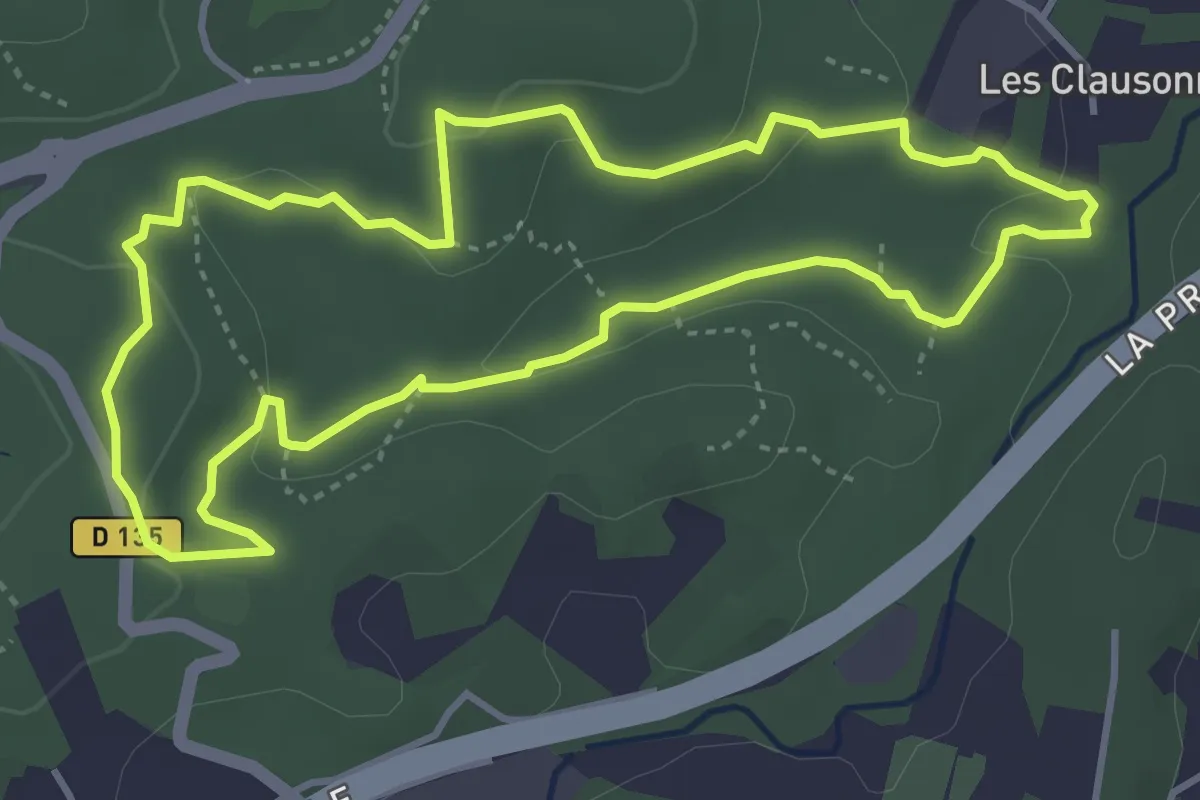
Easy · Trail
La Valmasque - Promenade du Fugueiret
4.2 km · ↑ 93 m · 1 h 15 min · 11 km away
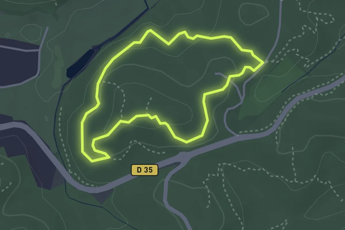
Easy · Trail
Valmasque - Balisage bleu
3.0 km · ↑ 82 m · 55 min · 11 km away
Easy · Trail
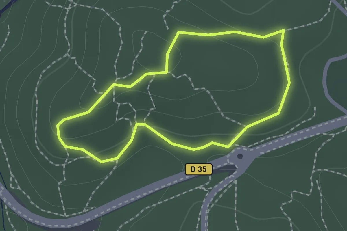
La Valmasque - Sentier de Découverte
1.6 km · ↑ 38 m · 29 min · 11 km away
Medium · Trail
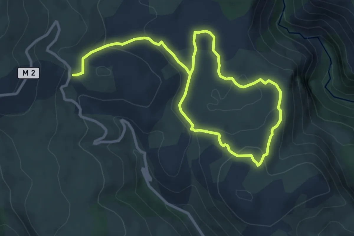
Plan des Noves
11.2 km · ↑ 324 m · 3 h 20 min · 12 km away
Demanding · Trail
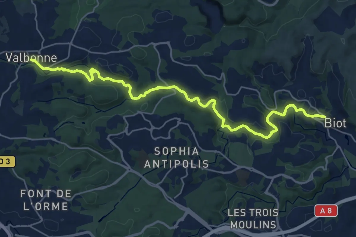
Vallée de la Brague
20.9 km · ↑ 410 m · 5 h 49 min · 12 km away
Easy · Trail
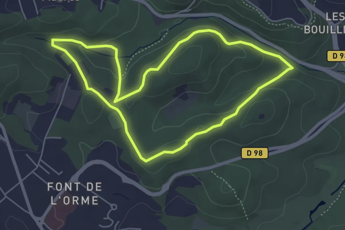
Circuit du Carton
4.8 km · ↑ 92 m · 1 h 24 min · 12 km away
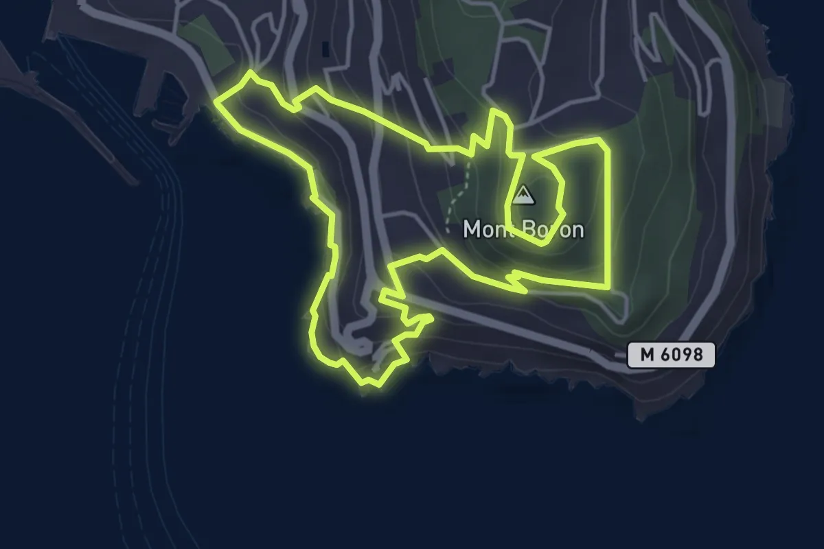
Easy · Summit
Tour du mont Boron
4.6 km · ↑ 206 m · 1 h 36 min · 12 km away
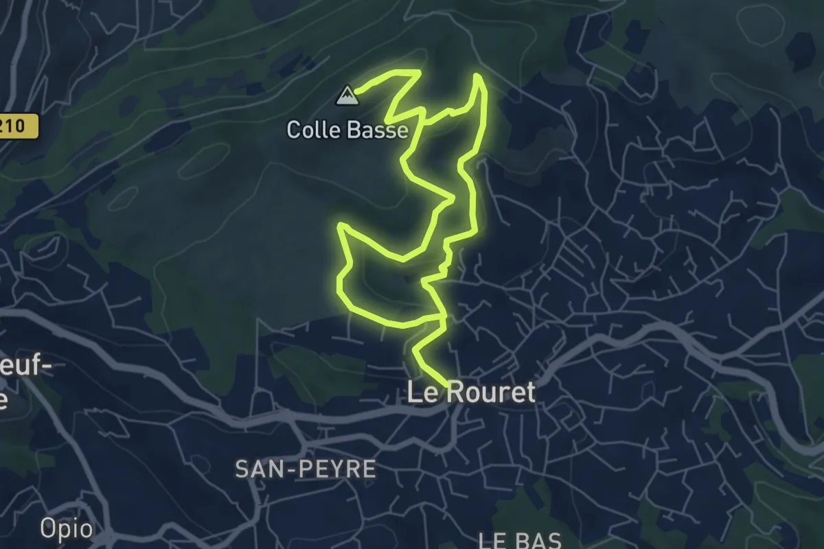
Easy · Summit
Le Camp romain
6.6 km · ↑ 191 m · 2 h 4 min · 12 km away
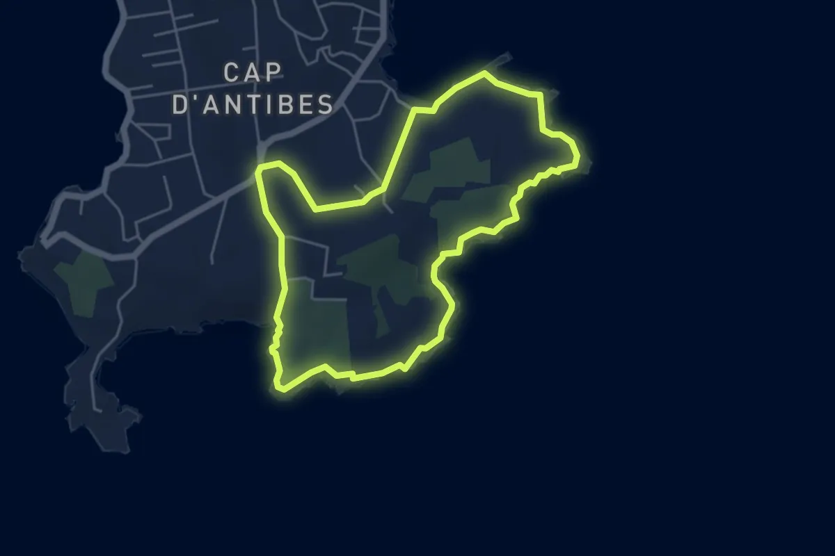
Easy · Trail
Tour du Cap d'Antibes
4.7 km · ↑ 60 m · 1 h 18 min · 12 km away
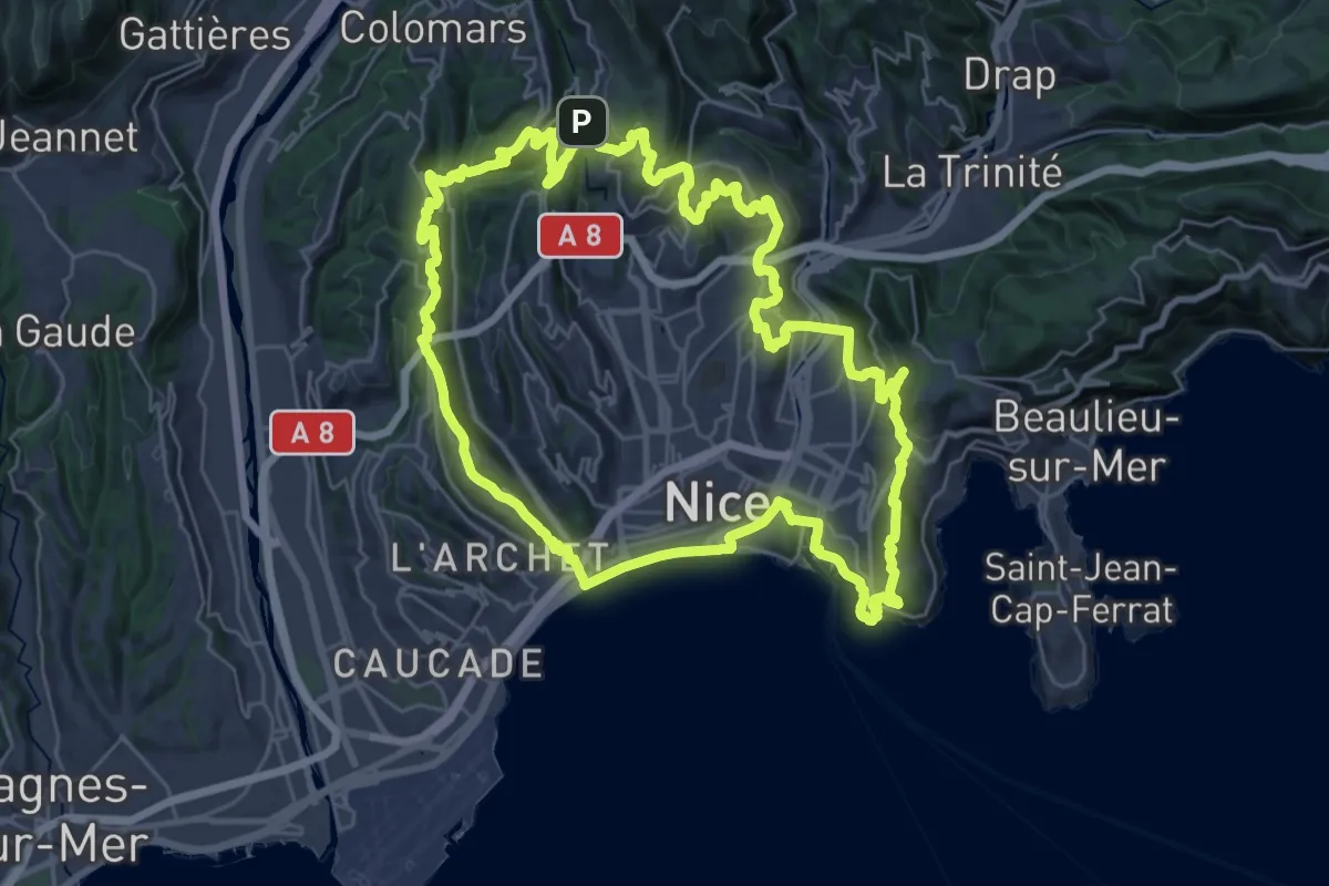
Demanding · Summit
Lou Camin Nissart
35.4 km · ↑ 1240 m · 11 h 33 min · 12 km away
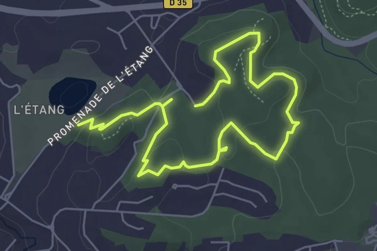
Medium · Trail
La Valmasque - Promenade de Fontmerle
8.0 km · ↑ 155 m · 2 h 14 min · 13 km away
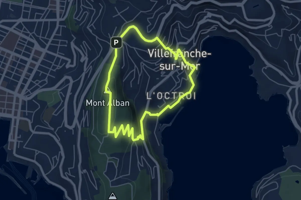
Easy · Summit
Circuit du mont Alban
4.9 km · ↑ 235 m · 1 h 44 min · 13 km away
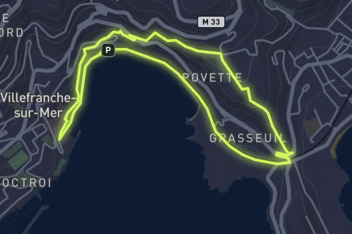
Easy · Trail
Circuit de la Rade
4.2 km · ↑ 152 m · 1 h 23 min · 14 km away
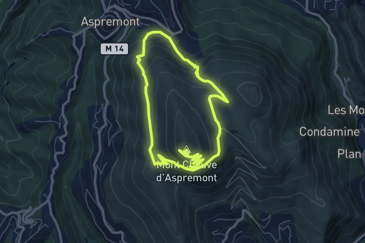
Medium · Summit
Tour du Mont Chauve
12.1 km · ↑ 584 m · 4 h 7 min · 15 km away
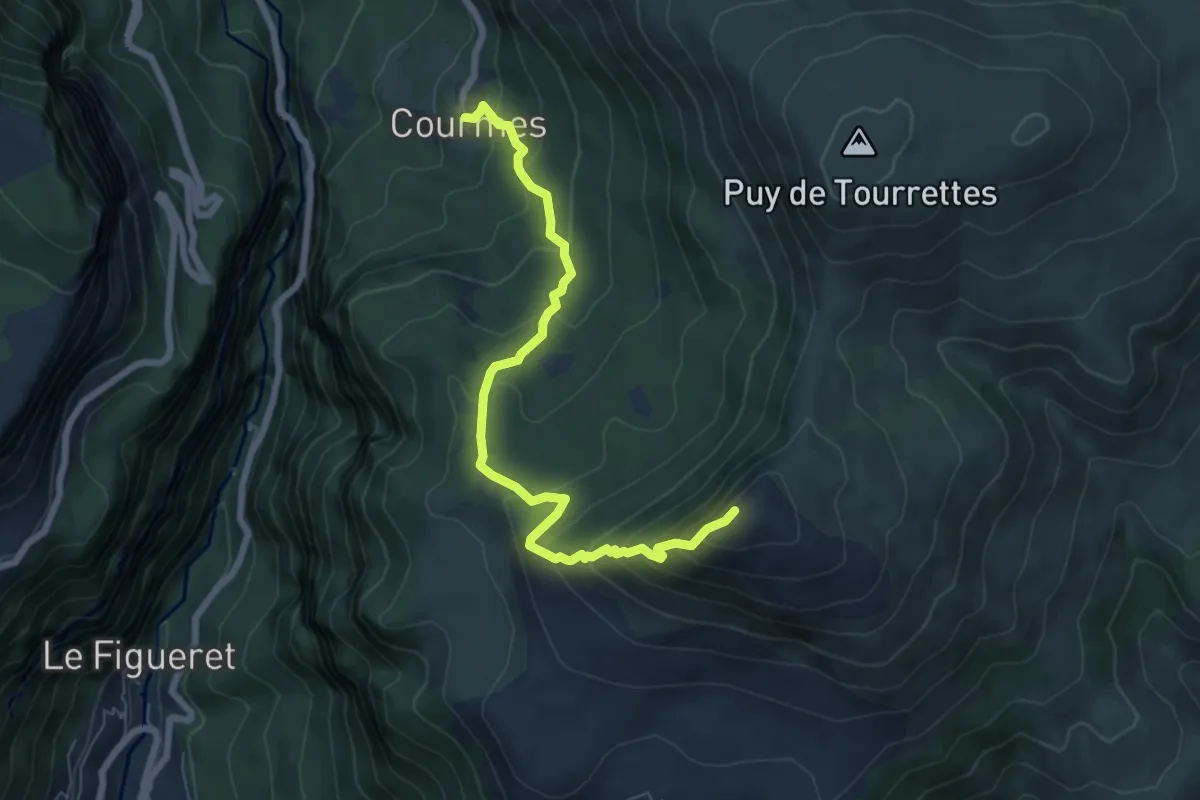
Demanding · Summit
Pic de Courmettes
7.4 km · ↑ 617 m · 3 h 5 min · 15 km away
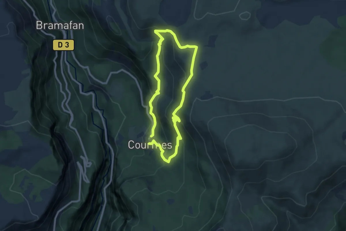
Medium · Trail
Plateau de Saint-Barnabé
6.5 km · ↑ 383 m · 2 h 26 min · 15 km away
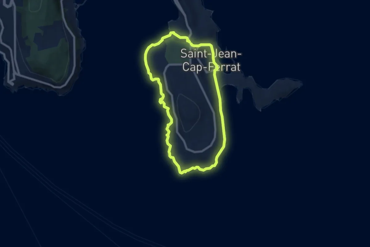
Easy · Trail
Tour du cap Ferrat
6.0 km · ↑ 181 m · 1 h 54 min · 15 km away
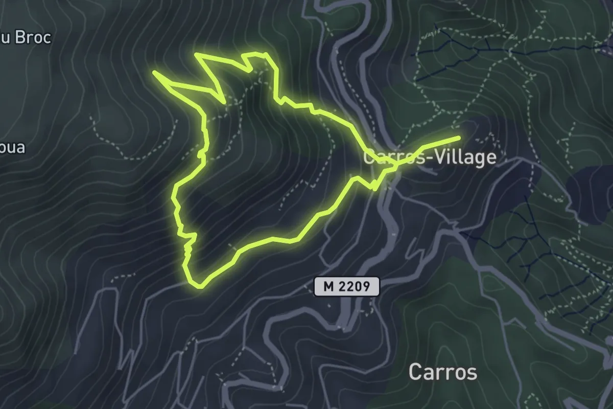
Medium · Trail
Les Balcons de Carros
8.8 km · ↑ 665 m · 3 h 31 min · 15 km away