Trails near Cahors
26 hikes starting within 15 km, nearest first.
Nearest first
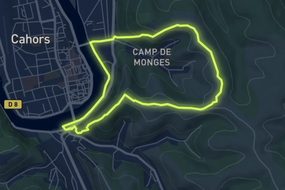
Easy · Summit
Circuit du Mont Saint-Cyr
5.7 km · ↑ 181 m · 1 h 48 min · 1 km away
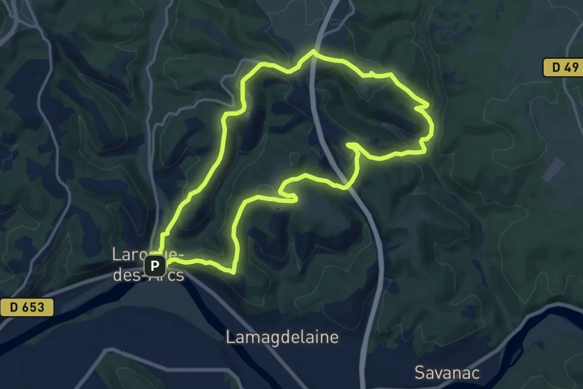
Medium · Summit
Circuit des Arts
12.6 km · ↑ 474 m · 4 h 10 min · 4 km away
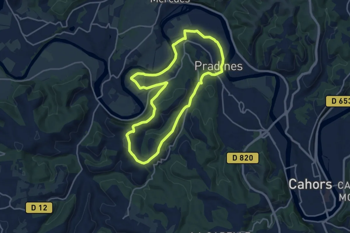
Medium · Trail
Circuit du Cap de la Cévenne
12.5 km · ↑ 295 m · 3 h 46 min · 5 km away
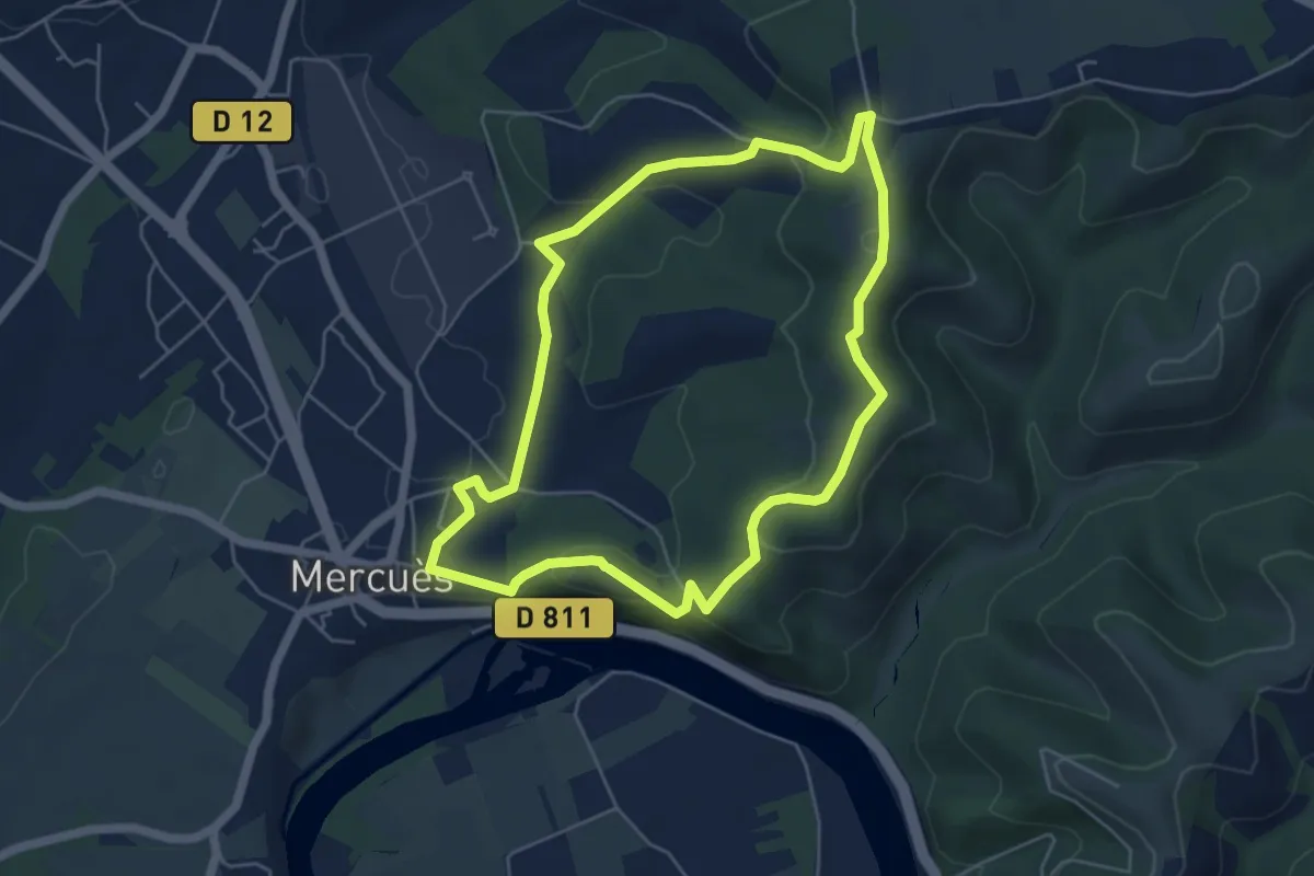
Easy · Trail
Circuit de terre blanc
5.4 km · ↑ 165 m · 1 h 42 min · 6 km away
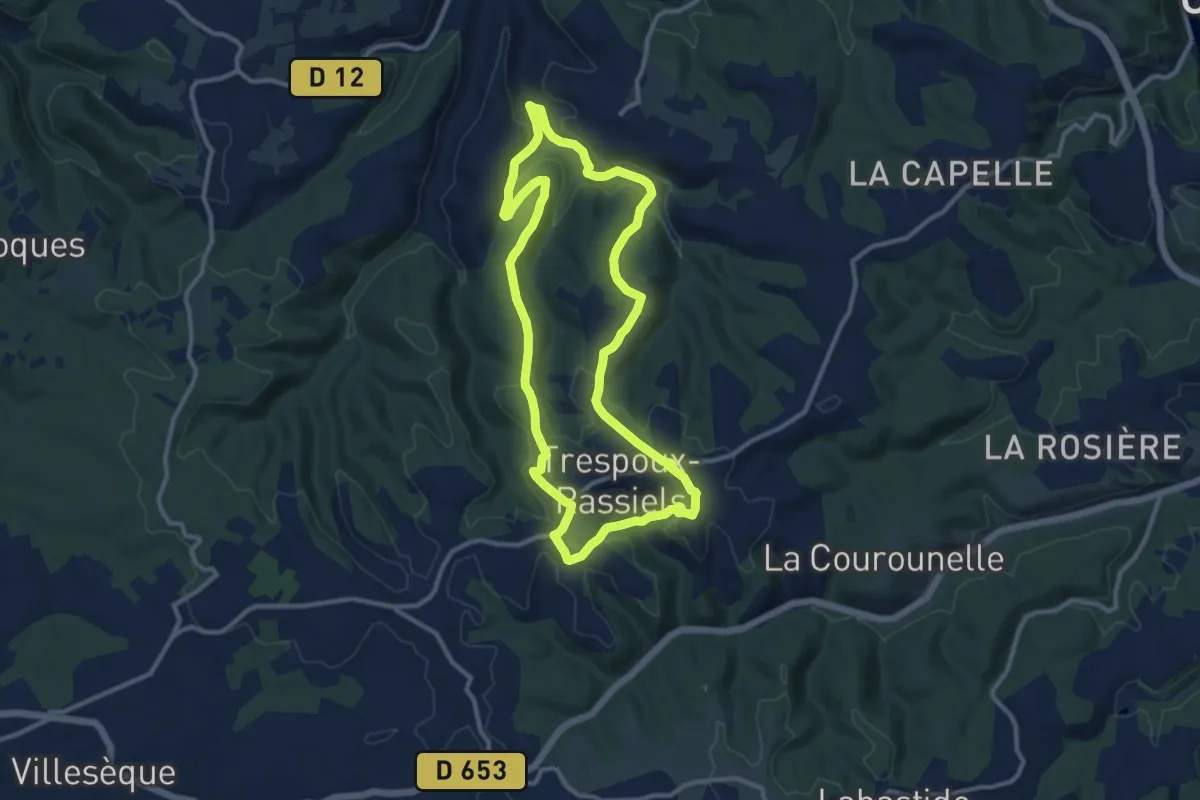
Medium · Trail
Circuit du Blay
11.3 km · ↑ 230 m · 3 h 19 min · 6 km away
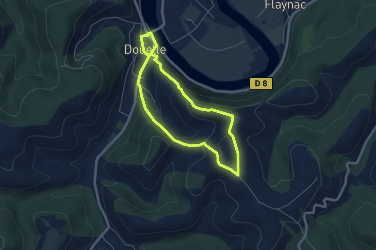
Easy · Trail
Circuit du point de vue
4.3 km · ↑ 215 m · 1 h 32 min · 6 km away
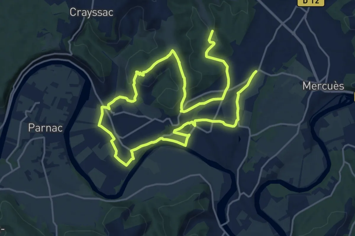
Medium · Trail
Vignes et Vergers
12.8 km · ↑ 303 m · 3 h 49 min · 8 km away
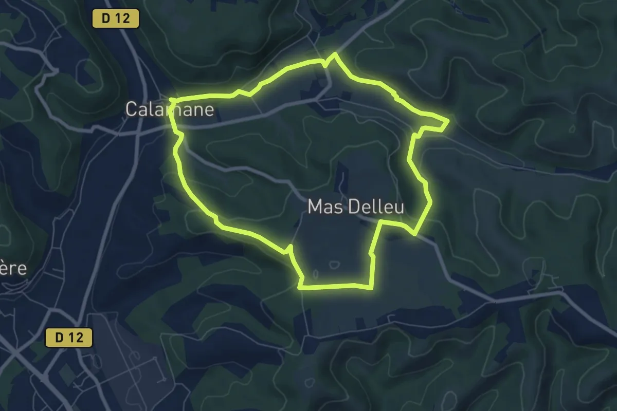
Easy · Trail
Il suffit de passer les ponts - 7,4km
7.4 km · ↑ 172 m · 2 h 13 min · 9 km away
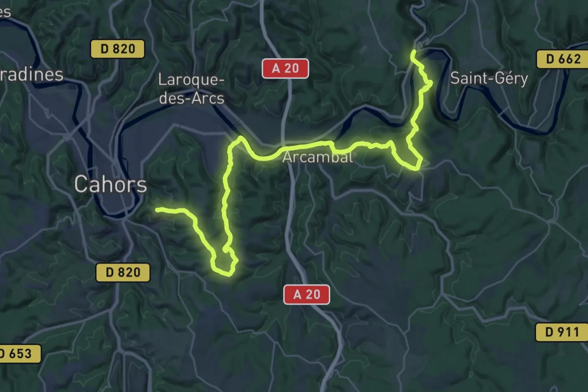
Demanding · Summit
VA 20 : Vers - Cahors
39.0 km · ↑ 734 m · 10 h 48 min · 10 km away
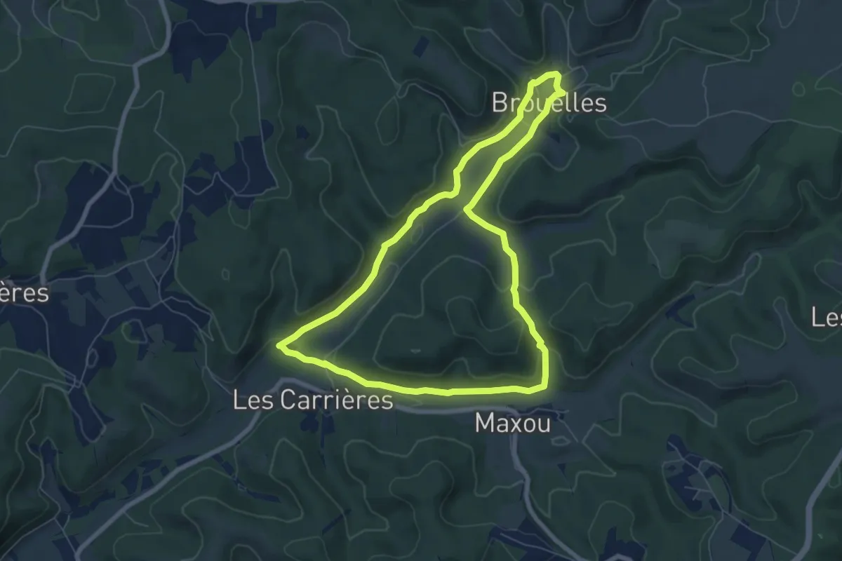
Easy · Trail
Circuit de Maxou
6.9 km · ↑ 149 m · 2 h 4 min · 10 km away
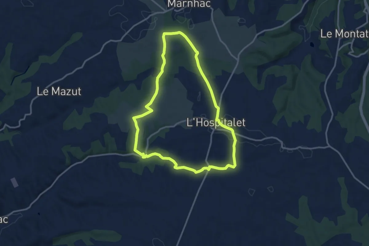
Medium · Trail
Circuit de Dame Hélène
10.3 km · ↑ 110 m · 2 h 49 min · 10 km away
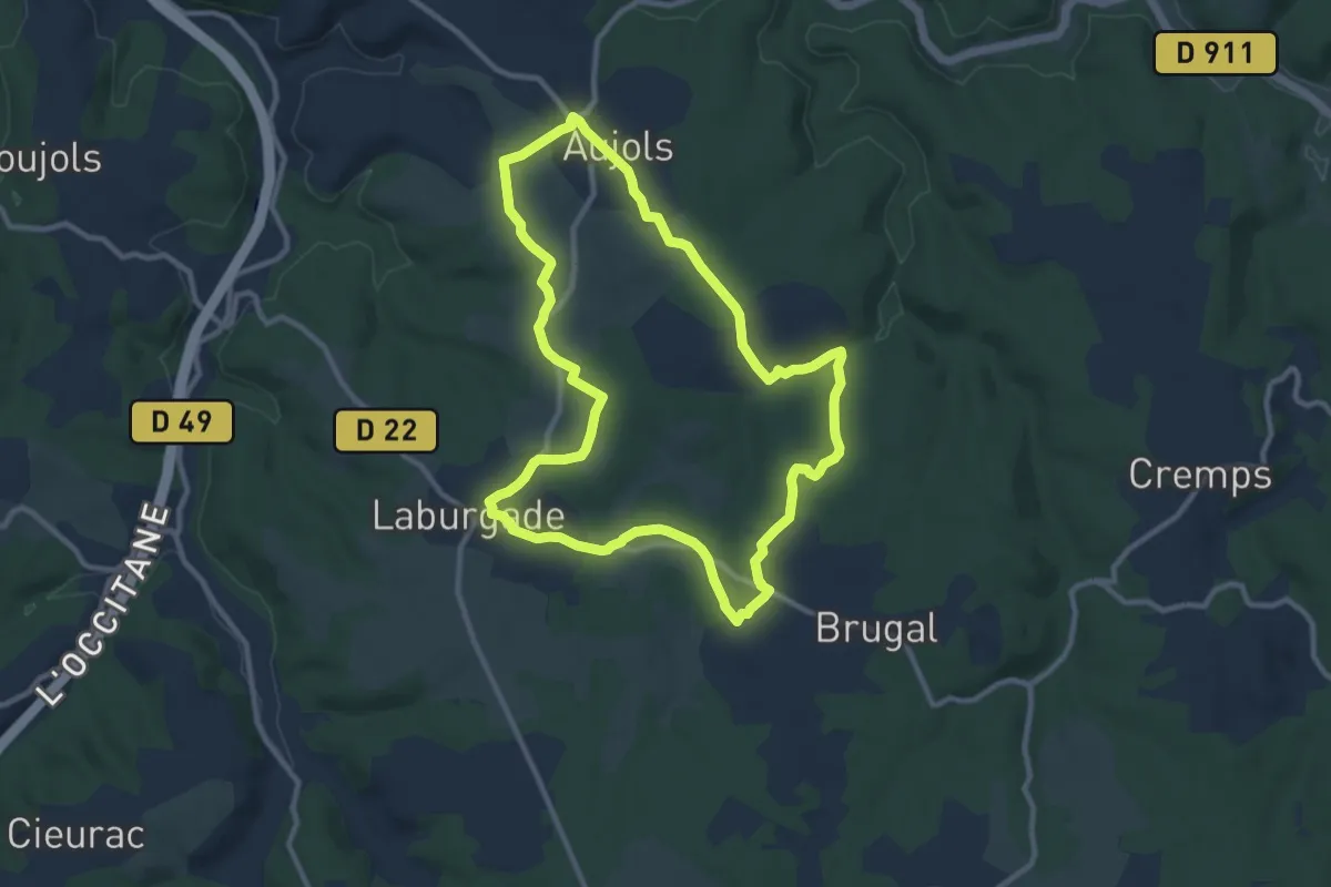
Medium · Trail
Balade de puits en lavoirs
10.6 km · ↑ 146 m · 2 h 58 min · 11 km away
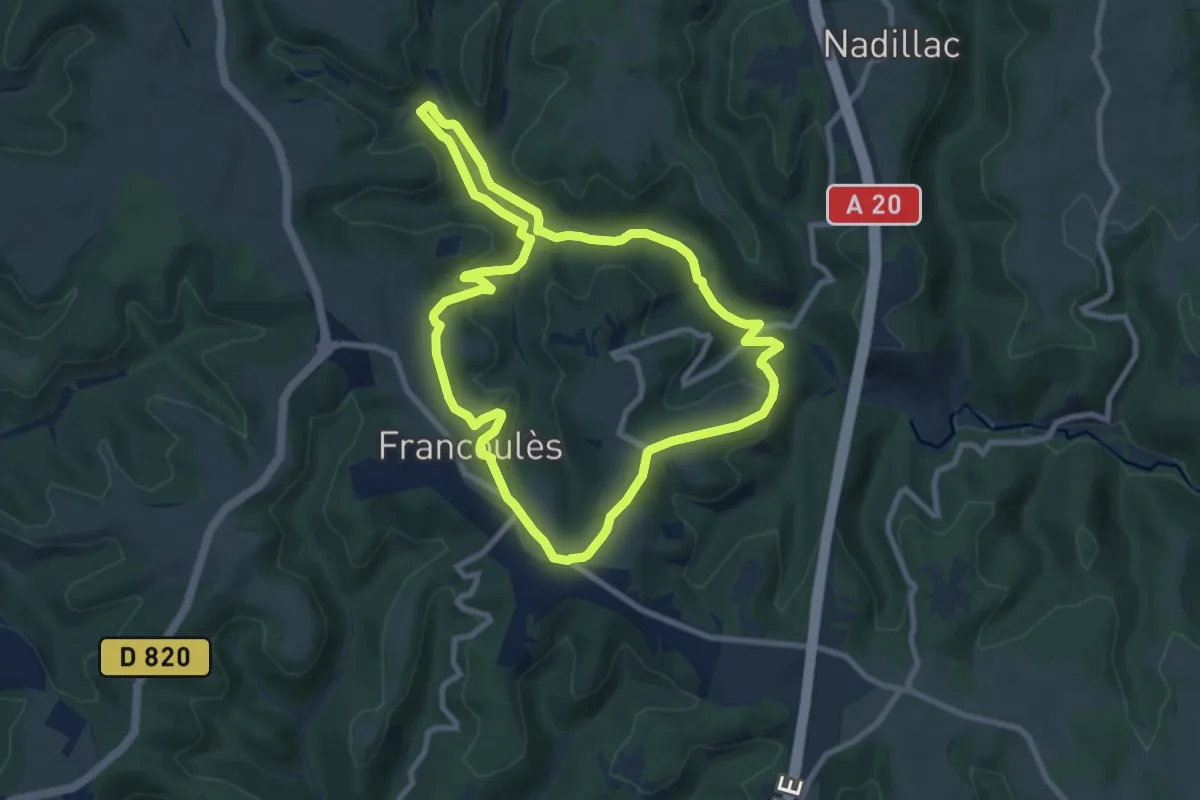
Medium · Trail
Allons voir si la Rauze
8.6 km · ↑ 195 m · 2 h 35 min · 11 km away
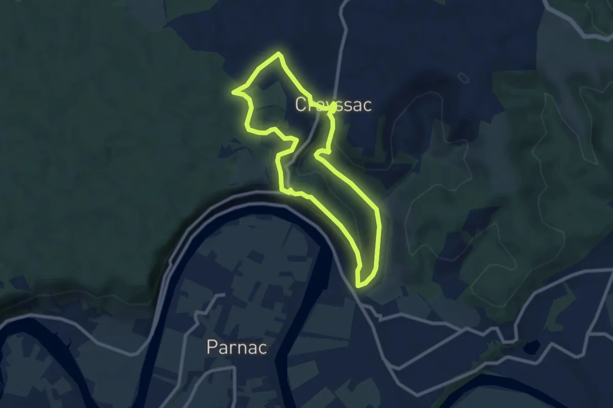
Easy · Trail
Le chemin de la Cévenne
6.6 km · ↑ 214 m · 2 h 7 min · 12 km away
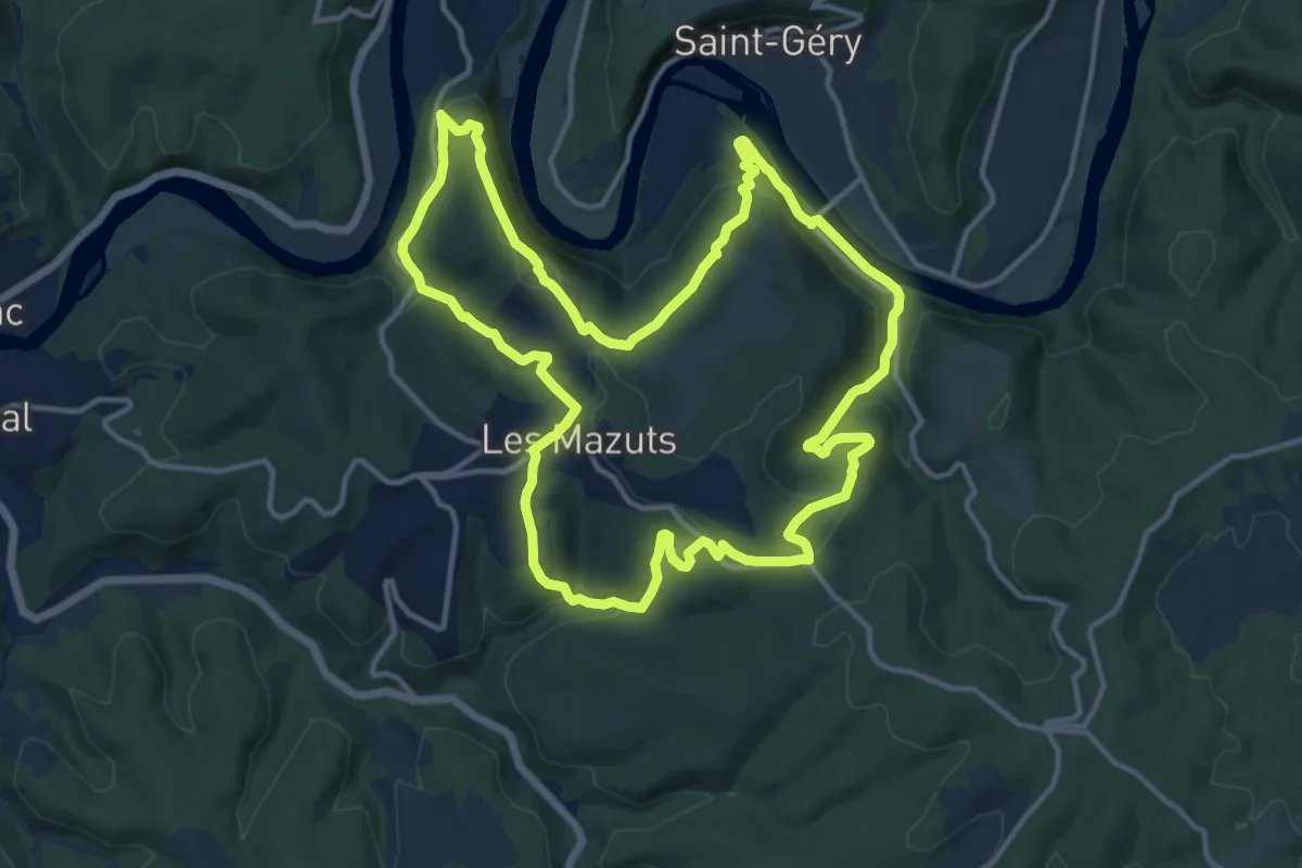
Medium · Trail
Circuit de la Cévenne de Bears
14.5 km · ↑ 508 m · 4 h 44 min · 12 km away
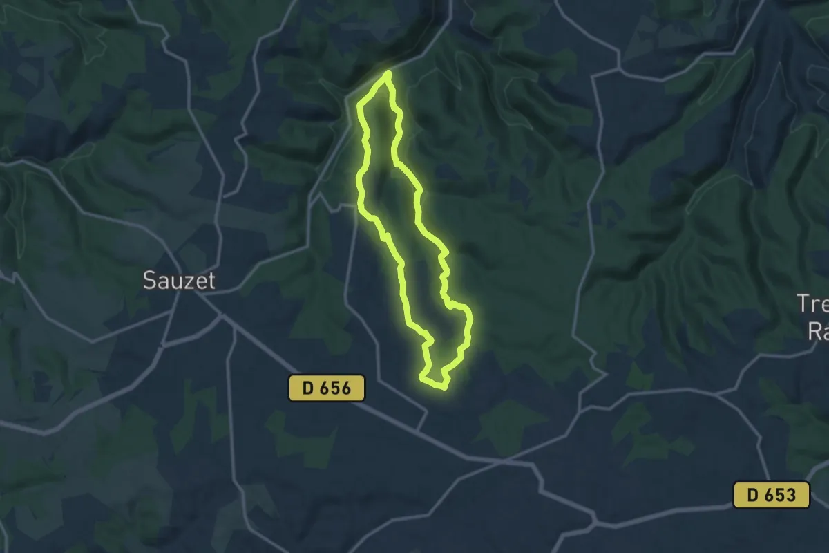
Medium · Trail
Circuit des gorges de Landorre
10.6 km · ↑ 224 m · 3 h 8 min · 12 km away
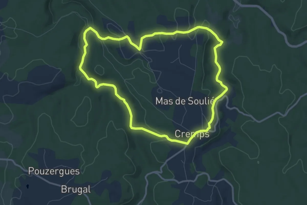
Medium · Trail
Chemin des Combes
8.7 km · ↑ 180 m · 2 h 34 min · 12 km away
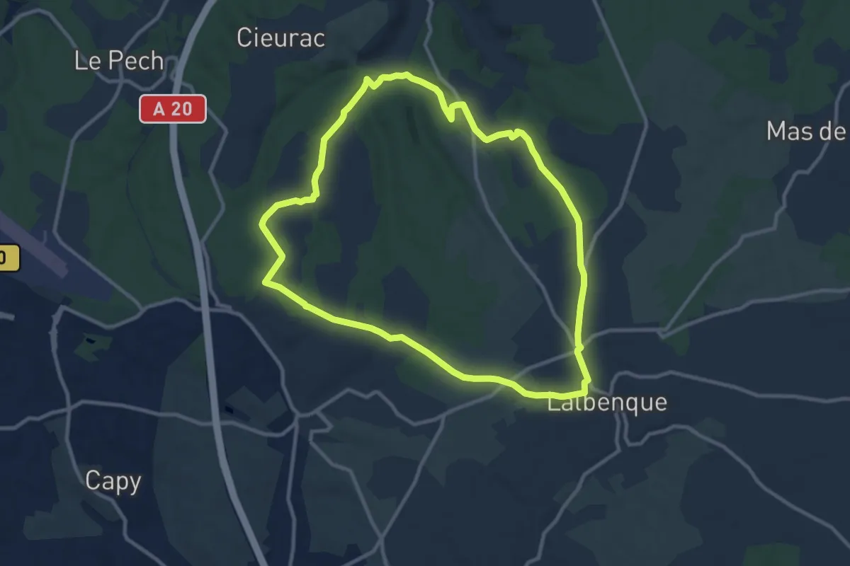
Medium · Trail
Sentier des truffes
10.6 km · ↑ 129 m · 2 h 56 min · 13 km away
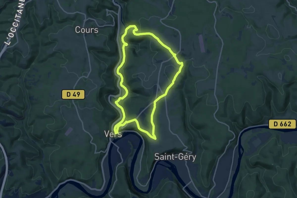
Medium · Trail
A Vercinge(to)ry
12.8 km · ↑ 297 m · 3 h 50 min · 13 km away
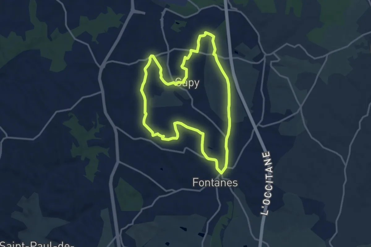
Medium · Trail
Circuit des saveurs
10.9 km · ↑ 131 m · 3 h · 13 km away
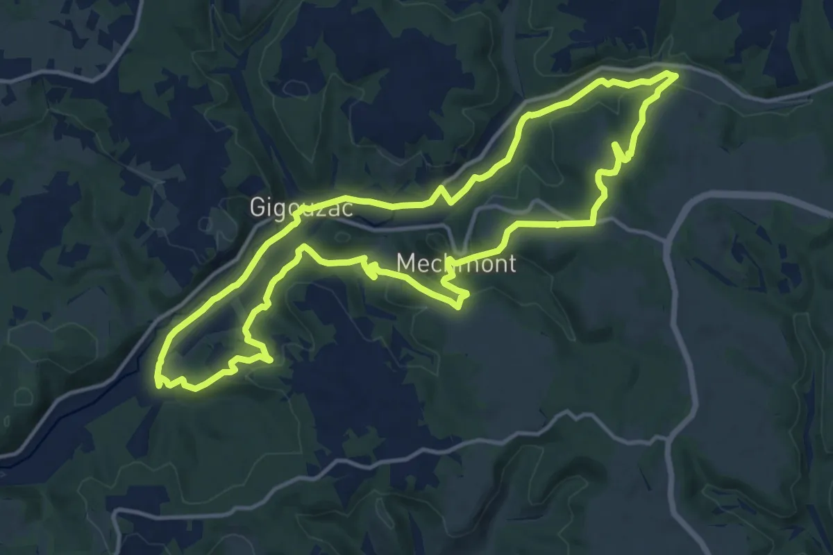
Medium · Trail
Le Vert, la belle et les châteaux
13.8 km · ↑ 285 m · 4 h 4 min · 13 km away
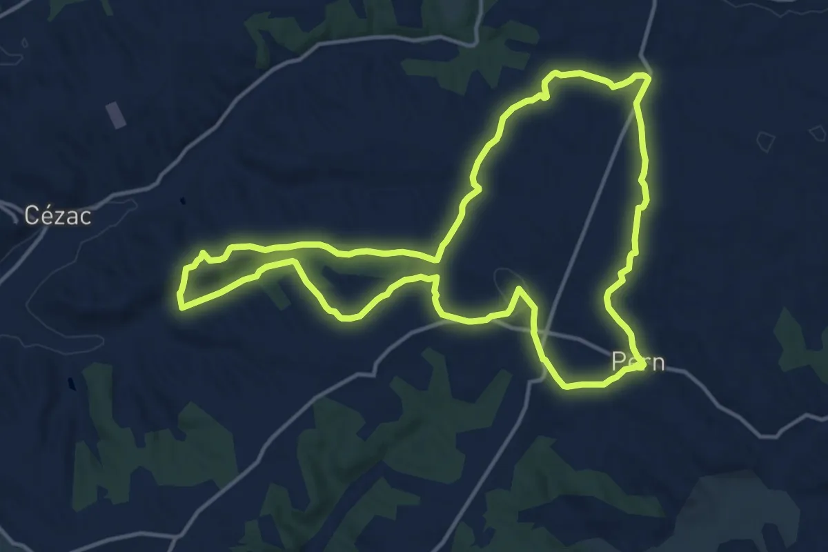
Medium · Trail
Circuit des chemins anciens de Pern
14.1 km · ↑ 153 m · 3 h 52 min · 14 km away
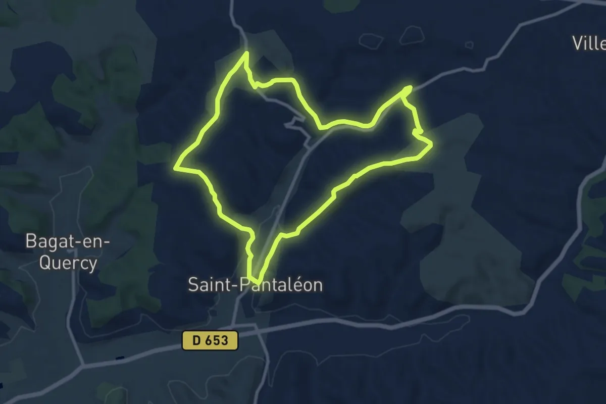
Medium · Trail
Circuit des deux crètes
9.3 km · ↑ 157 m · 2 h 40 min · 14 km away
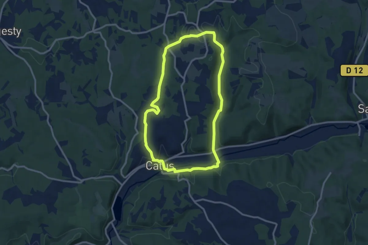
Easy · Trail
Le chemin des Prieurs
7.9 km · ↑ 178 m · 2 h 22 min · 14 km away
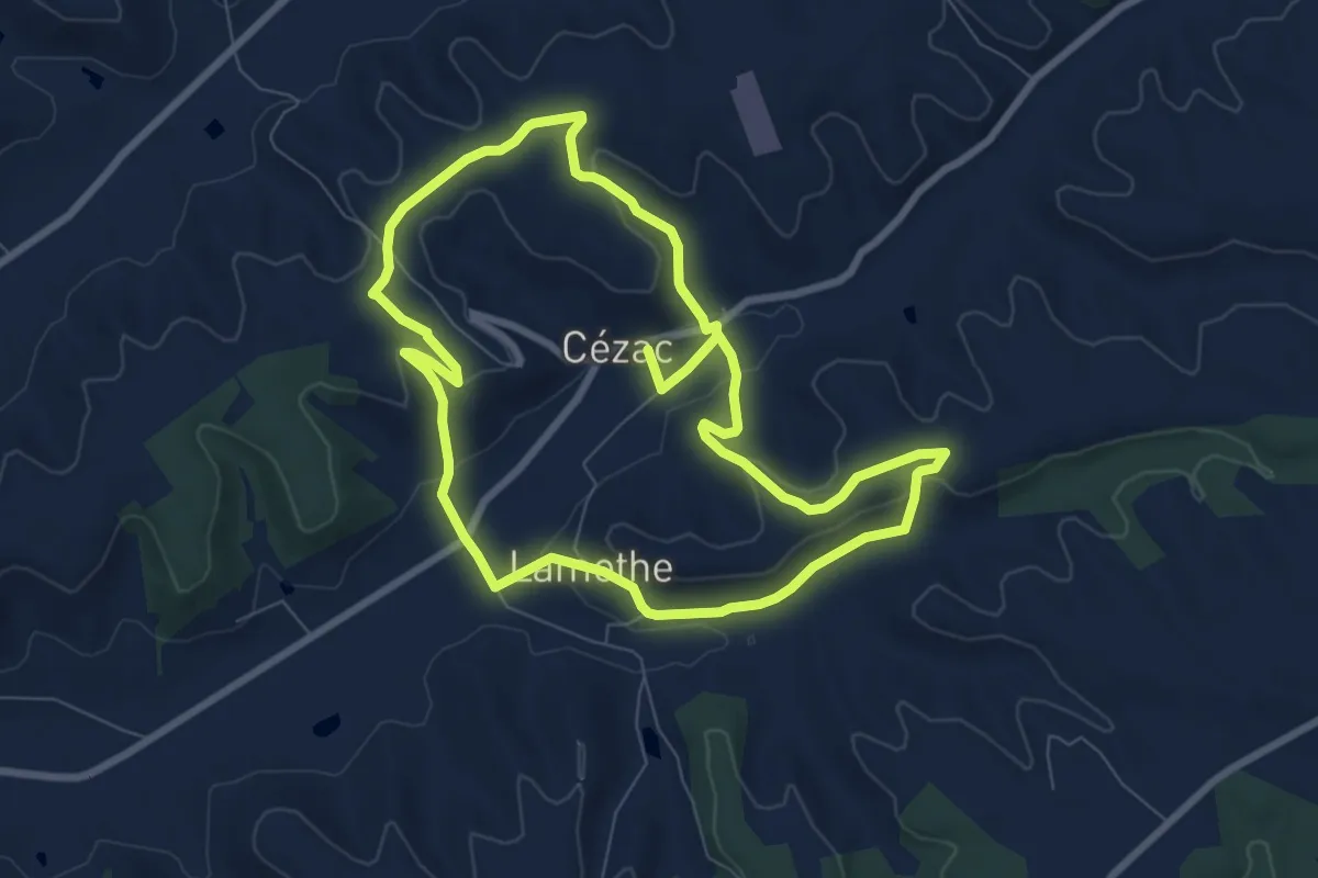
Medium · Trail
Les hauts sommets du Quercy Blanc
16.1 km · ↑ 374 m · 4 h 36 min · 14 km away
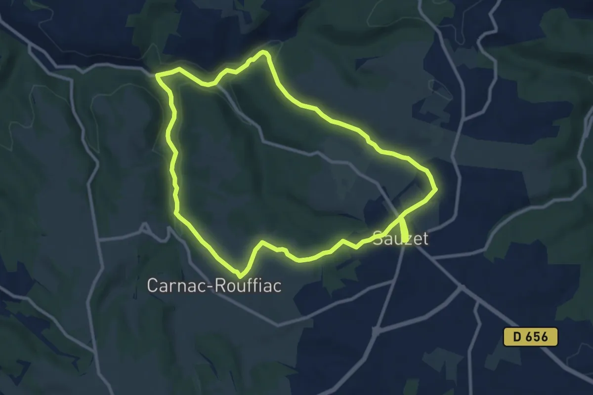
Medium · Trail
Circuit du Lissourgues
8.7 km · ↑ 175 m · 2 h 33 min · 15 km away