Trails near Carcassonne
29 hikes starting within 15 km, nearest first.
Nearest first
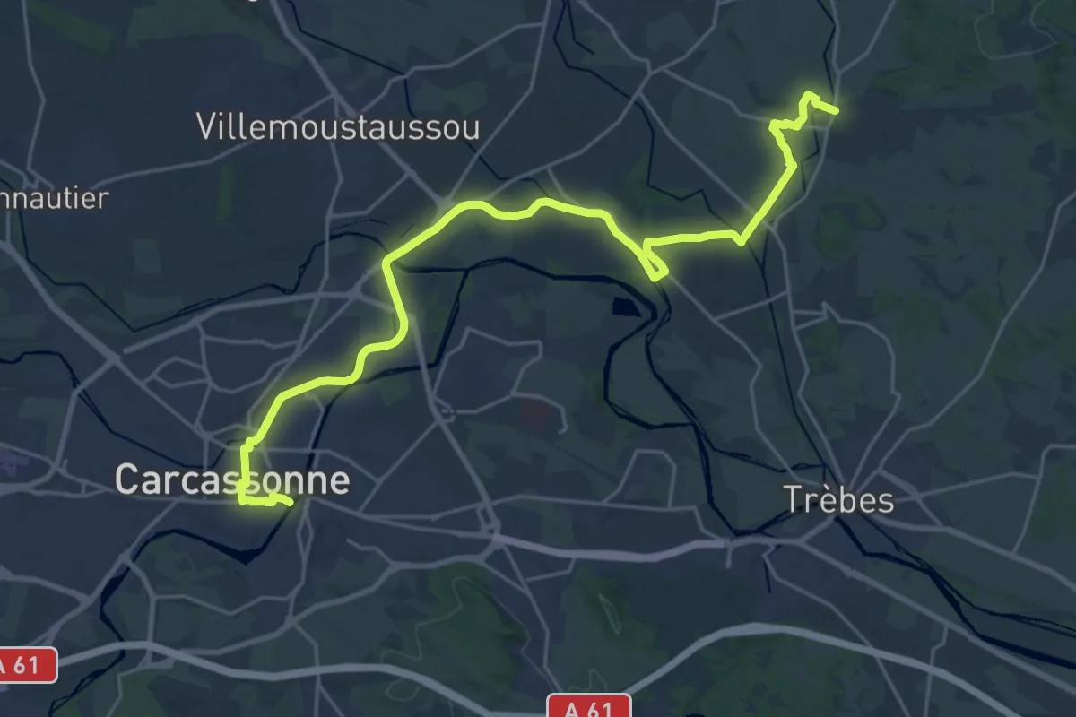
Demanding · Trail
Malves-en-Minervois – Carcassonne
27.6 km · ↑ 185 m · 6 h 55 min · 1 km away
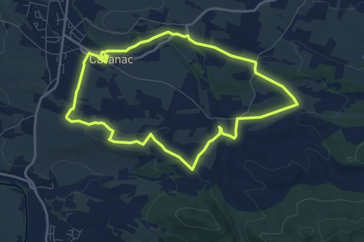
Easy · Trail
Sur les Traces du Brigand
7.3 km · ↑ 101 m · 2 h 3 min · 5 km away
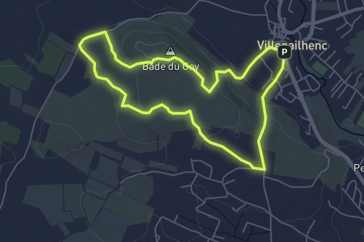
Easy · Summit
Sur le Plateau de la Bade
4.8 km · ↑ 103 m · 1 h 26 min · 6 km away
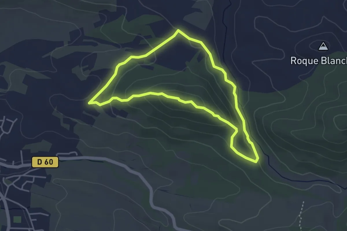
Easy · Summit
Les Justices
3.8 km · ↑ 107 m · 1 h 10 min · 7 km away
Demanding · Summit
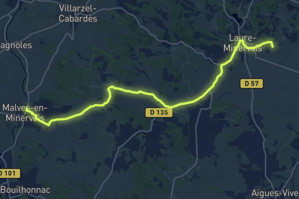
Rieux-Minervois – Malves-en-Minervois
19.9 km · ↑ 245 m · 5 h 14 min · 9 km away
Easy · Trail
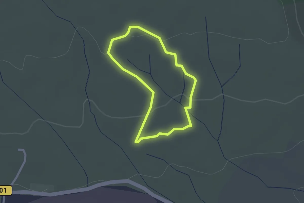
Les Capitelles - Le Ruisseau de la Garrigue
1.8 km · ↑ 32 m · 31 min · 9 km away
Easy · Trail
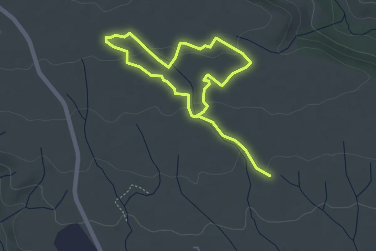
Les Capitelles - La Plaine de la Cocalière
3.3 km · ↑ 66 m · 58 min · 9 km away
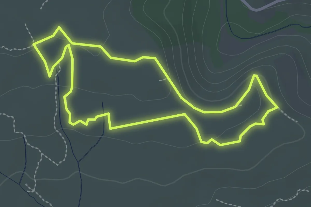
Easy · Trail
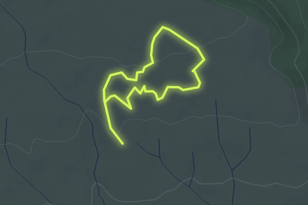
Les Capitelles - Les Murailles d'Aribaud
2.0 km · ↑ 28 m · 34 min · 9 km away
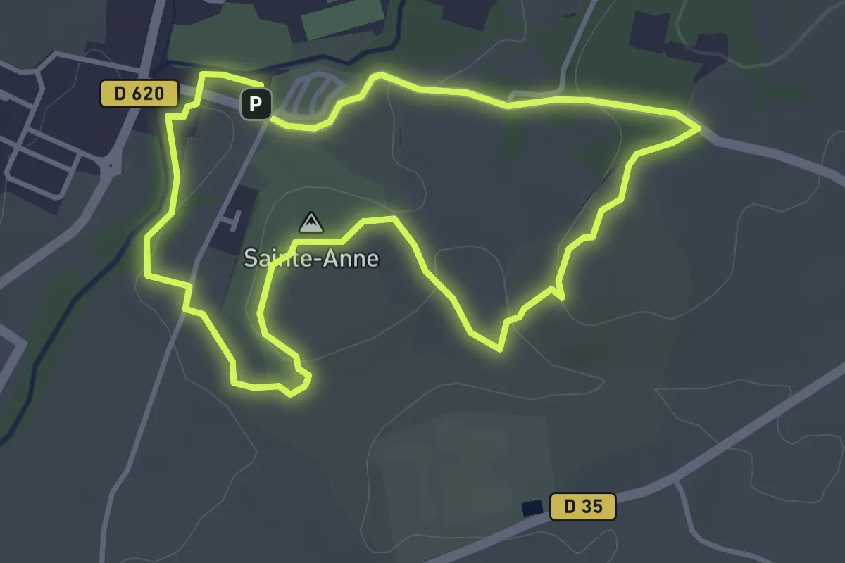
Easy · Trail
Les Capitelles - Le Cagarot
2.7 km · ↑ 54 m · 47 min · 9 km away
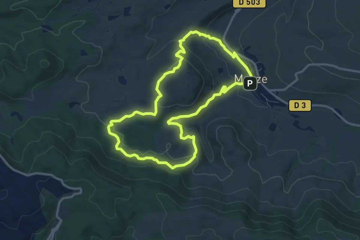
Easy · Summit
Le Moulin
3.7 km · ↑ 63 m · 1 h 3 min · 11 km away
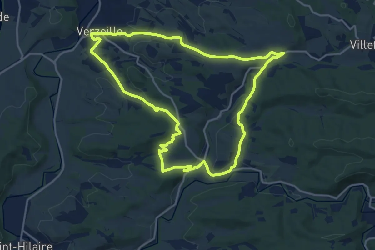
Easy · Trail
Autour de Matelbine
7.6 km · ↑ 213 m · 2 h 22 min · 11 km away
Medium · Summit
Boucle de Verzeille
11.1 km · ↑ 230 m · 3 h 16 min · 12 km away
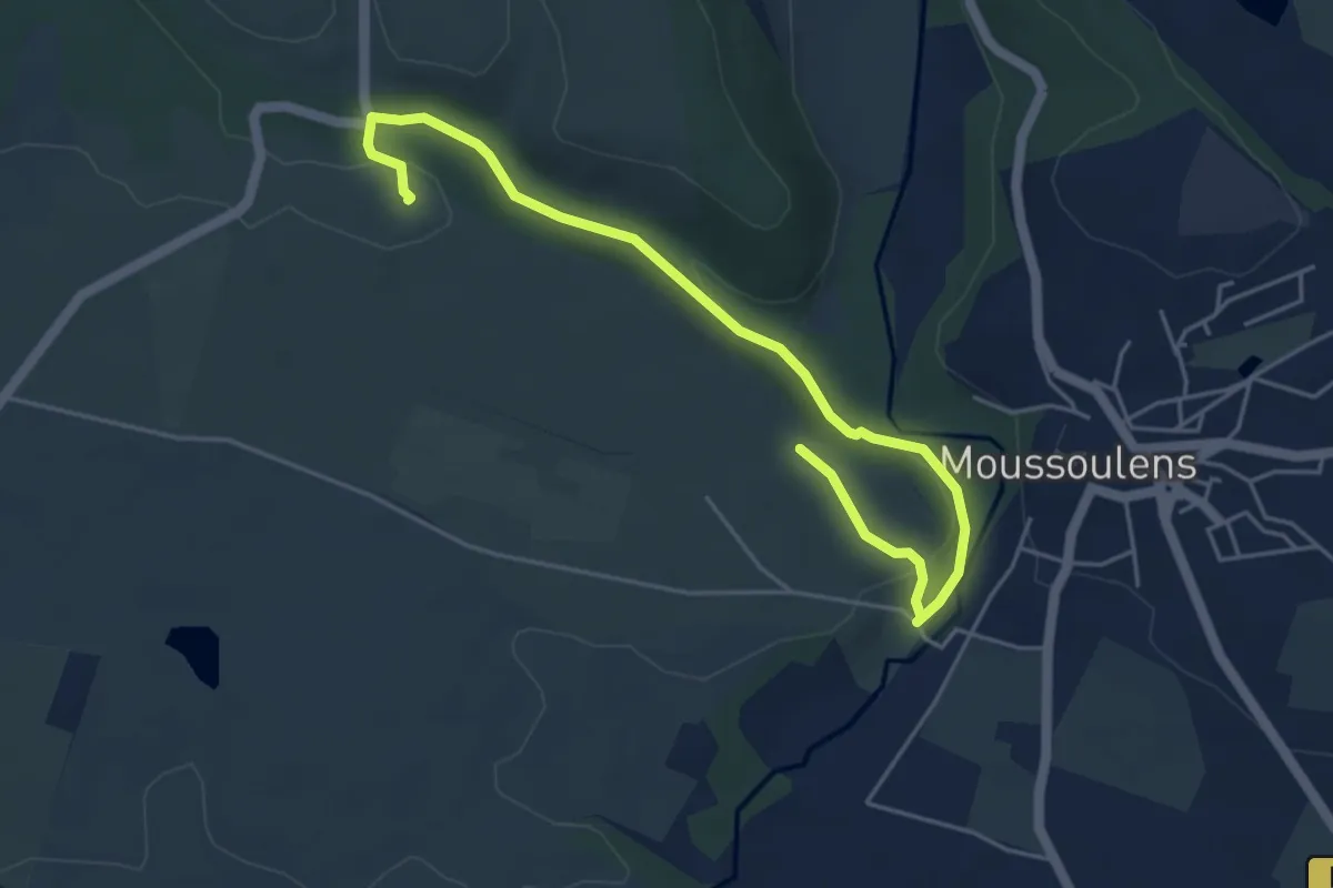
Easy · Trail
Sentier de la Combe à la Bitarelle
5.9 km · ↑ 114 m · 1 h 39 min · 13 km away
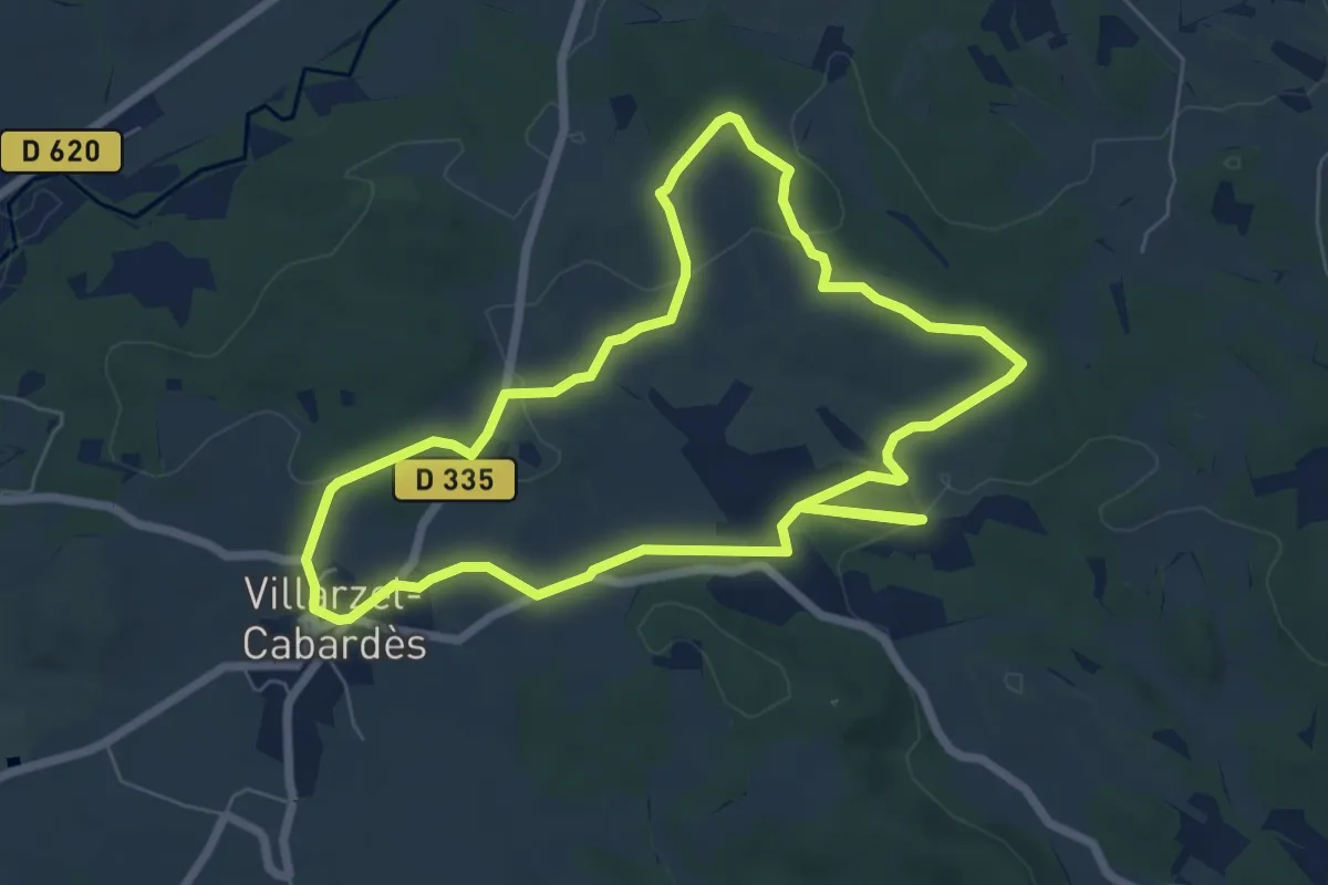
Easy · Trail
Sur les Traces des Wisigoths
7.2 km · ↑ 98 m · 2 h 1 min · 13 km away
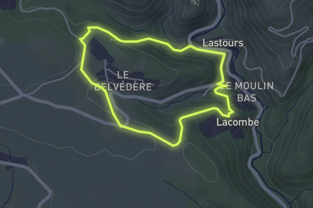
Easy · Trail
Les Sentinelles de l'Orbiel
3.2 km · ↑ 125 m · 1 h 3 min · 13 km away
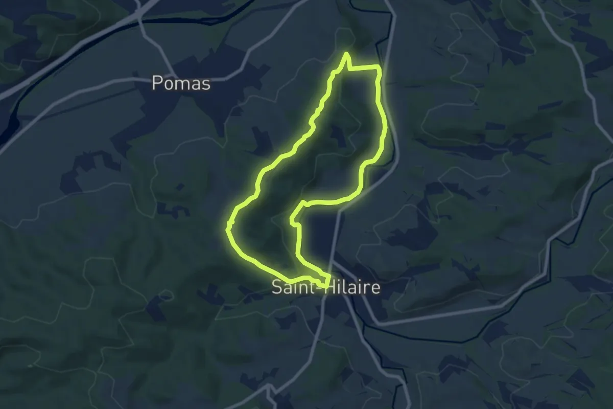
Easy · Trail
Boucle de Saint-Hilaire
7.2 km · ↑ 165 m · 2 h 9 min · 14 km away
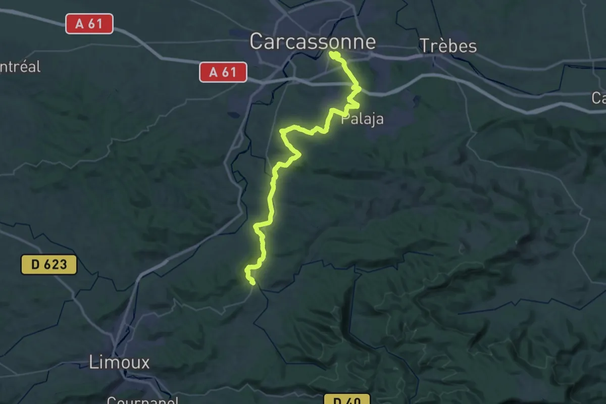
Demanding · Trail
Péiras e Vinhas
23.1 km · ↑ 291 m · 6 h 25 min · 14 km away
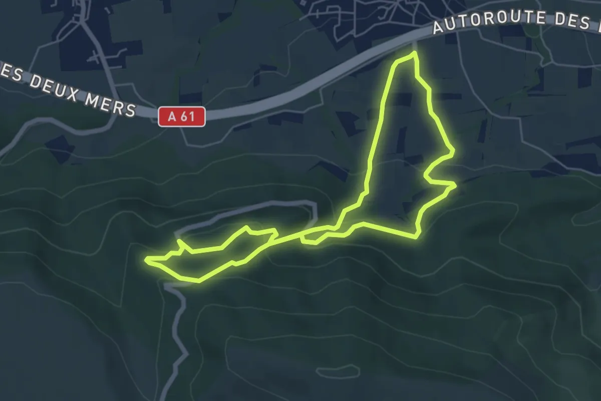
Easy · Trail
Autour de Miramont
5.4 km · ↑ 280 m · 1 h 58 min · 14 km away
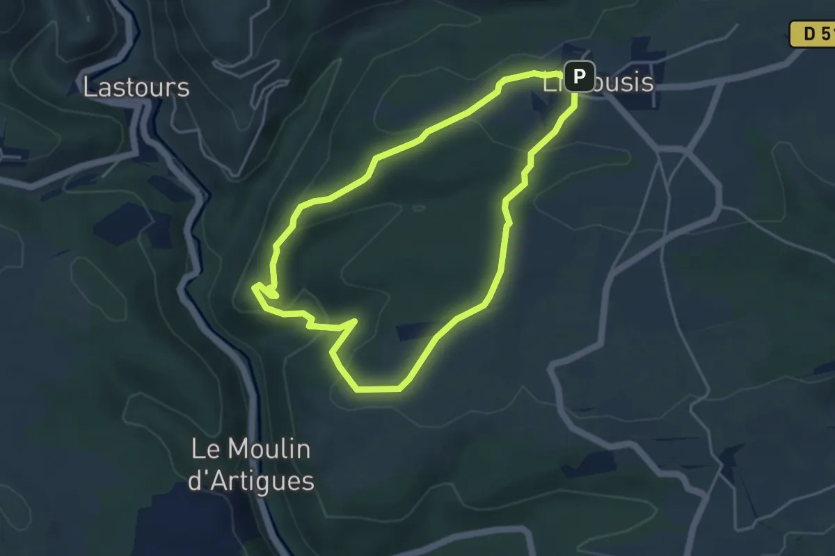
Easy · Trail
La Combe de la Balboune
4.1 km · ↑ 128 m · 1 h 18 min · 14 km away
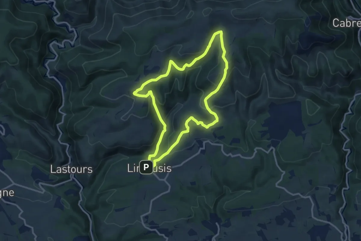
Medium · Summit
Sentier du Bosc Grand
9.9 km · ↑ 395 m · 3 h 20 min · 14 km away
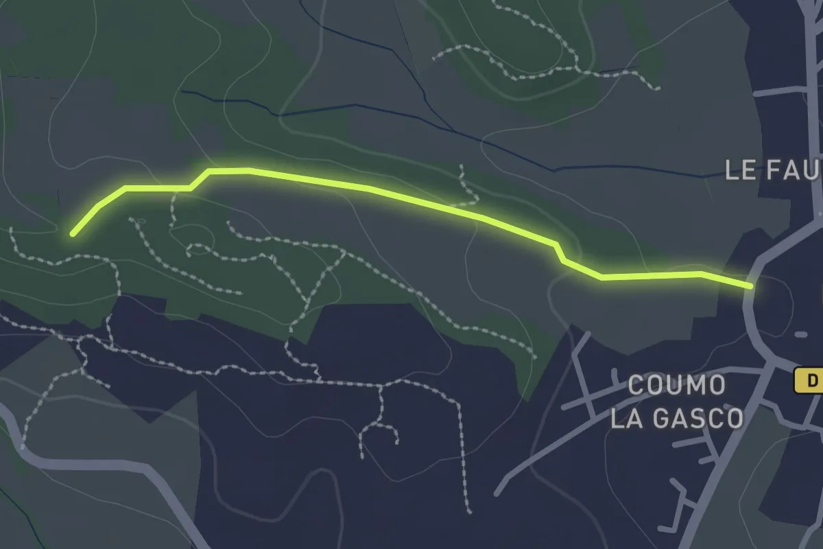
Easy · Trail
Sentier des Capitelles - Retour 1
2.4 km · ↑ 46 m · 40 min · 14 km away
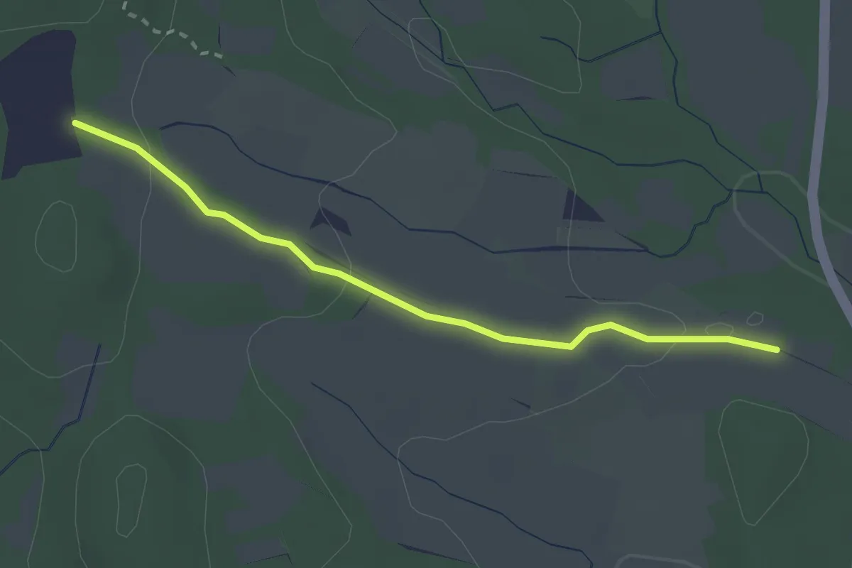
Easy · Trail
Sentier des Capitelles - Retour 3
2.8 km · ↑ 51 m · 46 min · 14 km away
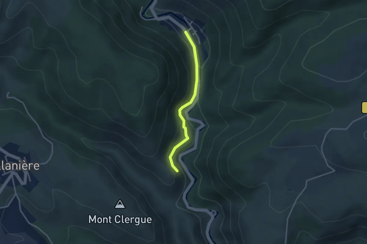
Easy · Trail
Le Saut de Roland
2.5 km · ↑ 113 m · 50 min · 14 km away
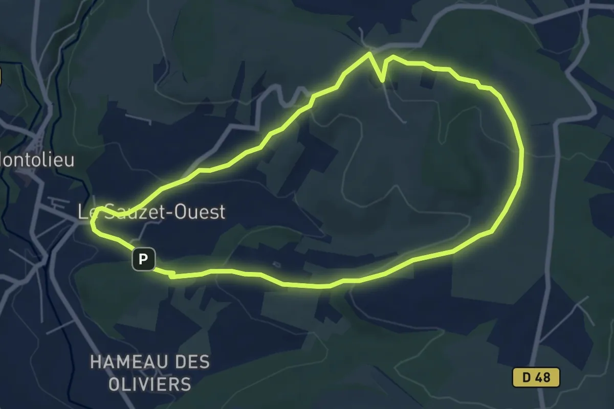
Easy · Trail
La chapelle Saint Roch
5.9 km · ↑ 160 m · 1 h 50 min · 15 km away
Medium · Summit
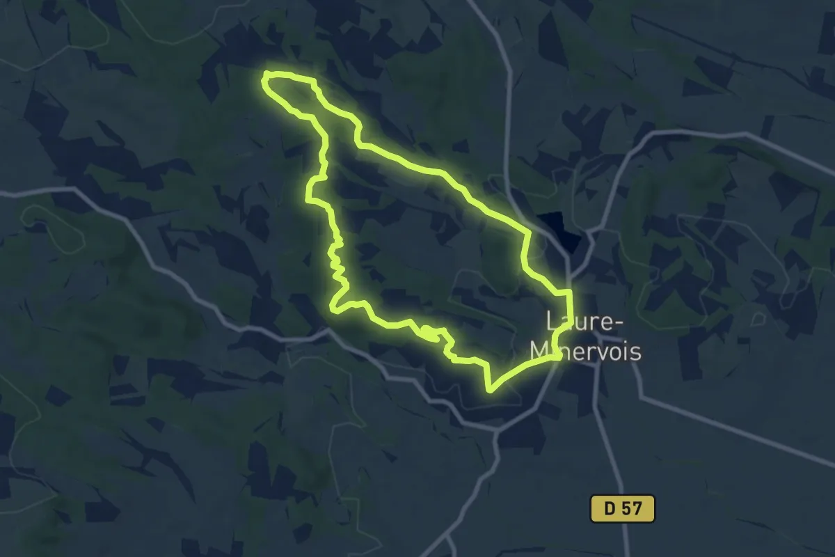
Sentier des Capitelles - Retour 4
8.3 km · ↑ 149 m · 2 h 25 min · 15 km away
Medium · Trail
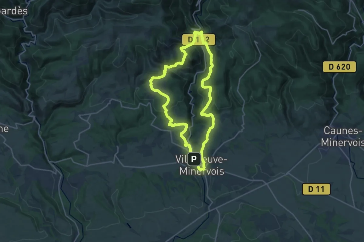
Le Sentier de la Truffe
16.4 km · ↑ 671 m · 5 h 33 min · 15 km away
Medium · Trail
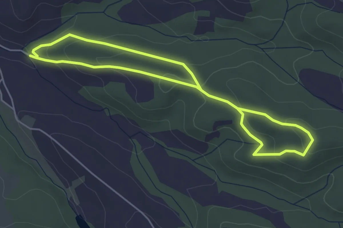
Bois du Chapitre
8.0 km · ↑ 267 m · 2 h 29 min · 15 km away
Medium · Trail
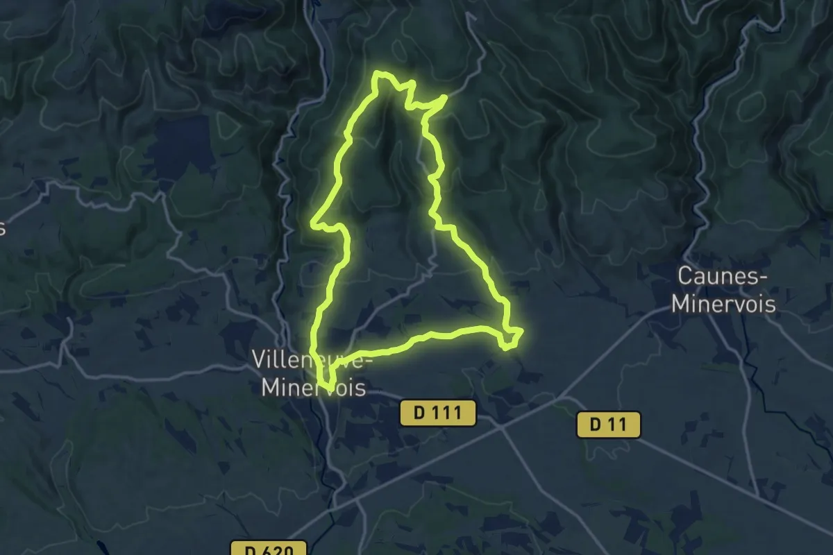
Sentier du Marbre - Boucle de Villeneuve
14.1 km · ↑ 435 m · 4 h 28 min · 15 km away
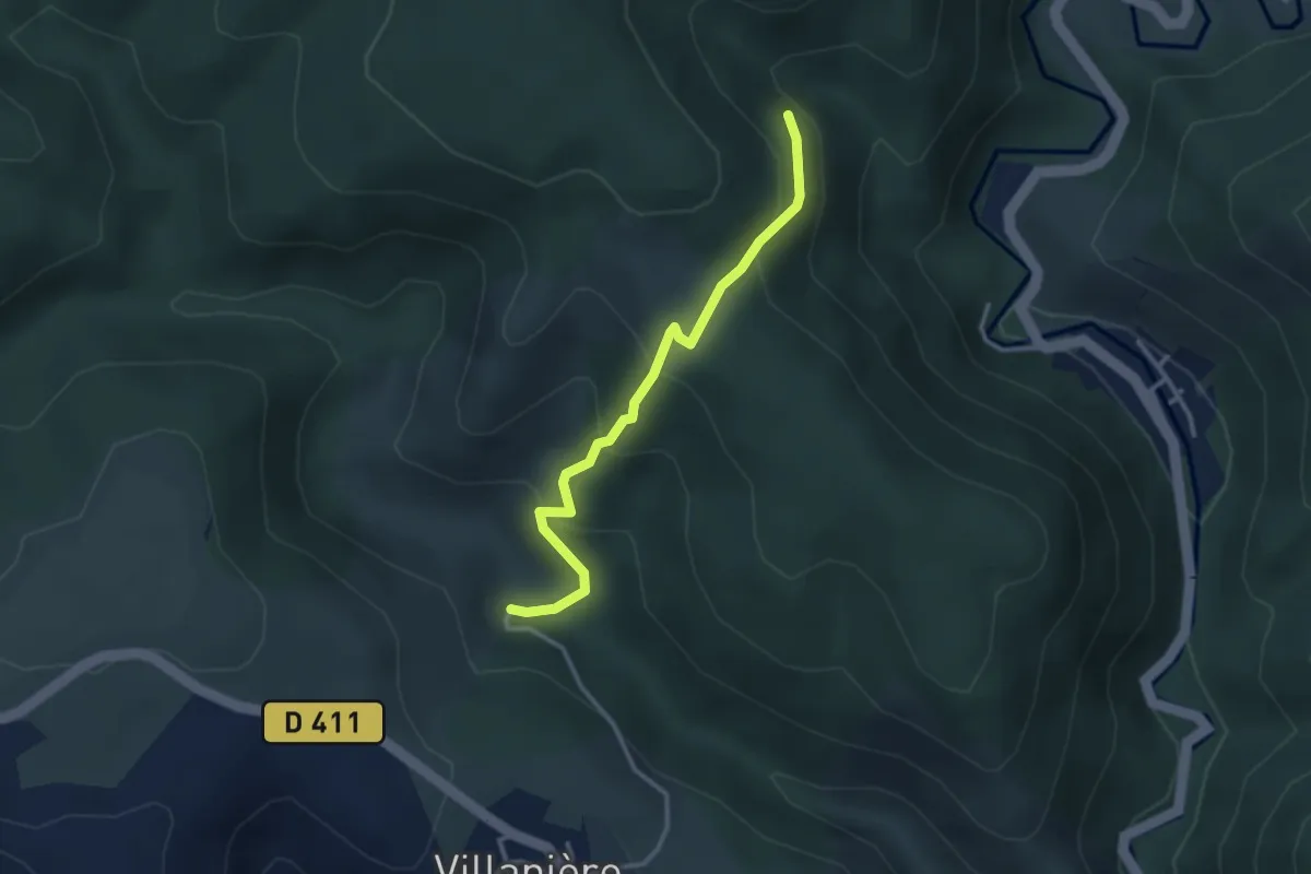
Easy · Trail
Le Sentier des mineurs
3.1 km · ↑ 209 m · 1 h 12 min · 15 km away