Trails near Chamalières
76 hikes starting within 15 km, nearest first.
Nearest first, page 2 of 2
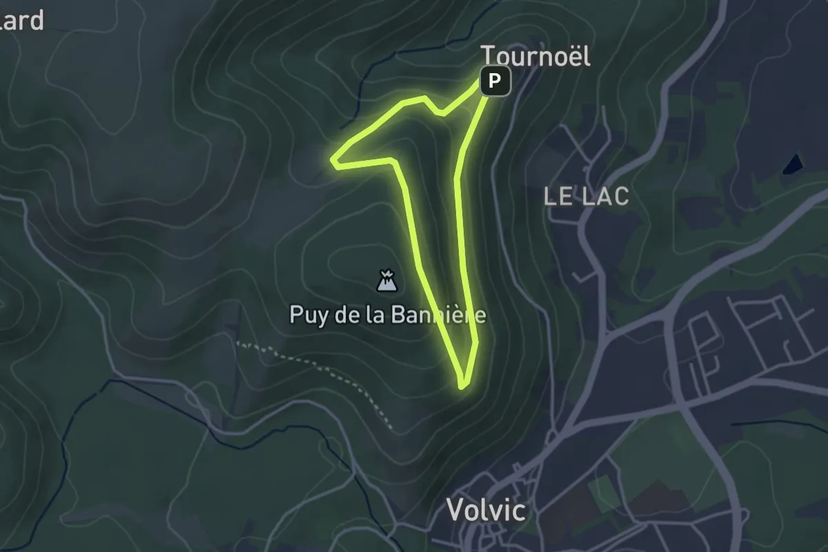
Easy · Summit
Le Château de Tournoël
2.6 km · ↑ 106 m · 53 min · 12 km away
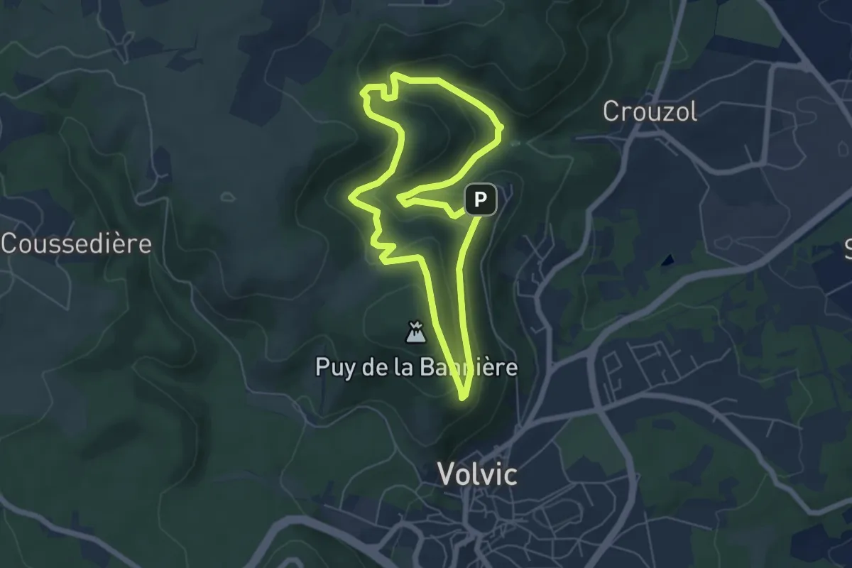
Easy · Summit
Tournoel
5.4 km · ↑ 244 m · 1 h 52 min · 12 km away
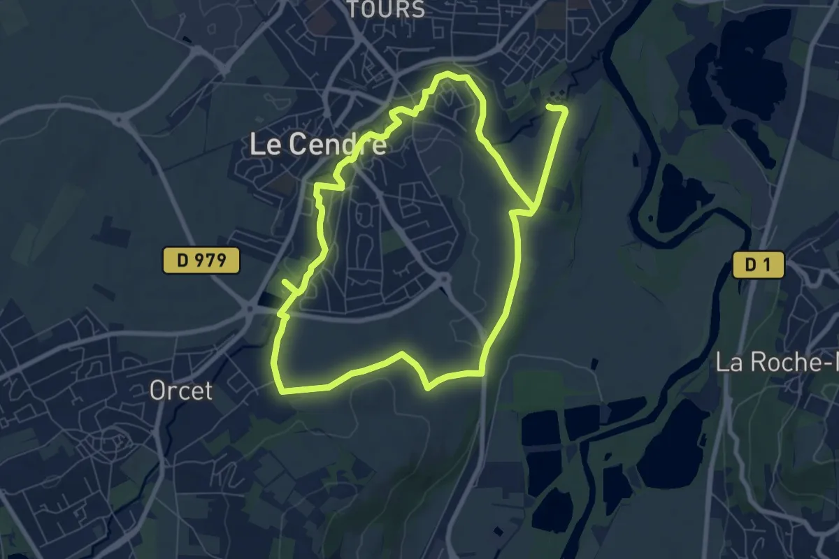
Easy · Trail
De l'Auzon a Gondole
7.6 km · ↑ 56 m · 2 h 2 min · 12 km away
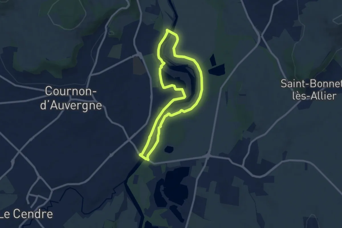
Easy · Trail
Bords d'Allier
6.6 km · ↑ 19 m · 1 h 41 min · 12 km away
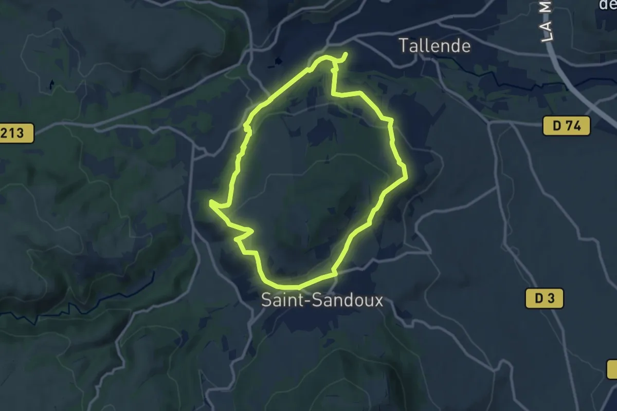
Medium · Trail
Le Puy de Peyronere
9.5 km · ↑ 279 m · 2 h 58 min · 12 km away
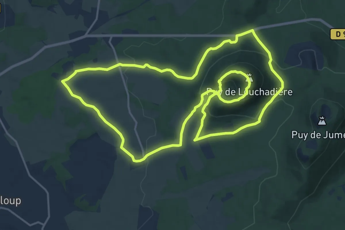
Medium · Summit
Le Puy de Louchadiere
12.7 km · ↑ 421 m · 4 h 5 min · 13 km away
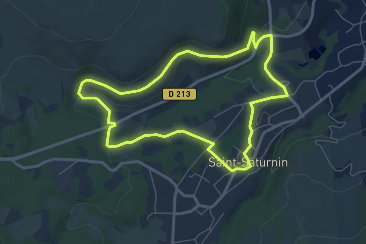
Easy · Trail
Les Cirques de longevette et des Cotes
5.3 km · ↑ 107 m · 1 h 34 min · 13 km away
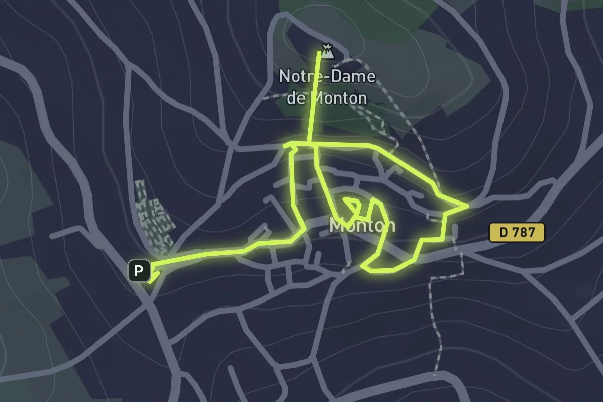
Easy · Summit
Parcours historique de Monton
3.4 km · ↑ 165 m · 1 h 10 min · 13 km away
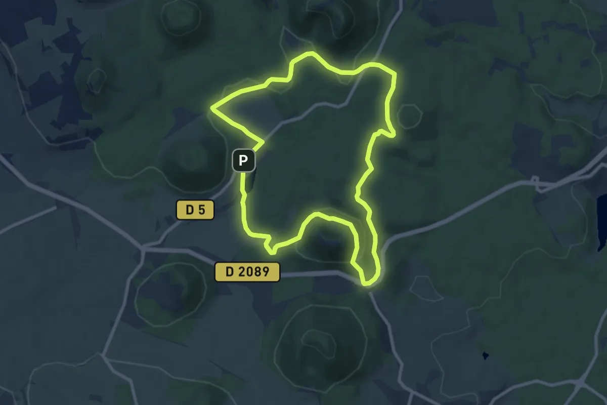
Medium · Summit
Le Puy de Vichatel
8.1 km · ↑ 161 m · 2 h 22 min · 13 km away
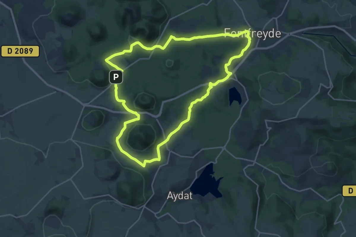
Medium · Cabin
Les Cheires Hautes
15.8 km · ↑ 266 m · 4 h 32 min · 13 km away
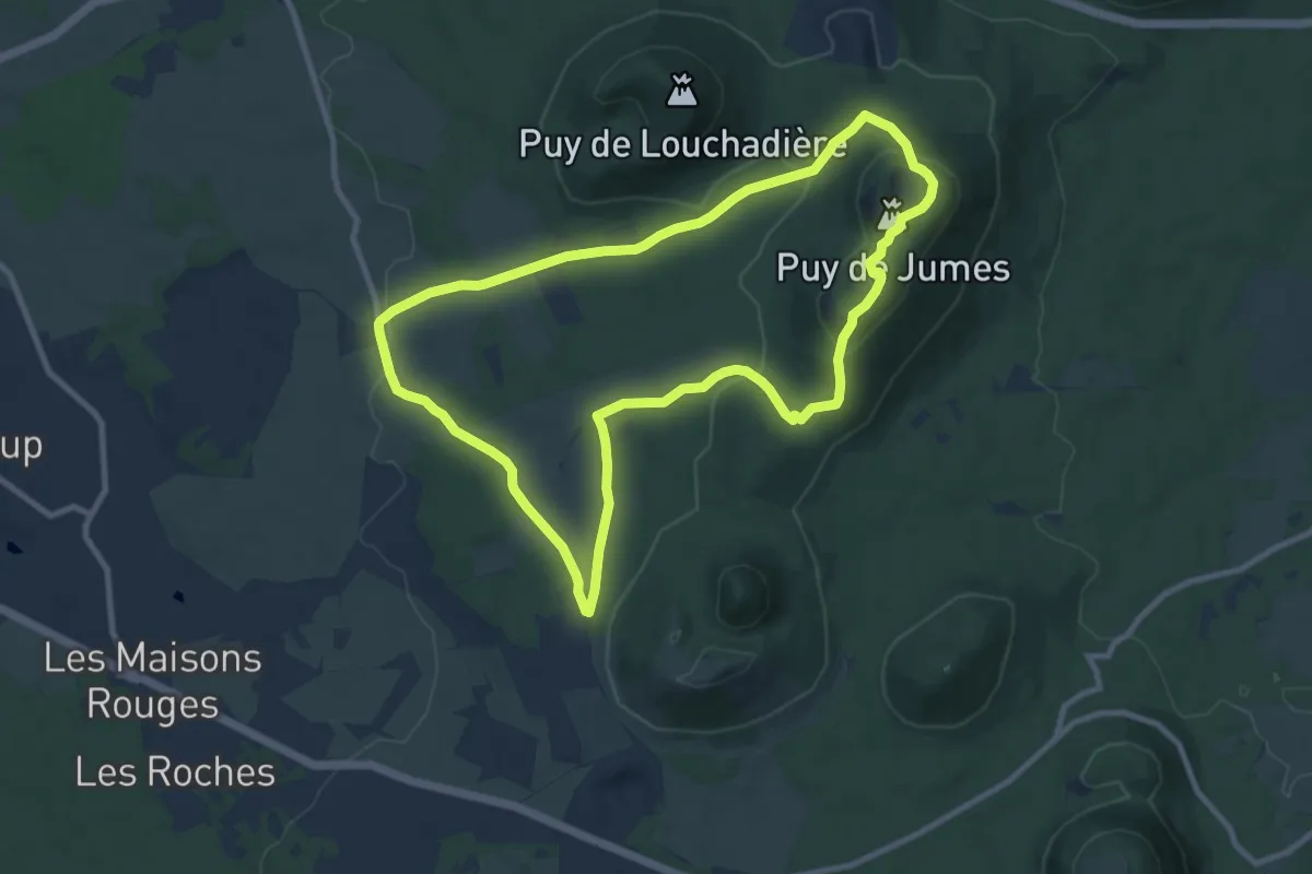
Medium · Summit
Les Puys de Jumes et de la Coquille
9.7 km · ↑ 302 m · 3 h 5 min · 13 km away
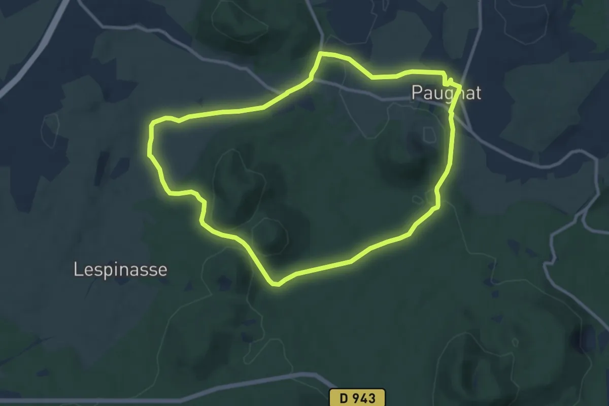
Medium · Trail
Le Puy de Paugnat
8.8 km · ↑ 130 m · 2 h 29 min · 13 km away
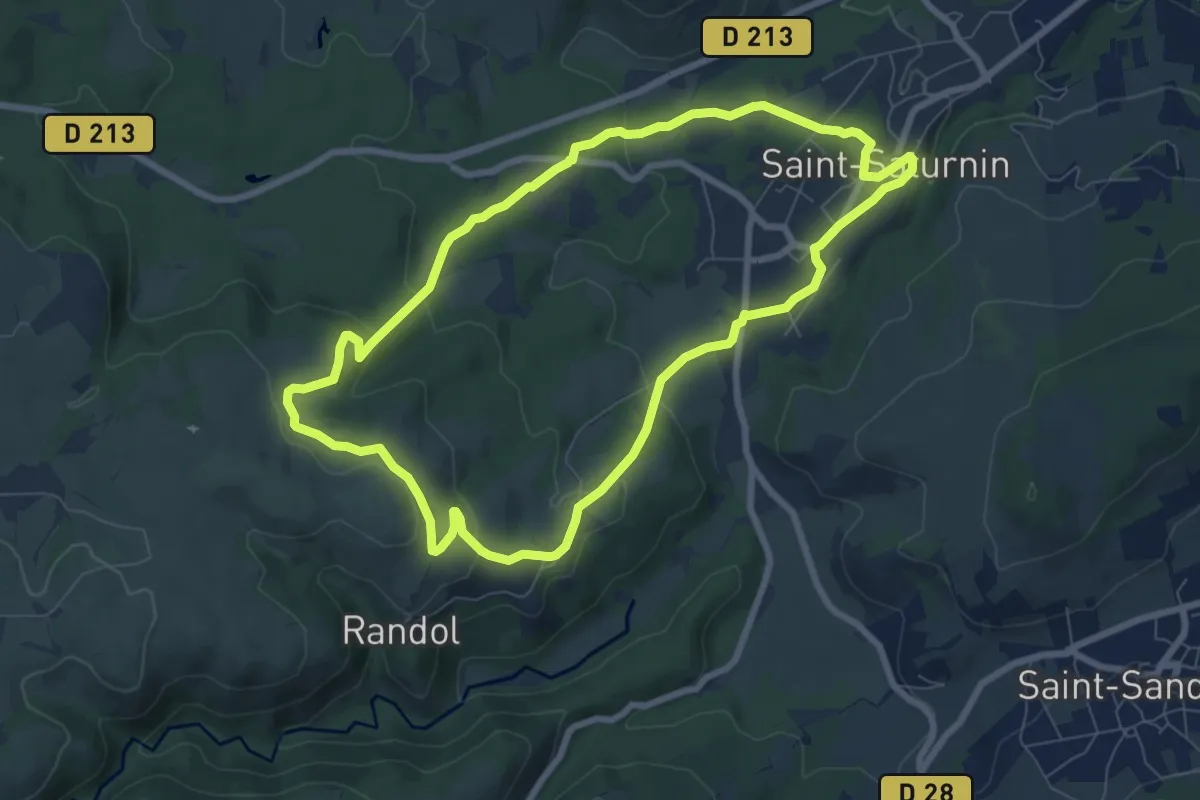
Easy · Trail
Randol
7.8 km · ↑ 194 m · 2 h 22 min · 13 km away
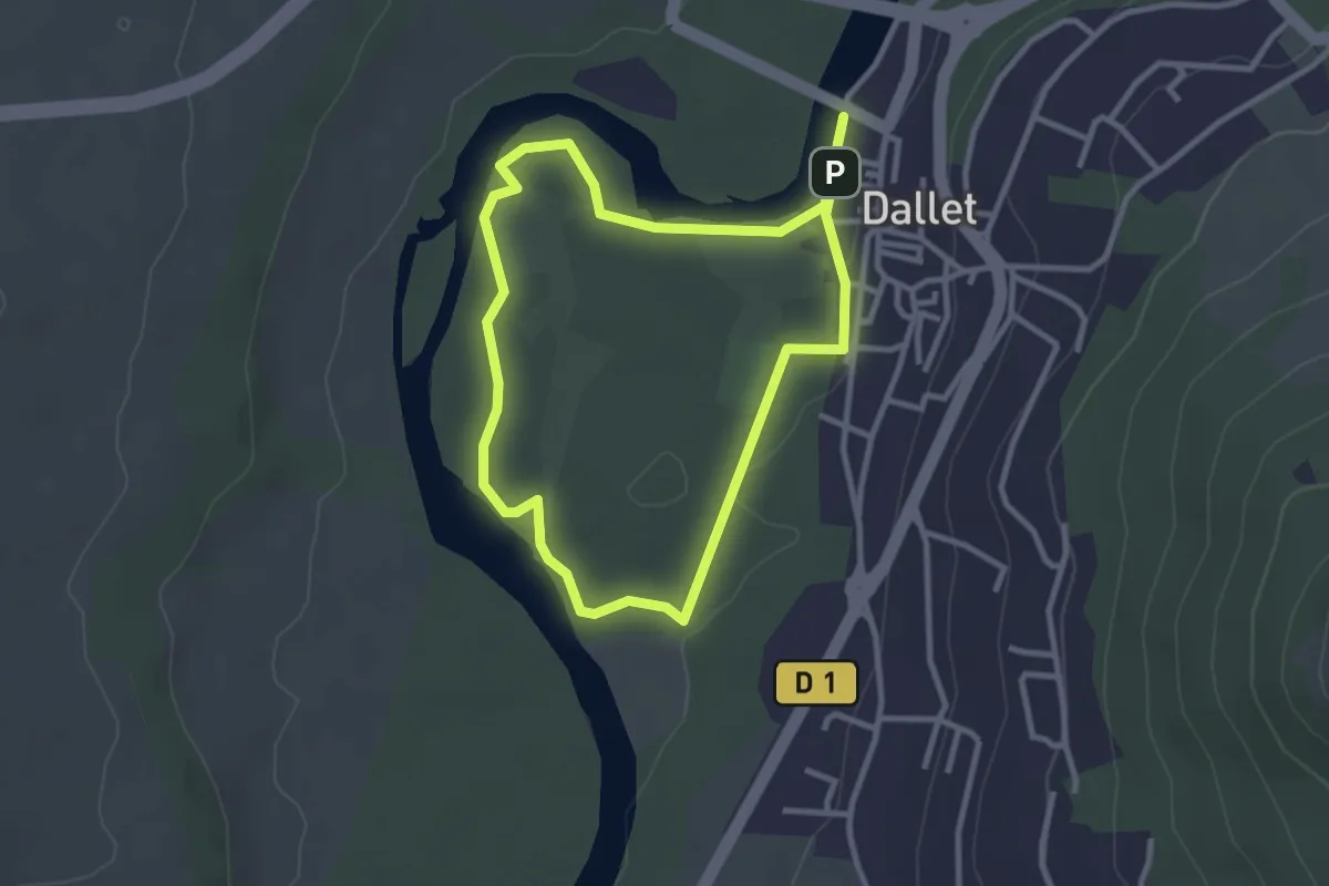
Easy · Trail
Dallet, Au fil de l'Allier
2.8 km · ↑ 4 m · 42 min · 13 km away
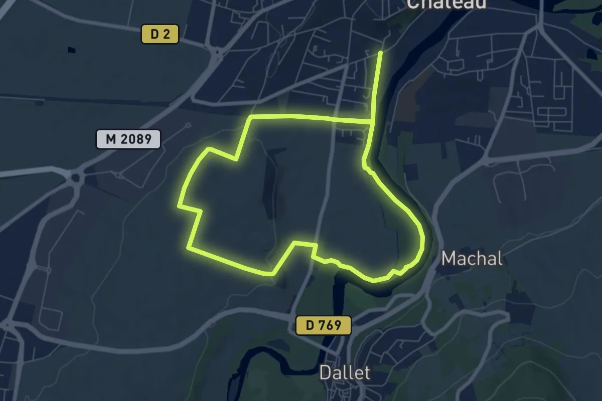
Easy · Trail
De Marchal a Cortal
6.5 km · ↑ 66 m · 1 h 46 min · 13 km away
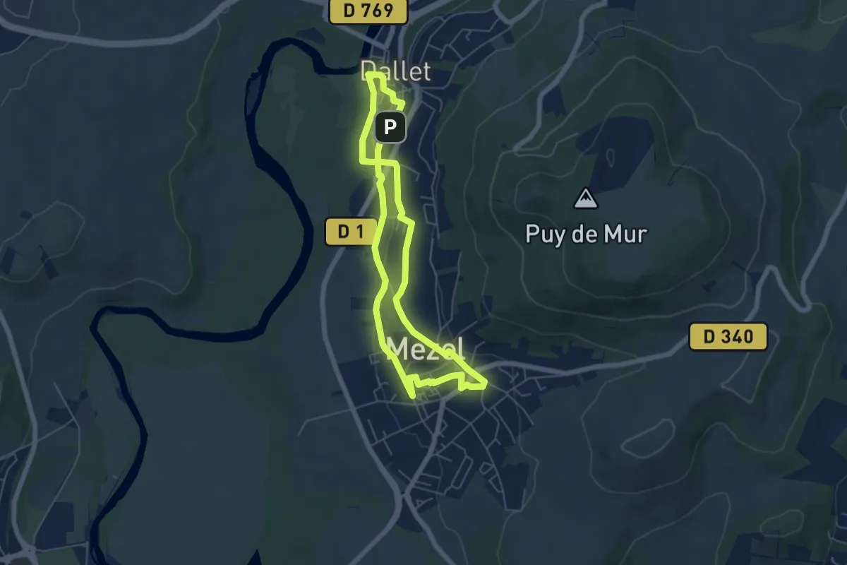
Easy · Trail
Les sentiers de la forme "A la découverte des bourgs"
5.2 km · ↑ 91 m · 1 h 30 min · 13 km away
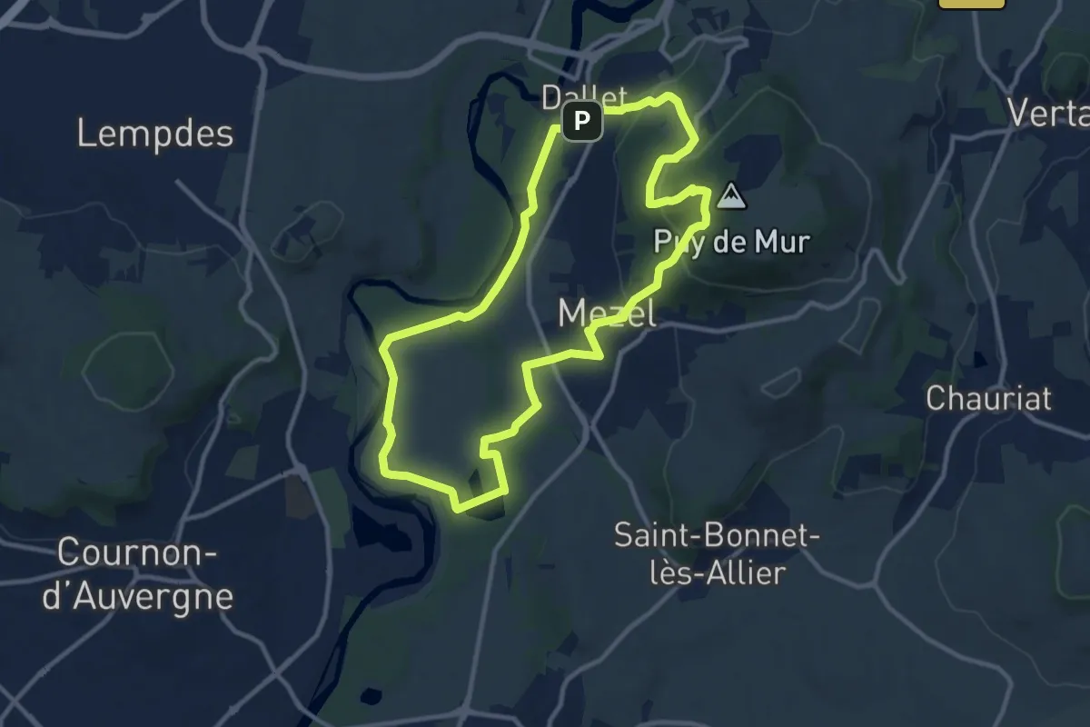
Medium · Summit
L'ascension du Puy de Mur
10.6 km · ↑ 291 m · 3 h 16 min · 13 km away
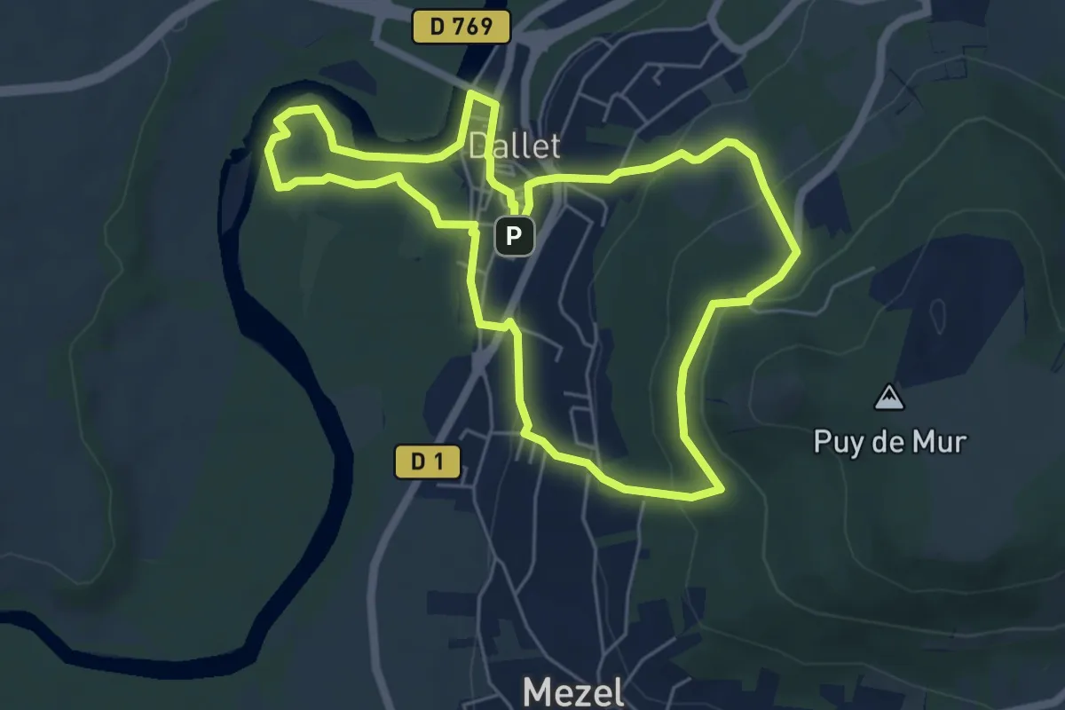
Easy · Trail
De l'Allier au Puy de Mur
5.7 km · ↑ 186 m · 1 h 50 min · 13 km away
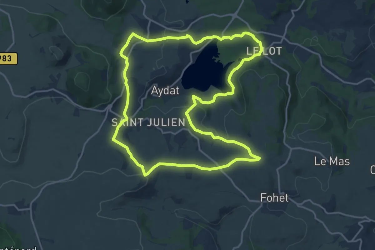
Medium · Trail
Le Lac d'Aydat
12.8 km · ↑ 267 m · 3 h 47 min · 13 km away
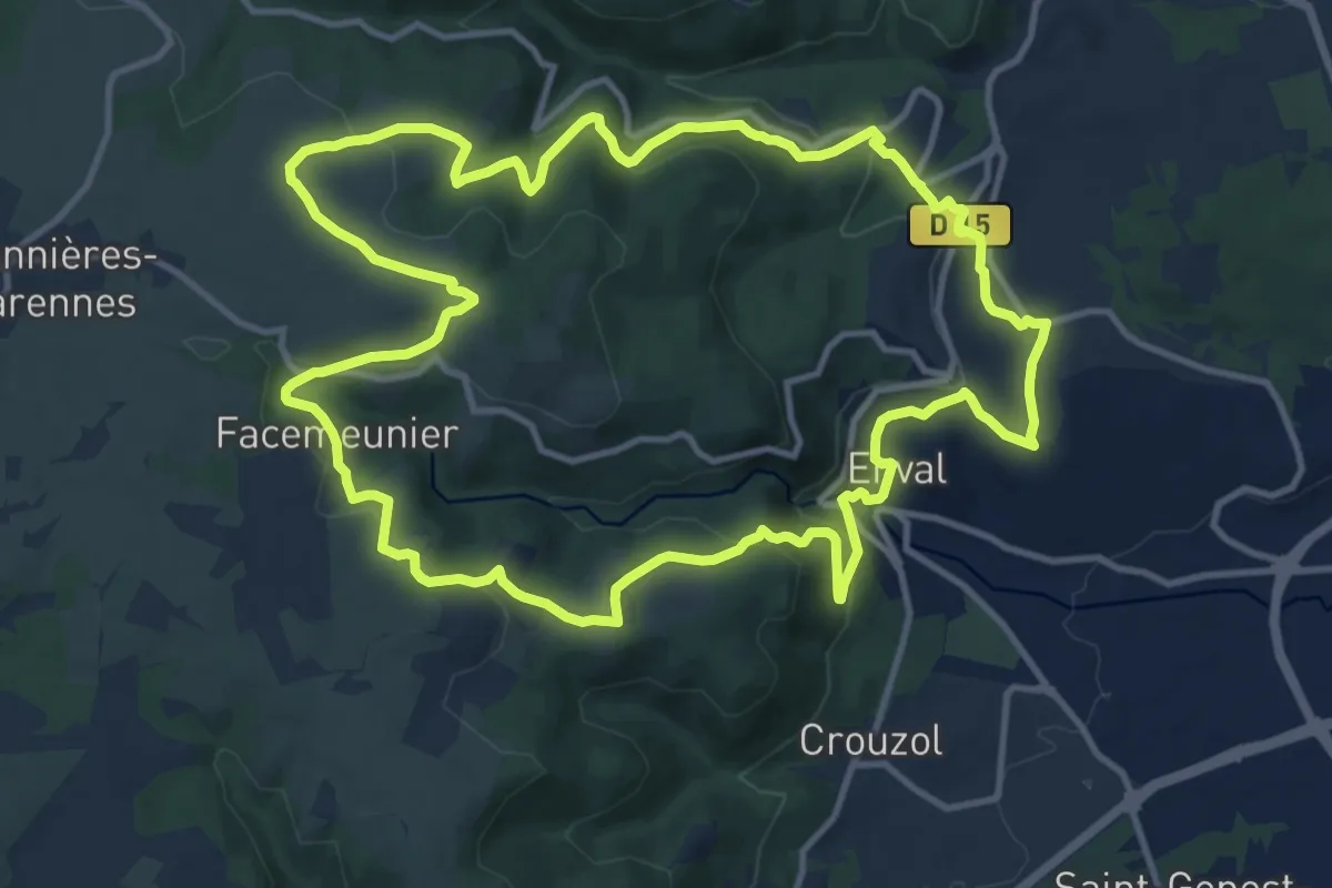
Medium · Trail
Montaclier
13.4 km · ↑ 405 m · 4 h 14 min · 14 km away
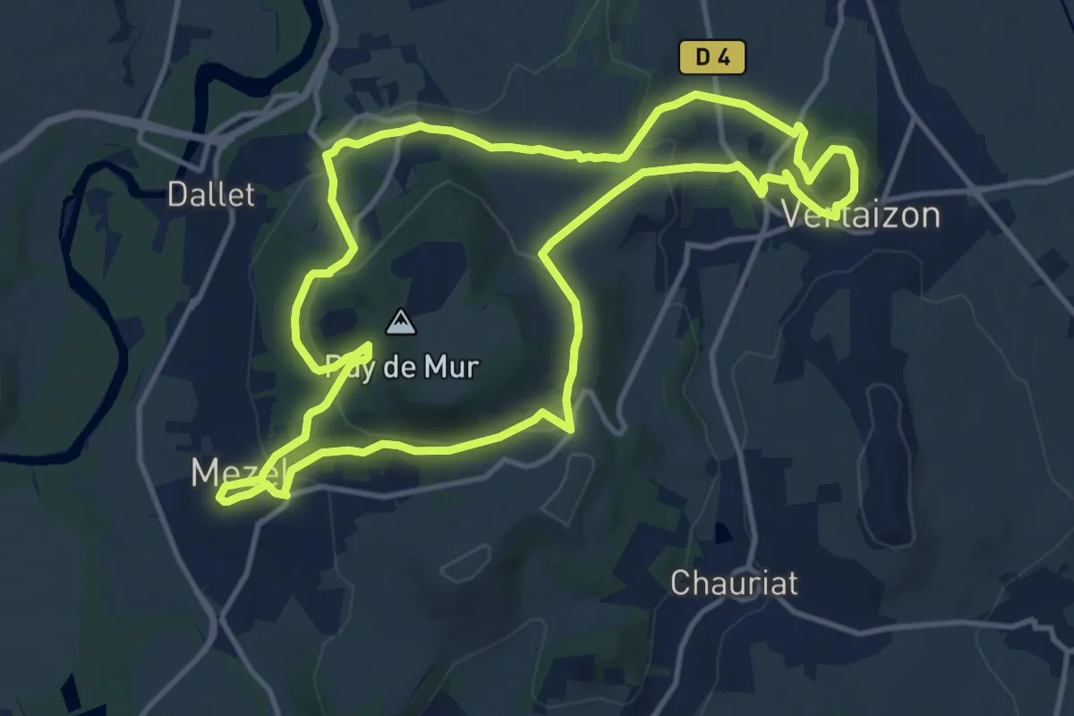
Medium · Trail
Le Tour du Puy de Mur
13.0 km · ↑ 480 m · 4 h 18 min · 14 km away
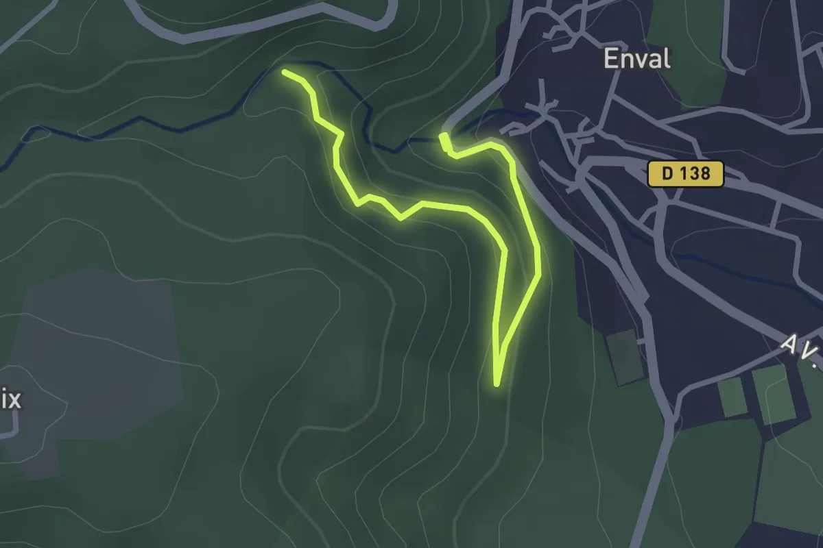
Easy · Trail
Les Gorges d'Enval
1.5 km · ↑ 50 m · 32 min · 14 km away
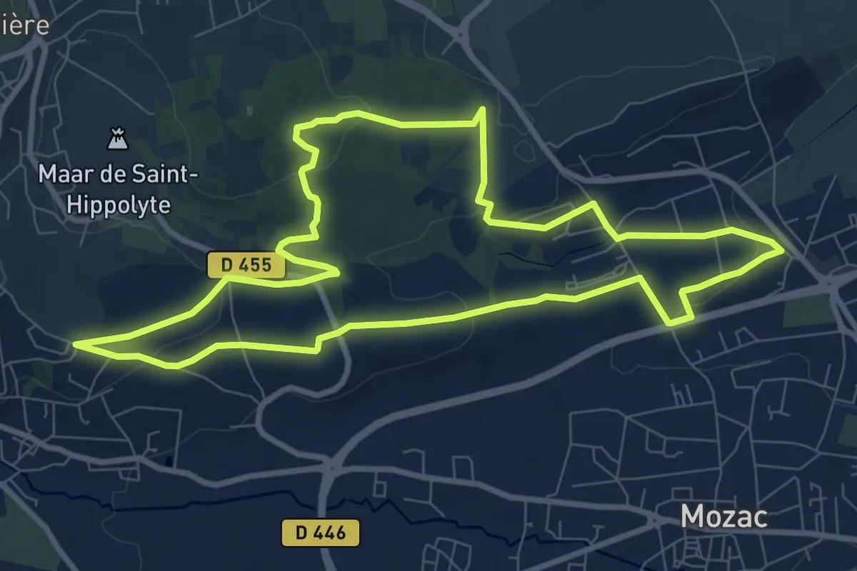
Medium · Trail
Les Vignes de Ronchalon
8.8 km · ↑ 205 m · 2 h 38 min · 14 km away
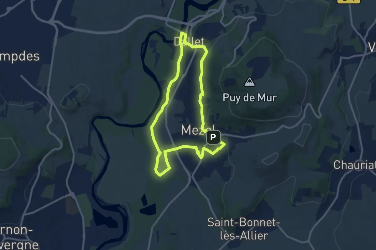
Easy · Trail
Les sentiers de la forme "A la découverte de l'Allier"
7.6 km · ↑ 123 m · 2 h 10 min · 14 km away
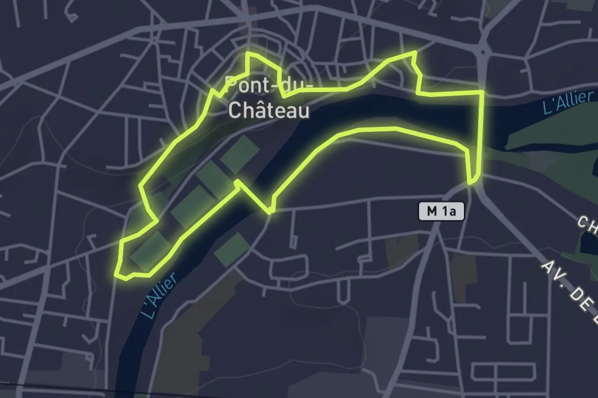
Easy · Trail
Le Chemin des Batteliers
4.0 km · ↑ 57 m · 1 h 8 min · 14 km away
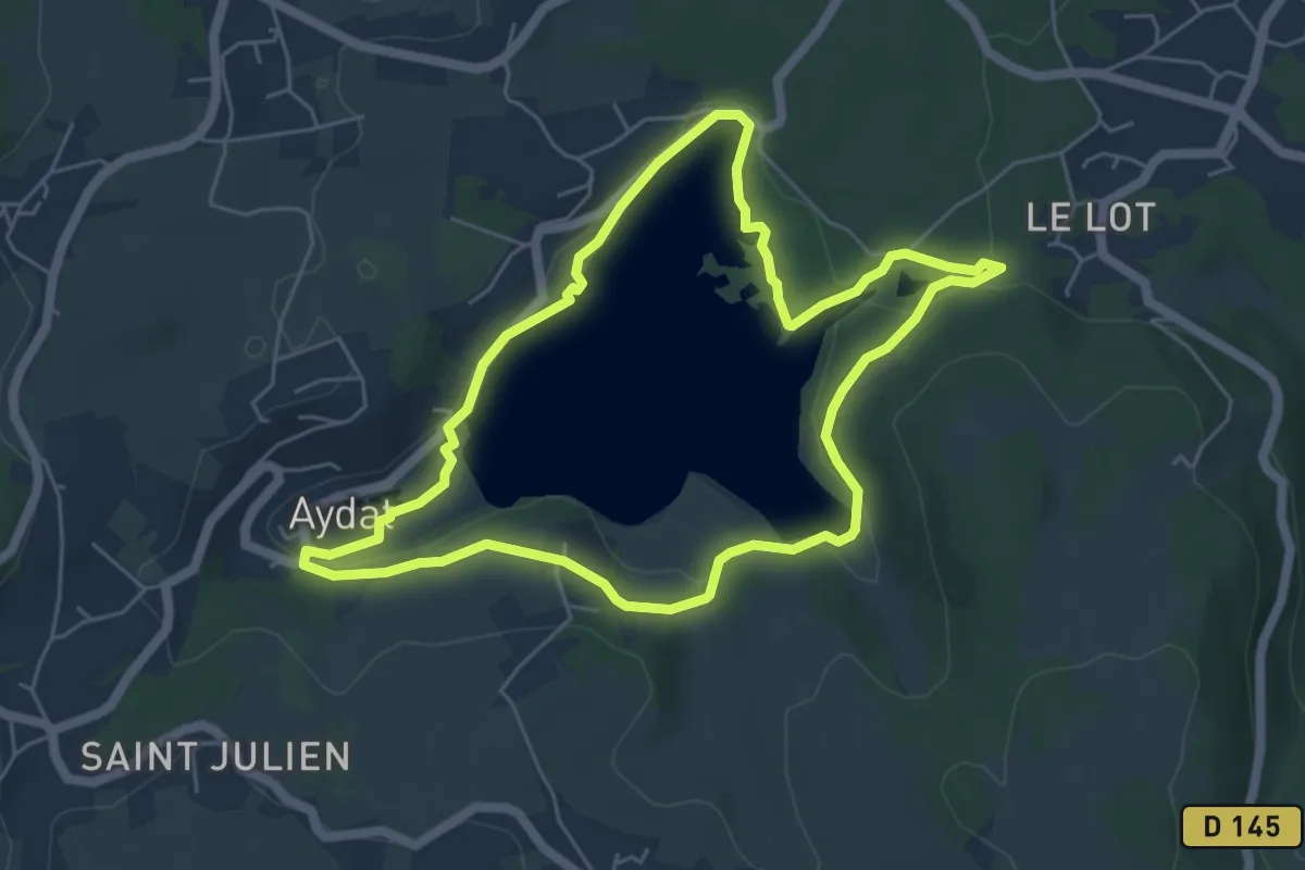
Easy · Trail
Autour du lac d'Aydat
5.5 km · ↑ 75 m · 1 h 33 min · 14 km away
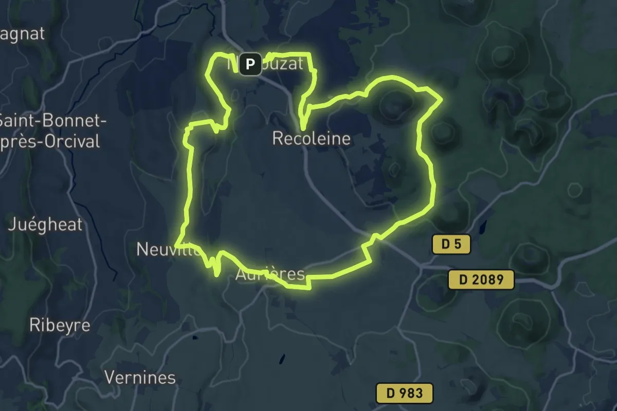
Demanding · Trail
Le Puy de Pourcharet
18.9 km · ↑ 314 m · 5 h 25 min · 15 km away
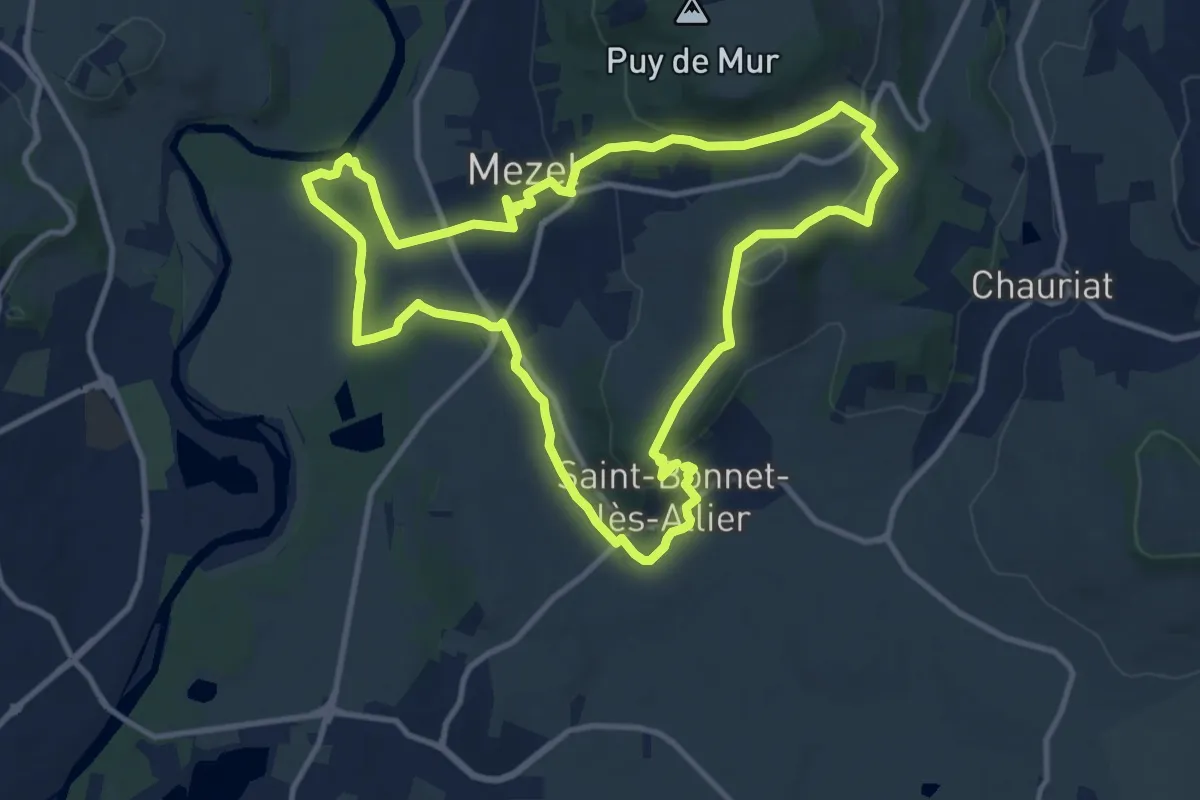
Medium · Trail
Le Puy de la Poule
11.6 km · ↑ 217 m · 3 h 22 min · 15 km away