Trails near Chambéry
17 hikes starting within 15 km, nearest first.
Nearest first
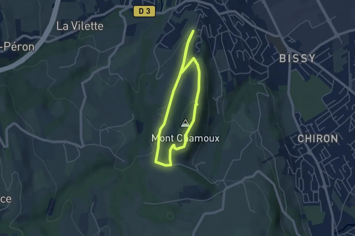
Easy · Summit
Les Hauts de Chamoux
3.7 km · ↑ 100 m · 1 h 8 min · 4 km away
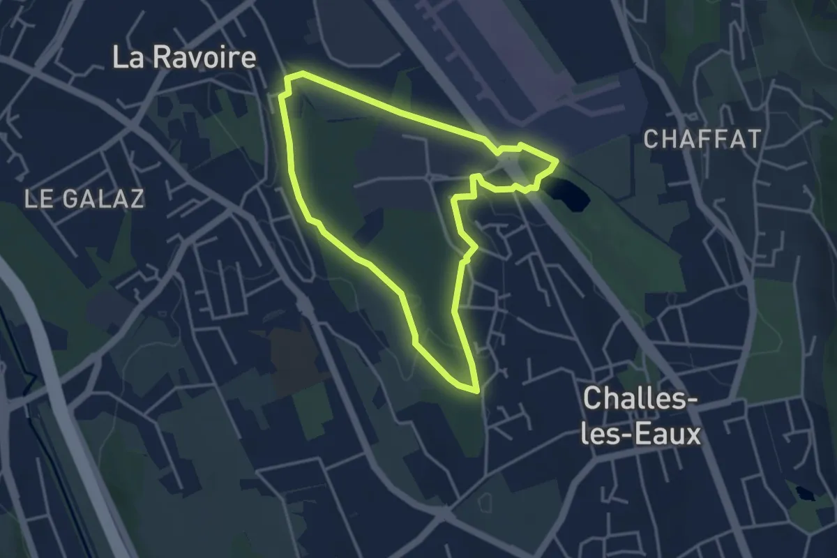
Easy · Trail
Boucle du Marais des Chassettes
3.4 km · ↑ 8 m · 52 min · 5 km away
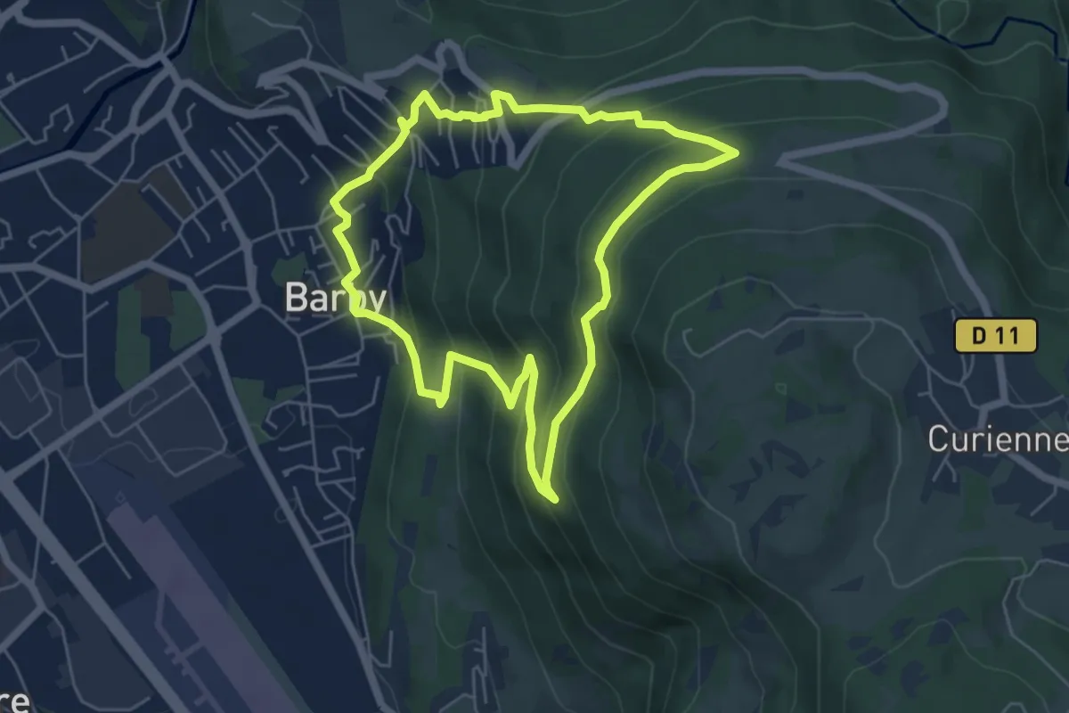
Medium · Trail
Circuit de la Miat
5.3 km · ↑ 354 m · 2 h 5 min · 5 km away
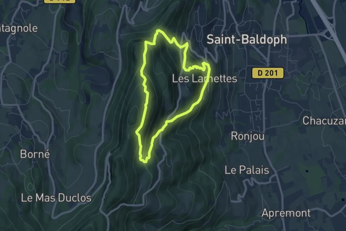
Medium · Summit
Tour de la Coche - n°37
5.6 km · ↑ 431 m · 2 h 21 min · 5 km away
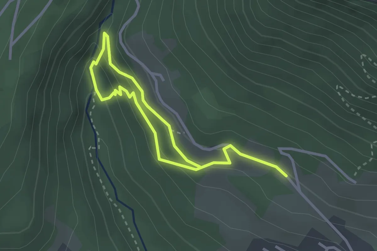
Demanding · Trail
Grande cascade de la Doria
1.9 km · ↑ 135 m · 46 min · 5 km away
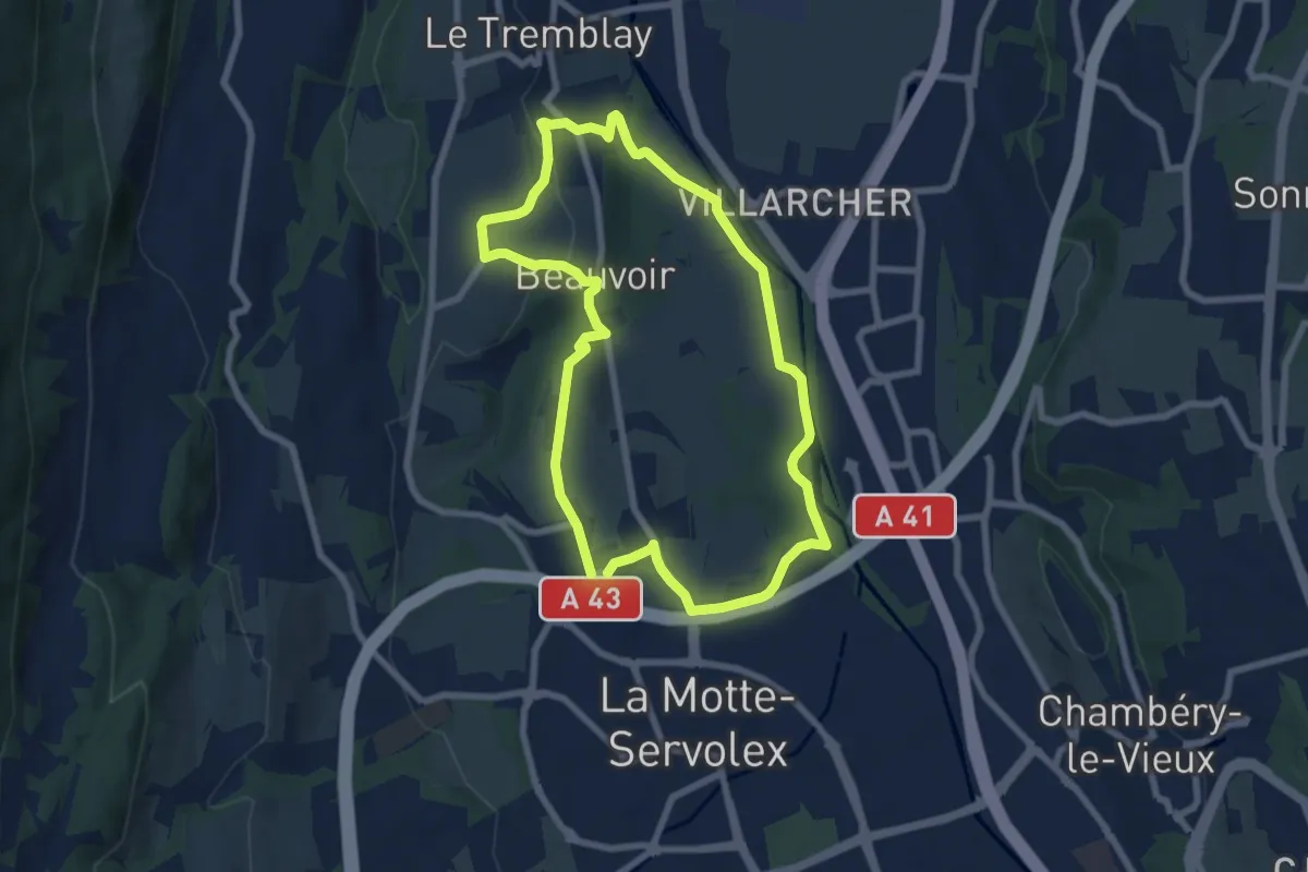
Easy · Trail
Le Marais de Pré Lombard
7.2 km · ↑ 111 m · 2 h 3 min · 6 km away
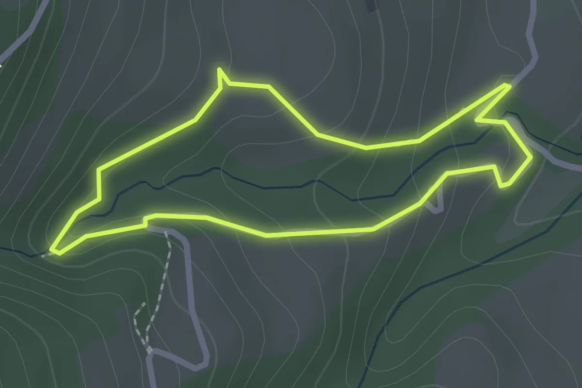
Easy · Trail
Sentier du Pichut
1.8 km · ↑ 102 m · 41 min · 7 km away
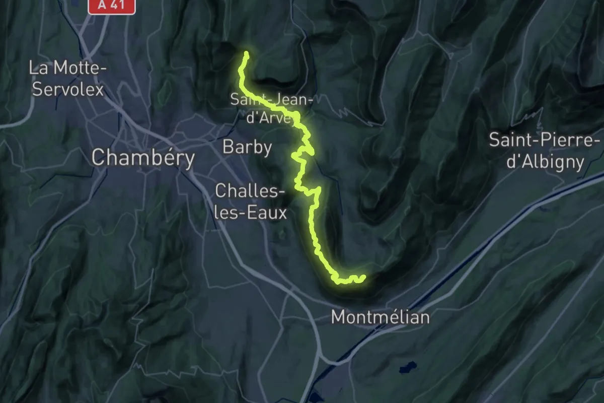
Demanding · Summit
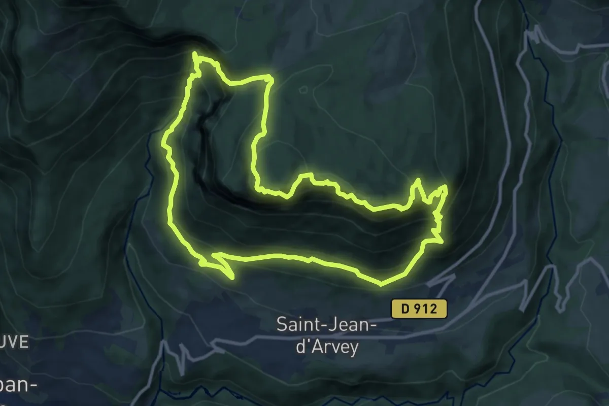
La Labiaz – Les Chavonnes
40.5 km · ↑ 2663 m · 15 h 20 min · 7 km away
Demanding · Summit
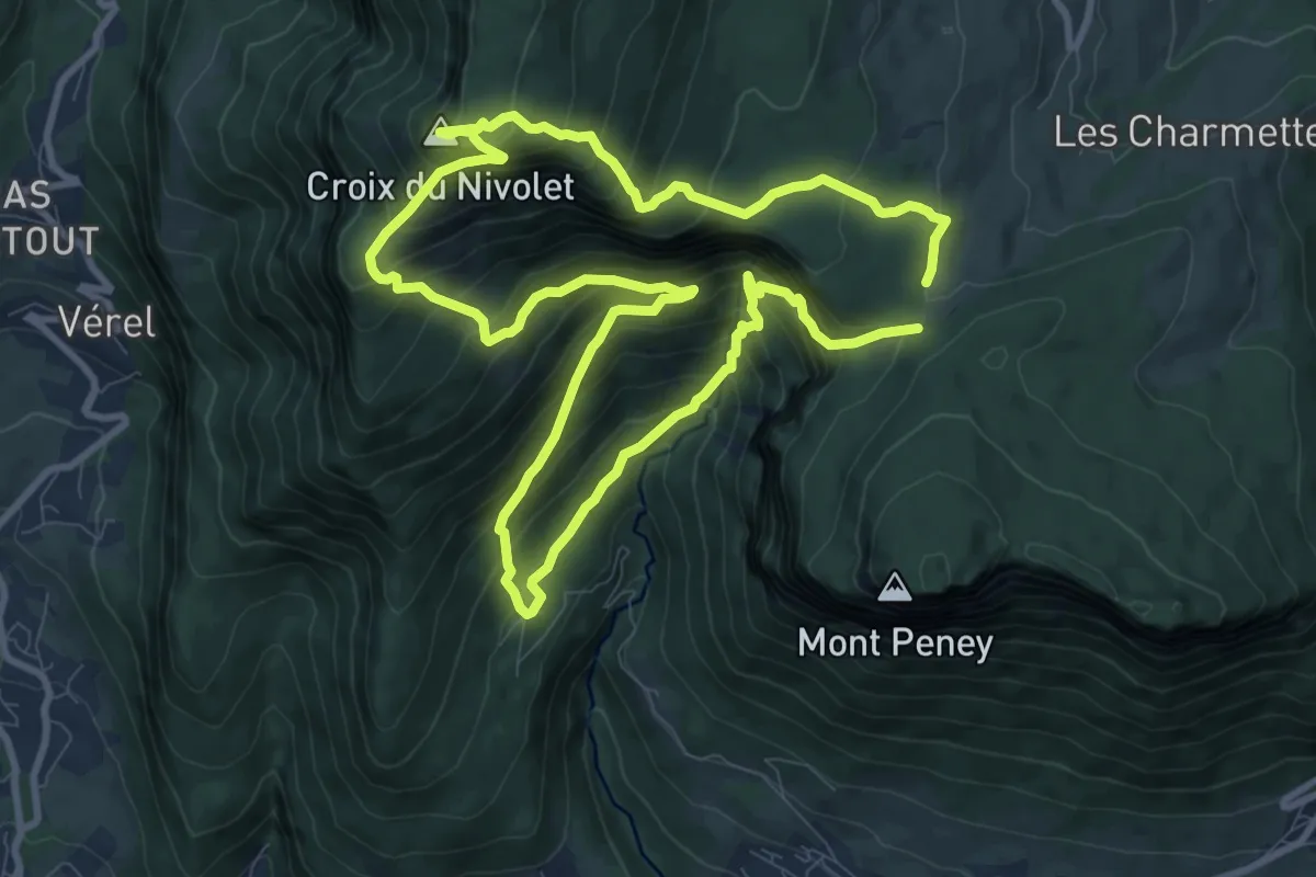
Tour du Mont Peney
10.3 km · ↑ 1228 m · 5 h 14 min · 7 km away
Expert · Summit
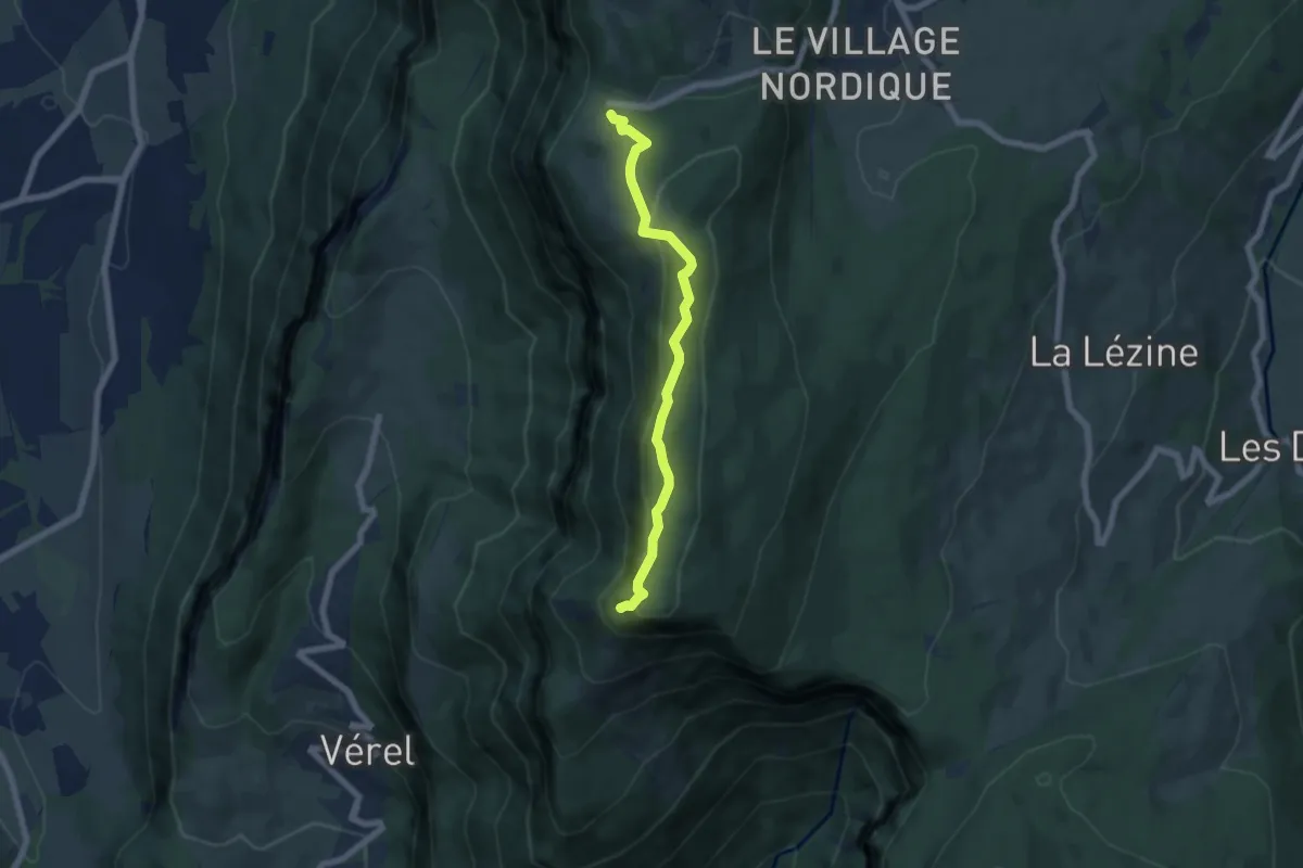
Croix du Nivolet depuis Lovettaz
9.5 km · ↑ 934 m · 4 h 24 min · 7 km away
Easy · Summit
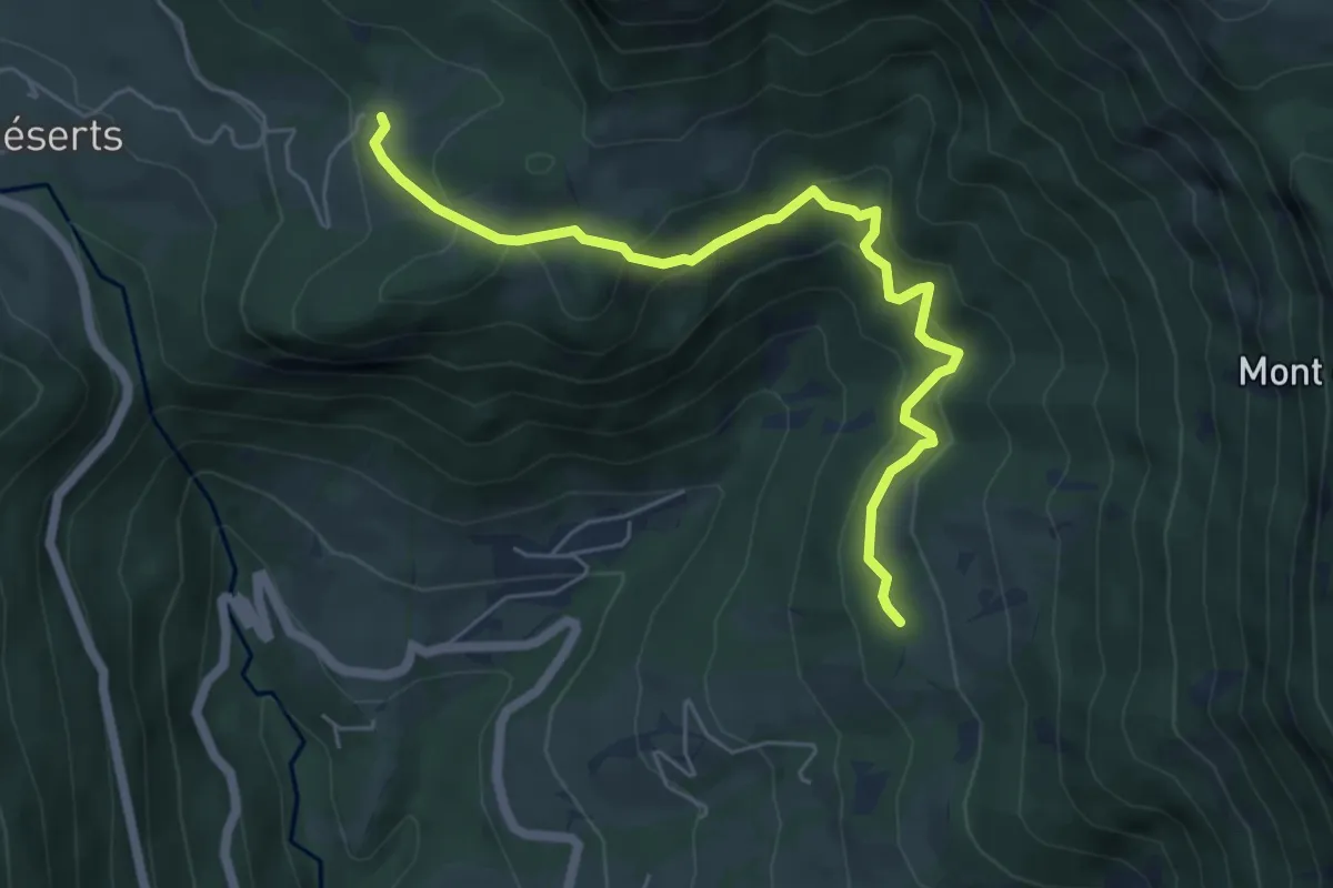
Croix du Nivolet depuis le Sire
6.2 km · ↑ 248 m · 1 h 59 min · 9 km away
Medium · Trail
La Labiaz – Les Chavonnes
6.1 km · ↑ 380 m · 2 h 15 min · 10 km away
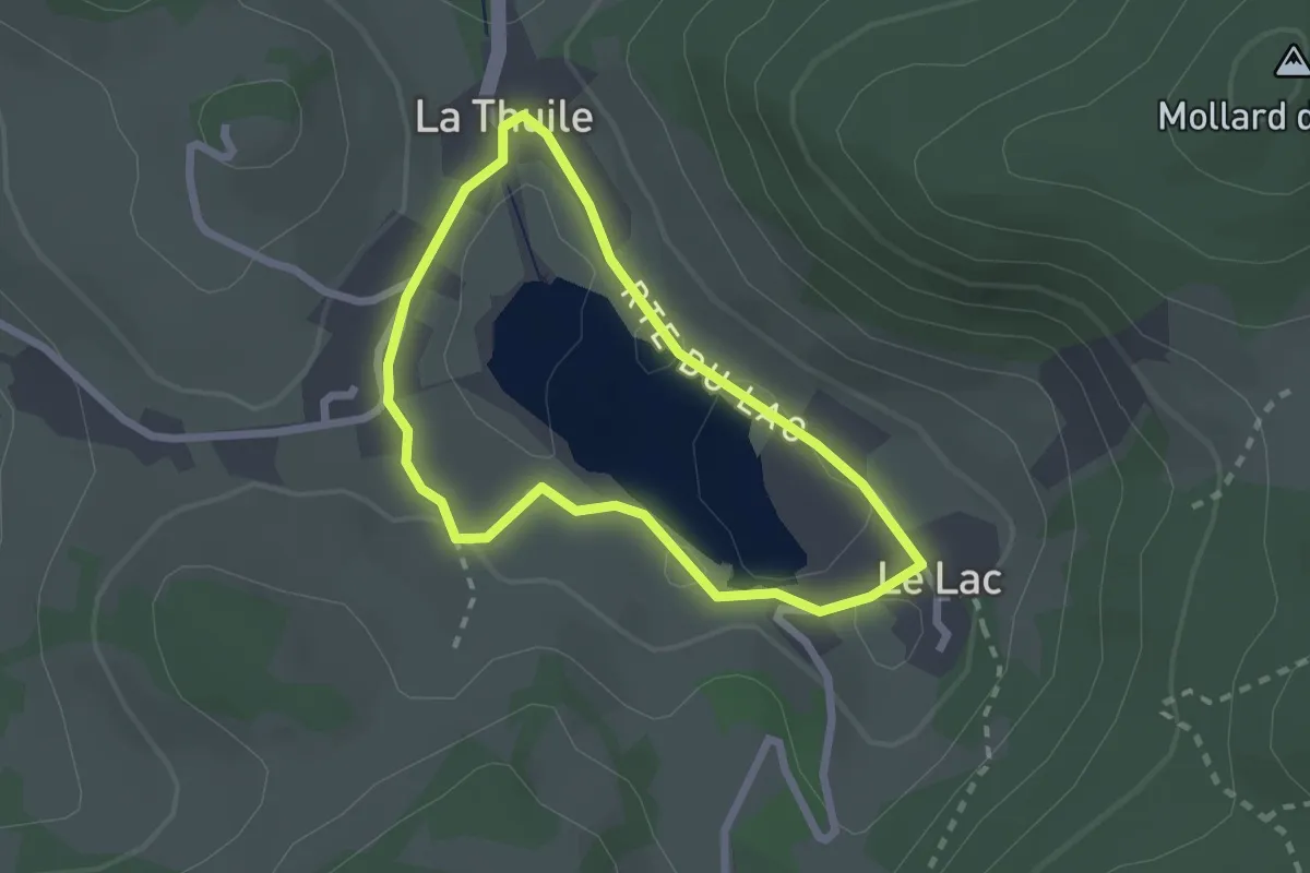
Medium · Trail
Boucle du Lac de la Thuile
2.0 km · ↑ 18 m · 32 min · 11 km away
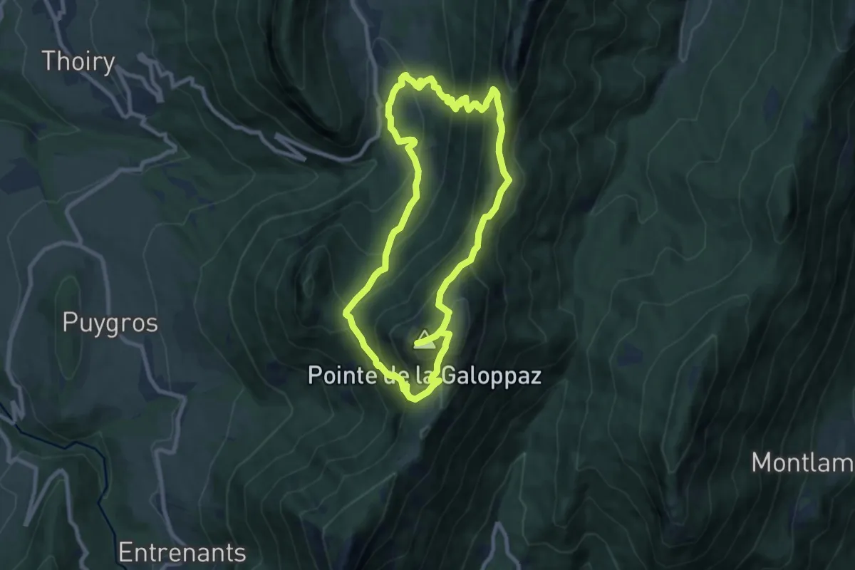
Medium · Summit
La Galoppaz par la Combe Servenne
8.0 km · ↑ 699 m · 3 h 31 min · 12 km away
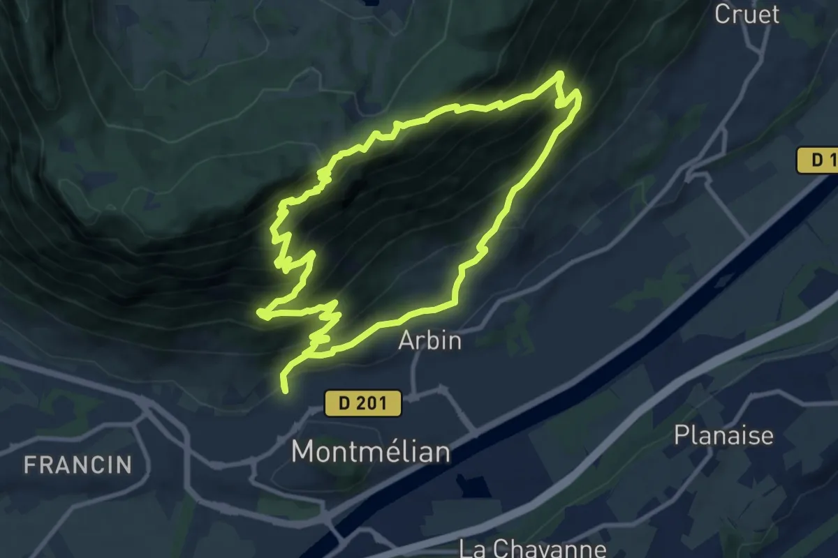
Demanding · Summit
Sentier des Buis
9.5 km · ↑ 869 m · 4 h 16 min · 12 km away
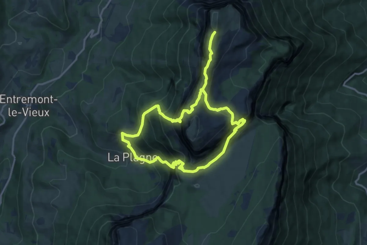
Expert · Summit
Le sommet du Mont Granier
8.6 km · ↑ 992 m · 4 h 17 min · 12 km away
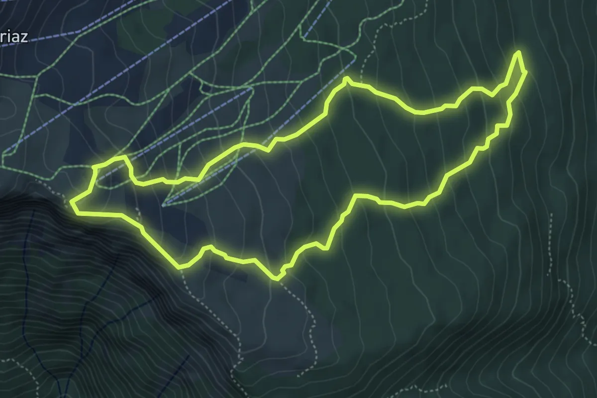
Medium · Cabin
Sentier des Tannes et Glacières du Margériaz
5.6 km · ↑ 417 m · 2 h 18 min · 14 km away