Trails near Chamonix-Mont-Blanc
61 hikes starting within 15 km, nearest first.
Nearest first, page 1 of 2
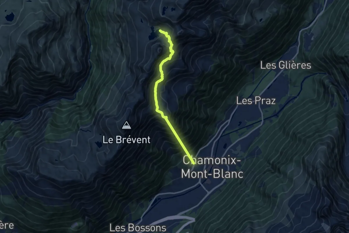
Demanding · Trail
Lac Cornu
10.1 km · ↑ 1529 m · 5 h 41 min · 1 km away
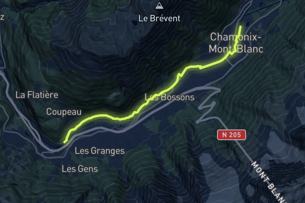
Medium · Trail
Les Houches – Chamonix
16.3 km · ↑ 316 m · 4 h 32 min · 1 km away
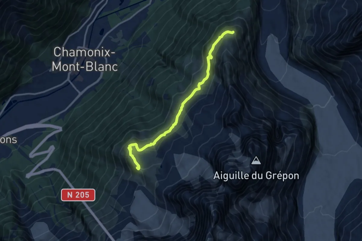
Medium · Summit
Plan de l'Aiguille - Montenvers
10.0 km · ↑ 613 m · 3 h 41 min · 3 km away
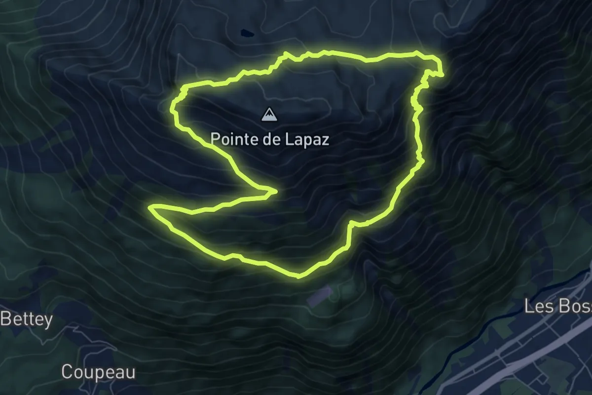
Medium · Summit
Aiguillette des Houches
8.1 km · ↑ 719 m · 3 h 35 min · 3 km away
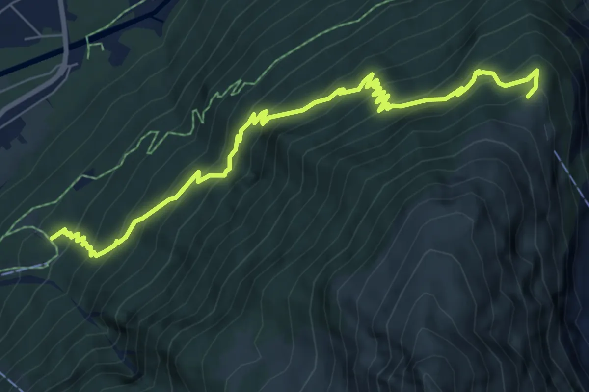
Medium · Trail
Chemin du Montenvers
7.9 km · ↑ 800 m · 3 h 36 min · 4 km away
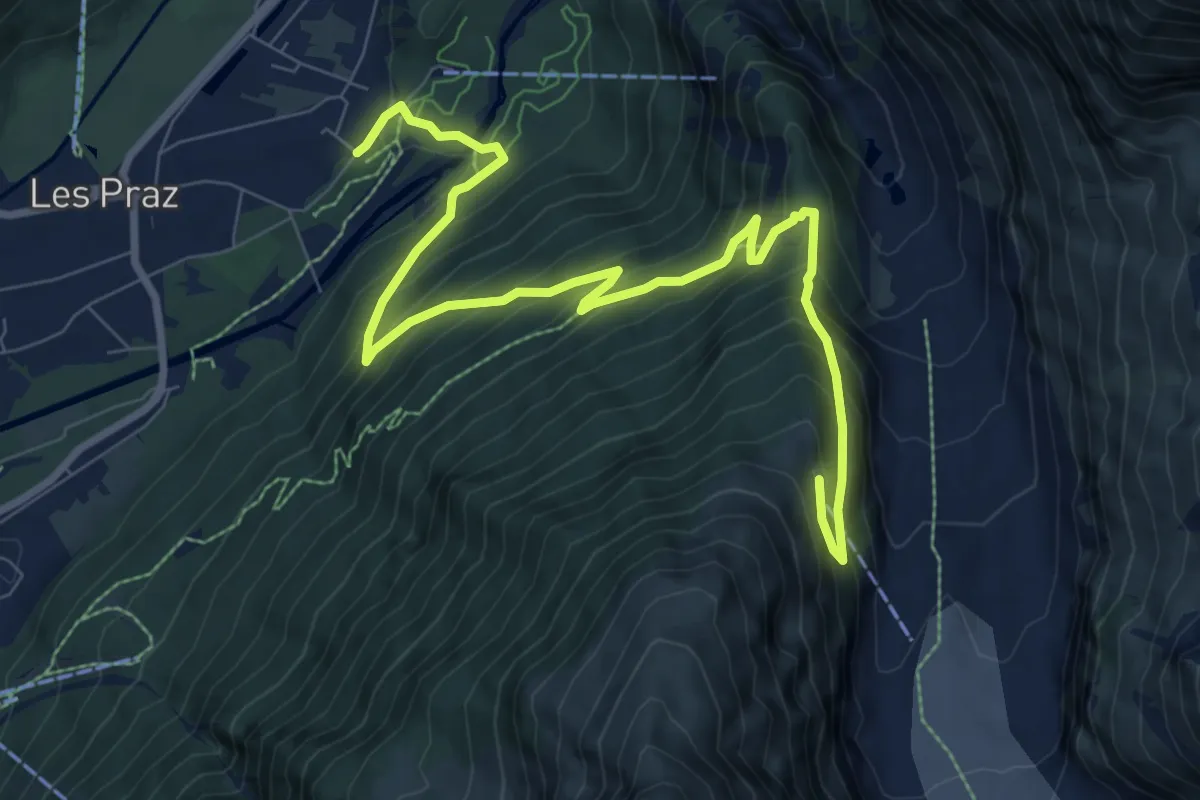
Demanding · Trail
Rocher des Mottets - Montenvers
10.5 km · ↑ 830 m · 4 h 17 min · 4 km away
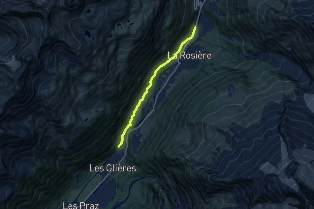
Medium · Trail
Les Tines – Argentière
8.2 km · ↑ 412 m · 2 h 50 min · 4 km away
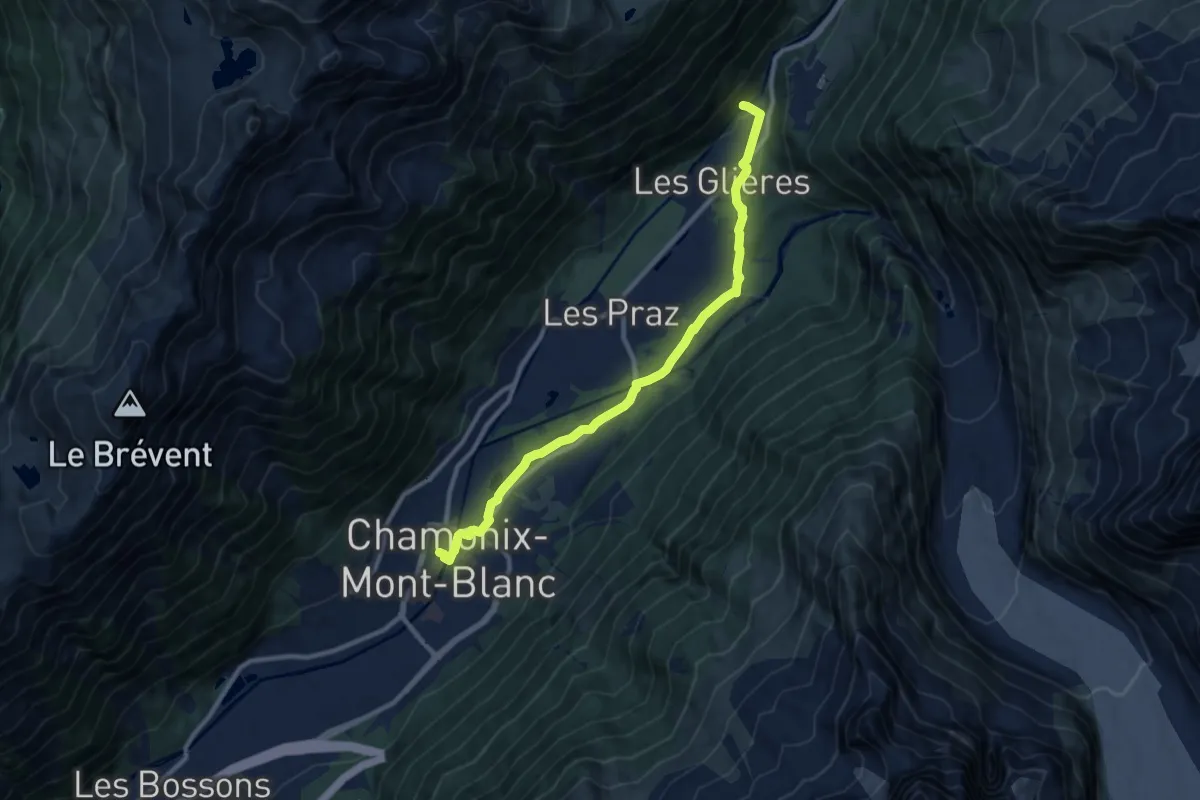
Medium · Trail
Chamonix – Les Tines
10.3 km · ↑ 151 m · 2 h 45 min · 4 km away
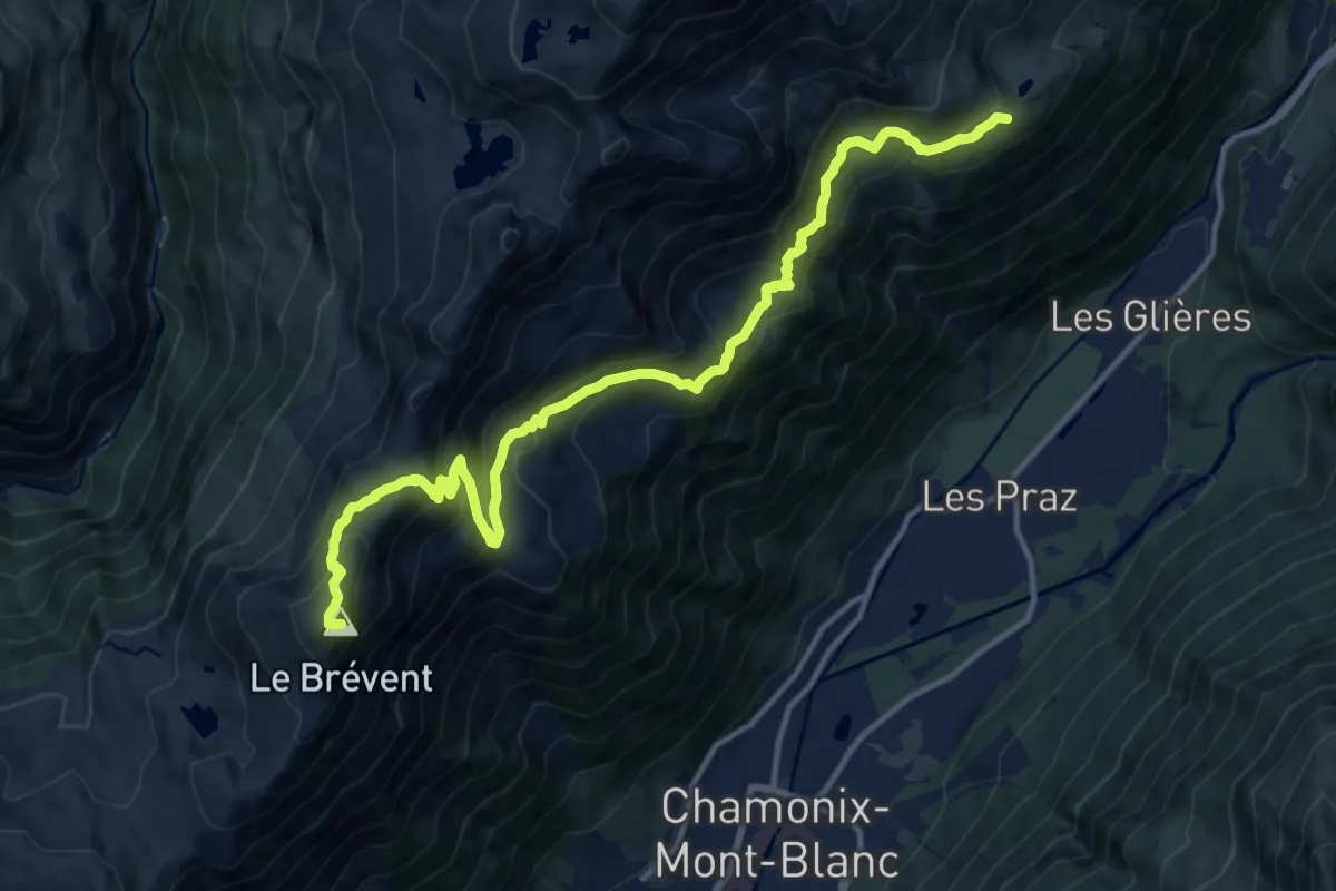
Demanding · Summit
Refuge La Flégère – Les Houches
15.1 km · ↑ 1189 m · 6 h 8 min · 4 km away
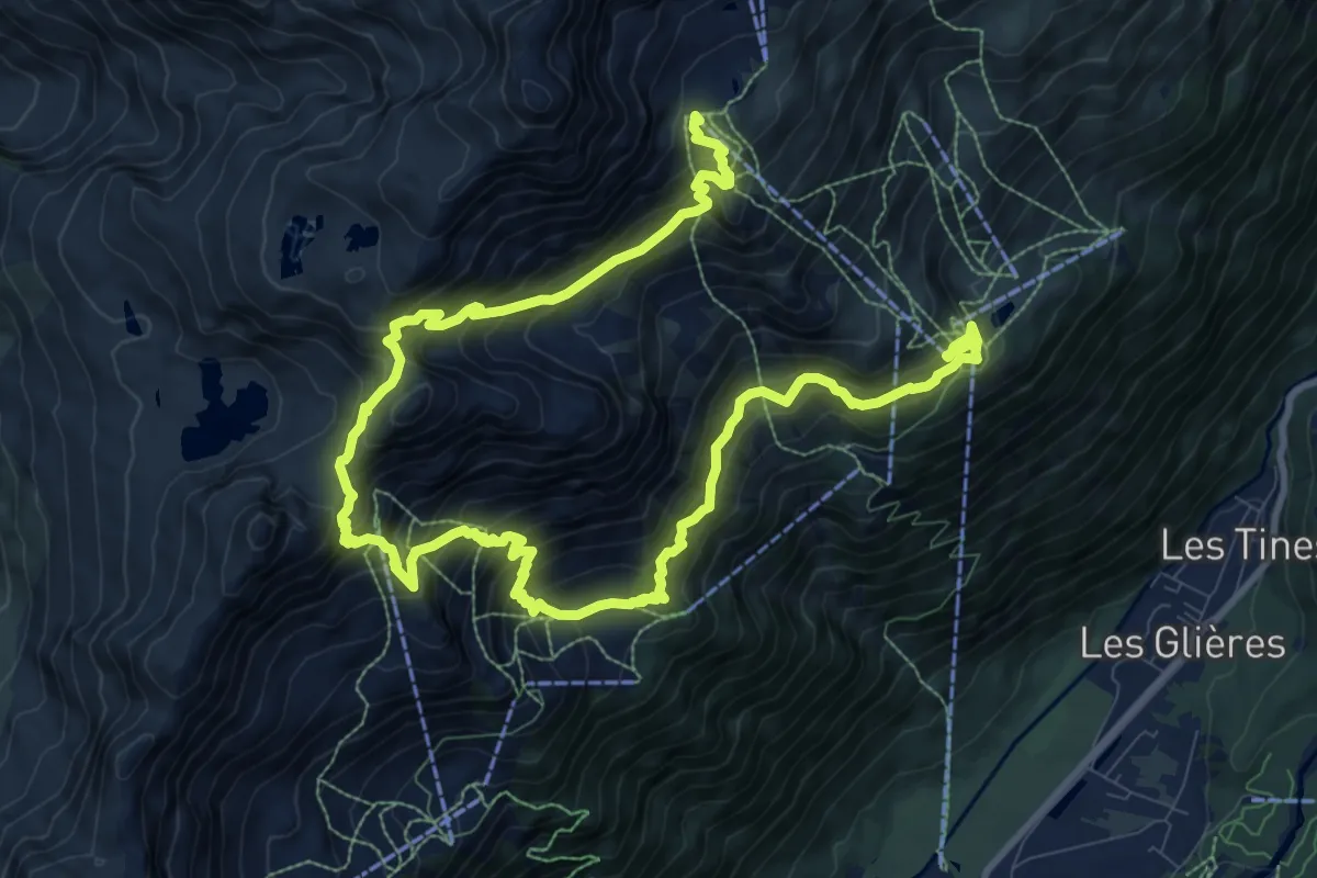
Demanding · Summit
Lacs Noirs
8.3 km · ↑ 1007 m · 4 h · 4 km away
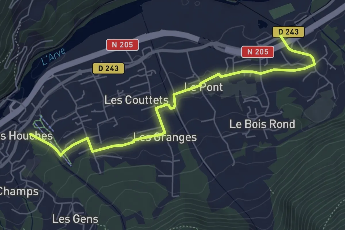
Easy · Trail
Chemin des Villages
6.0 km · ↑ 145 m · 1 h 44 min · 5 km away
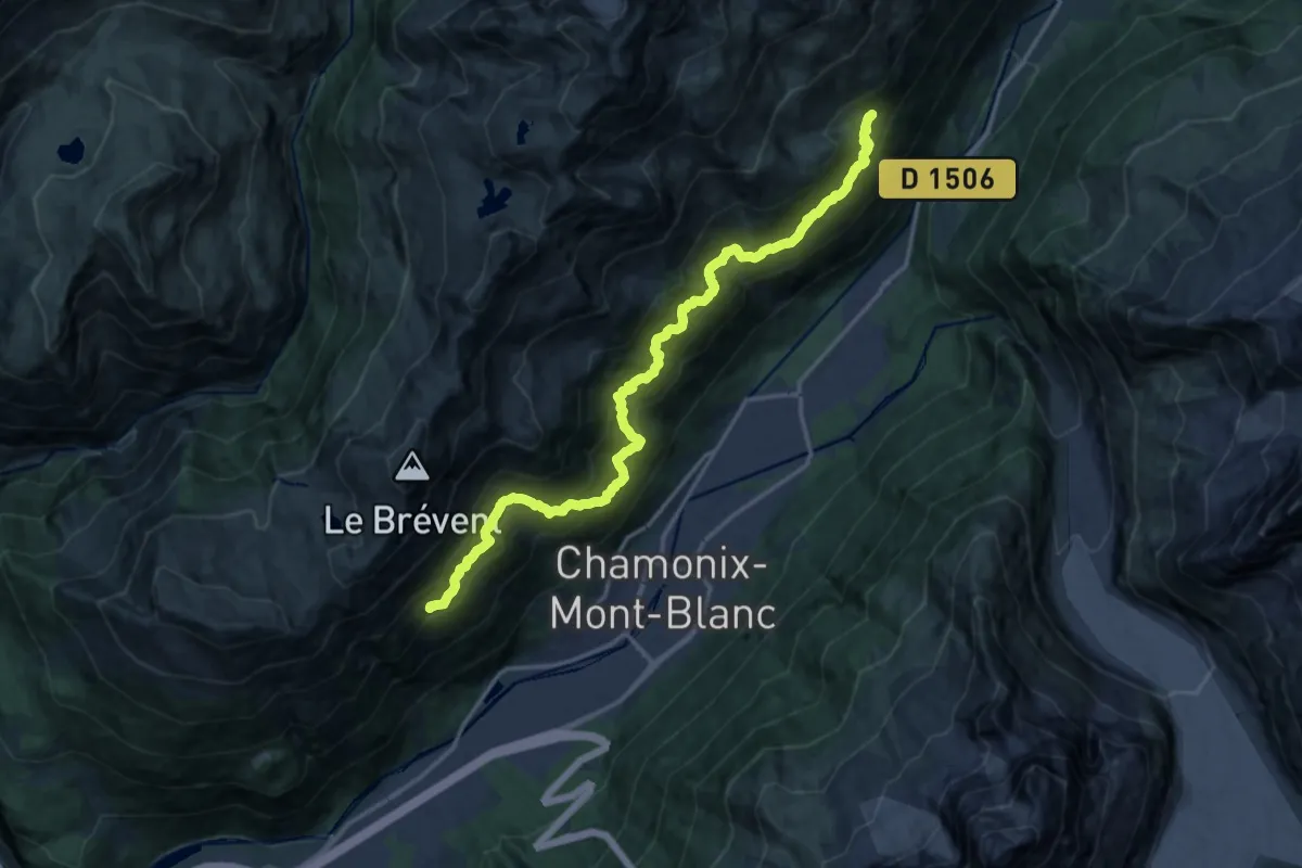
Demanding · Trail
Sentier des Gardes
8.9 km · ↑ 890 m · 4 h 10 min · 5 km away
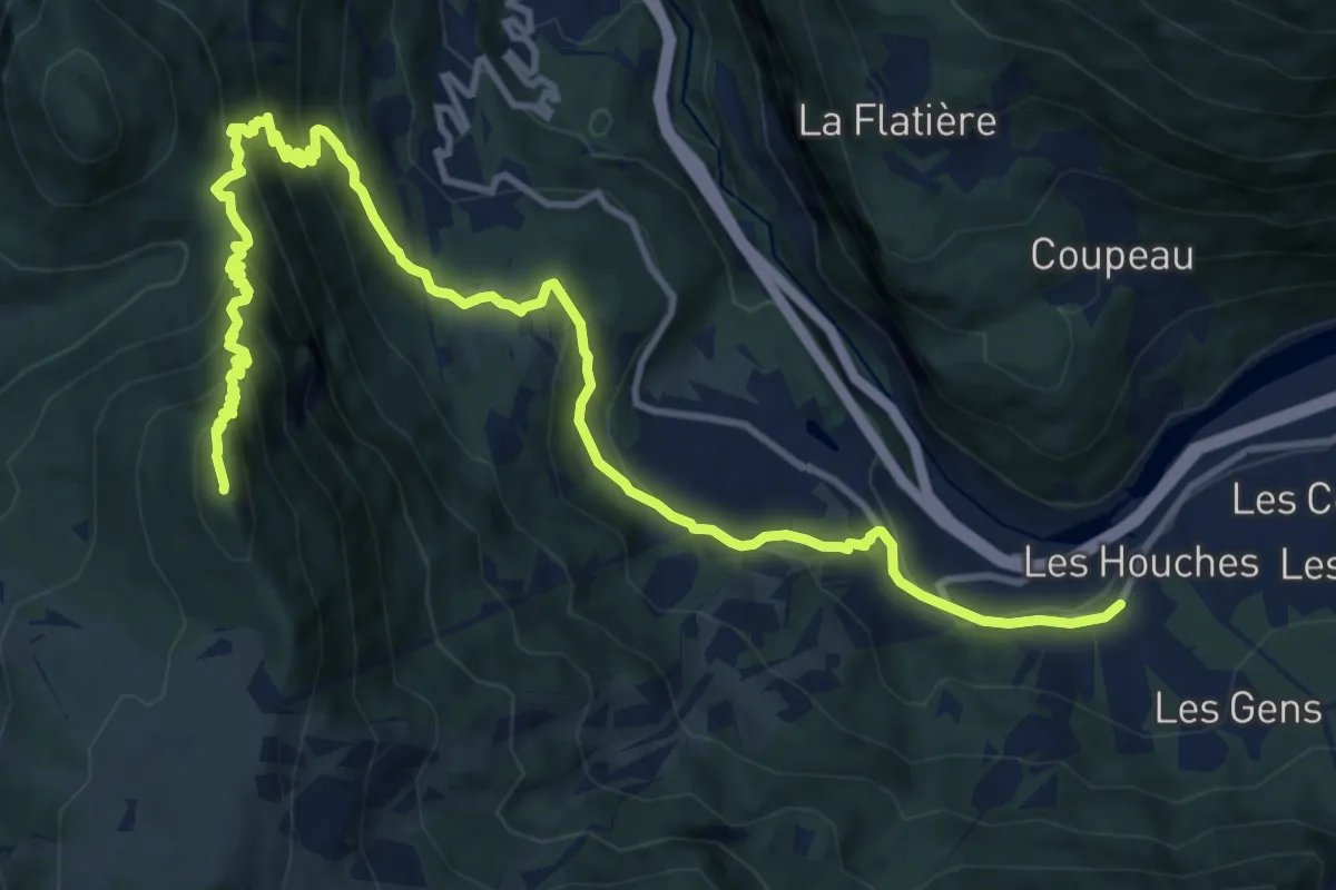
Demanding · Summit
Bionnassay – Les Houches
16.1 km · ↑ 1092 m · 6 h 10 min · 7 km away
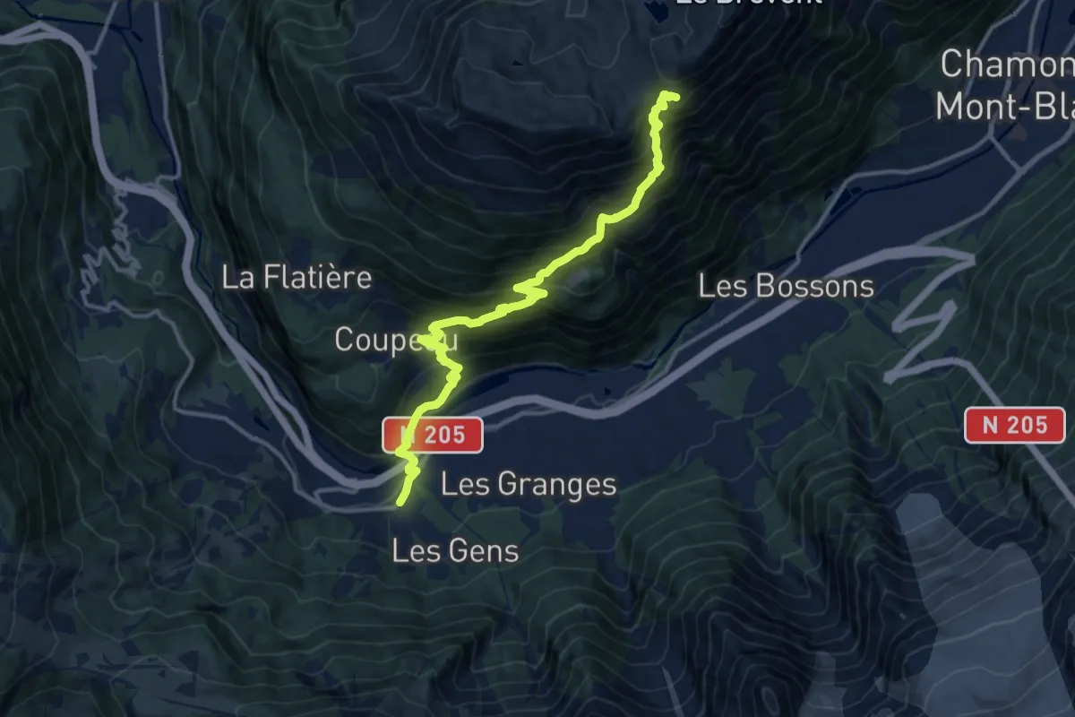
Demanding · Cabin
Les Houches – Refuge de Bellachat
14.0 km · ↑ 1262 m · 6 h 2 min · 7 km away
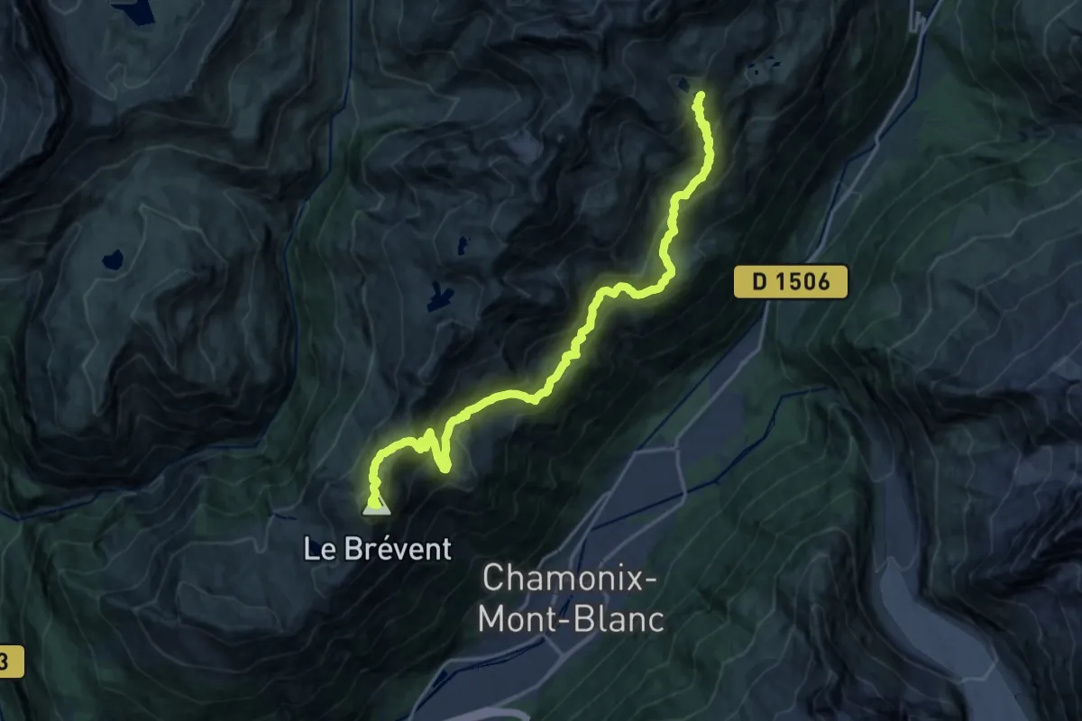
Demanding · Summit
GaB_TMB_S01
21.0 km · ↑ 1699 m · 8 h 39 min · 7 km away
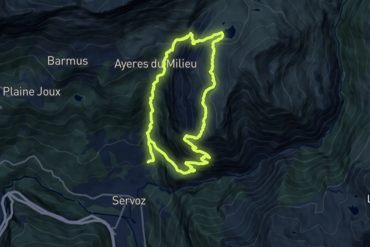
Demanding · Trail
Boucle de Pormenaz
11.4 km · ↑ 1209 m · 5 h 27 min · 7 km away
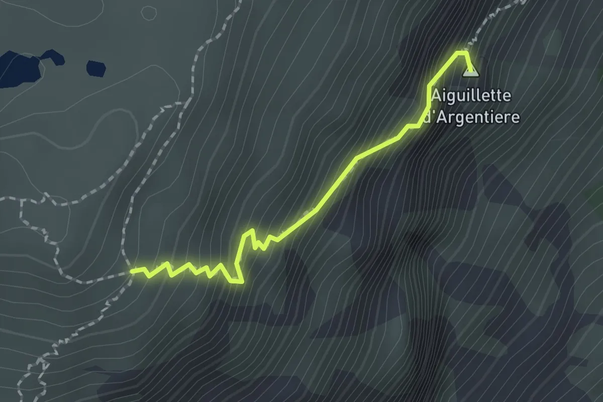
Expert · Summit
Tré-le-Champ – La Tête aux Vents
1.6 km · ↑ 325 m · 1 h 5 min · 7 km away
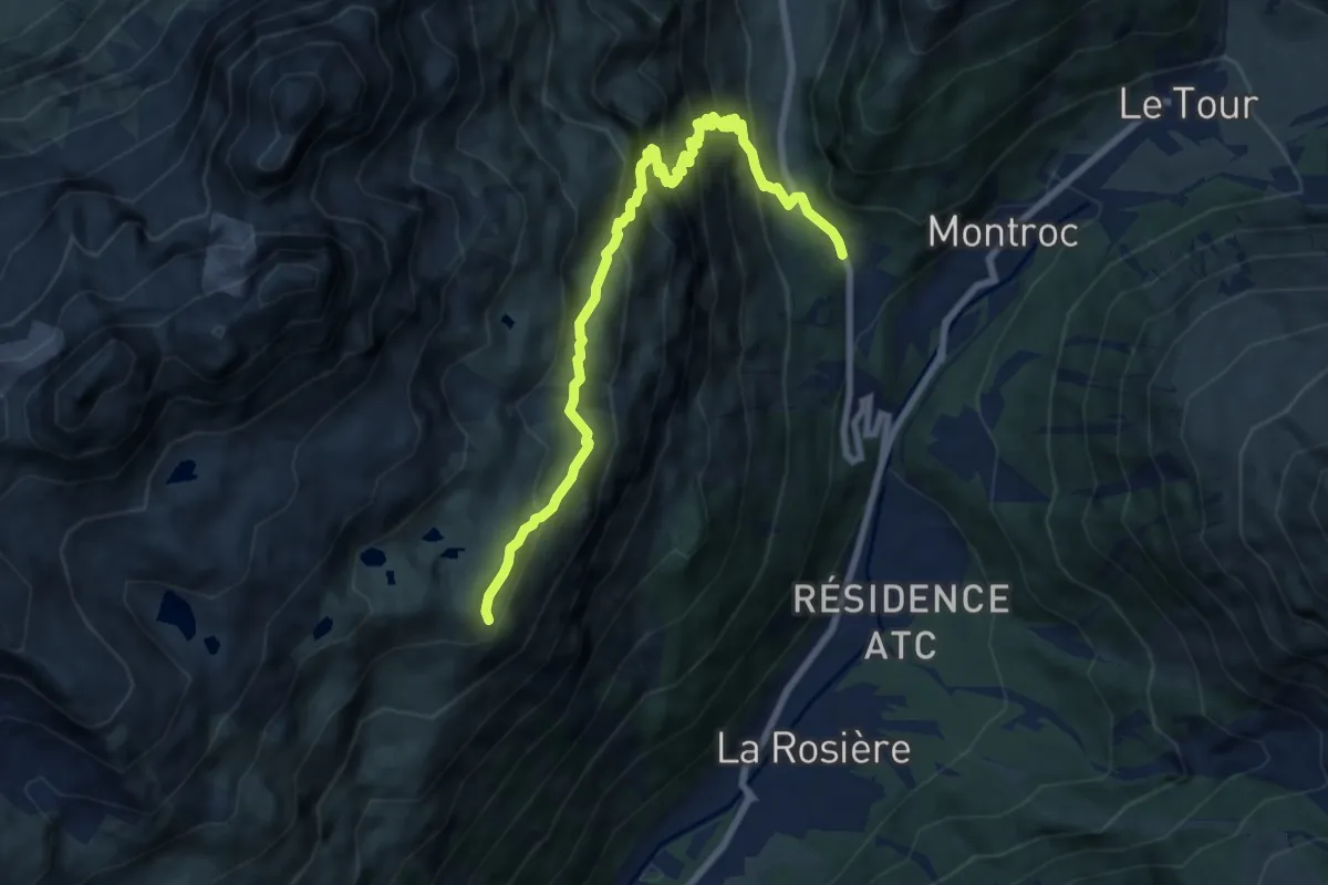
Medium · Trail
Tré-le-Champ – Tête aux Vents
9.0 km · ↑ 787 m · 3 h 49 min · 7 km away
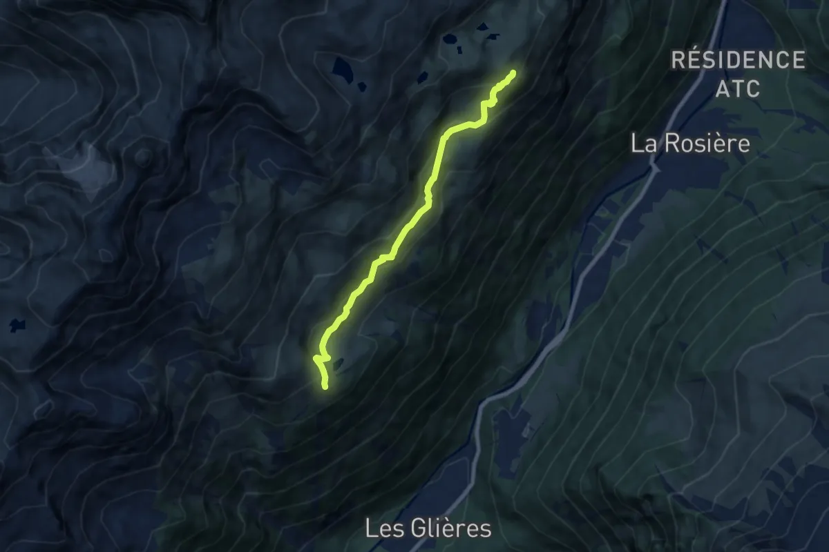
Medium · Cabin
La Tête aux Vents – Refuge La Flégère
6.9 km · ↑ 442 m · 2 h 36 min · 7 km away
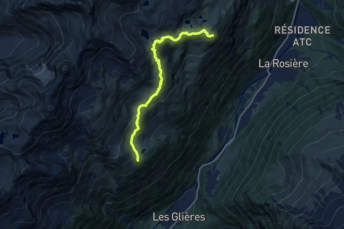
Demanding · Cabin
La Tête aux Vents – Refuge La Flégère
9.0 km · ↑ 755 m · 3 h 46 min · 7 km away
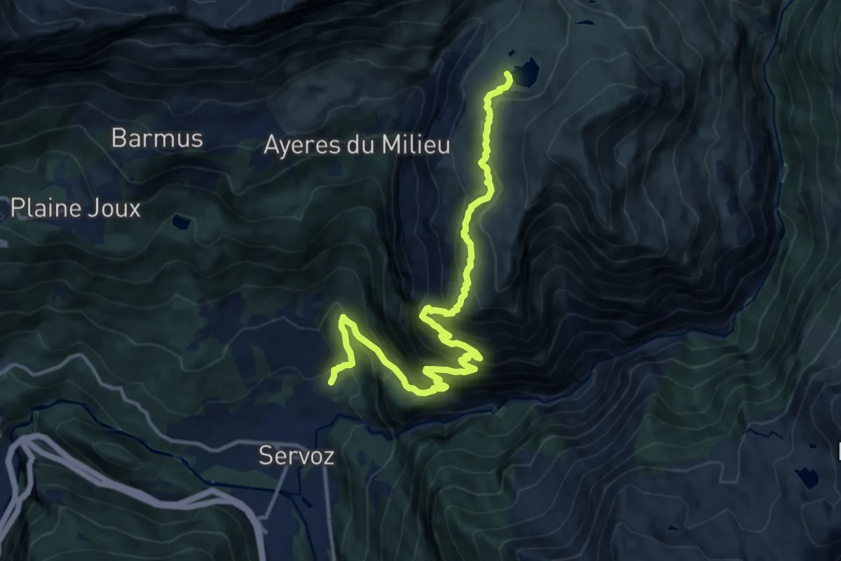
Demanding · Trail
Lac de Pormenaz
14.2 km · ↑ 1363 m · 6 h 18 min · 7 km away
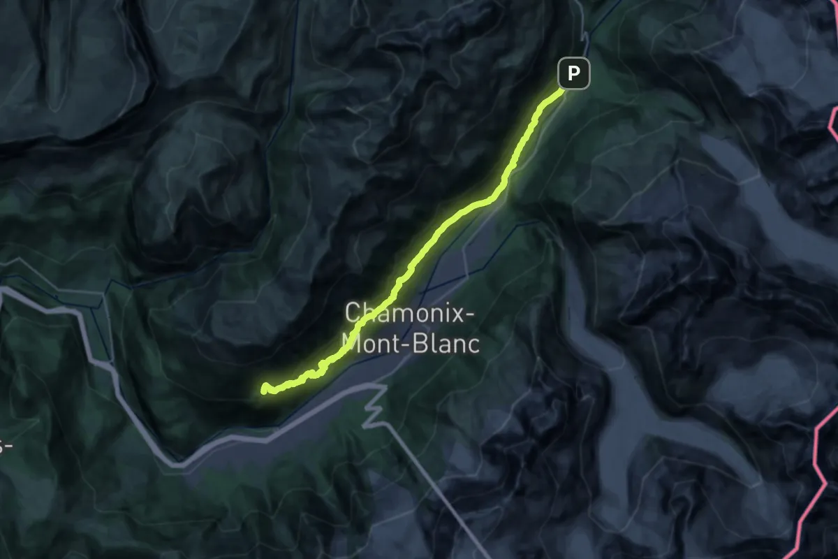
Demanding · Trail
Petit Balcon Sud
13.5 km · ↑ 1028 m · 5 h 28 min · 8 km away
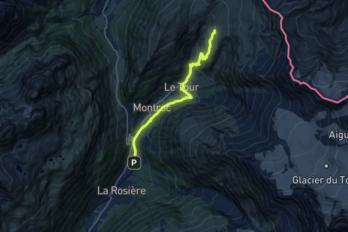
Medium · Trail
Argentière – Col de Balme
11.5 km · ↑ 666 m · 4 h 10 min · 8 km away
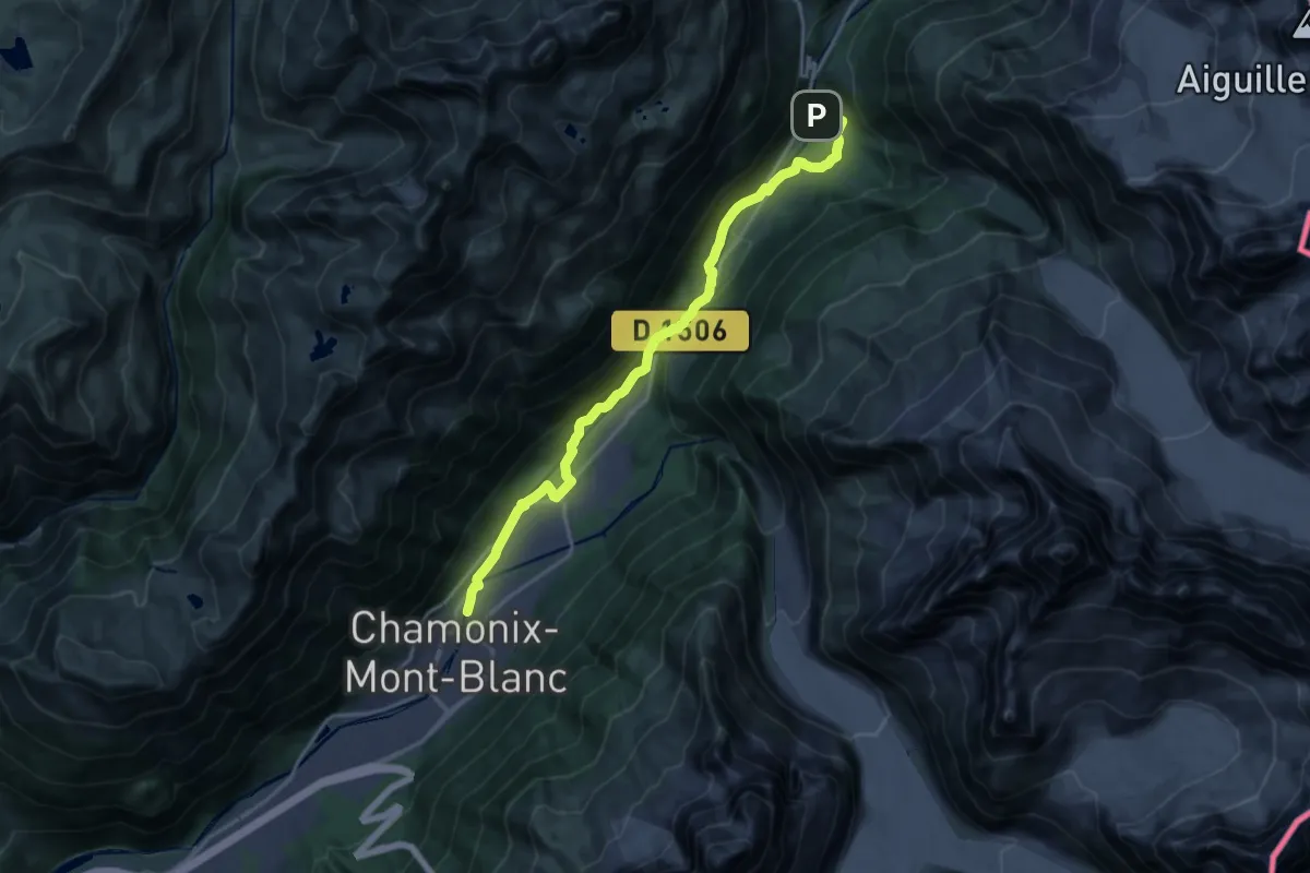
Demanding · Trail
Chamonix – Argentière
19.0 km · ↑ 299 m · 5 h 8 min · 8 km away
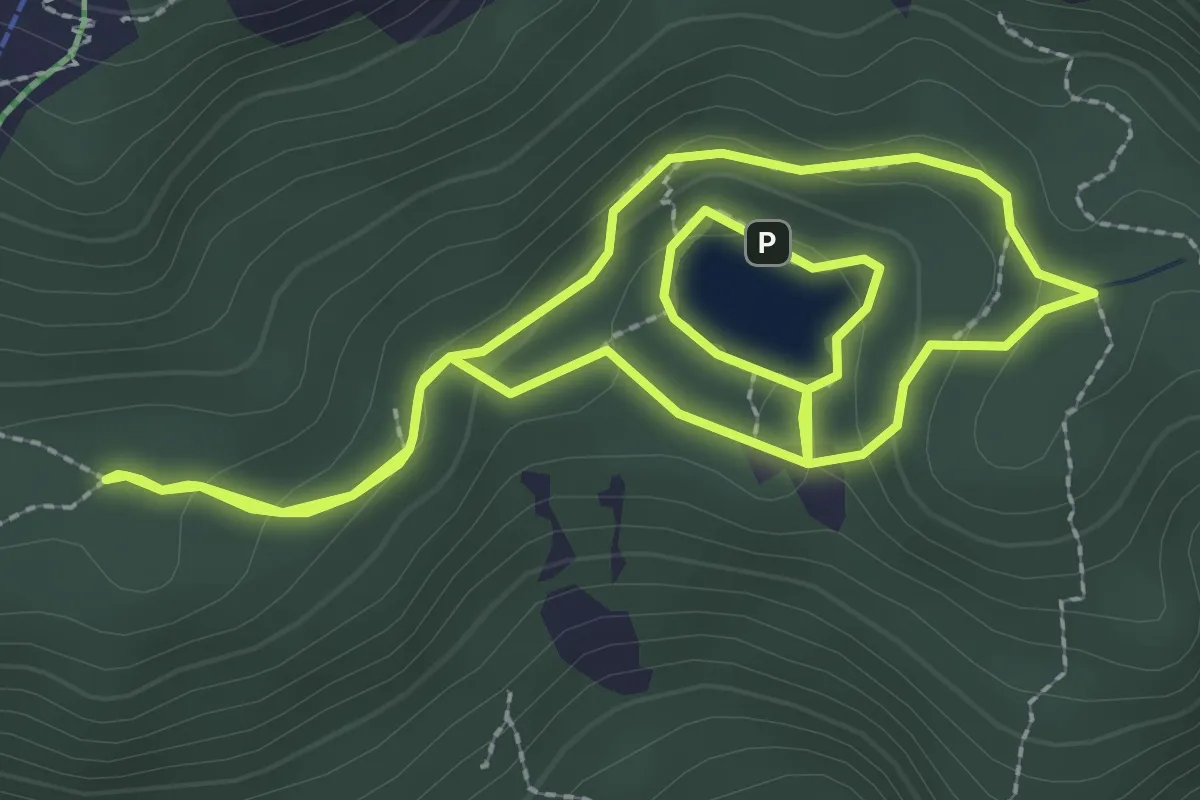
Medium · Trail
Boucle du Lac Vert
2.7 km · ↑ 97 m · 53 min · 10 km away
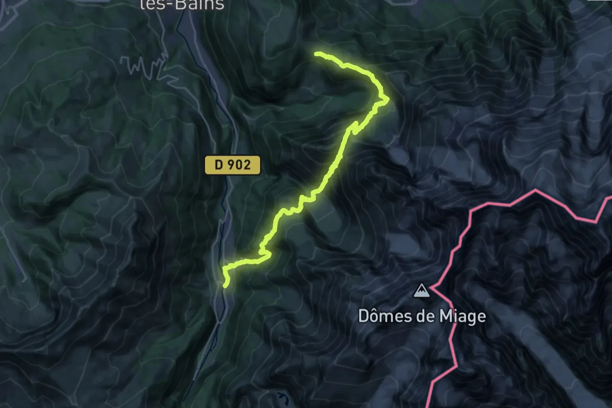
Demanding · Trail
Tour Du Mont Blanc - Variante du Col de Tricot
13.0 km · ↑ 890 m · 5 h 26 min · 10 km away
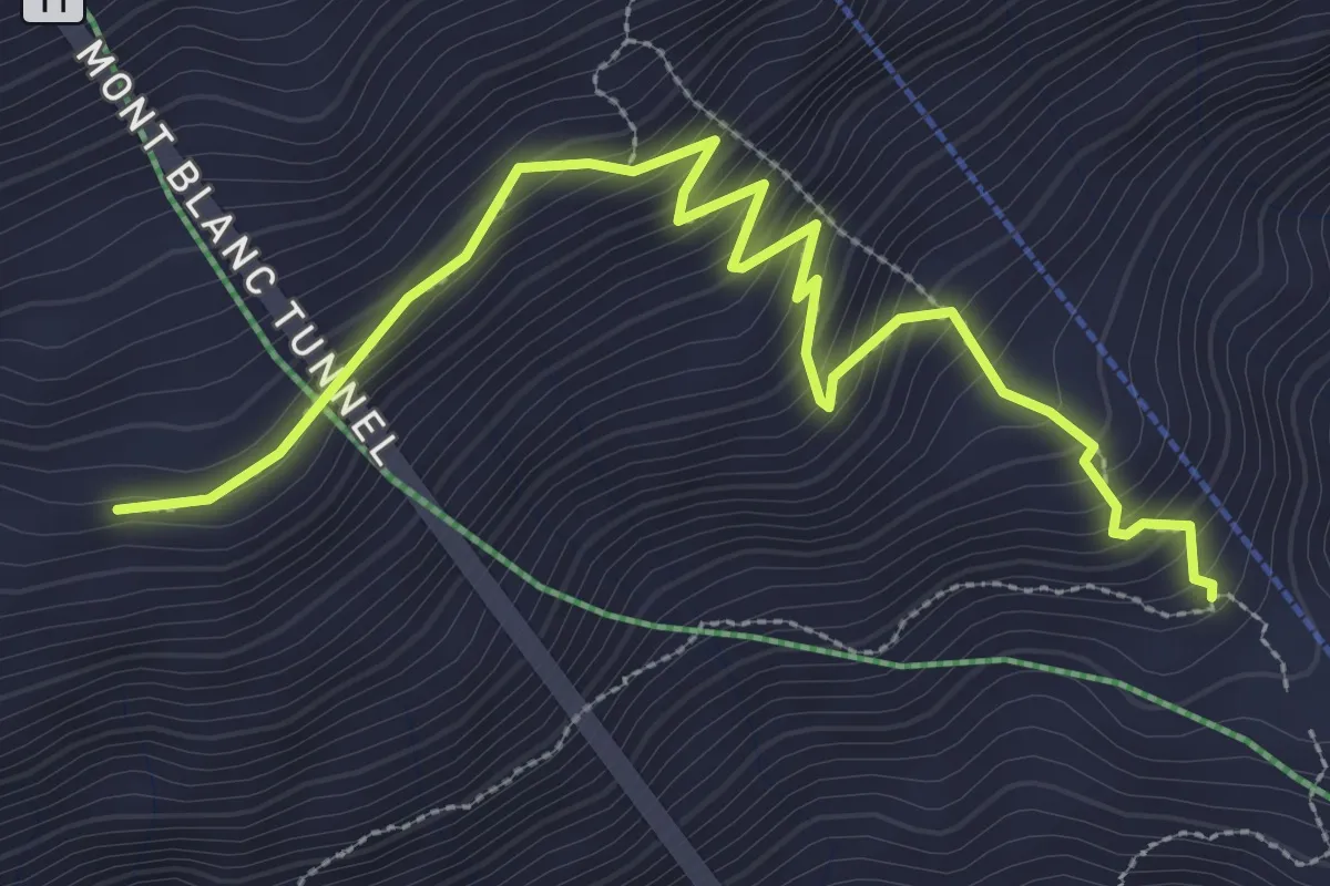
Medium · Trail
Pavillon – Morena Thoula
3.9 km · ↑ 369 m · 1 h 43 min · 11 km away
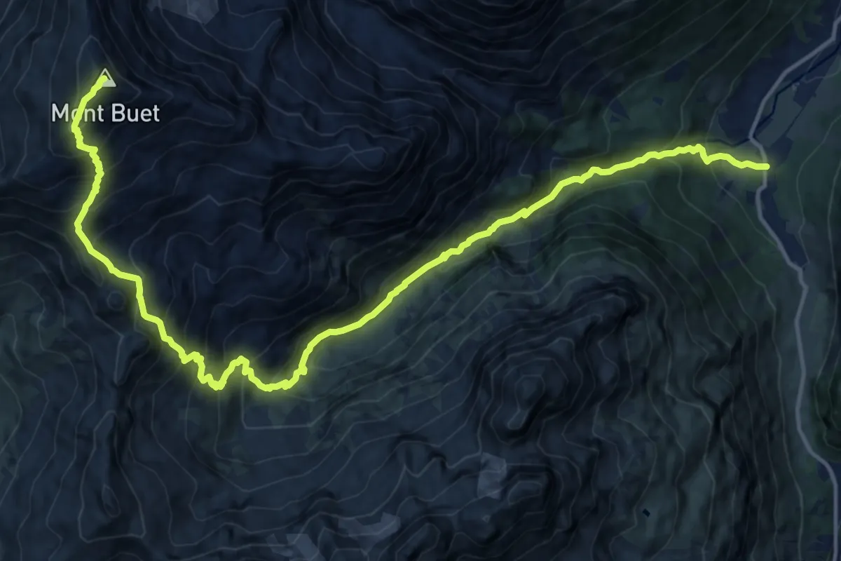
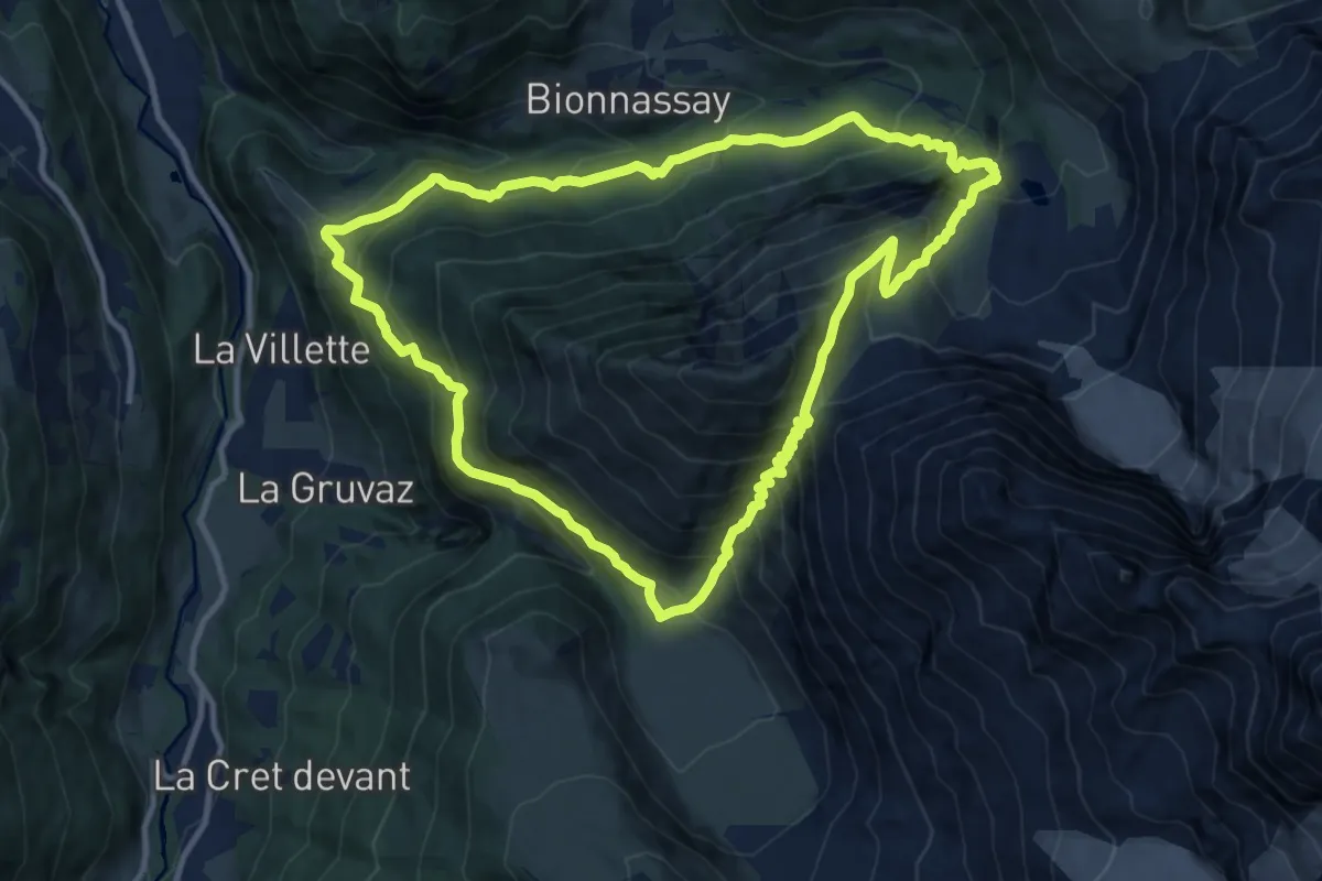
Demanding · Summit
Mont Buet
18.7 km · ↑ 1766 m · 8 h 15 min · 11 km away
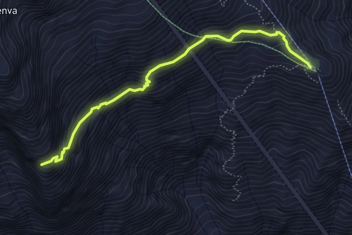
Demanding · Trail
Col de Tricot
11.4 km · ↑ 1134 m · 5 h 18 min · 12 km away
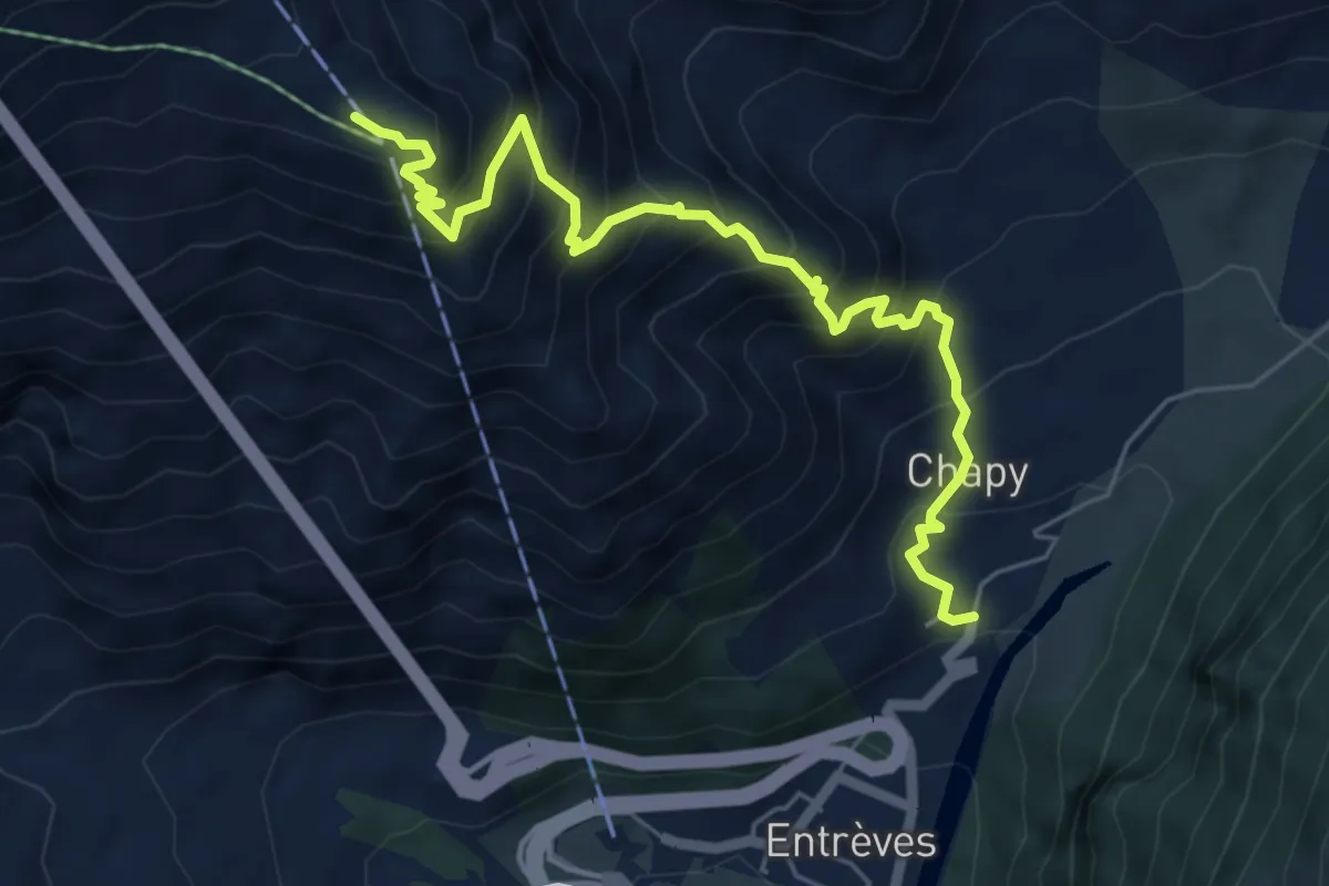
Medium · Cabin
Pavillon – Belvedere della Brenva
5.2 km · ↑ 448 m · 2 h 12 min · 12 km away
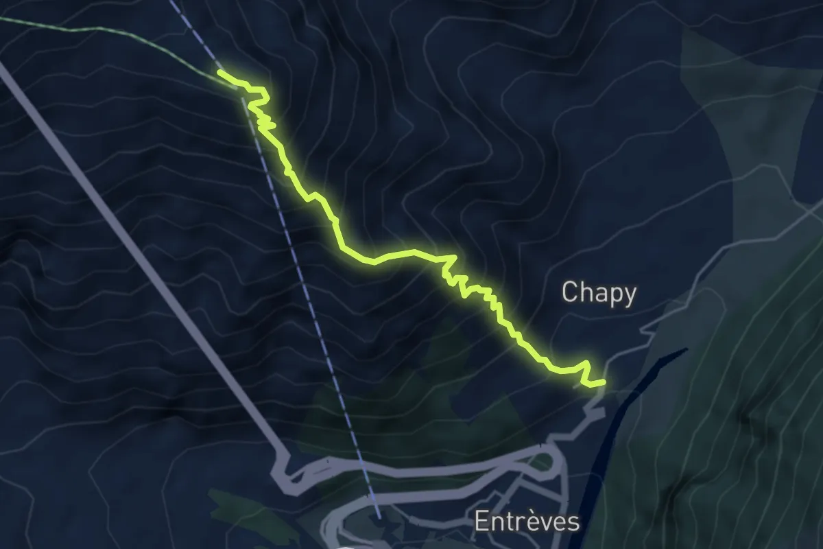
Demanding · Trail
La Palud – Pavillon
6.5 km · ↑ 850 m · 3 h 23 min · 12 km away
Medium · Trail
La Palud – Pavillon
4.9 km · ↑ 790 m · 2 h 52 min · 12 km away
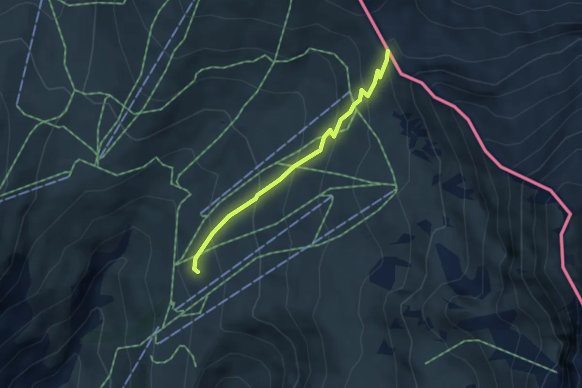
Medium · Cabin
Tour du Mont Blanc - Variante du Tour
3.2 km · ↑ 279 m · 1 h 21 min · 13 km away
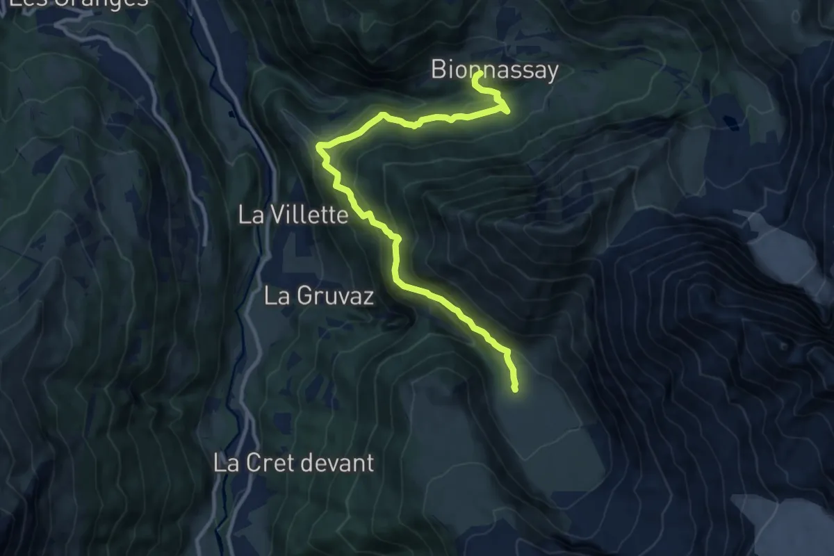
Demanding · Cabin
Refuge de Miage – Bionnassay
11.5 km · ↑ 932 m · 4 h 44 min · 13 km away
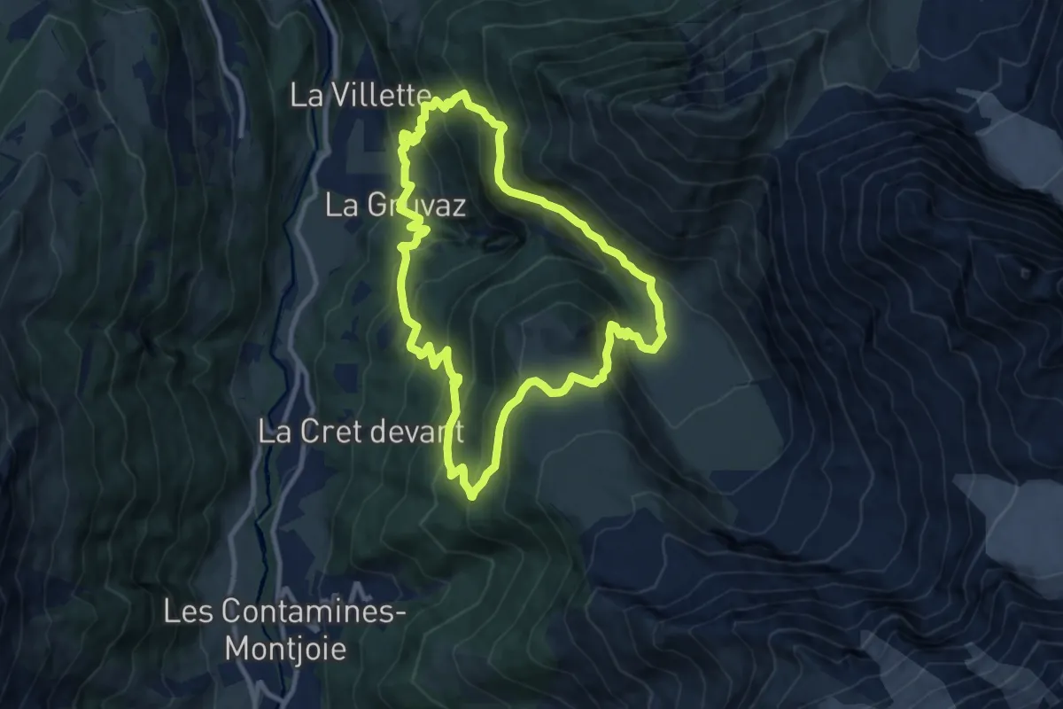
Medium · Cabin
La Gruvaz - Le Truc - Alpage de Miage
9.3 km · ↑ 793 m · 4 h 3 min · 13 km away
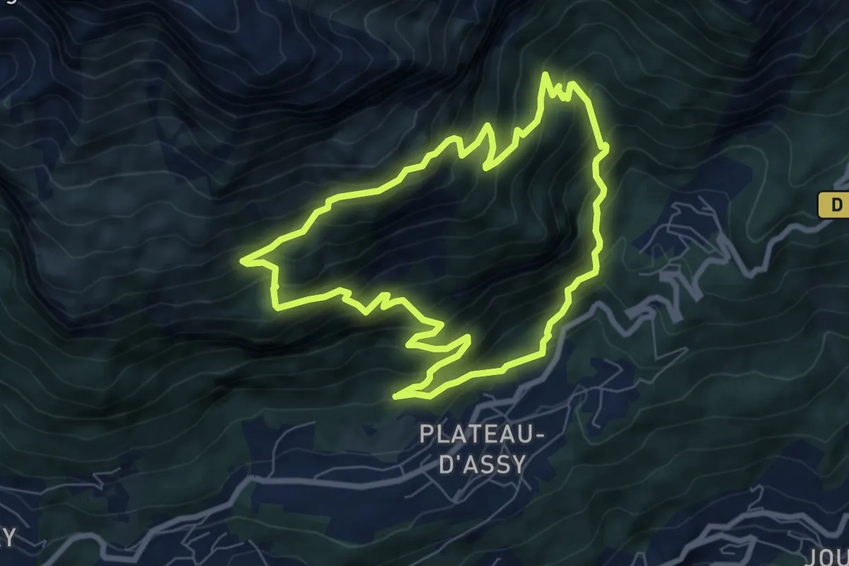
Medium · Trail
Boucle des Balcons d'Assy
7.1 km · ↑ 655 m · 3 h 11 min · 13 km away
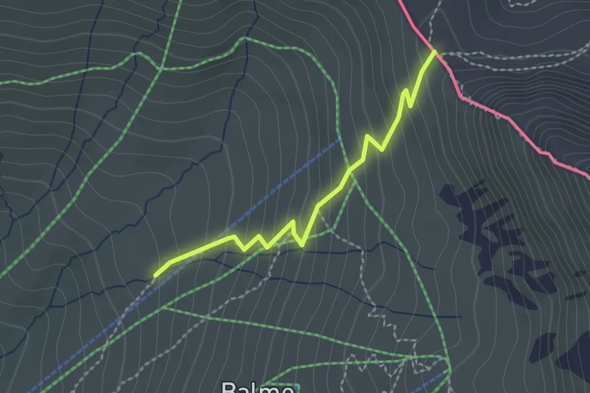
Medium · Cabin
Col de Balme – Tré-le-Champ
2.0 km · ↑ 185 m · 52 min · 13 km away
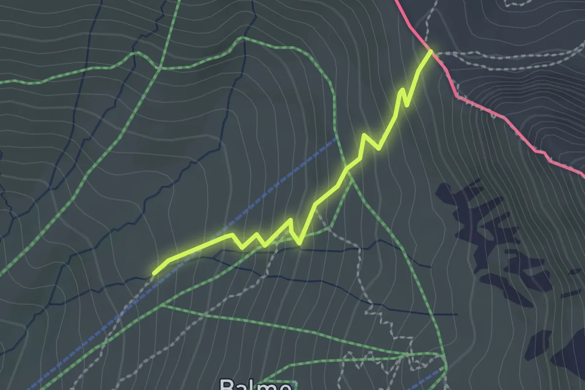
Medium · Cabin
Argentière – Col de Balme
2.0 km · ↑ 185 m · 52 min · 13 km away
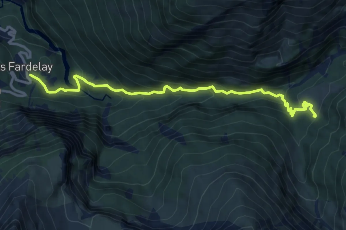
Expert · Cabin
Cirque des Fonts
3.8 km · ↑ 489 m · 1 h 50 min · 13 km away
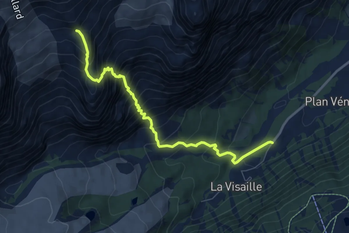
Expert · Trail
Area pic-nic Plan Veny - Rifugio Monzino
7.3 km · ↑ 1048 m · 4 h · 14 km away
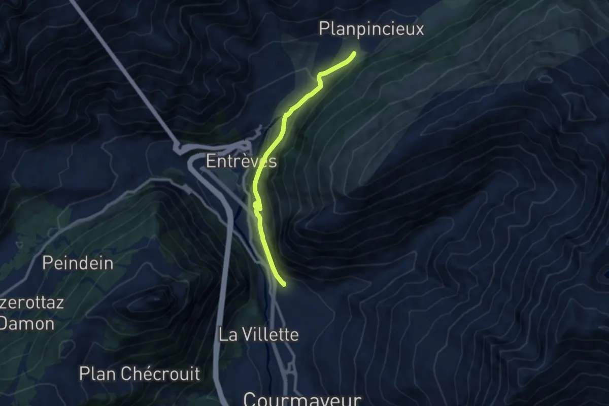
Medium · Trail
Percorso 35 – La Palud
7.9 km · ↑ 392 m · 2 h 42 min · 14 km away
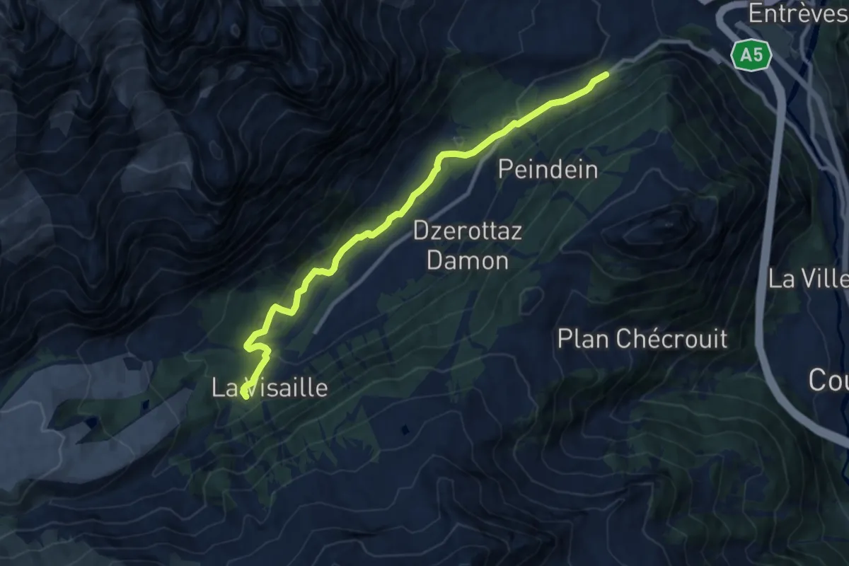
Medium · Trail
Plan Ponquet - Peuterey - Visaille (giro dei tre ponti)
10.0 km · ↑ 276 m · 2 h 58 min · 14 km away
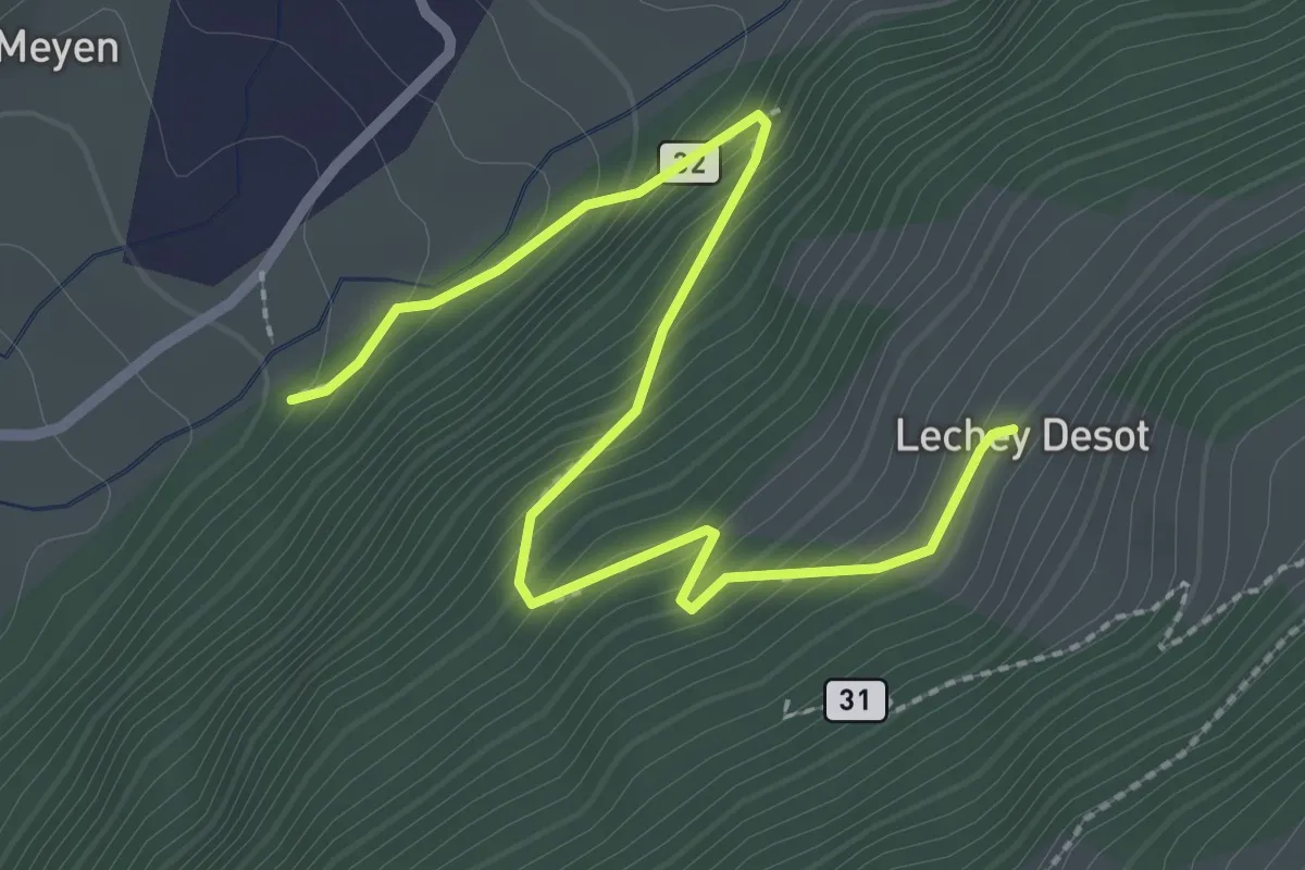
Medium · Trail
Lechey Desot – Meyen
3.1 km · ↑ 283 m · 1 h 20 min · 14 km away
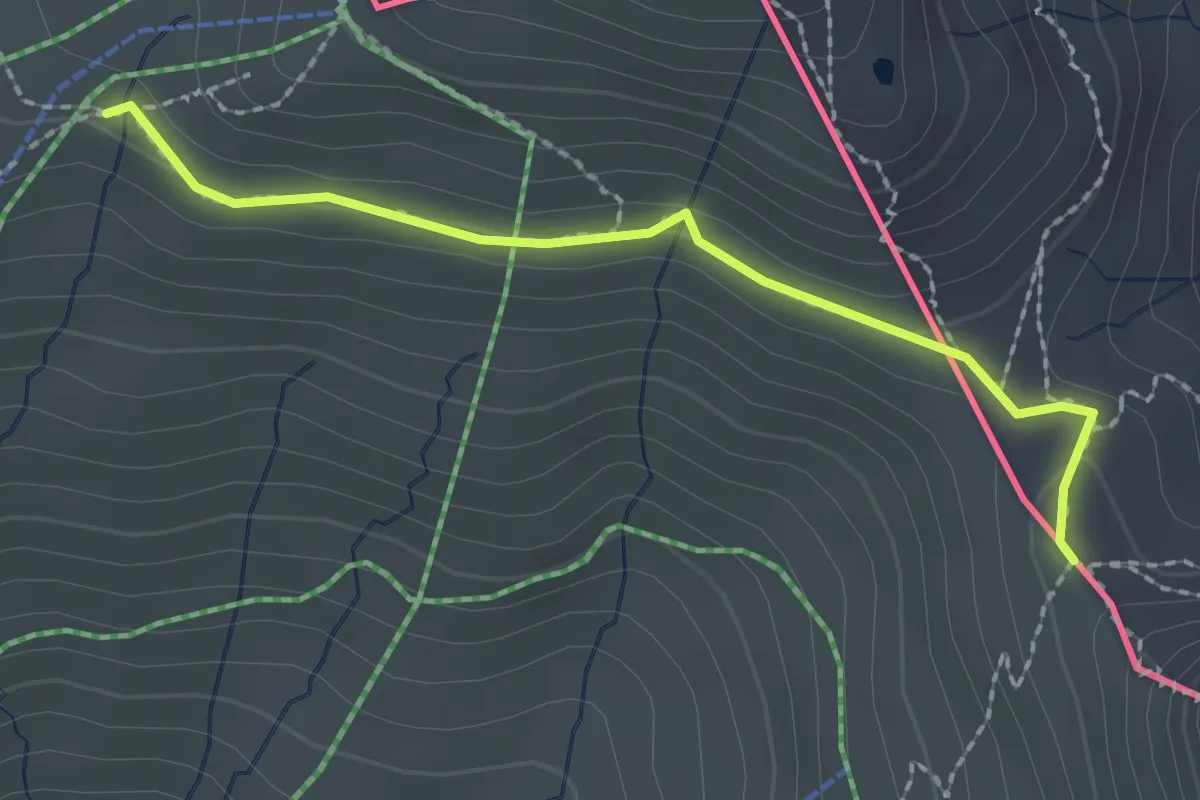
Medium · Cabin
Col de Balme – Tré-le-Champ
2.1 km · ↑ 71 m · 39 min · 14 km away
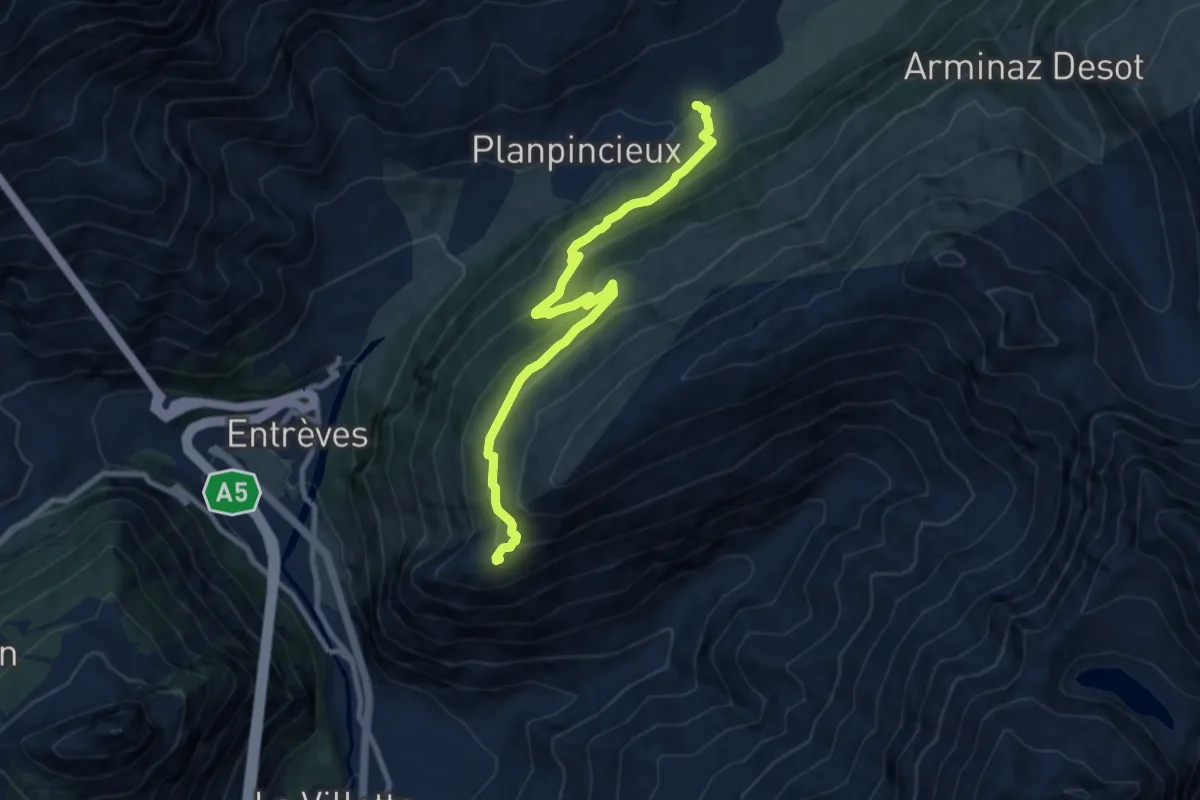
Medium · Cabin
Mayencet – Rifugio Bertone
9.7 km · ↑ 559 m · 3 h 30 min · 14 km away
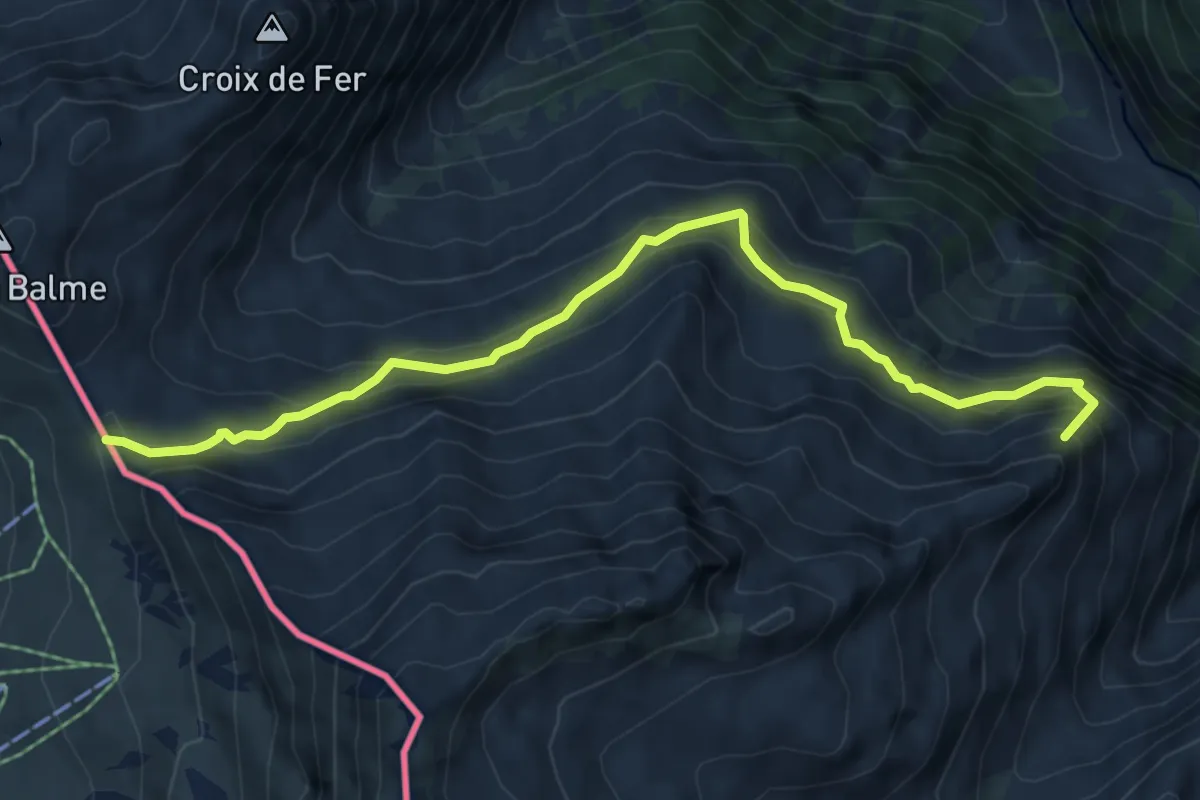
Medium · Summit
Col de Balme – Chalet du Glacier
6.7 km · ↑ 474 m · 2 h 37 min · 14 km away
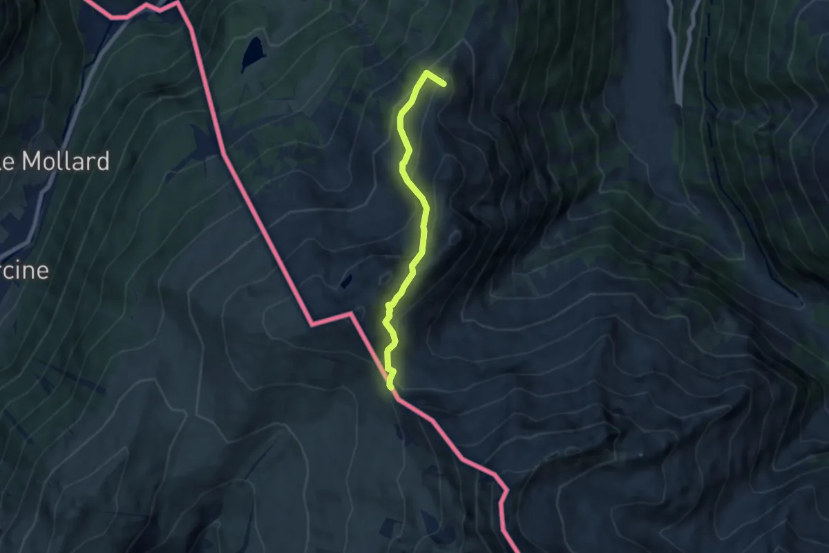
Medium · Summit
Col de Balme – Trient
5.6 km · ↑ 455 m · 2 h 18 min · 14 km away
Medium · Summit
Chalet du Glacier – Col de Balme
6.7 km · ↑ 474 m · 2 h 37 min · 14 km away