Trails near Clermont-l'Hérault
40 hikes starting within 15 km, nearest first.
Nearest first
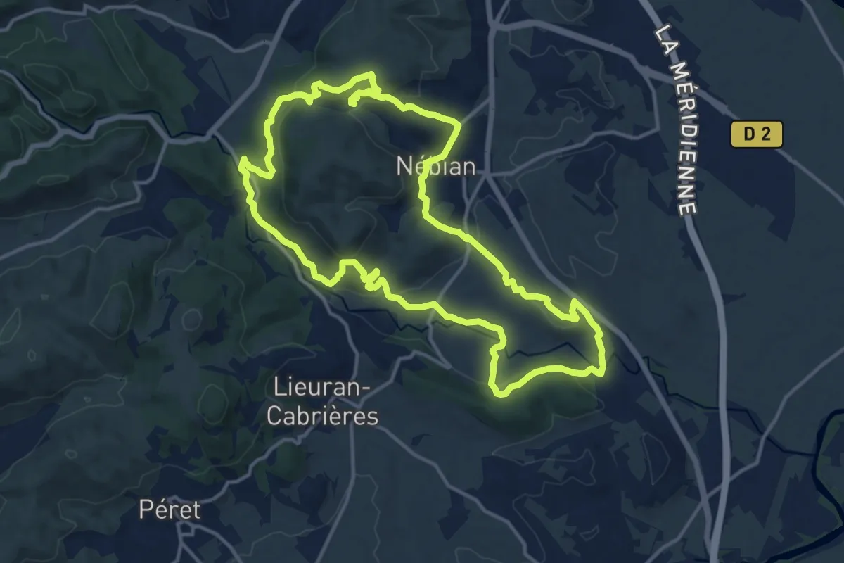
Medium · Trail
La Tourelle
14.6 km · ↑ 422 m · 4 h 33 min · 2 km away
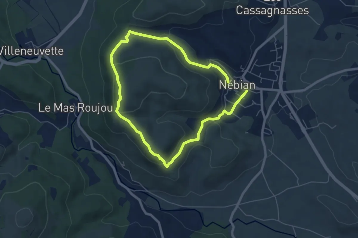
Medium · Trail
Garrigues
9.6 km · ↑ 324 m · 2 h 58 min · 2 km away
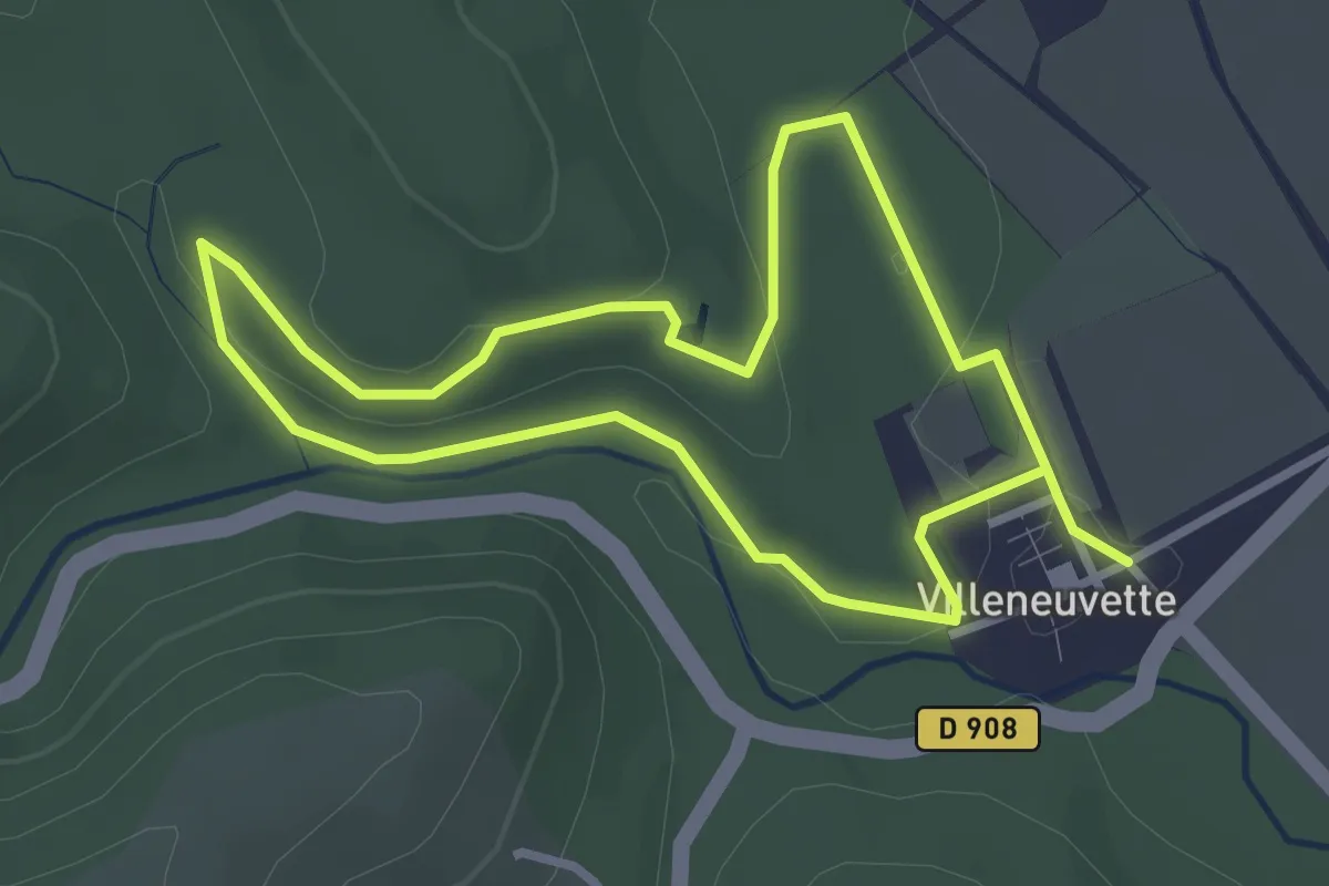
Easy · Trail
Villeneuvette
2.9 km · ↑ 41 m · 49 min · 3 km away
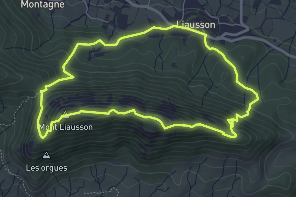
Medium · Summit
Le Mont Liausson
5.3 km · ↑ 303 m · 2 h · 5 km away
Easy · Summit
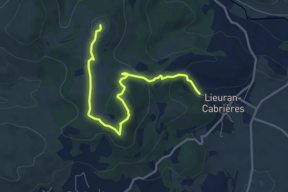
Balcons volcaniques
6.7 km · ↑ 242 m · 2 h 6 min · 5 km away
Medium · Trail
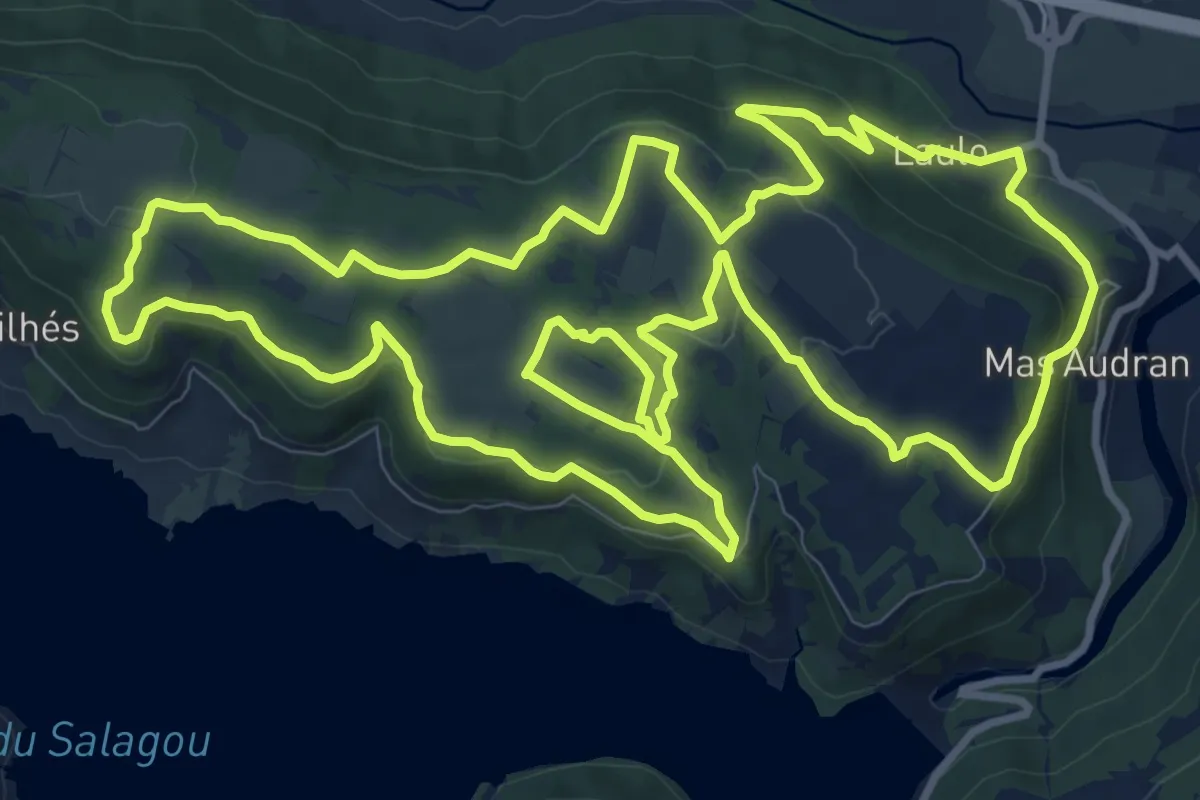
Circuit des Capitelles du Salagou
13.5 km · ↑ 291 m · 4 h · 6 km away
Medium · Summit
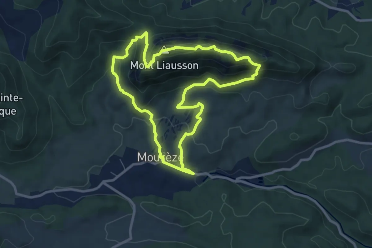
Cirque de Mourèze
6.8 km · ↑ 324 m · 2 h 24 min · 6 km away
Medium · Trail
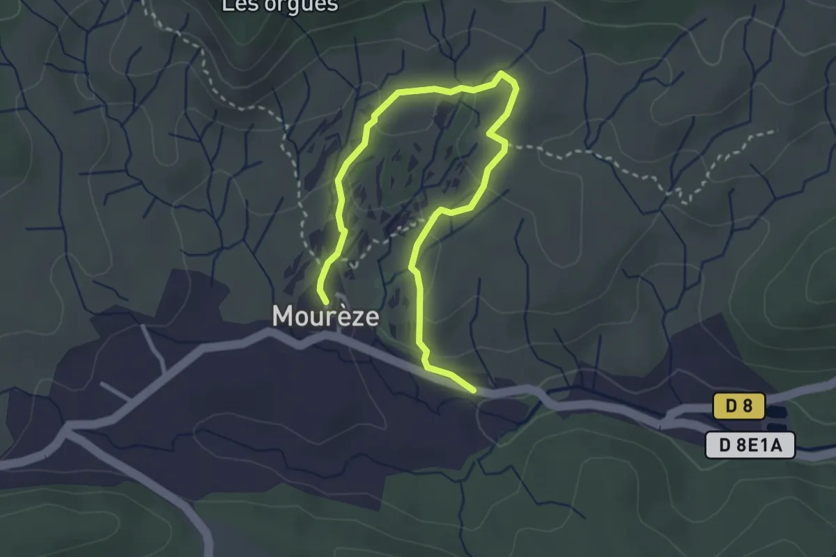
Sentier des Courtinals
3.8 km · ↑ 98 m · 1 h 7 min · 6 km away
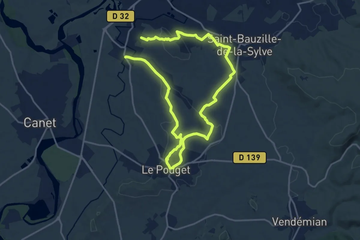
Demanding · Trail
Fontaines et lavoirs
20.8 km · ↑ 313 m · 5 h 35 min · 7 km away
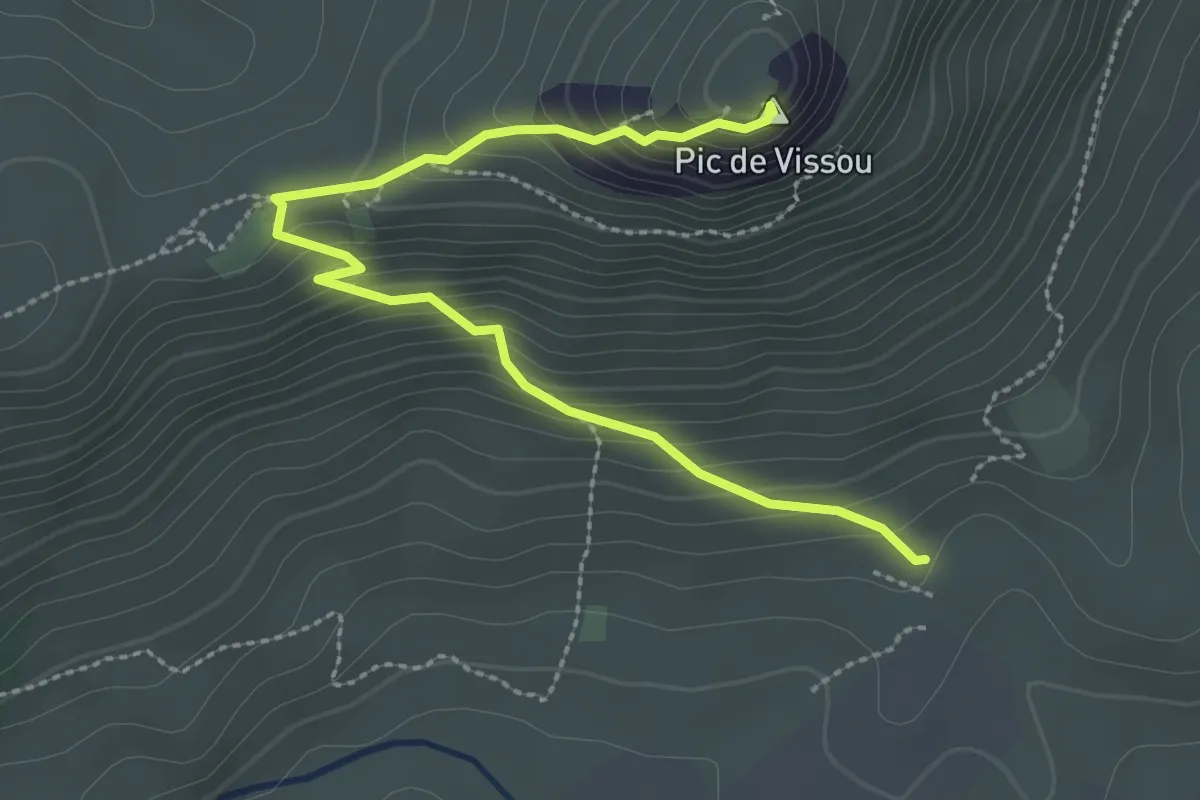
Easy · Summit
Vissou se raconte
3.3 km · ↑ 258 m · 1 h 20 min · 7 km away
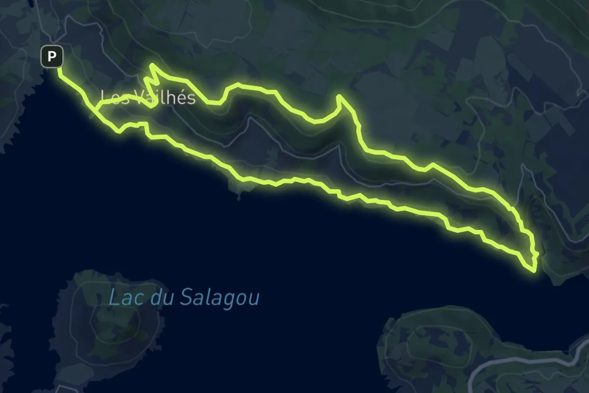
Medium · Trail
Les Vailhes
8.8 km · ↑ 187 m · 2 h 36 min · 8 km away
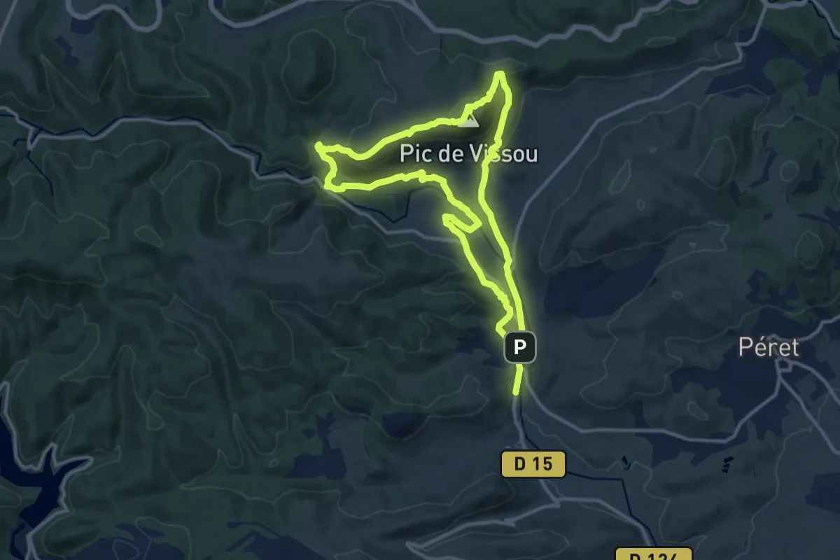
Medium · Summit
Les Crêtes du Vissou
11.2 km · ↑ 455 m · 3 h 48 min · 8 km away
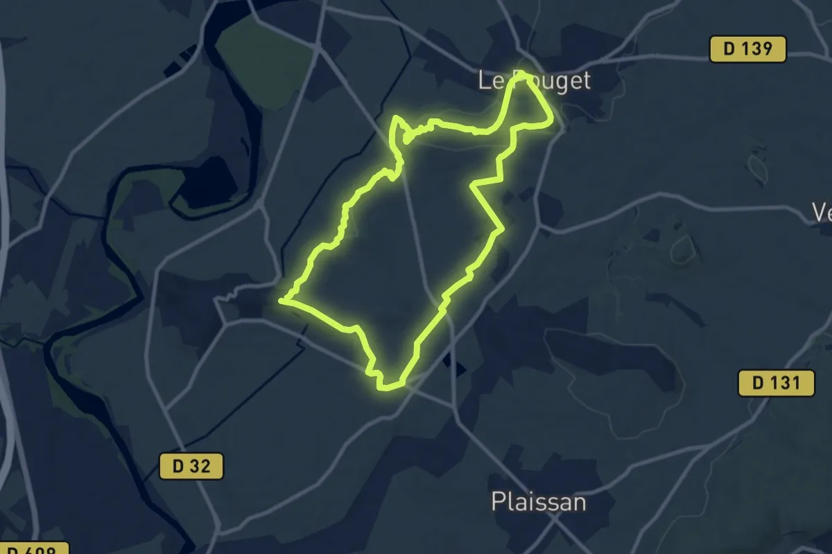
Medium · Trail
Dolmen et Fossé des Yeux
9.7 km · ↑ 116 m · 2 h 40 min · 8 km away
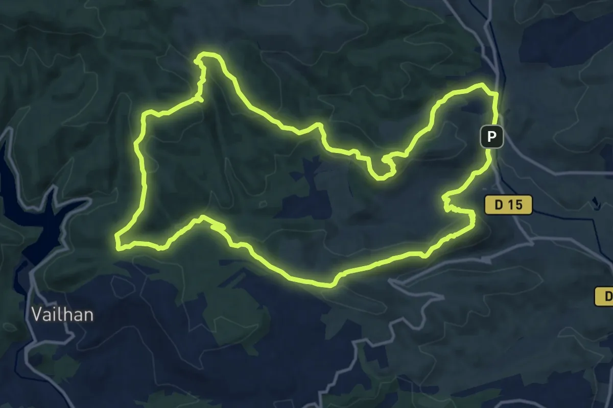
Medium · Trail
Drailles des Crozes
16.0 km · ↑ 570 m · 5 h 14 min · 8 km away
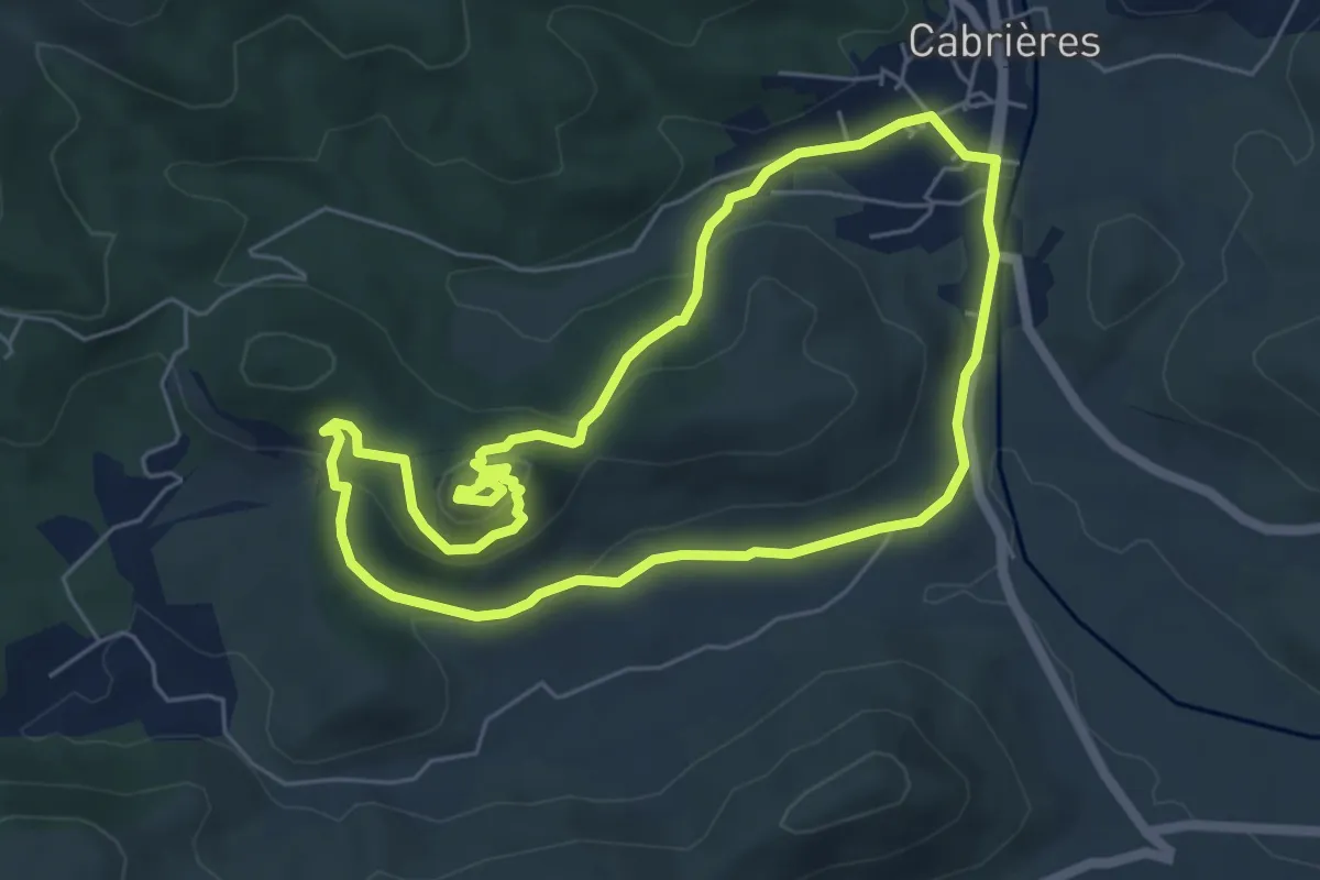
Medium · Trail
Cabrières Balade Médiévale
5.9 km · ↑ 158 m · 1 h 50 min · 9 km away
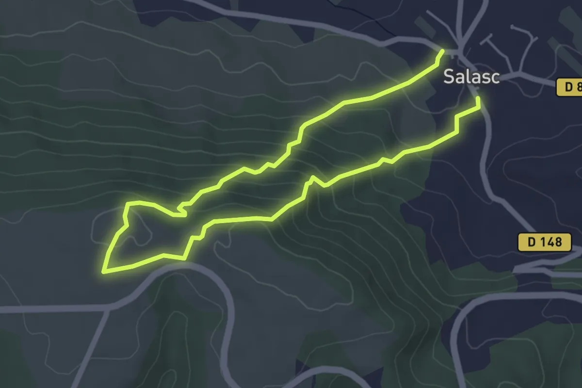
Medium · Trail
Sentier des Béals
7.8 km · ↑ 408 m · 2 h 43 min · 9 km away
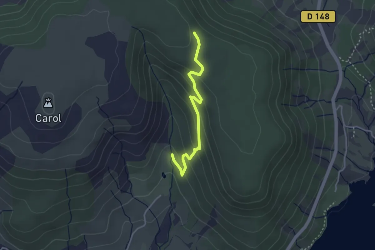
Easy · Trail
Randonnue Orange
3.0 km · ↑ 147 m · 1 h 2 min · 10 km away
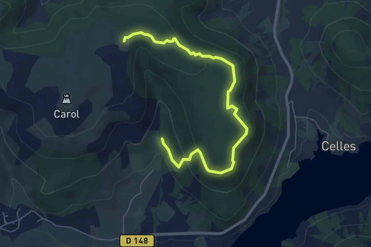
Easy · Trail
Randonnue verte
6.3 km · ↑ 195 m · 1 h 55 min · 10 km away
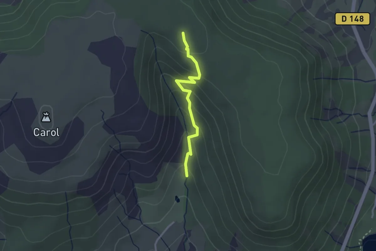
Easy · Trail
Randonnue Rouge Jaune
2.4 km · ↑ 145 m · 53 min · 10 km away
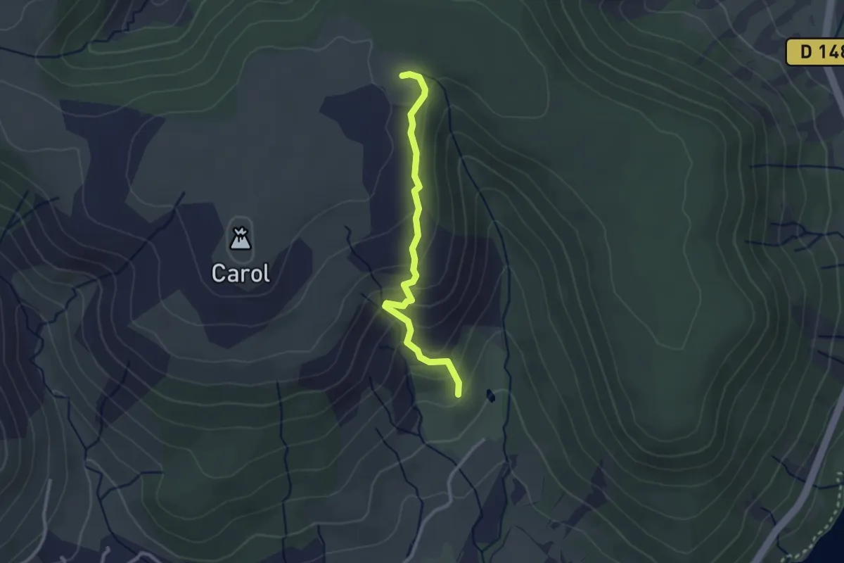
Easy · Trail
Randonnue Jaune
2.6 km · ↑ 162 m · 58 min · 10 km away
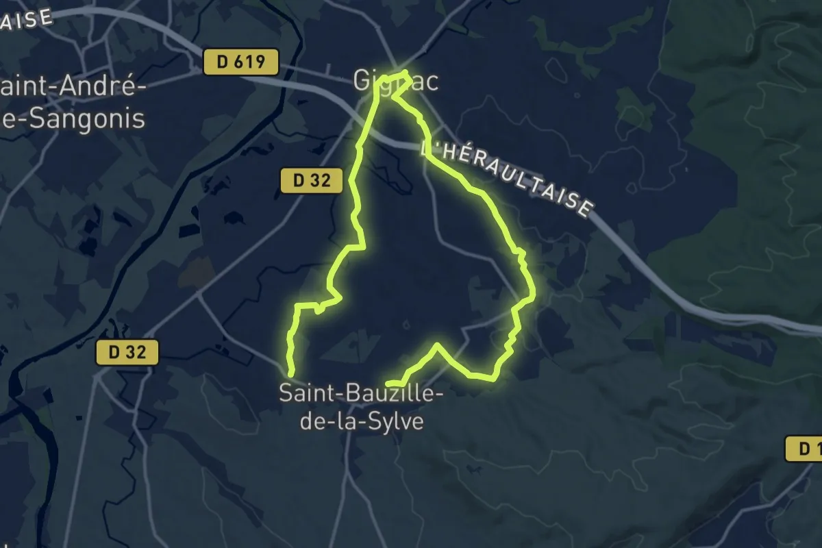
Demanding · Trail
Canal et rieux
22.7 km · ↑ 210 m · 5 h 48 min · 10 km away
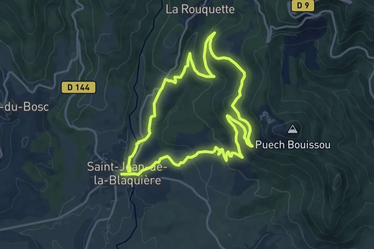
Medium · Trail
Des bois de Homs et de Latuder
9.3 km · ↑ 278 m · 2 h 56 min · 10 km away
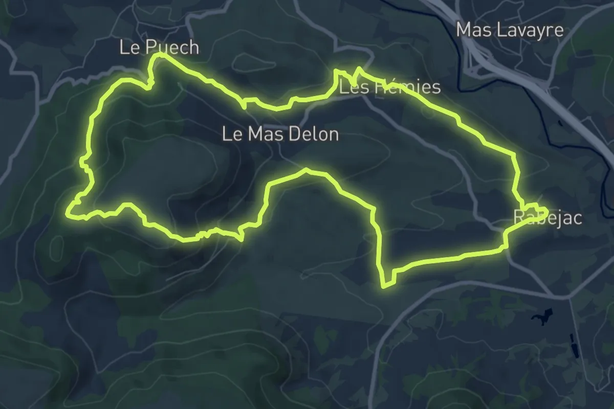
Medium · Trail
Le Cayroux
10.9 km · ↑ 343 m · 3 h 28 min · 10 km away
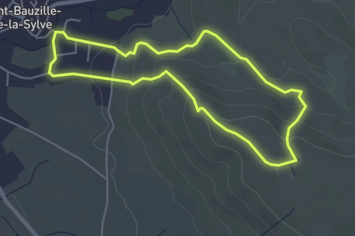
Easy · Trail
Plateau de l'Horloge
3.7 km · ↑ 122 m · 1 h 12 min · 10 km away
Easy · Trail
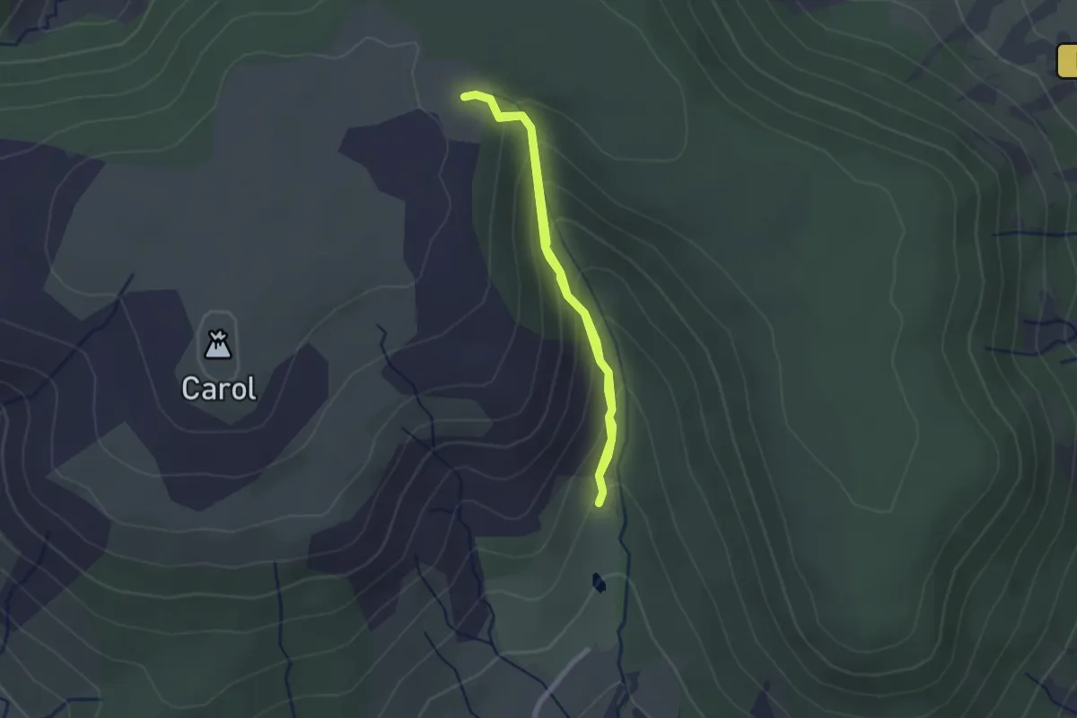
Randonnue Rouge
1.9 km · ↑ 146 m · 47 min · 10 km away
Easy · Trail
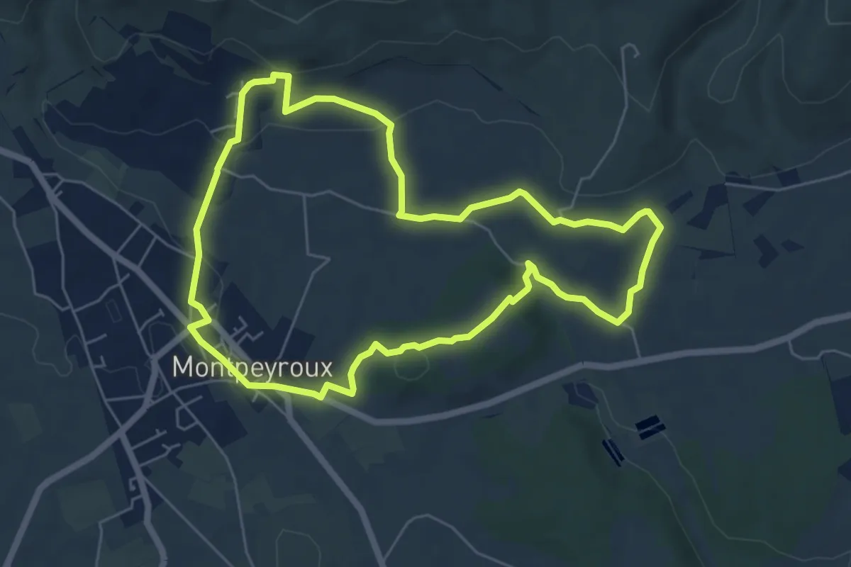
Castelbarry
6.0 km · ↑ 111 m · 1 h 44 min · 10 km away
Medium · Trail
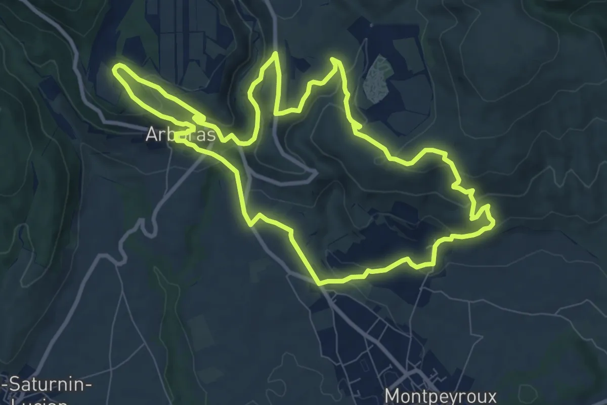
Castellas de Montpeyroux
9.6 km · ↑ 352 m · 3 h 9 min · 10 km away
Medium · Summit
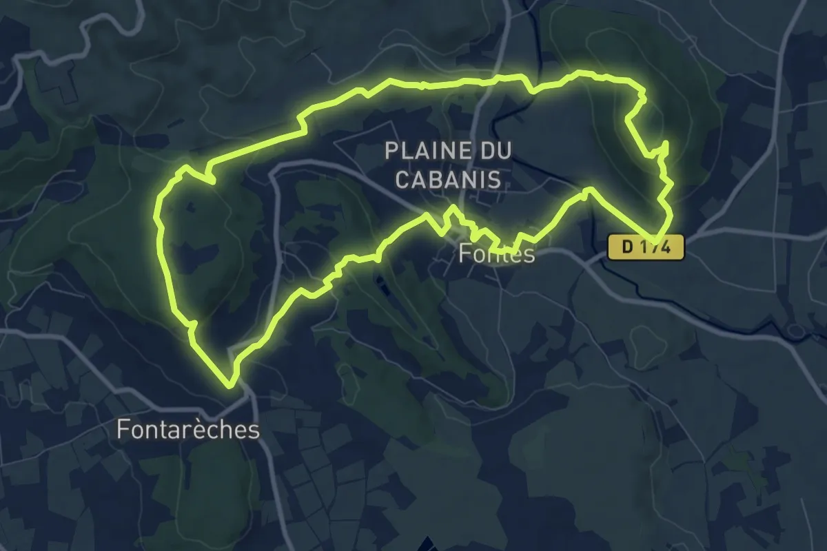
Fontès - Vignes et Volcans - Le Céressou
10.8 km · ↑ 347 m · 3 h 27 min · 11 km away
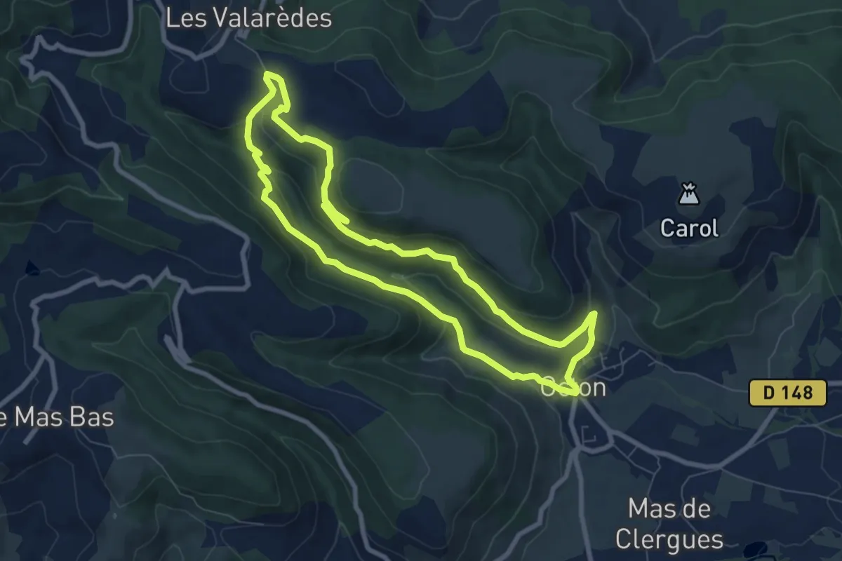
Easy · Trail
Notre Dame de Roubignac
7.5 km · ↑ 248 m · 2 h 25 min · 11 km away
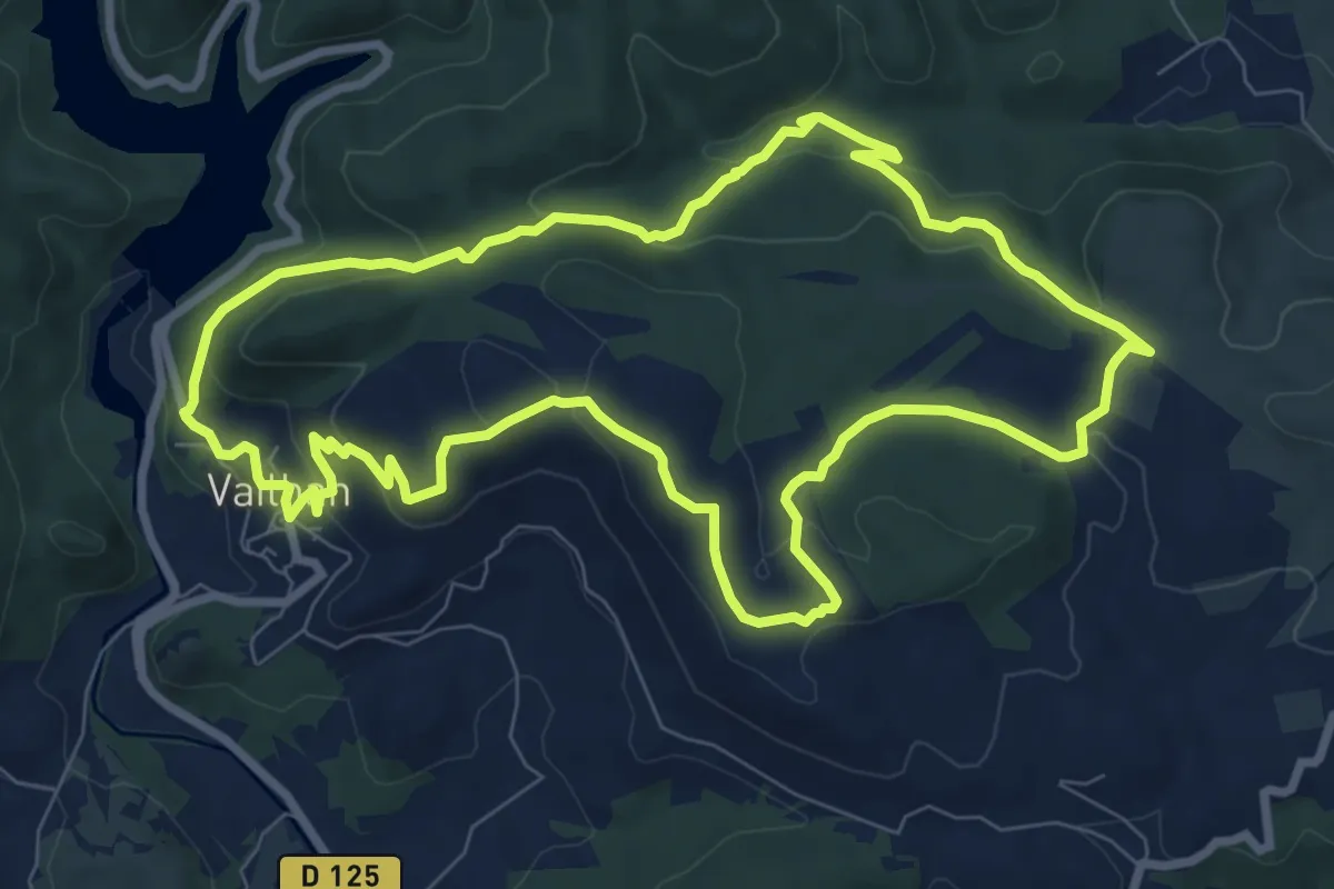
Medium · Summit
Sentier du Temple
9.2 km · ↑ 275 m · 2 h 54 min · 11 km away
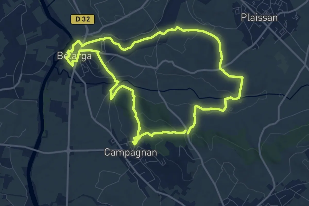
Medium · Trail
De Rouviège à Dardaillon
10.1 km · ↑ 161 m · 2 h 53 min · 11 km away
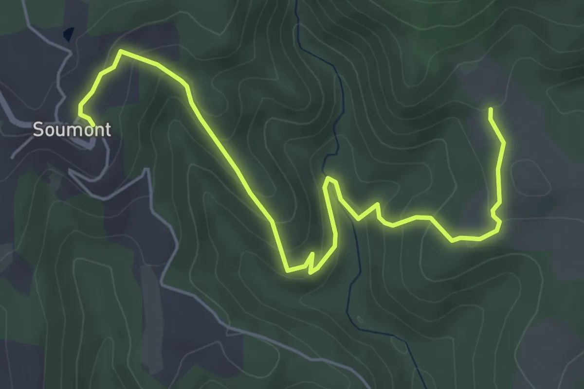
Easy · Trail
Les Balcons de Soumont Variante
3.2 km · ↑ 169 m · 1 h 8 min · 12 km away
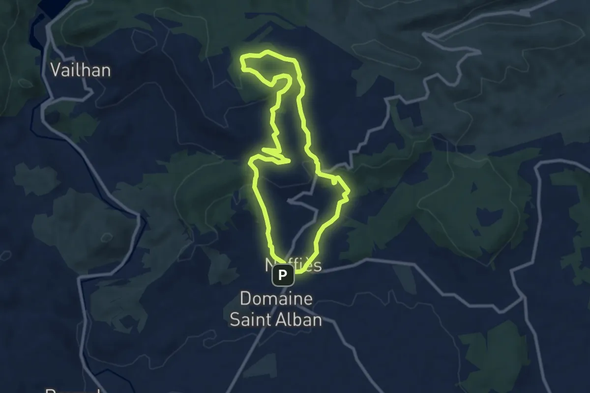
Easy · Summit
Le Faïgaras
7.6 km · ↑ 224 m · 2 h 23 min · 13 km away
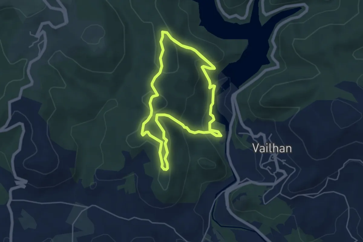
Medium · Trail
Sentier des Olivettes
9.6 km · ↑ 354 m · 3 h 3 min · 13 km away
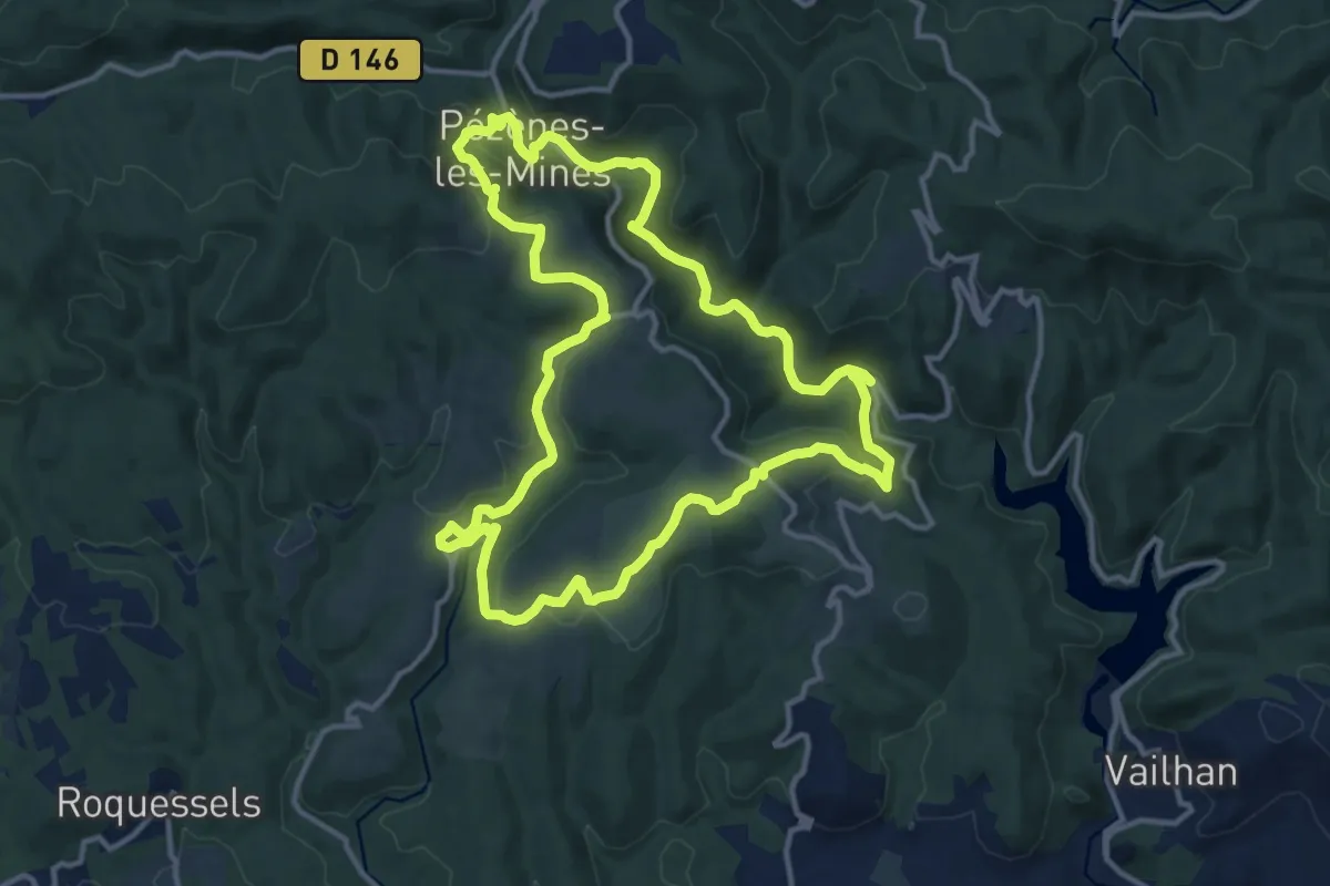
Medium · Trail
Pézènes-les-Mines : vallée de la Peyne et village de Fos
13.7 km · ↑ 378 m · 4 h 15 min · 13 km away
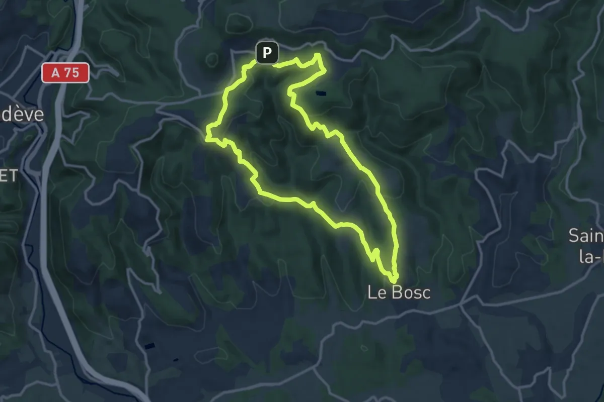
Medium · Trail
Les Balcons de Soumont
11.1 km · ↑ 351 m · 3 h 32 min · 14 km away
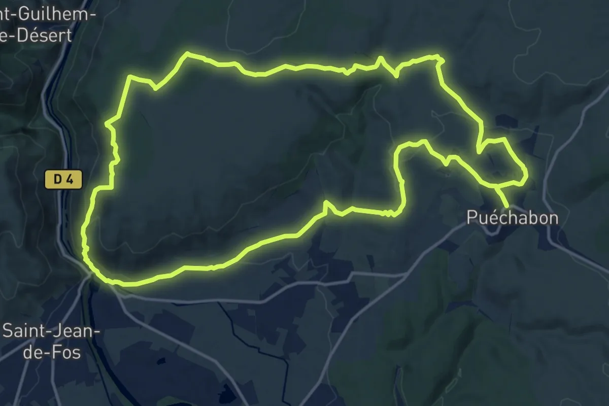
Demanding · Trail
Les Balcons de L'Hérault
16.5 km · ↑ 358 m · 4 h 55 min · 14 km away
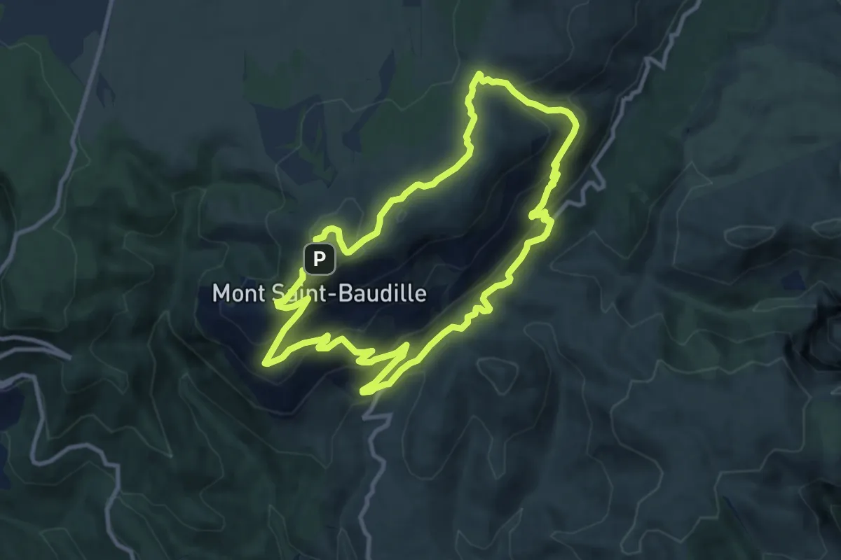
Medium · Summit
Le Mont Saint Baudille
10.3 km · ↑ 480 m · 3 h 37 min · 14 km away
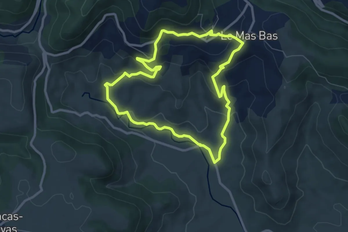
Easy · Trail
Les Ruffes
6.7 km · ↑ 266 m · 2 h 15 min · 14 km away
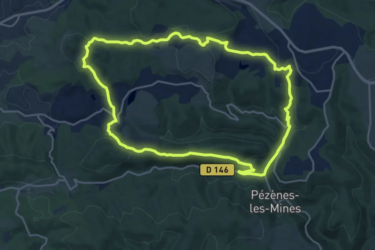
Medium · Trail
Le Dolmen de Pézènes
12.1 km · ↑ 353 m · 3 h 48 min · 14 km away