Trails near Cournon-d'Auvergne
60 hikes starting within 15 km, nearest first.
Nearest first, page 1 of 2
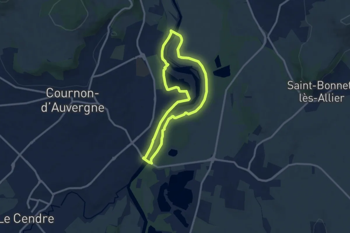
Easy · Trail
Bords d'Allier
6.6 km · ↑ 19 m · 1 h 41 min · 2 km away
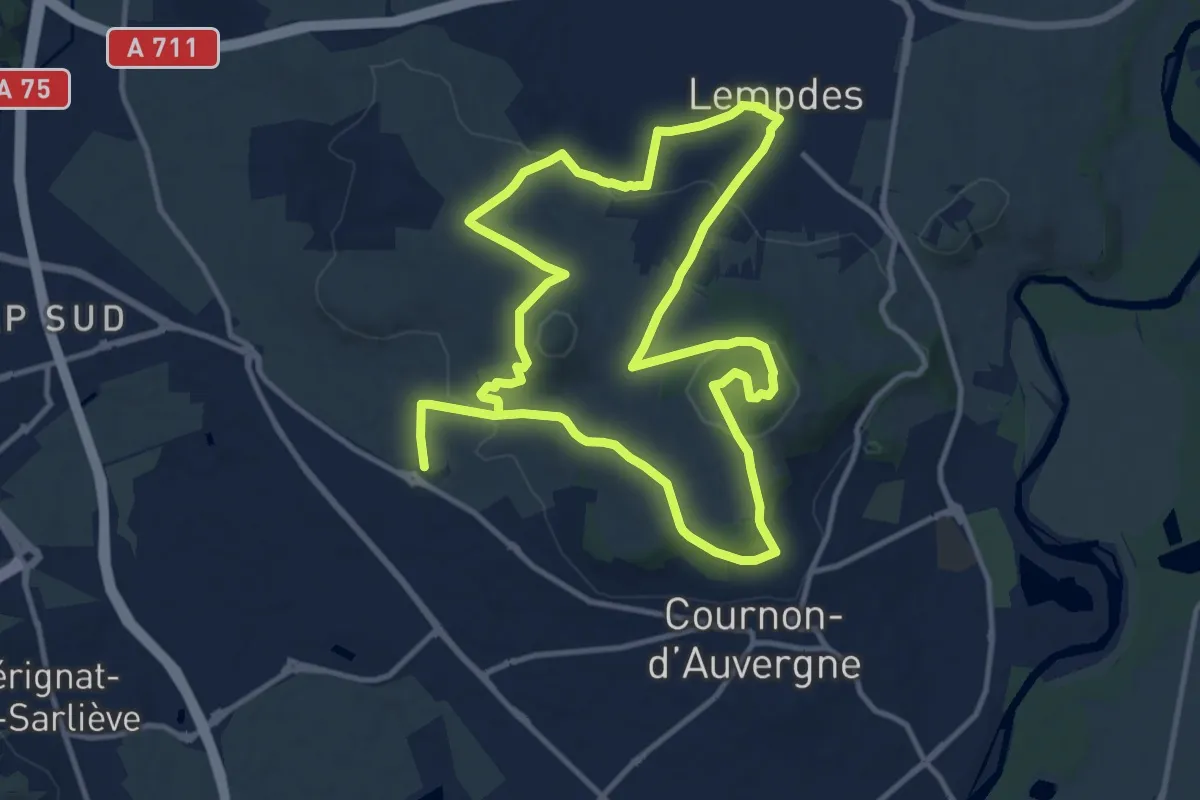
Medium · Summit
L'Allier et le Puy de Bane
11.9 km · ↑ 297 m · 3 h 38 min · 2 km away
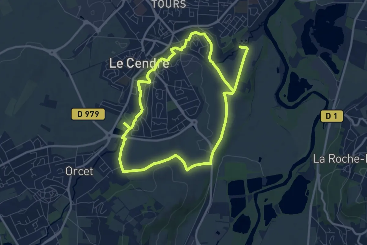
Easy · Trail
De l'Auzon a Gondole
7.6 km · ↑ 56 m · 2 h 2 min · 3 km away
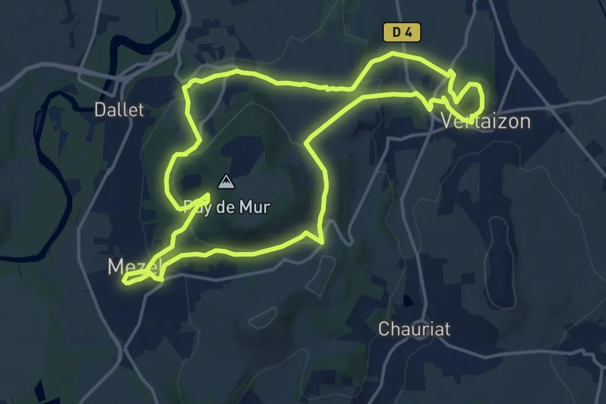
Medium · Trail
Le Tour du Puy de Mur
13.0 km · ↑ 480 m · 4 h 18 min · 4 km away
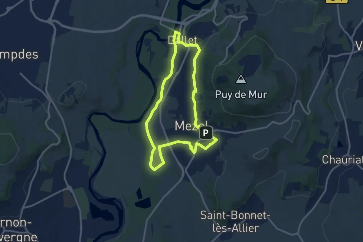
Easy · Trail
Les sentiers de la forme "A la découverte de l'Allier"
7.6 km · ↑ 123 m · 2 h 10 min · 4 km away
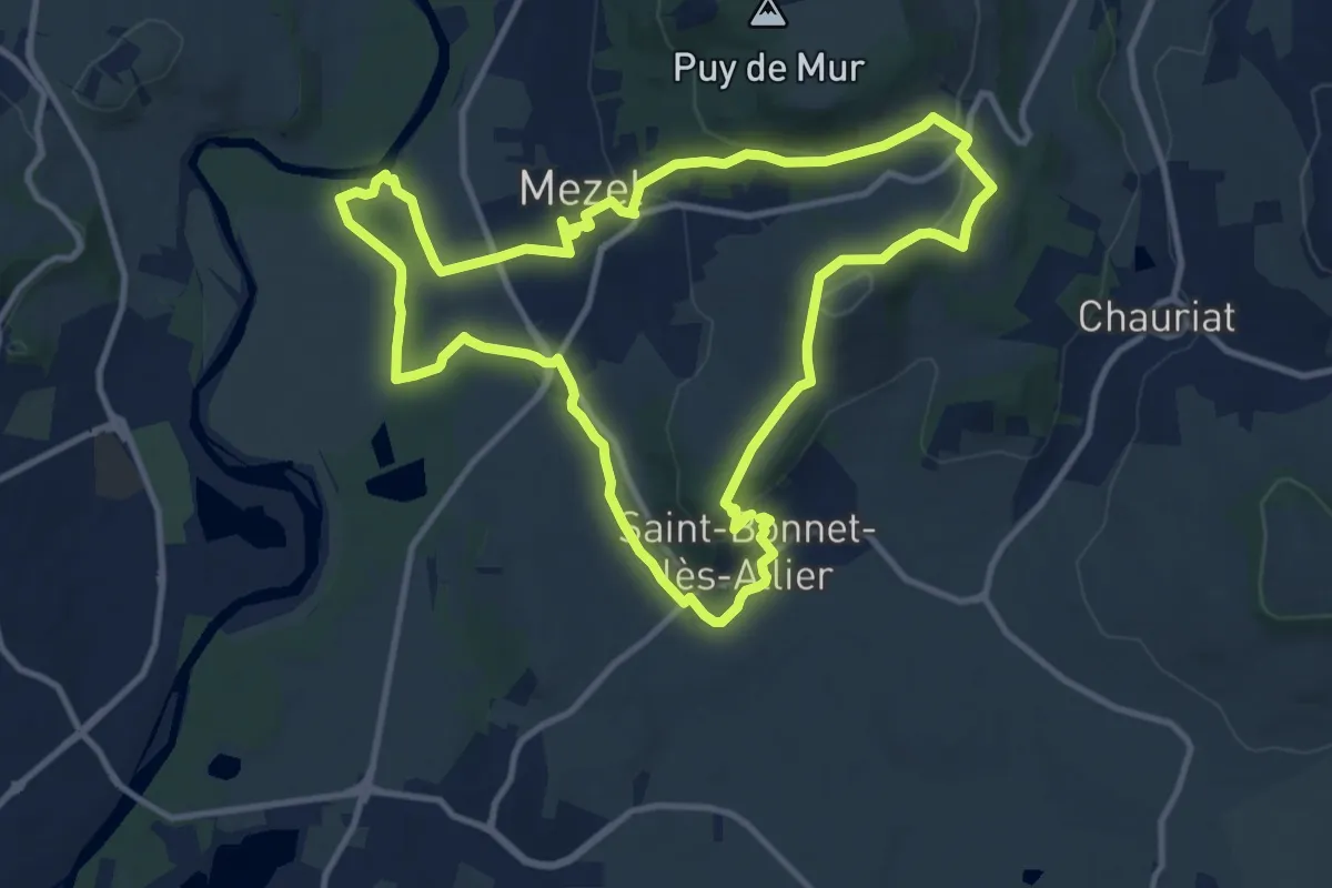
Medium · Trail
Le Puy de la Poule
11.6 km · ↑ 217 m · 3 h 22 min · 4 km away
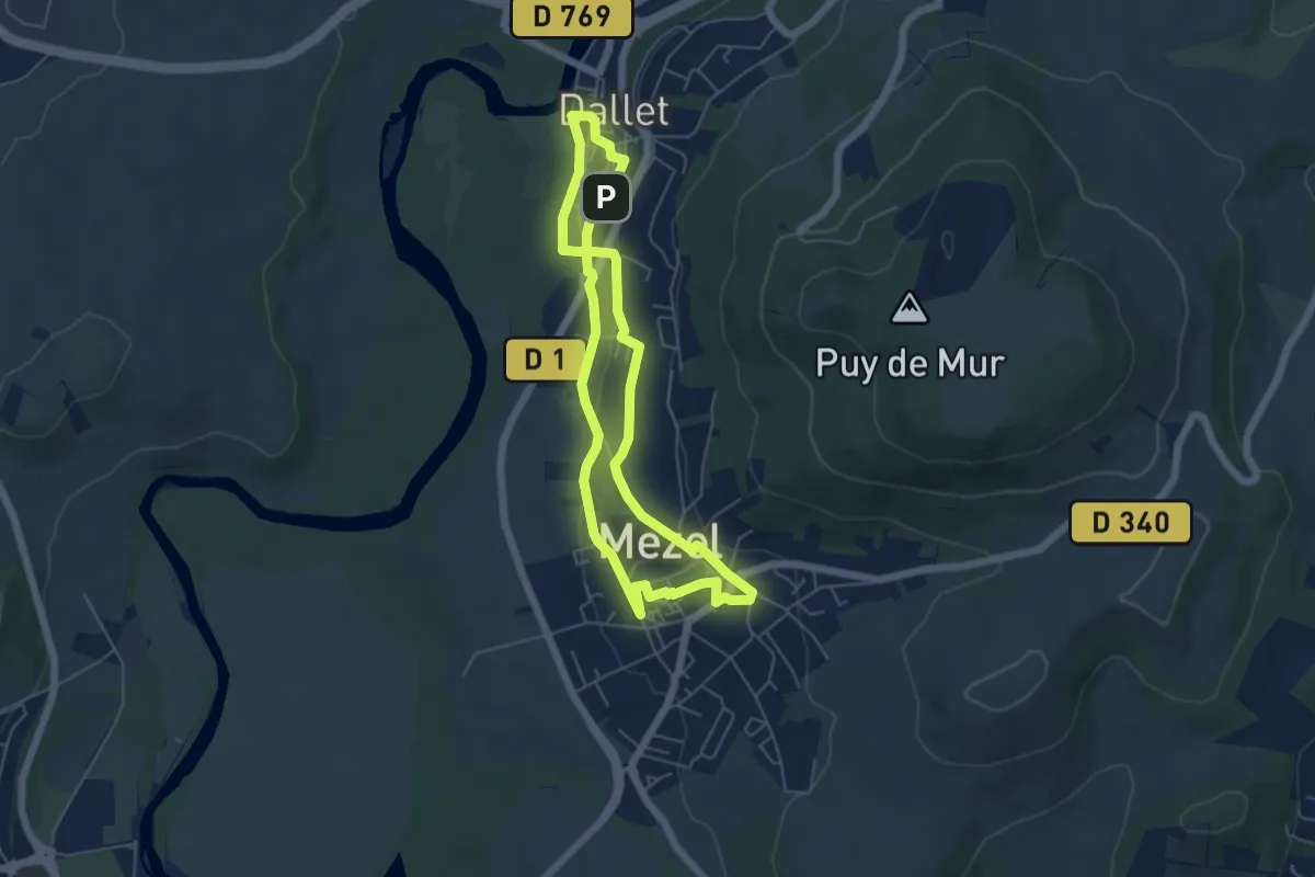
Easy · Trail
Les sentiers de la forme "A la découverte des bourgs"
5.2 km · ↑ 91 m · 1 h 30 min · 5 km away
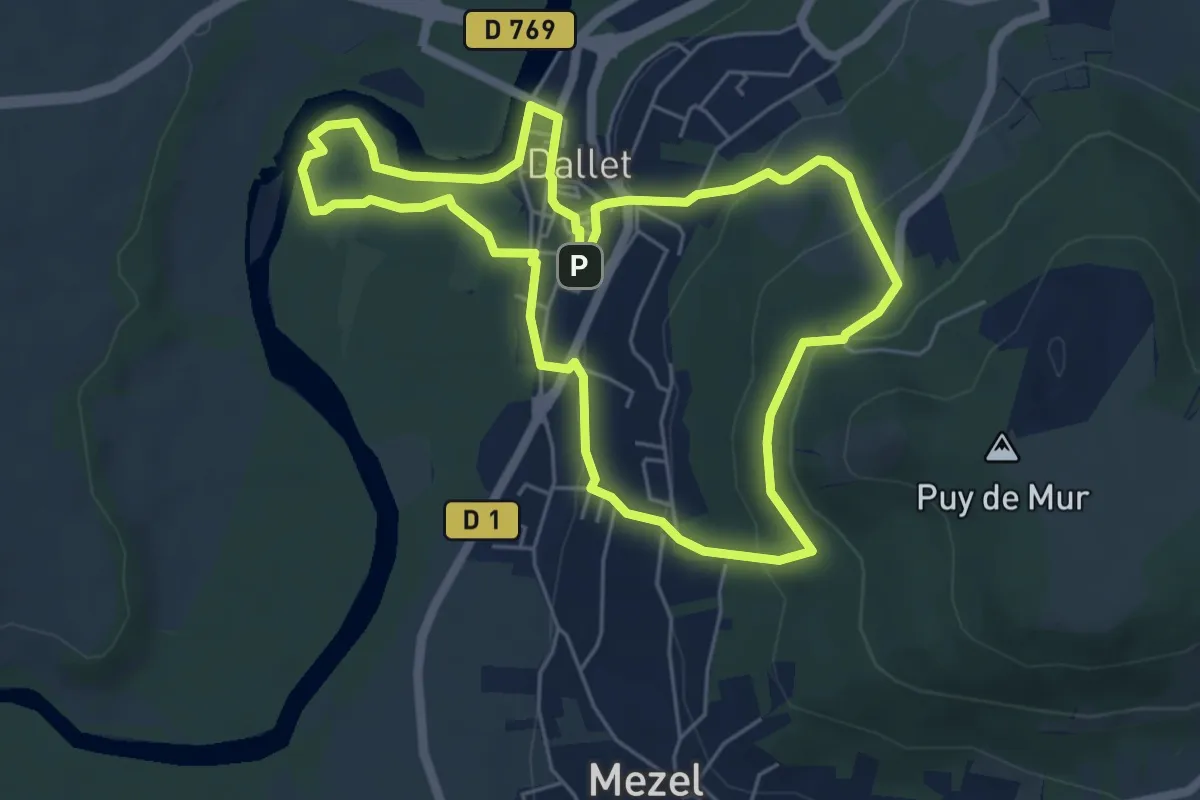
Easy · Trail
De l'Allier au Puy de Mur
5.7 km · ↑ 186 m · 1 h 50 min · 5 km away
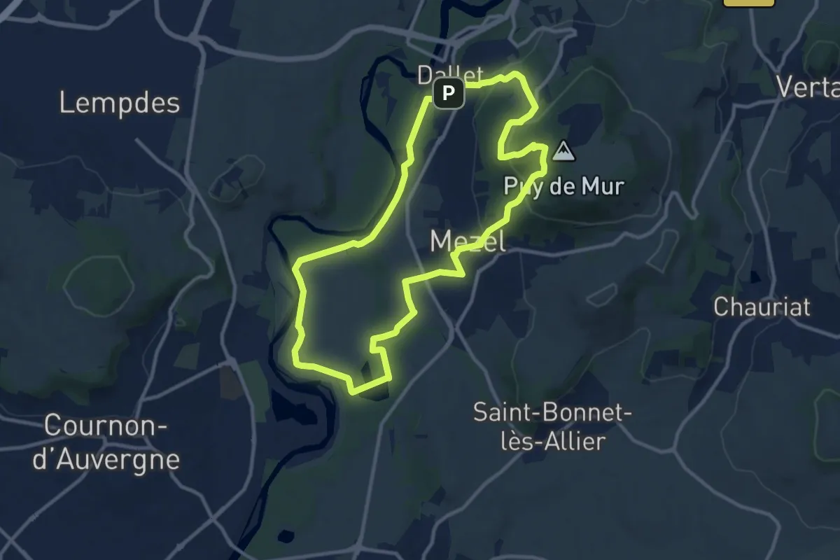
Medium · Summit
L'ascension du Puy de Mur
10.6 km · ↑ 291 m · 3 h 16 min · 5 km away
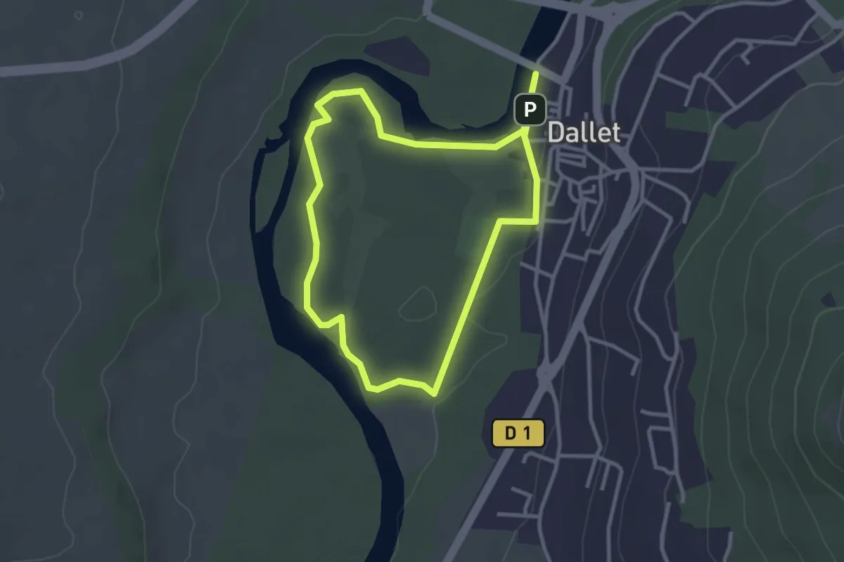
Easy · Trail
Dallet, Au fil de l'Allier
2.8 km · ↑ 4 m · 42 min · 5 km away
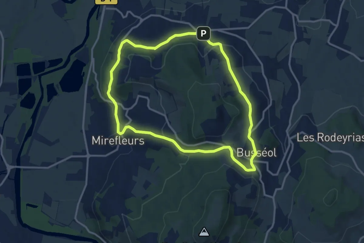
Medium · Trail
Busseol
8.7 km · ↑ 280 m · 2 h 47 min · 5 km away
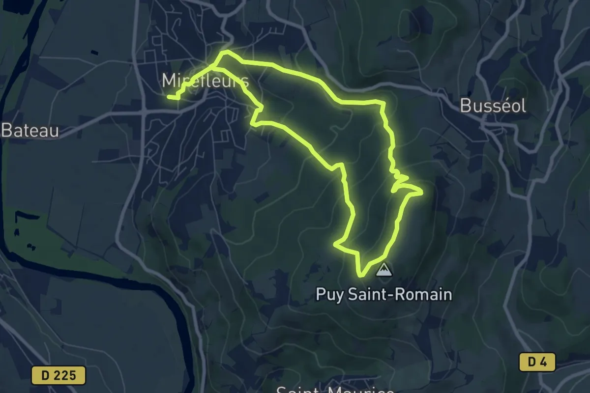
Medium · Summit
La Forêt du Puy Saint-Romain
6.9 km · ↑ 347 m · 2 h 30 min · 5 km away
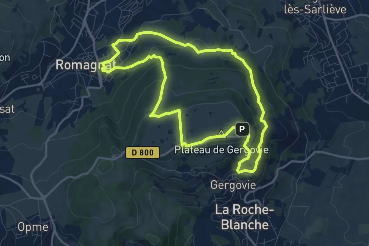
Medium · Summit
Le Plateau de Gergovie
9.2 km · ↑ 345 m · 3 h 2 min · 6 km away
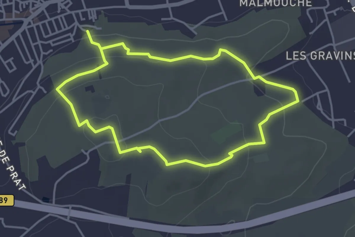
Easy · Trail
Le chemin des orchys
3.5 km · ↑ 103 m · 1 h 5 min · 6 km away
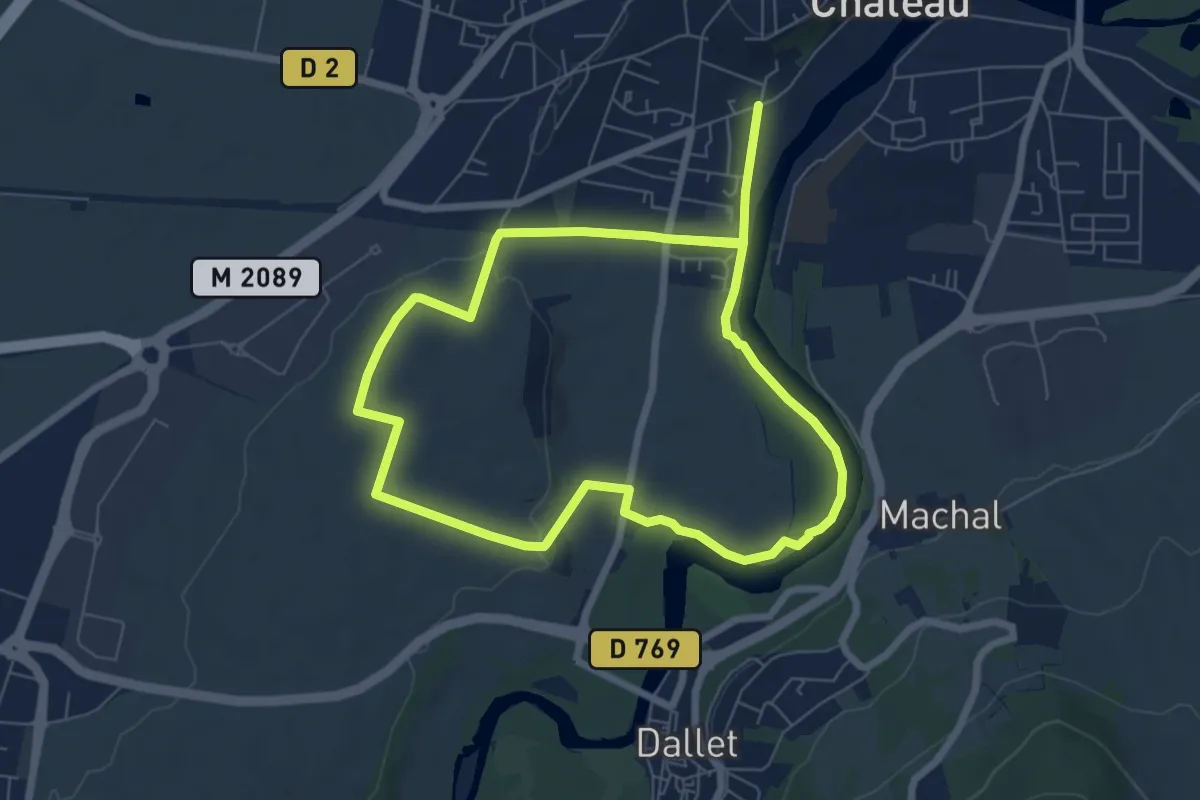
Easy · Trail
De Marchal a Cortal
6.5 km · ↑ 66 m · 1 h 46 min · 6 km away
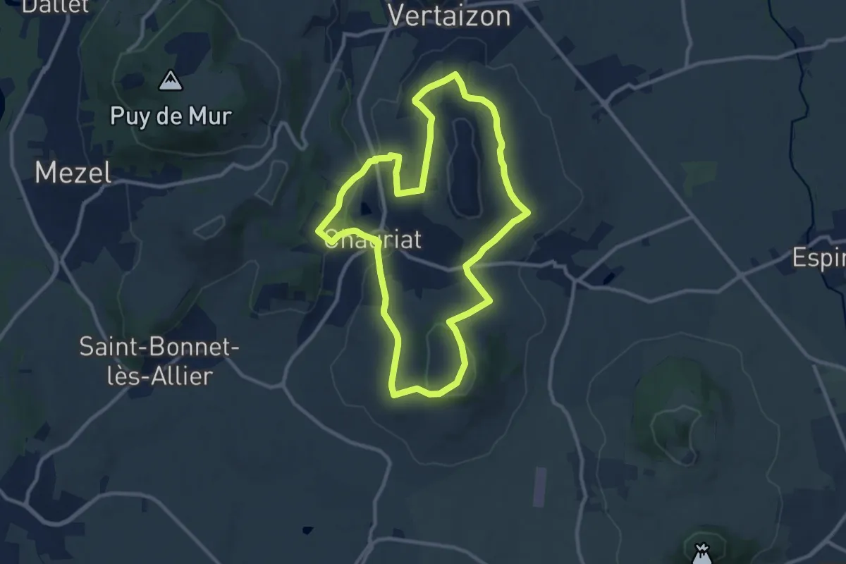
Medium · Trail
Les Coteaux de Chauriat
9.9 km · ↑ 239 m · 3 h · 6 km away
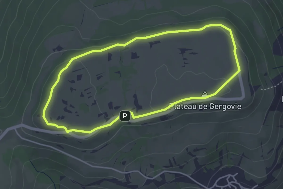
Easy · Summit
Le Plateau de Gergovie
3.5 km · ↑ 54 m · 1 h · 7 km away
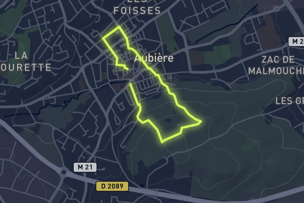
Easy · Trail
Le Quartier des Caves
2.8 km · ↑ 84 m · 52 min · 7 km away
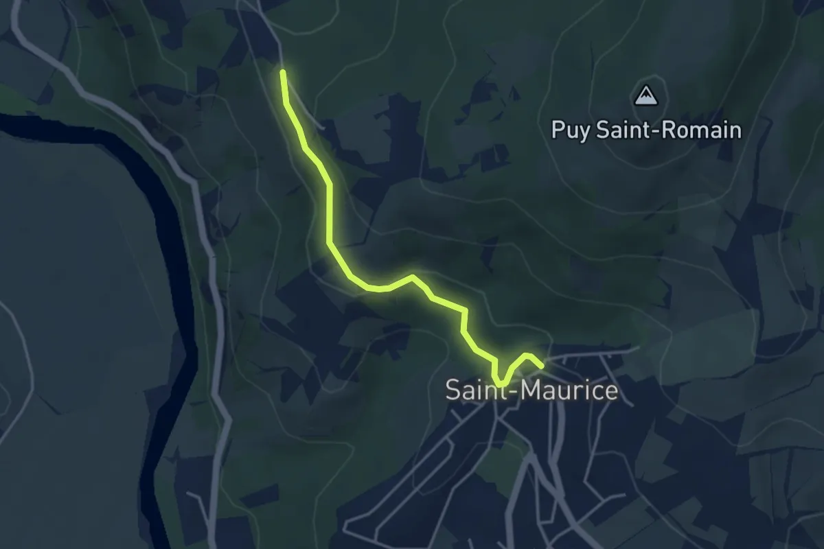
Easy · Trail
Le vallon des Bouys
3.5 km · ↑ 118 m · 1 h 5 min · 7 km away
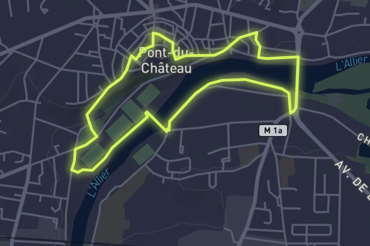
Easy · Trail
Le Chemin des Batteliers
4.0 km · ↑ 57 m · 1 h 8 min · 7 km away
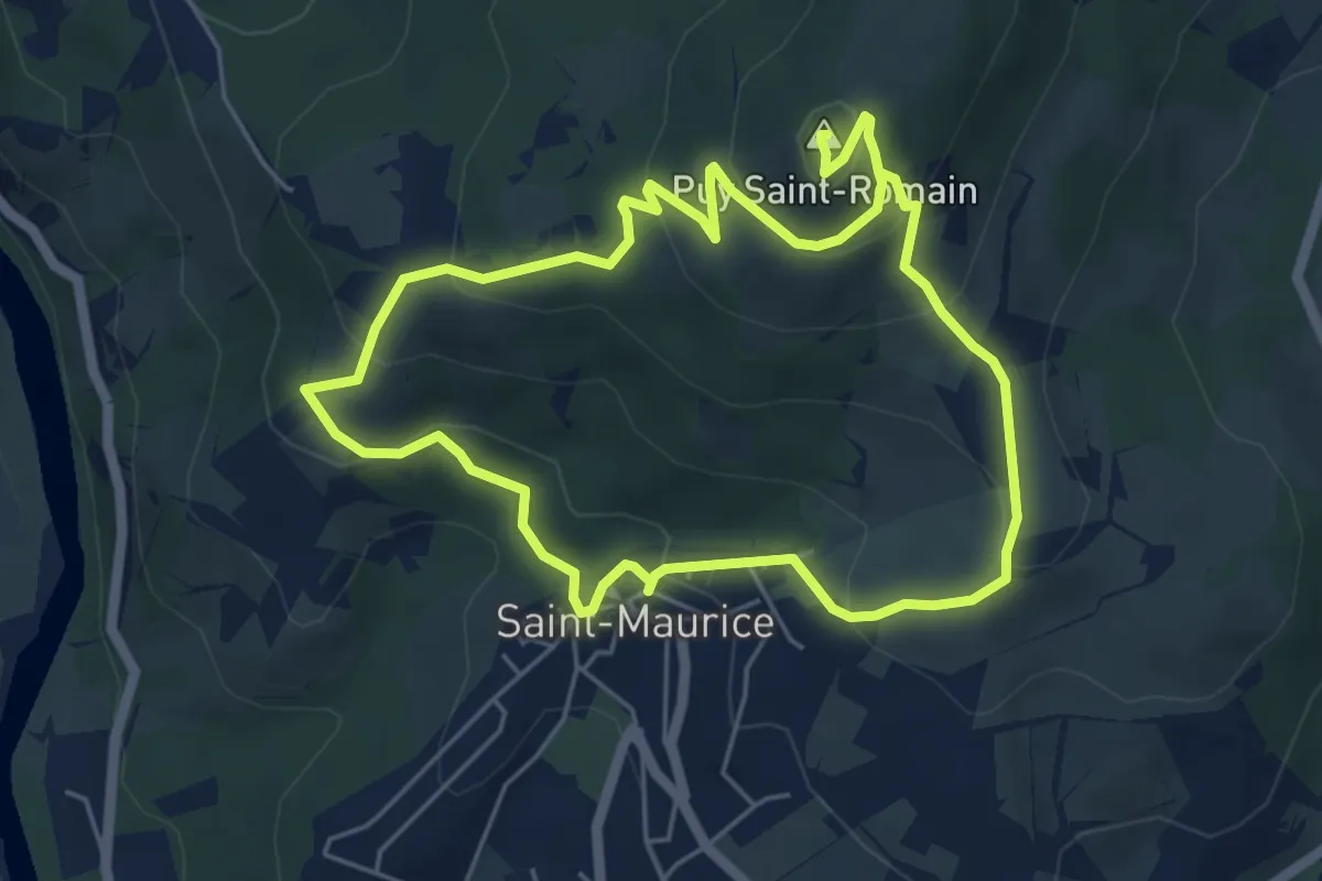
Easy · Summit
Le Puy-Saint-Romain
5.2 km · ↑ 275 m · 1 h 54 min · 8 km away
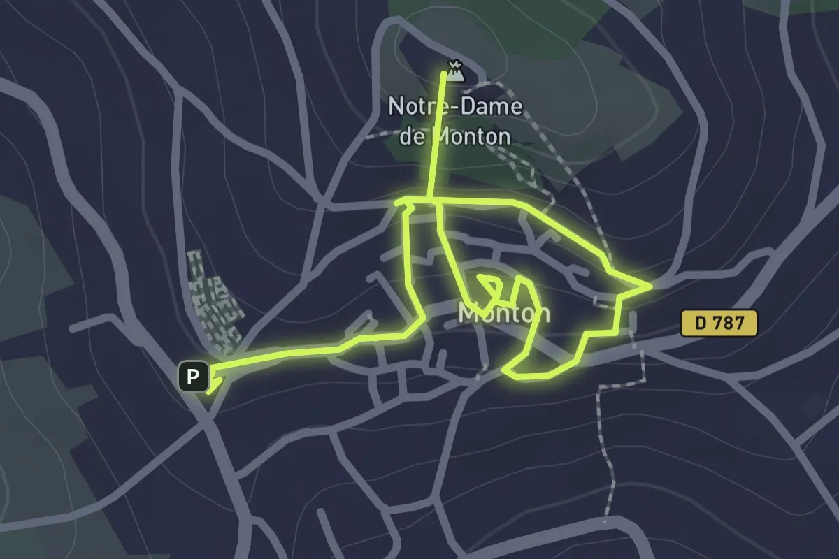
Easy · Summit
Parcours historique de Monton
3.4 km · ↑ 165 m · 1 h 10 min · 8 km away
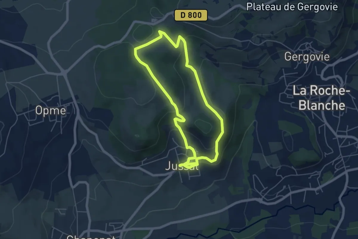
Easy · Trail
Le Puy de Jussat
4.8 km · ↑ 164 m · 1 h 33 min · 8 km away
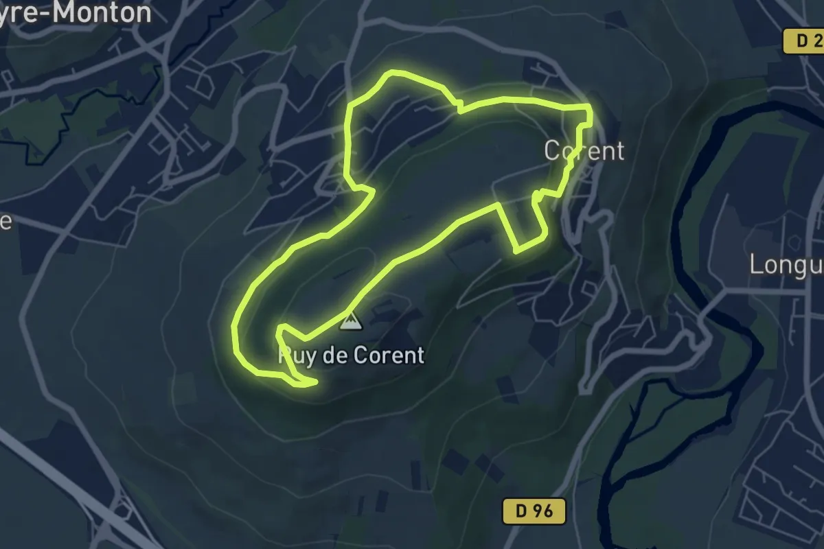
Easy · Summit
Le Puy de Corent
5.8 km · ↑ 203 m · 1 h 53 min · 8 km away
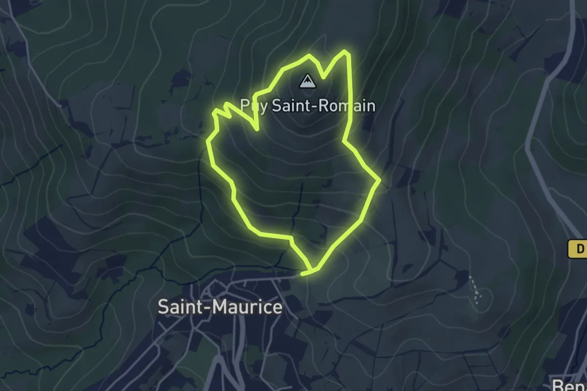
Easy · Summit
Entre Allier et Puy Saint-Romain
3.2 km · ↑ 207 m · 1 h 16 min · 8 km away
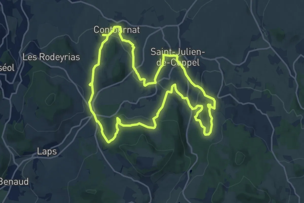
Medium · Trail
Notre-Dame de Roche
14.4 km · ↑ 416 m · 4 h 30 min · 8 km away
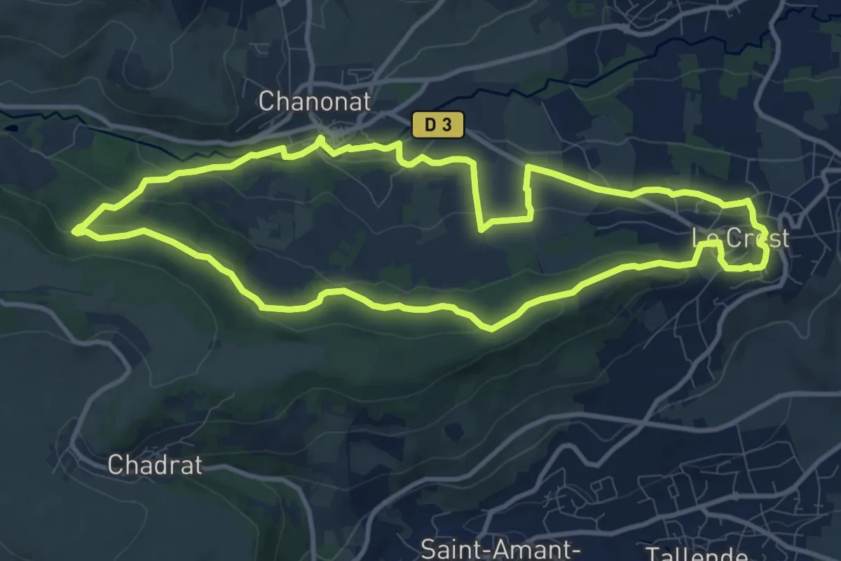
Medium · Trail
Le Crest
10.6 km · ↑ 292 m · 3 h 17 min · 9 km away
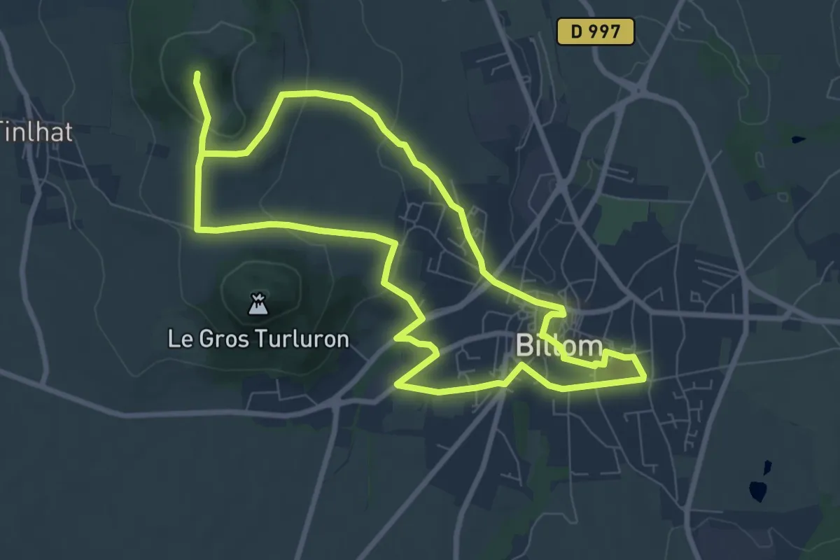
Easy · Summit
Le Turluron
7.8 km · ↑ 242 m · 2 h 27 min · 9 km away
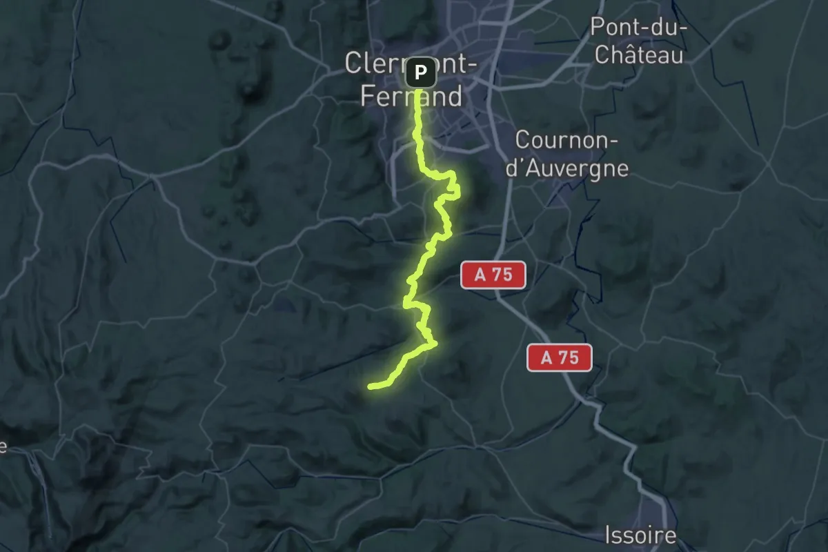
Demanding · Trail
Clermont-Ferrand - Olloix
31.3 km · ↑ 1148 m · 10 h 7 min · 9 km away
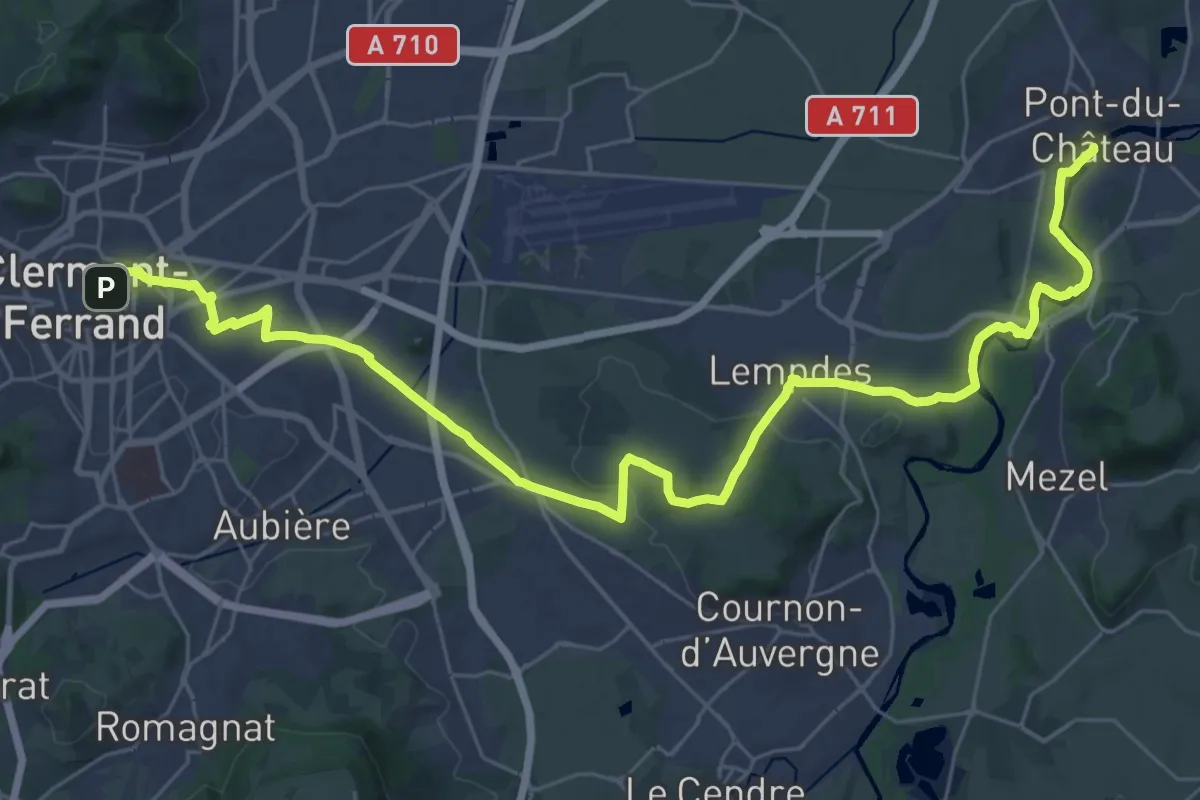
Demanding · Trail
Chemin de Montaigne de Pont-du-Château à Clermont-Ferrand
20.2 km · ↑ 206 m · 5 h 33 min · 10 km away
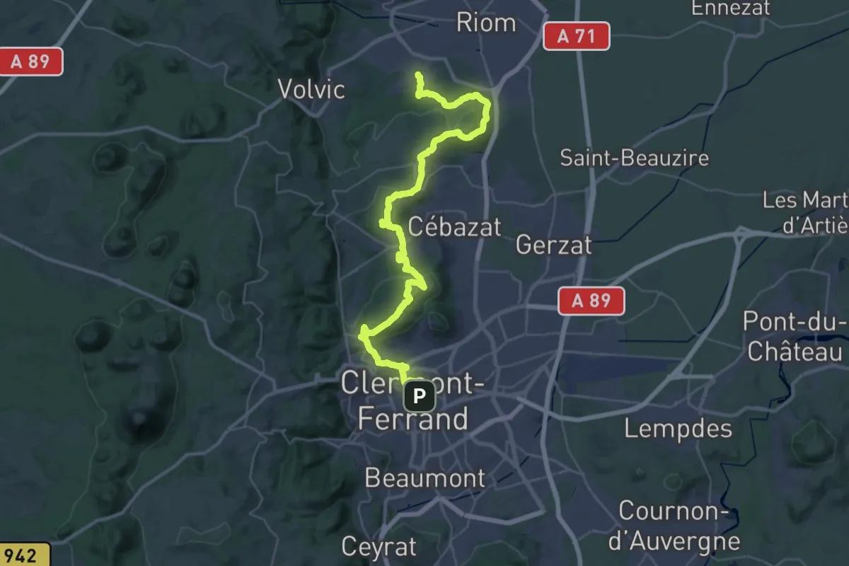
Demanding · Trail
Marsat – Clermont-Ferrand
21.8 km · ↑ 550 m · 6 h 39 min · 10 km away
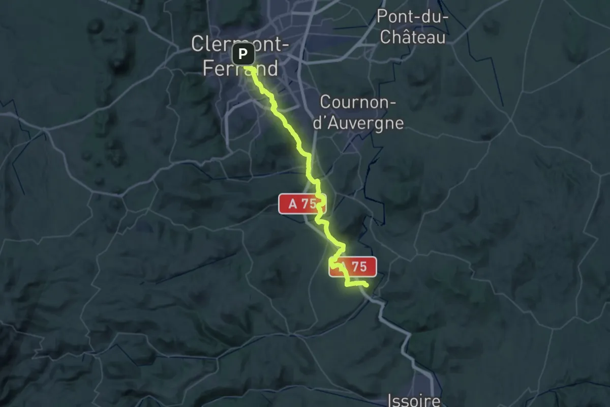
Demanding · Trail
Clermont-Ferrand – Montpeyroux
27.0 km · ↑ 520 m · 7 h 50 min · 10 km away
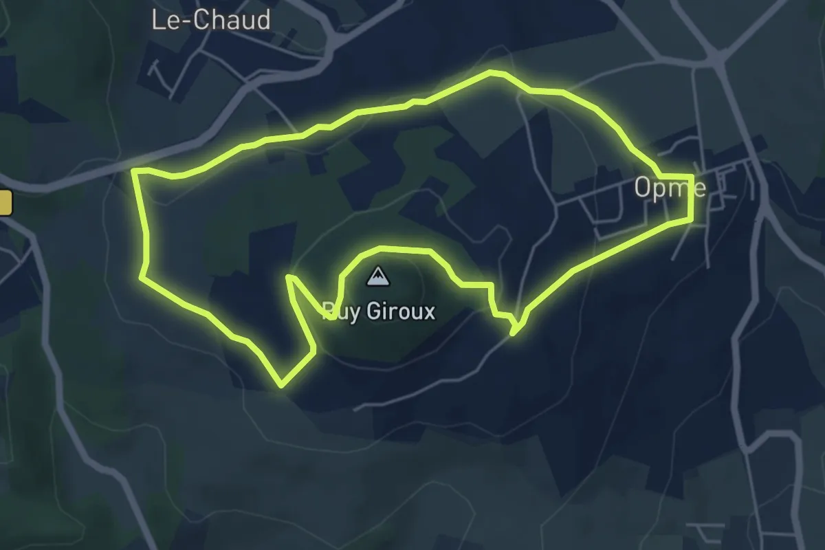
Easy · Summit
Le Puy Giroux
5.3 km · ↑ 139 m · 1 h 38 min · 10 km away
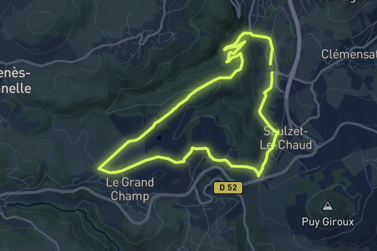
Medium · Trail
Redon
8.4 km · ↑ 274 m · 2 h 42 min · 10 km away
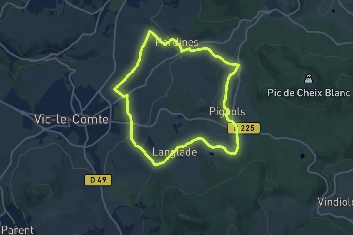
Medium · Trail
Le Bassin de Vic-le-Comte
9.4 km · ↑ 259 m · 2 h 55 min · 10 km away
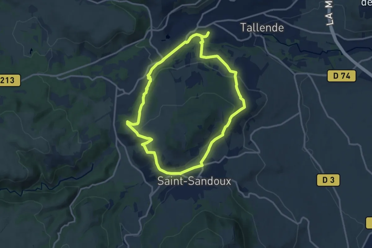
Medium · Trail
Le Puy de Peyronere
9.5 km · ↑ 279 m · 2 h 58 min · 10 km away
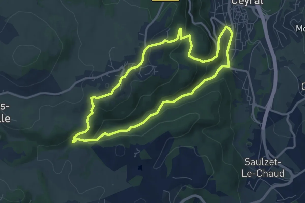
Easy · Trail
Les Gorges de l'Artiere
6.9 km · ↑ 264 m · 2 h 18 min · 11 km away
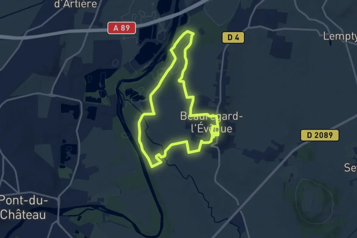
Medium · Trail
La Chapelle Saint-Aventin
8.8 km · ↑ 117 m · 2 h 28 min · 11 km away
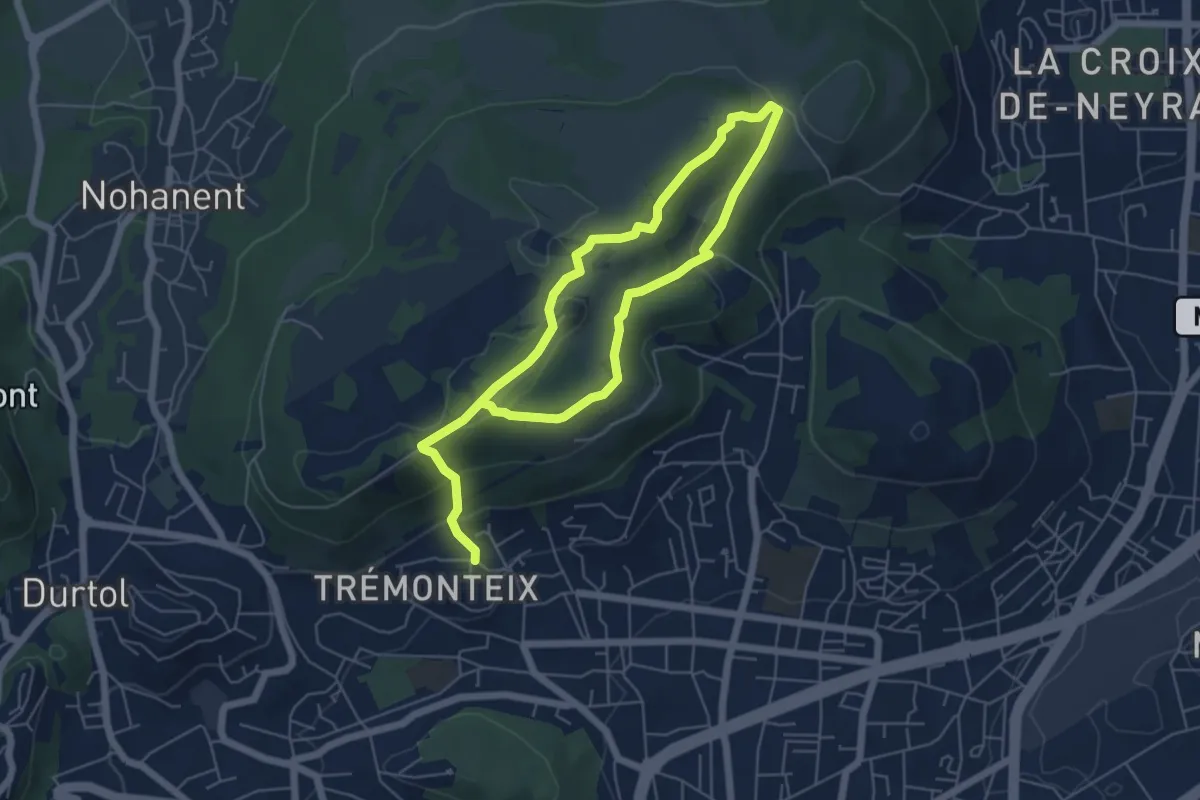
Easy · Summit
Les Côtes de Clermont
4.6 km · ↑ 194 m · 1 h 30 min · 12 km away
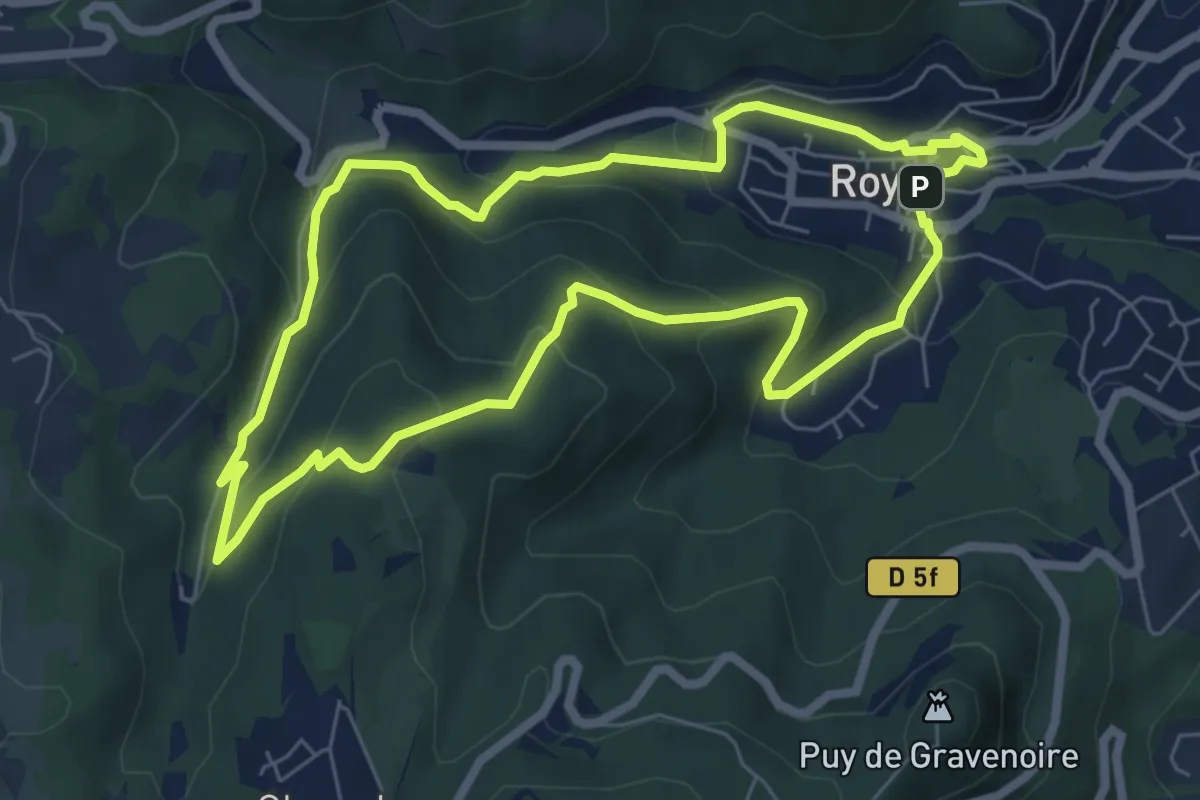
Easy · Trail
Le chemin des écoliers
6.6 km · ↑ 311 m · 2 h 20 min · 12 km away
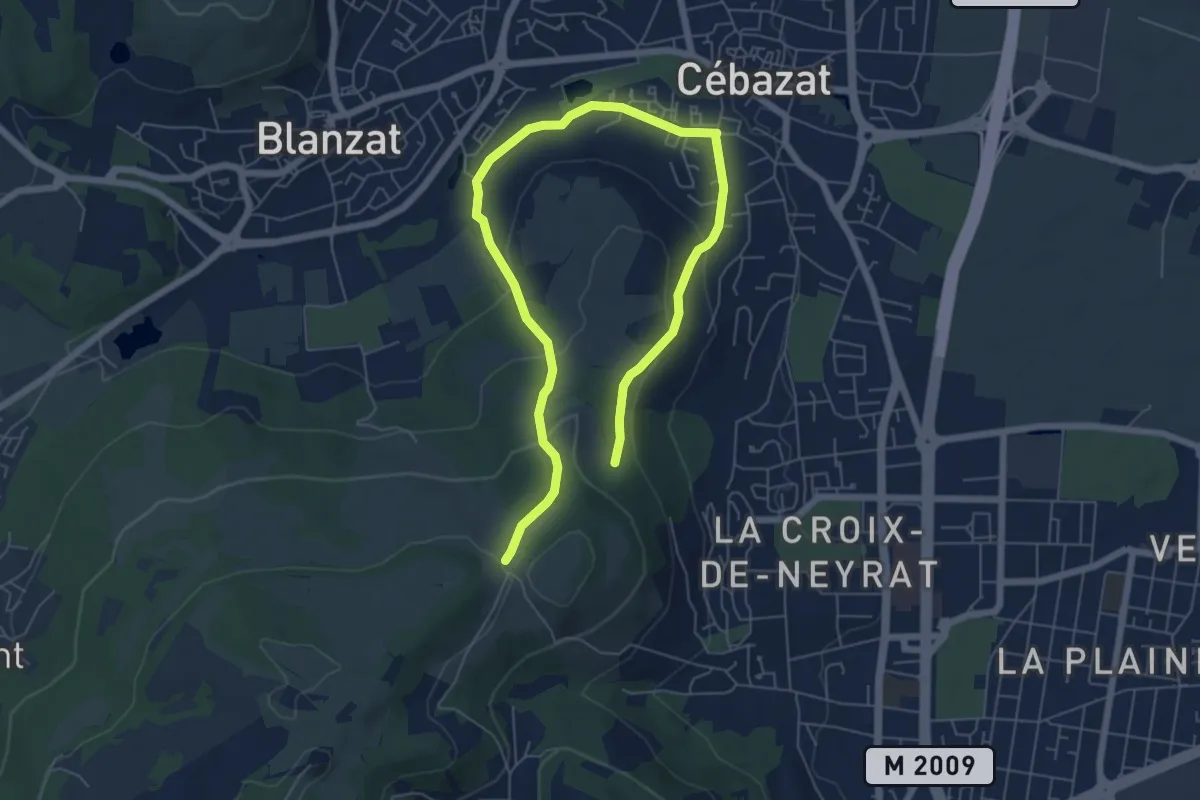
Medium · Trail
Le Site des Côtes
8.9 km · ↑ 311 m · 2 h 47 min · 12 km away
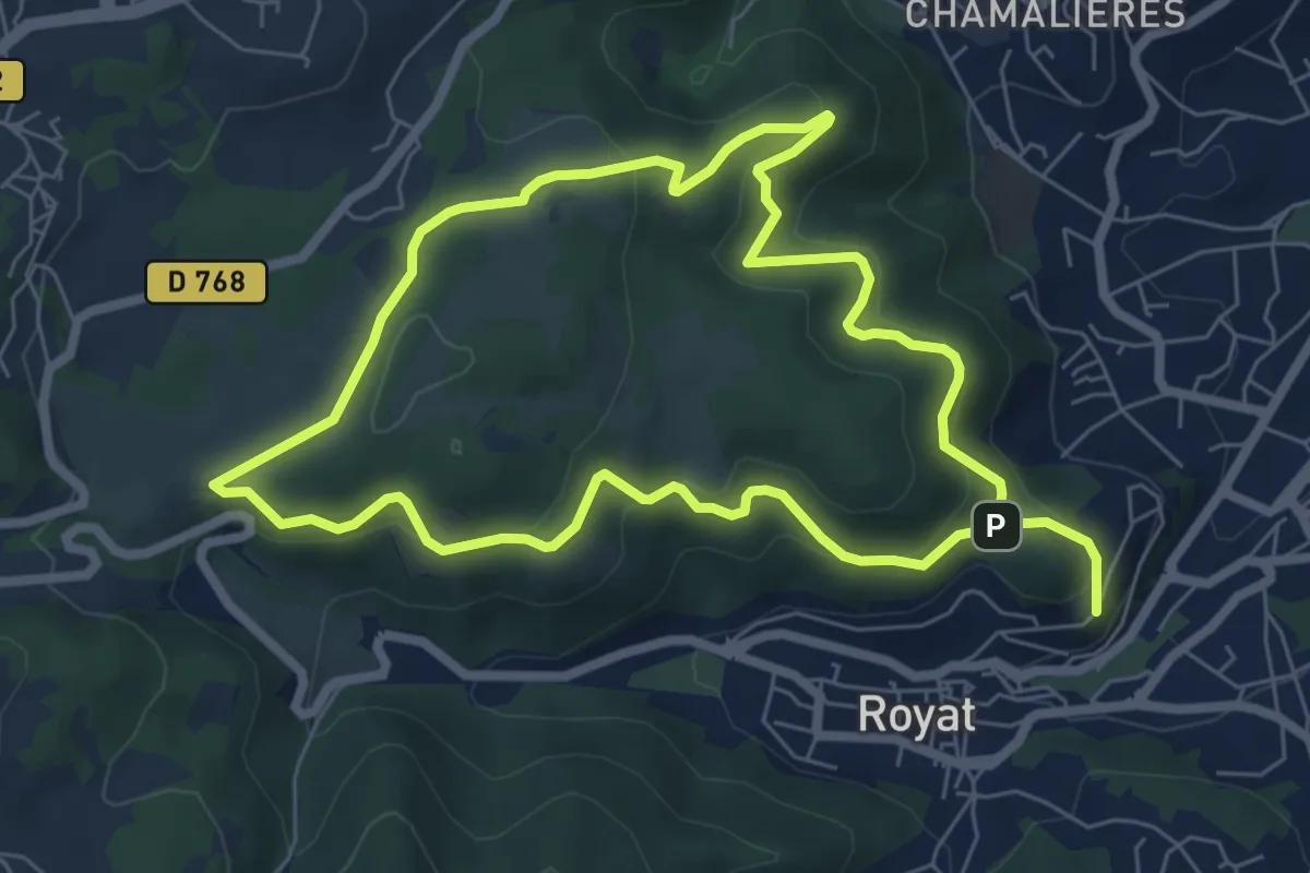
Easy · Summit
Le Paradis
6.6 km · ↑ 218 m · 2 h 9 min · 12 km away
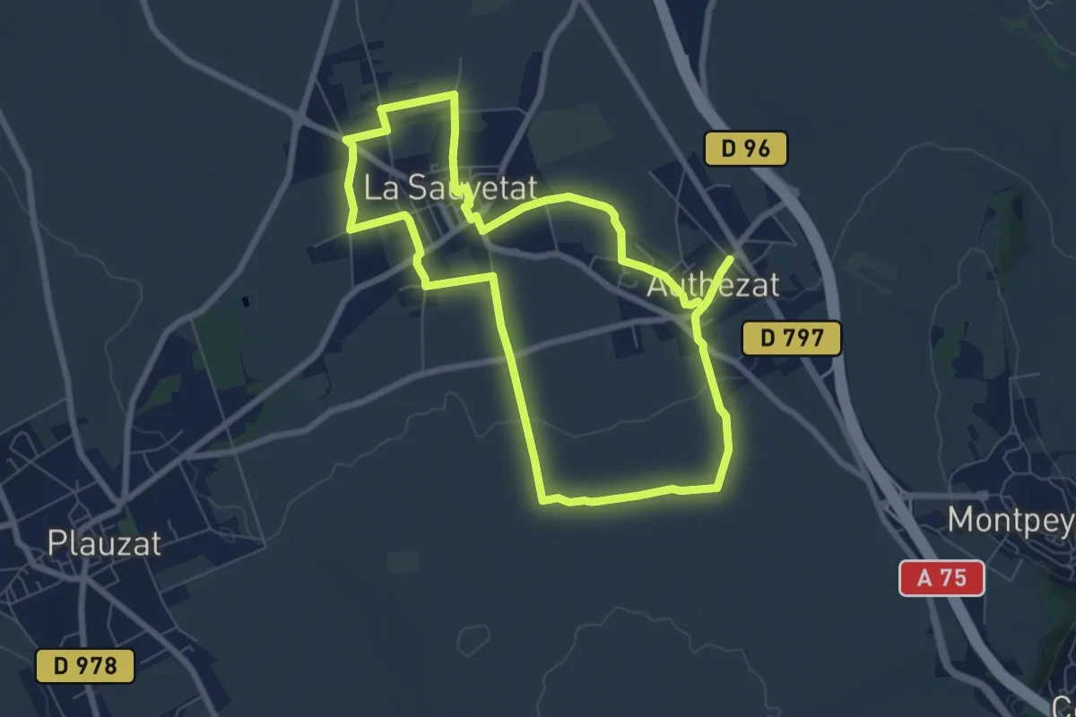
Easy · Trail
Les Forts de la Sauvetat
7.1 km · ↑ 71 m · 1 h 55 min · 12 km away
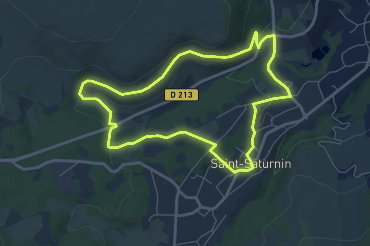
Easy · Trail
Les Cirques de longevette et des Cotes
5.3 km · ↑ 107 m · 1 h 34 min · 12 km away
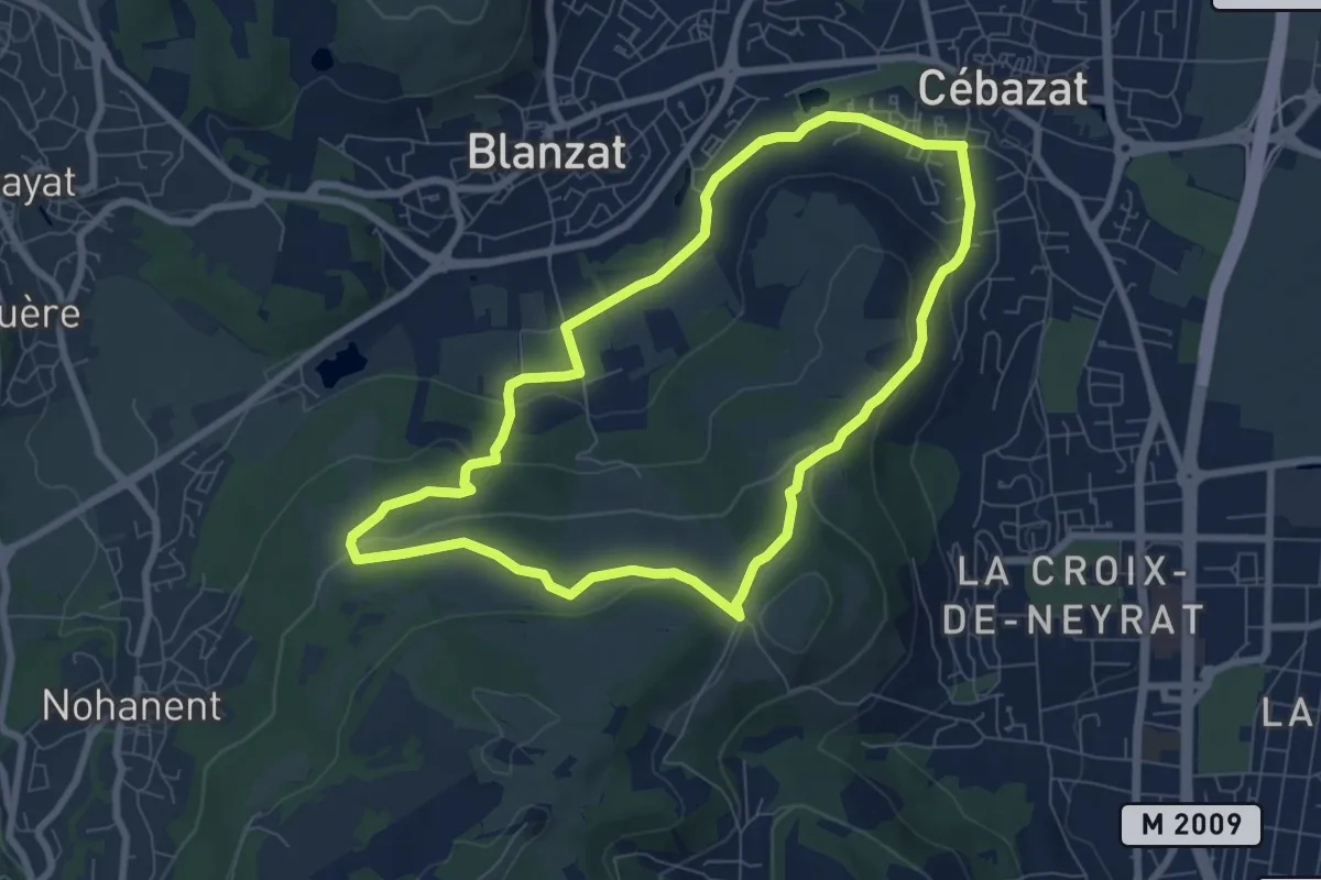
Easy · Trail
Le Col du Chevalard
7.4 km · ↑ 199 m · 2 h 17 min · 12 km away
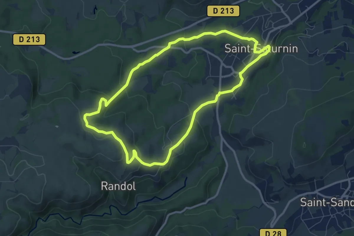
Easy · Trail
Randol
7.8 km · ↑ 194 m · 2 h 22 min · 12 km away
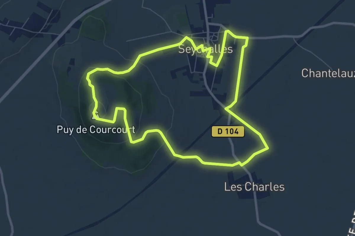
Easy · Summit
La Tour de Courcourt
7.7 km · ↑ 132 m · 2 h 12 min · 12 km away
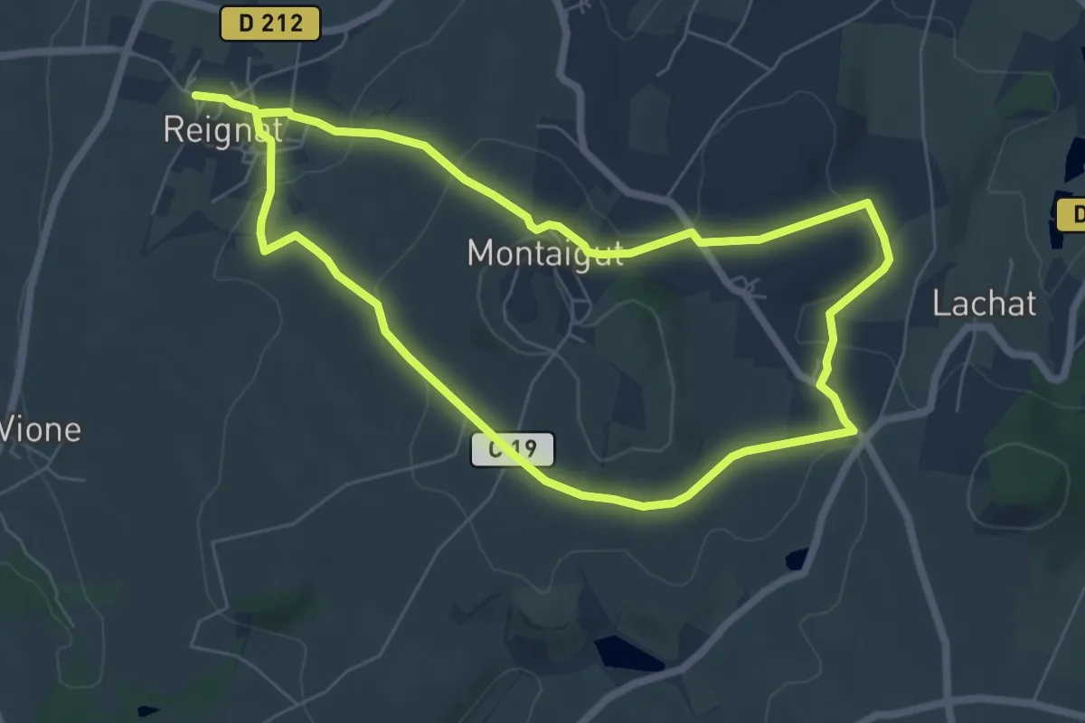
Easy · Trail
La Butte de Montaigut
6.4 km · ↑ 156 m · 1 h 57 min · 13 km away