Trails near Cugnaux
22 hikes starting within 15 km, nearest first.
Nearest first
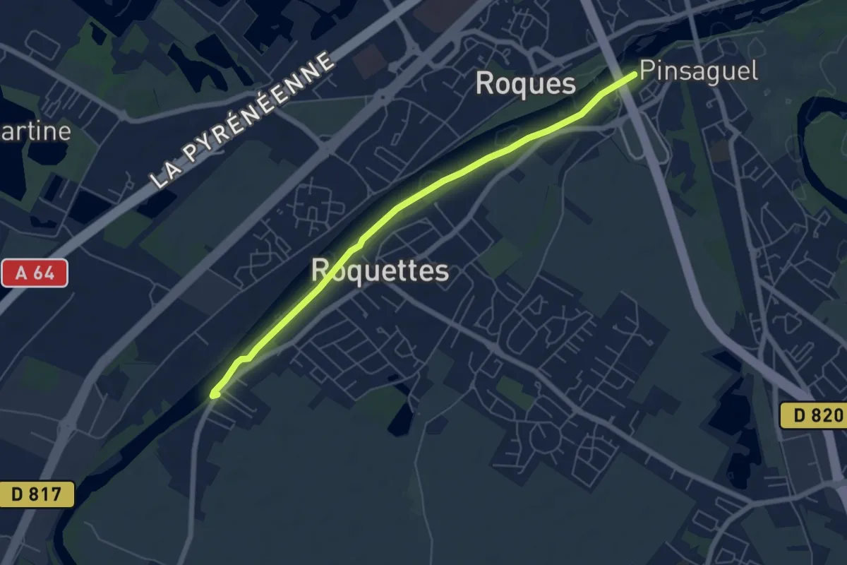
Easy · Trail
Roquette-Saubens alternative
6.4 km · ↑ 8 m · 1 h 31 min · 4 km away
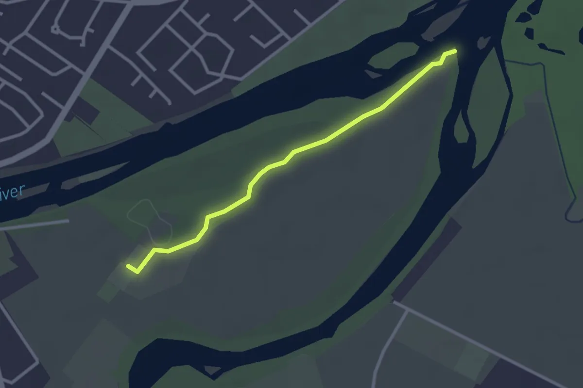
Easy · Trail
Sentier de la Confluence
2.7 km · ↑ 9 m · 39 min · 5 km away
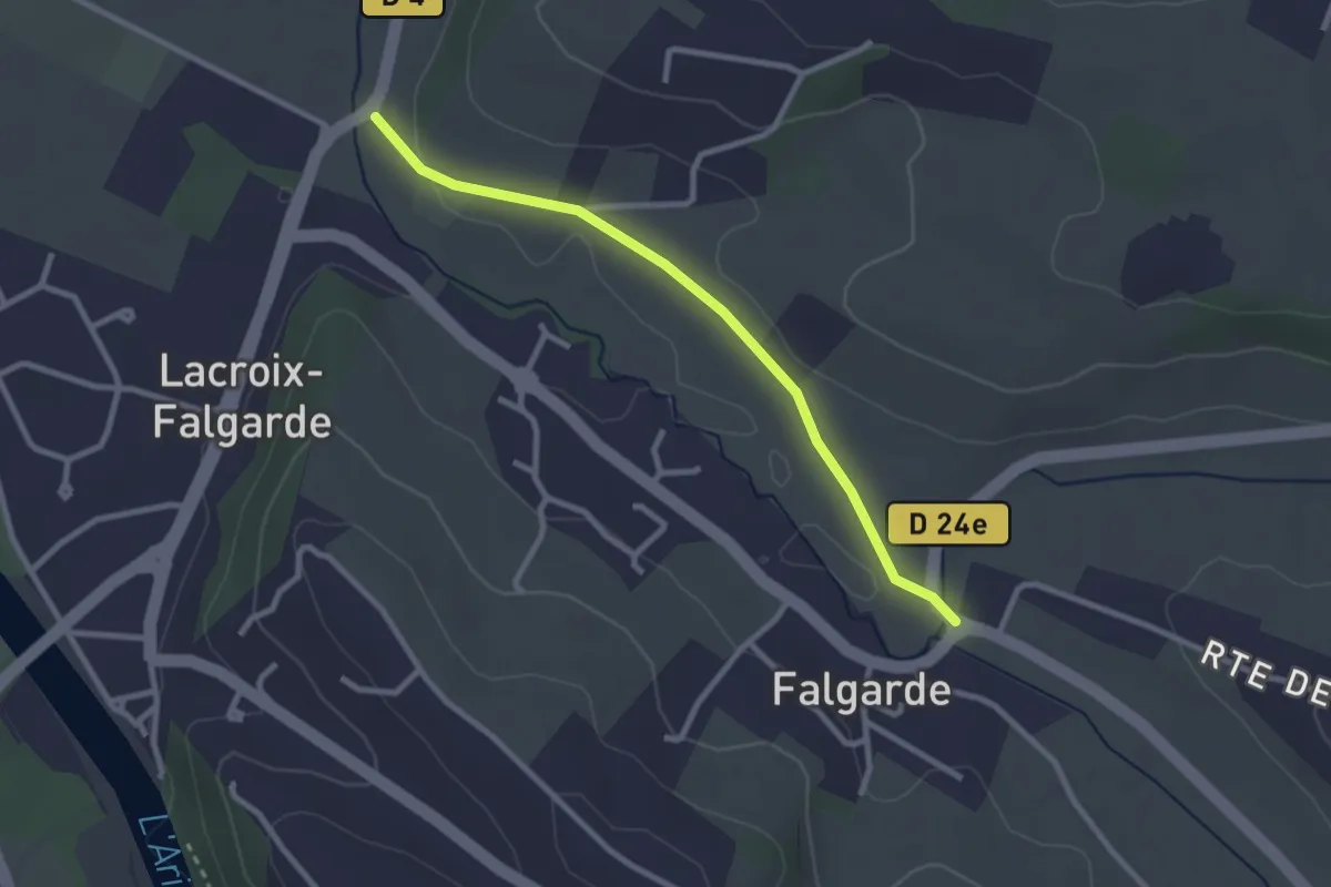
Easy · Trail
Sainte-Christine – Aymard
2.8 km · ↑ 23 m · 42 min · 6 km away
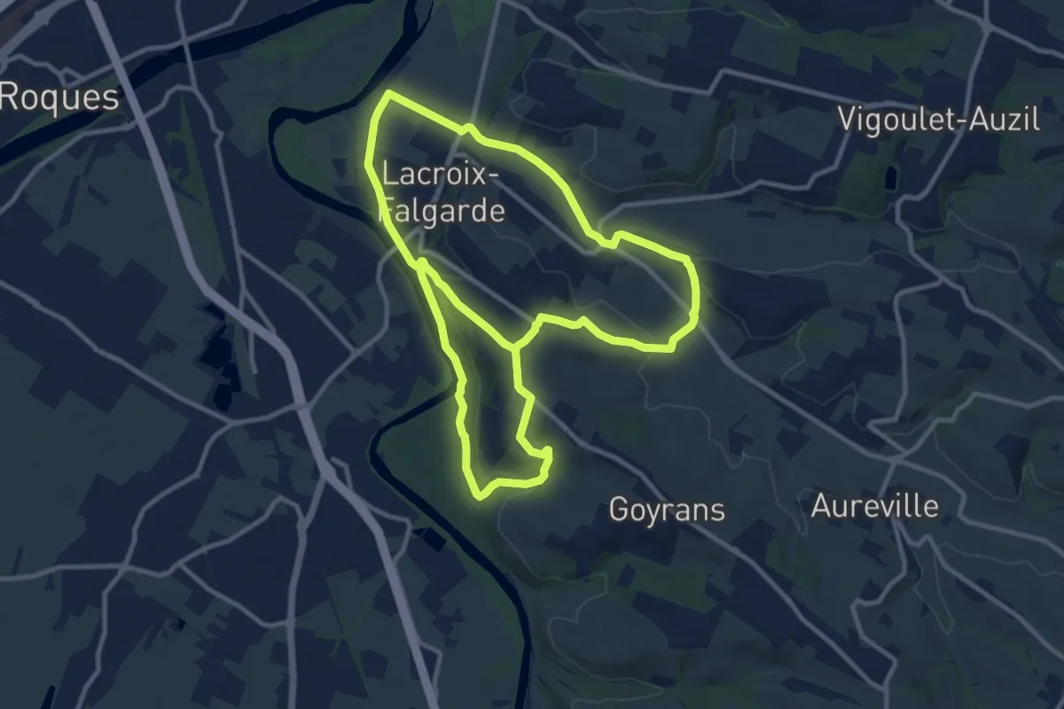
Demanding · Trail
Boucle de la Gleysette
22.1 km · ↑ 437 m · 6 h 9 min · 7 km away
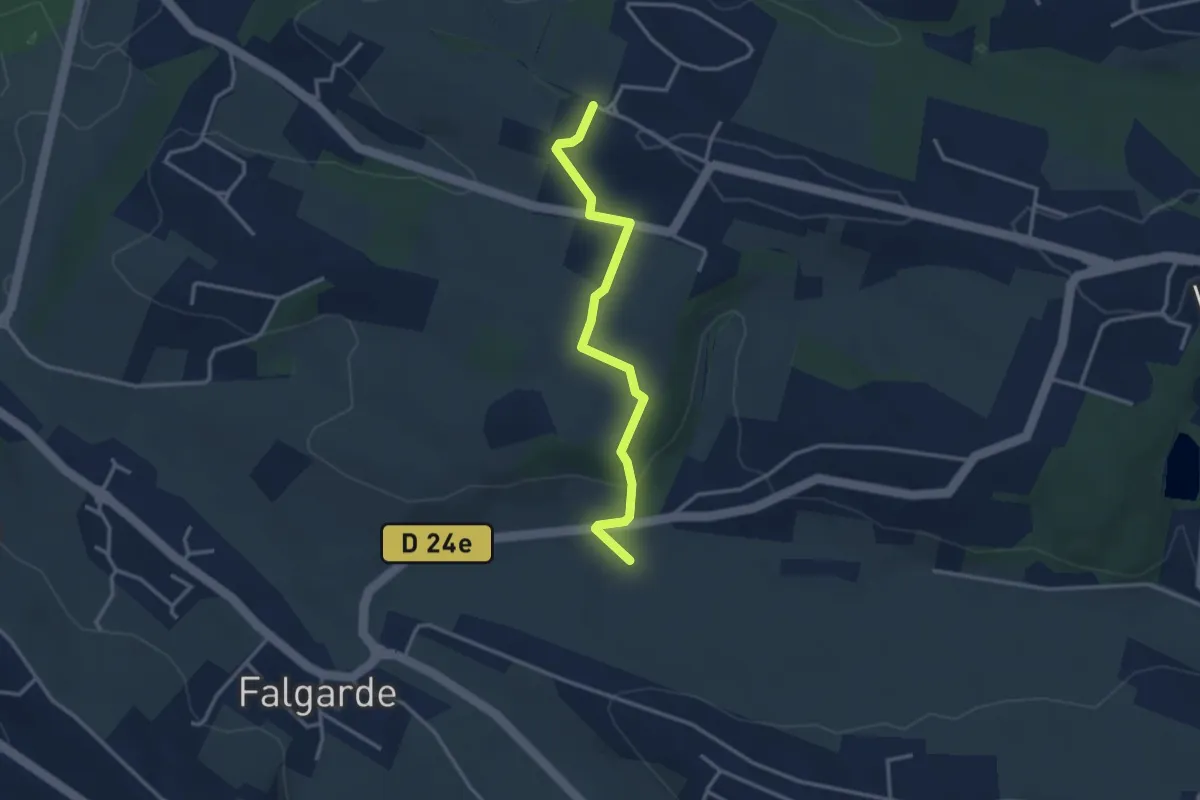
Easy · Trail
Le Réganel – Auzil
3.3 km · ↑ 91 m · 59 min · 8 km away
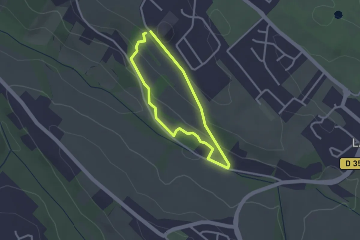
Easy · Trail
Boucle des Abeilles
2.0 km · ↑ 67 m · 39 min · 9 km away
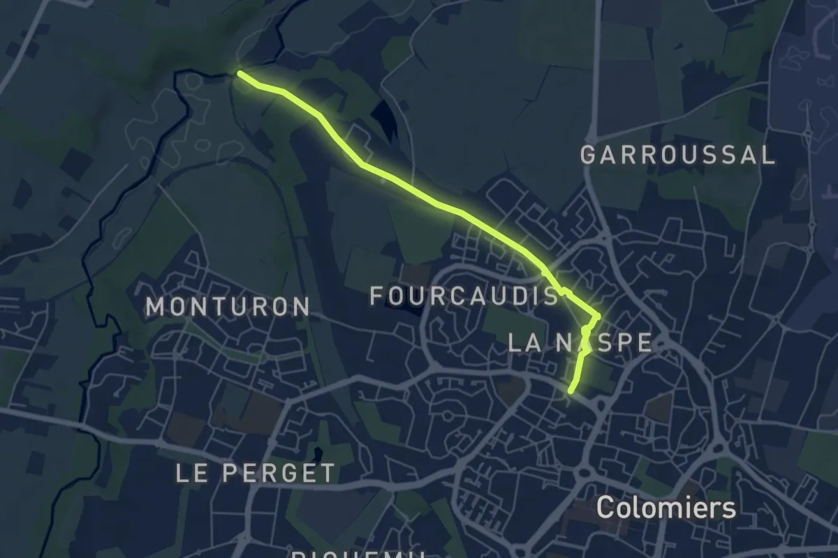
Easy · Trail
Accès depuis Colomiers
6.0 km · ↑ 30 m · 1 h 29 min · 9 km away
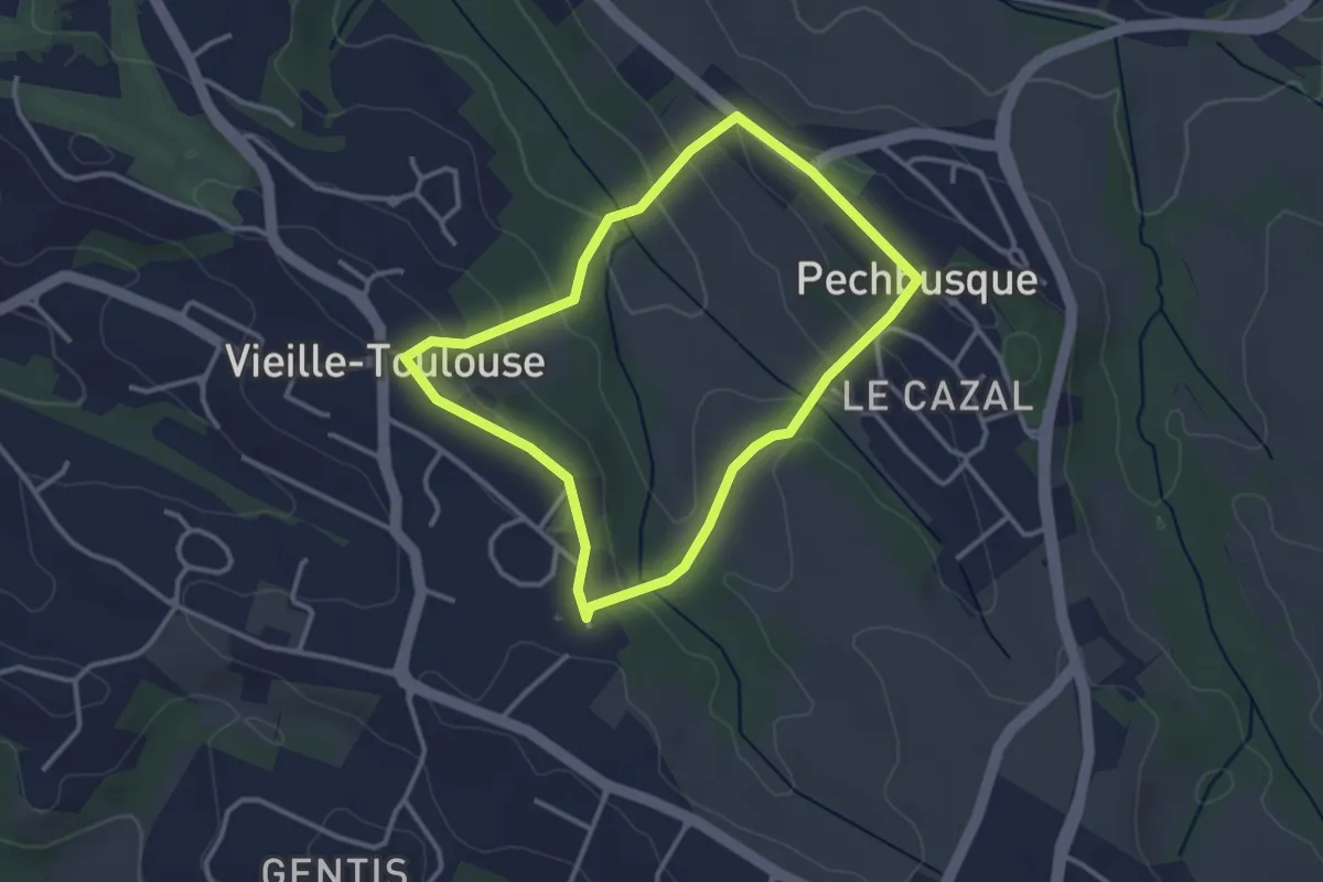
Easy · Trail
Boucle de Bécane
3.1 km · ↑ 102 m · 1 h · 9 km away
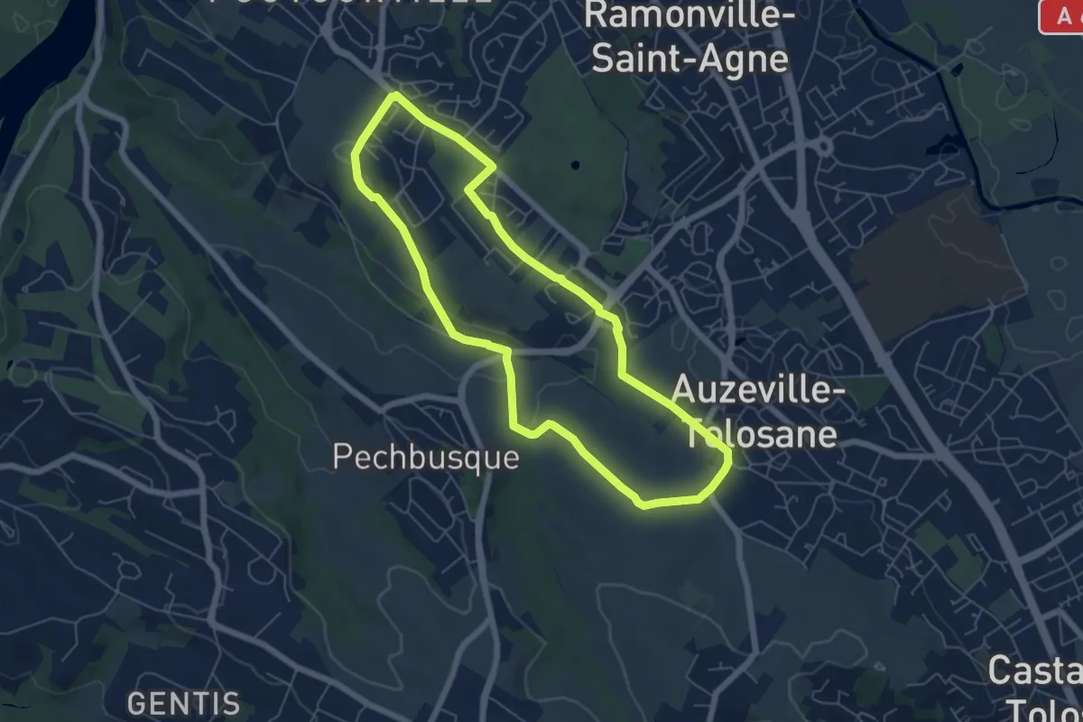
Easy · Trail
Boucle de la Comtesse
6.1 km · ↑ 96 m · 1 h 44 min · 10 km away
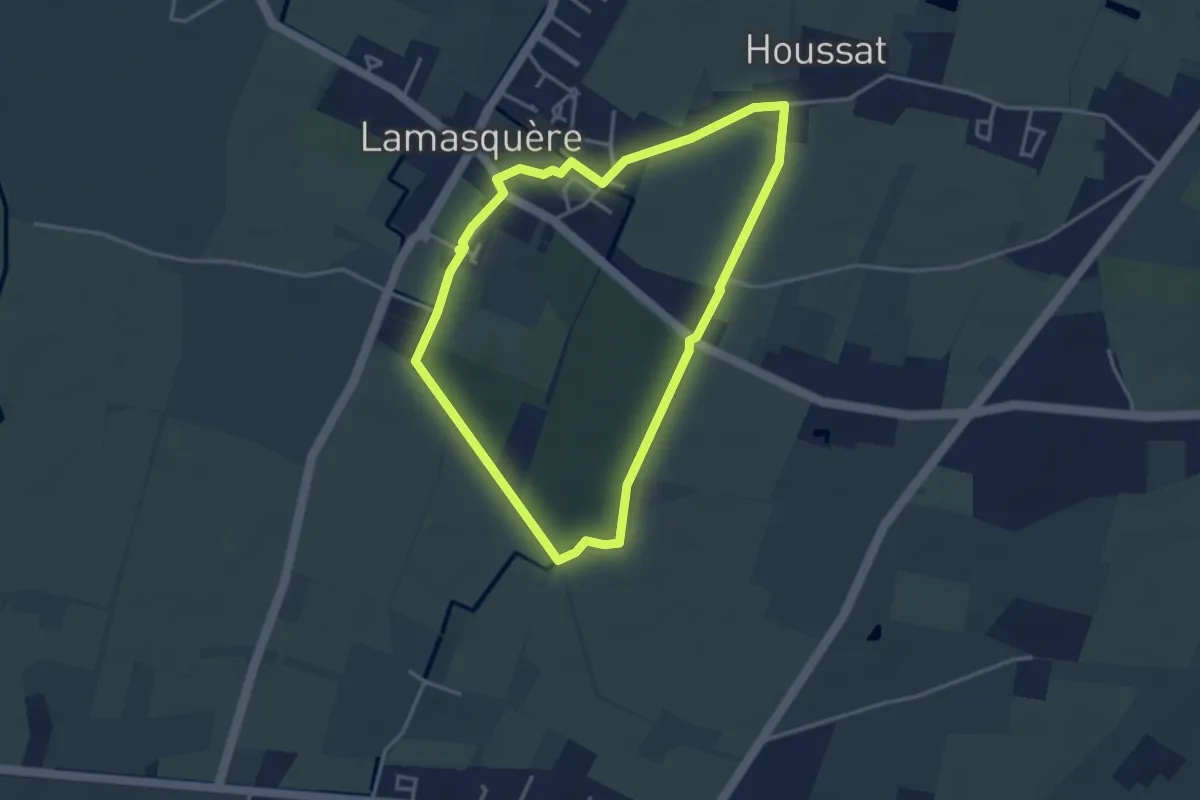
Easy · Trail
Lamasquère : Balade de l'Houssat
3.7 km · ↑ 4 m · 56 min · 10 km away
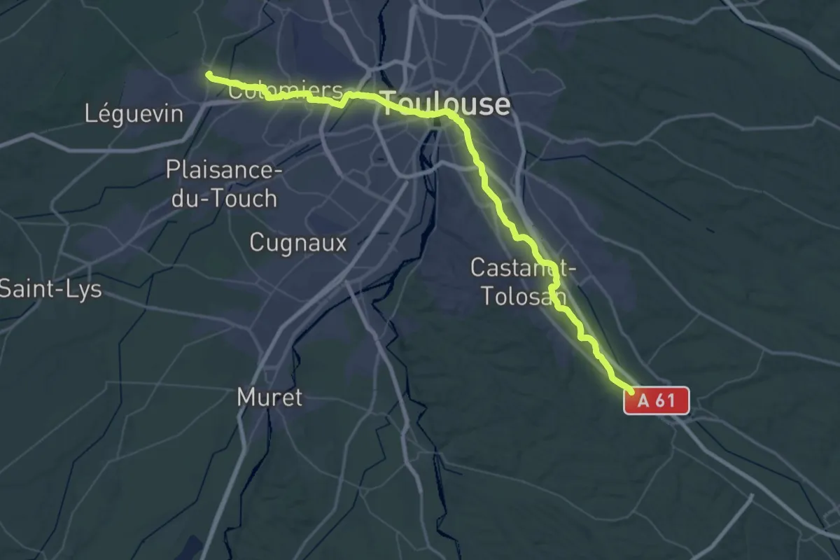
Demanding · Trail
Montgiscard – Pibrac
36.0 km · ↑ 118 m · 9 h 17 min · 10 km away
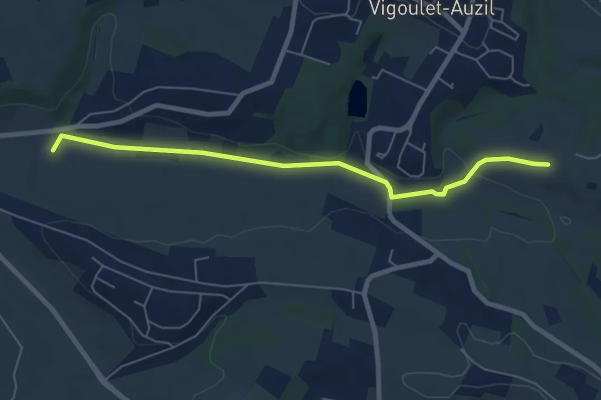
Easy · Trail
Le Réganel – Campagne
5.2 km · ↑ 57 m · 1 h 22 min · 10 km away
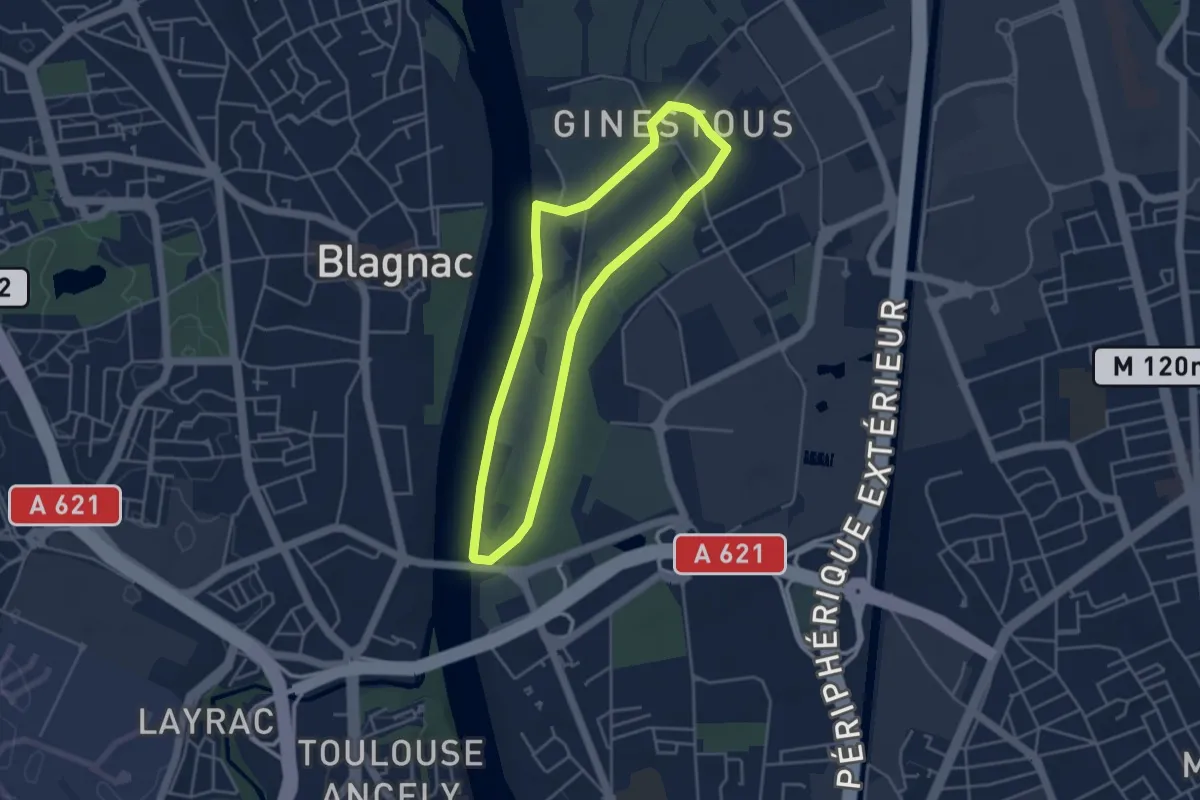
Easy · Trail
Boucle Garonne Jardins - courte
4.0 km · ↑ 14 m · 1 h 2 min · 11 km away
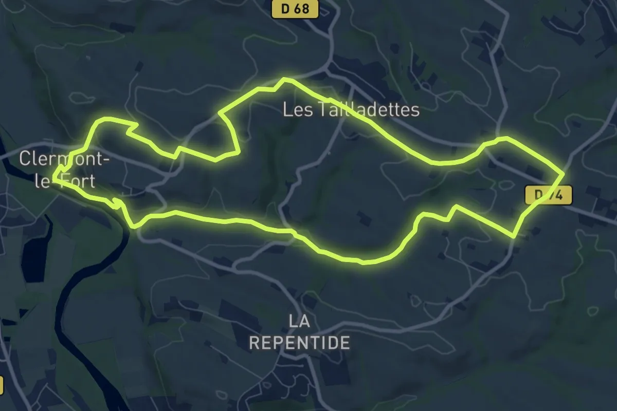
Medium · Trail
Boucle de Notre-Dame des Bois
10.7 km · ↑ 237 m · 3 h 12 min · 11 km away
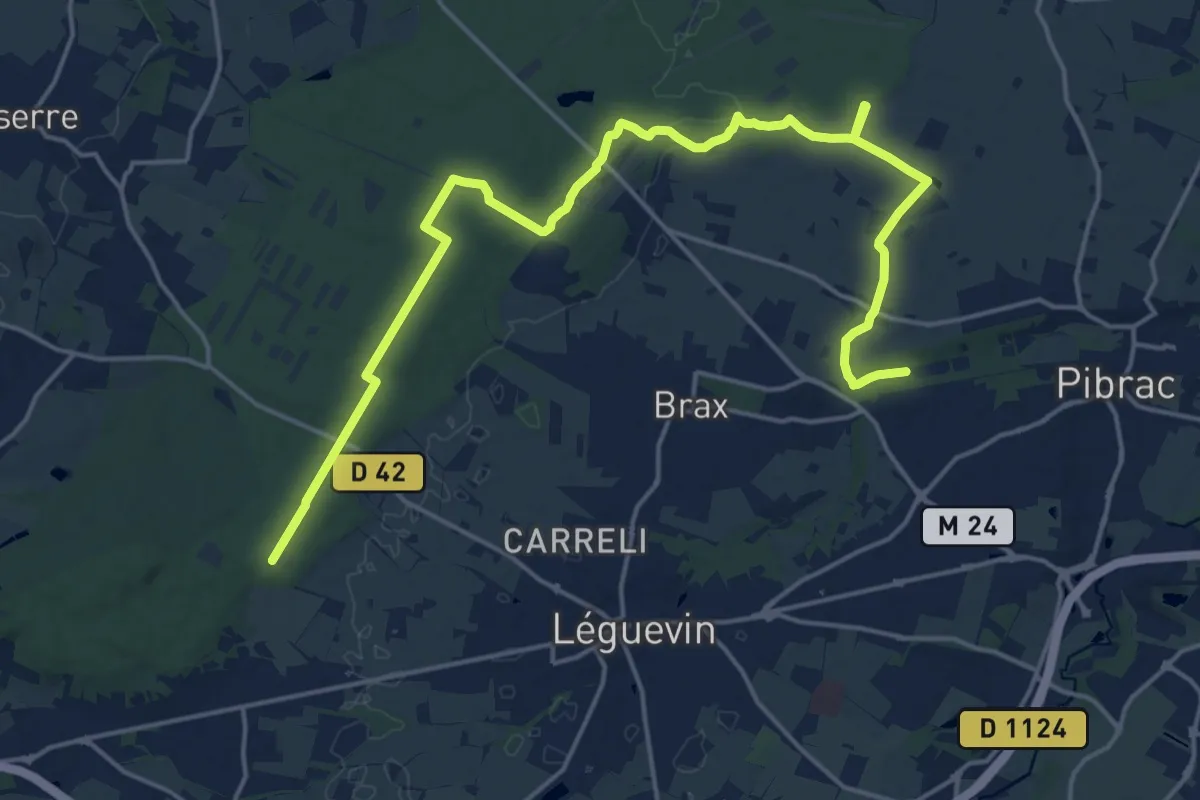
Demanding · Trail
Variante entre Pibrac et Bouconne
24.3 km · ↑ 153 m · 6 h 4 min · 11 km away
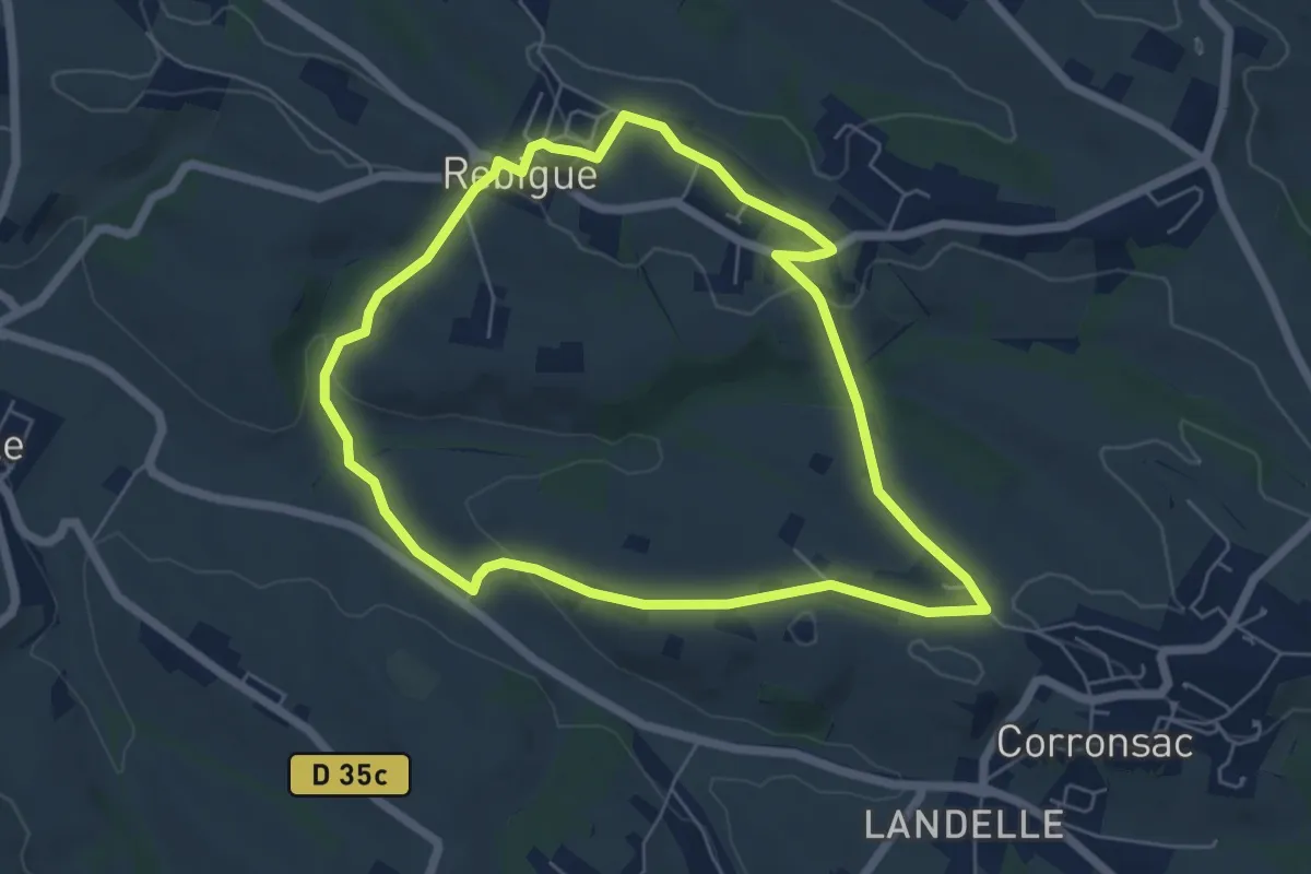
Easy · Trail
Boucle de la Fount Grando
6.1 km · ↑ 107 m · 1 h 45 min · 12 km away
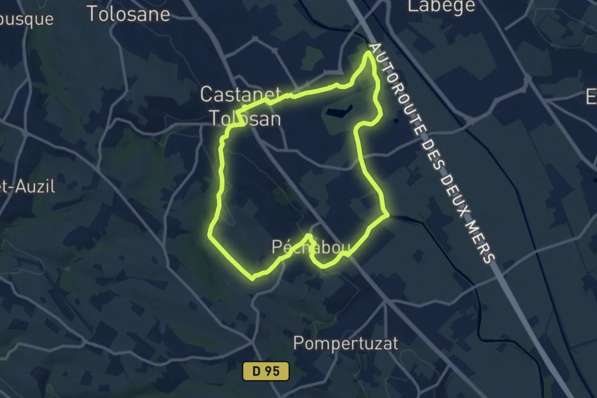
Medium · Trail
Boucle de Savignol
10.1 km · ↑ 129 m · 2 h 48 min · 12 km away
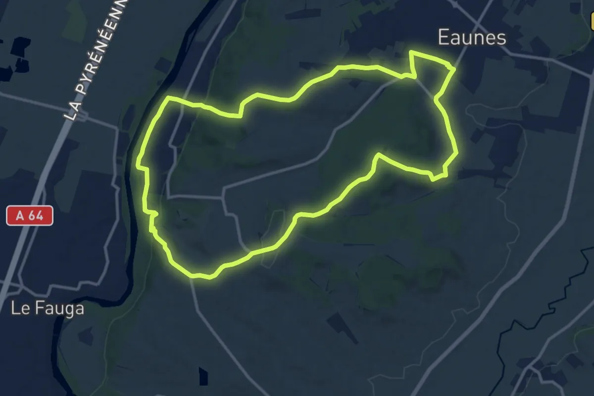
Medium · Trail
Coteaux et bois d'Eaunes
11.9 km · ↑ 224 m · 3 h 28 min · 13 km away
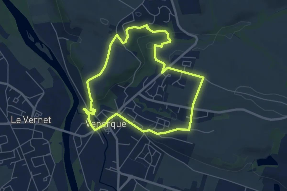
Easy · Trail
Passerelles, entre rives et balcons
5.1 km · ↑ 109 m · 1 h 31 min · 14 km away
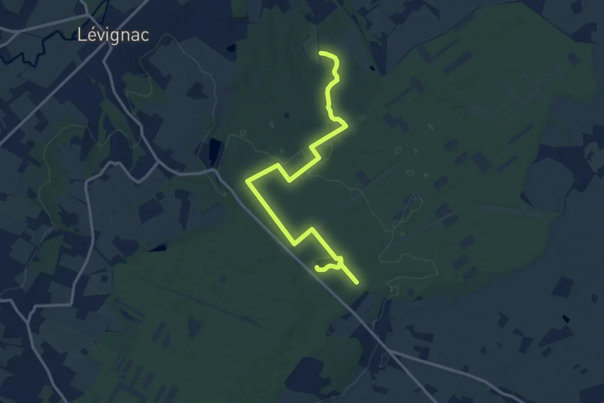
Medium · Trail
Sentier de la Tour
12.4 km · ↑ 48 m · 3 h 1 min · 14 km away
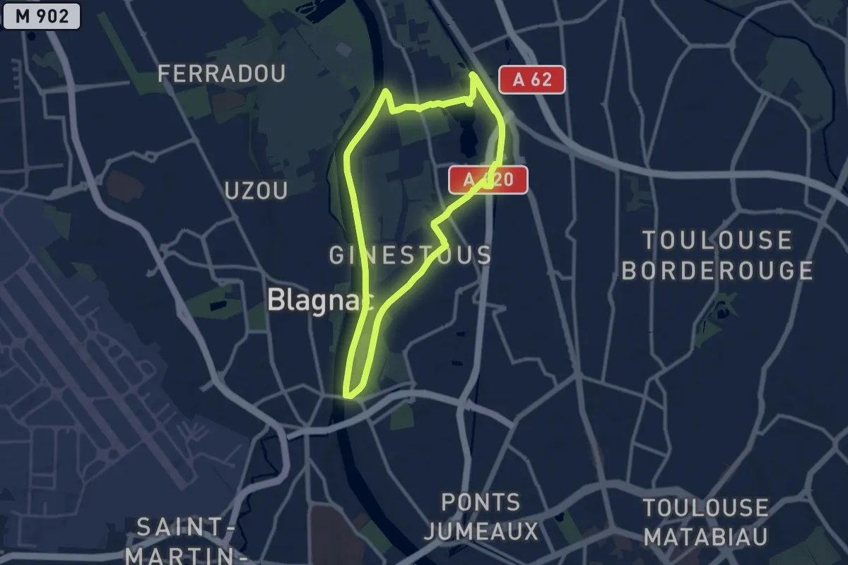
Demanding · Trail
Grande Boucle
20.1 km · ↑ 36 m · 4 h 49 min · 15 km away
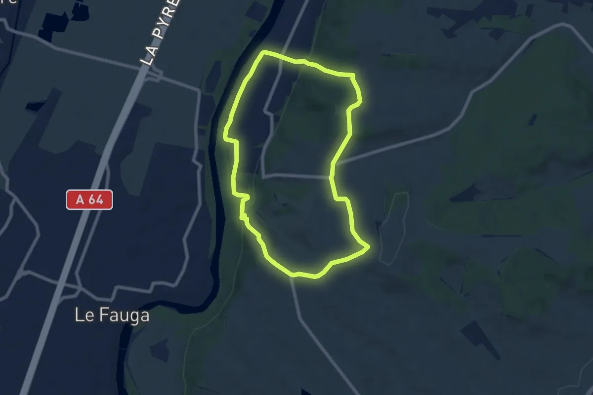
Easy · Trail
Saint-Amans : Garonne et Panorama
6.2 km · ↑ 146 m · 1 h 53 min · 15 km away