Trails near Decazeville
42 hikes starting within 15 km, nearest first.
Nearest first
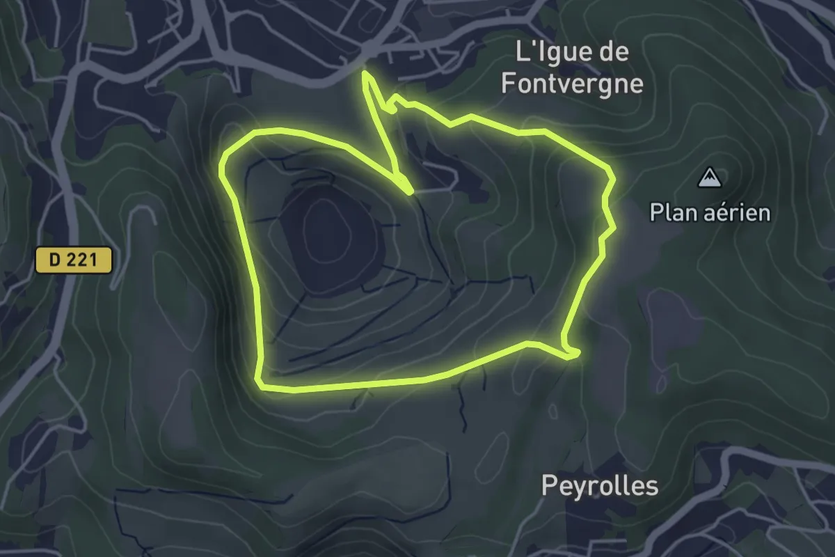
Easy · Trail
Le panoramique
4.2 km · ↑ 167 m · 1 h 25 min · 1 km away
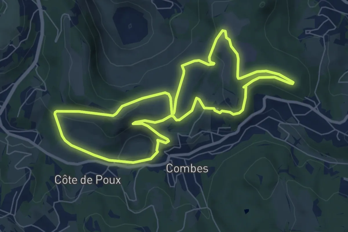
Easy · Trail
Les crêtes de Combes
6.9 km · ↑ 175 m · 2 h 6 min · 2 km away
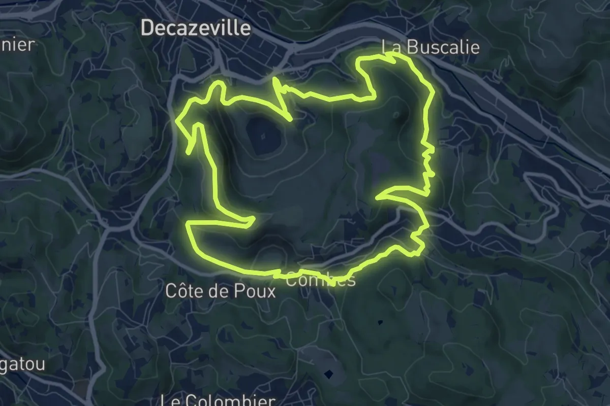
Medium · Trail
Entre plateau et découverte
11.6 km · ↑ 368 m · 3 h 41 min · 2 km away
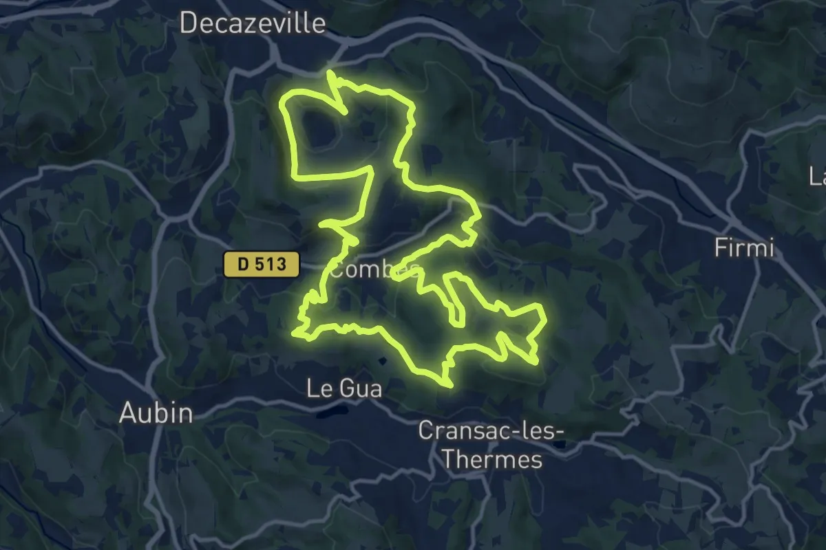
Medium · Trail
Les découvertes
15.4 km · ↑ 511 m · 4 h 58 min · 3 km away
Medium · Trail
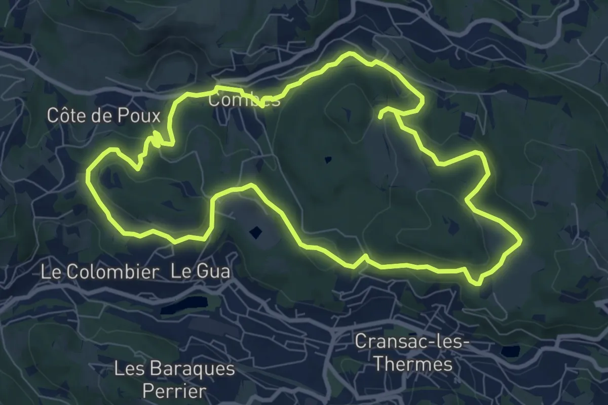
Entre Deux Vallées
8.5 km · ↑ 222 m · 2 h 37 min · 3 km away
Easy · Trail
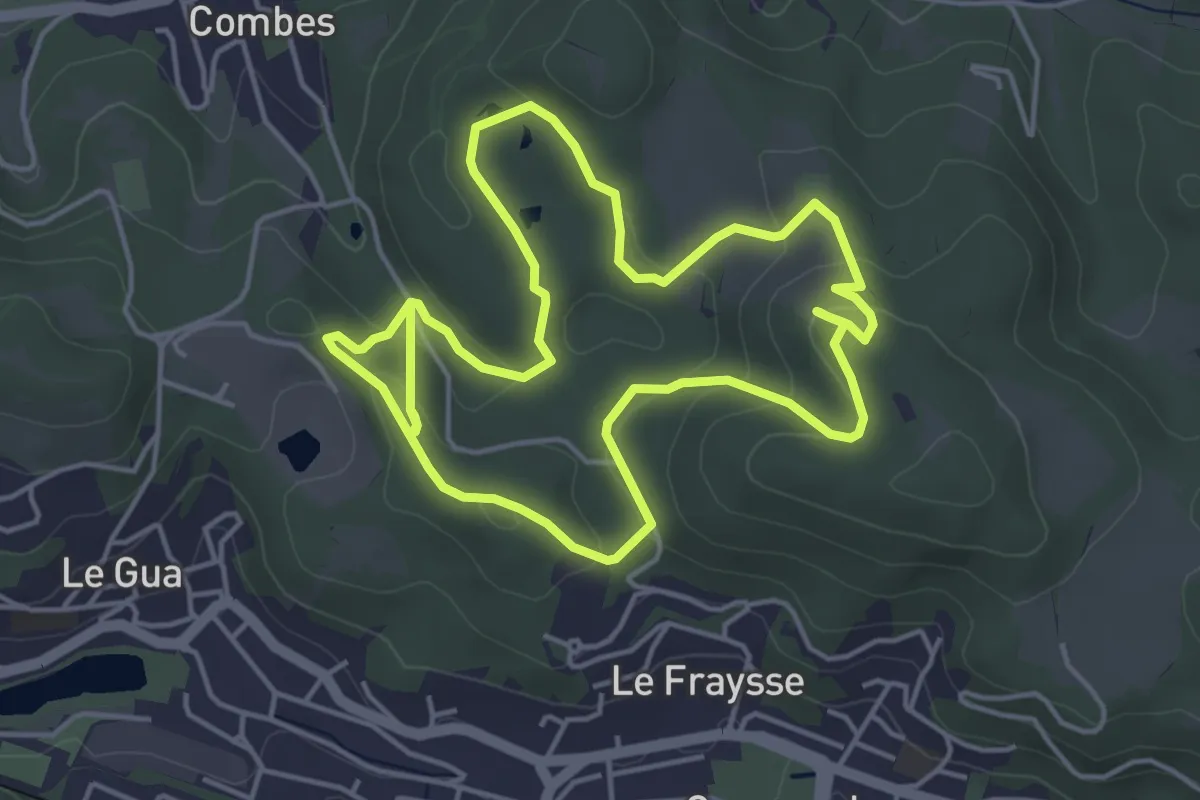
Circuit Land Art
4.7 km · ↑ 140 m · 1 h 29 min · 3 km away
Medium · Trail
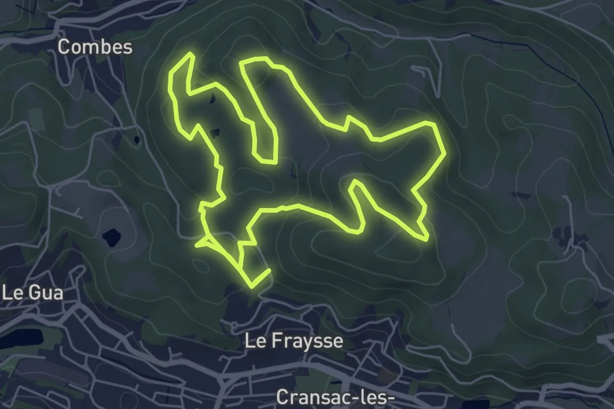
Les surprises de la Vaysse
12.7 km · ↑ 306 m · 3 h 40 min · 3 km away
Medium · Trail
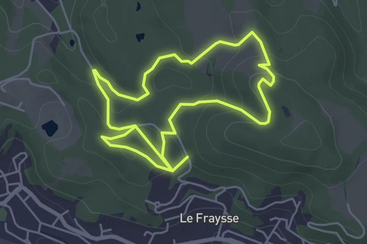
Petit tour de la vaysse
8.1 km · ↑ 222 m · 2 h 24 min · 3 km away
Demanding · Trail
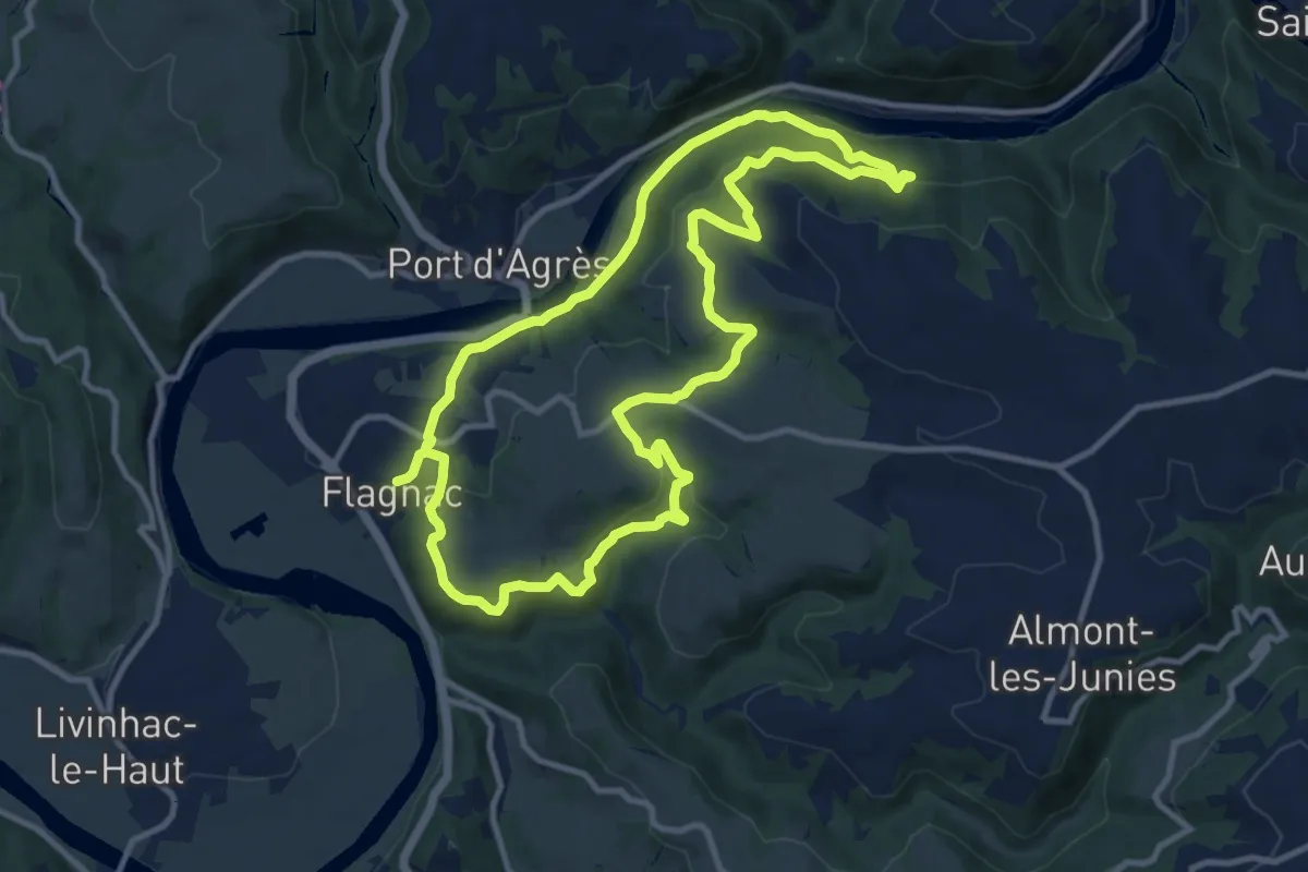
Hier, un village
22.3 km · ↑ 812 m · 7 h 2 min · 5 km away
Easy · Trail
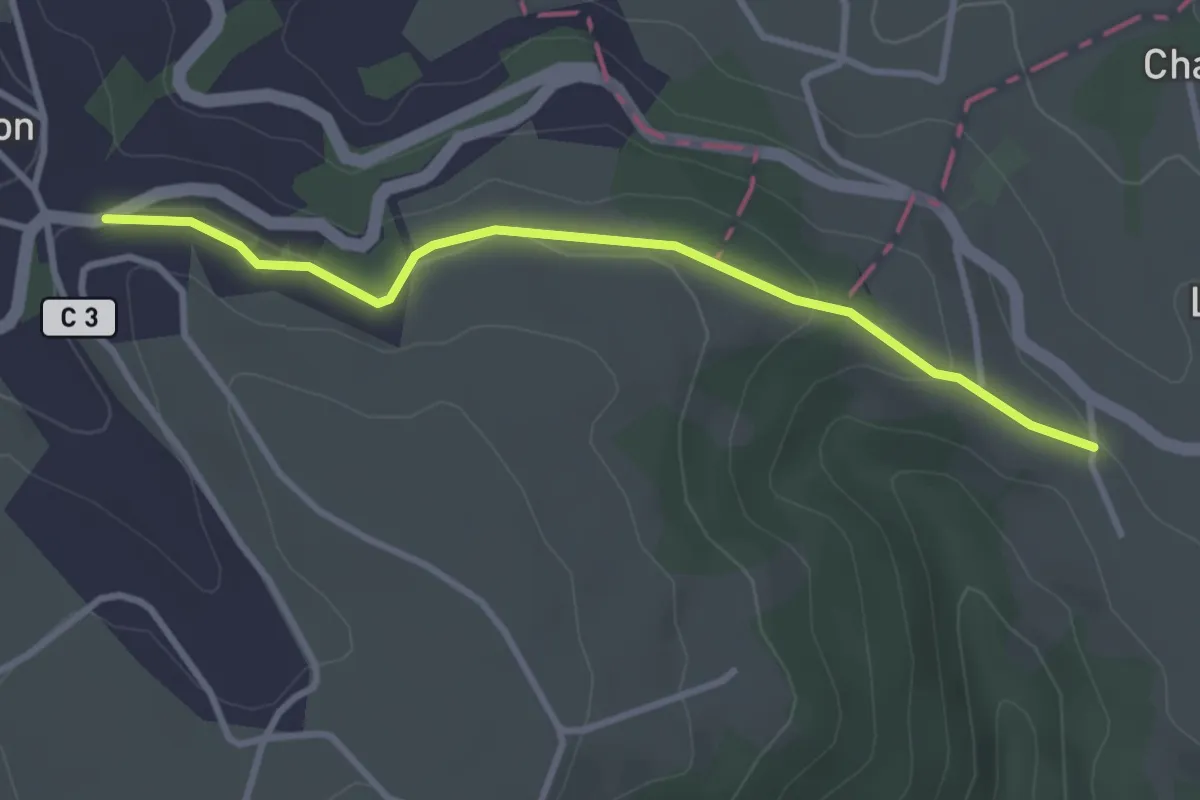
Belin-Béliet – Prat-Peyrot
3.3 km · ↑ 83 m · 57 min · 7 km away
Easy · Trail
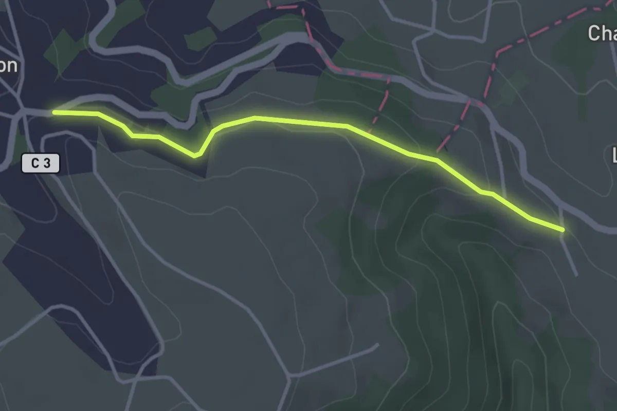
Conques – Cahors
3.3 km · ↑ 83 m · 57 min · 7 km away
Demanding · Trail
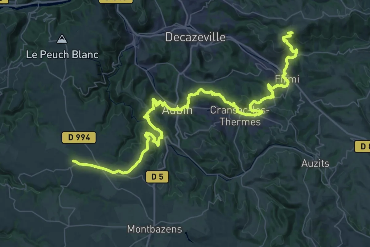
Puy-de-Wolf - Galgan
25.8 km · ↑ 871 m · 8 h 20 min · 8 km away
Demanding · Trail
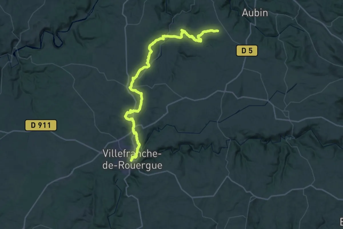
Galgan - Villefranche-de-Rouergue
37.2 km · ↑ 680 m · 10 h 53 min · 8 km away
Medium · Trail
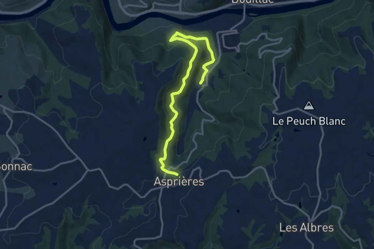
Le Vallon de Roucayrol
9.9 km · ↑ 531 m · 3 h 29 min · 9 km away
Medium · Trail
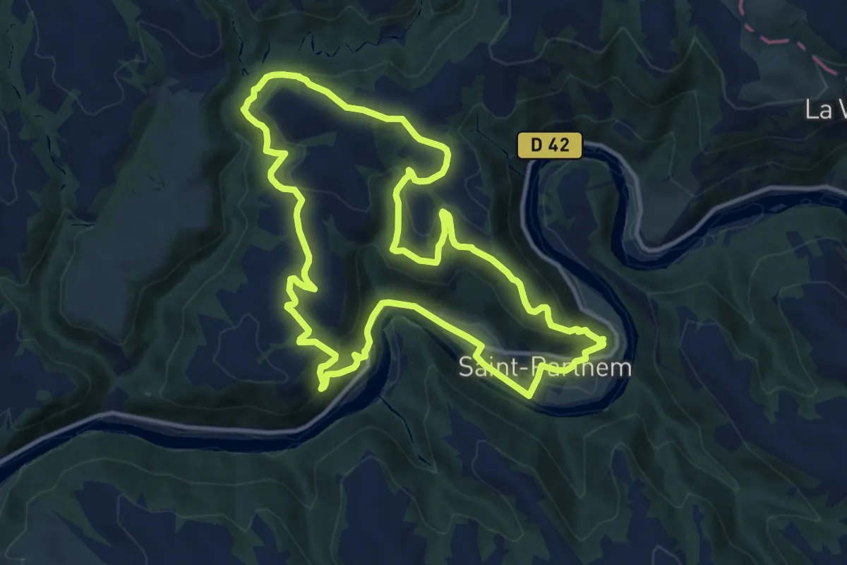
La maison de la rivière
11.8 km · ↑ 502 m · 4 h 3 min · 9 km away
Medium · Trail
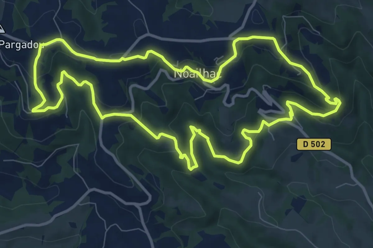
Le Sentier du Rebouscou
9.3 km · ↑ 400 m · 3 h 12 min · 9 km away
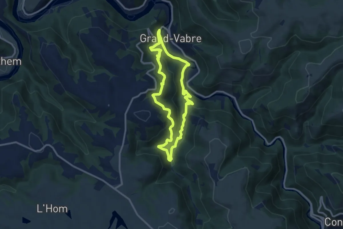
Medium · Trail
Sentier de Monediès
7.3 km · ↑ 388 m · 2 h 40 min · 10 km away
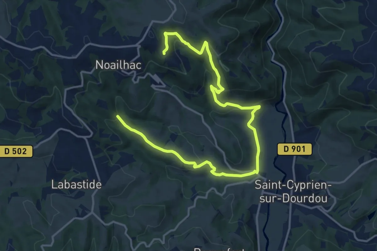
Medium · Trail
Le Sentier de Saint-Roch
14.9 km · ↑ 542 m · 4 h 42 min · 10 km away
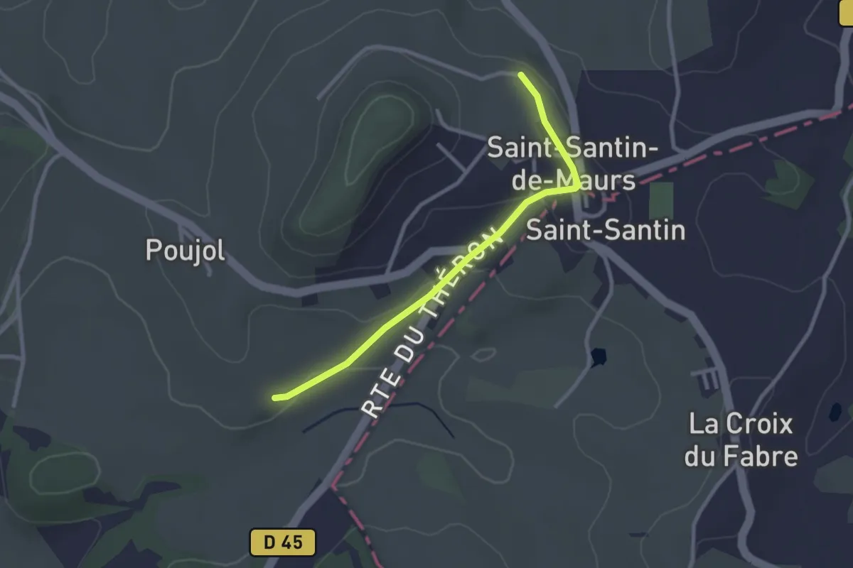
Easy · Trail
Chante-Cigale
2.6 km · ↑ 45 m · 43 min · 10 km away
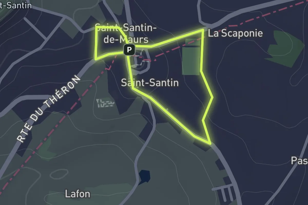
Easy · Trail
Les deux paroisses
1.5 km · ↑ 20 m · 26 min · 11 km away
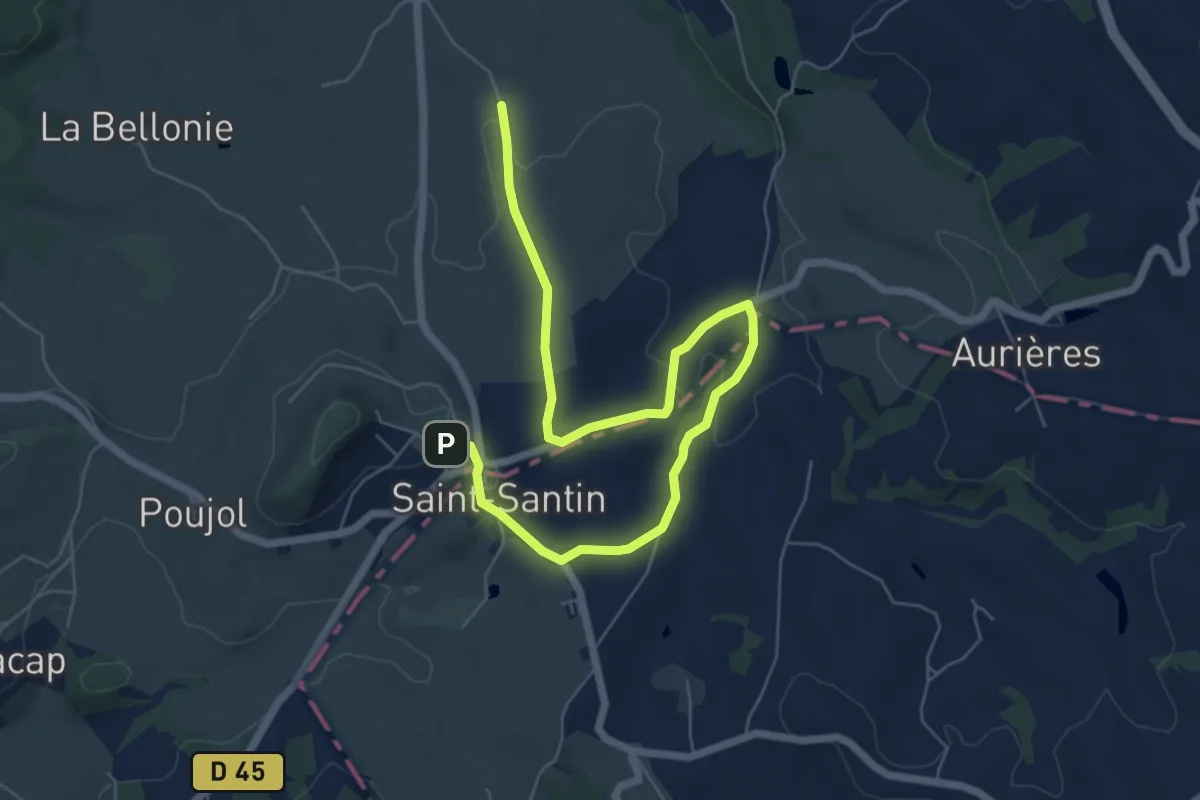
Easy · Trail
Les deux clochers
4.1 km · ↑ 26 m · 1 h 7 min · 11 km away
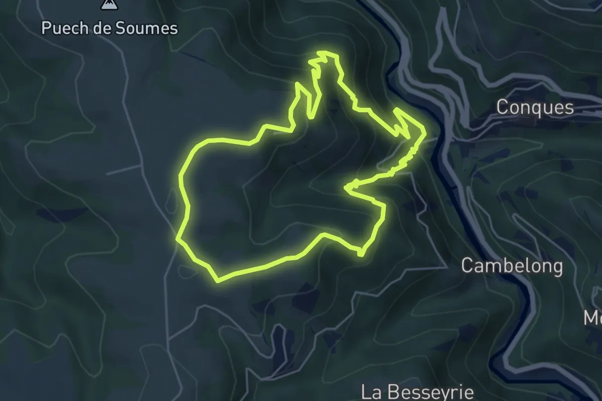
Medium · Summit
Chapelle Sainte-Foy
5.2 km · ↑ 342 m · 2 h 2 min · 11 km away
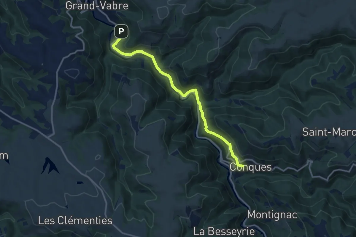
Medium · Trail
Sentier Conques - Grand-Vabre
9.6 km · ↑ 371 m · 3 h 5 min · 11 km away
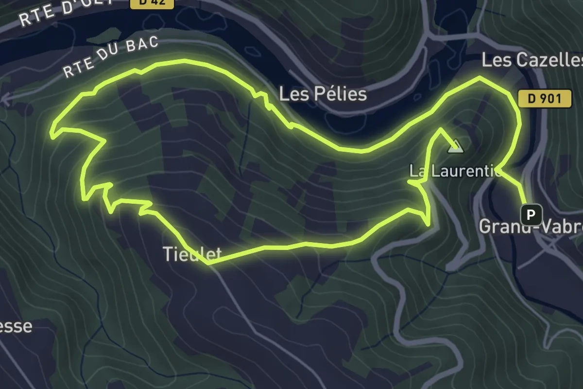
Medium · Summit
Tieulet
11.2 km · ↑ 578 m · 3 h 54 min · 11 km away
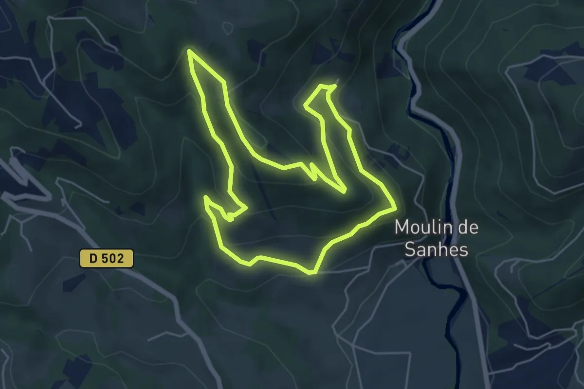
Easy · Trail
Le Chemin de l'Oiseau
4.9 km · ↑ 234 m · 1 h 45 min · 12 km away
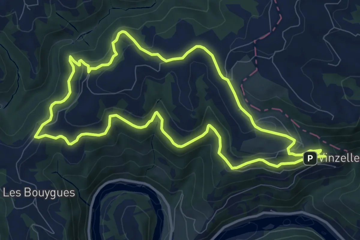
Medium · Trail
La Vinzelle - L'Hermet
9.3 km · ↑ 372 m · 3 h 9 min · 12 km away
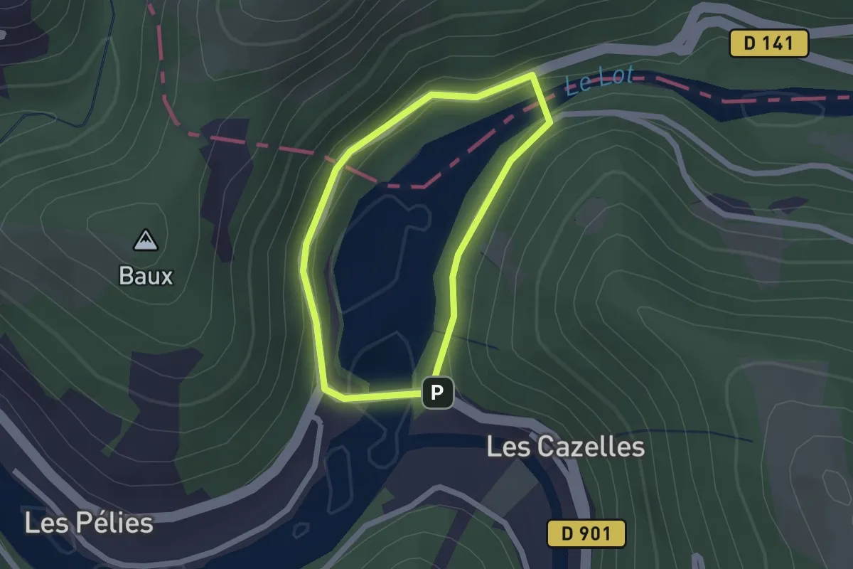
Easy · Trail
Les Deux Ponts
1.6 km · ↑ 71 m · 34 min · 12 km away
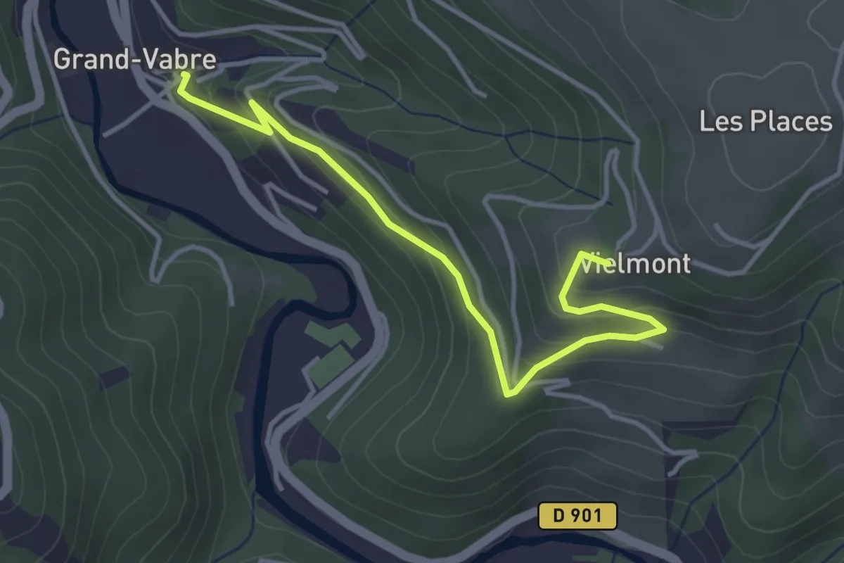
Easy · Trail
Vielmont
4.0 km · ↑ 220 m · 1 h 25 min · 12 km away
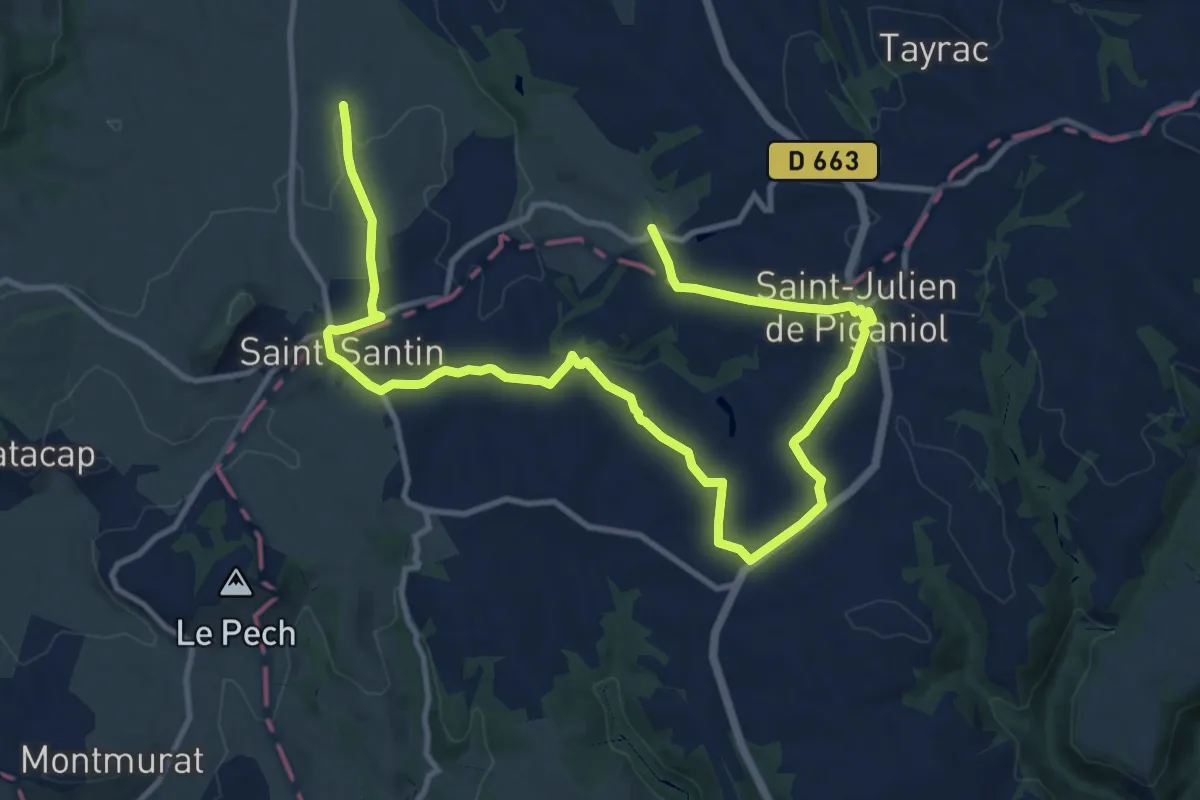
Medium · Trail
Les trois clochers
8.4 km · ↑ 172 m · 2 h 26 min · 12 km away
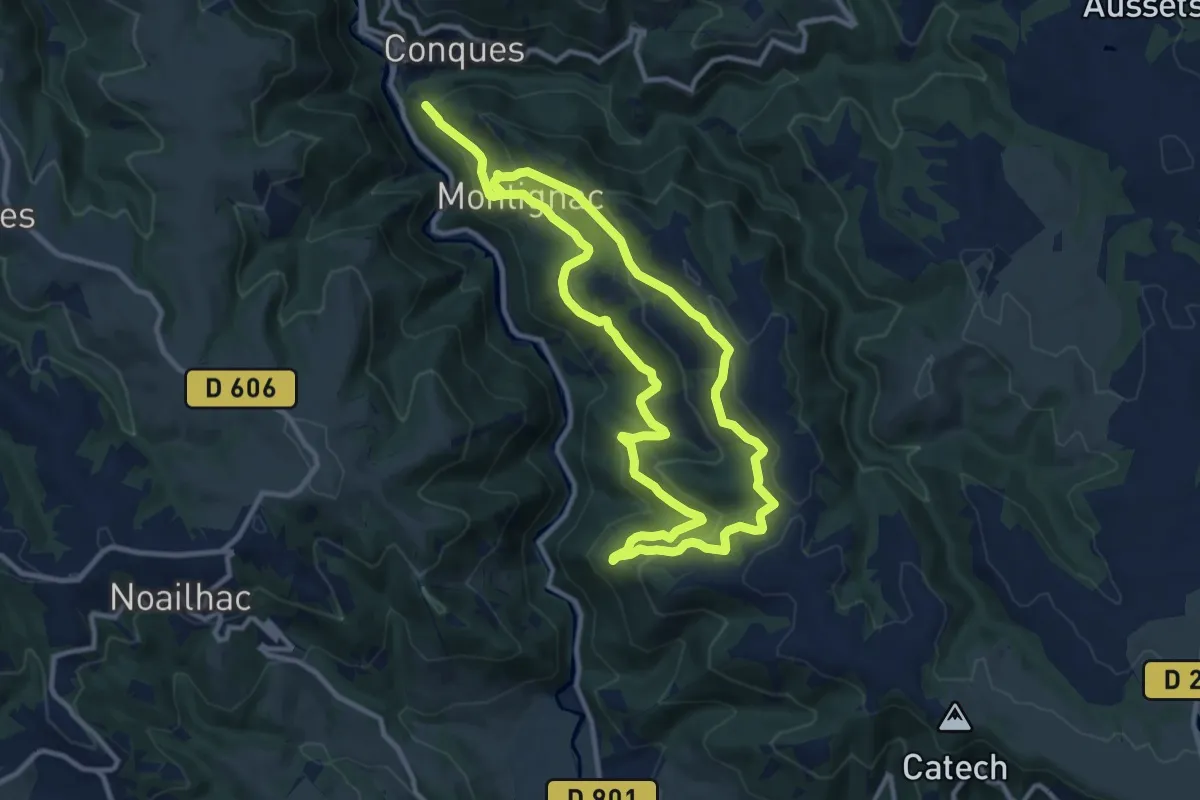
Demanding · Trail
Sentier du Bancarel
20.5 km · ↑ 990 m · 7 h · 12 km away
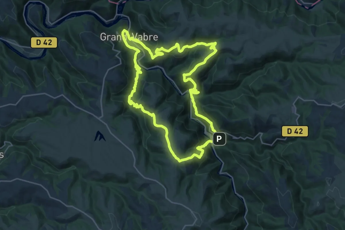
Demanding · Trail
Sentier Dadon
20.3 km · ↑ 945 m · 7 h 7 min · 12 km away
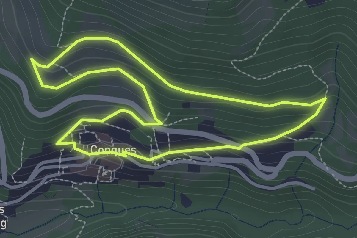
Easy · Trail
Le Chemin des Vignes
2.7 km · ↑ 130 m · 58 min · 12 km away
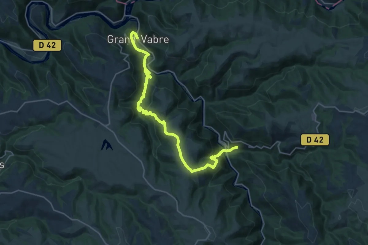
Demanding · Trail
MCVL9 : Grand-Vabre - Conques
19.5 km · ↑ 861 m · 6 h 28 min · 12 km away
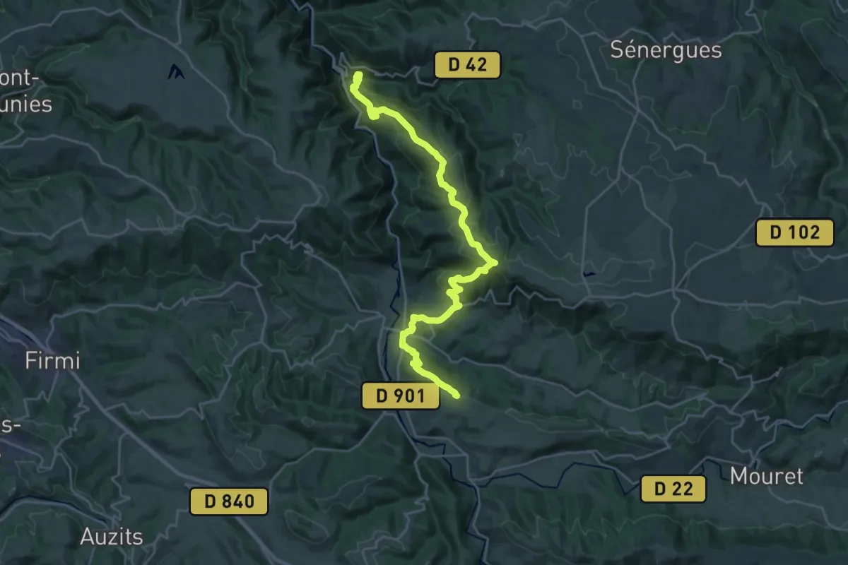
Demanding · Summit
Combret - Conques
26.9 km · ↑ 1124 m · 8 h 47 min · 12 km away
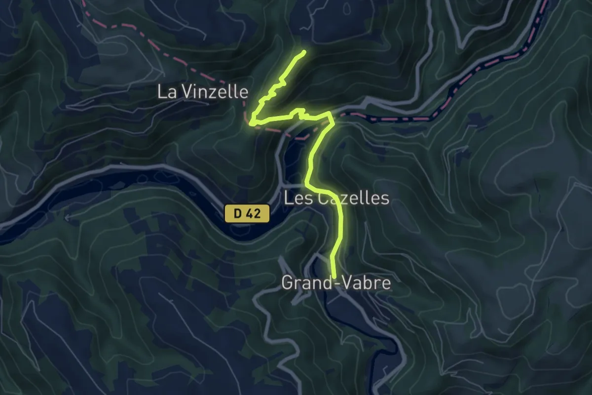
Medium · Trail
MCVL8N : Cassaniouze - Grand-Vabre
6.2 km · ↑ 322 m · 2 h 10 min · 13 km away
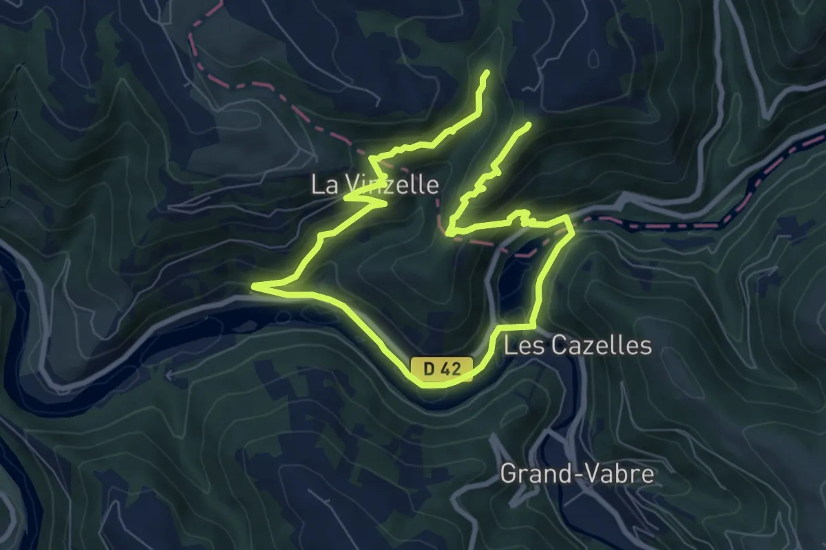
Medium · Trail
La Vinzelle
12.6 km · ↑ 663 m · 4 h 25 min · 13 km away
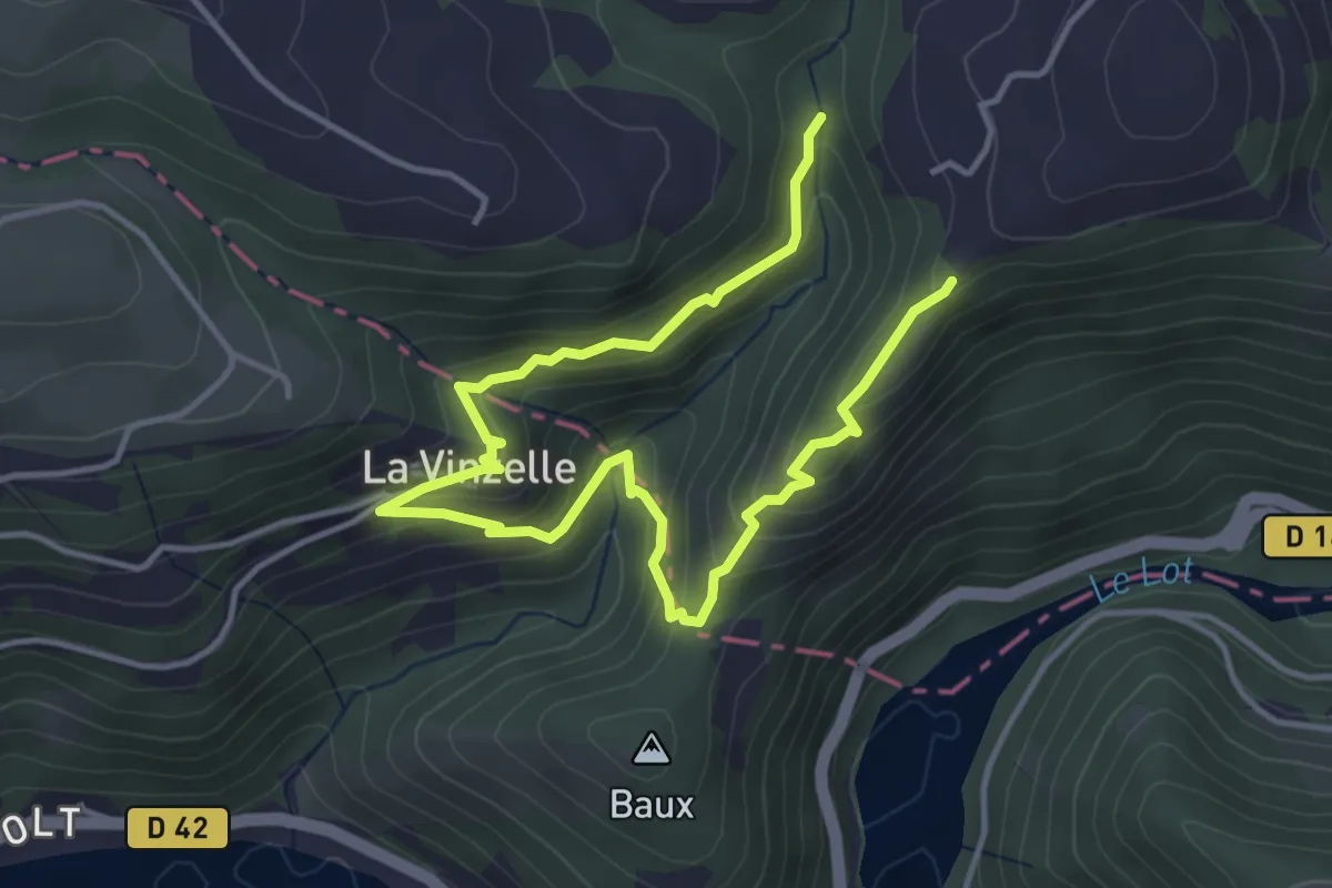
Easy · Trail
Sentier des Buissières
3.0 km · ↑ 197 m · 1 h 9 min · 13 km away
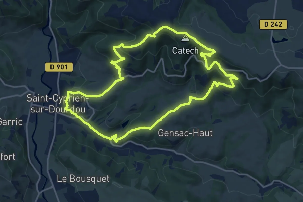
Medium · Summit
Le Sentier des Croix
10.9 km · ↑ 460 m · 3 h 44 min · 13 km away
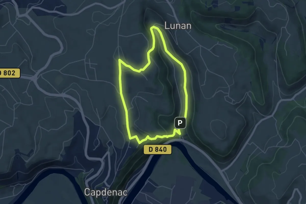
Easy · Trail
La boucle de Lunan
5.2 km · ↑ 172 m · 1 h 40 min · 14 km away
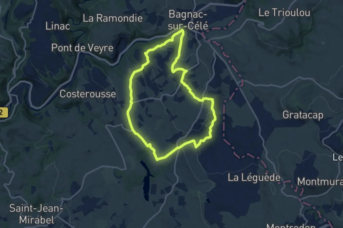
Medium · Trail
Le circuit des Gâches
10.4 km · ↑ 202 m · 3 h 2 min · 14 km away
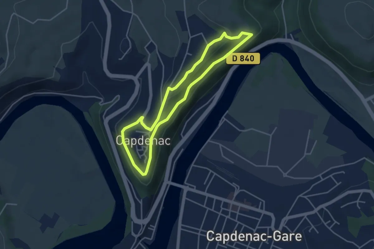
Easy · Trail
Circuit de la cité de Capdenac
3.4 km · ↑ 97 m · 1 h 4 min · 15 km away
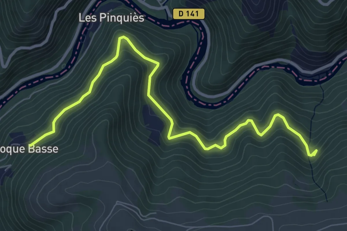
Medium · Trail
La Cassanie
7.9 km · ↑ 341 m · 2 h 36 min · 15 km away