Trails near Embrun
109 hikes starting within 15 km, nearest first.
Nearest first, page 2 of 3
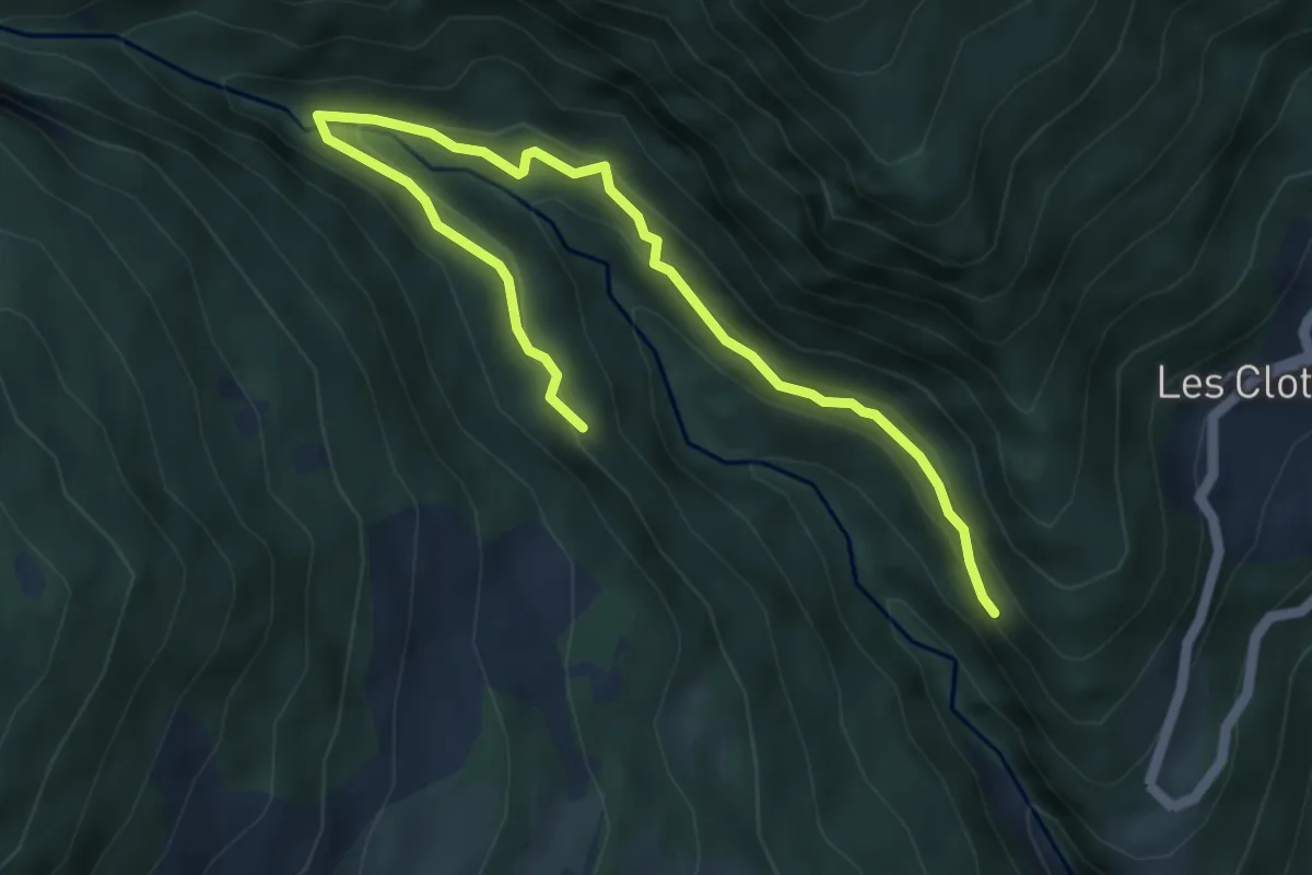
Easy · Trail
Ancien Canal - La Roche Taillée
6.1 km · ↑ 276 m · 2 h 3 min · 11 km away
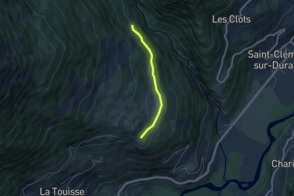
Easy · Trail
Ancien Canal - Croix du Serre de l'Aigle
3.7 km · ↑ 92 m · 1 h 5 min · 11 km away
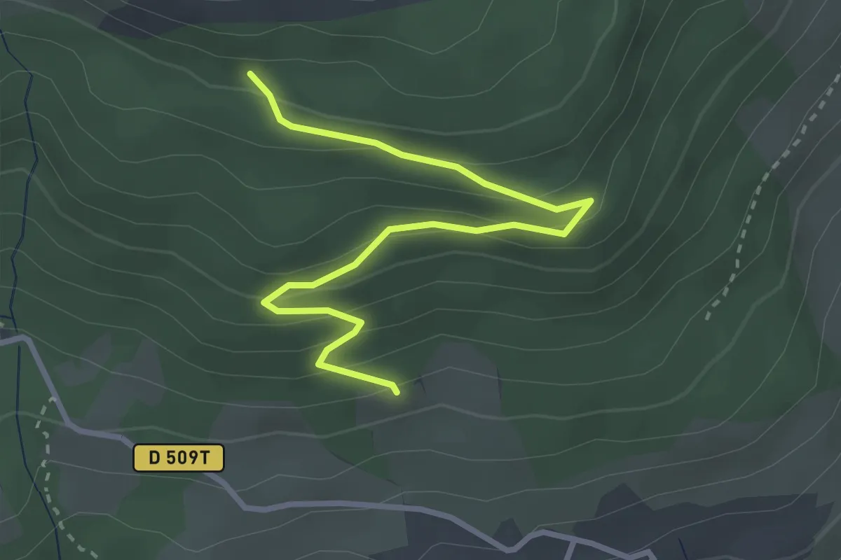
Easy · Trail
Les Faysses - Jigoure
3.3 km · ↑ 199 m · 1 h 13 min · 11 km away
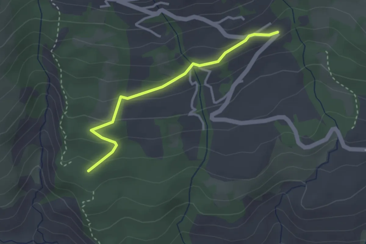
Easy · Trail
Costes des Jouffres - ?
2.7 km · ↑ 133 m · 56 min · 11 km away
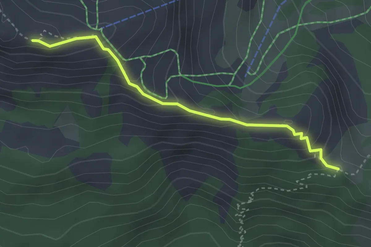
Medium · Trail
Croix du Vallon - Serre du Mouton
3.0 km · ↑ 262 m · 1 h 17 min · 11 km away
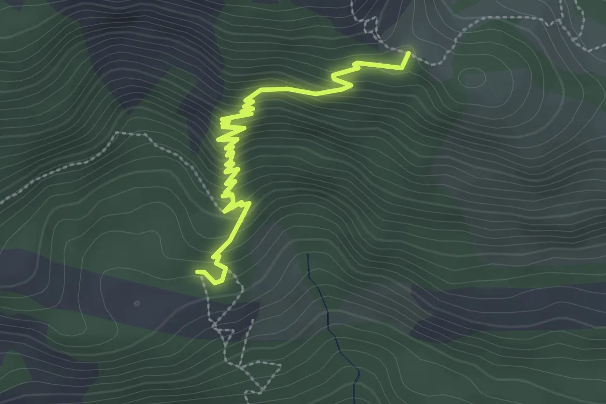
Medium · Trail
Joubelle - Serre du Mouton
3.2 km · ↑ 221 m · 1 h 14 min · 11 km away
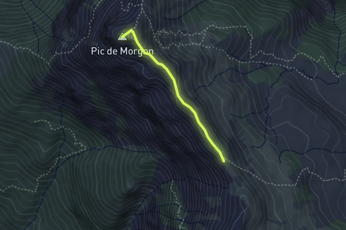
Demanding · Summit
Crête de Morgon - Pic de Morgon
2.6 km · ↑ 158 m · 57 min · 11 km away
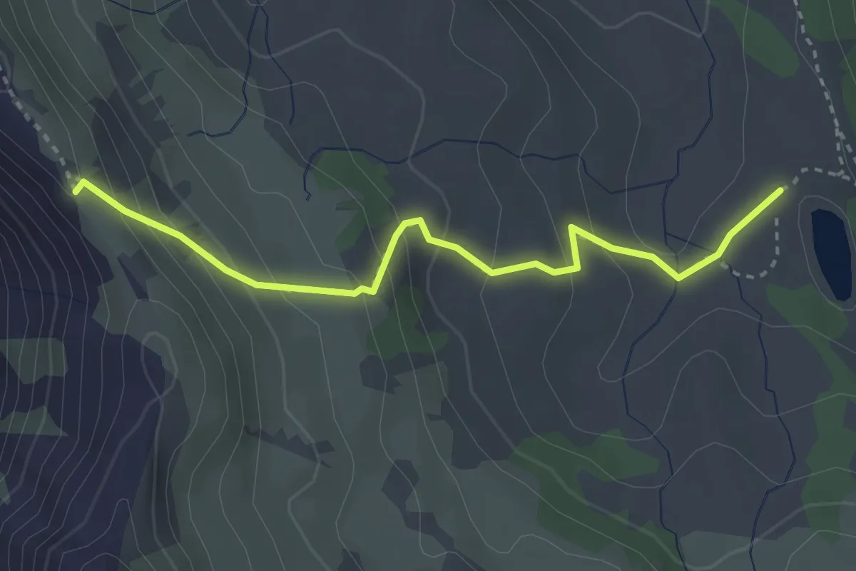
Medium · Trail
Crête de Morgon - Lac de Morgon
3.2 km · ↑ 247 m · 1 h 18 min · 11 km away
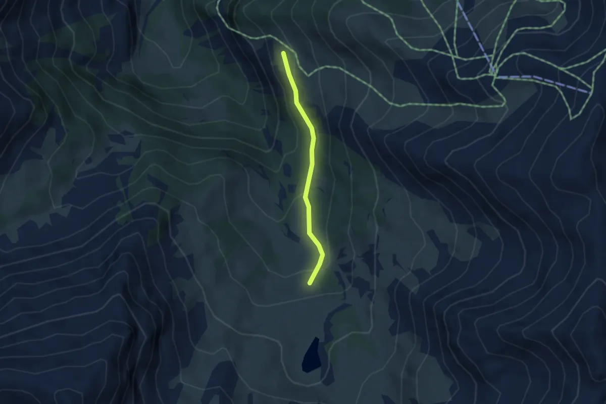
Medium · Trail
Remollon - Vieille Cabane
2.9 km · ↑ 114 m · 55 min · 12 km away
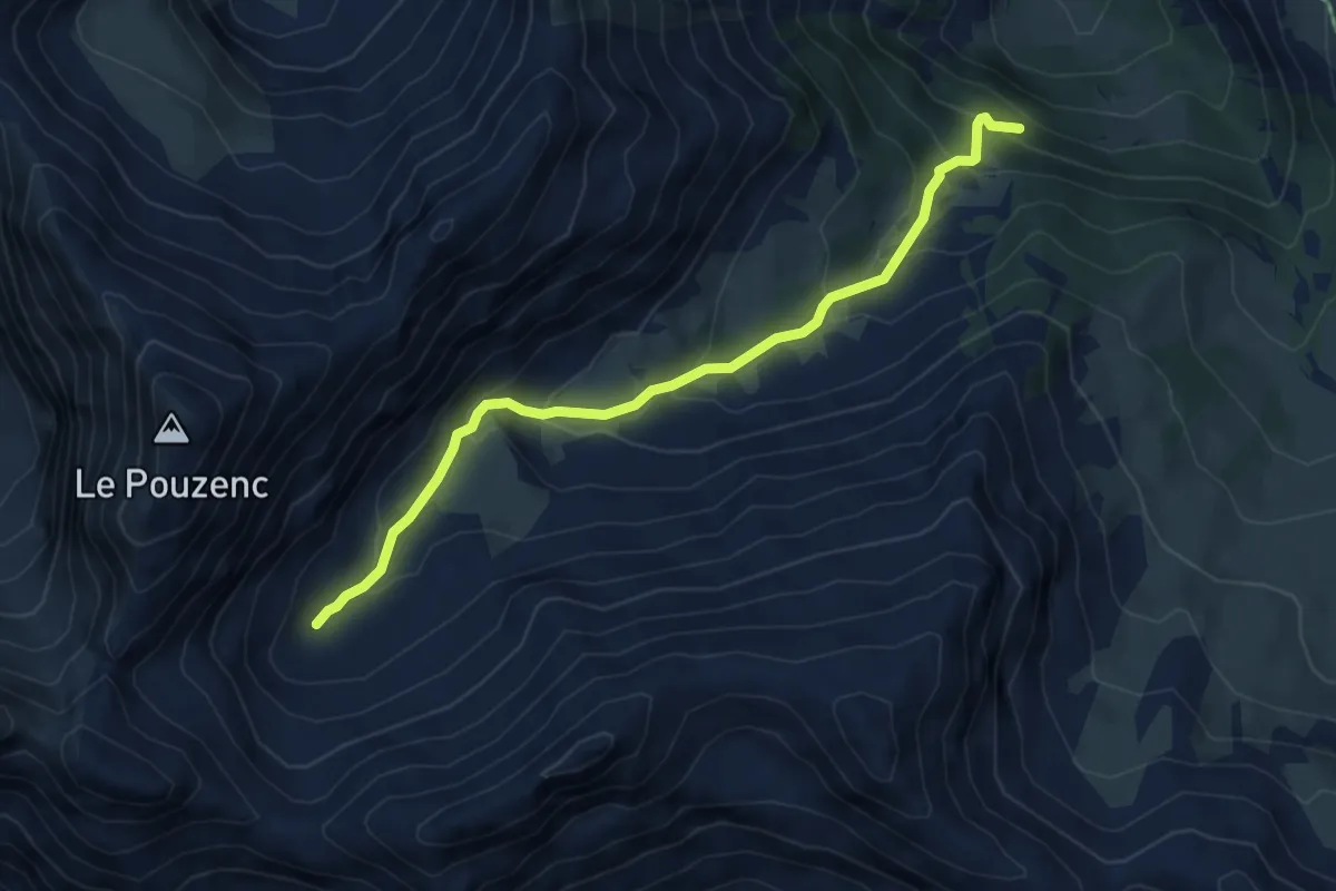
Medium · Trail
Jérusalem - Vallon de Muretier
5.6 km · ↑ 409 m · 2 h 12 min · 12 km away
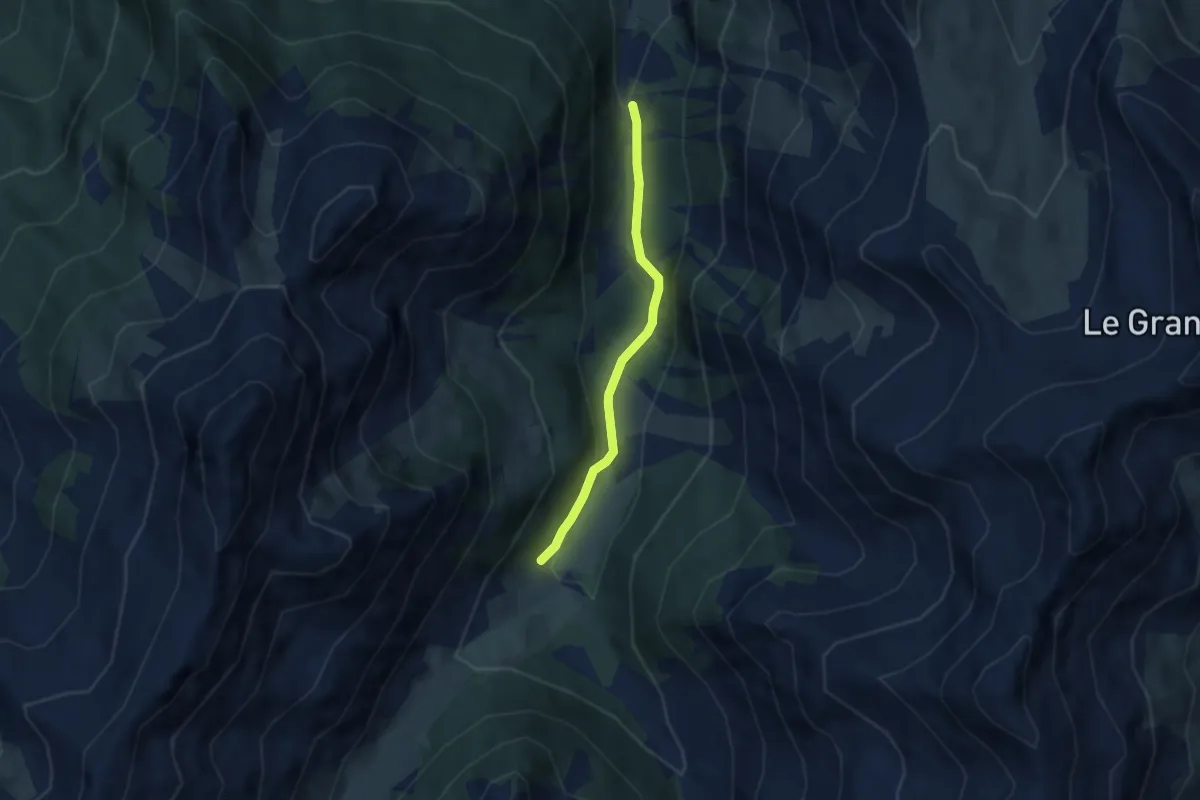
Easy · Trail
? - ?
4.9 km · ↑ 115 m · 1 h 25 min · 12 km away
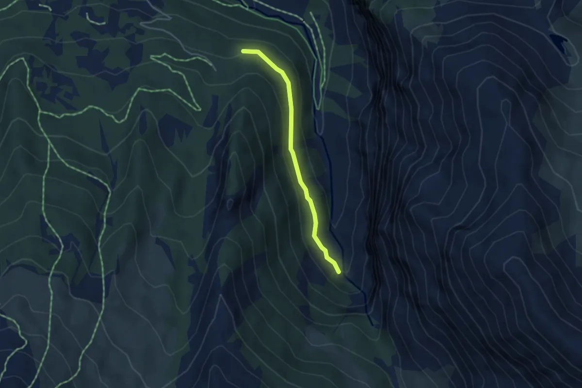
Easy · Cabin
Canal Chenevrier - Canal Chenevrier
3.3 km · ↑ 160 m · 1 h 7 min · 12 km away
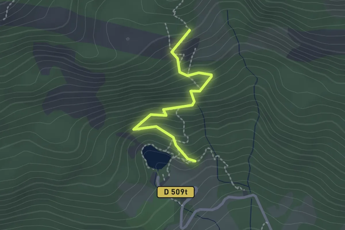
Medium · Trail
Lac de Saint-Apollinaire - Plate Longue
2.1 km · ↑ 180 m · 53 min · 12 km away
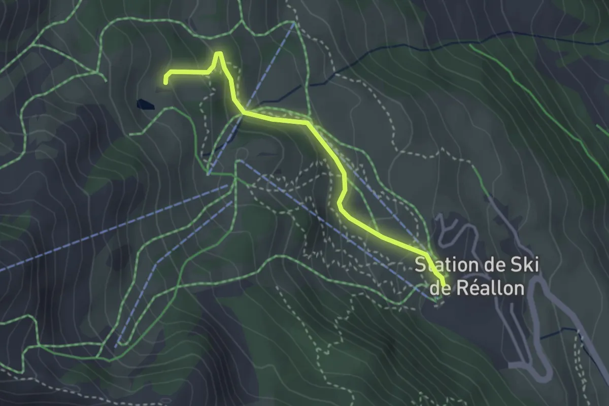
Easy · Trail
Sous Font Guillarde - Centre Station
3.0 km · ↑ 181 m · 1 h 6 min · 12 km away
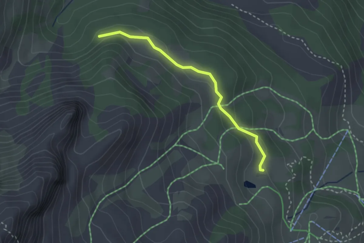
Easy · Trail
Sous Font Guillarde - Pierre Rouge
2.6 km · ↑ 78 m · 47 min · 12 km away
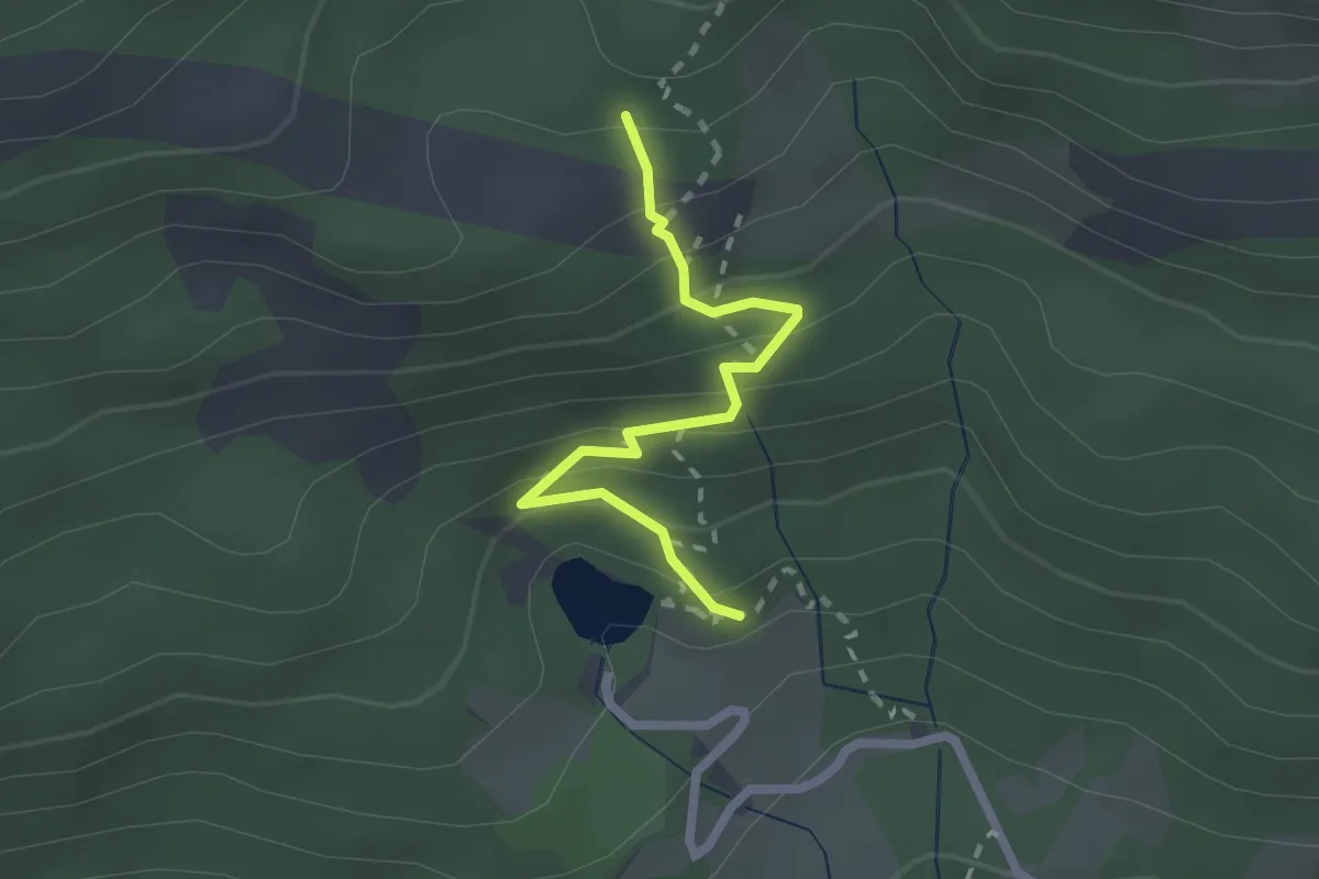
Medium · Trail
Joubelle - Lac de Saint-Apollinaire
2.2 km · ↑ 189 m · 55 min · 12 km away
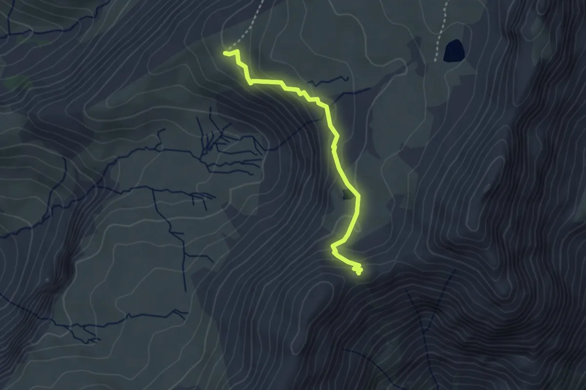
Easy · Trail
Col des Tourettes - ?
3.2 km · ↑ 200 m · 1 h 11 min · 12 km away
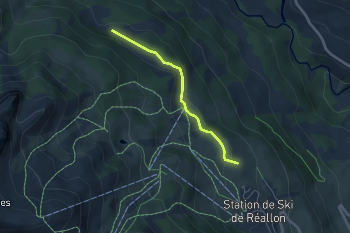
Easy · Trail
La Posette - Réallon Station (Est)
3.5 km · ↑ 108 m · 1 h 3 min · 12 km away
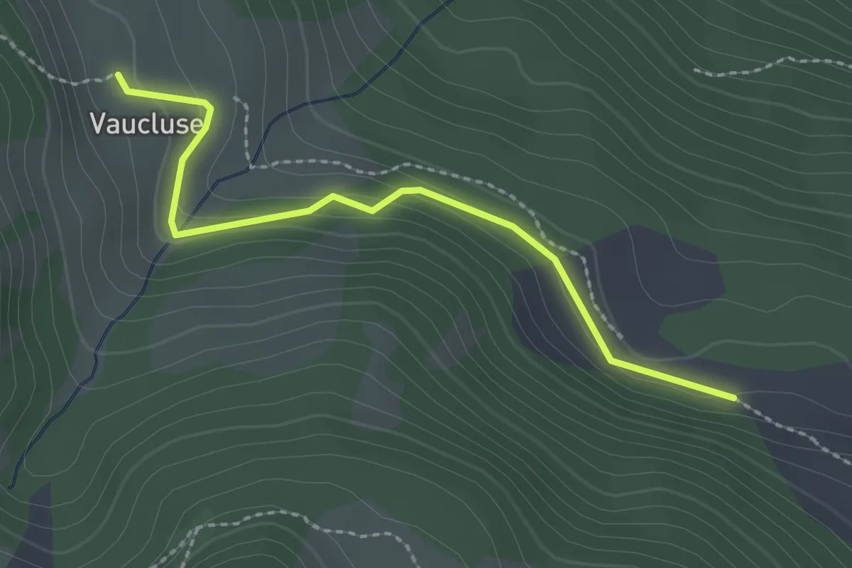
Easy · Trail
Hameau de Vaucluse - La Posette
2.3 km · ↑ 80 m · 43 min · 12 km away
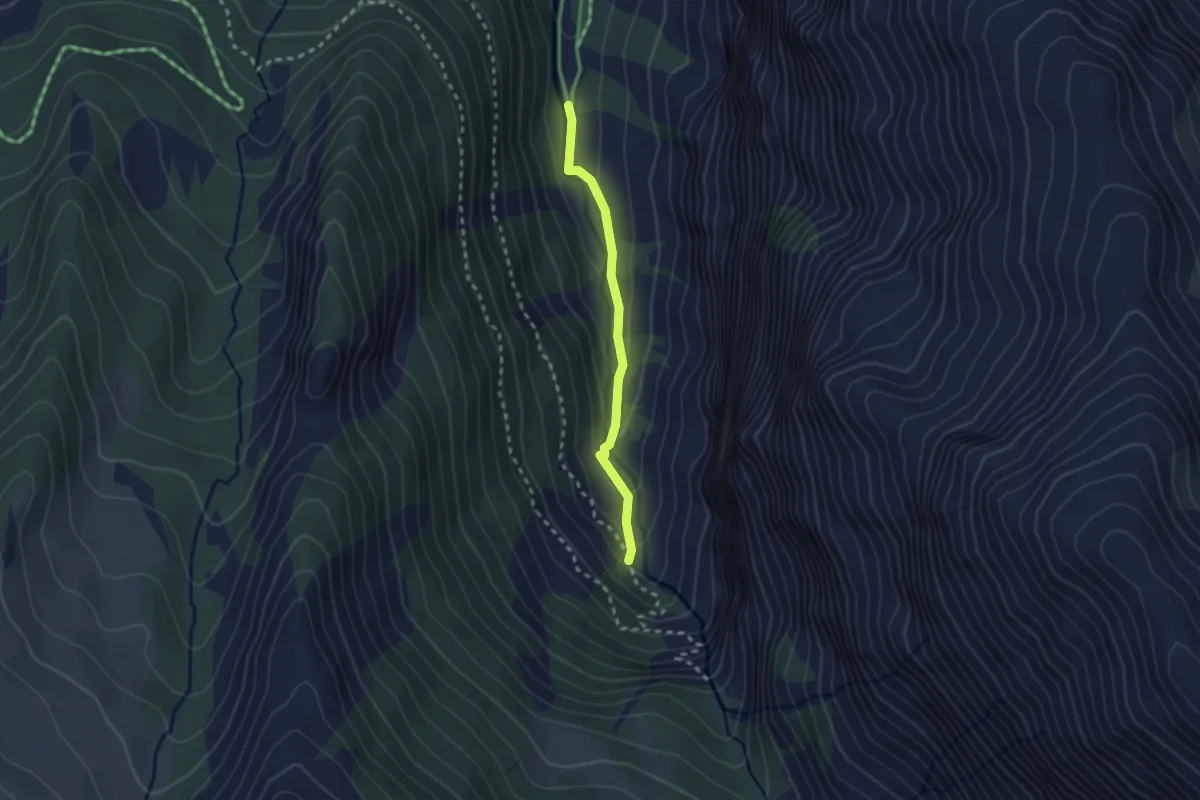
Easy · Cabin
Canal Chenevrier - Les Enfers
2.2 km · ↑ 94 m · 44 min · 12 km away
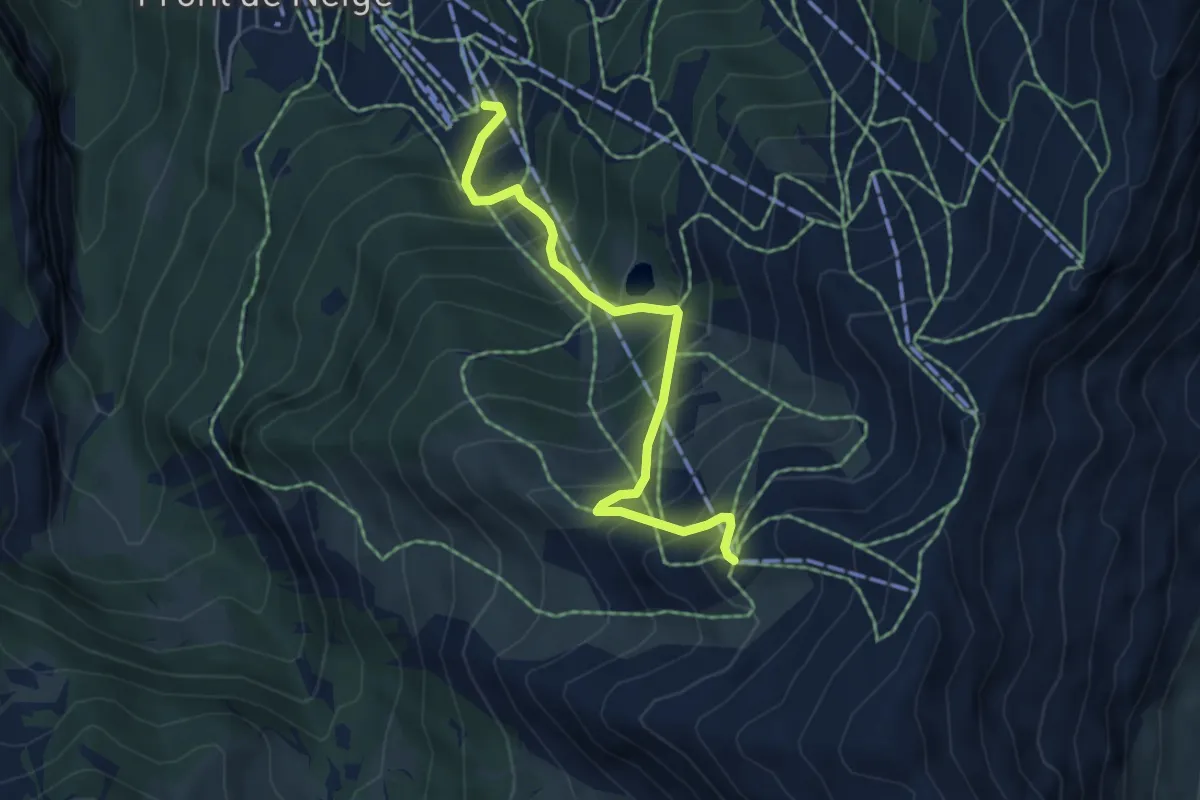
Medium · Trail
Gare Arrivée TS Pré Longis - Sommet TS Pousterle
5.1 km · ↑ 606 m · 2 h 31 min · 12 km away
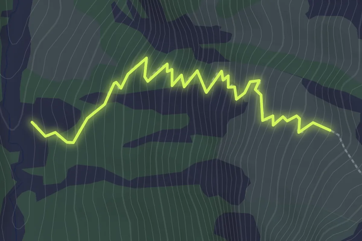
Medium · Trail
Cabane de Girabeau - ?
3.0 km · ↑ 364 m · 1 h 30 min · 12 km away
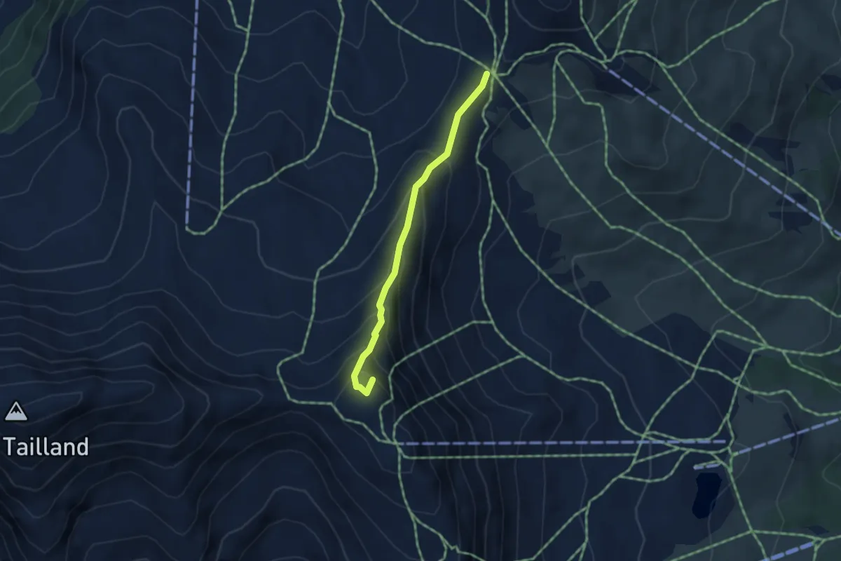
Demanding · Summit
Col des Saluces - Pic de Chabrières
3.4 km · ↑ 298 m · 1 h 26 min · 12 km away
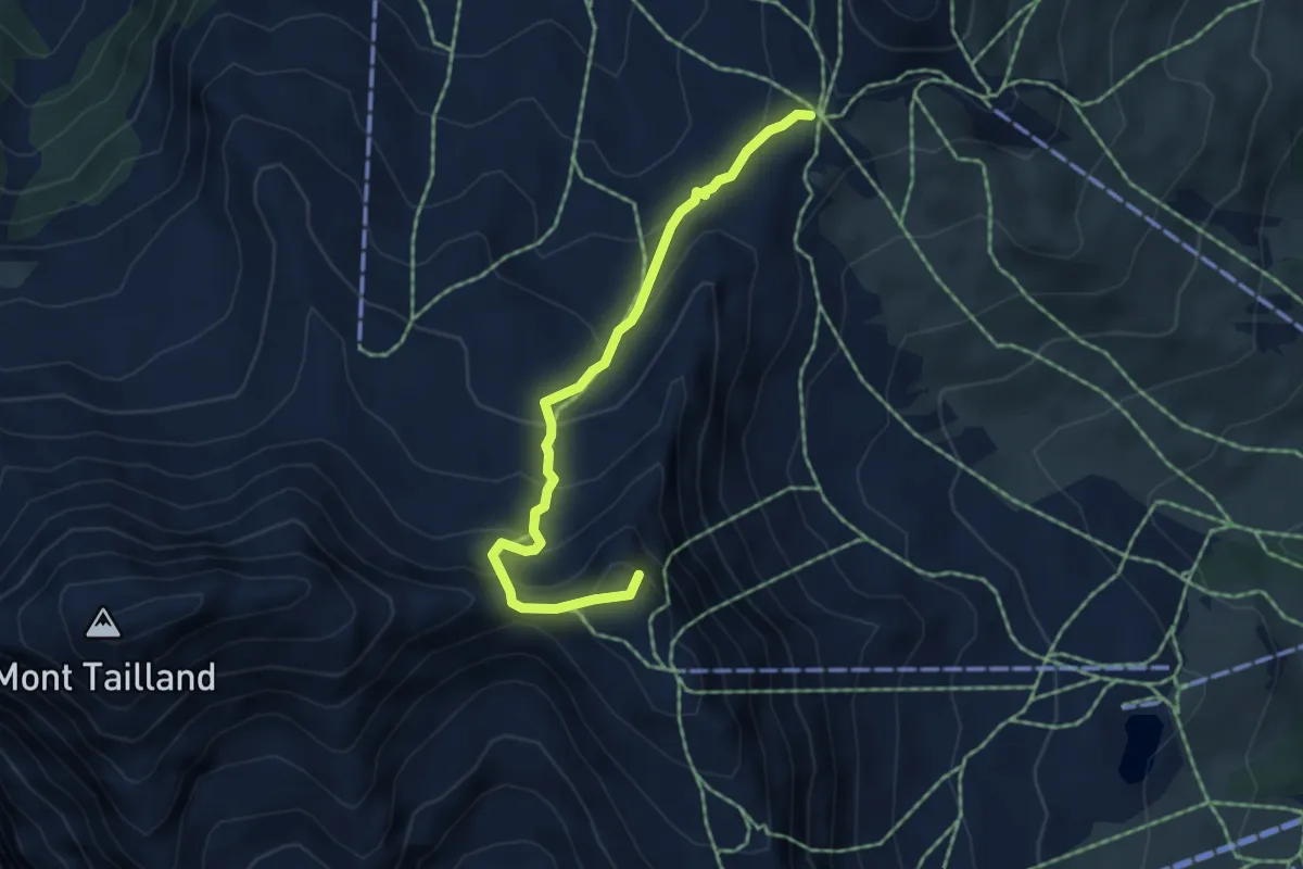
Demanding · Summit
Col des Saluces - Pic de Chabrières
4.9 km · ↑ 381 m · 1 h 59 min · 12 km away
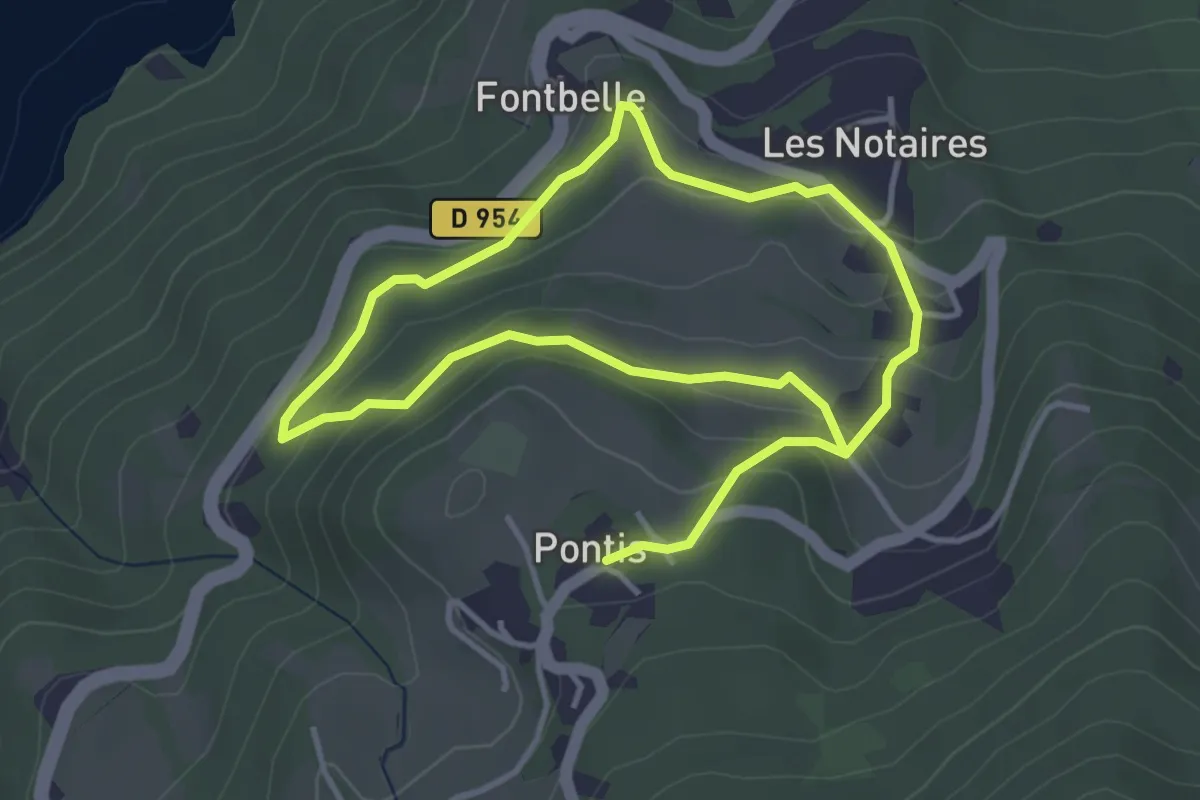
Easy · Trail
Forêt de Pontis
3.4 km · ↑ 160 m · 1 h 11 min · 12 km away
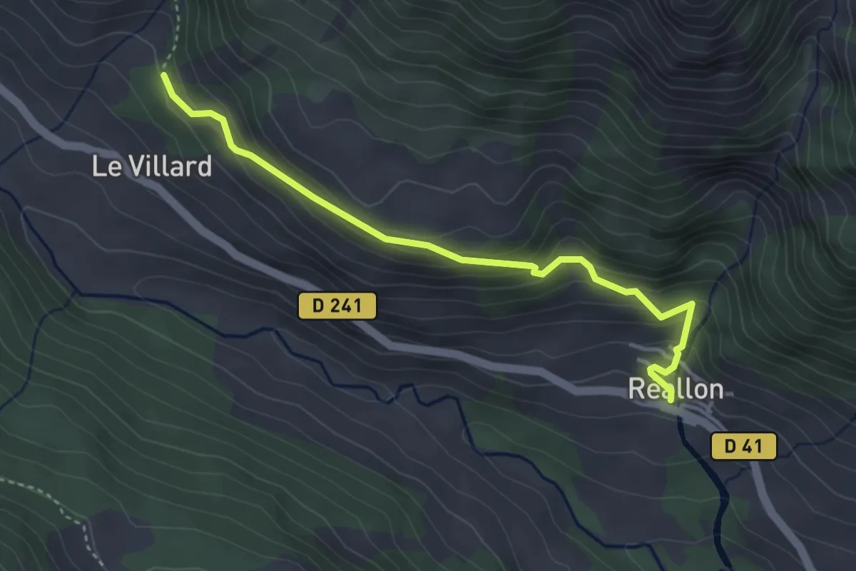
Easy · Trail
Torrent de la Pisse - ?
4.0 km · ↑ 303 m · 1 h 36 min · 12 km away
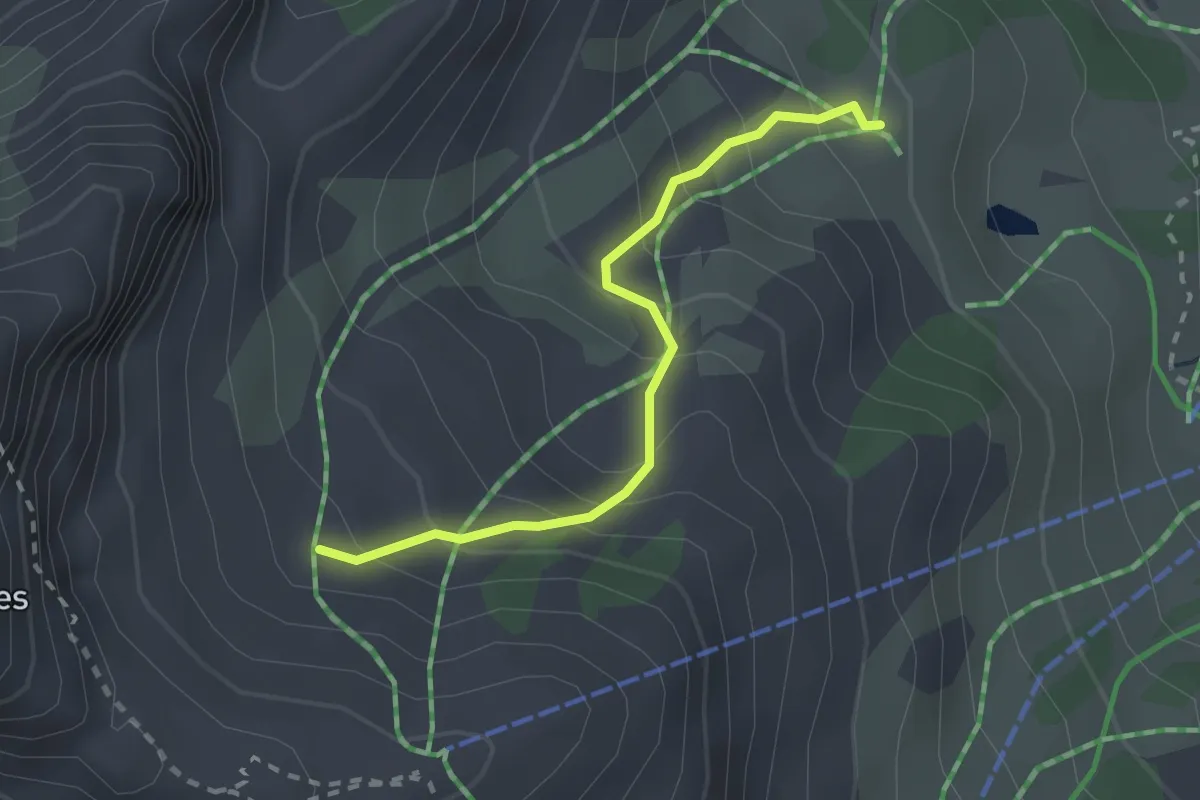
Easy · Trail
Le Vallon - Font Guillarde
2.3 km · ↑ 218 m · 1 h 1 min · 13 km away
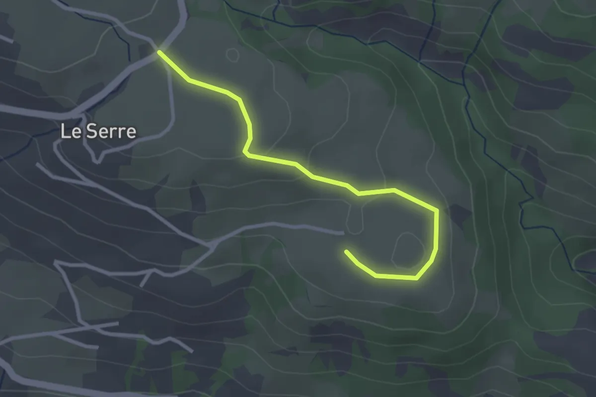
Easy · Trail
Pré Riand - La Clouisse
2.9 km · ↑ 78 m · 51 min · 13 km away
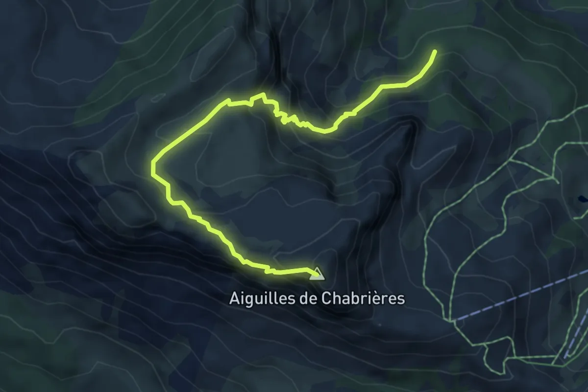
Demanding · Summit
Brèche de Chabrières - Pierre Rouge
6.6 km · ↑ 542 m · 2 h 44 min · 13 km away
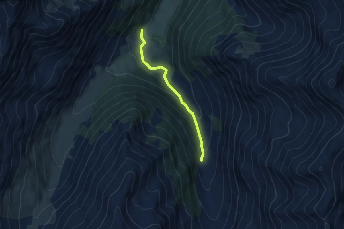
Easy · Trail
Cabane du Grand Vallon - ?
3.9 km · ↑ 171 m · 1 h 18 min · 13 km away
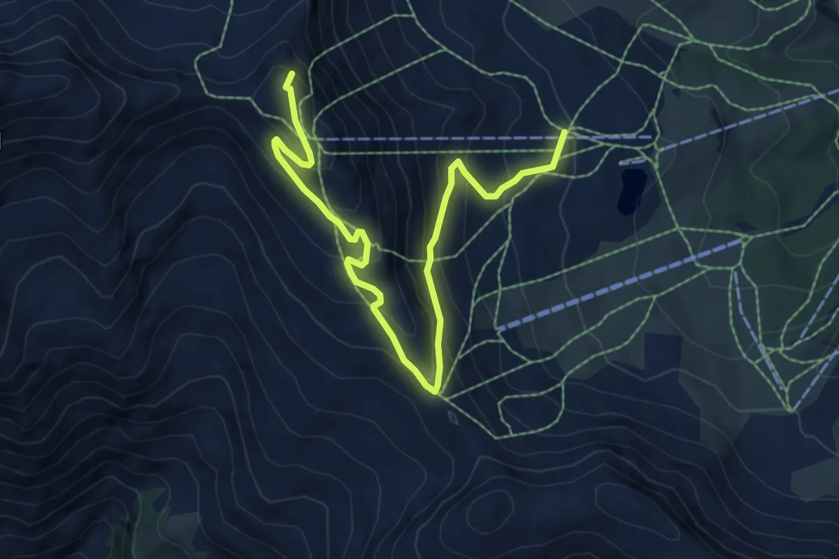
Medium · Summit
Pic de Chabrières - ?
7.9 km · ↑ 496 m · 2 h 57 min · 13 km away
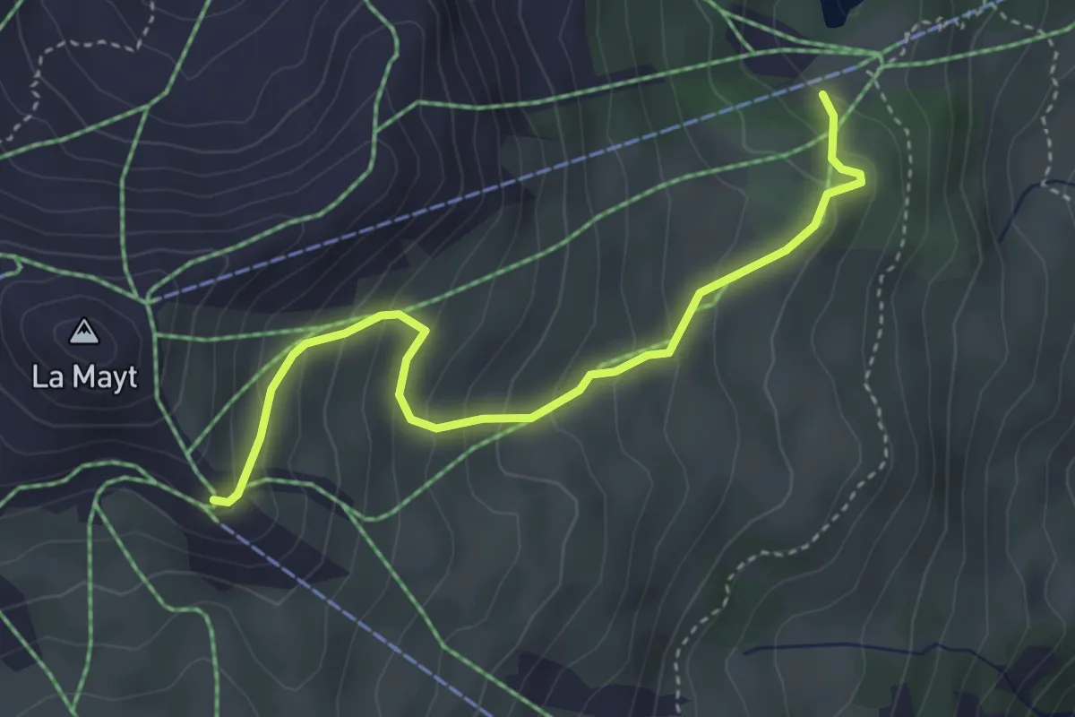
Easy · Trail
Sommet TS Mayt - Lac Peyrol
4.0 km · ↑ 298 m · 1 h 35 min · 13 km away
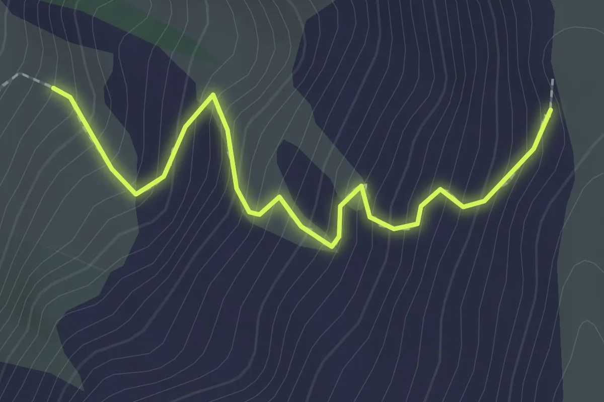
Medium · Trail
Col de Girabeau - Cabane de Girabeau
2.3 km · ↑ 303 m · 1 h 12 min · 13 km away
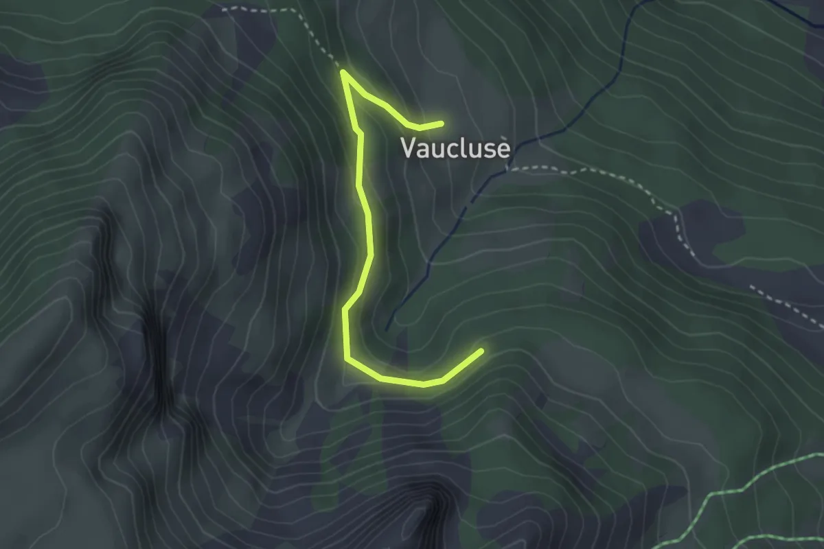
Easy · Trail
Hameau de Vaucluse - Pierre Rouge
2.9 km · ↑ 146 m · 1 h · 13 km away
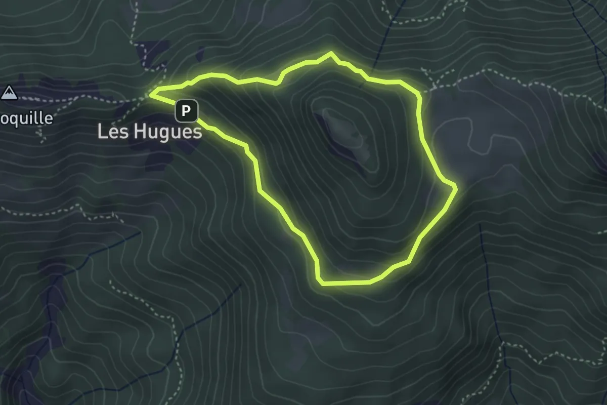
Medium · Trail
Tour du Morgonnet
3.4 km · ↑ 185 m · 1 h 15 min · 13 km away
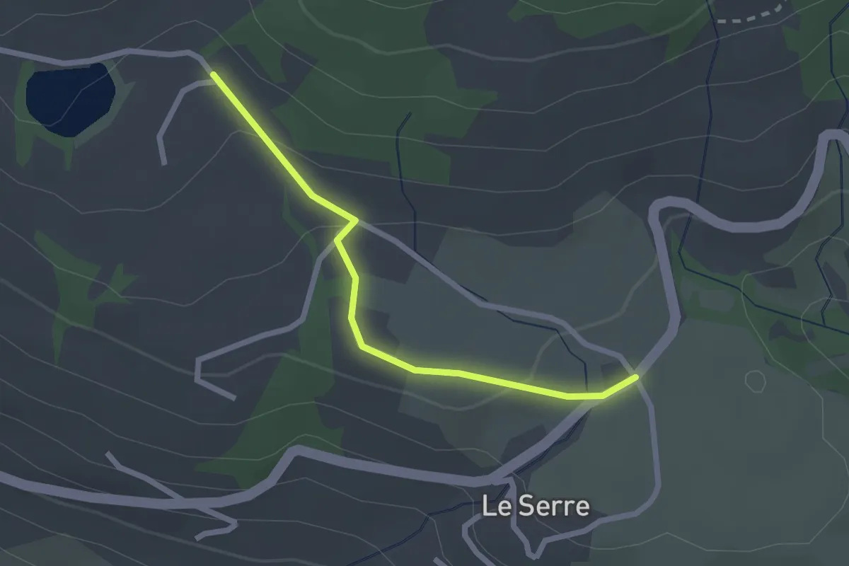
Easy · Trail
Les Gourres - Pré Riand
2.2 km · ↑ 64 m · 39 min · 13 km away
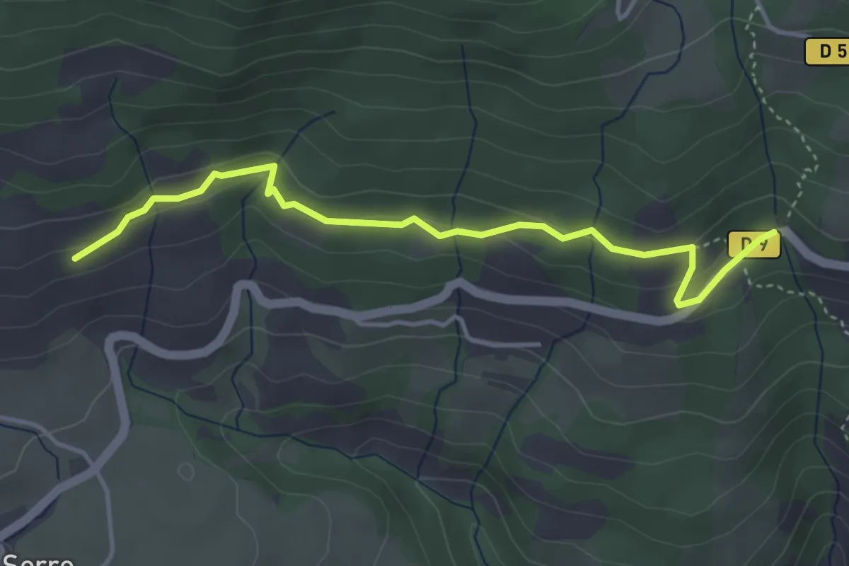
Easy · Trail
Le Résian - ?
4.1 km · ↑ 135 m · 1 h 16 min · 13 km away
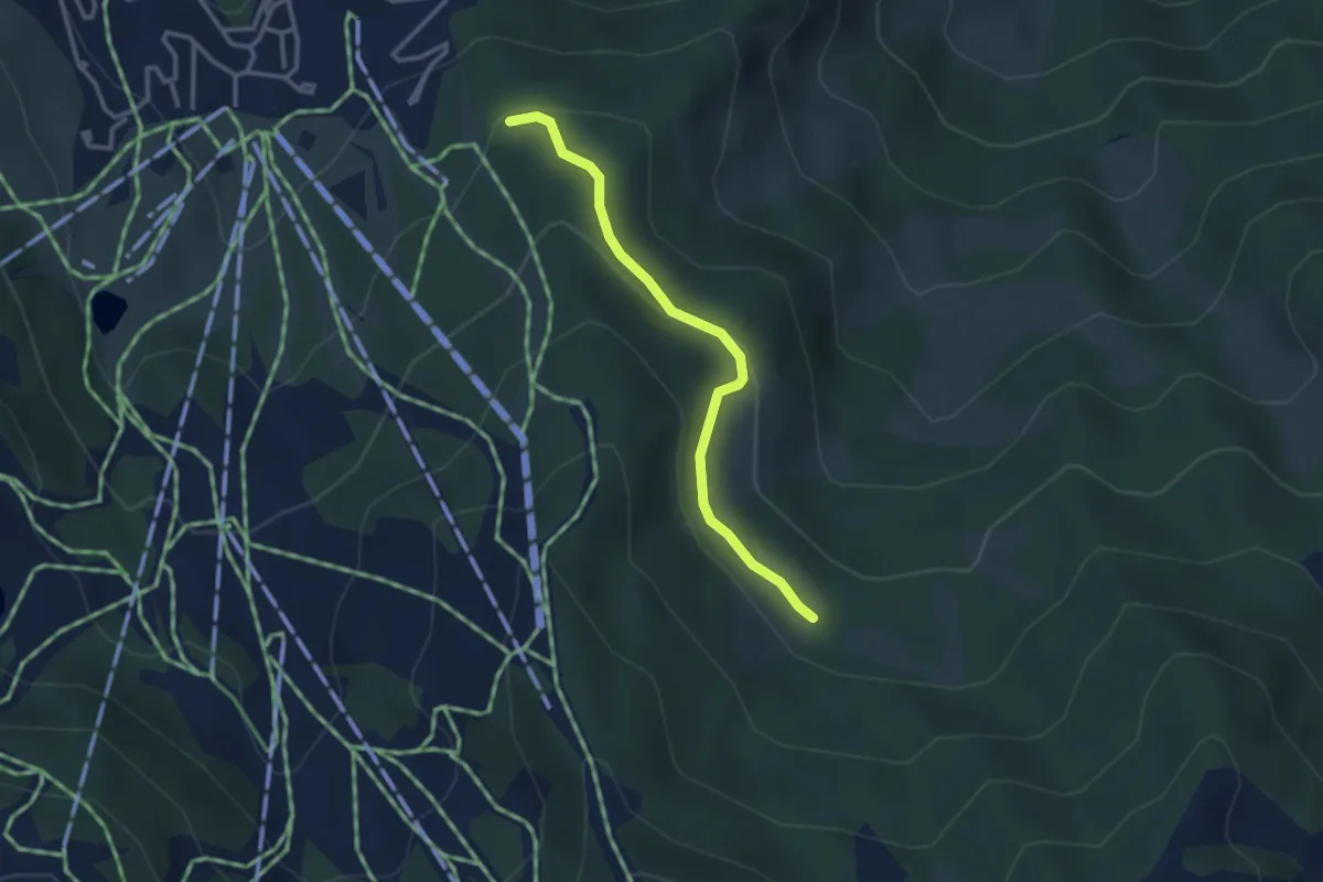
Easy · Trail
Cabane de Razis - Le Mélezet
3.0 km · ↑ 101 m · 56 min · 13 km away
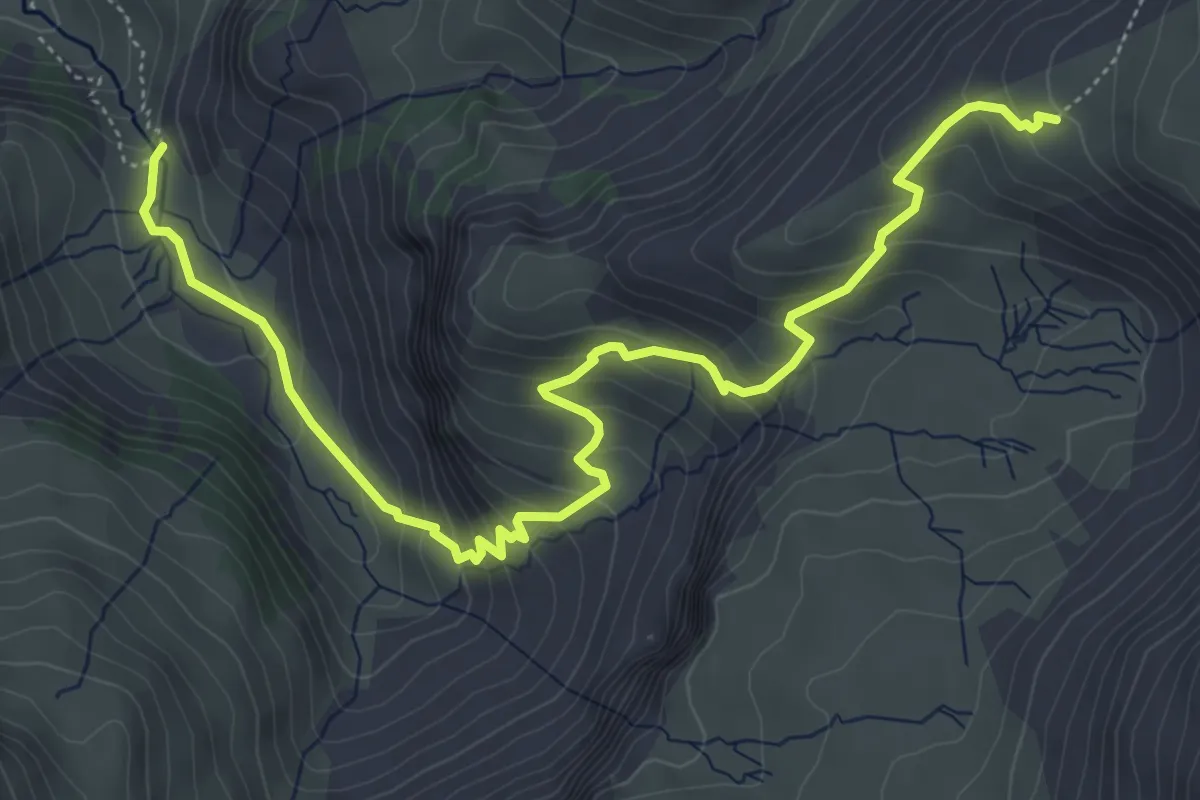
Medium · Trail
Saut du Laïre - ?
6.9 km · ↑ 525 m · 2 h 46 min · 13 km away
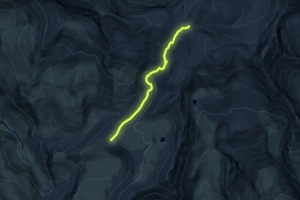
Medium · Trail
Col des Terres Blanches - ?
6.4 km · ↑ 338 m · 2 h 14 min · 13 km away
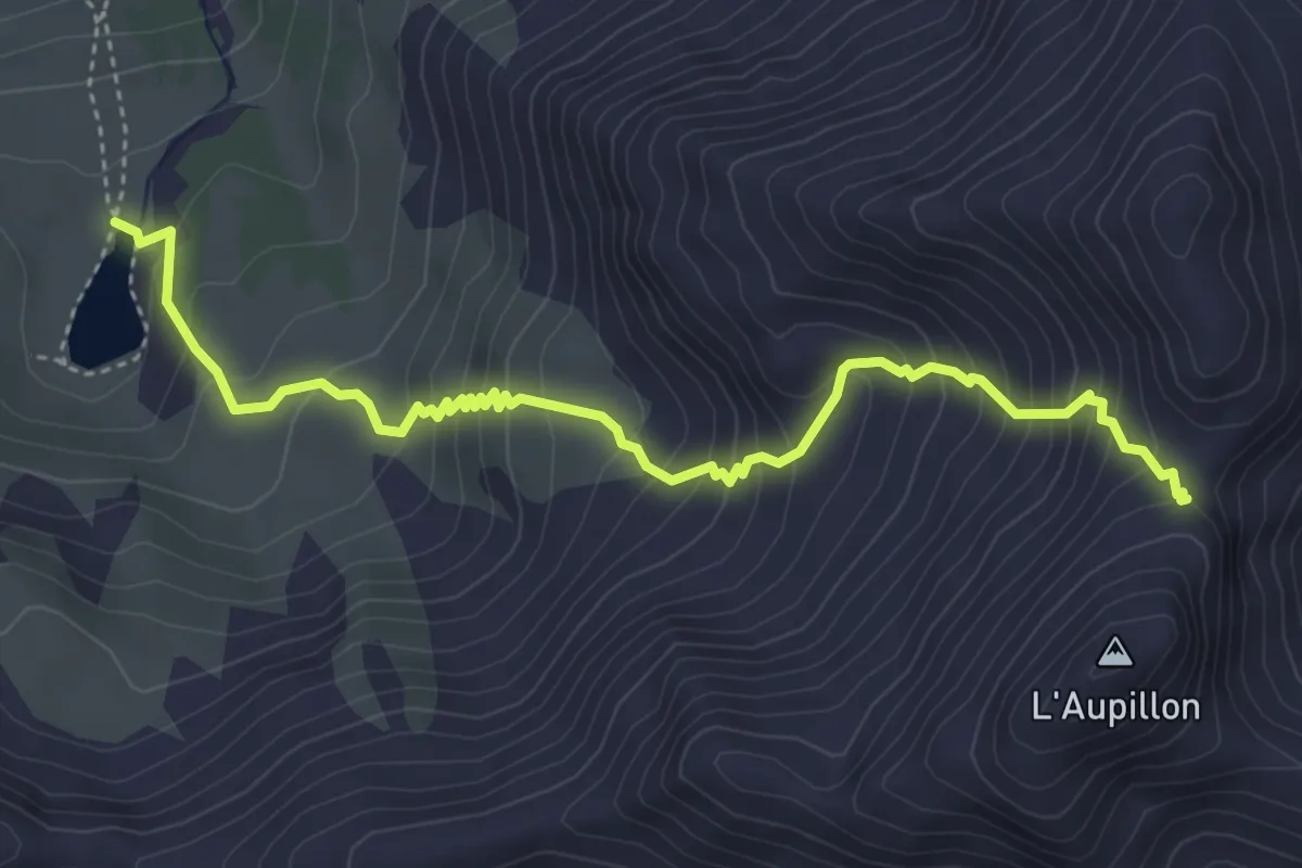
Medium · Trail
Col de l'Aupillon - Lac Ste Marguerite
4.9 km · ↑ 531 m · 2 h 18 min · 13 km away
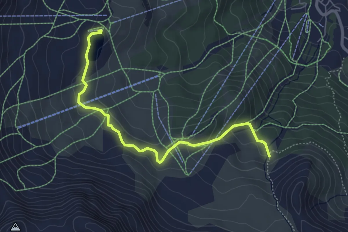
Easy · Trail
Lac de Chabrières - ?
5.3 km · ↑ 207 m · 1 h 42 min · 13 km away
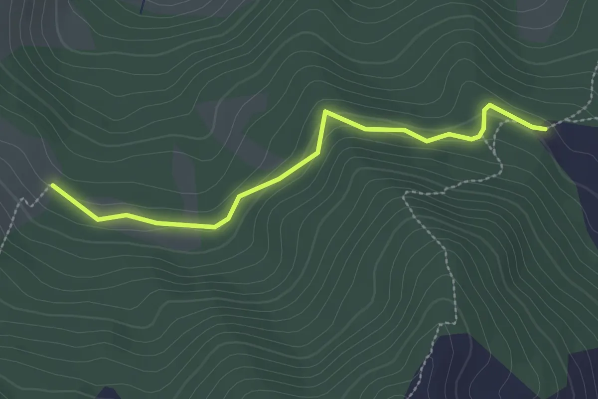
Easy · Trail
Cabane de Razis - Combe Chauvet
2.7 km · ↑ 87 m · 49 min · 13 km away
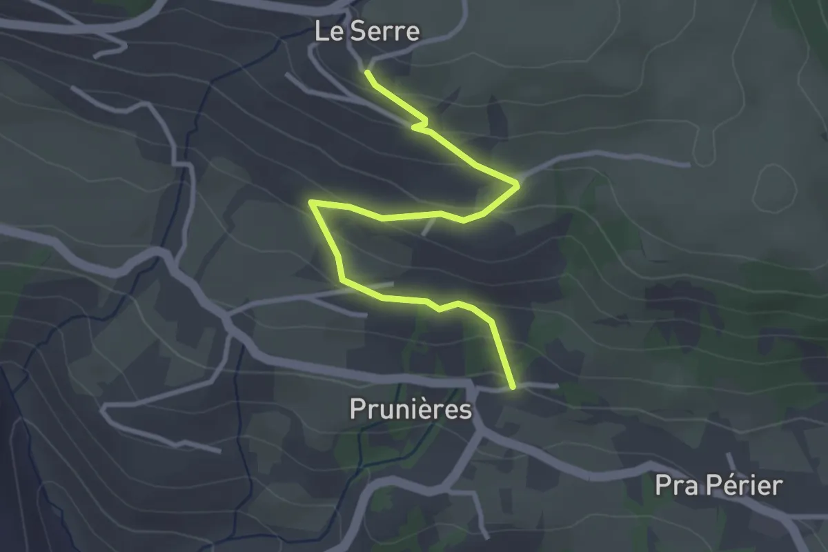
Easy · Trail
Prunières - Le Serre
3.2 km · ↑ 163 m · 1 h 7 min · 13 km away
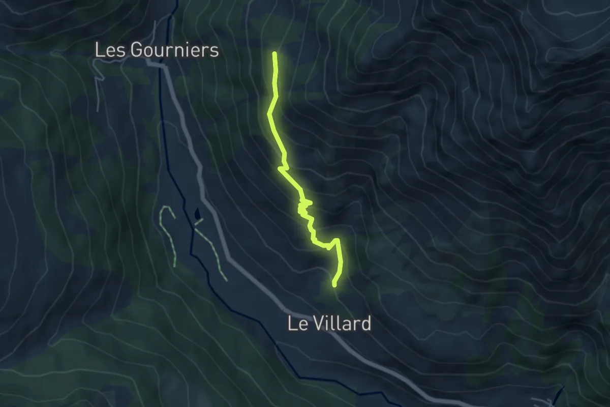
Medium · Trail
L'Oussella - ?
4.0 km · ↑ 360 m · 1 h 43 min · 13 km away
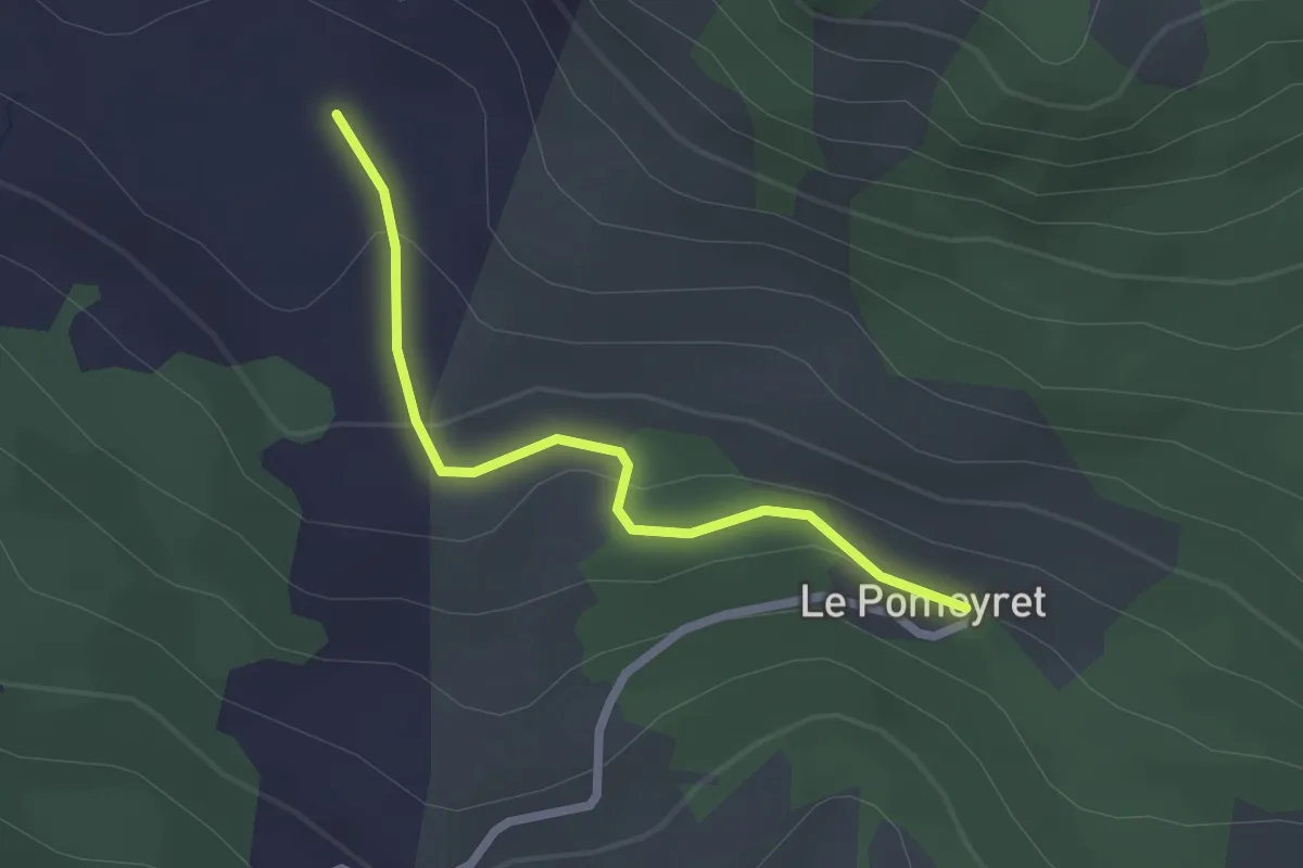
Easy · Trail
Le Pomeyret - Font Bénie
2.2 km · ↑ 61 m · 39 min · 14 km away
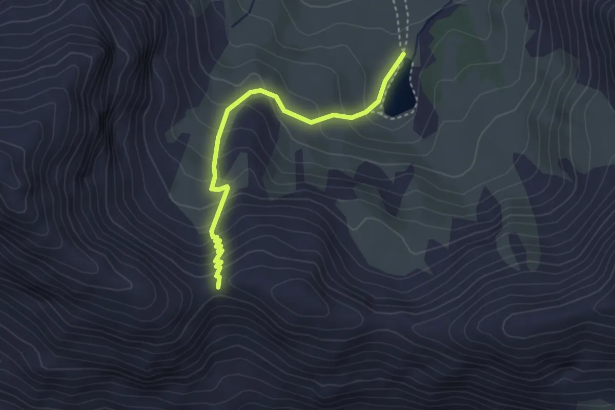
Easy · Trail
Col de l'Âne - Lac Ste Marguerite
3.4 km · ↑ 283 m · 1 h 24 min · 14 km away
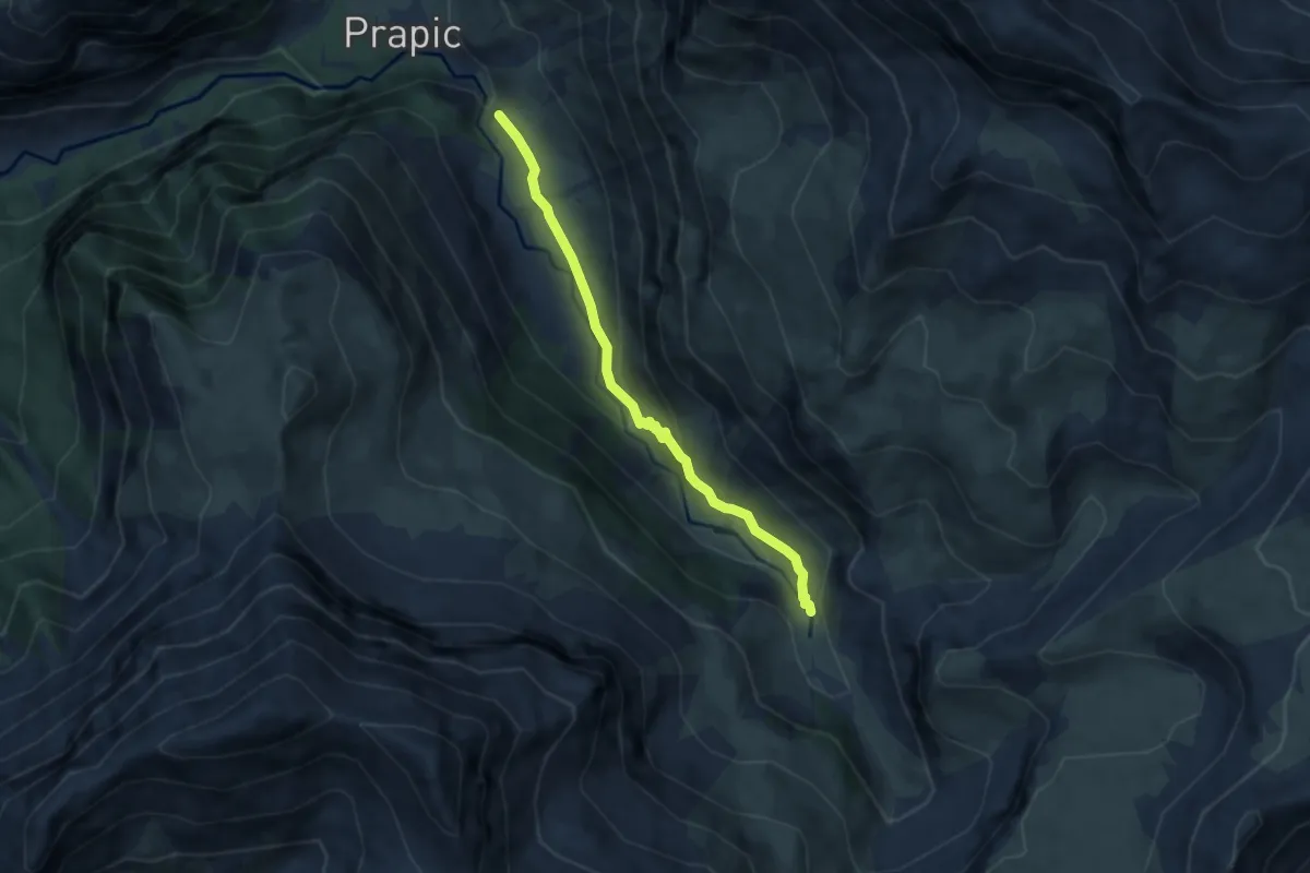
Medium · Trail
Saut du Laïre - ?
6.3 km · ↑ 301 m · 2 h 9 min · 14 km away