Trails near Excideuil
27 hikes starting within 15 km, nearest first.
Nearest first
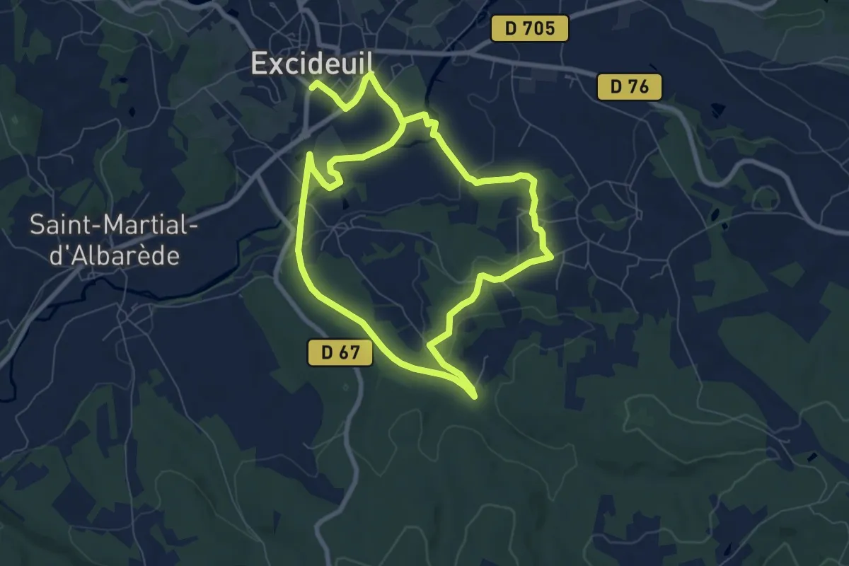
Easy · Trail
Boucle Pas de ma Mignone
7.2 km · ↑ 91 m · 1 h 59 min · 1 km away
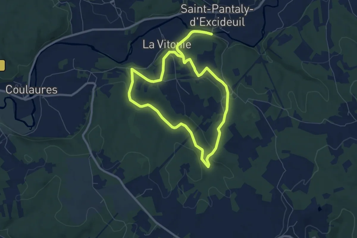
Easy · Trail
Boucle des Causses Verts
7.0 km · ↑ 145 m · 2 h 4 min · 4 km away
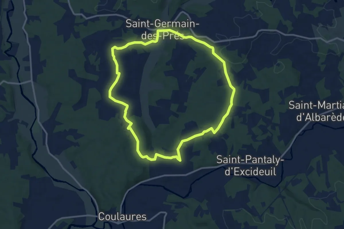
Medium · Trail
Boucle des Aviateurs
9.4 km · ↑ 153 m · 2 h 41 min · 6 km away
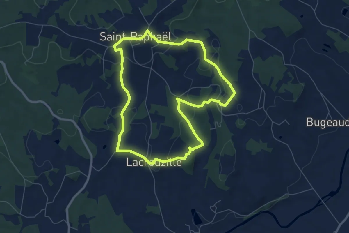
Easy · Trail
Boucle du Pontillou
6.4 km · ↑ 162 m · 1 h 58 min · 6 km away
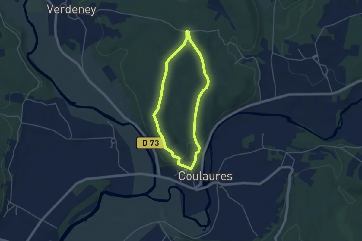
Easy · Trail
Boucle de la Forêt
3.3 km · ↑ 51 m · 56 min · 6 km away
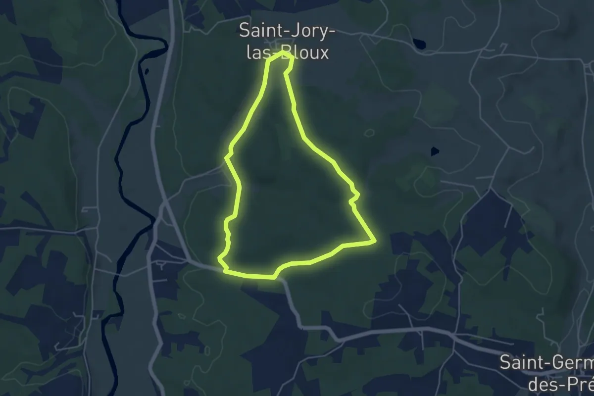
Easy · Trail
Boucle des Mines et Carrières
4.5 km · ↑ 78 m · 1 h 17 min · 7 km away
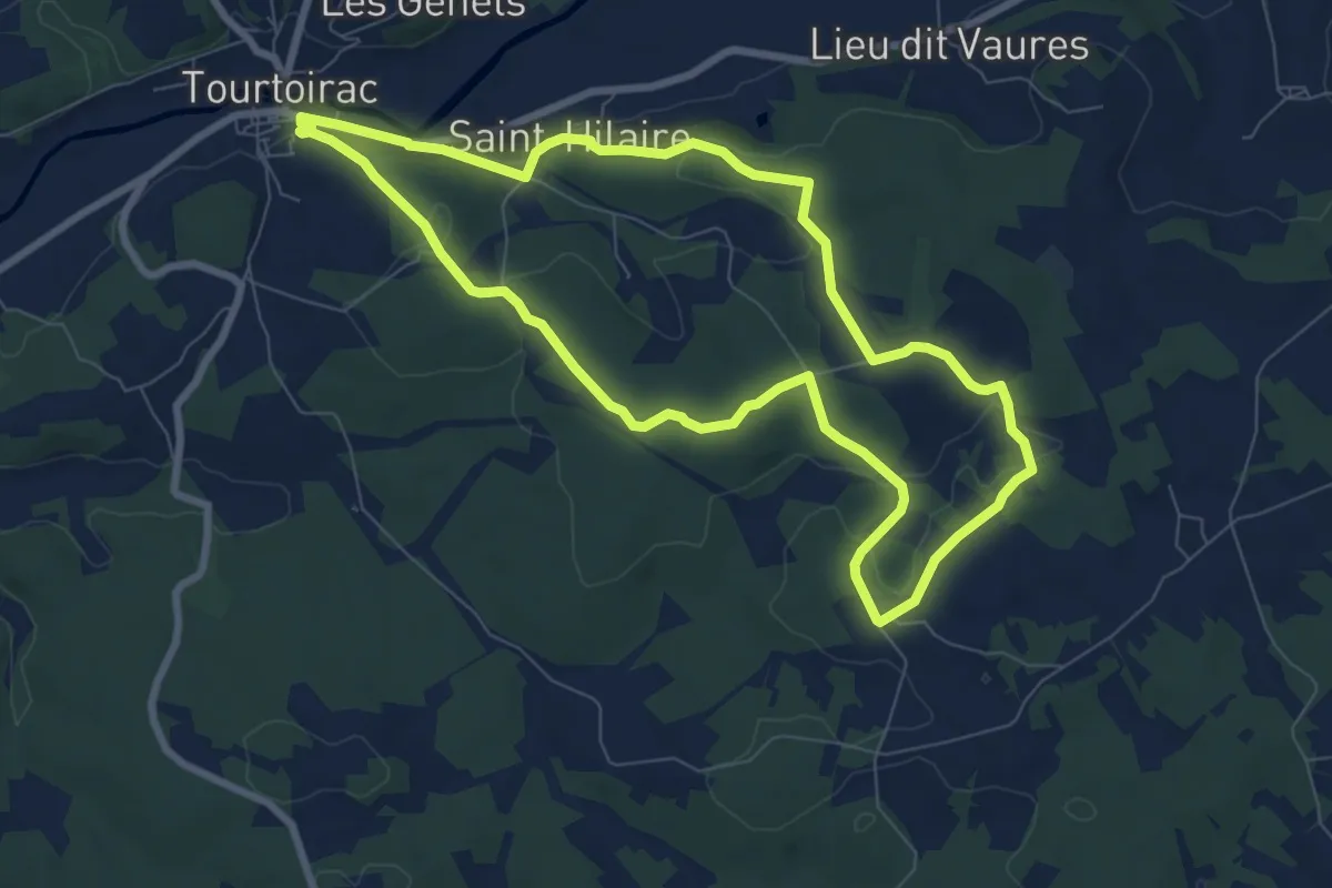
Medium · Trail
Boucle de Goursat
8.0 km · ↑ 142 m · 2 h 19 min · 7 km away
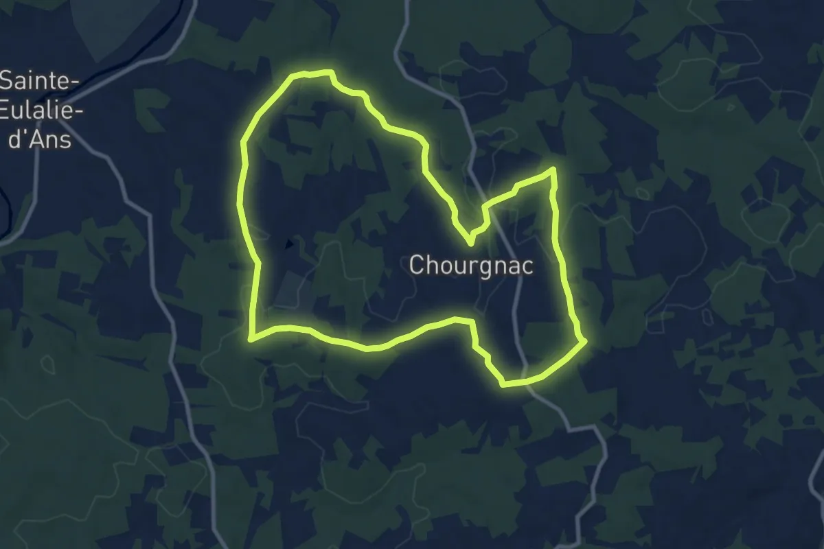
Medium · Trail
Boucle de Chourgnac d'ans
9.8 km · ↑ 153 m · 2 h 47 min · 10 km away
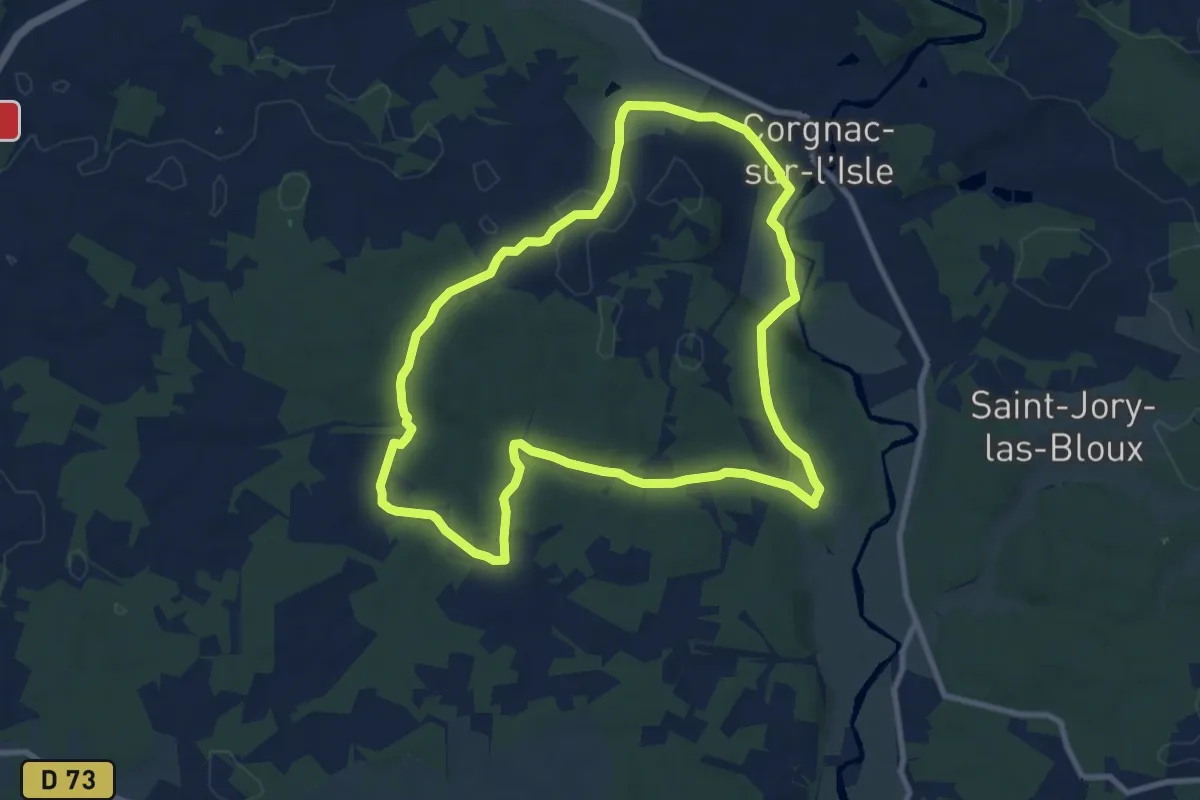
Medium · Trail
Boucle de Fontarnaud
9.5 km · ↑ 167 m · 2 h 44 min · 10 km away
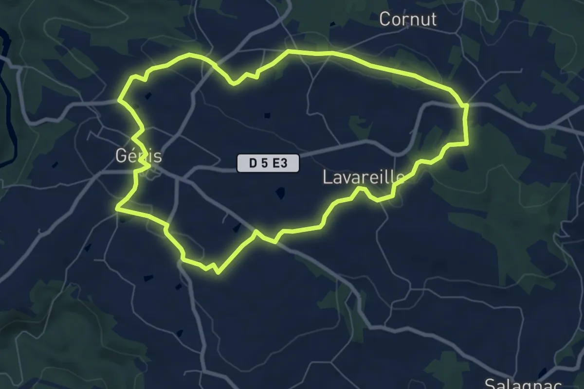
Easy · Summit
Boucle des Côteaux et des Gorges
7.5 km · ↑ 125 m · 2 h 8 min · 10 km away
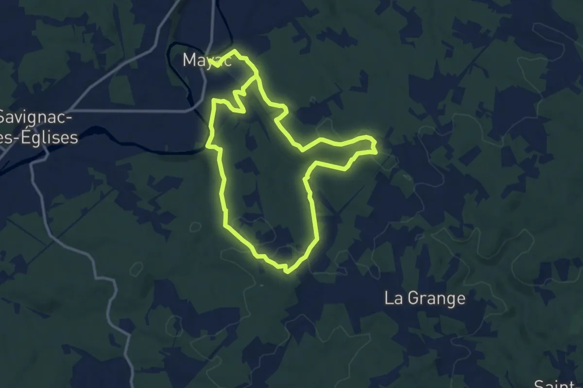
Demanding · Trail
Boucle des Chambrettes
18.9 km · ↑ 344 m · 5 h 12 min · 10 km away
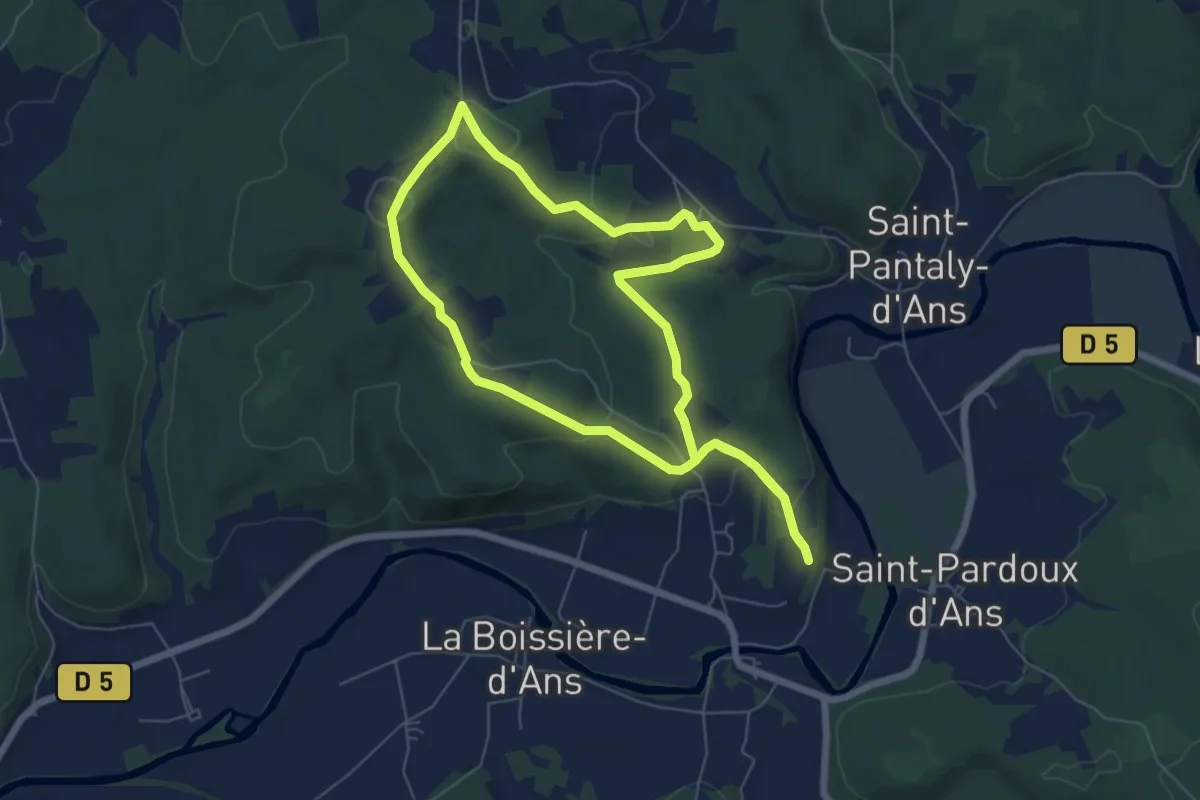
Easy · Trail
Boucle de Grattelouve
6.4 km · ↑ 120 m · 1 h 52 min · 11 km away
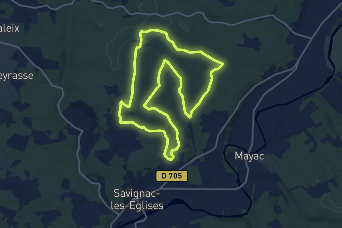
Medium · Trail
Boucle de Hache
10.4 km · ↑ 141 m · 2 h 54 min · 12 km away
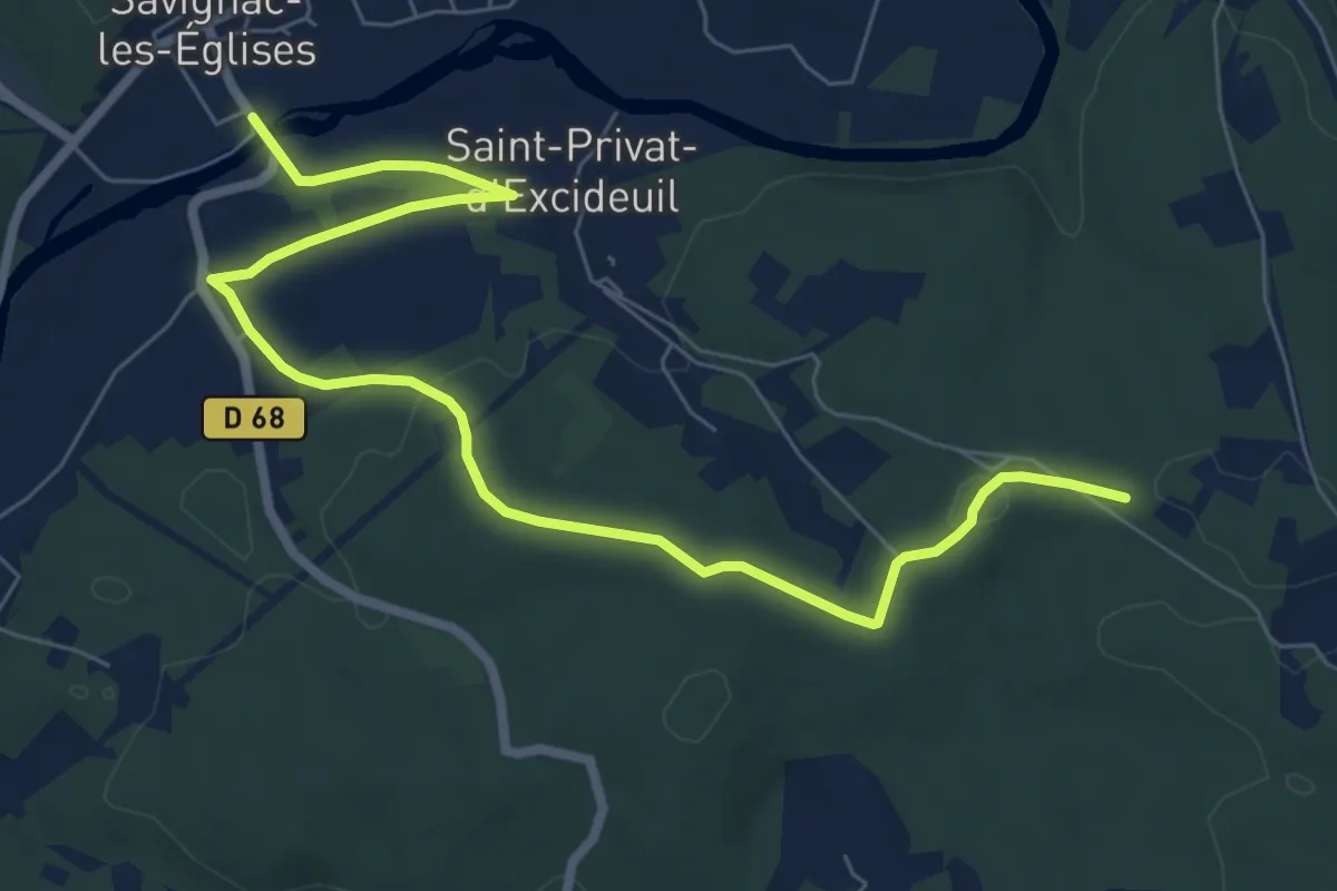
Medium · Trail
Liaison Mayac - Savignac-les-Eglises - Cubjac
9.0 km · ↑ 113 m · 2 h 22 min · 12 km away
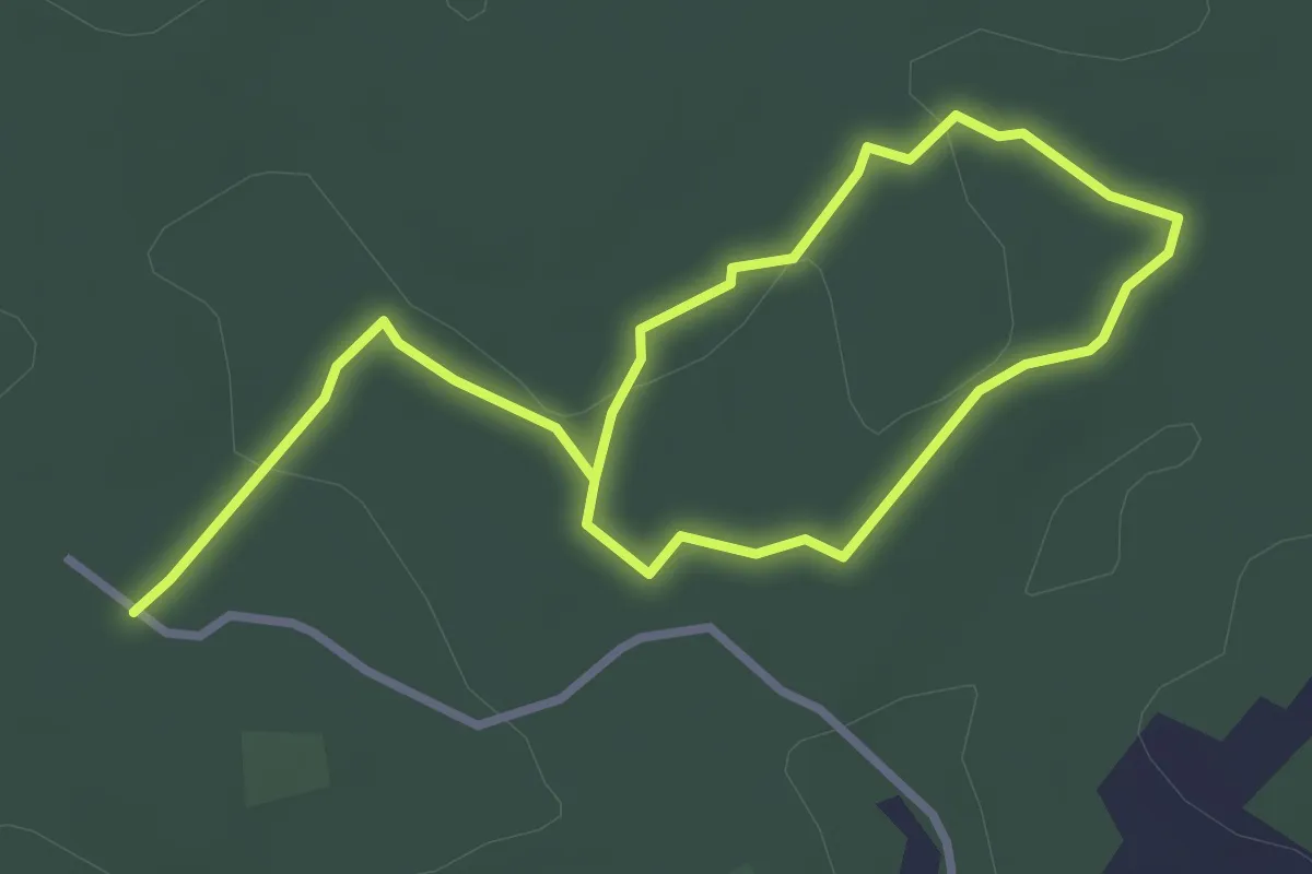
Easy · Trail
Sentier des cabanes (Sud)
4.9 km · ↑ 48 m · 1 h 16 min · 12 km away
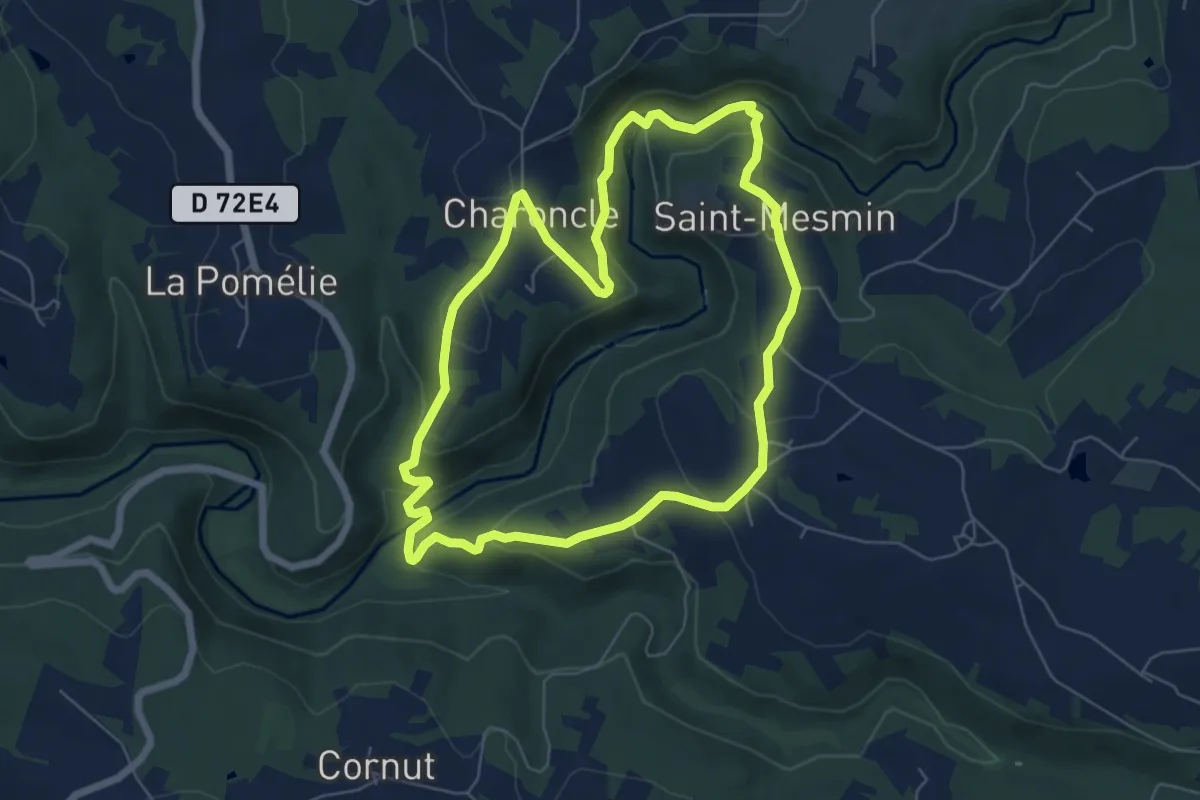
Easy · Trail
Boucle du Gabourat
6.3 km · ↑ 227 m · 2 h 5 min · 12 km away
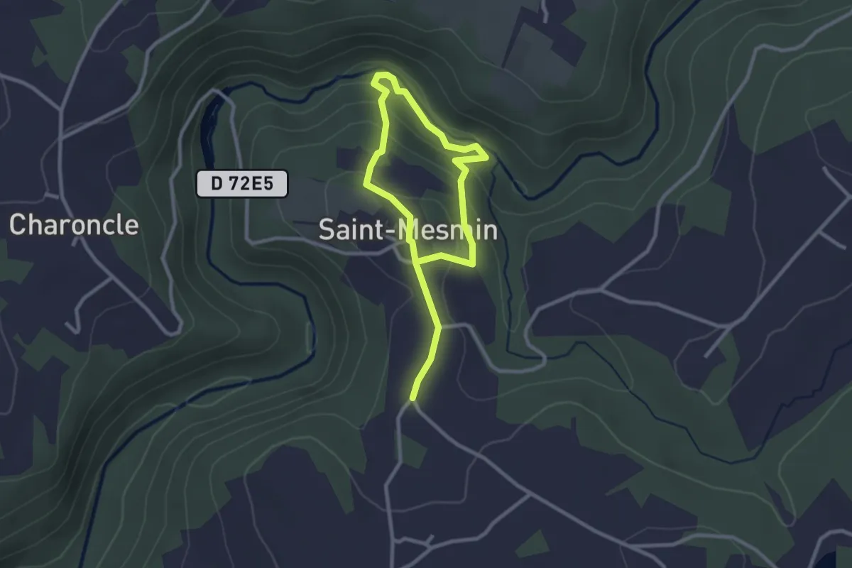
Easy · Trail
Boucle du Saut Ruban
3.9 km · ↑ 137 m · 1 h 13 min · 12 km away
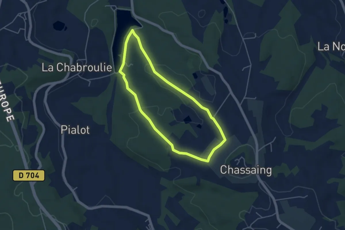
Easy · Trail
Boucle de l'Etang du Coucou
3.6 km · ↑ 71 m · 1 h 3 min · 13 km away
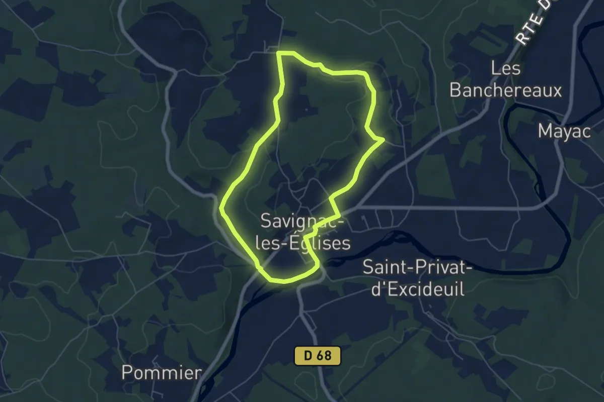
Easy · Trail
Boucle de la Nature
5.4 km · ↑ 54 m · 1 h 27 min · 13 km away
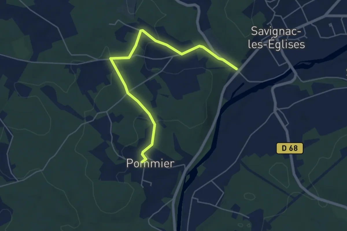
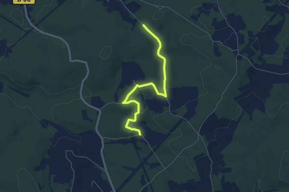
Easy · Trail
Liaison Savignac-les-Eglises - Boucle des Anciens Villages
5.2 km · ↑ 83 m · 1 h 24 min · 13 km away
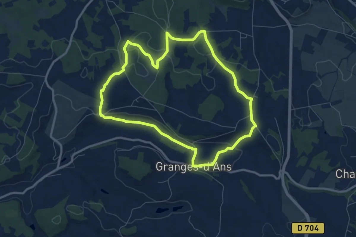
Easy · Trail
Liaison Mayac - Savignac-les-Eglises - Cubjac
5.7 km · ↑ 98 m · 1 h 34 min · 13 km away
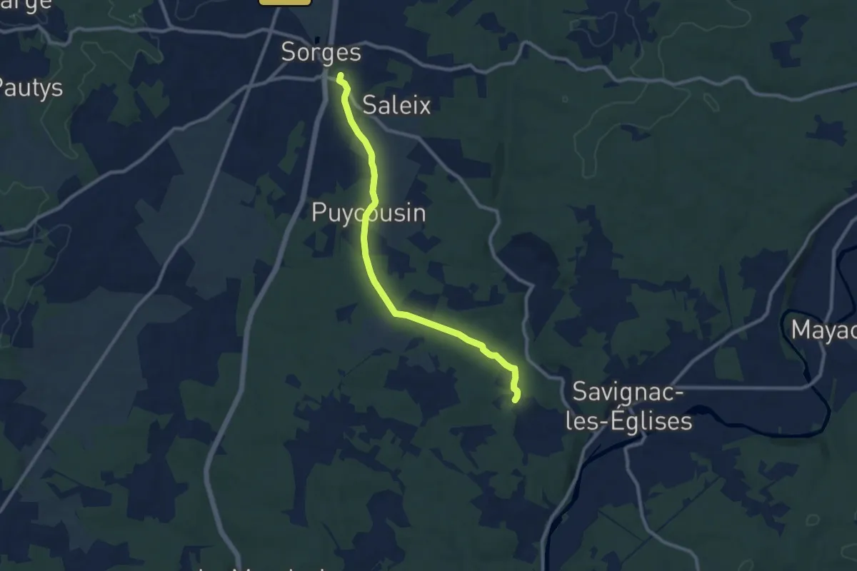
Easy · Trail
Boucle de Grange d'Ans Nord
7.1 km · ↑ 129 m · 2 h 3 min · 13 km away
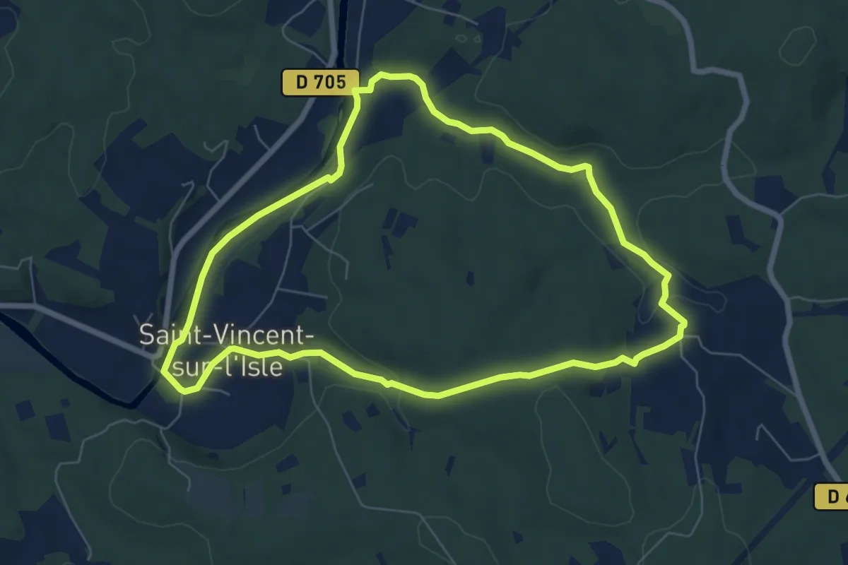
Medium · Trail
Liaison Savignac-les-Eglises - Sorges
9.2 km · ↑ 130 m · 2 h 28 min · 14 km away
Easy · Trail
Boucle de Garabaud
6.7 km · ↑ 96 m · 1 h 54 min · 14 km away
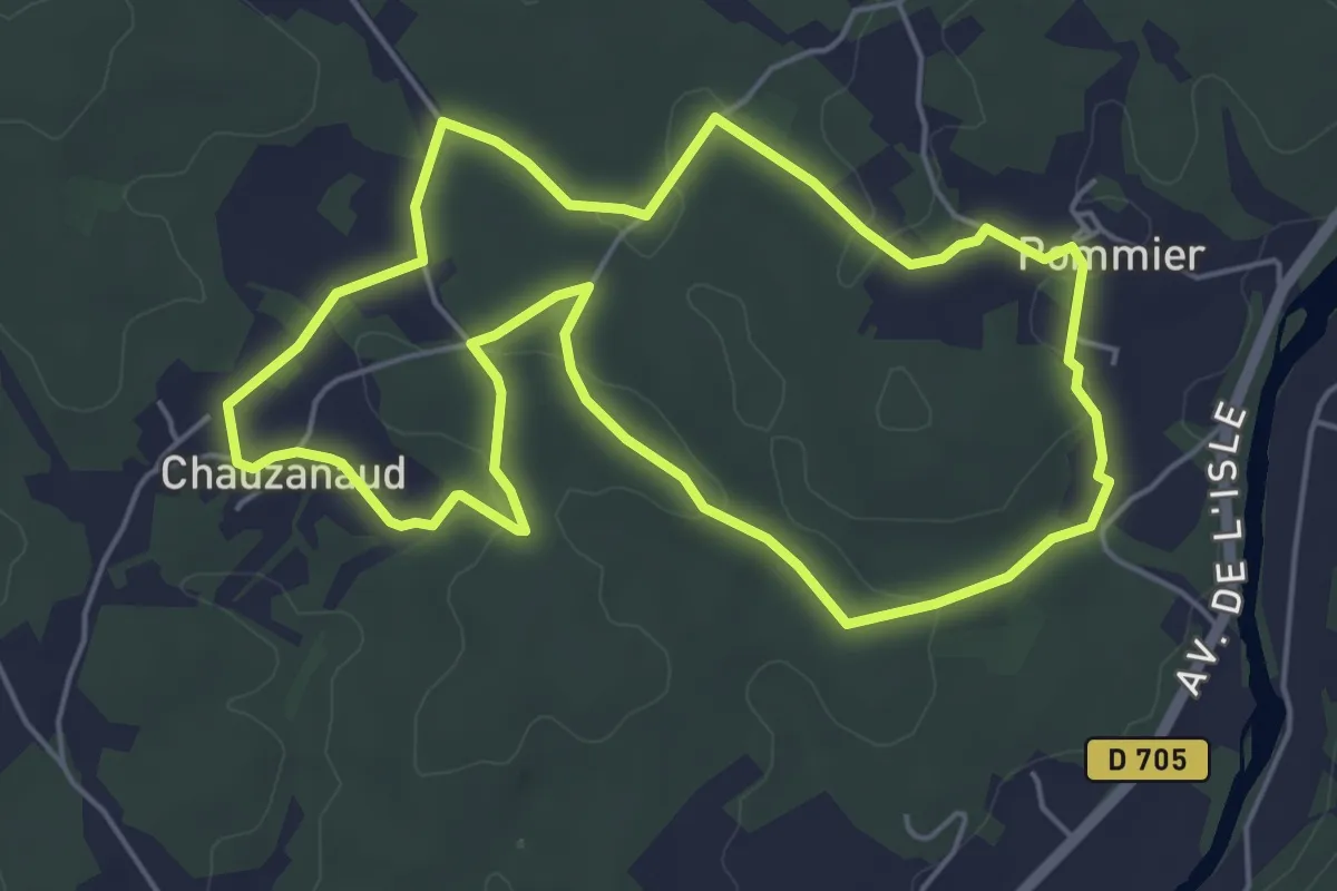
Easy · Trail
Boucle des Anciens Villages
5.5 km · ↑ 67 m · 1 h 31 min · 15 km away
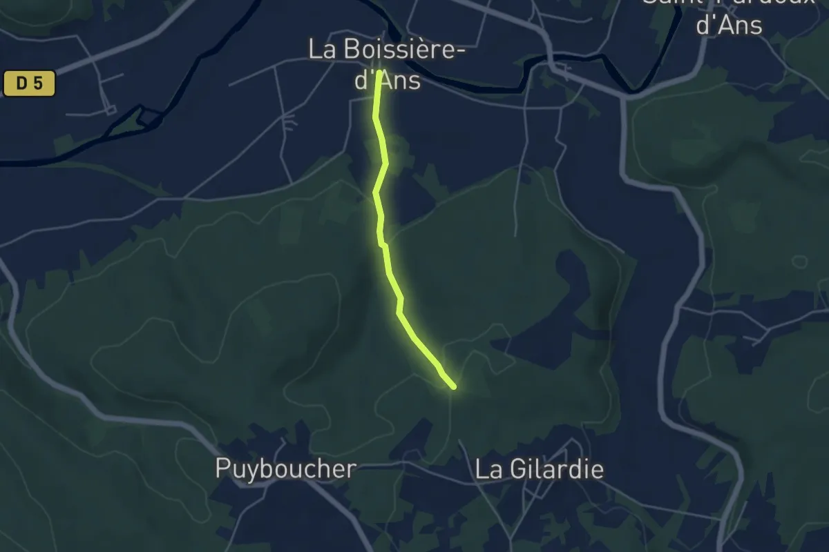
Easy · Trail
Variante boucle du Lac Blanc
1.7 km · ↑ 0 m · 28 min · 15 km away
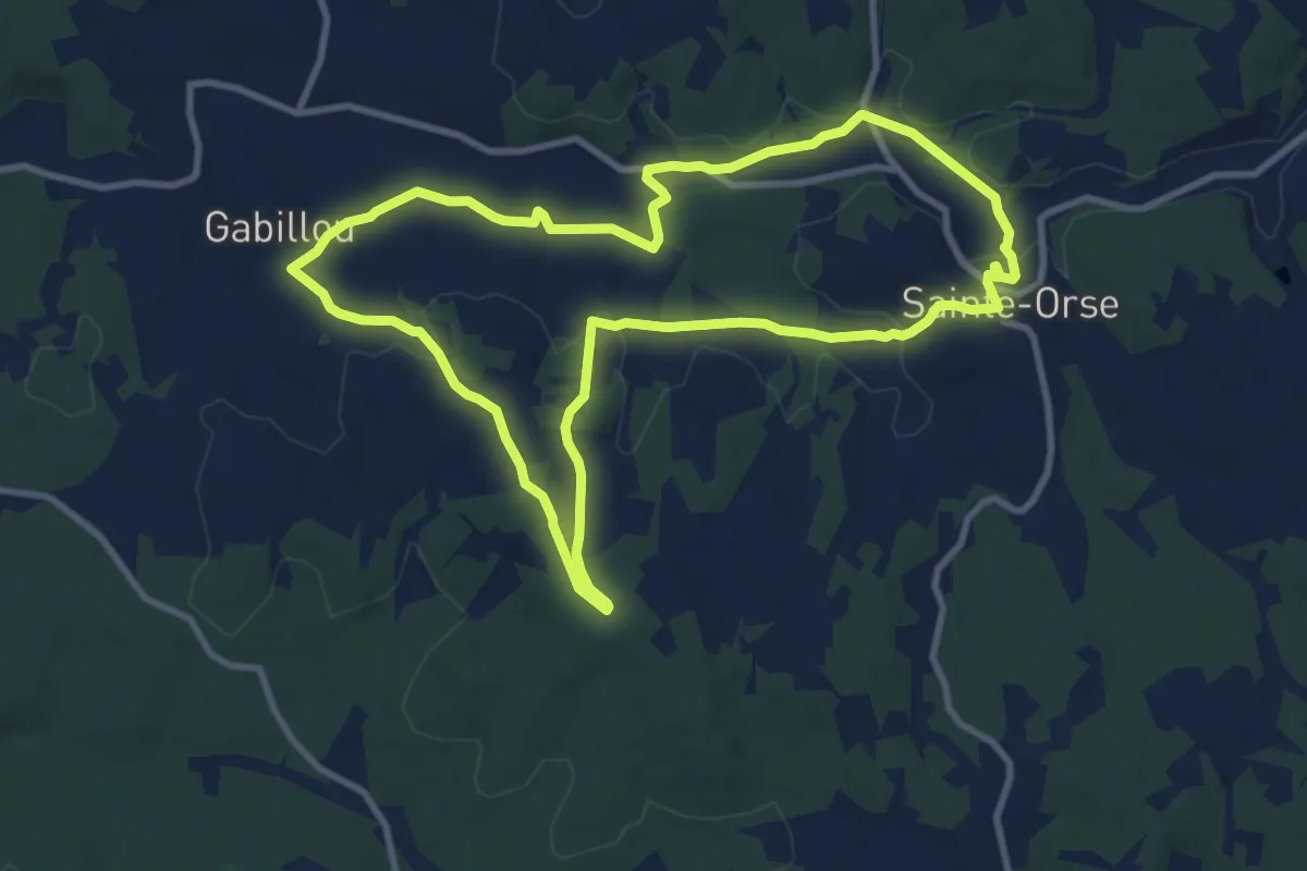
Medium · Trail
Boucle de Gabillou
10.2 km · ↑ 141 m · 2 h 52 min · 15 km away