Trails near Eybens
34 hikes starting within 15 km, nearest first.
Nearest first
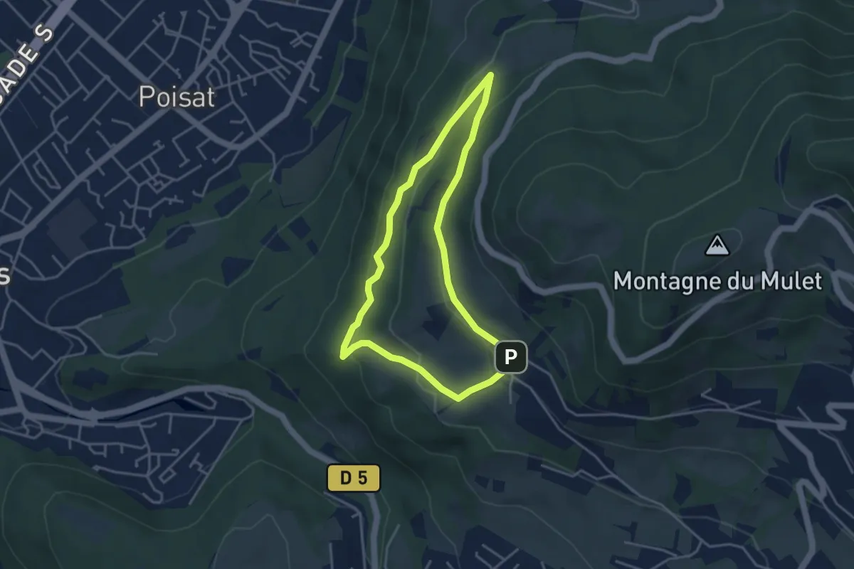
Medium · Trail
Balade d’Eybens à Romage
3.5 km · ↑ 144 m · 1 h 11 min · 2 km away
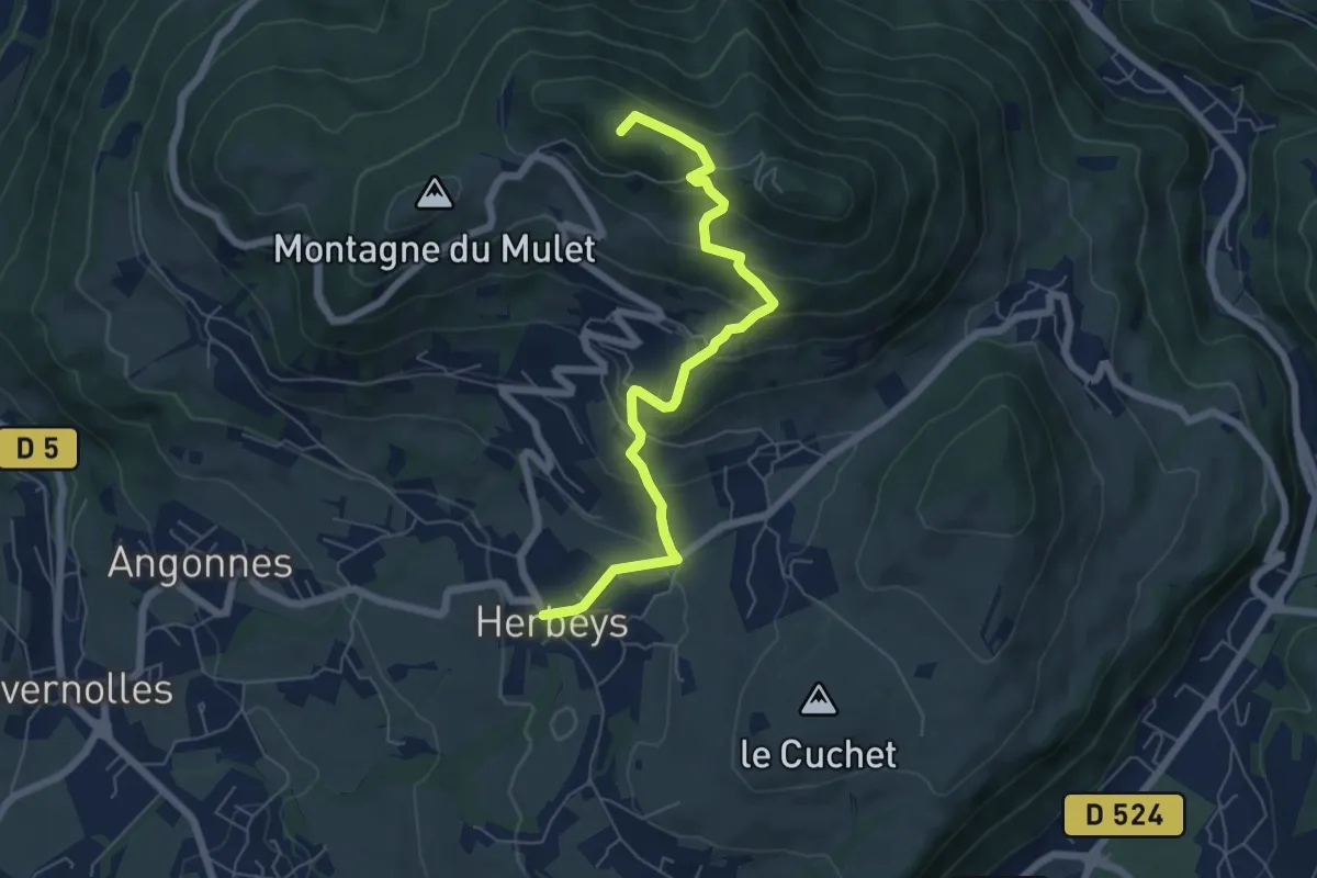
Medium · Summit
Les Quatre Seigneurs
6.5 km · ↑ 383 m · 2 h 22 min · 4 km away
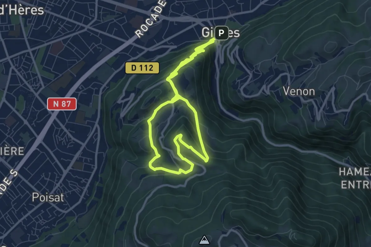
Medium · Summit
De Gières au col du Gourlu
9.4 km · ↑ 500 m · 3 h 21 min · 5 km away
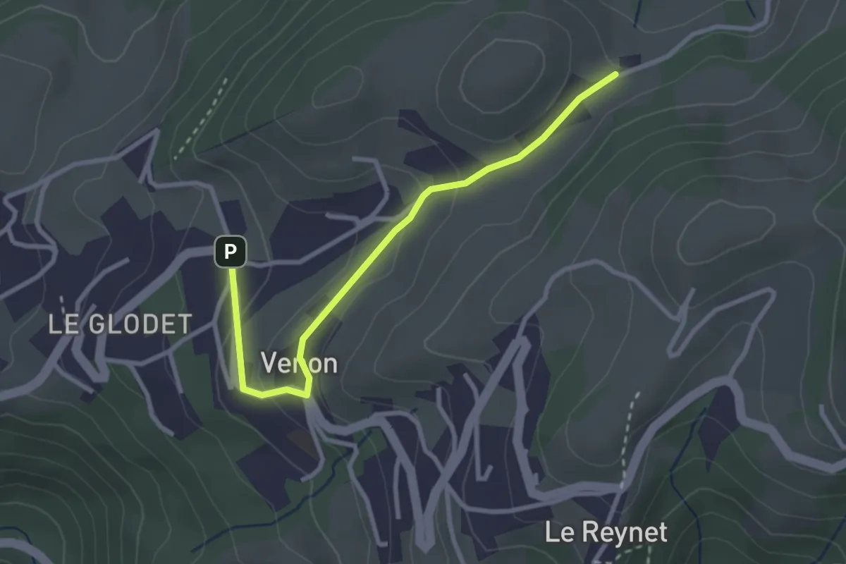
Easy · Trail
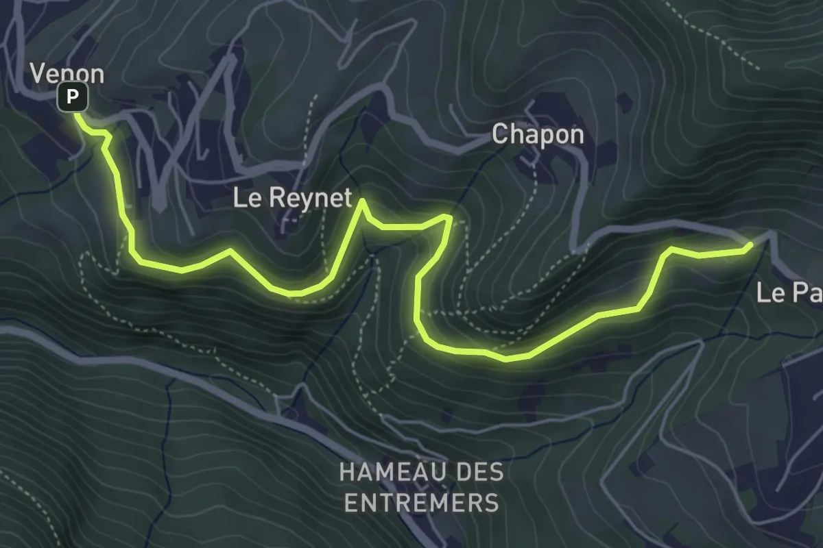
Boucle De Panama
1.5 km · ↑ 94 m · 32 min · 5 km away
Easy · Trail
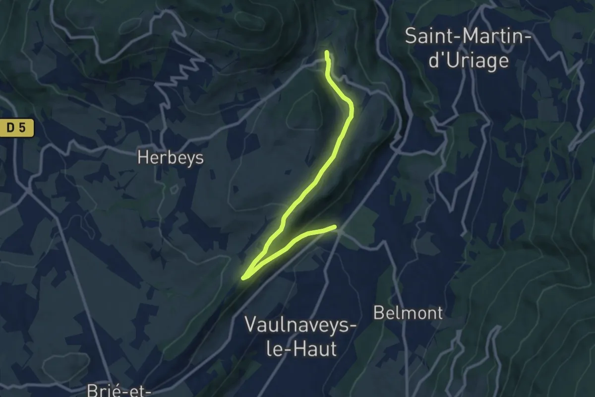
Boucle Des Cochettes
3.3 km · ↑ 270 m · 1 h 20 min · 5 km away
Medium · Trail
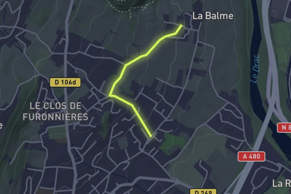
Circuit des Crêtes
4.5 km · ↑ 51 m · 1 h 18 min · 5 km away
Easy · Trail
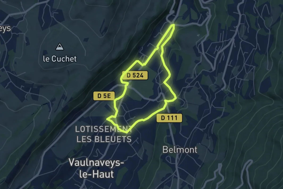
La Balme - Les Perouses
2.4 km · ↑ 90 m · 46 min · 6 km away
Easy · Trail
Circuit des Curistes
4.8 km · ↑ 112 m · 1 h 27 min · 6 km away
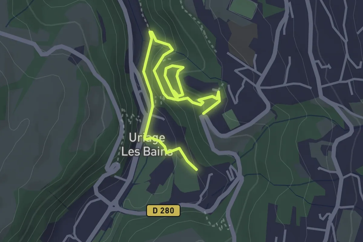
Medium · Trail
Circuit des Remparts
2.2 km · ↑ 91 m · 46 min · 7 km away
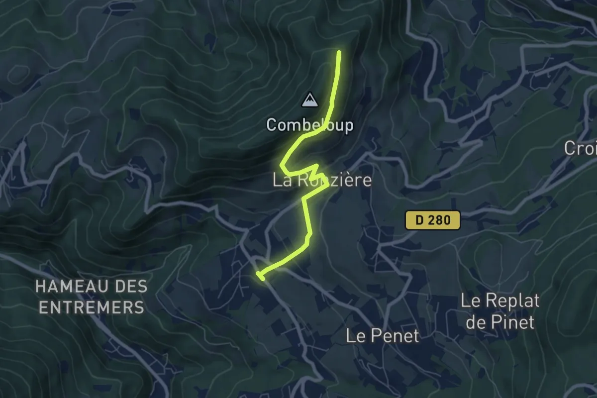
Medium · Trail
Balcon de Combeloup
2.9 km · ↑ 280 m · 1 h 13 min · 7 km away
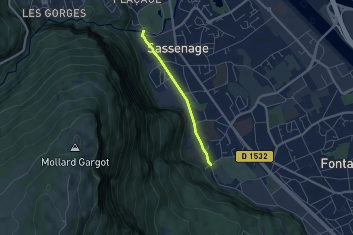
Easy · Trail
Sassenage Village
3.6 km · ↑ 19 m · 53 min · 8 km away
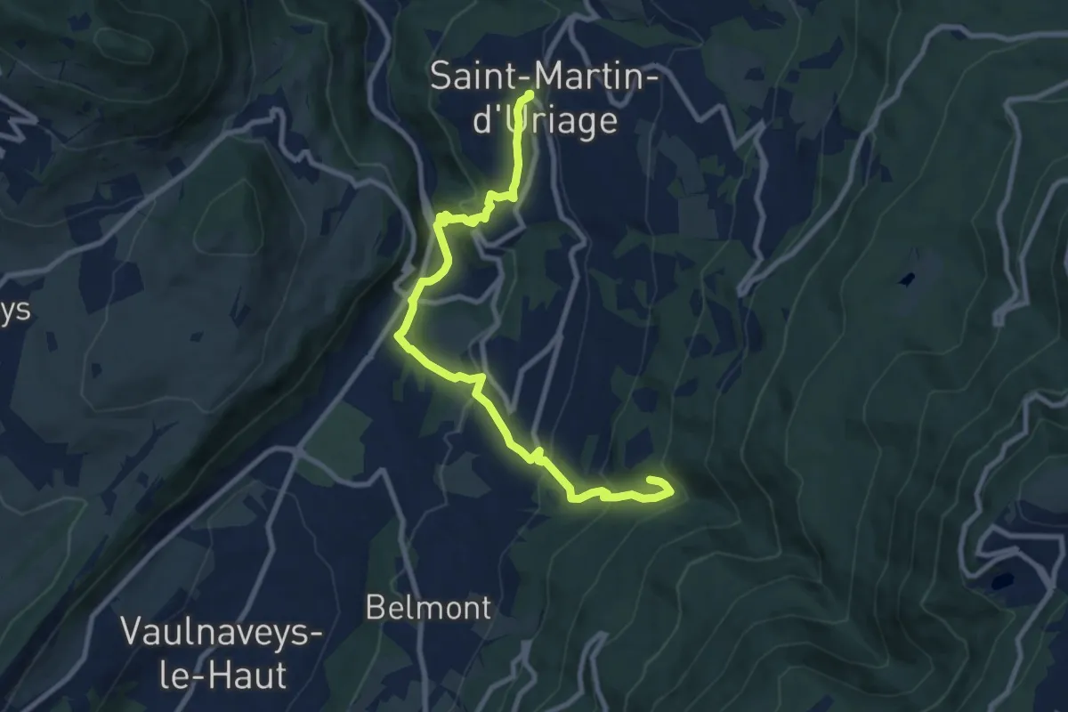
Medium · Trail
Circuit du Bit
10.0 km · ↑ 565 m · 3 h 35 min · 8 km away
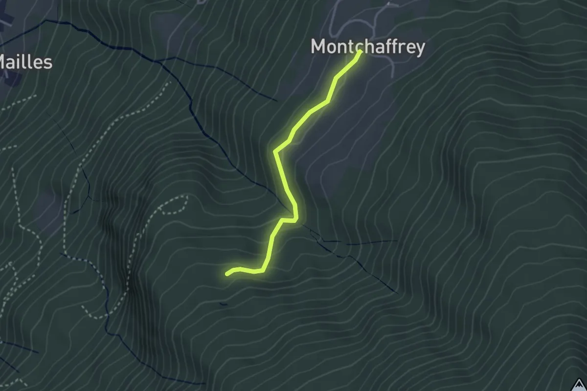
Easy · Trail
Montchaffey – Chenevier
2.8 km · ↑ 102 m · 52 min · 8 km away
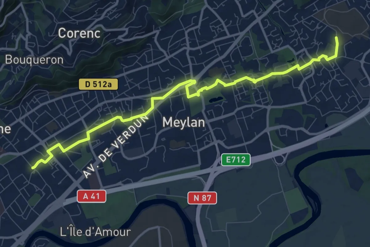
Medium · Trail
Grande Traverse de Meylan
11.1 km · ↑ 105 m · 2 h 51 min · 9 km away
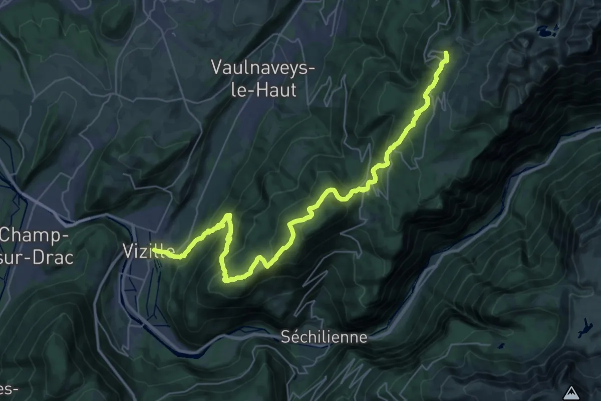
Demanding · Trail
La Haute Traversée de Belledonne - Etape 11
16.9 km · ↑ 1694 m · 7 h 12 min · 9 km away
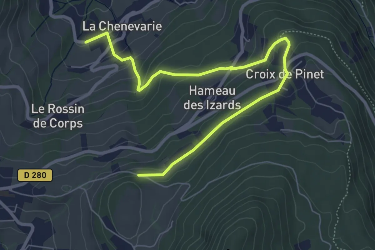
Easy · Trail
Circuit des Écoliers
6.9 km · ↑ 268 m · 2 h 13 min · 9 km away
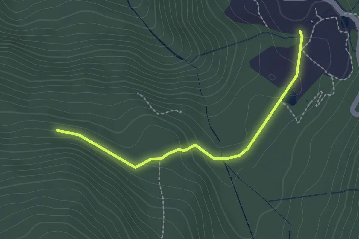
Easy · Trail
Chartreuse de Prémol – Fontaine du Mulet
2.2 km · ↑ 74 m · 41 min · 9 km away
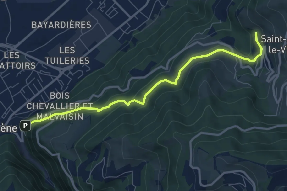
Medium · Trail
Circuit de la Monta
7.0 km · ↑ 367 m · 2 h 27 min · 9 km away
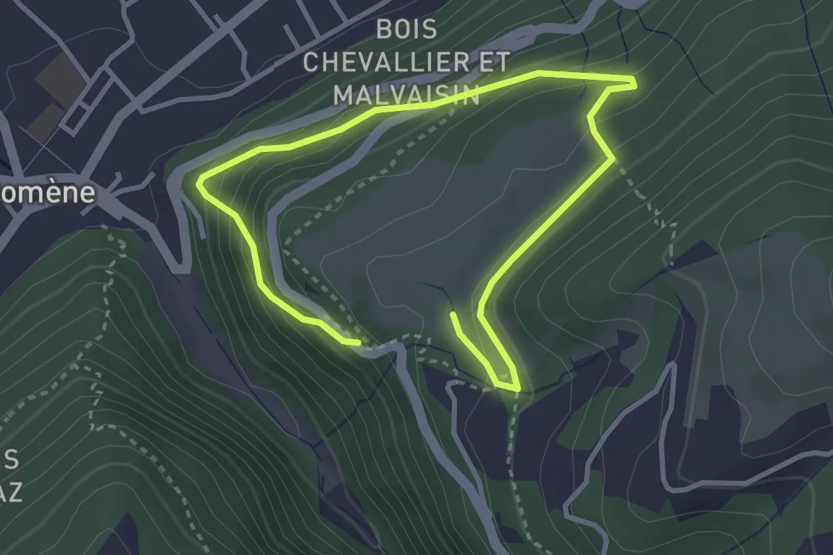
Medium · Trail
Circuit de Beauregard
2.3 km · ↑ 211 m · 1 h 1 min · 9 km away
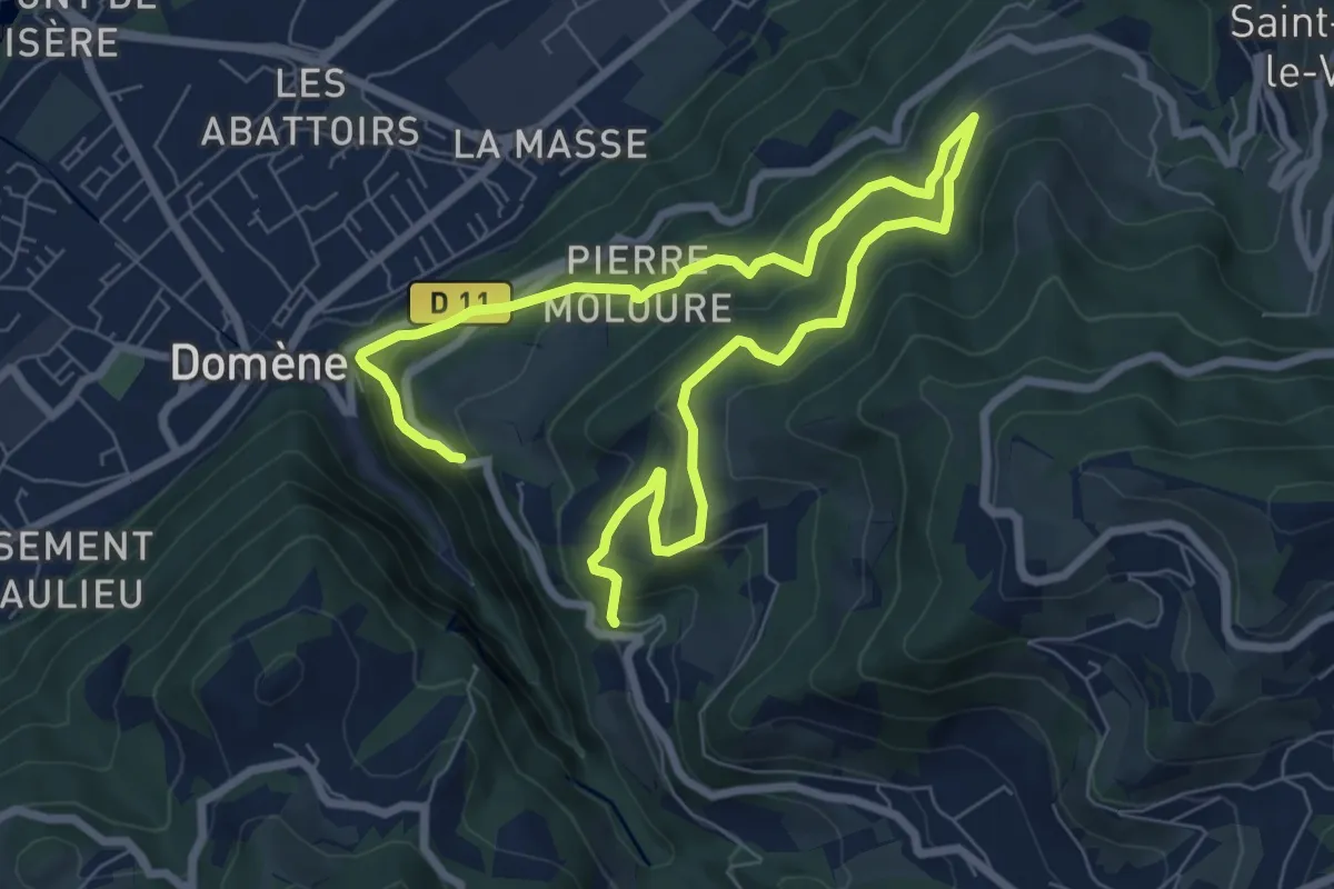
Medium · Trail
La Tour de Revel (par le Mollard)
5.7 km · ↑ 441 m · 2 h 20 min · 9 km away
Easy · Trail
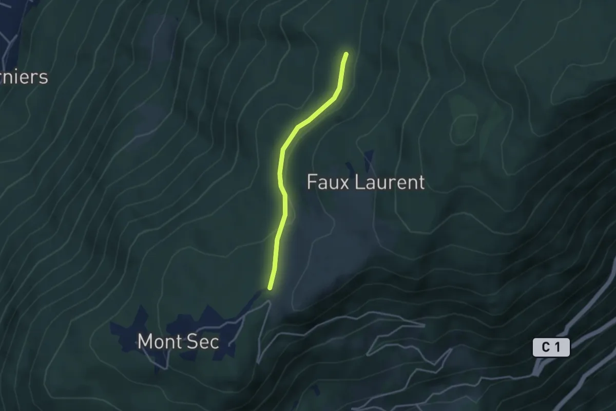
Pléney – La Croisée
2.9 km · ↑ 51 m · 48 min · 9 km away
Demanding · Trail
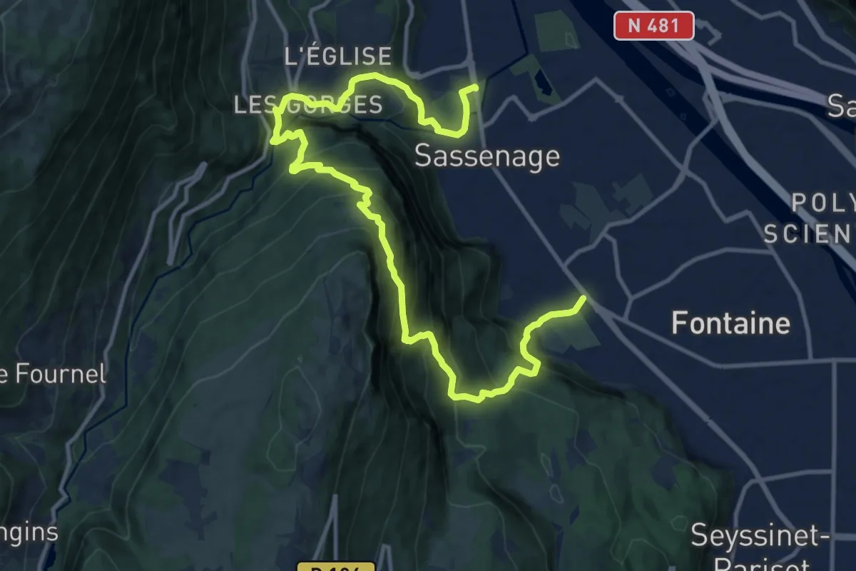
Traversée de la ferme Durand
15.7 km · ↑ 1428 m · 6 h 47 min · 9 km away
Easy · Trail
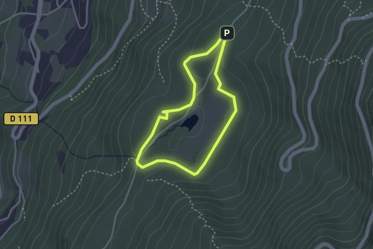
Circuit du Marais
2.5 km · ↑ 77 m · 48 min · 10 km away
Medium · Trail
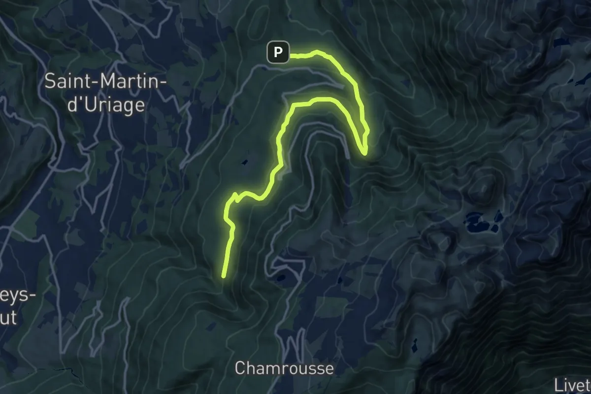
Circuit des Gardes
8.1 km · ↑ 326 m · 2 h 39 min · 10 km away
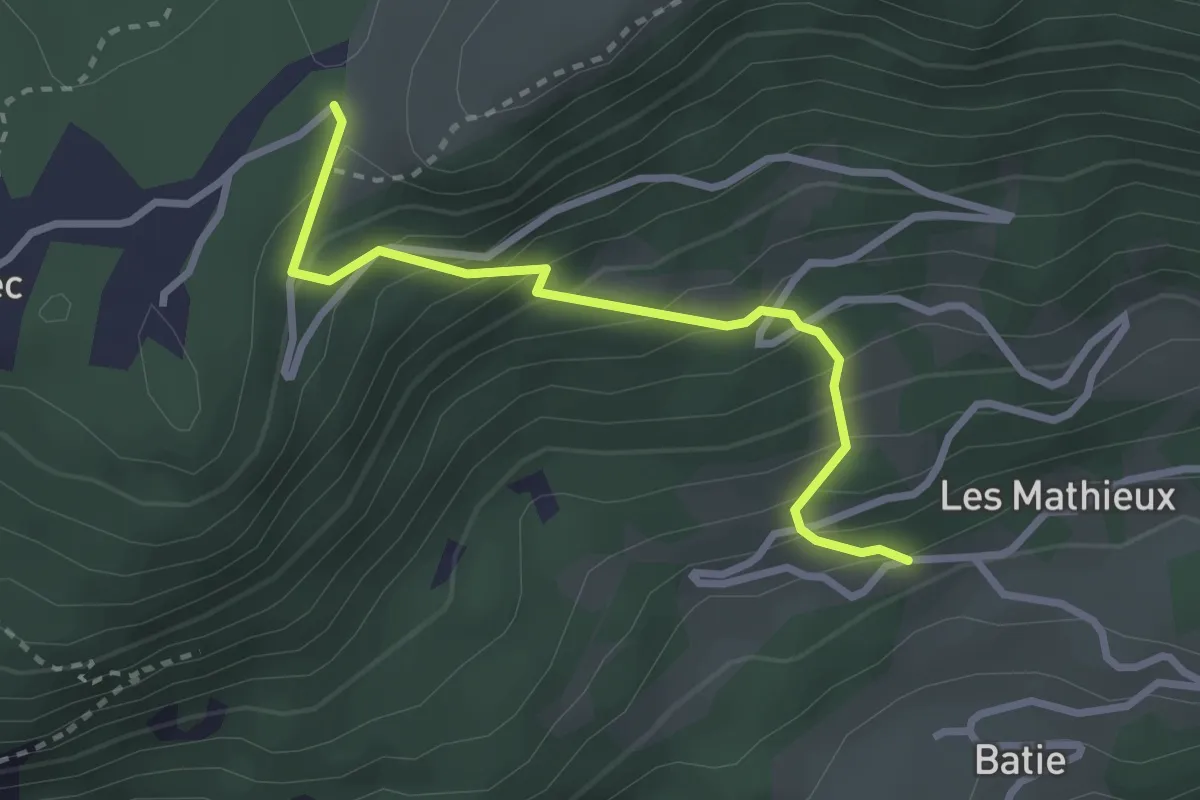
Easy · Trail
La Madeleine – Les Thiébauds
2.8 km · ↑ 301 m · 1 h 19 min · 10 km away
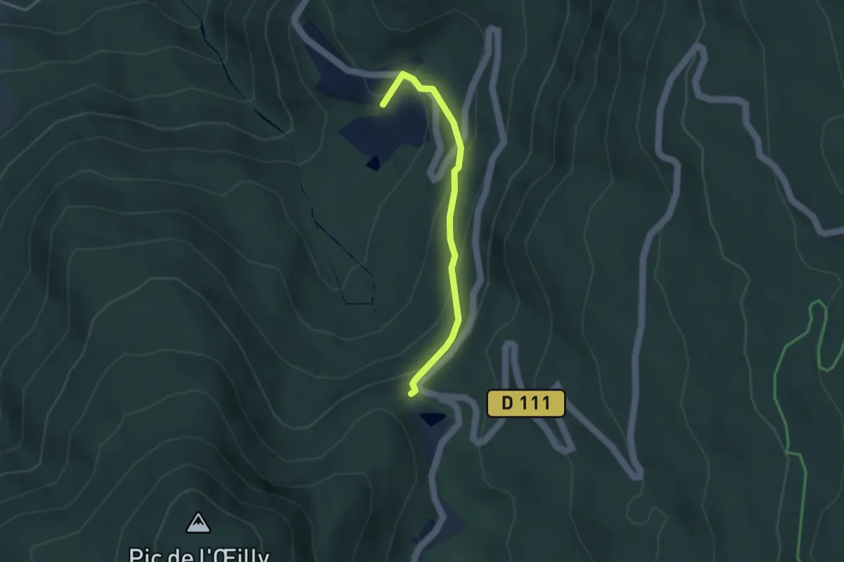
Medium · Trail
L'Exutoire – Chartreuse de Prémol
2.9 km · ↑ 173 m · 1 h 4 min · 10 km away
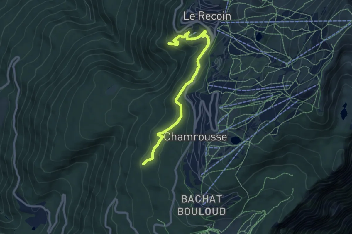
Easy · Trail
Circuit des Fougères
6.8 km · ↑ 291 m · 2 h 14 min · 10 km away
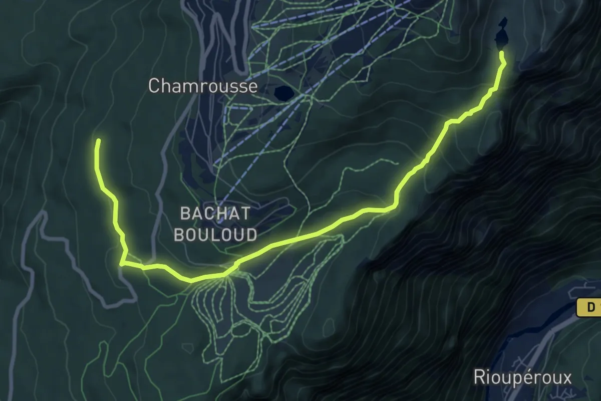
Medium · Trail
Forets et Lacs d'Uriage à Chamrousse
9.0 km · ↑ 386 m · 2 h 57 min · 10 km away
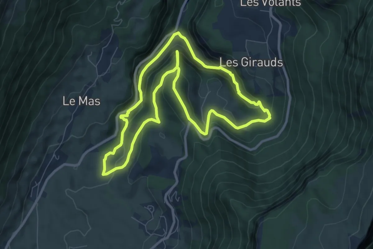
Medium · Trail
Le vallon du Bruyant
7.6 km · ↑ 474 m · 2 h 55 min · 11 km away
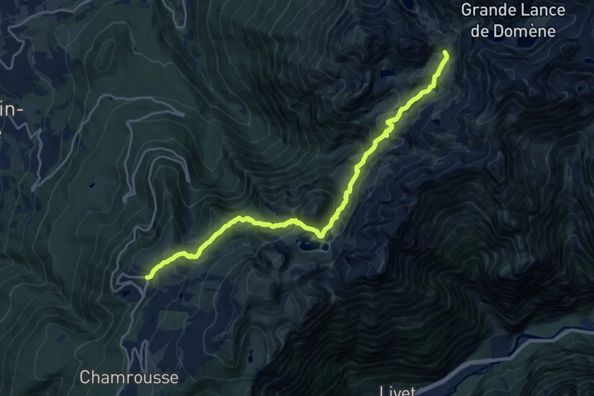
Demanding · Cabin
La Haute Traversée de Belledonne - Etape 10
16.6 km · ↑ 1172 m · 6 h 27 min · 11 km away
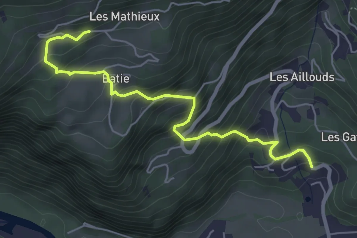
Medium · Trail
Les Thiébauds – Château Alleman
5.2 km · ↑ 443 m · 2 h 11 min · 12 km away
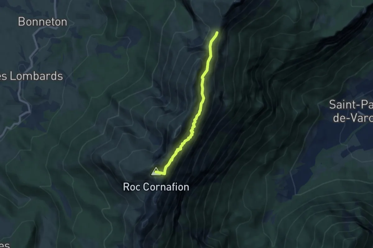
Demanding · Summit
Sentier des deux cols
5.9 km · ↑ 590 m · 2 h 41 min · 13 km away
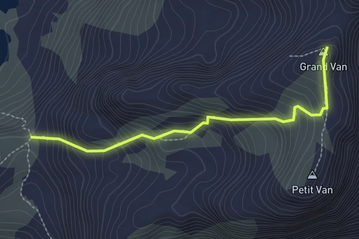
Demanding · Summit
Col des Lessines - Les Vannes
2.4 km · ↑ 328 m · 1 h 16 min · 14 km away
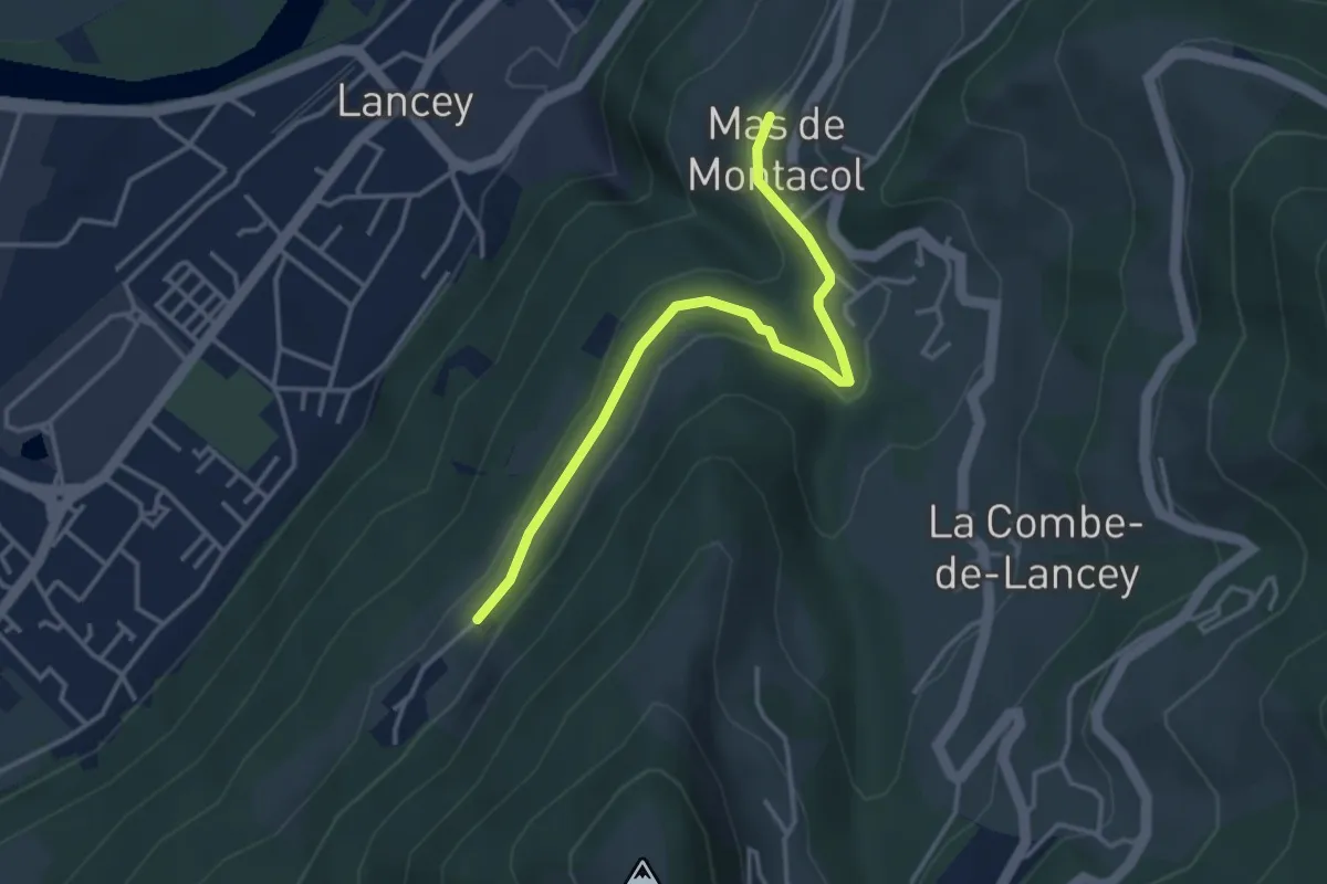
Easy · Trail
Chemin de Découverte (boucle Basse)
1.8 km · ↑ 72 m · 36 min · 14 km away