Trails near Figeac
20 hikes starting within 15 km, nearest first.
Nearest first
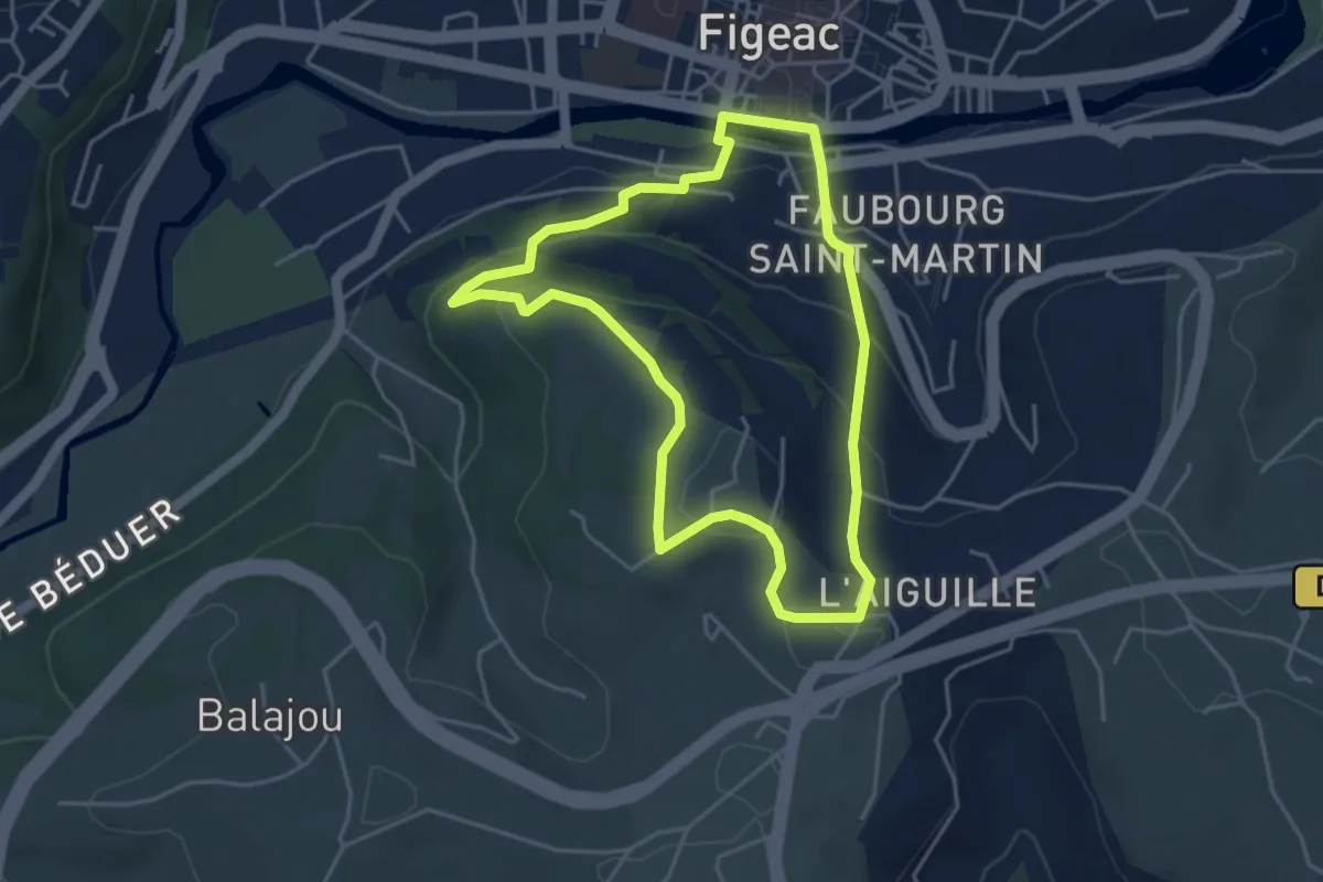
Easy · Trail
L' Aiguille du Pressoir
4.3 km · ↑ 176 m · 1 h 27 min · under 1 km away
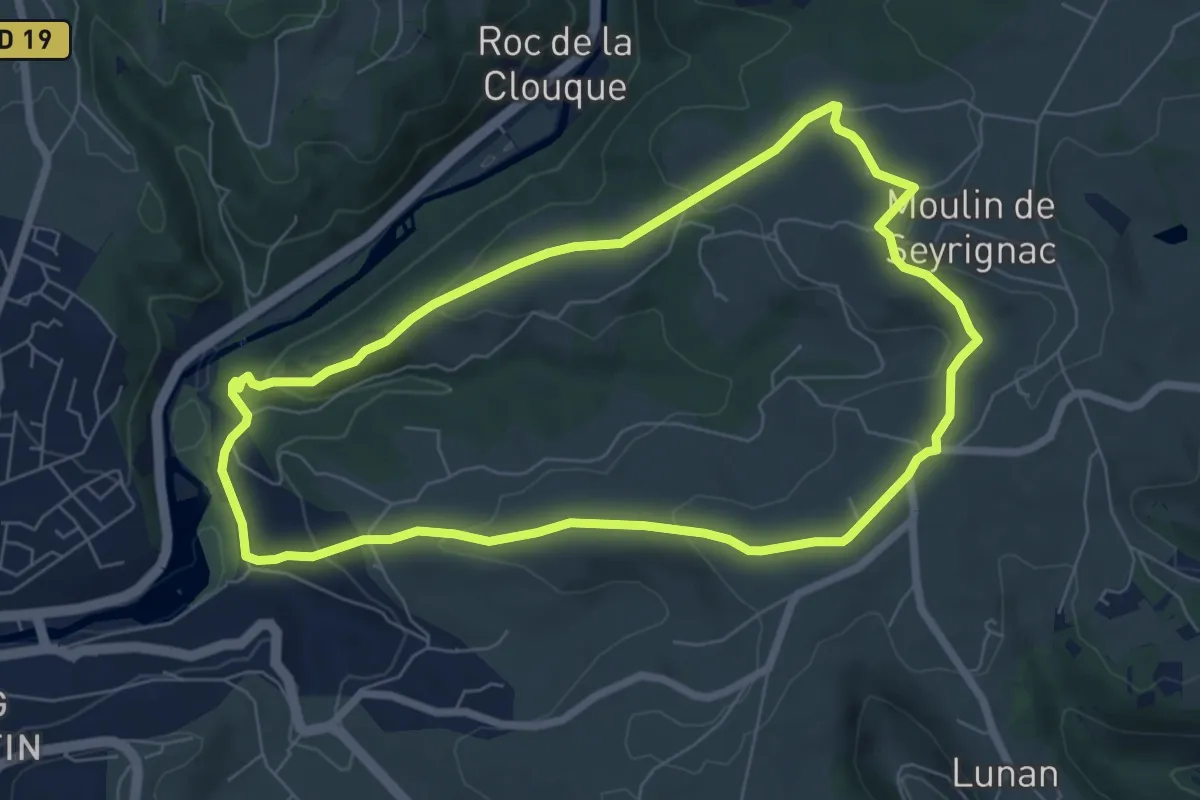
Easy · Trail
Le circuit de Seyrignac
7.1 km · ↑ 204 m · 2 h 13 min · 2 km away
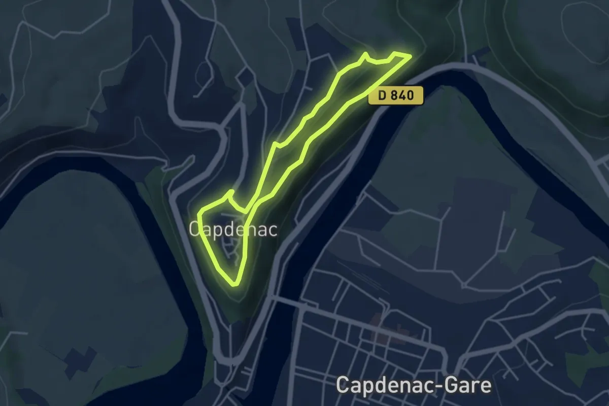
Easy · Trail
Circuit de la cité de Capdenac
3.4 km · ↑ 97 m · 1 h 4 min · 4 km away
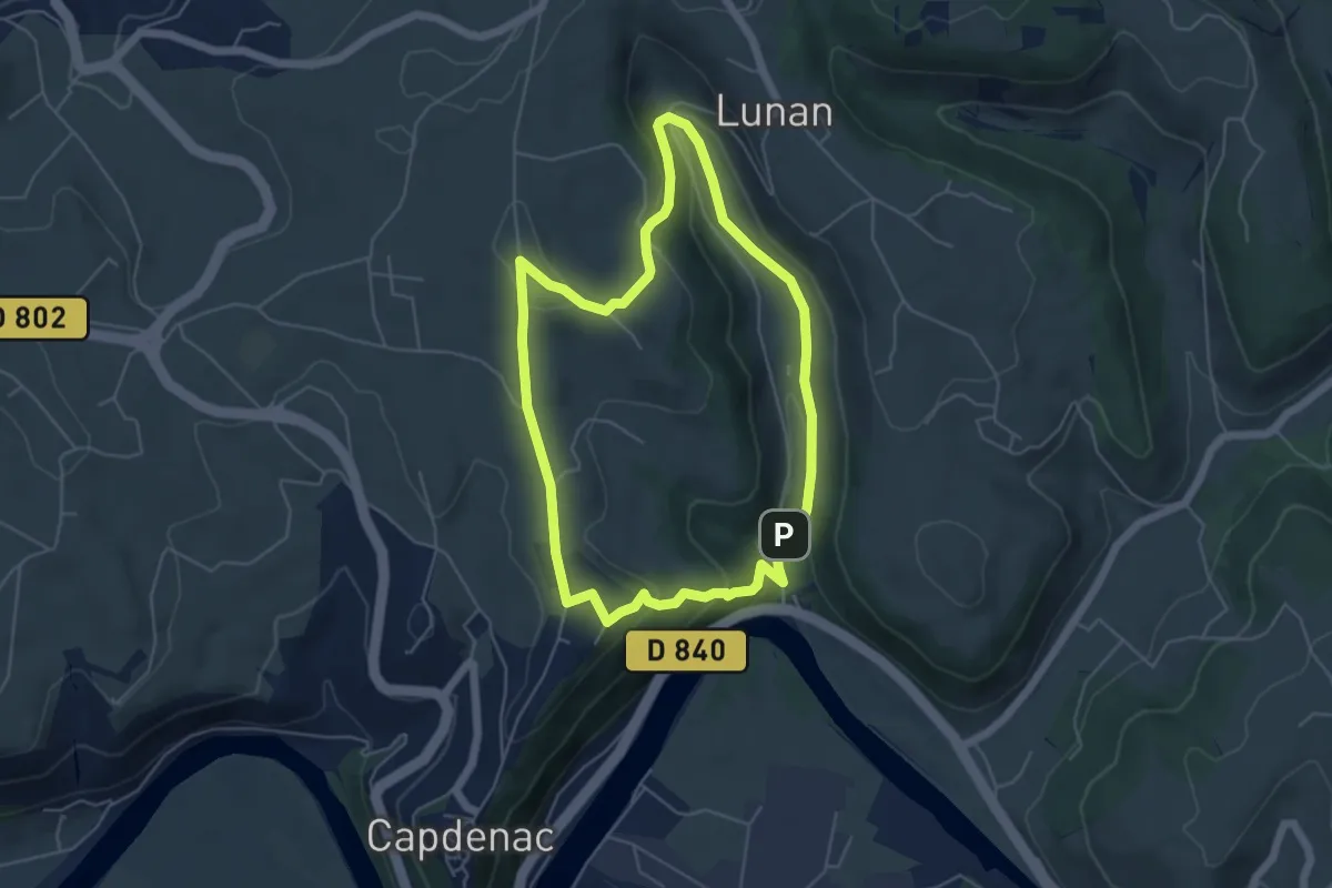
Easy · Trail
La boucle de Lunan
5.2 km · ↑ 172 m · 1 h 40 min · 5 km away
Medium · Trail
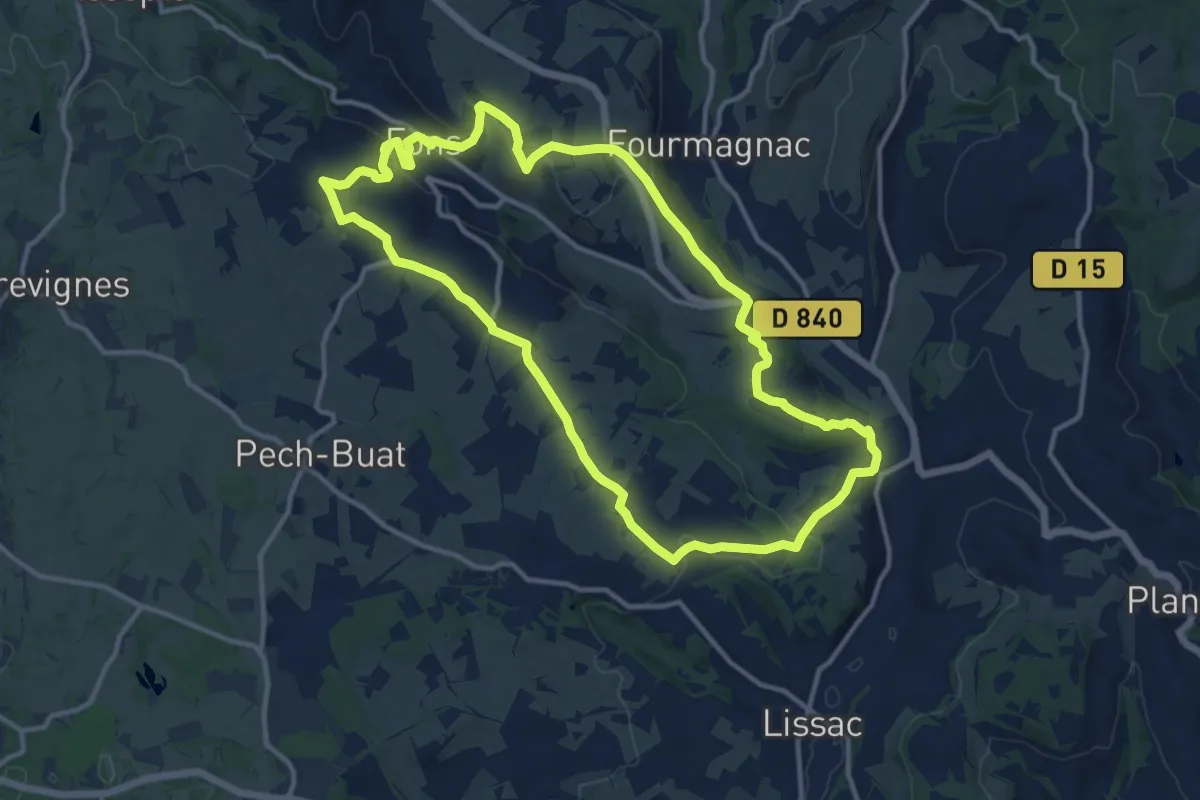
Villages et côteaux de Limargue
13.0 km · ↑ 368 m · 4 h 2 min · 6 km away
Easy · Trail
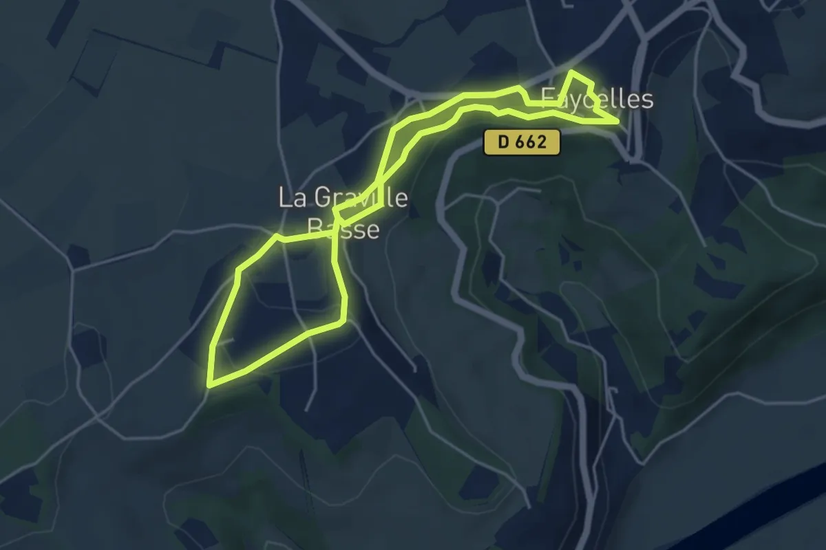
Le circuit des falaises
4.1 km · ↑ 62 m · 1 h 10 min · 7 km away
Medium · Trail
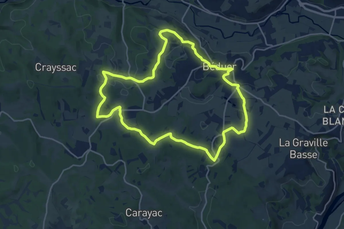
Balade sur le Causse de Béduer
14.0 km · ↑ 306 m · 4 h 10 min · 7 km away
Medium · Trail
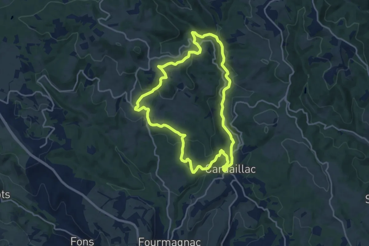
Le plan d'eau des Sagnes
12.1 km · ↑ 360 m · 3 h 48 min · 8 km away
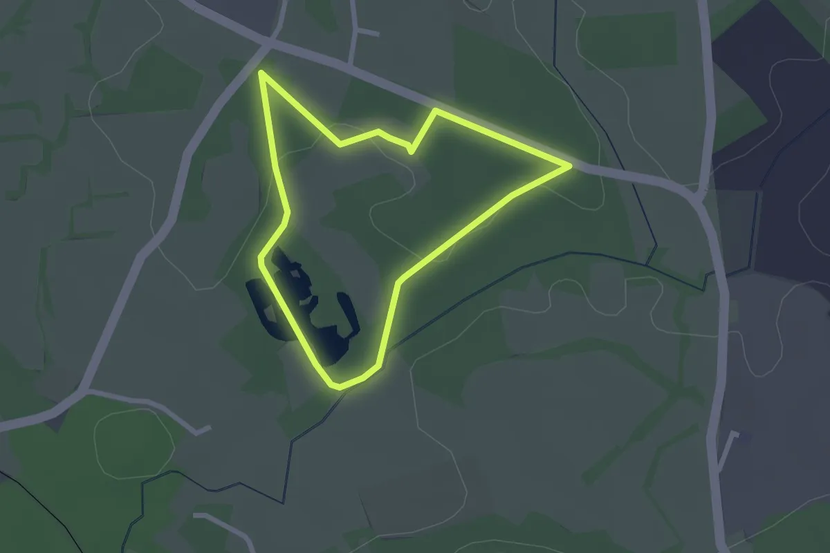
Easy · Trail
Sentier des argiles
2.1 km · ↑ 17 m · 34 min · 9 km away
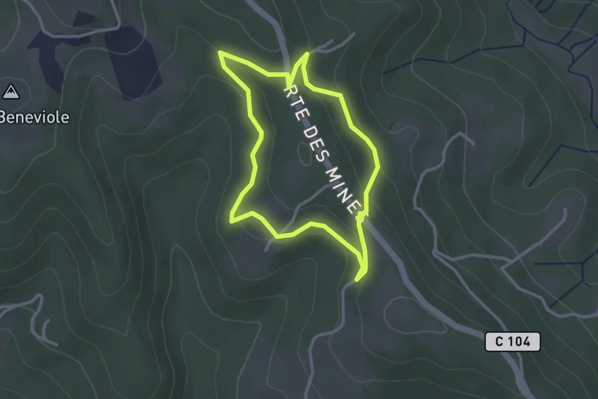
Easy · Trail
Sentier des mines du Soulié
2.6 km · ↑ 76 m · 49 min · 10 km away
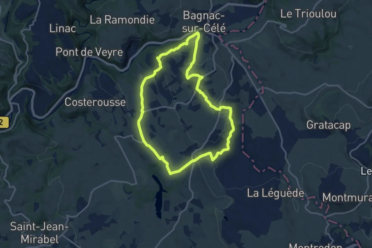
Medium · Trail
Le circuit des Gâches
10.4 km · ↑ 202 m · 3 h 2 min · 10 km away
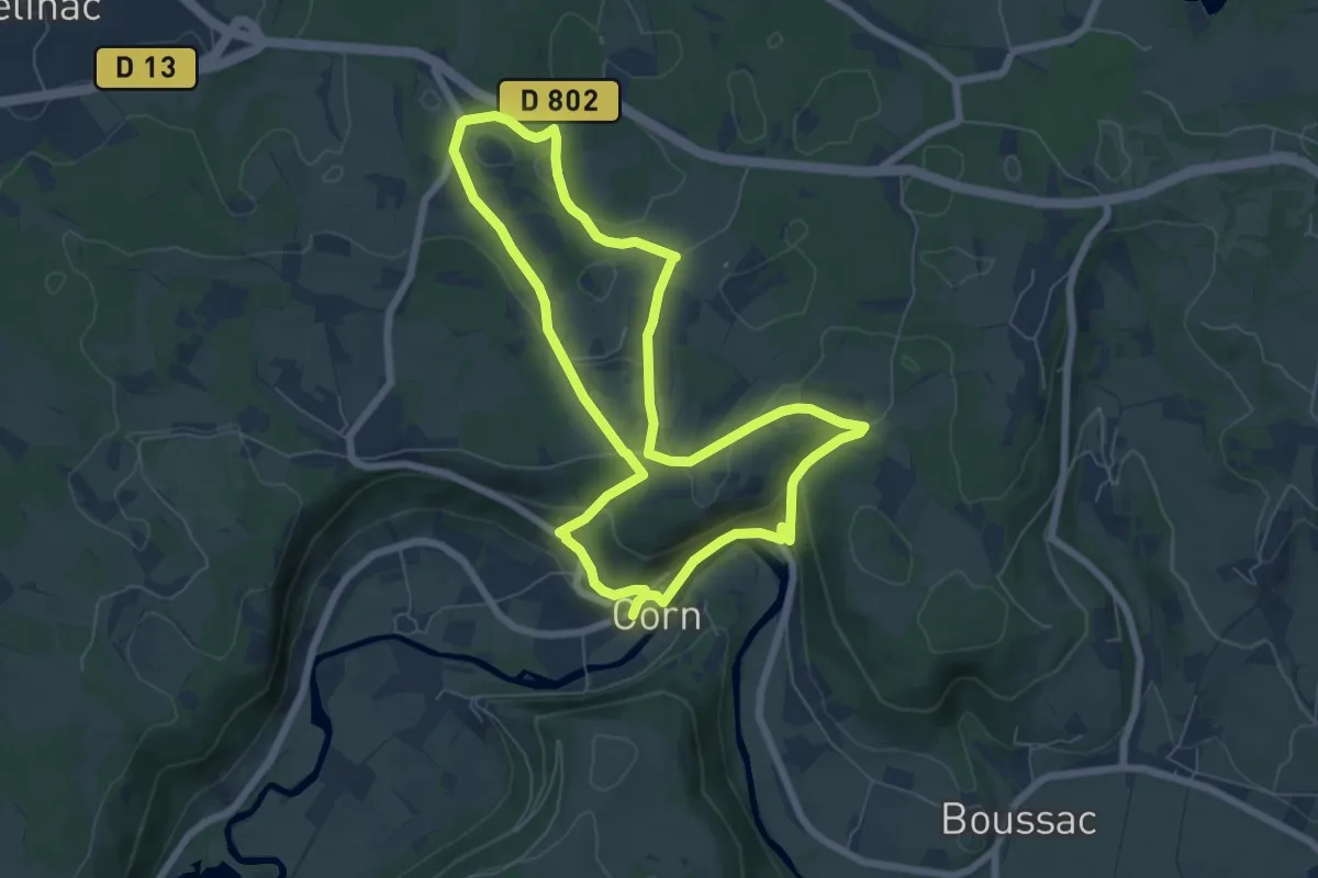
Easy · Trail
Autour de l'eau
6.8 km · ↑ 184 m · 2 h 5 min · 11 km away
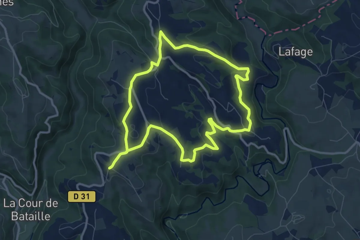
Medium · Trail
Le circuit de Linac
8.2 km · ↑ 206 m · 2 h 30 min · 11 km away
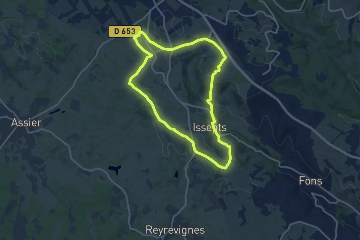
Medium · Trail
Le sentier de découverte dans le Limargue
9.3 km · ↑ 186 m · 2 h 44 min · 11 km away
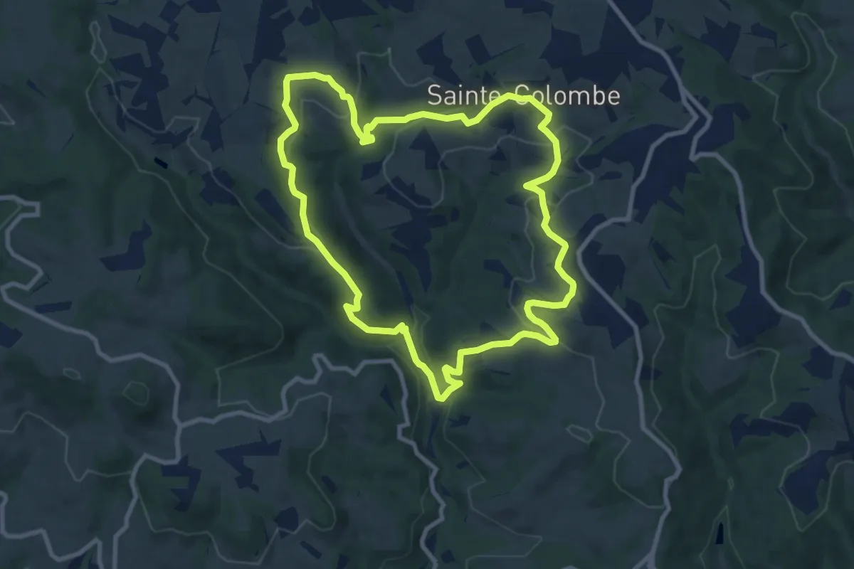
Medium · Trail
Balade aux Deux Moulins
9.0 km · ↑ 298 m · 2 h 54 min · 11 km away
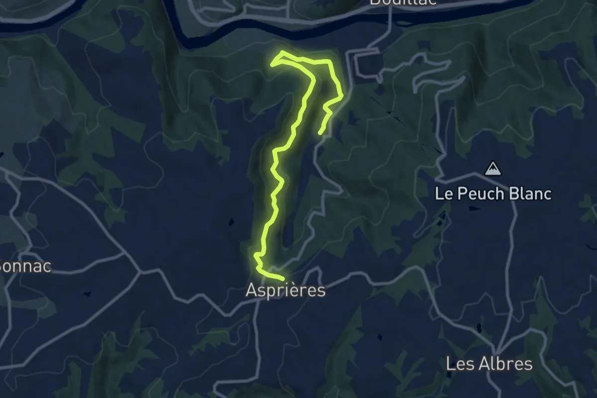
Medium · Trail
Le Vallon de Roucayrol
9.9 km · ↑ 531 m · 3 h 29 min · 11 km away
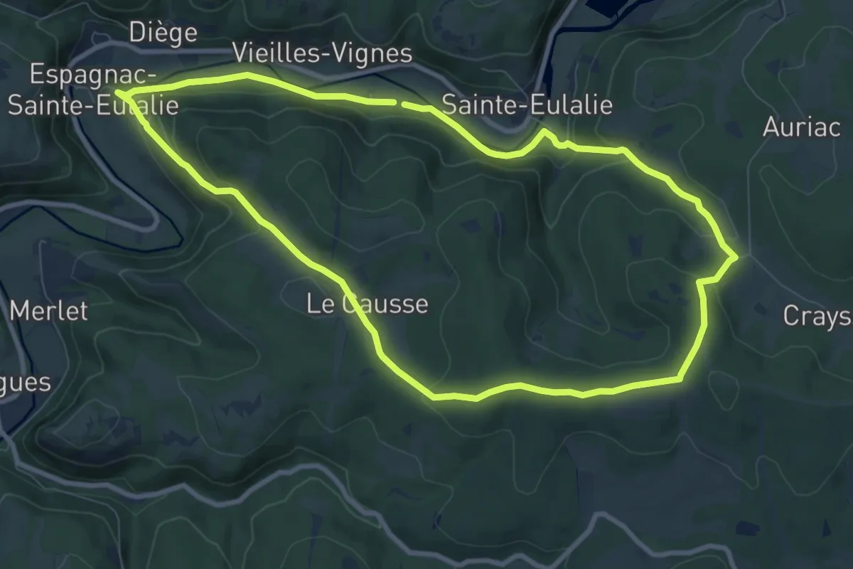
Medium · Summit
La balade du Prieuré d'Espagnac
9.0 km · ↑ 248 m · 2 h 48 min · 14 km away
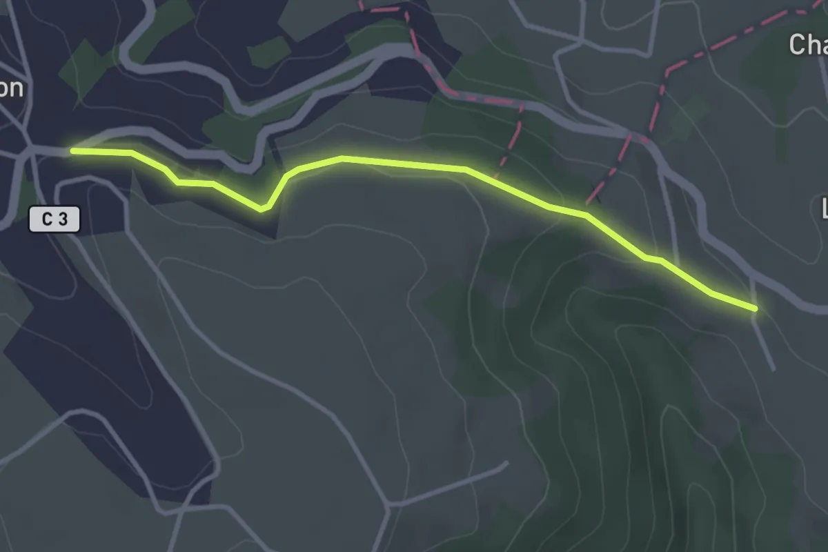
Easy · Trail
Conques – Cahors
3.3 km · ↑ 83 m · 57 min · 14 km away
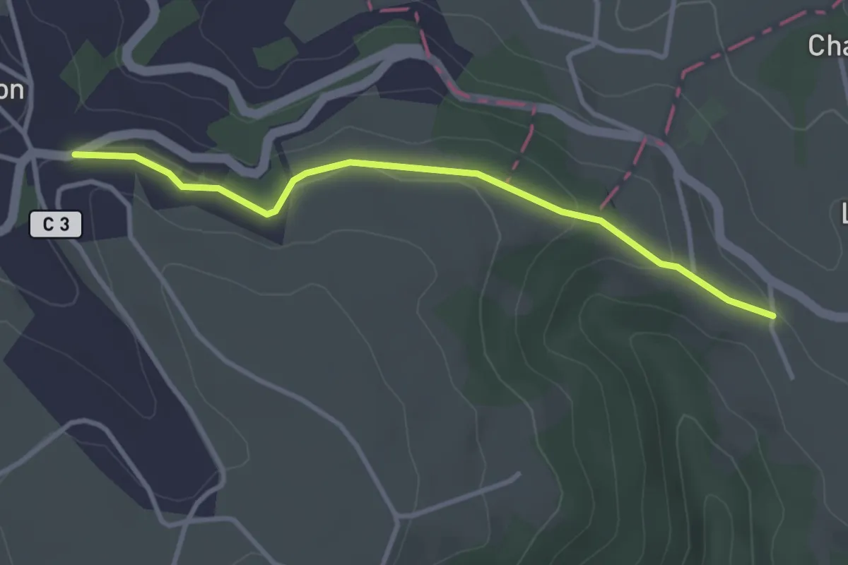
Easy · Trail
Belin-Béliet – Prat-Peyrot
3.3 km · ↑ 83 m · 57 min · 14 km away
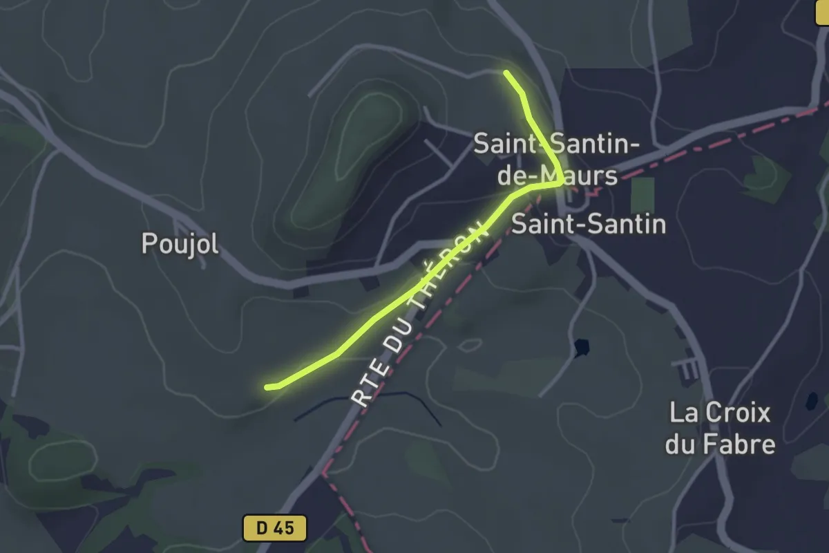
Easy · Trail
Chante-Cigale
2.6 km · ↑ 45 m · 43 min · 14 km away