Trails near Firminy
29 hikes starting within 15 km, nearest first.
Nearest first
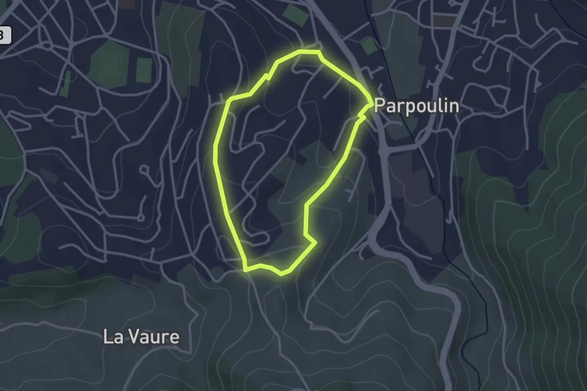
Easy · Trail
Parcours des six troncs
2.6 km · ↑ 94 m · 52 min · 1 km away
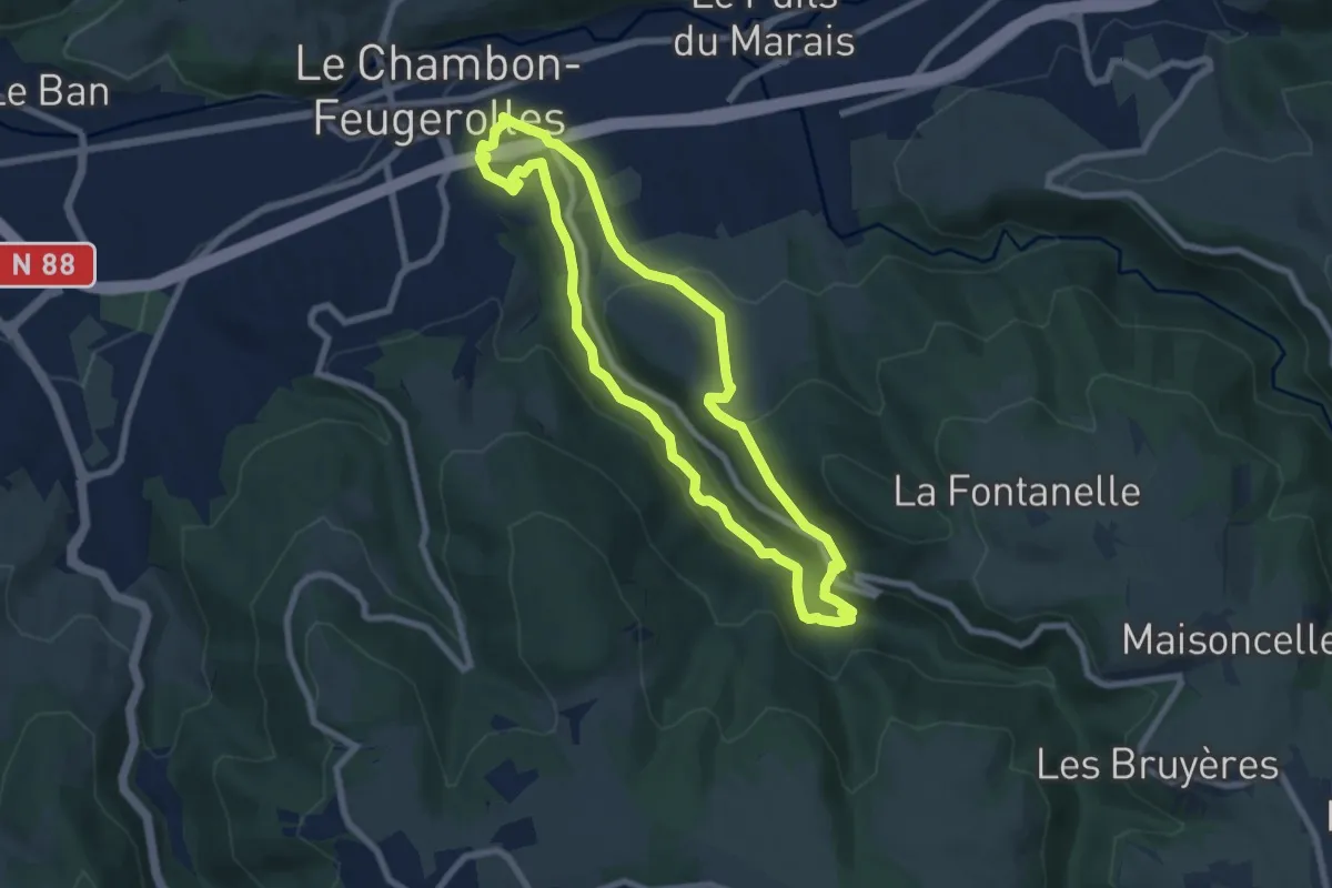
Easy · Trail
Sentier de la flore
7.3 km · ↑ 233 m · 2 h 20 min · 3 km away
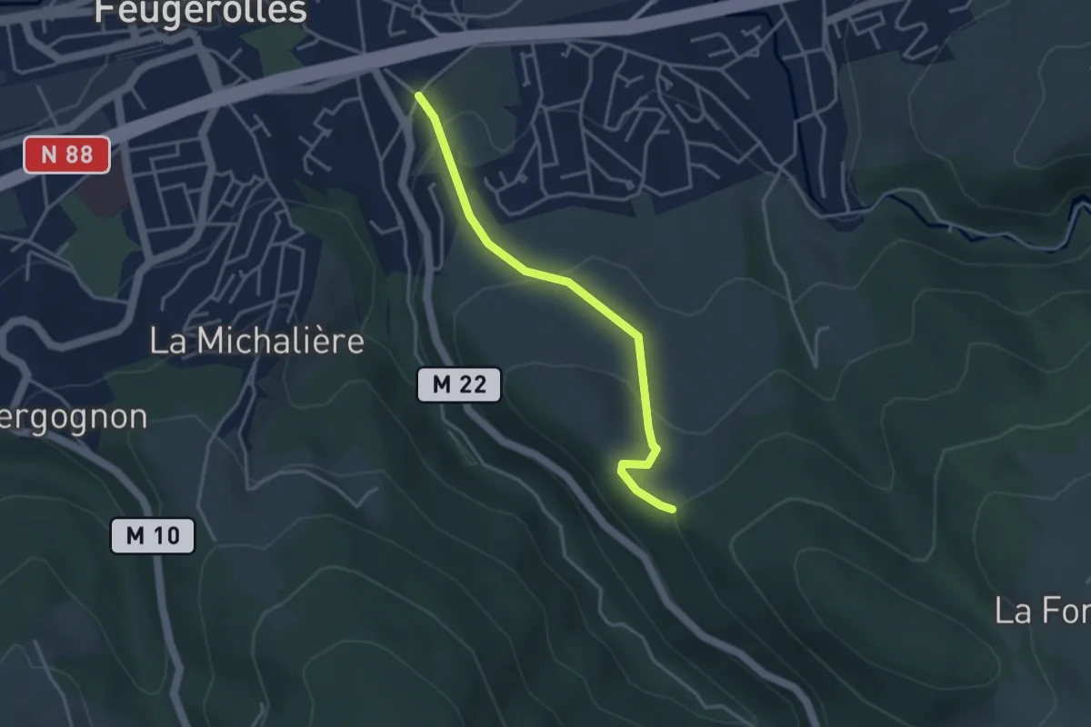
Easy · Trail
Sentier Laurent Odouard
3.5 km · ↑ 150 m · 1 h 9 min · 4 km away
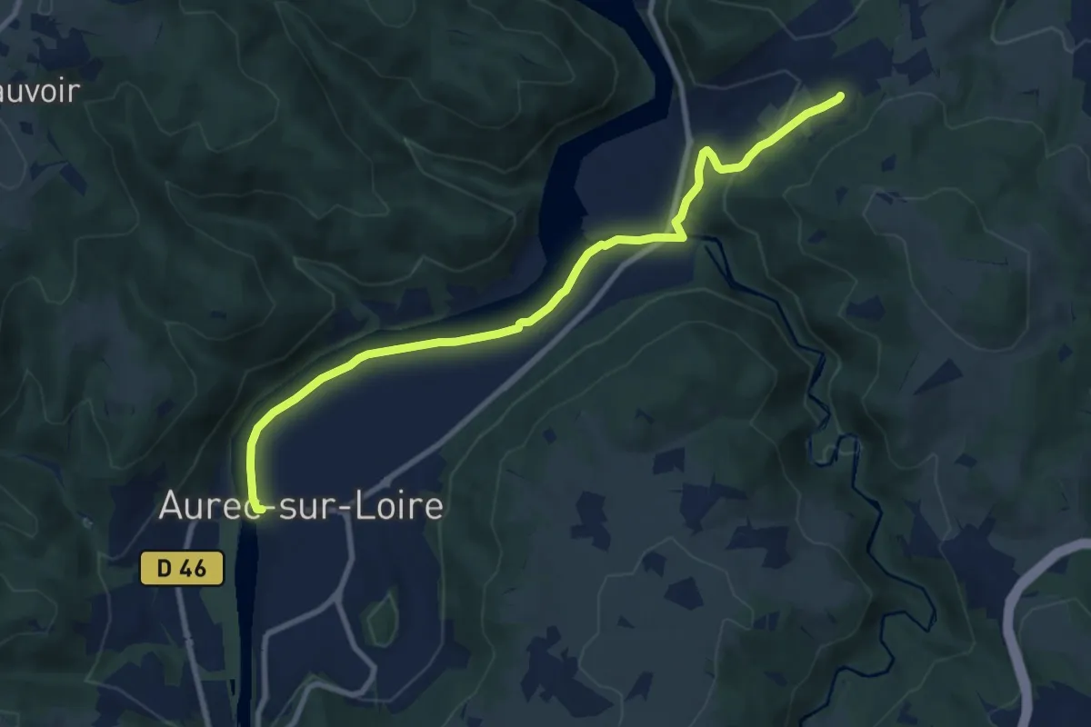
Medium · Trail
Les Gorges de la Loire
9.6 km · ↑ 113 m · 2 h 30 min · 7 km away
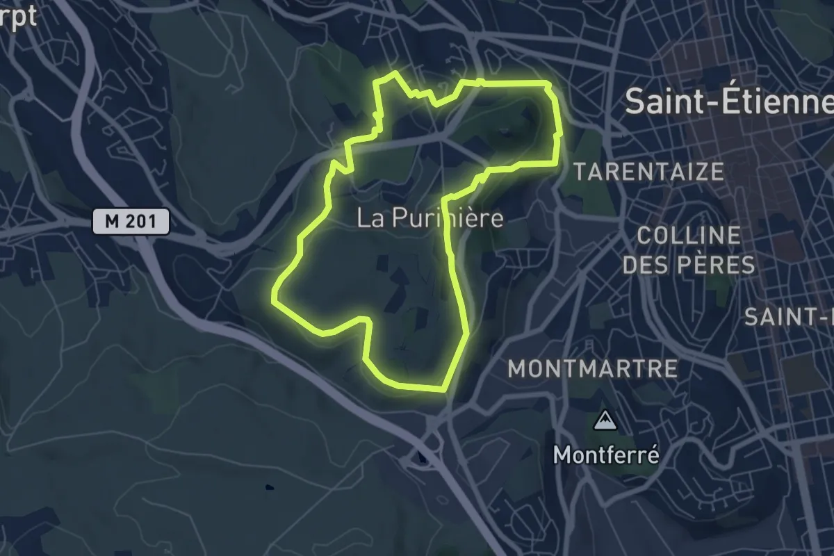
Easy · Trail
Le tour du Mont Salson
6.4 km · ↑ 163 m · 1 h 57 min · 8 km away
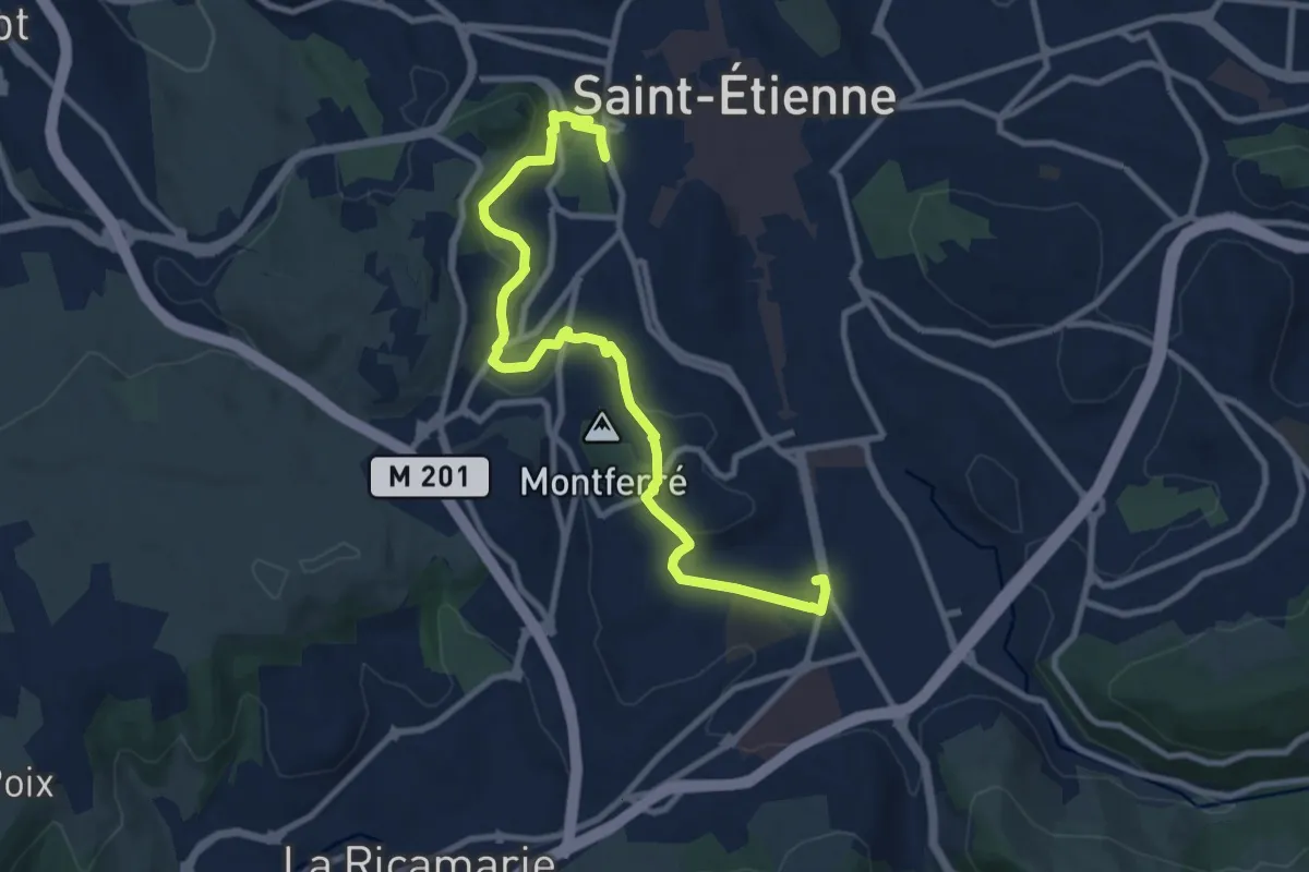
Medium · Trail
Du Clapier à Bellevue
11.2 km · ↑ 203 m · 3 h 4 min · 9 km away
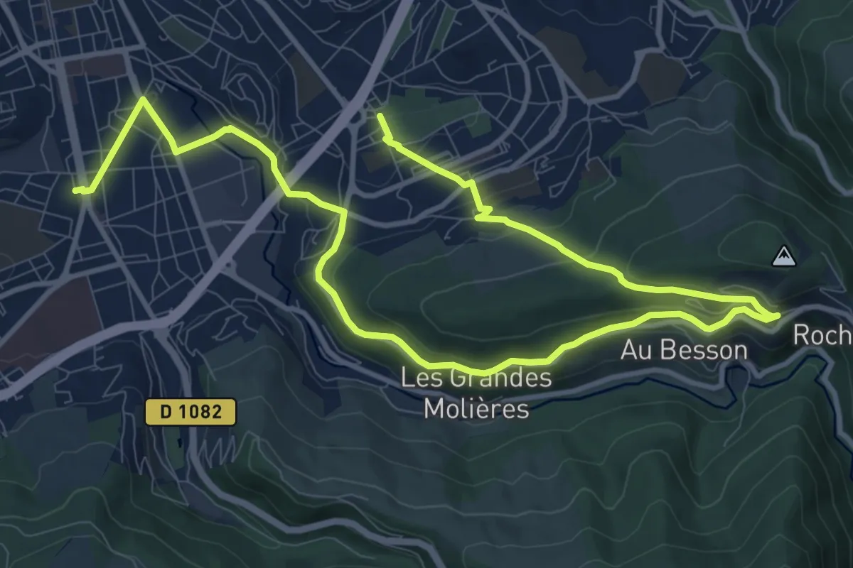
Medium · Trail
De Bellevue au Parc de l'Europe
15.8 km · ↑ 503 m · 4 h 49 min · 9 km away
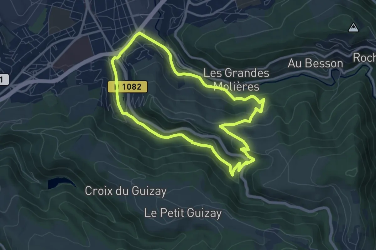
Easy · Trail
Sentier Furan Furet
7.7 km · ↑ 254 m · 2 h 29 min · 9 km away
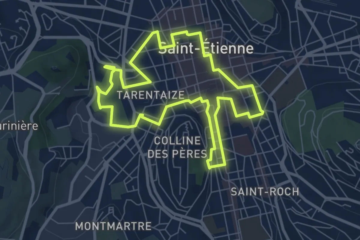
Easy · Trail
Les savoir-faire stéphanois
6.4 km · ↑ 47 m · 1 h 42 min · 9 km away
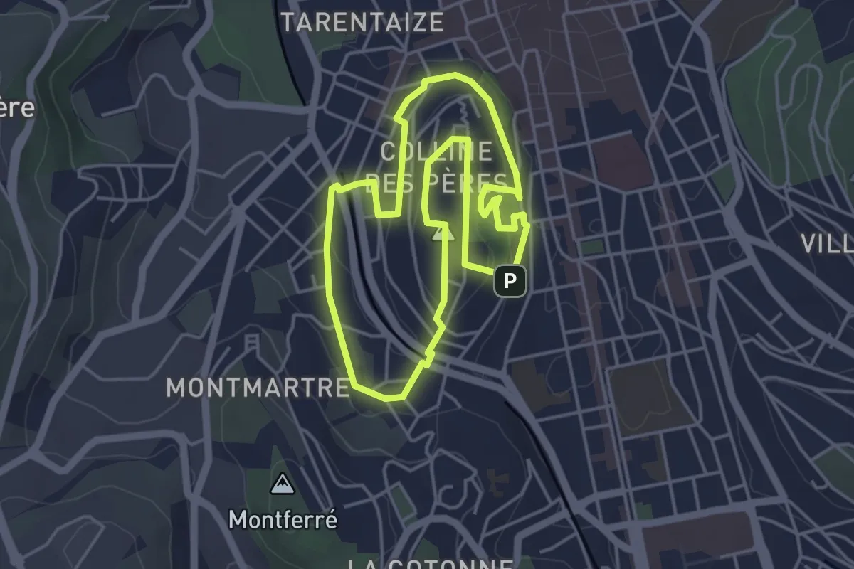
Easy · Trail
La colline de Tardy
4.2 km · ↑ 114 m · 1 h 18 min · 9 km away
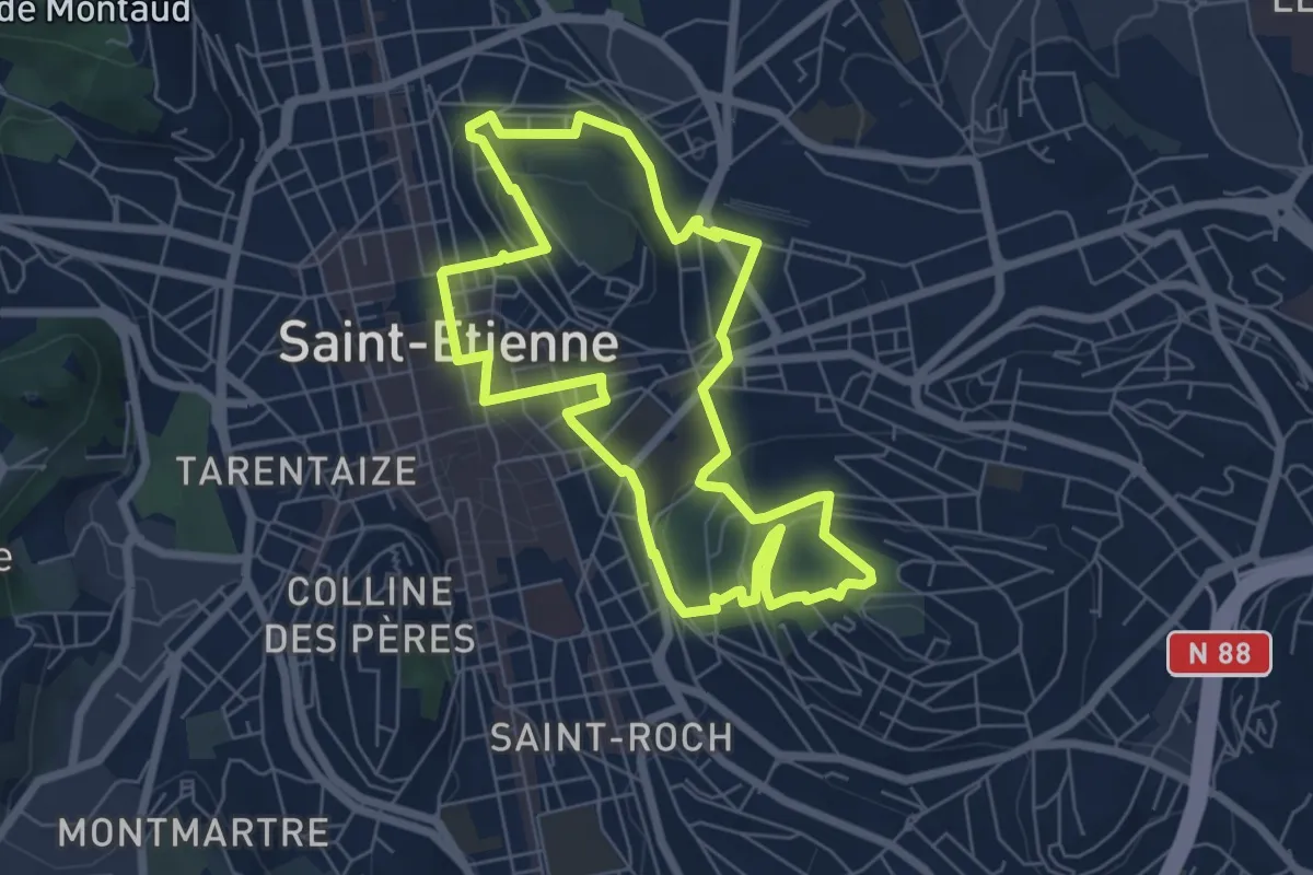
Easy · Trail
Les collines de l’Est stéphanois
6.5 km · ↑ 195 m · 2 h 3 min · 10 km away
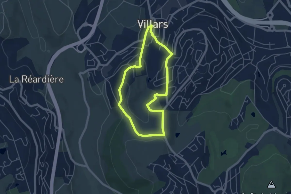
Easy · Trail
Détours
3.9 km · ↑ 140 m · 1 h 16 min · 10 km away
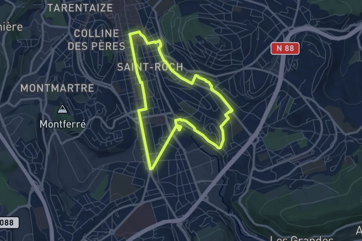
Easy · Trail
De Valbenoîte à la Charité
6.4 km · ↑ 81 m · 1 h 47 min · 10 km away
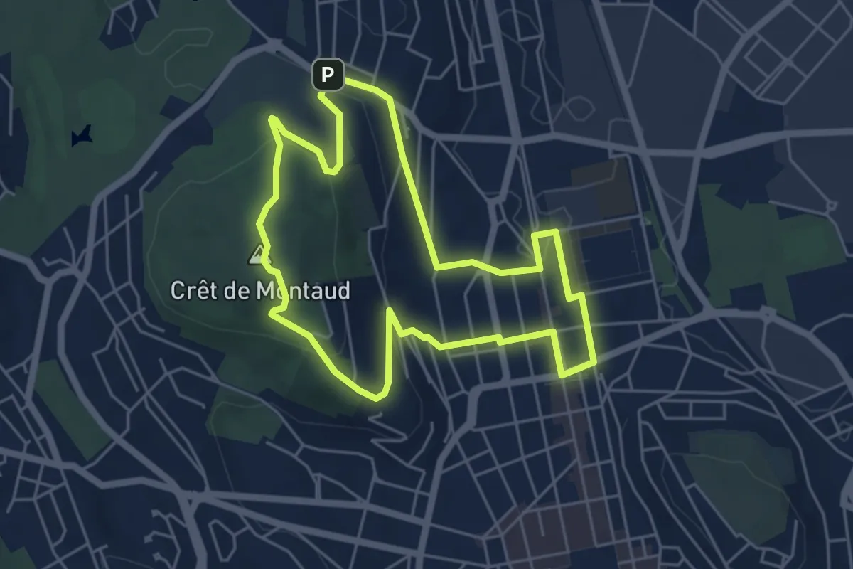
Easy · Summit
De Carnot à Montaud
4.9 km · ↑ 140 m · 1 h 31 min · 10 km away
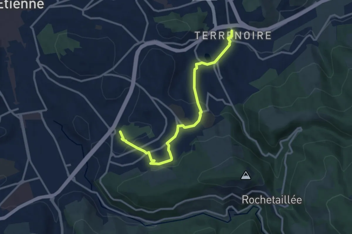
Medium · Trail
Du Parc de l'Europe à Terrenoire
8.8 km · ↑ 282 m · 2 h 41 min · 11 km away
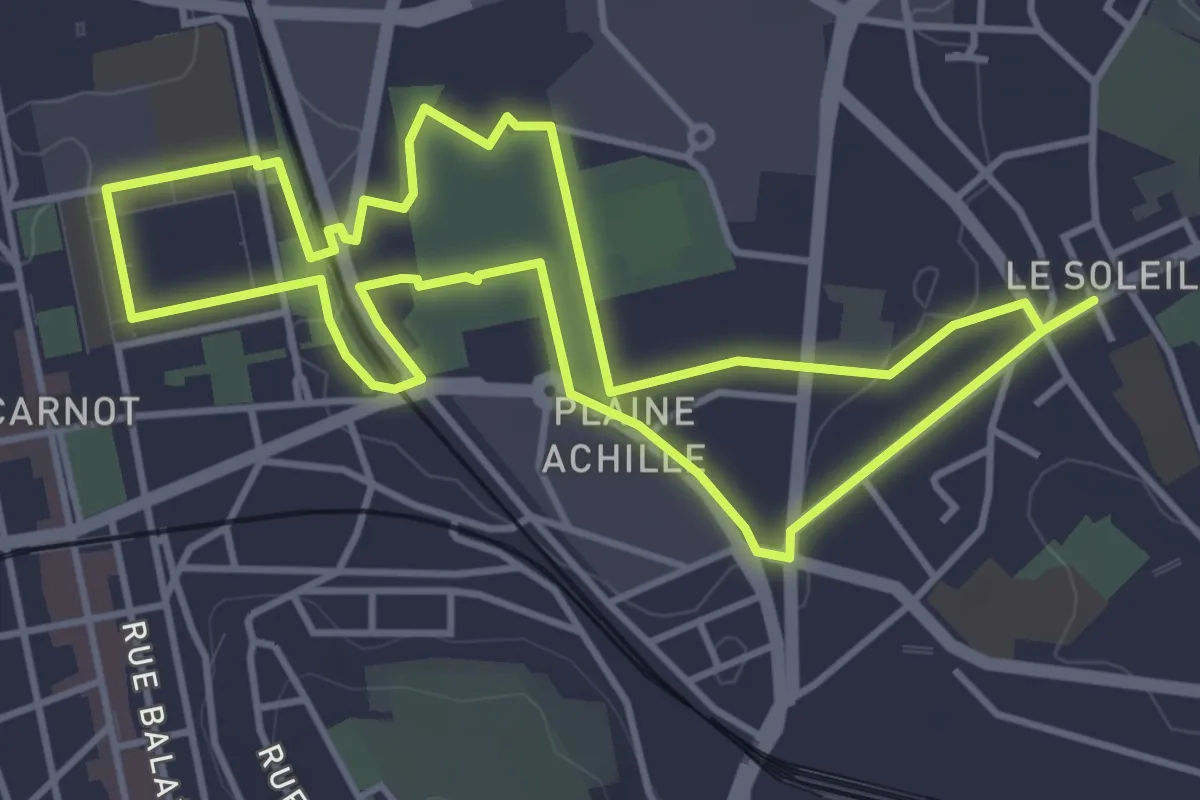
Easy · Trail
Quartier créatif, culturel et sportif
4.5 km · ↑ 23 m · 1 h 10 min · 11 km away
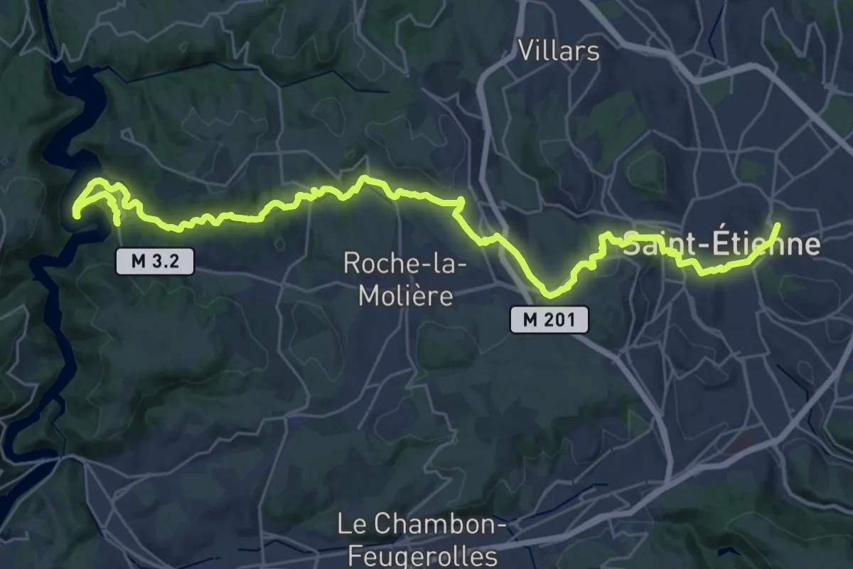
Demanding · Trail
Le sentier du Lizeron
18.3 km · ↑ 355 m · 5 h 22 min · 11 km away
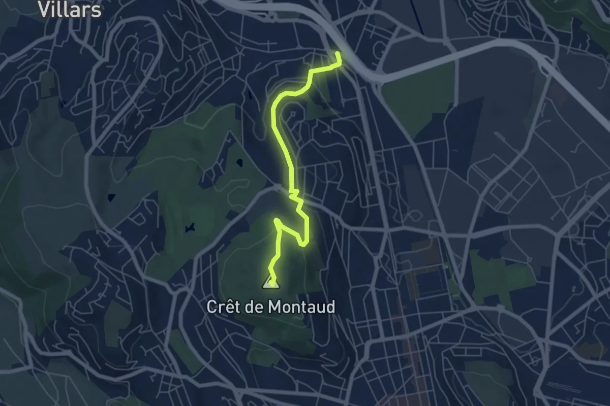
Easy · Summit
De La Terrasse au Clapier
5.4 km · ↑ 178 m · 1 h 40 min · 11 km away
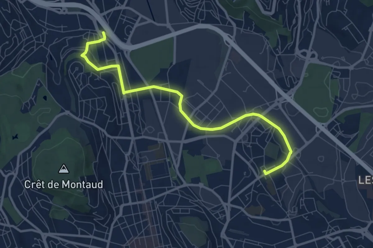
Medium · Trail
Du Soleil à La Terrasse
8.8 km · ↑ 120 m · 2 h 21 min · 11 km away
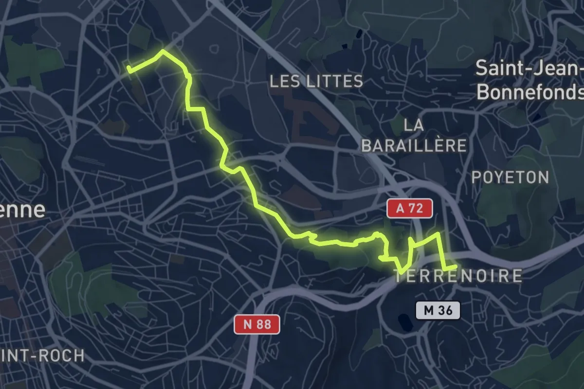
Medium · Trail
De Terrenoire au Soleil
9.7 km · ↑ 253 m · 2 h 50 min · 12 km away
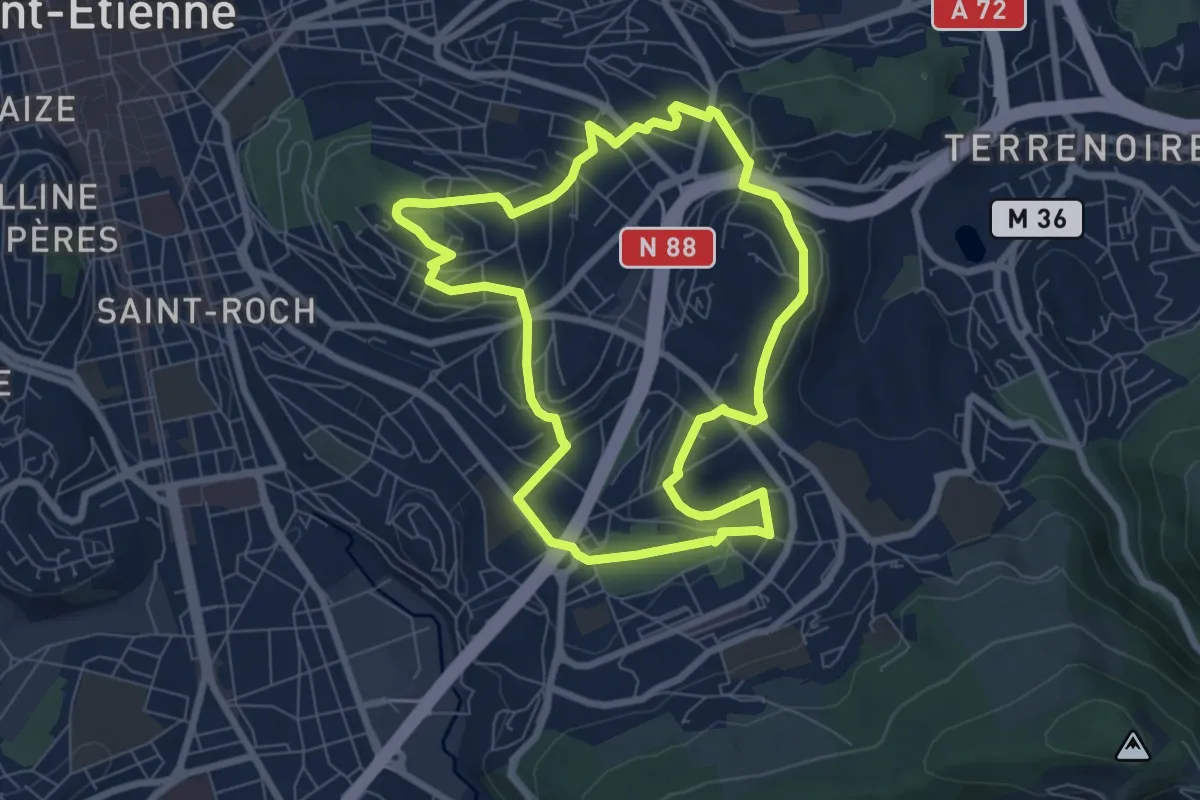
Easy · Trail
La mutation des quartiers sud-est depuis 1950
7.3 km · ↑ 149 m · 2 h 8 min · 12 km away
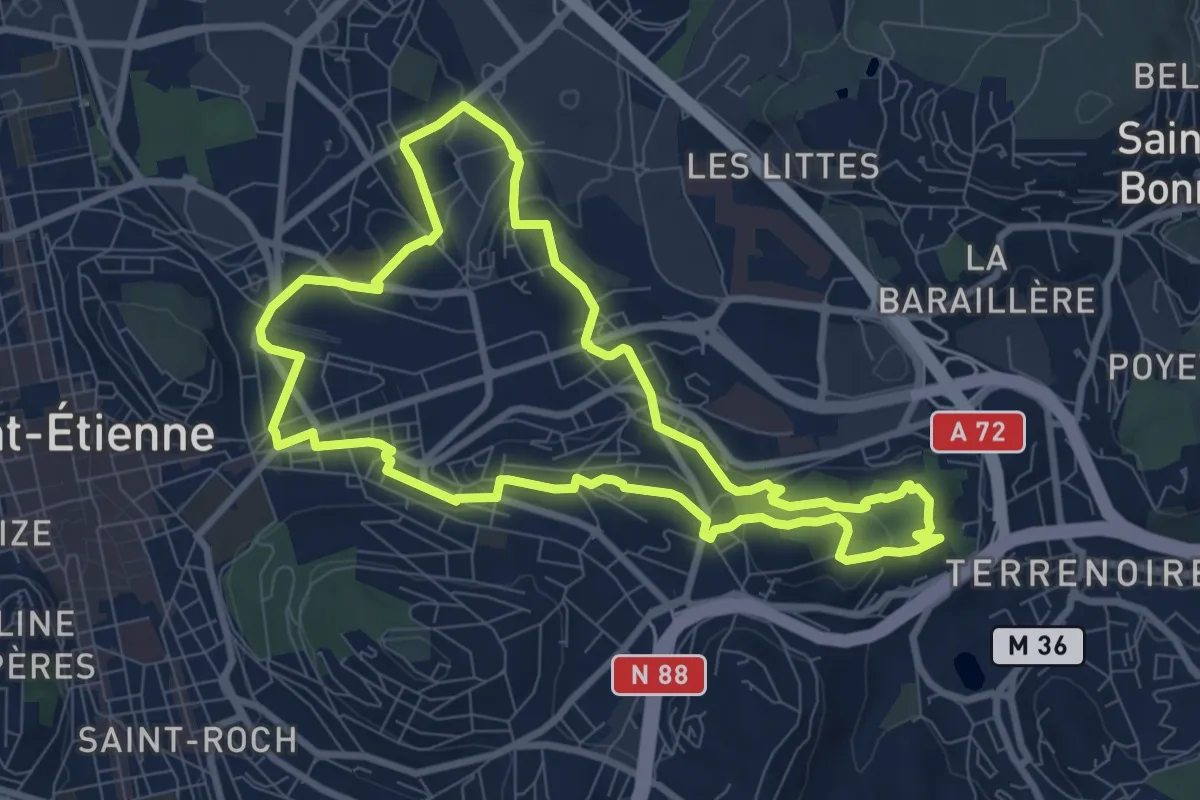
Medium · Trail
L’Est stéphanois, entre industrie et reconversion
8.7 km · ↑ 183 m · 2 h 35 min · 12 km away
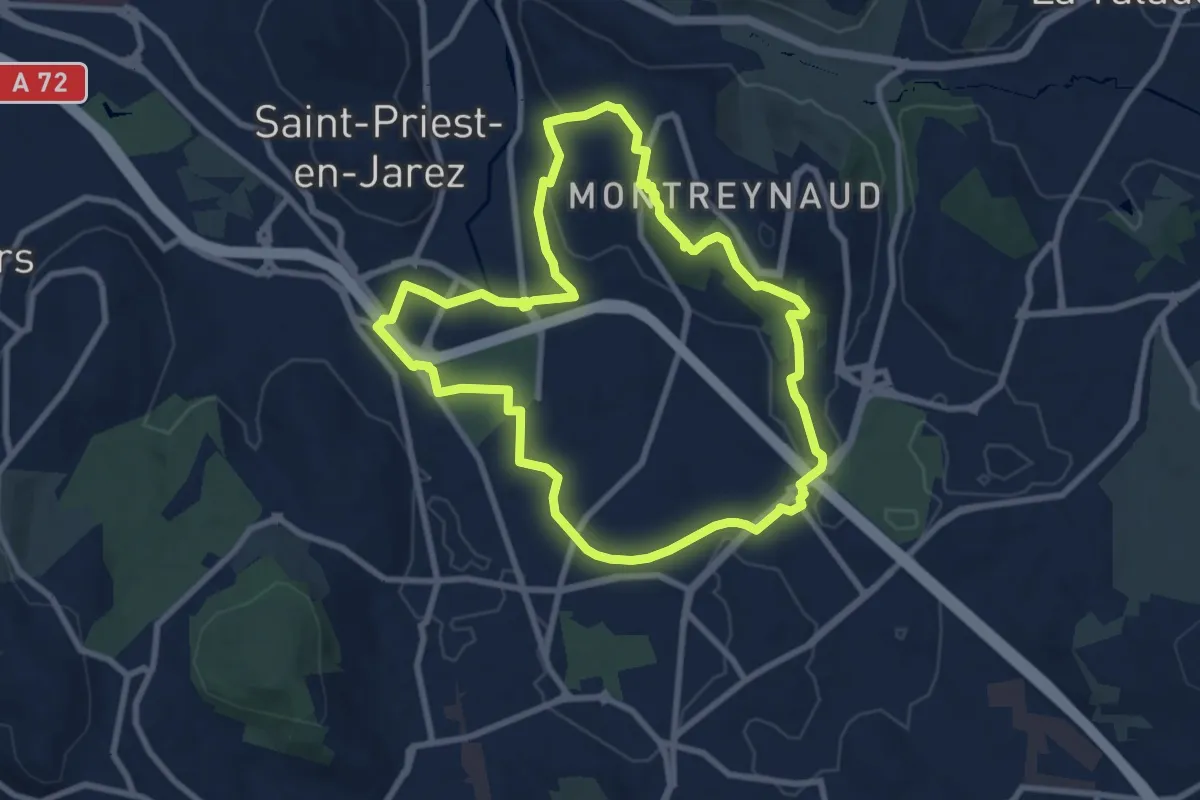
Medium · Trail
Le belvédère de Montreynaud
8.6 km · ↑ 115 m · 2 h 24 min · 12 km away
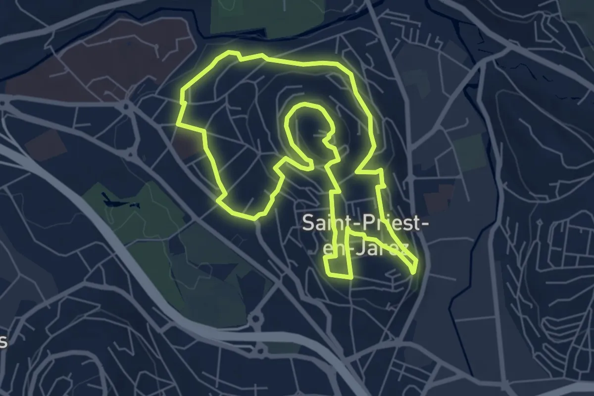
Easy · Trail
Saint-Priest en Jarez de Brassens à Brel…
6.3 km · ↑ 175 m · 1 h 57 min · 12 km away
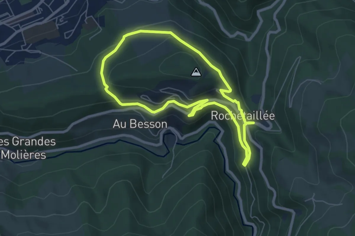
Easy · Trail
Les Monuments du Village
5.4 km · ↑ 219 m · 1 h 49 min · 13 km away
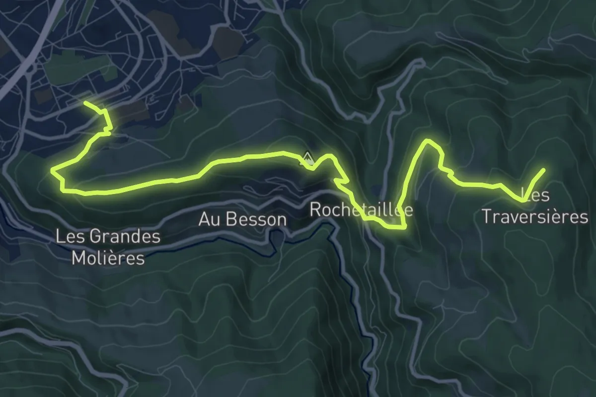
Medium · Trail
Sentier Claude Berthier
13.4 km · ↑ 614 m · 4 h 30 min · 14 km away
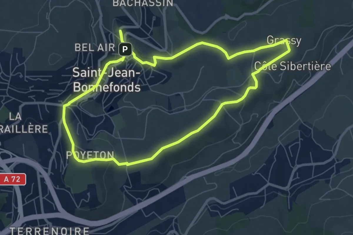
Easy · Trail
Sport et nature
6.9 km · ↑ 119 m · 1 h 59 min · 15 km away
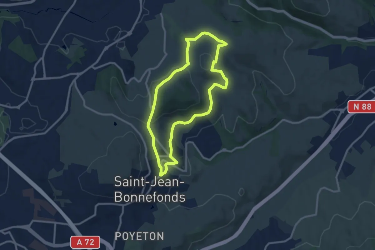
Easy · Trail
Patrimoine
6.9 km · ↑ 151 m · 2 h 3 min · 15 km away
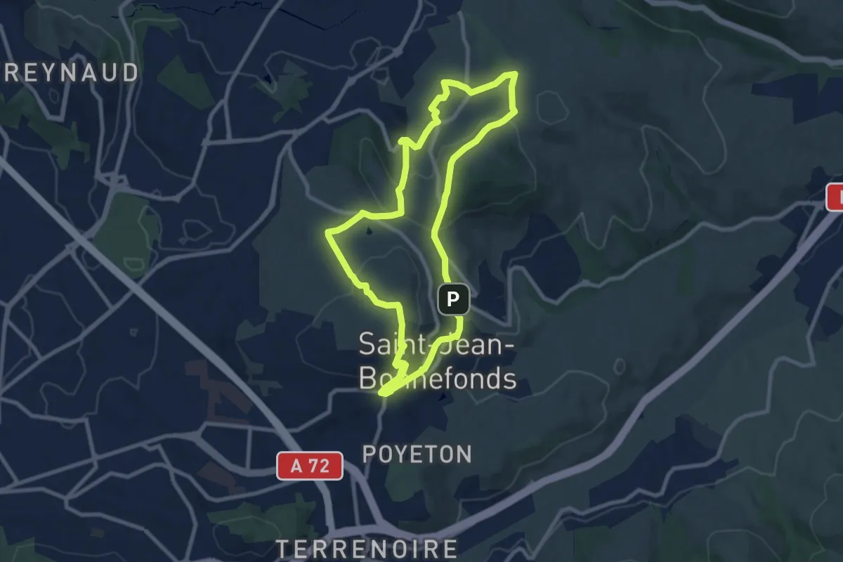
Medium · Trail
Ligne de partage des eaux
8.3 km · ↑ 232 m · 2 h 35 min · 15 km away