Trails near Florac Trois Rivières
40 hikes starting within 15 km, nearest first.
Nearest first
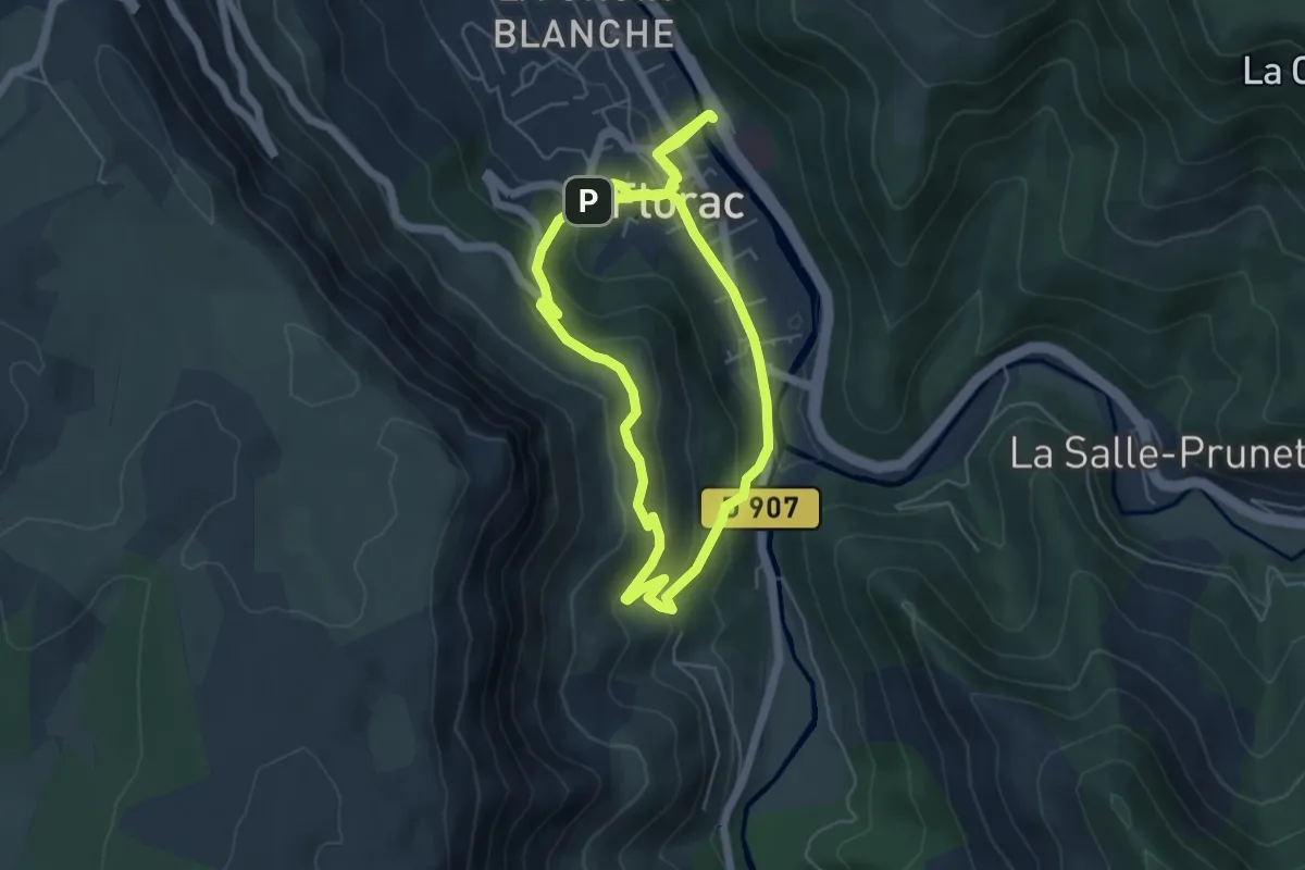
Medium · Trail
Sentier des couronnes (courte)
5.6 km · ↑ 187 m · 1 h 50 min · under 1 km away
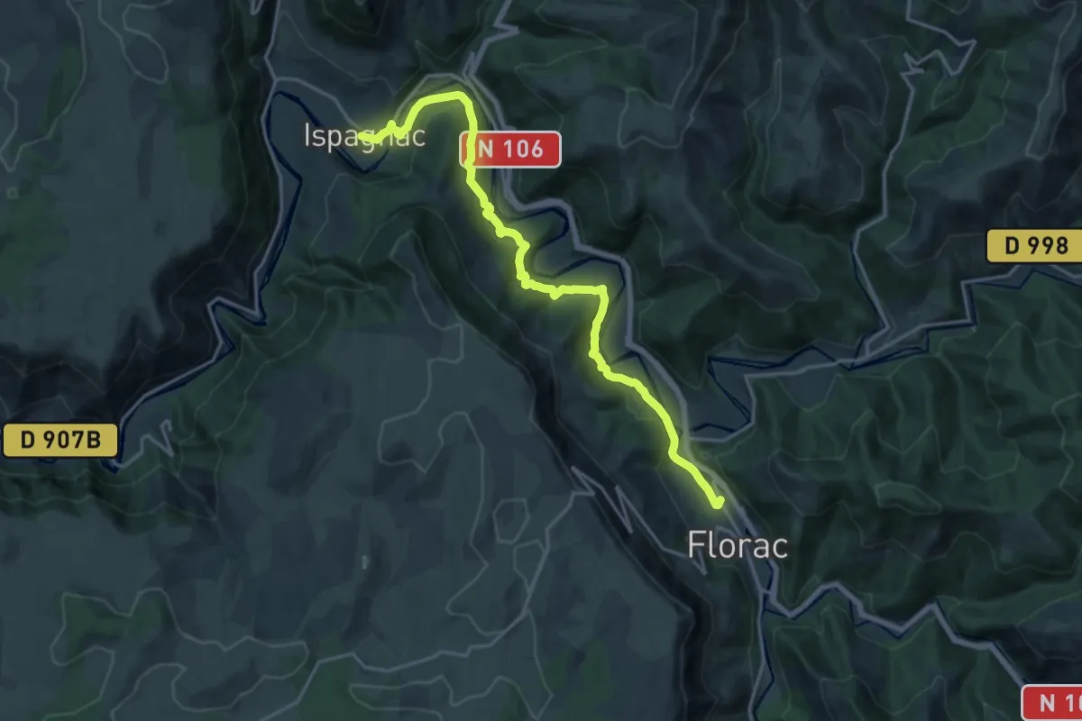
Demanding · Trail
Florac – Ispagnac
18.9 km · ↑ 795 m · 6 h 12 min · 1 km away
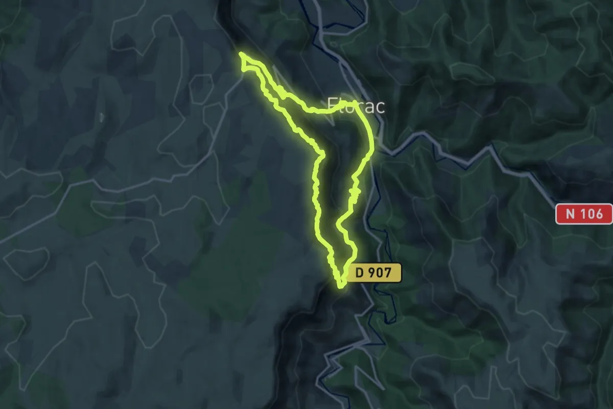
Demanding · Summit
Les couronnes
13.9 km · ↑ 908 m · 5 h 27 min · 1 km away
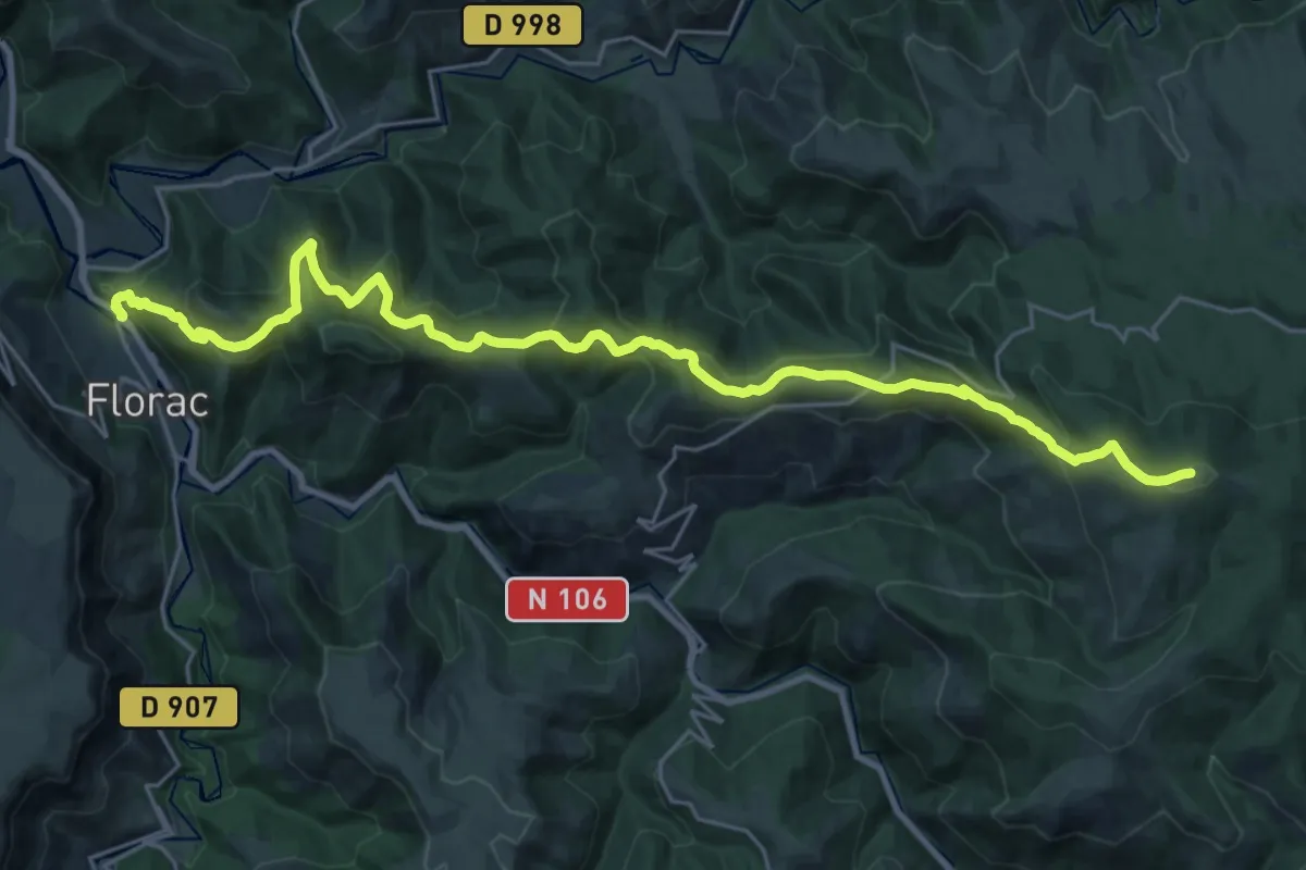
Demanding · Summit
Signal de Ventalon – Florac
28.9 km · ↑ 1413 m · 9 h 53 min · 1 km away
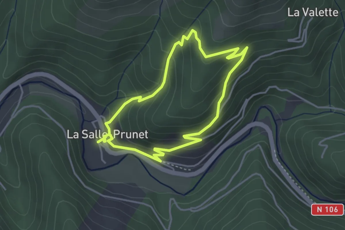
Easy · Trail
Prunet
3.4 km · ↑ 217 m · 1 h 19 min · 2 km away
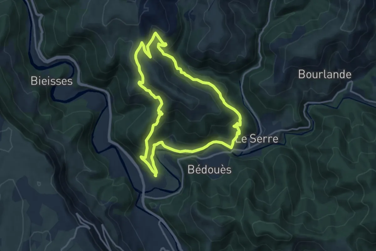
Medium · Trail
Puecheral
11.4 km · ↑ 487 m · 3 h 54 min · 2 km away
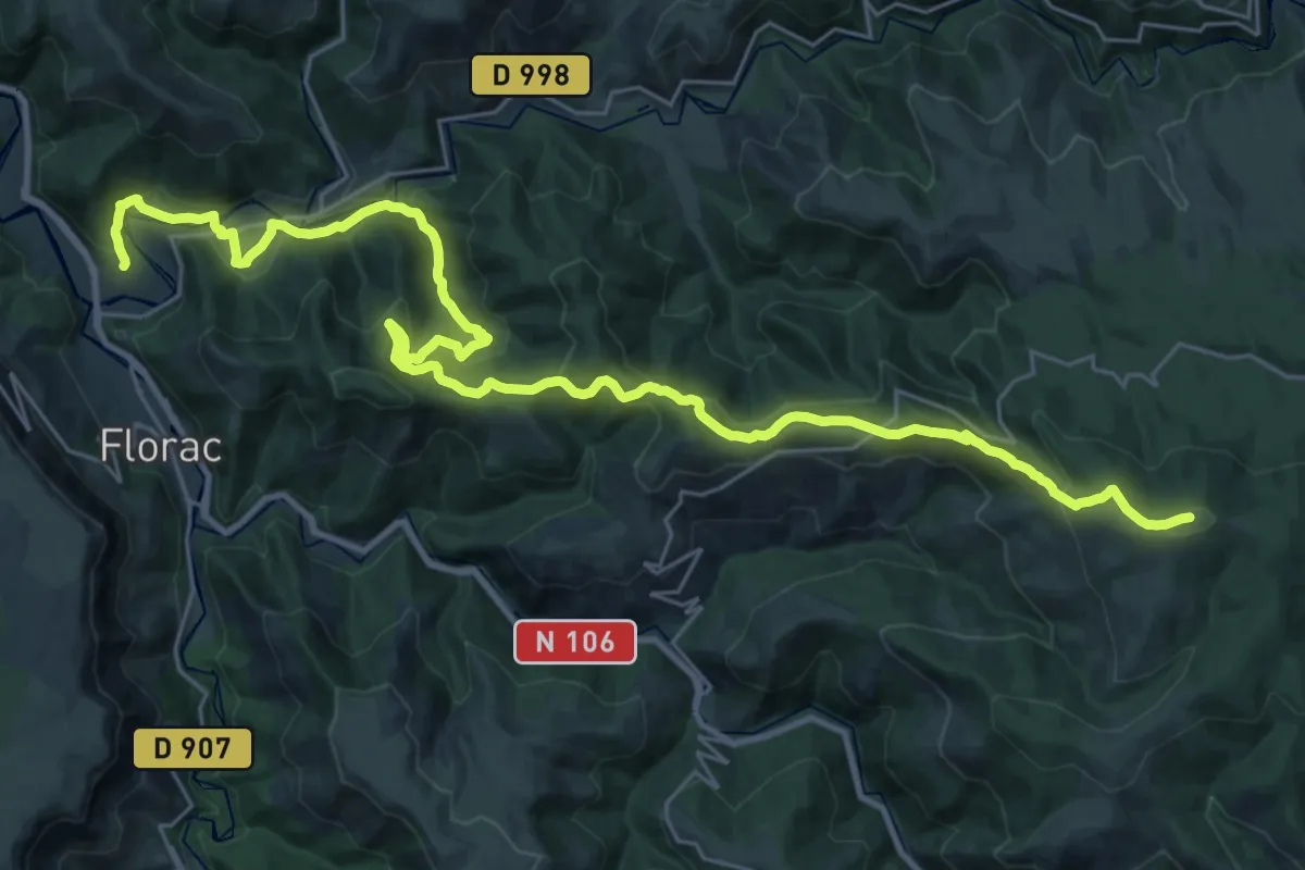
Demanding · Summit
Col de la Planette – Florac
35.2 km · ↑ 1323 m · 11 h 10 min · 2 km away
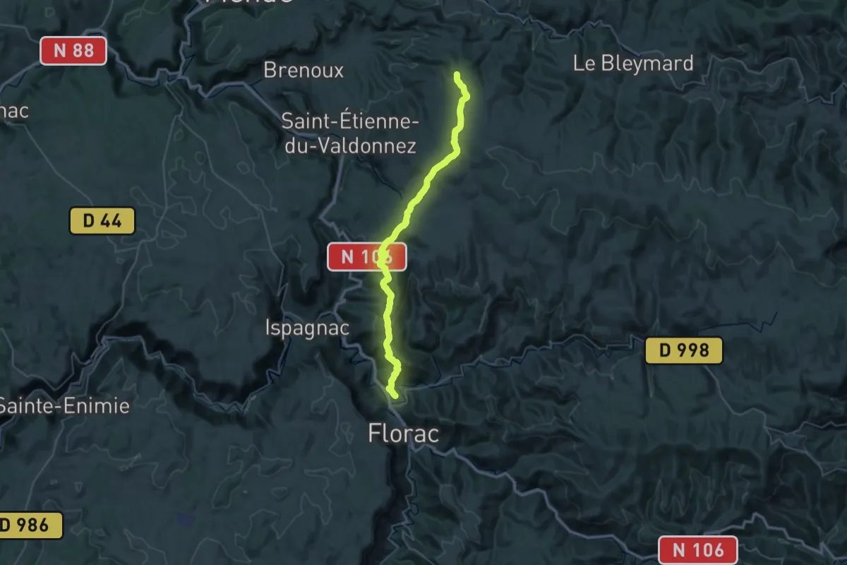
Demanding · Trail
Florac – Les Sagnoles
19.7 km · ↑ 1072 m · 6 h 52 min · 2 km away
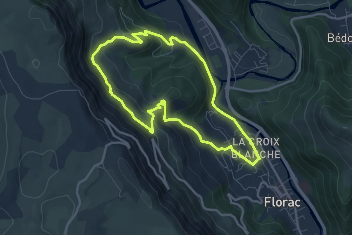
Easy · Trail
Gralhon
6.8 km · ↑ 290 m · 2 h 20 min · 2 km away
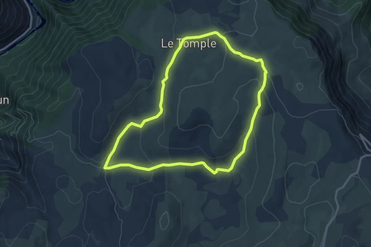
Easy · Trail
La Condamine
6.9 km · ↑ 149 m · 2 h 3 min · 4 km away
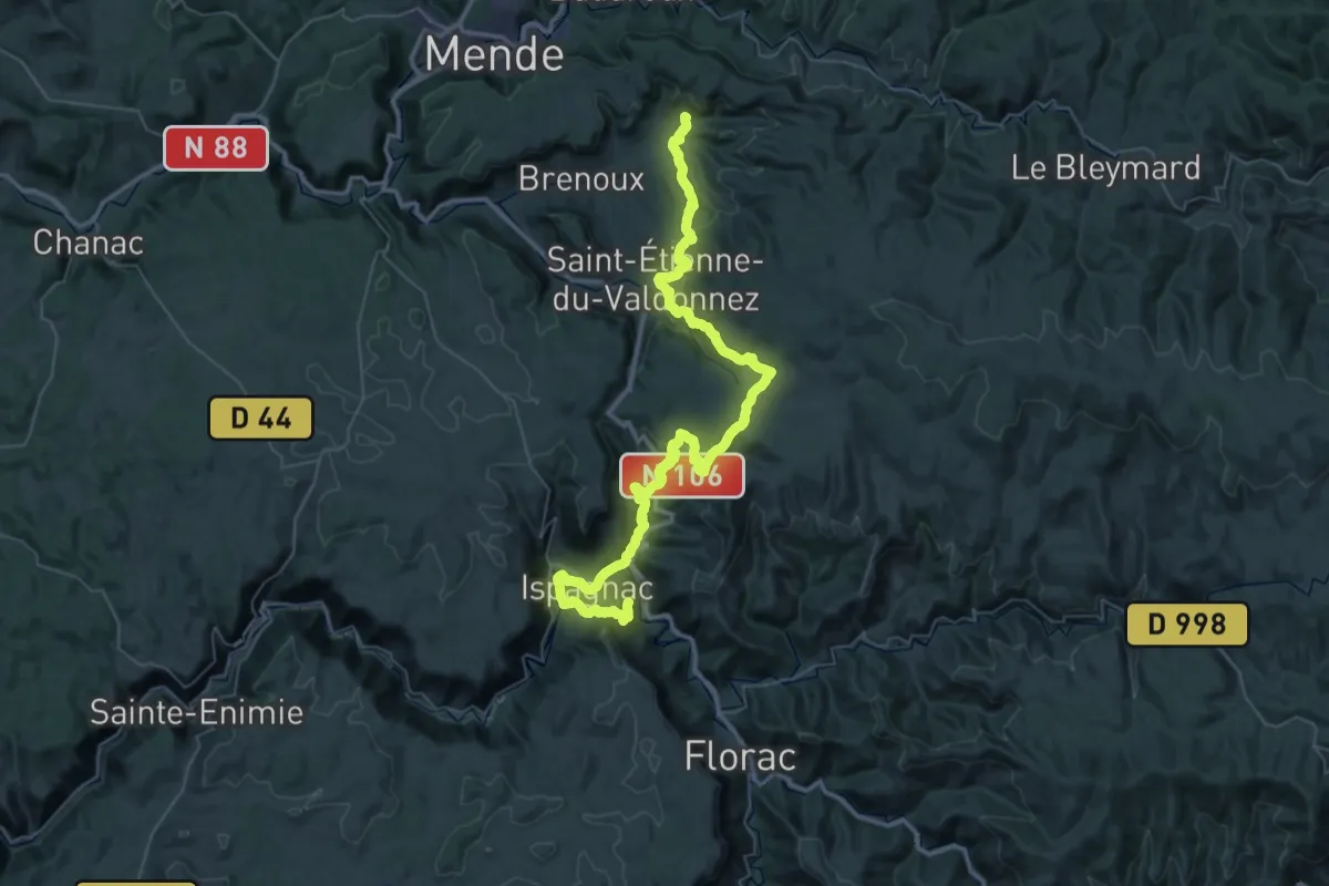
Demanding · Trail
UV 04 : Barjac - Lanuéjols
31.3 km · ↑ 1265 m · 10 h 27 min · 6 km away
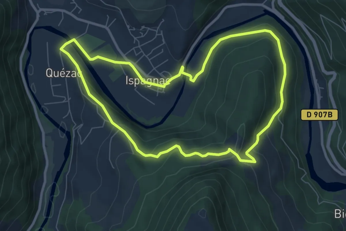
Easy · Trail
Les deux ponts
7.0 km · ↑ 258 m · 2 h 19 min · 7 km away
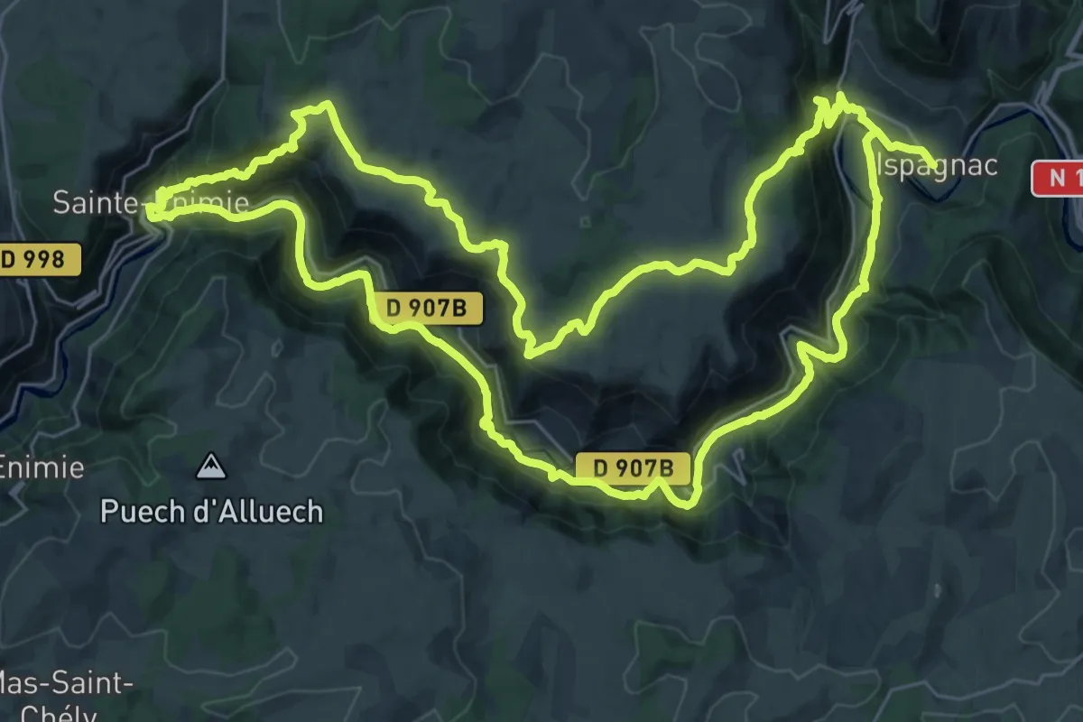
Demanding · Trail
Du haut Tarn à la cité médiévale
33.9 km · ↑ 1081 m · 10 h 50 min · 7 km away
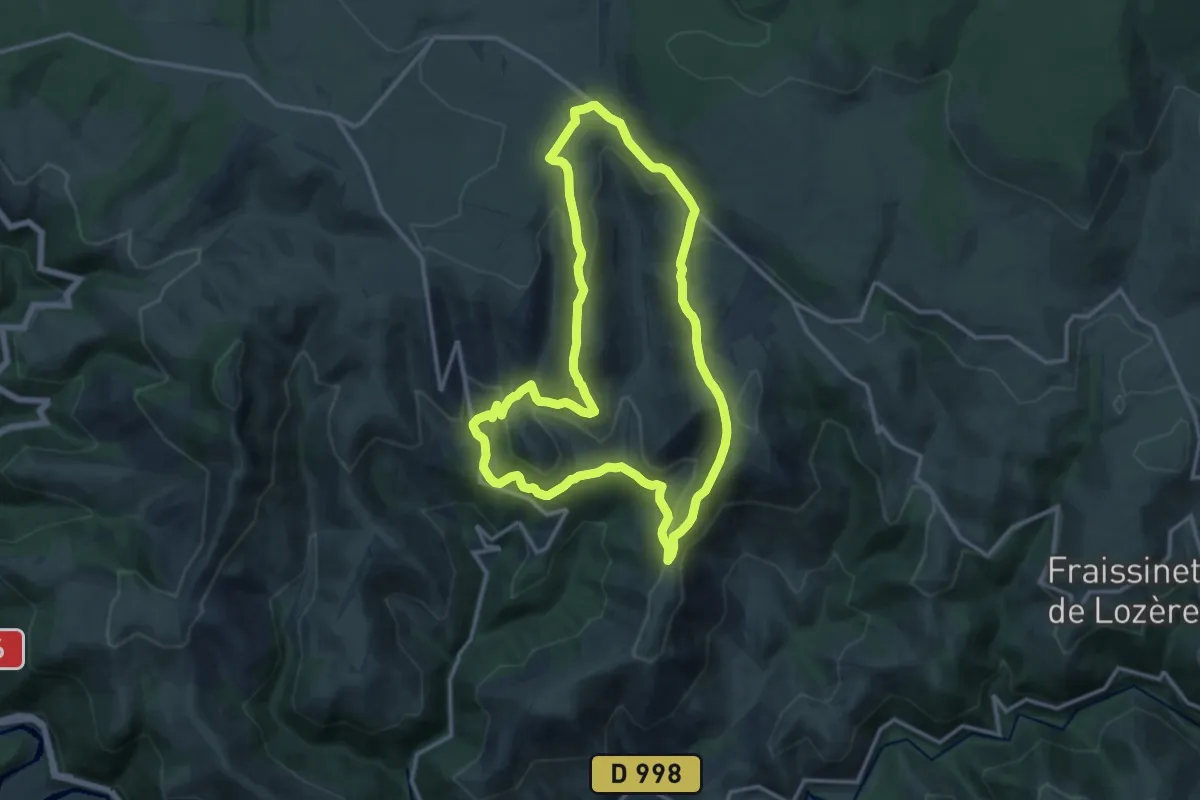
Medium · Trail
Sentier des Menhirs
13.7 km · ↑ 417 m · 4 h 19 min · 8 km away
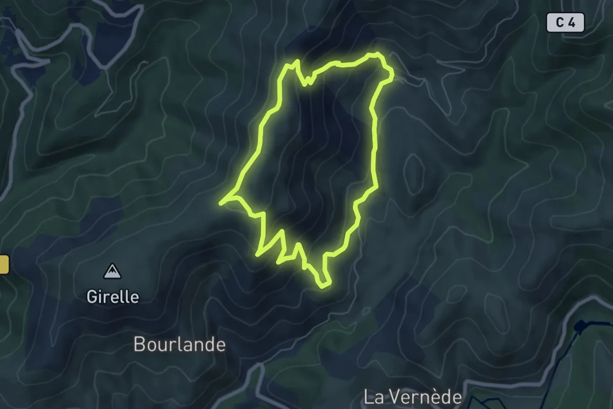
Medium · Trail
Ruas
5.9 km · ↑ 352 m · 2 h 14 min · 8 km away
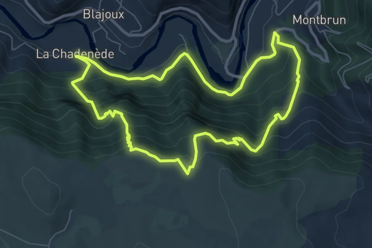
Medium · Trail
La Chadenède, sentier des moines
6.3 km · ↑ 556 m · 2 h 47 min · 8 km away
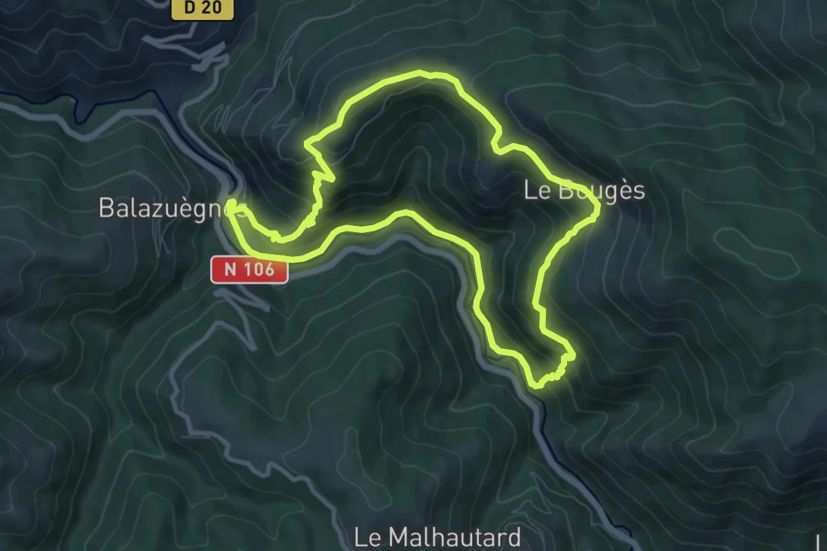
Medium · Trail
Moulin du Bougès
8.8 km · ↑ 449 m · 3 h 11 min · 8 km away
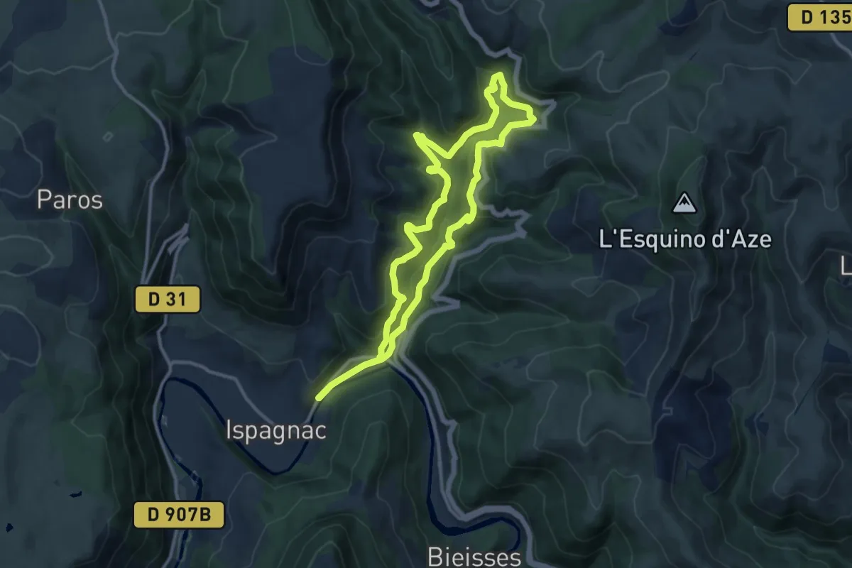
Medium · Trail
Rocher des Fées
10.9 km · ↑ 476 m · 3 h 45 min · 8 km away
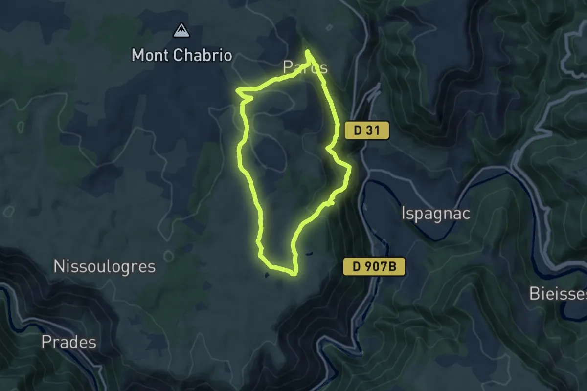
Medium · Trail
Paros
10.1 km · ↑ 391 m · 3 h 22 min · 8 km away
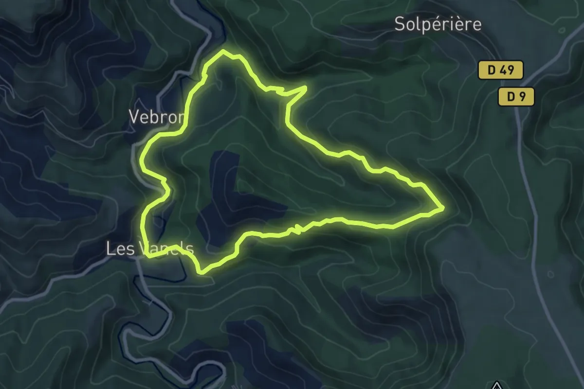
Medium · Trail
Broussous
8.3 km · ↑ 306 m · 2 h 44 min · 10 km away
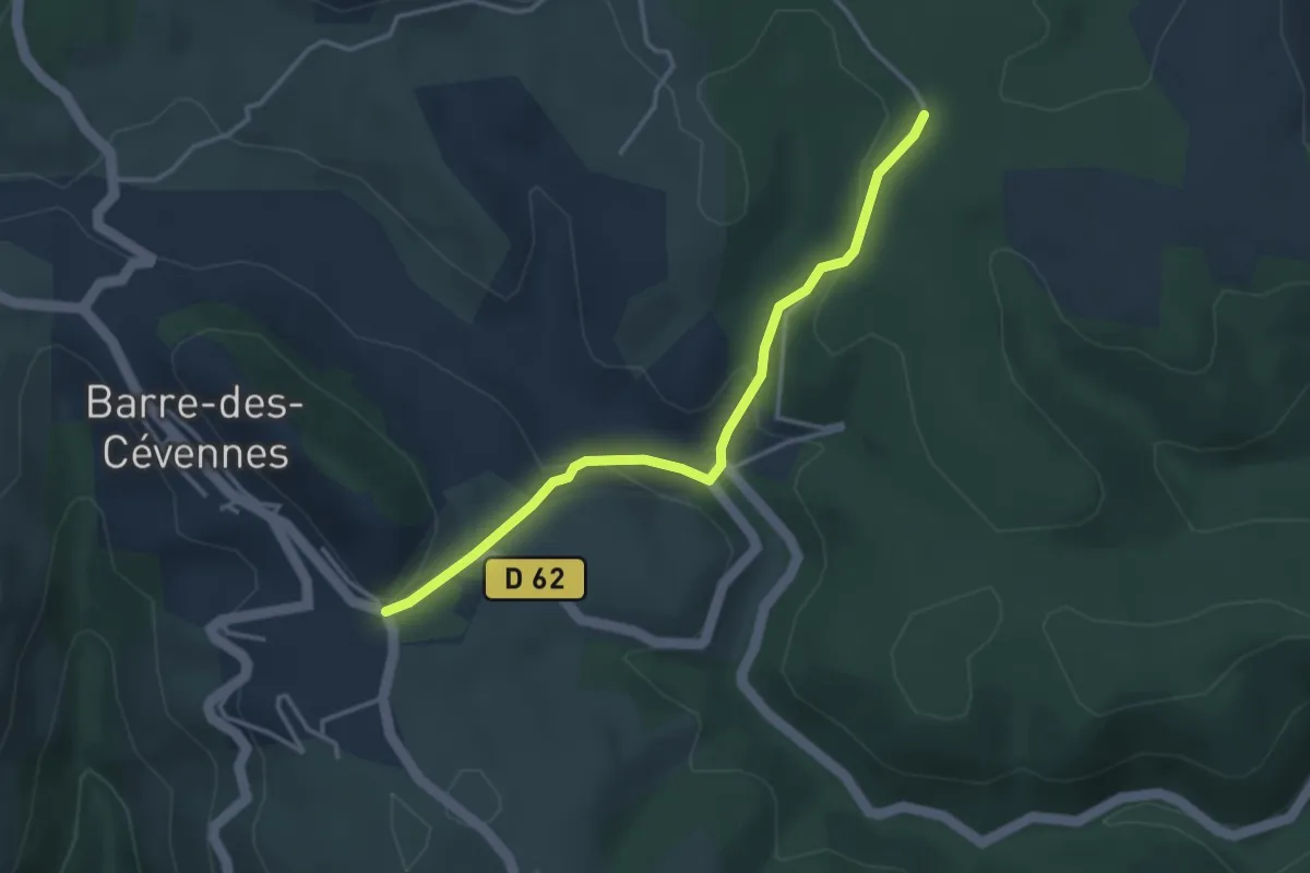
Easy · Trail
SPHC, variante étape 04
3.6 km · ↑ 144 m · 1 h 9 min · 10 km away
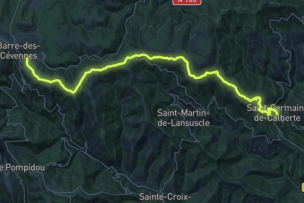
Medium · Trail
SPHC, étape 03
17.3 km · ↑ 331 m · 5 h 16 min · 10 km away
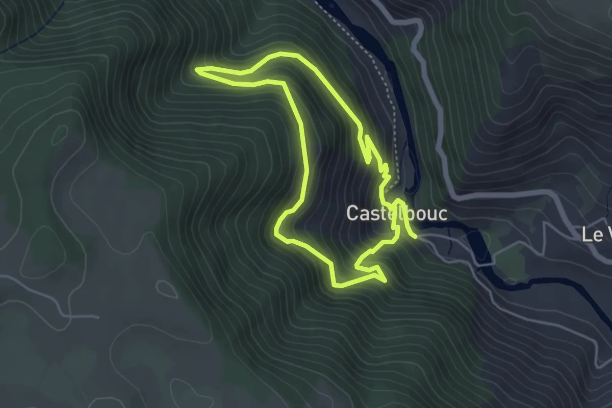
Easy · Trail
Castelbouc
3.8 km · ↑ 297 m · 1 h 36 min · 10 km away
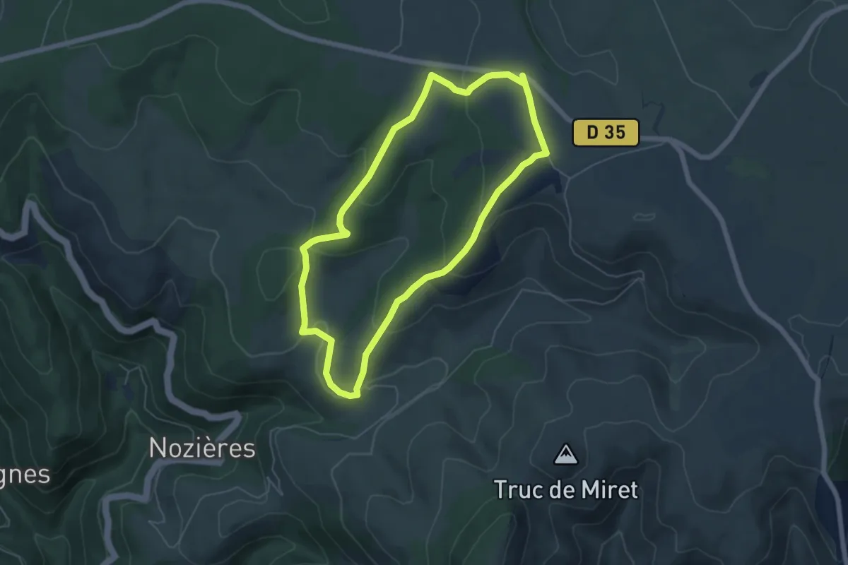
Easy · Trail
Balade au pays des menhirs
5.4 km · ↑ 177 m · 1 h 44 min · 11 km away
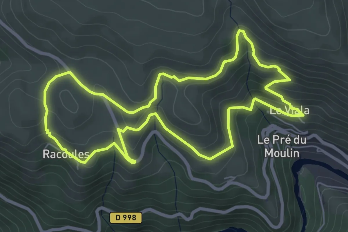
Easy · Trail
Le Viala - Racoules
6.0 km · ↑ 273 m · 2 h 5 min · 11 km away
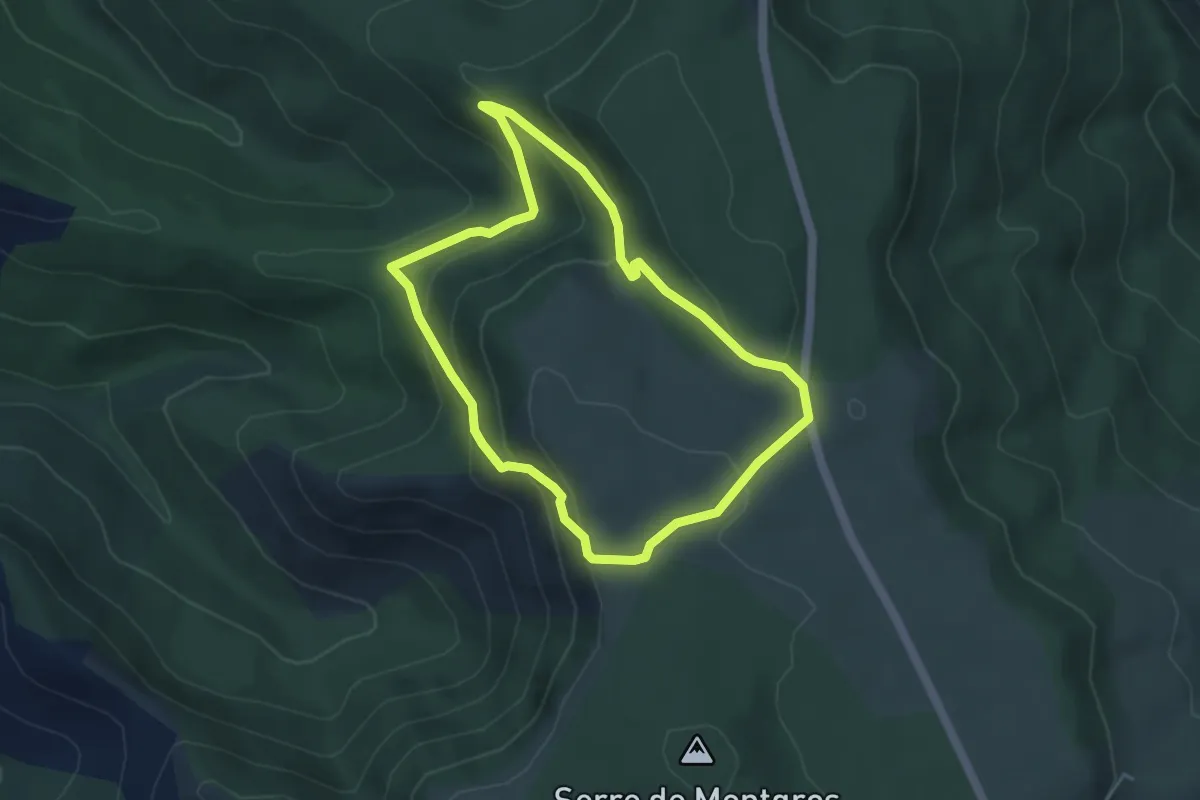
Medium · Trail
Les corniches de l'Hospitalet
4.1 km · ↑ 209 m · 1 h 29 min · 11 km away
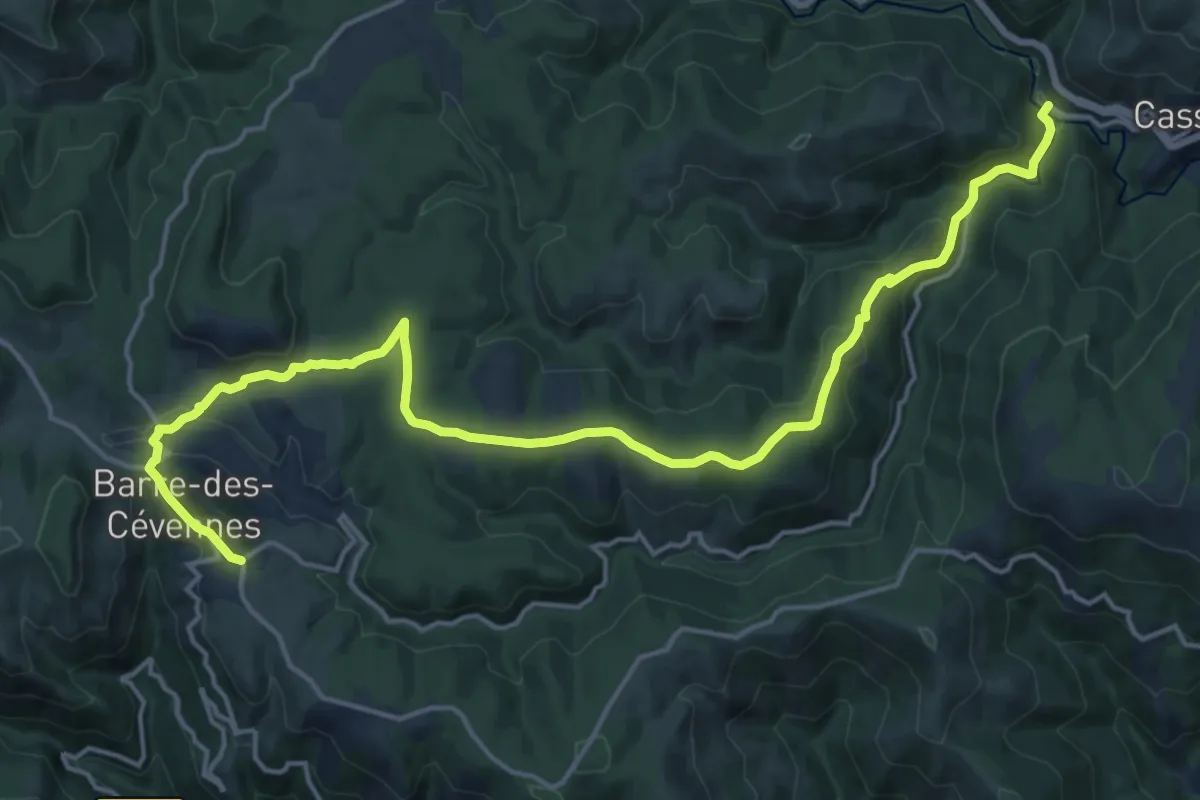
Demanding · Trail
SPHC, étape 04
21.1 km · ↑ 527 m · 6 h 7 min · 12 km away
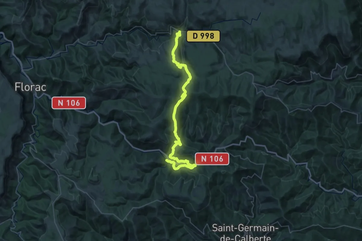
Demanding · Trail
SPHC, étape 05
20.0 km · ↑ 826 m · 6 h 42 min · 12 km away
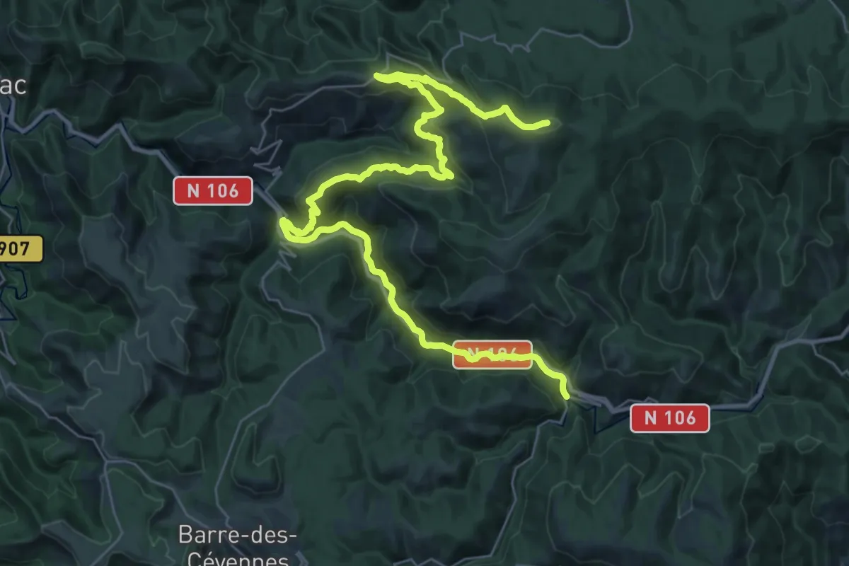
Demanding · Summit
SPHC, variante étape 05
39.6 km · ↑ 1465 m · 12 h 31 min · 12 km away
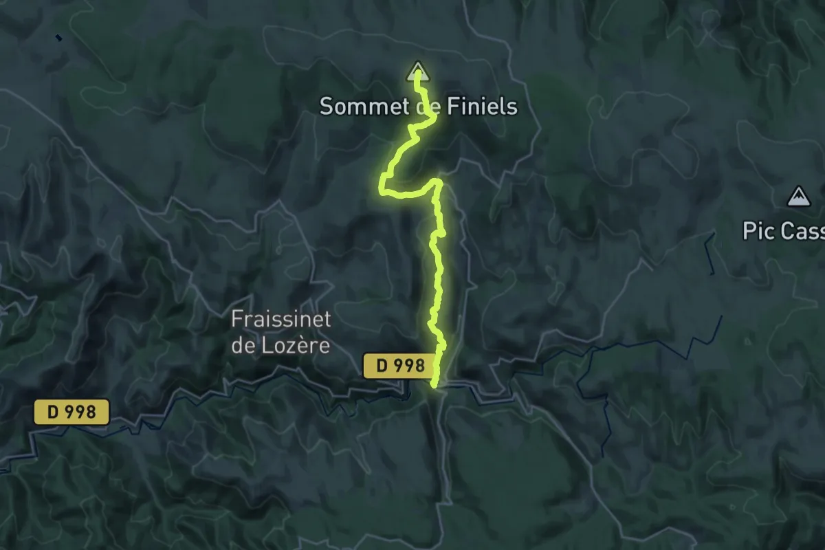
Demanding · Summit
Chemin de Stevenson - Part 6
21.4 km · ↑ 886 m · 6 h 58 min · 13 km away
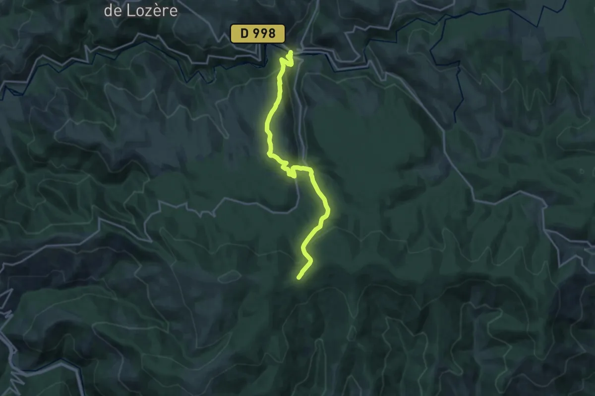
Medium · Trail
Le Pont de Montvert – Col de la Planette
15.2 km · ↑ 631 m · 4 h 57 min · 13 km away
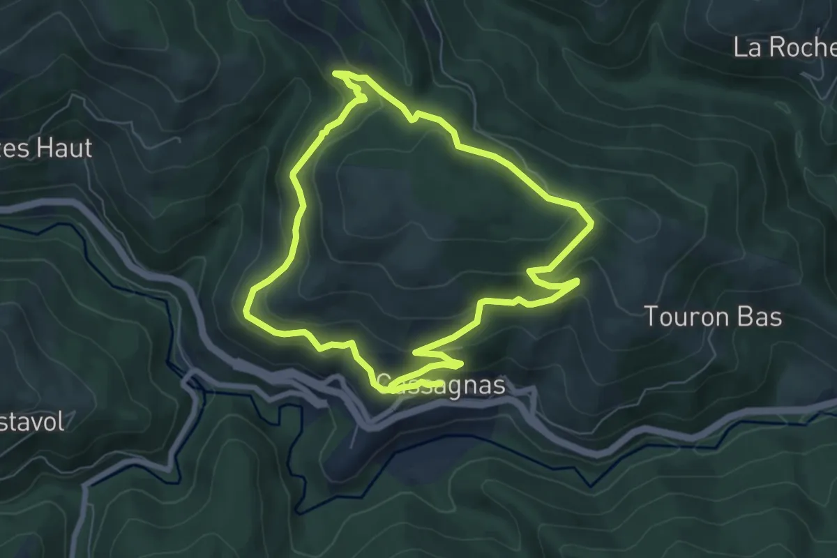
Medium · Trail
Col de la Planette
6.6 km · ↑ 280 m · 2 h 16 min · 13 km away
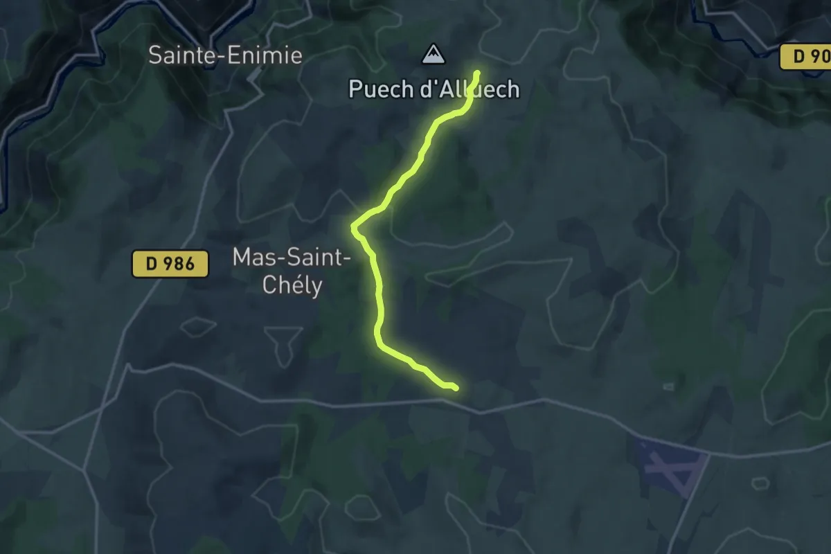
Medium · Trail
CSG 06C2 : Carrefour GR - Mas de Val
11.7 km · ↑ 161 m · 3 h 6 min · 13 km away
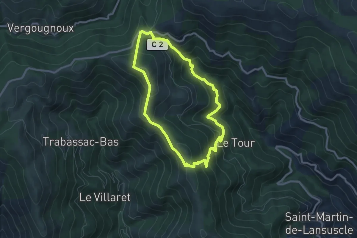
Medium · Trail
Fontmort
6.3 km · ↑ 366 m · 2 h 22 min · 13 km away
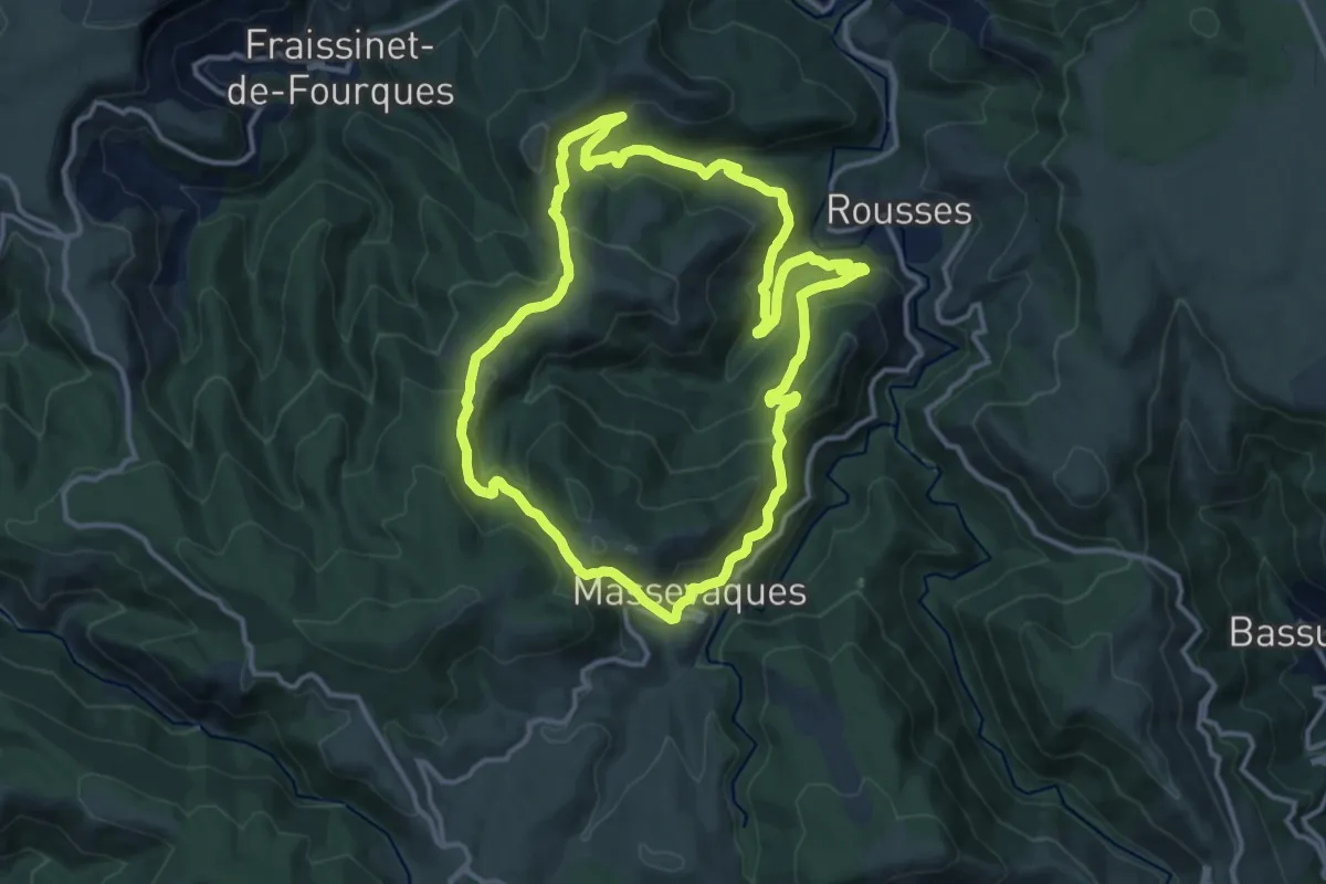
Medium · Trail
Massevaques
13.4 km · ↑ 613 m · 4 h 40 min · 13 km away
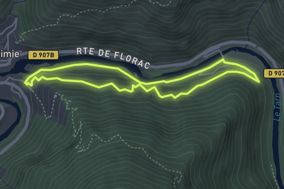
Medium · Trail
Les berges
3.6 km · ↑ 180 m · 1 h 17 min · 14 km away
Medium · Trail
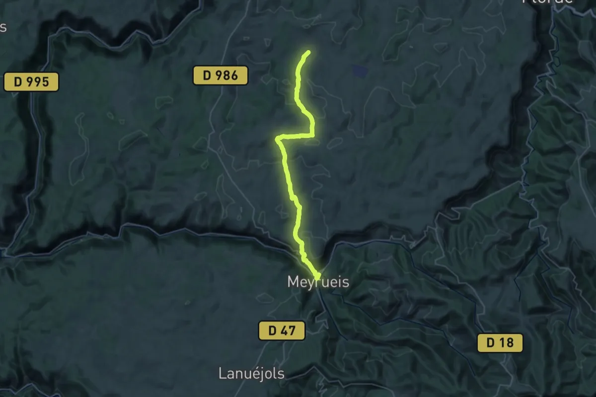
CSG 07 : Mas de Val - Meyrueis
17.1 km · ↑ 316 m · 5 h 4 min · 14 km away
Medium · Summit
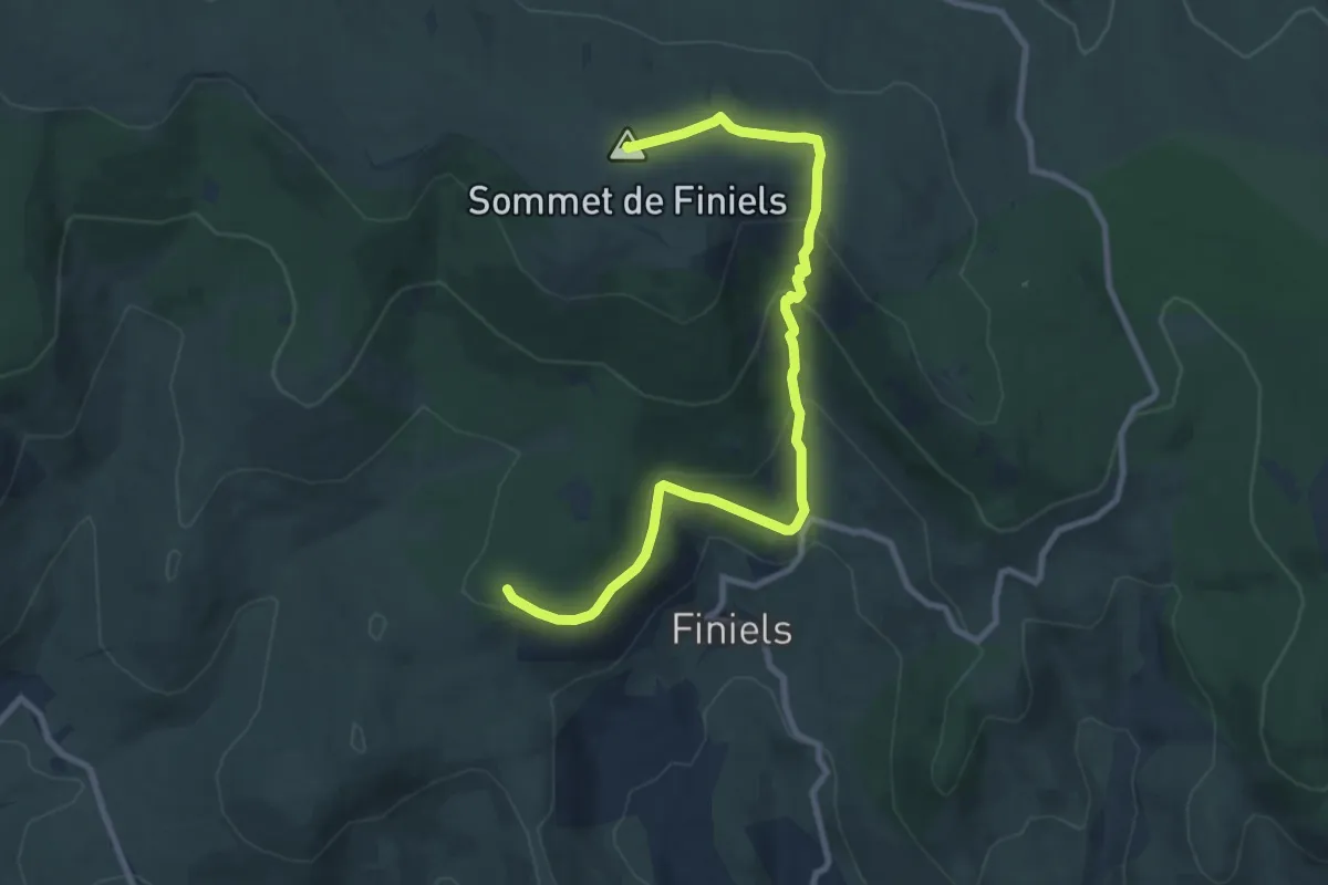
Chemin de Malevrère
10.5 km · ↑ 463 m · 3 h 29 min · 14 km away
Medium · Trail
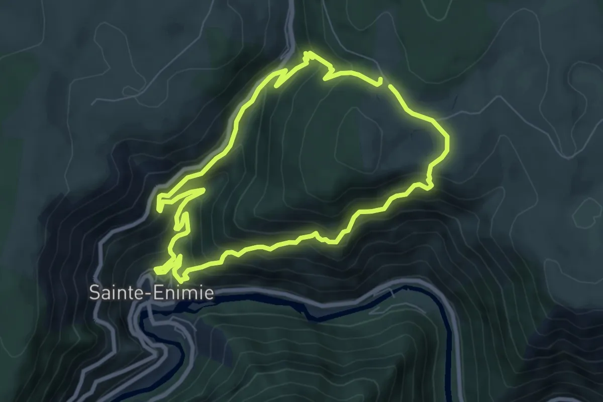
Domaine des Boissets
7.1 km · ↑ 519 m · 2 h 54 min · 14 km away
Medium · Trail
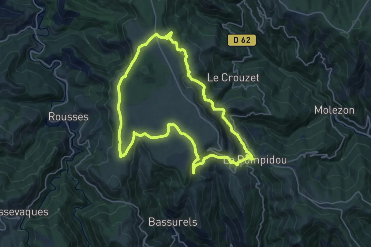
Bézuc
16.0 km · ↑ 475 m · 5 h 1 min · 15 km away