Trails near Foix
26 hikes starting within 15 km, nearest first.
Nearest first
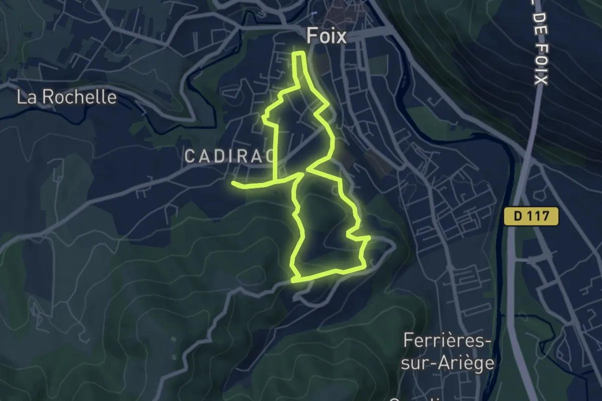
Easy · Trail
Un chemin, une école® Cadirac Foix - 2024 "La Montagne en Ville"
5.8 km · ↑ 184 m · 1 h 51 min · under 1 km away
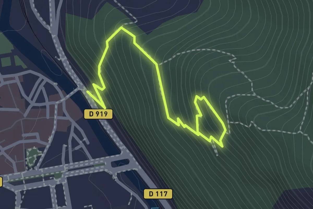
Easy · Trail
Les Terrasses du Pech de Foix
2.8 km · ↑ 265 m · 1 h 14 min · 1 km away
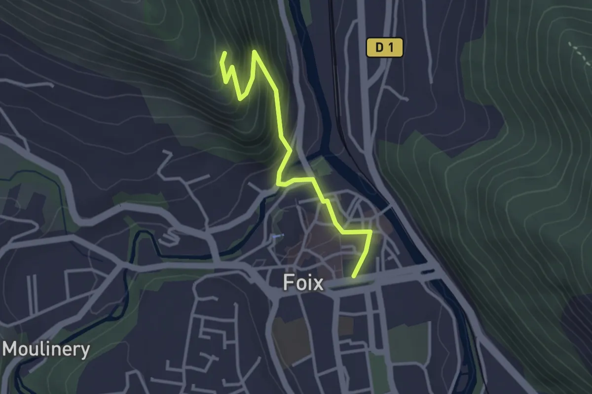
Easy · Trail
Balade du Saint-Sauveur de Foix
3.2 km · ↑ 225 m · 1 h 15 min · 1 km away
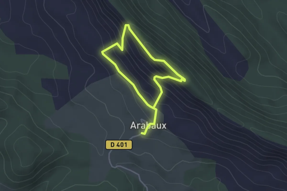
Easy · Trail
Le Pas du Facteur
5.1 km · ↑ 314 m · 1 h 53 min · 4 km away
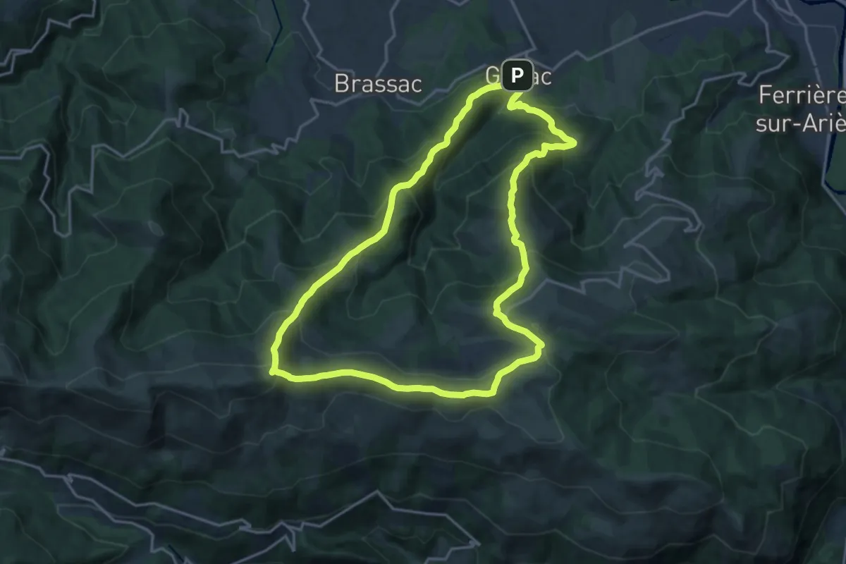
Demanding · Summit
Le Picou depuis Ganac
16.9 km · ↑ 1115 m · 6 h 39 min · 4 km away
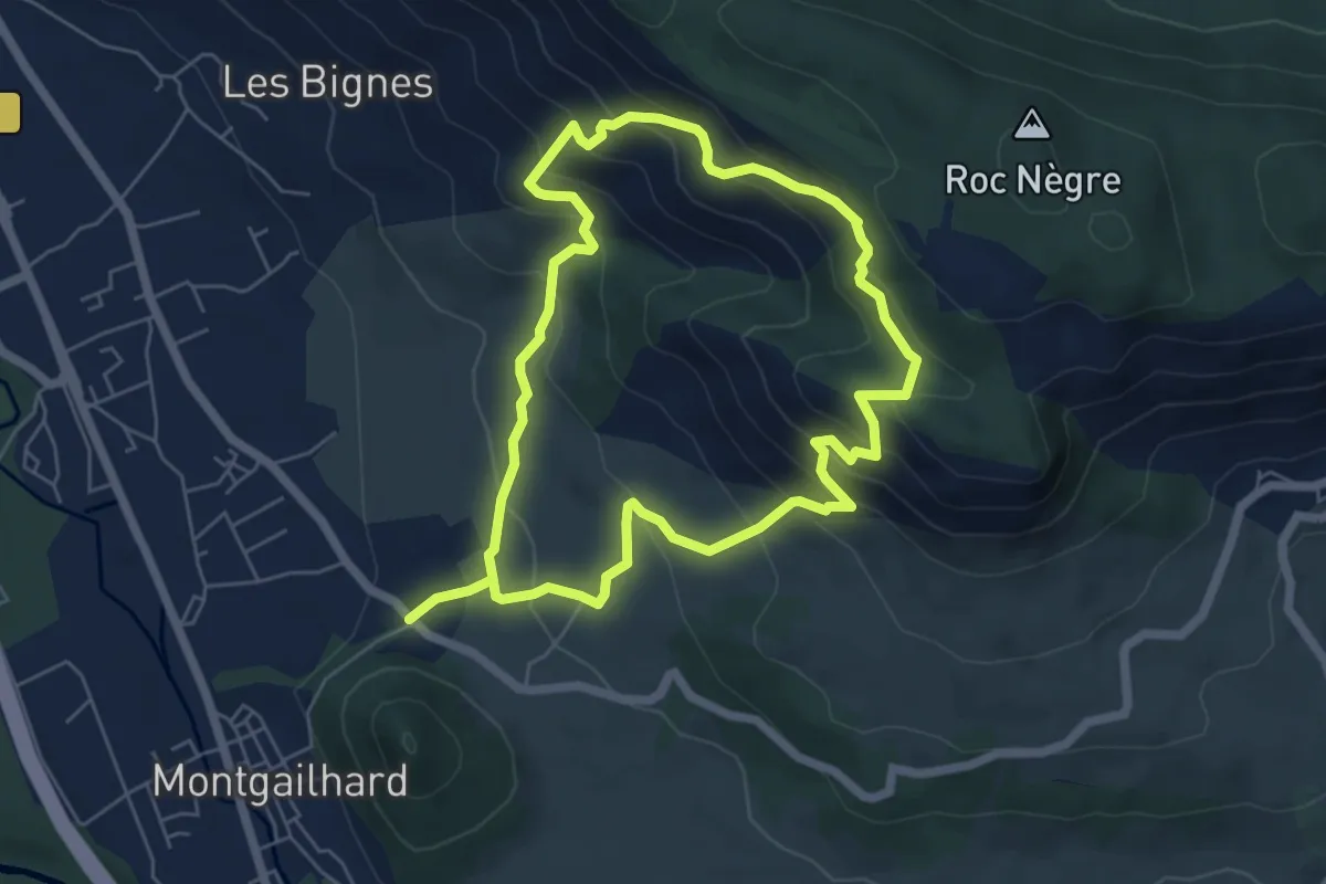
Demanding · Trail
Balade du Pech de Montgailhard
11.8 km · ↑ 887 m · 4 h 42 min · 4 km away
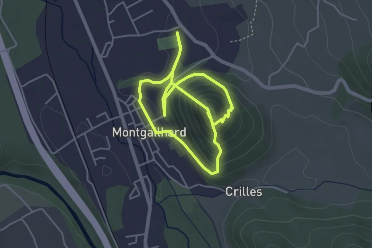
Medium · Trail
Le Pic de Montgailhard
7.2 km · ↑ 398 m · 2 h 34 min · 4 km away
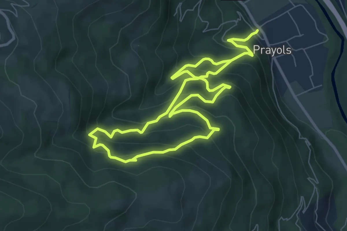
Demanding · Trail
Le Chemin des Trois Cascades
13.1 km · ↑ 1043 m · 5 h 22 min · 4 km away
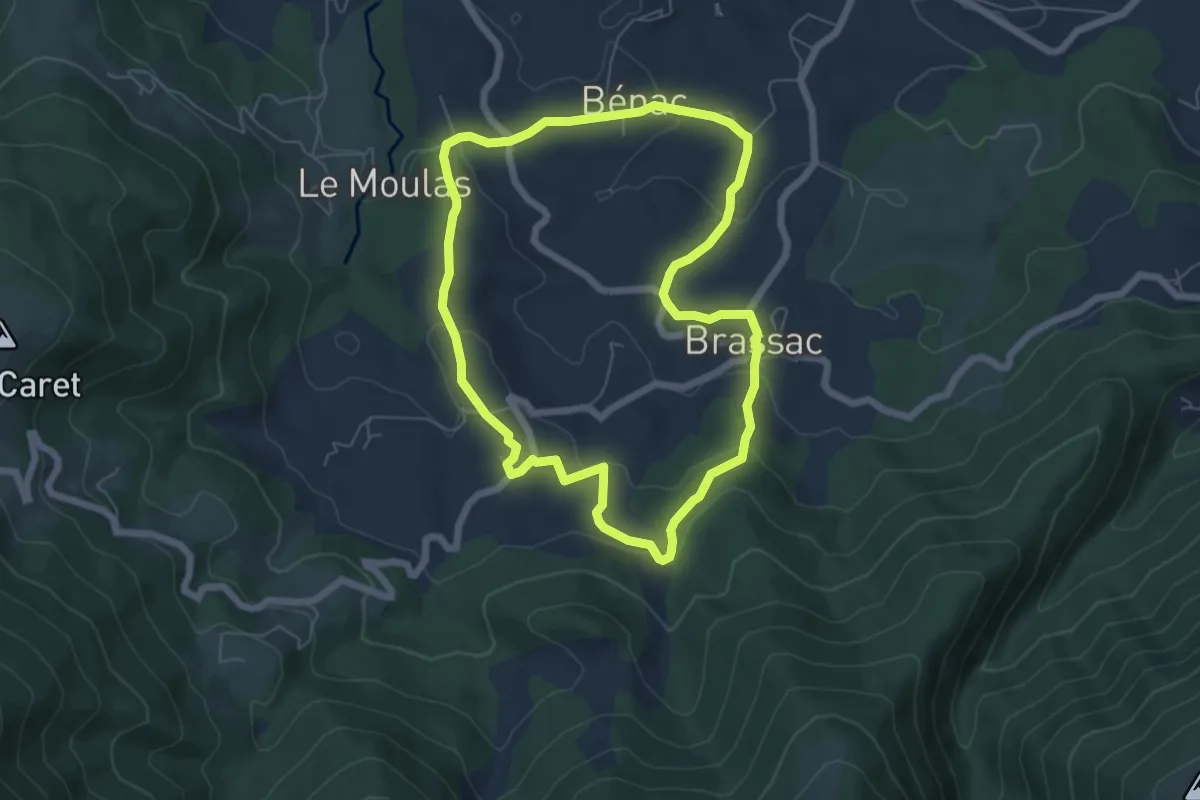
Easy · Trail
La Boucle de Brassac
6.2 km · ↑ 182 m · 1 h 56 min · 6 km away
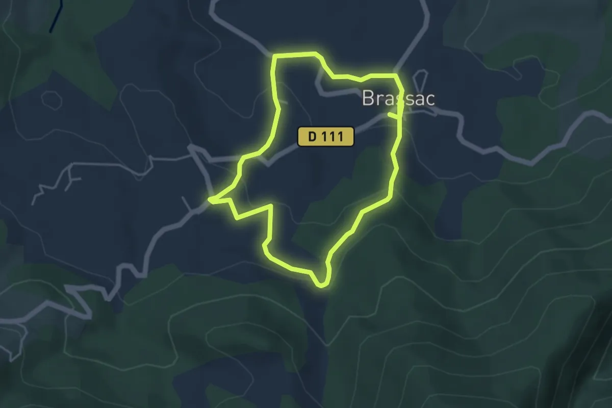
Easy · Trail
Une Chemin Une École
3.7 km · ↑ 118 m · 1 h 11 min · 6 km away
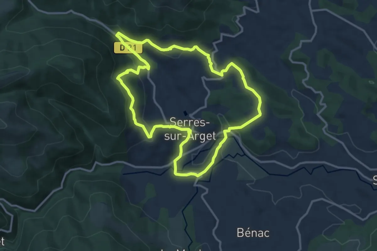
Medium · Trail
Tour des Hameaux
9.3 km · ↑ 287 m · 2 h 57 min · 7 km away
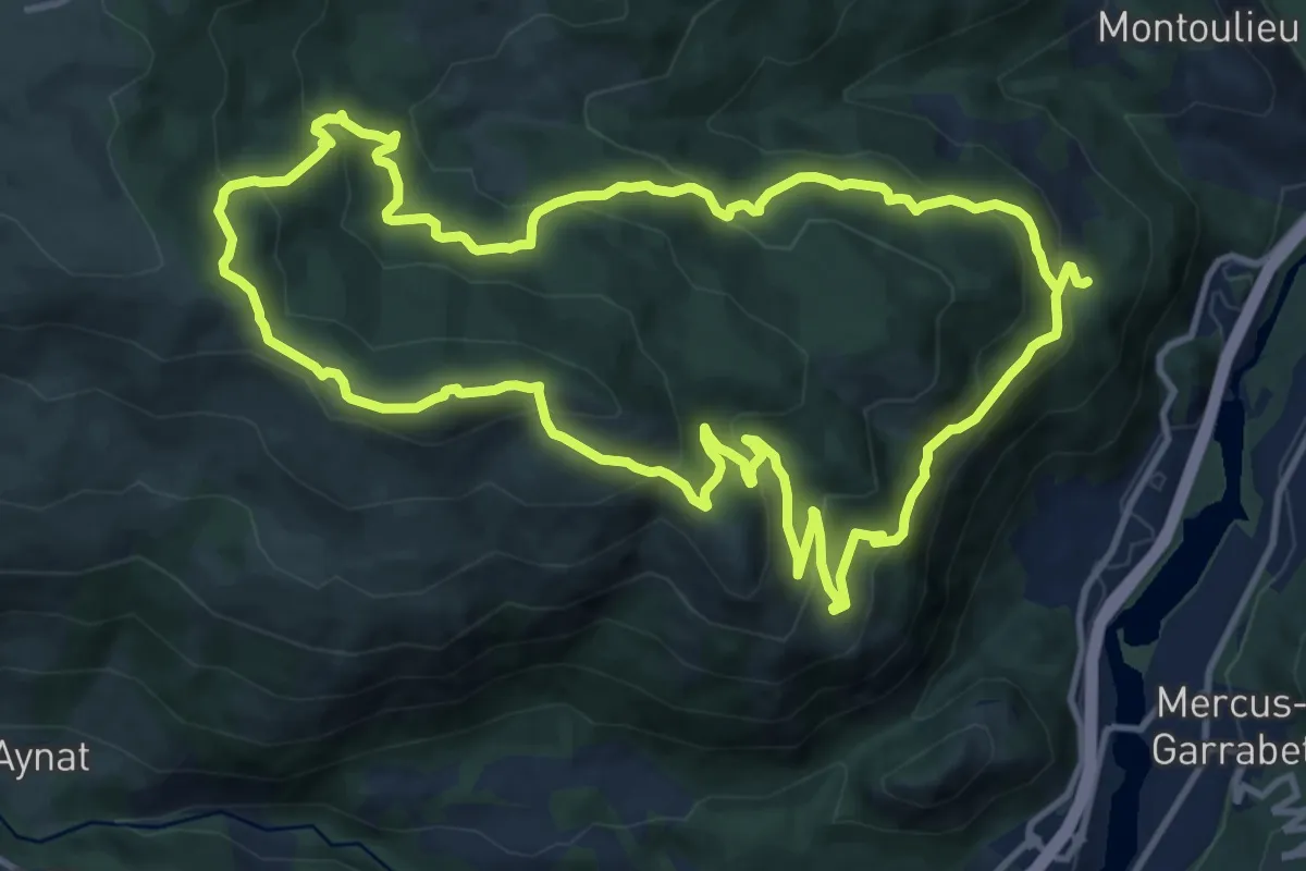
Medium · Summit
Circuit du Taus
13.6 km · ↑ 765 m · 5 h 2 min · 7 km away
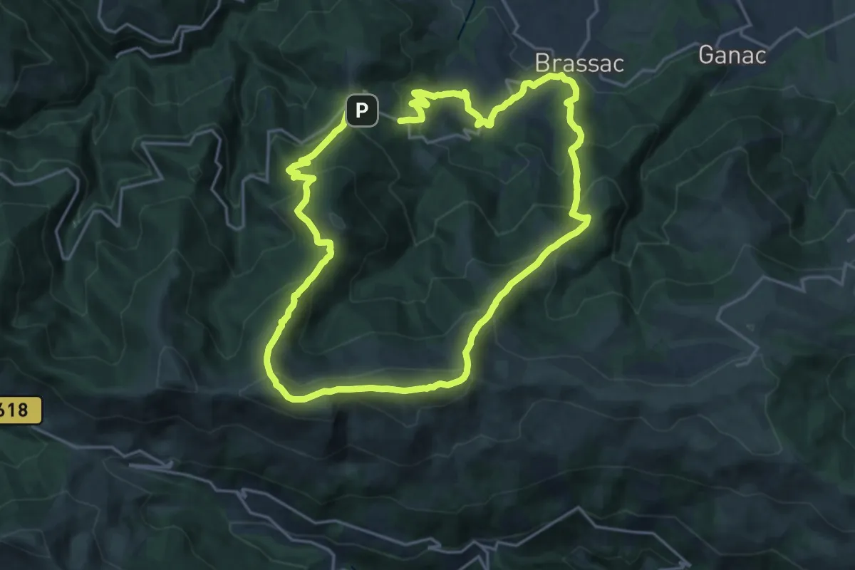
Demanding · Summit
Le Picou depuis Brassac
17.7 km · ↑ 1101 m · 6 h 52 min · 9 km away
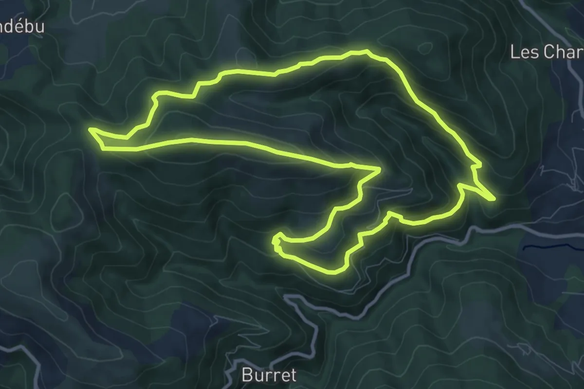
Medium · Trail
La Randonnée de la Grasale
10.8 km · ↑ 551 m · 3 h 54 min · 10 km away
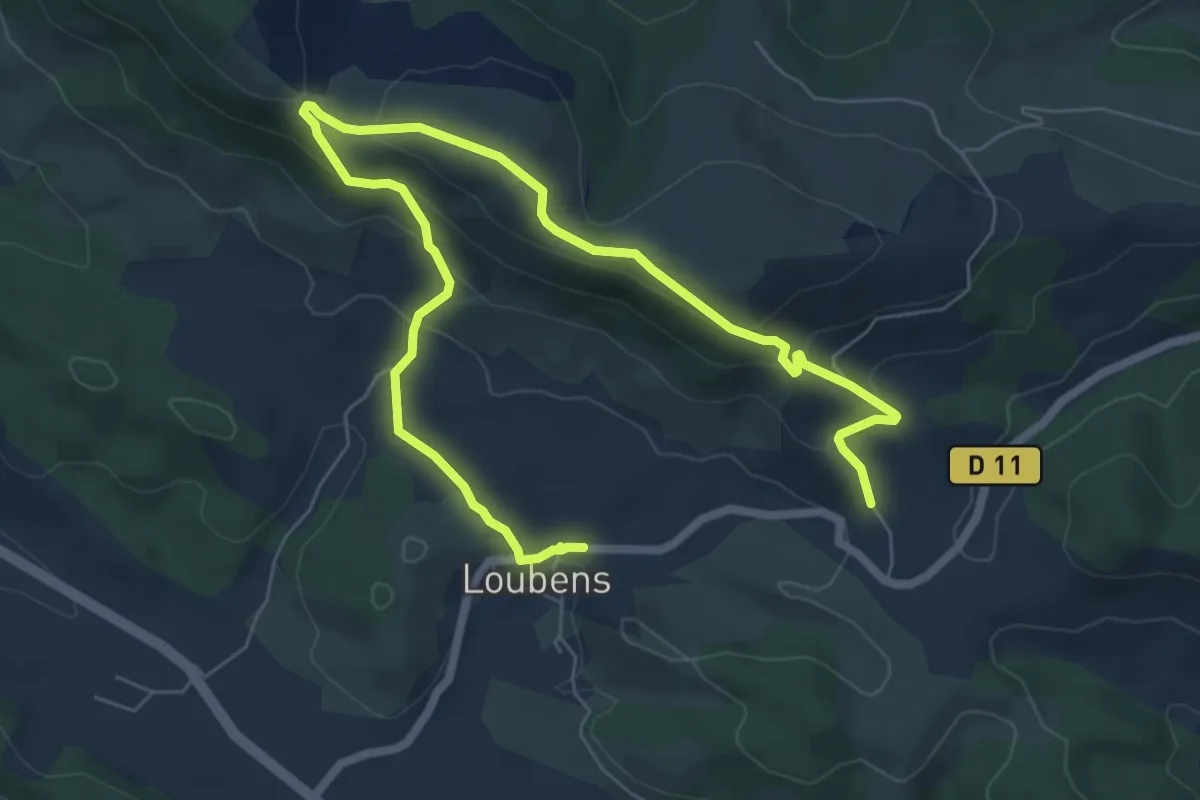
Easy · Trail
Le Pech de Limouzy
4.8 km · ↑ 268 m · 1 h 45 min · 10 km away
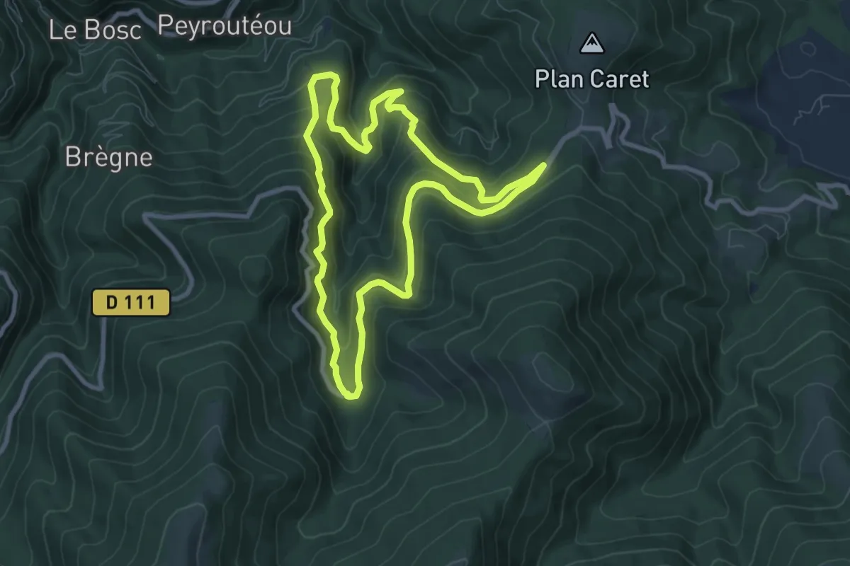
Medium · Trail
Tour du moulin
8.1 km · ↑ 482 m · 3 h 4 min · 10 km away
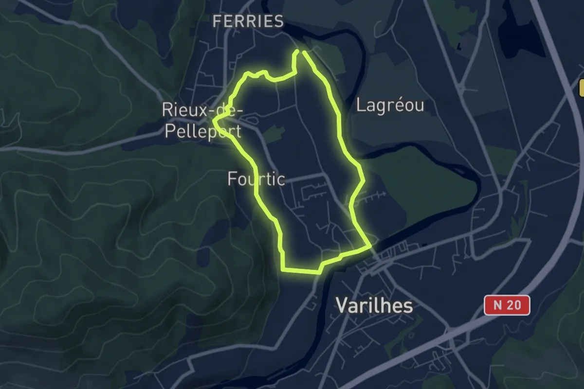
Easy · Trail
Le Tour de Vals
5.5 km · ↑ 45 m · 1 h 27 min · 11 km away
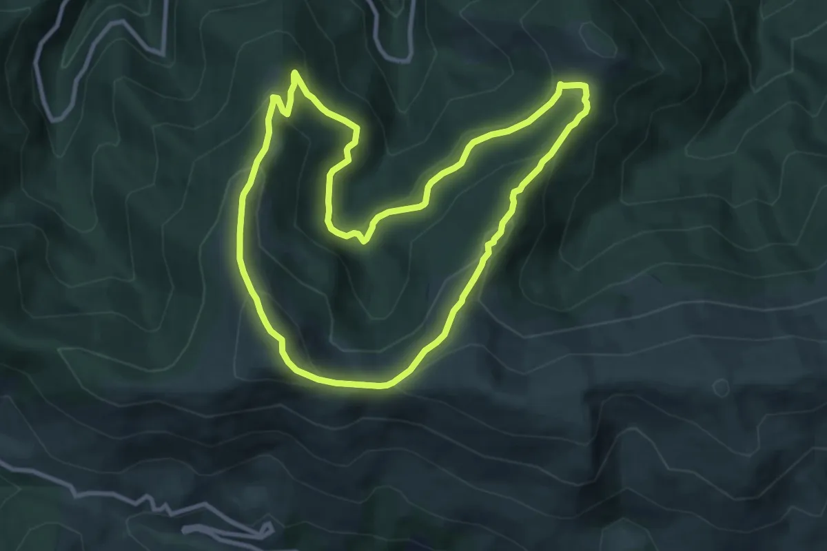
Medium · Summit
La Pastorale en Barguillère
9.3 km · ↑ 479 m · 3 h 22 min · 11 km away
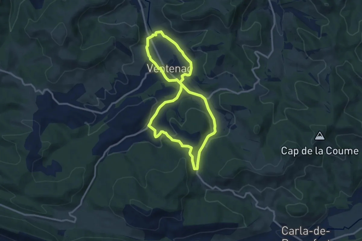
Medium · Trail
Circuit du Bousquet
8.1 km · ↑ 167 m · 2 h 23 min · 12 km away
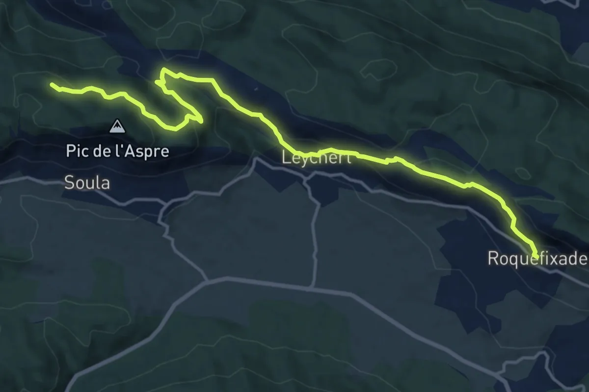
Medium · Summit
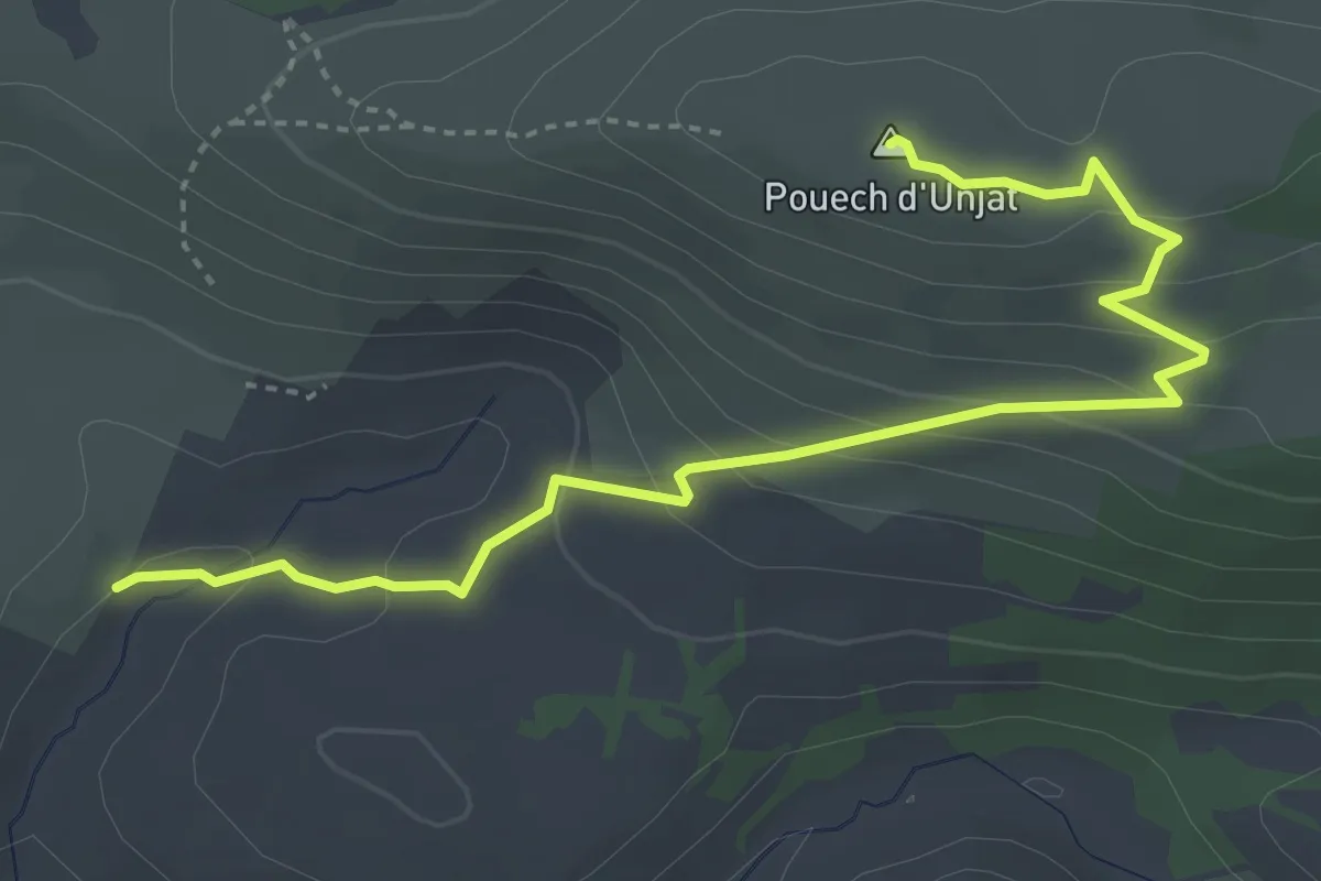
SC 12 : Roquefixade - Foix
15.8 km · ↑ 718 m · 5 h 17 min · 13 km away
Demanding · Summit
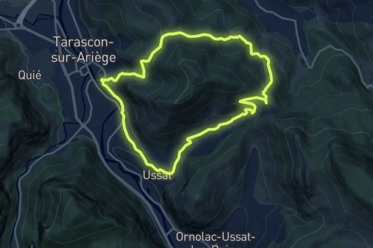
Boucle de Riou Sarclès
4.7 km · ↑ 233 m · 1 h 37 min · 13 km away
Medium · Trail
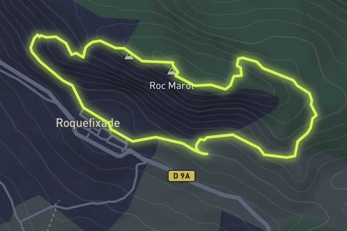
Le Tour de la Pique
9.7 km · ↑ 528 m · 3 h 34 min · 13 km away
Easy · Summit
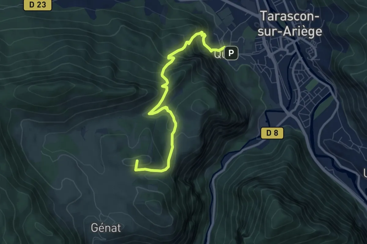
Randonnée à Roquefixade
3.7 km · ↑ 222 m · 1 h 24 min · 13 km away
Medium · Summit
Chemin de Génat
8.6 km · ↑ 576 m · 3 h 17 min · 13 km away
Easy · Trail
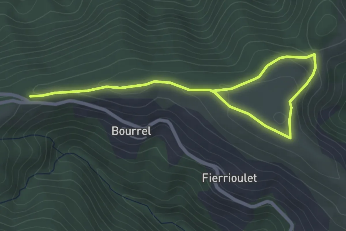
La Balade du Planel
3.1 km · ↑ 98 m · 57 min · 14 km away
Easy · Trail
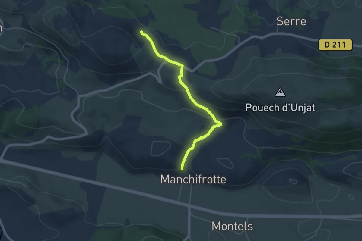
Circuit de l'Aujole à la Lèze
4.6 km · ↑ 148 m · 1 h 24 min · 14 km away