Trails near Fréjus
18 hikes starting within 15 km, nearest first.
Nearest first
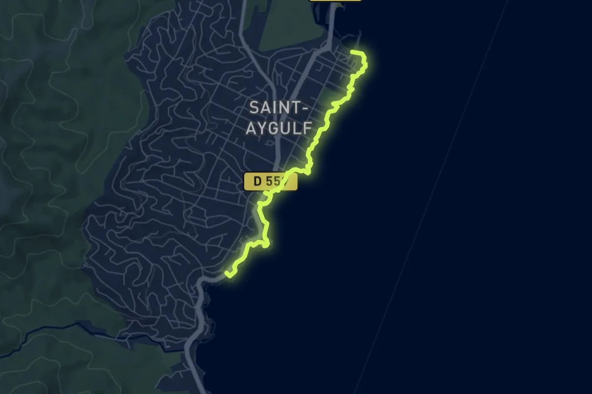
Easy · Trail
Sentier du littoral – Saint-Aygulf
6.7 km · ↑ 48 m · 1 h 41 min · 5 km away
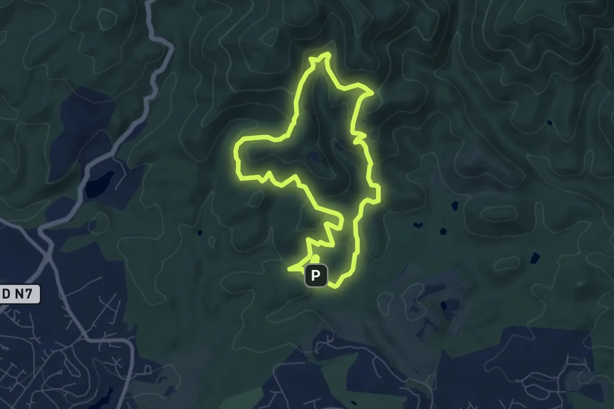
Easy · Trail
La Louve (bleu)
7.2 km · ↑ 287 m · 2 h 26 min · 6 km away
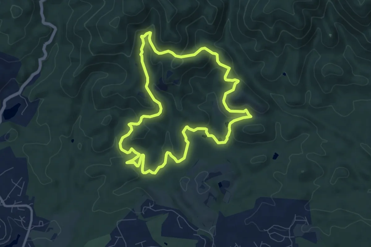
Medium · Summit
La Louve (jaune)
8.6 km · ↑ 248 m · 2 h 42 min · 7 km away
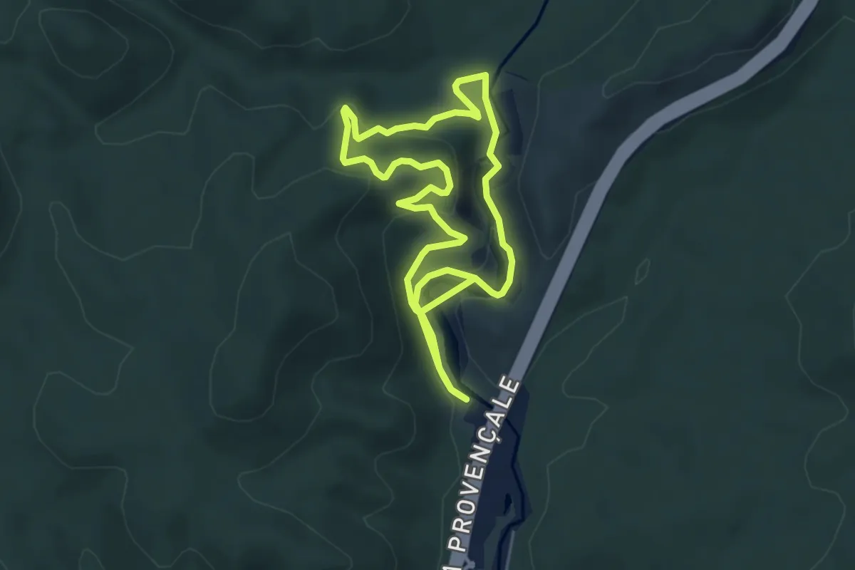
Medium · Trail
Boucle du barrage de Malpasset
9.6 km · ↑ 367 m · 3 h 4 min · 8 km away
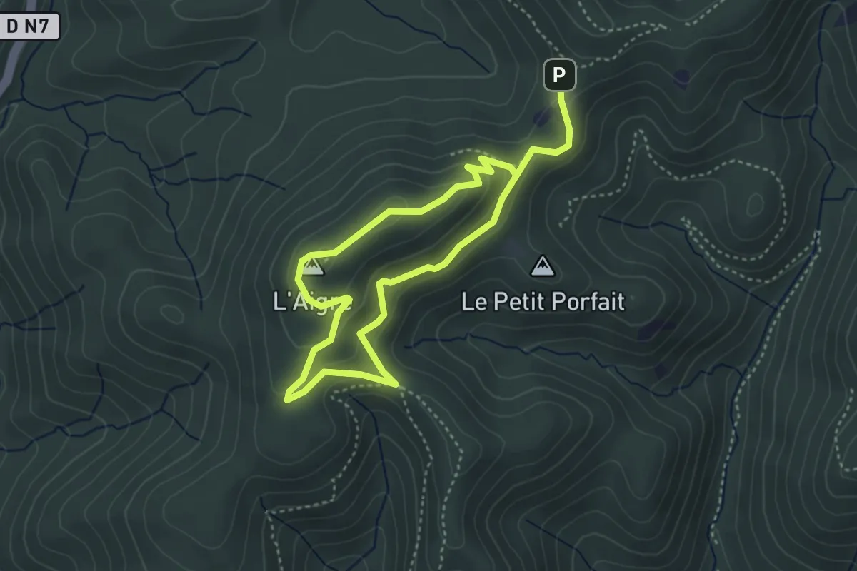
Easy · Summit
Le Malpey (bleu)
3.3 km · ↑ 157 m · 1 h 9 min · 9 km away
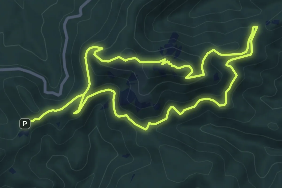
Medium · Summit
Le Malpey (jaune)
8.1 km · ↑ 397 m · 2 h 52 min · 9 km away
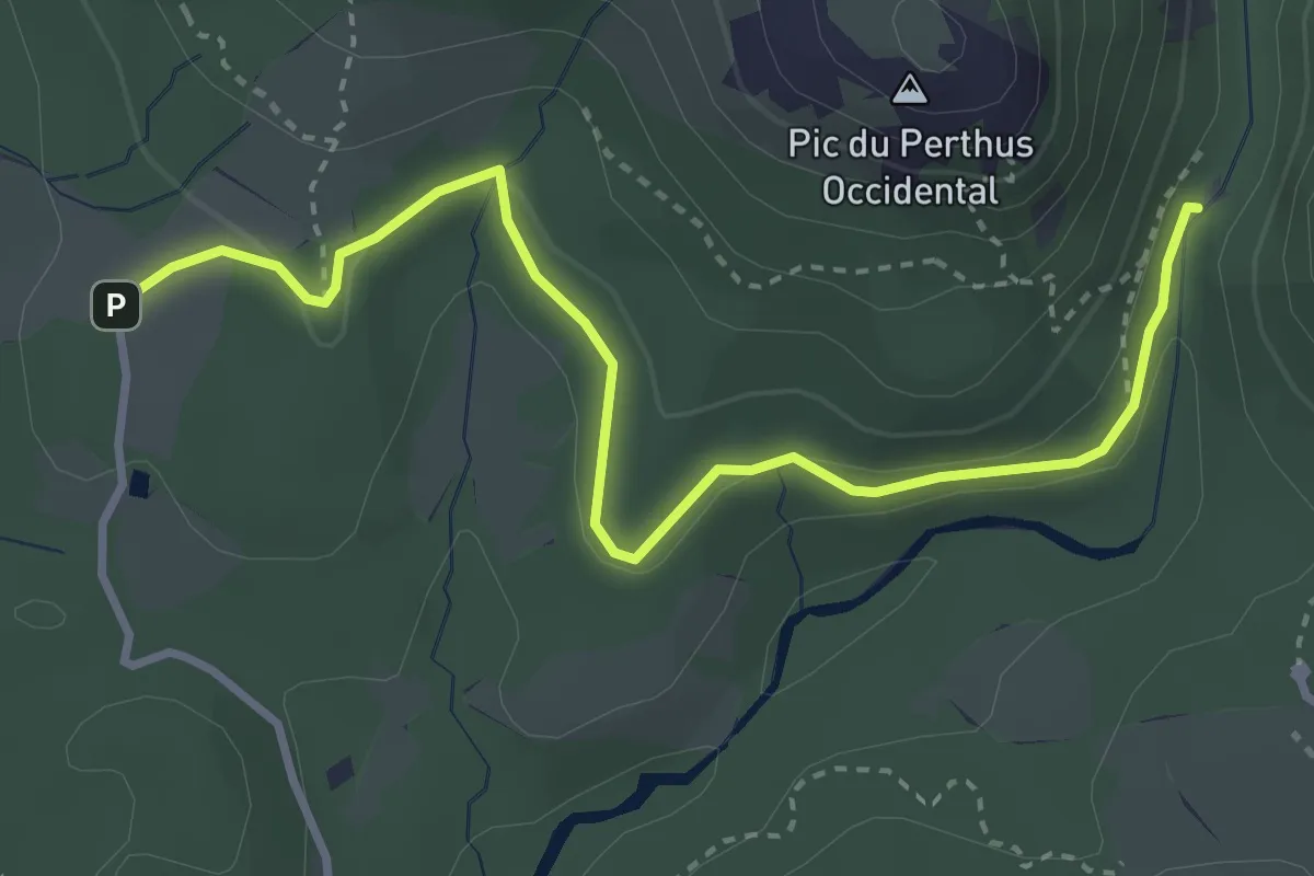
Easy · Trail
Roussivau (rose)
2.0 km · ↑ 33 m · 34 min · 9 km away
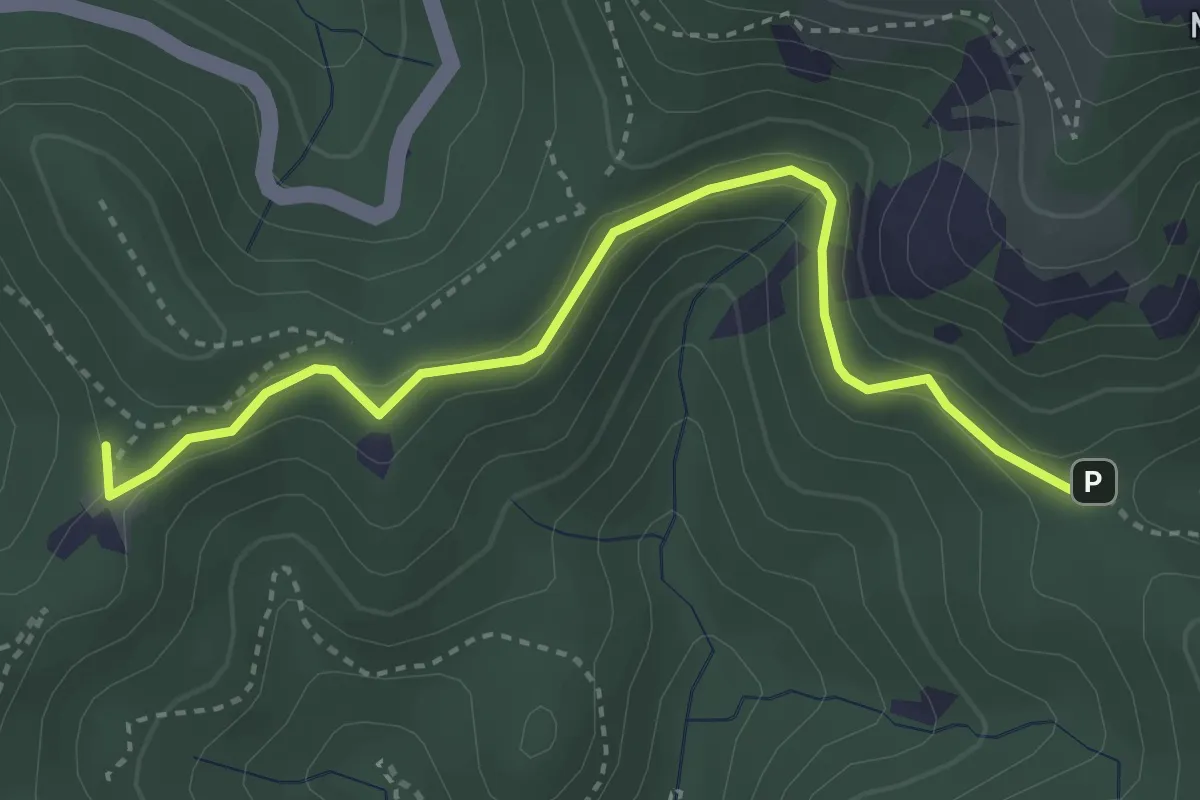
Easy · Trail
Le Malpey (rose)
2.0 km · ↑ 48 m · 36 min · 10 km away
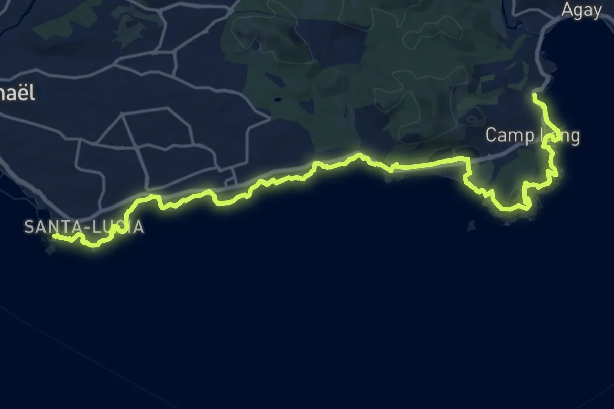
Demanding · Trail
Le sentier du Littoral – Saint-Raphaël
21.1 km · ↑ 332 m · 5 h 42 min · 10 km away
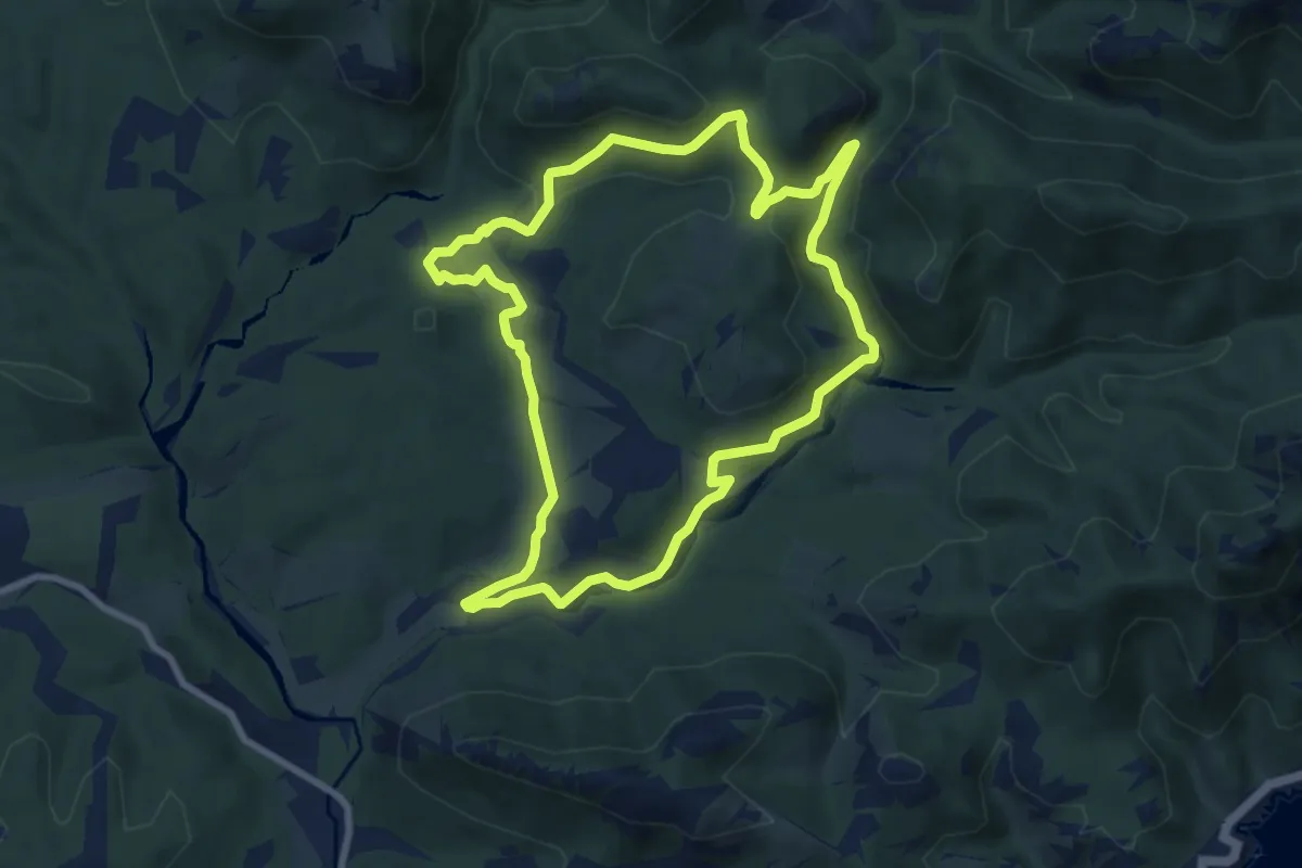
Medium · Trail
Gratadis (jaune)
8.8 km · ↑ 199 m · 2 h 37 min · 10 km away
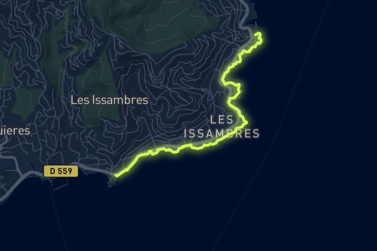
Medium · Trail
Sentier du Littoral Itineraires - Les Issambres
8.4 km · ↑ 46 m · 2 h 5 min · 11 km away
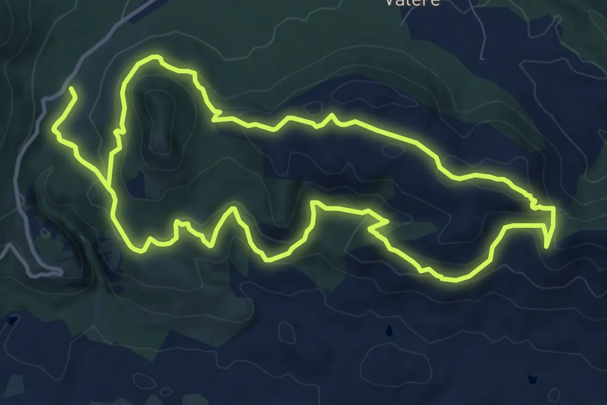
Medium · Trail
La Forteresse les Meules
12.1 km · ↑ 403 m · 3 h 55 min · 11 km away
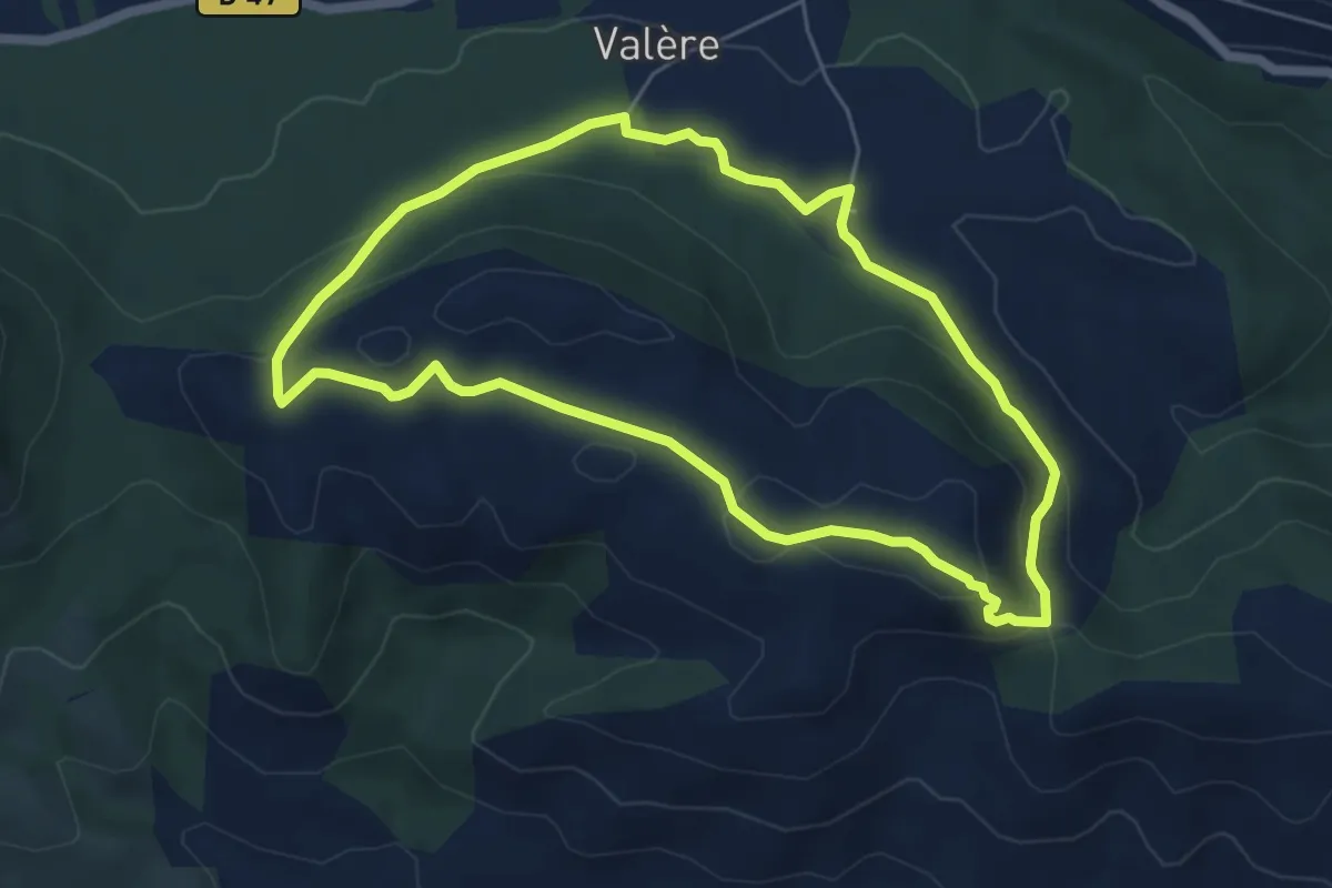
Easy · Trail
Le sentier des Meules
5.8 km · ↑ 166 m · 1 h 48 min · 11 km away
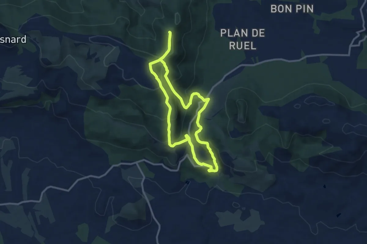
Medium · Trail
Gorges du Blavet Castel Diaou
8.5 km · ↑ 431 m · 3 h 3 min · 11 km away
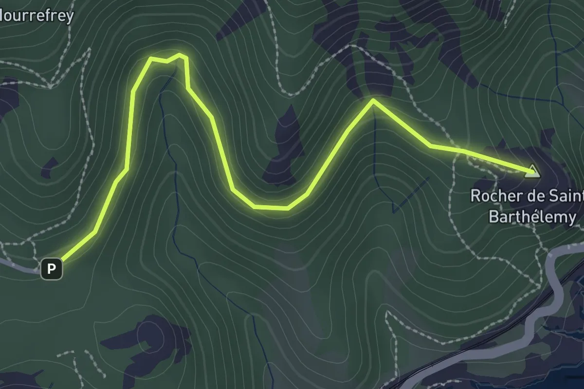
Easy · Summit
Le Cap Roux (rose)
3.4 km · ↑ 178 m · 1 h 11 min · 13 km away
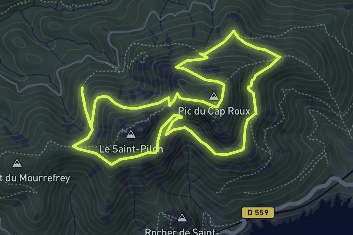
Medium · Summit
Le Cap Roux (bleu)
6.0 km · ↑ 477 m · 2 h 32 min · 13 km away
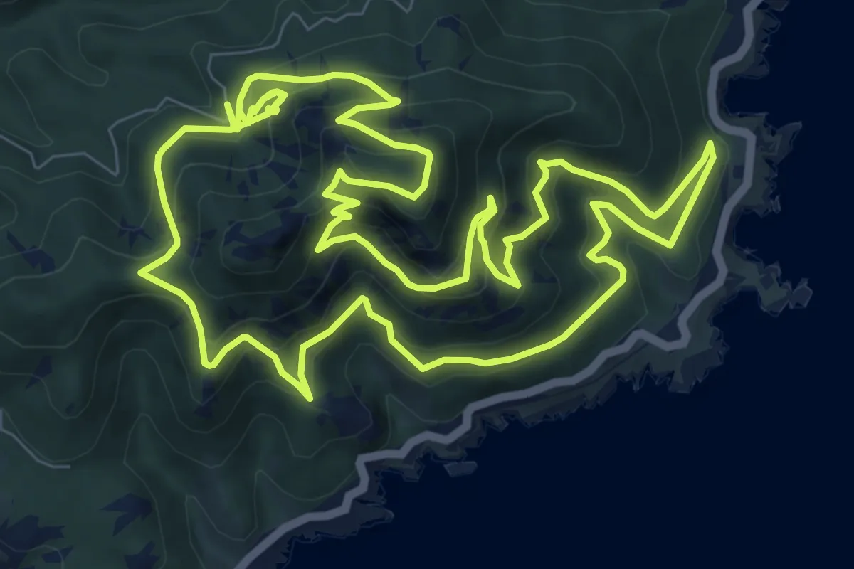
Medium · Summit
Le Cap Roux (jaune)
10.9 km · ↑ 784 m · 4 h 28 min · 14 km away
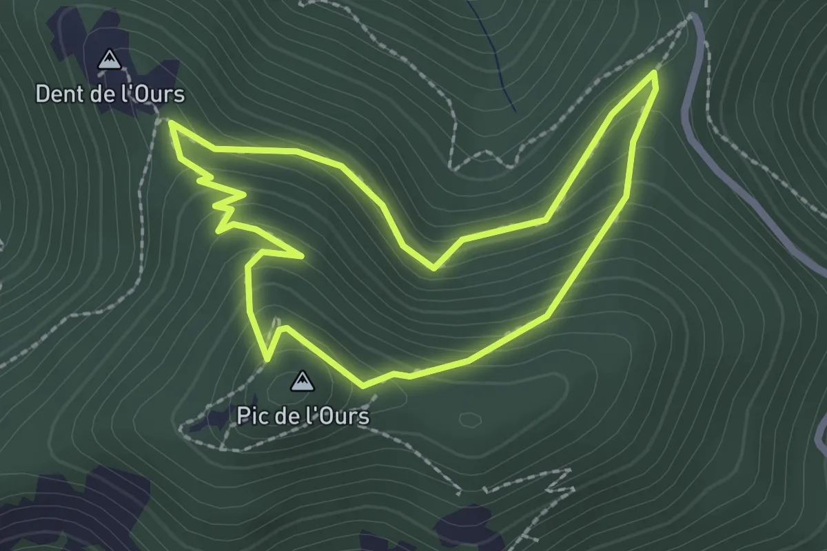
Easy · Summit
Le Trayas (bleu)
2.2 km · ↑ 170 m · 55 min · 15 km away