Trails near Gap
103 hikes starting within 15 km, nearest first.
Nearest first, page 2 of 3
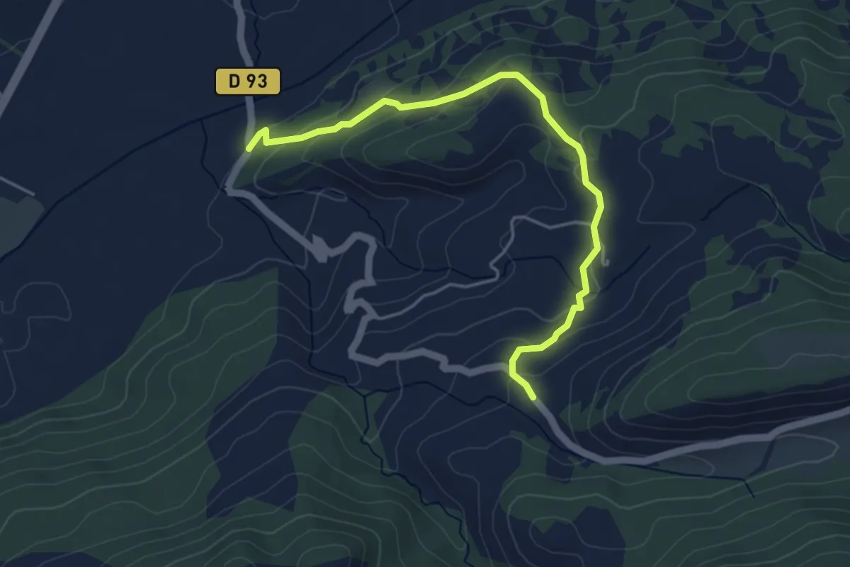
Easy · Trail
Hameau de Fontclaire - ?
4.6 km · ↑ 178 m · 1 h 29 min · 11 km away
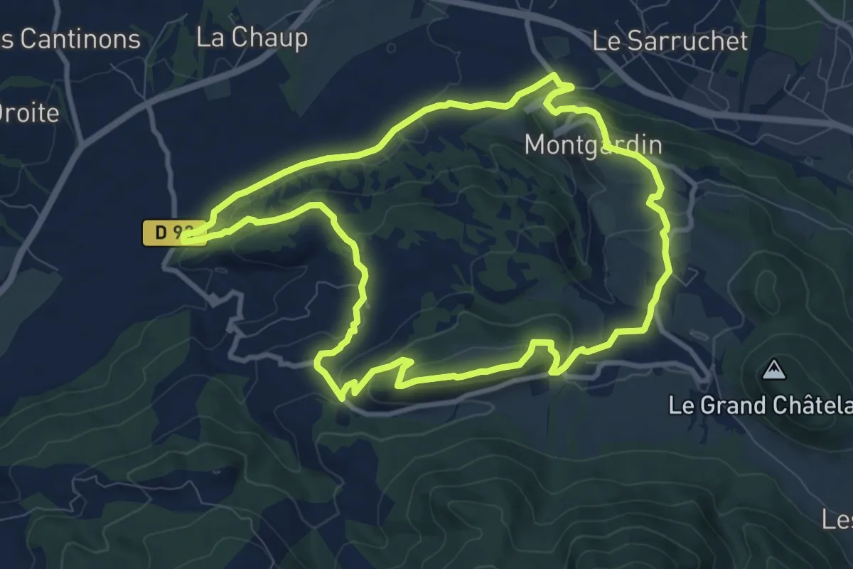
Medium · Trail
Roche Longue
9.8 km · ↑ 305 m · 3 h 6 min · 11 km away
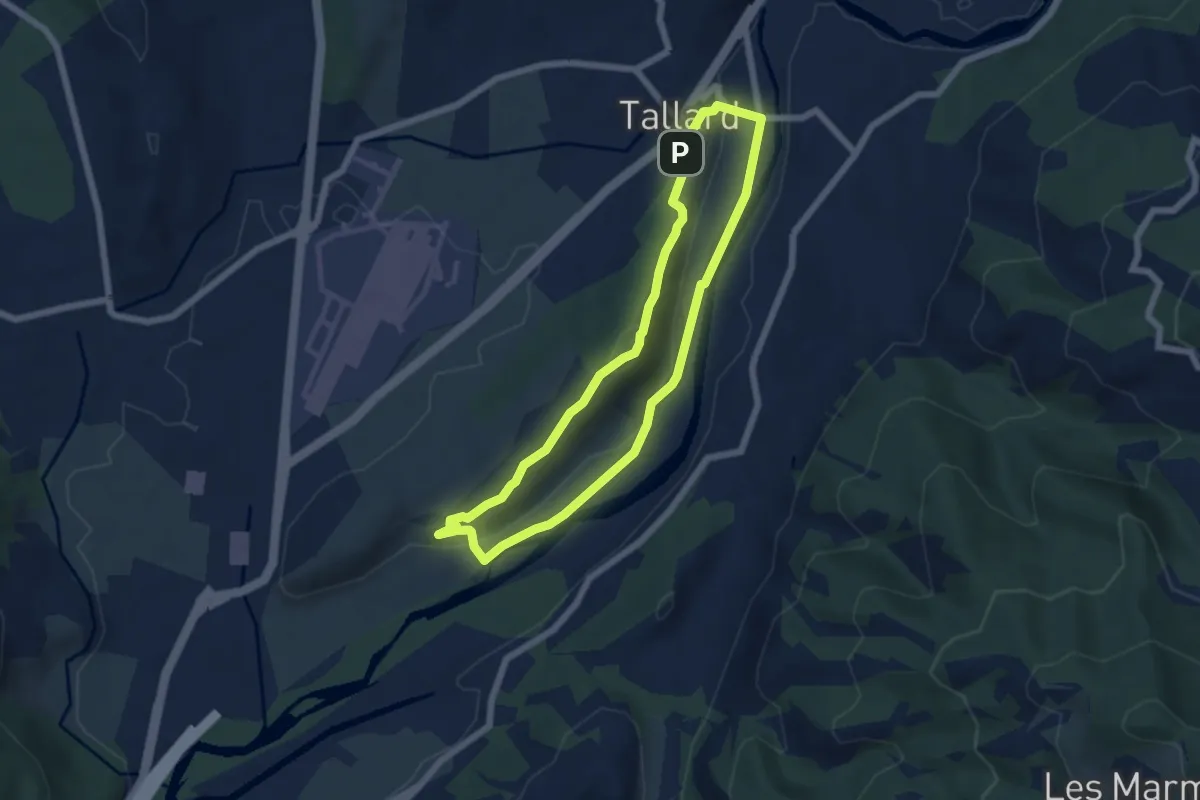
Easy · Summit
Tour de Saint-Abdon
5.7 km · ↑ 129 m · 1 h 43 min · 11 km away
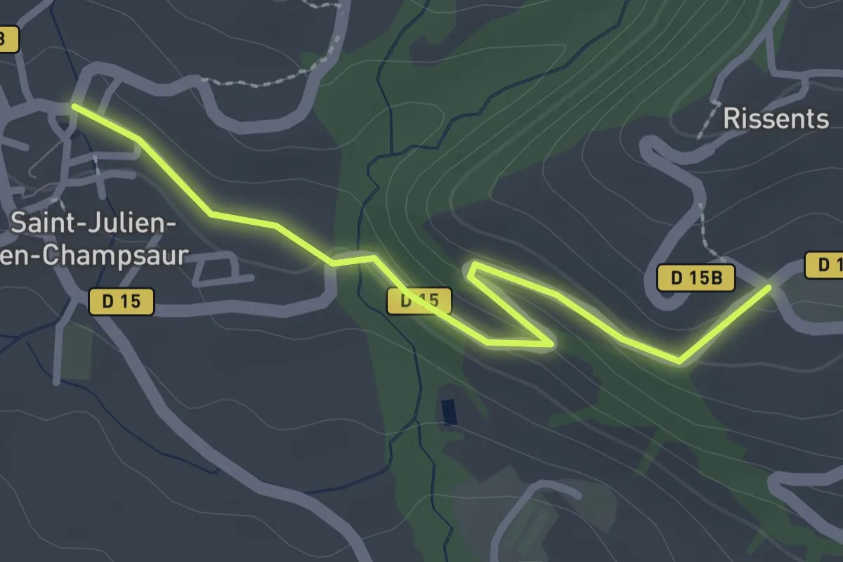
Easy · Trail
St Julien - ?
2.5 km · ↑ 63 m · 44 min · 12 km away
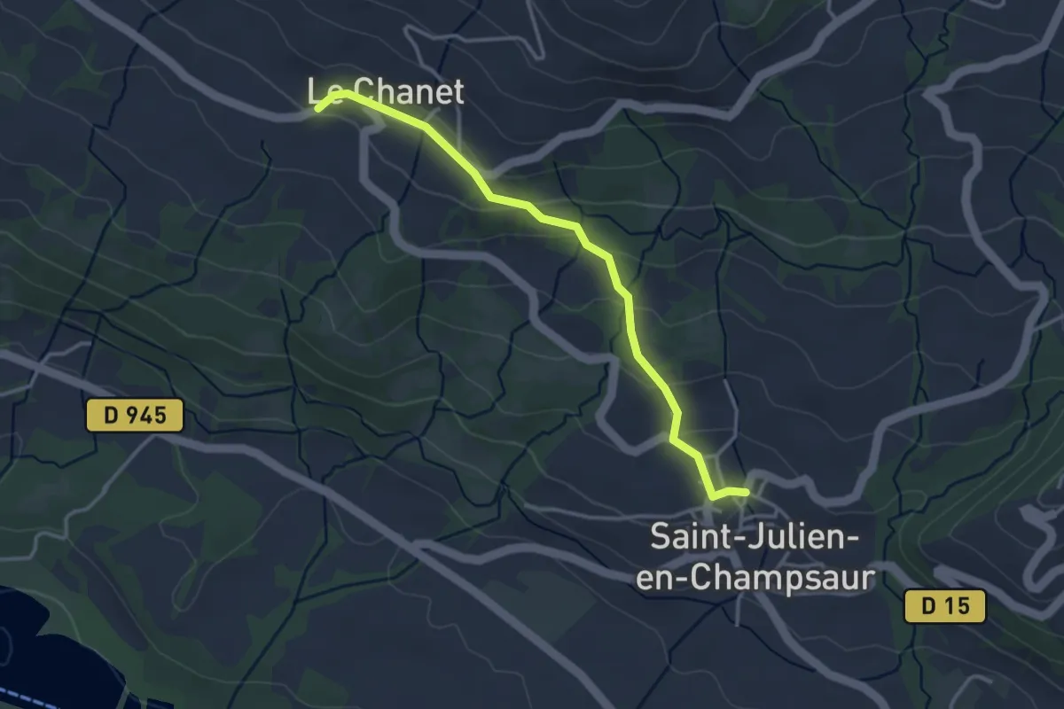
Easy · Trail
Le Chanet - St Julien
3.4 km · ↑ 115 m · 1 h 3 min · 12 km away
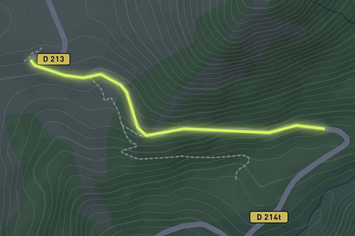
Easy · Trail
Arto - Baillenq
2.1 km · ↑ 115 m · 44 min · 12 km away
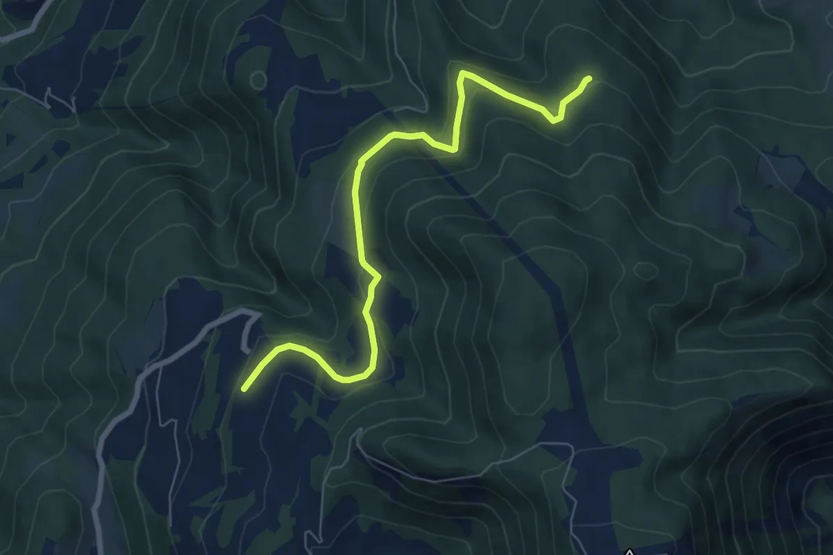
Easy · Trail
? - ?
7.2 km · ↑ 268 m · 2 h 17 min · 12 km away
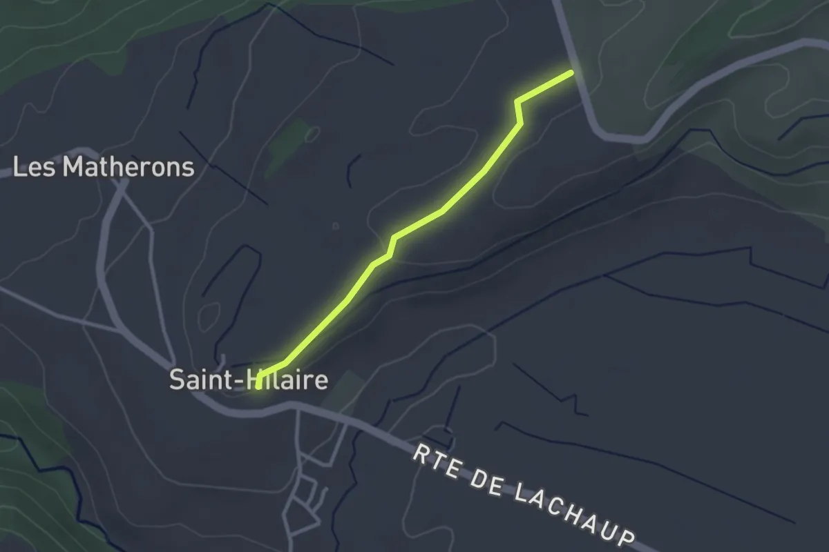
Easy · Trail
Côte Longue- Les Chaussets
2.5 km · ↑ 37 m · 41 min · 12 km away
Easy · Trail
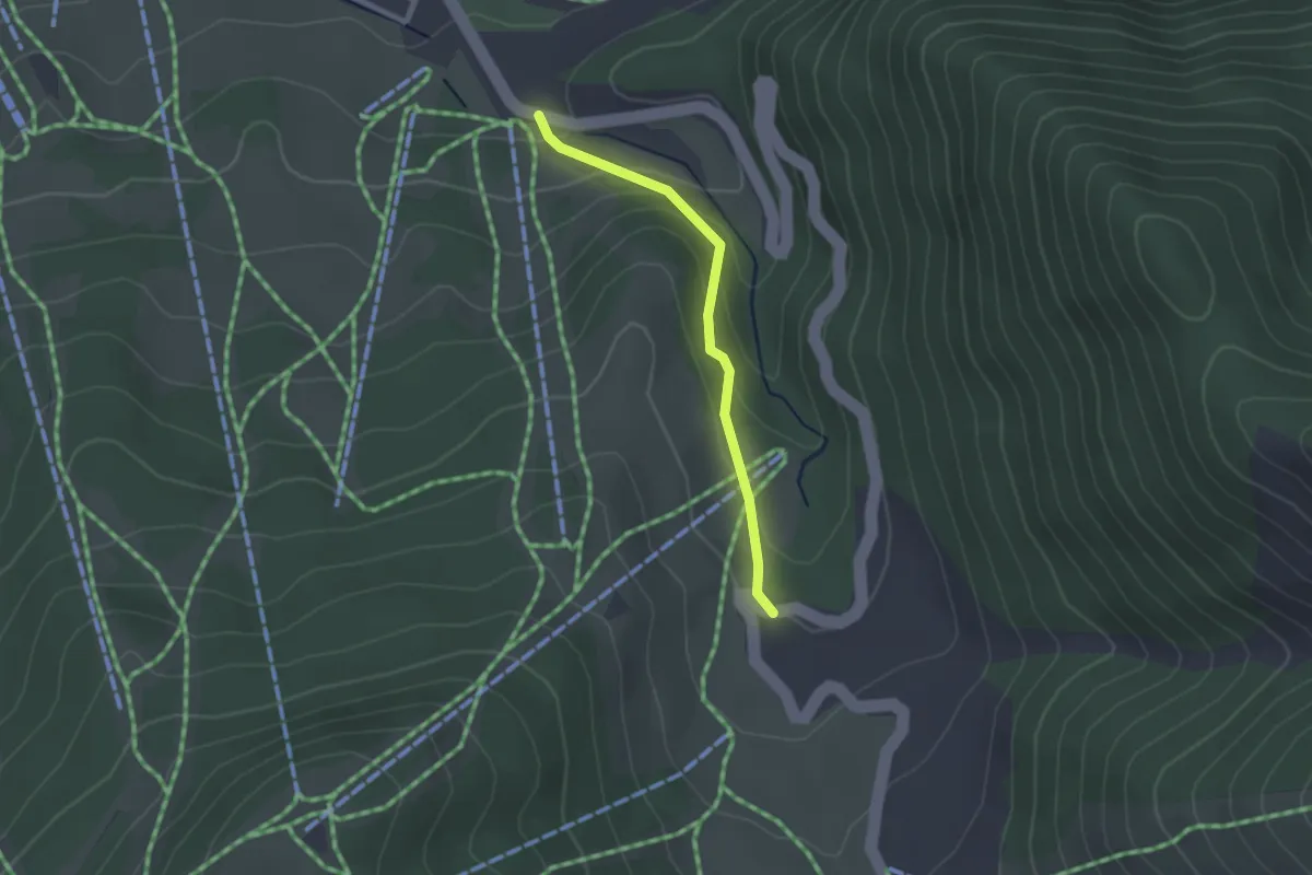
CMA - Les Taillas
2.1 km · ↑ 119 m · 46 min · 12 km away
Easy · Trail
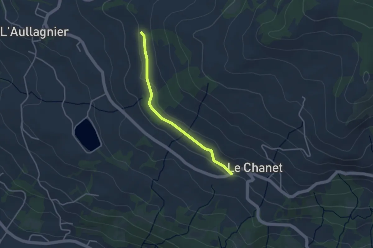
Le Chanet - ?
2.7 km · ↑ 48 m · 44 min · 12 km away
Easy · Trail
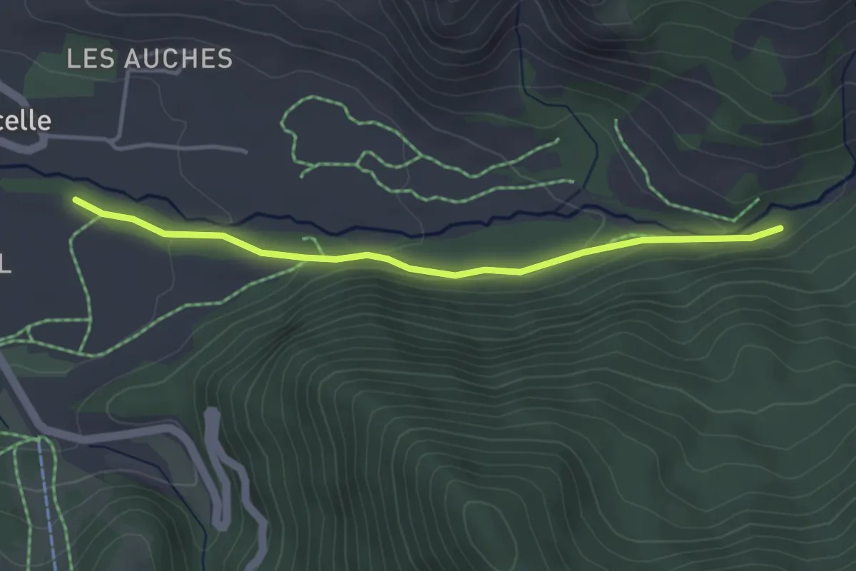
Le Gourgeon - Mestrinquier
3.7 km · ↑ 84 m · 1 h 3 min · 12 km away
Easy · Summit
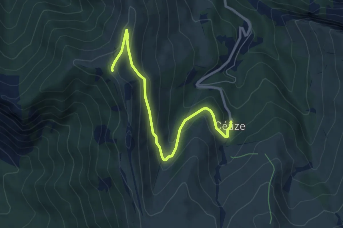
La Manche
6.5 km · ↑ 289 m · 2 h 10 min · 12 km away
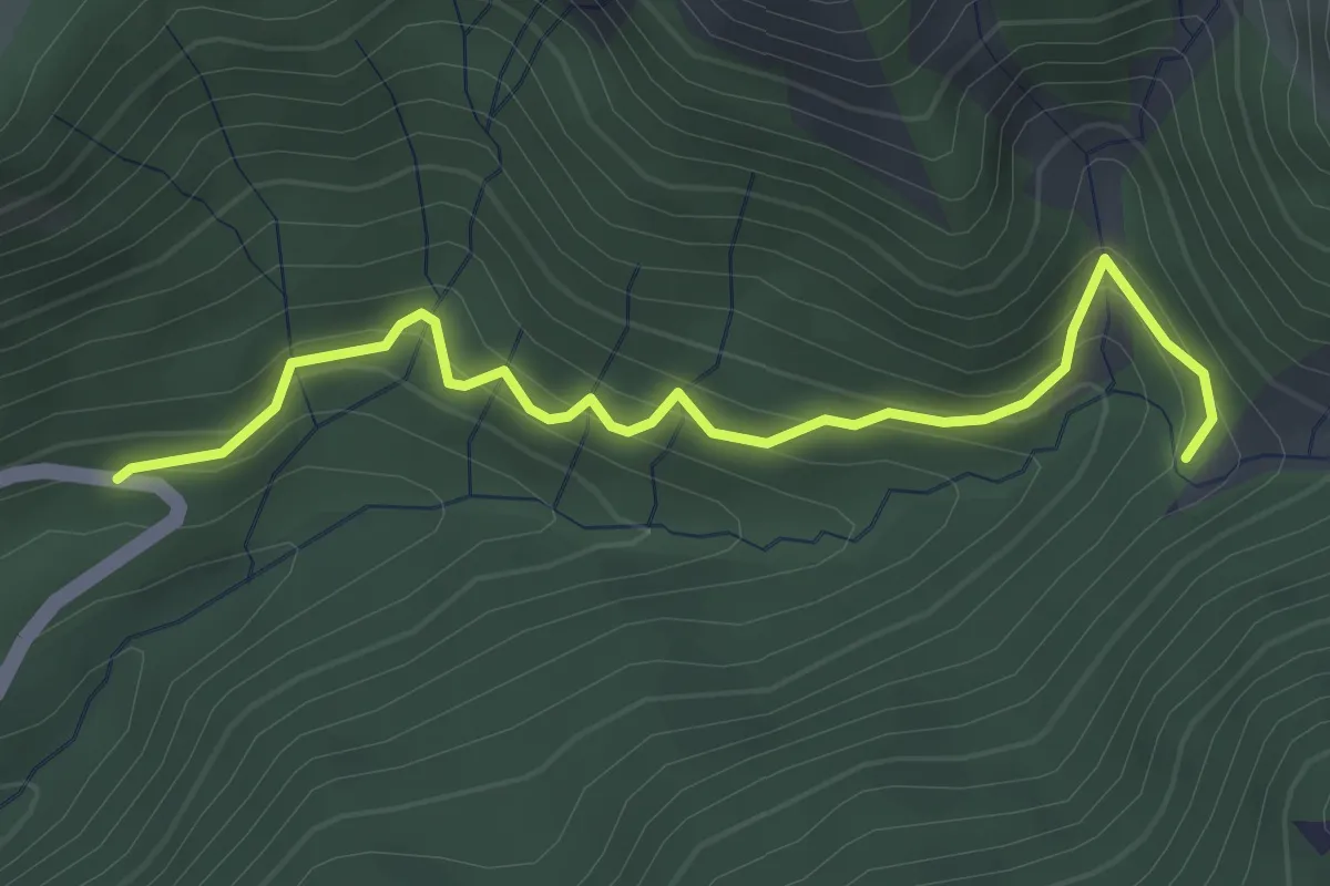
Easy · Trail
Baillenq - Torrent du Sapet
3.6 km · ↑ 290 m · 1 h 28 min · 12 km away
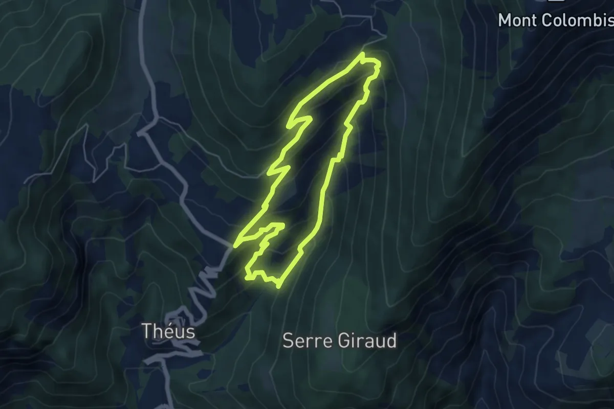
Medium · Trail
Demoiselles coiffées de Vallauria
5.1 km · ↑ 376 m · 2 h 5 min · 12 km away
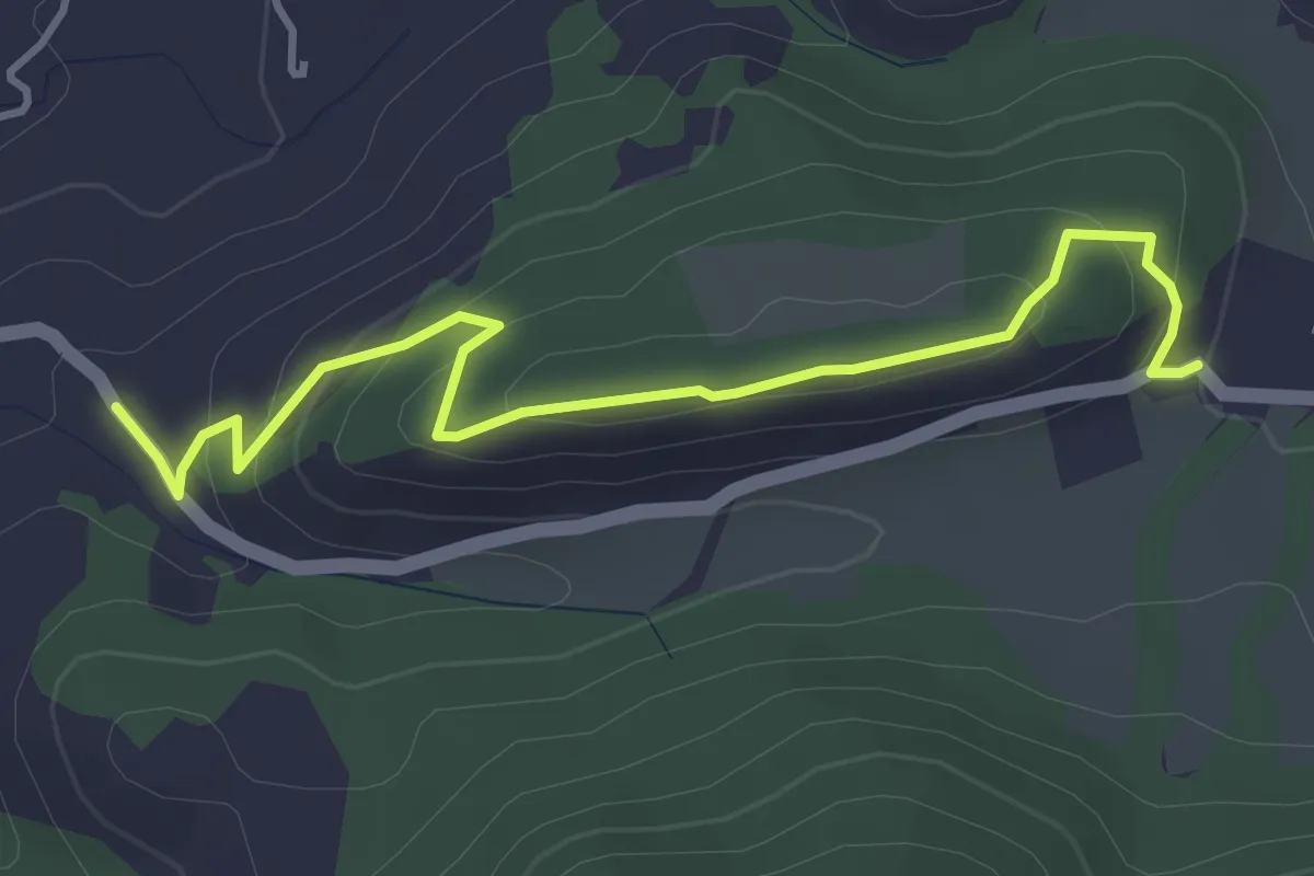
Easy · Trail
Hameau de Fontclaire - Les Massots
4.3 km · ↑ 183 m · 1 h 25 min · 13 km away
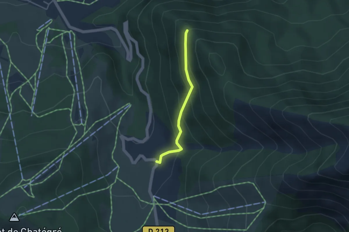
Easy · Trail
La Pinouse - Moissière Village
2.5 km · ↑ 201 m · 1 h 1 min · 13 km away
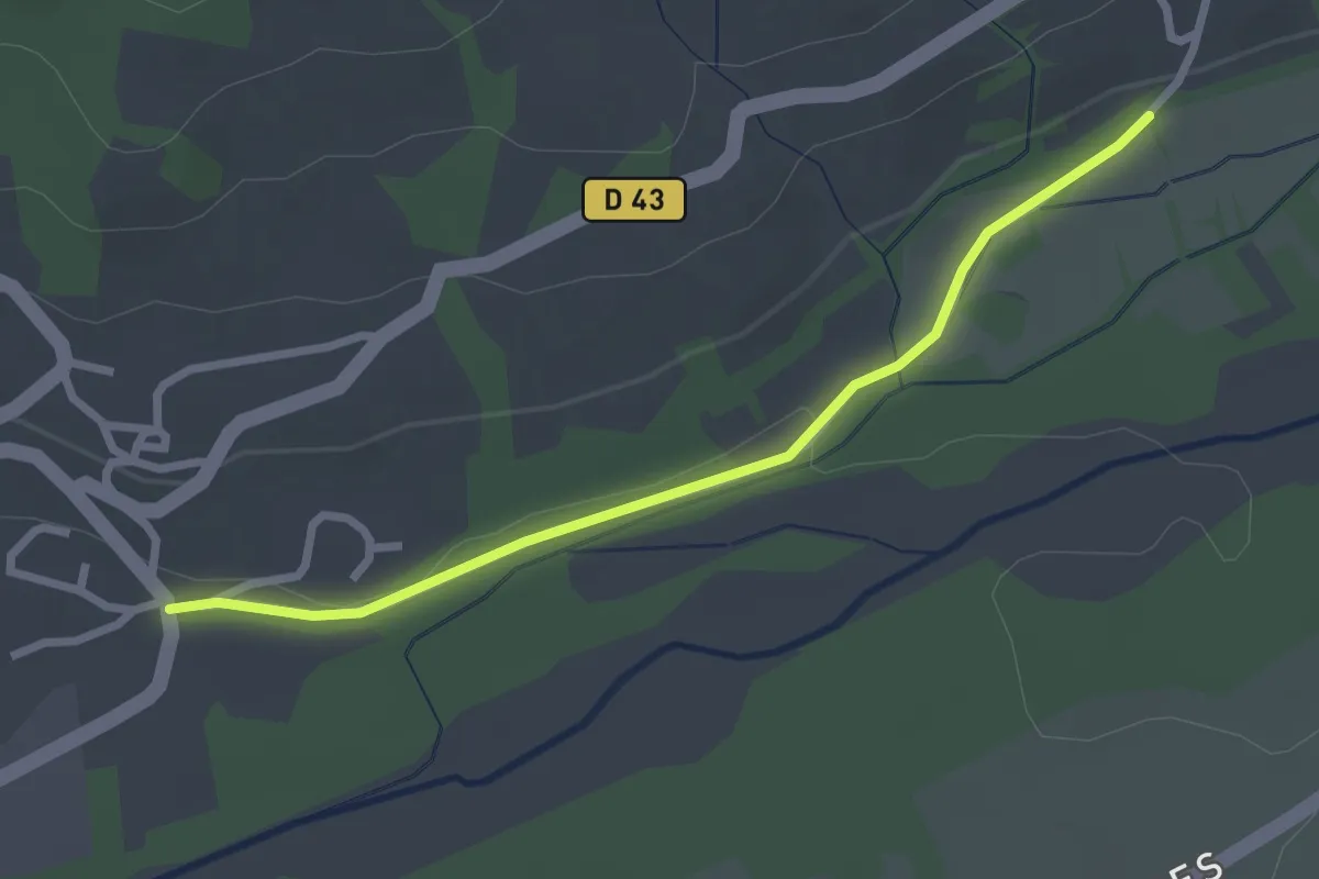
Easy · Trail
Le Moulin - ?
2.7 km · ↑ 22 m · 41 min · 13 km away
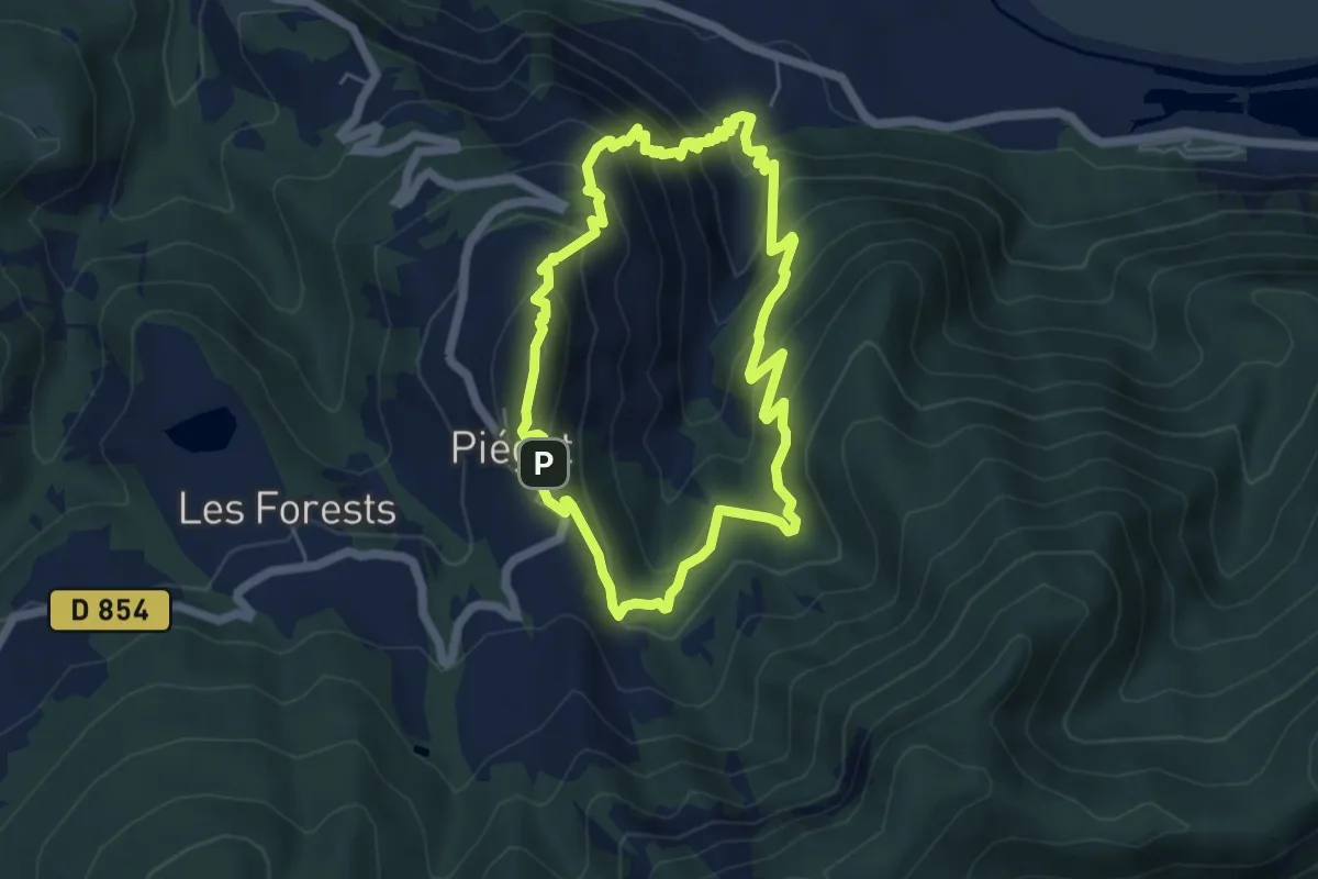
Medium · Summit
Saint Collomban
5.4 km · ↑ 453 m · 2 h 21 min · 13 km away
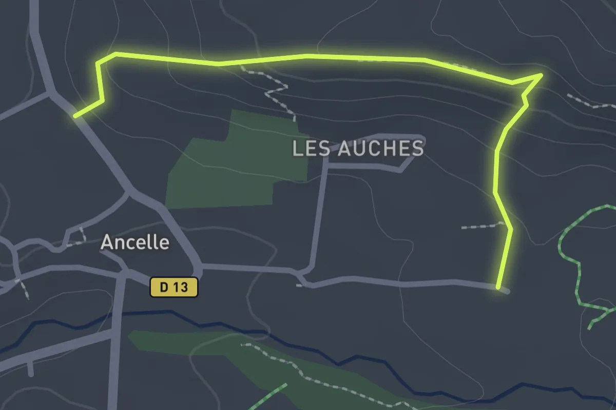
Easy · Trail
Chabottes - La Rase
2.5 km · ↑ 113 m · 50 min · 13 km away
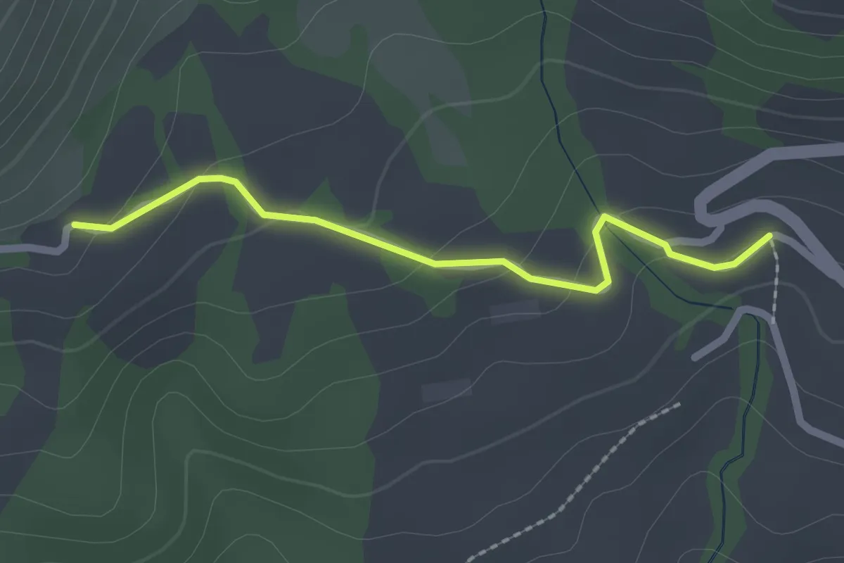
Easy · Trail
Les Michauds - ?
2.0 km · ↑ 69 m · 38 min · 13 km away
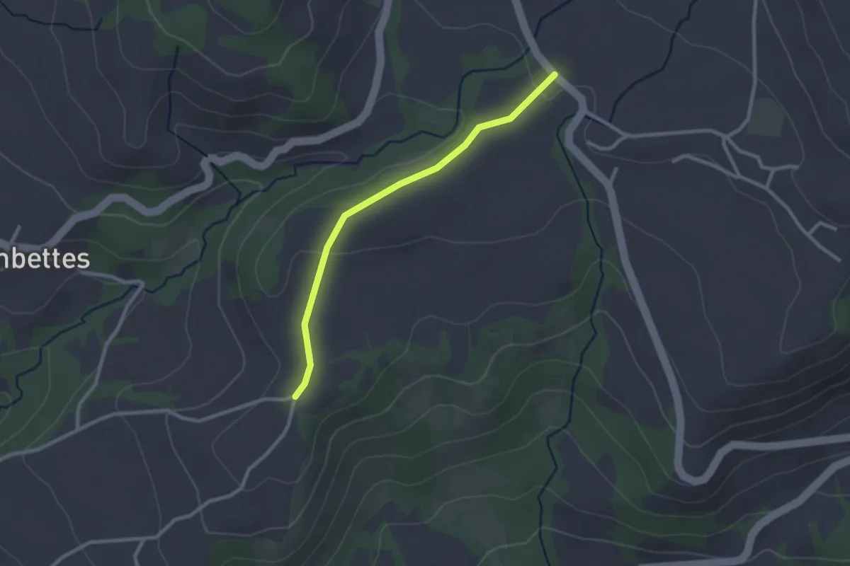
Easy · Trail
Les Champets - Le Mourard
2.5 km · ↑ 35 m · 40 min · 13 km away
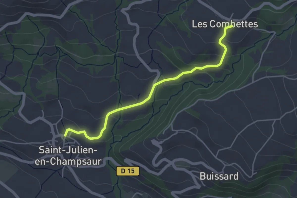
Easy · Trail
St Julien - ?
4.0 km · ↑ 164 m · 1 h 18 min · 13 km away
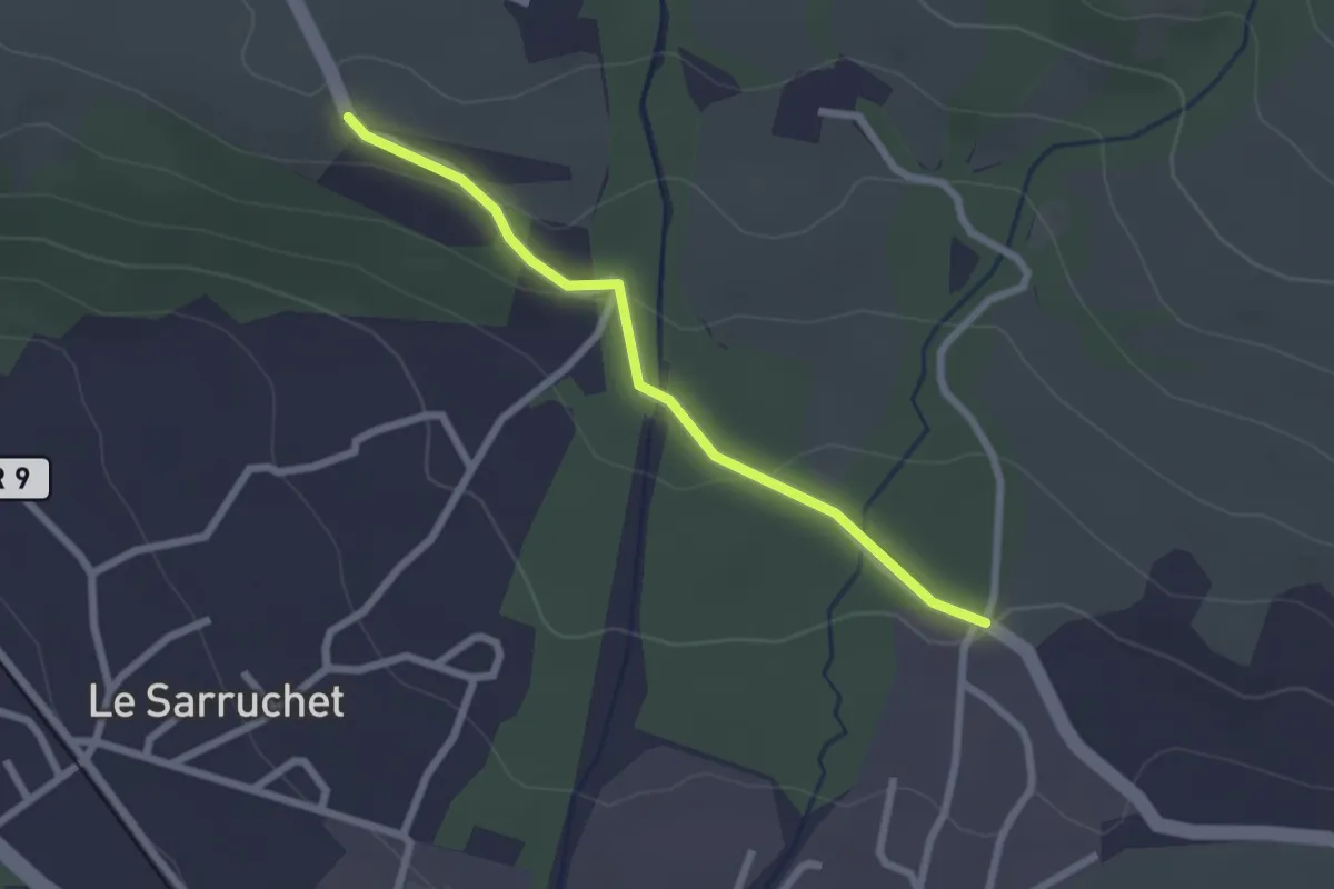
Easy · Trail
Les Blaches - Serre Vial
2.3 km · ↑ 66 m · 41 min · 13 km away
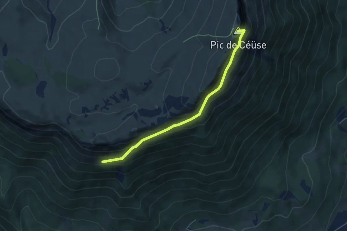
Expert · Summit
Pas du Loup - ?
4.8 km · ↑ 521 m · 2 h 15 min · 13 km away
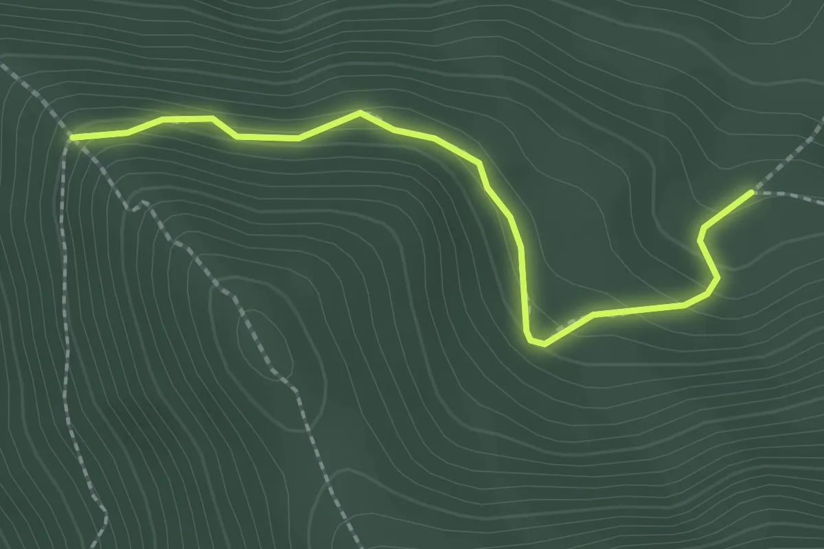
Easy · Trail
La Pinouse - Pra Mia
2.2 km · ↑ 145 m · 50 min · 13 km away
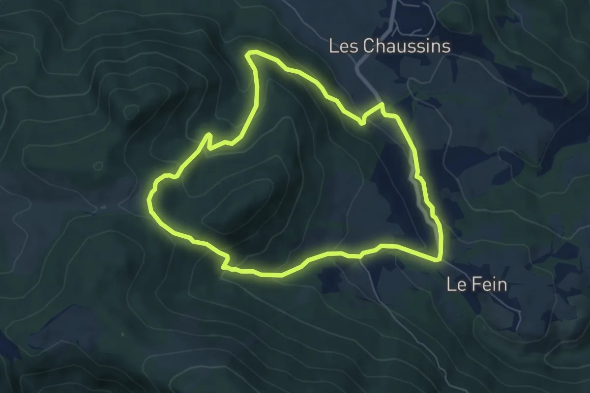
Medium · Trail
Bois Seignières
6.3 km · ↑ 331 m · 2 h 17 min · 14 km away
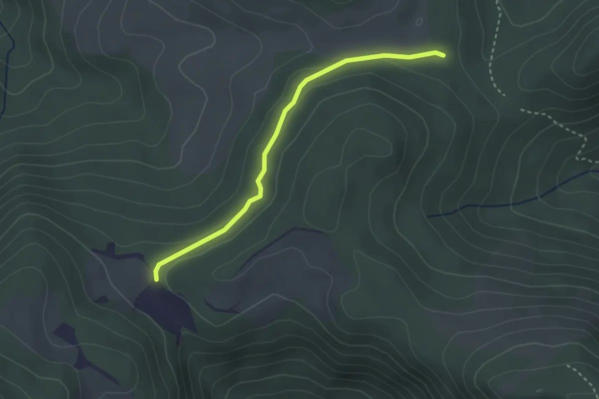
Easy · Trail
La Croix des Prés - Le Sarrouet
3.0 km · ↑ 59 m · 50 min · 14 km away
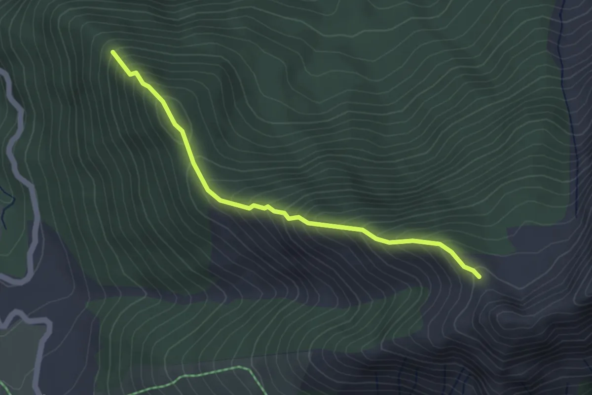
Medium · Trail
Clos Tourci - La Pinouse
3.6 km · ↑ 403 m · 1 h 43 min · 14 km away
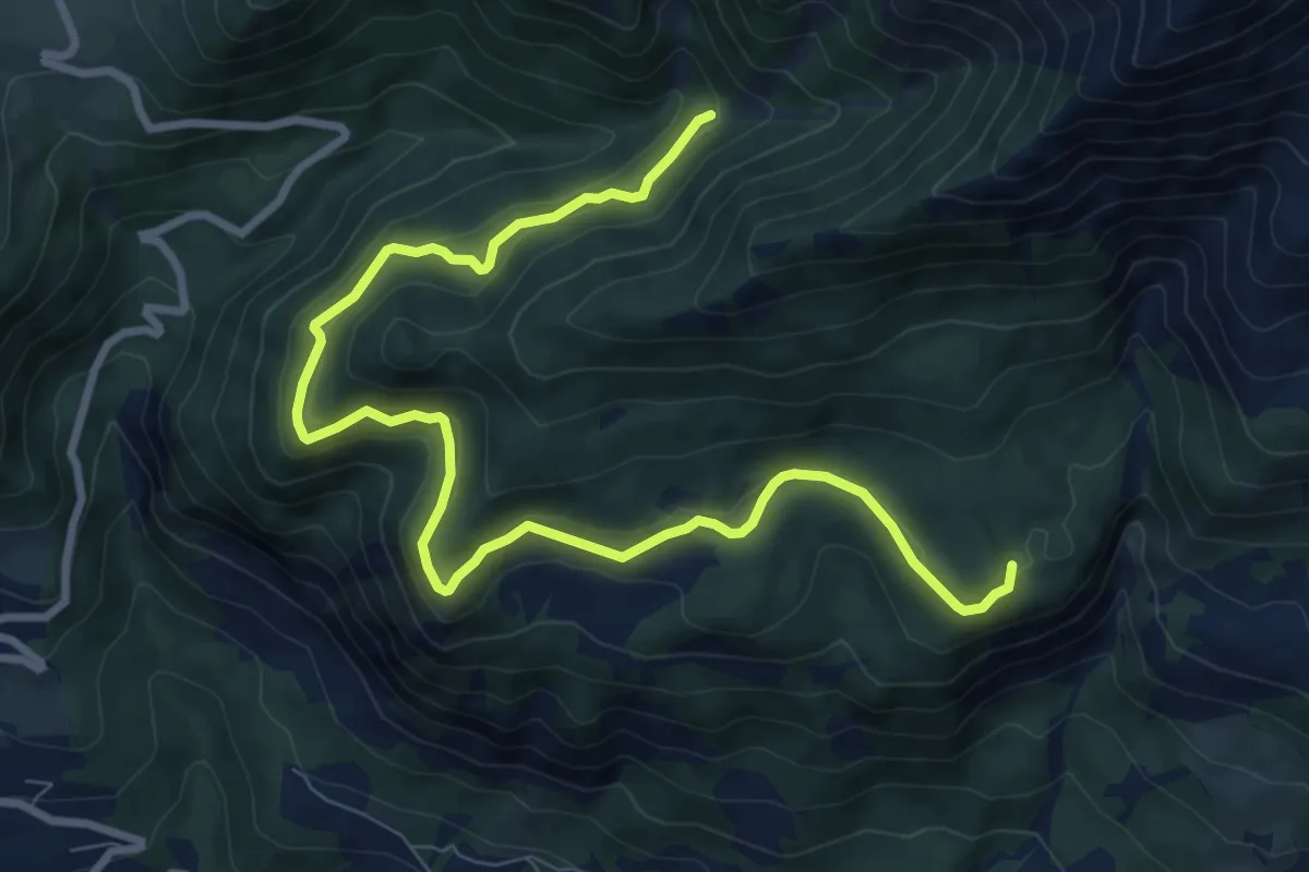
Medium · Trail
Torrent du Sapet - Forest du Suret
10.9 km · ↑ 386 m · 3 h 24 min · 14 km away
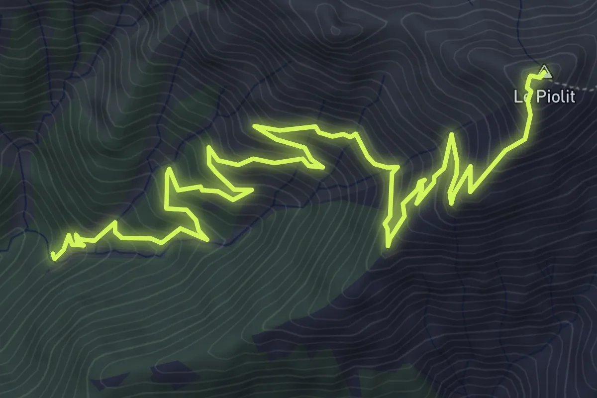
Demanding · Summit
Torrent du Sapet - Le Piolit
9.7 km · ↑ 901 m · 4 h 15 min · 14 km away
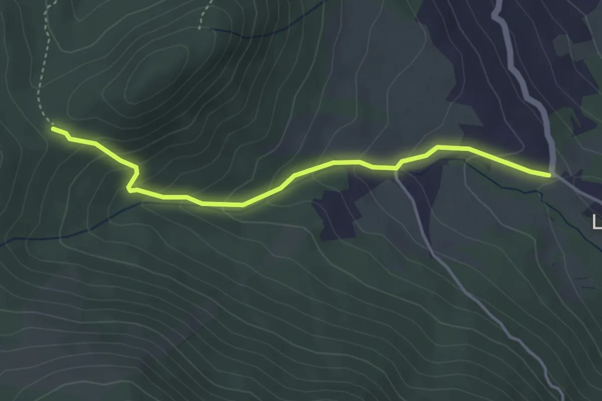
Medium · Trail
Le Fein - Le Champ du Comte
3.9 km · ↑ 246 m · 1 h 27 min · 14 km away
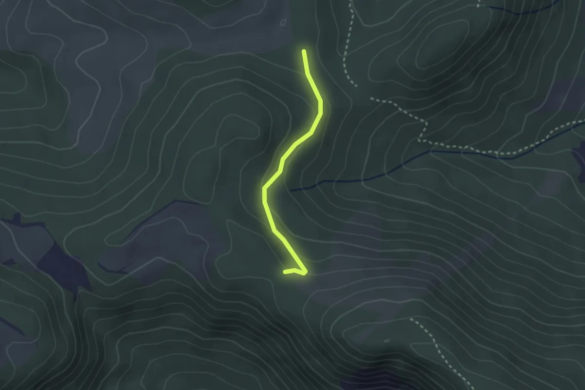
Easy · Trail
Clot Clavary - Le Sarrouet
2.3 km · ↑ 88 m · 44 min · 14 km away
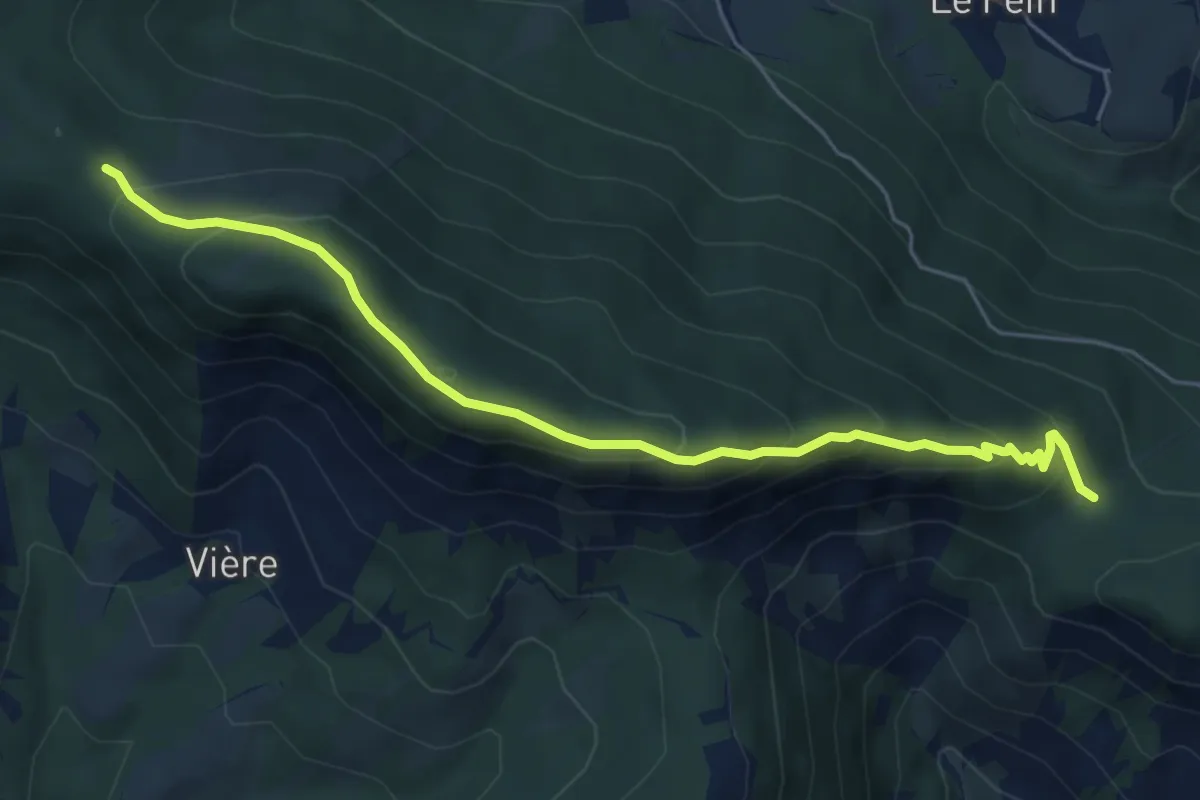
Medium · Trail
Clot Charmentier - Clot Clavary
6.2 km · ↑ 375 m · 2 h 16 min · 14 km away
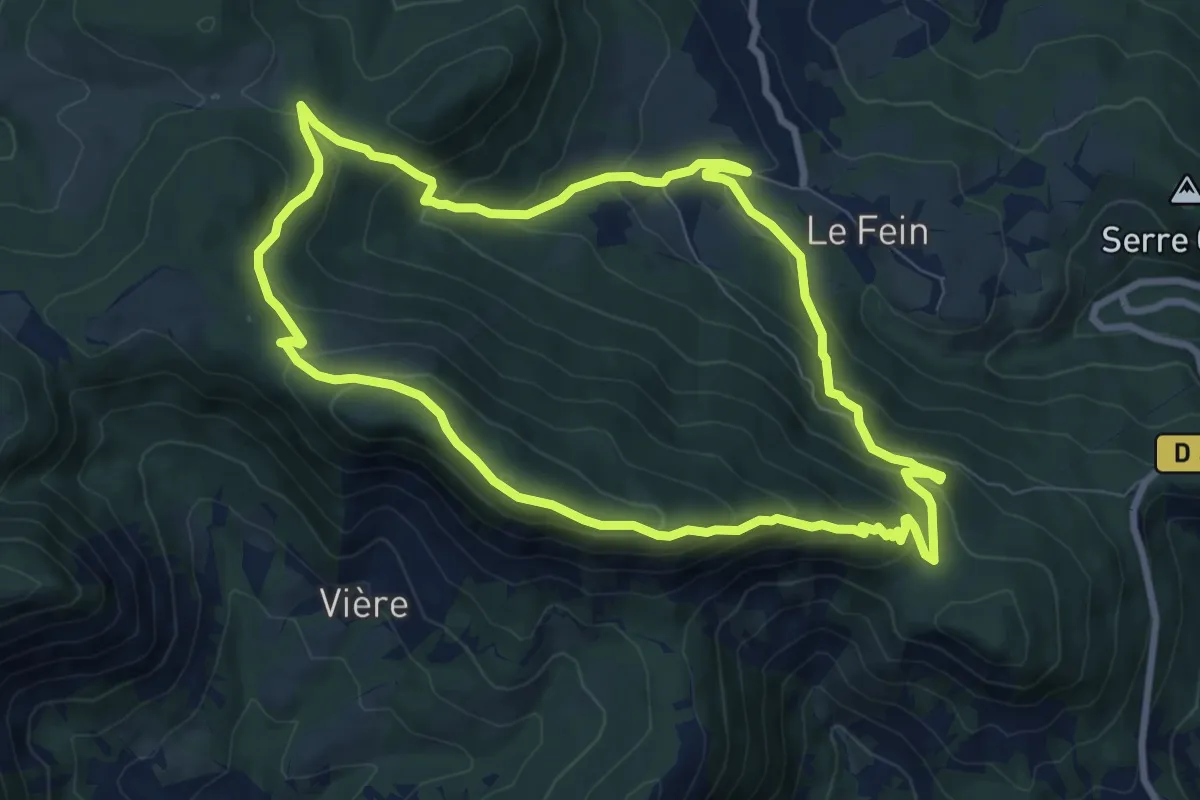
Medium · Trail
Clot-Clavary
8.6 km · ↑ 460 m · 3 h 9 min · 14 km away
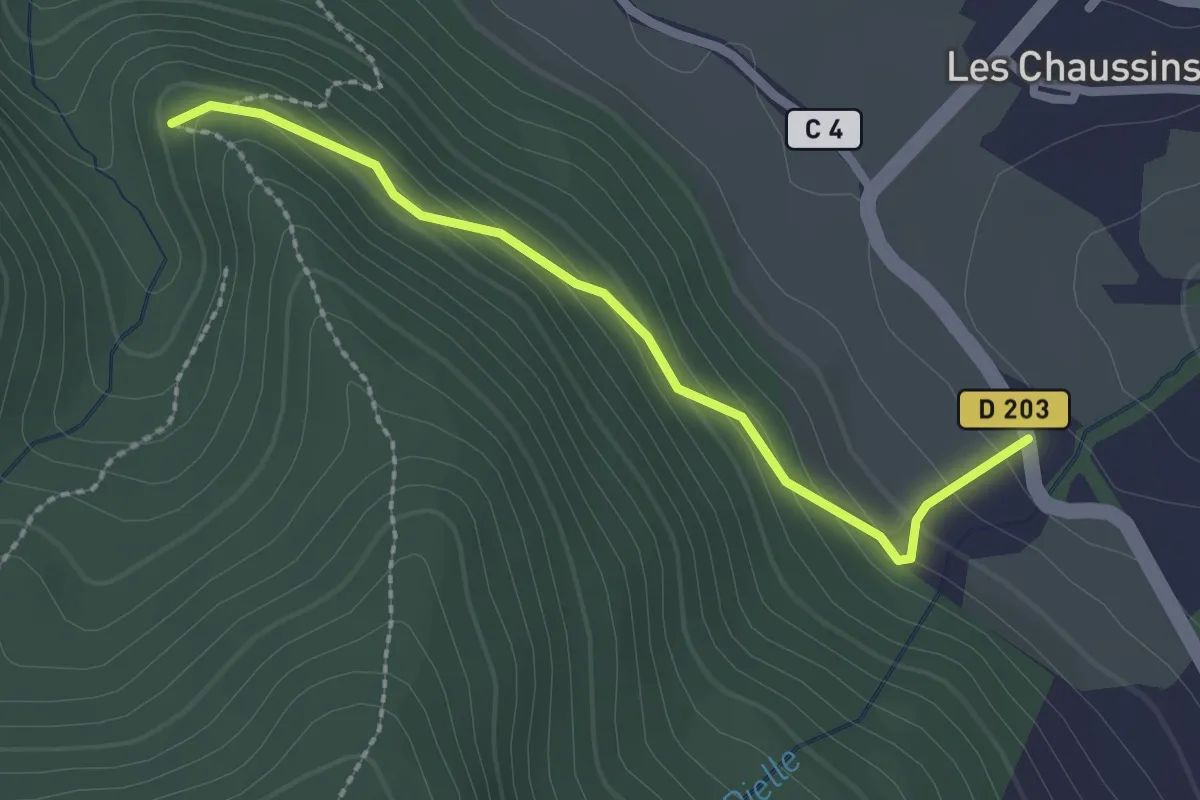
Easy · Trail
La Sarragou - ?
2.3 km · ↑ 136 m · 51 min · 14 km away
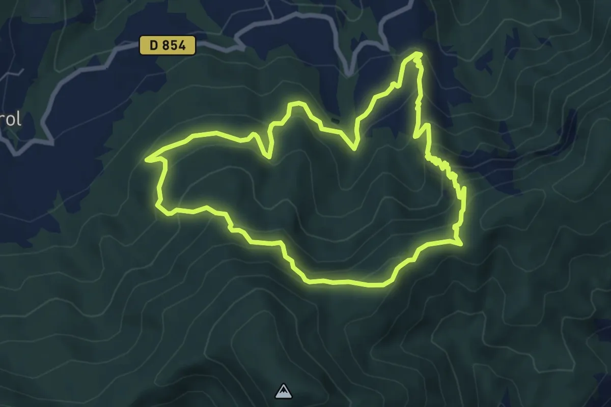
Medium · Trail
Crête de la Colle
6.6 km · ↑ 444 m · 2 h 37 min · 14 km away
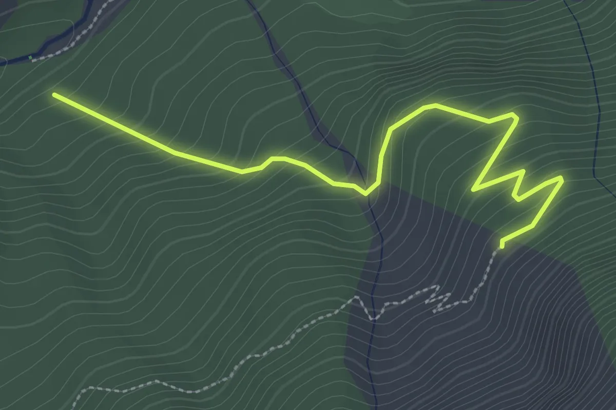
Easy · Trail
Bois des Meyers - Le Jas du Vial
3.2 km · ↑ 281 m · 1 h 22 min · 14 km away
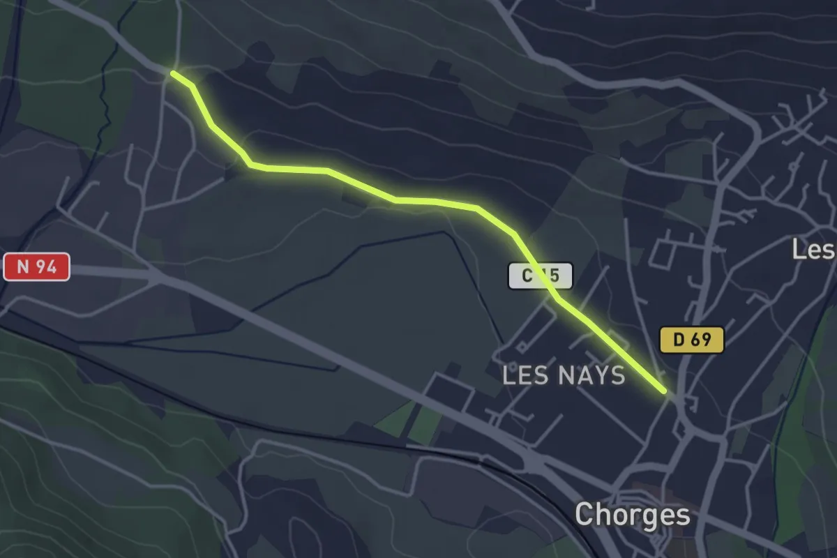
Easy · Trail
Pré du Château - Serre Vial
3.6 km · ↑ 50 m · 58 min · 14 km away
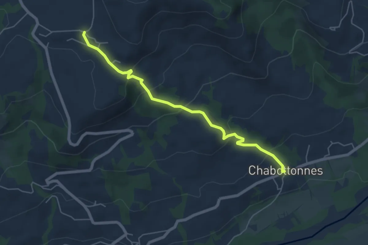
Easy · Trail
Chabottonnes - St Michel
5.0 km · ↑ 252 m · 1 h 43 min · 14 km away
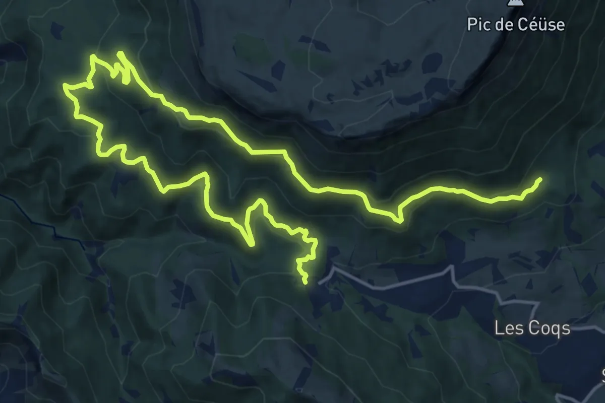
Demanding · Trail
Ceüse Circuit 3
22.7 km · ↑ 850 m · 7 h 13 min · 14 km away
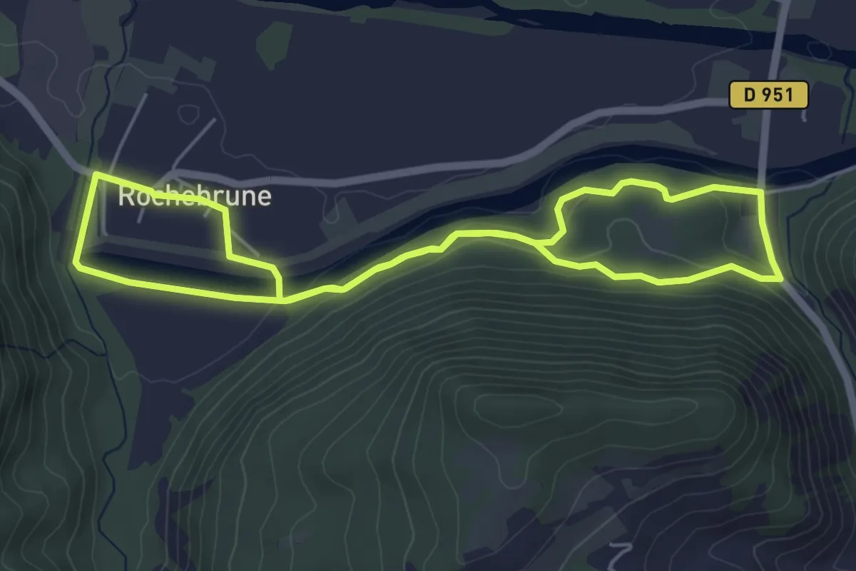
Easy · Trail
Bois du Plan
5.0 km · ↑ 112 m · 1 h 30 min · 14 km away
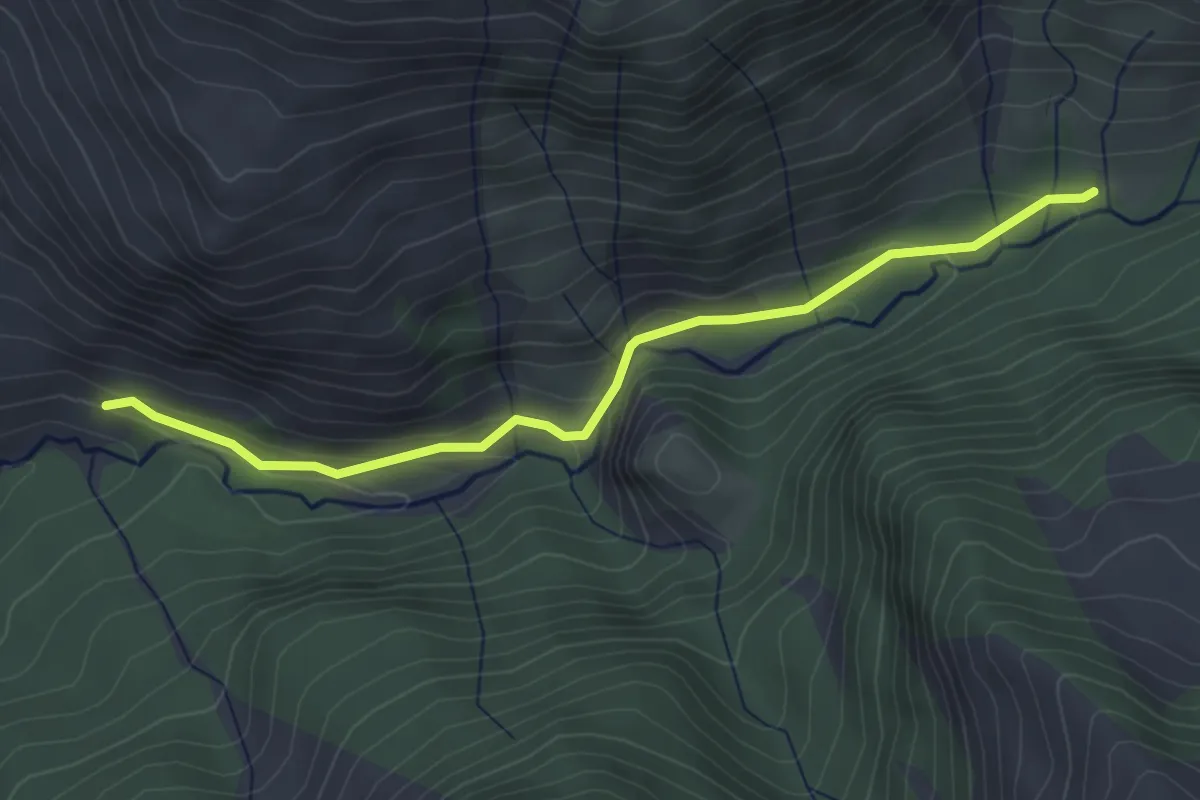
Easy · Trail
Parking Rouanne Haute - Simonde
3.9 km · ↑ 131 m · 1 h 13 min · 14 km away
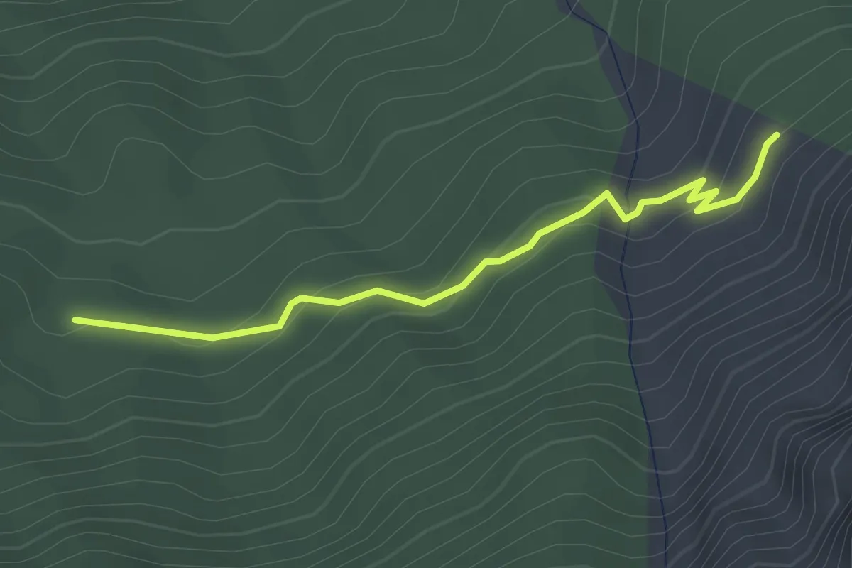
Easy · Trail
Le Jas du Vial - Pra Mia
3.0 km · ↑ 149 m · 1 h 1 min · 15 km away
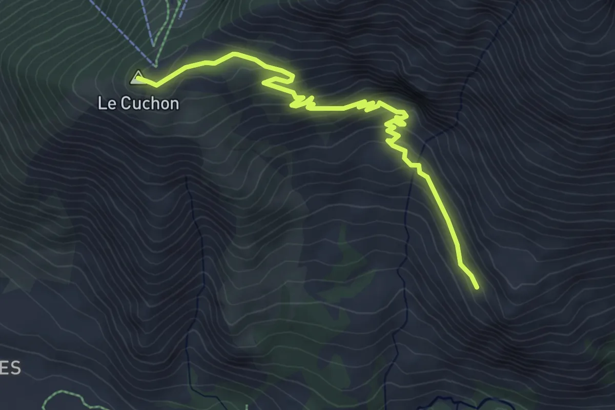
Medium · Summit
Le Ranc - Le Cuchon
5.9 km · ↑ 366 m · 2 h 11 min · 15 km away
Easy · Trail
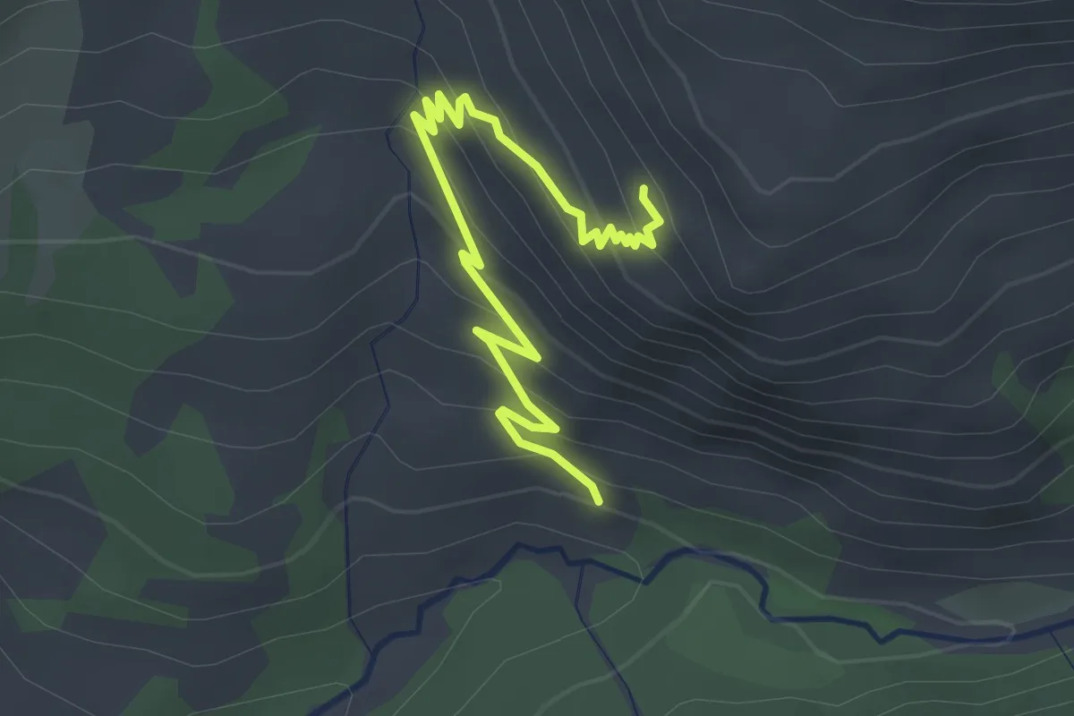
Le Ranc - Simonde
3.3 km · ↑ 225 m · 1 h 16 min · 15 km away
Medium · Trail
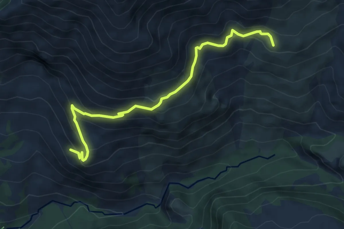
Le Ranc - Le Serre du Milieu
6.6 km · ↑ 484 m · 2 h 36 min · 15 km away
Demanding · Summit
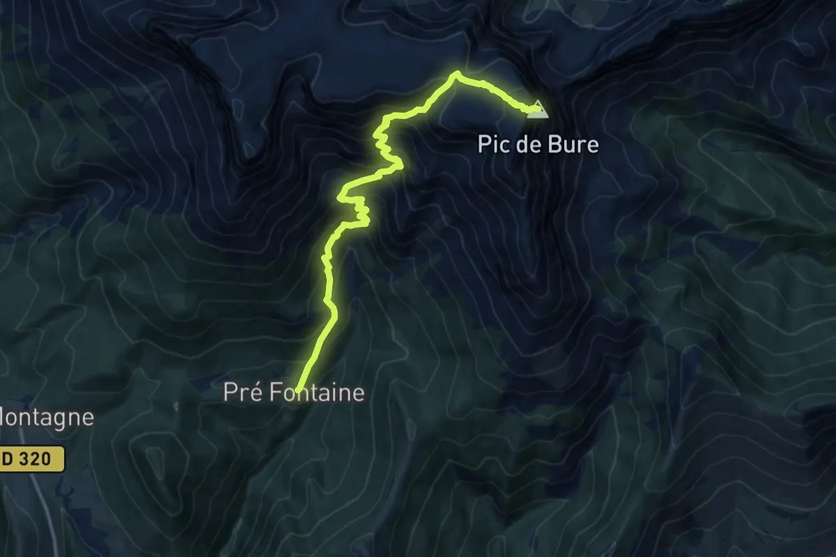
Pic de Bure
13.1 km · ↑ 1543 m · 6 h 27 min · 15 km away
Easy · Trail
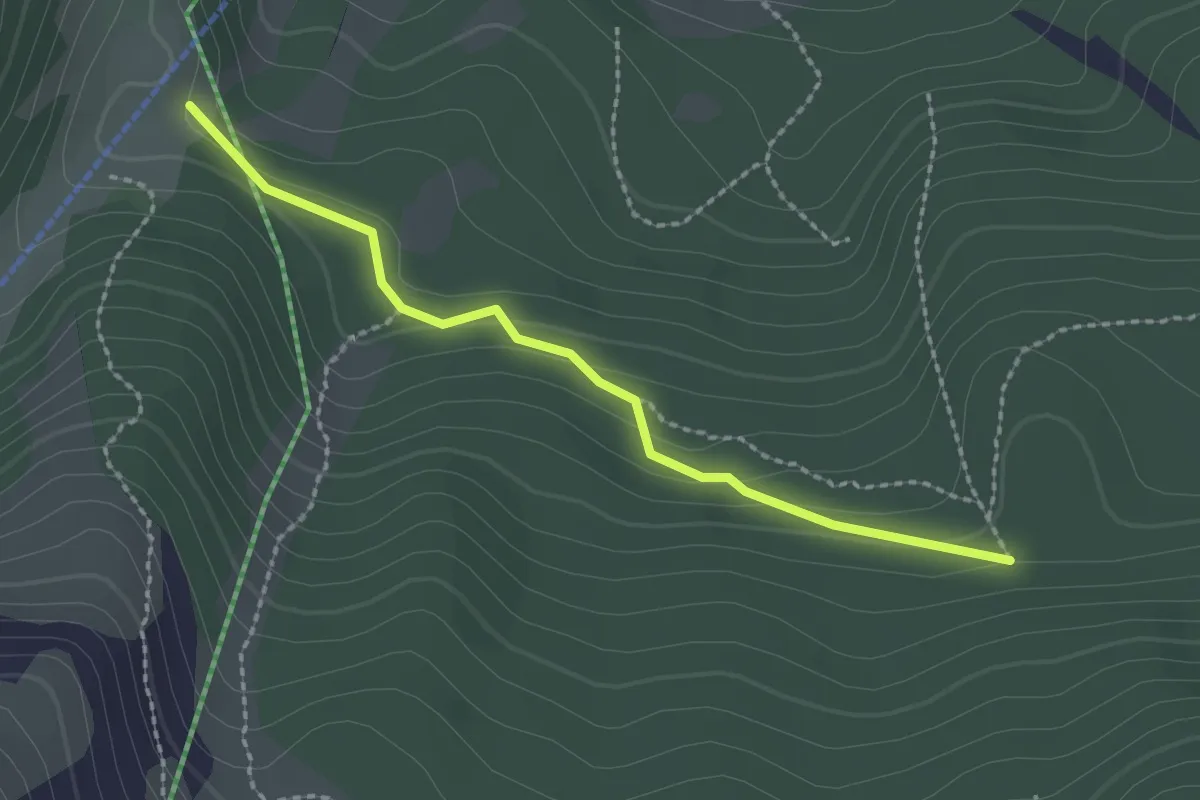
GP Combe de Corne <> GP Haut du Bois Rond
2.2 km · ↑ 77 m · 42 min · 15 km away