Trails near Gourdon
35 hikes starting within 15 km, nearest first.
Nearest first
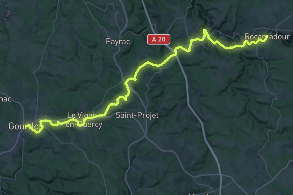
Demanding · Trail
De Rocamadour à Gourdon
29.5 km · ↑ 567 m · 8 h 38 min · under 1 km away
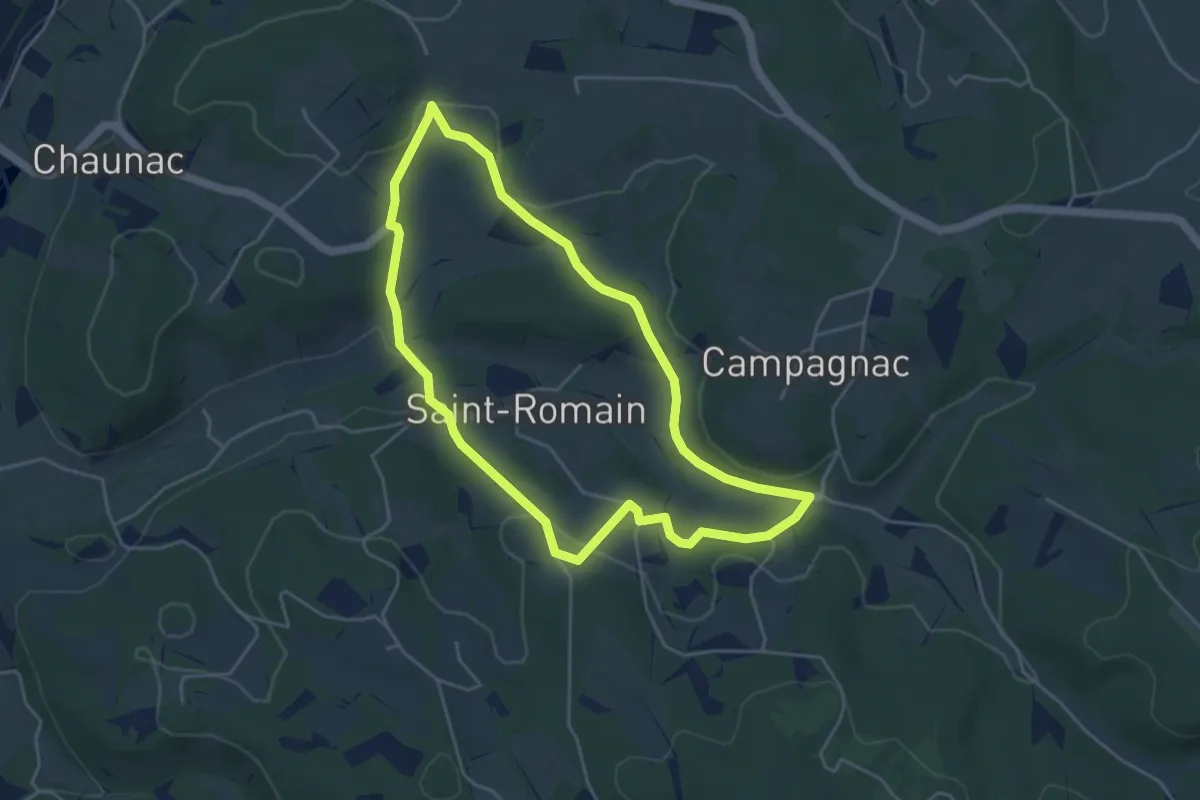
Easy · Trail
Le chemin de Notre-Dame des Neiges
4.5 km · ↑ 116 m · 1 h 23 min · 2 km away
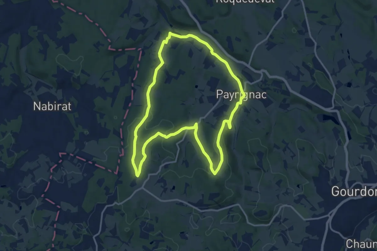
Medium · Trail
Le sentier du bois Daurus
11.4 km · ↑ 206 m · 3 h 18 min · 3 km away
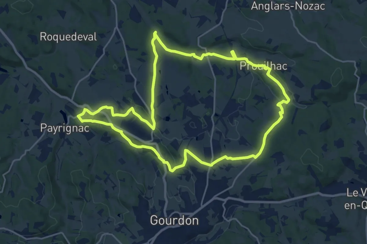
Medium · Trail
Le sentier d’Écoute s’il Pleut
16.0 km · ↑ 278 m · 4 h 37 min · 4 km away
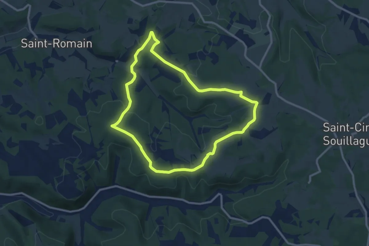
Easy · Trail
Circuit des hameaux du Souillaguet
7.1 km · ↑ 175 m · 2 h 10 min · 5 km away
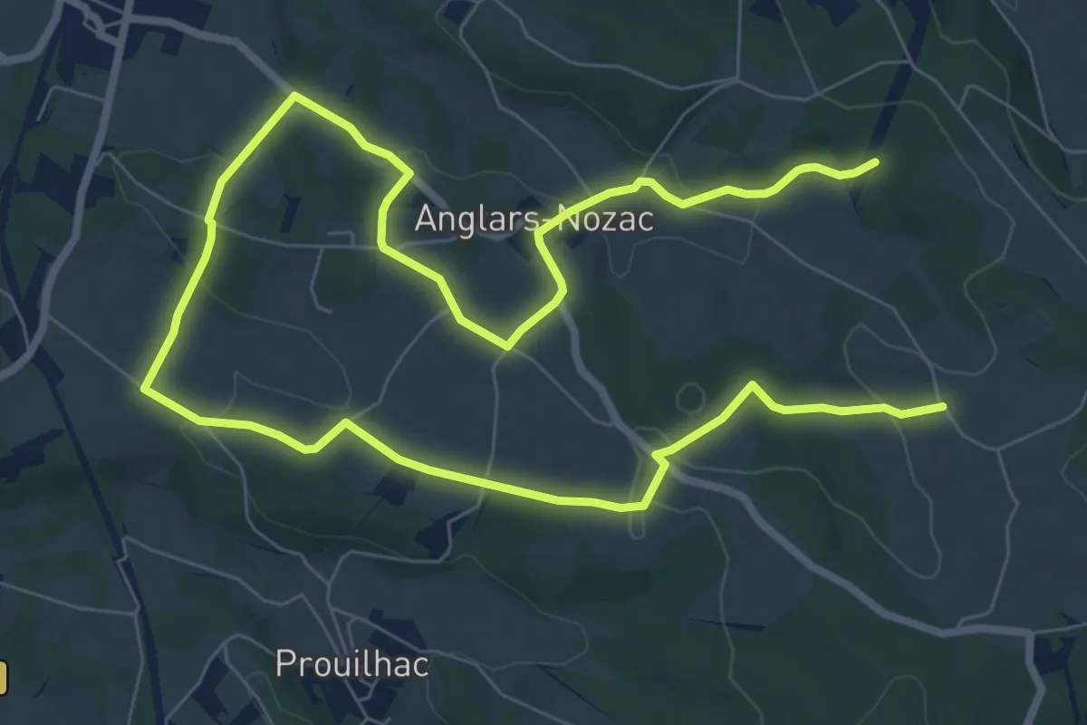
Easy · Trail
Le Chemin des Hameaux
6.7 km · ↑ 137 m · 2 h · 6 km away
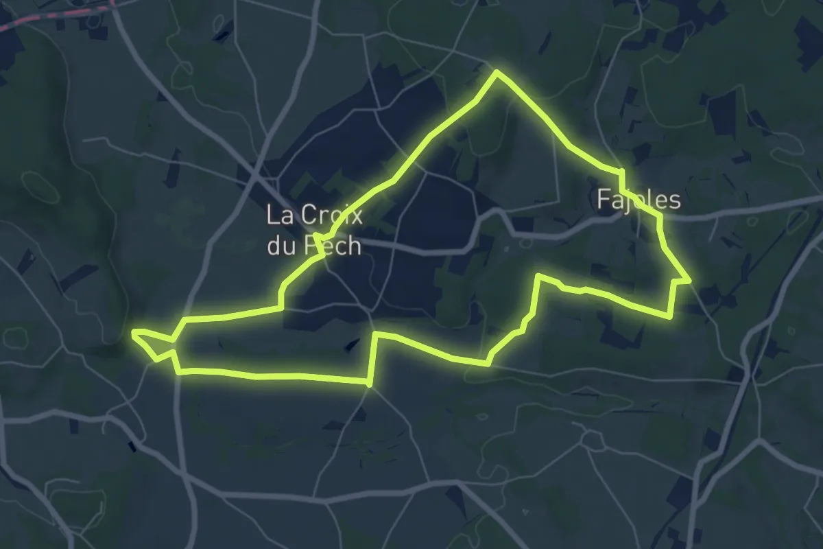
Easy · Trail
Le chemin de la source du Piage
7.5 km · ↑ 116 m · 2 h 7 min · 7 km away
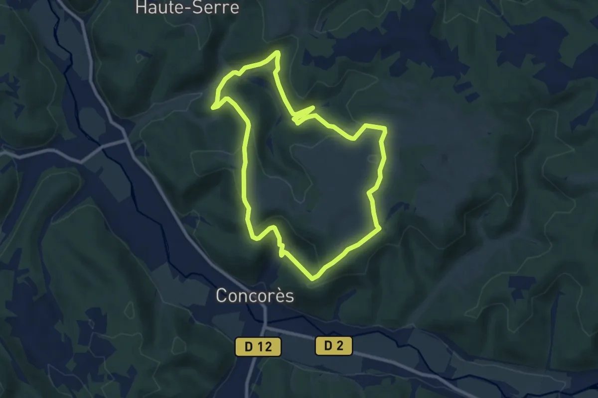
Easy · Trail
Sentier de Linars
7.5 km · ↑ 269 m · 2 h 27 min · 7 km away
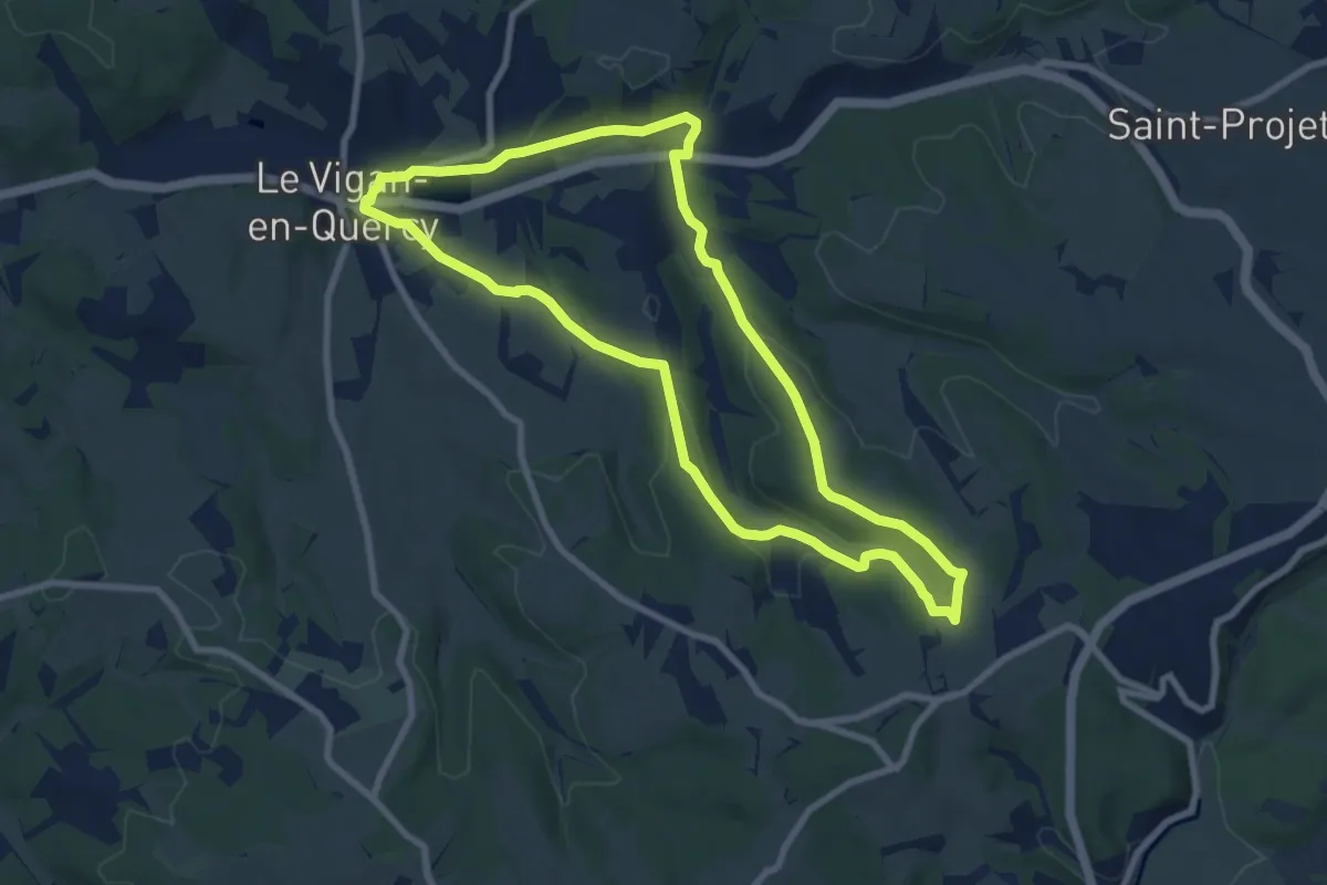
Medium · Trail
Le circuit de Pochy
8.6 km · ↑ 149 m · 2 h 28 min · 7 km away
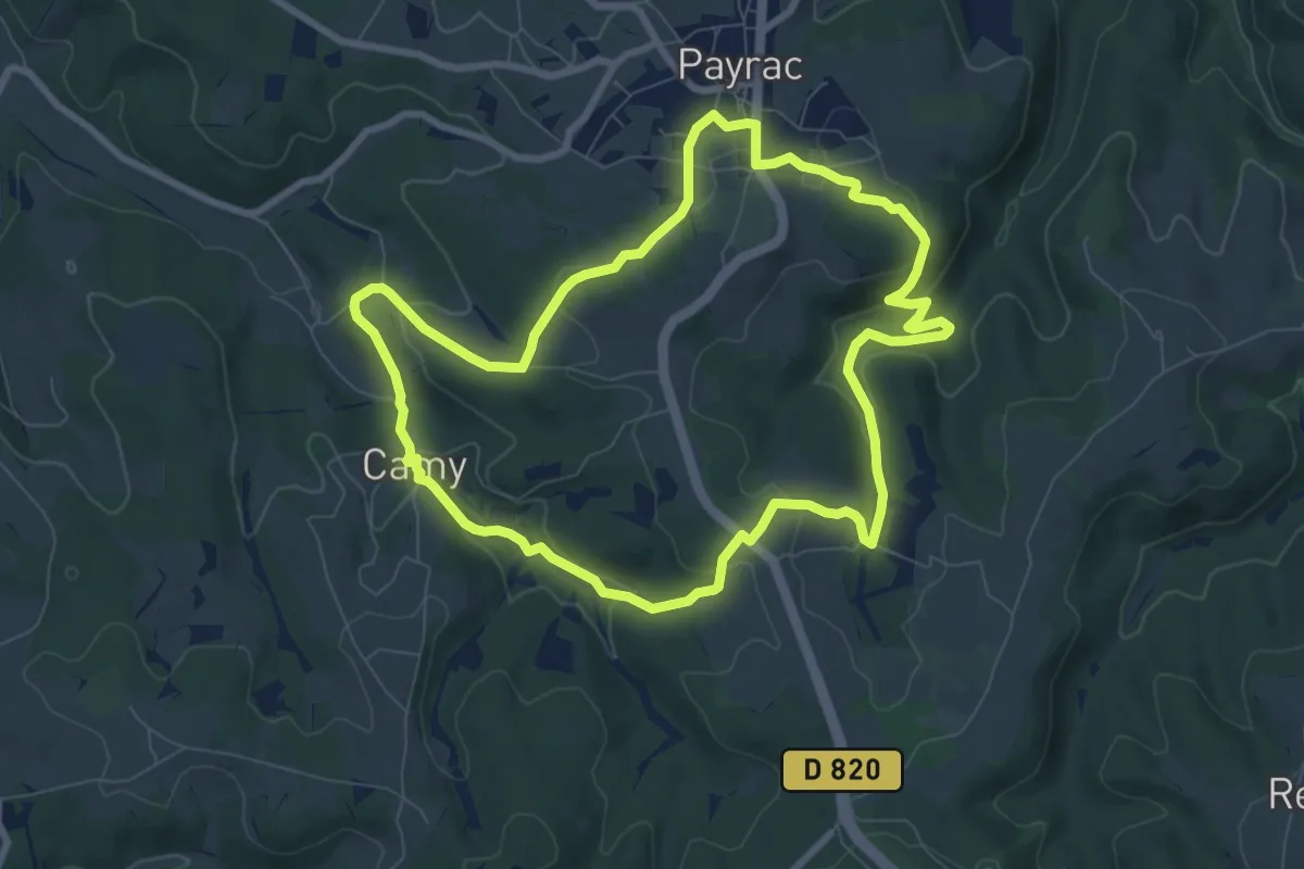
Medium · Trail
Chemin du fond du Bois
8.5 km · ↑ 216 m · 2 h 36 min · 8 km away
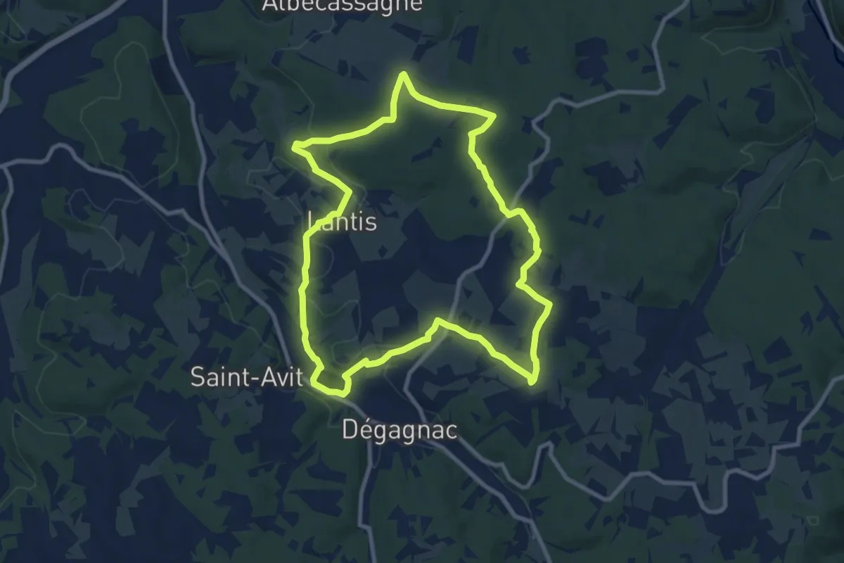
Medium · Trail
Circuit des hauts de Lantis
9.1 km · ↑ 197 m · 2 h 42 min · 8 km away
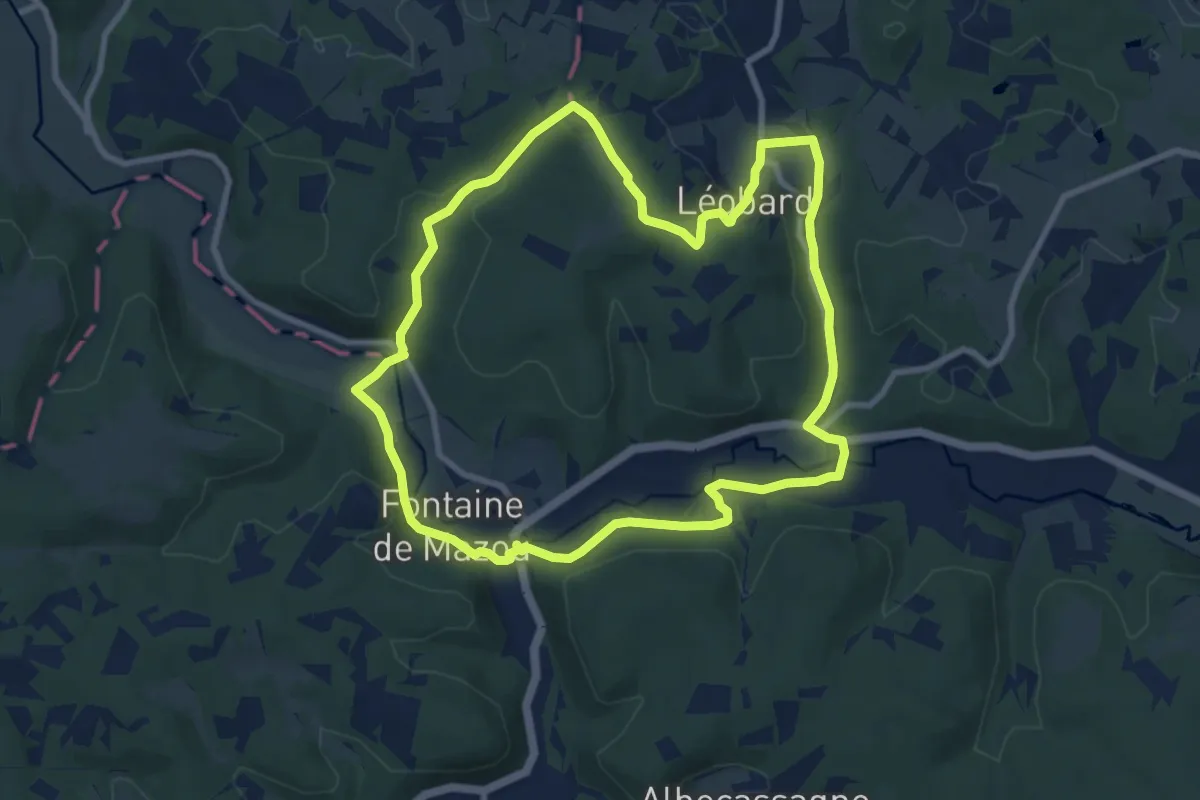
Medium · Trail
Circuit de l' Abbaye
9.3 km · ↑ 198 m · 2 h 45 min · 8 km away
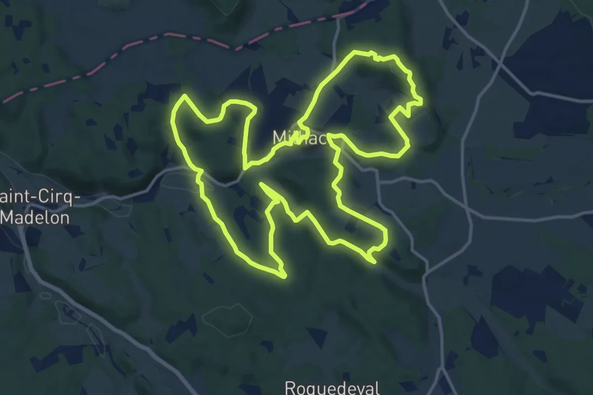
Medium · Trail
Le Chemin du Pech des Ausiers
13.3 km · ↑ 311 m · 4 h · 8 km away
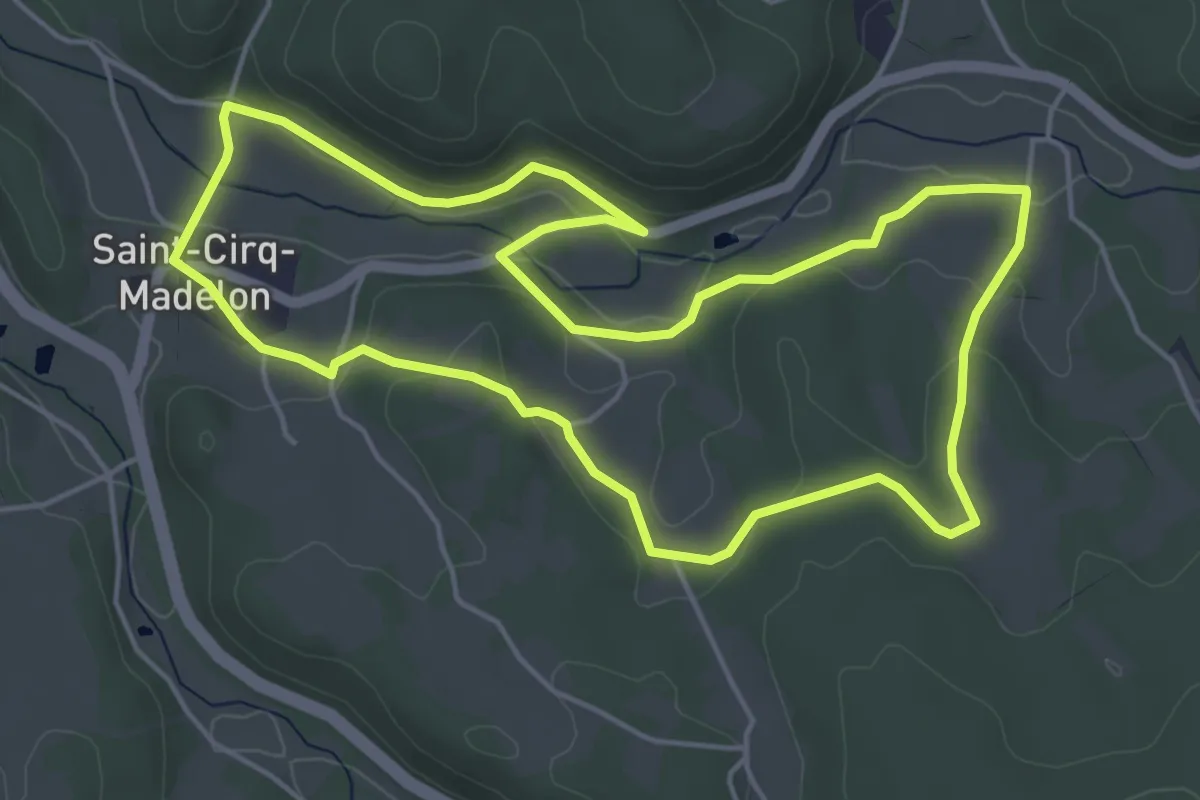
Easy · Trail
Le sentier de la falaise
5.3 km · ↑ 91 m · 1 h 32 min · 8 km away
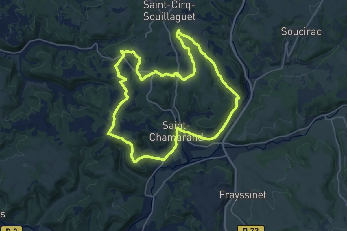
Medium · Trail
Chemin de la fontaine de Peyrebru
15.5 km · ↑ 293 m · 4 h 31 min · 9 km away
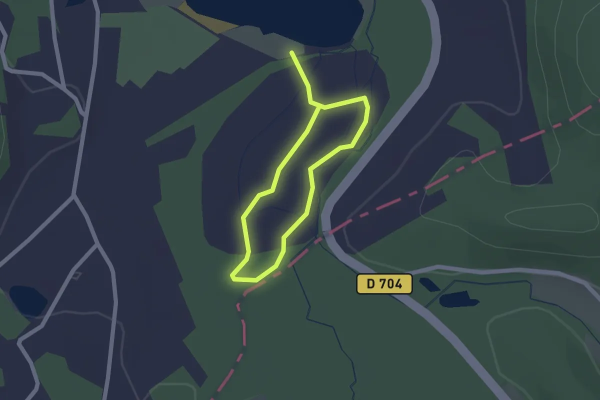
Easy · Trail
Sentier d'interprétation des marais de Groléjac
1.3 km · ↑ 4 m · 20 min · 10 km away
Medium · Trail
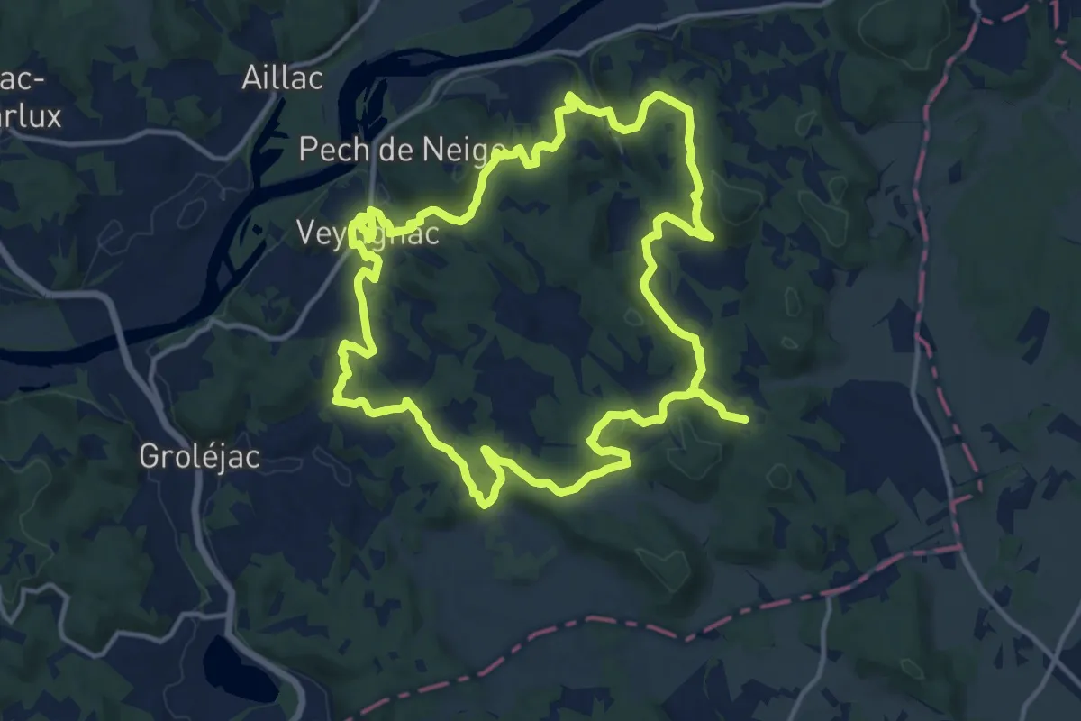
Boucle de Veyrignac
14.3 km · ↑ 352 m · 4 h 20 min · 10 km away
Demanding · Trail
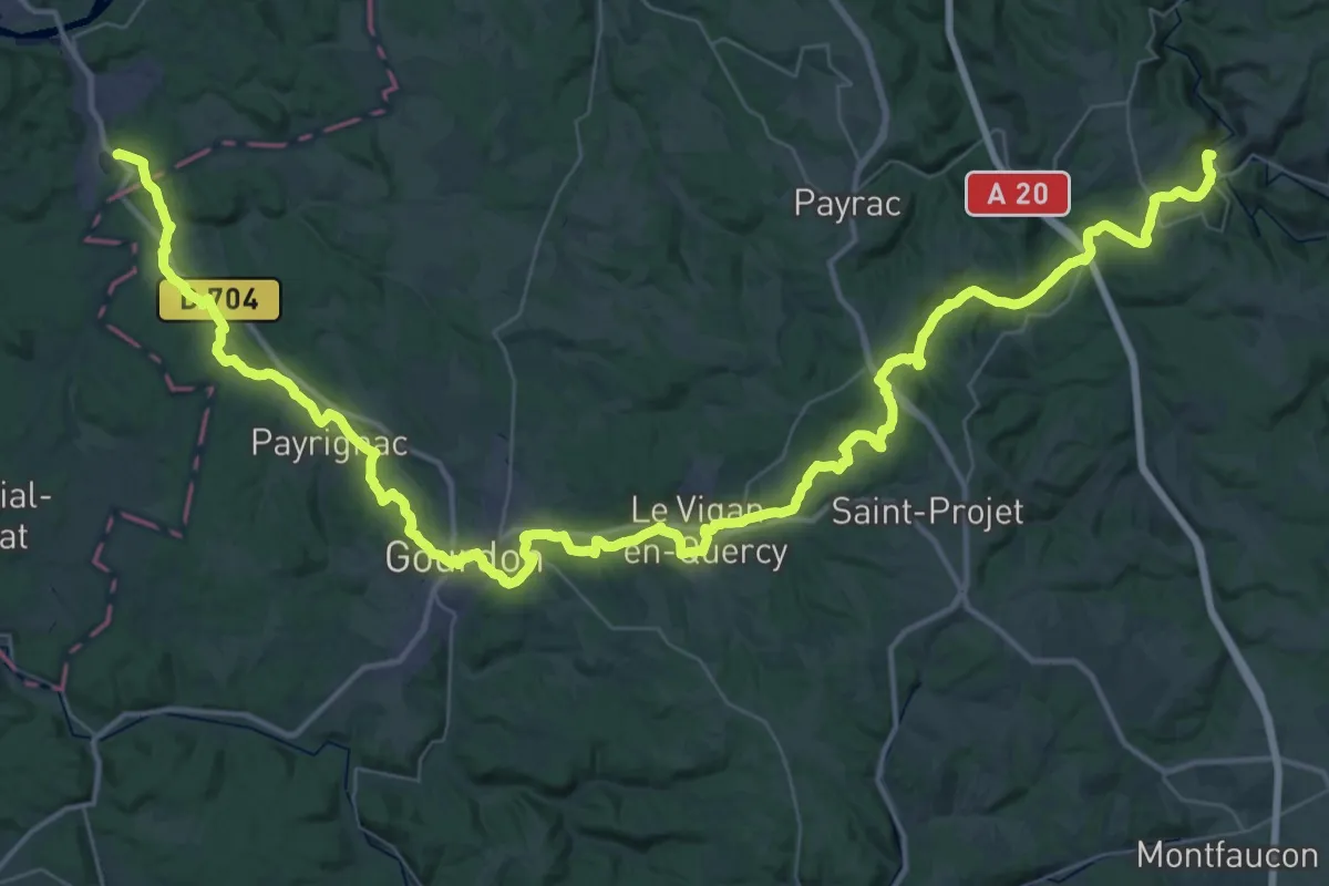
De Rocamadour aux Eyzies-de-Tayac-Sireuil
35.4 km · ↑ 671 m · 10 h 17 min · 10 km away
Medium · Trail
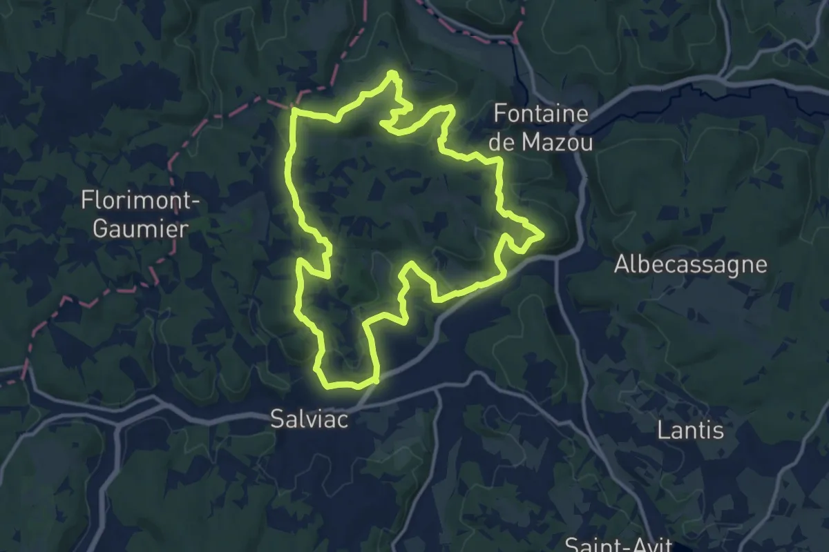
Causse toujours
13.3 km · ↑ 378 m · 4 h 9 min · 10 km away
Easy · Trail
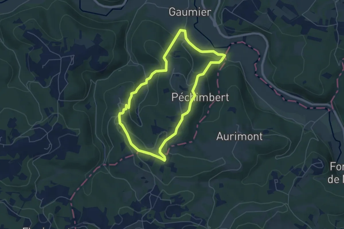
Boucle Péchimbert
5.2 km · ↑ 198 m · 1 h 44 min · 11 km away
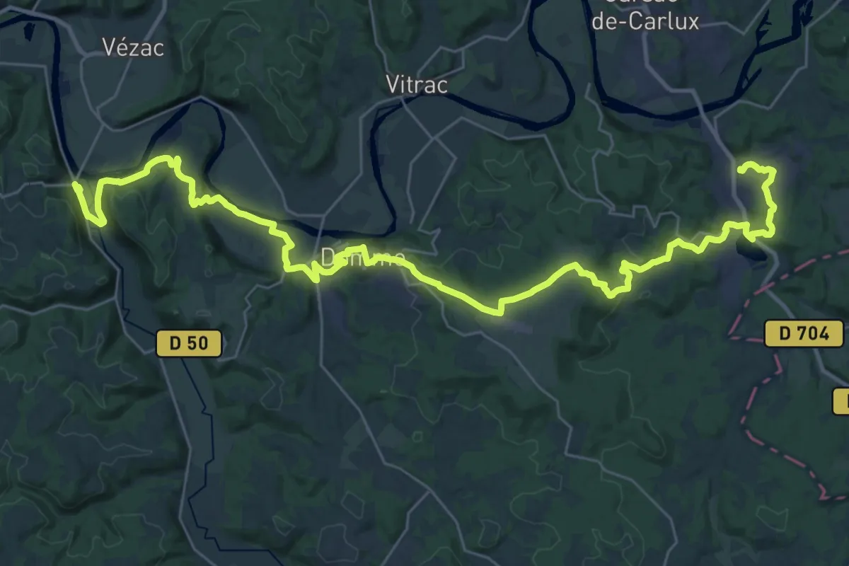
Demanding · Trail
Étape 18 • Chemin d'Amadour
21.1 km · ↑ 490 m · 6 h 20 min · 11 km away
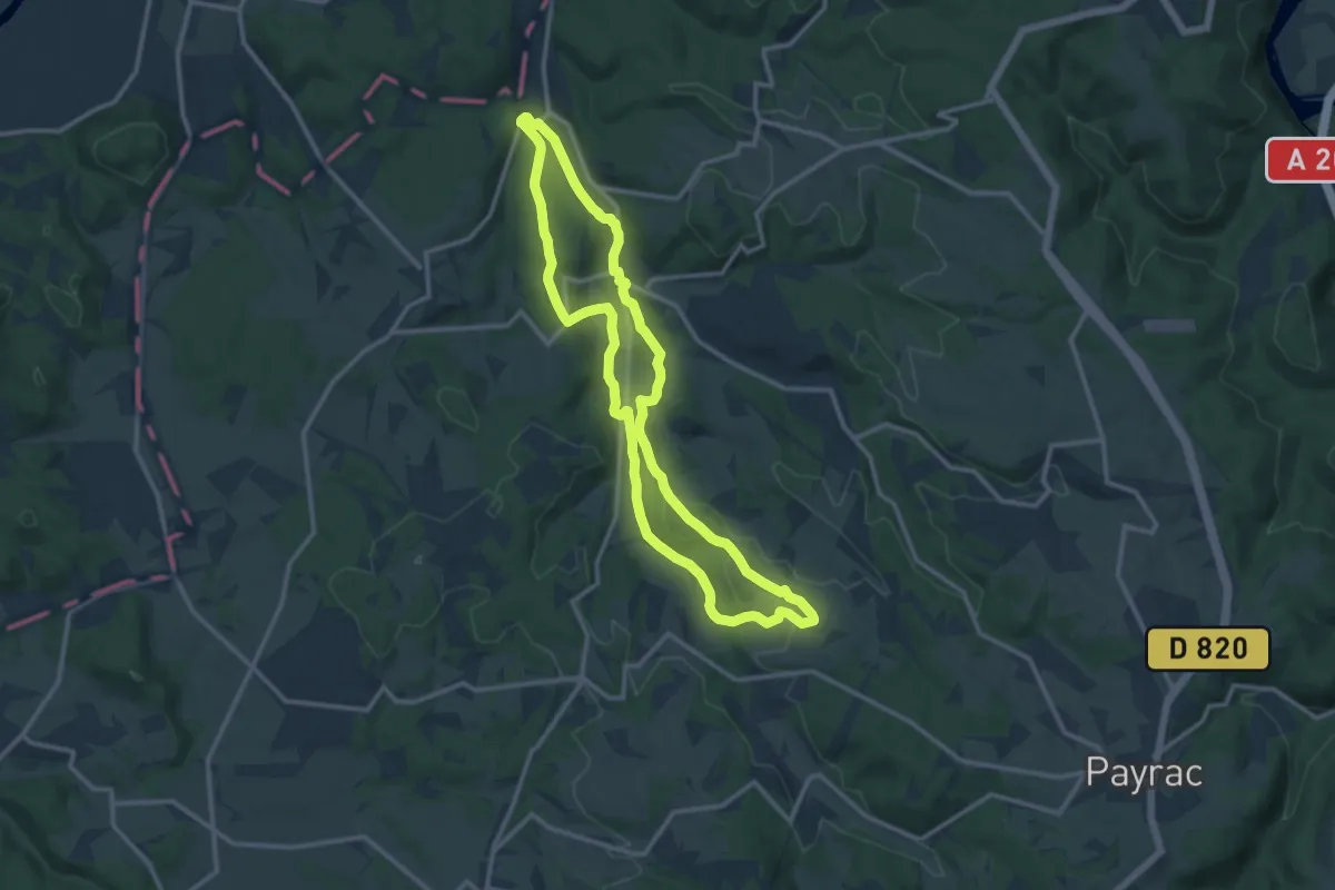
Medium · Trail
Chemin des moulins
12.4 km · ↑ 264 m · 3 h 40 min · 11 km away
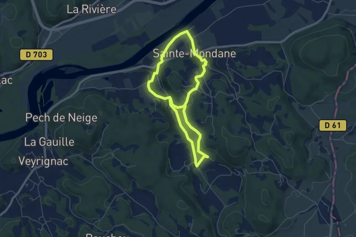
Easy · Trail
Chemin des meniers
5.1 km · ↑ 170 m · 1 h 38 min · 12 km away
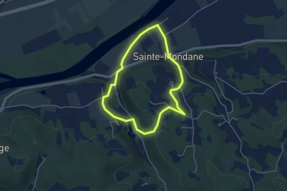
Easy · Trail
Boucle des moulins
3.2 km · ↑ 92 m · 59 min · 12 km away
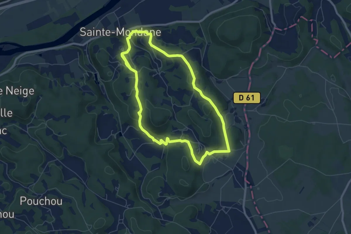
Easy · Trail
Boucle de Fénelon
6.5 km · ↑ 195 m · 2 h 3 min · 12 km away
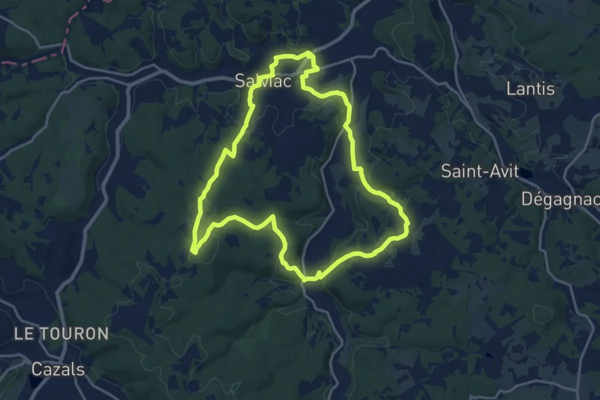
Medium · Trail
Le Gaillard
12.5 km · ↑ 313 m · 3 h 48 min · 13 km away
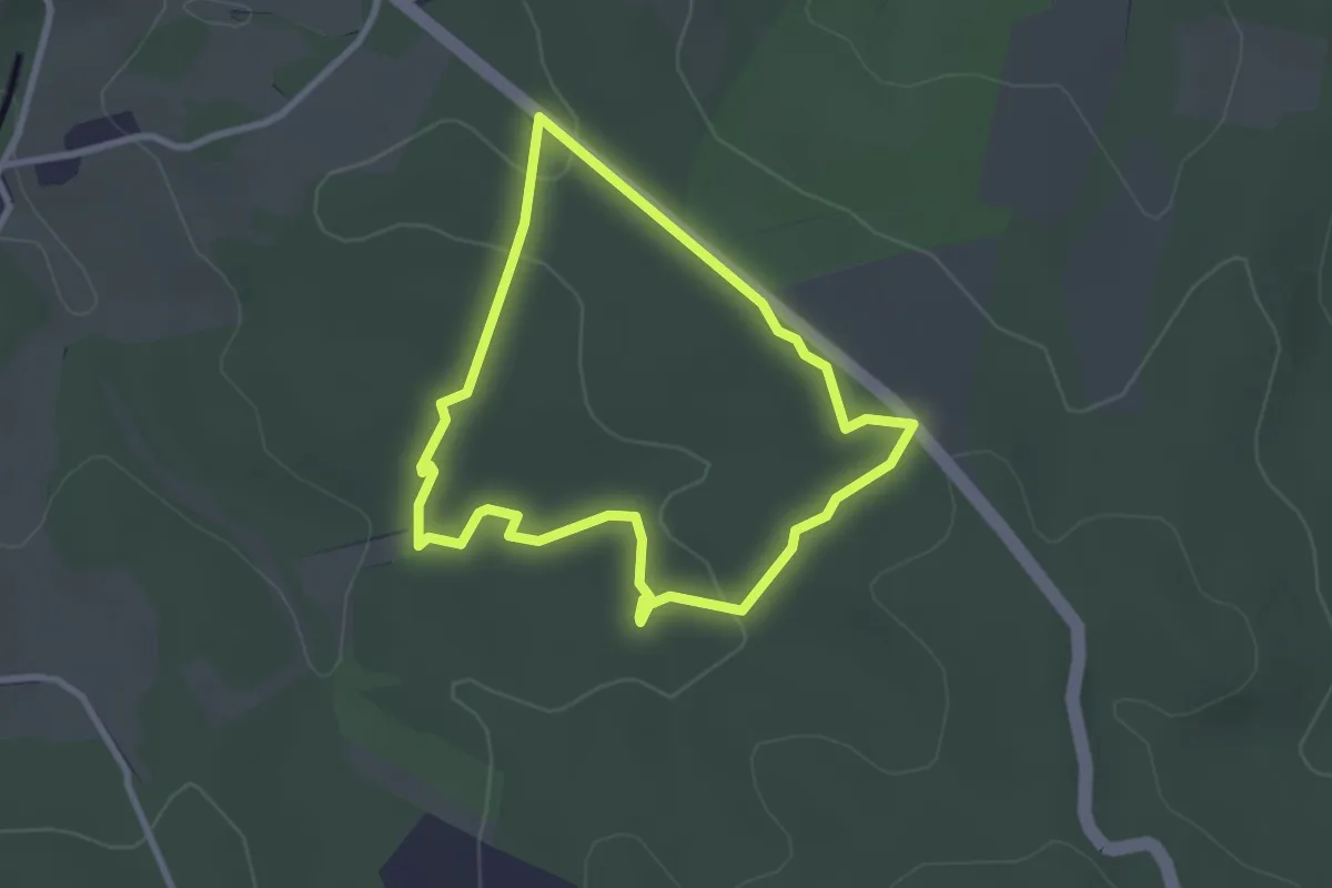
Easy · Trail
Circuit des Landes du Frau
2.6 km · ↑ 34 m · 43 min · 13 km away
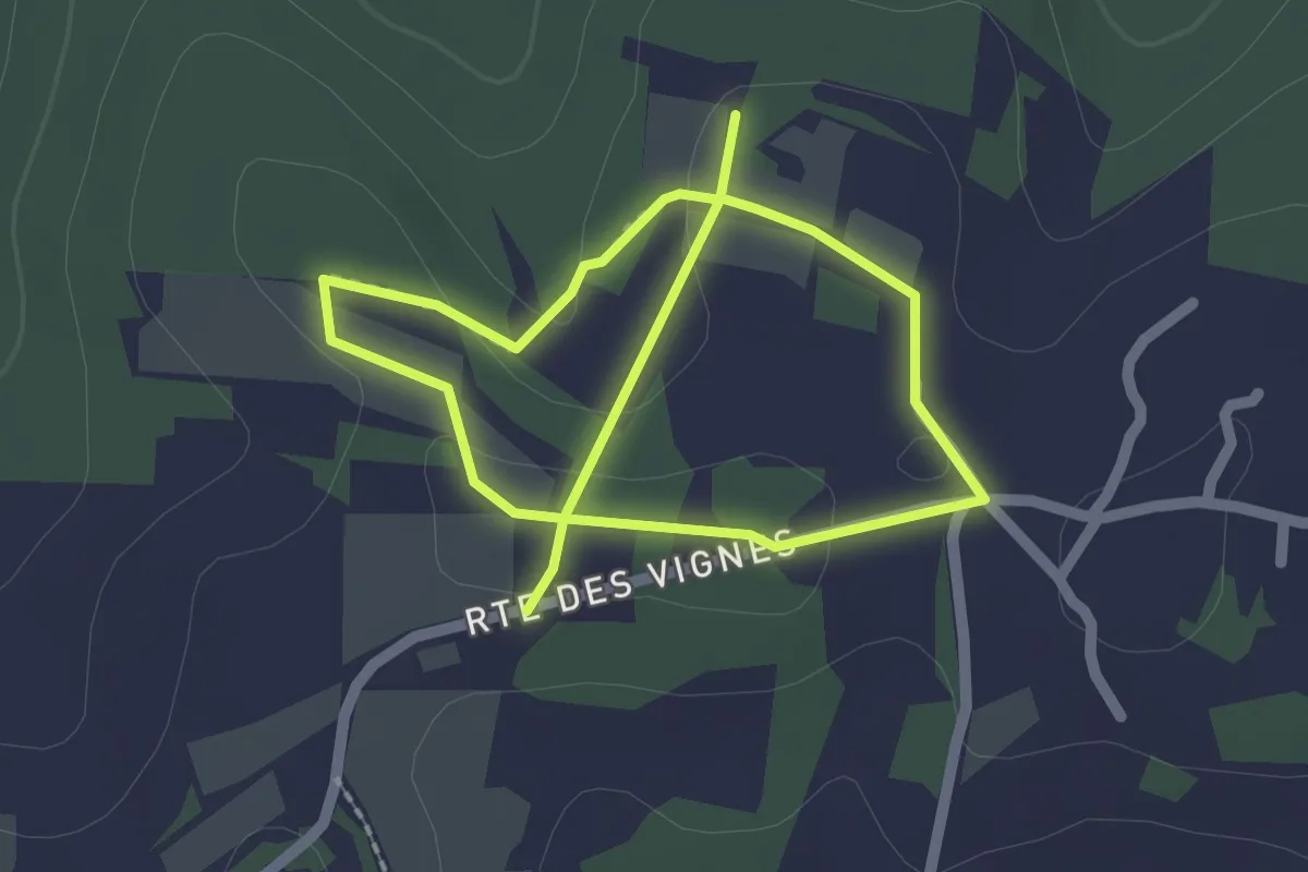
Easy · Trail
Sentier des vignes
3.7 km · ↑ 54 m · 1 h · 13 km away
Easy · Trail
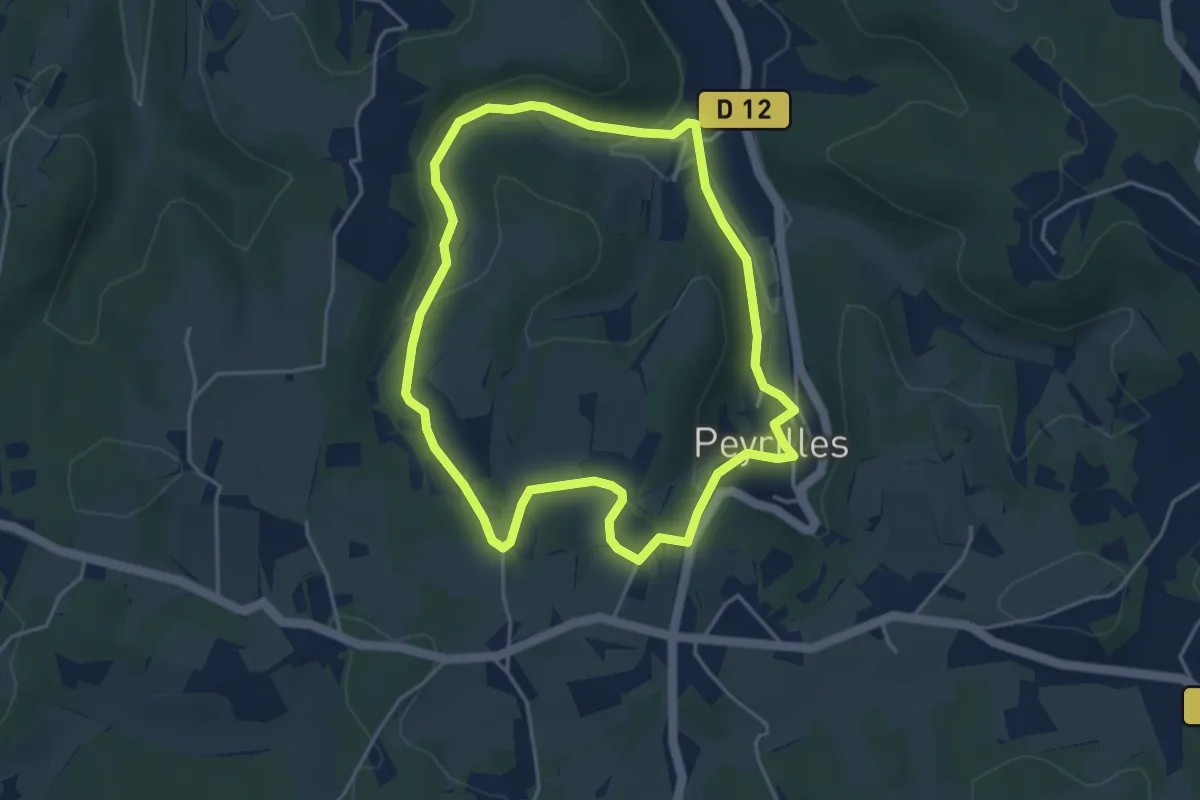
Sentier du Château
4.2 km · ↑ 110 m · 1 h 18 min · 13 km away
Medium · Trail
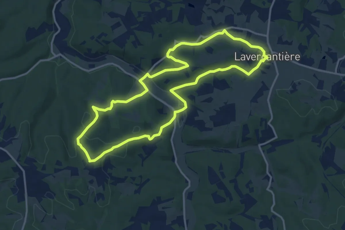
Circuit de l'église Saint-Martin
10.0 km · ↑ 274 m · 3 h 6 min · 13 km away
Medium · Trail
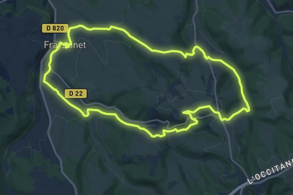
Entre Causse et Bouriane
12.5 km · ↑ 292 m · 3 h 45 min · 14 km away
Easy · Trail
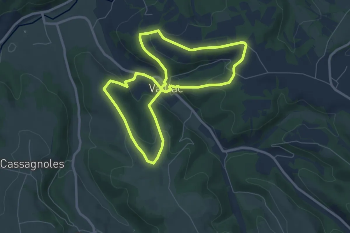
La ronde autour du château
6.1 km · ↑ 188 m · 1 h 56 min · 14 km away
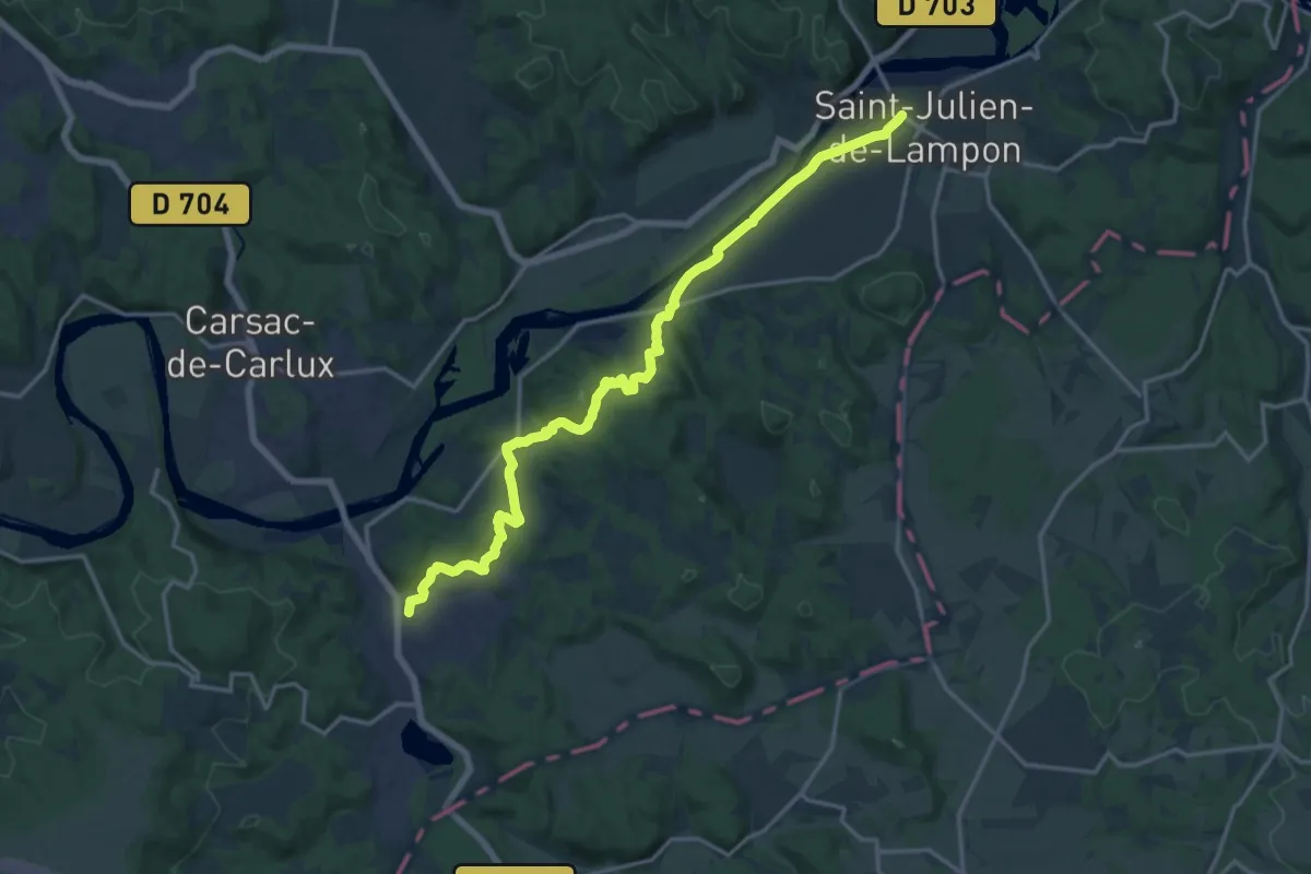
Demanding · Trail
Étape 19 • Chemin d'Amadour
18.4 km · ↑ 314 m · 5 h 2 min · 14 km away
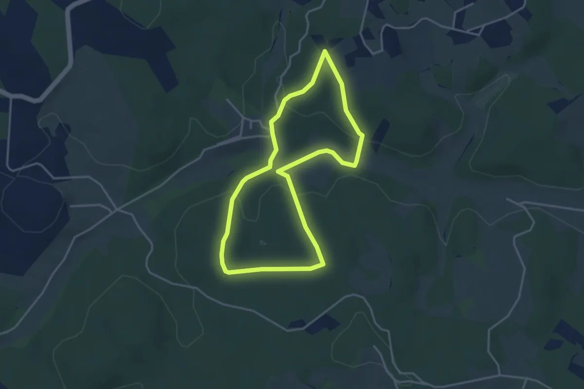
Easy · Trail
Circuit du Dégagnazès
3.4 km · ↑ 84 m · 1 h 2 min · 14 km away
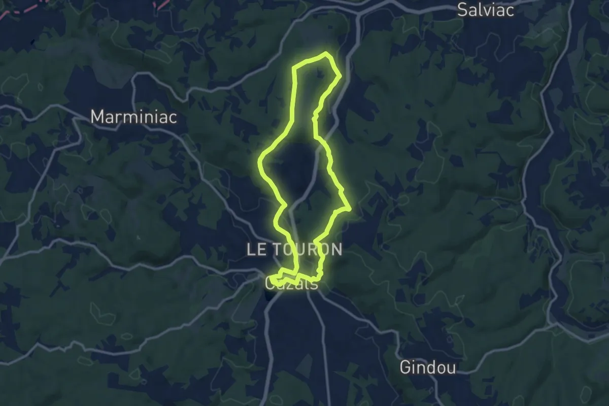
Medium · Trail
Circuit de l'église de Luziers
9.8 km · ↑ 238 m · 2 h 58 min · 15 km away