Trails near L'Île-Rousse
39 hikes starting within 15 km, nearest first.
Nearest first
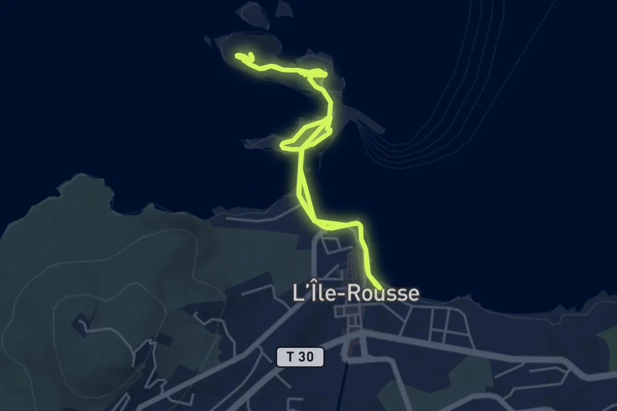
Easy · Trail
Balade littorale d'A Pietra
4.8 km · ↑ 13 m · 1 h 13 min · under 1 km away
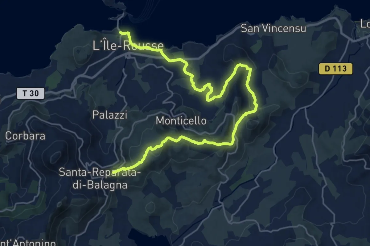
Demanding · Trail
Reparata-Ile Rousse
23.3 km · ↑ 574 m · 6 h 45 min · under 1 km away
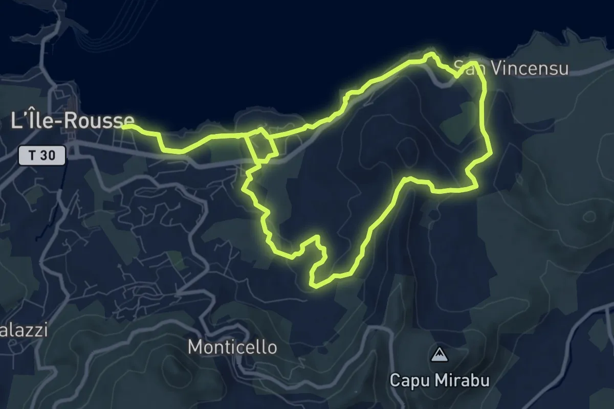
Medium · Trail
Boucle de Saleccia
11.6 km · ↑ 224 m · 3 h 22 min · 1 km away
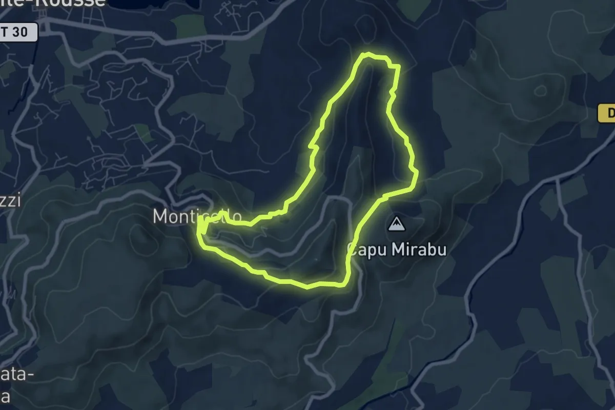
Easy · Trail
Boucle de la Vallée d'Arbo
7.1 km · ↑ 236 m · 2 h 18 min · 2 km away
Easy · Trail
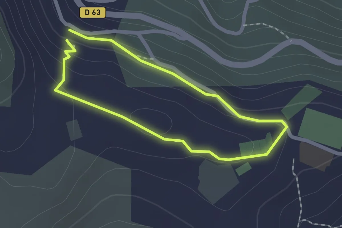
Boucle Funtana Suprana - Monticello
1.4 km · ↑ 44 m · 27 min · 3 km away
Medium · Trail
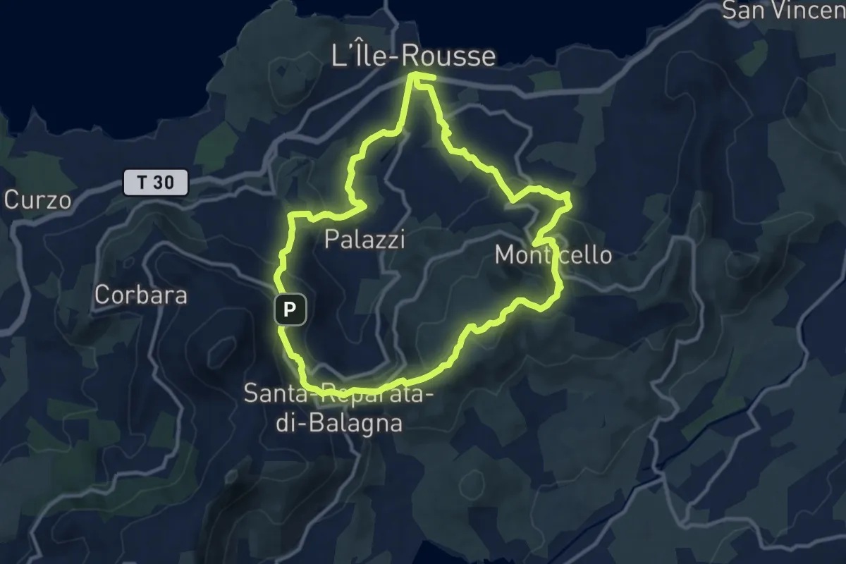
Giru L'Île-Rousse - Sta Reparata - Monticello
11.6 km · ↑ 425 m · 3 h 49 min · 3 km away
Easy · Trail
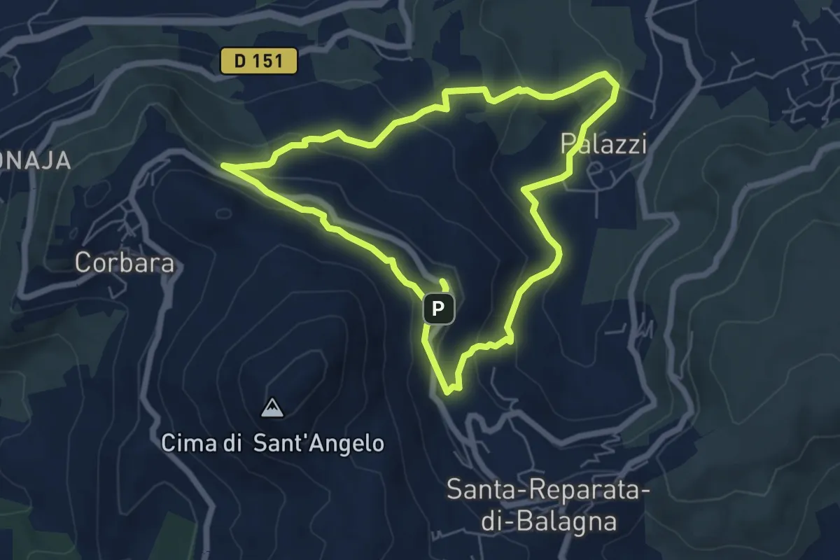
Giru Occiglioni-Palmentu
6.0 km · ↑ 278 m · 2 h 7 min · 3 km away
Medium · Trail
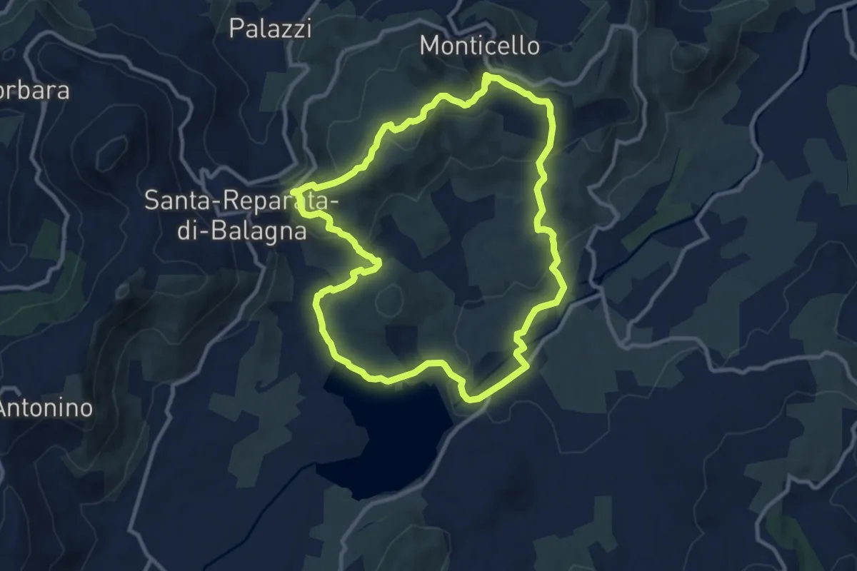
Boucle du barrage de Codole
10.3 km · ↑ 306 m · 3 h 15 min · 3 km away
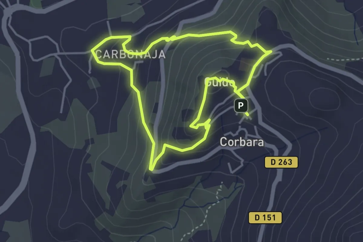
Easy · Trail
Boucle Corbara - Carbunaghja
3.8 km · ↑ 209 m · 1 h 25 min · 3 km away
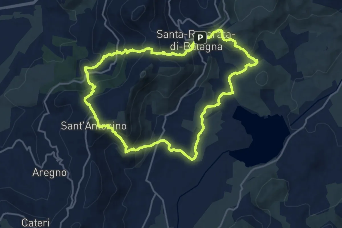
Medium · Trail
Giru di Santa Reparata
11.6 km · ↑ 575 m · 4 h 8 min · 3 km away
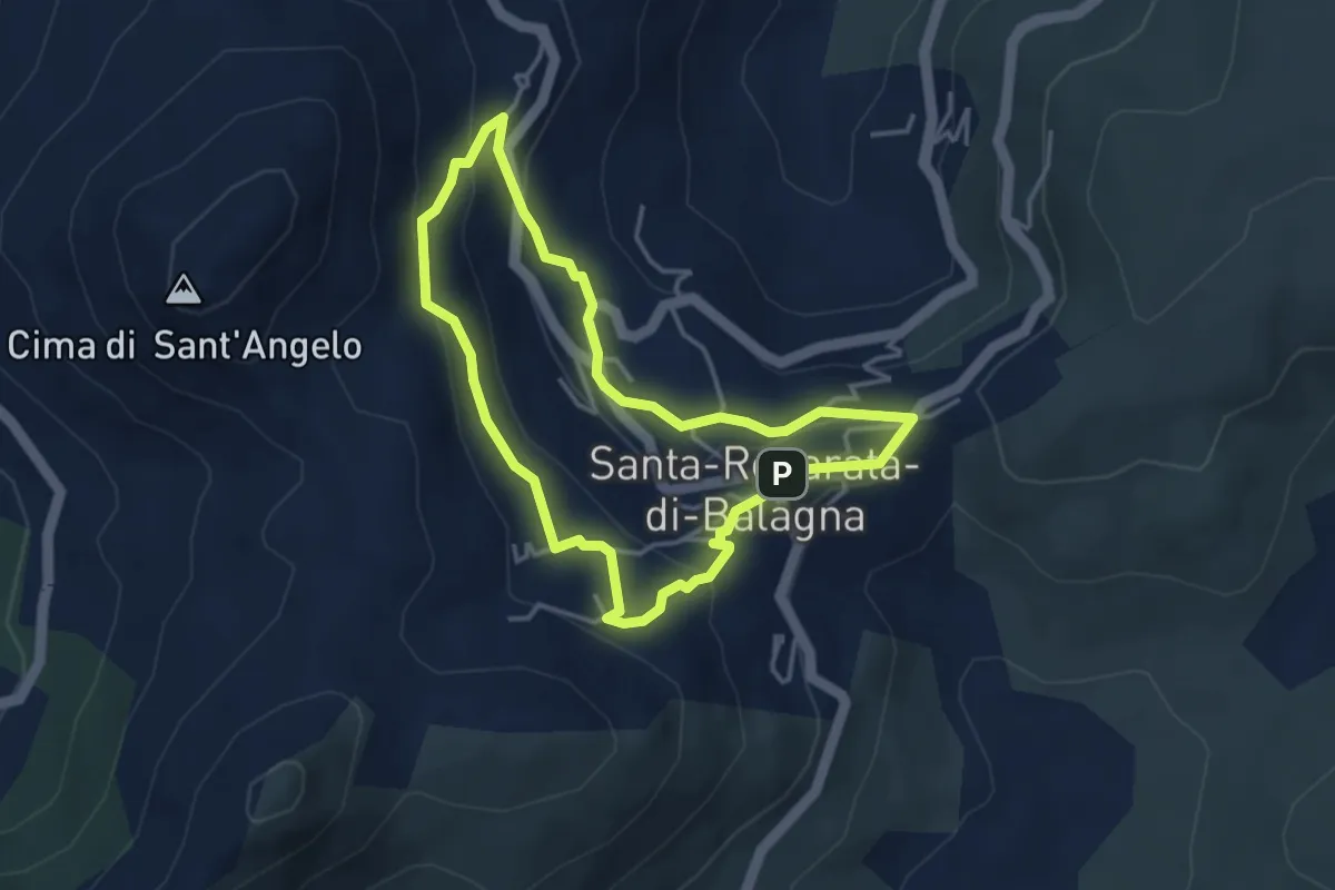
Easy · Trail
Giru di i Poghji di Santa Reparata di Balagna
3.8 km · ↑ 159 m · 1 h 17 min · 3 km away
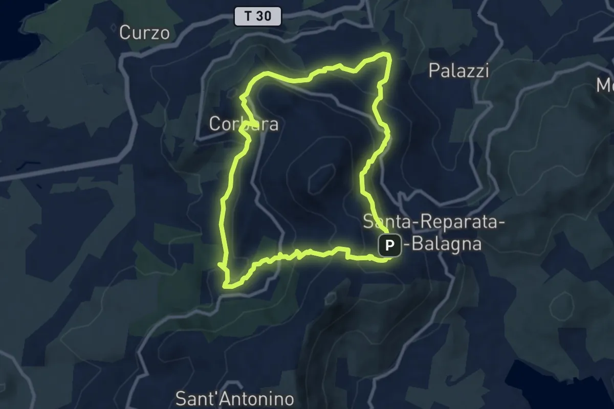
Medium · Trail
Tour de la Cima Sant'Anghjulu
8.7 km · ↑ 440 m · 3 h 8 min · 4 km away
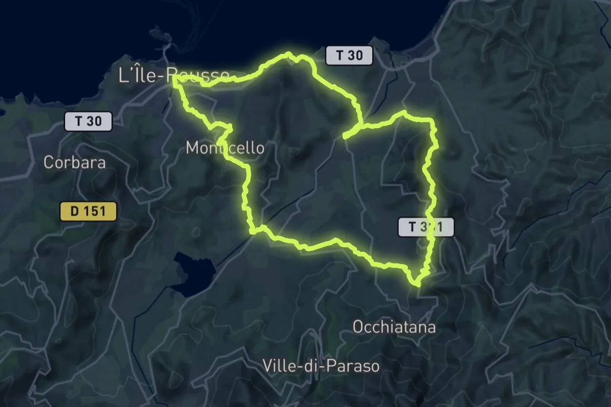
Demanding · Trail
Boucle de la Vallée du Reginu
27.7 km · ↑ 844 m · 8 h 46 min · 5 km away
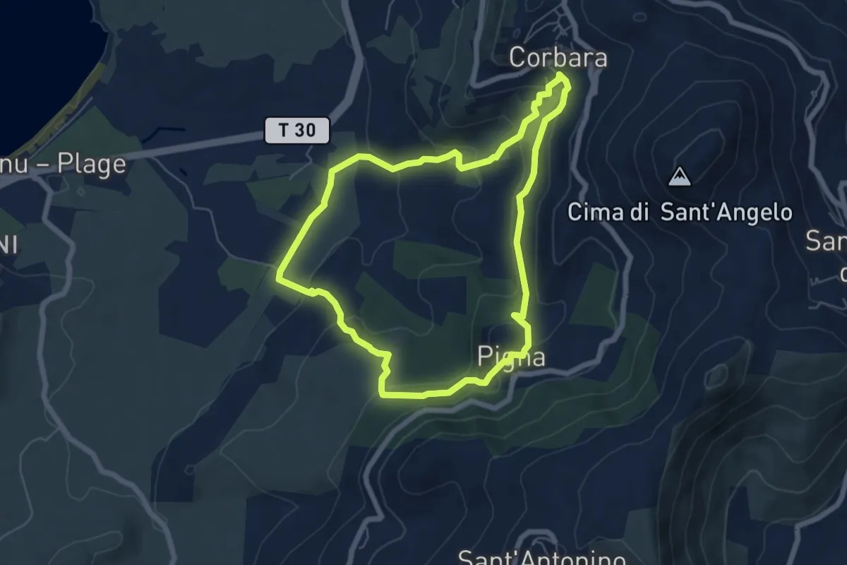
Easy · Trail
Boucle de San Ciprianu
6.0 km · ↑ 267 m · 2 h 5 min · 5 km away
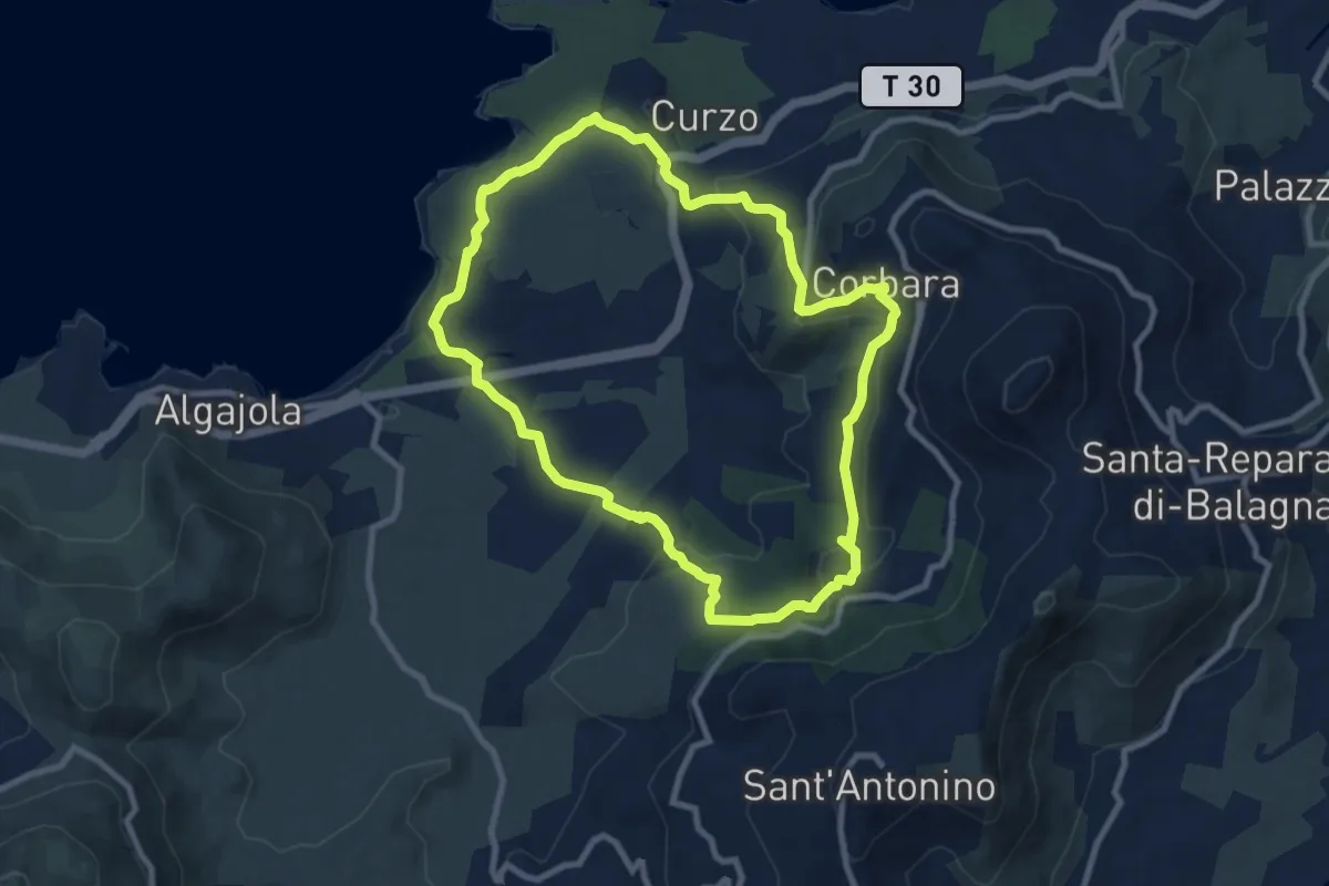
Medium · Trail
Boucle de Corbara - Pigna - Varcale
9.4 km · ↑ 317 m · 3 h 2 min · 6 km away
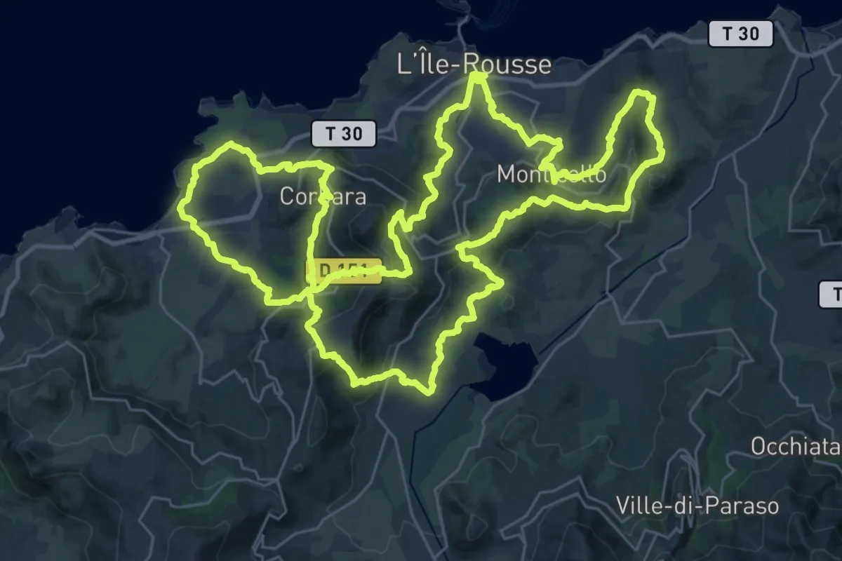
Demanding · Trail
Boucle autour de L'Ile-Rousse
38.5 km · ↑ 1527 m · 12 h 56 min · 6 km away
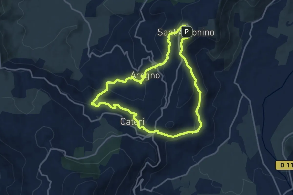
Medium · Trail
Boucle de la Pieve d'Aregno
9.2 km · ↑ 456 m · 3 h 18 min · 6 km away
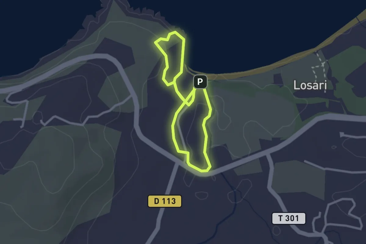
Easy · Trail
Balade littorale de Losari
2.3 km · ↑ 18 m · 37 min · 6 km away
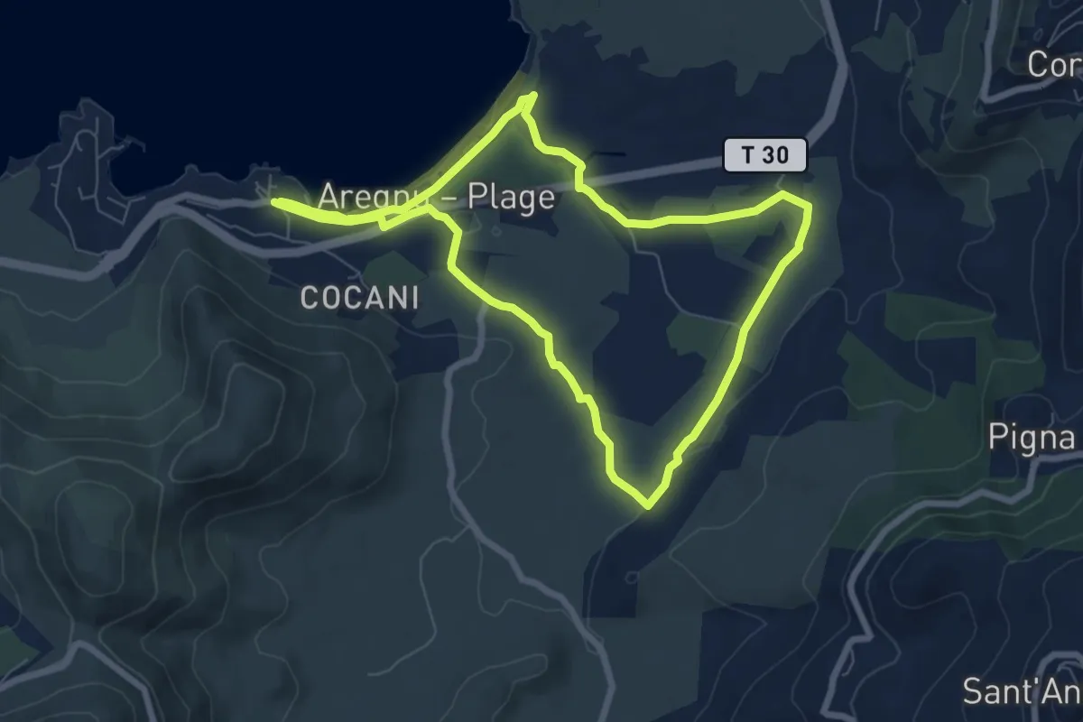
Easy · Trail
Boucle d'Algajola
7.4 km · ↑ 72 m · 2 h · 7 km away
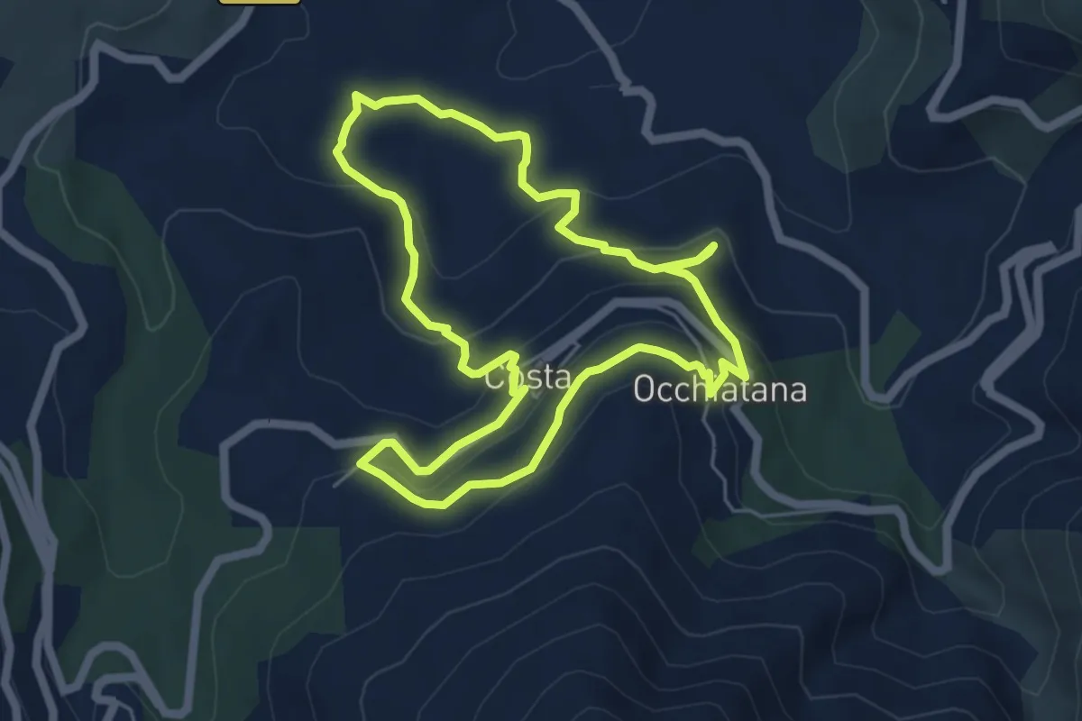
Easy · Trail
Boucle de San Bastianu
5.5 km · ↑ 261 m · 1 h 56 min · 8 km away
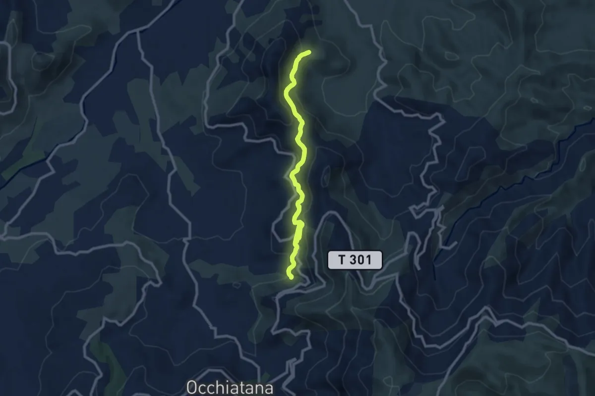
Medium · Trail
Sentier E Spelonche
8.4 km · ↑ 394 m · 2 h 58 min · 8 km away
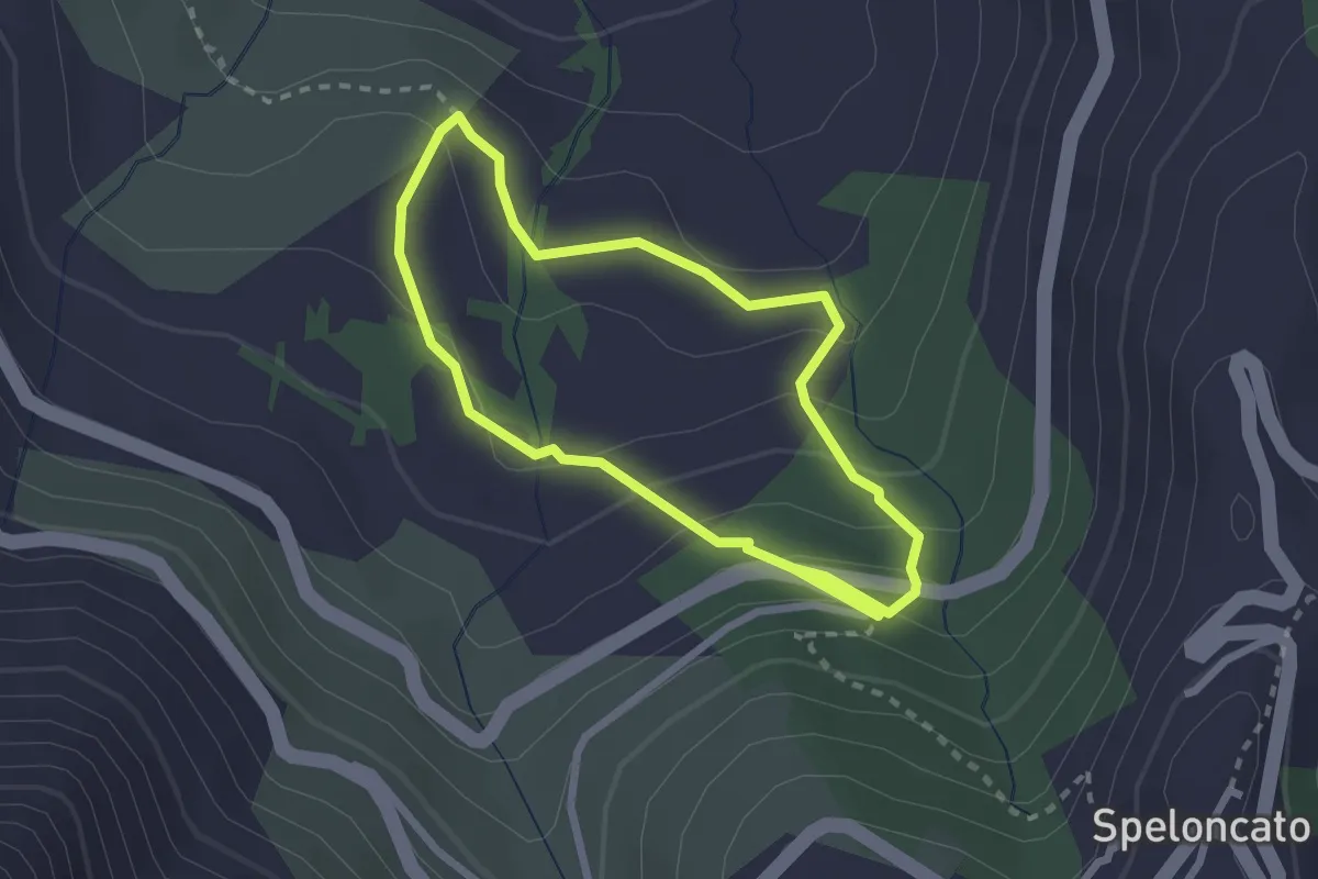
Medium · Trail
Sentier du Patrimoine de Speloncato
2.4 km · ↑ 133 m · 52 min · 8 km away
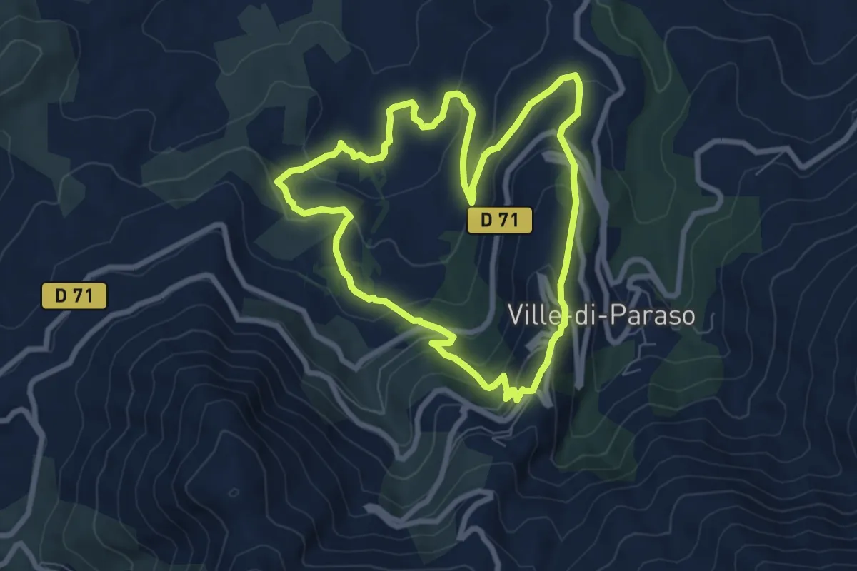
Medium · Trail
Boucle de Giustiniani
7.5 km · ↑ 363 m · 2 h 40 min · 8 km away
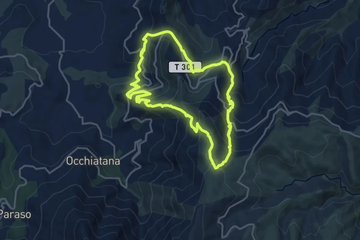
Medium · Trail
Boucle de Sant'Antone
10.6 km · ↑ 716 m · 4 h 12 min · 8 km away
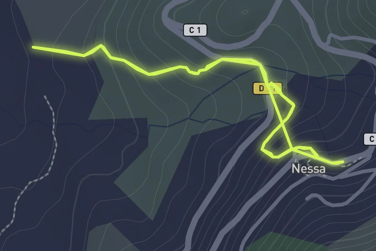
Easy · Trail
Accès Boucle de Sant'Andria (Nessa)
2.8 km · ↑ 185 m · 1 h 5 min · 9 km away
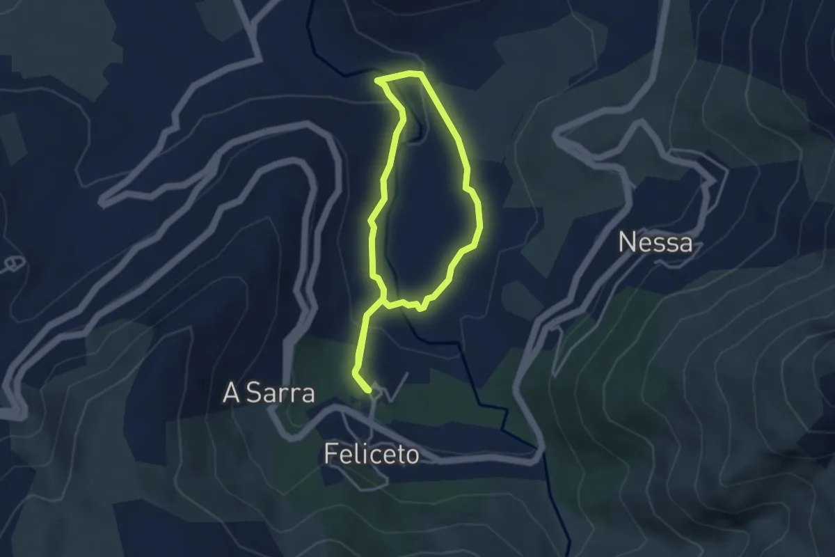
Easy · Trail
Boucle de Sant'Andria
3.1 km · ↑ 93 m · 58 min · 10 km away
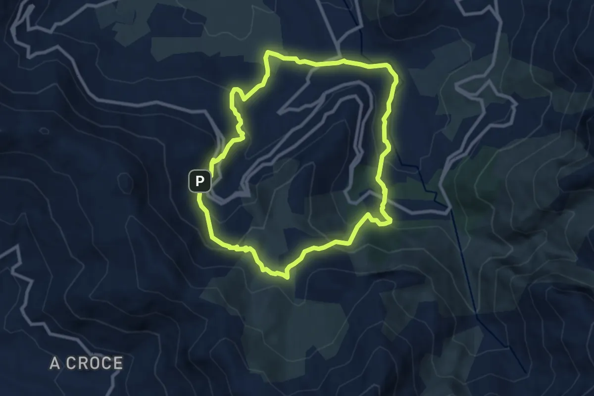
Demanding · Trail
Boucle de Feliceto - Muro
7.9 km · ↑ 381 m · 2 h 47 min · 10 km away
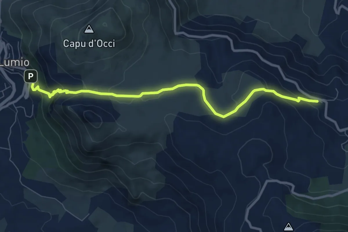
Medium · Trail
Paese à Paese Lumiu-Lavatoghju
8.4 km · ↑ 313 m · 2 h 39 min · 10 km away
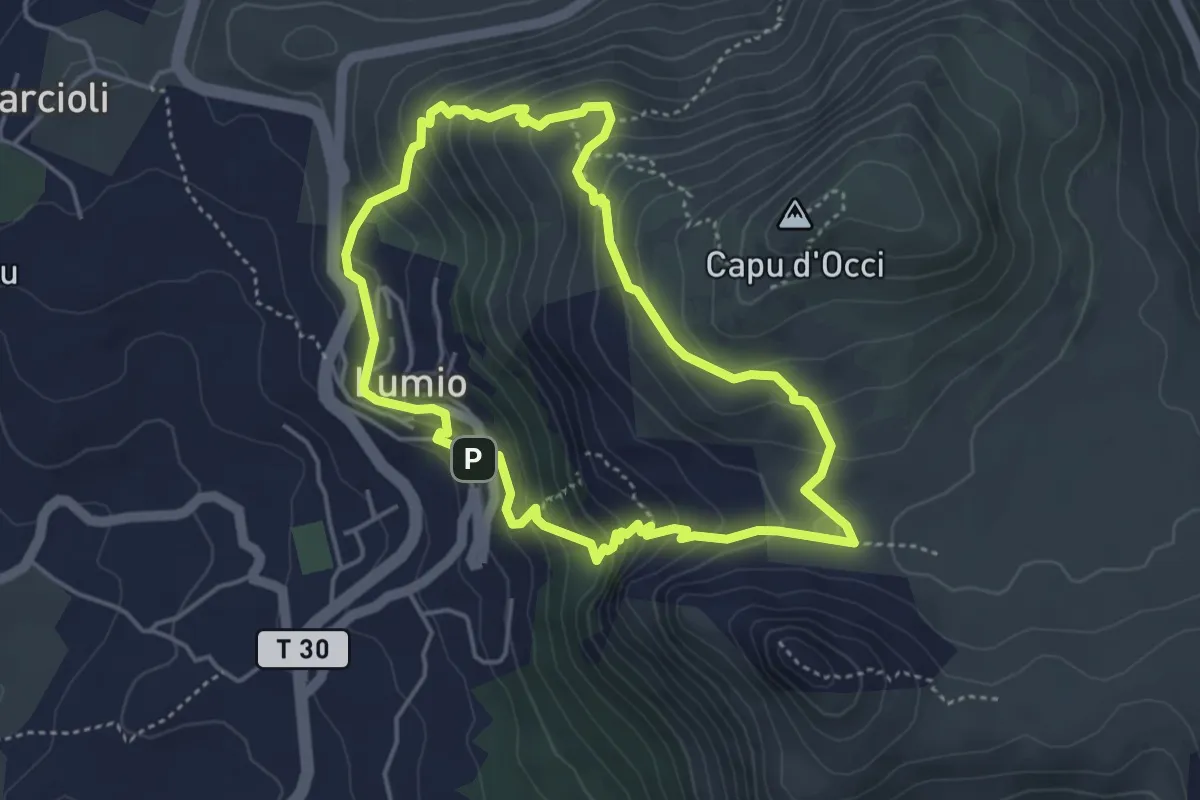
Medium · Trail
Sentier du Patrimoine de Lumio
4.4 km · ↑ 292 m · 1 h 44 min · 11 km away
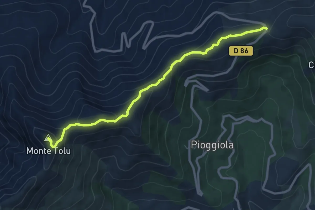
Demanding · Summit
Monte Tolu
6.8 km · ↑ 272 m · 2 h 11 min · 11 km away
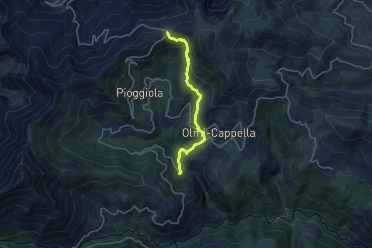
Medium · Trail
Mausoleo
9.3 km · ↑ 453 m · 3 h 11 min · 11 km away
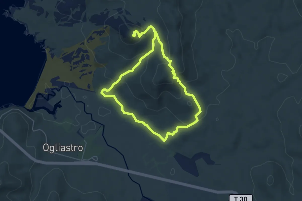
Easy · Summit
Balade littorale de la Punta Liatoggiu
5.0 km · ↑ 233 m · 1 h 45 min · 11 km away
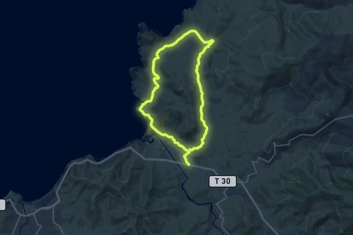
Medium · Trail
Boucle du massif côtier de la Punta di Tilariu
13.5 km · ↑ 209 m · 3 h 50 min · 11 km away
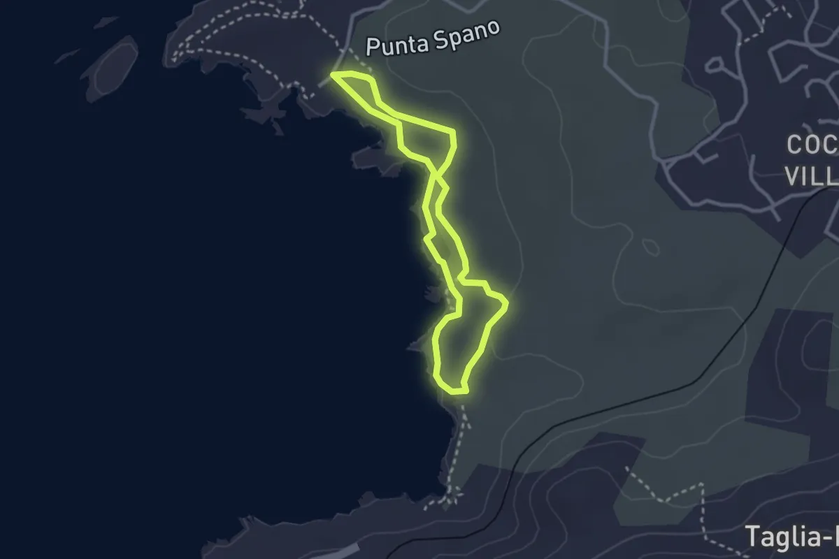
Easy · Trail
Balade littorale de la Punta Spano
2.6 km · ↑ 20 m · 41 min · 11 km away
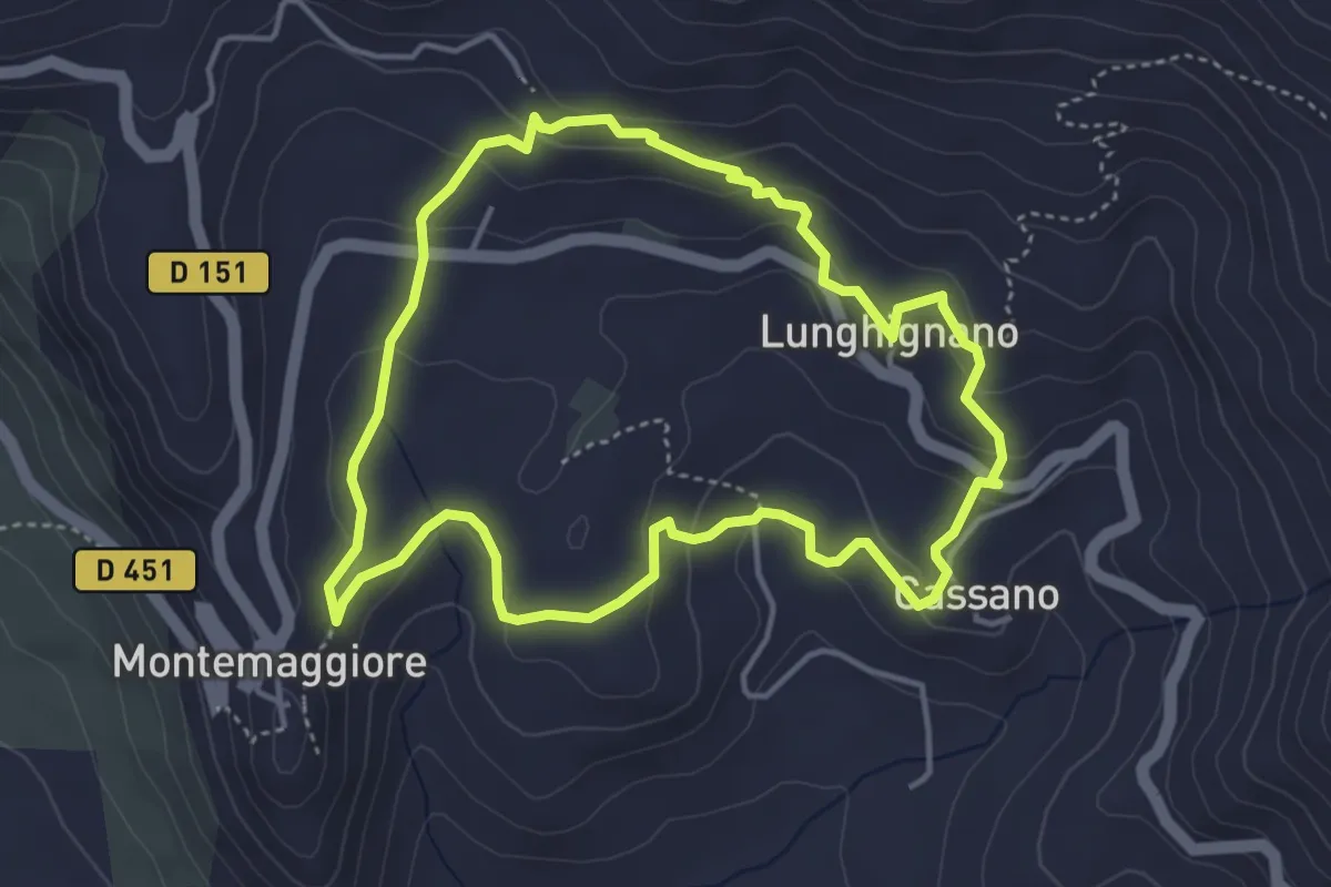
Easy · Trail
Boucle de Montegrosso
4.4 km · ↑ 201 m · 1 h 32 min · 12 km away
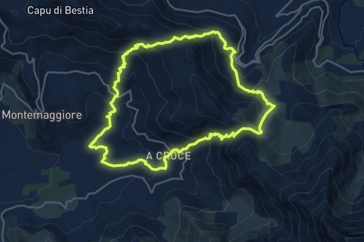
Medium · Trail
Boucle de Montegrosso - Muro - Zilia
11.4 km · ↑ 784 m · 4 h 32 min · 12 km away
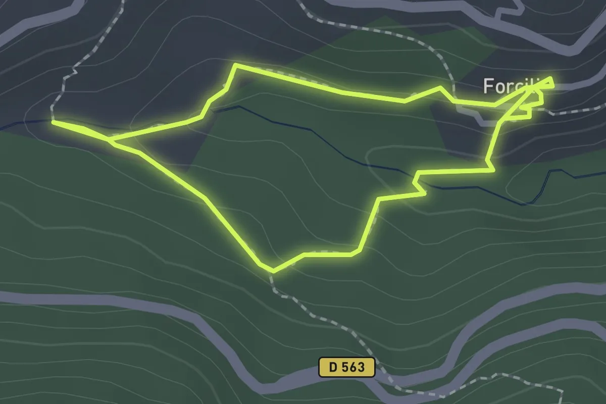
Easy · Trail
Sentier du Patrimoine de Pioggiola
1.9 km · ↑ 84 m · 39 min · 13 km away
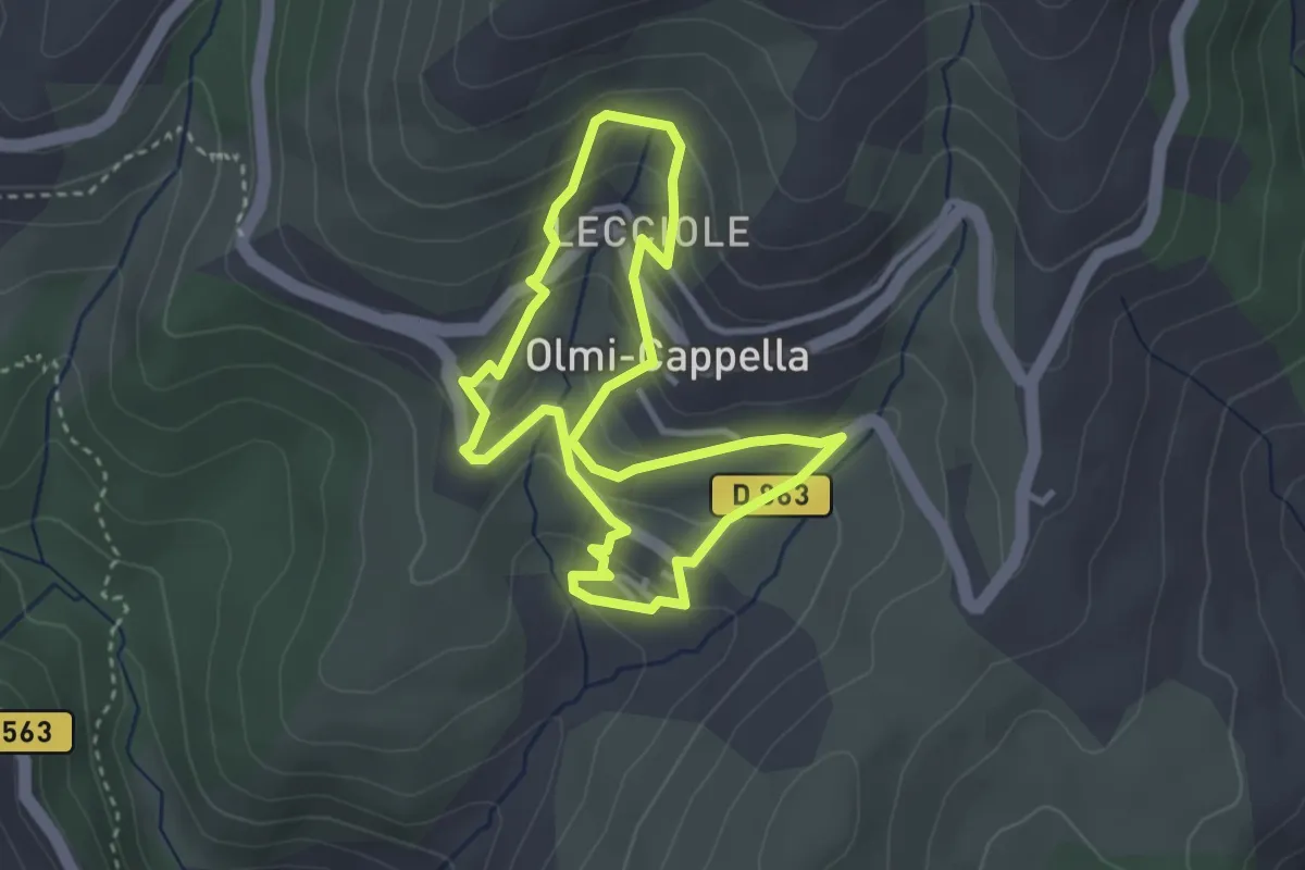
Easy · Trail
Sentier patrimonial d'Olmi-Cappella
3.2 km · ↑ 170 m · 1 h 11 min · 13 km away
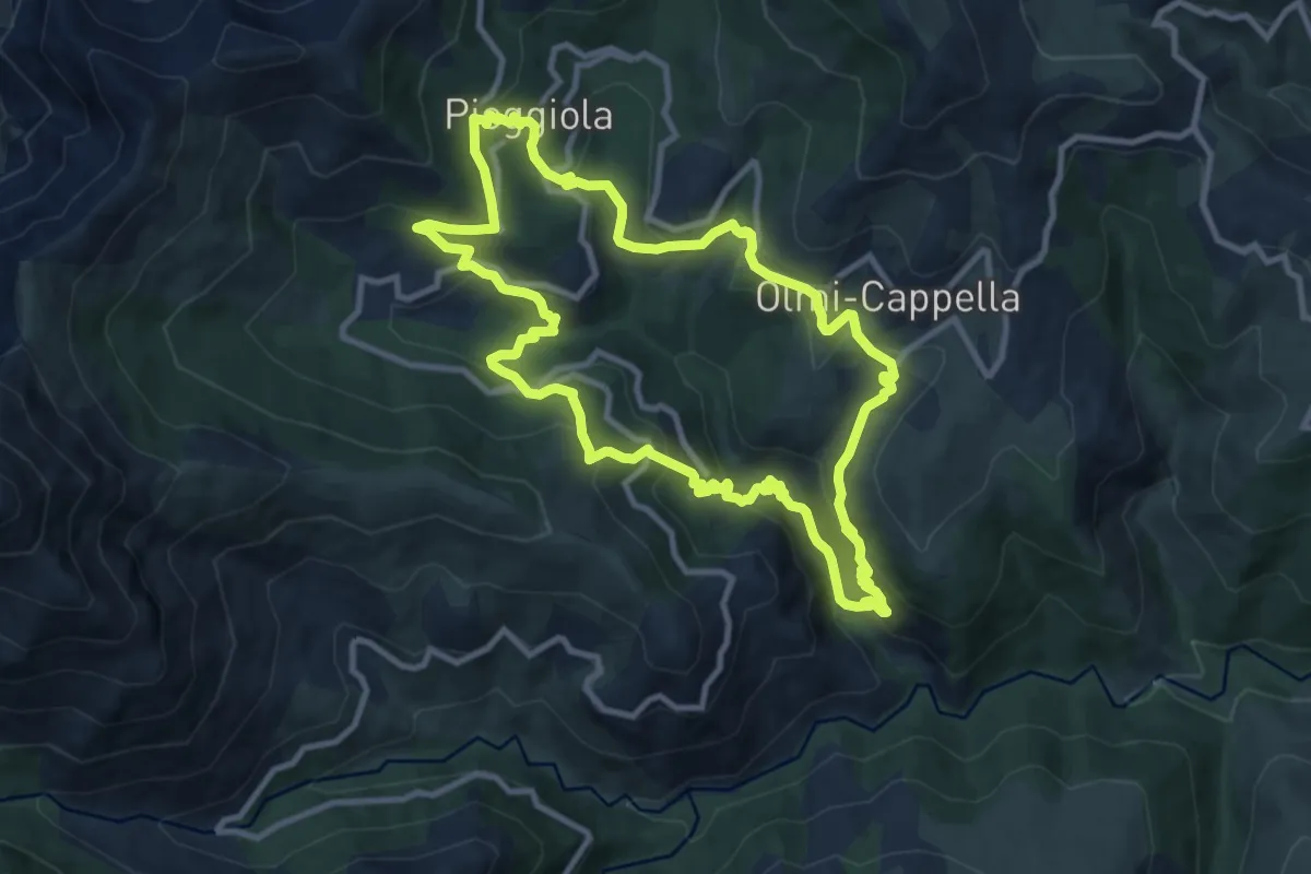
Medium · Trail
Tour des villages du Ghjunsani
11.0 km · ↑ 583 m · 4 h · 14 km away