Trails near La Grand-Combe
23 hikes starting within 15 km, nearest first.
Nearest first
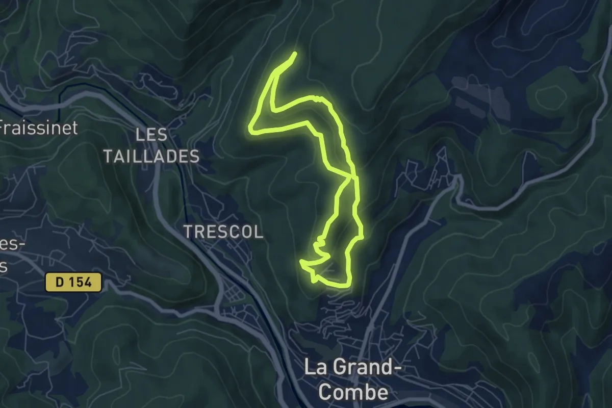
Easy · Trail
Sentier du Puech
6.0 km · ↑ 237 m · 2 h · 2 km away
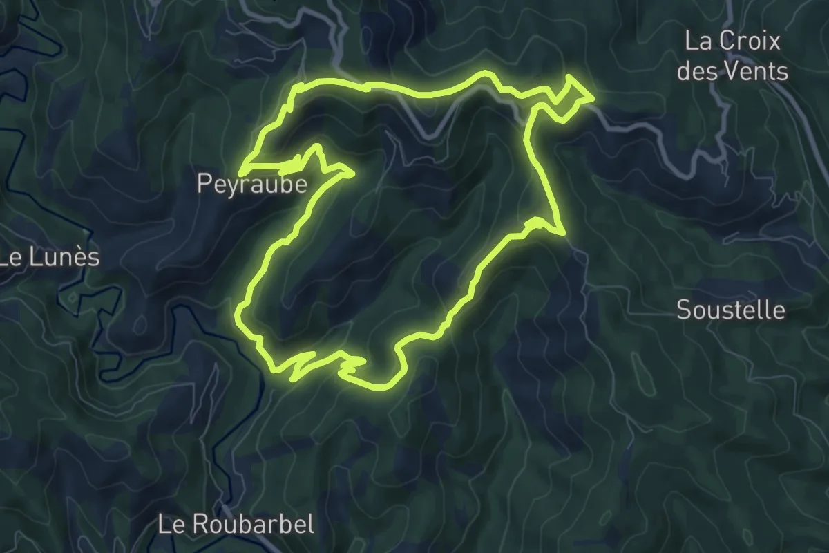
Medium · Trail
Le roc troué
10.1 km · ↑ 501 m · 3 h 36 min · 4 km away
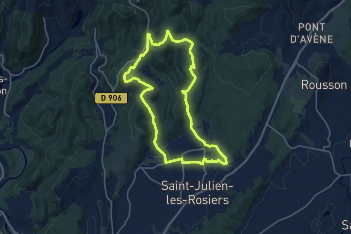
Medium · Trail
La Source de Carabiol
11.4 km · ↑ 334 m · 3 h 35 min · 8 km away
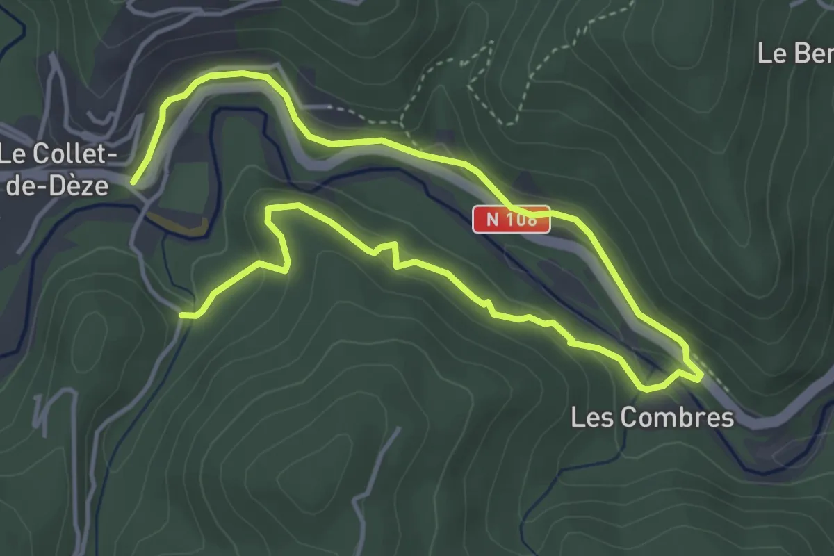
Easy · Trail
PR Sentier de Molières
6.9 km · ↑ 245 m · 2 h 9 min · 9 km away
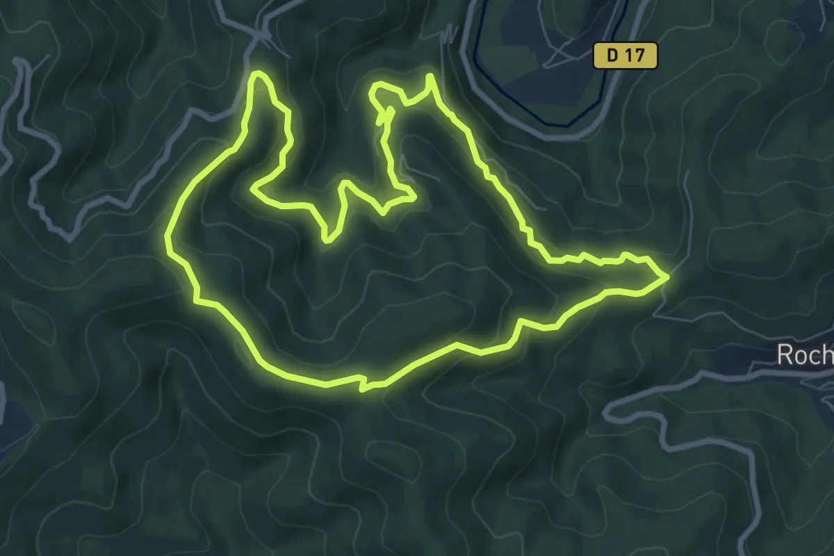
Medium · Trail
Col des 4 chemins
8.5 km · ↑ 470 m · 3 h 9 min · 9 km away
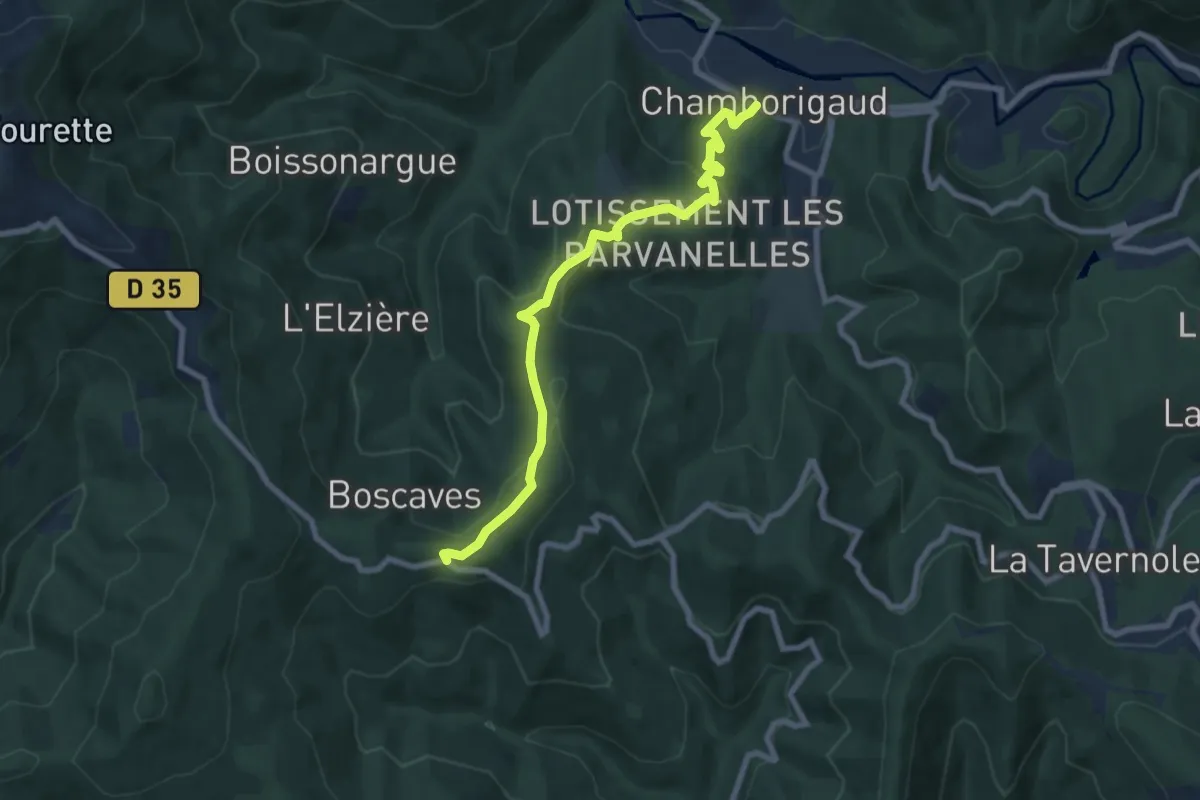
Medium · Trail
Tour de la Haute Vallée du Luech
8.3 km · ↑ 371 m · 2 h 46 min · 10 km away
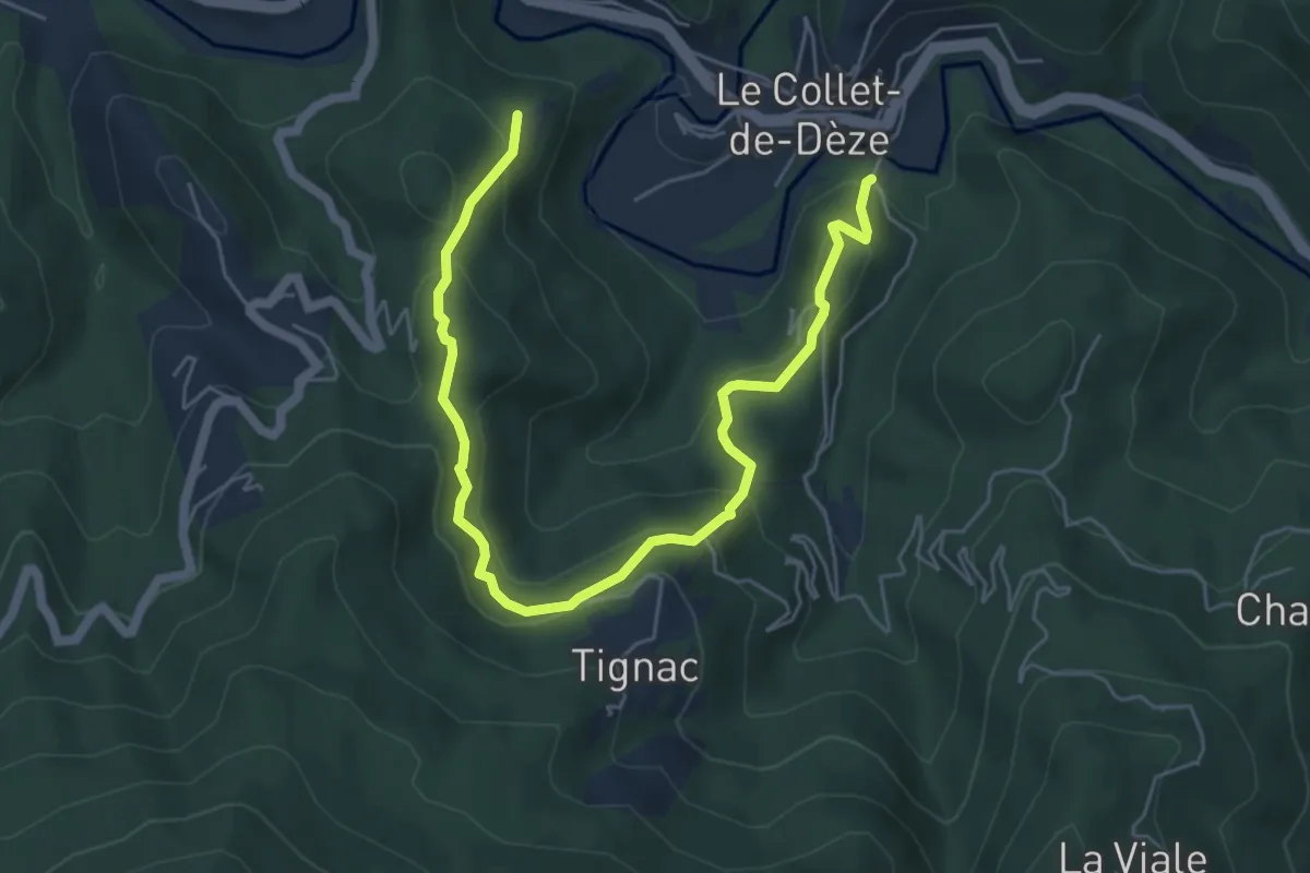
Medium · Trail
Sentier de découverte de Tignac
7.0 km · ↑ 425 m · 2 h 34 min · 10 km away
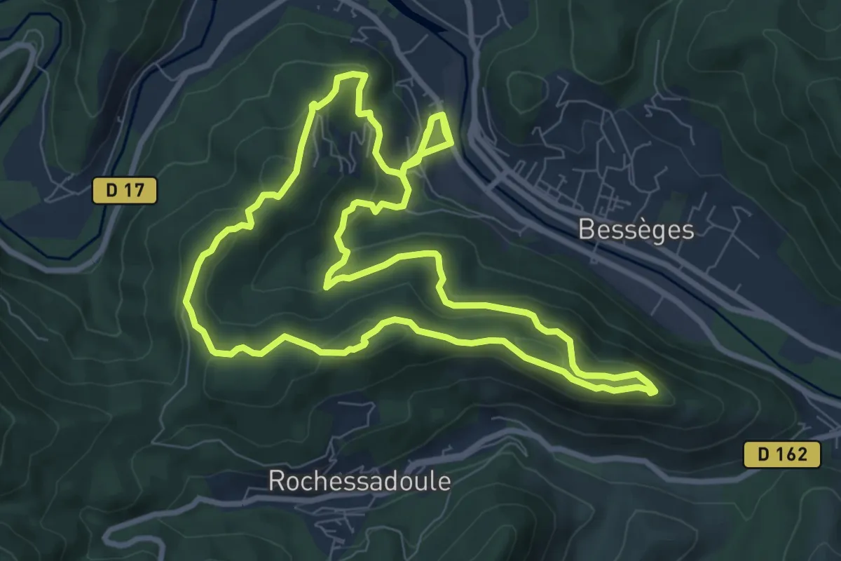
Medium · Trail
Le Ronc Rouge
9.2 km · ↑ 354 m · 3 h 6 min · 10 km away
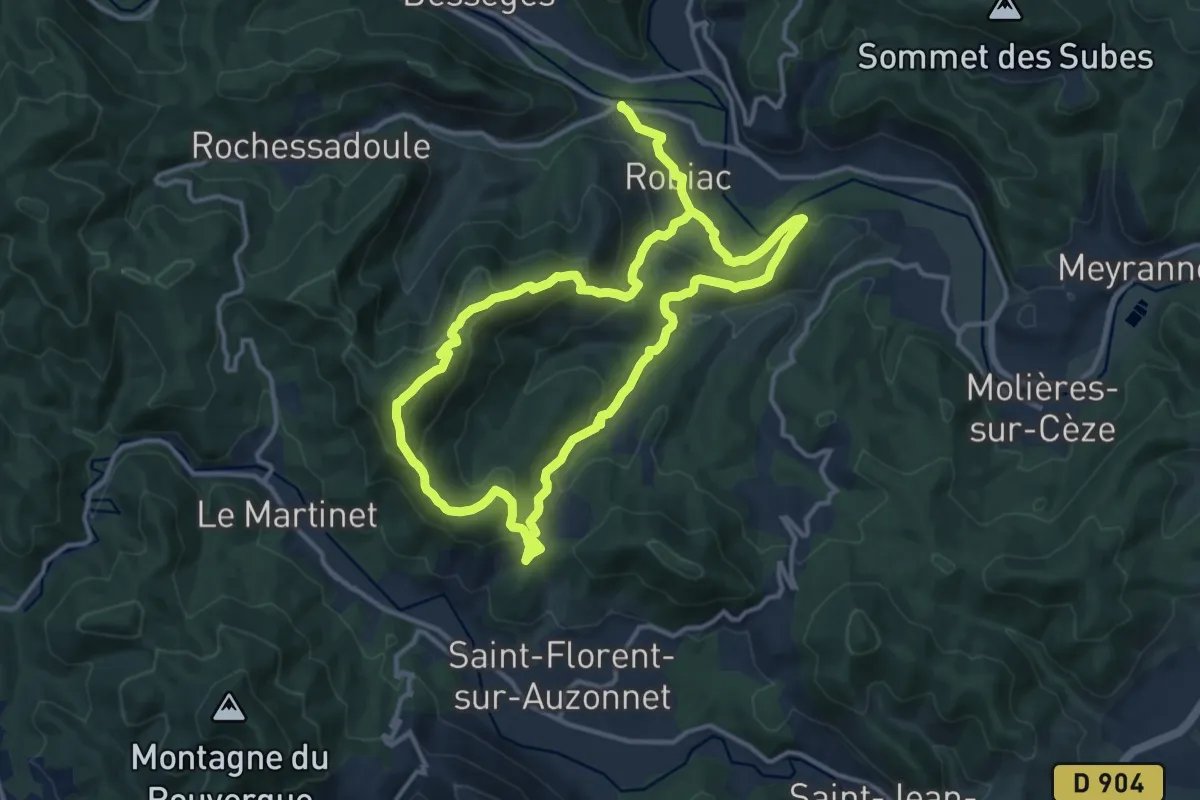
Medium · Trail
La chapelle Lachamp
12.2 km · ↑ 530 m · 4 h 13 min · 10 km away
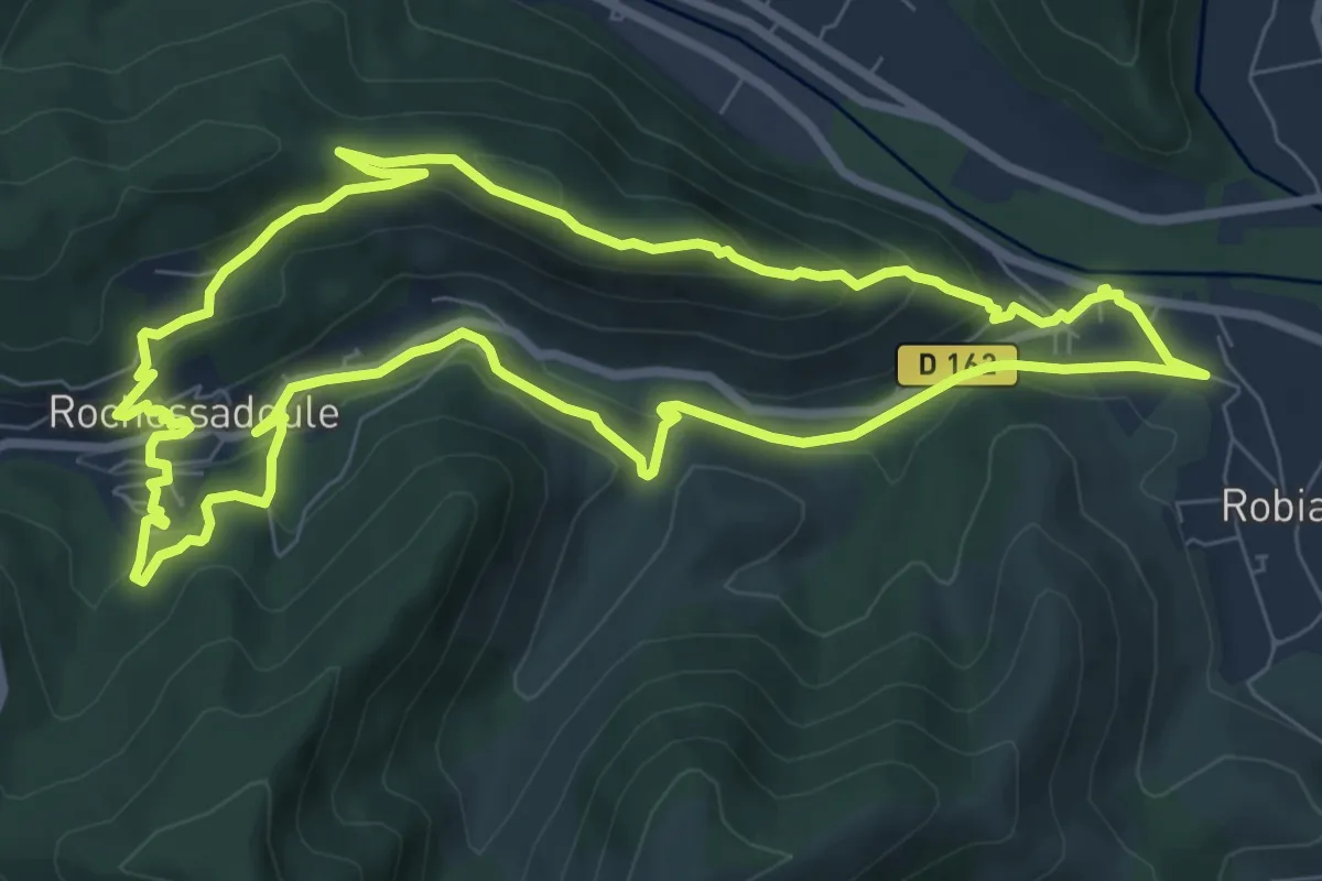
Medium · Trail
La mine au bois dormant
8.9 km · ↑ 369 m · 3 h 1 min · 11 km away
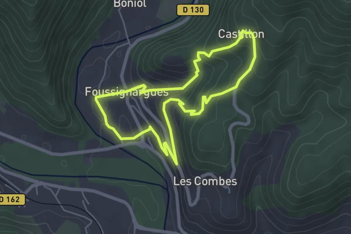
Easy · Trail
La tour de Castillon
4.1 km · ↑ 214 m · 1 h 29 min · 11 km away
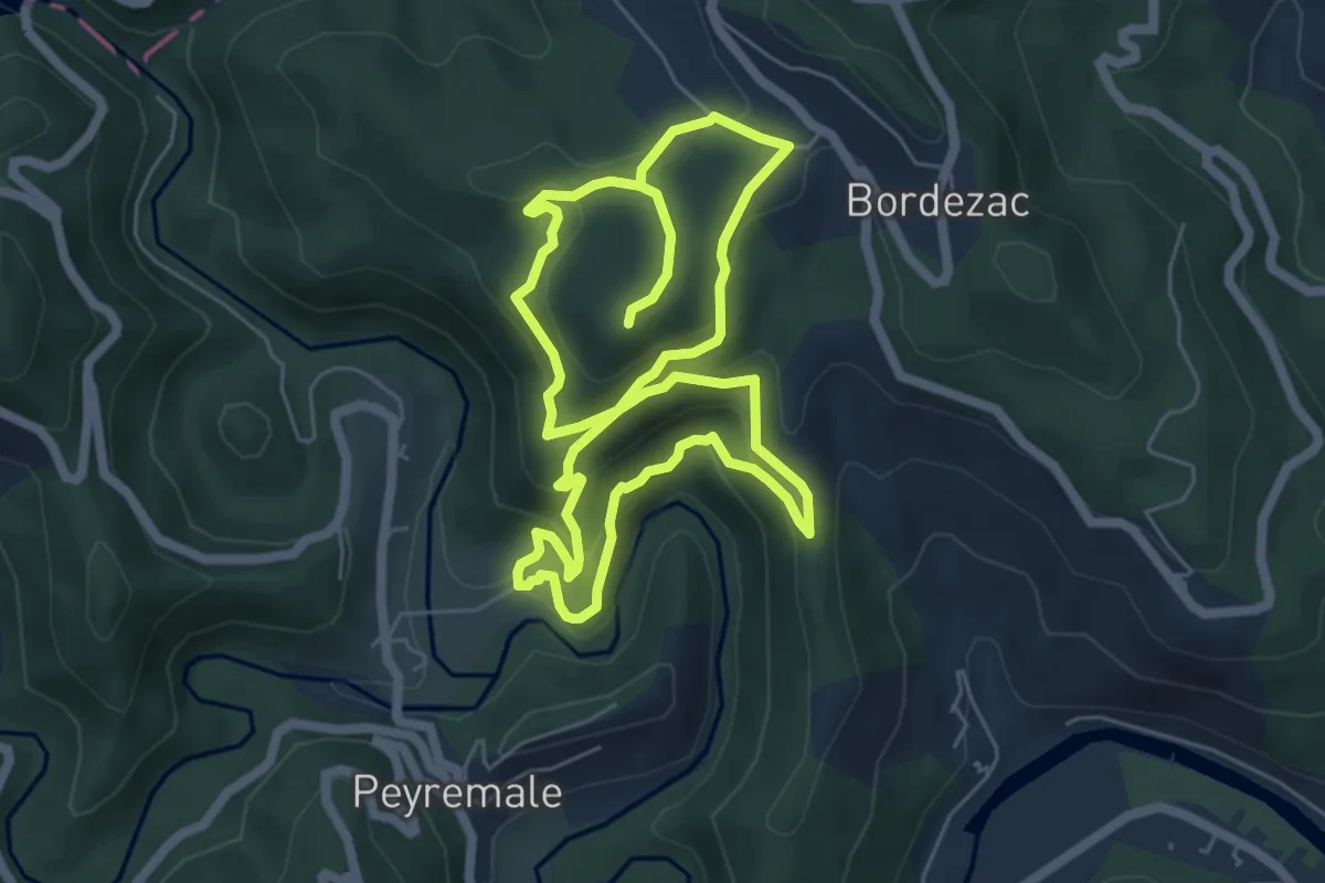
Easy · Trail
Le Chambonnet
6.0 km · ↑ 310 m · 2 h 12 min · 12 km away
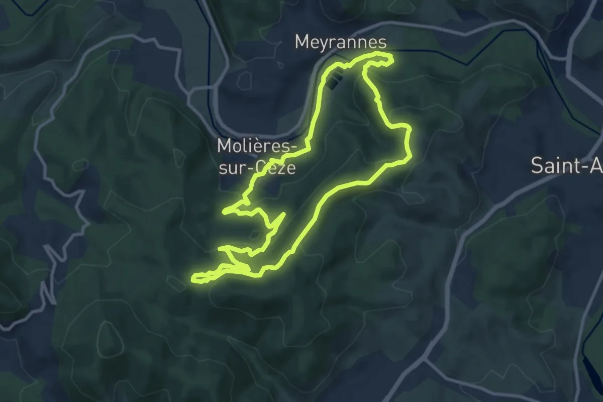
Medium · Trail
Château de Montalet
9.4 km · ↑ 381 m · 3 h 11 min · 12 km away
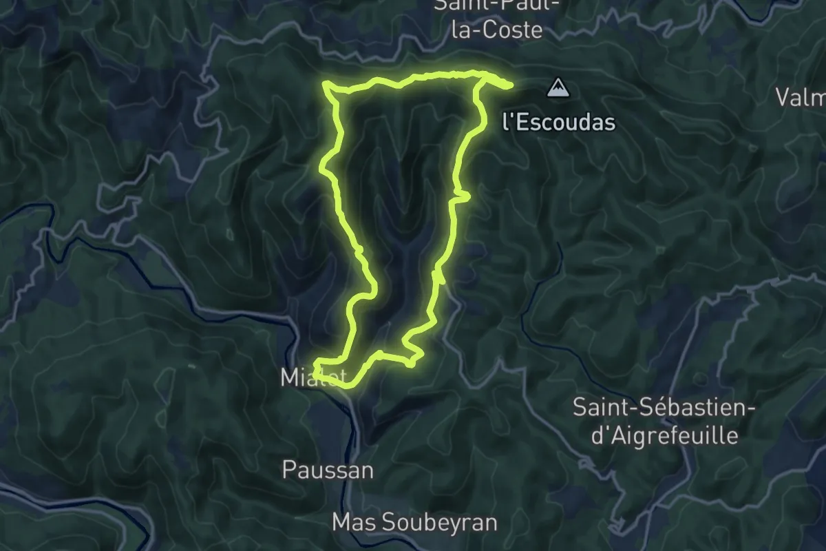
Medium · Trail
Sentier de Roquefeuil
13.0 km · ↑ 672 m · 4 h 42 min · 13 km away
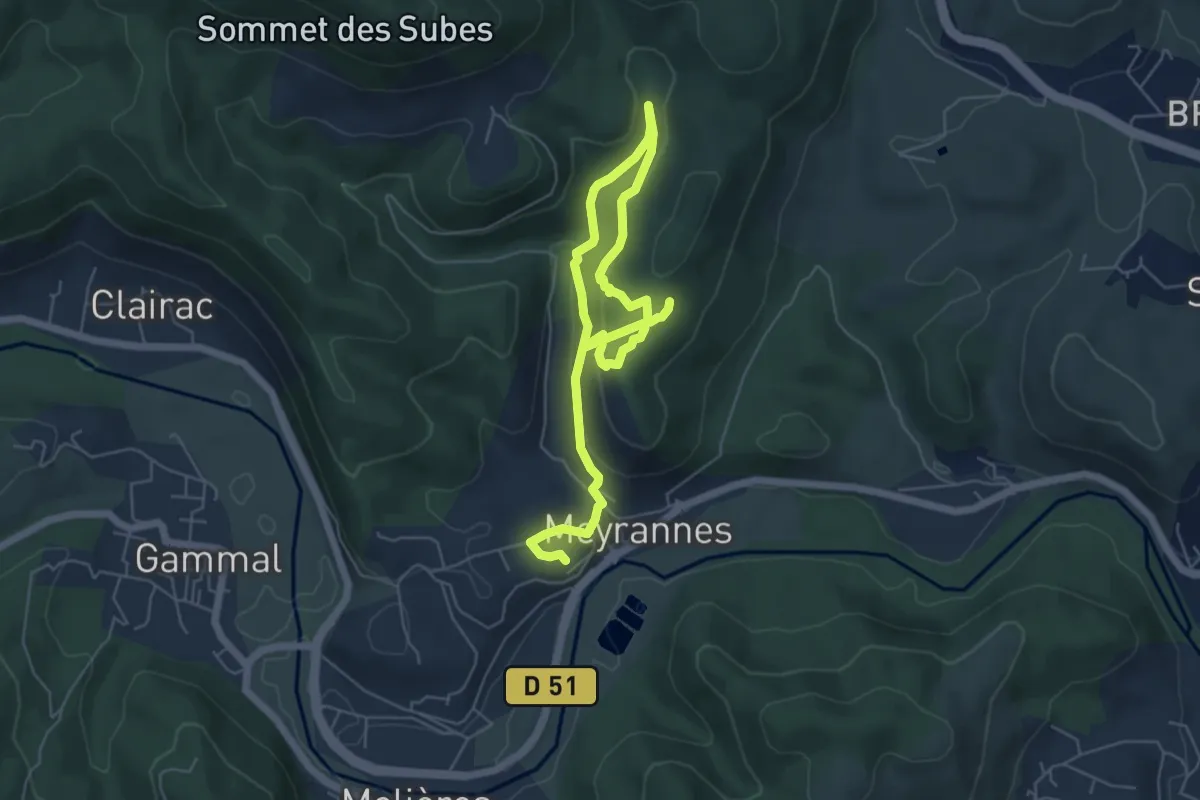
Easy · Trail
Le Montgrillet
4.1 km · ↑ 232 m · 1 h 29 min · 13 km away
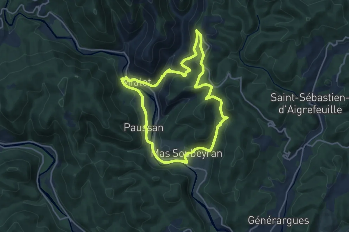
Medium · Trail
Les Puechs
11.5 km · ↑ 376 m · 3 h 41 min · 13 km away
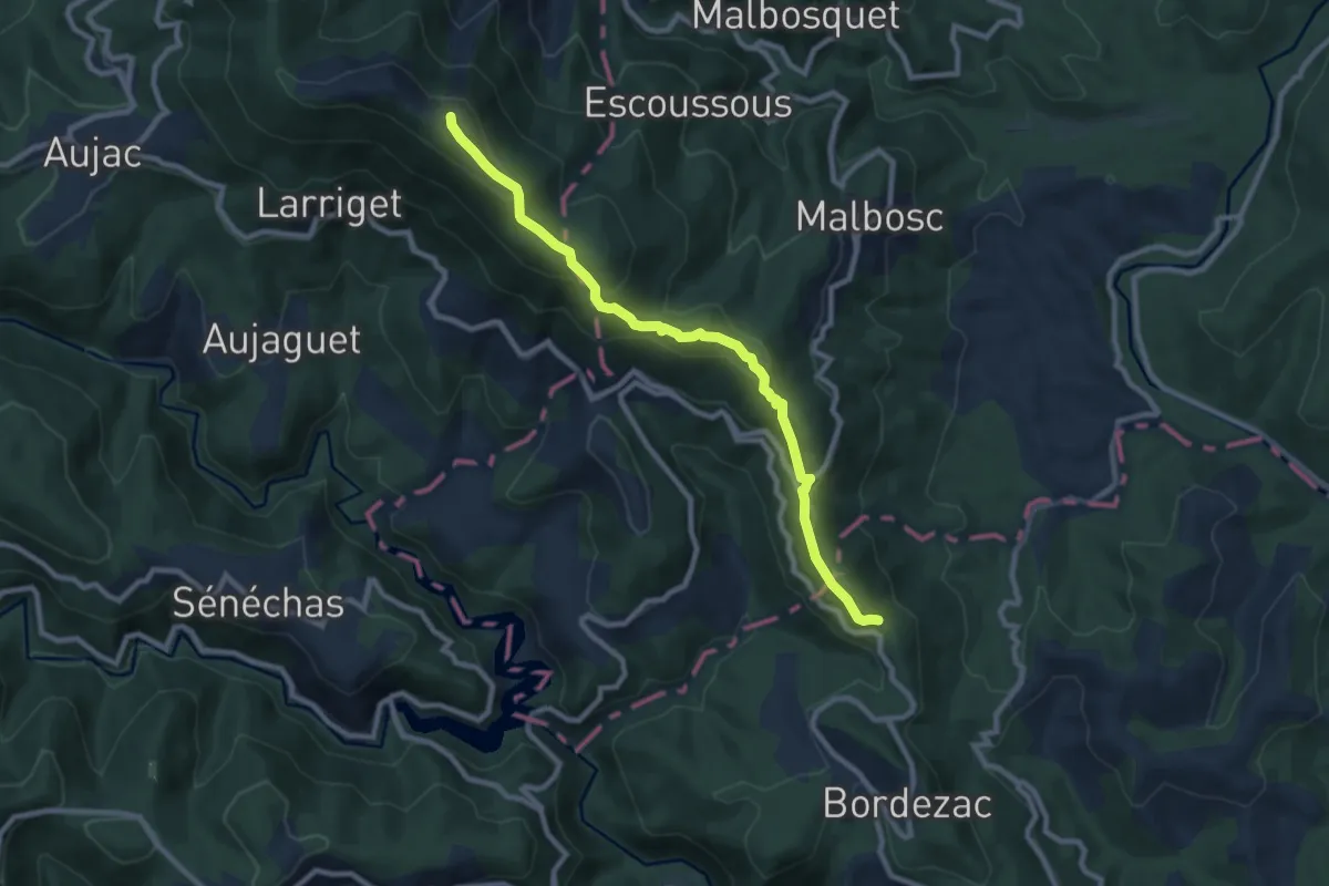
Medium · Trail
Bordezac – Malons-et-Elze
9.3 km · ↑ 458 m · 3 h 11 min · 13 km away
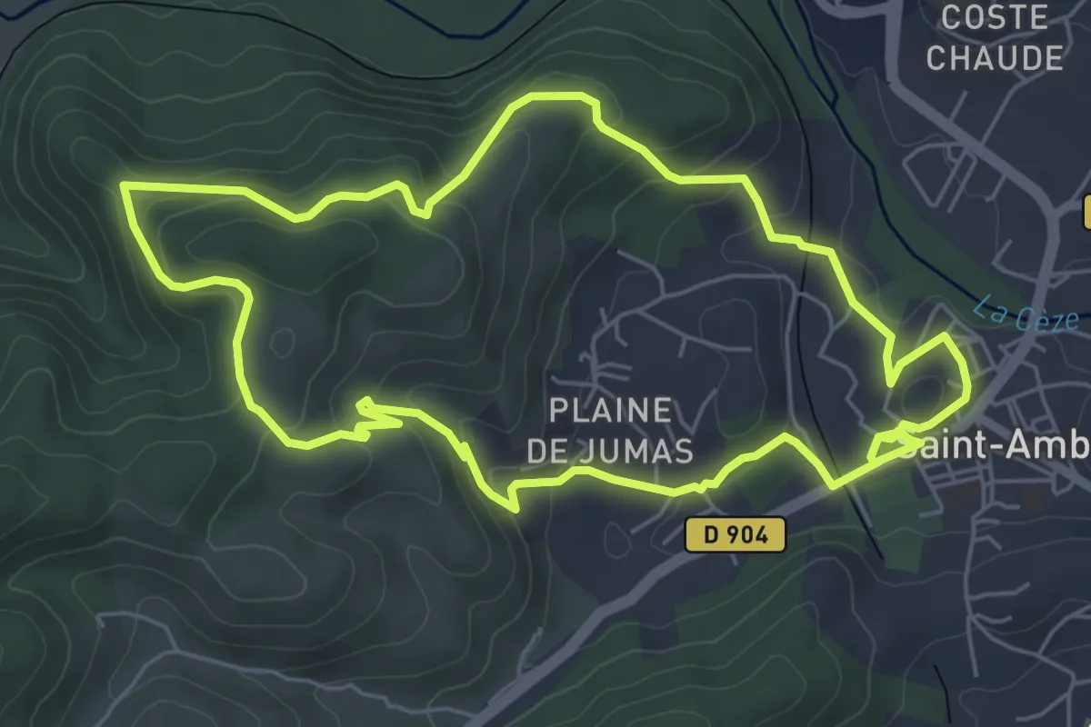
Easy · Trail
Les Montèzes
6.2 km · ↑ 249 m · 2 h 5 min · 14 km away
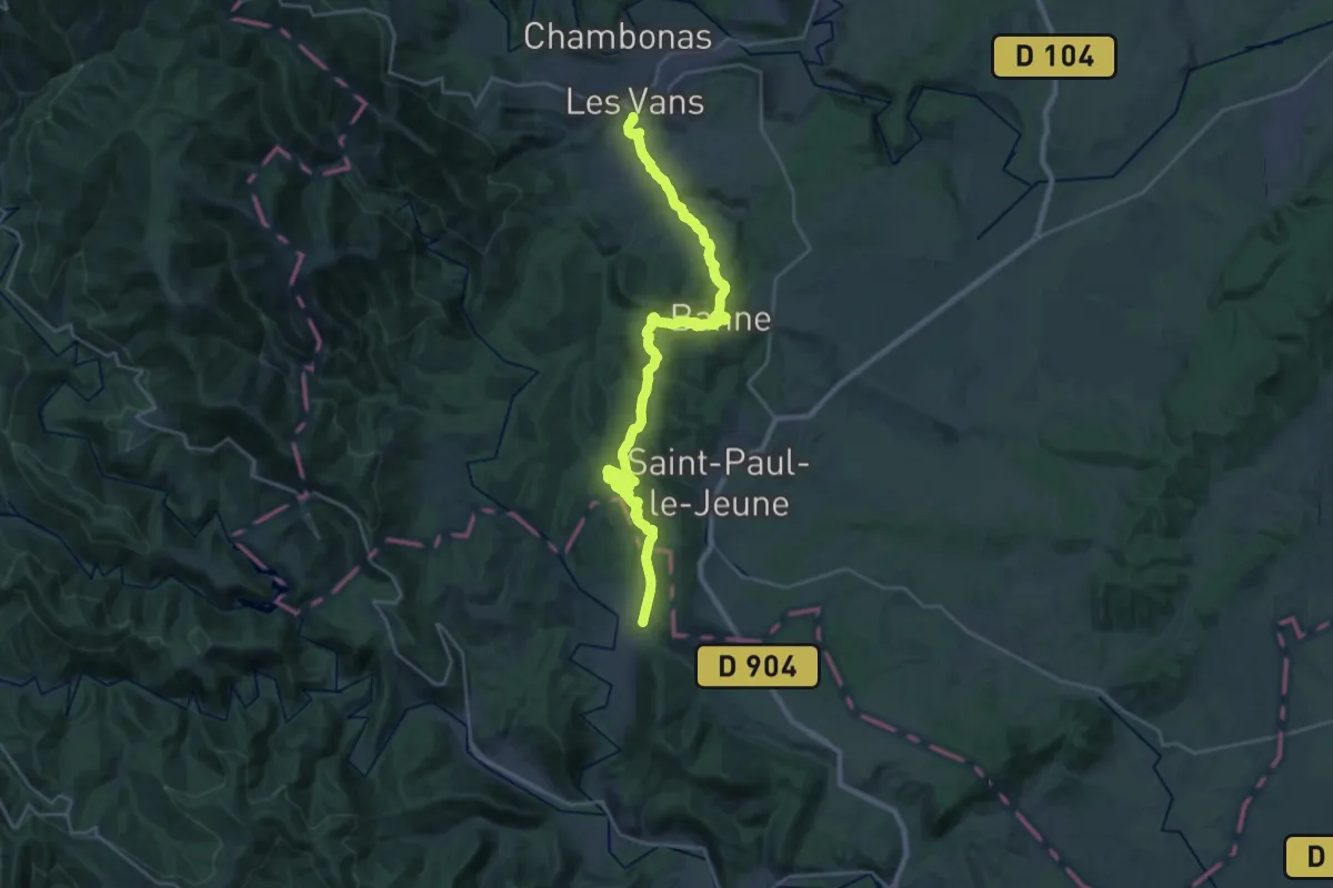
Medium · Trail
Des Vans à Mialet
15.2 km · ↑ 421 m · 4 h 43 min · 14 km away
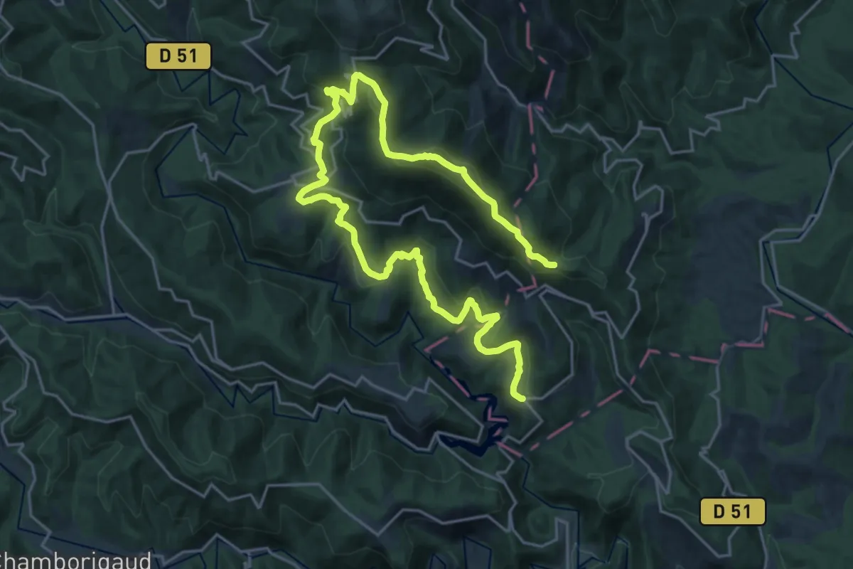
Medium · Trail
Les crêtes d'Aujac
14.0 km · ↑ 436 m · 4 h 34 min · 15 km away
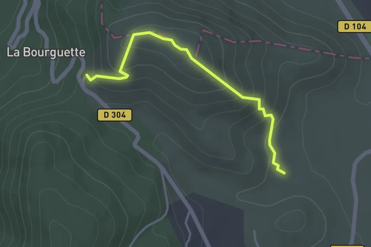
Easy · Trail
Les dolmens de l’Ismaël
1.6 km · ↑ 140 m · 41 min · 15 km away
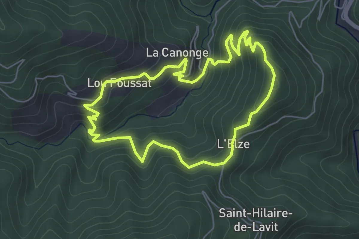
Easy · Trail
Le Gardonnet
4.9 km · ↑ 279 m · 1 h 50 min · 15 km away
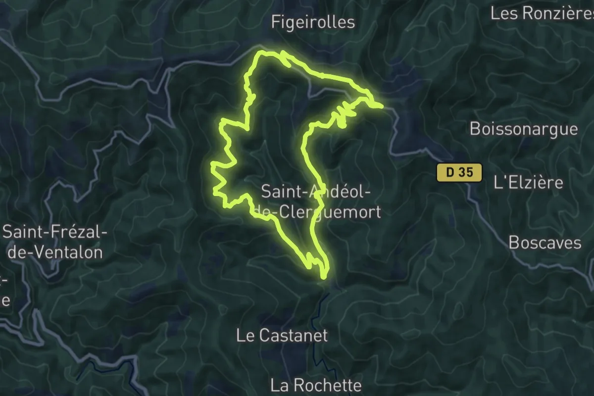
Demanding · Trail
Tras Lou Serre
15.0 km · ↑ 842 m · 5 h 35 min · 15 km away