Trails near La Roche-sur-Foron
33 hikes starting within 15 km, nearest first.
Nearest first
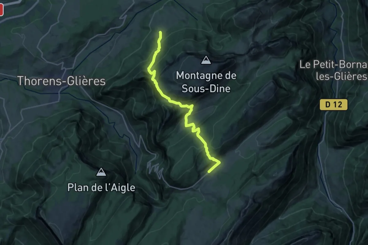
Demanding · Trail
Sentier du Dernier Assault
17.6 km · ↑ 1192 m · 6 h 44 min · 6 km away
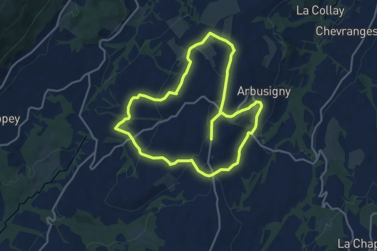
Medium · Trail
Sentier du Four
8.4 km · ↑ 224 m · 2 h 34 min · 8 km away
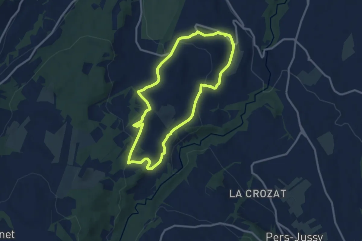
Easy · Trail
Boucle sur la colline
6.6 km · ↑ 175 m · 2 h 2 min · 8 km away
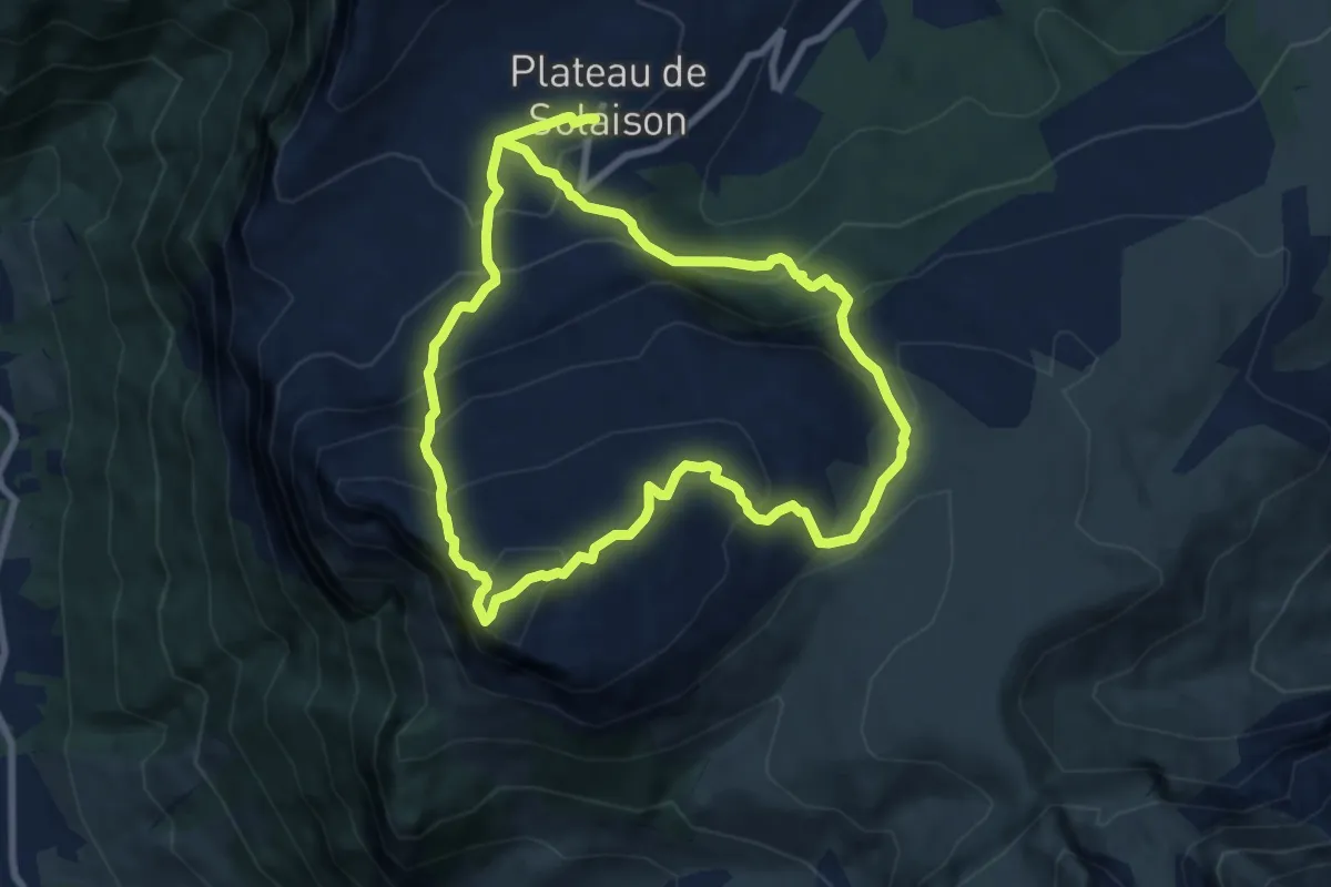
Expert · Summit
La Boucle des Rochers de Leschaux
8.0 km · ↑ 570 m · 3 h 13 min · 10 km away
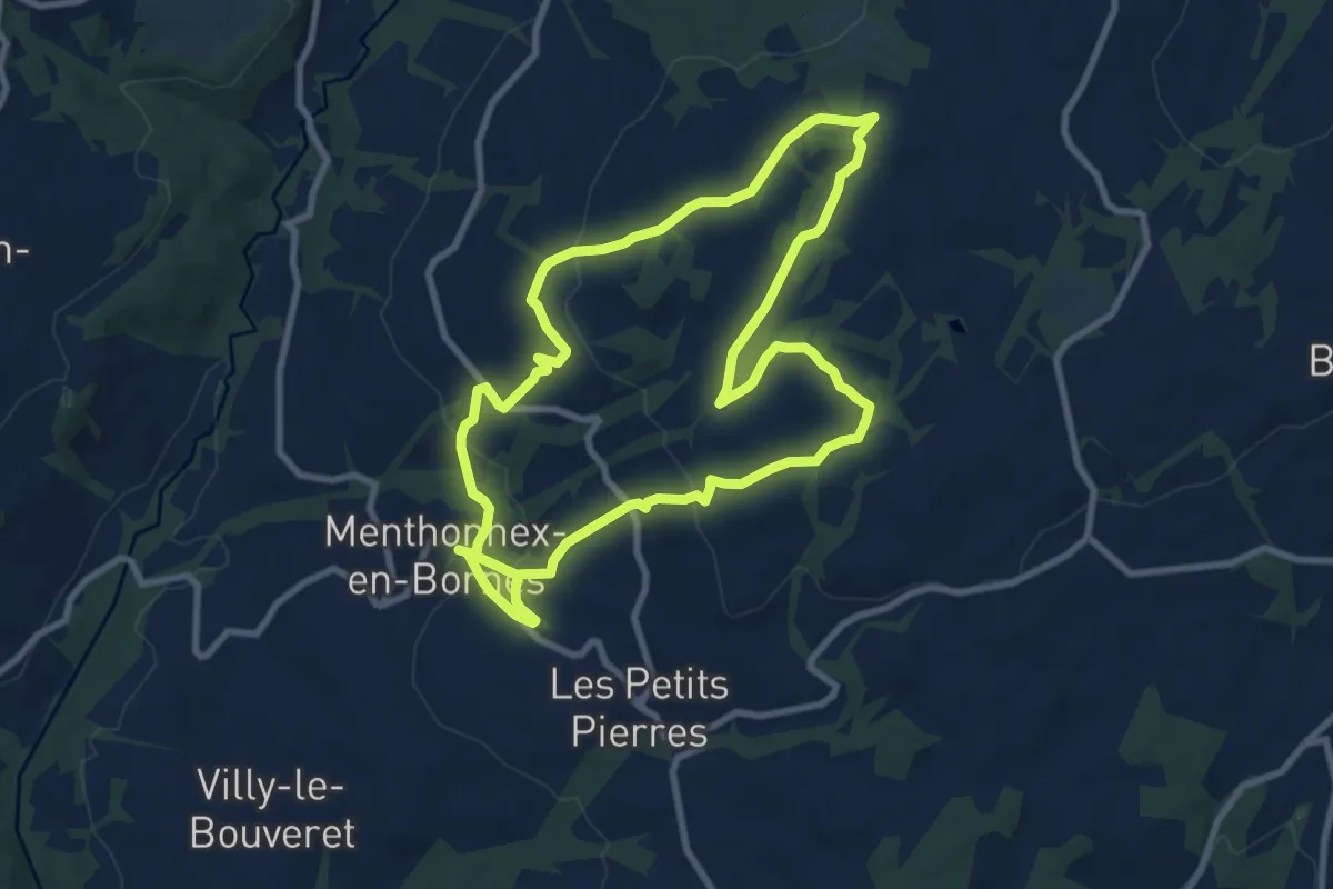
Demanding · Trail
A la découverte du Plateau des Bornes
18.0 km · ↑ 413 m · 5 h 9 min · 11 km away
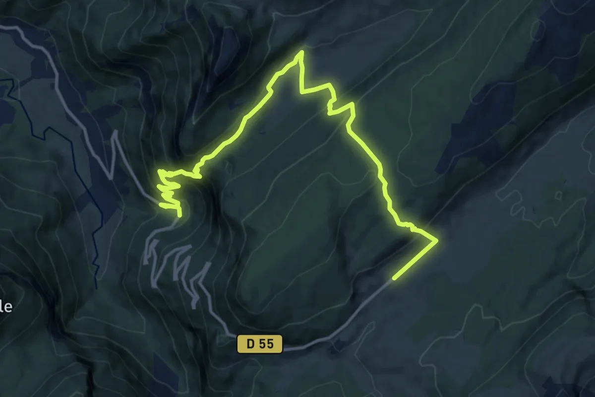
Demanding · Trail
Sentier des Espagnols
14.9 km · ↑ 981 m · 5 h 38 min · 11 km away
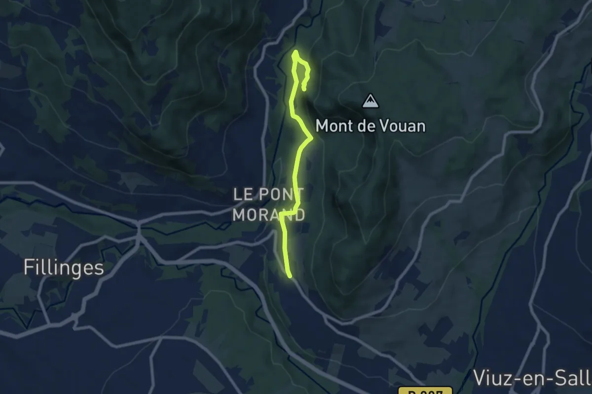
Medium · Trail
Boucle du Mont Vouan
6.5 km · ↑ 214 m · 2 h · 11 km away
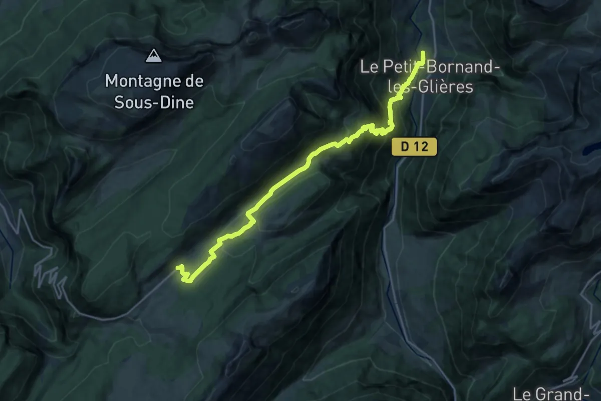
Medium · Trail
Sentier des Patriotes
9.0 km · ↑ 128 m · 2 h 54 min · 11 km away
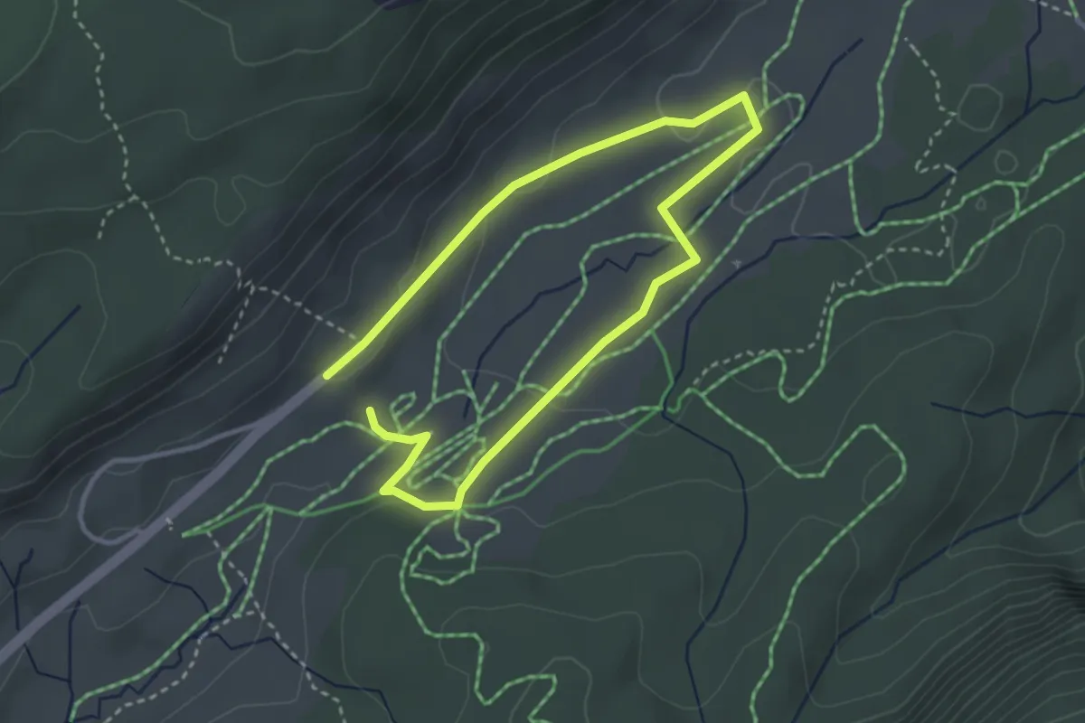
Easy · Trail
Itinéraire de découverte historique
2.6 km · ↑ 41 m · 44 min · 11 km away
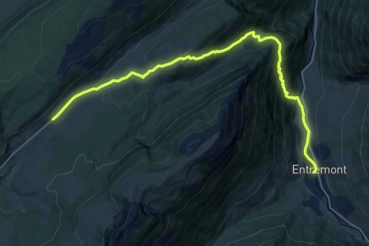
Demanding · Trail
Sentier de l'Attaque
14.2 km · ↑ 880 m · 5 h 15 min · 11 km away
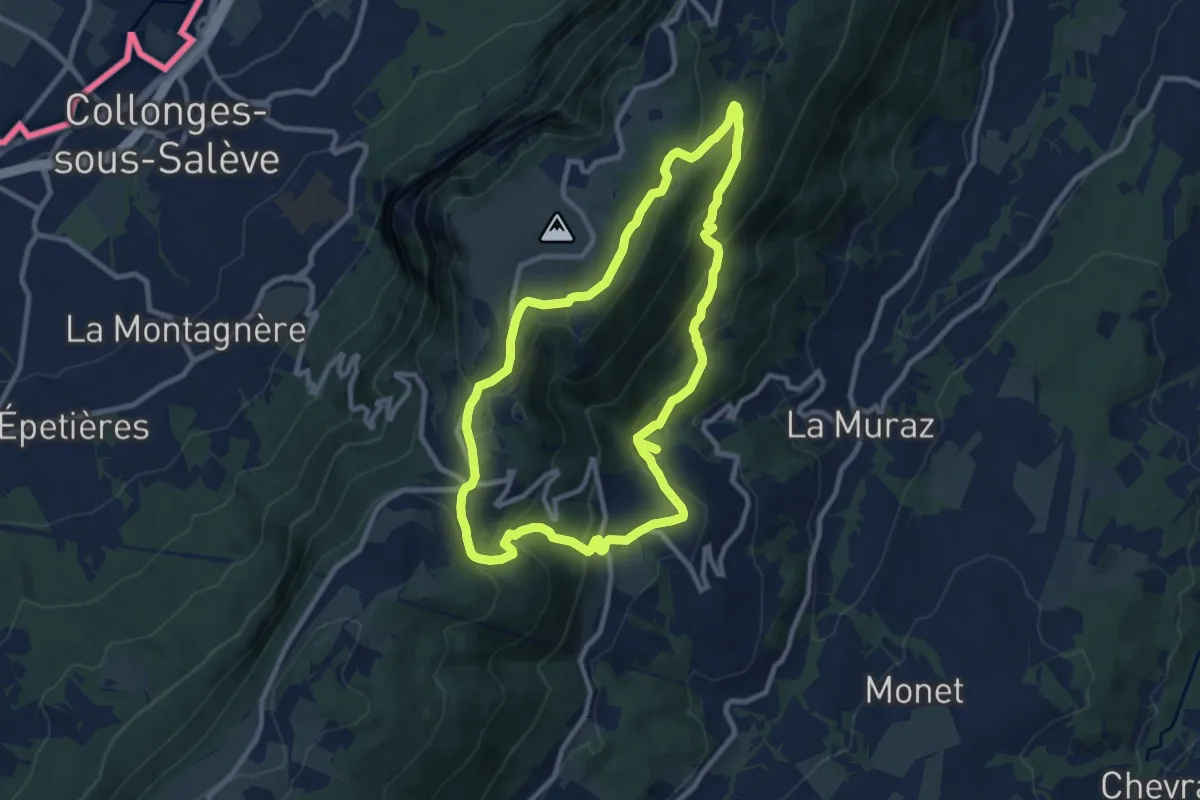
Medium · Trail
Sentier de la Joie
9.5 km · ↑ 440 m · 3 h 20 min · 11 km away
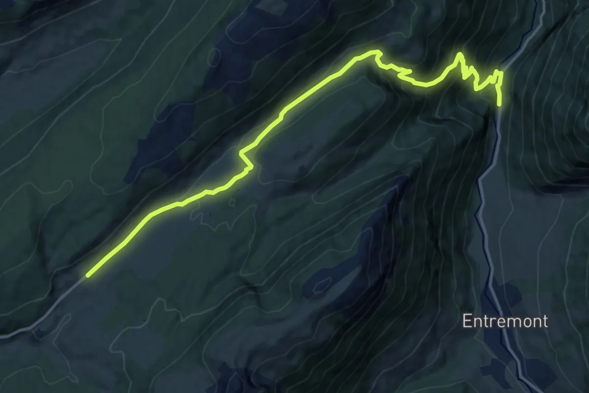
Medium · Trail
Sentier Tom Morel
15.4 km · ↑ 761 m · 5 h 17 min · 12 km away
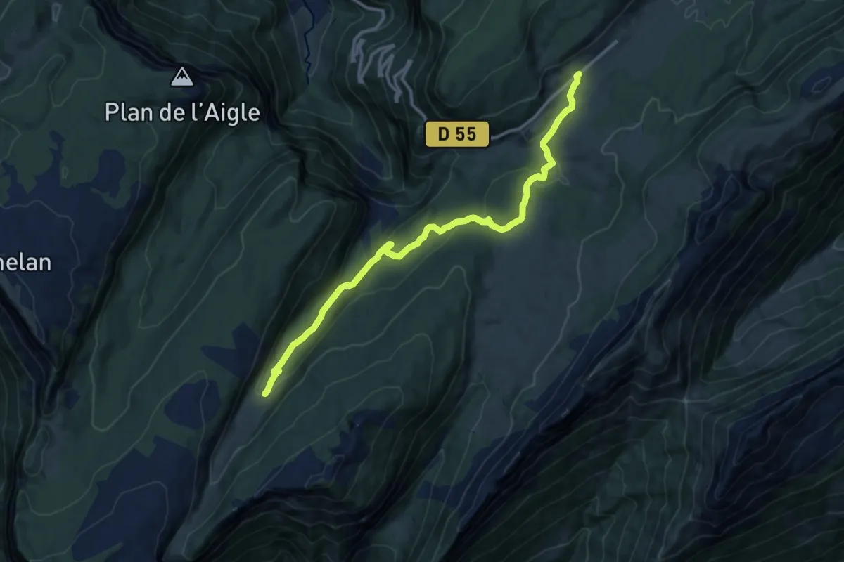
Medium · Trail
Combe d'Ablon
12.5 km · ↑ 435 m · 3 h 53 min · 12 km away
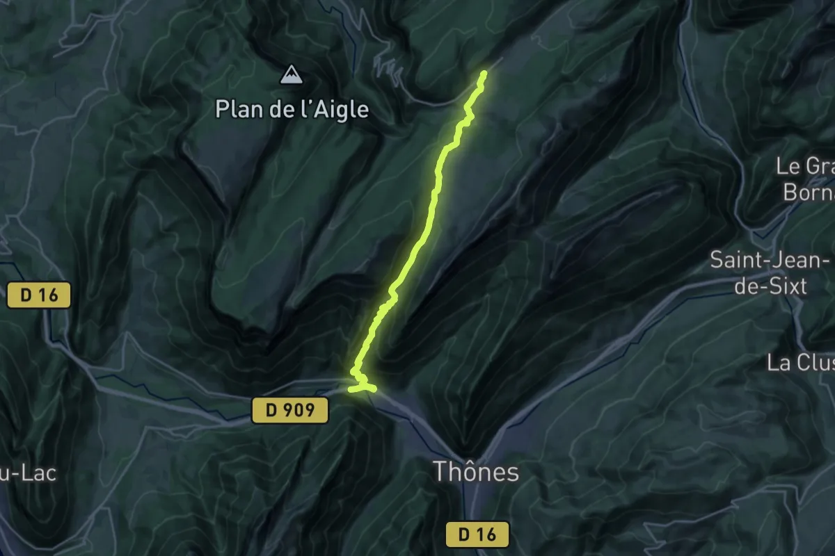
Demanding · Trail
Sentier de l'Ultimatum
19.9 km · ↑ 1064 m · 7 h · 12 km away
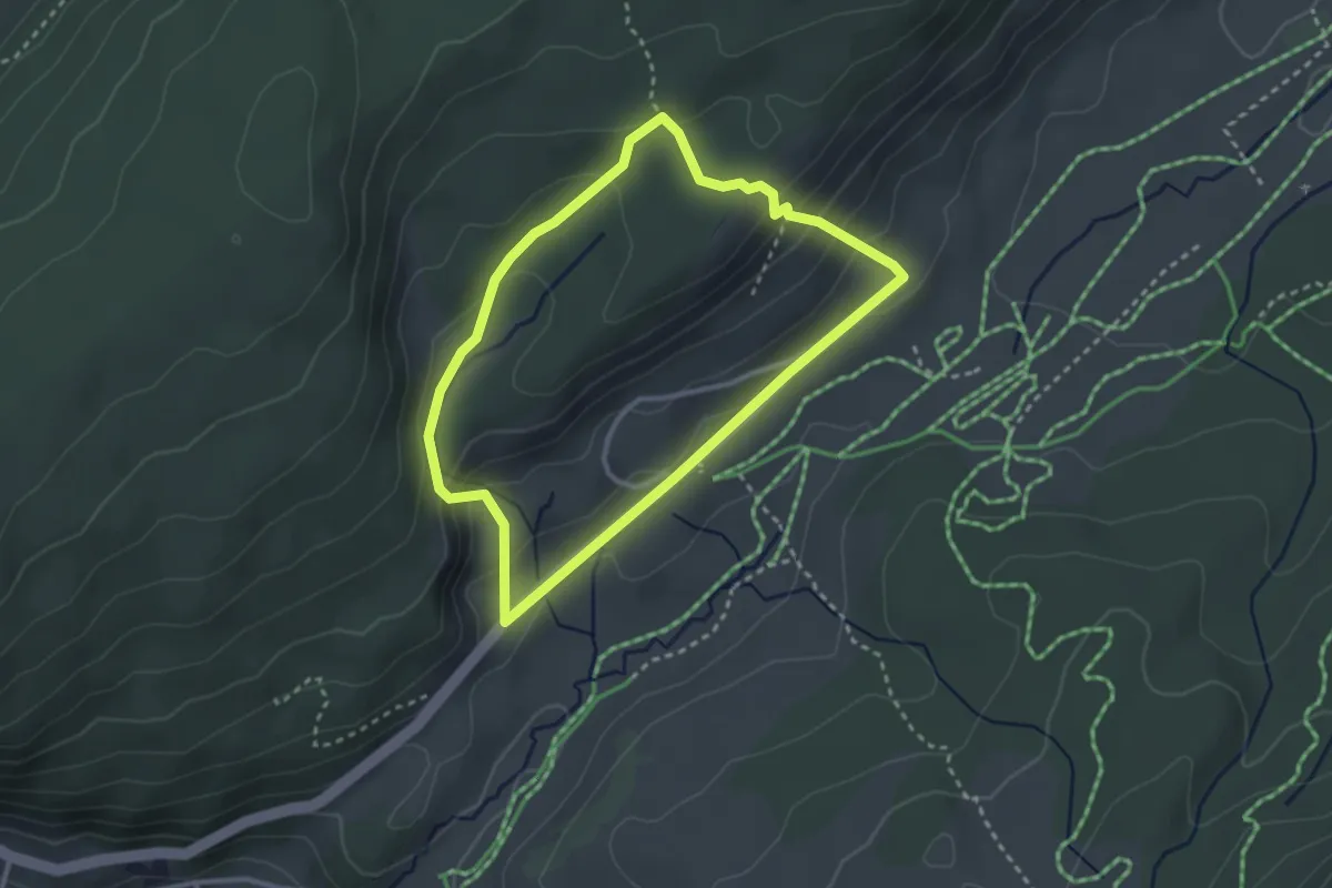
Medium · Trail
Circuit de la Commanderie
2.8 km · ↑ 126 m · 58 min · 12 km away
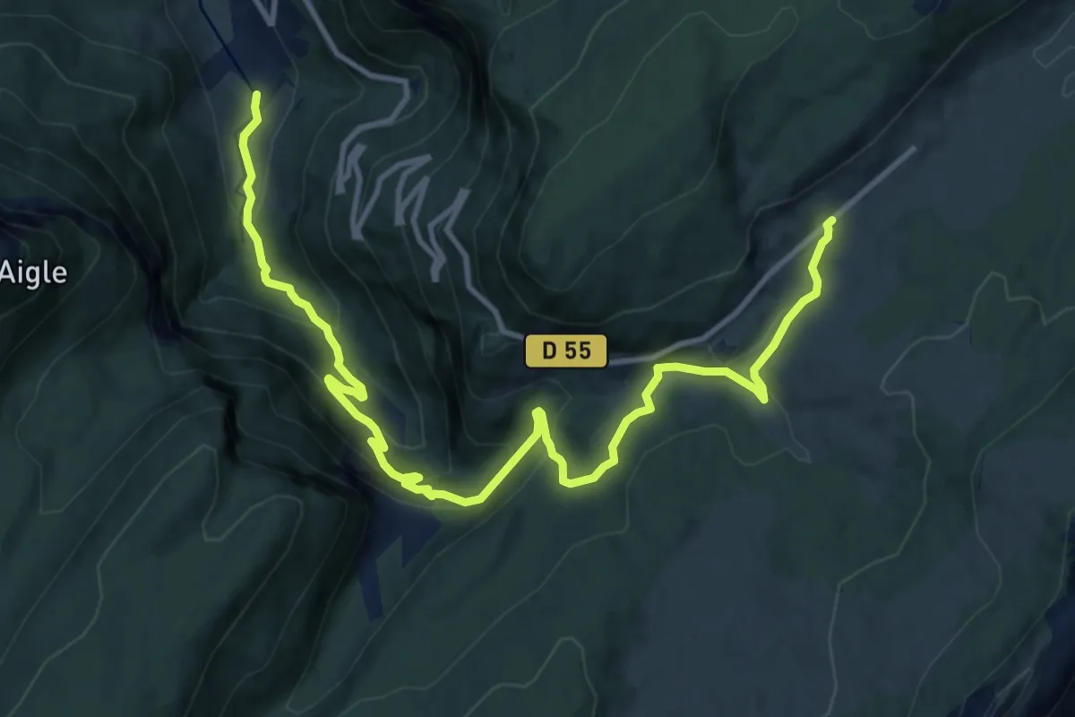
Demanding · Trail
Sentier de l'Escarmouche
13.9 km · ↑ 810 m · 5 h 2 min · 12 km away
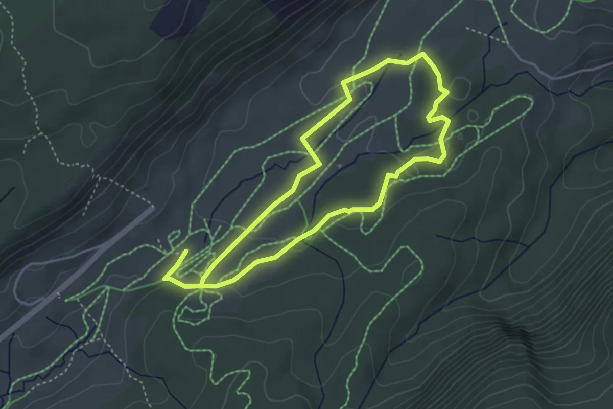
Easy · Trail
Itinéraire découverte de la nature
3.5 km · ↑ 51 m · 59 min · 12 km away
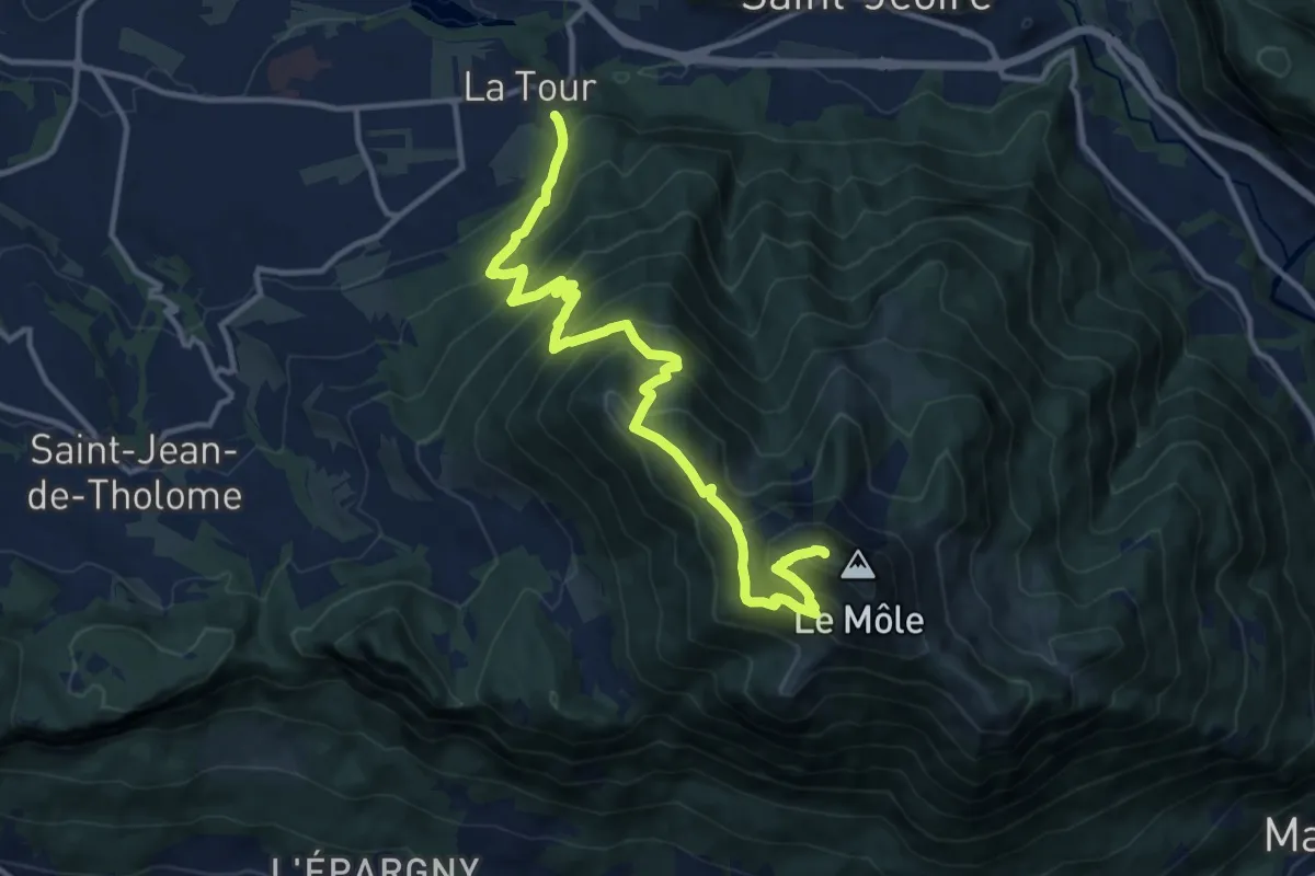
Demanding · Summit
Le Môle depuis La Tour
14.1 km · ↑ 1437 m · 6 h 27 min · 12 km away
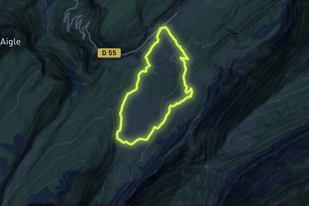
Medium · Trail
Plaine de Dran
8.9 km · ↑ 285 m · 2 h 50 min · 12 km away
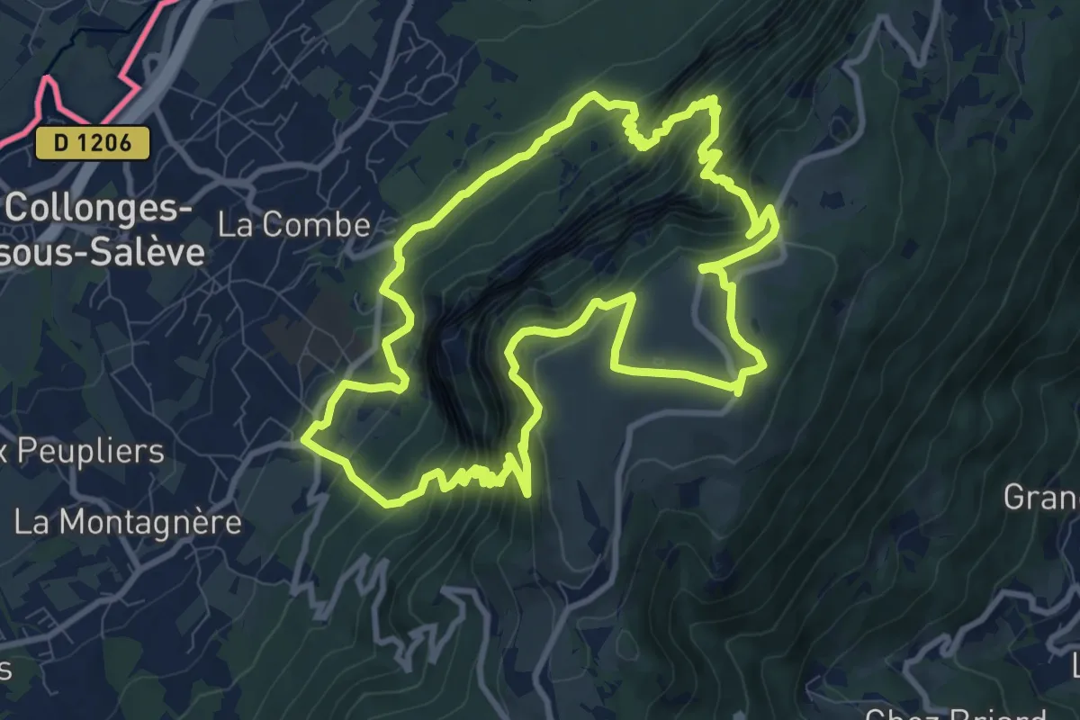
Expert · Trail
Sentier géologique de la grotte d'Orjobet
10.3 km · ↑ 881 m · 4 h 30 min · 13 km away
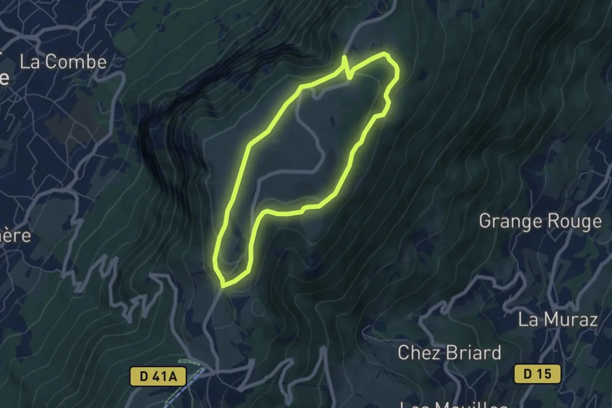
Easy · Trail
Balcon des Crêts
5.3 km · ↑ 132 m · 1 h 37 min · 13 km away
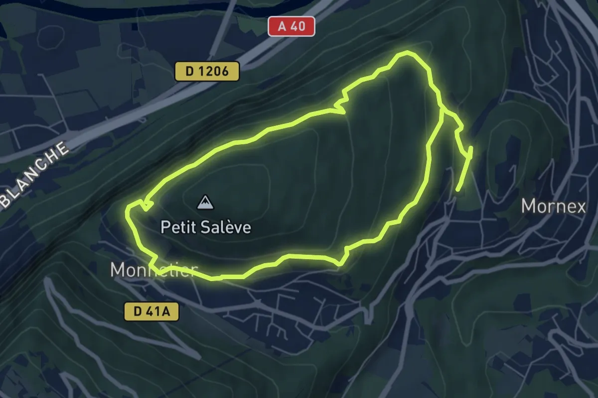
Medium · Trail
Pierre-Vieille
12.2 km · ↑ 544 m · 4 h 4 min · 13 km away
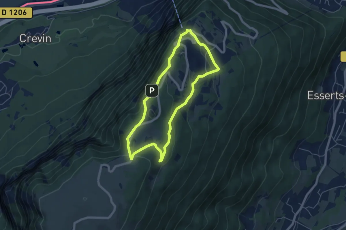
Easy · Trail
Balcon du Téléphérique
4.6 km · ↑ 207 m · 1 h 36 min · 13 km away
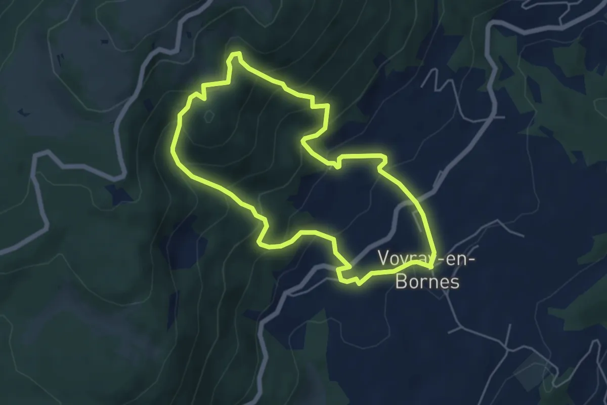
Medium · Trail
Entre alpages et forêts
4.6 km · ↑ 354 m · 1 h 55 min · 13 km away
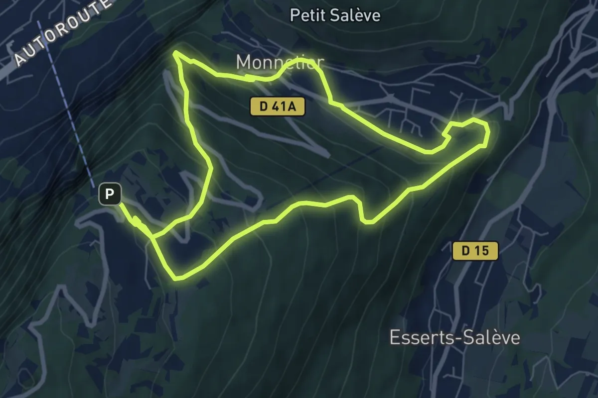
Demanding · Trail
Chemin du Funiculaire
13.0 km · ↑ 931 m · 5 h 5 min · 13 km away
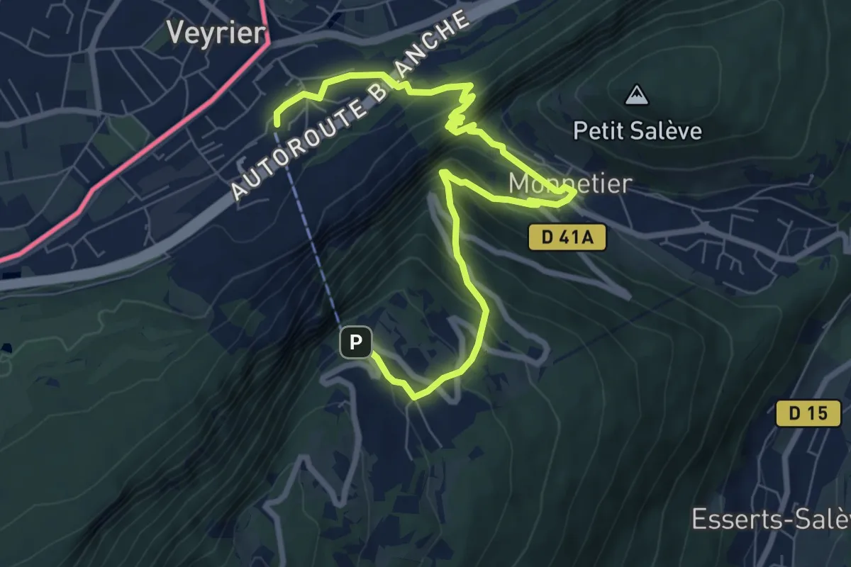
Medium · Trail
Le Pas de l'Echelle
9.2 km · ↑ 763 m · 3 h 49 min · 13 km away
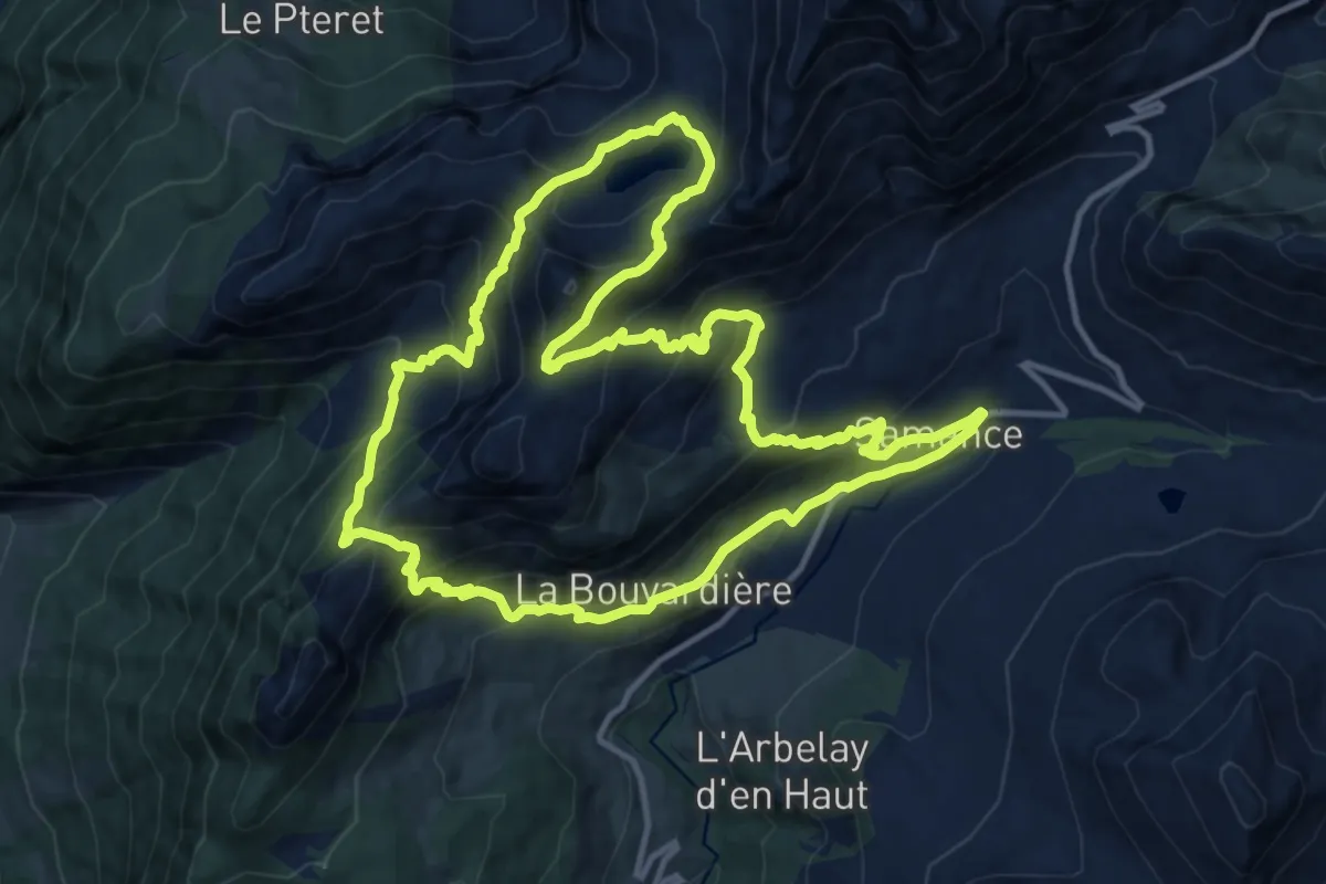
Demanding · Trail
Tour du Roc des Tours et Lac de Lessy
13.4 km · ↑ 998 m · 5 h 30 min · 13 km away
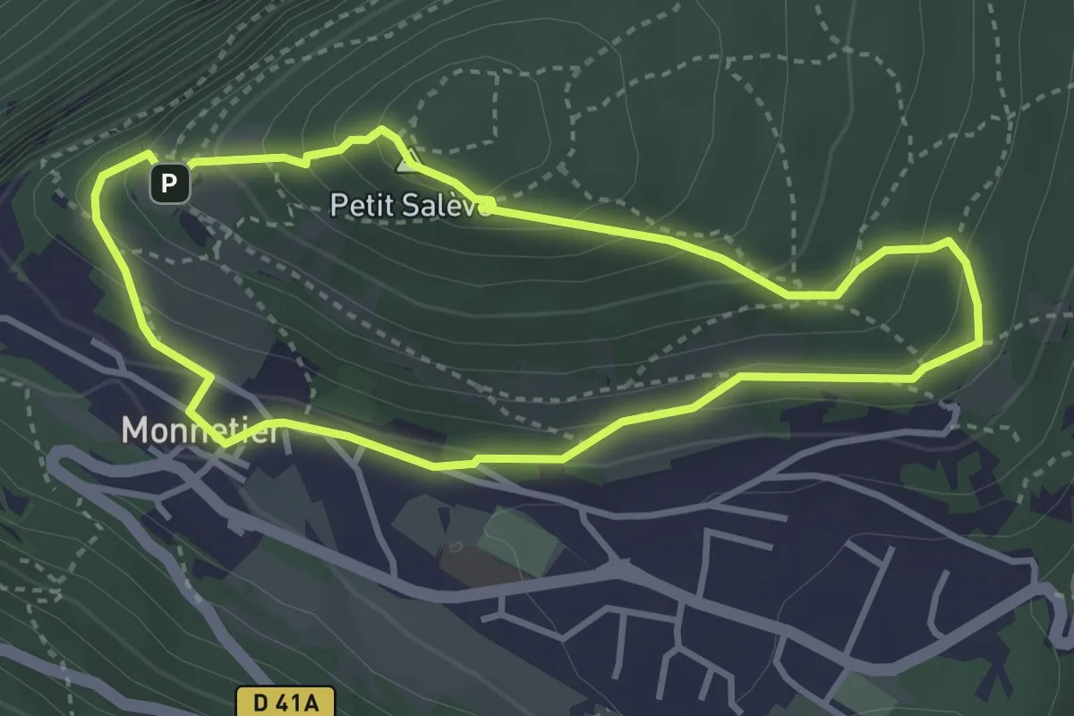
Easy · Summit
Balcon des Allobroges
3.2 km · ↑ 206 m · 1 h 15 min · 14 km away
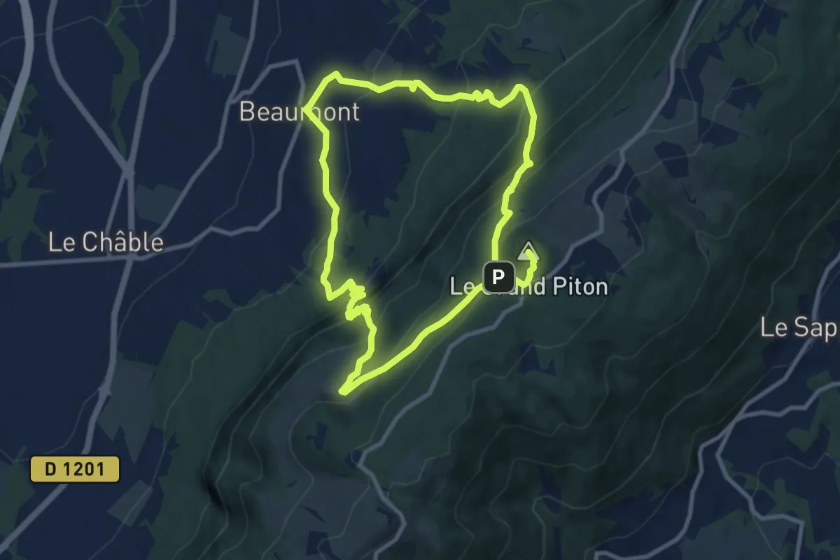
Demanding · Summit
Le Grand Piton, point culminant du Salève
16.9 km · ↑ 1256 m · 6 h 43 min · 14 km away
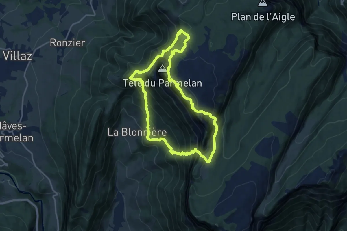
Demanding · Trail
Boucle du Parmelan
11.1 km · ↑ 1094 m · 5 h 9 min · 14 km away
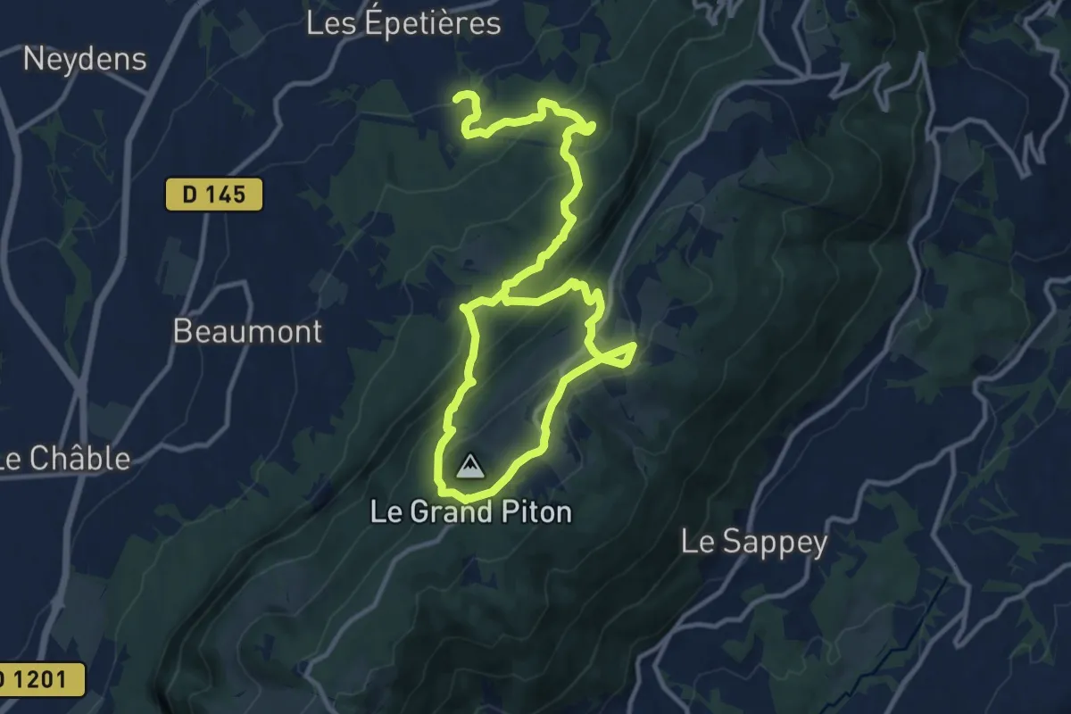
Demanding · Trail
Les Pitons par l'alpage de Chavanne
18.1 km · ↑ 1203 m · 6 h 53 min · 15 km away
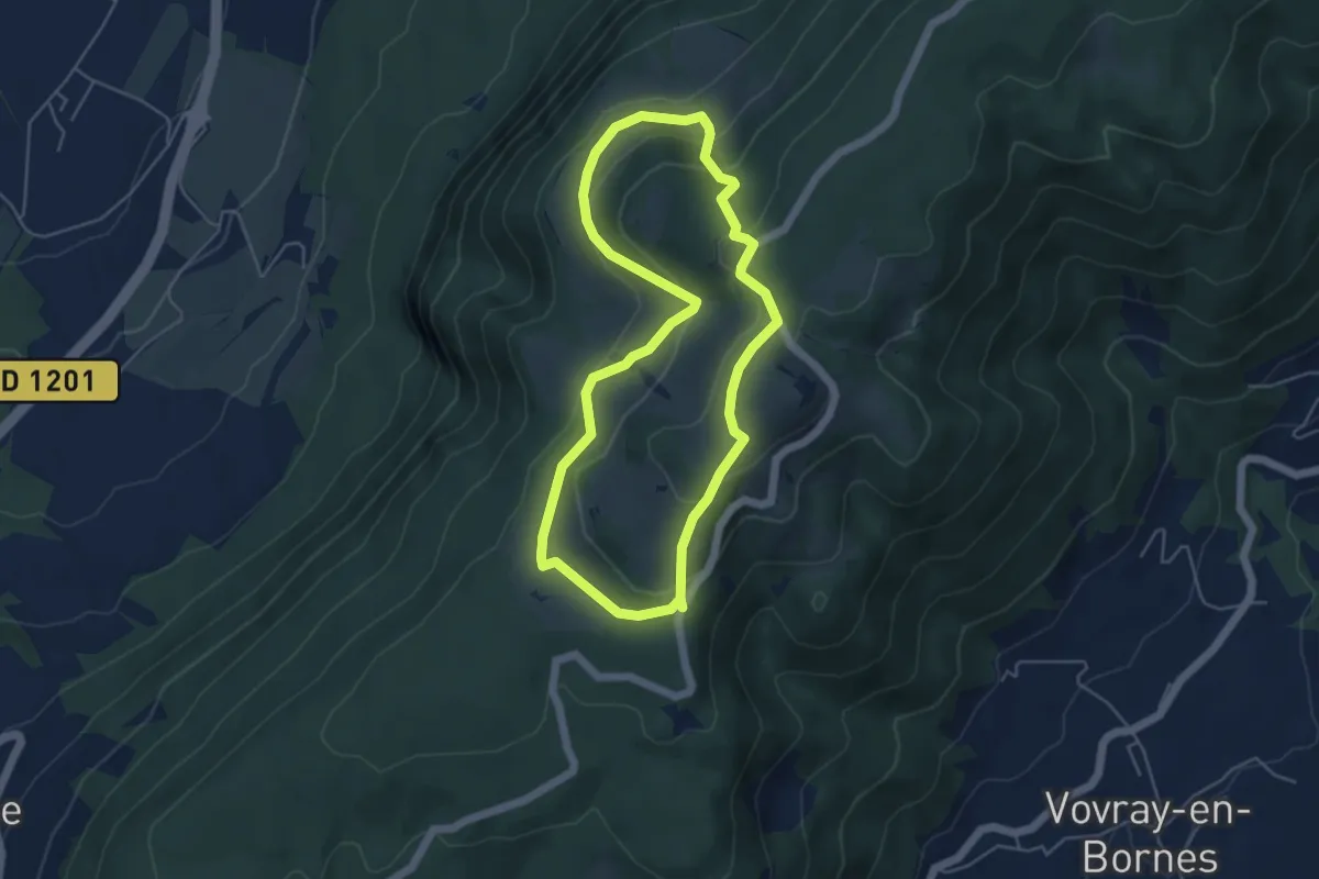
Easy · Trail
Découverte panoramique de l'alpage du Plan
4.7 km · ↑ 226 m · 1 h 40 min · 15 km away
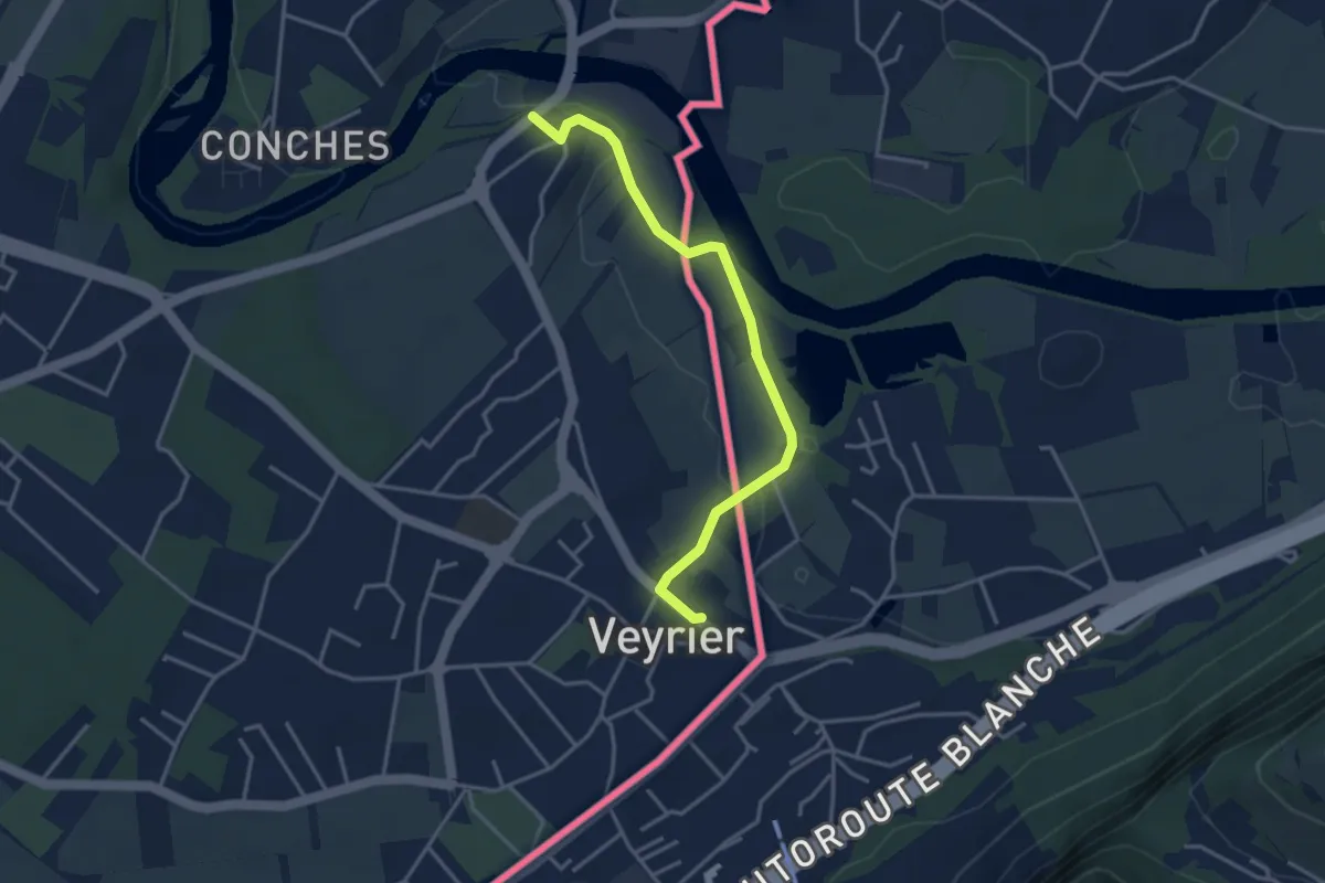
Easy · Trail
Sierne Veyrier - Veyrier
3.7 km · ↑ 39 m · 58 min · 15 km away