Trails near Lalinde
31 hikes starting within 15 km, nearest first.
Nearest first
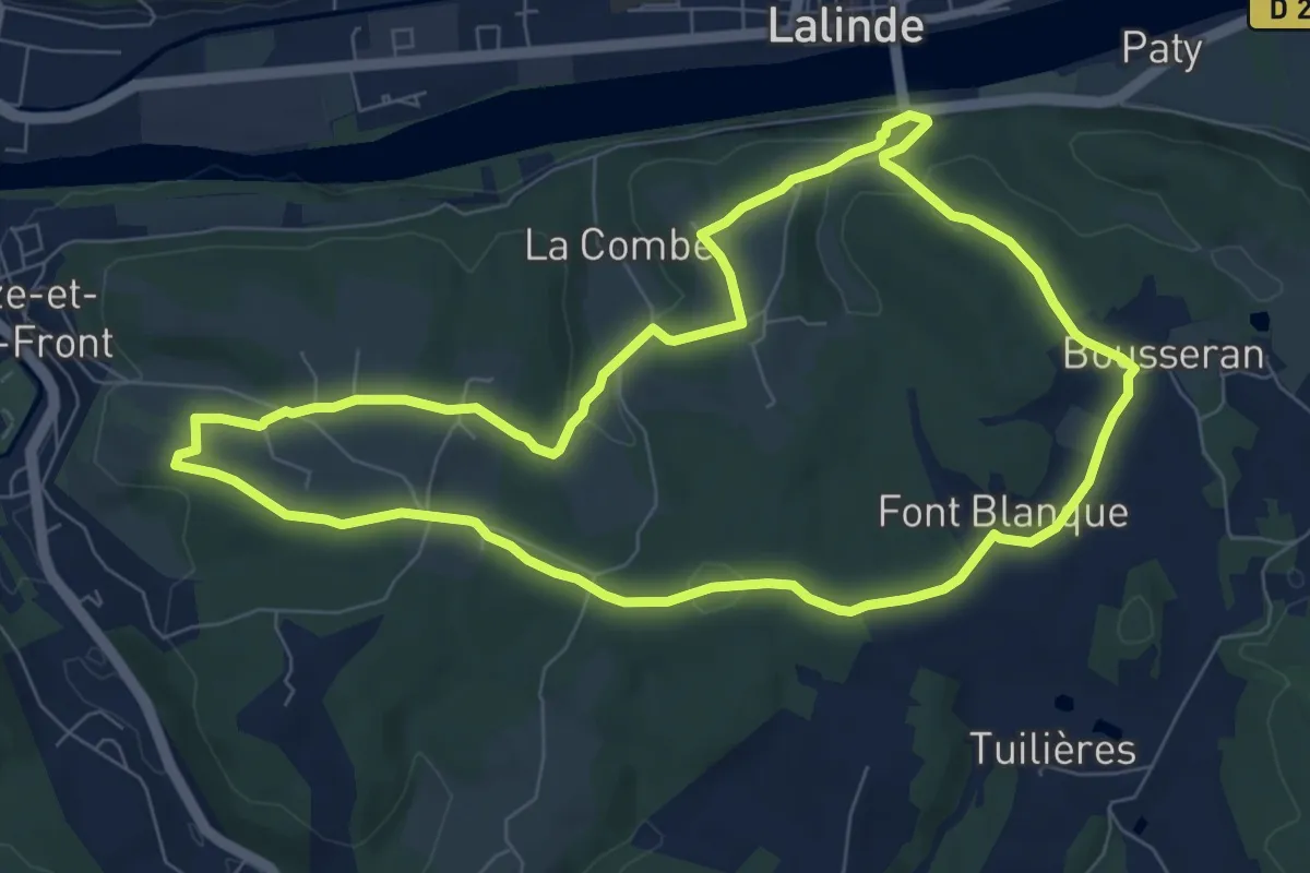
Medium · Trail
Boucle de Saint-Front
8.1 km · ↑ 163 m · 2 h 23 min · 2 km away
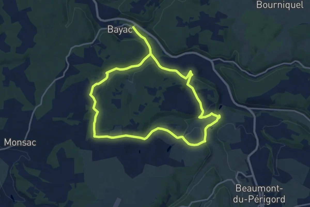
Demanding · Trail
Boucle du rocher du corbeau
21.0 km · ↑ 433 m · 5 h 54 min · 4 km away
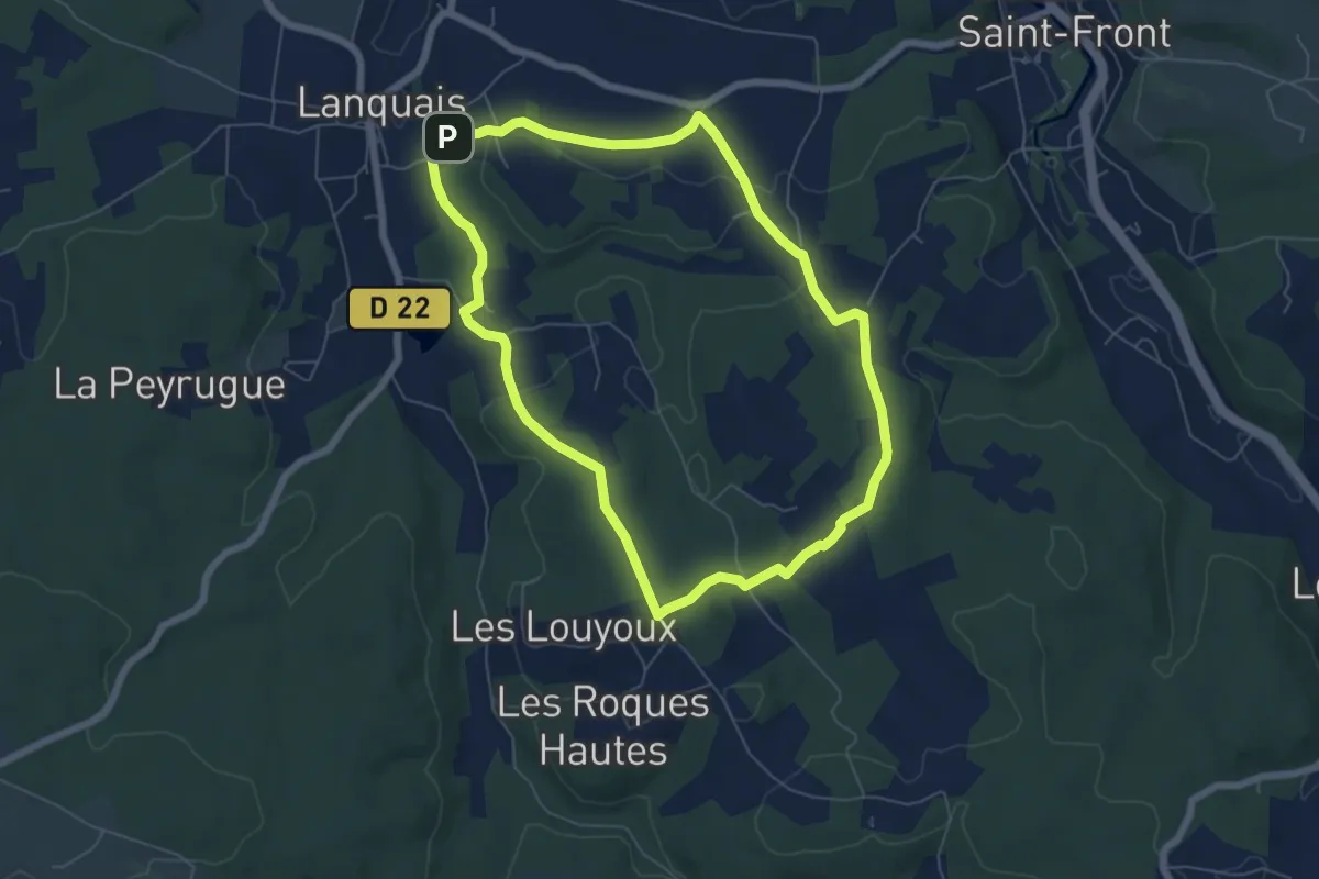
Easy · Trail
Boucle des coteaux
6.2 km · ↑ 109 m · 1 h 48 min · 5 km away
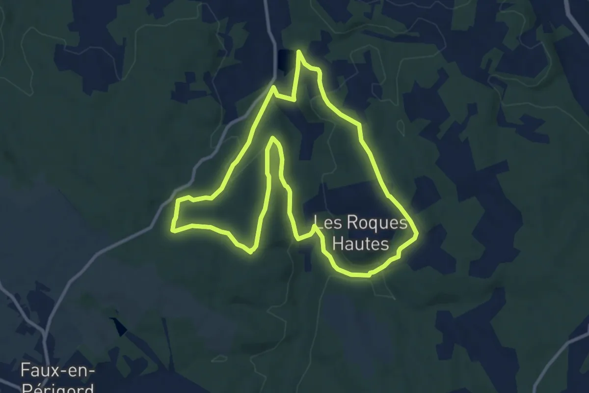
Medium · Trail
Boucle des eaux
9.3 km · ↑ 194 m · 2 h 44 min · 6 km away
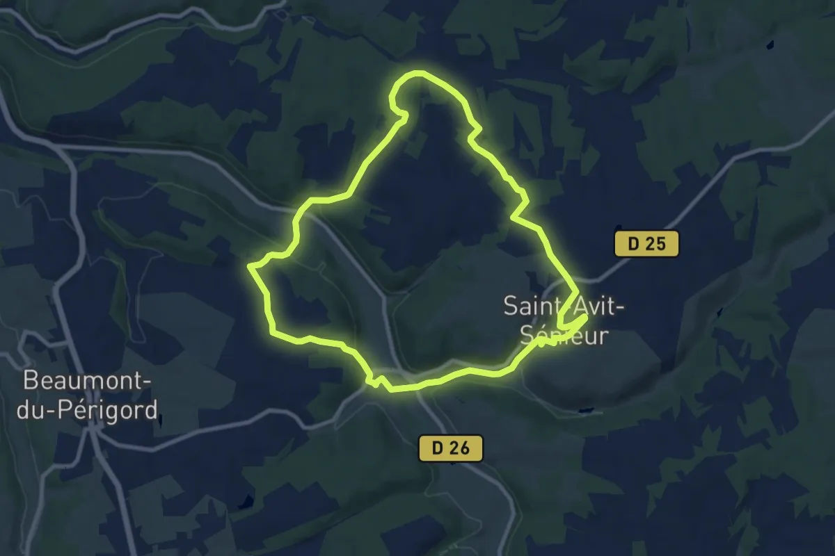
Medium · Trail
Boucle d'Avitus
9.2 km · ↑ 223 m · 2 h 47 min · 8 km away
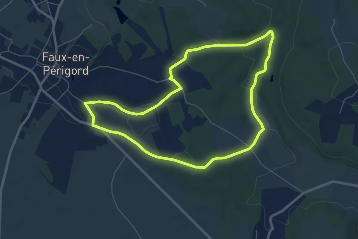
Easy · Trail
Boucle de Faux
6.0 km · ↑ 79 m · 1 h 41 min · 8 km away
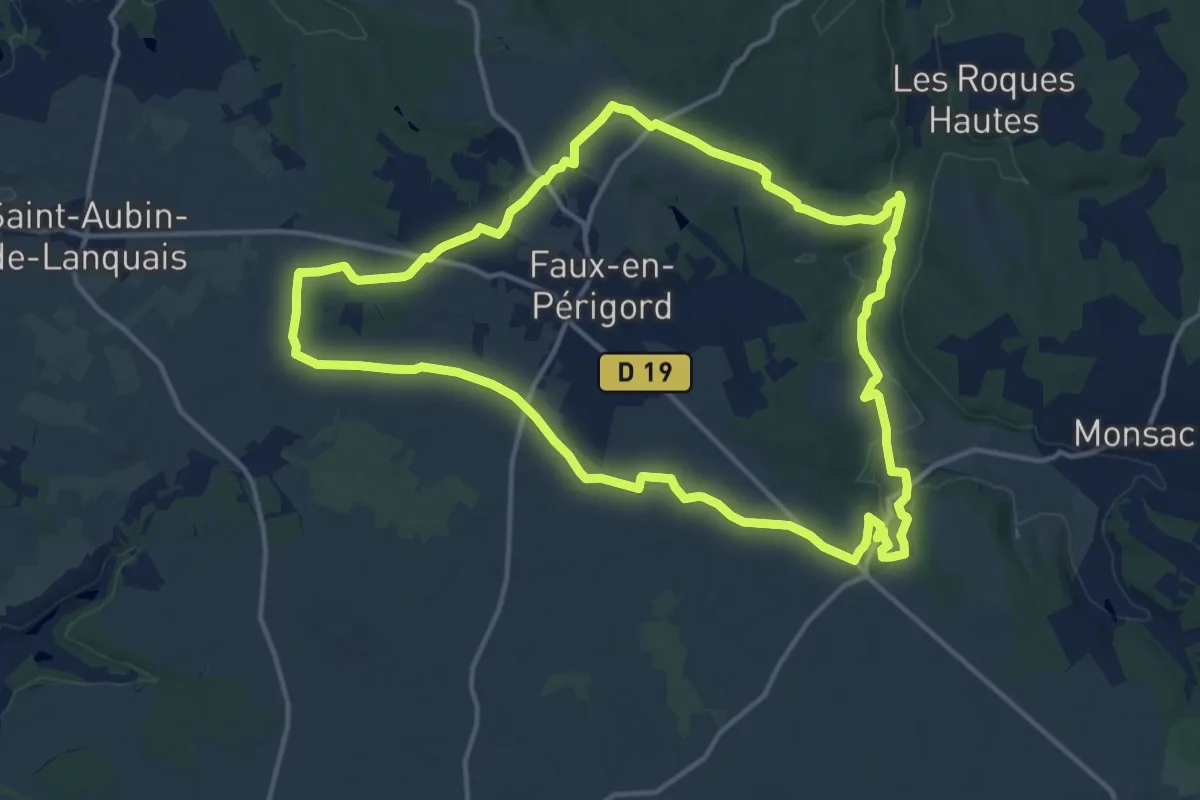
Medium · Trail
Boucle Falloise
15.3 km · ↑ 153 m · 4 h 9 min · 9 km away
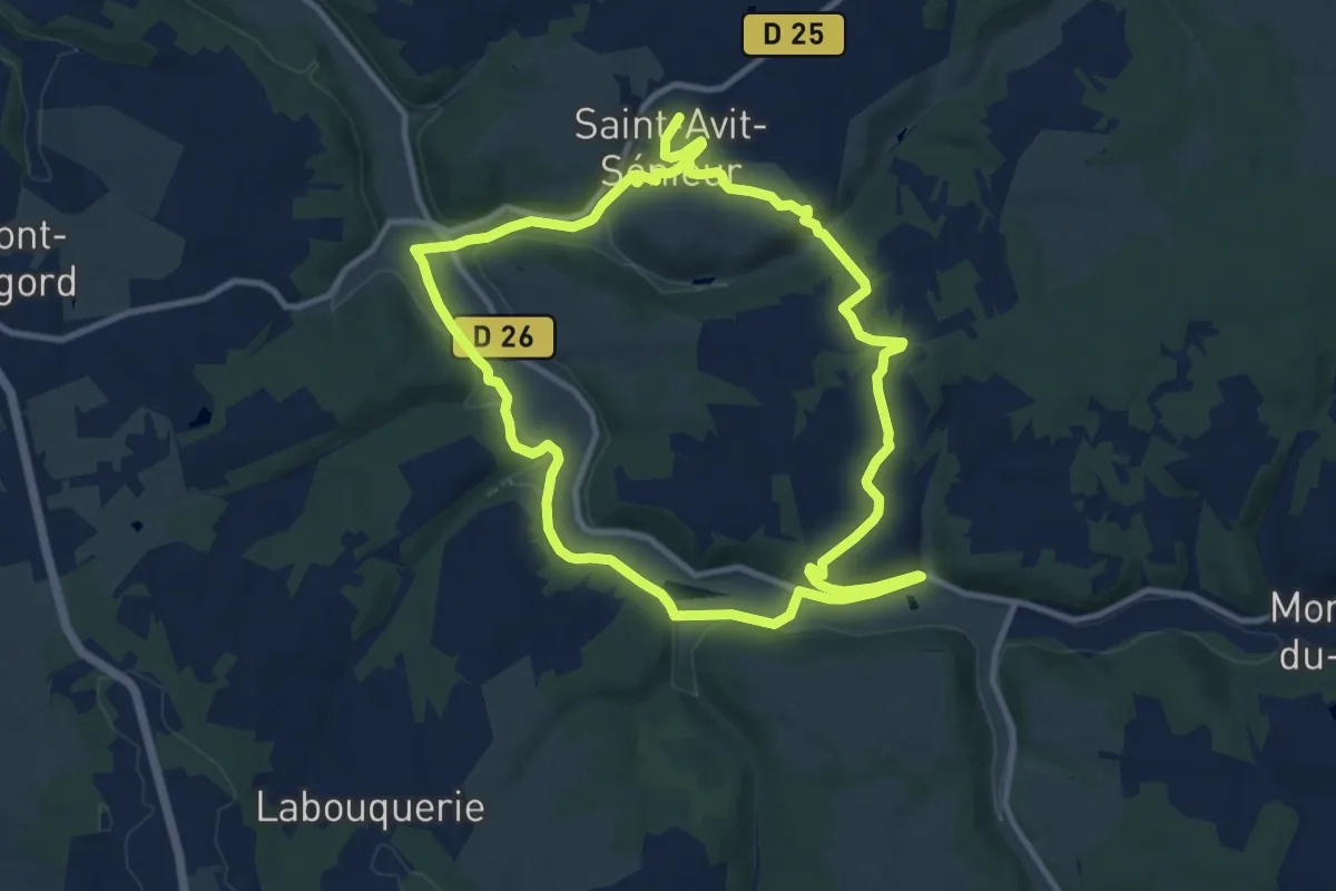
Demanding · Trail
Boucle de Pont Roudier
21.9 km · ↑ 435 m · 6 h 7 min · 9 km away
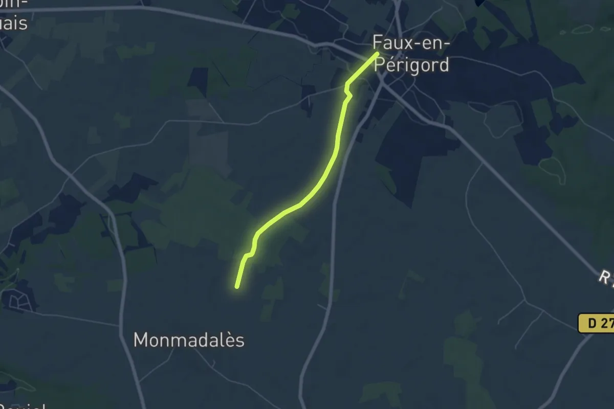
Easy · Trail
Liaison Faux - Monmadalès - Montaut
5.1 km · ↑ 40 m · 1 h 17 min · 9 km away
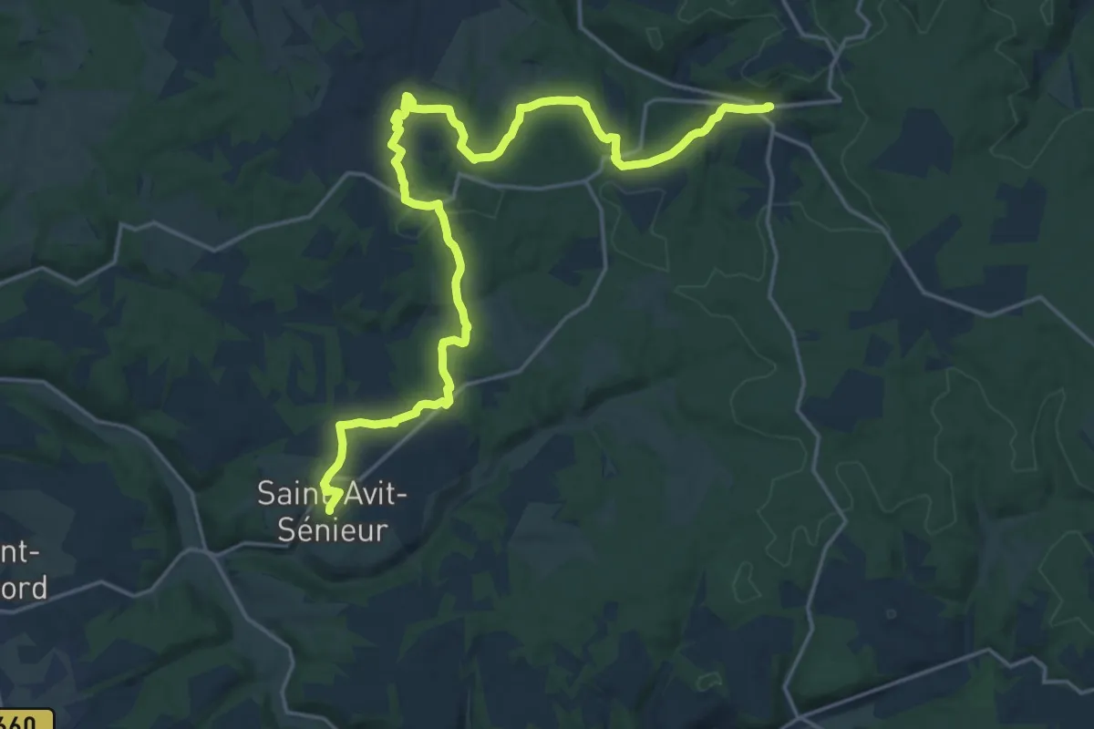
Demanding · Trail
Étape 15 • Chemin d'Amadour
23.7 km · ↑ 449 m · 6 h 33 min · 9 km away
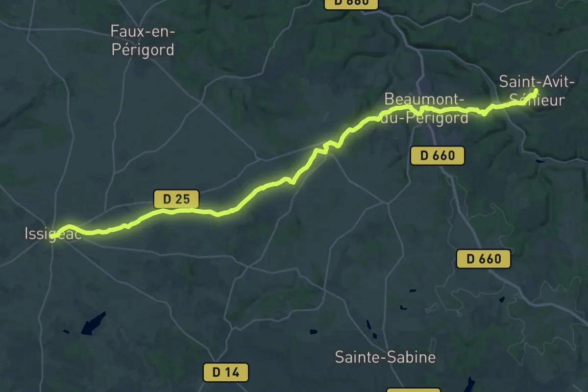
Demanding · Trail
Étape 14 • Chemin d'Amadour
19.9 km · ↑ 252 m · 5 h 33 min · 9 km away
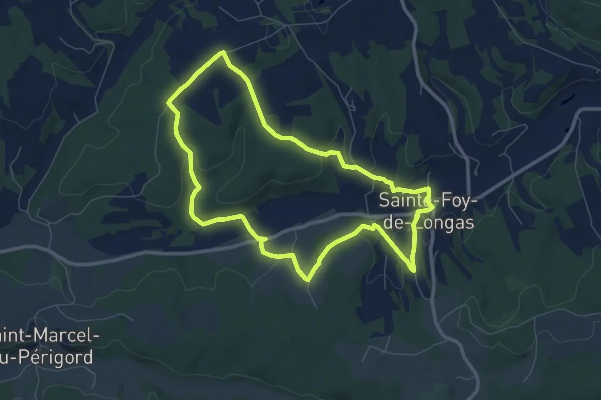
Easy · Trail
Moulin Pommier
7.1 km · ↑ 149 m · 2 h 6 min · 10 km away
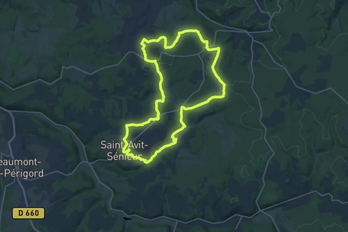
Medium · Trail
Boucle des pélerins
17.6 km · ↑ 267 m · 4 h 59 min · 10 km away
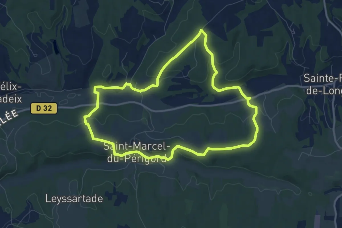
Medium · Trail
Tiregrand
8.8 km · ↑ 203 m · 2 h 38 min · 10 km away
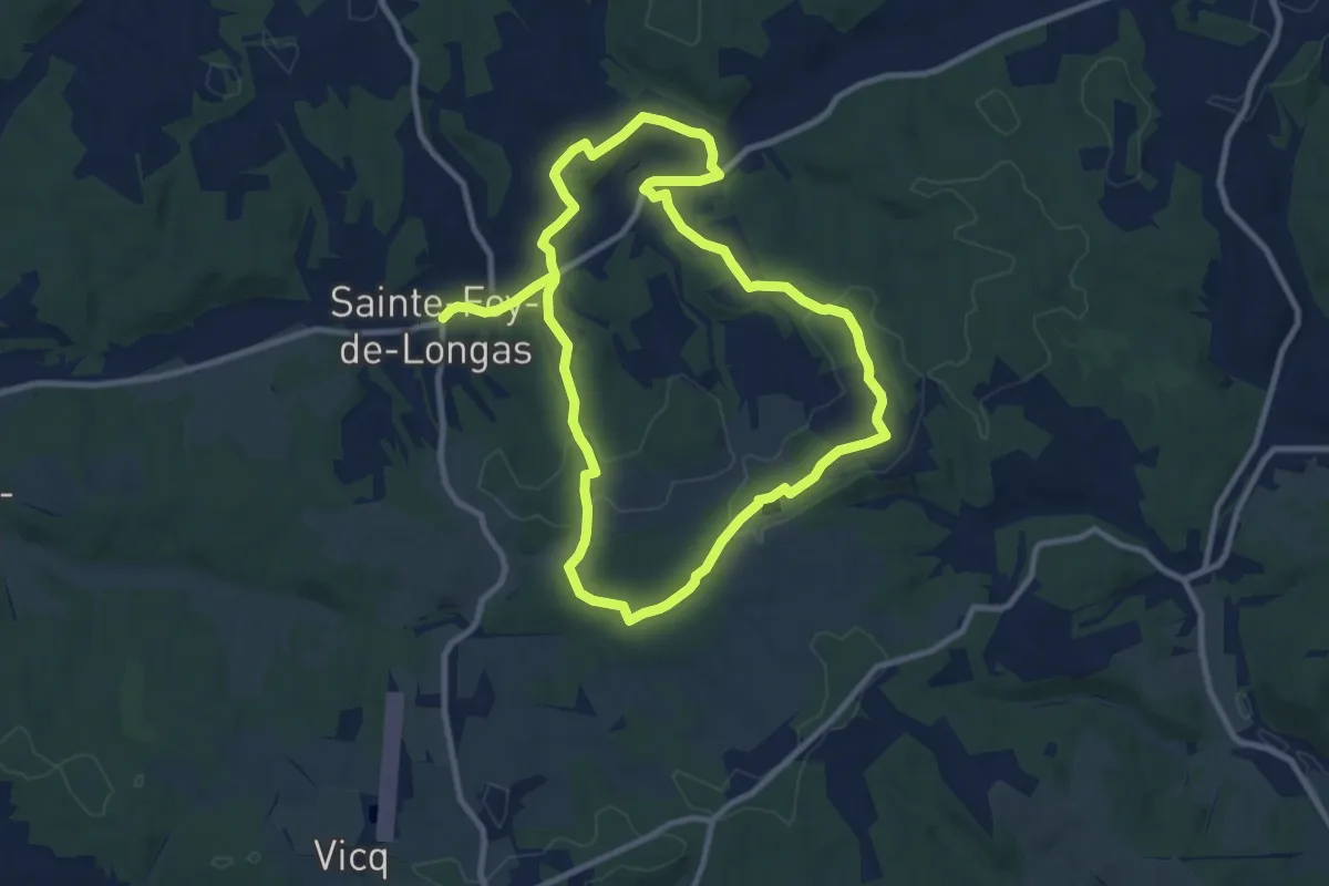
Demanding · Trail
Château de Longas
19.1 km · ↑ 361 m · 5 h 18 min · 10 km away
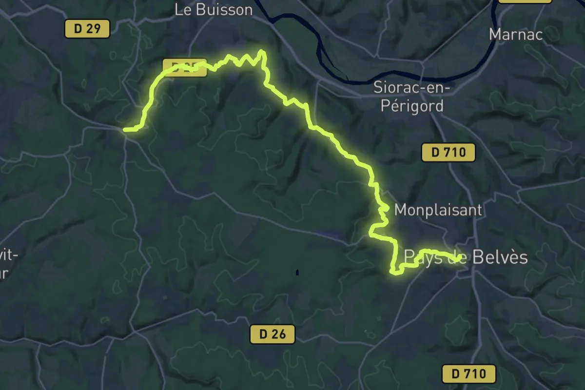
Demanding · Trail
Étape 16 • Chemin d'Amadour
20.6 km · ↑ 488 m · 6 h 11 min · 11 km away
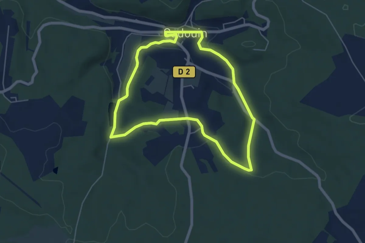
Easy · Trail
Boucle du pélerin
4.6 km · ↑ 79 m · 1 h 20 min · 11 km away
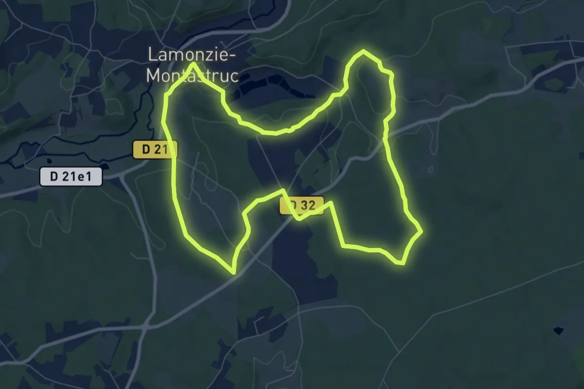
Medium · Trail
Circuit vert
8.9 km · ↑ 145 m · 2 h 32 min · 11 km away
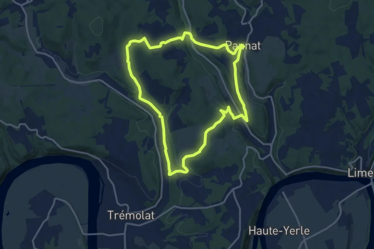
Medium · Trail
Boucle Des Montoises
10.1 km · ↑ 257 m · 3 h 5 min · 12 km away
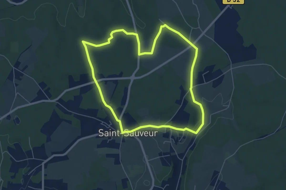
Easy · Trail
Sentier des Pins
5.9 km · ↑ 50 m · 1 h 35 min · 12 km away
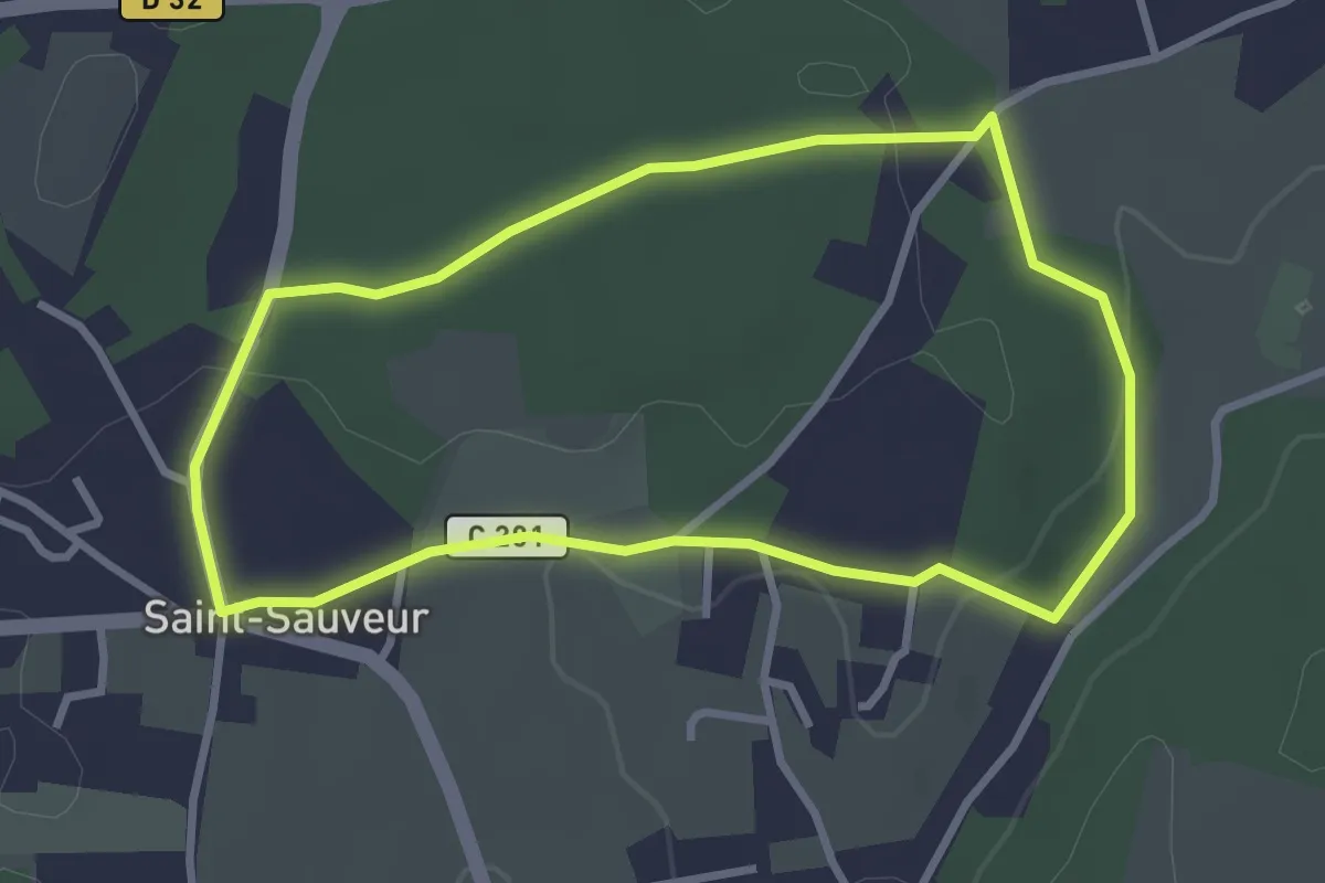
Easy · Trail
Sentier des Charmes
3.0 km · ↑ 34 m · 50 min · 12 km away
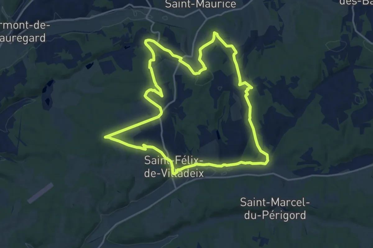
Medium · Trail
La Peyrouse
14.6 km · ↑ 284 m · 4 h 17 min · 12 km away
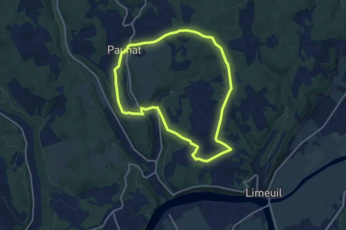
Easy · Trail
Boucle Bertrandoux
7.7 km · ↑ 148 m · 2 h 15 min · 12 km away
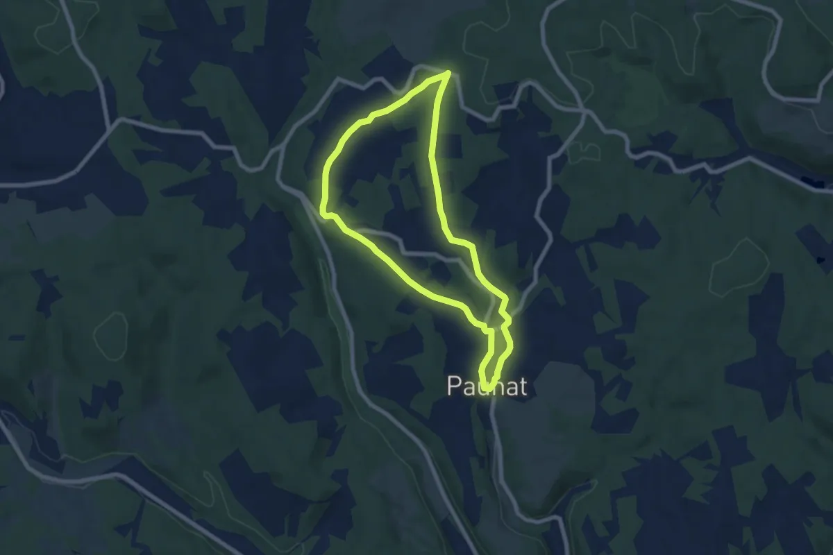
Easy · Trail
Boucle des Bénédictins
6.4 km · ↑ 106 m · 1 h 49 min · 12 km away
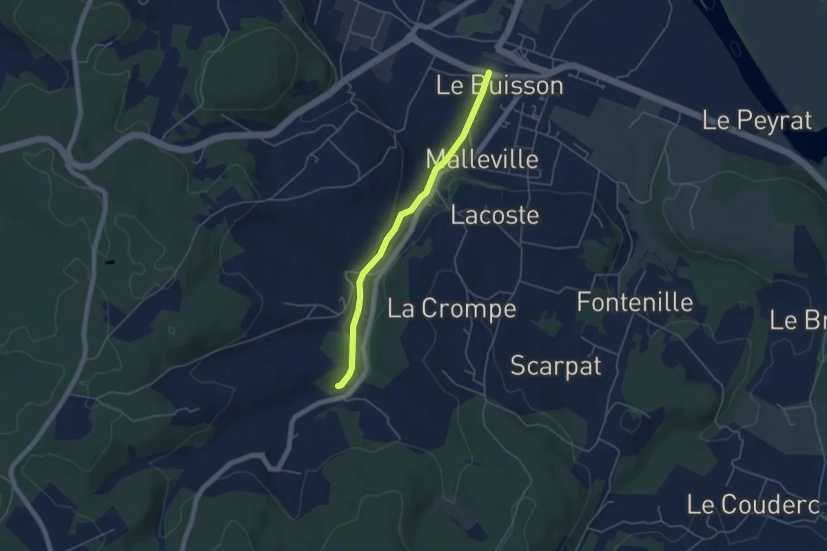
Easy · Trail
Jonction Le Buisson • Chemin d'Amadour
4.2 km · ↑ 41 m · 1 h 5 min · 12 km away
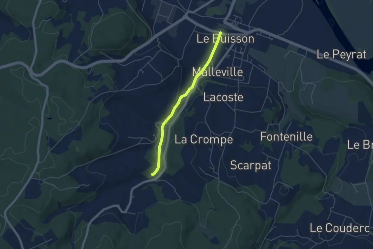
Easy · Trail
Jonction Cadouin - Le Buisson • Chemin d'Amadour
4.2 km · ↑ 41 m · 1 h 5 min · 12 km away
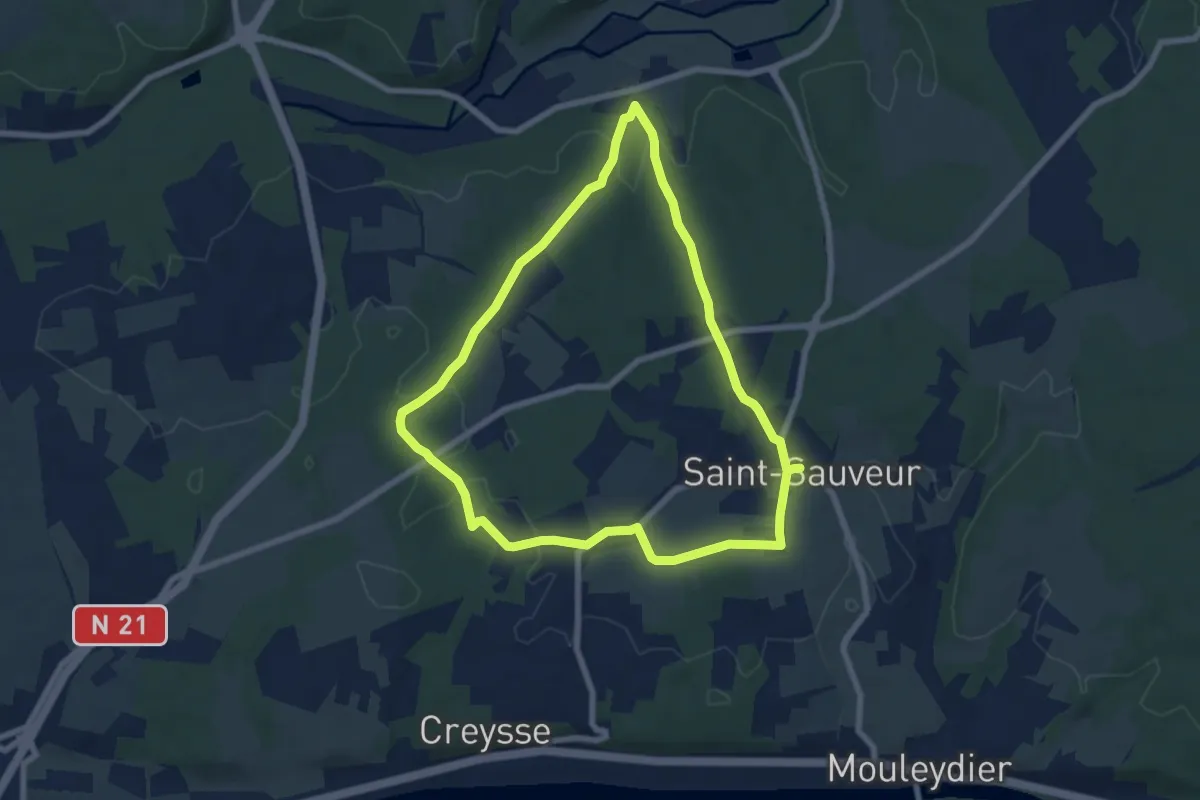
Easy · Trail
Sentier du Chêne
7.0 km · ↑ 114 m · 2 h · 13 km away
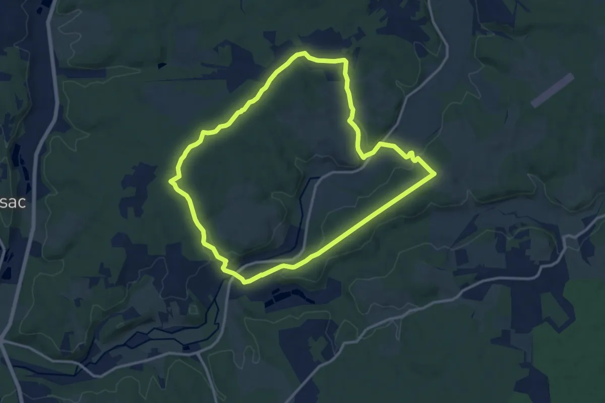
Medium · Trail
Circuit bleu
10.8 km · ↑ 191 m · 3 h 7 min · 13 km away
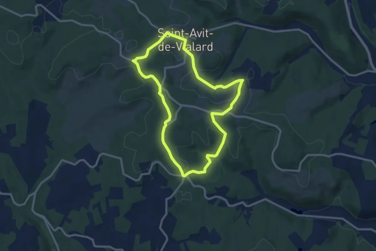
Easy · Trail
Boucle de Vialard
6.9 km · ↑ 120 m · 1 h 59 min · 14 km away
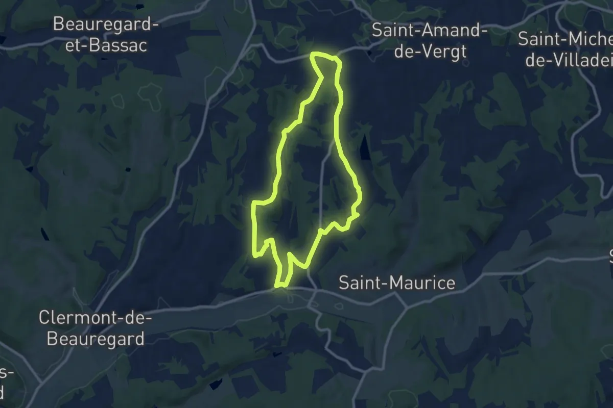
Medium · Trail
Boucle des Moulins
9.1 km · ↑ 173 m · 2 h 39 min · 14 km away
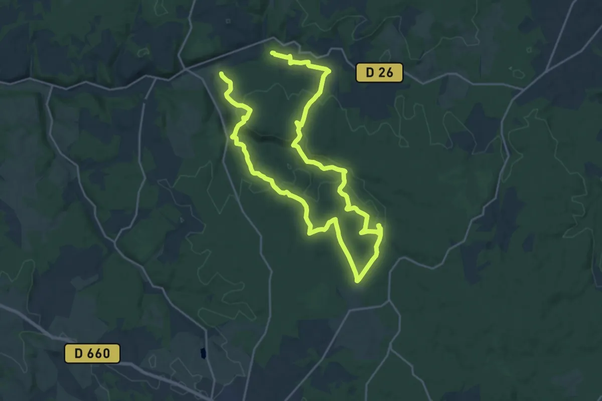
Medium · Trail
Boucle de la Forêt
16.4 km · ↑ 315 m · 4 h 47 min · 15 km away