Trails near Langon
47 hikes starting within 15 km, nearest first.
Nearest first
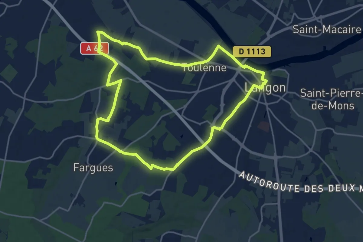
Medium · Trail
De Ville en Vignes
14.1 km · ↑ 64 m · 3 h 39 min · under 1 km away
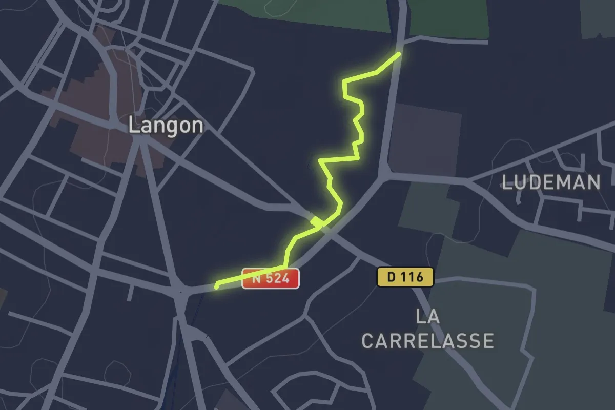
Easy · Trail
Chemin du Brion
2.0 km · ↑ 0 m · 29 min · 1 km away
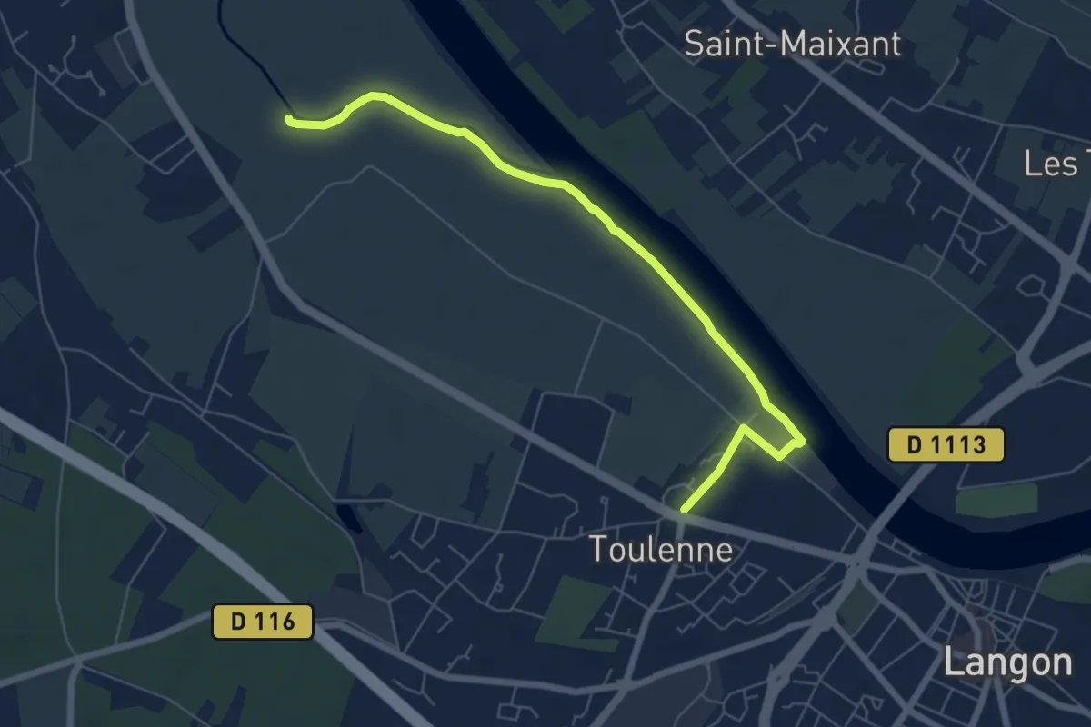
Easy · Trail
Les Pescayres : boucle locale
7.1 km · ↑ 27 m · 1 h 43 min · 1 km away
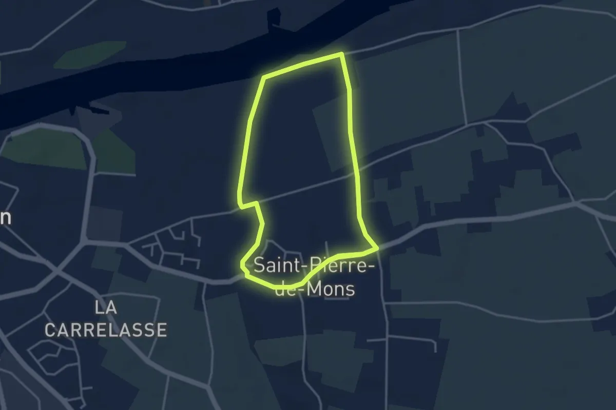
Easy · Trail
Les Palus : boucle locale
6.5 km · ↑ 45 m · 1 h 38 min · 2 km away
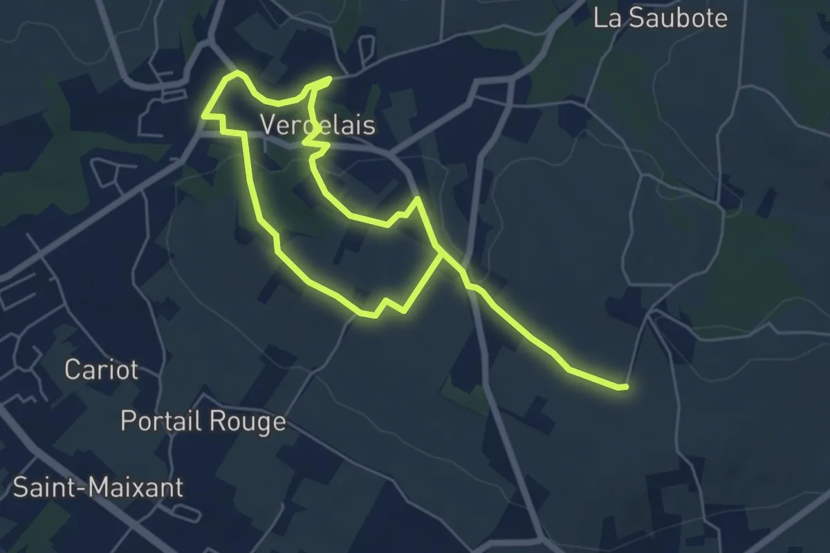
Medium · Trail
Boucle locale de Verdelais
8.6 km · ↑ 170 m · 2 h 24 min · 3 km away
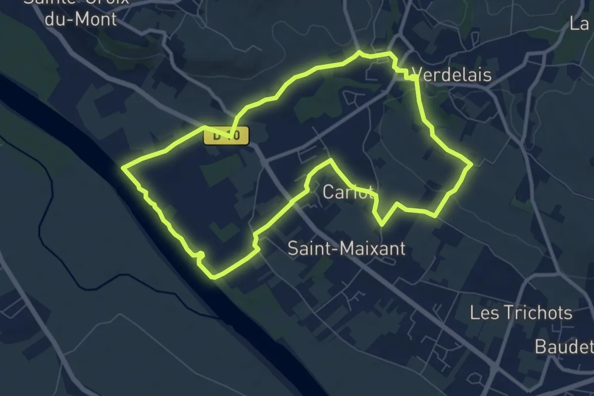
Medium · Trail
Saint-Maixant : boucle locale
8.1 km · ↑ 108 m · 2 h 16 min · 4 km away
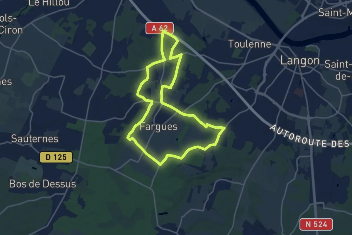
Medium · Trail
La Feuille et le Grain : boucle locale
13.1 km · ↑ 58 m · 3 h 24 min · 4 km away
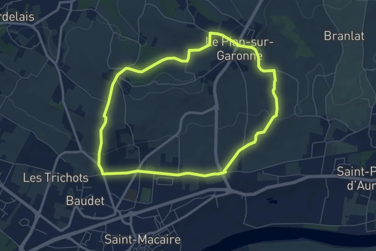
Easy · Trail
Le Pian-sur-Garonne : boucle locale
6.5 km · ↑ 125 m · 1 h 53 min · 4 km away
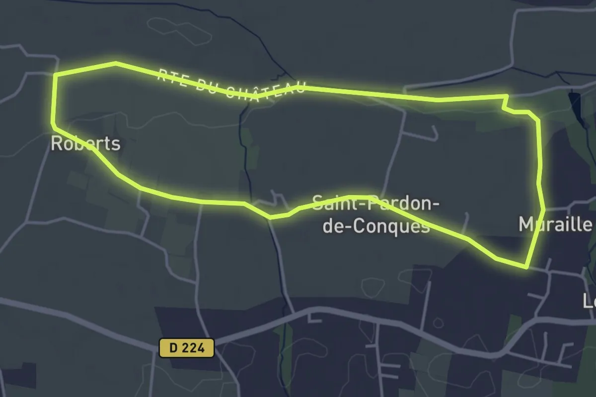
Easy · Trail
Les Jauberthes : boucle locale
4.5 km · ↑ 23 m · 1 h 10 min · 5 km away
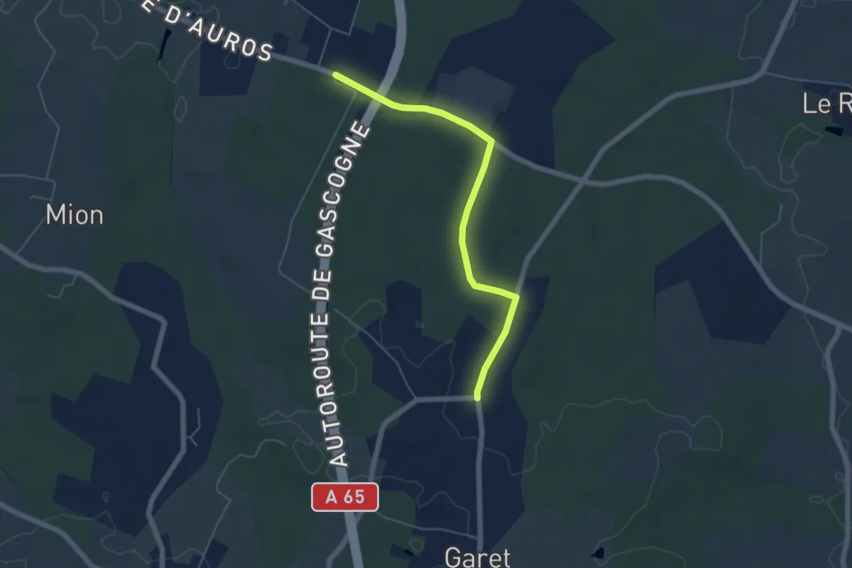
Easy · Trail
Alternate for Circuit départemental Les Contrastes
5.1 km · ↑ 40 m · 1 h 17 min · 5 km away
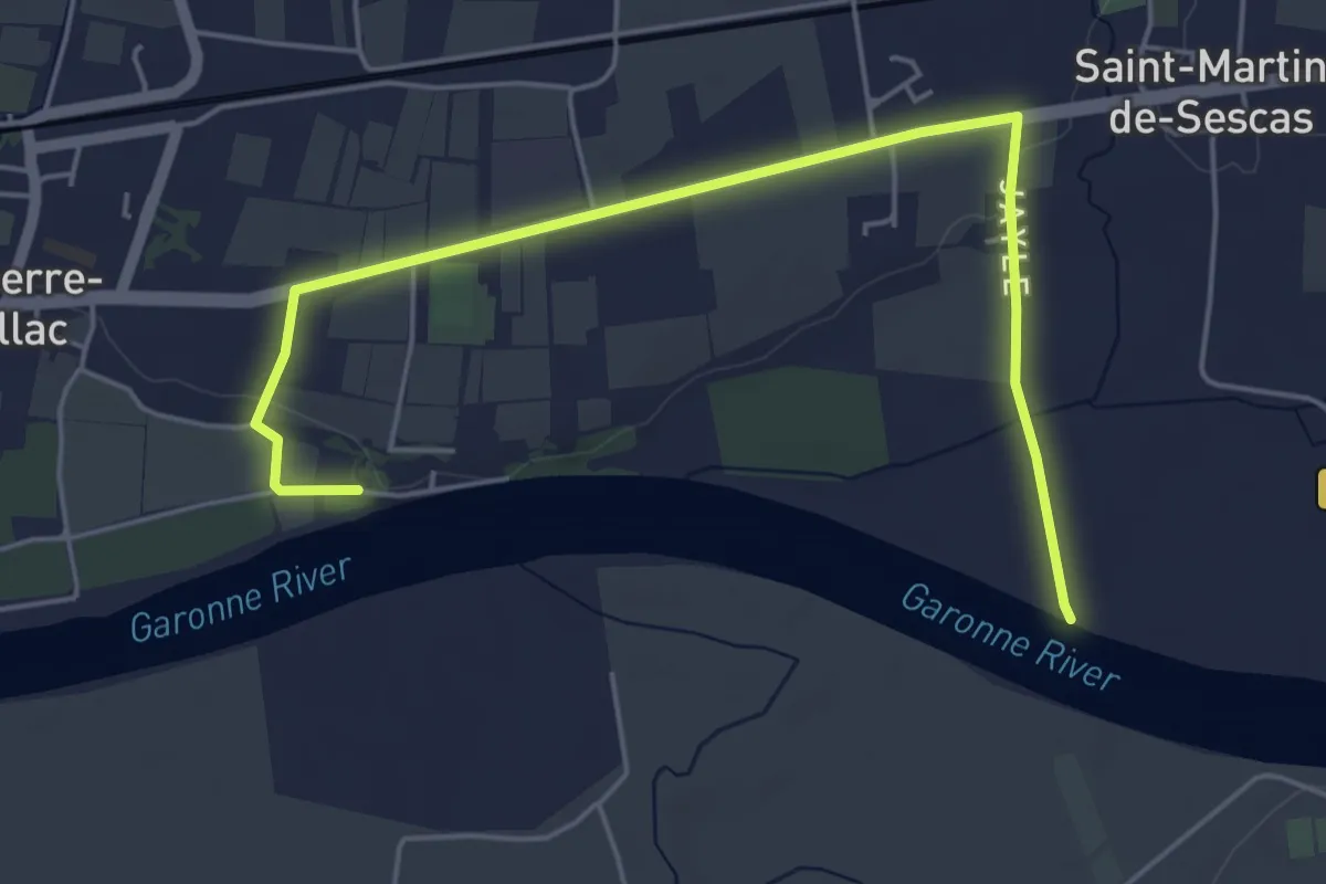
Easy · Trail
Déviation pour circuit des Bords de Garonne
6.1 km · ↑ 42 m · 1 h 31 min · 5 km away
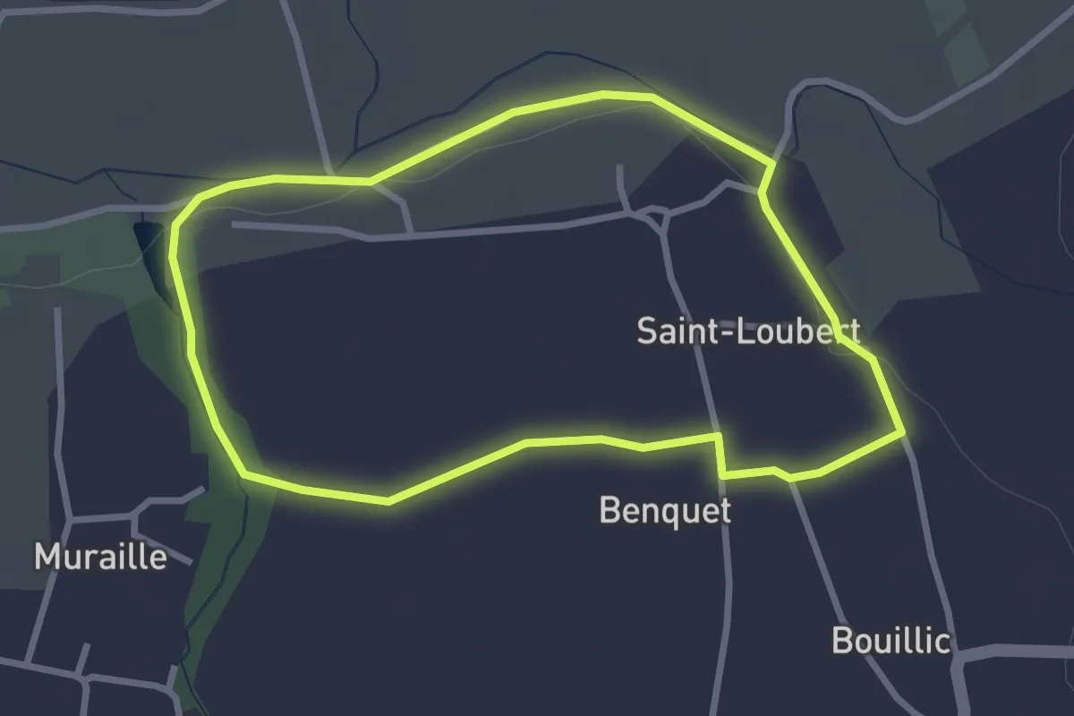
Easy · Trail
Le Carpe : boucle locale
2.8 km · ↑ 18 m · 44 min · 6 km away
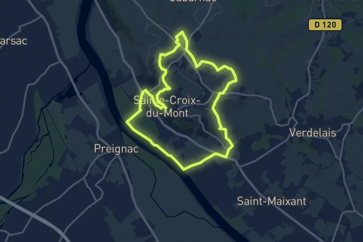
Medium · Trail
Boucle de Sainte-Croix
10.1 km · ↑ 175 m · 2 h 54 min · 6 km away
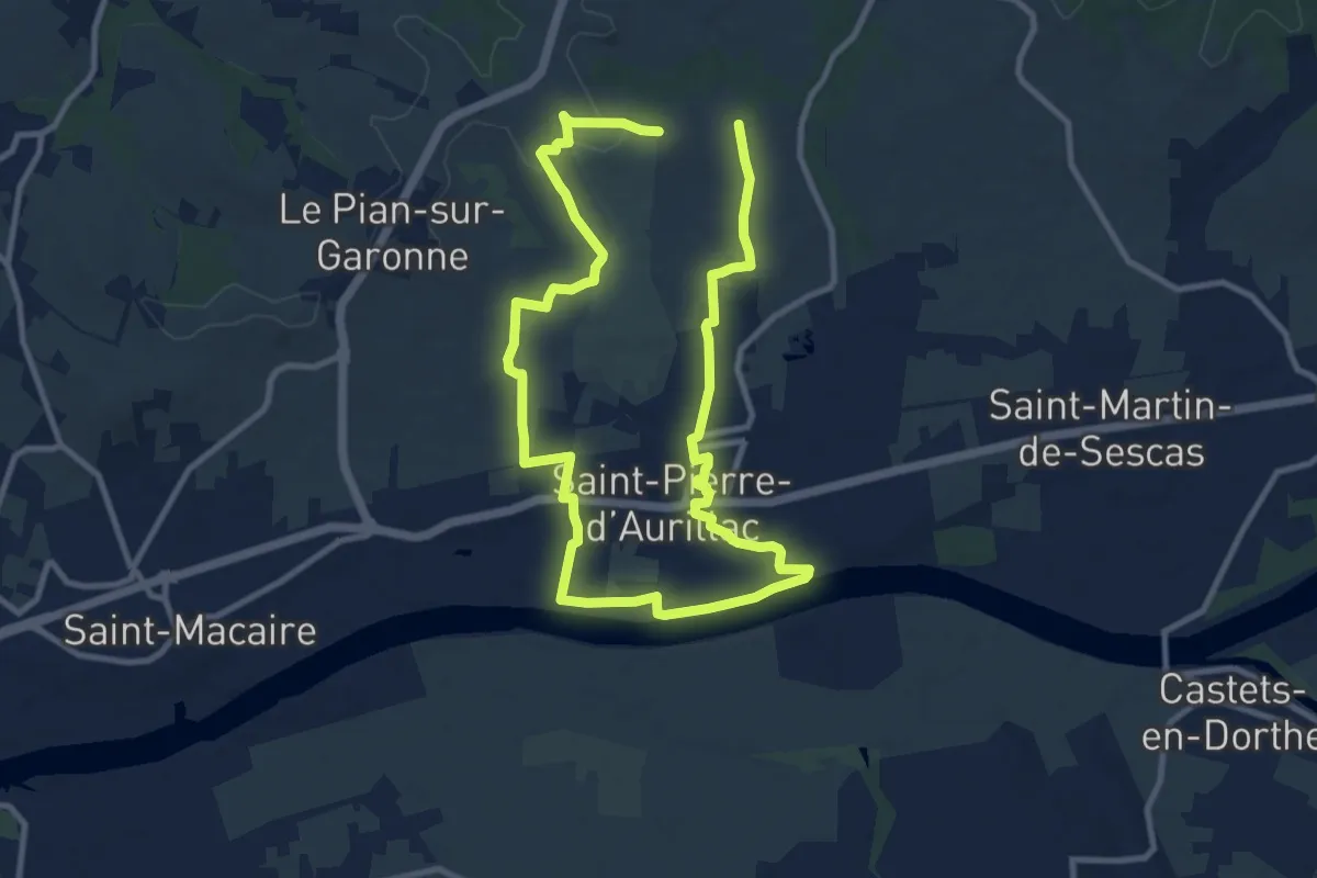
Demanding · Trail
Saint-Pierre-d'Aurillac : boucle locale
18.6 km · ↑ 227 m · 4 h 53 min · 6 km away
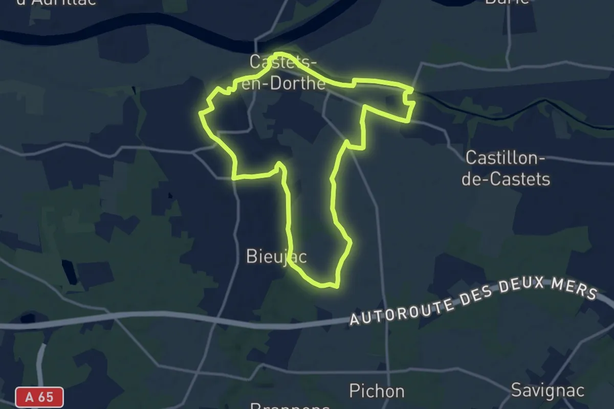
Medium · Trail
Les Vallons : boucle locale
11.8 km · ↑ 87 m · 3 h 9 min · 6 km away
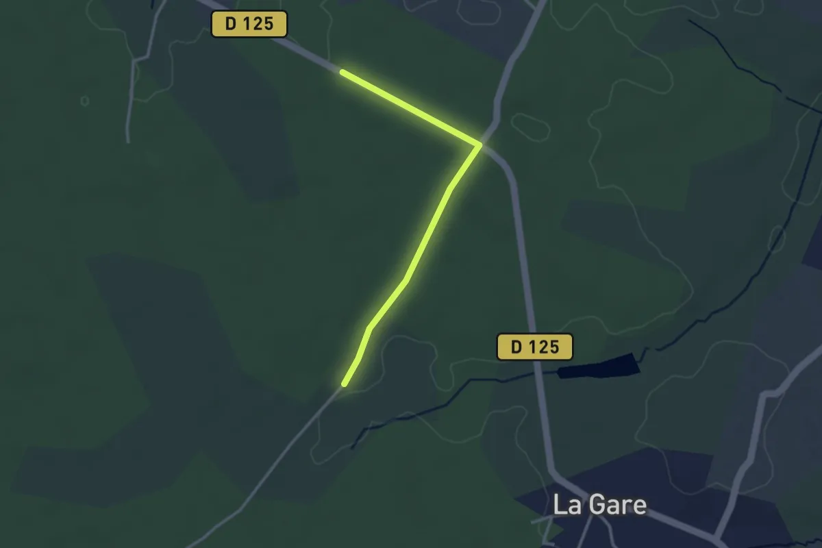
Easy · Trail
Alternate for circuit départemental Les Arrius
2.8 km · ↑ 9 m · 41 min · 7 km away
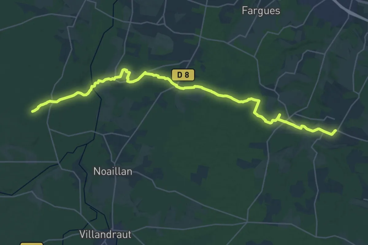
Demanding · Trail
Les Paloumayres : circuit départemental
30.4 km · ↑ 236 m · 7 h 42 min · 7 km away
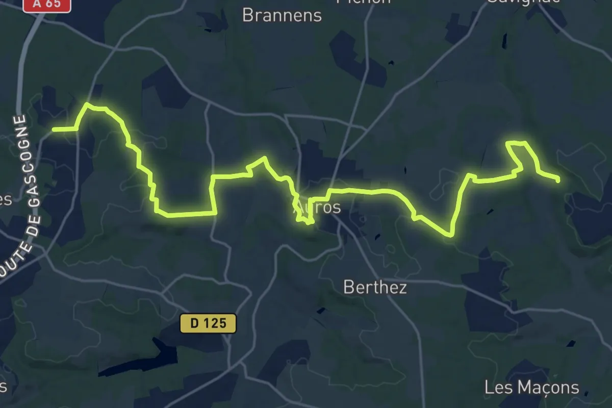
Demanding · Trail
Pays d'Auros : Coimères - Auros - Sigalens : circuit départemental
25.6 km · ↑ 462 m · 7 h 3 min · 7 km away
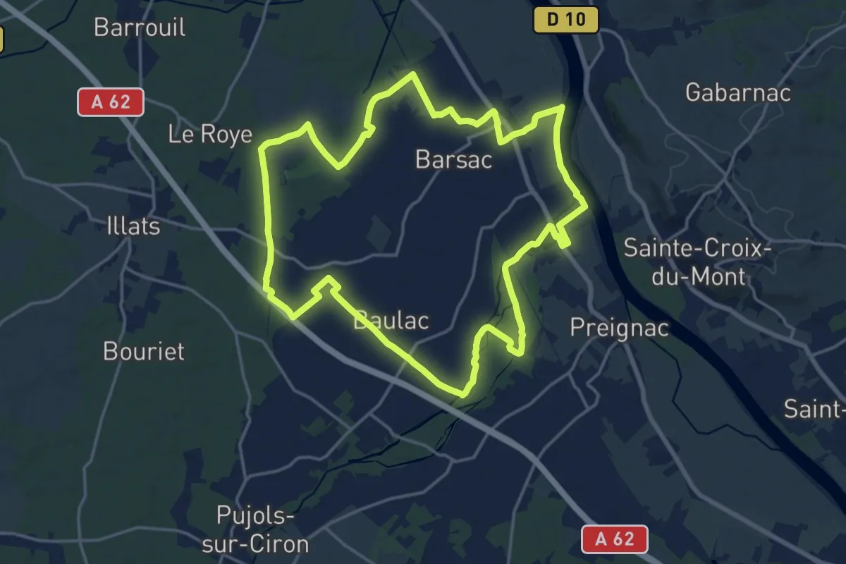
Medium · Trail
Boucle locale de Barsac
17.5 km · ↑ 18 m · 4 h 24 min · 7 km away
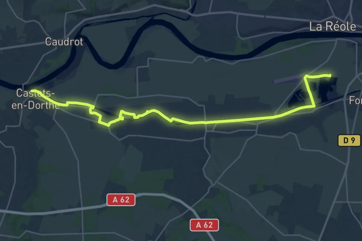
Demanding · Trail
Le Halage : circuit départemental
23.6 km · ↑ 202 m · 6 h · 7 km away
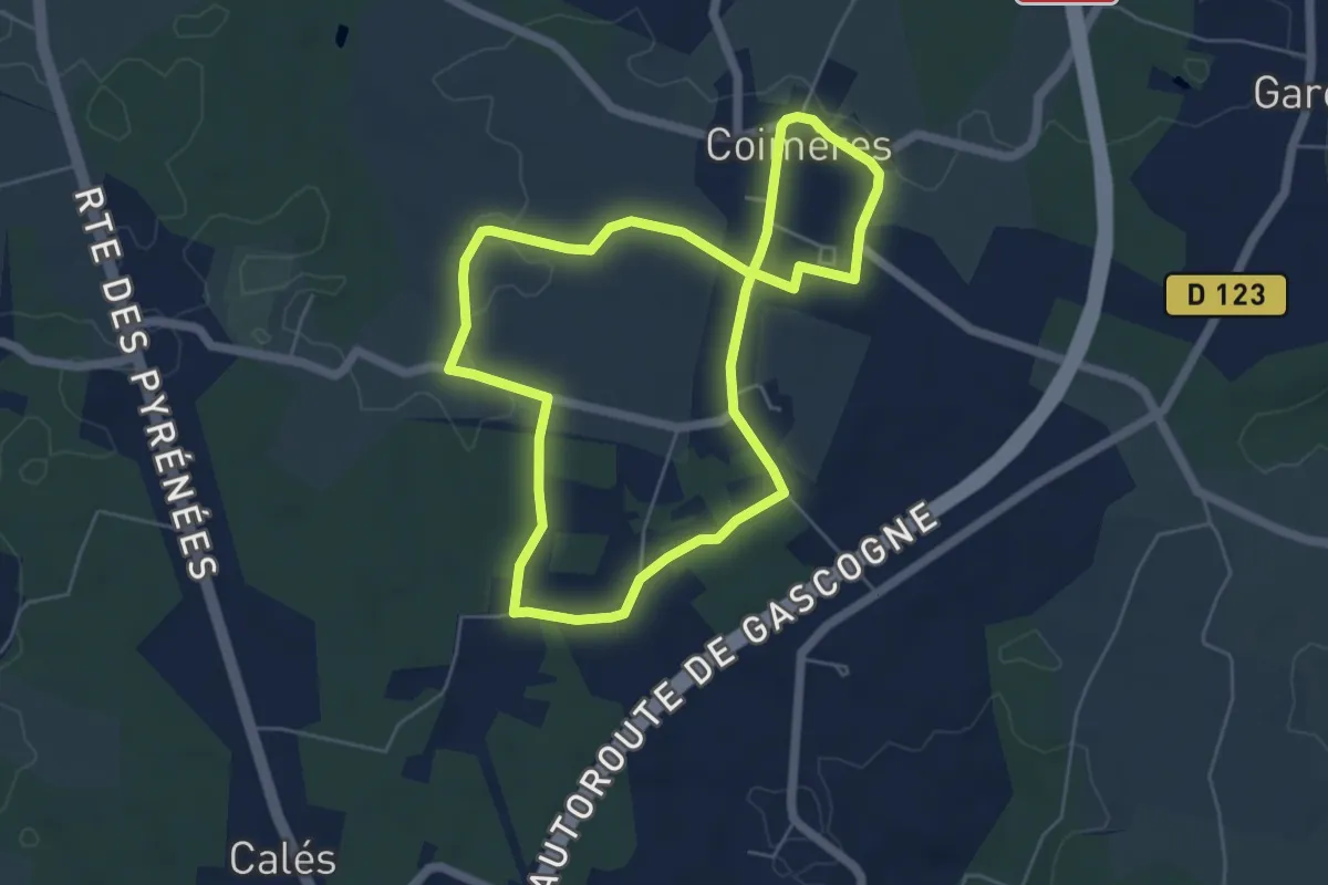
Easy · Trail
Les Hounts : boucle locale
5.5 km · ↑ 38 m · 1 h 27 min · 7 km away
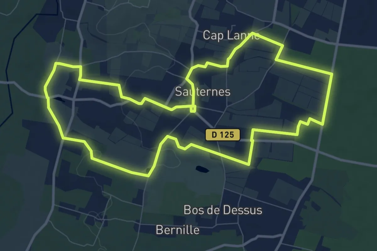
Medium · Trail
Botrytis Cinéréa : boucle locale
9.9 km · ↑ 77 m · 2 h 39 min · 8 km away
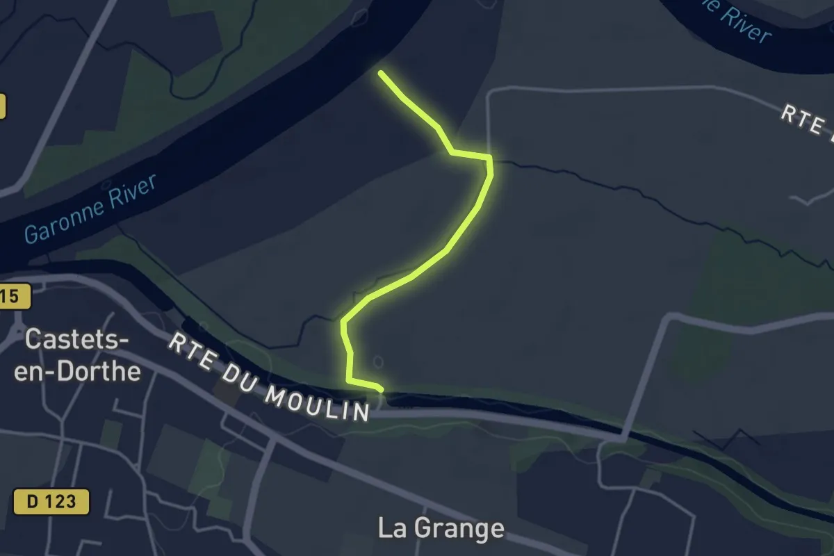
Easy · Trail
Déviation pour Les Gabares et Les Eaux Mêlées
3.0 km · ↑ 8 m · 43 min · 8 km away
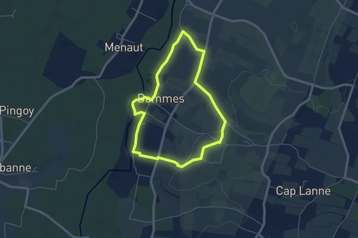
Easy · Trail
Le Vin Soleil : boucle locale
4.5 km · ↑ 36 m · 1 h 12 min · 8 km away
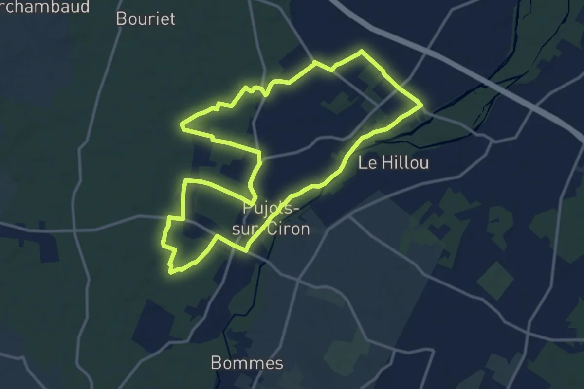
Medium · Trail
Pujols-sur-Ciron : boucle locale
11.1 km · ↑ 27 m · 2 h 50 min · 9 km away
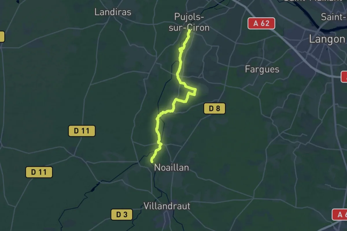
Demanding · Trail
Les Brumes d'Or : circuit départemental
24.6 km · ↑ 130 m · 6 h 6 min · 9 km away
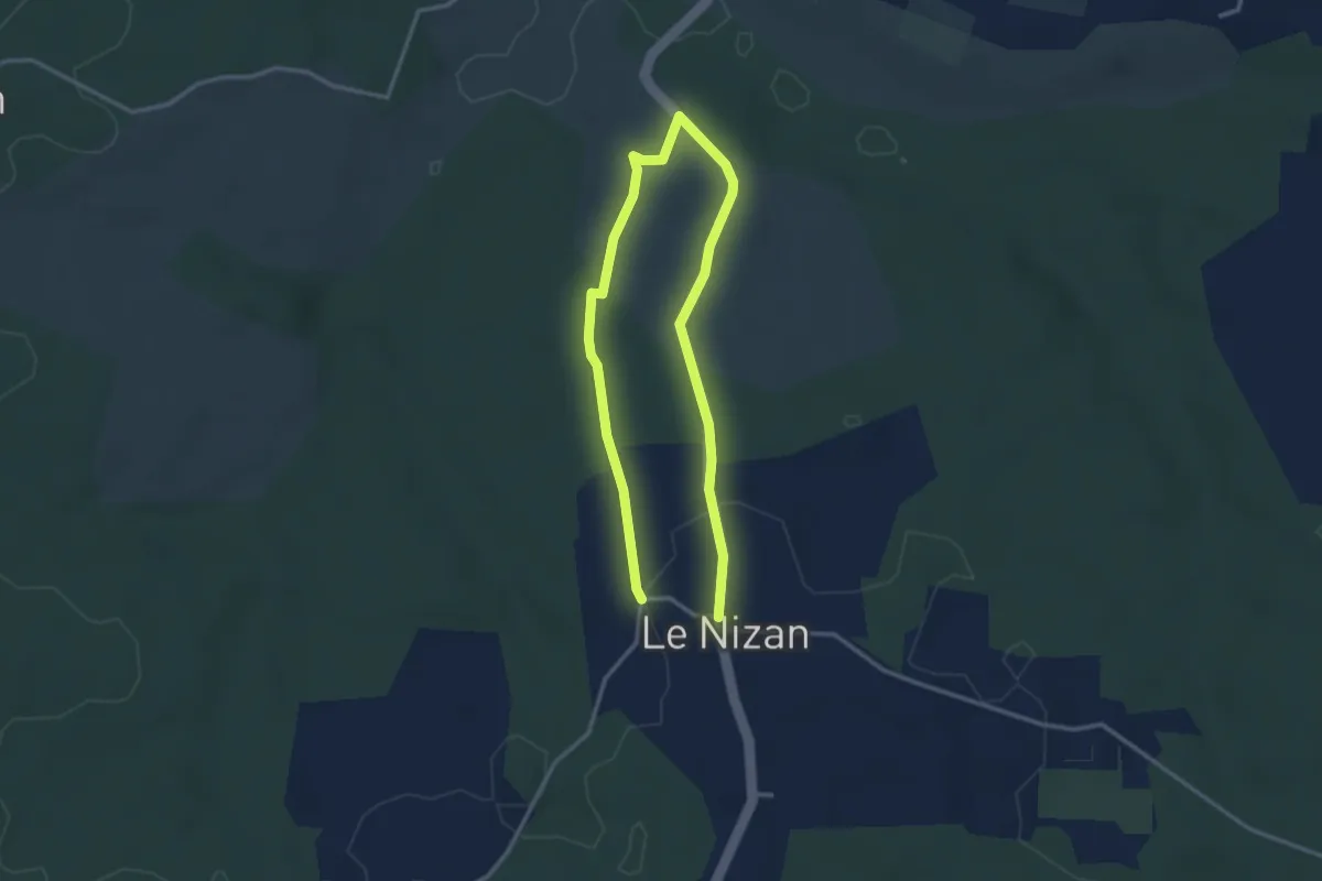
Easy · Trail
Le Nizan : boucle locale
5.1 km · ↑ 68 m · 1 h 21 min · 9 km away
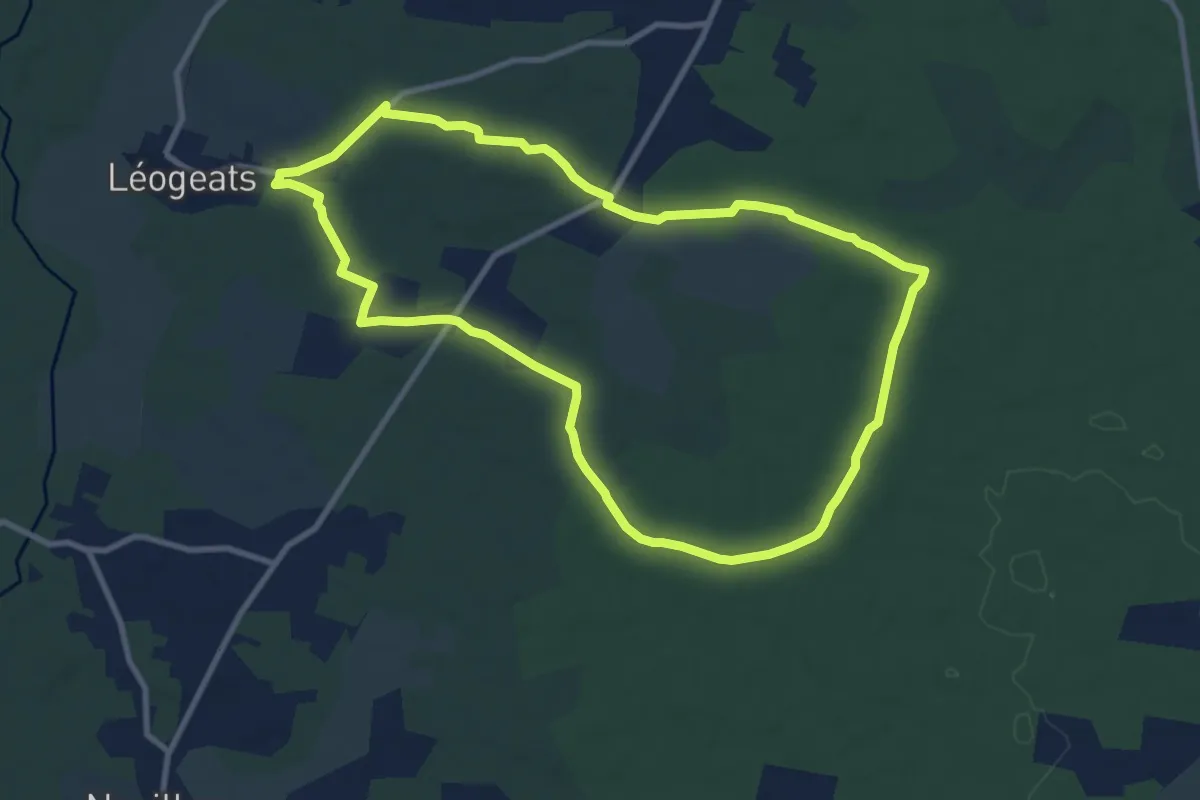
Medium · Trail
La Hounrède : boucle locale
10.0 km · ↑ 48 m · 2 h 36 min · 9 km away
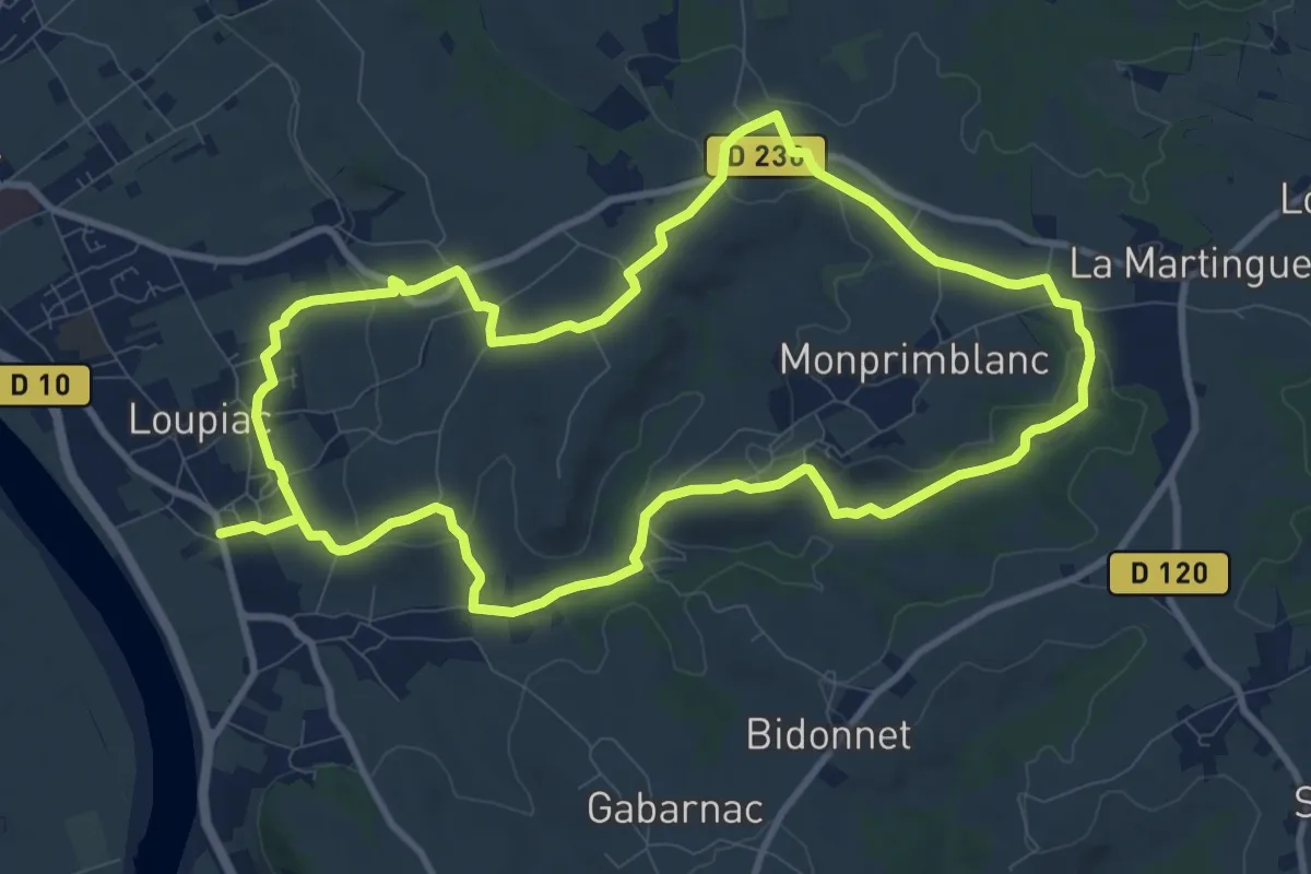
Demanding · Trail
Monprimblanc et Loupiac : boucle locale
20.9 km · ↑ 325 m · 5 h 39 min · 9 km away
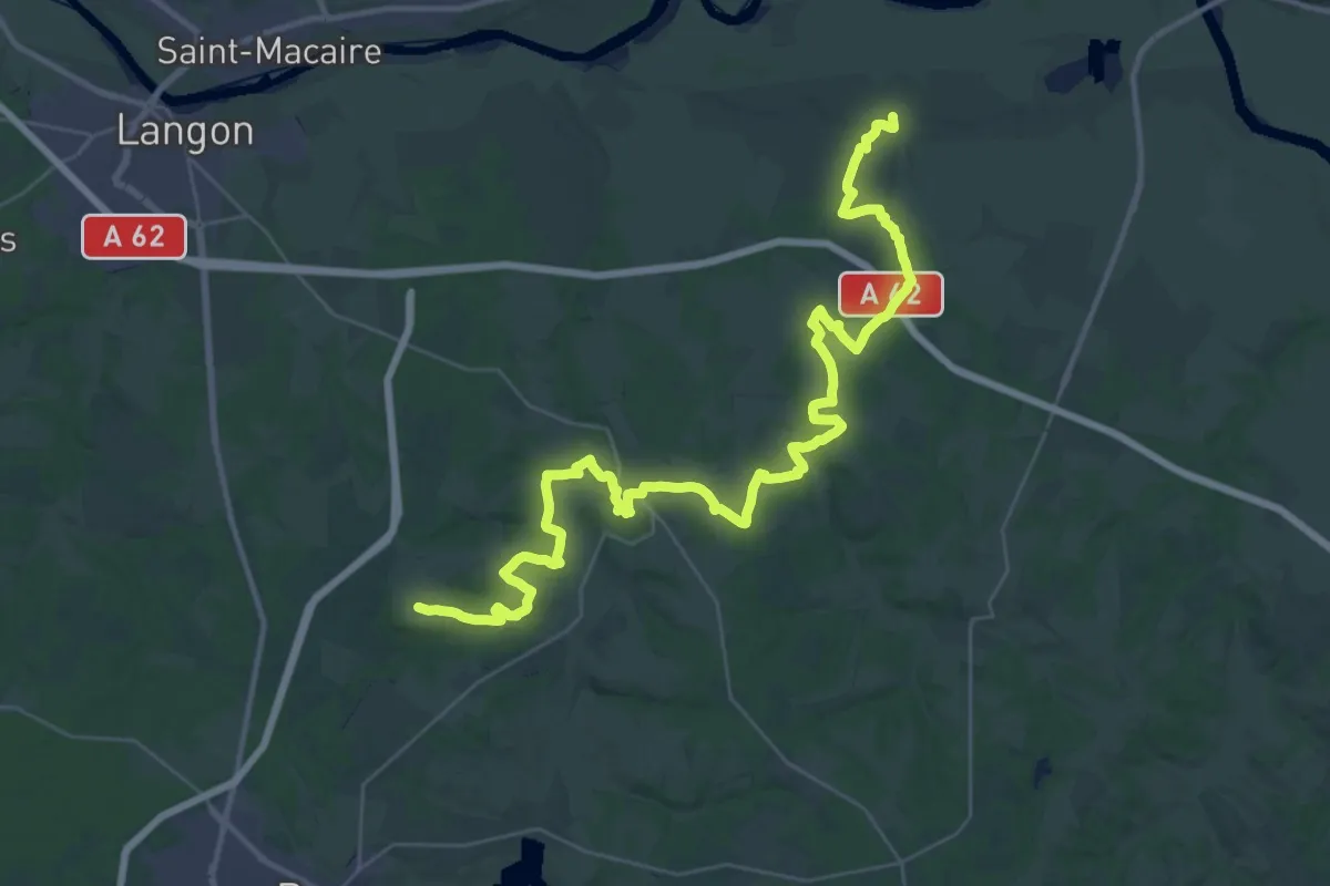
Demanding · Trail
Pays d'Auros : Bassanne - Auros - Cazats : circuit départemental
24.6 km · ↑ 313 m · 6 h 52 min · 9 km away
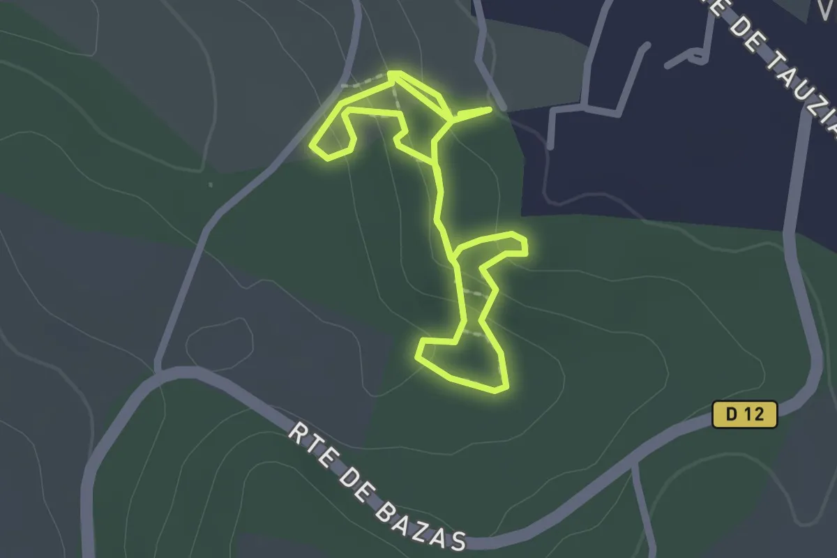
Easy · Trail
Le sentier de Monco
1.7 km · ↑ 85 m · 36 min · 10 km away
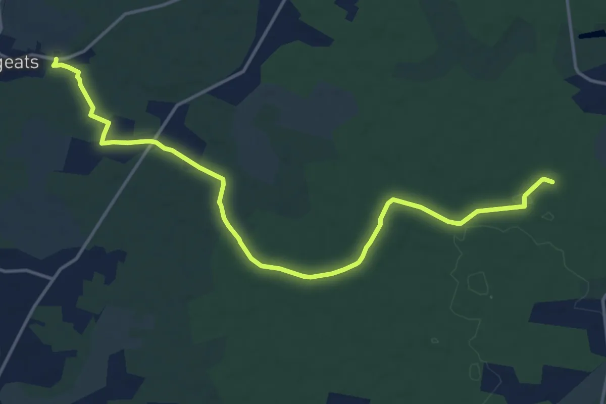
Medium · Trail
Les Gemeys : circuit départemental
13.7 km · ↑ 76 m · 3 h 24 min · 10 km away
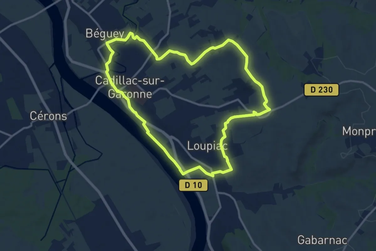
Medium · Trail
Boucle locale de Cadillac
9.8 km · ↑ 84 m · 2 h 38 min · 10 km away
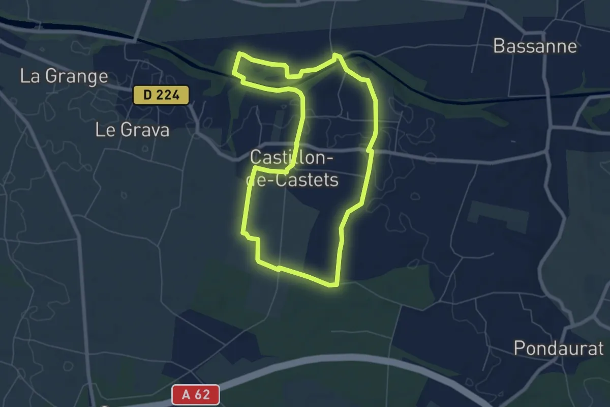
Easy · Trail
Les Deux Rives : boucle locale
6.4 km · ↑ 55 m · 1 h 43 min · 10 km away
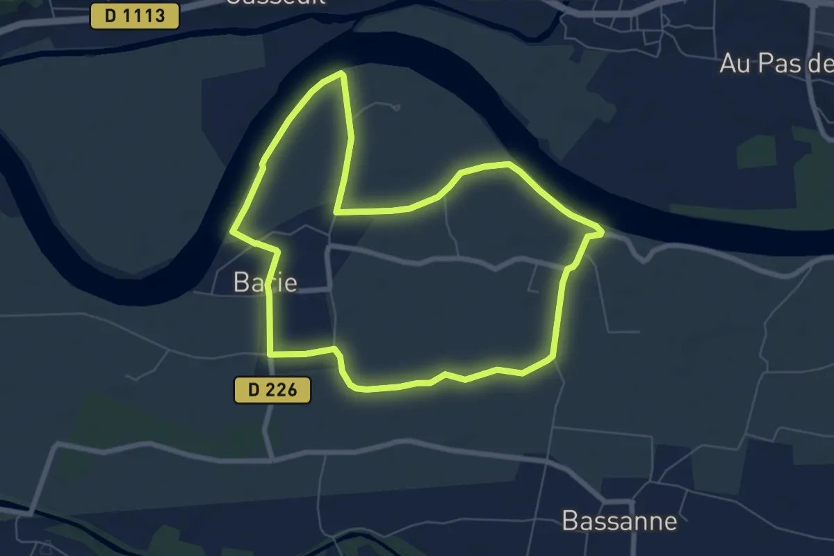
Easy · Trail
L'Imbarradys : boucle locale
7.0 km · ↑ 0 m · 1 h 45 min · 10 km away
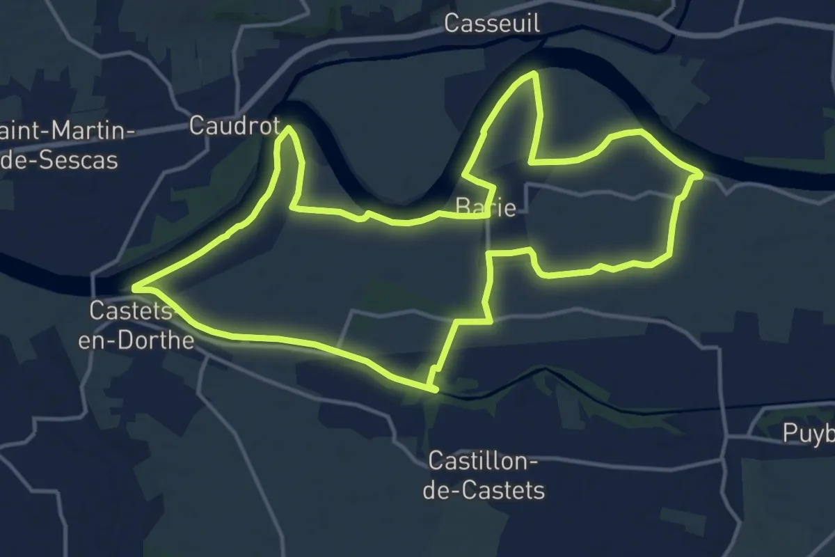
Medium · Trail
Les Eaux Mêlées : boucle locale
15.7 km · ↑ 35 m · 4 h · 10 km away
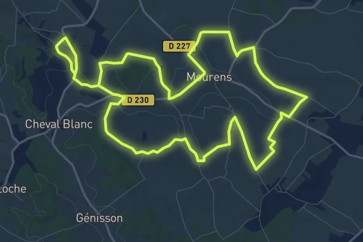
Demanding · Trail
Monpezat : boucle locale
23.9 km · ↑ 375 m · 6 h 28 min · 11 km away
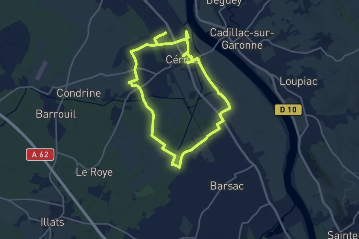
Demanding · Trail
Boucle locale de Cérons
21.3 km · ↑ 43 m · 5 h 8 min · 12 km away
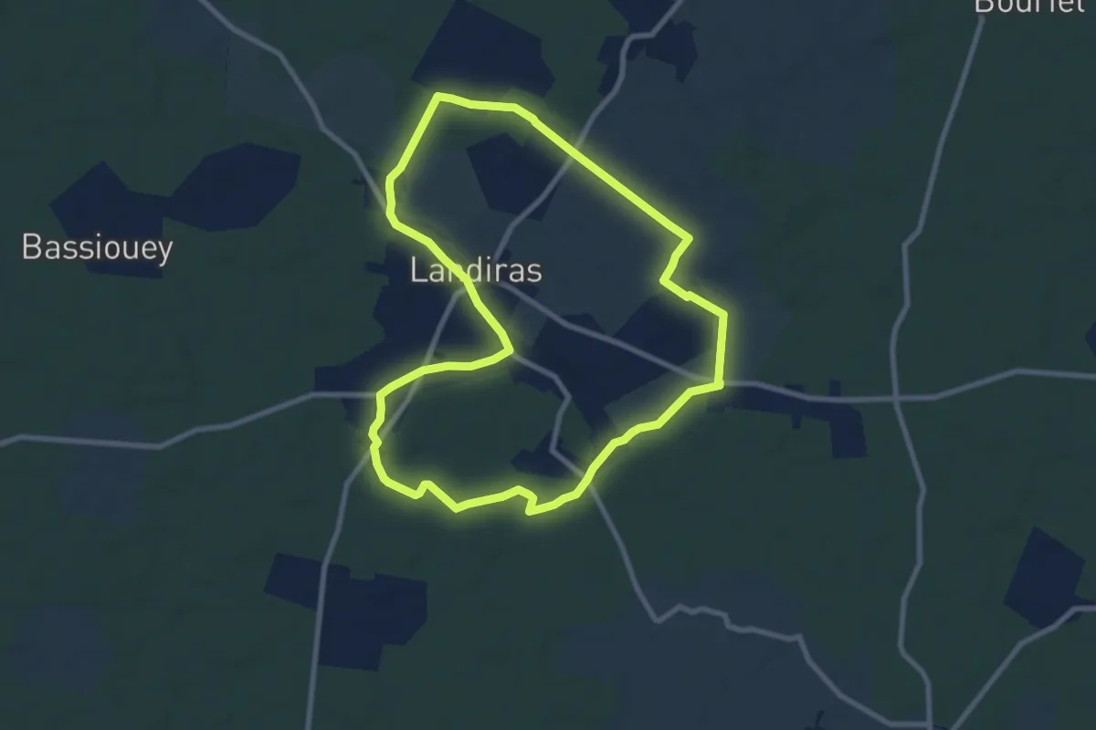
Medium · Trail
Boucle de Landiras nº 1 : boucle locale
8.9 km · ↑ 38 m · 2 h 18 min · 12 km away
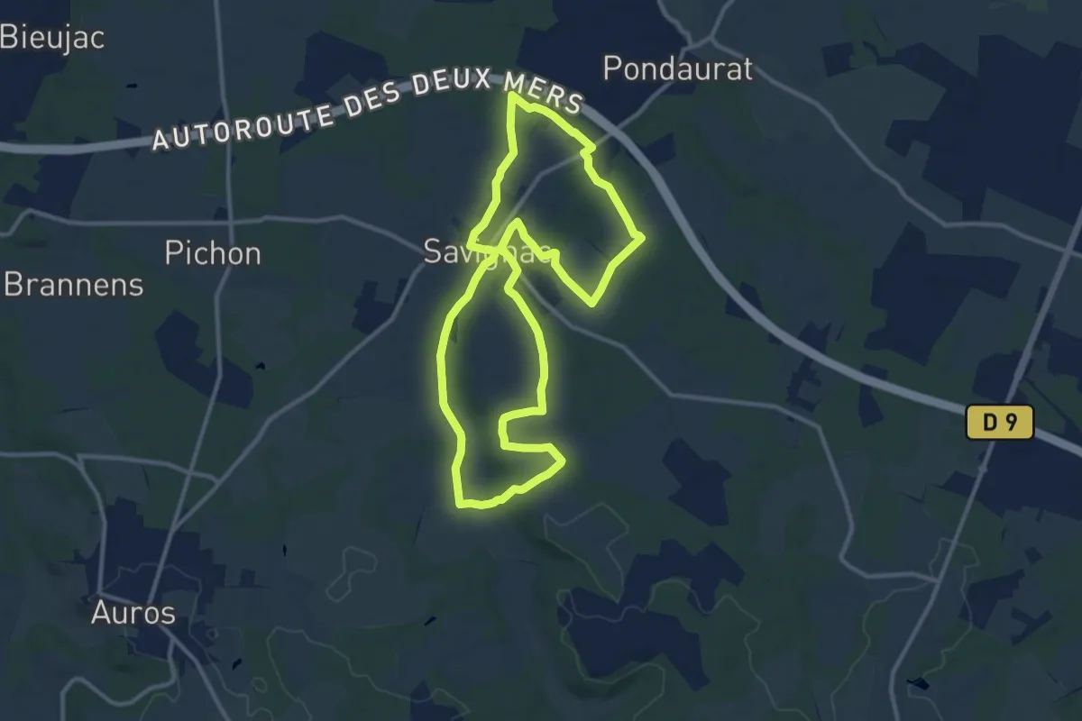
Medium · Trail
Boucle la Bassanne
11.4 km · ↑ 134 m · 3 h 9 min · 12 km away
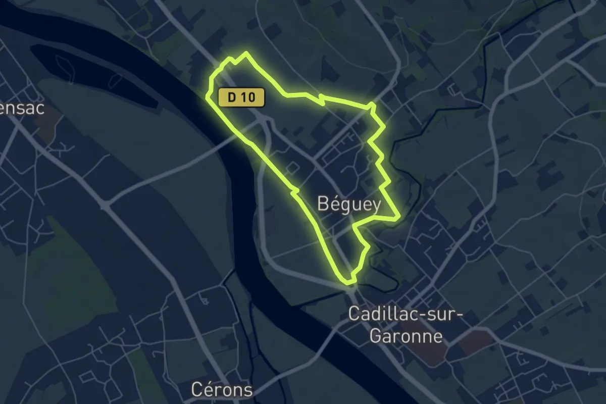
Easy · Trail
Boucle locale de Béguey
5.5 km · ↑ 31 m · 1 h 27 min · 12 km away
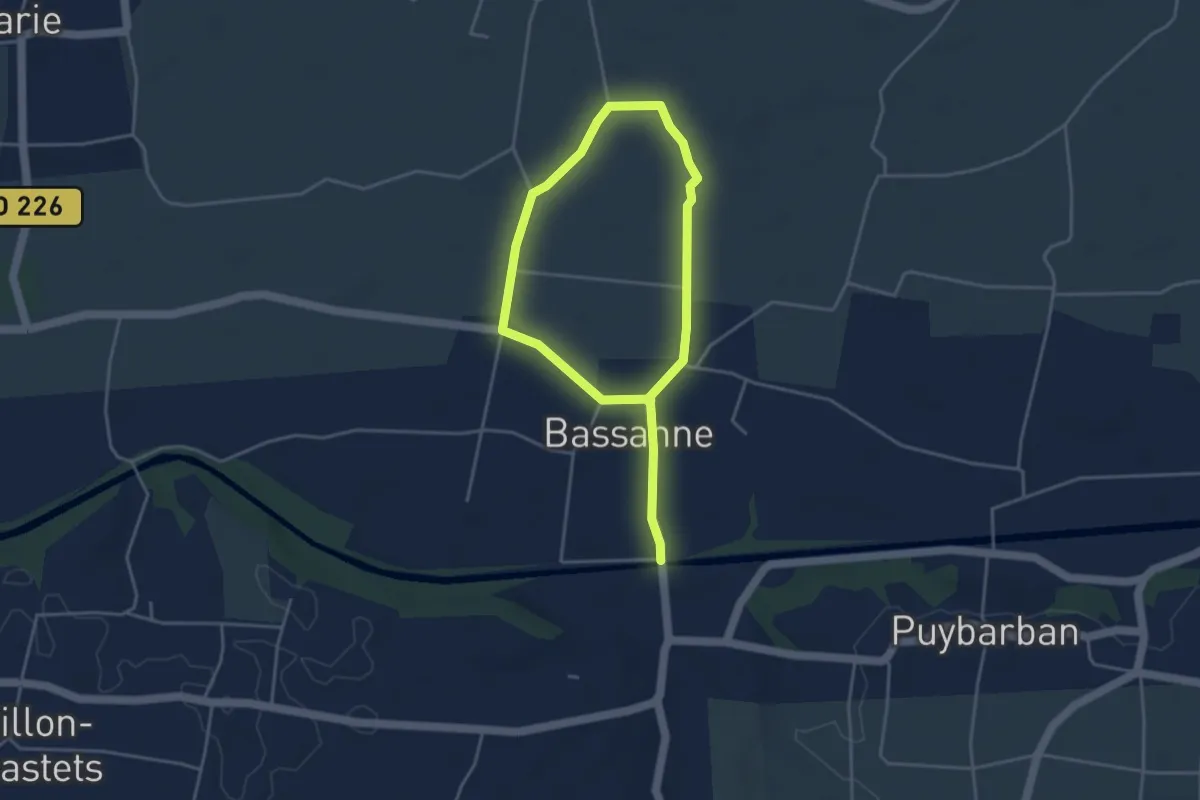
Easy · Trail
Le Moulin de Piis : boucle locale
6.2 km · ↑ 0 m · 1 h 28 min · 12 km away
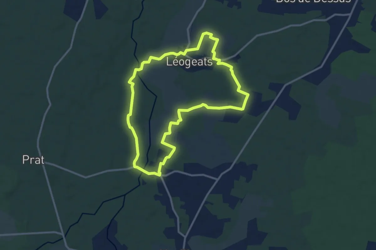
Medium · Trail
Les Radjayres : boucle locale
8.9 km · ↑ 54 m · 2 h 20 min · 12 km away
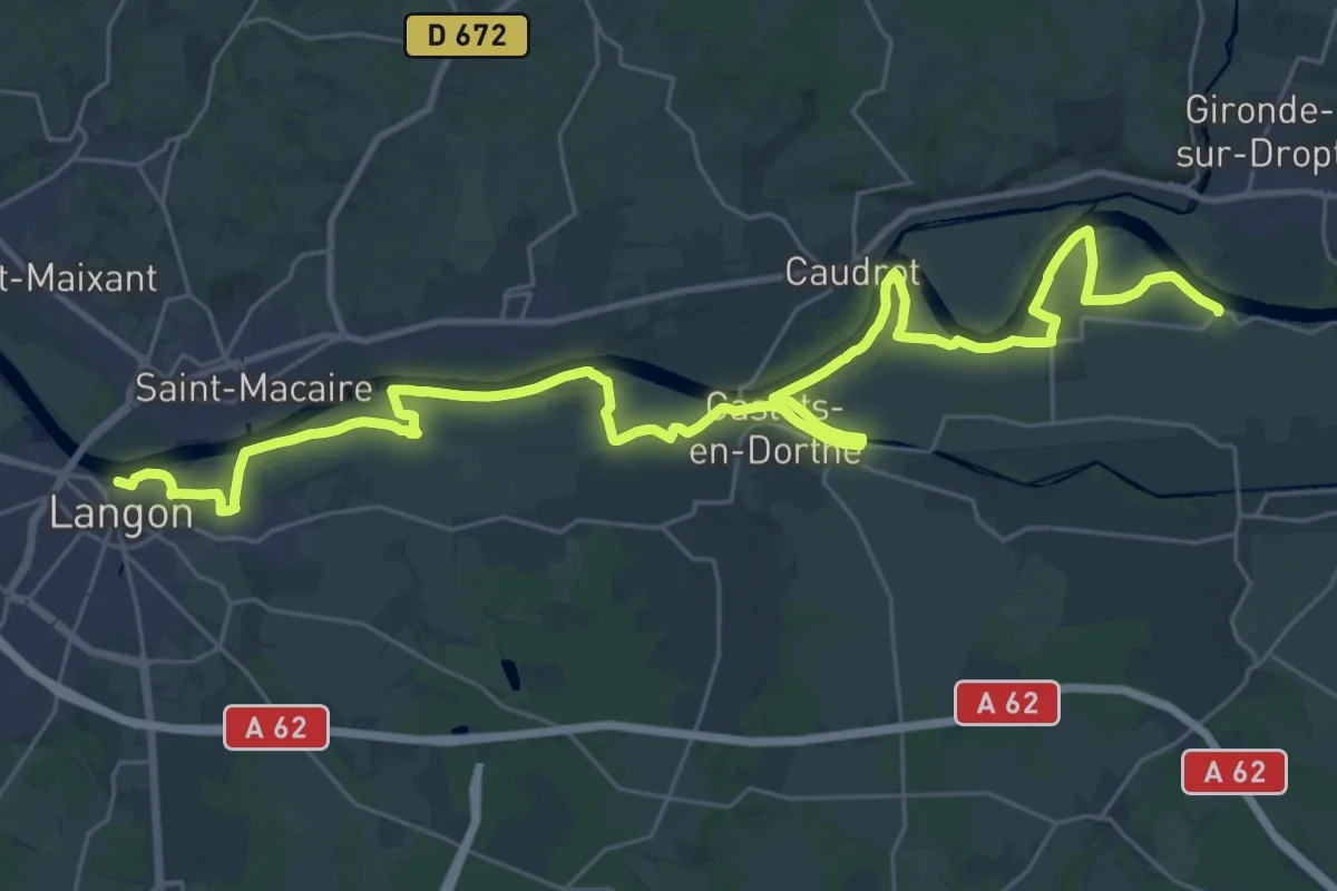
Demanding · Trail
Les Gabares : circuit départemental
21.1 km · ↑ 54 m · 5 h 23 min · 12 km away
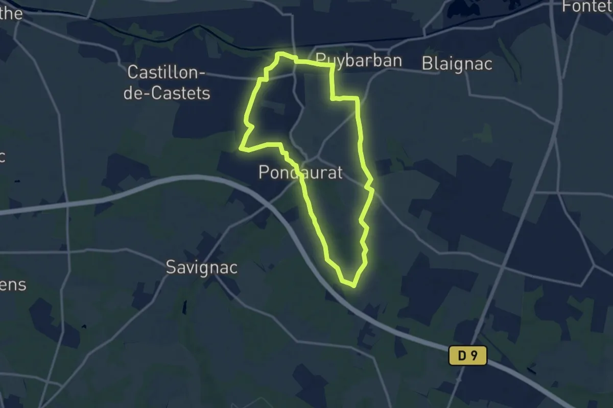
Medium · Trail
Boucle des Deux Églises
10.6 km · ↑ 85 m · 2 h 50 min · 13 km away
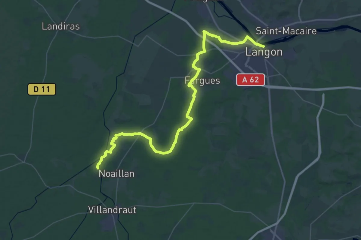
Demanding · Trail
Les Arrius : circuit départemental
22.6 km · ↑ 120 m · 5 h 55 min · 13 km away
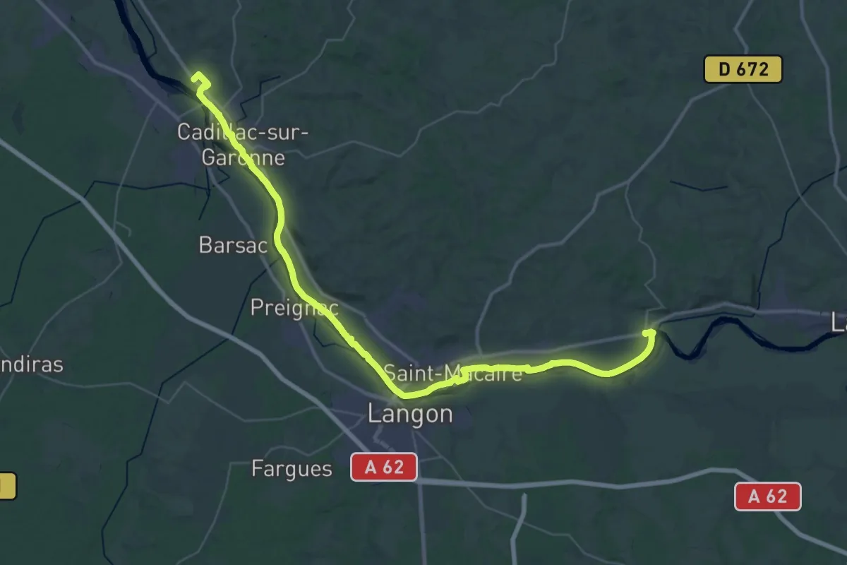
Demanding · Trail
Des Bords de Garonne : circuit départemental
25.3 km · ↑ 73 m · 6 h 29 min · 14 km away