Trails near Le Bugue
25 hikes starting within 15 km, nearest first.
Nearest first
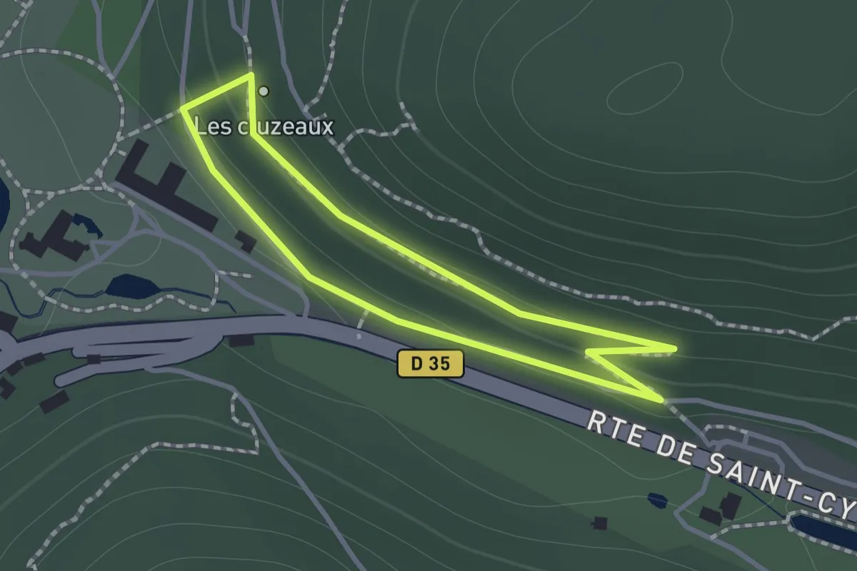
Easy · Trail
Boucle des Cluzeaux
1.0 km · ↑ 35 m · 20 min · 3 km away
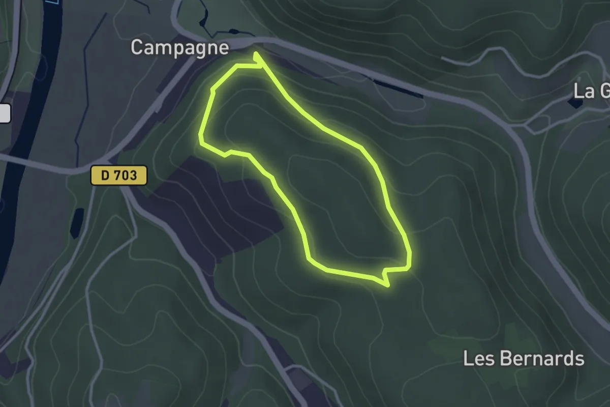
Easy · Trail
Boucle de la Marquise
2.5 km · ↑ 113 m · 53 min · 4 km away
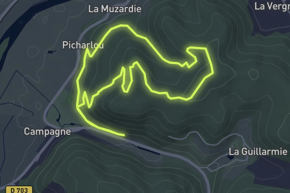
Easy · Trail
Boucle du Polissoir
5.1 km · ↑ 167 m · 1 h 38 min · 4 km away
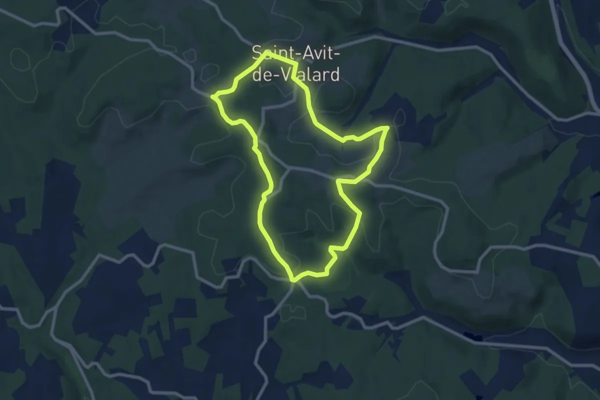
Easy · Trail
Boucle de Vialard
6.9 km · ↑ 120 m · 1 h 59 min · 5 km away
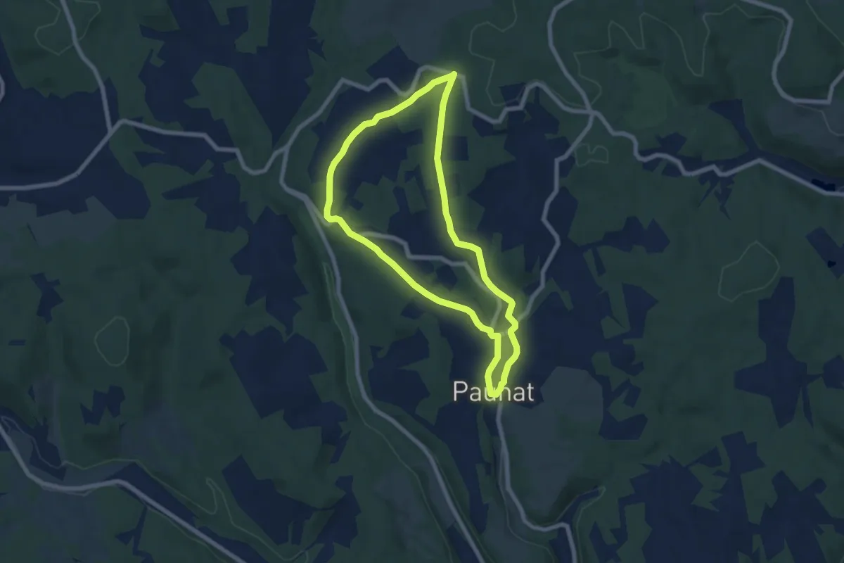
Easy · Trail
Boucle des Bénédictins
6.4 km · ↑ 106 m · 1 h 49 min · 6 km away
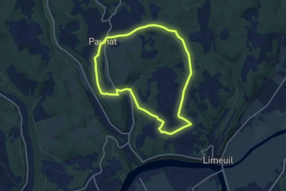
Easy · Trail
Boucle Bertrandoux
7.7 km · ↑ 148 m · 2 h 15 min · 6 km away
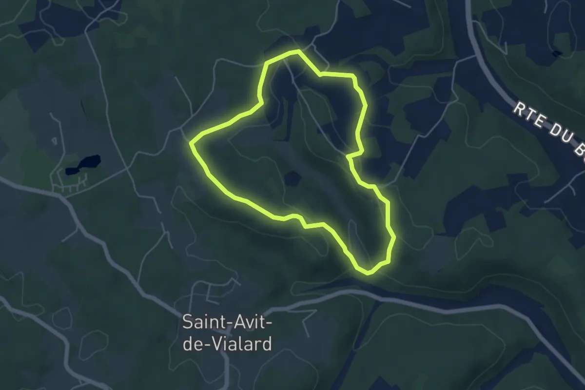
Easy · Trail
Boucle de Saint-Mont
4.4 km · ↑ 106 m · 1 h 20 min · 6 km away
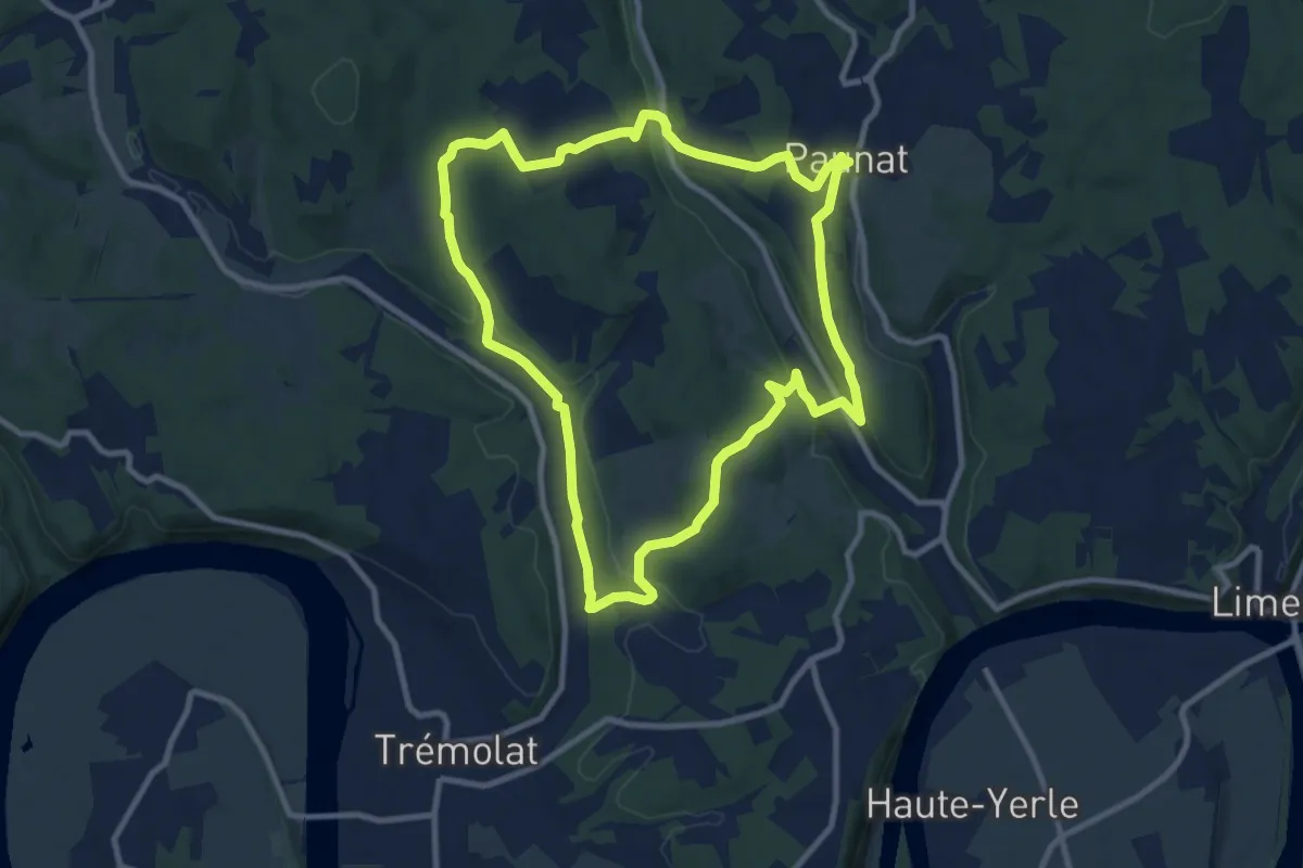
Medium · Trail
Boucle Des Montoises
10.1 km · ↑ 257 m · 3 h 5 min · 7 km away
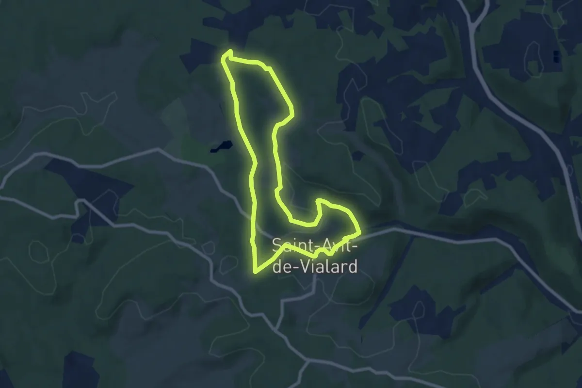
Easy · Trail
Boucle la Font du But
6.6 km · ↑ 100 m · 1 h 52 min · 7 km away
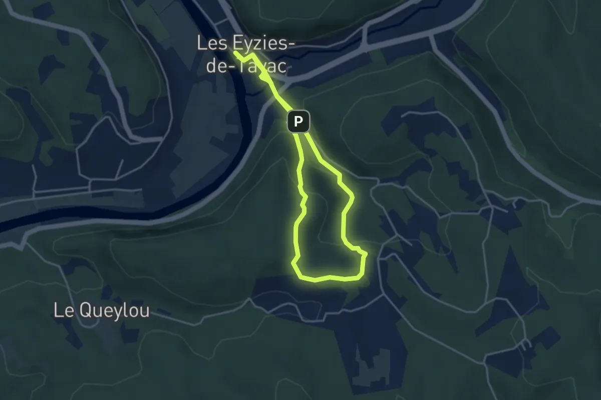
Easy · Trail
Boucle de la Mouthe
3.7 km · ↑ 127 m · 1 h 13 min · 7 km away
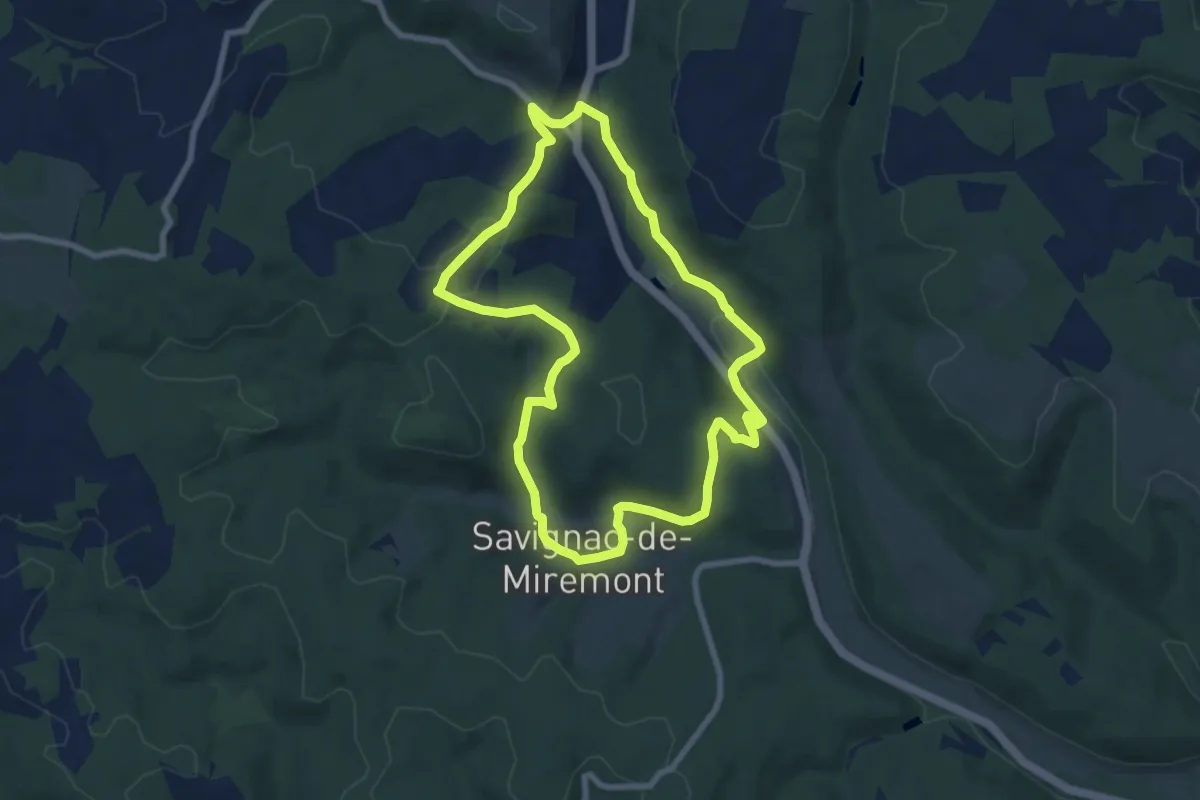
Easy · Trail
Boucle de Combejadouille
7.7 km · ↑ 205 m · 2 h 23 min · 7 km away
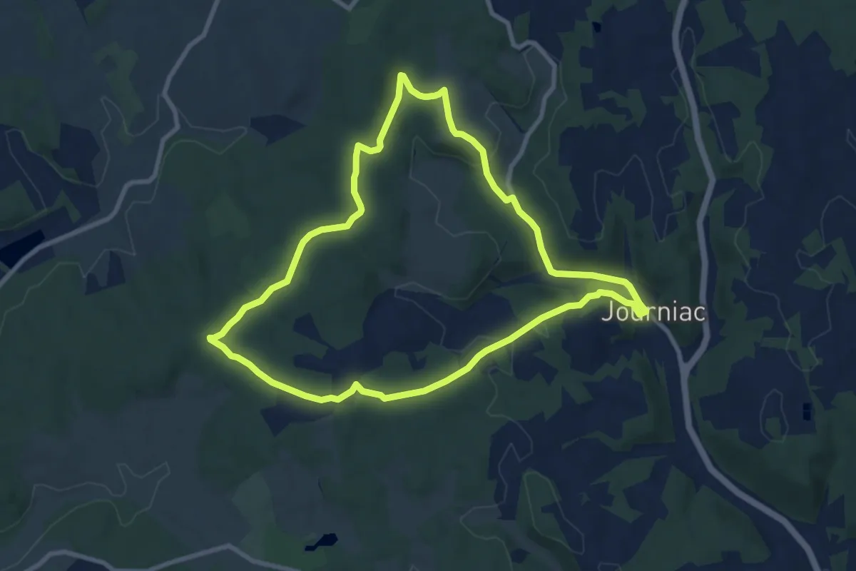
Medium · Trail
Boucle de Péchorel
8.4 km · ↑ 160 m · 2 h 27 min · 8 km away
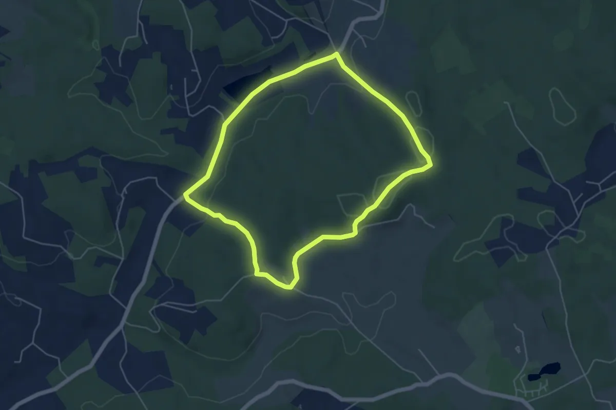
Easy · Trail
Boucle du Maquis
4.9 km · ↑ 91 m · 1 h 25 min · 8 km away
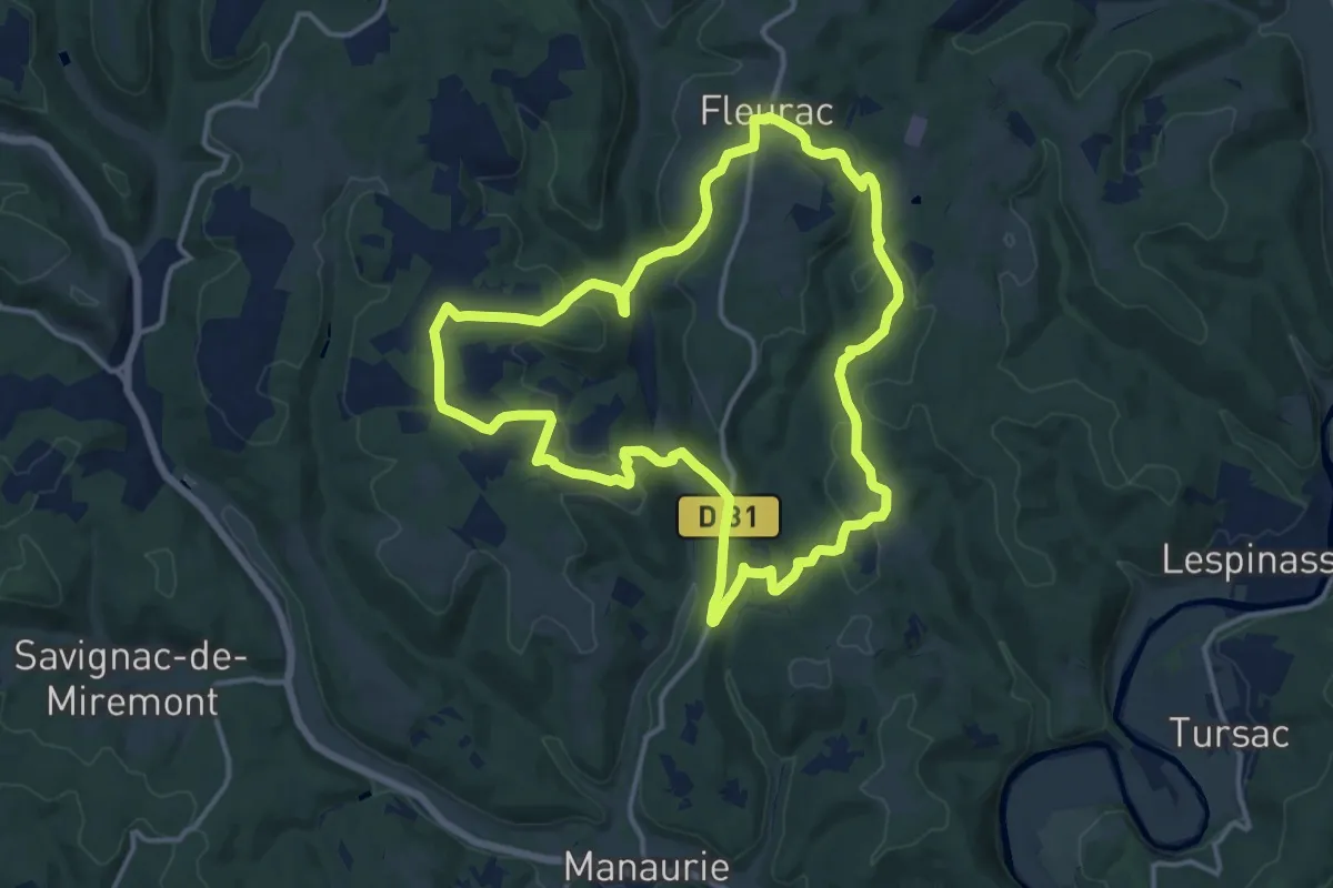
Medium · Trail
Boucle de Lalande
14.0 km · ↑ 372 m · 4 h 19 min · 9 km away
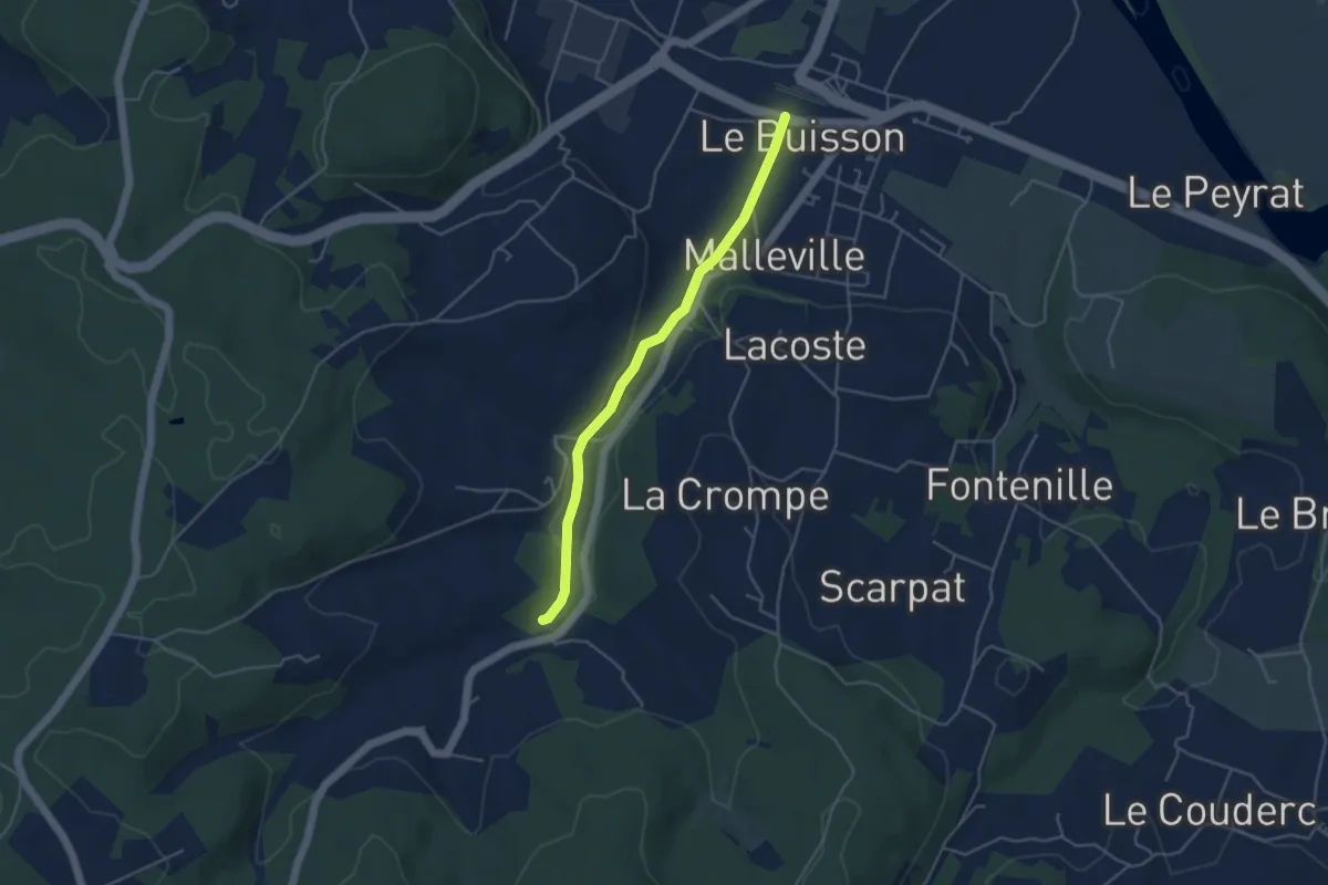
Easy · Trail
Jonction Cadouin - Le Buisson • Chemin d'Amadour
4.2 km · ↑ 41 m · 1 h 5 min · 10 km away
Easy · Trail
Jonction Le Buisson • Chemin d'Amadour
4.2 km · ↑ 41 m · 1 h 5 min · 10 km away
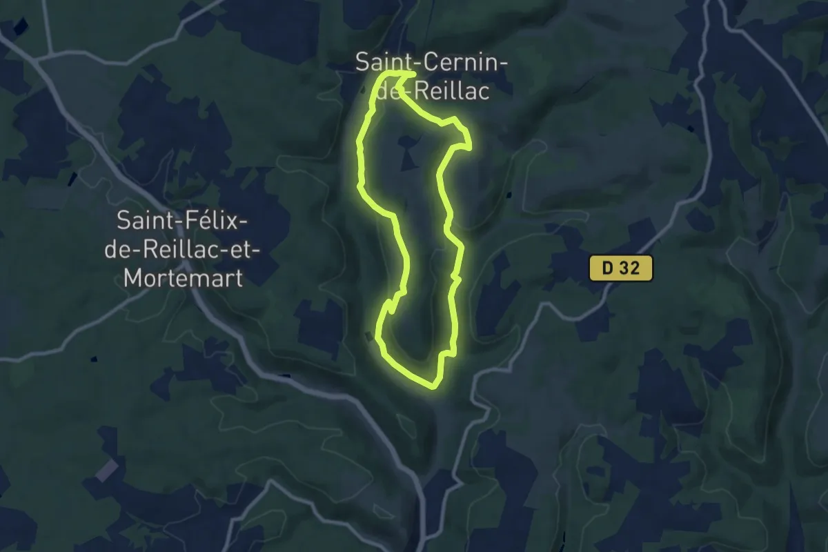
Medium · Trail
Boucle de Saint-Cernin
8.2 km · ↑ 230 m · 2 h 32 min · 11 km away
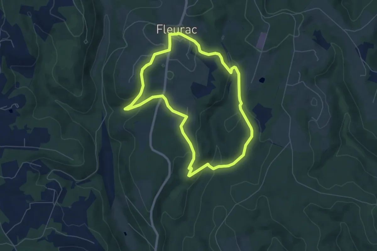
Easy · Trail
Boucle de la Boissonie
6.1 km · ↑ 185 m · 1 h 56 min · 12 km away
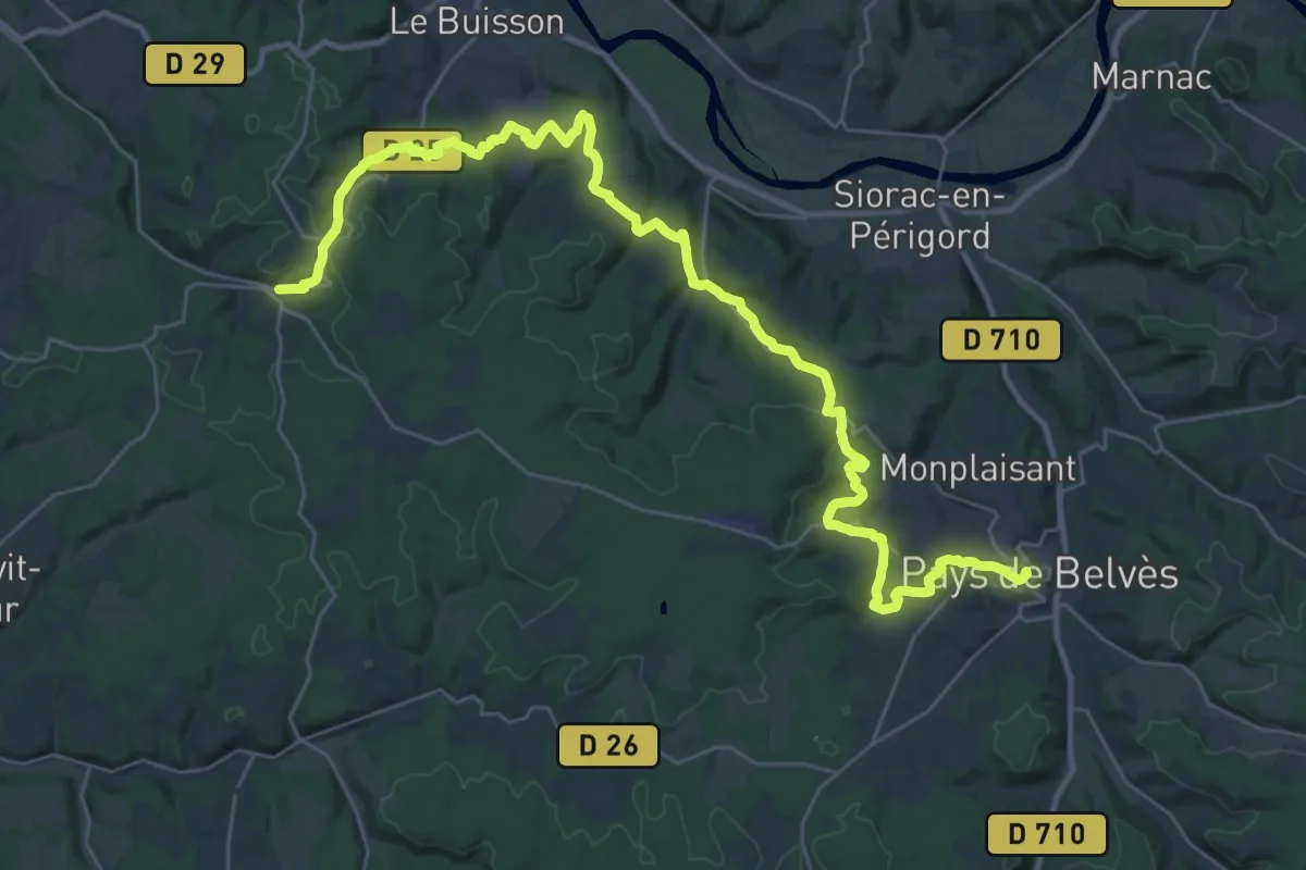
Demanding · Trail
Étape 16 • Chemin d'Amadour
20.6 km · ↑ 488 m · 6 h 11 min · 13 km away
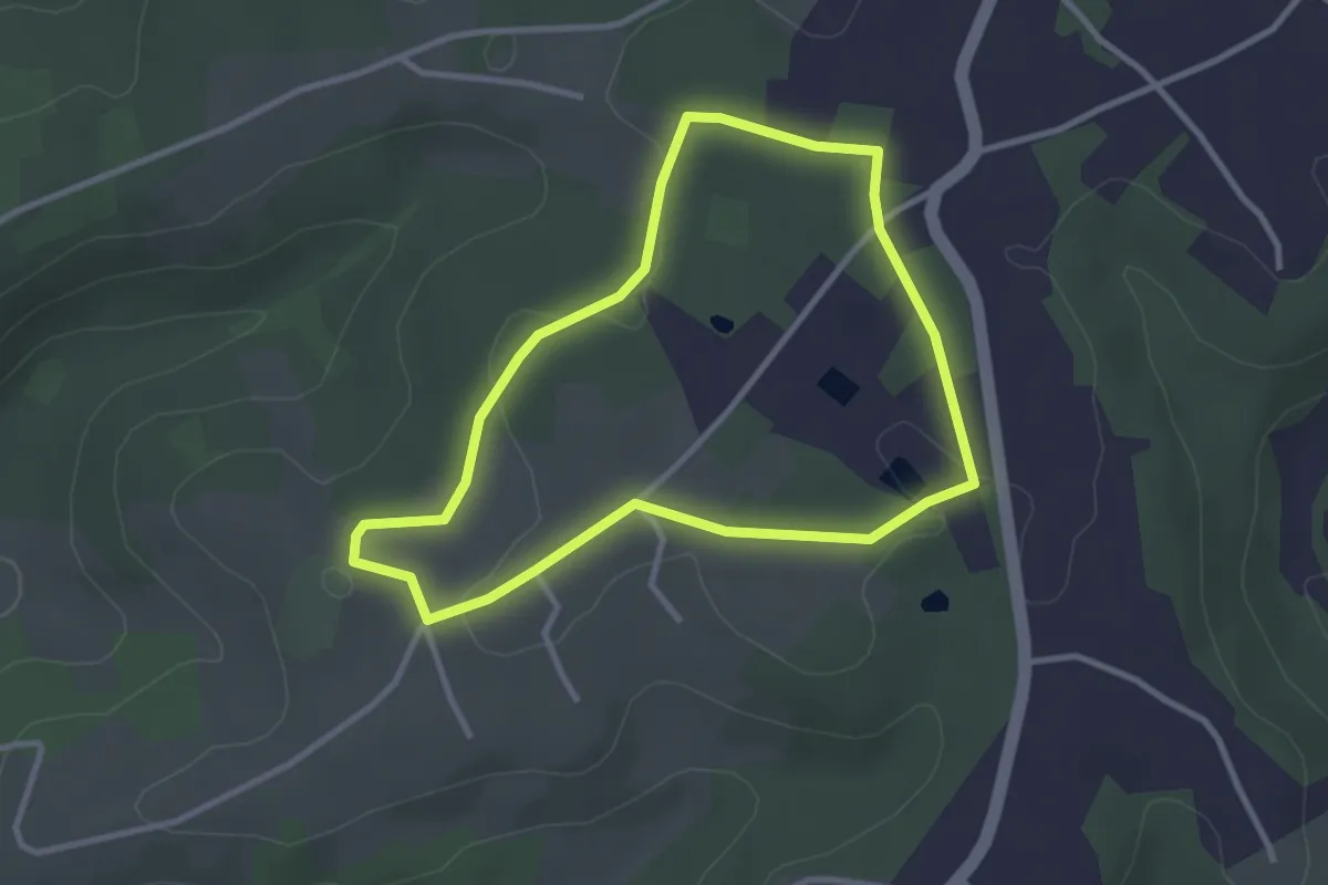
Easy · Trail
Boucle des Mammouths
3.0 km · ↑ 19 m · 47 min · 13 km away
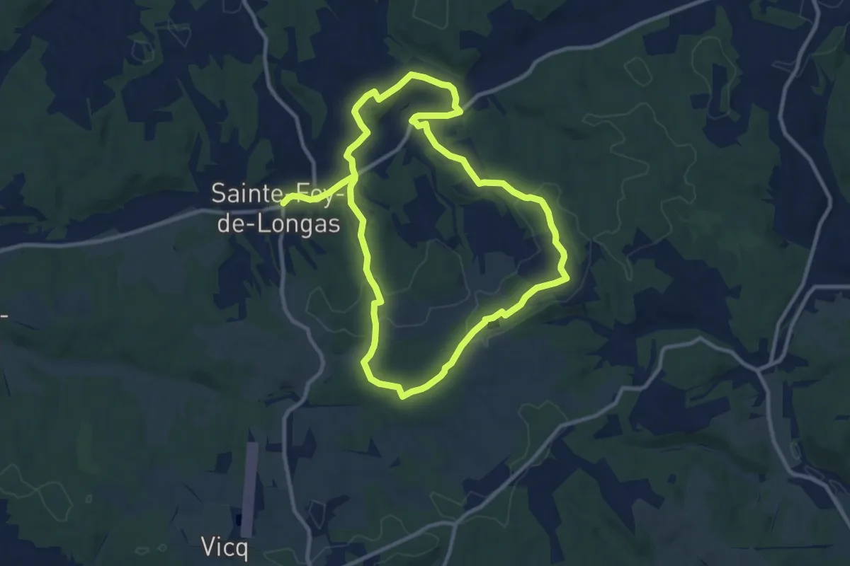
Demanding · Trail
Château de Longas
19.1 km · ↑ 361 m · 5 h 18 min · 13 km away
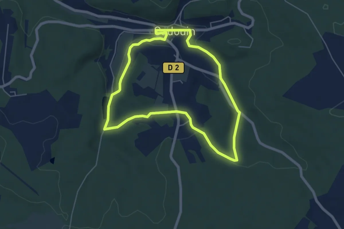
Easy · Trail
Boucle du pélerin
4.6 km · ↑ 79 m · 1 h 20 min · 13 km away
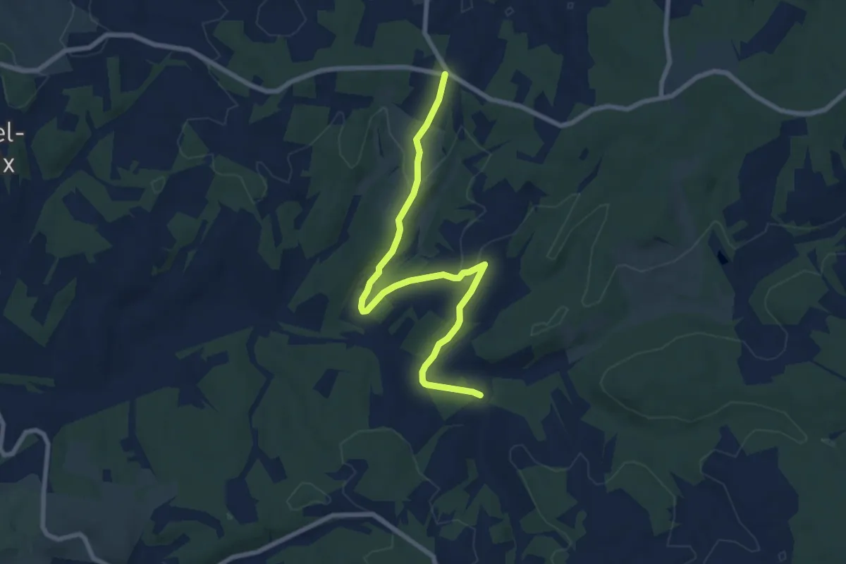
Easy · Trail
Boucle du 45ème Parallèle
7.9 km · ↑ 155 m · 2 h 12 min · 14 km away
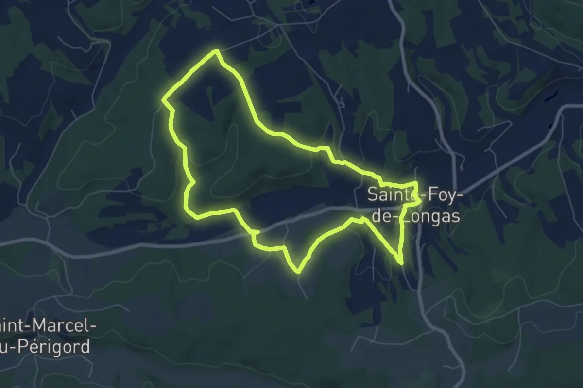
Easy · Trail
Moulin Pommier
7.1 km · ↑ 149 m · 2 h 6 min · 14 km away
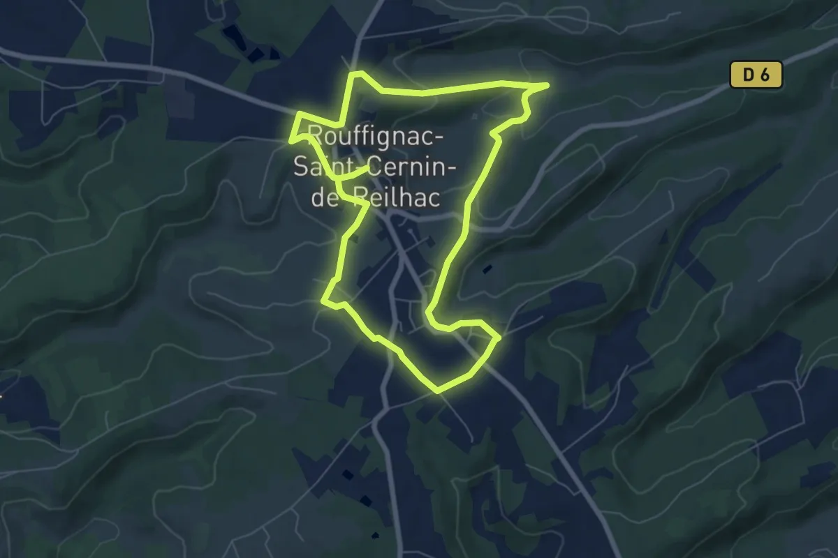
Medium · Trail
Boucle de Pinque
13.4 km · ↑ 299 m · 3 h 48 min · 15 km away