Trails near Le Teil
101 hikes starting within 15 km, nearest first.
Nearest first, page 2 of 3
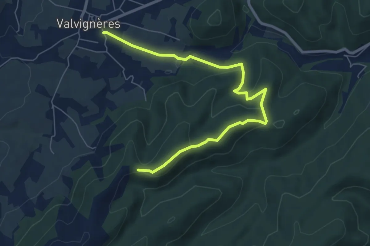
Easy · Trail
Le Colombier - Traversas
7.0 km · ↑ 205 m · 2 h 5 min · 10 km away
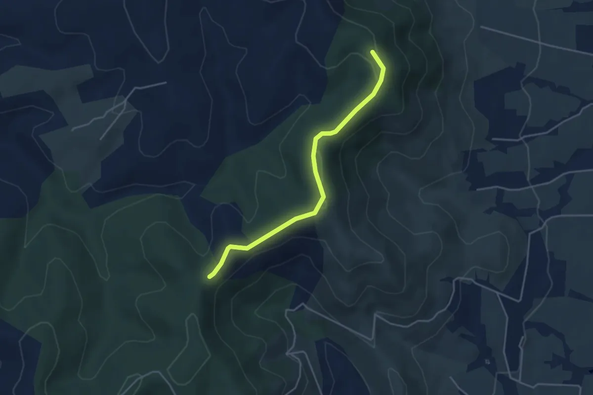
Easy · Trail
Col de l'Épine - Terre d'Aps
3.8 km · ↑ 60 m · 1 h 2 min · 10 km away
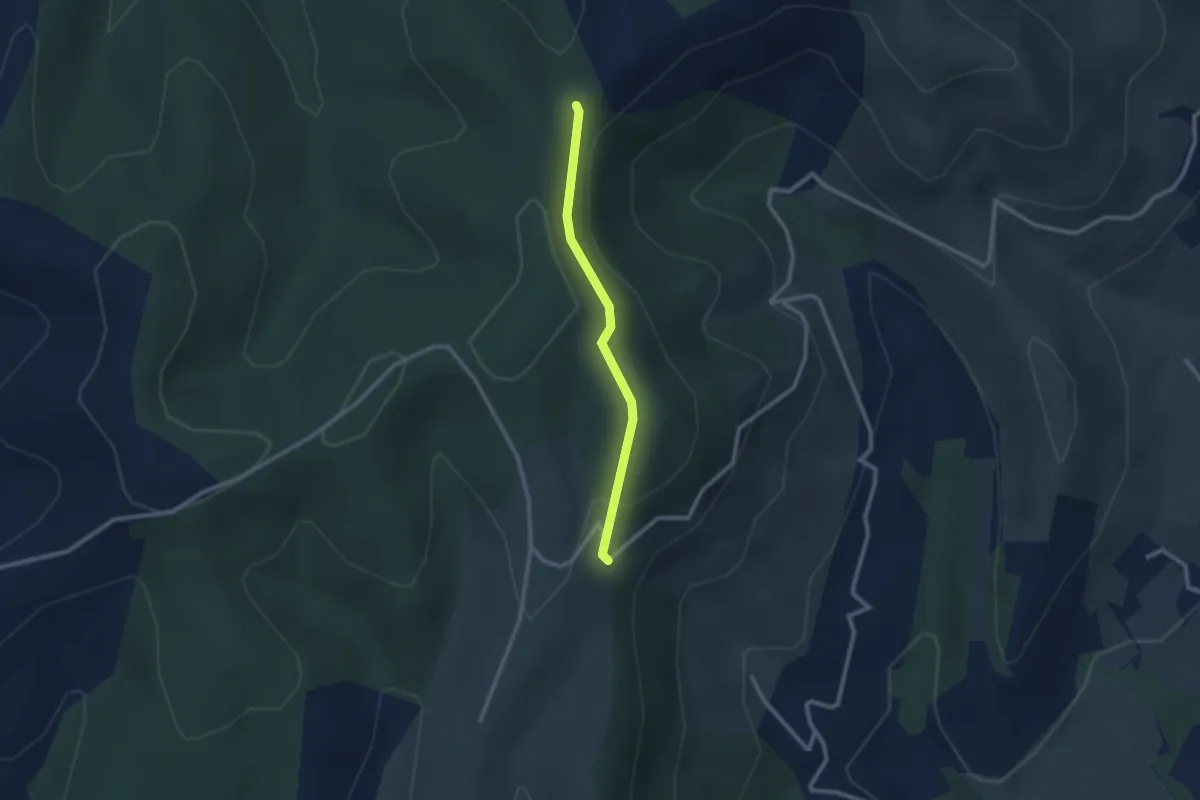
Easy · Trail
Mas Giraud - Col de l'Épine
2.2 km · ↑ 59 m · 39 min · 10 km away
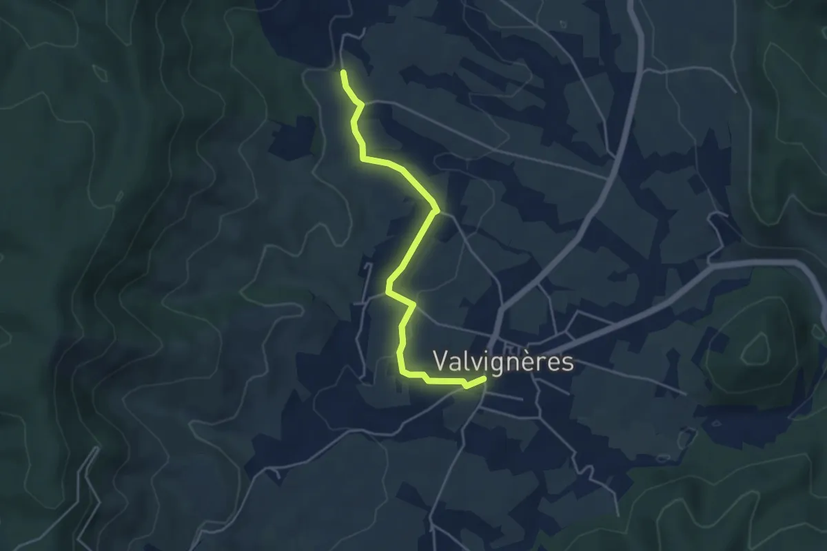
Easy · Trail
L'École - Mias
4.1 km · ↑ 81 m · 1 h 9 min · 10 km away
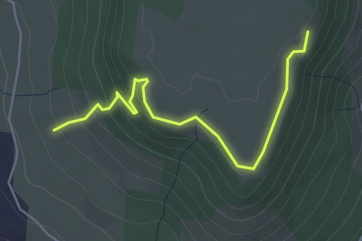
Easy · Trail
La Peyre Haut - Plaine du Regard
3.9 km · ↑ 191 m · 1 h 20 min · 10 km away
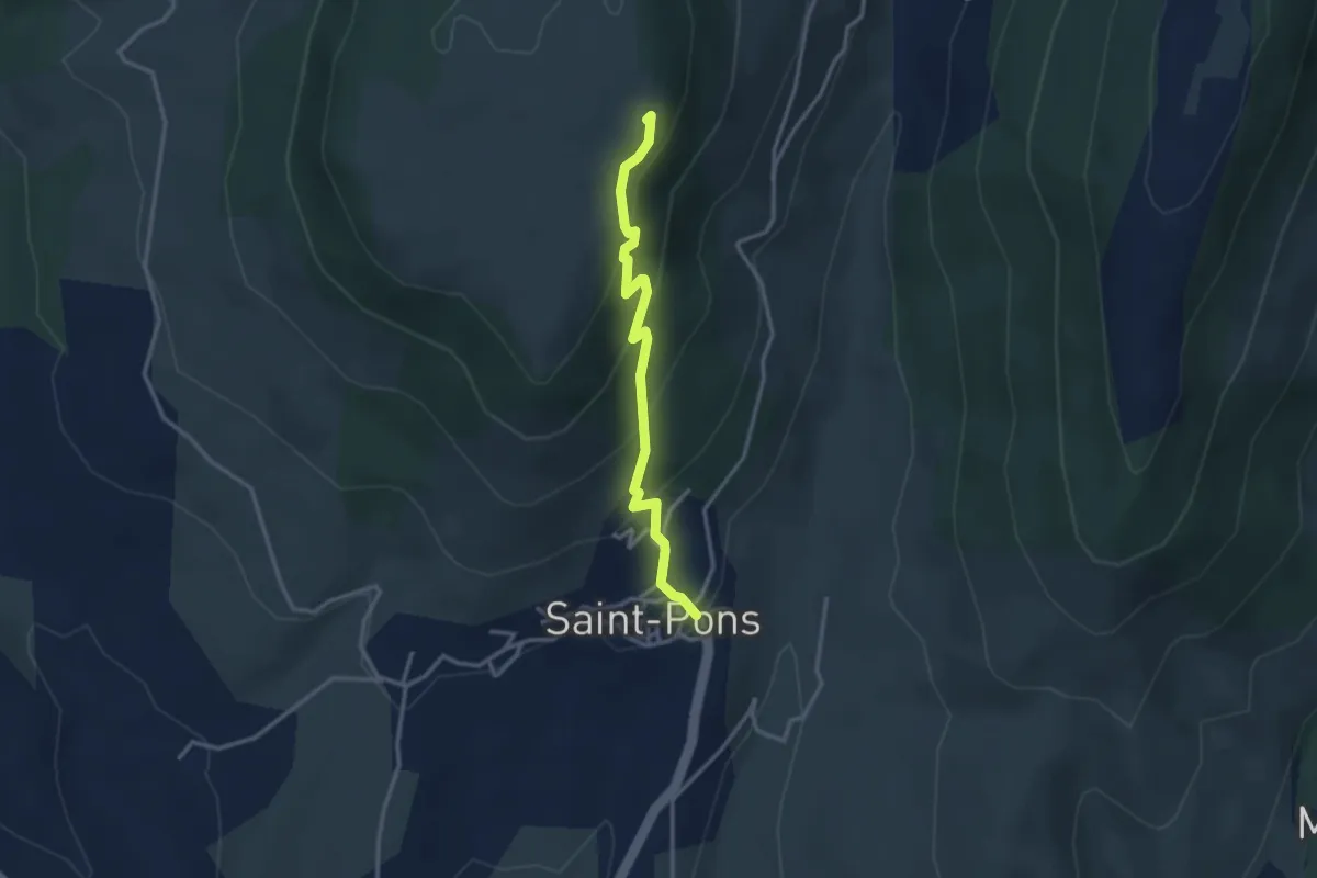
Easy · Trail
Saint-Pons - Plaine du Regard
3.1 km · ↑ 229 m · 1 h 13 min · 10 km away
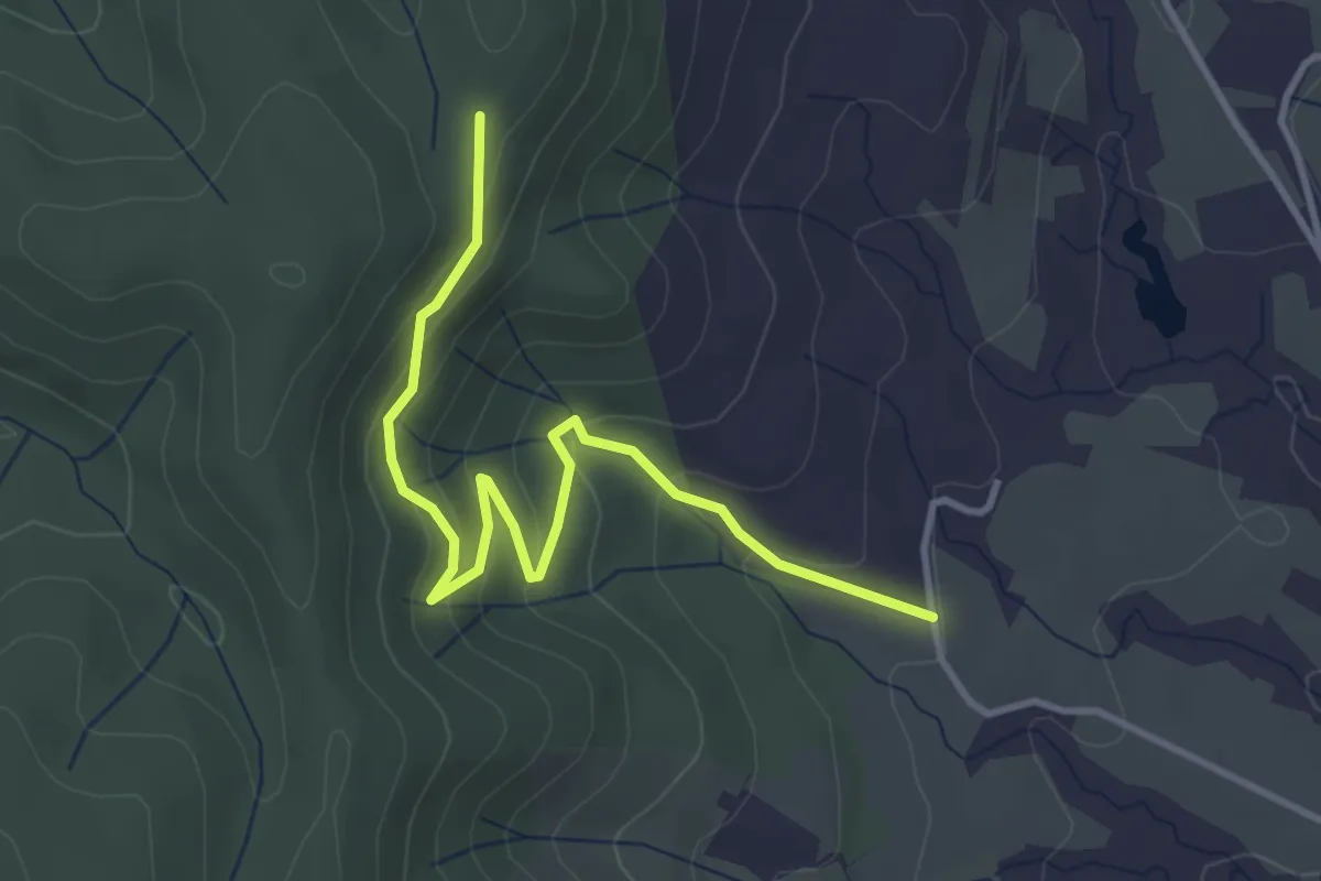
Easy · Trail
Mias - Bétoulet
4.1 km · ↑ 221 m · 1 h 26 min · 11 km away
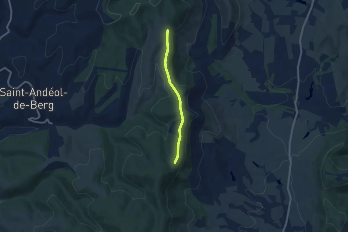
Easy · Trail
Mas Giraud - Bétoulet
4.6 km · ↑ 99 m · 1 h 18 min · 11 km away
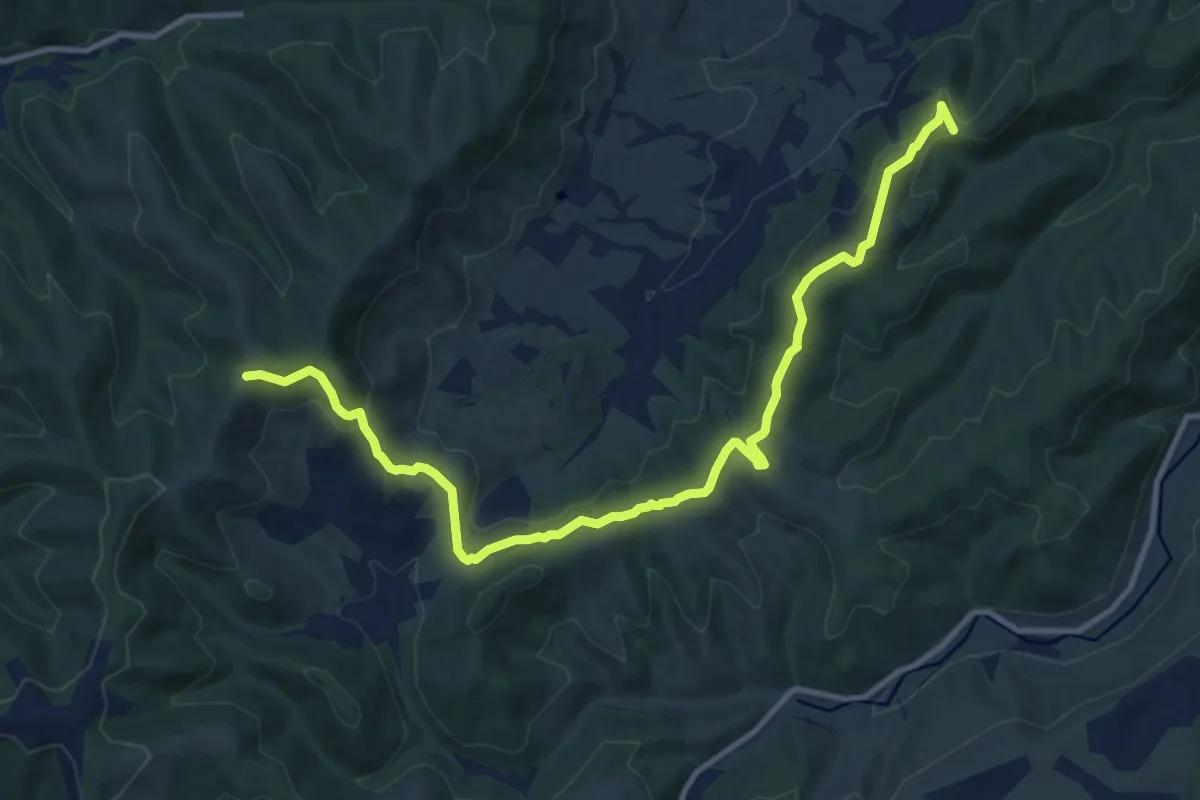
Medium · Trail
Traversas - Les Hermessennes
13.6 km · ↑ 377 m · 4 h 1 min · 11 km away
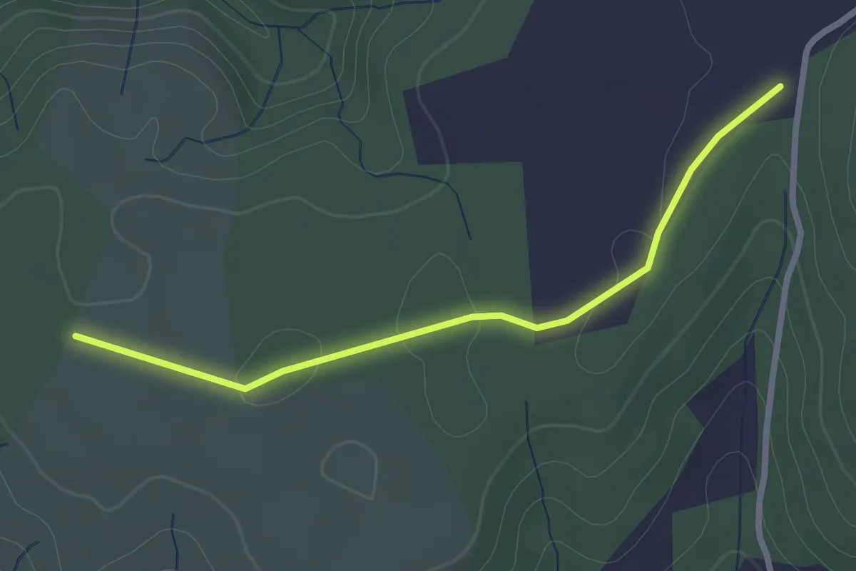
Easy · Trail
Gandaubert - Bayne
2.5 km · ↑ 13 m · 38 min · 11 km away
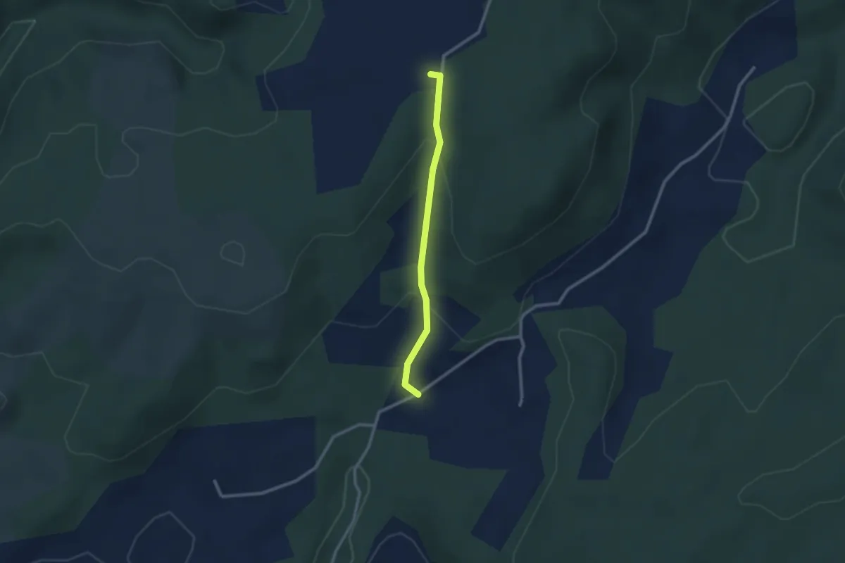
Easy · Trail
Le Moure - Bayne
2.2 km · ↑ 91 m · 44 min · 11 km away
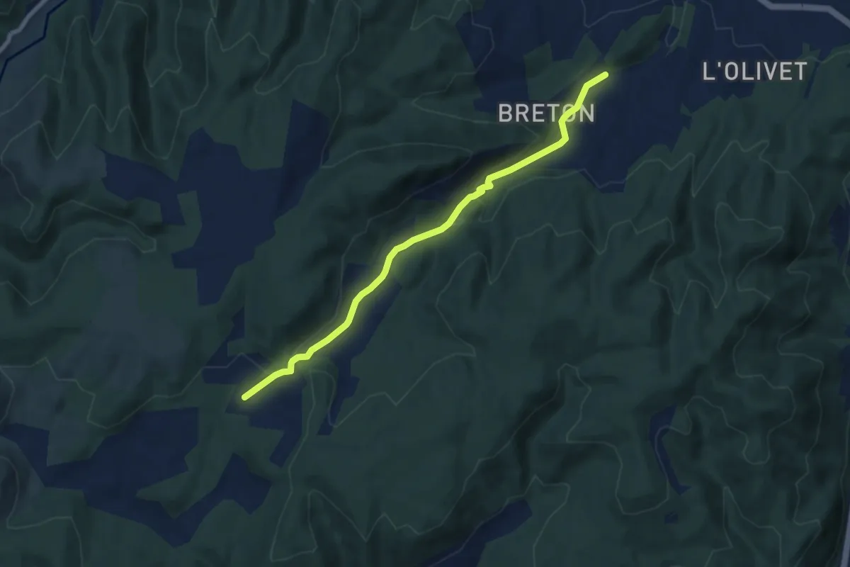
Easy · Trail
Saint-Ostian - Le Moure
7.6 km · ↑ 229 m · 2 h 17 min · 11 km away
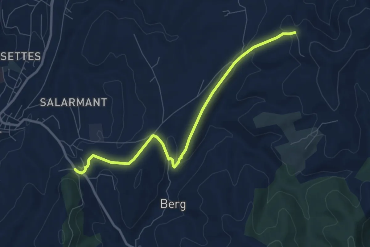
Easy · Trail
Route de Saint-Andeol - Chantuzas
7.8 km · ↑ 167 m · 2 h 13 min · 11 km away
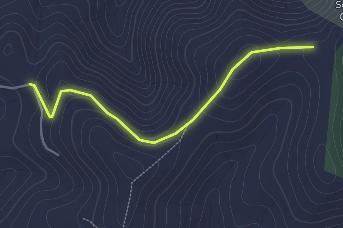
Easy · Trail
Chantuzas - Juliau
3.0 km · ↑ 91 m · 54 min · 11 km away
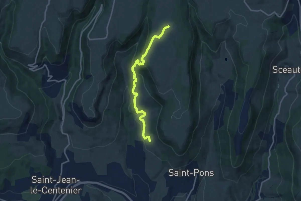
Medium · Trail
La Peyre Haut - Faugère
8.6 km · ↑ 376 m · 2 h 51 min · 11 km away
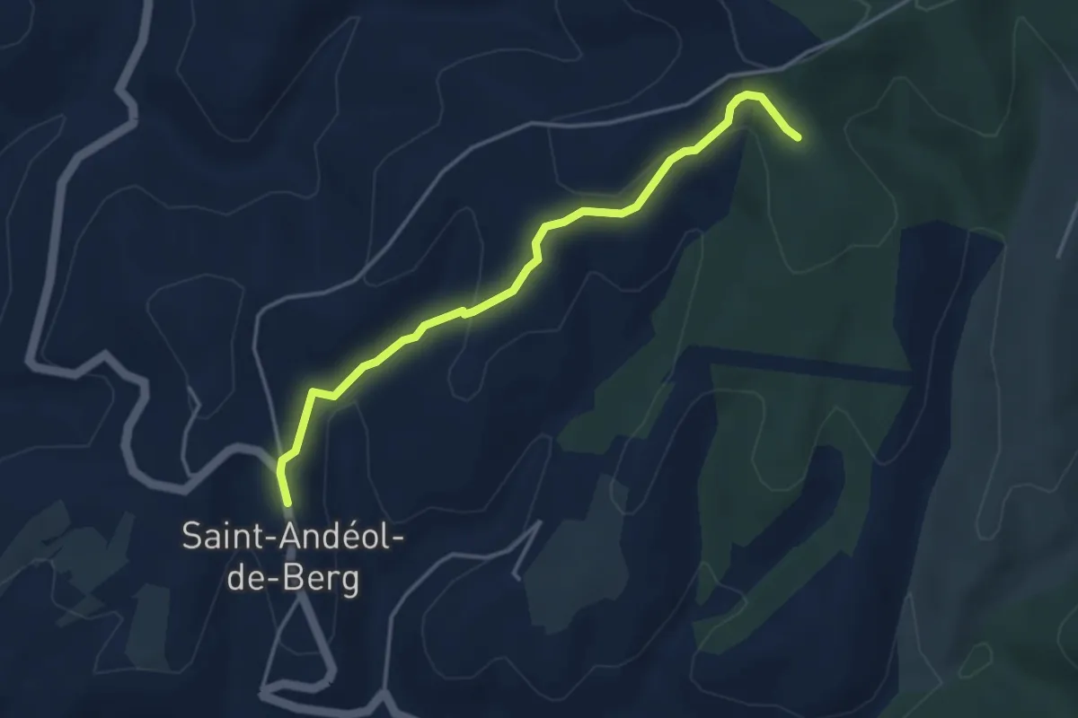
Easy · Trail
Saint-Andéol de Berg - Serrecourt
3.9 km · ↑ 142 m · 1 h 14 min · 11 km away
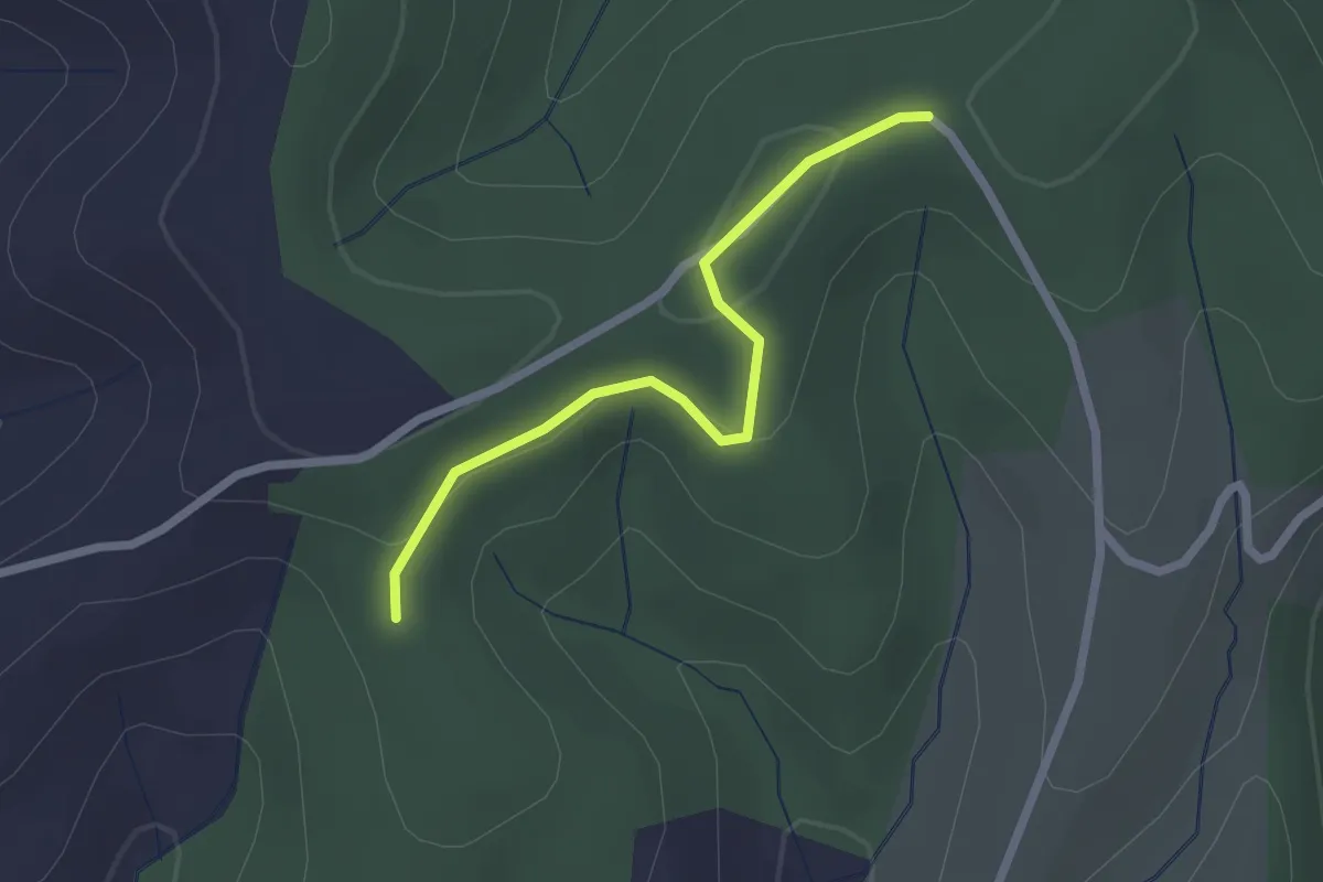
Easy · Trail
Serrecourt - Bois de Berg
2.2 km · ↑ 58 m · 38 min · 11 km away
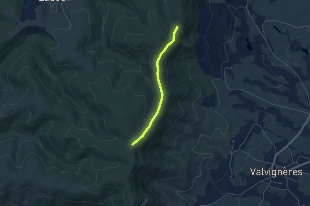
Easy · Trail
Bétoulet - Léouze
3.7 km · ↑ 84 m · 1 h 3 min · 12 km away
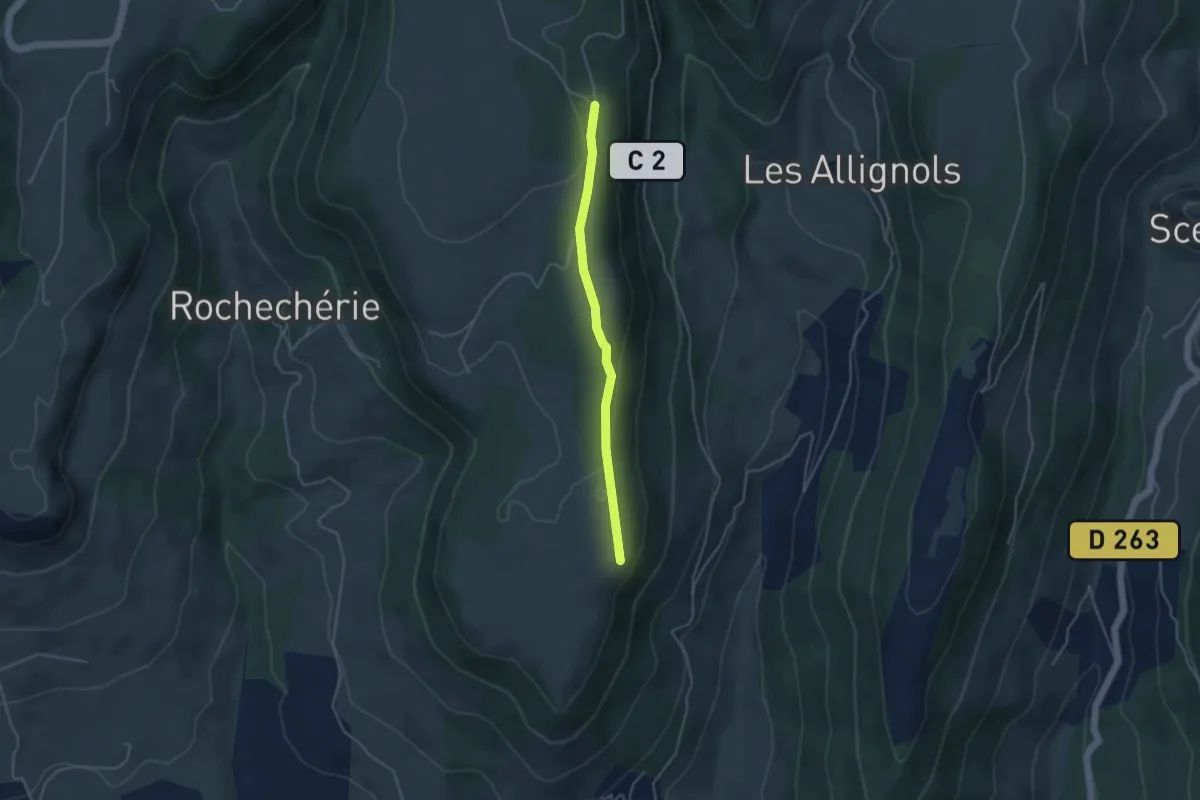
Easy · Trail
Plaine du Regard - Brasse Nègre
3.8 km · ↑ 71 m · 1 h 3 min · 12 km away
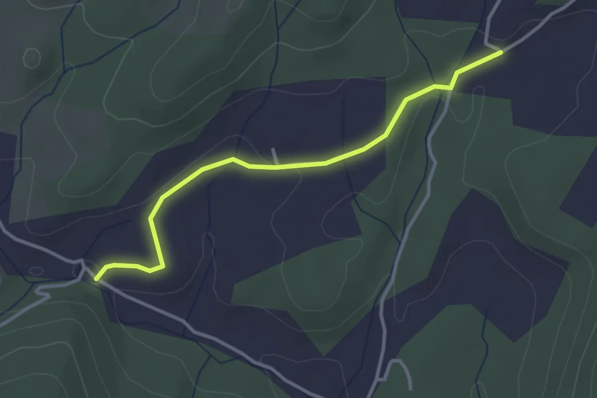
Easy · Trail
Ellieux - Le Moure
3.2 km · ↑ 38 m · 50 min · 12 km away
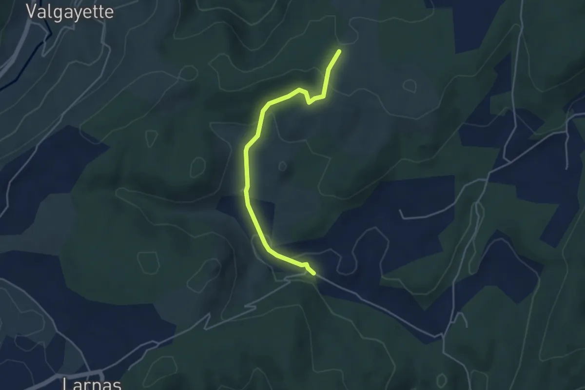
Easy · Trail
Ellieux - Gandaubert
3.9 km · ↑ 109 m · 1 h 10 min · 12 km away
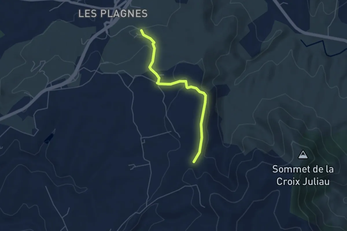
Easy · Trail
Font Nègre - Bourboulet
4.7 km · ↑ 98 m · 1 h 20 min · 12 km away
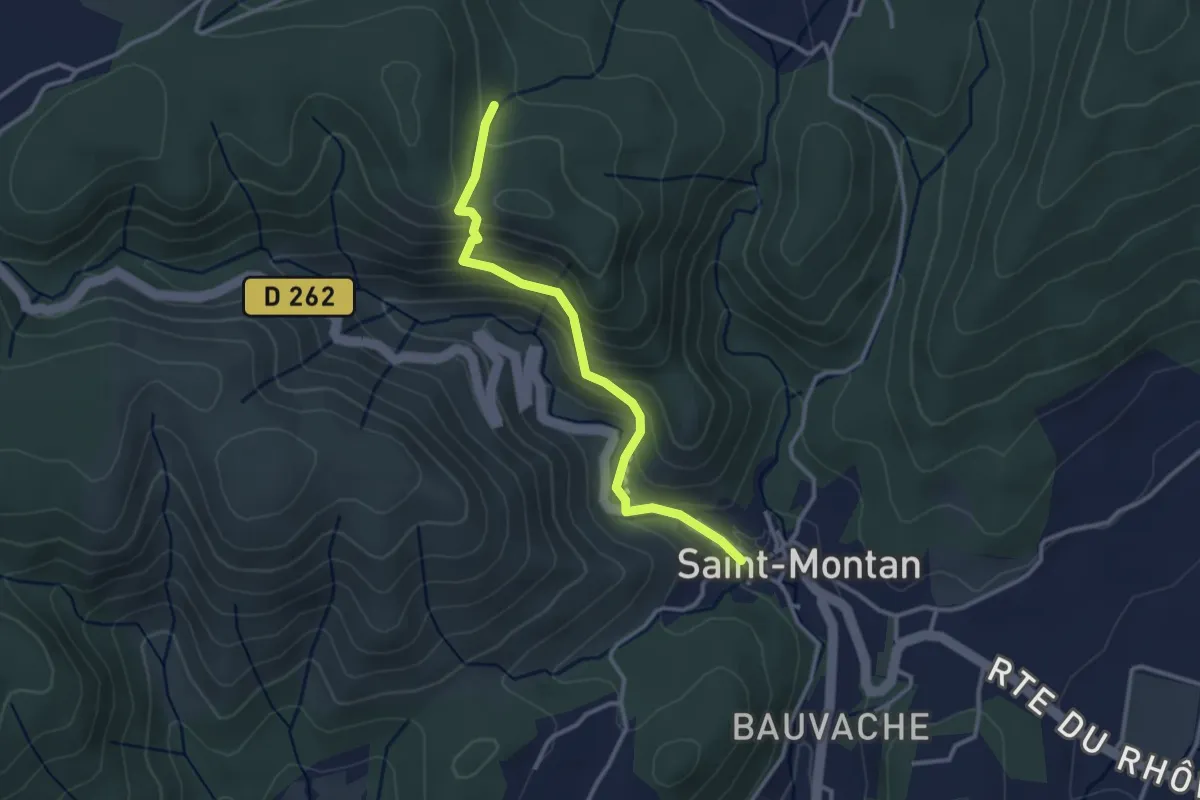
Easy · Trail
Saint-Montan - Bois de Deniéret
3.1 km · ↑ 220 m · 1 h 12 min · 12 km away
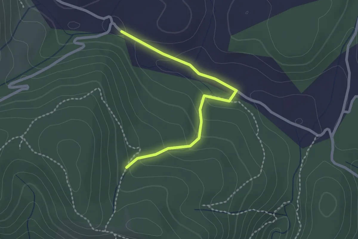
Easy · Trail
Ellieux - Bois de Deniéret
2.2 km · ↑ 85 m · 42 min · 12 km away
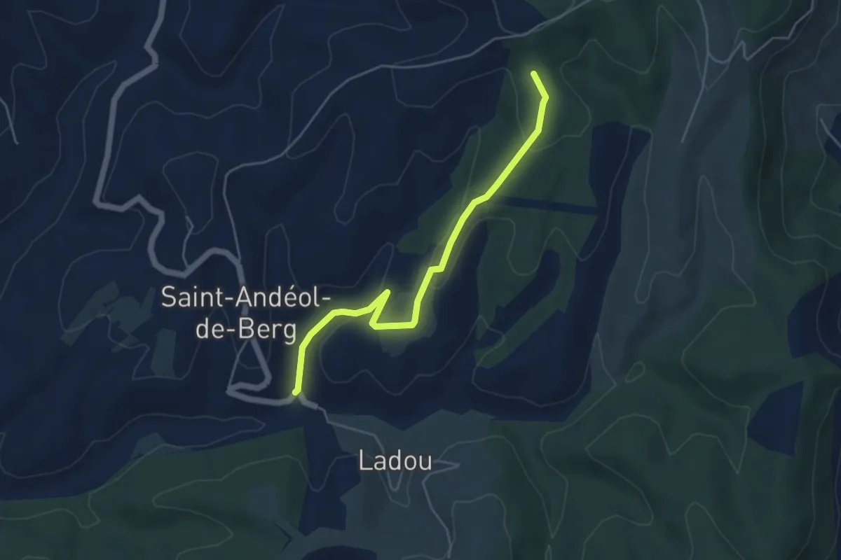
Easy · Trail
Merdaric le Haut - Serrecourt
4.8 km · ↑ 147 m · 1 h 27 min · 12 km away
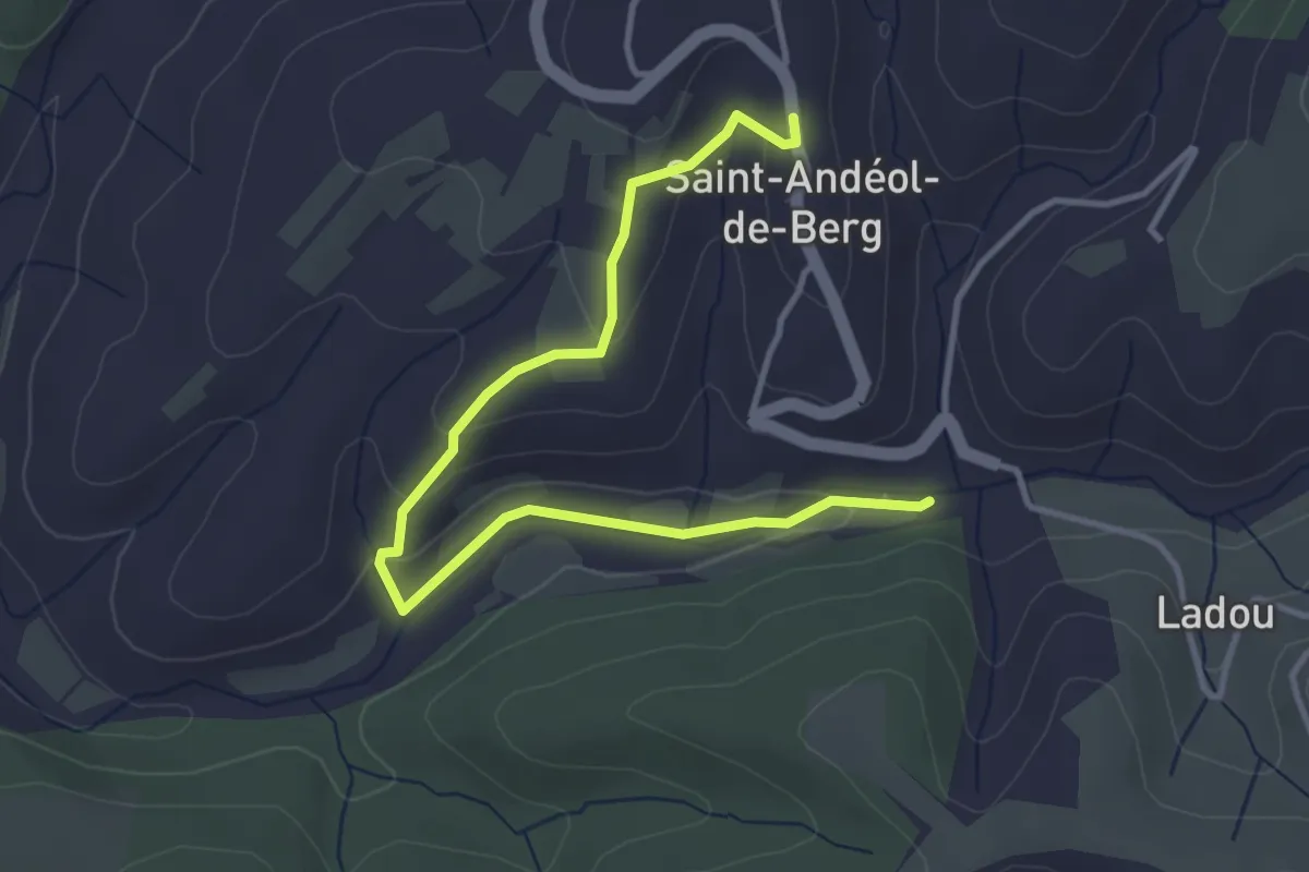
Easy · Trail
Merdaric le Bas - Saint-Andéol de Berg
4.4 km · ↑ 92 m · 1 h 14 min · 12 km away
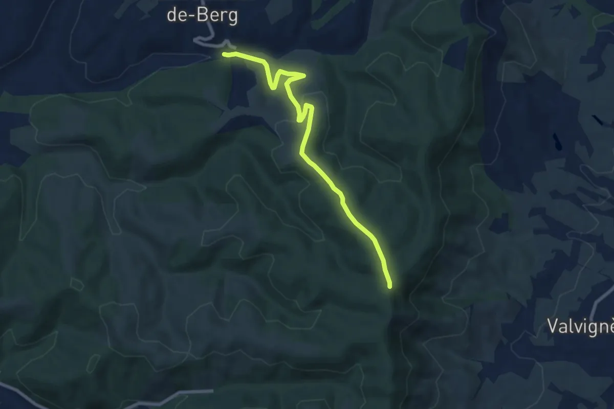
Easy · Trail
Merdaric le Bas - Léouze
7.6 km · ↑ 243 m · 2 h 20 min · 12 km away
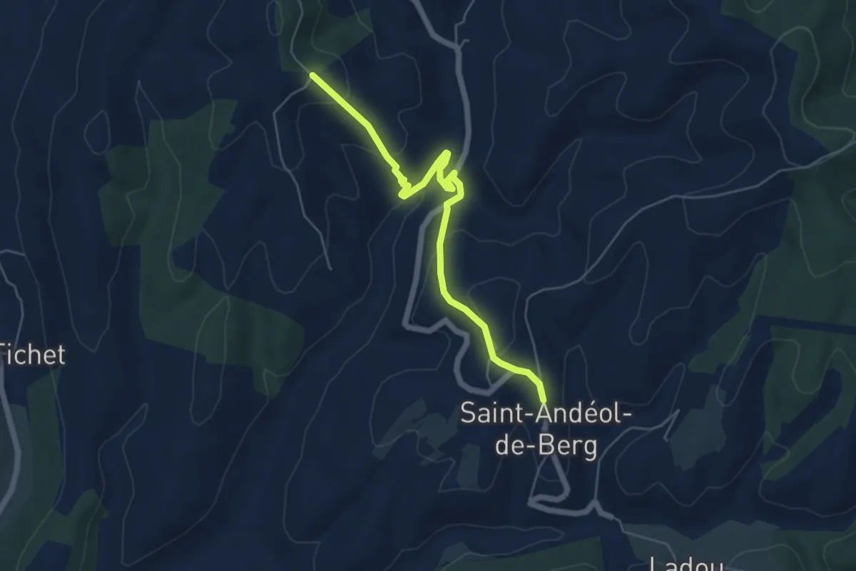
Easy · Trail
Saint-Andéol de Berg - Fournery
5.6 km · ↑ 236 m · 1 h 50 min · 13 km away
Easy · Trail
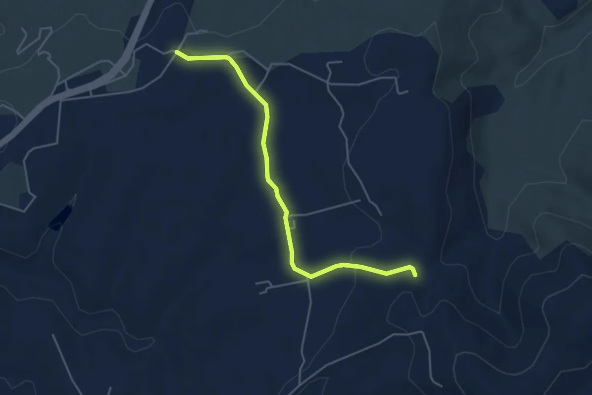
Argence - Bourboulet
4.2 km · ↑ 69 m · 1 h 9 min · 13 km away
Medium · Trail
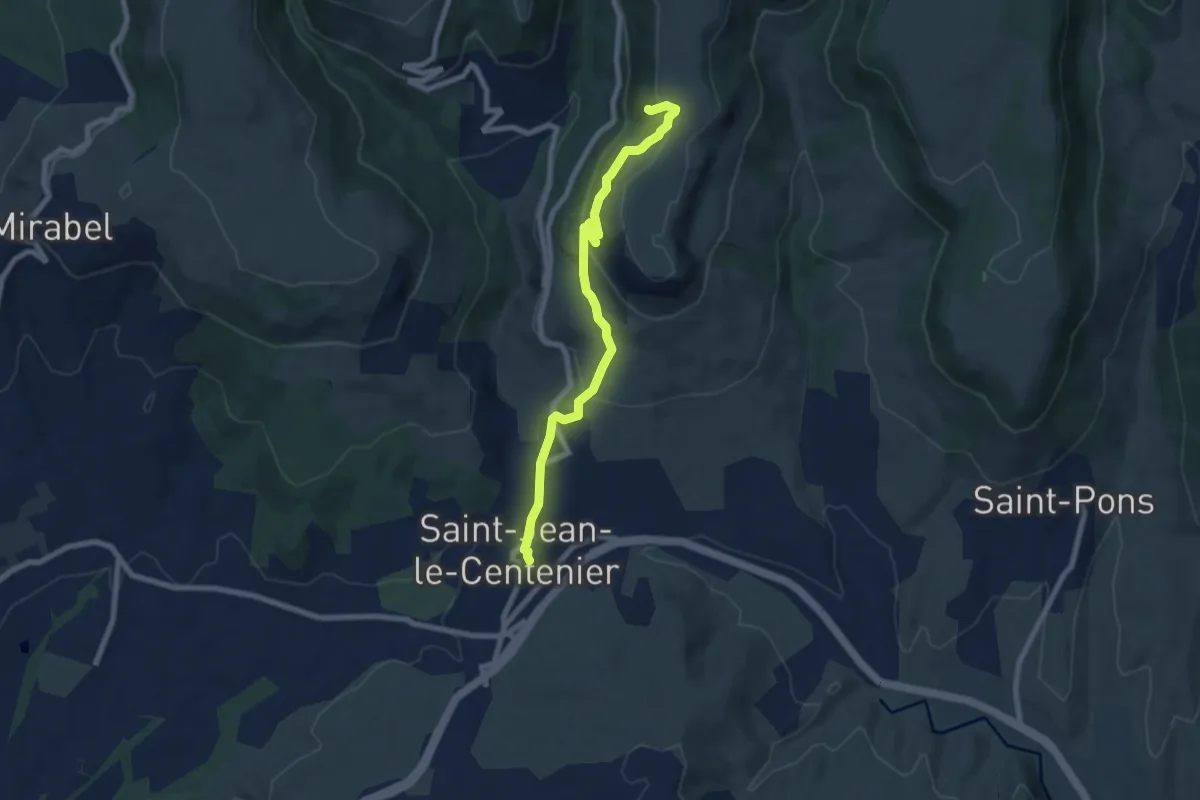
Saint-Jean-le-Centenier - Balmes de Montbrun
7.7 km · ↑ 339 m · 2 h 34 min · 13 km away
Easy · Trail
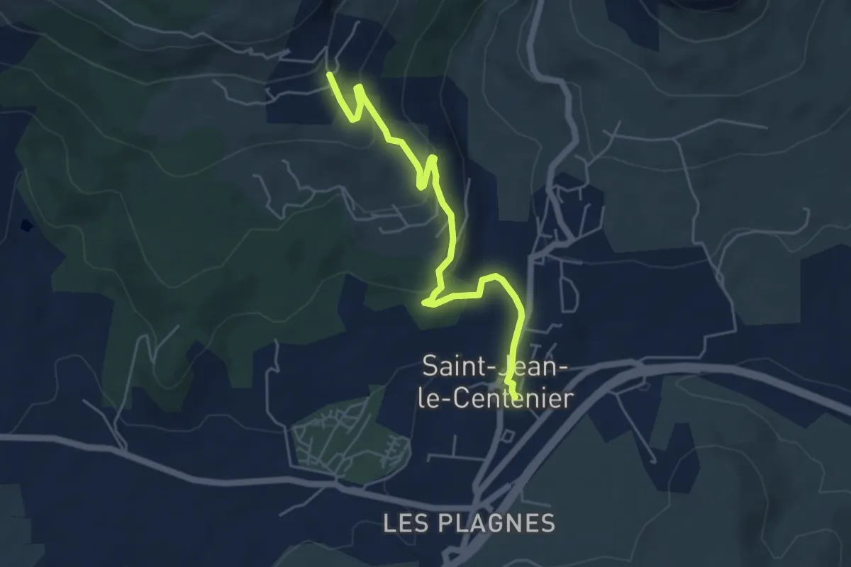
Saint-Jean-le-Centenier - Jarnias
5.3 km · ↑ 195 m · 1 h 40 min · 13 km away
Easy · Trail
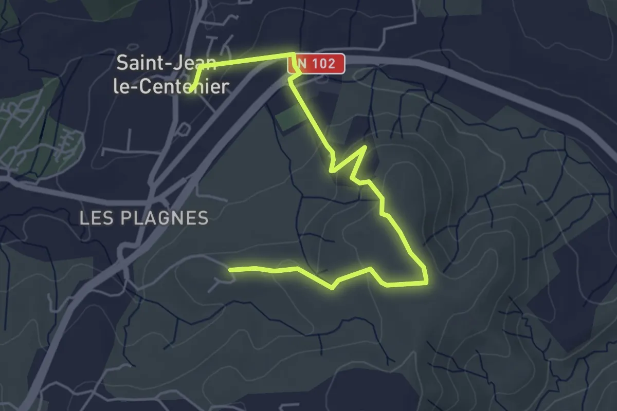
Saint-Jean-le-Centenier - Font Nègre
5.6 km · ↑ 162 m · 1 h 40 min · 13 km away
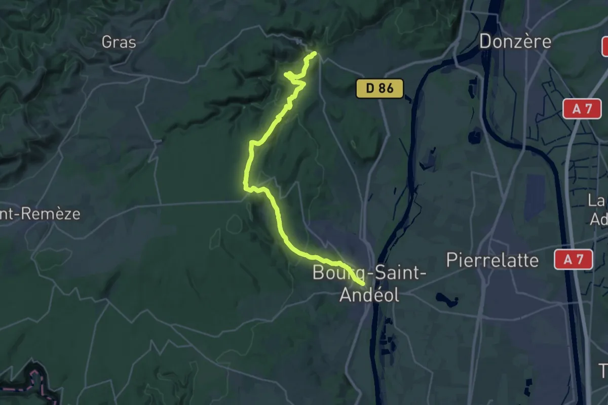
Demanding · Trail
SPHC, étape 15
25.7 km · ↑ 748 m · 7 h 41 min · 13 km away
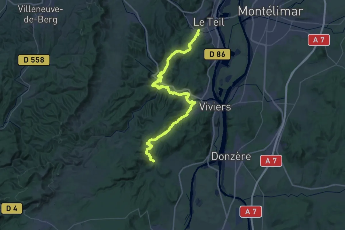
Demanding · Trail
SPHC, étape 16
23.1 km · ↑ 693 m · 7 h 18 min · 13 km away
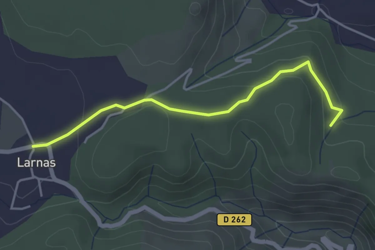
Easy · Trail
Bois de Deniéret - Larnas
3.6 km · ↑ 92 m · 1 h 2 min · 13 km away
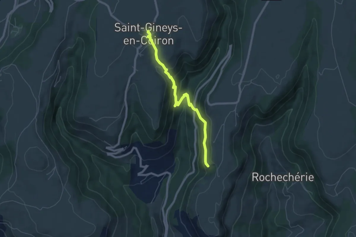
Medium · Trail
Balmes de Montbrun - Saint-Gineys-en-Coiron
5.8 km · ↑ 366 m · 2 h 10 min · 13 km away
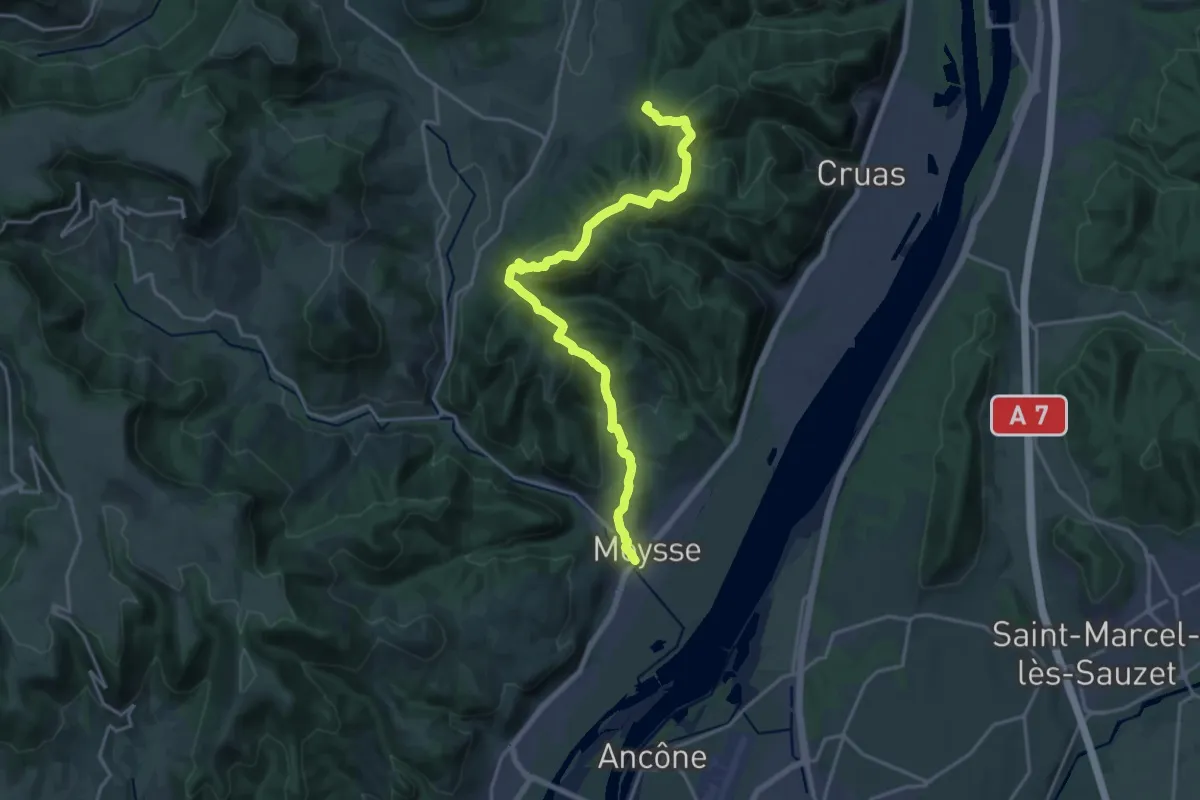
Demanding · Trail
SPHC, étape 18
20.6 km · ↑ 888 m · 6 h 47 min · 13 km away
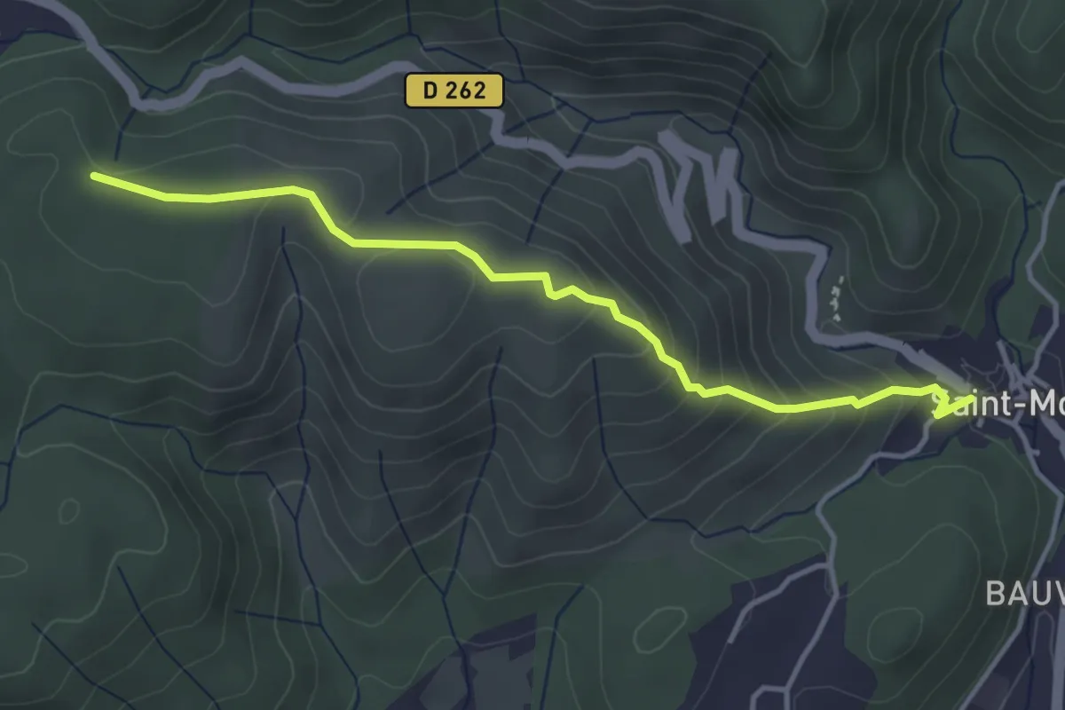
Easy · Trail
Saint-Montan - La Peyrière
4.0 km · ↑ 259 m · 1 h 30 min · 13 km away
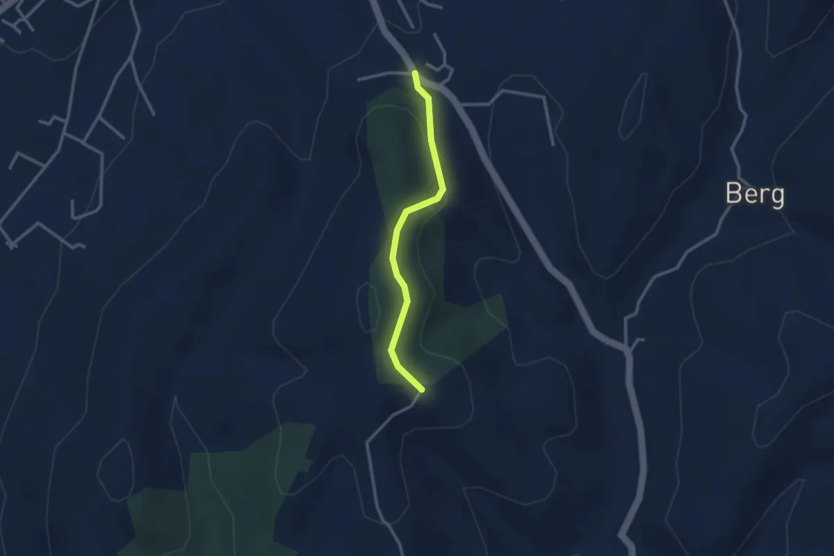
Easy · Trail
Route de Saint-Andeol - Fournery
2.4 km · ↑ 84 m · 46 min · 13 km away
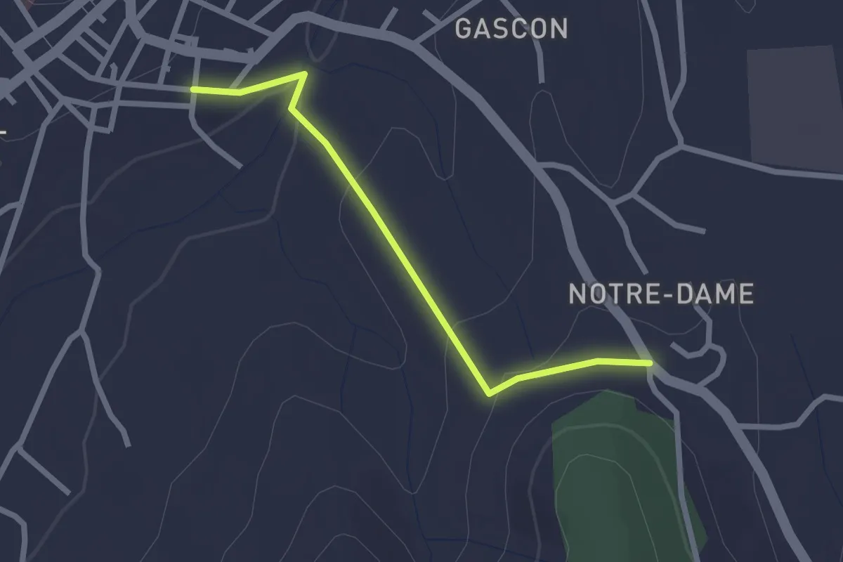
Easy · Trail
Basse Rue - Route de Saint-Andeol
2.2 km · ↑ 65 m · 40 min · 13 km away
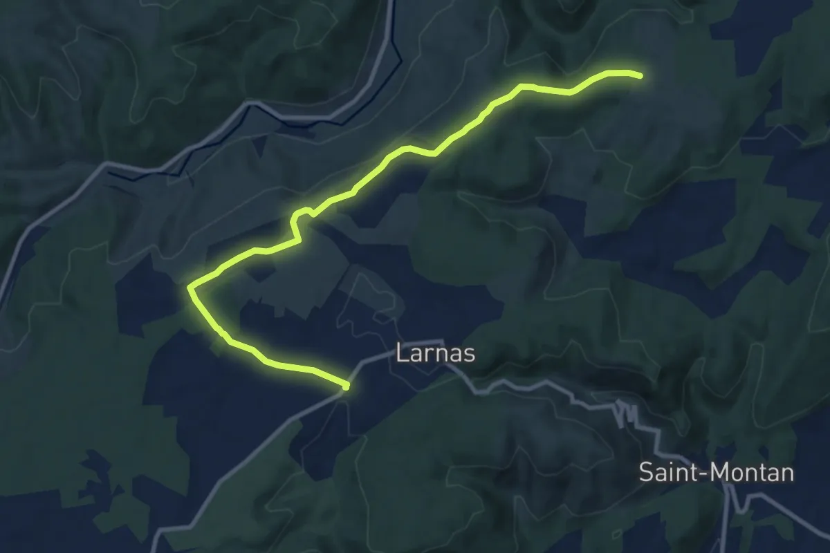
Medium · Trail
Fontaine du Buis - Gandaubert
10.8 km · ↑ 118 m · 2 h 48 min · 14 km away
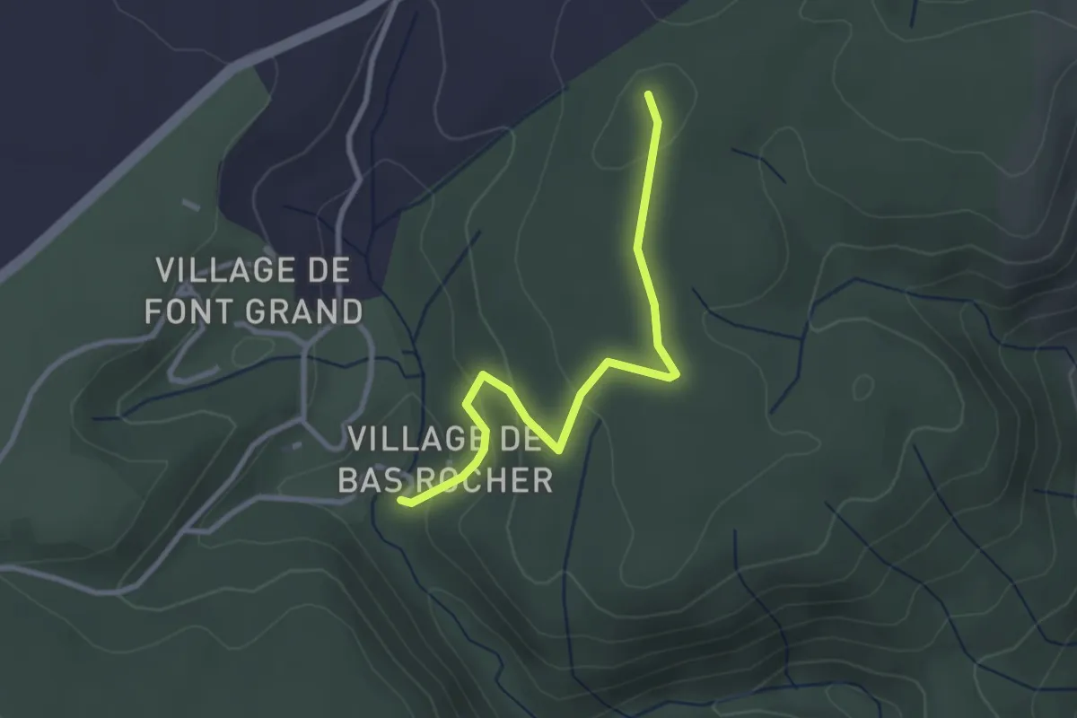
Easy · Trail
Imbours Bas - Bas Rocher
2.9 km · ↑ 90 m · 52 min · 14 km away
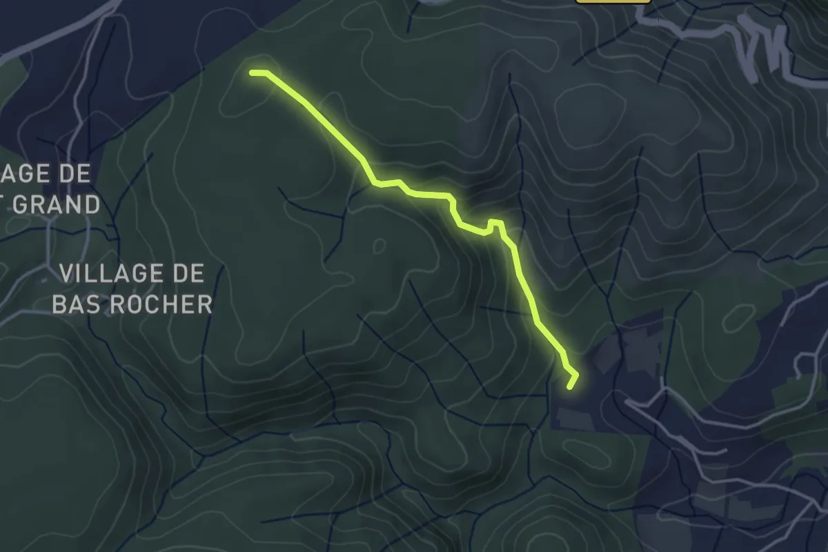
Easy · Trail
Champs Pique - Bas Rocher
3.3 km · ↑ 188 m · 1 h 11 min · 14 km away
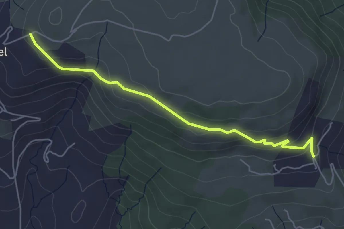
Easy · Trail
Jarnias - Le Thérond
4.8 km · ↑ 147 m · 1 h 27 min · 14 km away
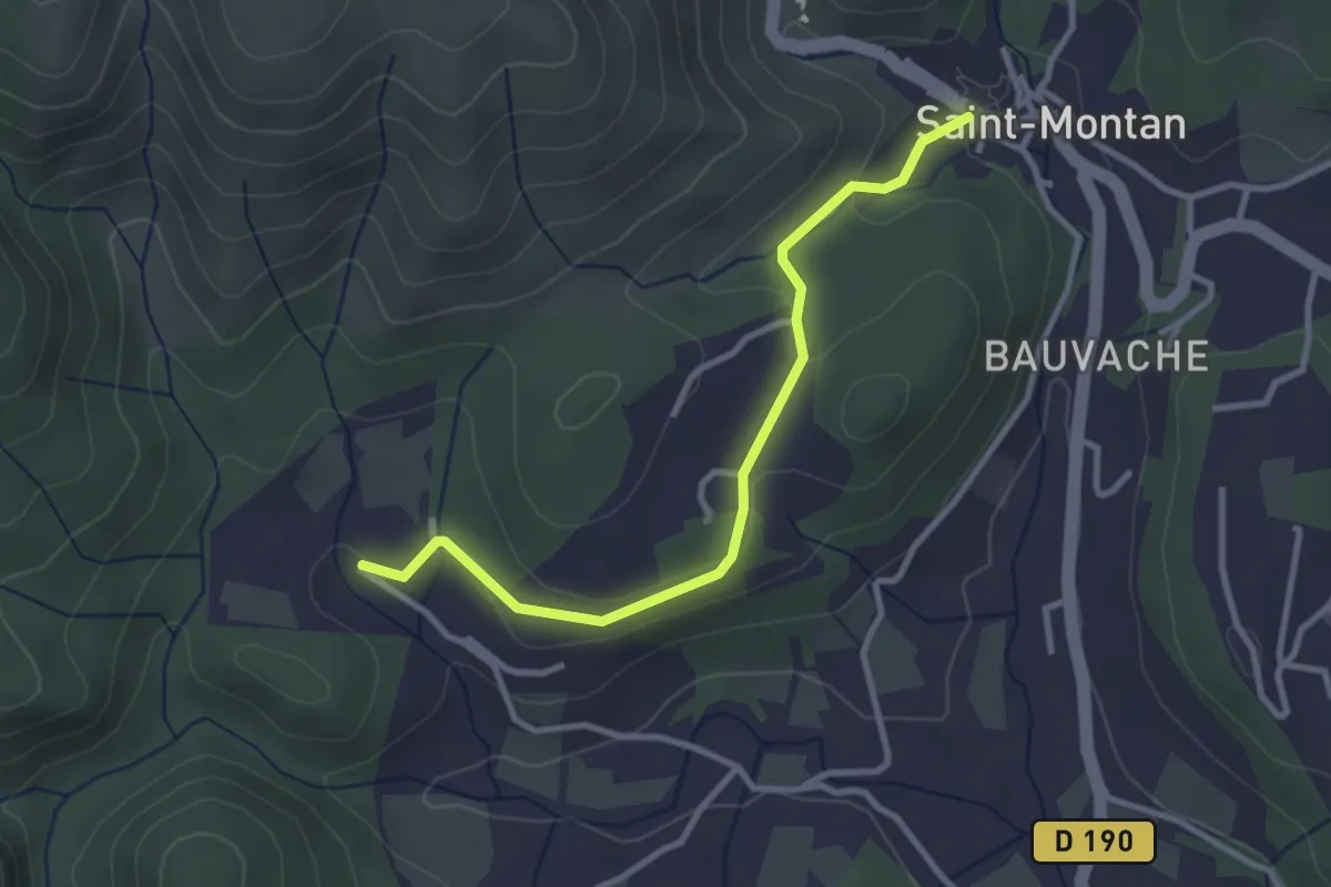
Easy · Trail
Saint-Montan - Valescure
3.2 km · ↑ 60 m · 53 min · 14 km away
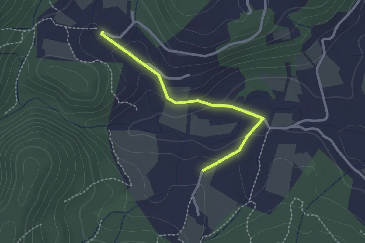
Easy · Trail
Soulière - Valescure
2.1 km · ↑ 61 m · 37 min · 14 km away
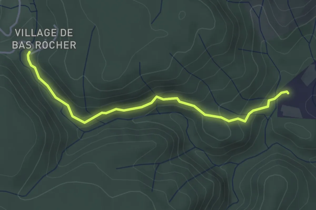
Easy · Trail
Champs Pique - Imbours Bas
3.8 km · ↑ 156 m · 1 h 14 min · 14 km away
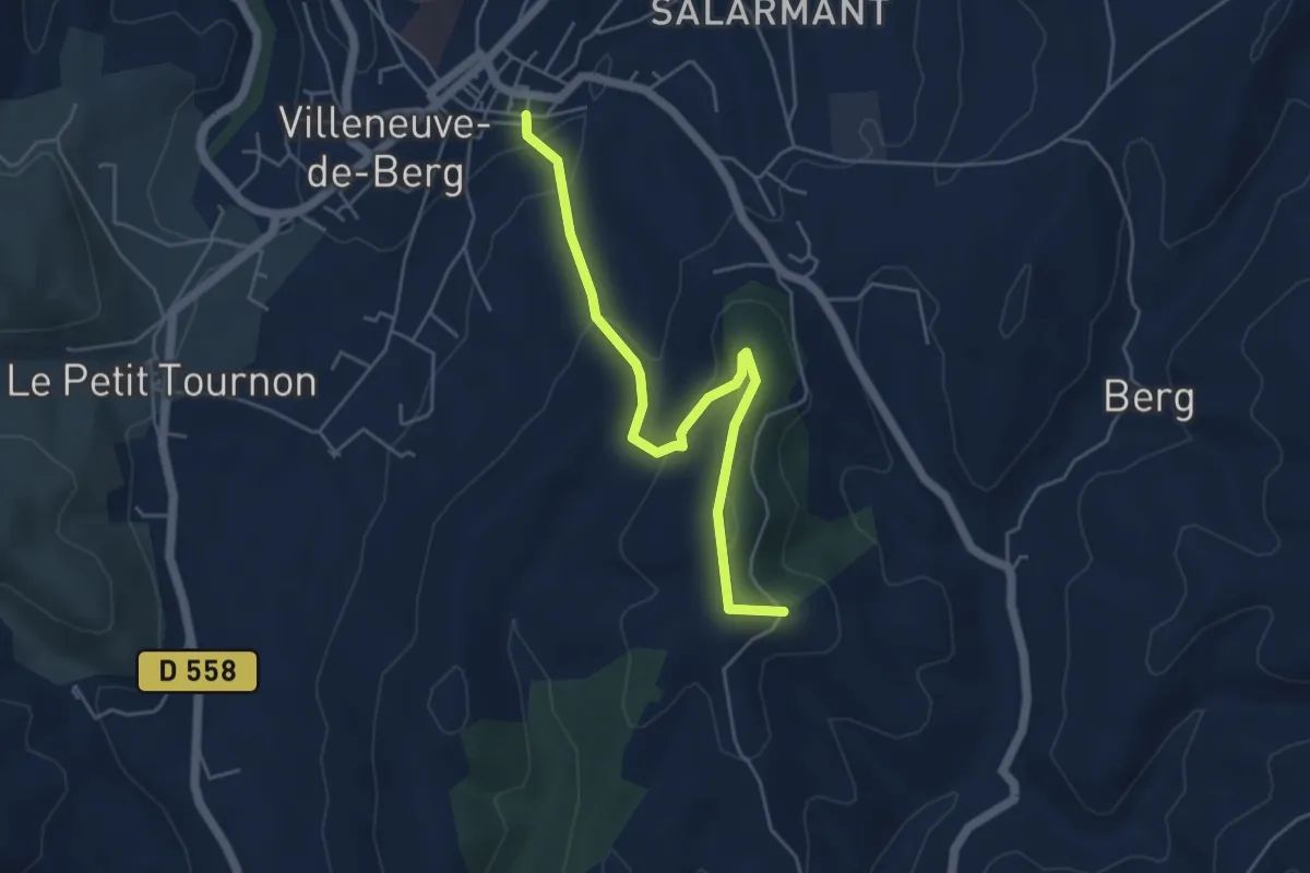
Easy · Trail
Basse Rue - Fournery
5.3 km · ↑ 186 m · 1 h 39 min · 14 km away