Trails near Le Vigan
59 hikes starting within 15 km, nearest first.
Nearest first, page 1 of 2
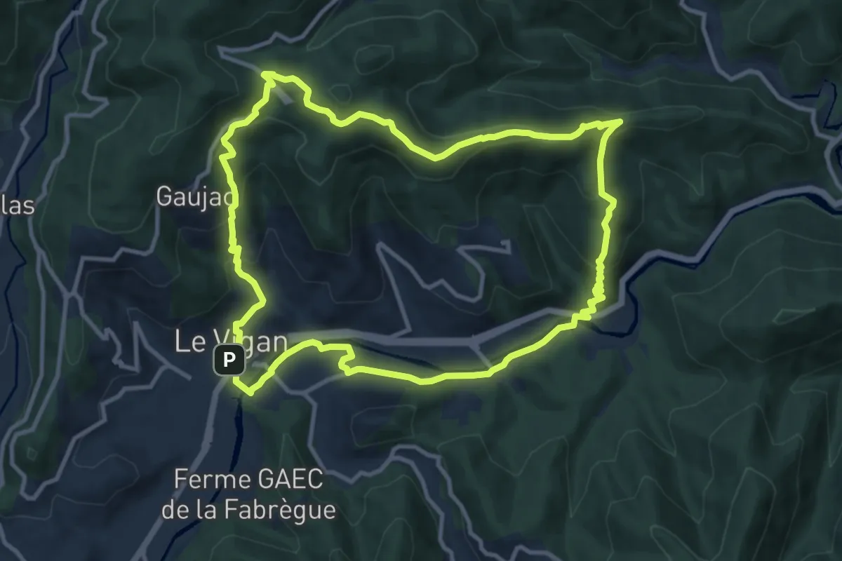
Medium · Summit
Sentier du Col des Mourèzes
10.8 km · ↑ 405 m · 3 h 34 min · under 1 km away
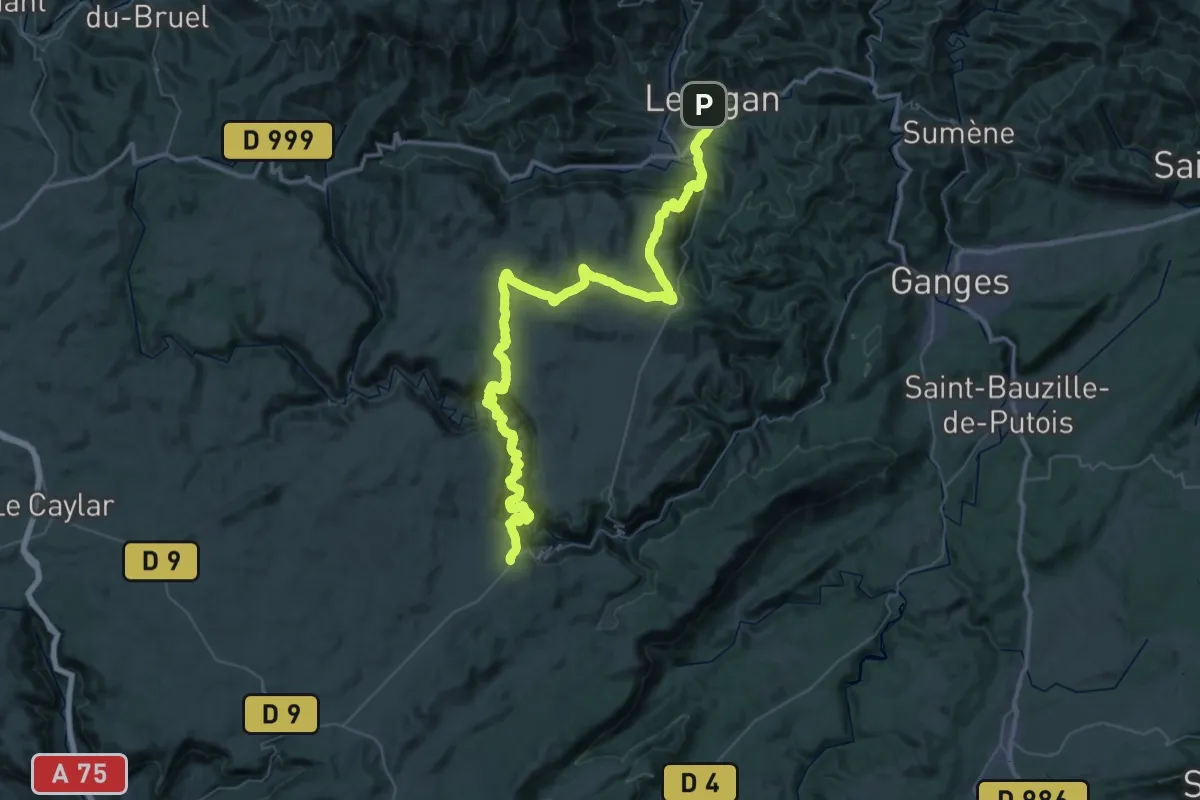
Demanding · Trail
CSG 10 : Le Vigan - Saint-Maurice-Navacelles
34.0 km · ↑ 1491 m · 11 h 33 min · under 1 km away
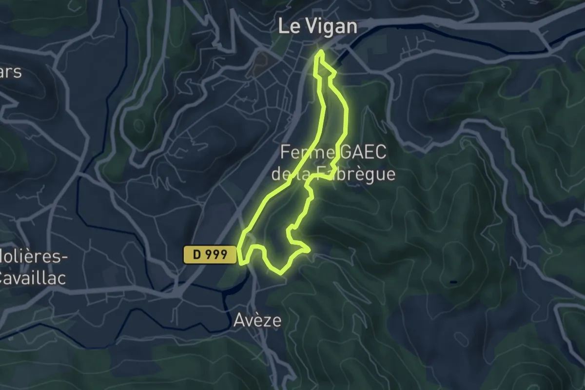
Easy · Trail
Circuit de l'Arre
4.8 km · ↑ 94 m · 1 h 24 min · 2 km away
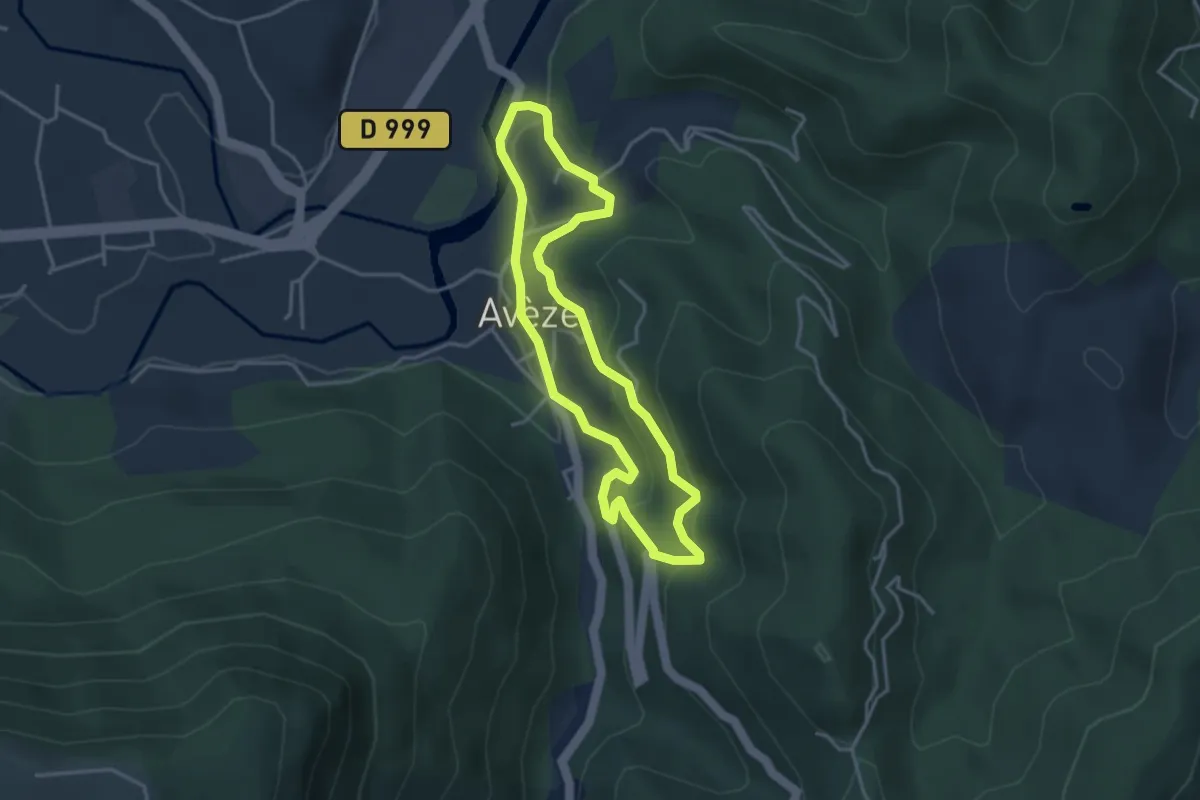
Easy · Trail
Pont de Mousse
3.5 km · ↑ 156 m · 1 h 13 min · 2 km away
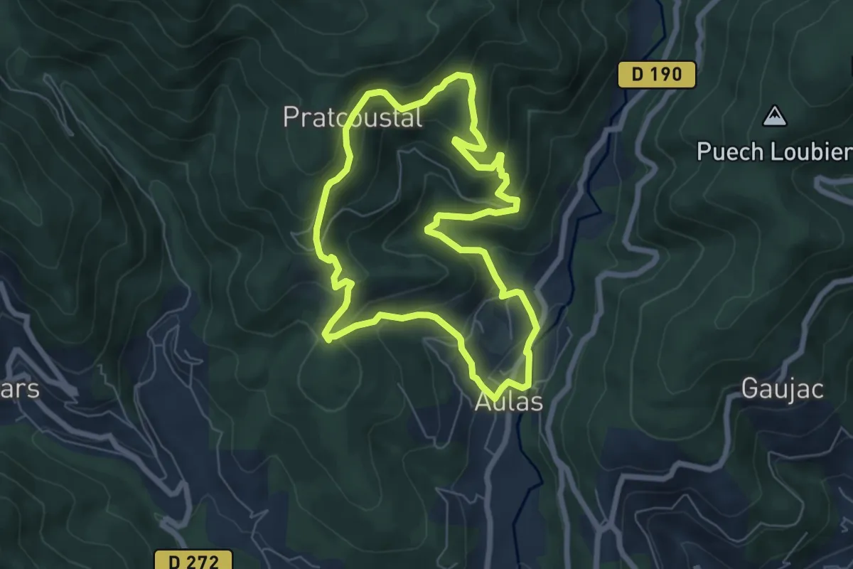
Medium · Trail
Tour d'Aulas
6.2 km · ↑ 370 m · 2 h 22 min · 3 km away
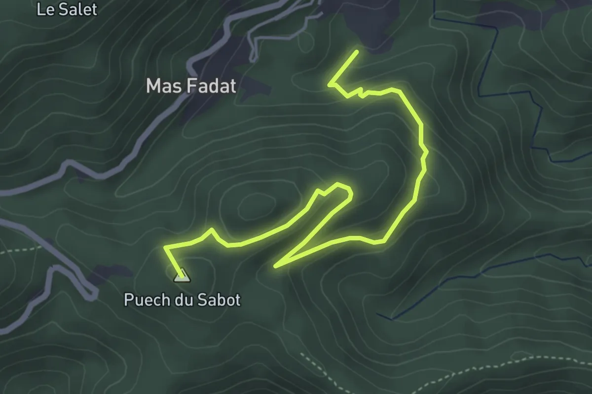
Easy · Summit
Le chemin des Mourèzes
5.4 km · ↑ 255 m · 1 h 50 min · 3 km away
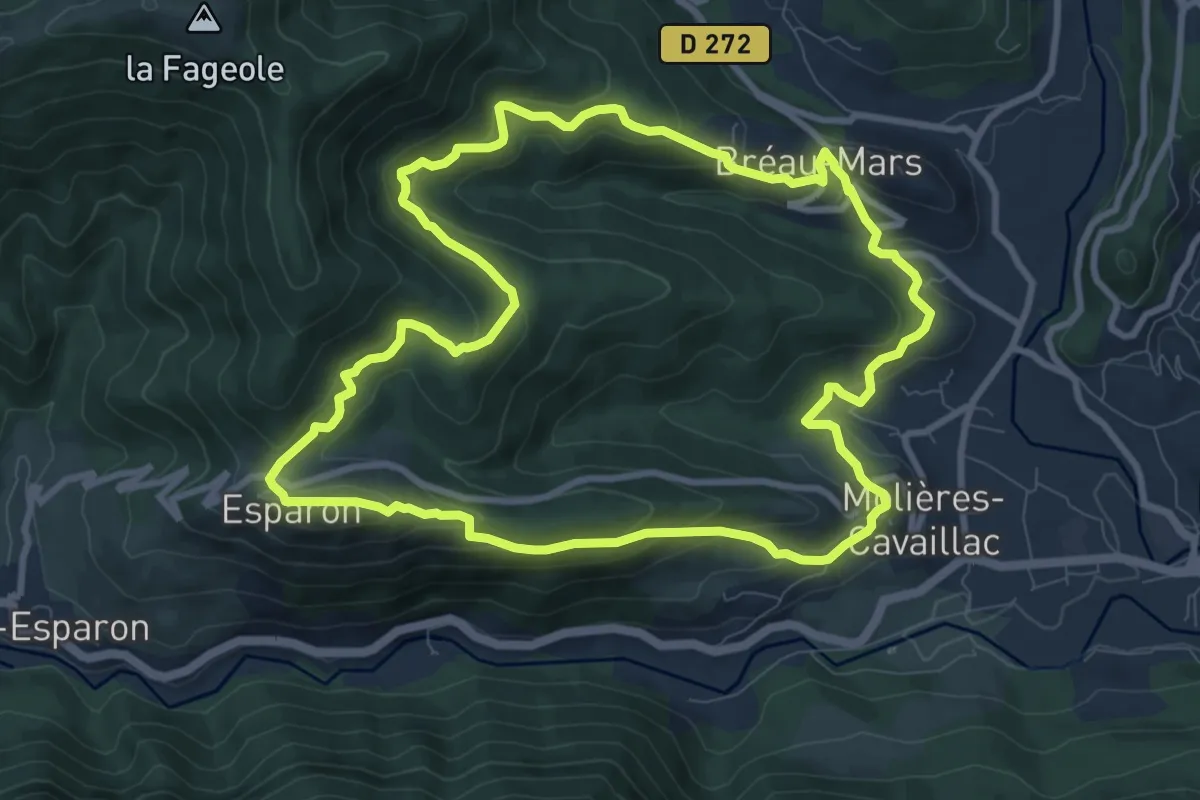
Medium · Trail
Villages viganais, circuit des Rutènes
10.0 km · ↑ 493 m · 3 h 34 min · 3 km away
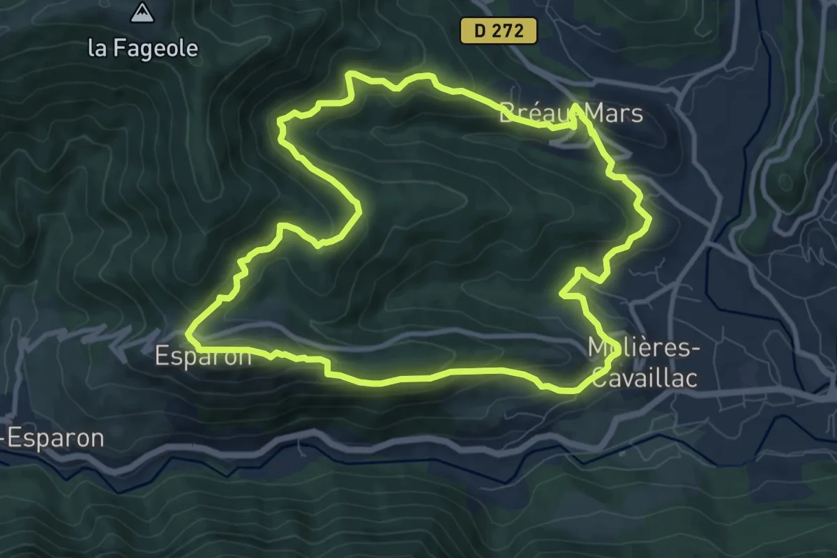
Medium · Trail
Sur la route des Rutènes
10.0 km · ↑ 478 m · 3 h 32 min · 3 km away
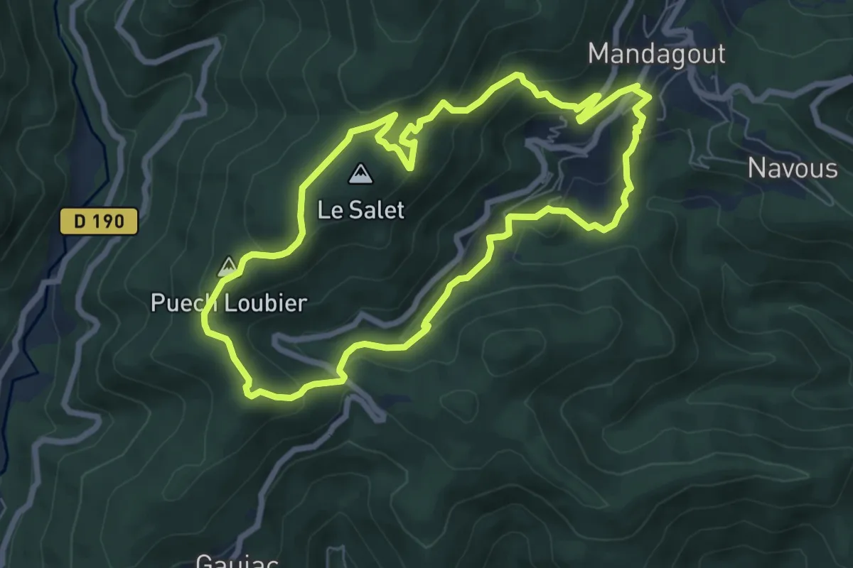
Medium · Summit
Le chemin du Salet
6.9 km · ↑ 370 m · 2 h 32 min · 3 km away
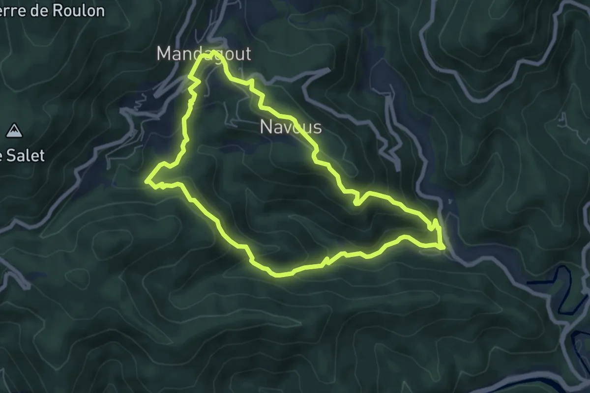
Medium · Trail
Le chemin de Frayssinet
6.5 km · ↑ 350 m · 2 h 23 min · 3 km away
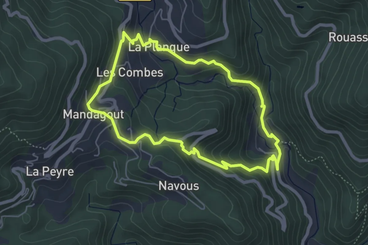
Easy · Trail
Le chemin de l'oignon
4.6 km · ↑ 249 m · 1 h 42 min · 4 km away
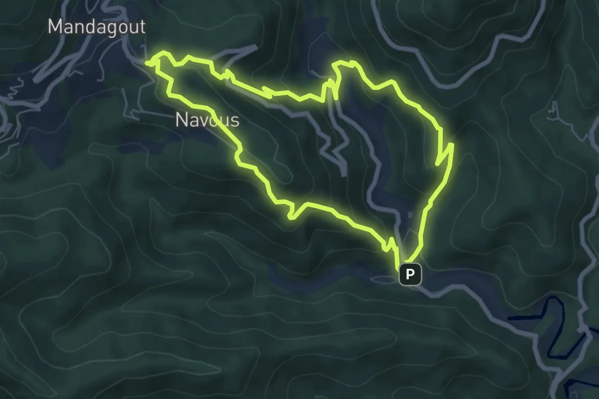
Medium · Trail
Le chemin de la vallée de l'Arboux
6.0 km · ↑ 375 m · 2 h 19 min · 4 km away
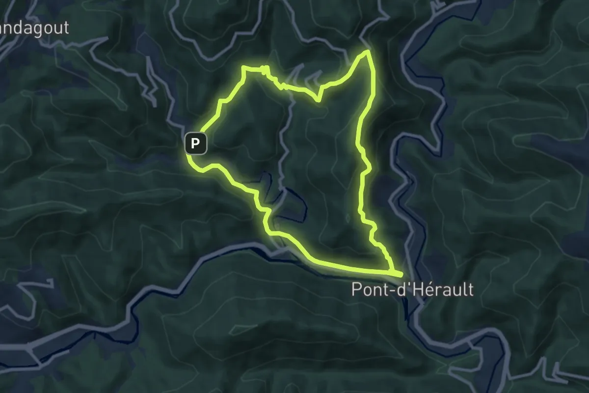
Medium · Trail
Camias
8.7 km · ↑ 459 m · 3 h 10 min · 4 km away
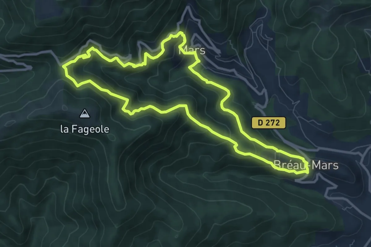
Medium · Trail
Le col de Mouzoules
8.6 km · ↑ 572 m · 3 h 24 min · 4 km away
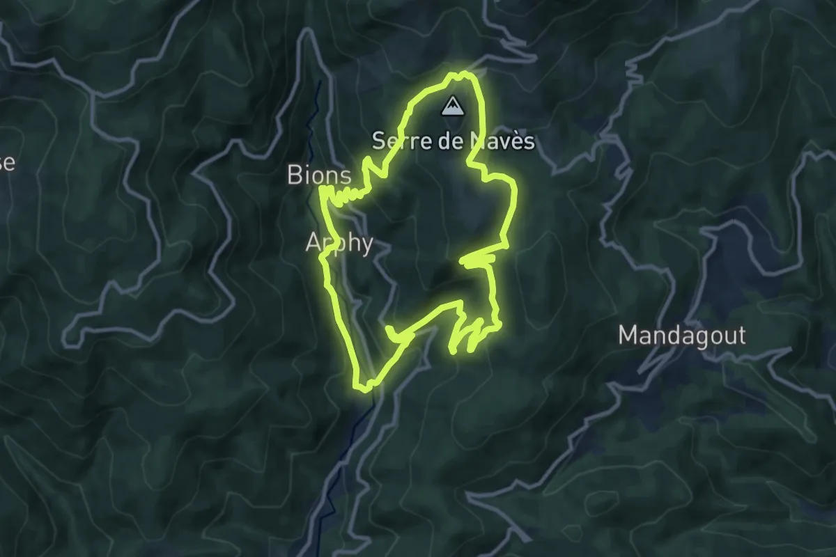
Medium · Trail
Les serres et la vallée de Coudoulous
10.5 km · ↑ 543 m · 3 h 48 min · 4 km away
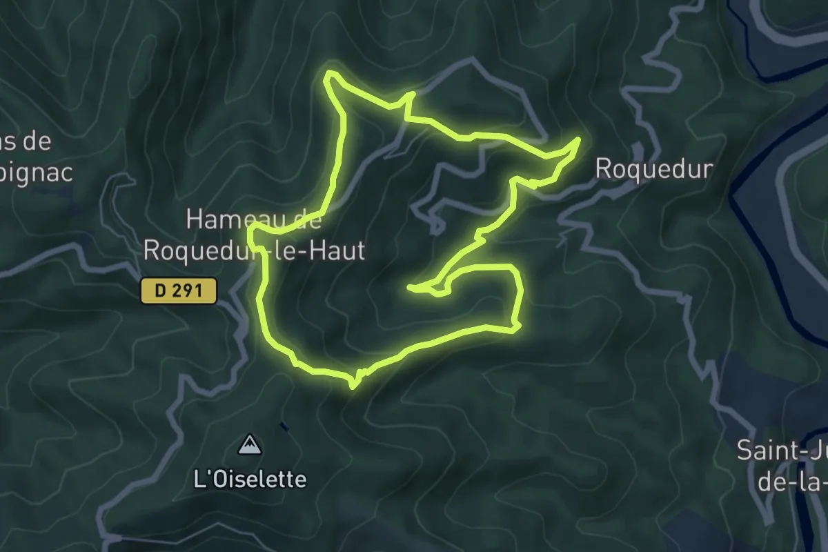
Medium · Trail
Chapelle de la Clastre
6.3 km · ↑ 330 m · 2 h 17 min · 5 km away
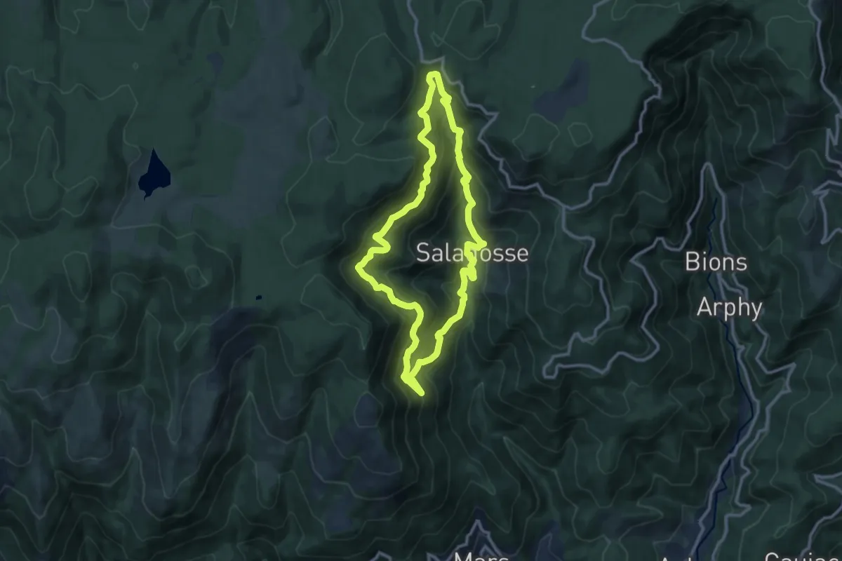
Medium · Trail
Le Souls
10.5 km · ↑ 696 m · 4 h 8 min · 6 km away
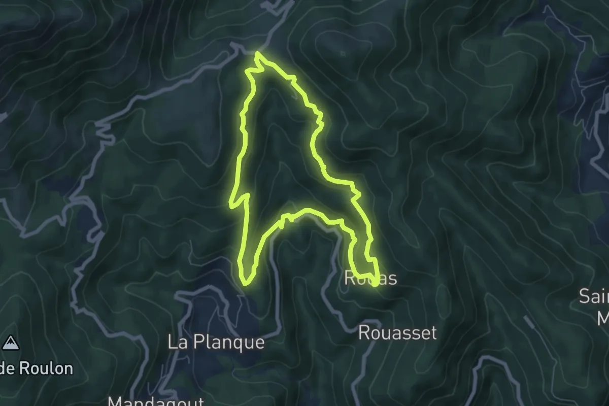
Medium · Trail
Col de Peyrefiche
6.6 km · ↑ 339 m · 2 h 22 min · 6 km away
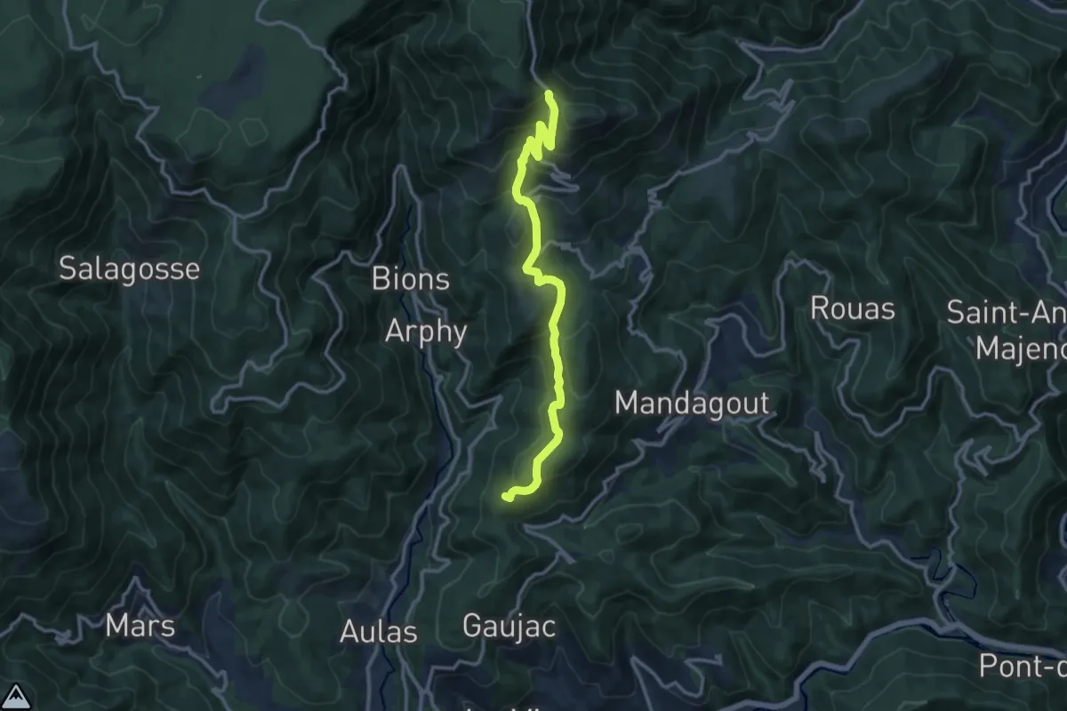
Medium · Summit
Chemin du signal de Mailhebiau à Saint-Mathieu-de-Tréviers - Variante 60A
11.9 km · ↑ 595 m · 4 h 6 min · 6 km away
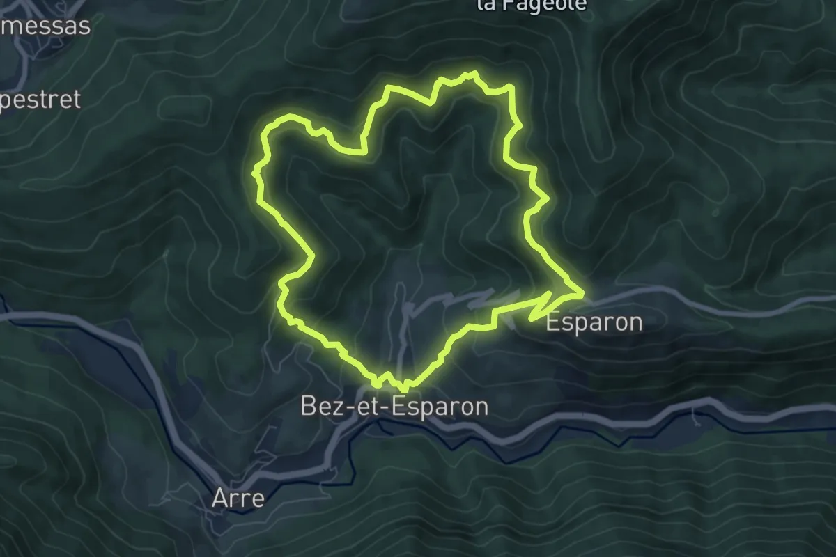
Medium · Trail
Du Bosc au valat de Merlason
7.8 km · ↑ 510 m · 3 h 3 min · 6 km away
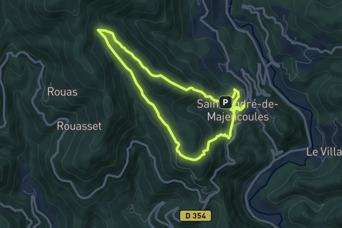
Medium · Summit
Les Rouquis
6.3 km · ↑ 329 m · 2 h 19 min · 7 km away
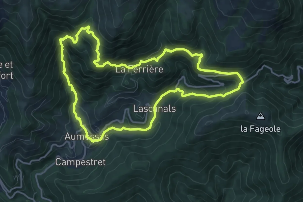
Medium · Trail
Les hameaux, Le col de Mouzoules et Le Bavezon
10.4 km · ↑ 669 m · 4 h 2 min · 7 km away
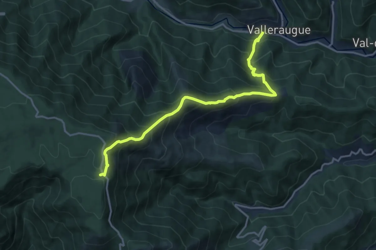
Demanding · Trail
GR 62C
10.8 km · ↑ 972 m · 4 h 40 min · 7 km away
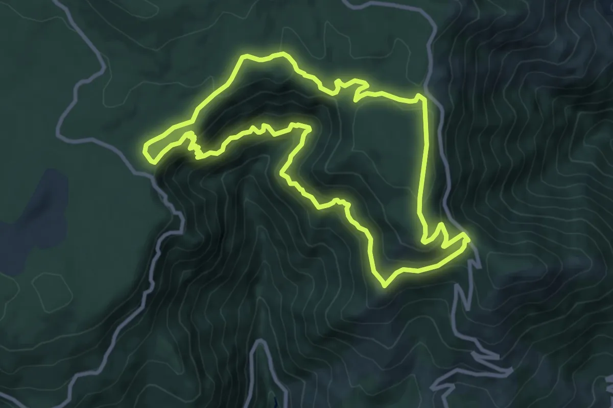
Medium · Trail
Les Cascades d'Orgon
8.9 km · ↑ 482 m · 3 h 17 min · 7 km away
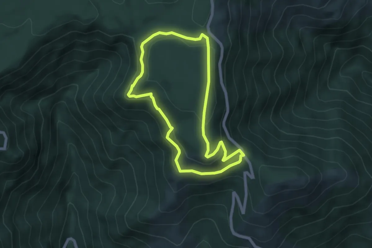
Easy · Trail
Sentier de l'Écureuil
4.4 km · ↑ 164 m · 1 h 28 min · 7 km away
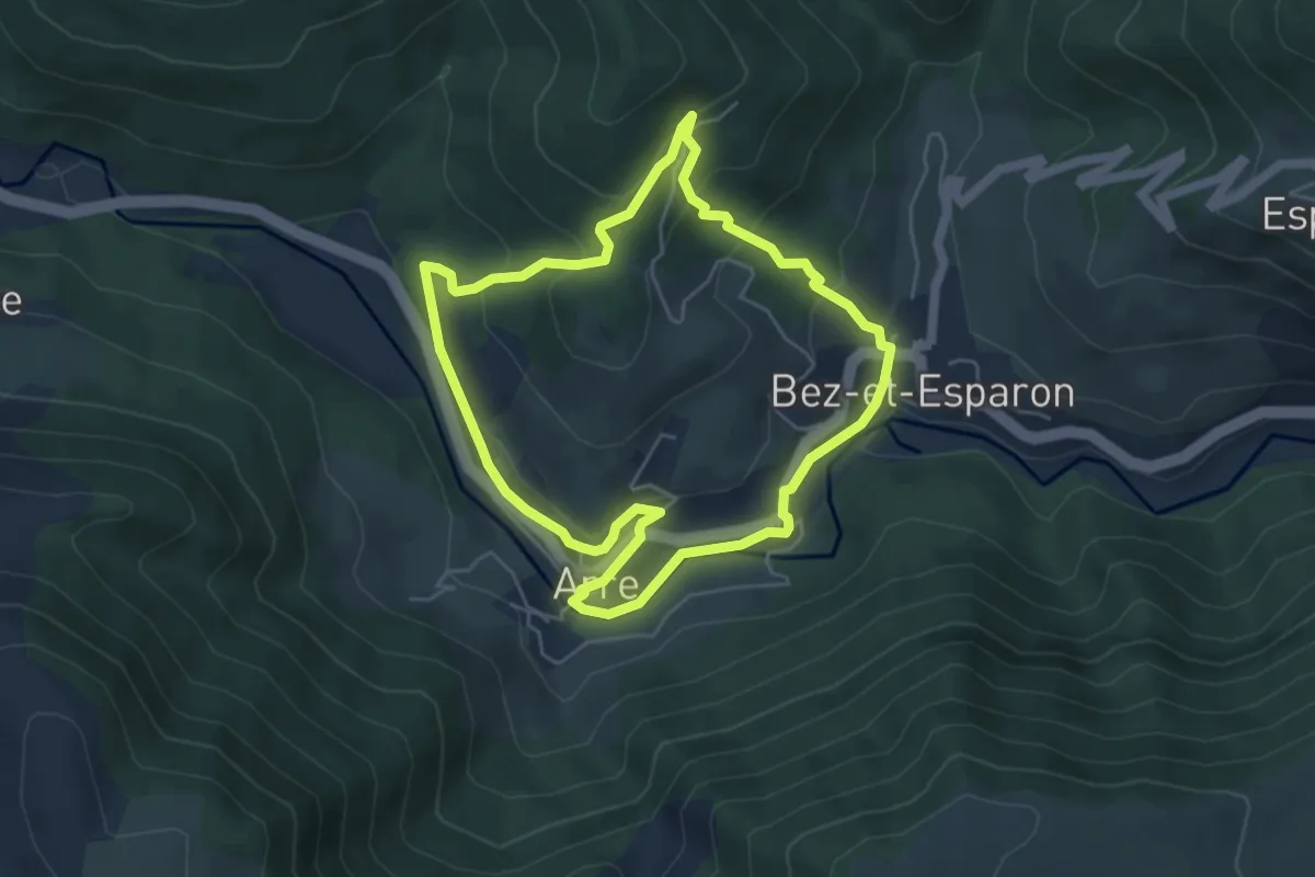
Easy · Trail
Les bonnetiers
5.1 km · ↑ 211 m · 1 h 44 min · 8 km away
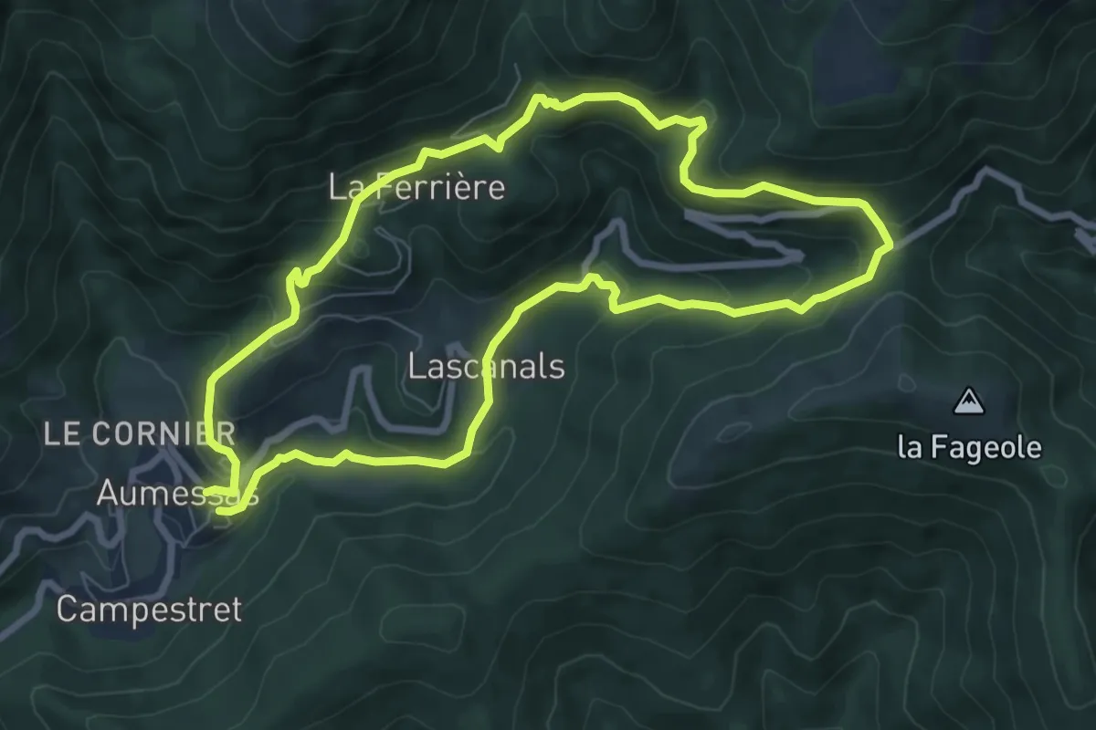
Medium · Trail
Sentier du Bavezon
7.6 km · ↑ 432 m · 2 h 49 min · 8 km away
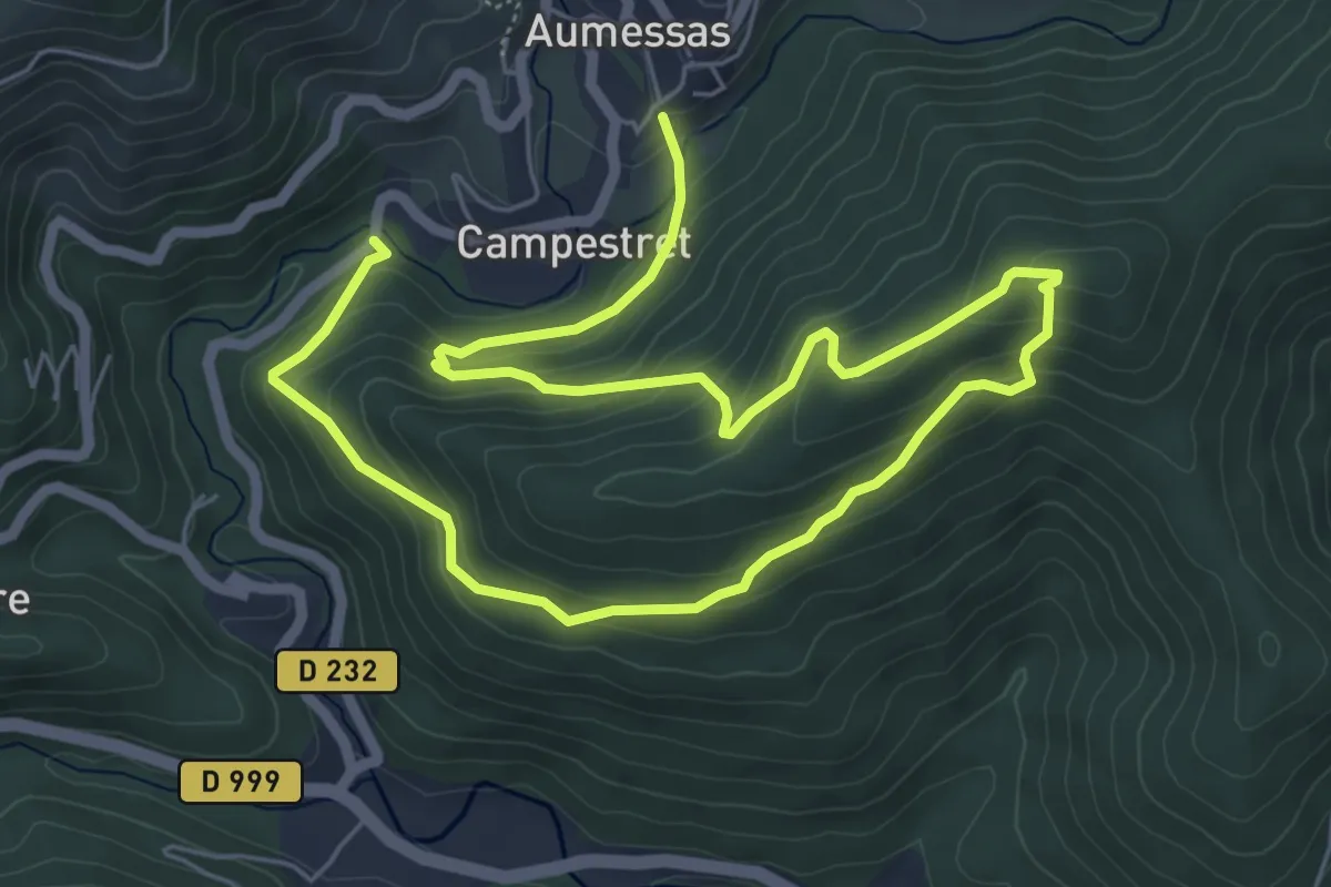
Medium · Trail
Sentier de Saint Cau
10.3 km · ↑ 586 m · 3 h 42 min · 8 km away
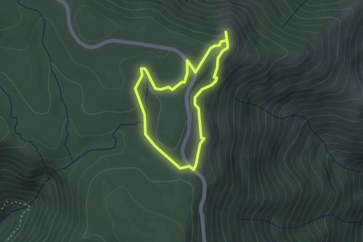
Easy · Trail
Sur les traces du mouflon
2.4 km · ↑ 76 m · 46 min · 8 km away
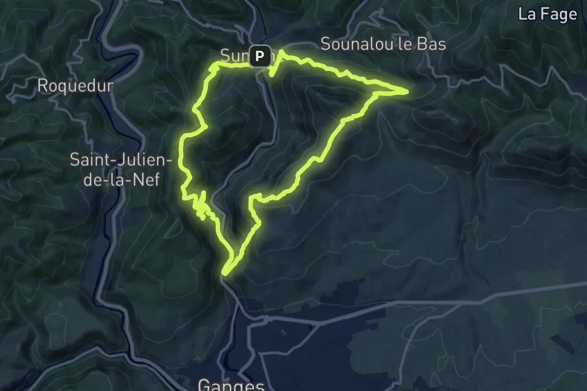
Demanding · Summit
PR22 Le Ranc de Banes
14.6 km · ↑ 1046 m · 5 h 55 min · 9 km away
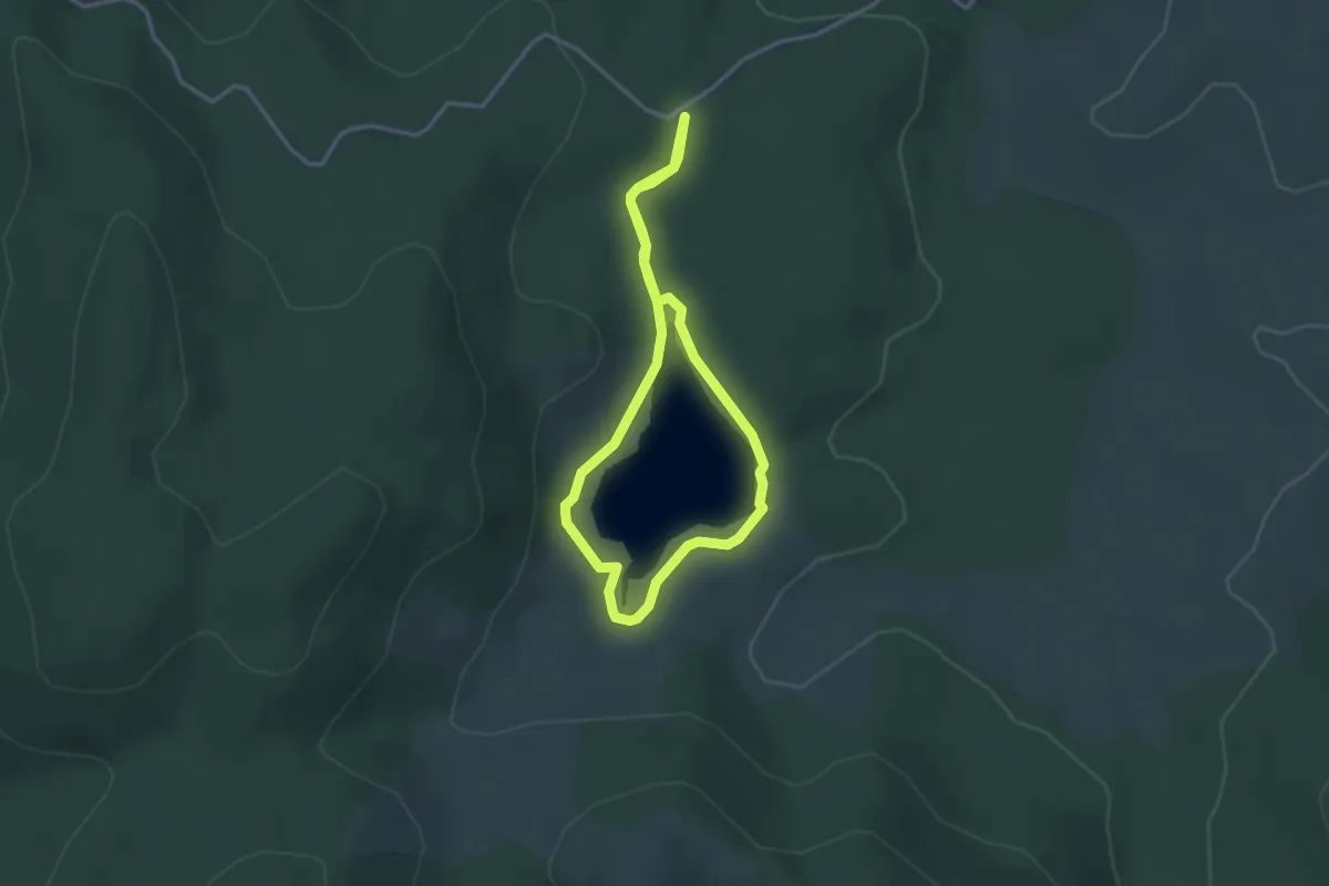
Easy · Trail
Lac des Pises
2.9 km · ↑ 29 m · 48 min · 9 km away
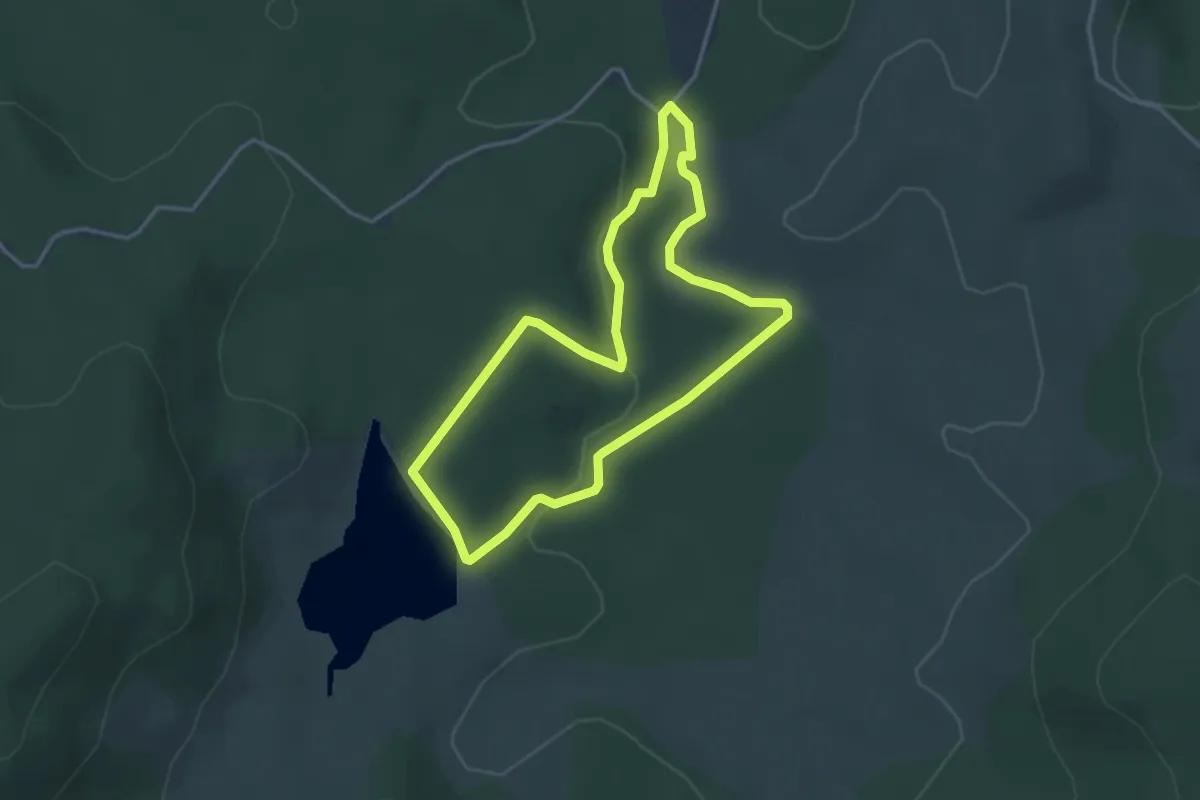
Easy · Trail
La forêt du Lingas
3.5 km · ↑ 54 m · 59 min · 10 km away
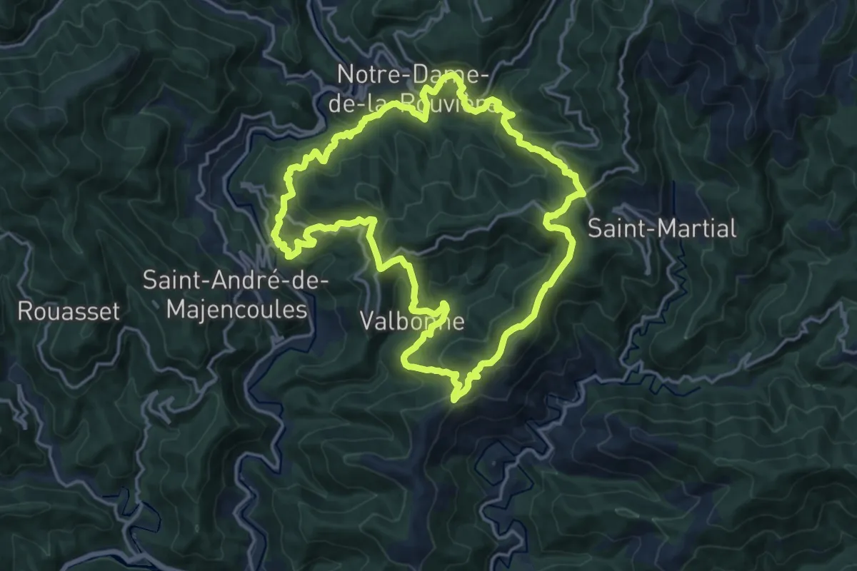
Demanding · Trail
Col du Devinayre
16.1 km · ↑ 887 m · 5 h 56 min · 10 km away
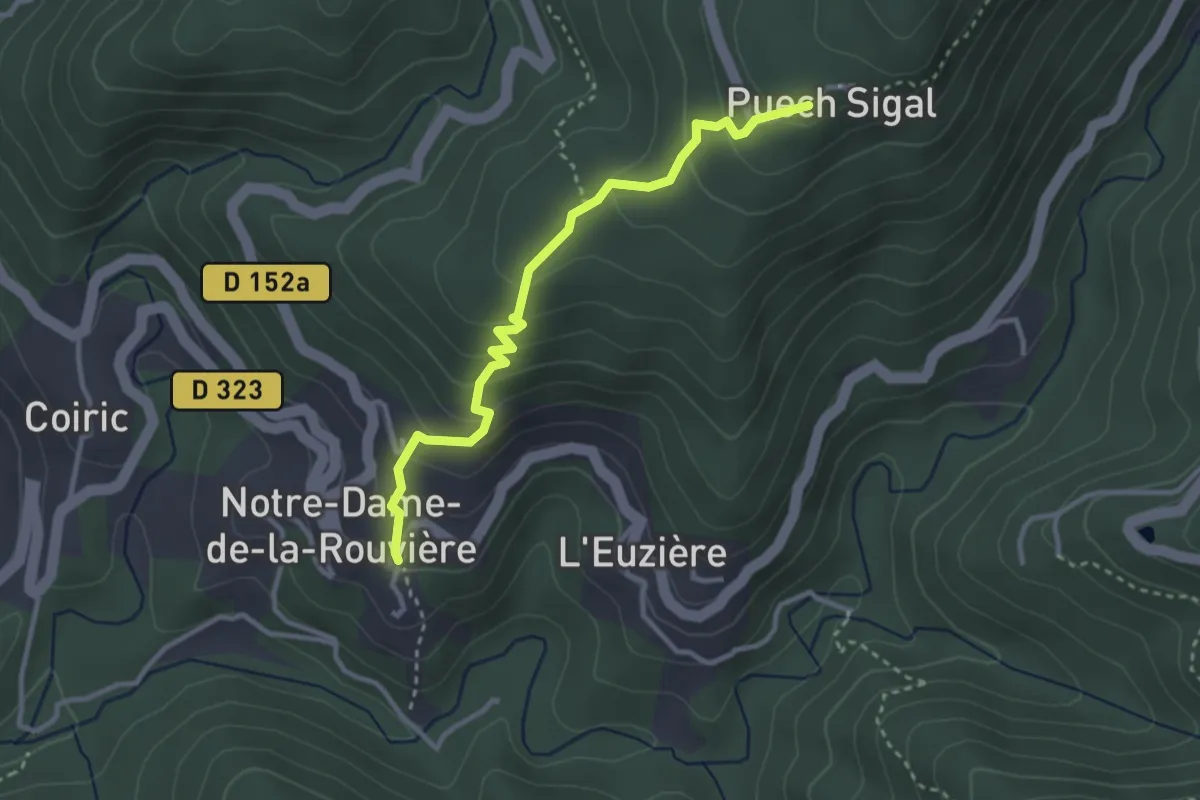
Easy · Trail
Sentier du Pont moutonnier - Variante
1.6 km · ↑ 233 m · 48 min · 10 km away
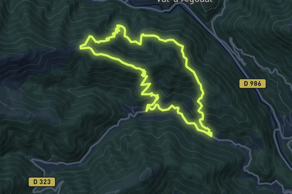
Medium · Trail
Taleyrac
9.2 km · ↑ 607 m · 3 h 36 min · 10 km away
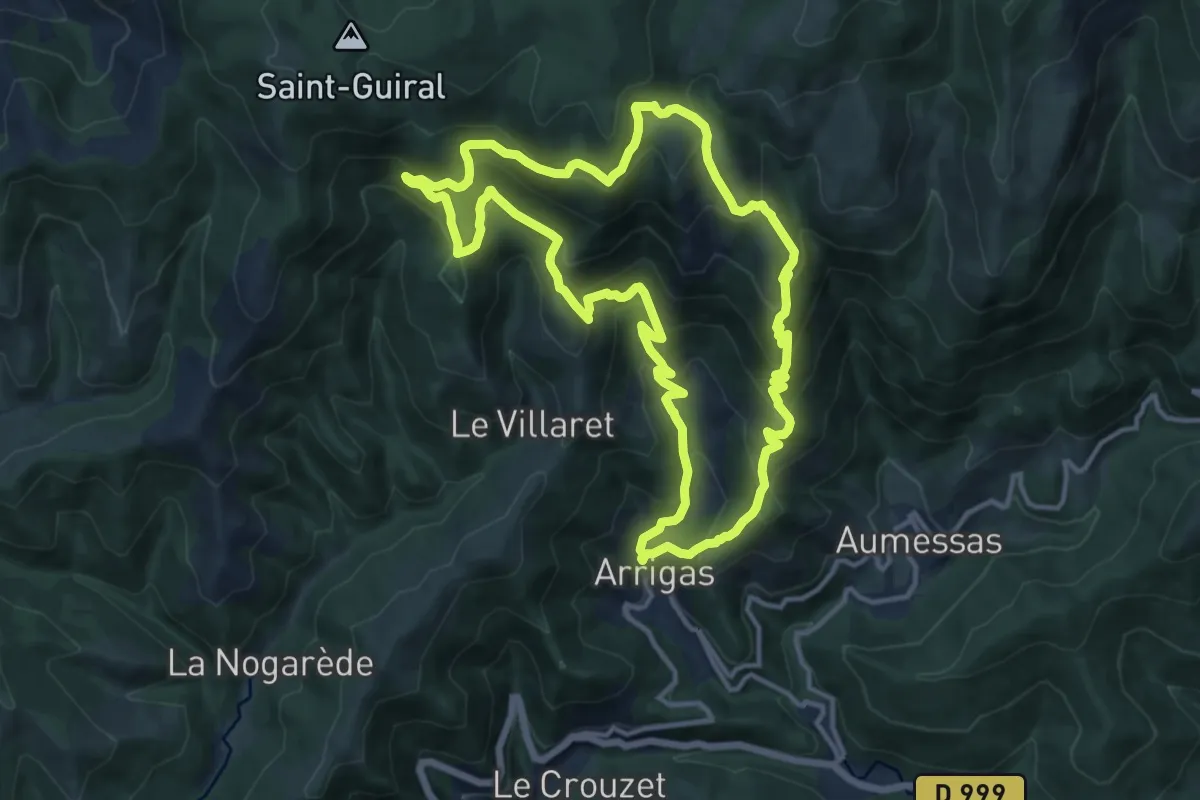
Demanding · Trail
La Trescoulade
13.8 km · ↑ 857 m · 5 h 19 min · 10 km away
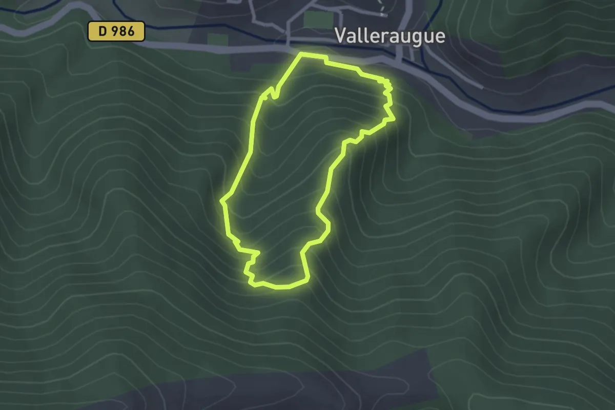
Easy · Trail
Col d'Elze
2.3 km · ↑ 253 m · 1 h 8 min · 10 km away
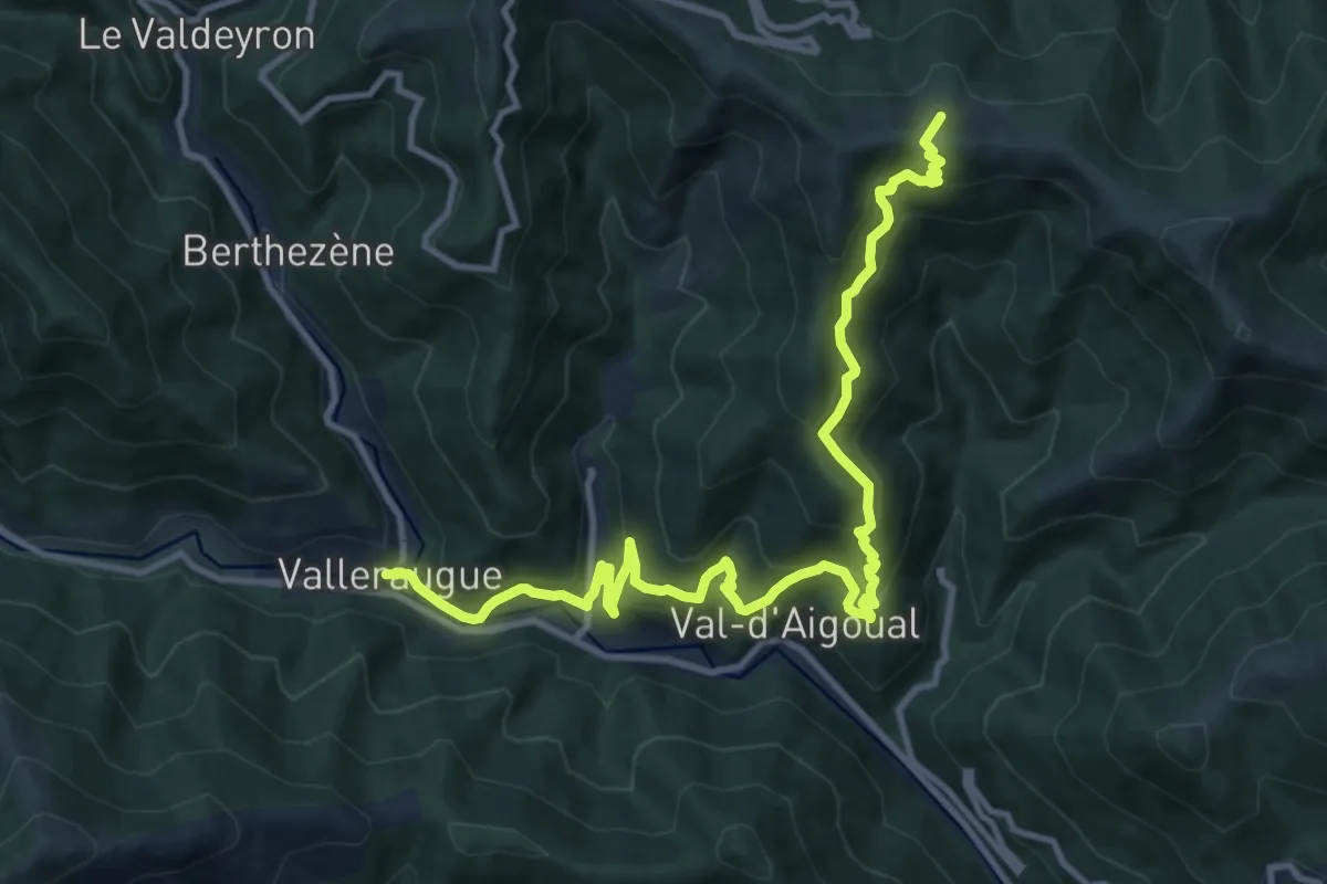
Demanding · Trail
Roque-Rouge - Valleraugue
13.9 km · ↑ 887 m · 5 h 13 min · 10 km away
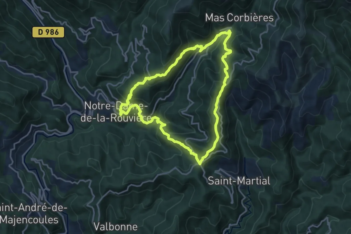
Medium · Trail
Col de Bès
11.2 km · ↑ 625 m · 4 h 10 min · 10 km away
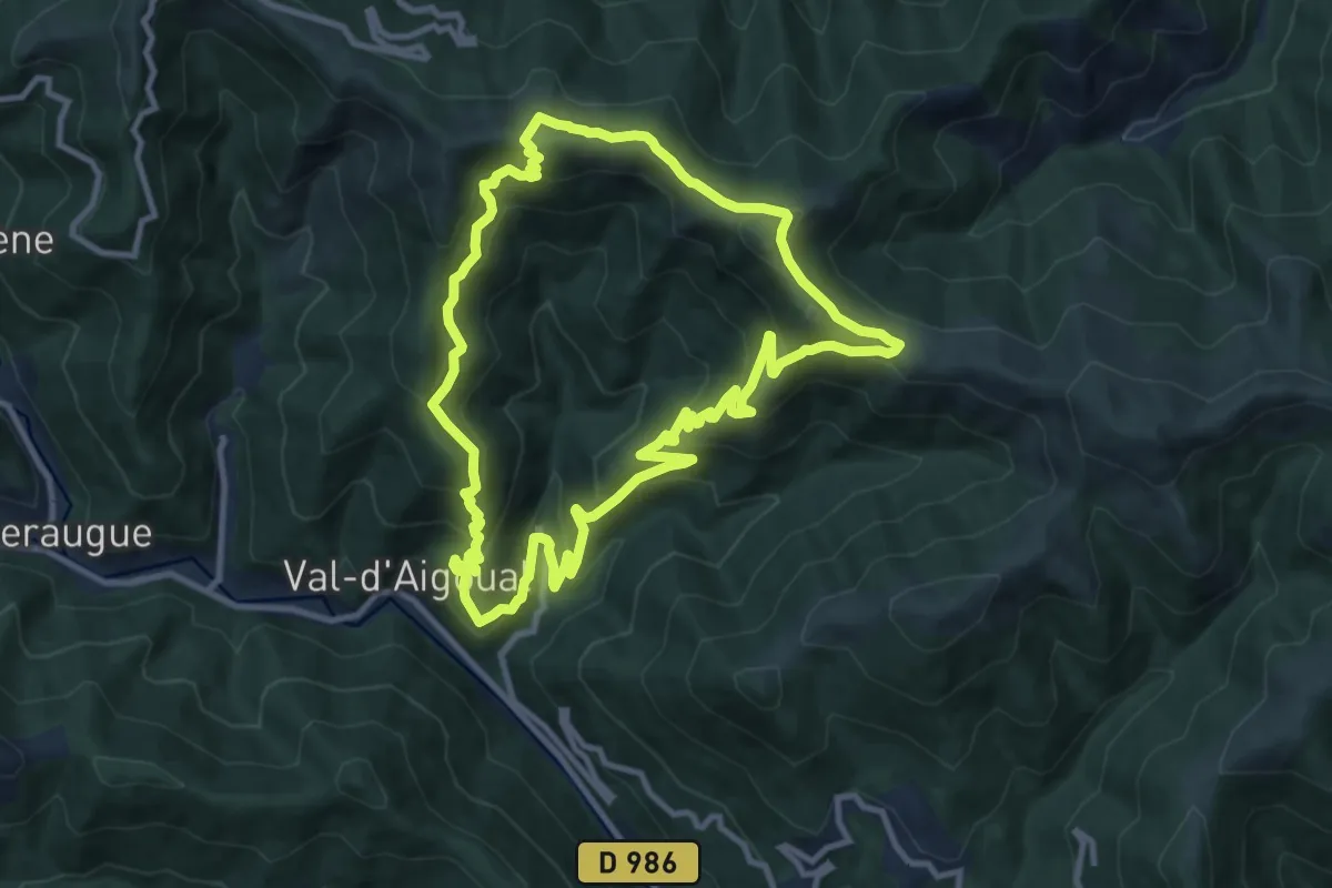
Medium · Summit
Les Chars
11.0 km · ↑ 693 m · 4 h 15 min · 11 km away
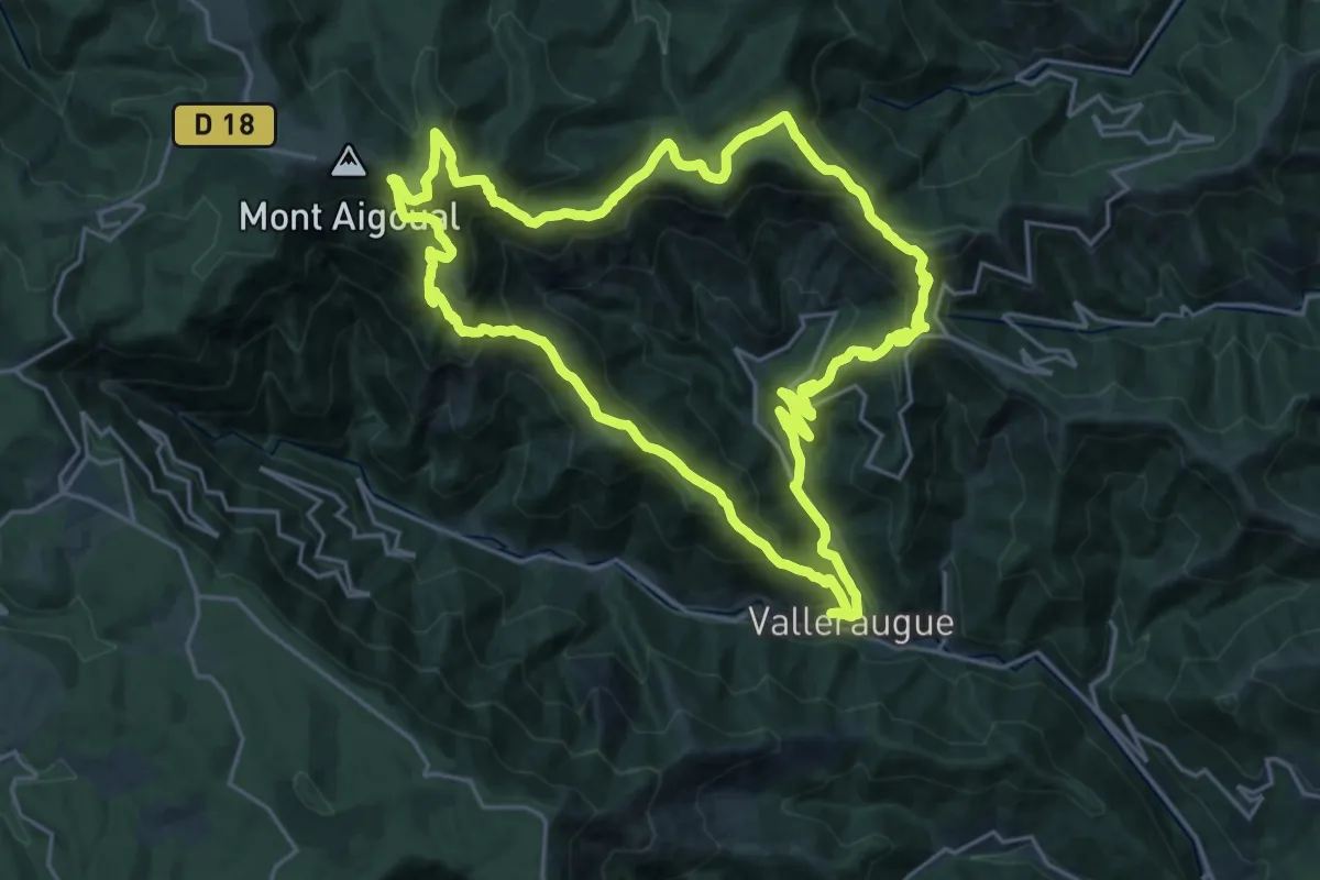
Demanding · Trail
Les 4000 marches
22.7 km · ↑ 1385 m · 8 h 40 min · 11 km away
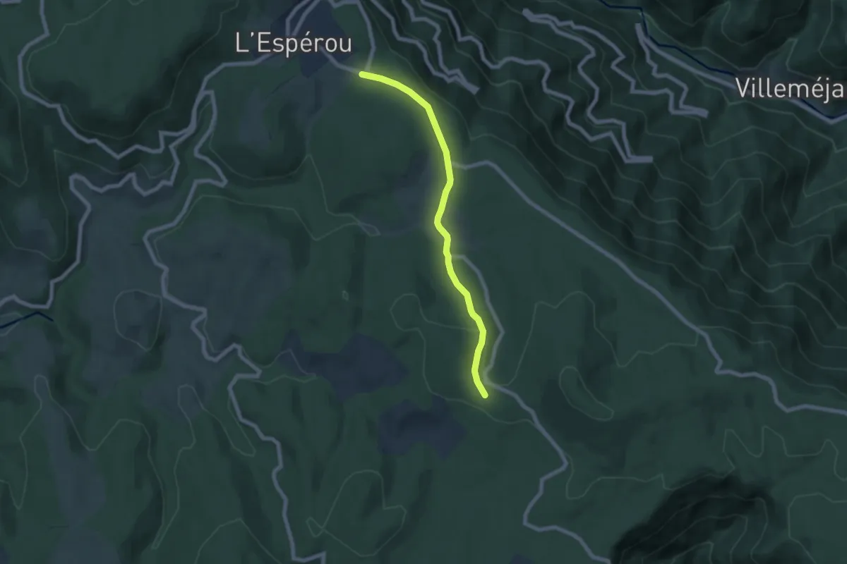
Easy · Trail
CSG 09A : Déviation
6.3 km · ↑ 137 m · 1 h 48 min · 12 km away
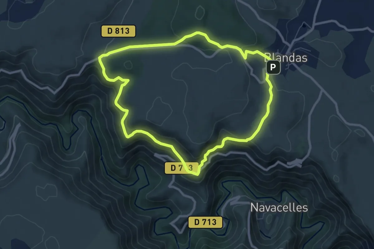
Easy · Trail
Calo Rouge
7.4 km · ↑ 306 m · 2 h 30 min · 12 km away
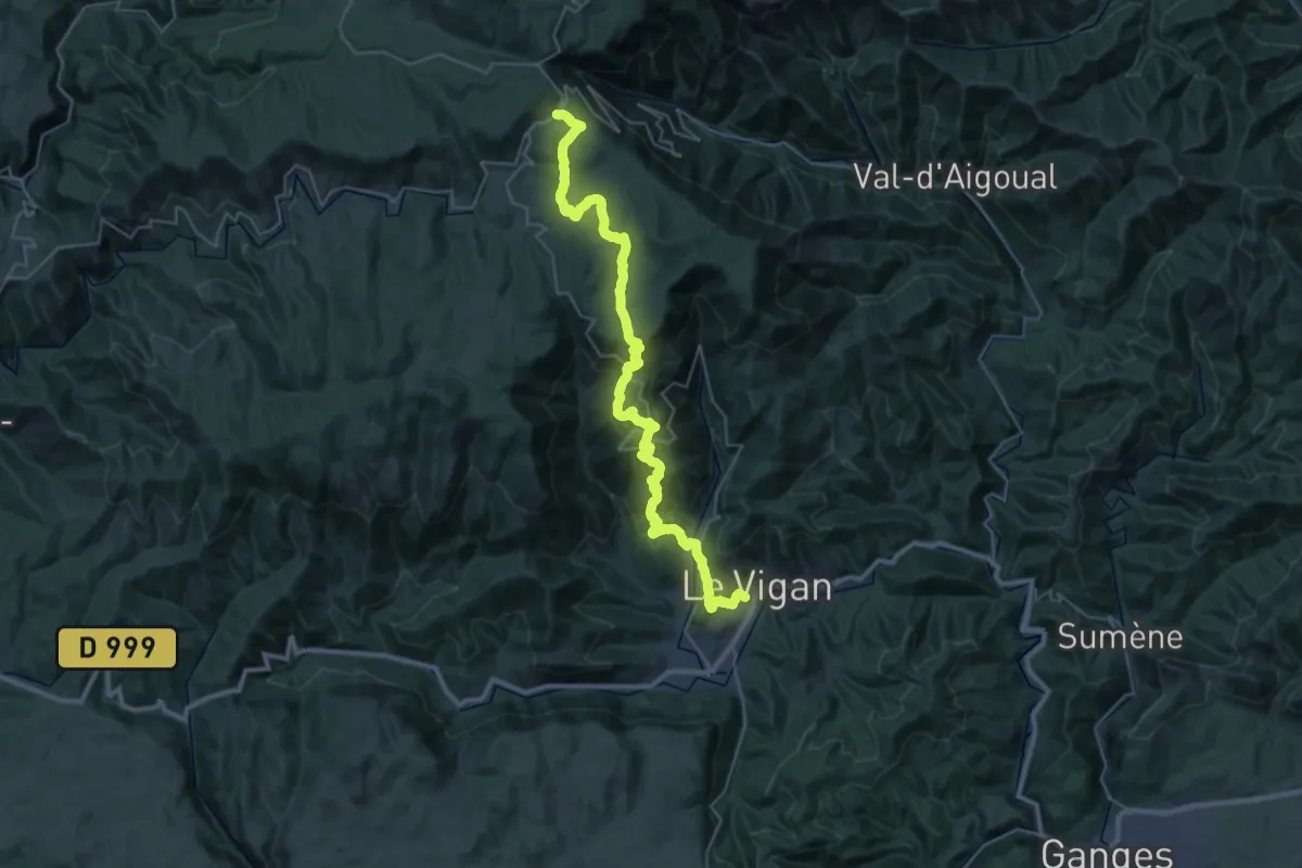
Demanding · Trail
CSG 09 : L'Espérou - Le Vigan
19.8 km · ↑ 310 m · 6 h 7 min · 12 km away
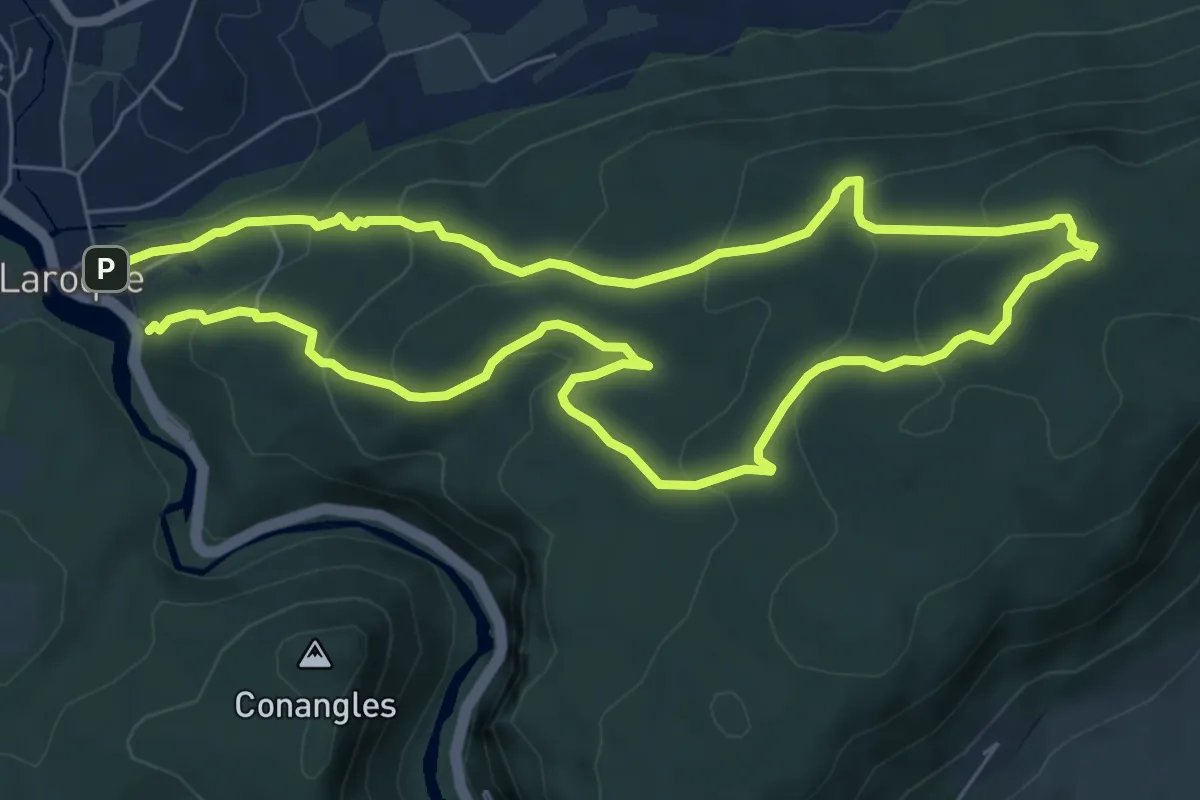
Medium · Trail
PR Plateau du Thaurac
13.9 km · ↑ 663 m · 4 h 43 min · 12 km away
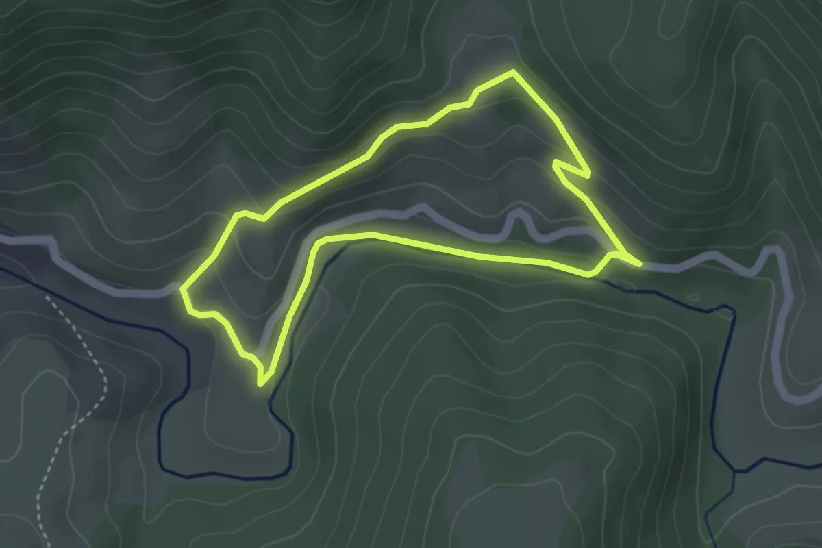
Easy · Trail
Malpertus
3.5 km · ↑ 129 m · 1 h 9 min · 13 km away
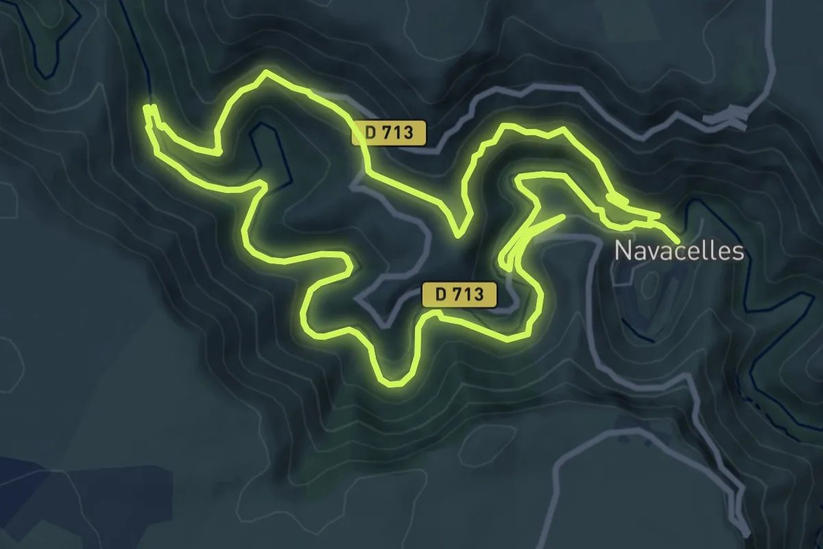
Medium · Trail
Cirque de Navacelles
9.4 km · ↑ 362 m · 3 h 9 min · 13 km away
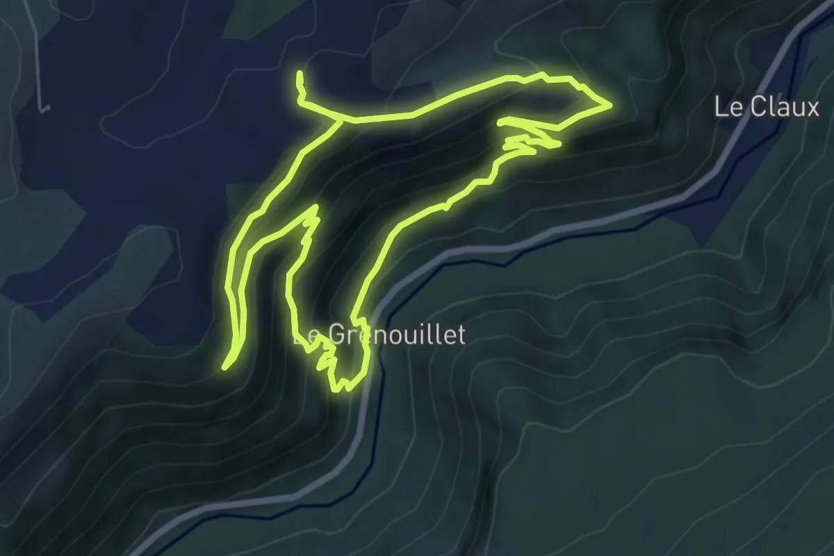
Medium · Trail
Serre de Grenouillet
6.7 km · ↑ 443 m · 2 h 38 min · 13 km away