Trails near Les Herbiers
19 hikes starting within 15 km, nearest first.
Nearest first
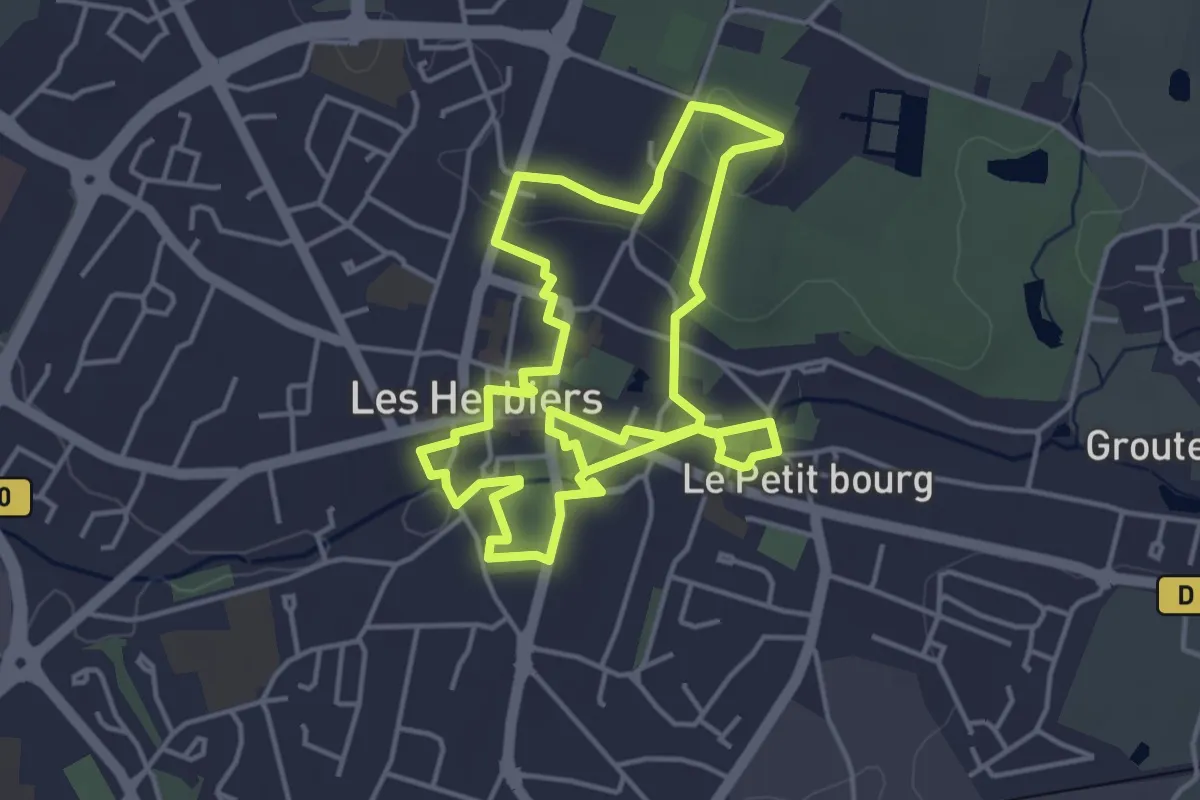
Medium · Trail
Découverte des Herbiers
8.5 km · ↑ 81 m · 2 h 11 min · under 1 km away
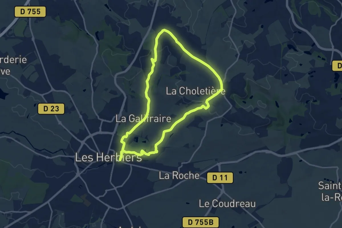
Demanding · Trail
Sentier des crêtes
23.3 km · ↑ 322 m · 6 h 12 min · under 1 km away
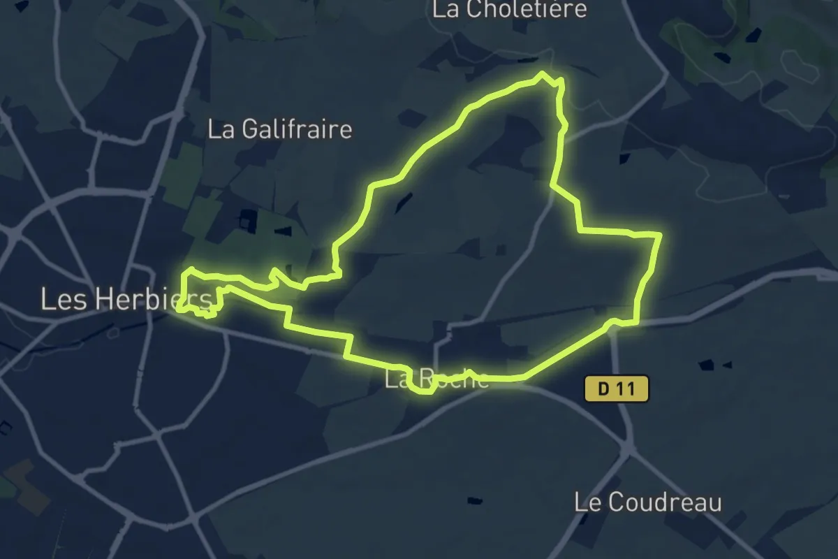
Medium · Trail
Chemin du courrier
9.8 km · ↑ 113 m · 2 h 41 min · under 1 km away
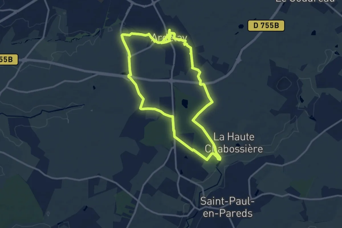
Medium · Trail
Le Boistissandeau
17.8 km · ↑ 97 m · 4 h 25 min · 2 km away
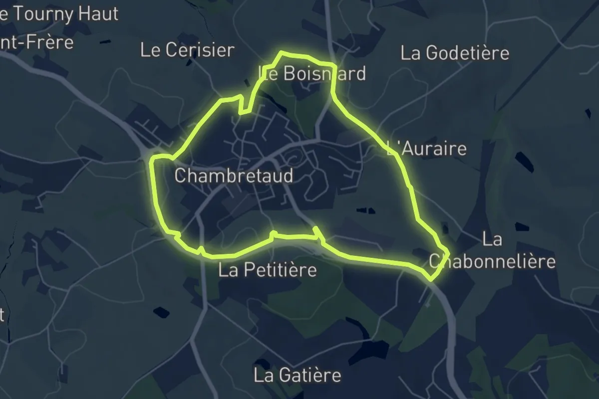
Easy · Trail
Circuit pedestre de Chambretaud
5.9 km · ↑ 81 m · 1 h 38 min · 7 km away
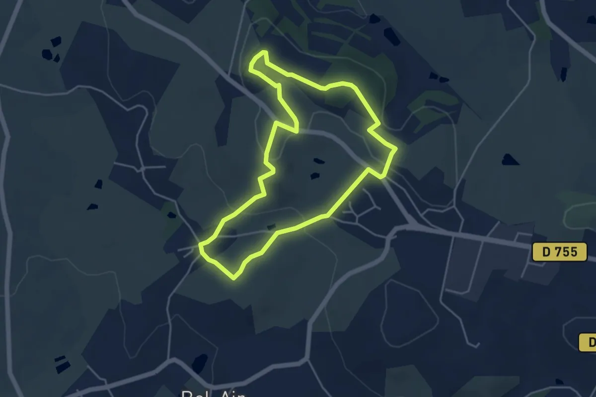
Easy · Summit
Nature et interprétation
4.0 km · ↑ 105 m · 1 h 13 min · 8 km away
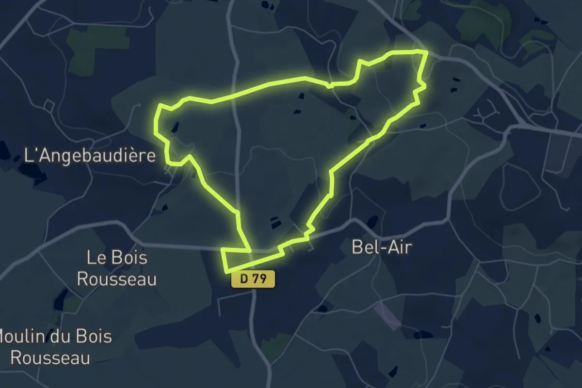
Easy · Trail
Les Moulins
6.6 km · ↑ 123 m · 1 h 55 min · 8 km away
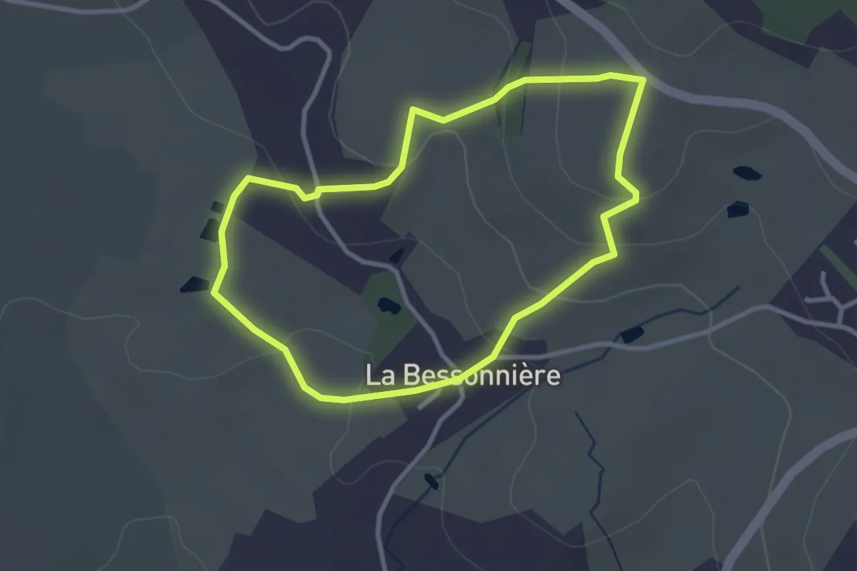
Easy · Trail
Le Raidillon
2.8 km · ↑ 95 m · 54 min · 8 km away
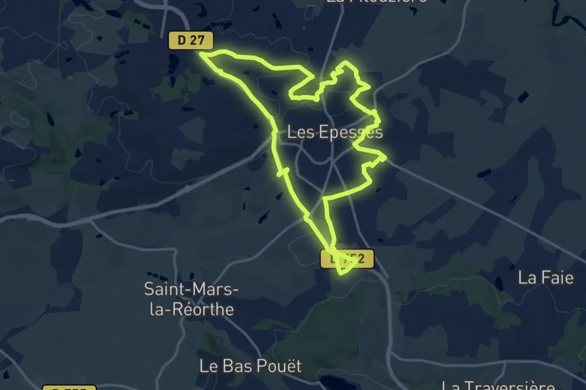
Medium · Trail
Sentier de la Bridurière
12.6 km · ↑ 118 m · 3 h 24 min · 9 km away
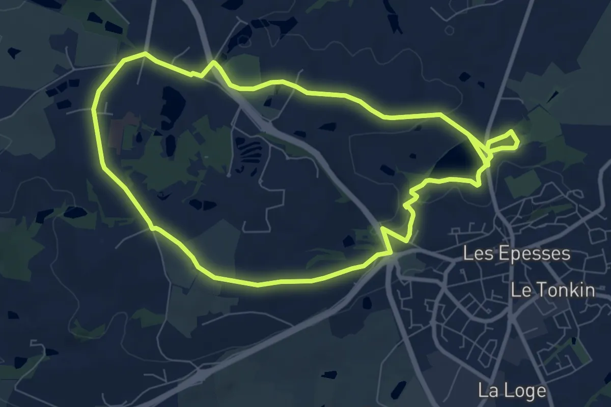
Medium · Trail
Sentier des meuniers
16.1 km · ↑ 149 m · 4 h 7 min · 9 km away
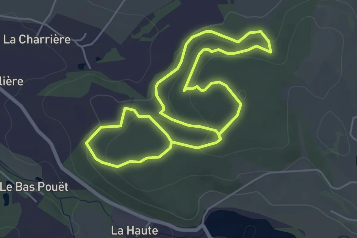
Medium · Trail
Sentier des fourmis
9.0 km · ↑ 256 m · 2 h 40 min · 9 km away
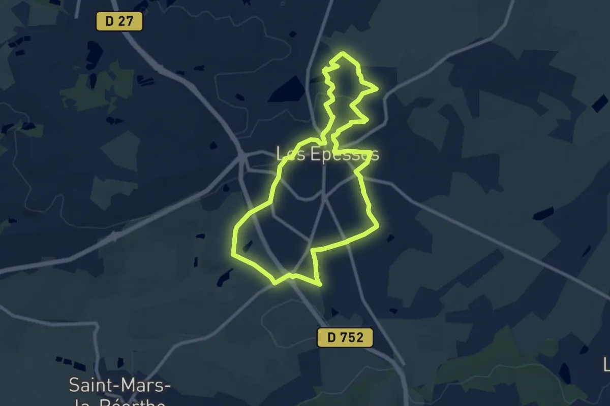
Easy · Trail
Sentier des Trois chênes
7.5 km · ↑ 96 m · 2 h 6 min · 9 km away
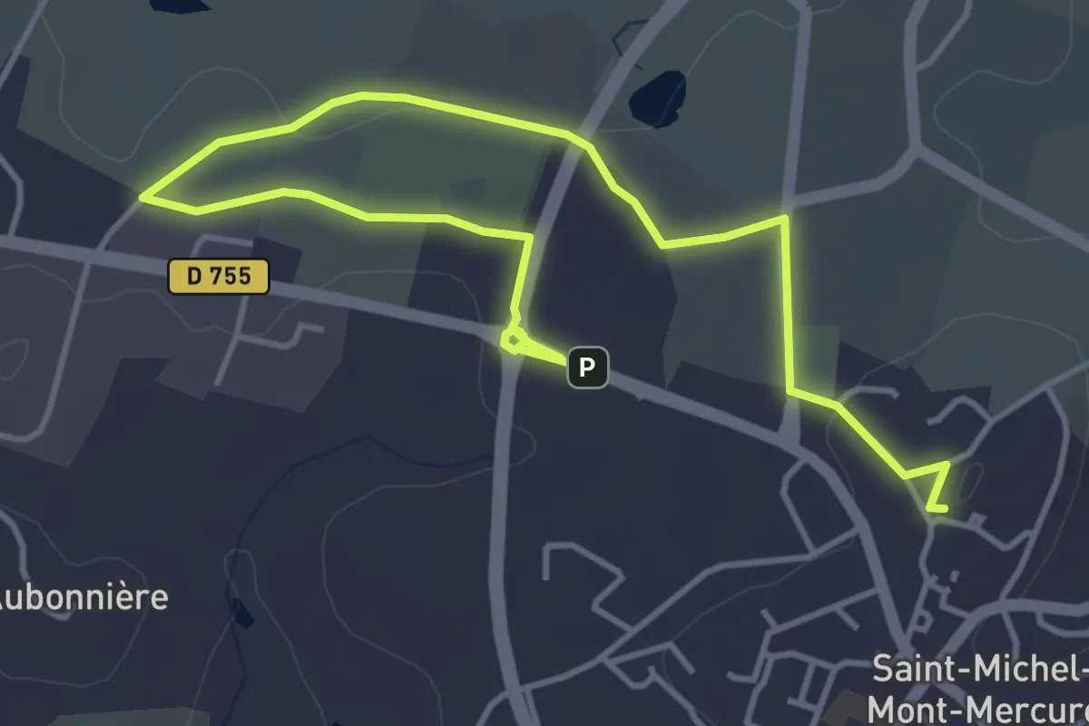
Easy · Summit
Les Vallées
5.8 km · ↑ 61 m · 1 h 30 min · 10 km away
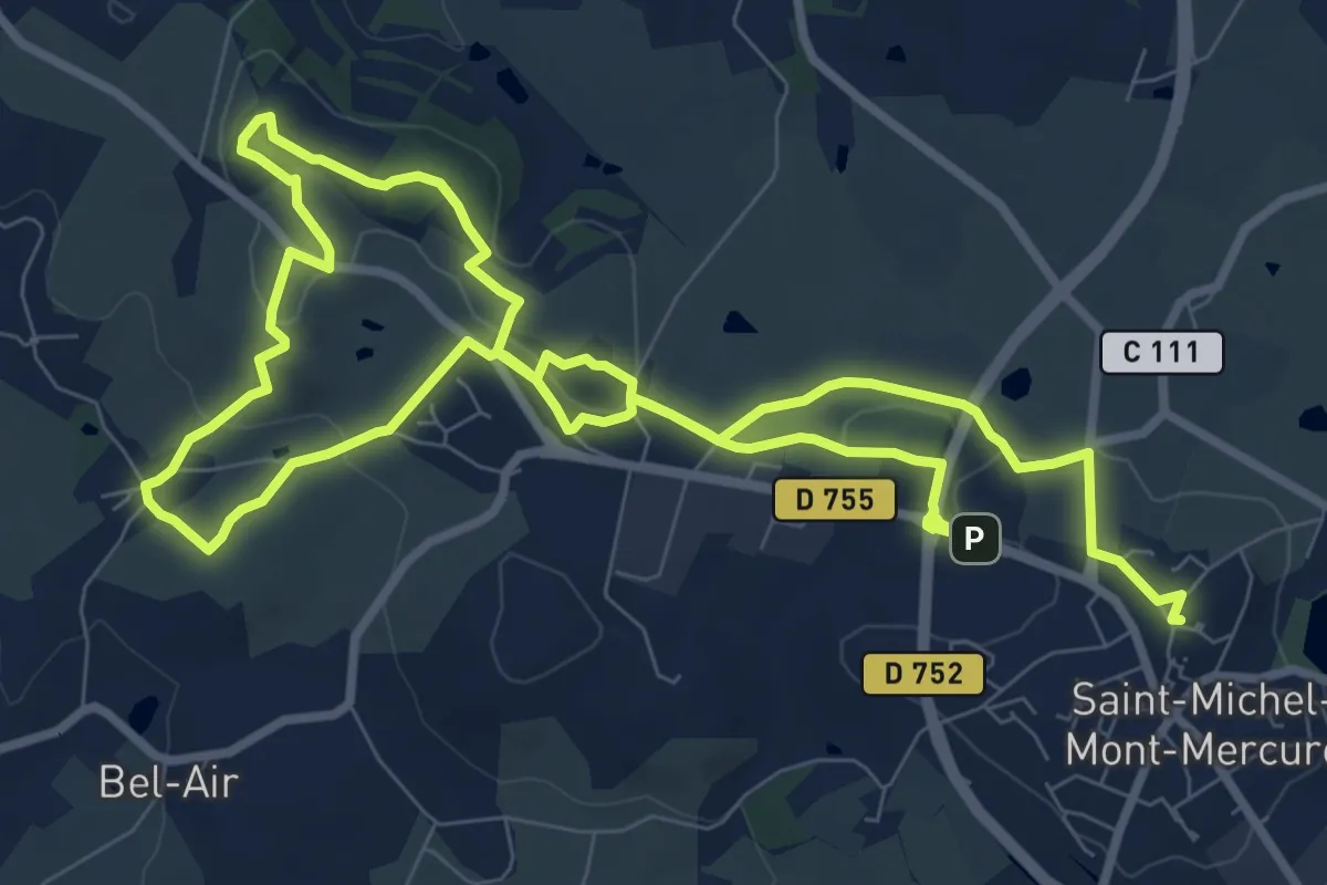
Medium · Summit
Les Châtaigners
16.9 km · ↑ 307 m · 4 h 39 min · 10 km away
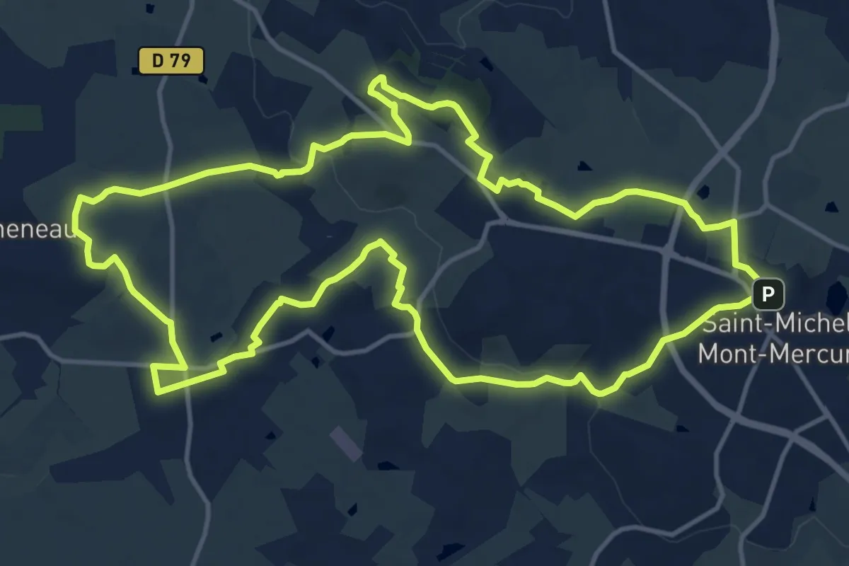
Medium · Summit
Les Sources
14.2 km · ↑ 235 m · 4 h 4 min · 11 km away
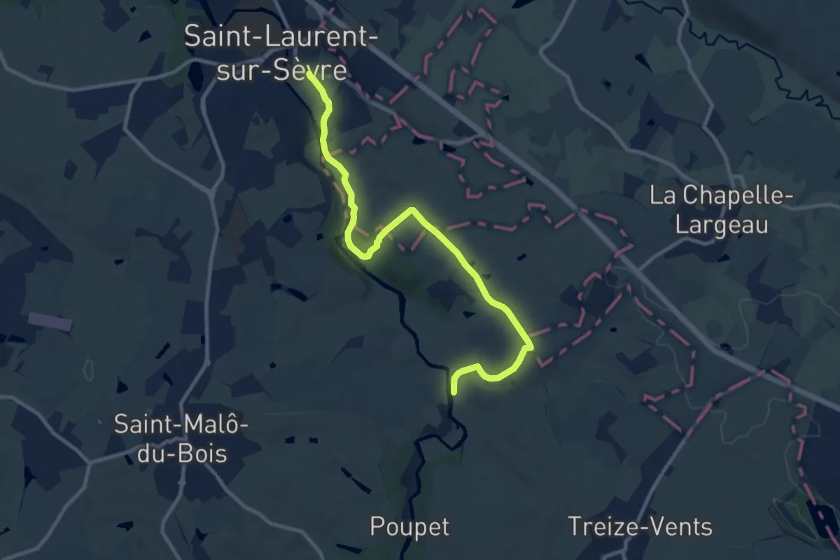
Medium · Trail
Boucle du Bocage
10.4 km · ↑ 147 m · 2 h 46 min · 13 km away
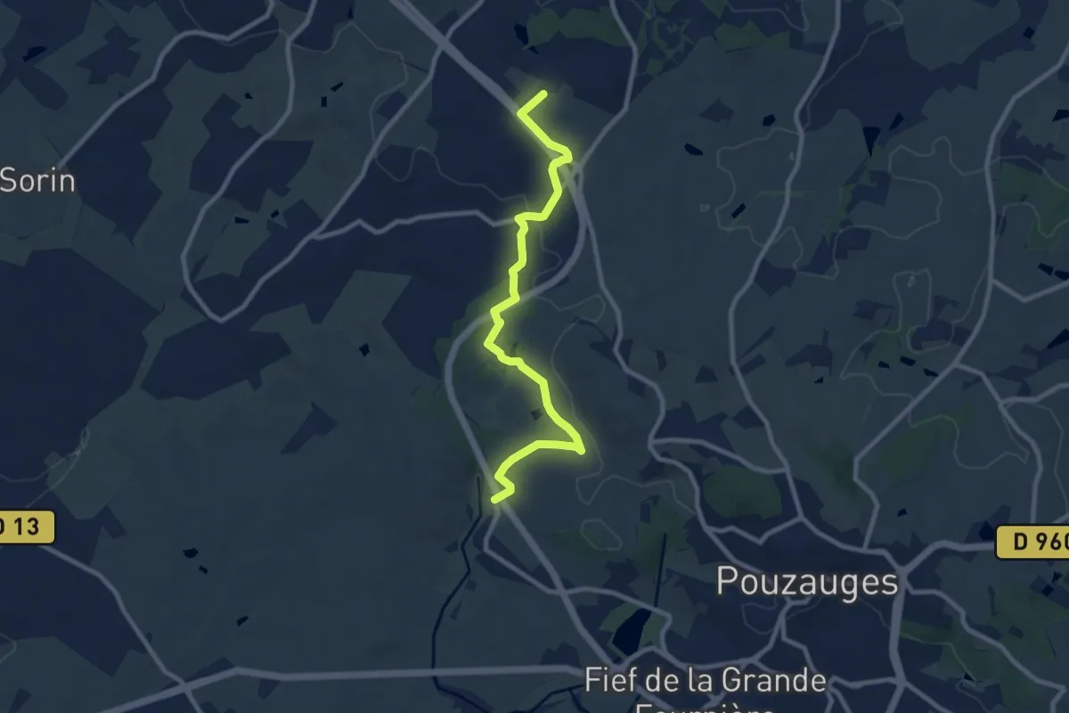
Medium · Trail
Le Pas français
9.1 km · ↑ 108 m · 2 h 23 min · 13 km away
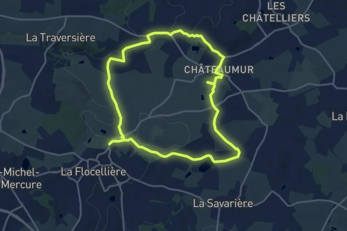
Medium · Trail
Lourdes
9.5 km · ↑ 111 m · 2 h 36 min · 14 km away
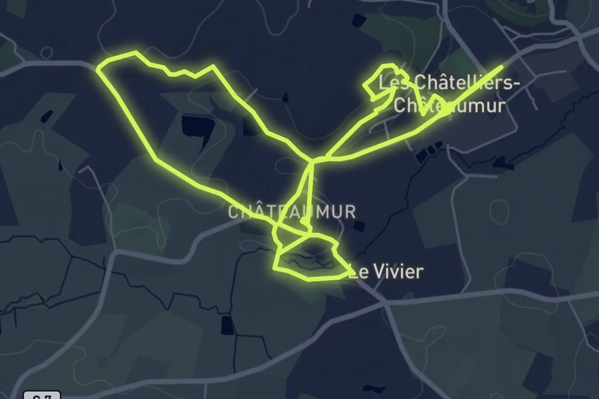
Medium · Trail
Le donjon
14.8 km · ↑ 217 m · 3 h 58 min · 14 km away