Trails near Lourdes
29 hikes starting within 15 km, nearest first.
Nearest first
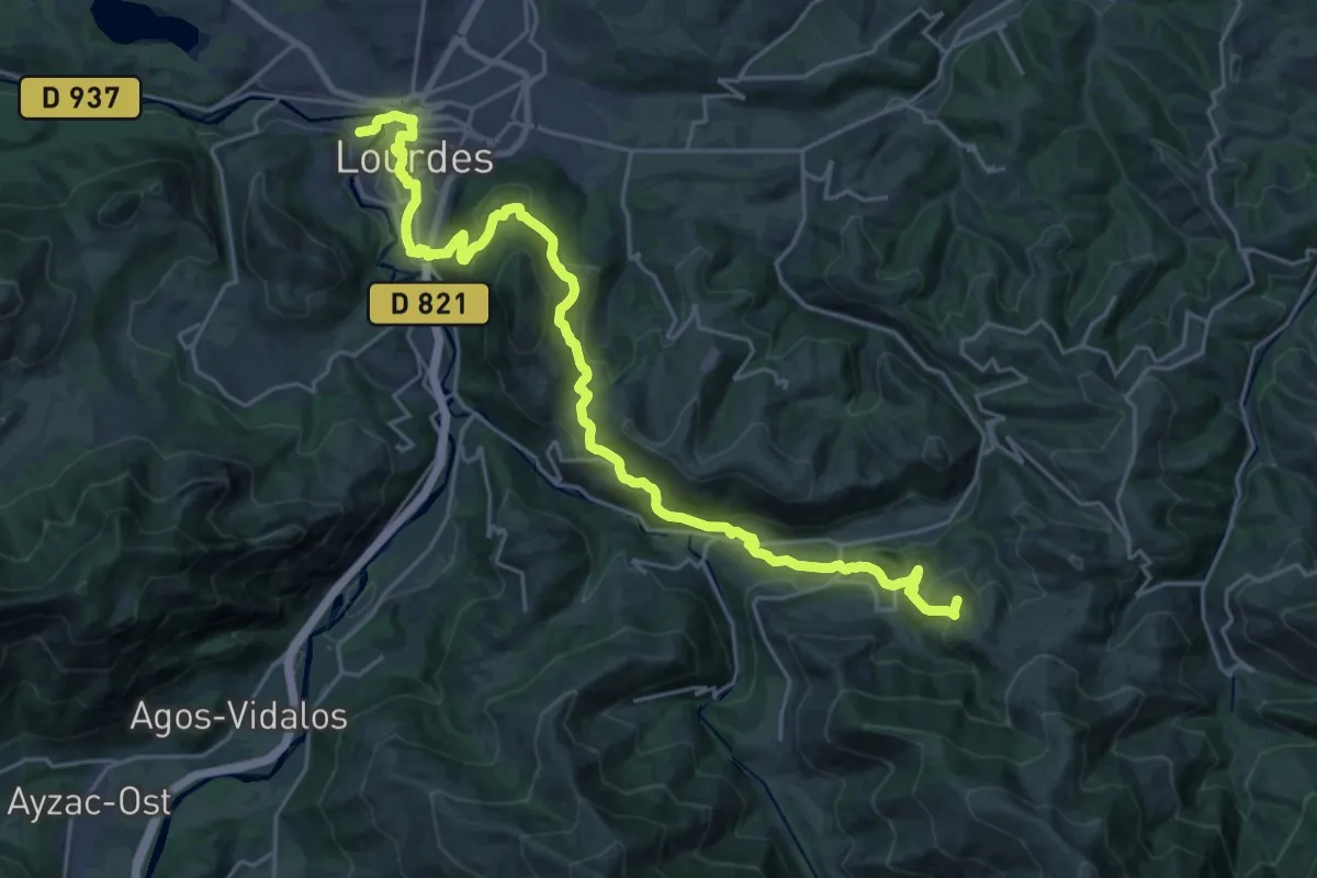
Demanding · Summit
Chemin du Piémont Pyrénéen
29.3 km · ↑ 1271 m · 9 h 40 min · 1 km away
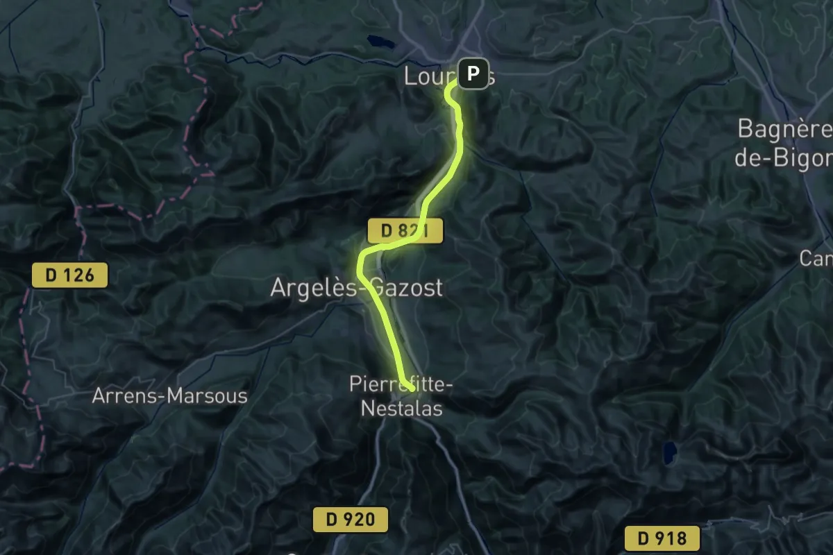
Demanding · Trail
Voie Verte des Gaves
18.9 km · ↑ 171 m · 5 h 4 min · 1 km away
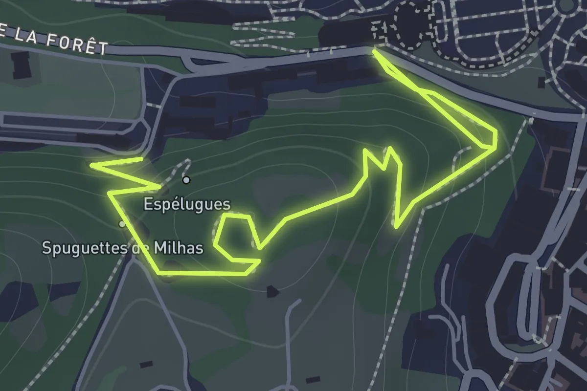
Easy · Trail
Chemin de Croix
2.6 km · ↑ 124 m · 53 min · 1 km away
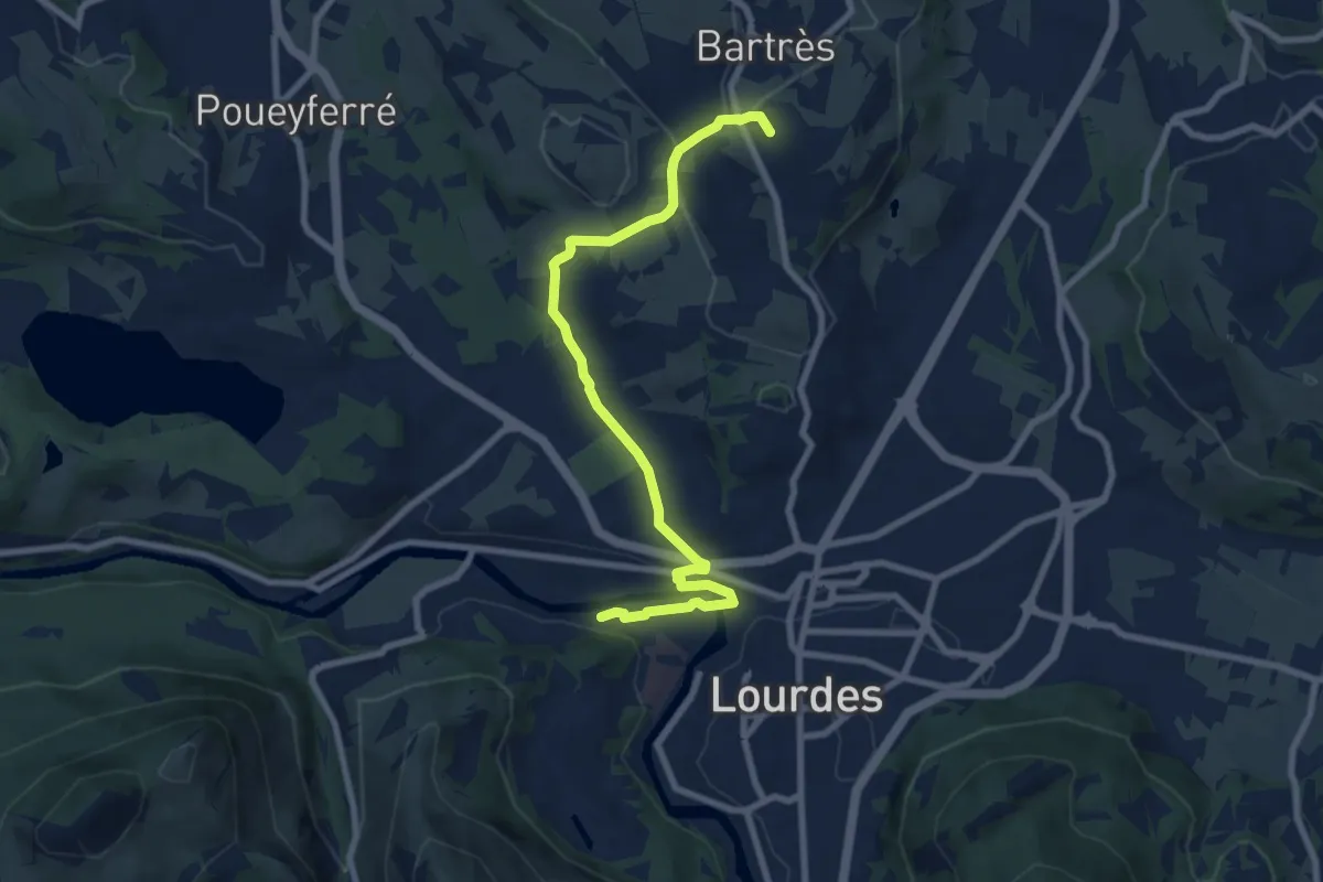
Medium · Pilgrim path
Chemin de Bernadette
4.6 km · ↑ 22 m · 1 h 16 min · 3 km away
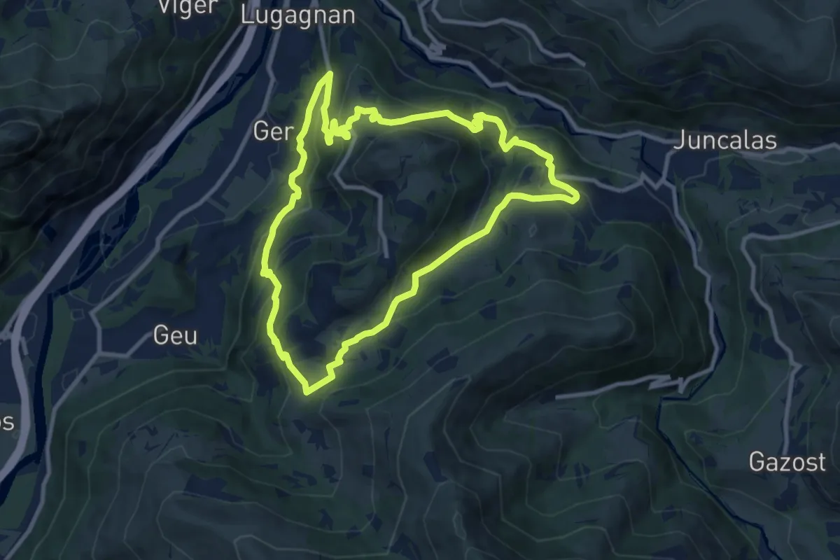
Medium · Trail
Boucle d'Arrimoun
9.5 km · ↑ 544 m · 3 h 34 min · 5 km away
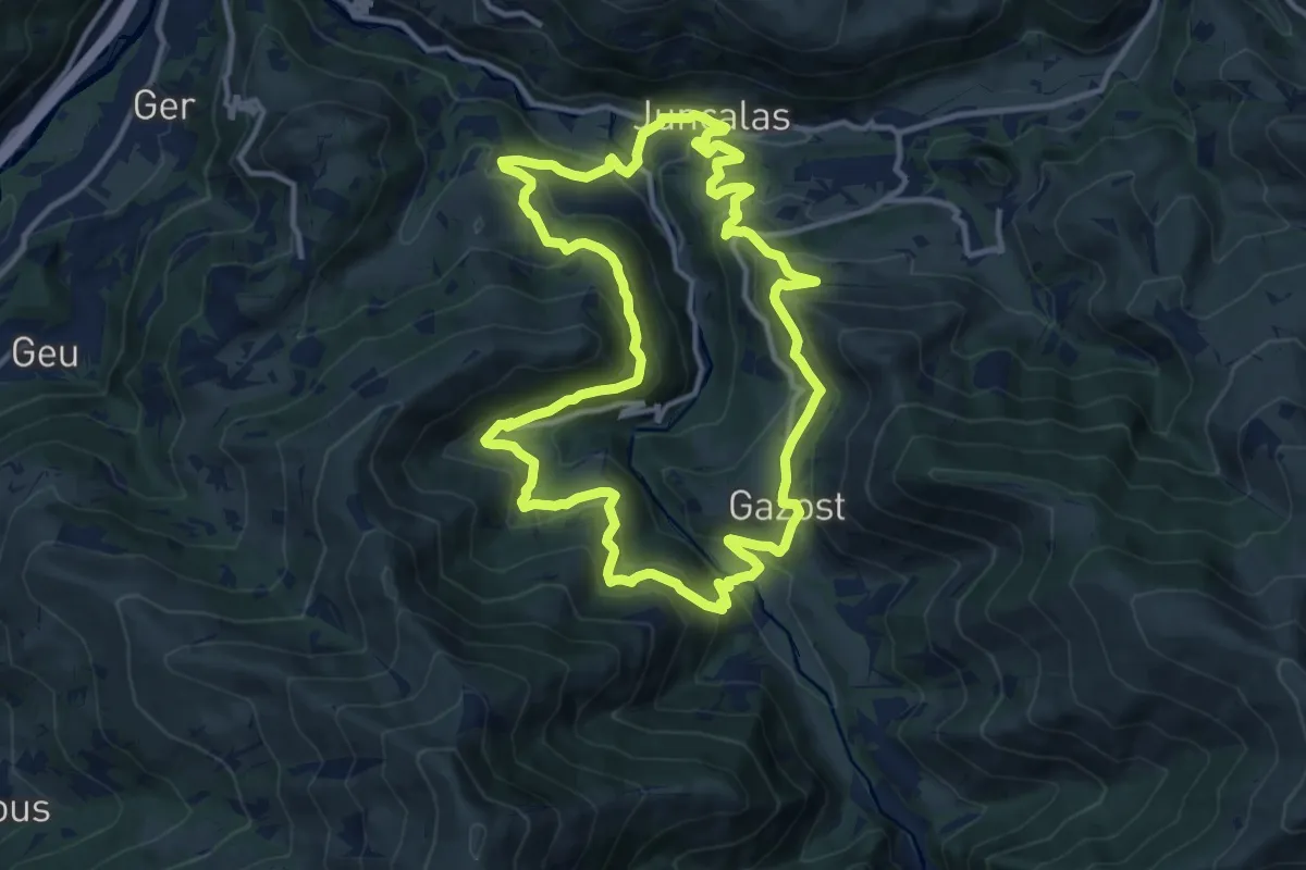
Medium · Trail
Boucle des Enfers
13.2 km · ↑ 643 m · 4 h 41 min · 6 km away
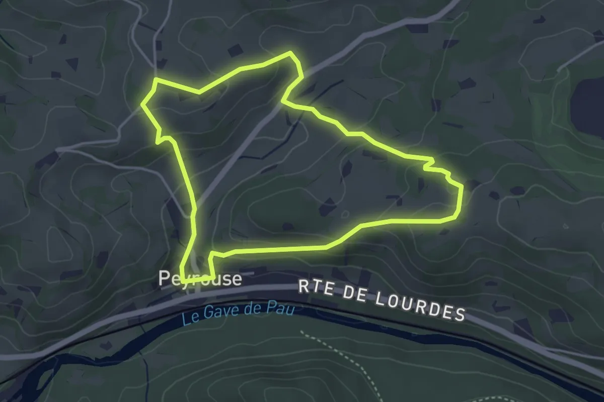
Easy · Trail
Le Chemin du Bédouret
4.1 km · ↑ 168 m · 1 h 23 min · 6 km away
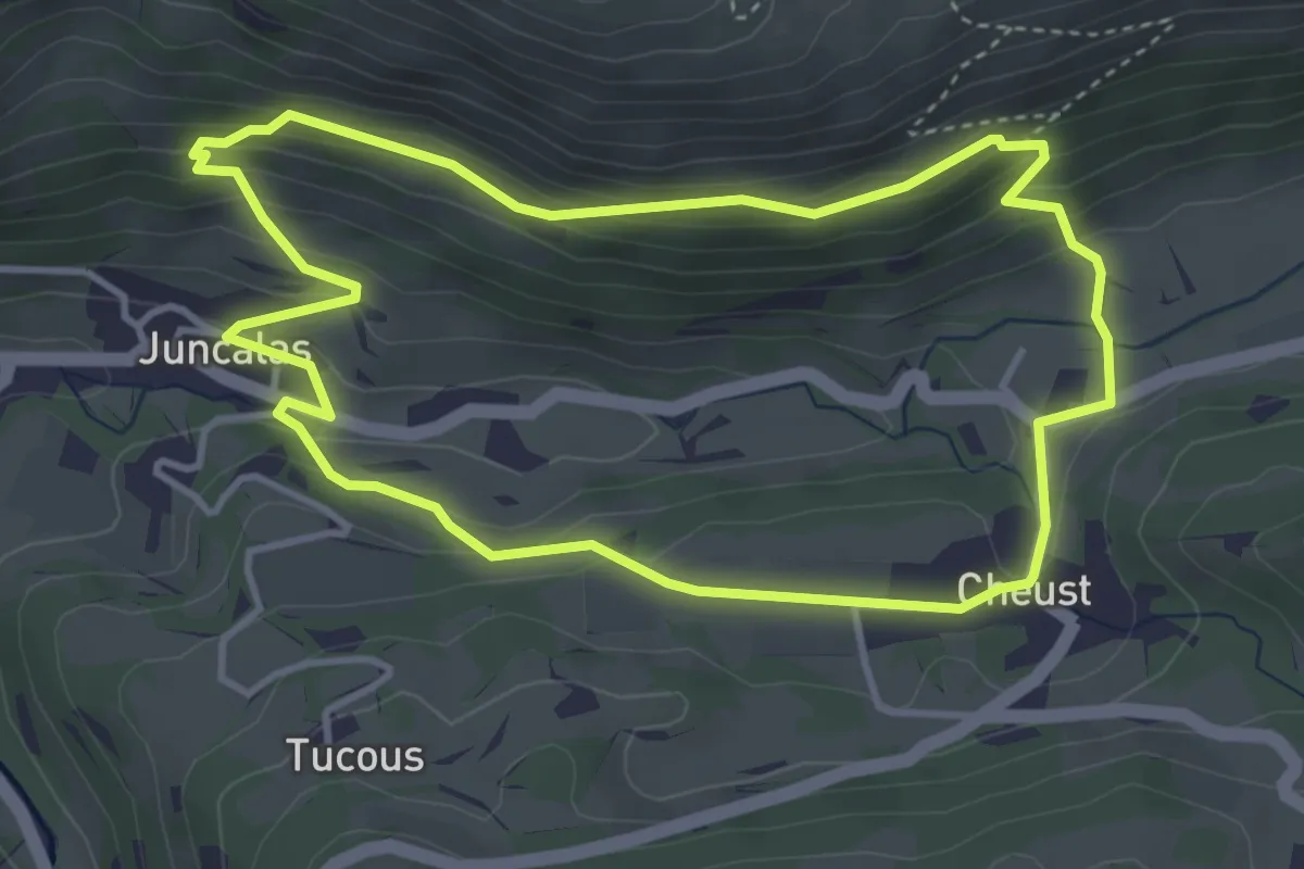
Easy · Trail
Boucle Juncalas Cheust
4.2 km · ↑ 229 m · 1 h 32 min · 6 km away
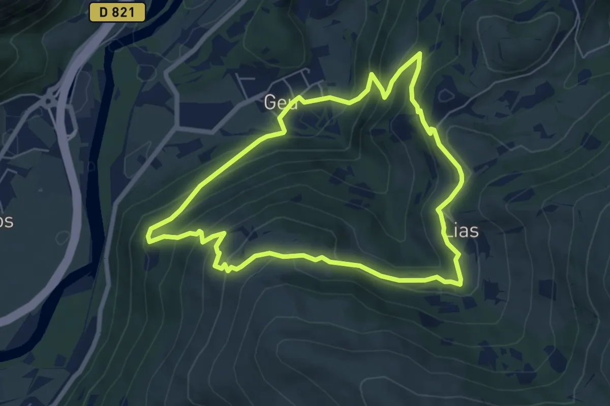
Medium · Trail
Boucle Geu Lias
5.9 km · ↑ 403 m · 2 h 21 min · 6 km away
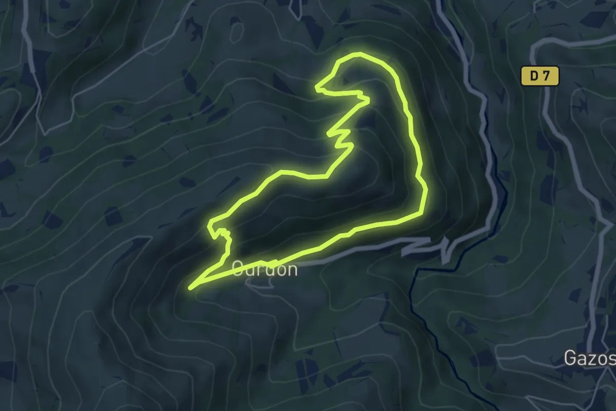
Medium · Summit
Boucle Ousté-Ourdon
5.2 km · ↑ 340 m · 2 h 2 min · 7 km away
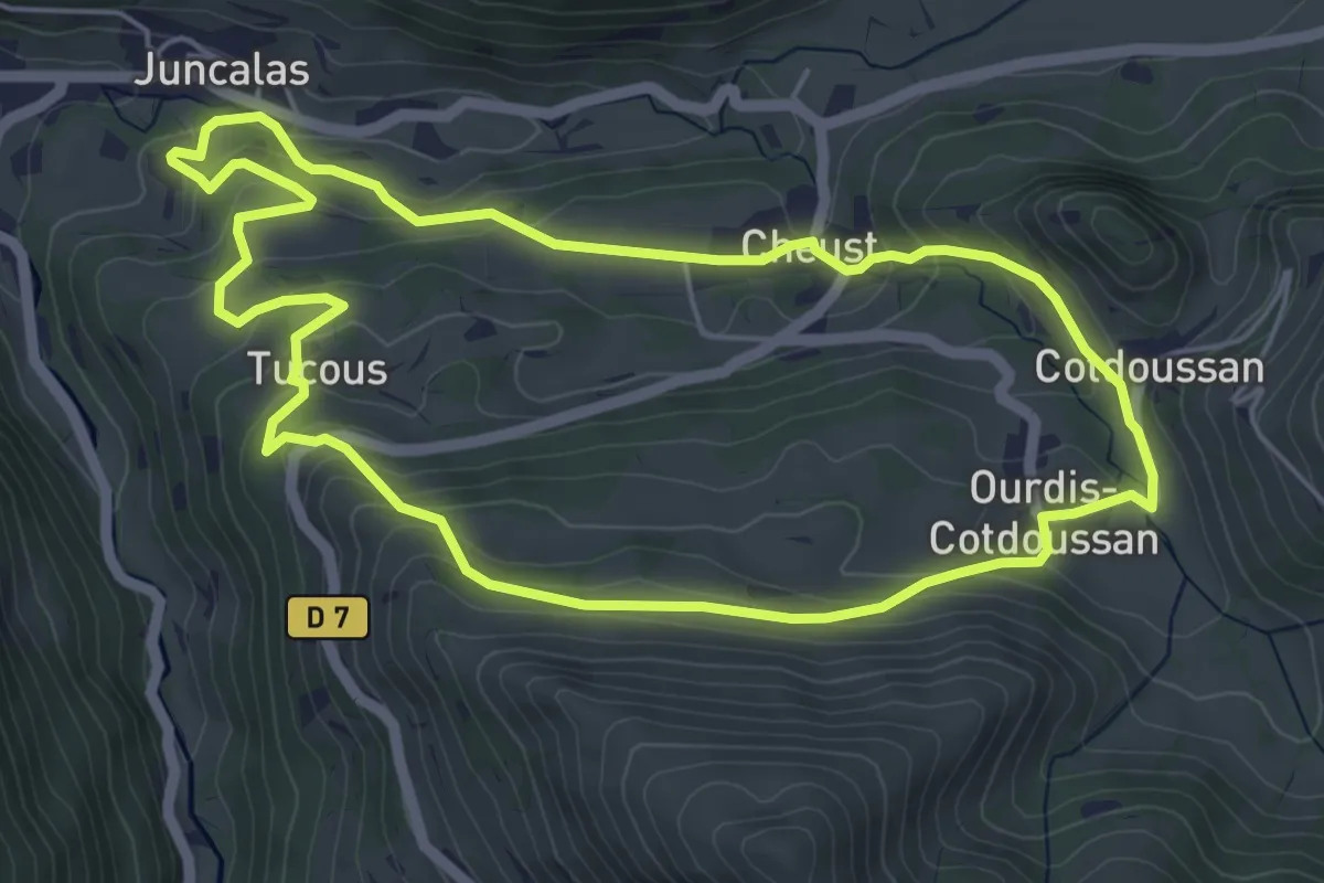
Easy · Trail
Boucle Juncalas-Ourdis
5.8 km · ↑ 250 m · 1 h 59 min · 7 km away
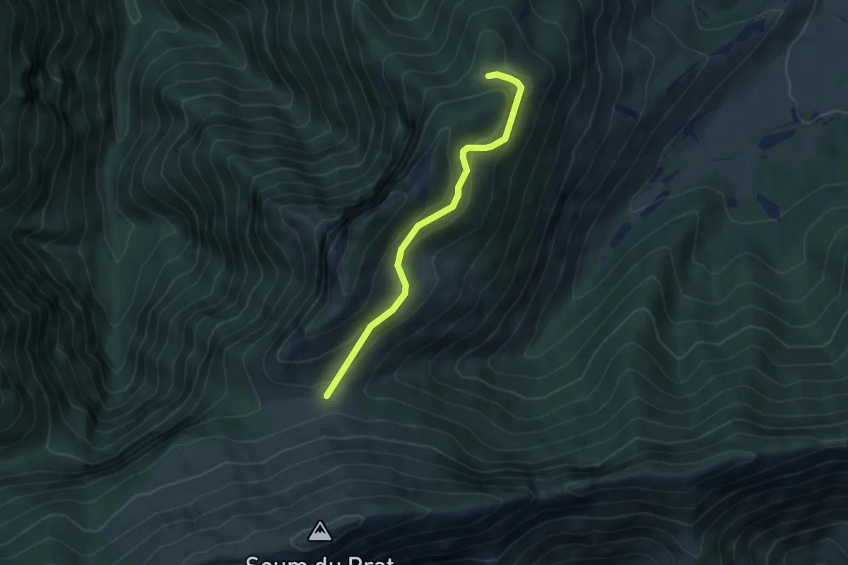
Medium · Trail
Le Pladi - Col du Prat du Rey
4.5 km · ↑ 195 m · 1 h 29 min · 7 km away
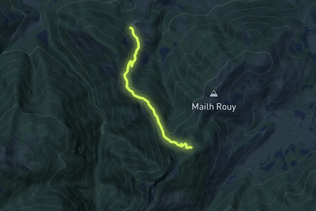
Medium · Trail
Le Sentier du Pladi
7.4 km · ↑ 597 m · 3 h 9 min · 8 km away
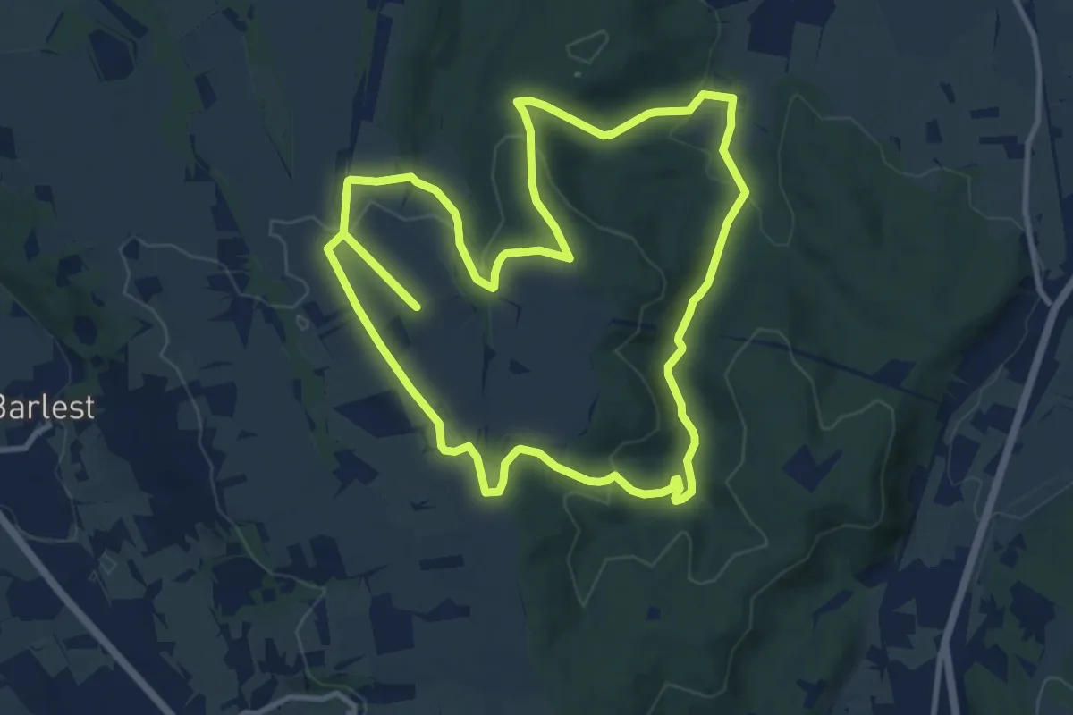
Medium · Summit
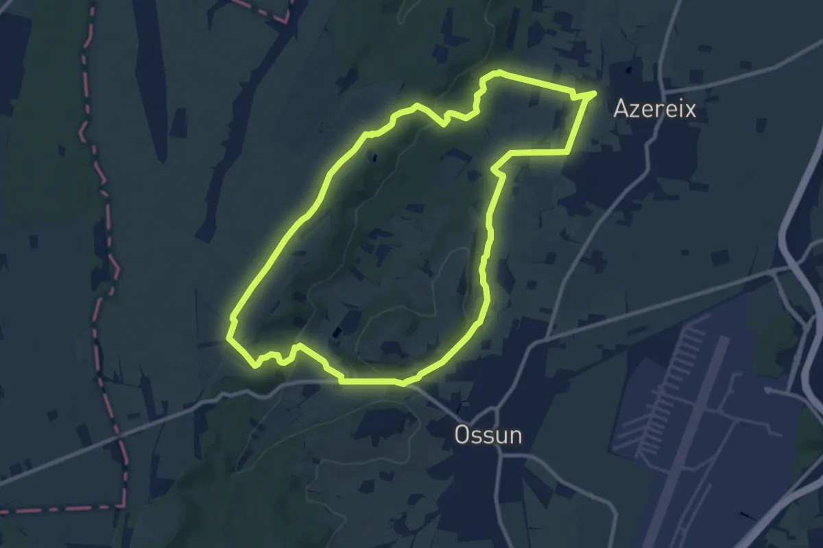
La Forêt d'Ossun
11.7 km · ↑ 244 m · 3 h 27 min · 8 km away
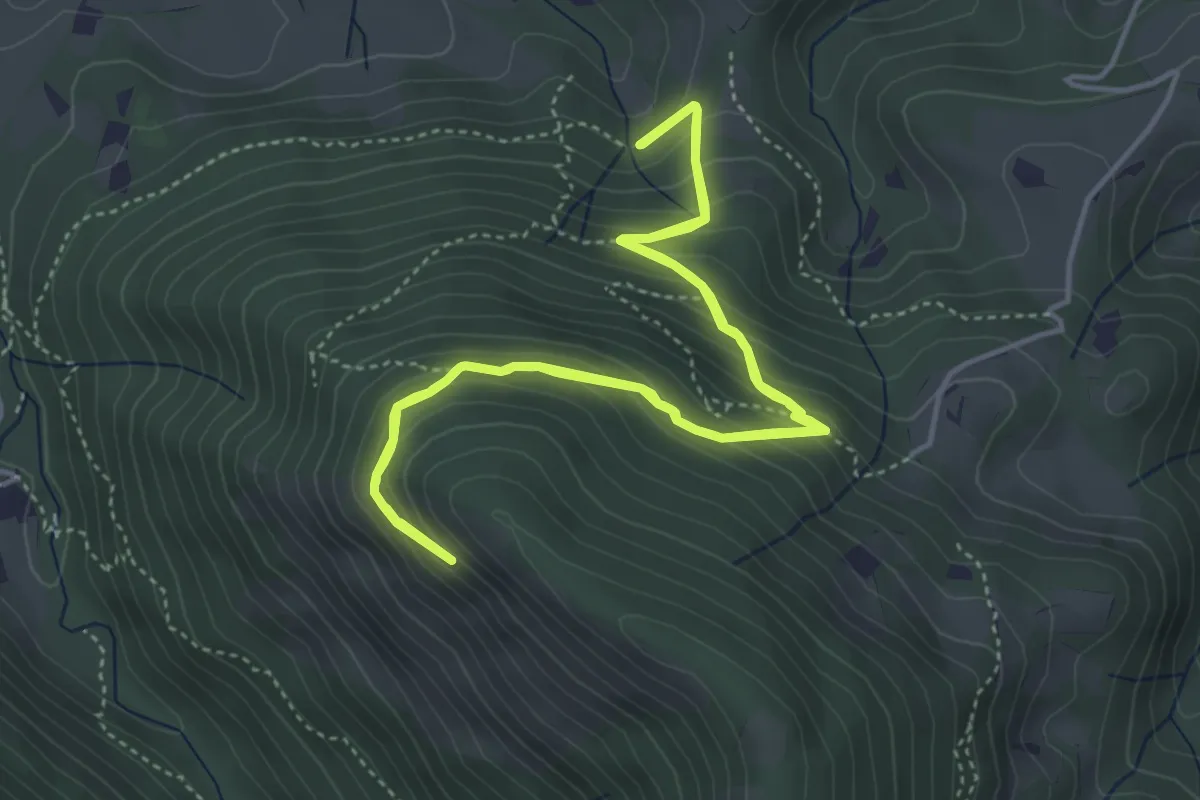
Medium · Trail
Sentier de Découverte en Milieu Kaarstique
4.7 km · ↑ 335 m · 1 h 55 min · 8 km away
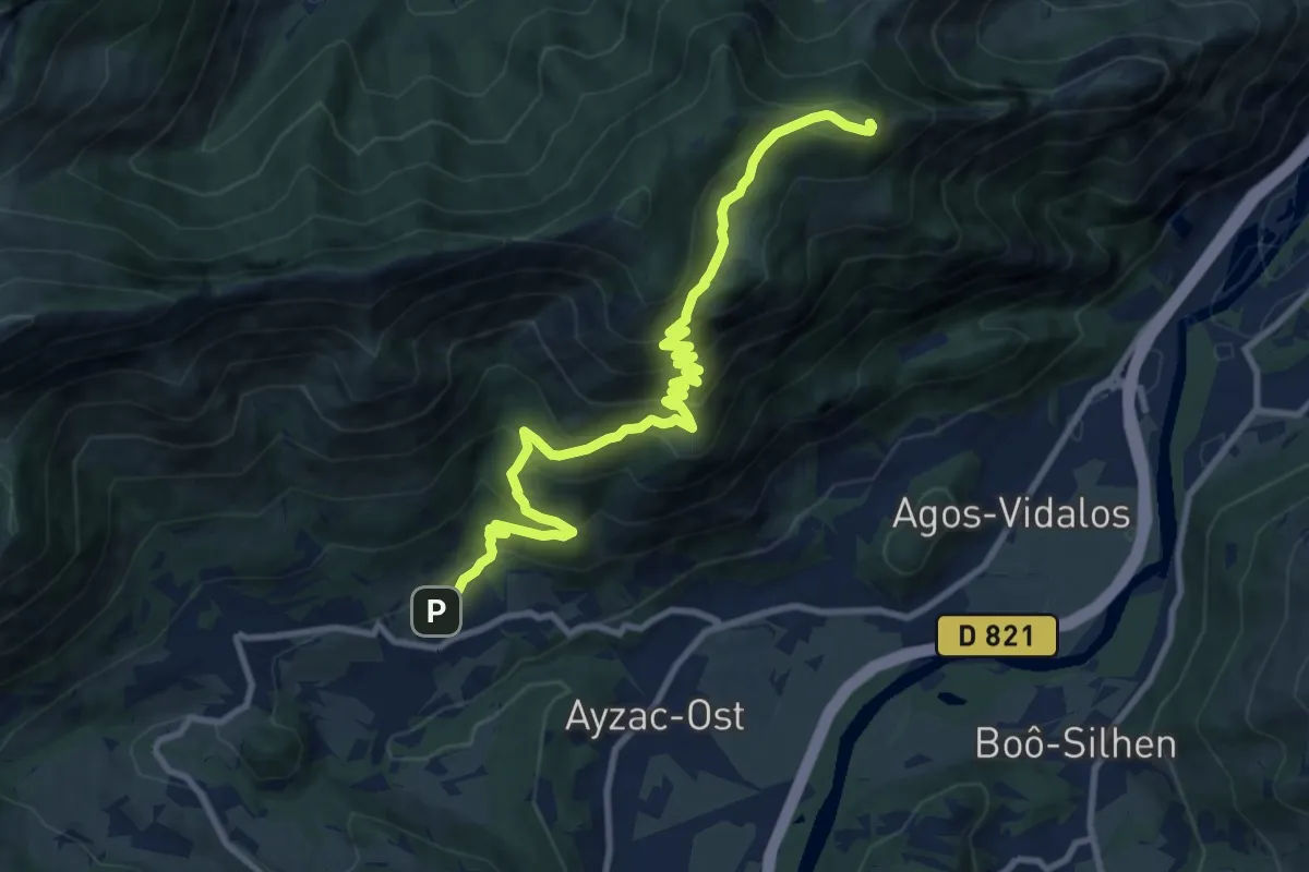
Demanding · Summit
Ouzous - Pic du Pibeste
11.9 km · ↑ 885 m · 4 h 44 min · 9 km away
Medium · Trail
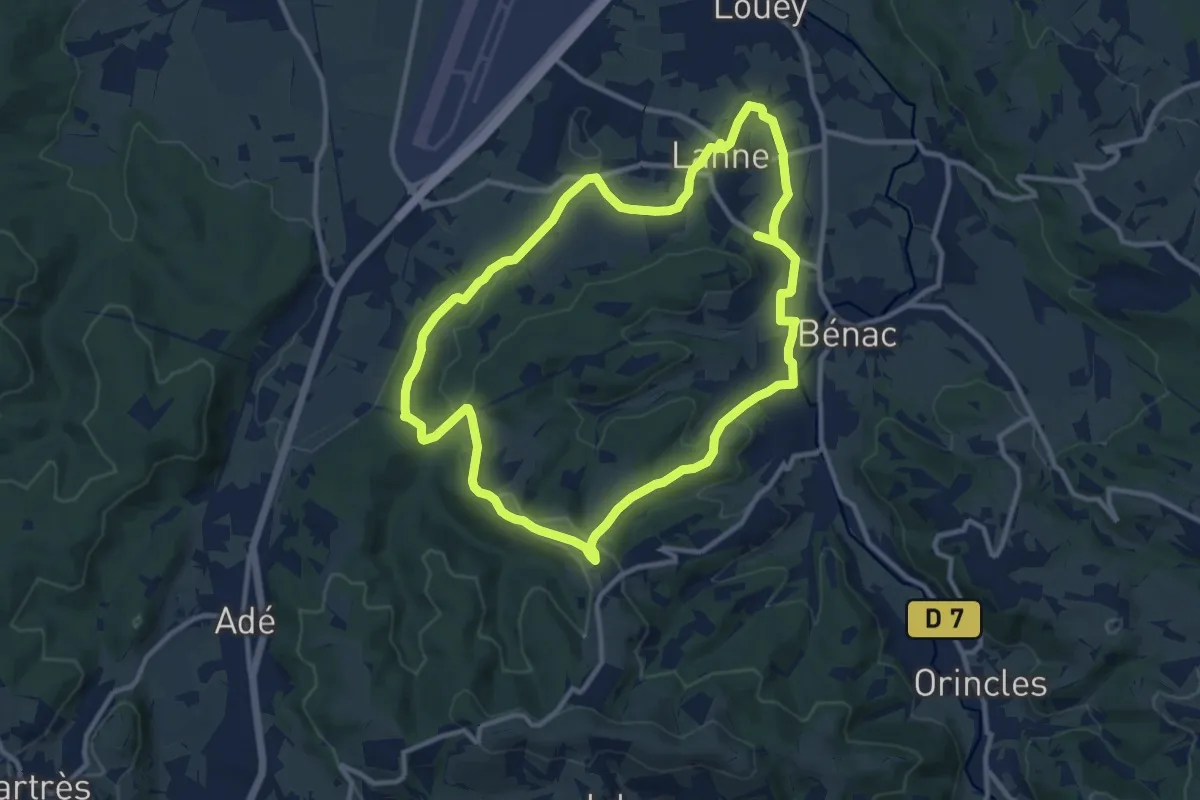
Le Chemin des Crêtes
11.4 km · ↑ 209 m · 3 h 18 min · 9 km away
Medium · Trail
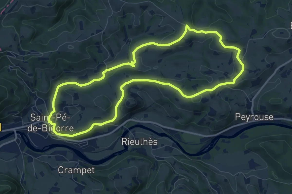
Les Coteaux de Saint-Pé
9.1 km · ↑ 202 m · 2 h 43 min · 9 km away
Medium · Trail
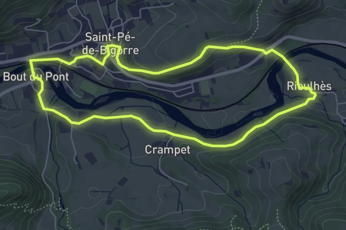
Lengous et Montagnou
5.3 km · ↑ 132 m · 1 h 37 min · 9 km away
Medium · Trail
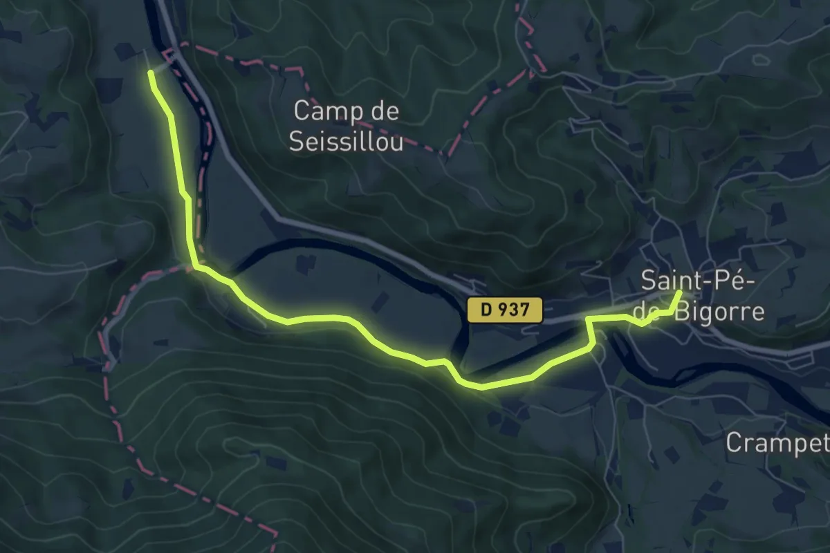
Saint-Pé-de-Bigorre – Bruges
8.4 km · ↑ 106 m · 2 h 13 min · 9 km away
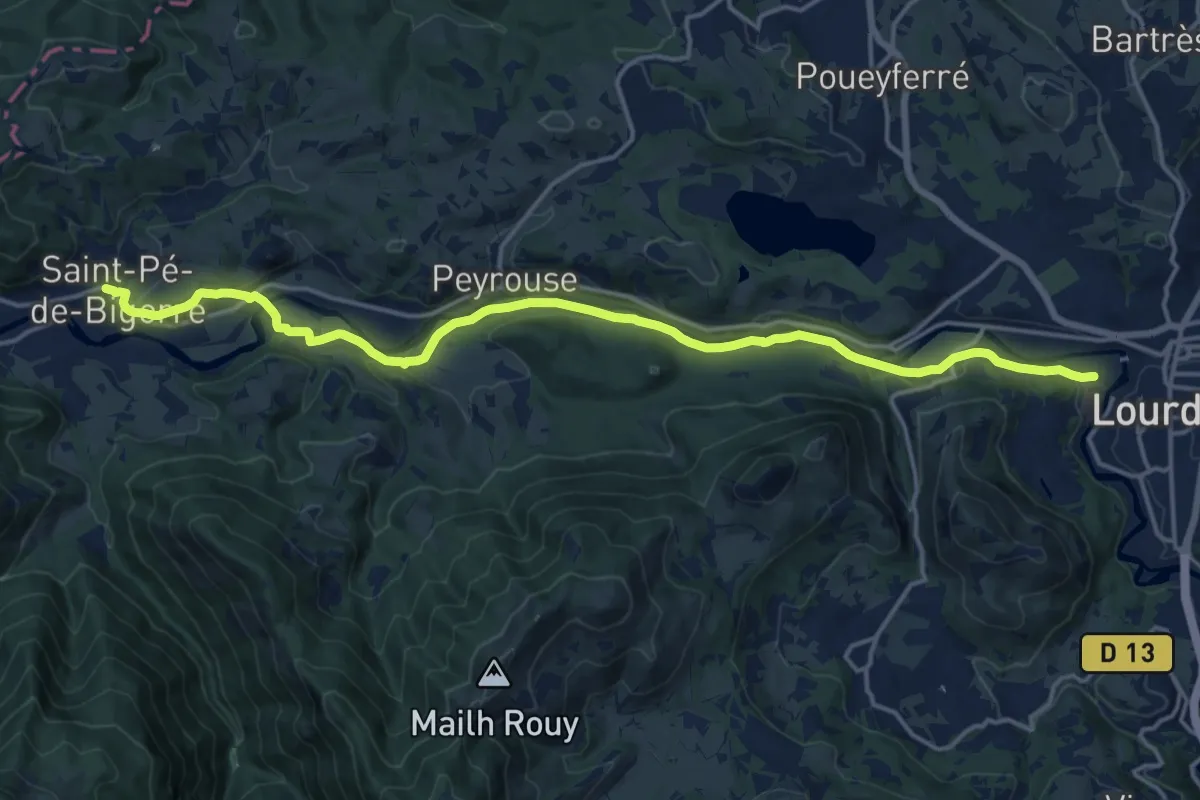
Demanding · Trail
Chemin du Piémont Pyrénéen
19.2 km · ↑ 367 m · 5 h 20 min · 9 km away
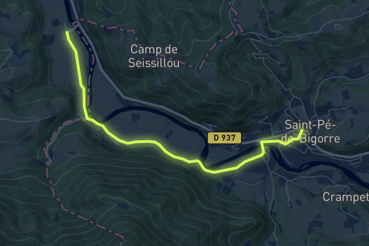
Medium · Trail
Chemin du Piémont Pyrénéen
8.4 km · ↑ 106 m · 2 h 13 min · 9 km away
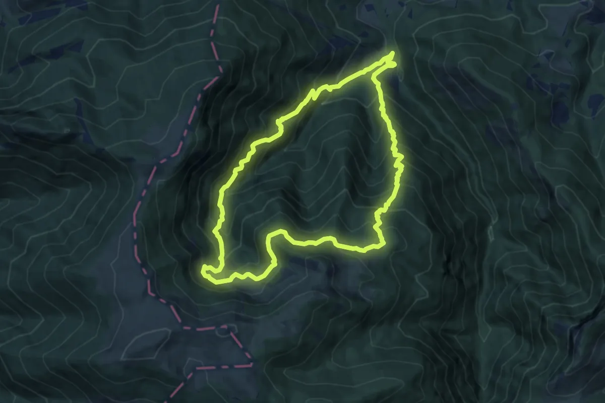
Demanding · Summit
Les Estives de l'Aoulhet
10.7 km · ↑ 936 m · 4 h 42 min · 9 km away
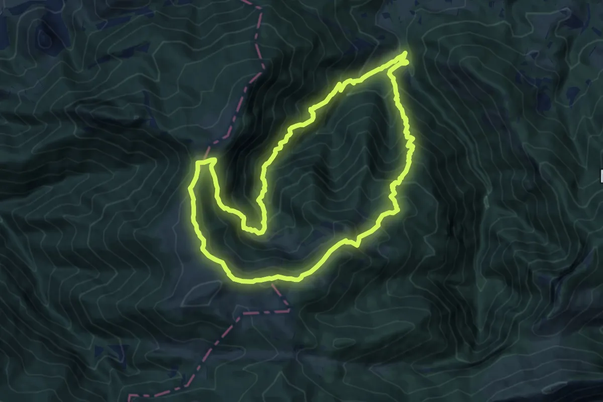
Demanding · Summit
L'Isarce et les Crêtes
14.2 km · ↑ 1242 m · 6 h 14 min · 9 km away
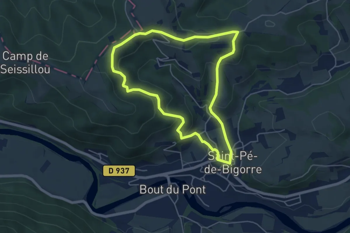
Easy · Trail
Le Plateau du Mousqué
4.5 km · ↑ 199 m · 1 h 33 min · 10 km away
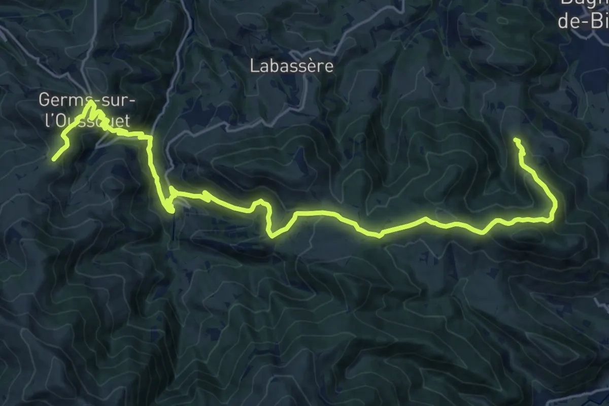
Demanding · Summit
Chemin du Piémont Pyrénéen
26.6 km · ↑ 1178 m · 8 h 50 min · 10 km away
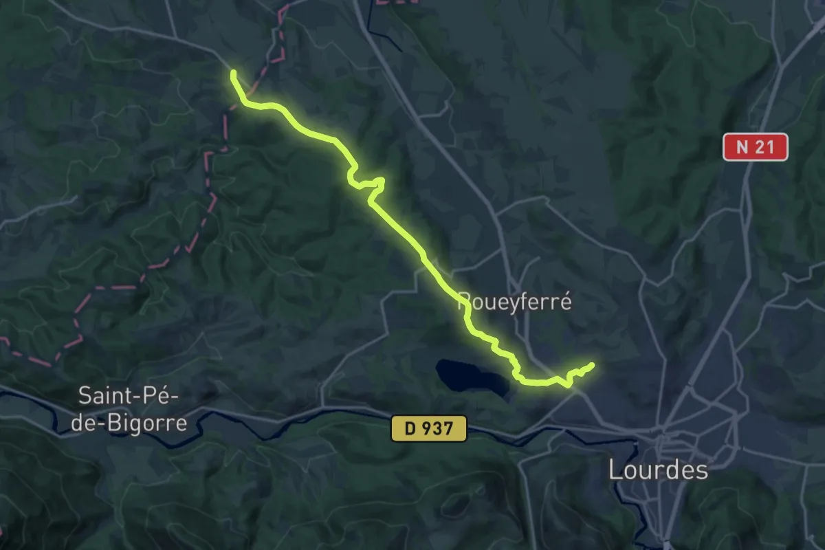
Demanding · Trail
Chemin Henri IV
20.3 km · ↑ 257 m · 5 h 21 min · 10 km away
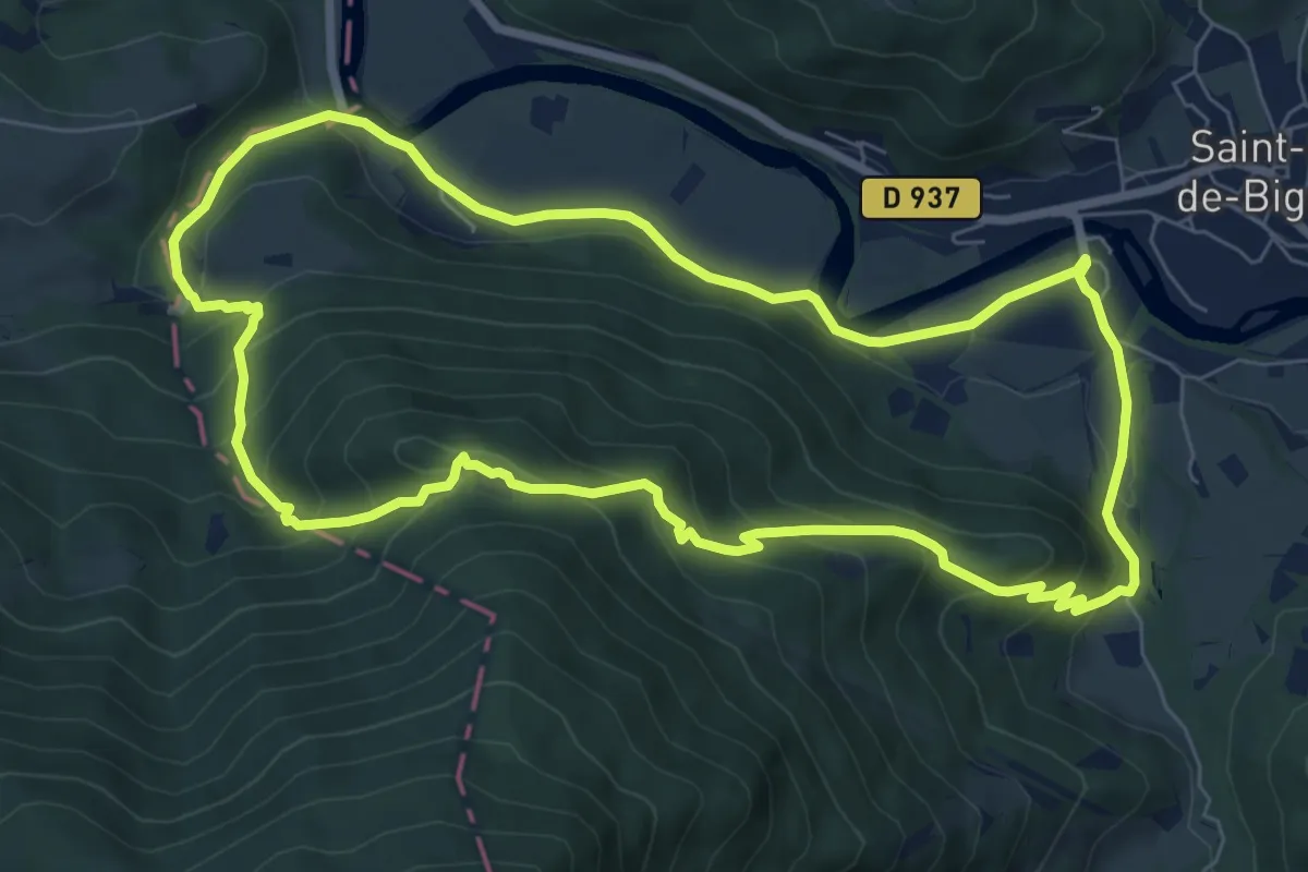
Medium · Trail
Le sentier du Bénac
8.3 km · ↑ 459 m · 3 h 3 min · 12 km away
Medium · Trail
Les 3 Chapelles
10.9 km · ↑ 169 m · 3 h 5 min · 13 km away