Trails near Mazamet
38 hikes starting within 15 km, nearest first.
Nearest first
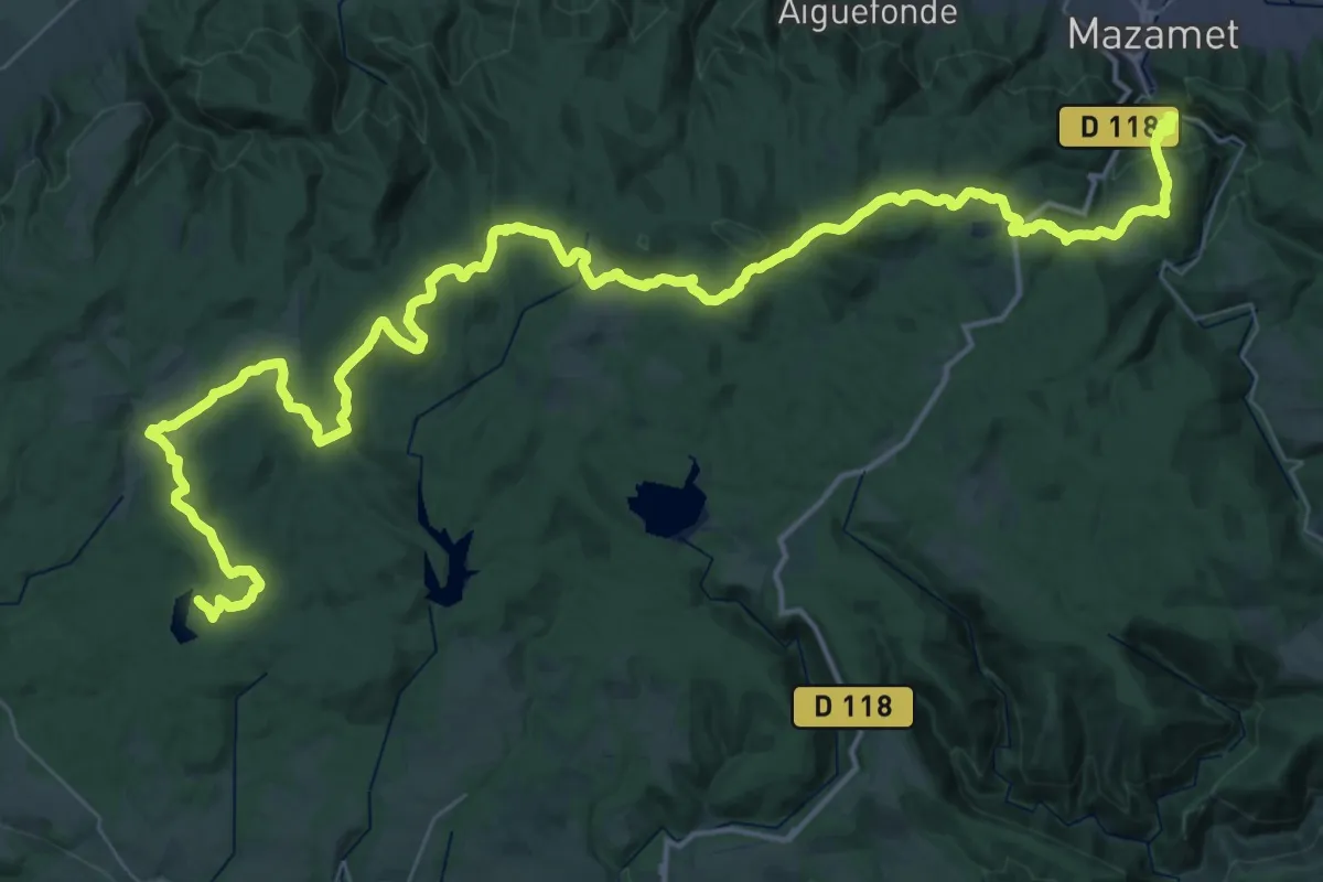
Demanding · Trail
Des Vosges aux Pyrénées 10, Mazamet - Revel
33.8 km · ↑ 1117 m · 10 h 43 min · 1 km away
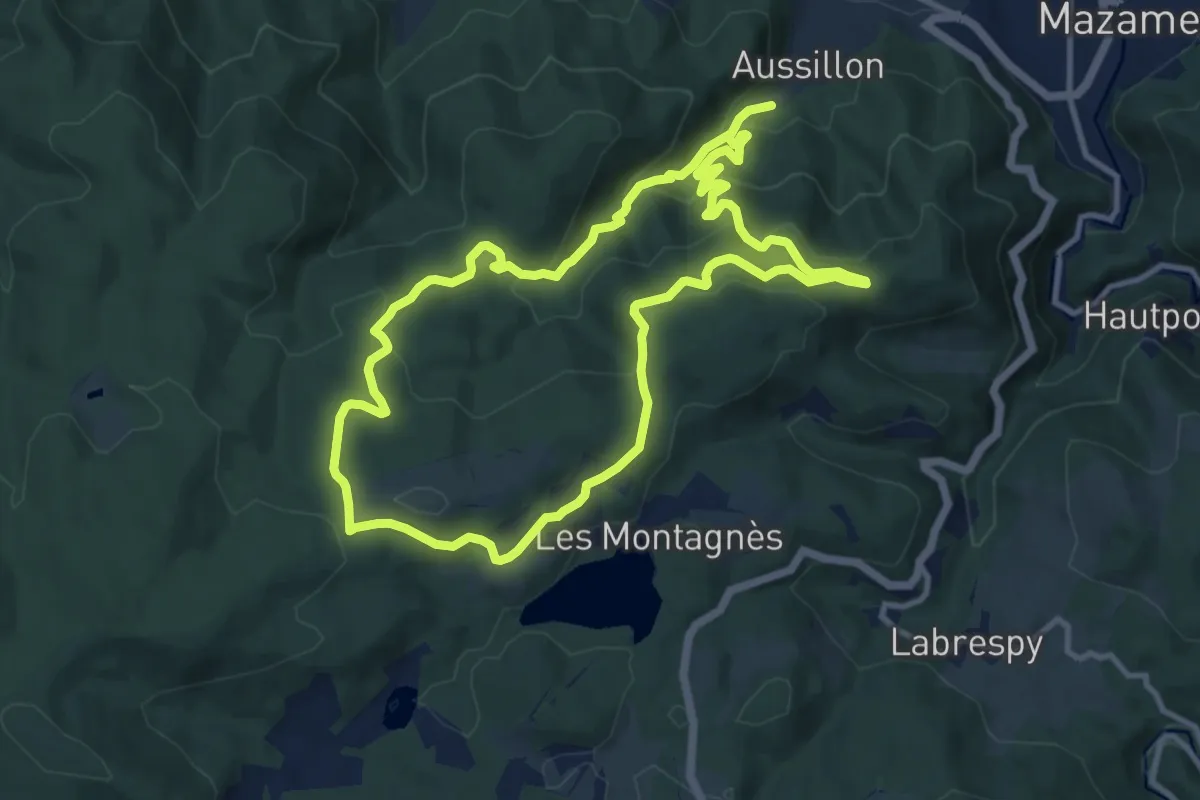
Demanding · Trail
Puech d’En Blanc
22.2 km · ↑ 997 m · 7 h 24 min · 2 km away
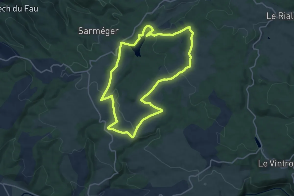
Medium · Trail
Les hauts de la Môle
11.1 km · ↑ 210 m · 3 h 14 min · 5 km away
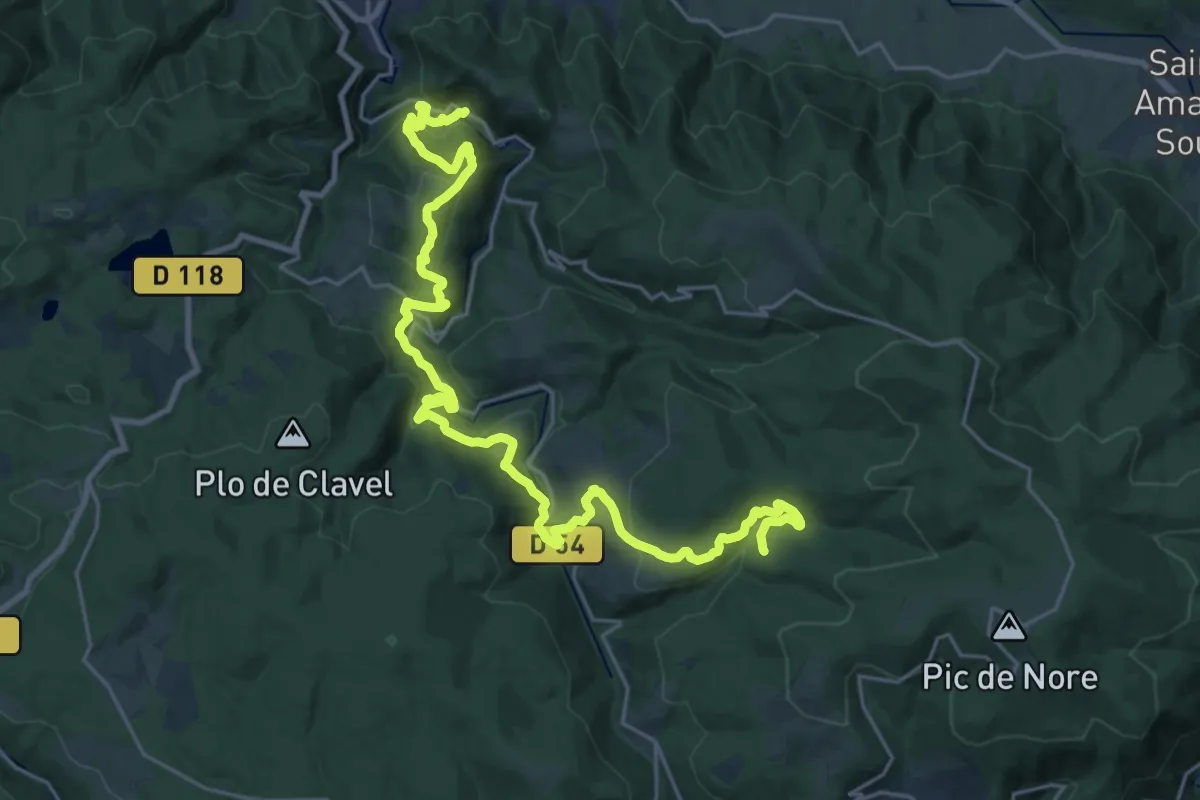
Medium · Trail
Les Villages Perchés
15.9 km · ↑ 394 m · 5 h 4 min · 8 km away
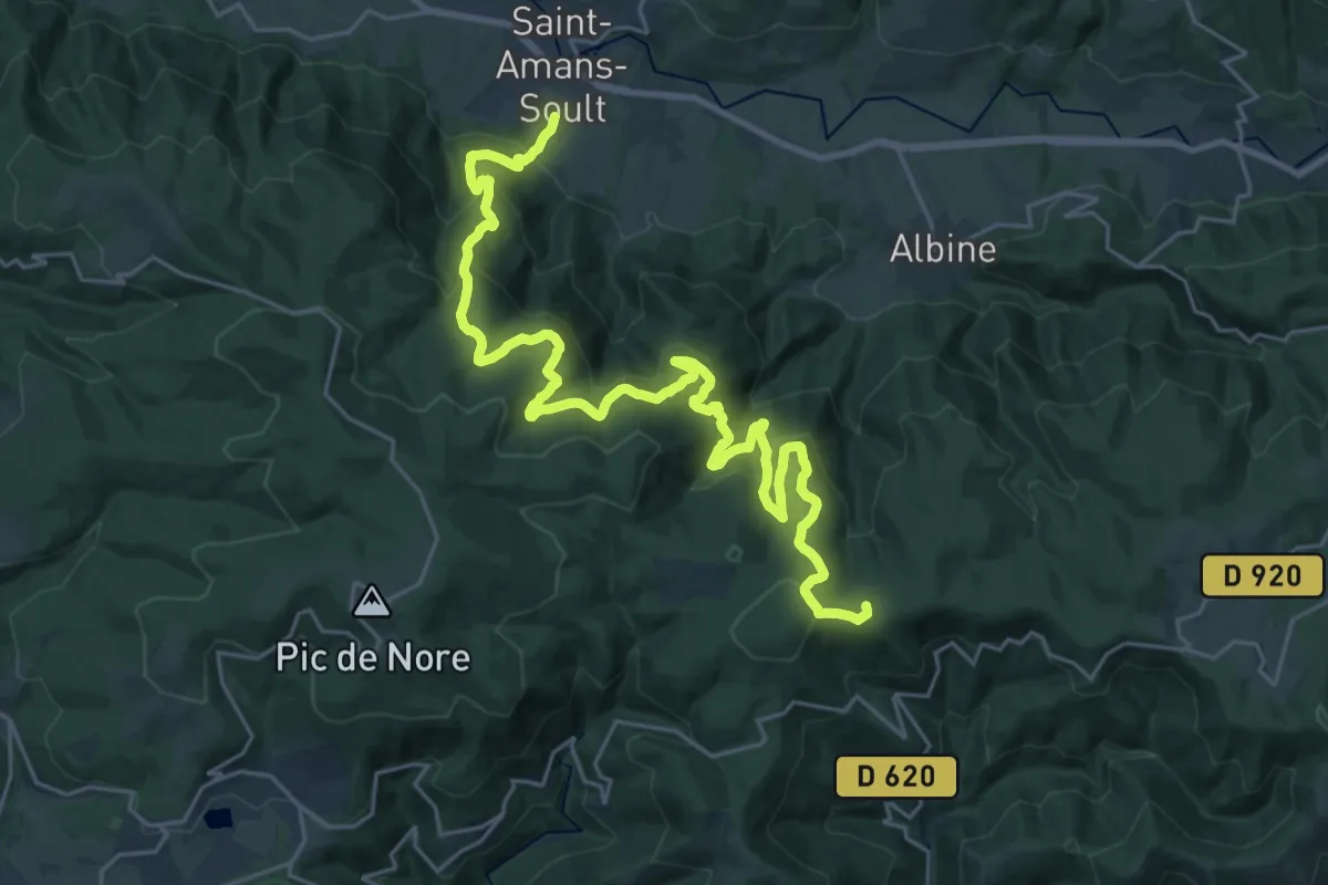
Demanding · Summit
Tour de Pays Haute Vallée du Thoré
33.3 km · ↑ 1498 m · 11 h 6 min · 9 km away
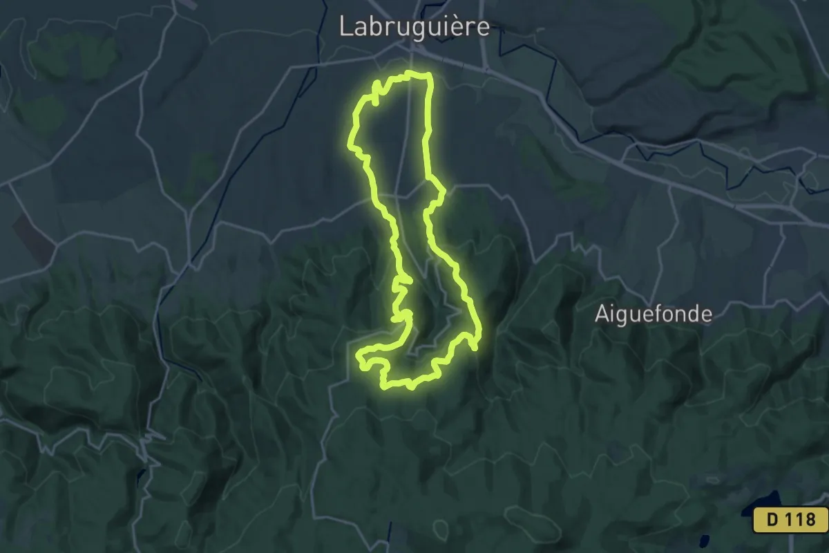
Demanding · Trail
Sentier du Carbonéral
18.7 km · ↑ 551 m · 5 h 53 min · 9 km away
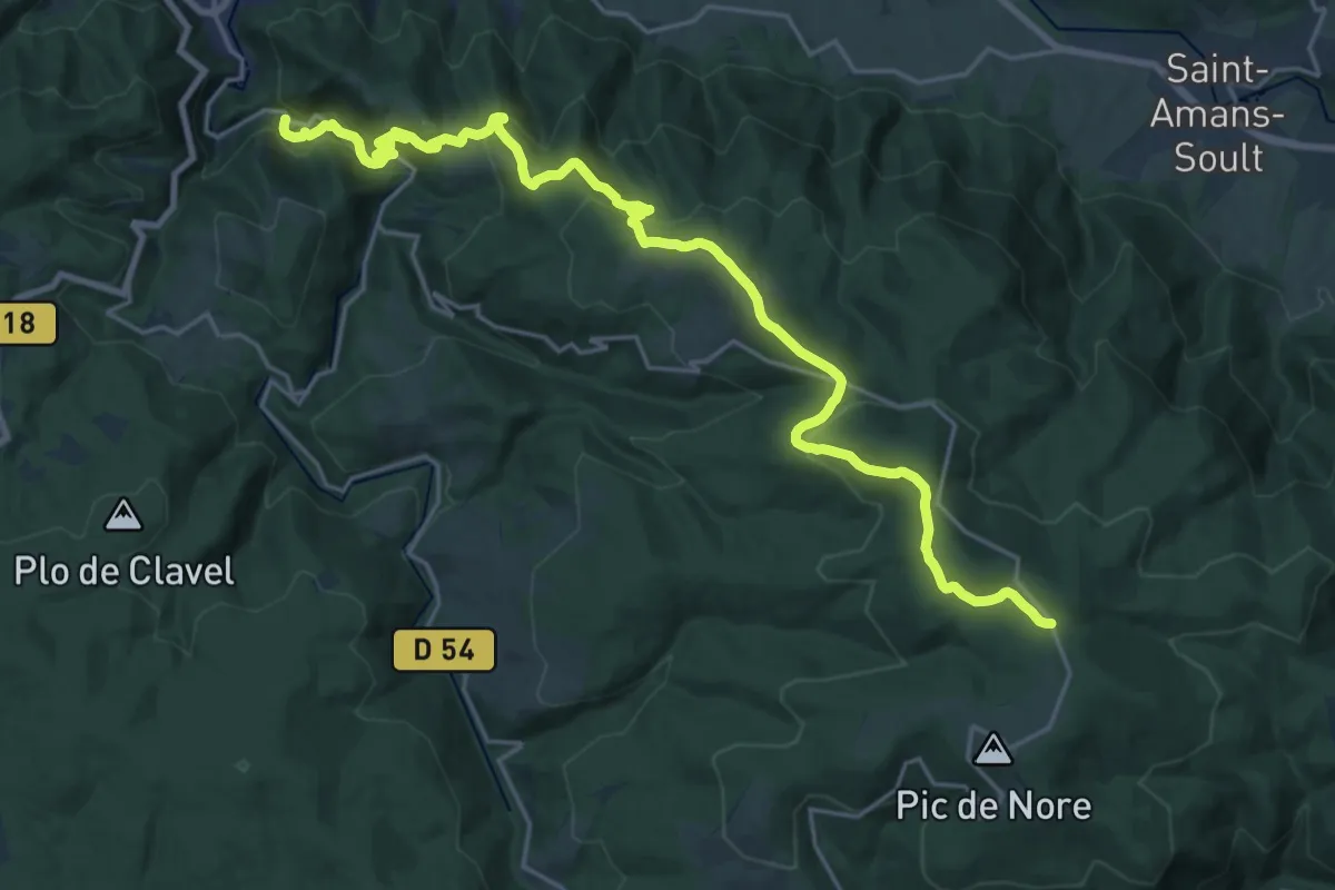
Medium · Trail
Des Vosges aux Pyrénées 09, Portail de Nore - Mazamet
13.6 km · ↑ 105 m · 4 h 2 min · 10 km away
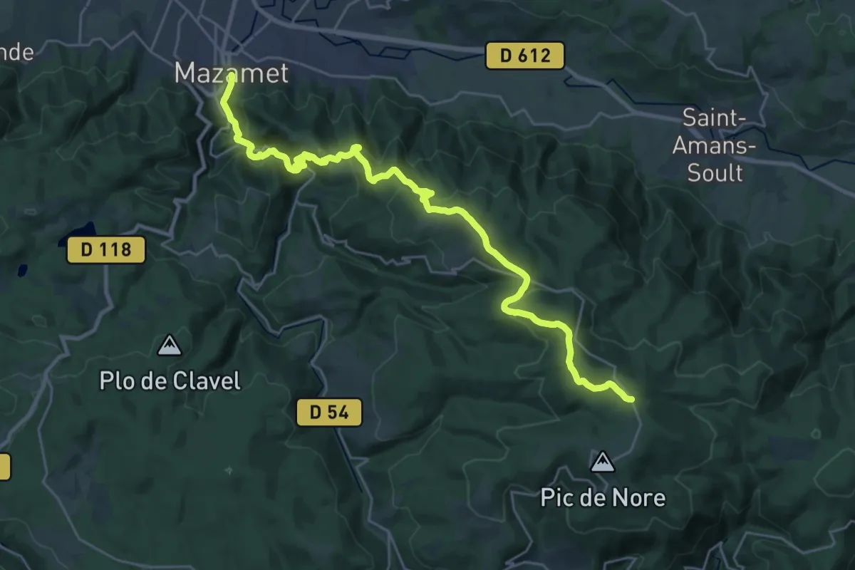
Medium · Trail
De la Manche aux Pyrénées 21, Mazamet - Portail de Nore
15.3 km · ↑ 128 m · 4 h 33 min · 10 km away
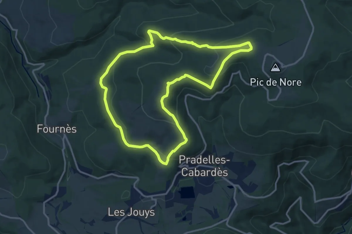
Medium · Summit
Le Roc du Nouret
10.1 km · ↑ 363 m · 3 h 19 min · 10 km away
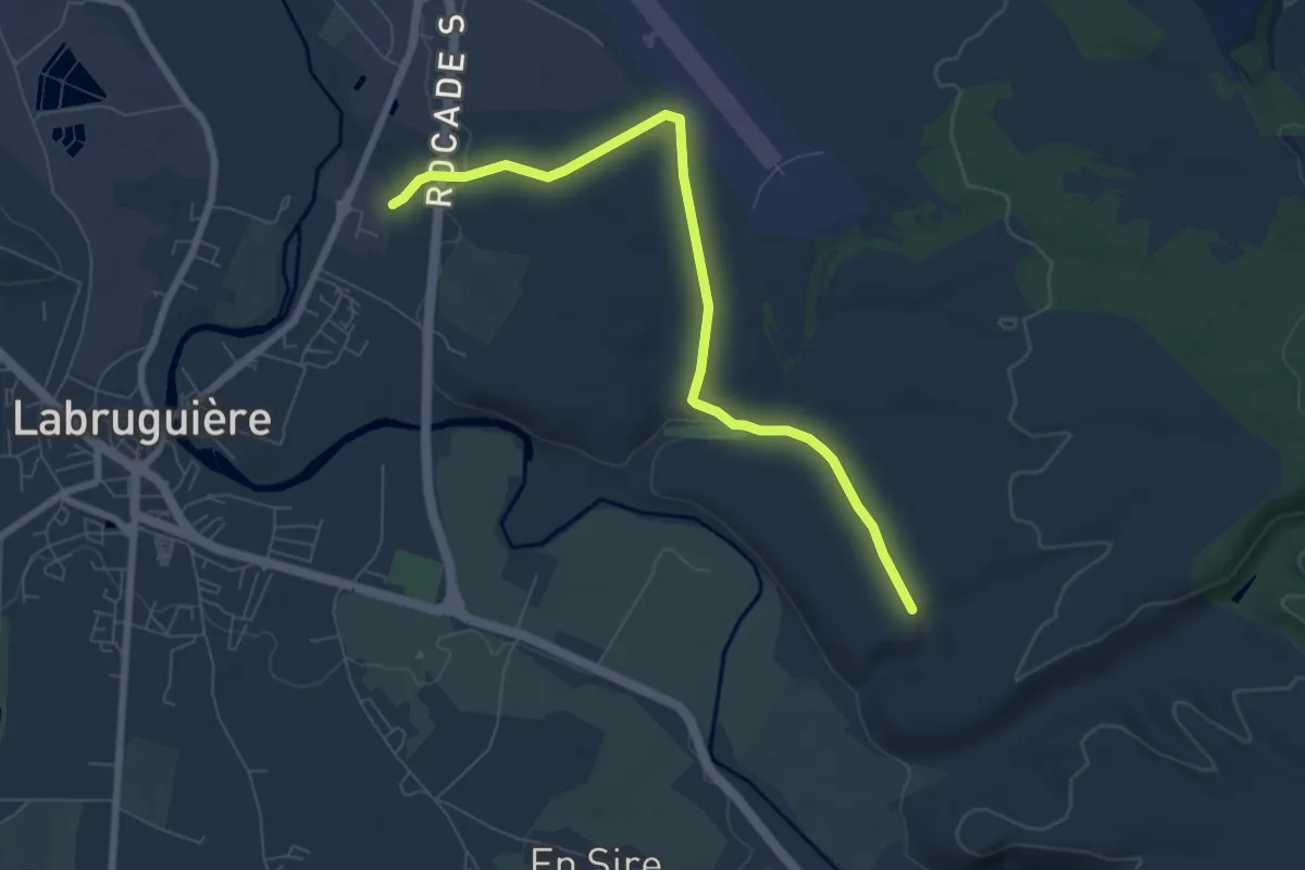
Easy · Trail
Voie Verte du Chemin Blanc
7.8 km · ↑ 129 m · 2 h 7 min · 10 km away
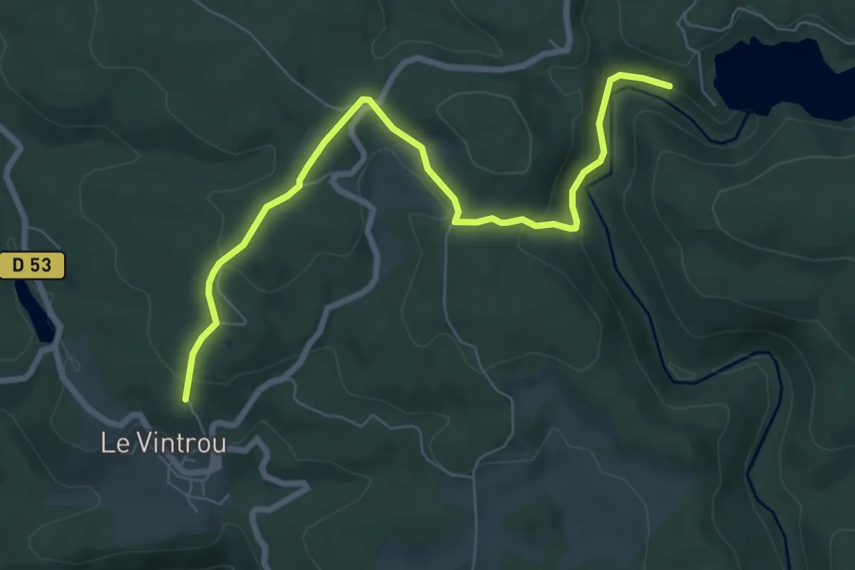
Easy · Trail
PR
7.5 km · ↑ 243 m · 2 h 18 min · 10 km away
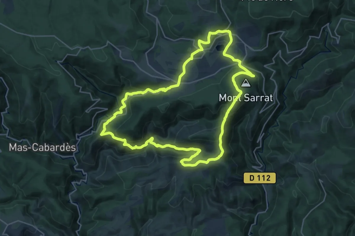
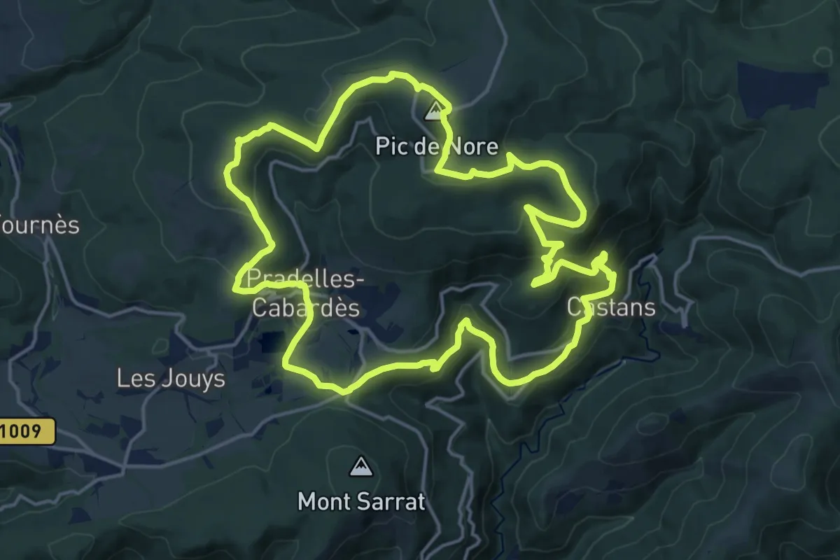
Demanding · Summit
Les Villages Perchés
21.2 km · ↑ 955 m · 7 h 23 min · 11 km away
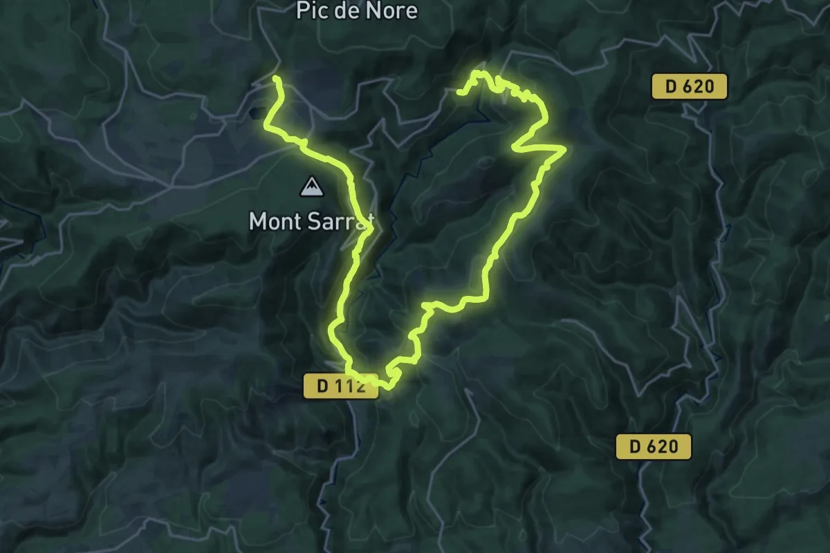
Medium · Summit
Les Panoramas
17.6 km · ↑ 679 m · 5 h 53 min · 11 km away
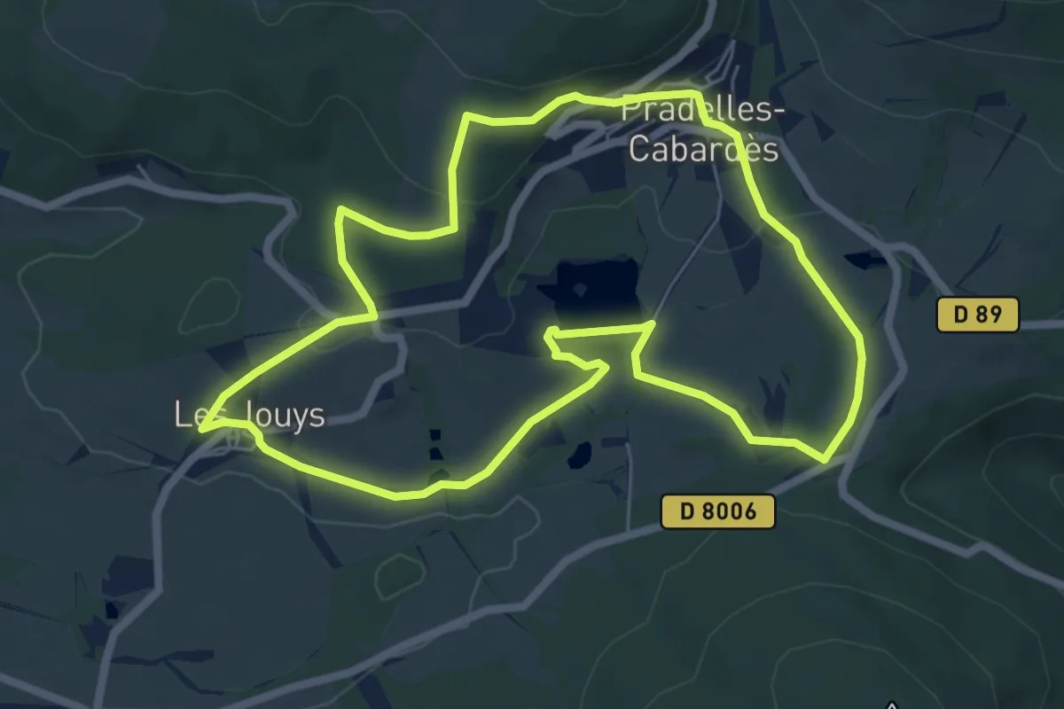
Demanding · Trail
Les Villages Perchés
19.2 km · ↑ 783 m · 6 h 36 min · 11 km away
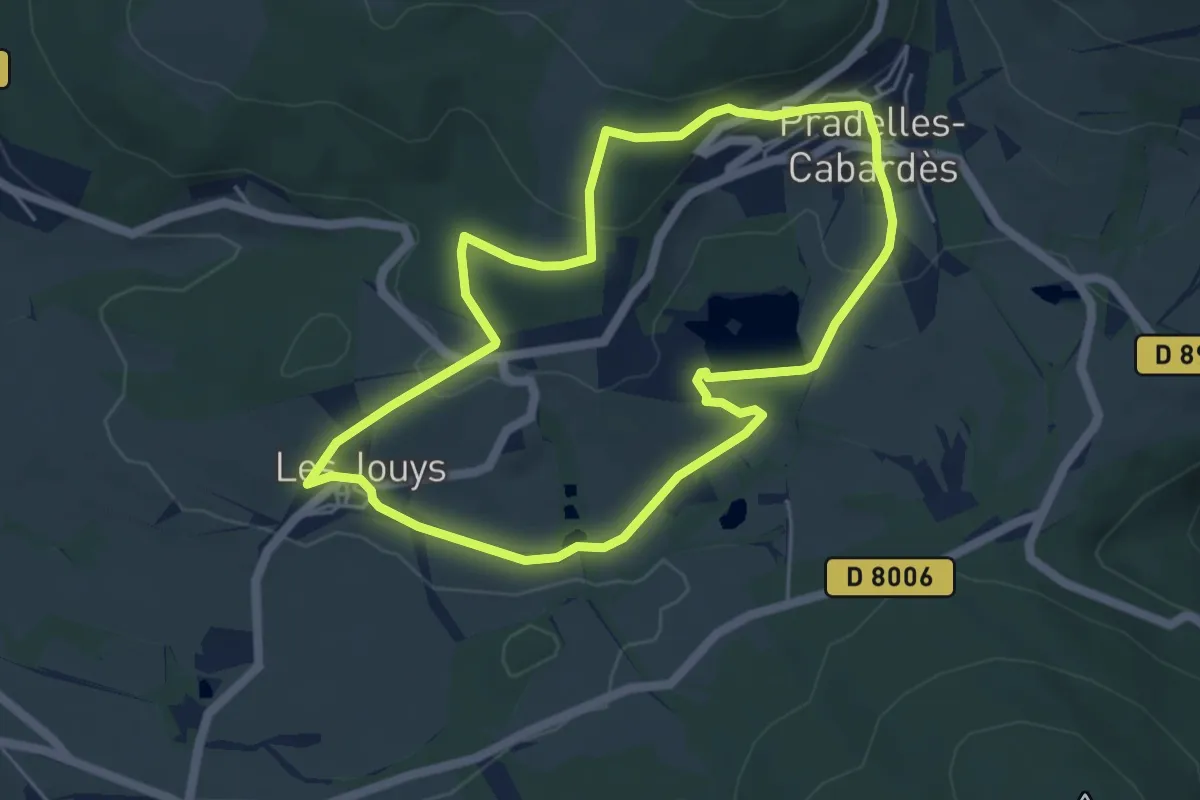
Easy · Trail
Le Sentier des Glacières
6.6 km · ↑ 128 m · 1 h 56 min · 11 km away
Easy · Trail
Petite Boucle Communauté de commune
5.2 km · ↑ 129 m · 1 h 35 min · 11 km away
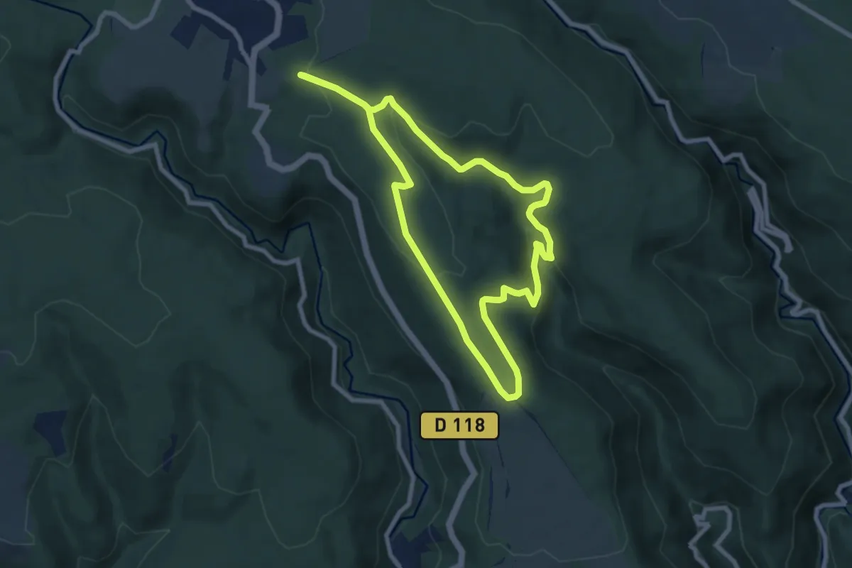
Easy · Trail
Les Martys
7.1 km · ↑ 177 m · 2 h 10 min · 11 km away
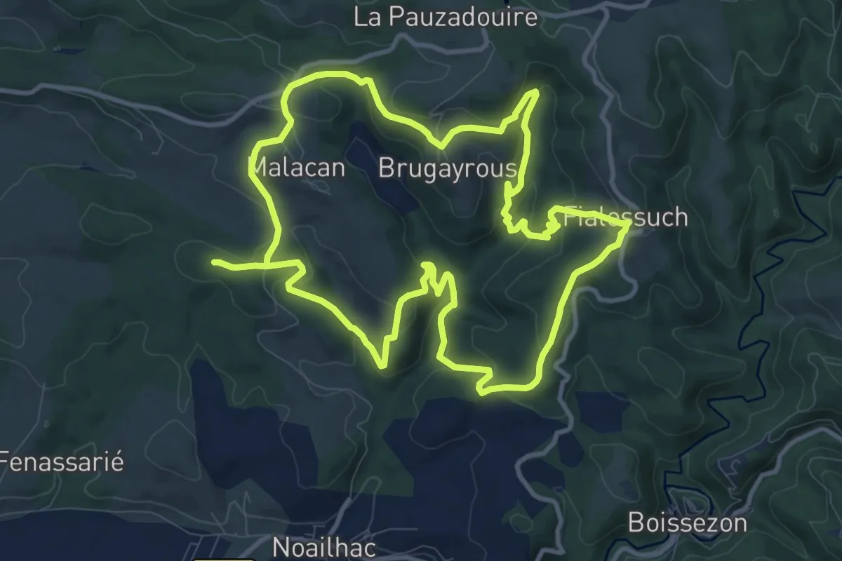
Demanding · Trail
PR
21.8 km · ↑ 763 m · 6 h 48 min · 11 km away
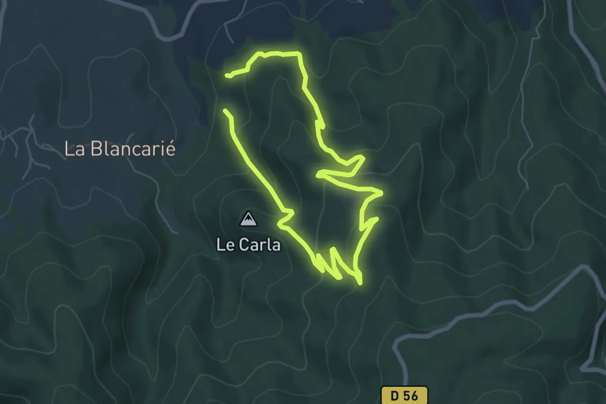
Medium · Trail
PR
10.0 km · ↑ 523 m · 3 h 30 min · 11 km away
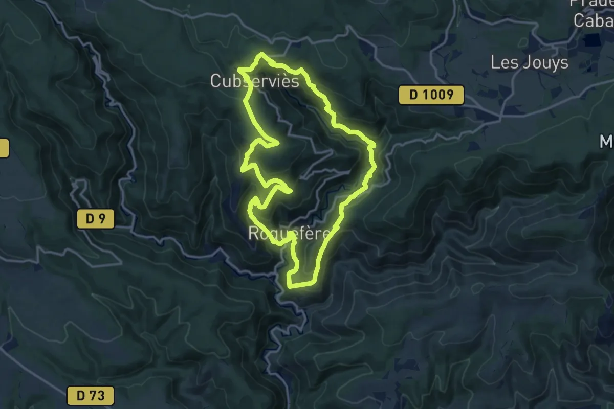
Medium · Trail
Cascade de Cubserviès
14.0 km · ↑ 729 m · 5 h 4 min · 12 km away
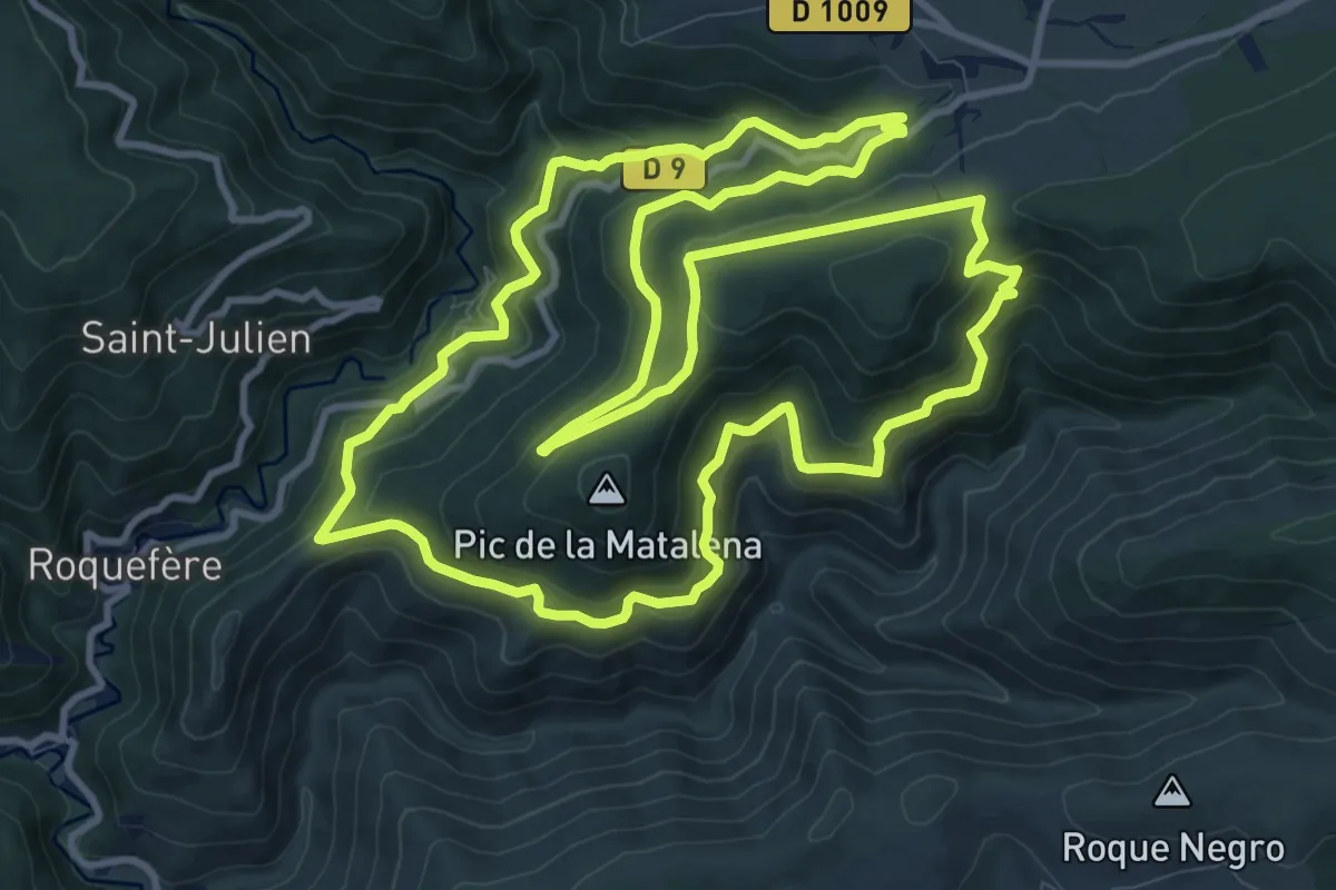
Medium · Trail
Le Tour du Pic de la Madeleine
13.4 km · ↑ 732 m · 4 h 56 min · 12 km away
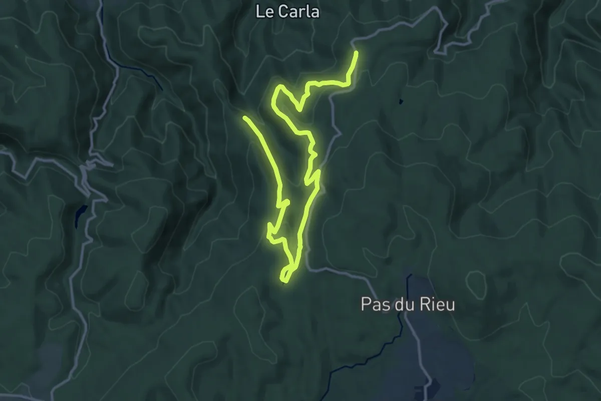
Medium · Trail
PR
17.1 km · ↑ 727 m · 5 h 37 min · 12 km away
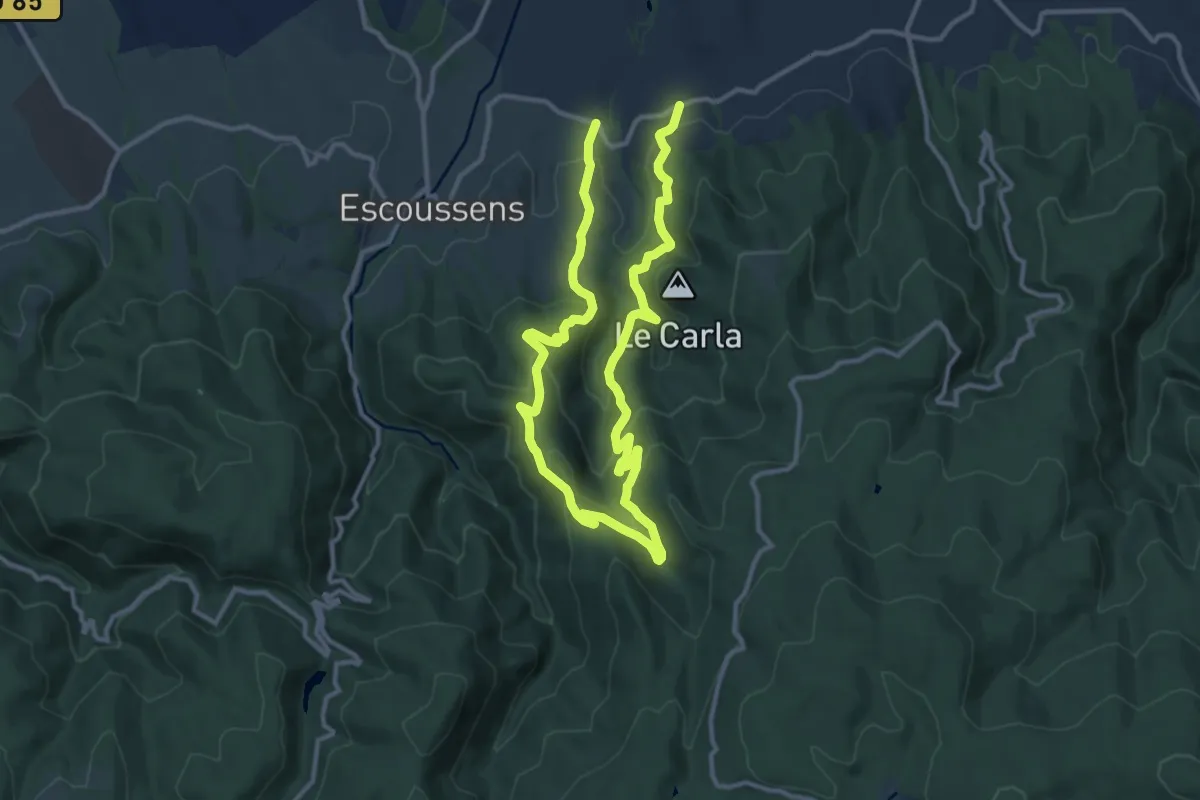
Demanding · Trail
PR
20.5 km · ↑ 896 m · 6 h 46 min · 12 km away
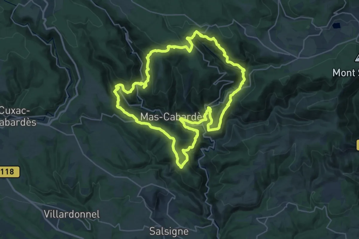
Demanding · Trail
Les Villages Perchés
23.5 km · ↑ 1225 m · 8 h 32 min · 12 km away
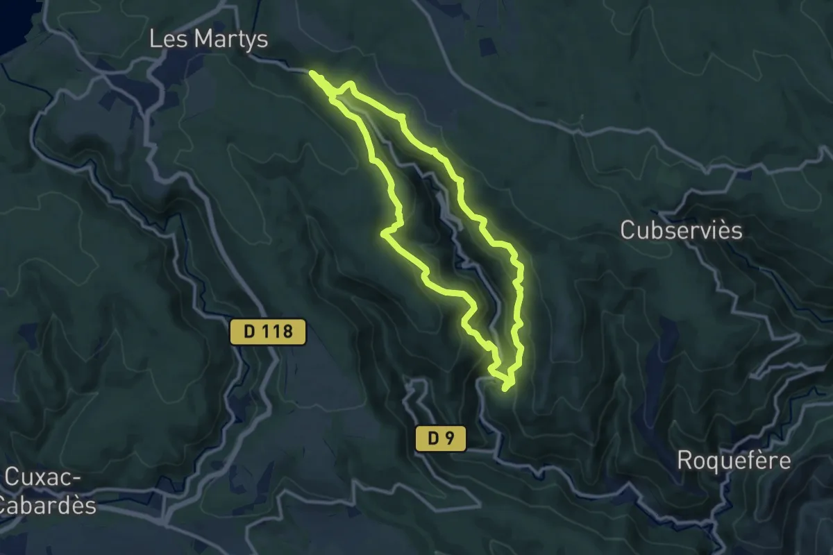
Medium · Trail
Le roc du Bougre
10.4 km · ↑ 562 m · 3 h 49 min · 12 km away
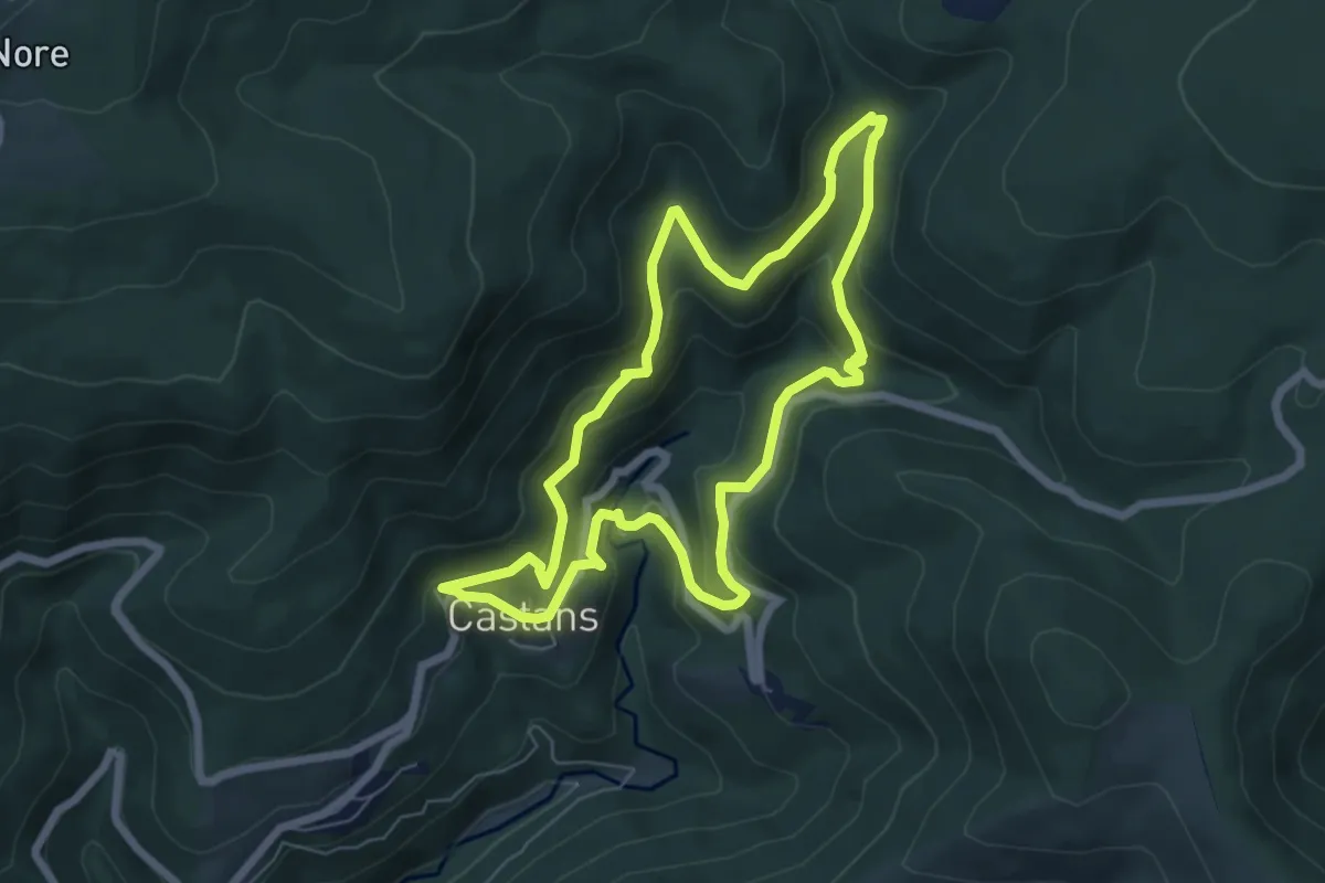
Medium · Trail
Les Ruisseaux
6.6 km · ↑ 333 m · 2 h 22 min · 13 km away
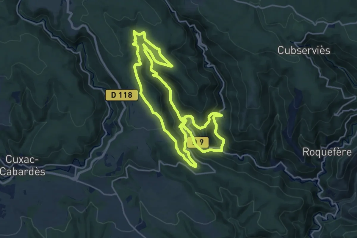
Medium · Trail
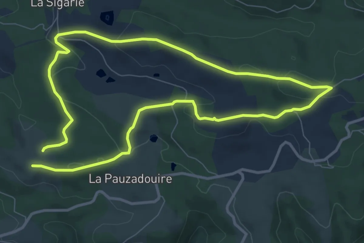
Combo Falgouzo
15.1 km · ↑ 703 m · 5 h 17 min · 13 km away
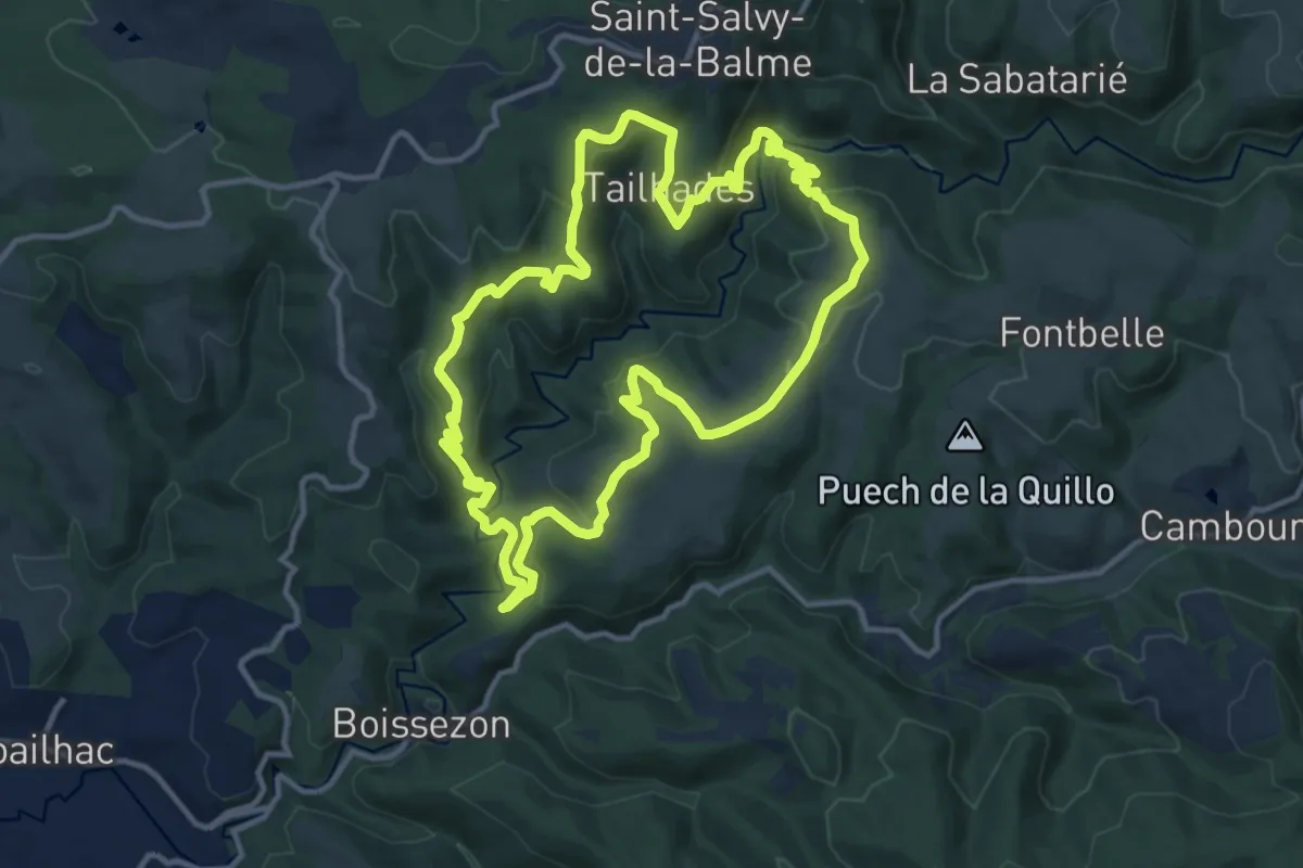
Medium · Trail
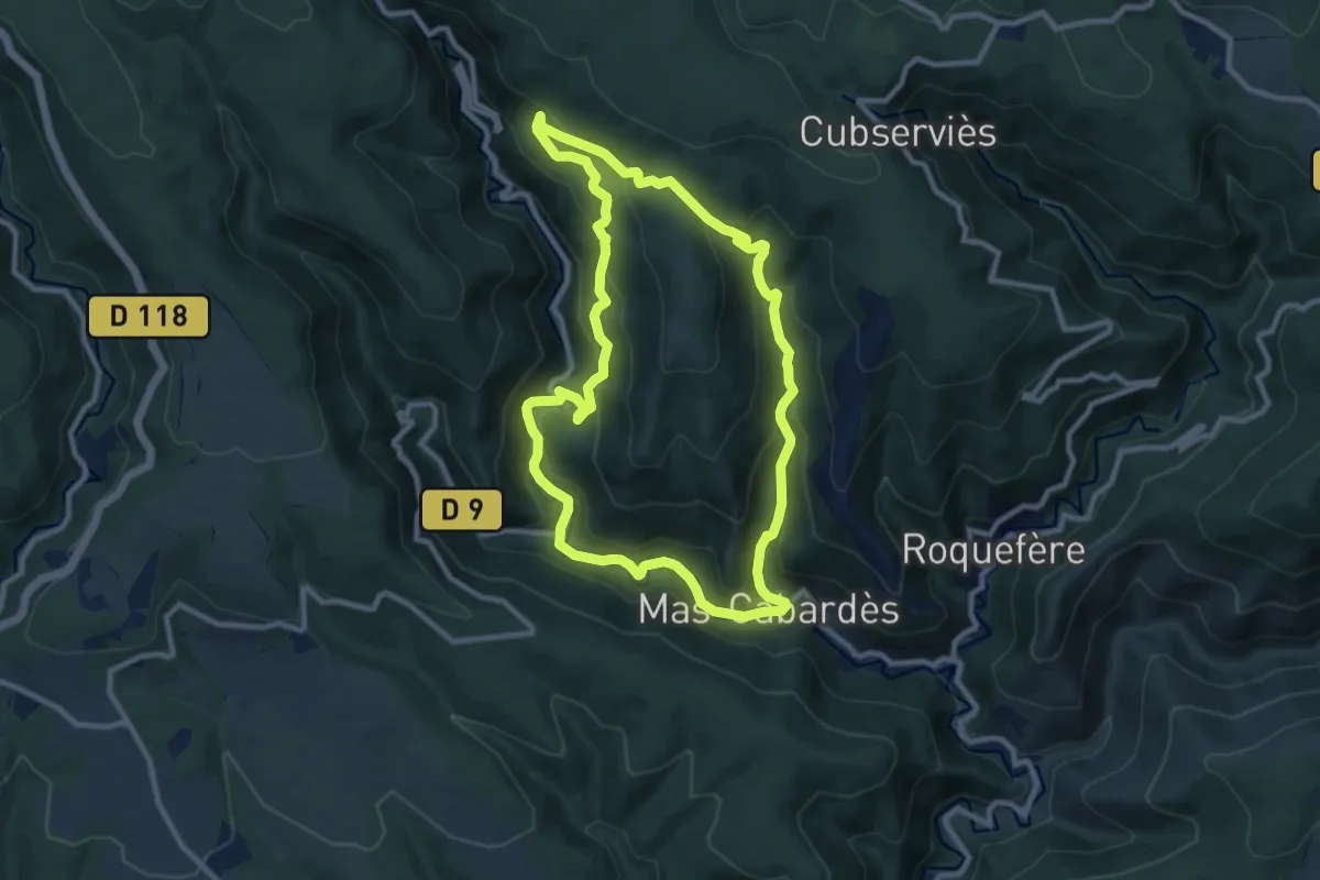
PR
13.0 km · ↑ 490 m · 4 h 20 min · 13 km away
Medium · Trail
PR
14.6 km · ↑ 296 m · 4 h 6 min · 13 km away
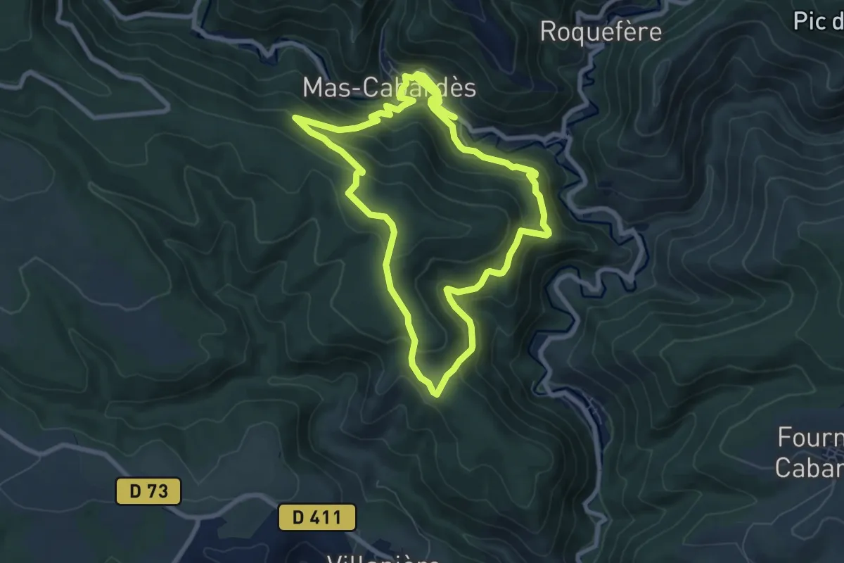
Medium · Trail
Le chemin du Carnier
9.9 km · ↑ 530 m · 3 h 38 min · 13 km away
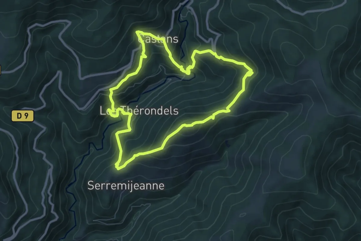
Medium · Trail
Le Castagnal Grando
7.5 km · ↑ 350 m · 2 h 39 min · 13 km away
Medium · Summit
Le Quiersboutou
8.0 km · ↑ 605 m · 3 h 18 min · 13 km away
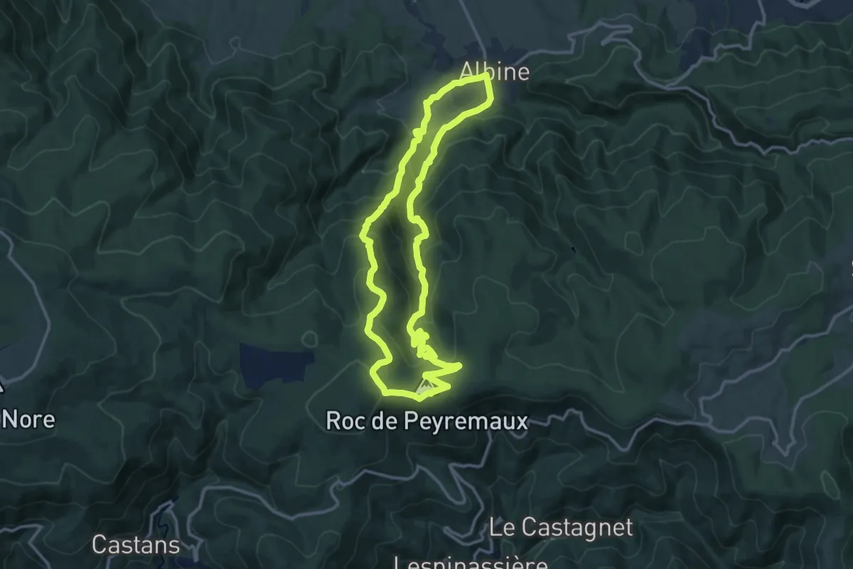
Medium · Summit
Les Villages Perchés
12.9 km · ↑ 688 m · 4 h 42 min · 14 km away
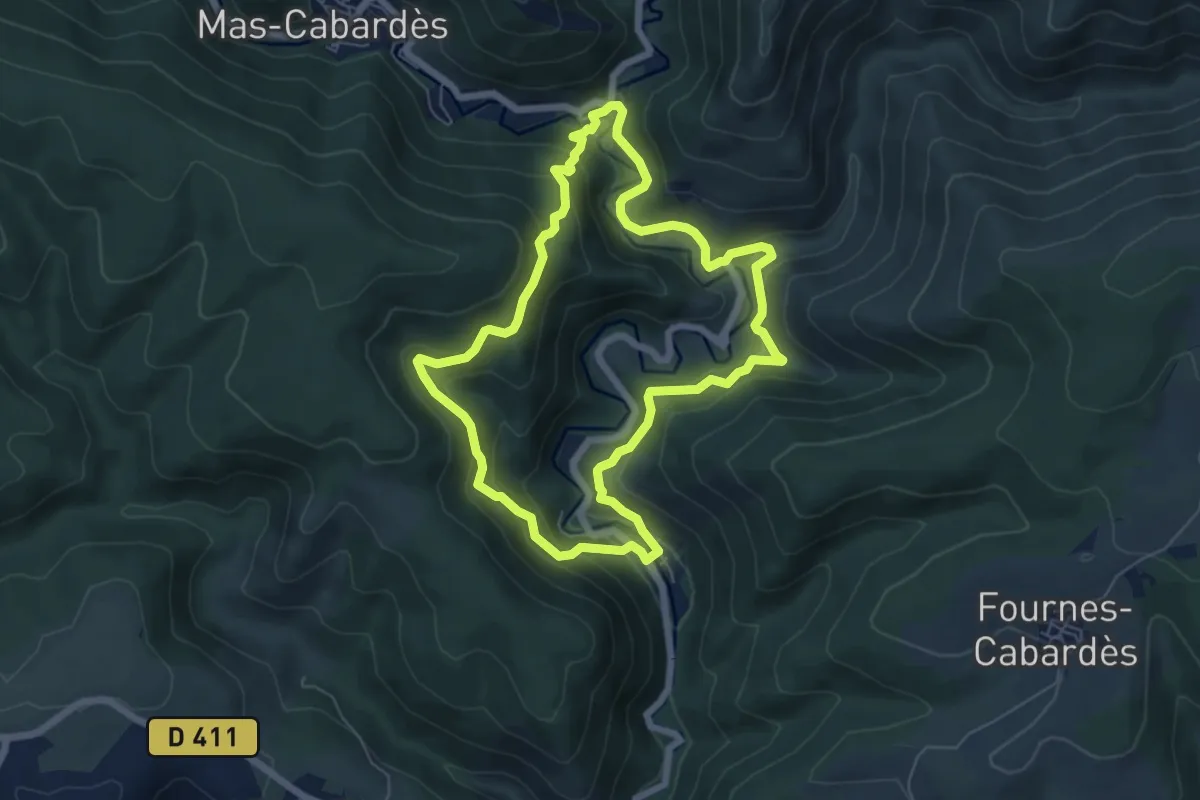
Medium · Trail
Les Méandres de l’Orbiel
6.4 km · ↑ 359 m · 2 h 23 min · 14 km away
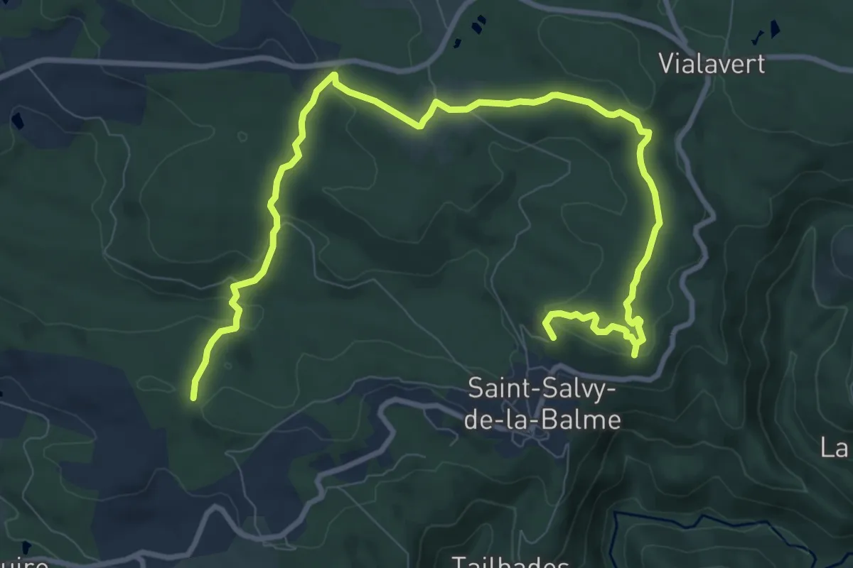
Medium · Trail
PR
12.6 km · ↑ 294 m · 3 h 37 min · 14 km away
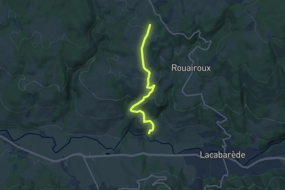
Medium · Trail
PR
8.4 km · ↑ 383 m · 2 h 49 min · 15 km away
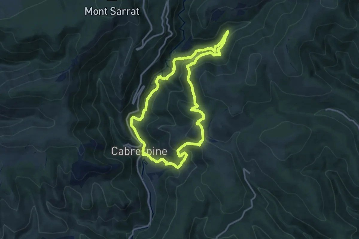
Medium · Trail
Les Pas de l'Aube
9.7 km · ↑ 481 m · 3 h 28 min · 15 km away
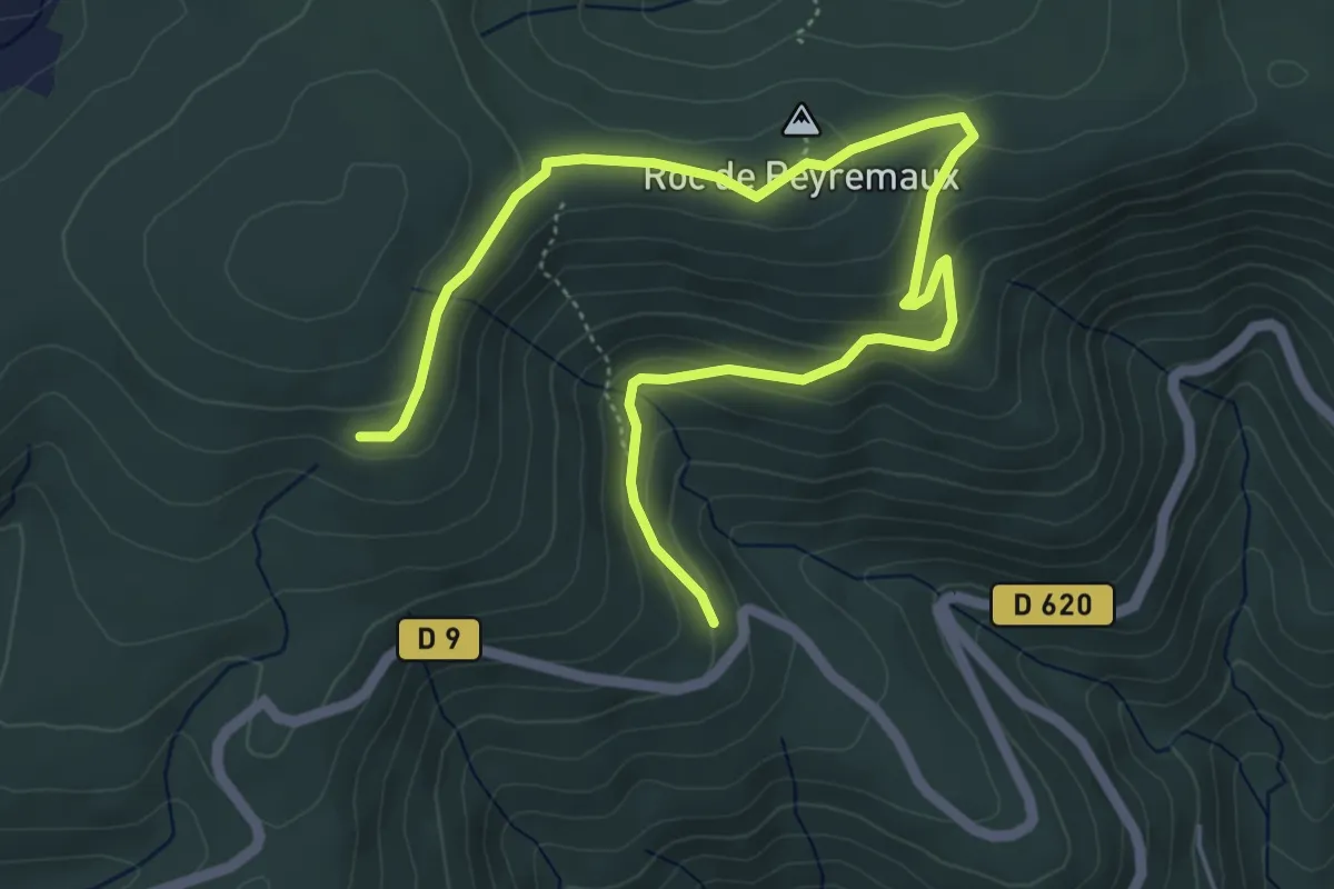
Easy · Summit
Les Deux Vallées
3.6 km · ↑ 224 m · 1 h 18 min · 15 km away