Trails near Montélimar
54 hikes starting within 15 km, nearest first.
Nearest first, page 1 of 2
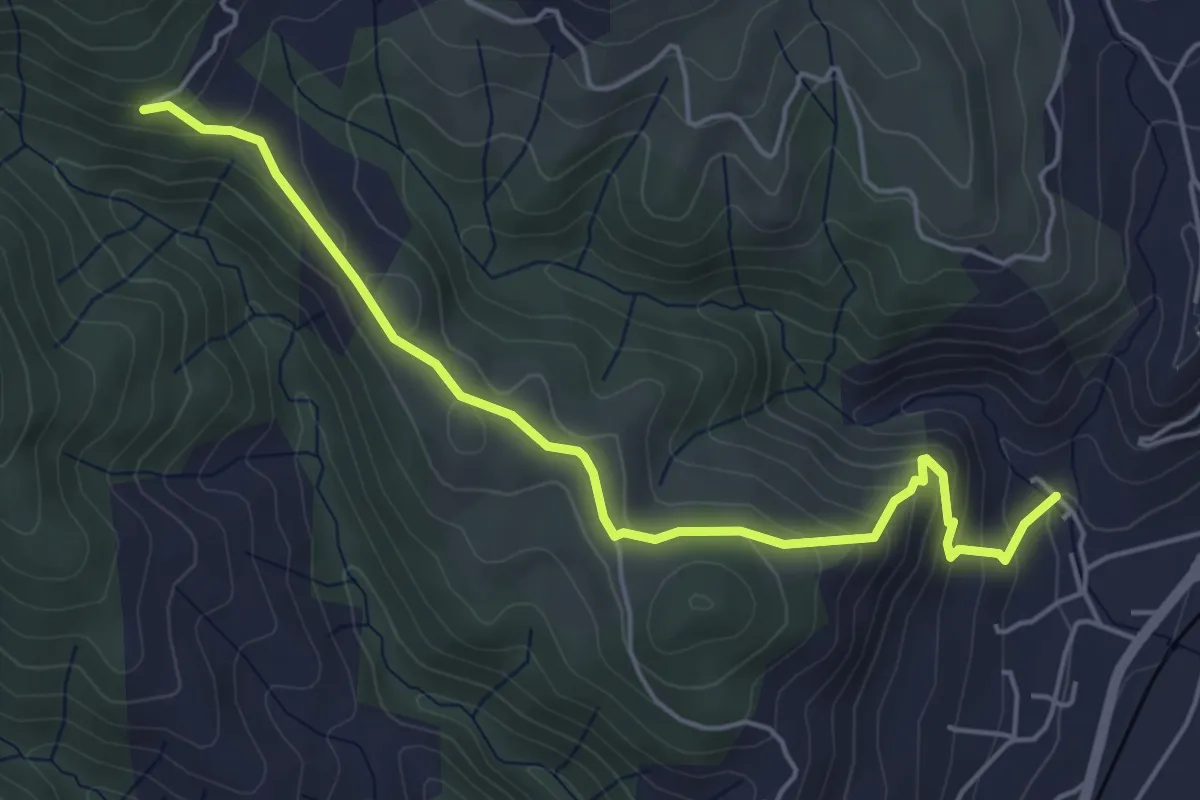
Easy · Trail
Eygue - Archias
5.4 km · ↑ 298 m · 1 h 56 min · 5 km away
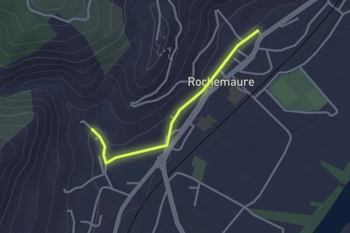
Easy · Trail
Rochemaure - Eygue
2.3 km · ↑ 39 m · 37 min · 5 km away
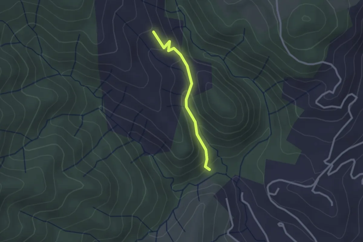
Easy · Trail
Foucholle - Beylon
2.0 km · ↑ 107 m · 43 min · 6 km away
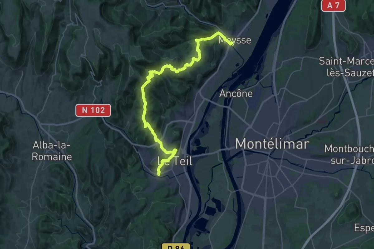
Medium · Trail
SPHC, étape 17
16.2 km · ↑ 511 m · 5 h 10 min · 6 km away
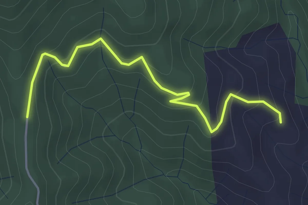
Easy · Trail
Beylon - Pifaut
4.1 km · ↑ 234 m · 1 h 28 min · 7 km away
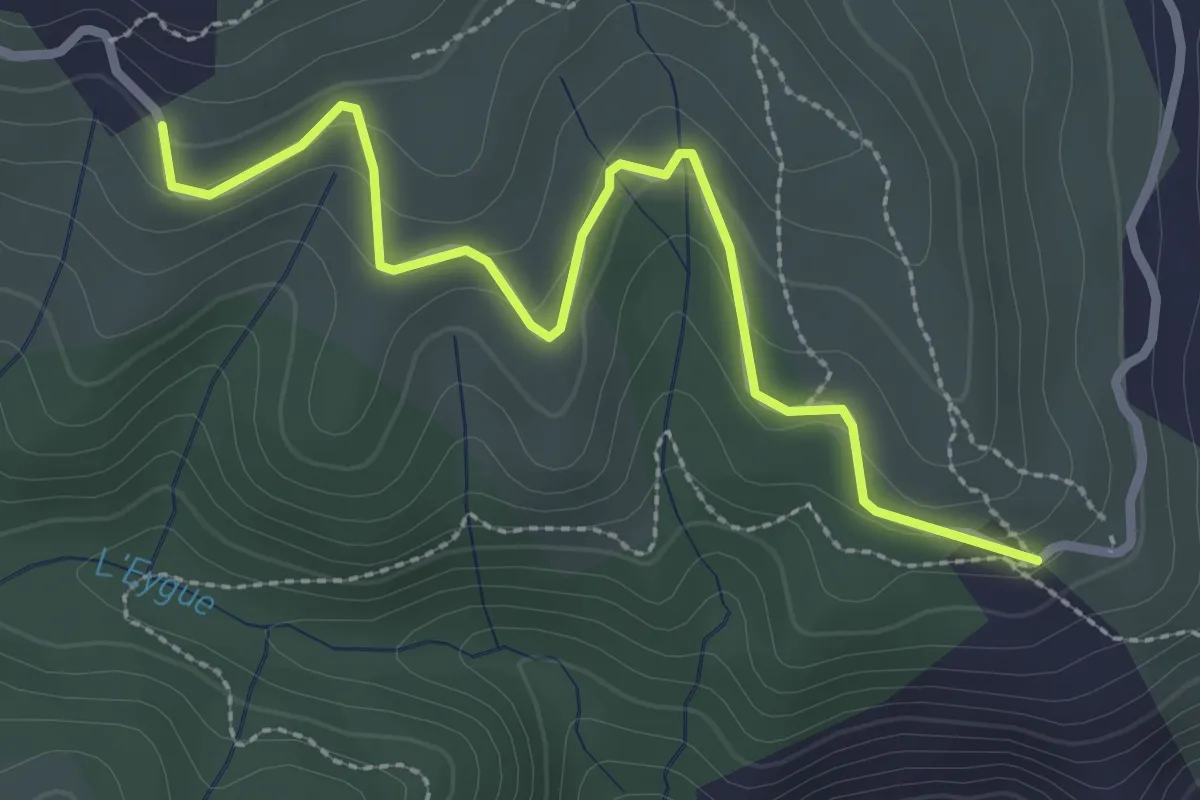
Easy · Trail
Rignas - Malatère
3.1 km · ↑ 100 m · 57 min · 7 km away
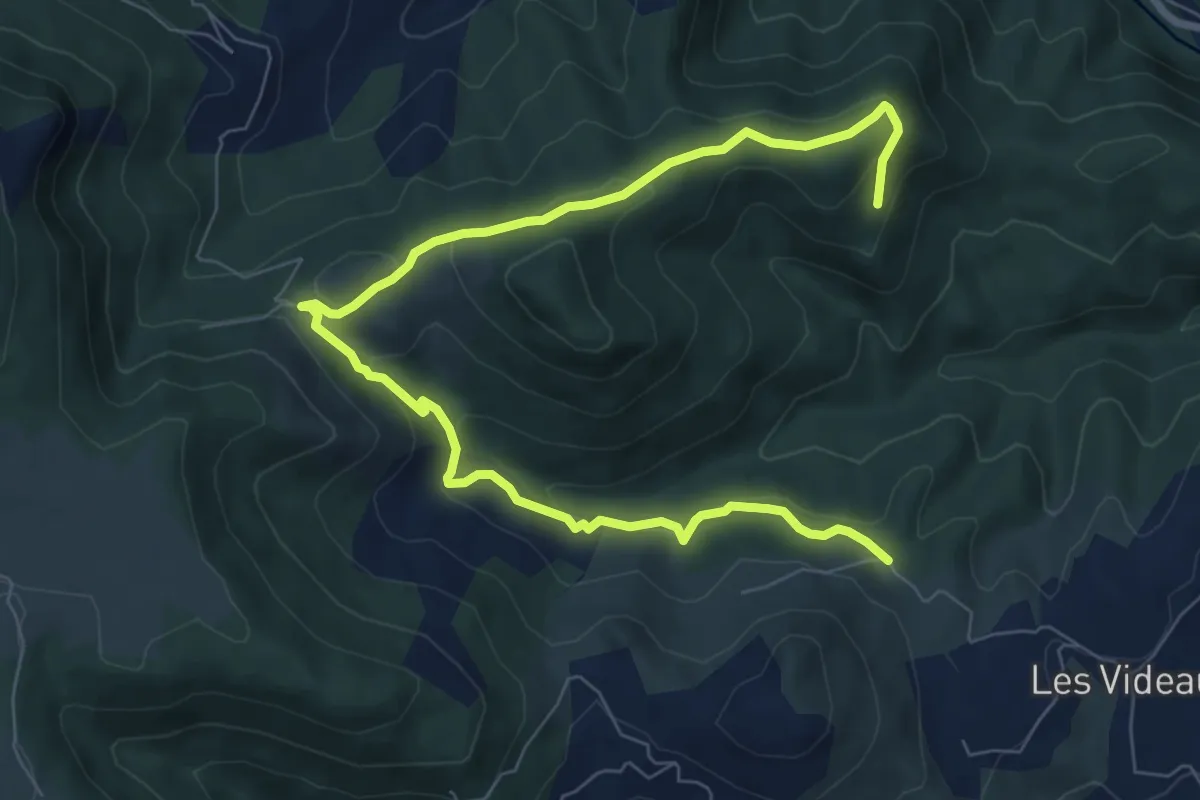
Medium · Trail
Merlet - Carcot
10.3 km · ↑ 334 m · 3 h 10 min · 7 km away
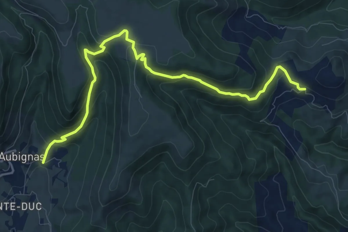
Medium · Trail
Liotard - Les Audouards
11.8 km · ↑ 545 m · 3 h 58 min · 7 km away
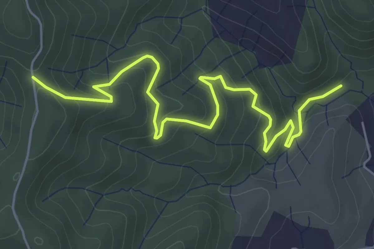
Easy · Trail
Foucholle - Blachon
6.3 km · ↑ 314 m · 2 h 10 min · 7 km away
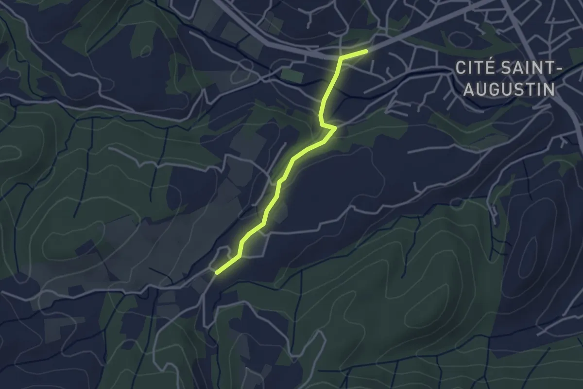
Easy · Trail
Melas - La Rouvière
2.7 km · ↑ 69 m · 48 min · 7 km away
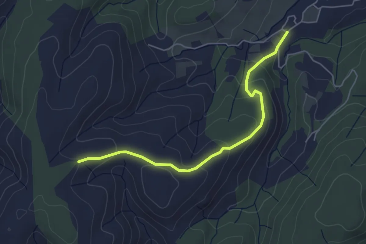
Easy · Trail
La Rouvière - Montfaucon
4.6 km · ↑ 180 m · 1 h 29 min · 7 km away
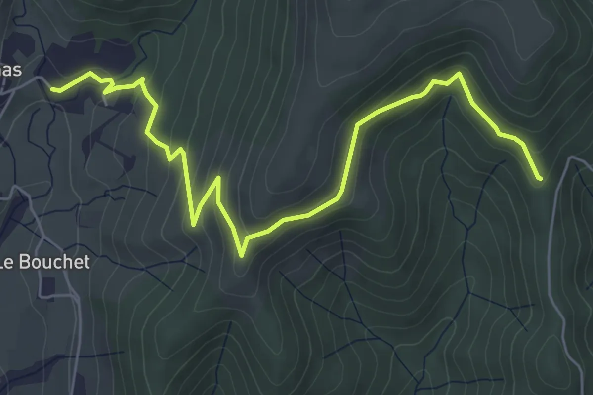
Easy · Trail
Liotard - Larein
6.9 km · ↑ 299 m · 2 h 16 min · 8 km away
Easy · Trail
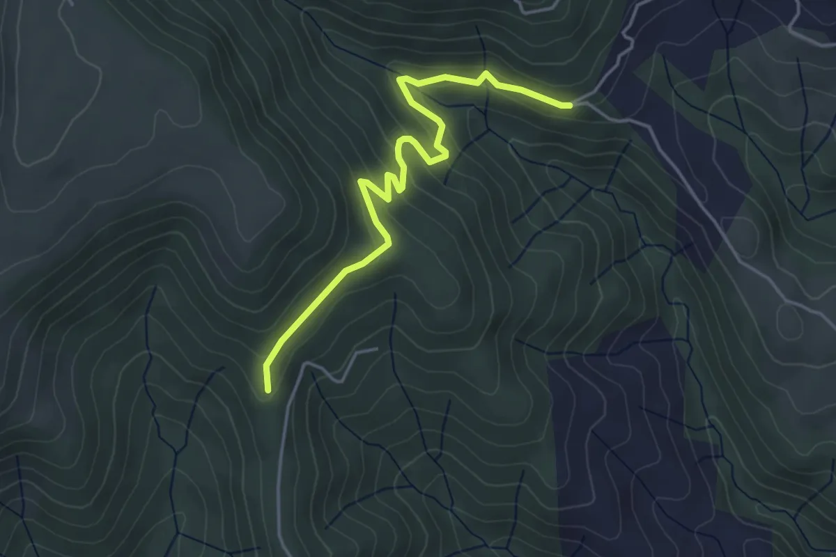
Archias - Larein
4.5 km · ↑ 178 m · 1 h 27 min · 8 km away
Easy · Trail
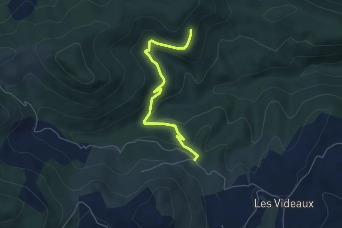
Merlet - Carcot
4.7 km · ↑ 217 m · 1 h 34 min · 8 km away
Easy · Trail
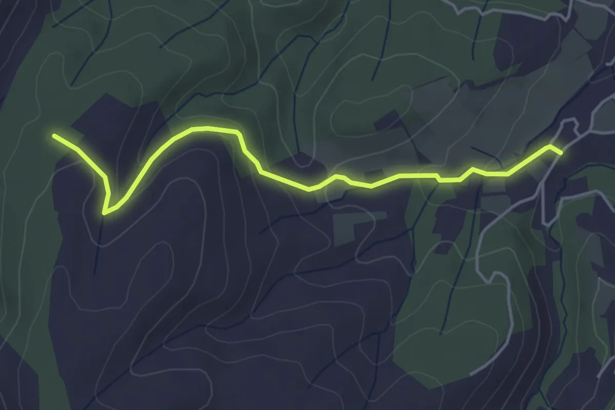
La Rouvière - Mont Rosier
4.4 km · ↑ 163 m · 1 h 24 min · 9 km away
Easy · Trail
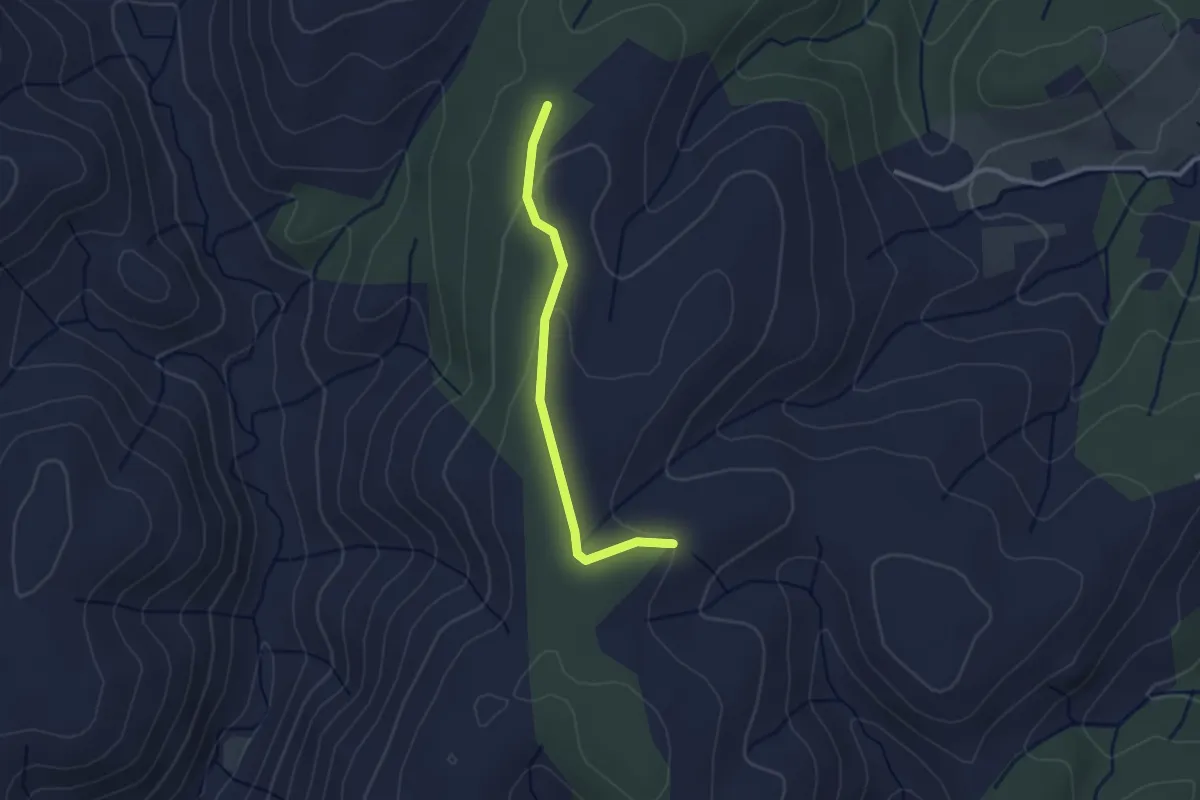
Mont Rosier - Montfaucon
2.5 km · ↑ 56 m · 43 min · 9 km away
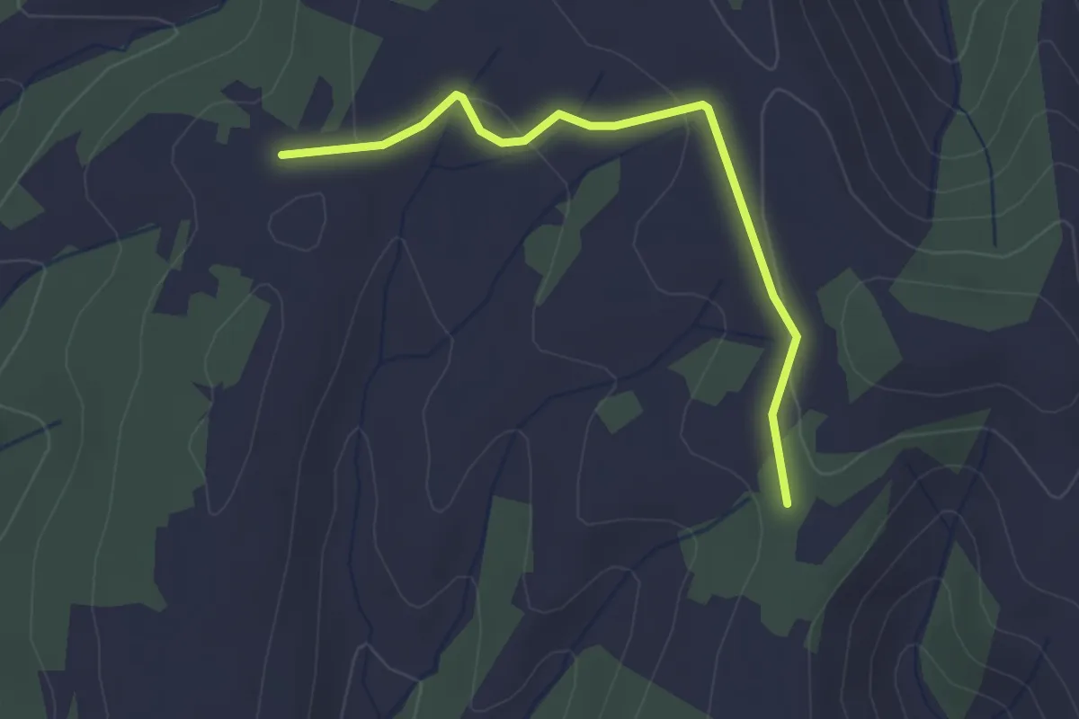
Easy · Trail
Vacheyre - Montagut
2.8 km · ↑ 54 m · 47 min · 9 km away
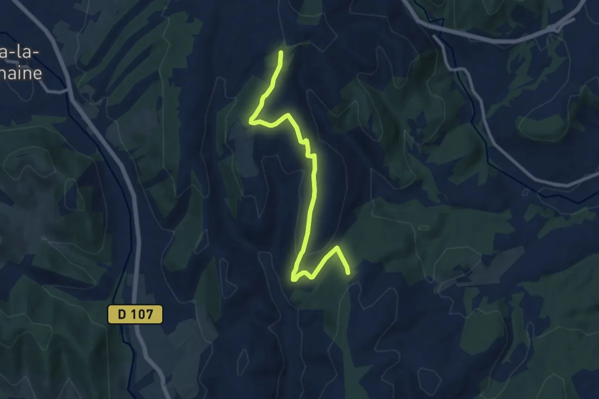
Medium · Trail
Mont Rosier - Montagut
8.2 km · ↑ 215 m · 2 h 25 min · 9 km away
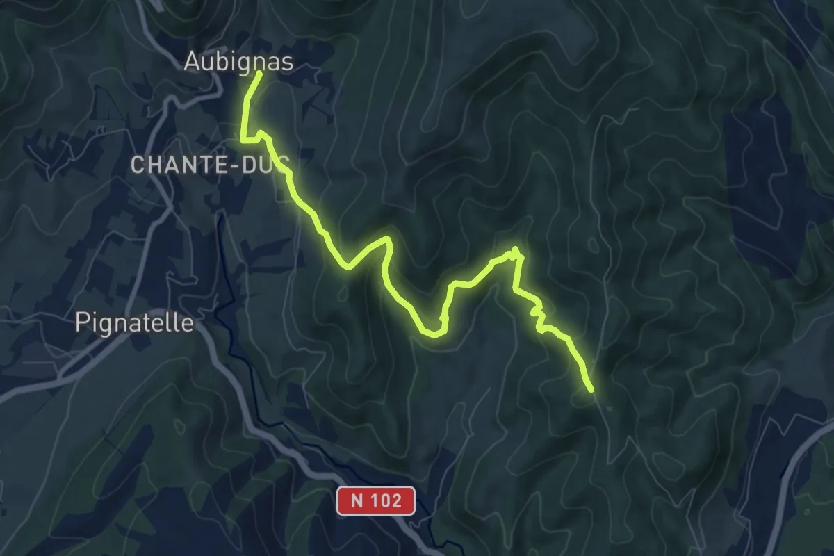
Medium · Trail
L'Auche - Tronquette
9.5 km · ↑ 484 m · 3 h 18 min · 10 km away
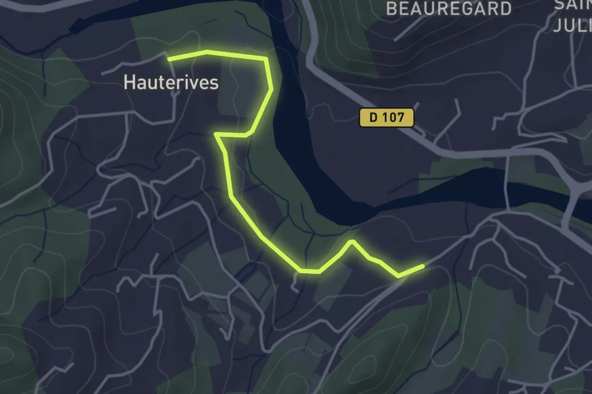
Easy · Trail
Les Pignes - Hautes Rives
3.9 km · ↑ 49 m · 1 h 1 min · 10 km away
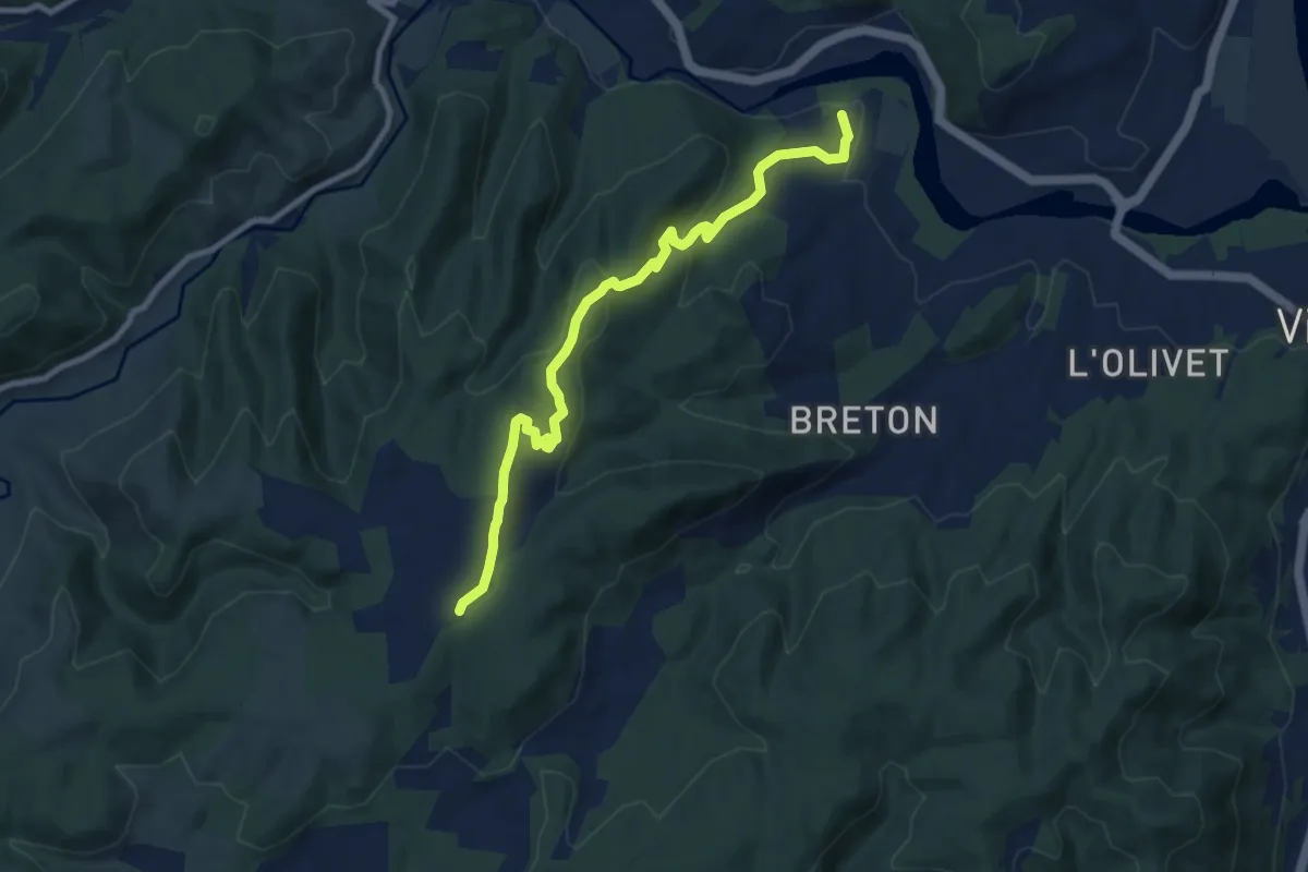
Medium · Trail
Hautes Rives - Bayne
9.2 km · ↑ 341 m · 2 h 55 min · 10 km away
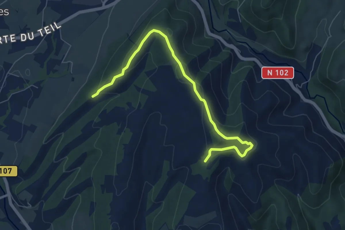
Easy · Trail
Fontbonne - Montagut
7.3 km · ↑ 234 m · 2 h 13 min · 10 km away
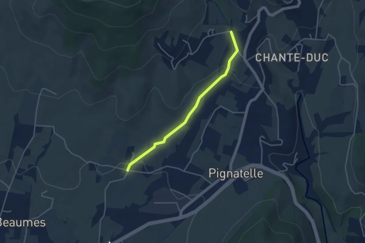
Easy · Trail
Aunas - Pont de l'Aiguille
3.2 km · ↑ 73 m · 54 min · 11 km away
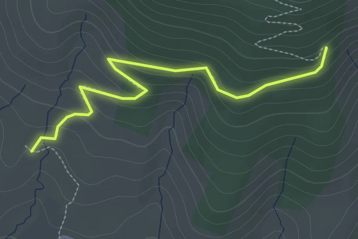
Easy · Trail
Lebrat - Serre Pointu
2.9 km · ↑ 129 m · 57 min · 11 km away
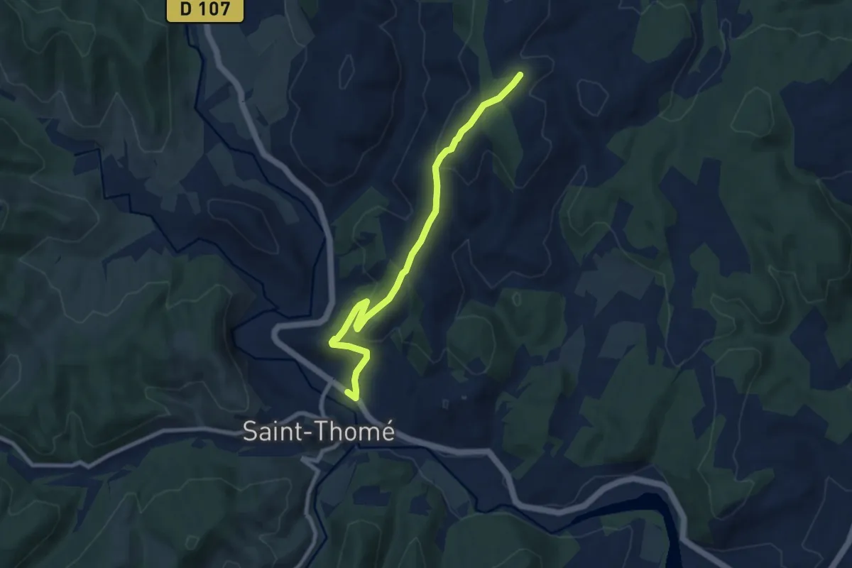
Easy · Trail
Saint-Thomé - Montfaucon
7.9 km · ↑ 288 m · 2 h 29 min · 11 km away
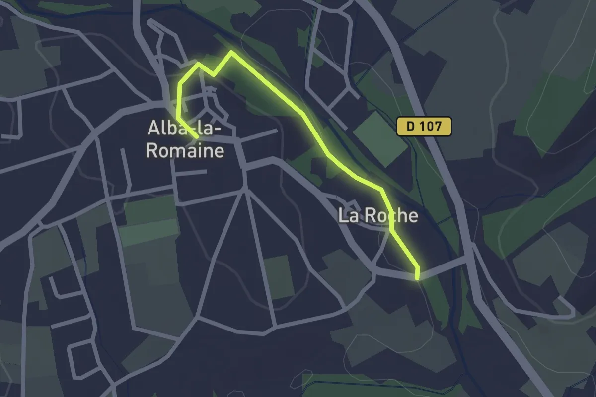
Easy · Trail
La Roche - Alba-la-Romaine
2.1 km · ↑ 30 m · 34 min · 12 km away
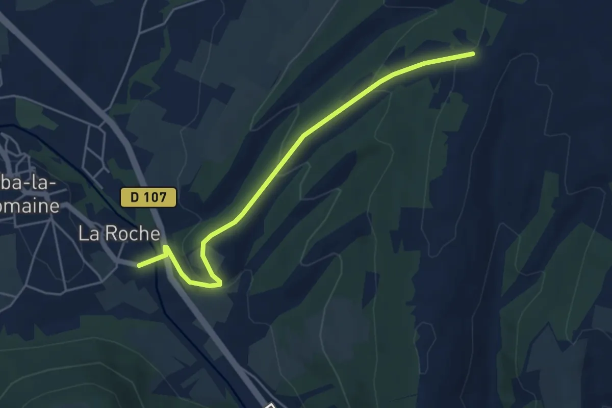
Easy · Trail
La Roche - Vacheyre
4.6 km · ↑ 181 m · 1 h 28 min · 12 km away
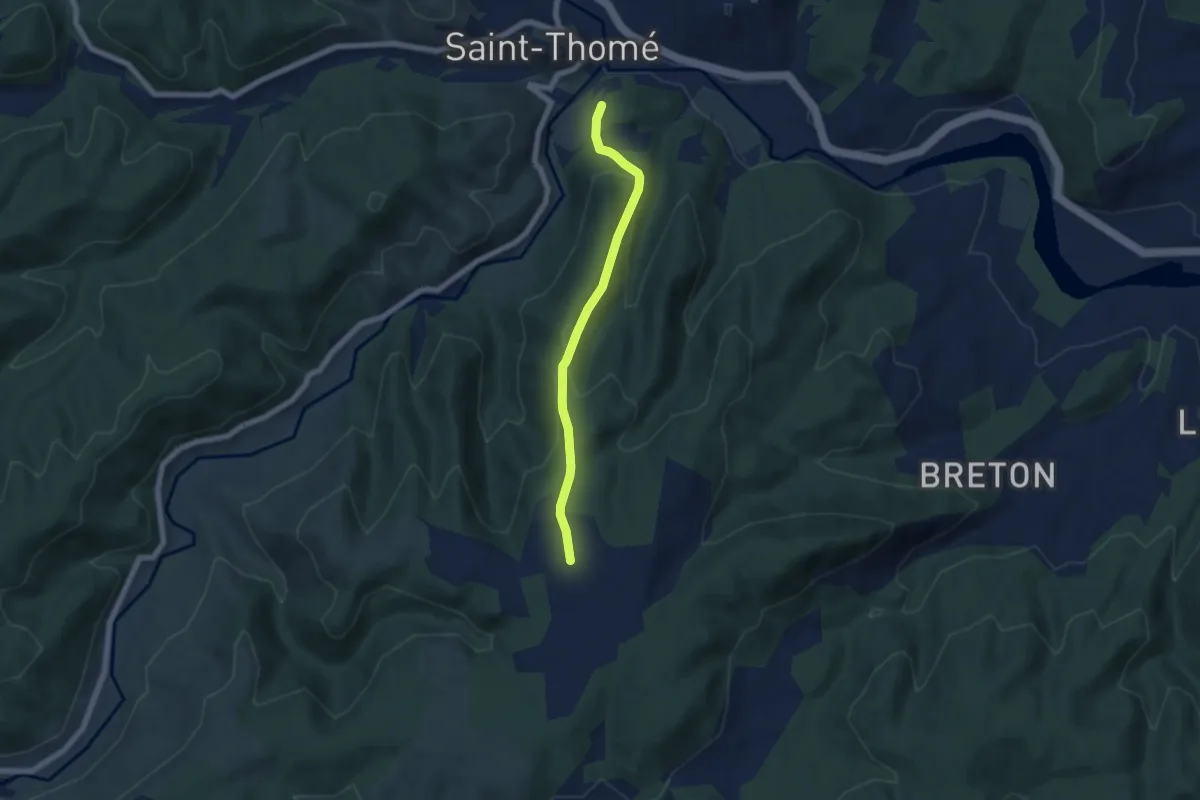
Easy · Trail
La Pignatelle - Brugette
5.7 km · ↑ 232 m · 1 h 51 min · 12 km away
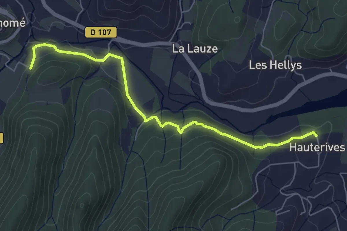
Easy · Trail
Hautes Rives - La Pignatelle
5.6 km · ↑ 129 m · 1 h 37 min · 12 km away
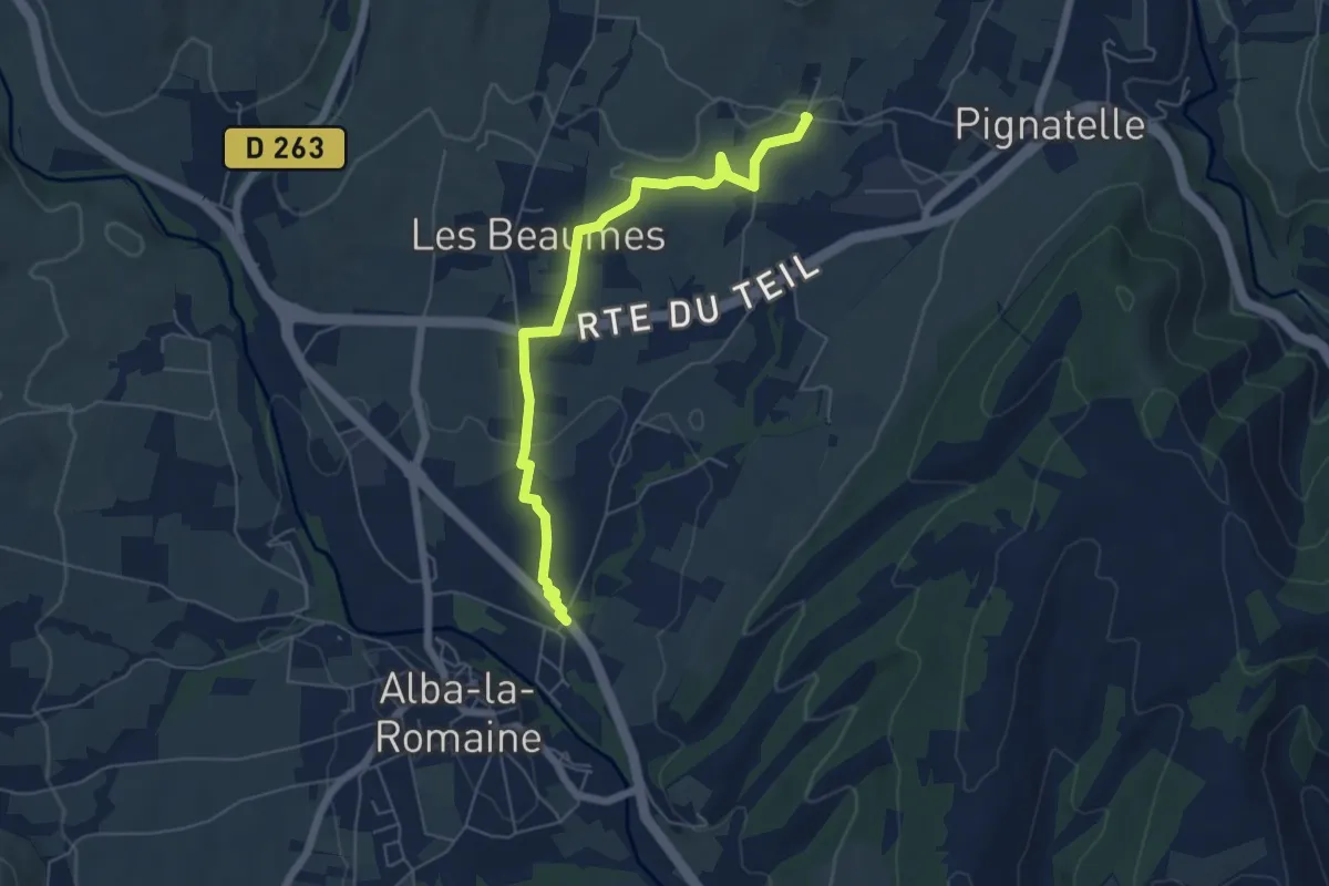
Easy · Trail
Théatre Antique - Aunas
6.0 km · ↑ 61 m · 1 h 34 min · 12 km away
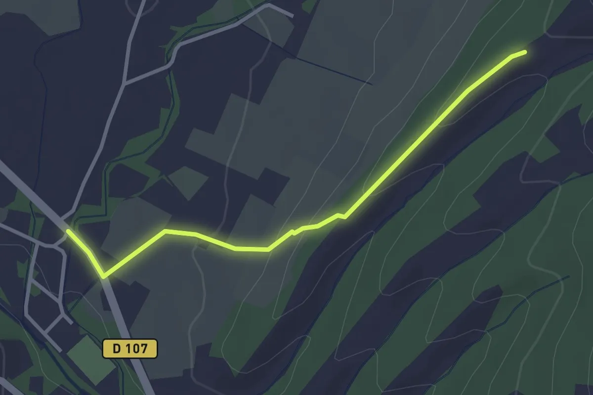
Easy · Trail
Théatre Antique - Fontbonne
3.1 km · ↑ 109 m · 57 min · 12 km away
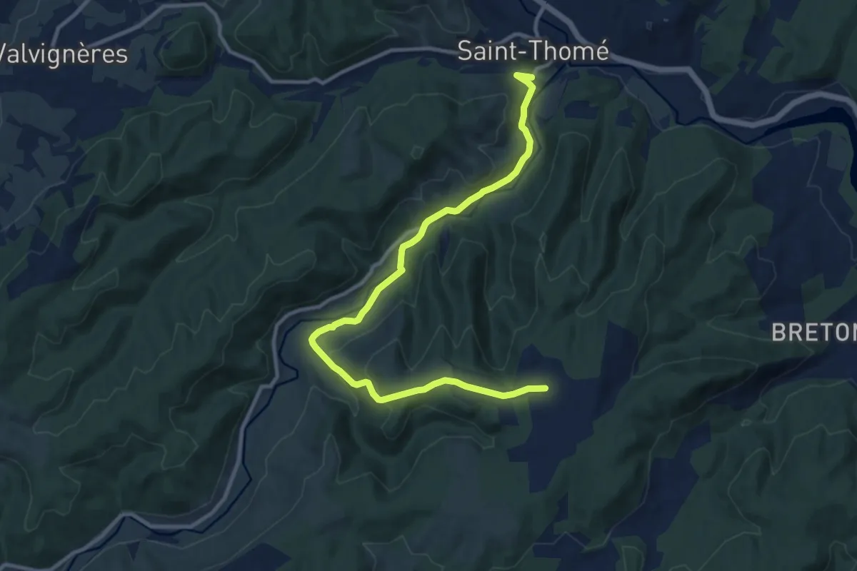
Medium · Trail
Bonnefoy - Brugette
11.9 km · ↑ 354 m · 3 h 34 min · 12 km away
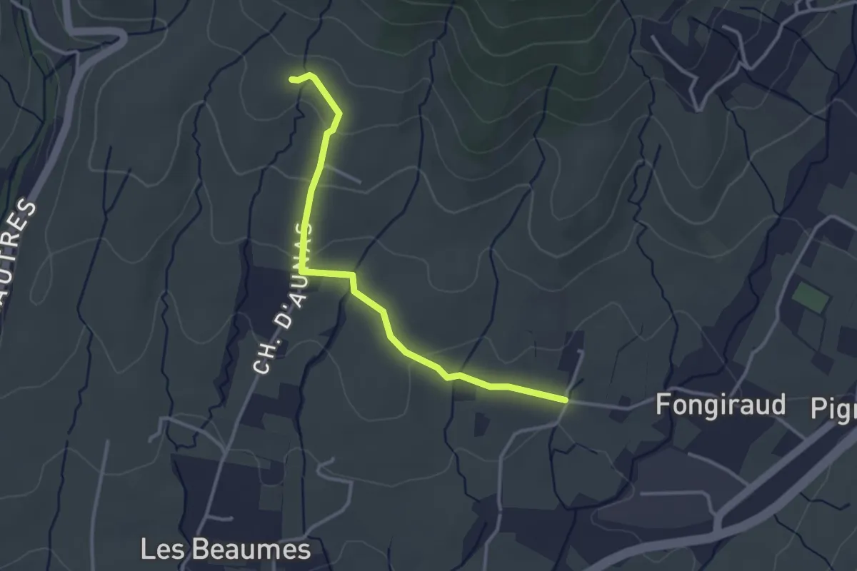
Easy · Trail
Aunas - Lebrat
3.2 km · ↑ 88 m · 57 min · 12 km away
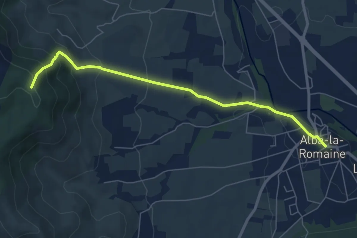
Medium · Trail
Alba-la-Romaine - Terre d'Aps
5.7 km · ↑ 321 m · 2 h 3 min · 12 km away
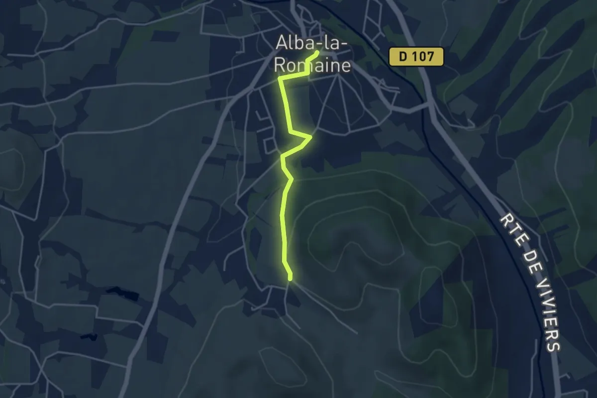
Easy · Trail
Alba-la-Romaine - Le Devois
3.3 km · ↑ 70 m · 56 min · 12 km away
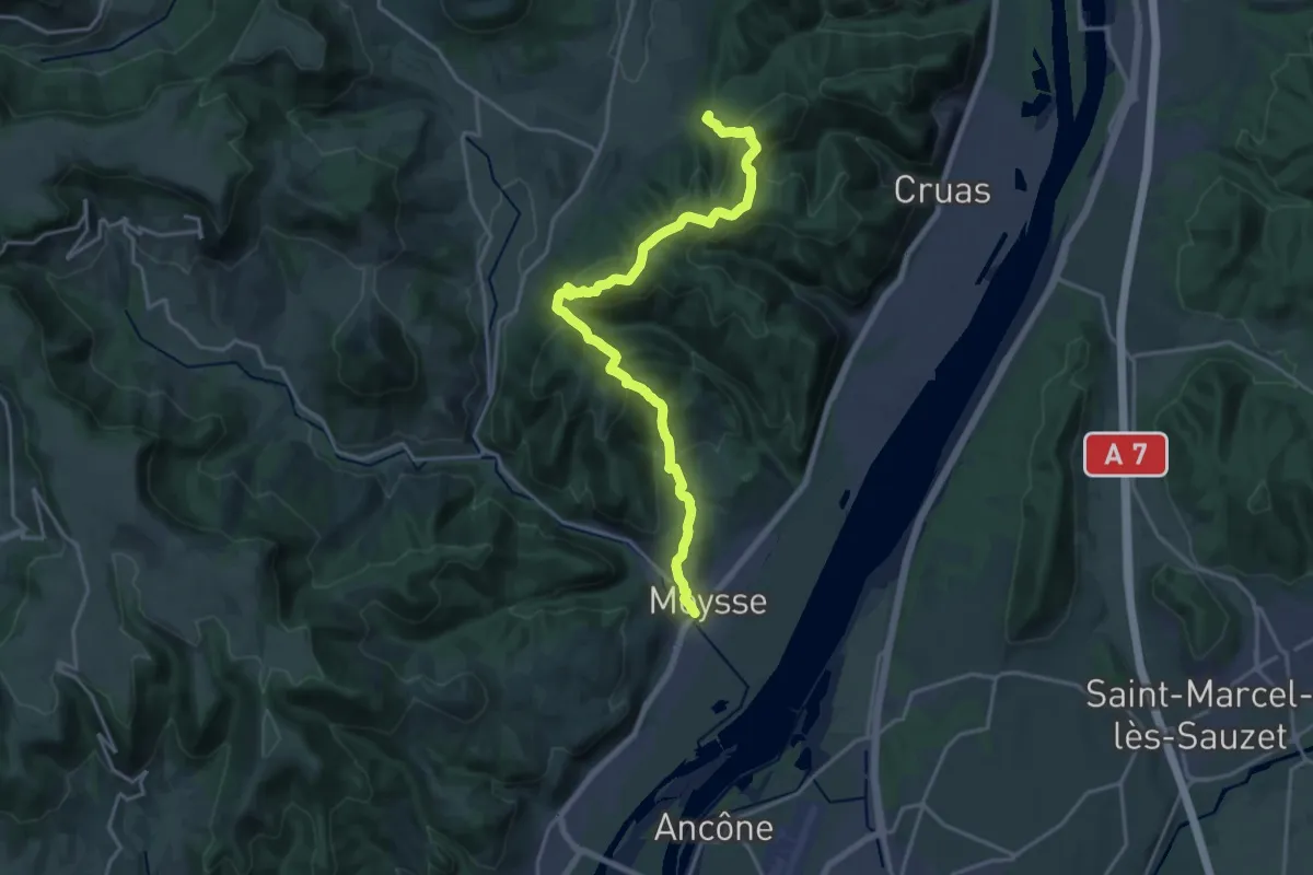
Demanding · Trail
SPHC, étape 18
20.6 km · ↑ 888 m · 6 h 47 min · 12 km away
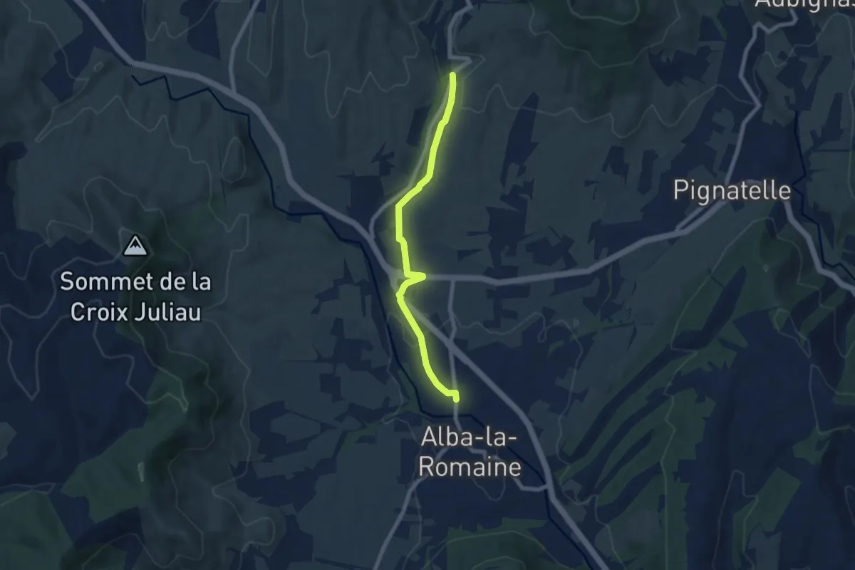
Easy · Trail
La Planchette - Le Fraysse
6.6 km · ↑ 101 m · 1 h 47 min · 12 km away
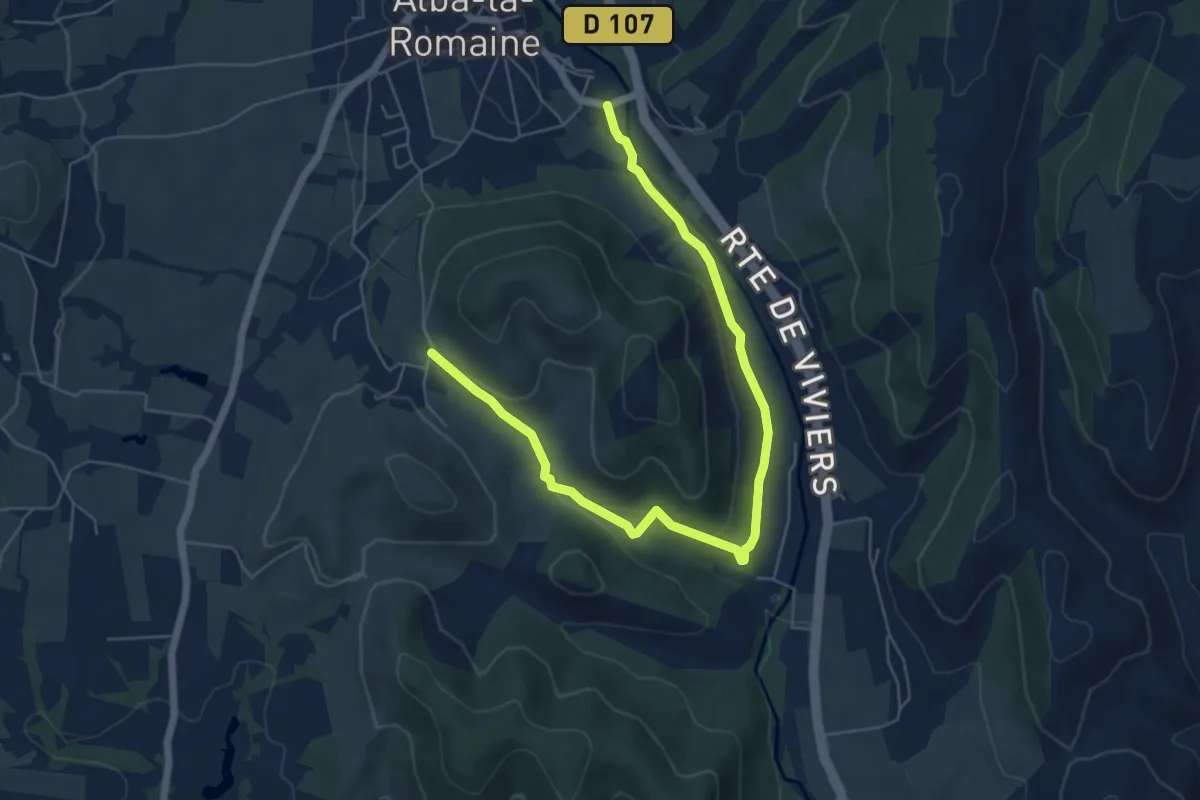
Easy · Trail
La Roche - Le Devois
7.2 km · ↑ 164 m · 2 h 3 min · 12 km away
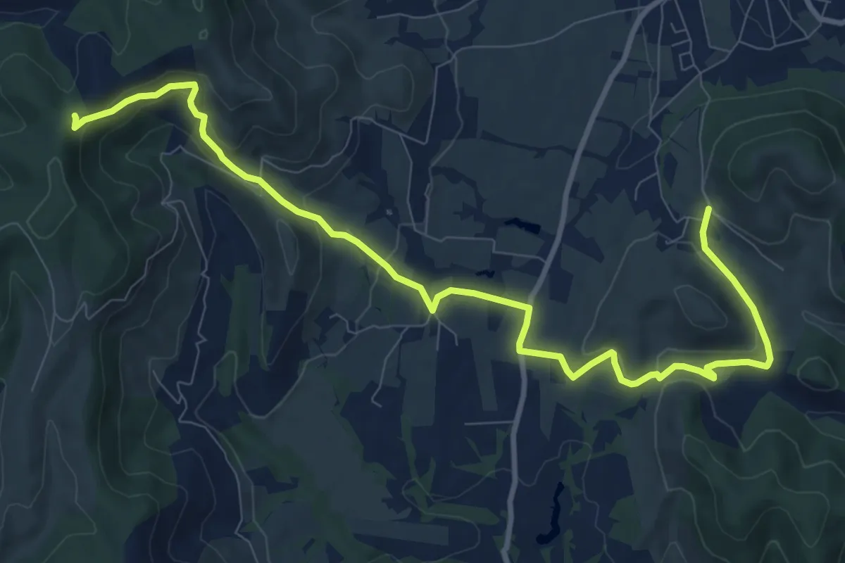
Medium · Trail
Le Devois - Col de l'Épine
11.8 km · ↑ 370 m · 3 h 36 min · 12 km away
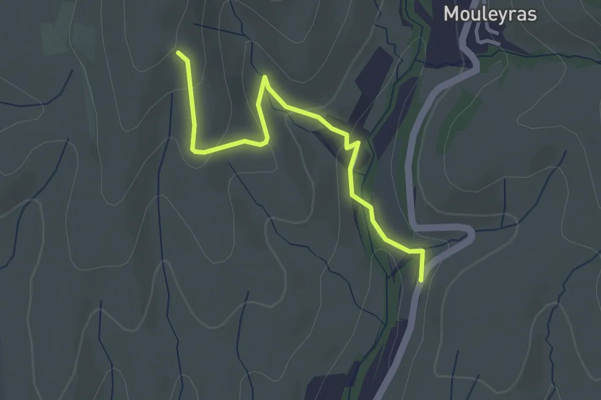
Easy · Trail
Le Fraysse - Fourche
3.1 km · ↑ 126 m · 1 h · 13 km away
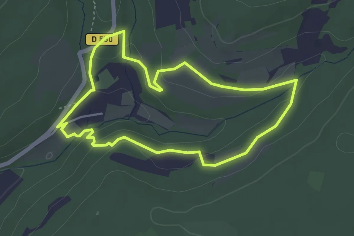
Medium · Trail
Tour de l’Abbaye
3.4 km · ↑ 93 m · 1 h 3 min · 13 km away
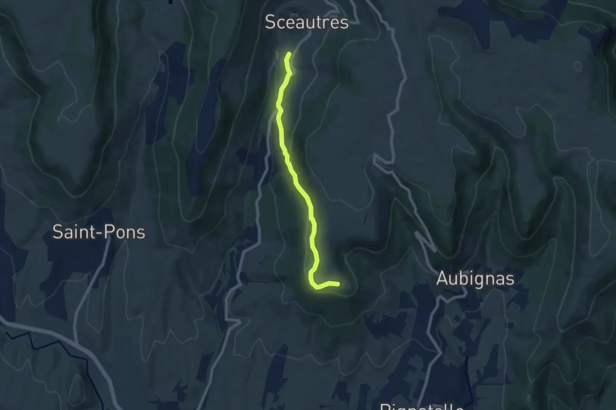
Easy · Trail
Chambon - La Carrière
6.6 km · ↑ 187 m · 1 h 58 min · 13 km away
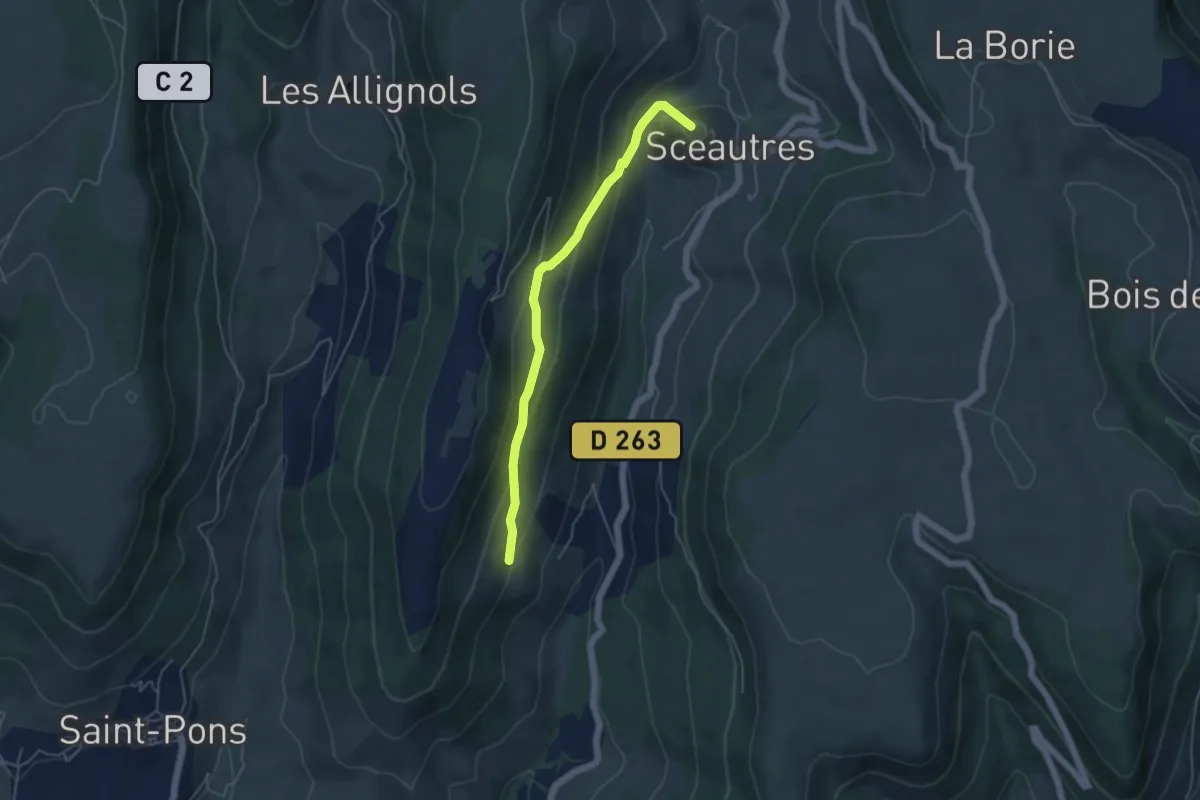
Easy · Summit
La Passerelle - Langelard
4.8 km · ↑ 215 m · 1 h 35 min · 13 km away
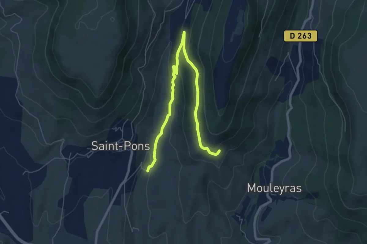
Easy · Trail
La Fabrique - Chaulène
7.1 km · ↑ 228 m · 2 h 10 min · 14 km away
Easy · Trail
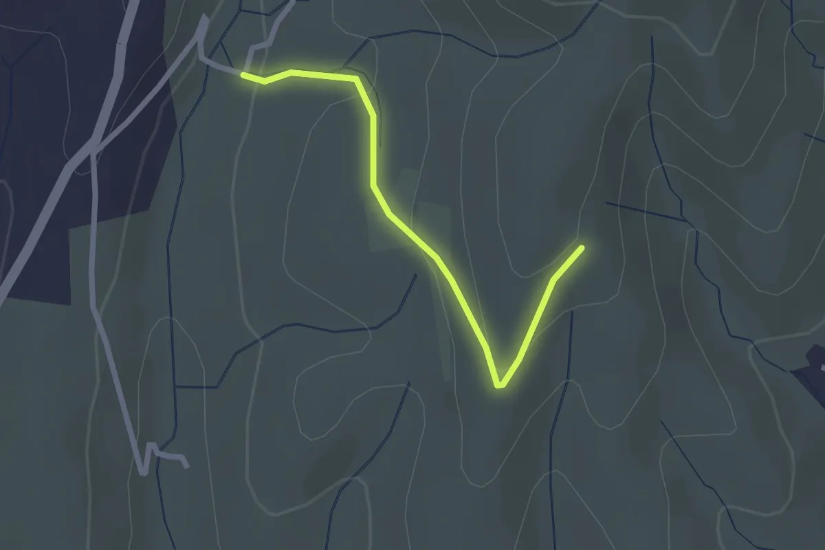
La Fabrique - Fourche
2.2 km · ↑ 79 m · 41 min · 14 km away
Easy · Trail
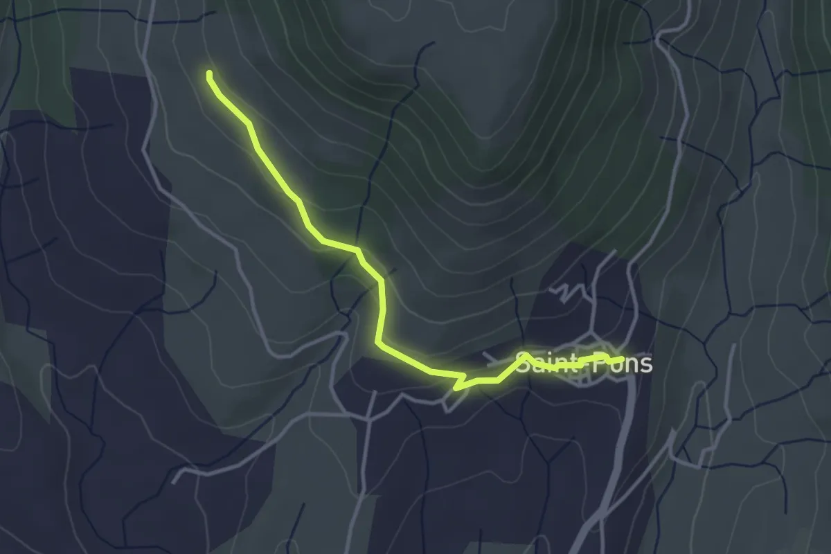
Saint-Pons - La Peyre Haut
3.5 km · ↑ 103 m · 1 h 3 min · 14 km away
Easy · Trail
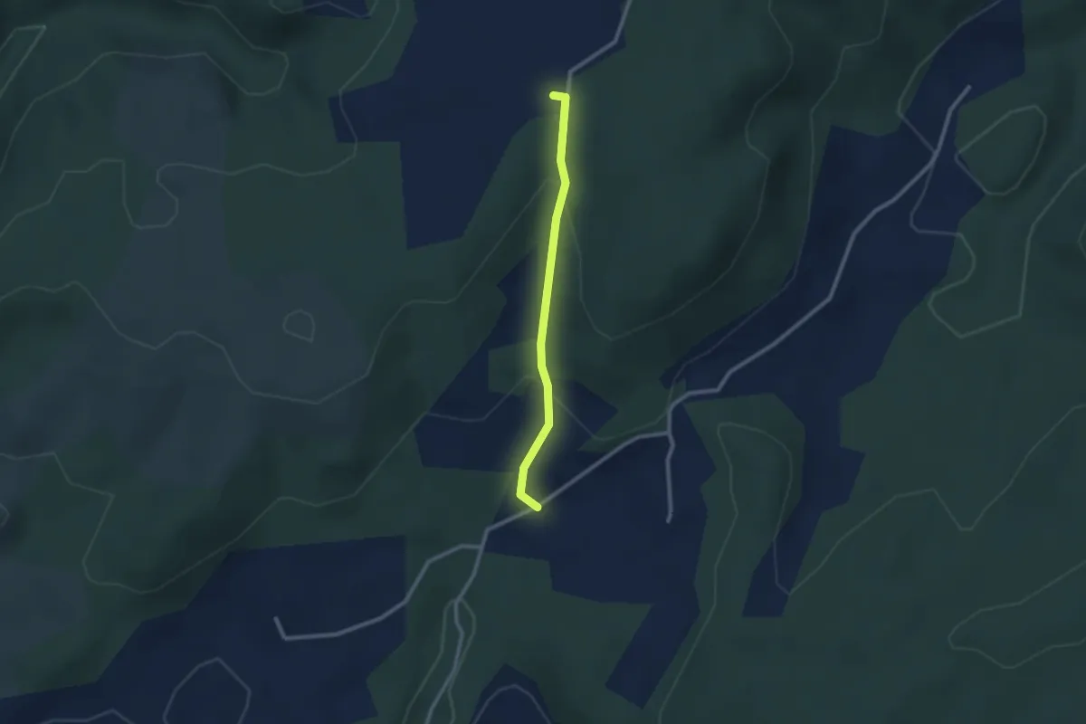
Le Moure - Bayne
2.2 km · ↑ 91 m · 44 min · 14 km away
Easy · Trail
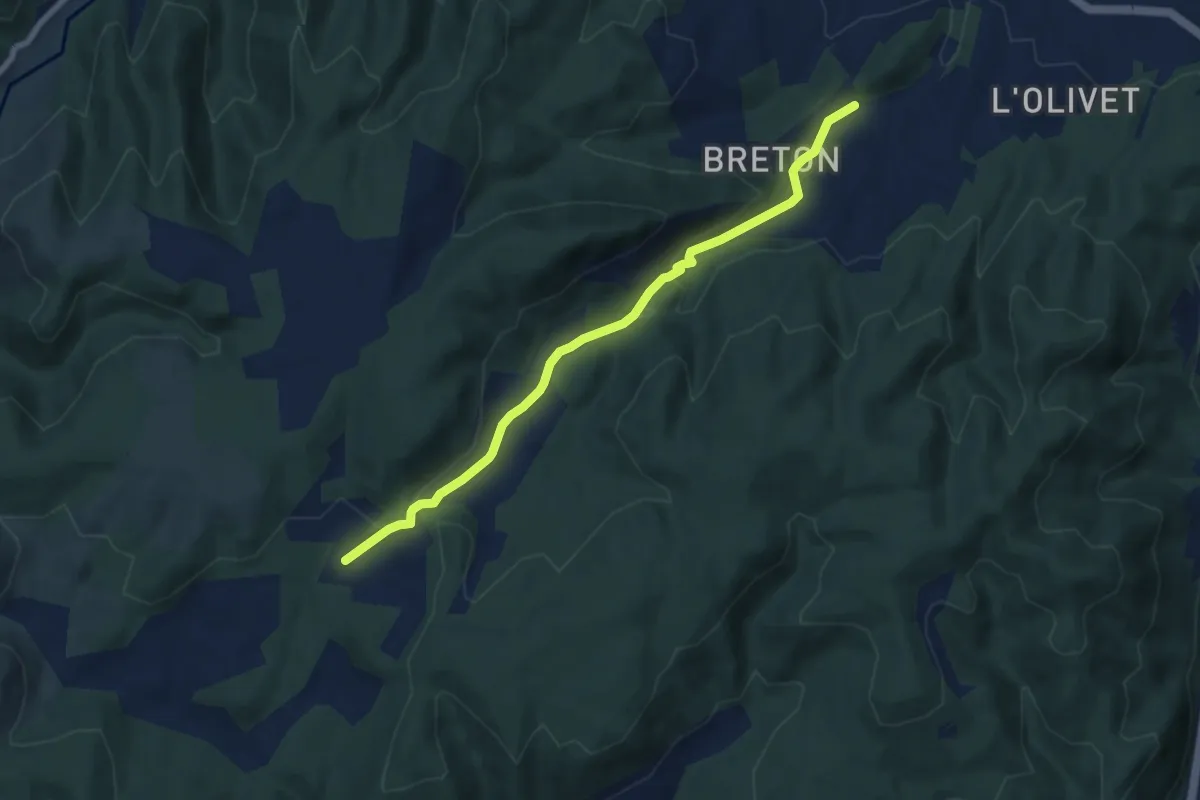
Saint-Ostian - Le Moure
7.6 km · ↑ 229 m · 2 h 17 min · 14 km away