Trails near Montpon-Ménestérol
22 hikes starting within 15 km, nearest first.
Nearest first
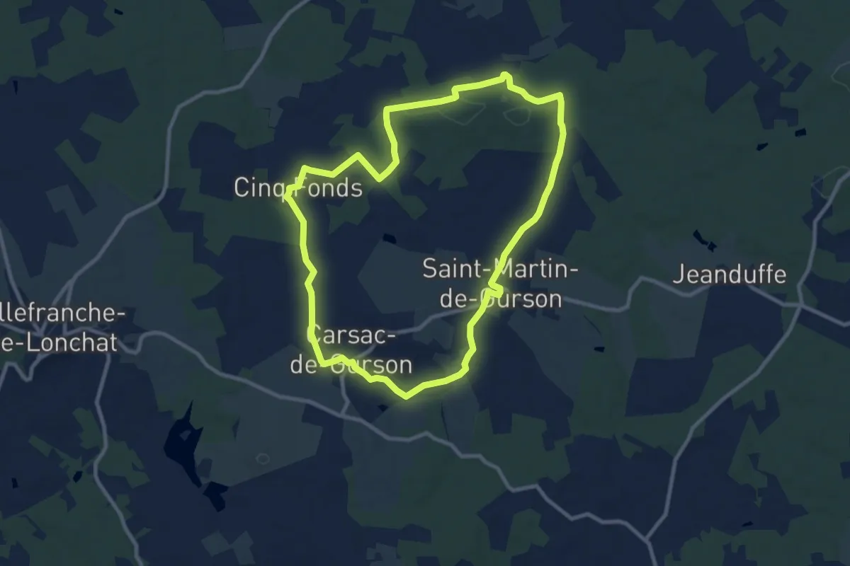
Medium · Trail
Boucle de Plagnac
9.4 km · ↑ 122 m · 2 h 37 min · 6 km away
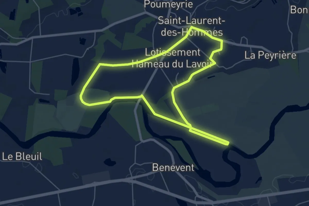
Easy · Trail
Boucle de l'écluse
5.5 km · ↑ 9 m · 1 h 24 min · 8 km away
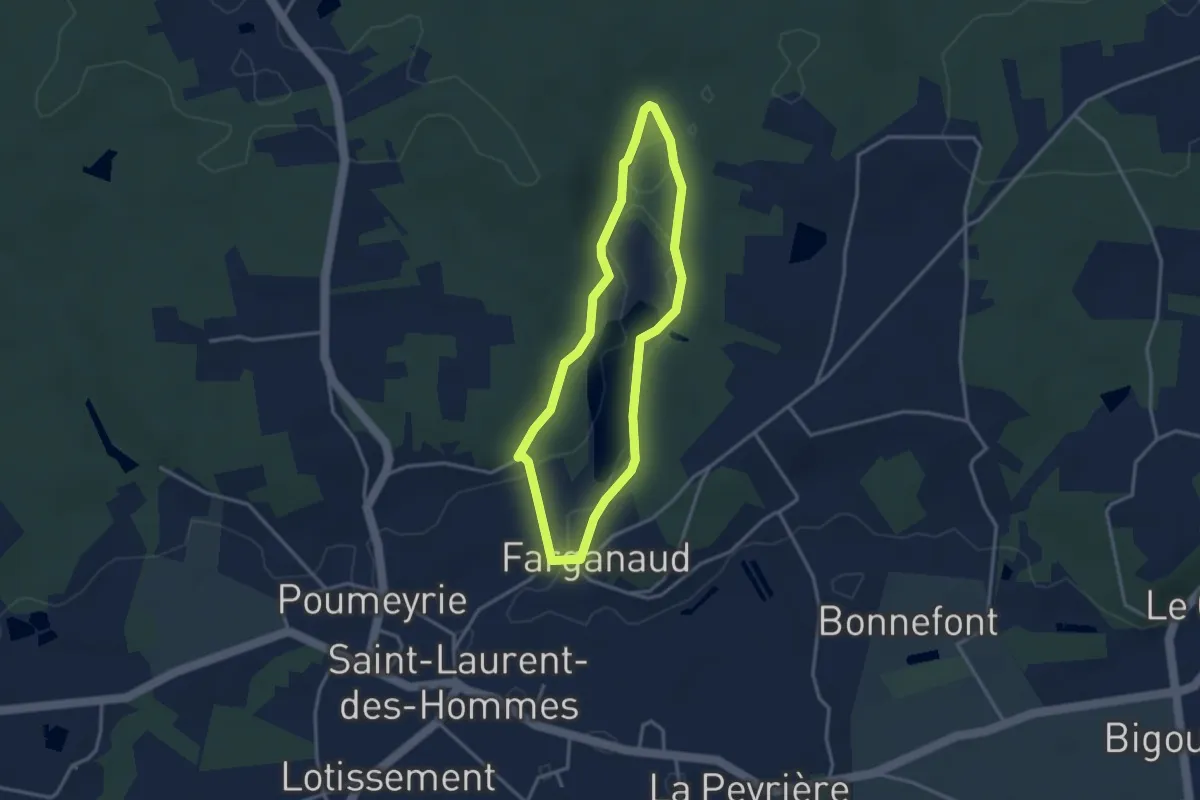
Easy · Trail
Boucle de l'étang
3.0 km · ↑ 79 m · 55 min · 8 km away
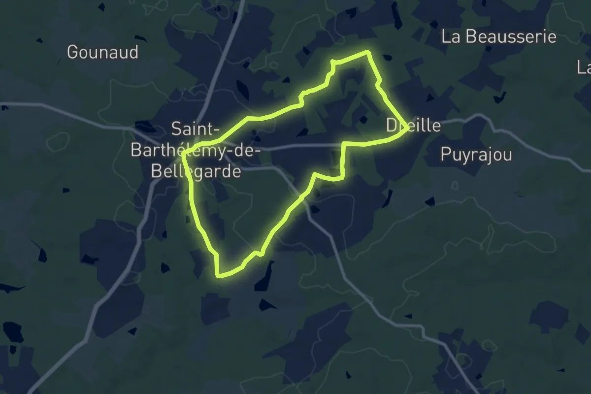
Medium · Trail
Boucle des étangs du Jard
8.0 km · ↑ 99 m · 2 h 13 min · 8 km away
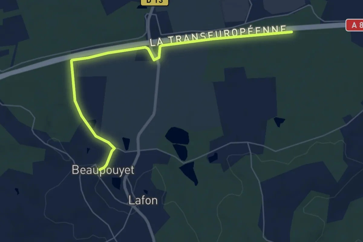
Easy · Trail
Liaison Beaupouyet - Forêt du Vignoble
6.7 km · ↑ 55 m · 1 h 42 min · 10 km away
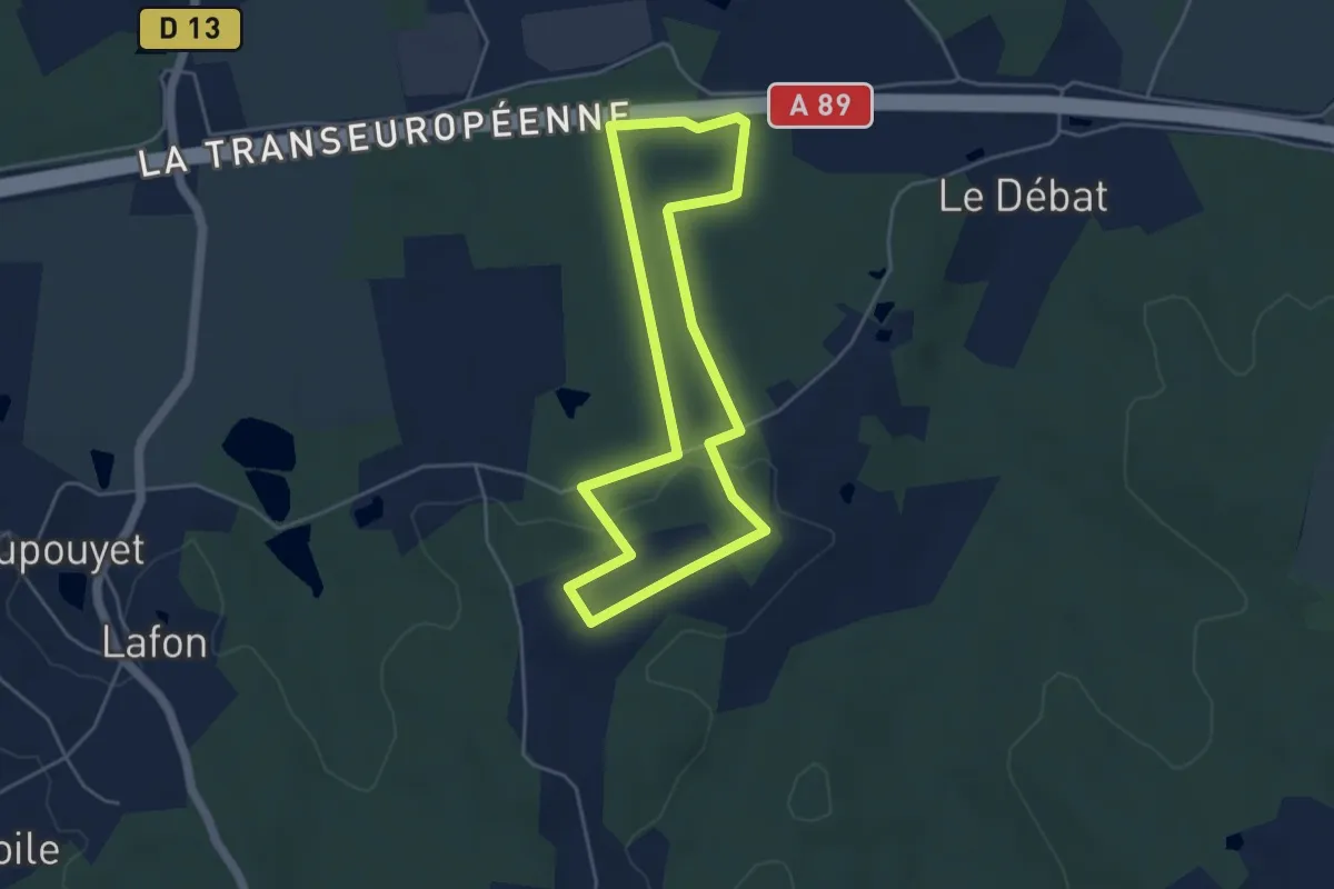
Easy · Trail
Boucle de la forêt
4.4 km · ↑ 67 m · 1 h 14 min · 11 km away
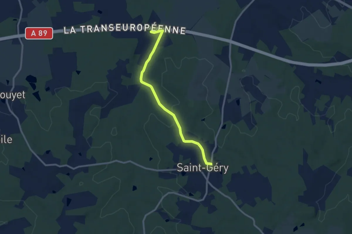
Easy · Trail
Liaison
7.3 km · ↑ 83 m · 1 h 54 min · 12 km away
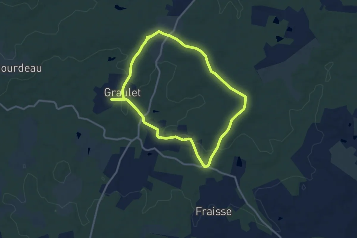
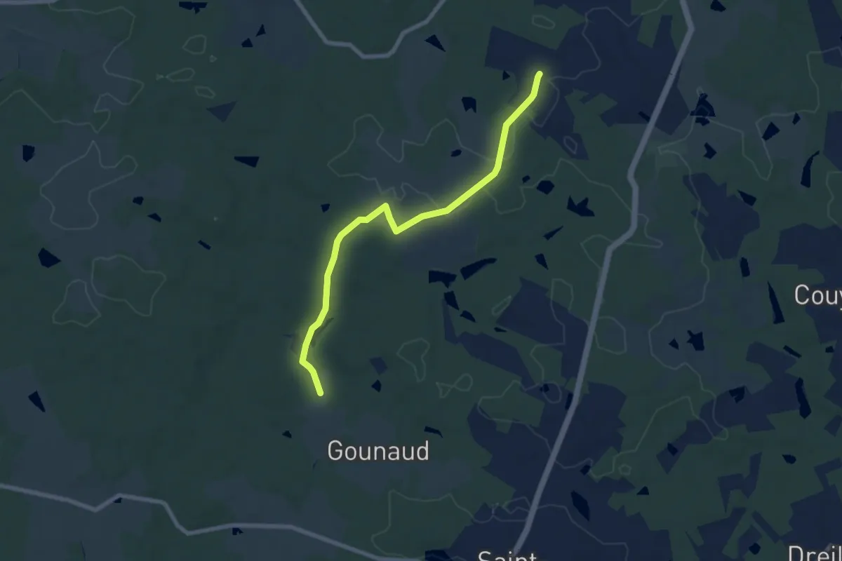
Medium · Trail
Boucle de la Lidoire
14.6 km · ↑ 163 m · 3 h 47 min · 12 km away
Easy · Trail
Liaison
7.3 km · ↑ 76 m · 1 h 53 min · 12 km away
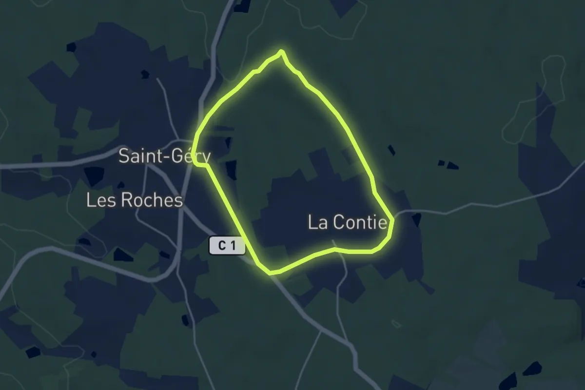
Easy · Trail
Boucle de la Motte
3.4 km · ↑ 36 m · 56 min · 13 km away
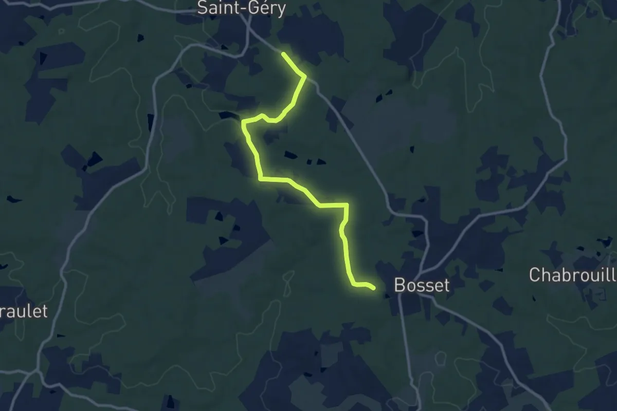
Medium · Trail
Liaison St-Gery - Bosset - Fraisse
10.1 km · ↑ 127 m · 2 h 39 min · 14 km away
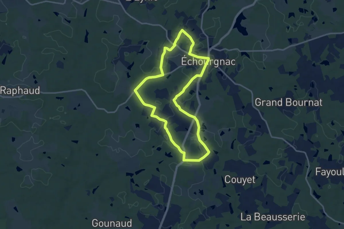
Medium · Trail
Boucle d'Echourgnac
10.5 km · ↑ 100 m · 2 h 51 min · 14 km away
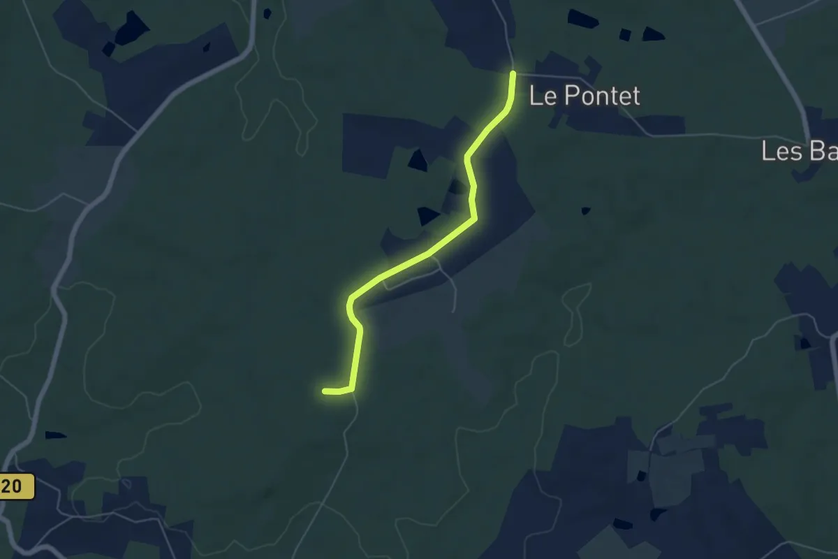
Easy · Trail
Liaison St-Gery - Bosset - Fraisse
5.0 km · ↑ 44 m · 1 h 16 min · 14 km away
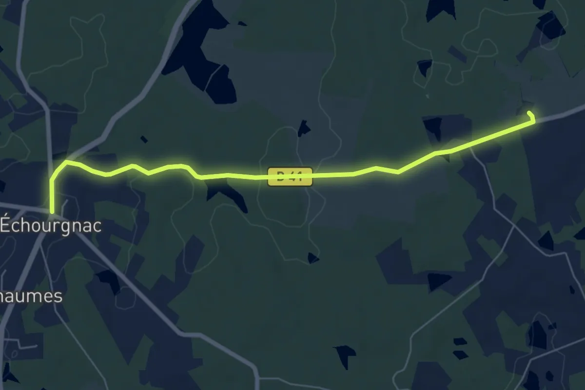
Easy · Trail
Liaison Echourgnac - Ferme du Parcot
6.3 km · ↑ 94 m · 1 h 42 min · 14 km away
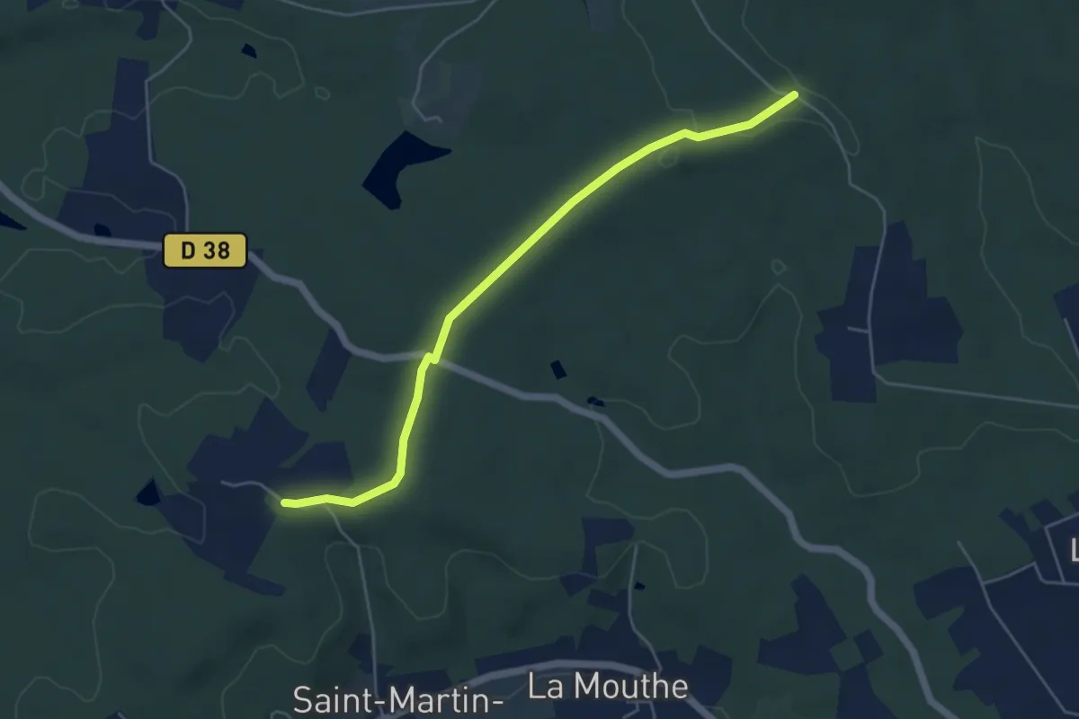
Easy · Trail
Liaison St-Front-de-Pradoux - St-Martin-l'Astier - St-Laurent-des-Hommes - La Jemaye - Echourgnac - St-Etienne-de-Puycorbier
5.2 km · ↑ 40 m · 1 h 19 min · 14 km away
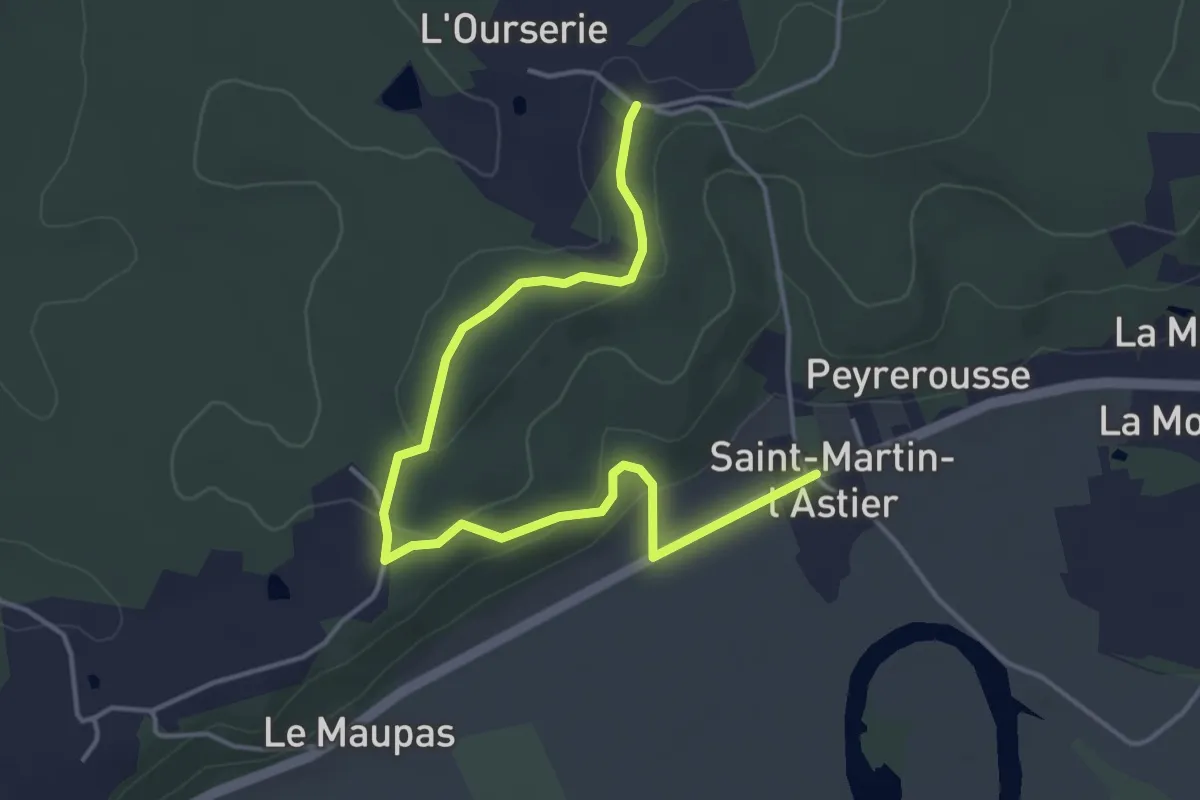
Easy · Trail
Liaison
5.1 km · ↑ 89 m · 1 h 24 min · 14 km away
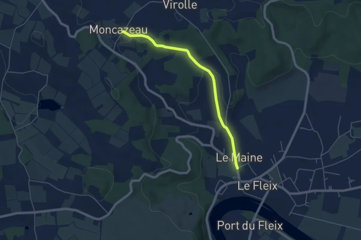
Easy · Trail
Boucle de Cap de fer - Variante
4.5 km · ↑ 105 m · 1 h 18 min · 14 km away
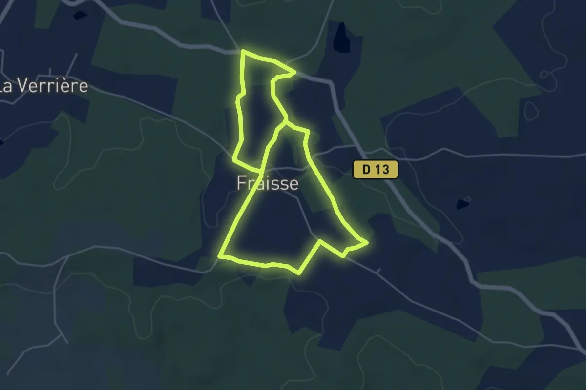
Medium · Trail
Tour du Village
9.0 km · ↑ 67 m · 2 h 16 min · 14 km away
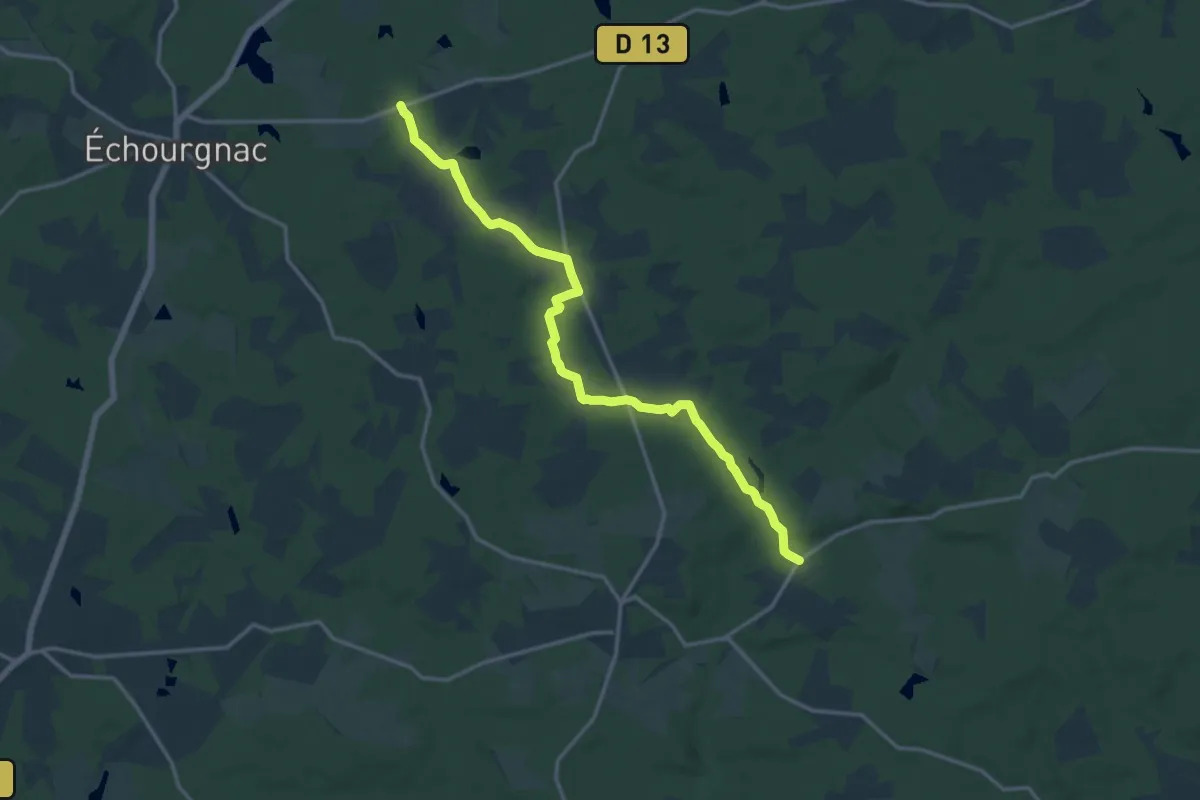
Medium · Trail
Liaison St-Front-de-Pradoux - St-Martin-l'Astier - St-Laurent-des-Hommes - La Jemaye - Echourgnac - St-Etienne-de-Puycorbier
15.8 km · ↑ 147 m · 4 h 3 min · 15 km away
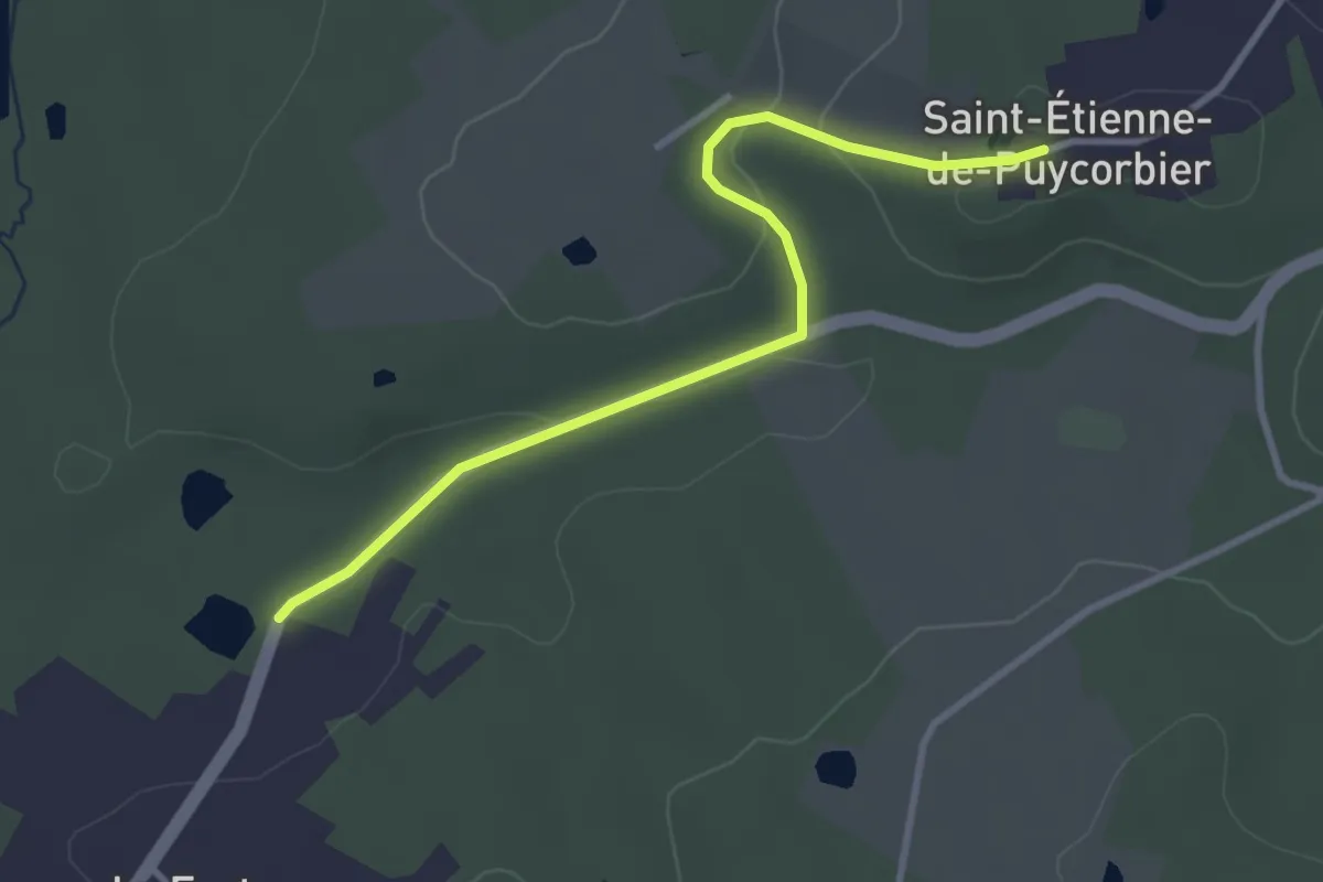
Easy · Trail
Liaison St-Front-de-Pradoux - St-Martin-l'Astier - St-Laurent-des-Hommes - La Jemaye - Echourgnac - St-Etienne-de-Puycorbier
3.4 km · ↑ 65 m · 57 min · 15 km away
Easy · Trail
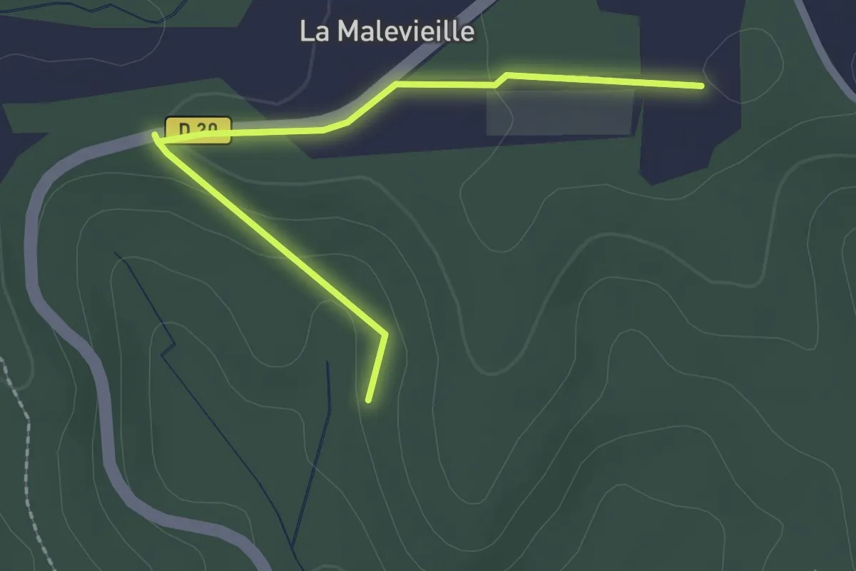
Liaison
2.4 km · ↑ 36 m · 38 min · 15 km away
Easy · Trail
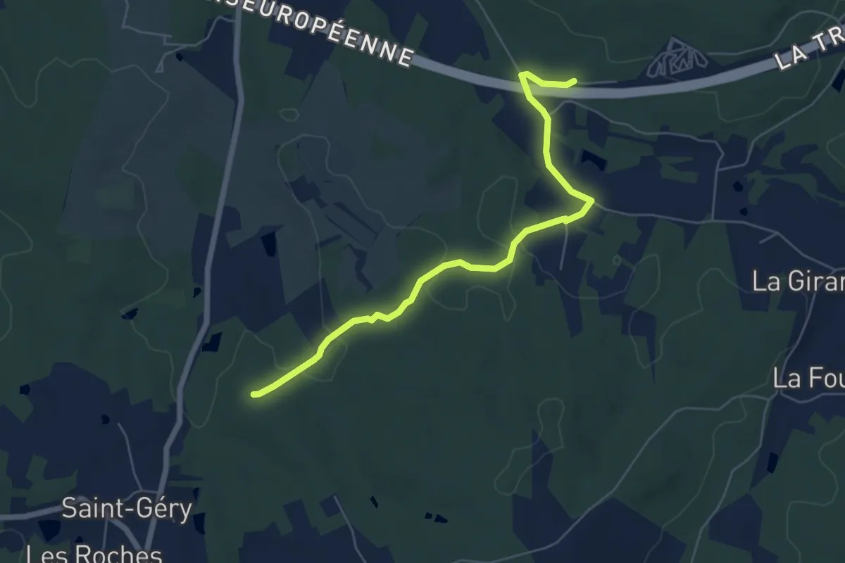
Liaison Les Lèches - St-Géry - Boucle de Bellevue
6.2 km · ↑ 107 m · 1 h 42 min · 15 km away