Trails near Mougins
42 hikes starting within 15 km, nearest first.
Nearest first
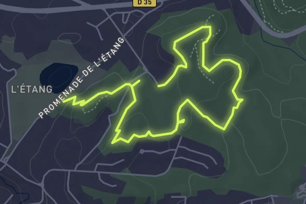
Medium · Trail
La Valmasque - Promenade de Fontmerle
8.0 km · ↑ 155 m · 2 h 14 min · 2 km away
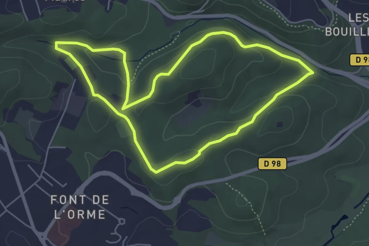
Easy · Trail
Circuit du Carton
4.8 km · ↑ 92 m · 1 h 24 min · 3 km away
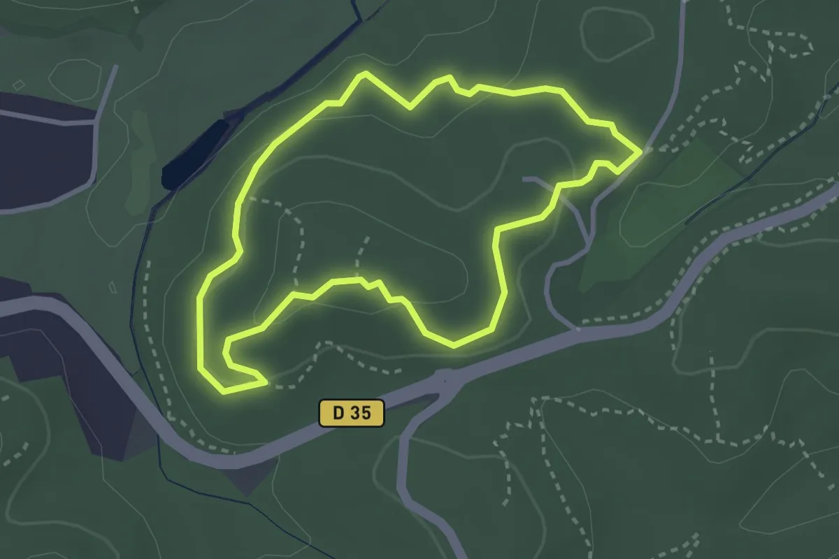
Easy · Trail
Valmasque - Balisage bleu
3.0 km · ↑ 82 m · 55 min · 3 km away
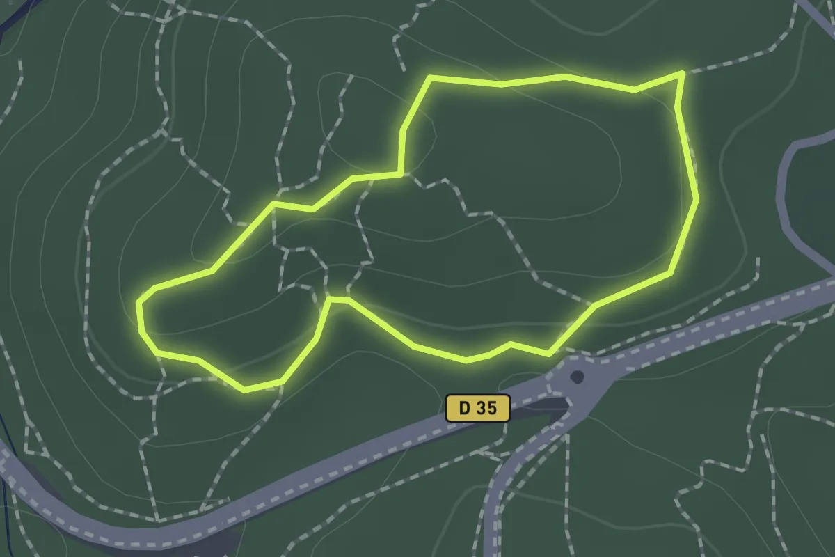
Easy · Trail
La Valmasque - Sentier de Découverte
1.6 km · ↑ 38 m · 29 min · 3 km away
Easy · Trail
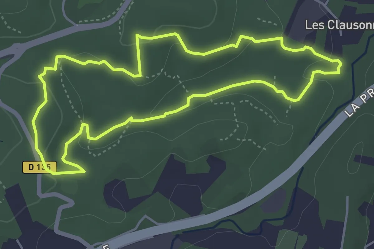
La Valmasque - Promenade du Fugueiret
4.2 km · ↑ 93 m · 1 h 15 min · 4 km away
Easy · Trail
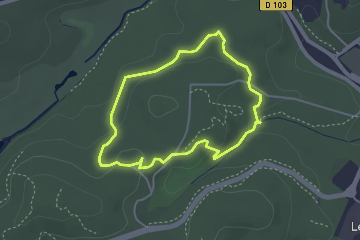
La Valmasque - Promenade du Carton
2.8 km · ↑ 49 m · 48 min · 4 km away
Easy · Trail
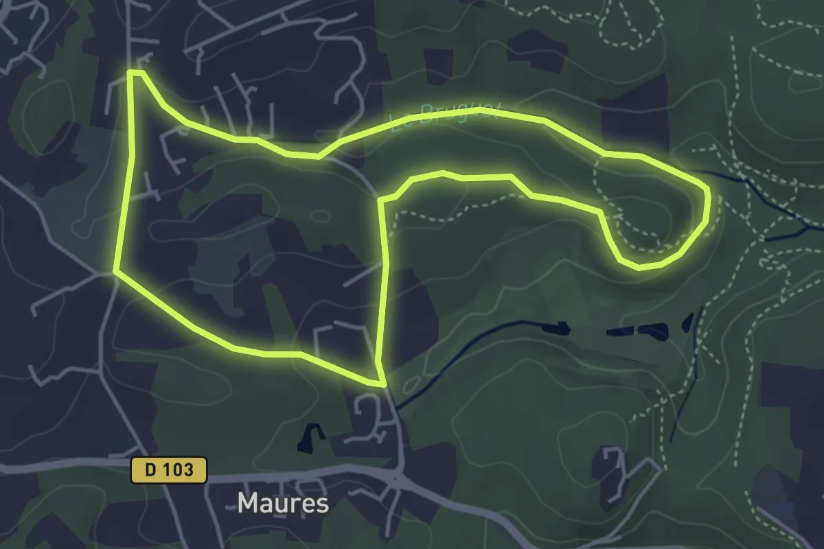
Circuit du Val Martin
4.7 km · ↑ 104 m · 1 h 24 min · 4 km away
Easy · Trail
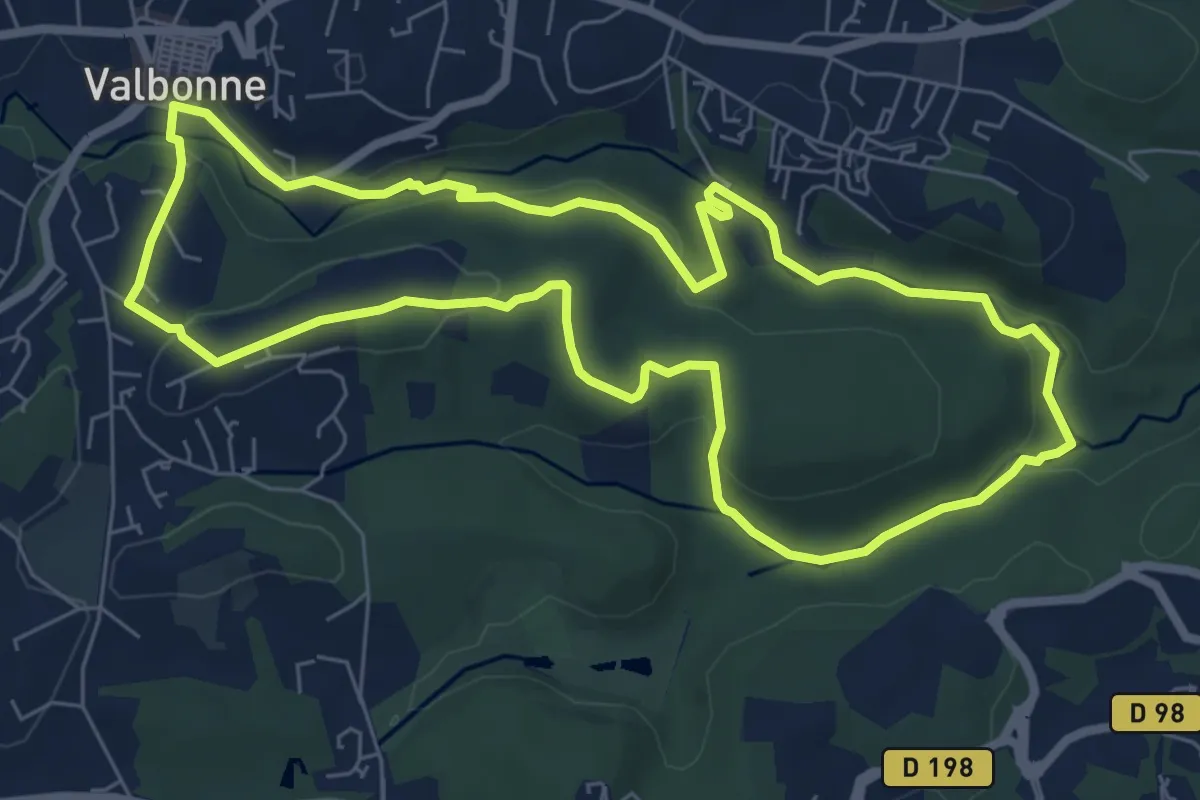
Circuit du Bruguet
7.6 km · ↑ 163 m · 2 h 16 min · 4 km away
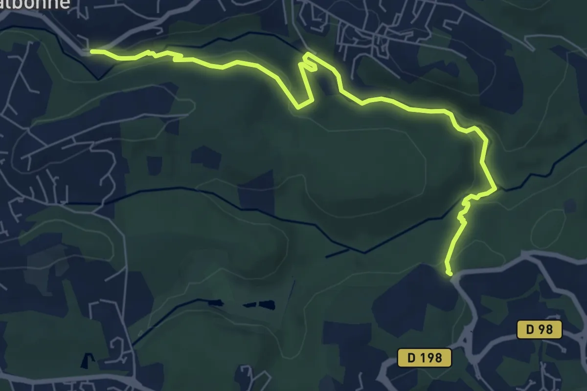
Easy · Trail
Découverte de la Brague
7.7 km · ↑ 188 m · 2 h 13 min · 4 km away
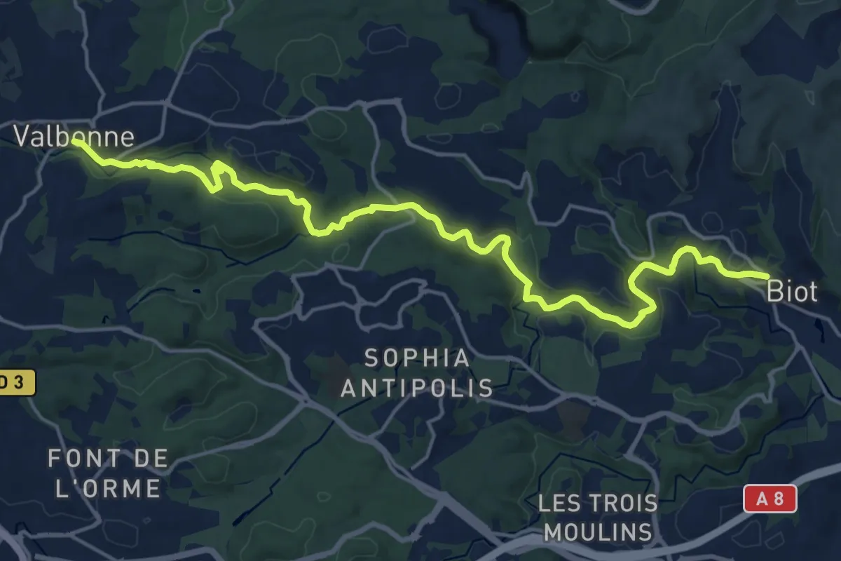
Demanding · Trail
Vallée de la Brague
20.9 km · ↑ 410 m · 5 h 49 min · 5 km away
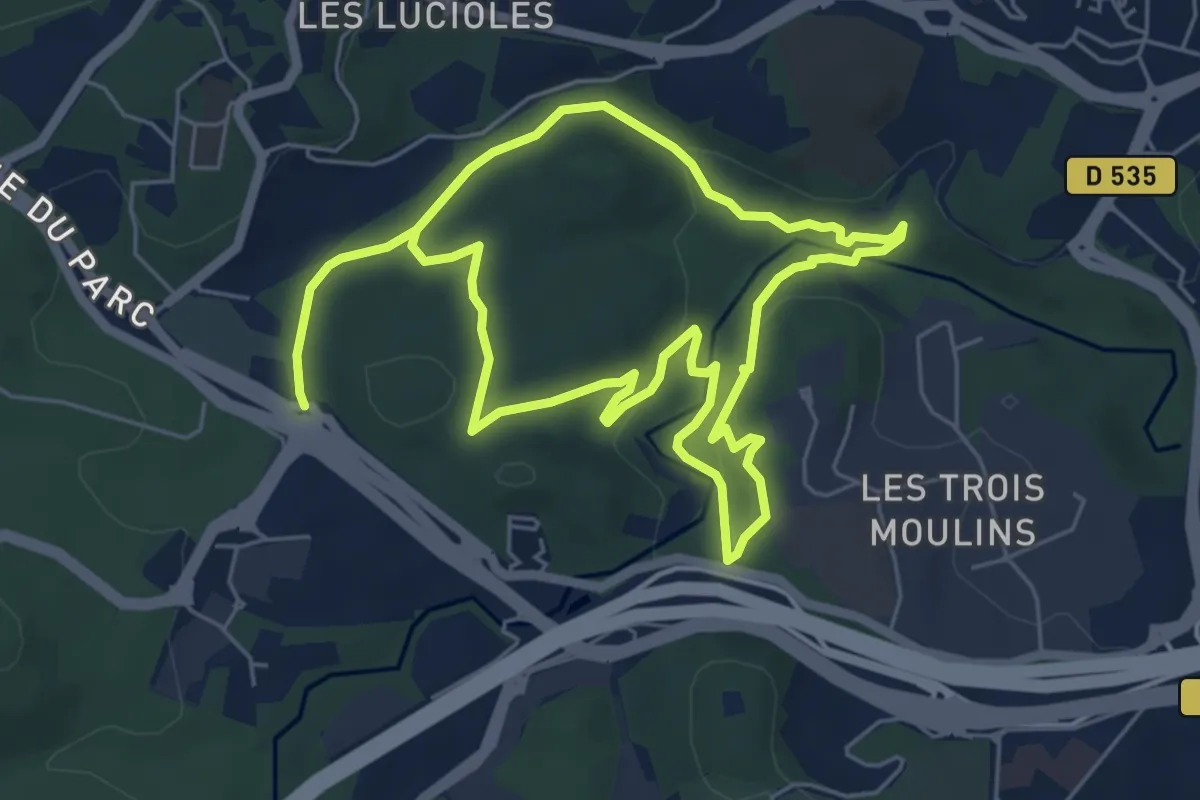
Medium · Trail
Circuit de l'Aqueduc
11.3 km · ↑ 228 m · 3 h 10 min · 5 km away
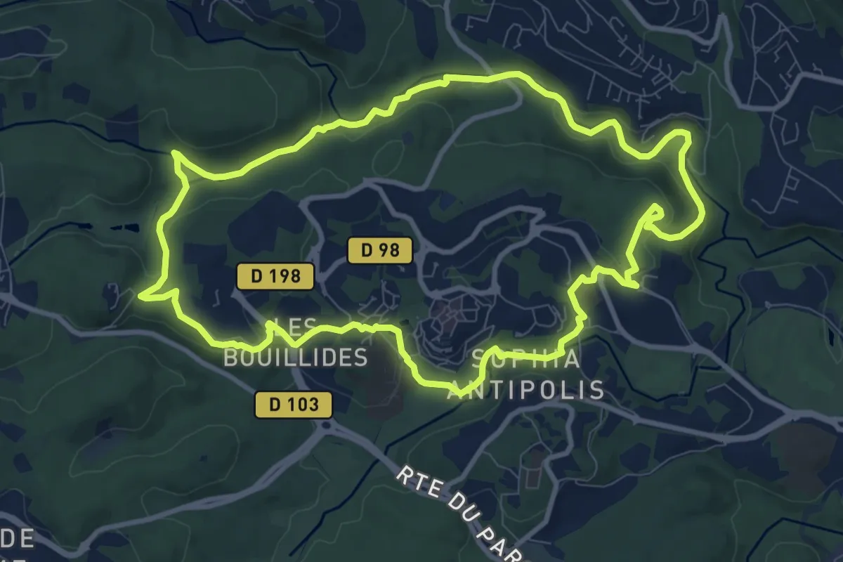
Medium · Trail
Circuit des Bouillides
10.3 km · ↑ 228 m · 3 h 4 min · 5 km away
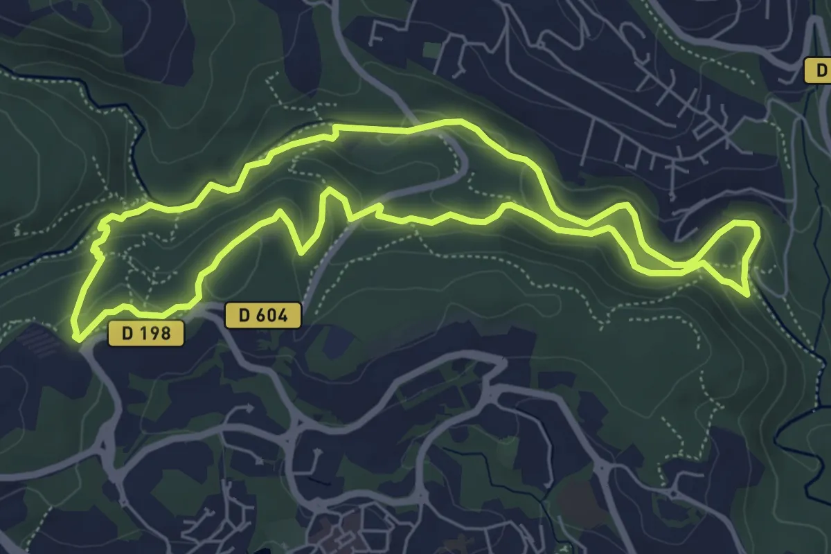
Medium · Trail
Circuit des Macarons
6.3 km · ↑ 165 m · 1 h 55 min · 5 km away
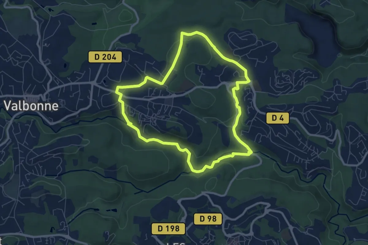
Easy · Trail
Circuit de Font Martine
7.6 km · ↑ 145 m · 2 h 13 min · 5 km away
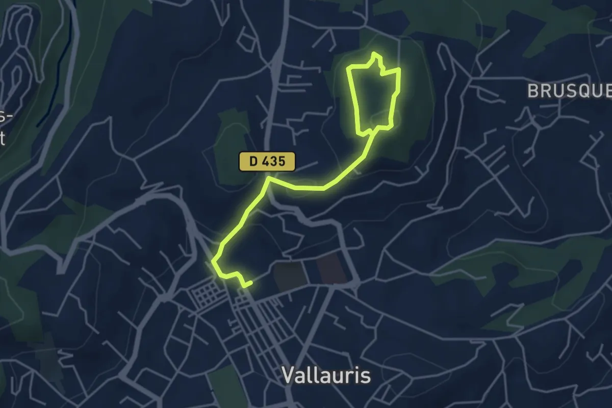
Medium · Trail
Circuit de Cordula
2.4 km · ↑ 52 m · 47 min · 5 km away
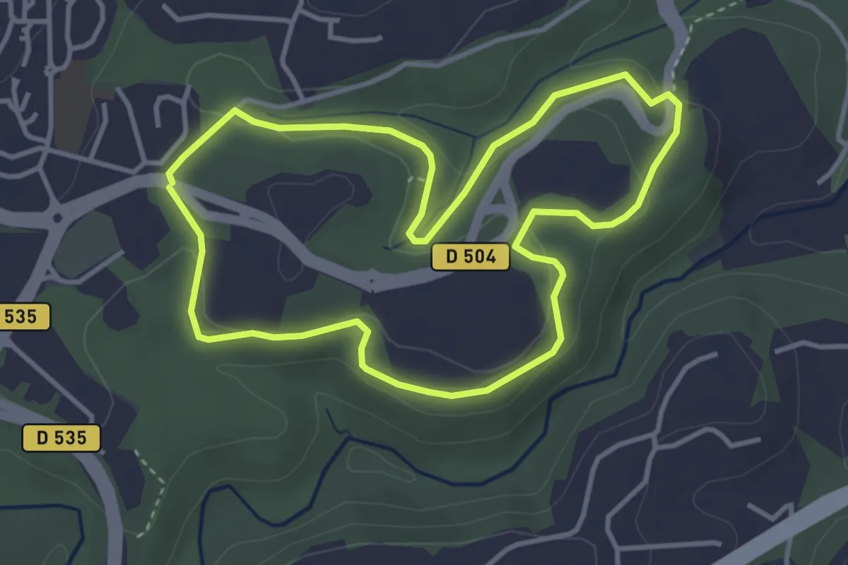
Easy · Trail
Promenade des Colles
3.6 km · ↑ 89 m · 1 h 6 min · 7 km away
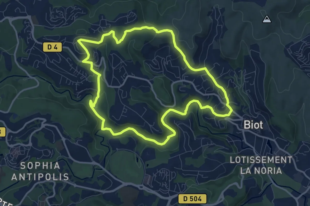
Medium · Trail
Circuit des Pierres à Four
9.9 km · ↑ 233 m · 2 h 59 min · 7 km away
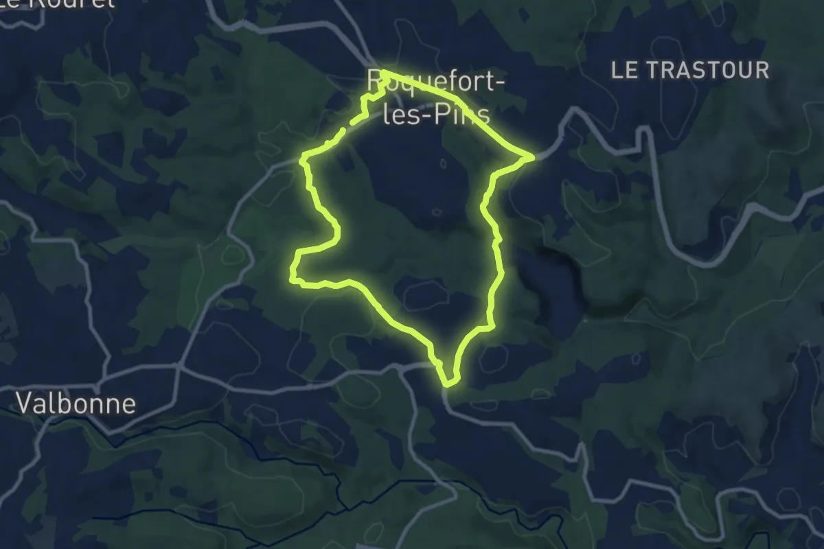
Medium · Trail
Circuit de Darbousson
8.9 km · ↑ 154 m · 2 h 34 min · 8 km away
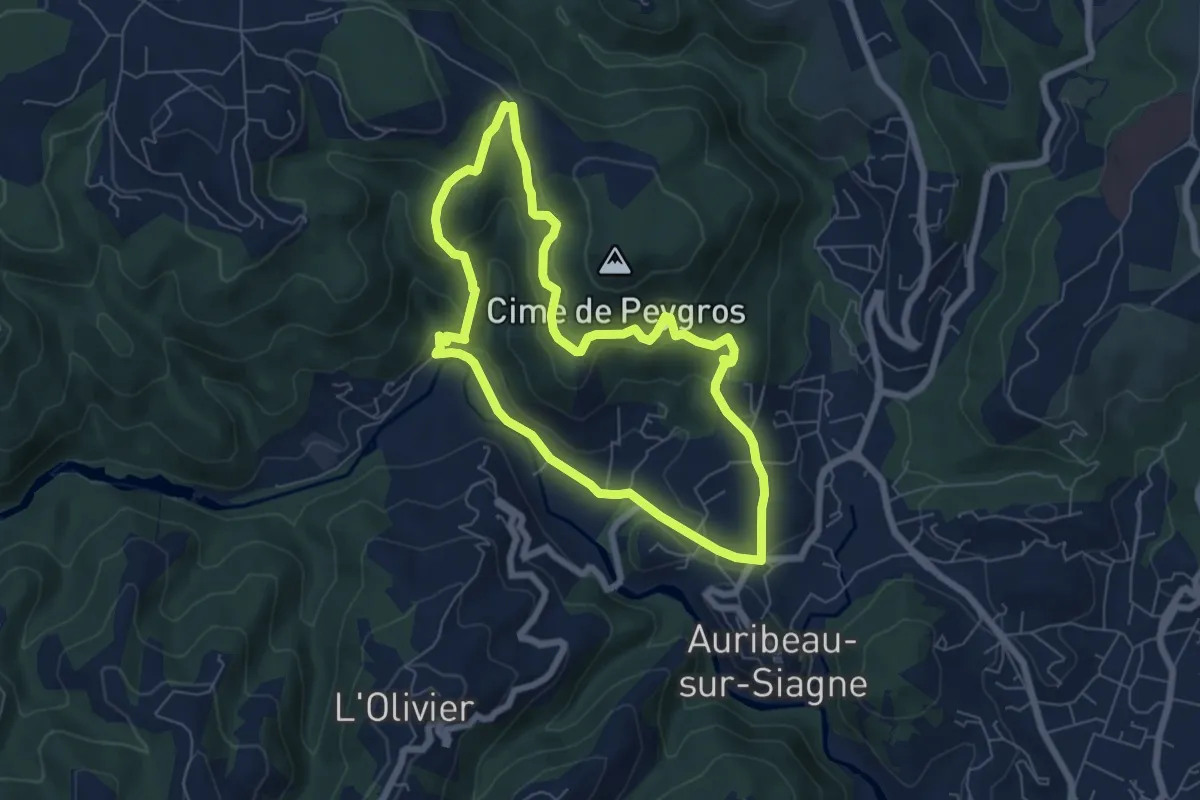
Easy · Summit
Circuit de Peygros
6.5 km · ↑ 210 m · 2 h 4 min · 8 km away
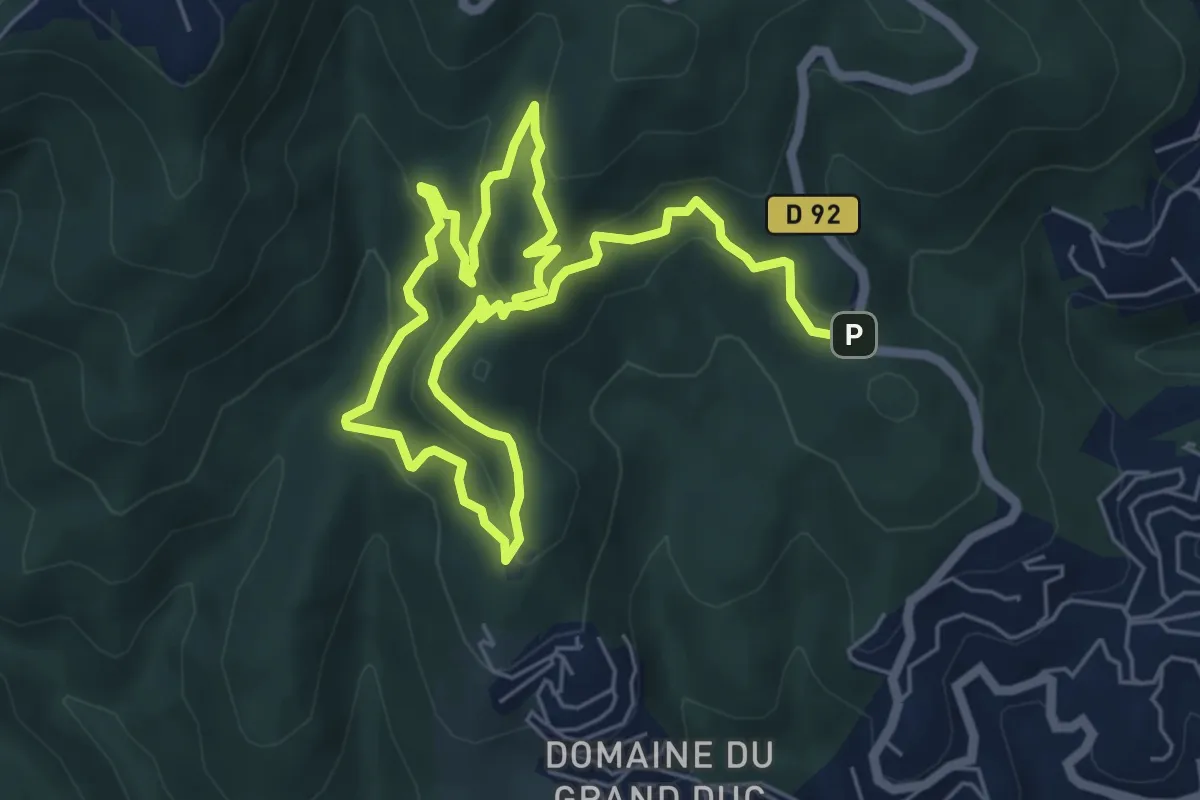
Easy · Trail
Circuit du Grand Duc
5.1 km · ↑ 246 m · 1 h 47 min · 8 km away
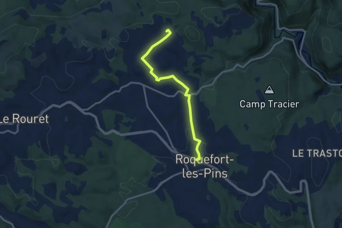
Easy · Trail
Le Rucher
7.3 km · ↑ 97 m · 1 h 56 min · 8 km away
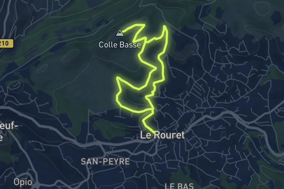
Easy · Summit
Le Camp romain
6.6 km · ↑ 191 m · 2 h 4 min · 9 km away
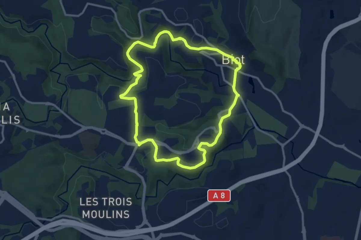
Easy · Trail
Circuit de Saint-Philippe
7.9 km · ↑ 220 m · 2 h 27 min · 9 km away
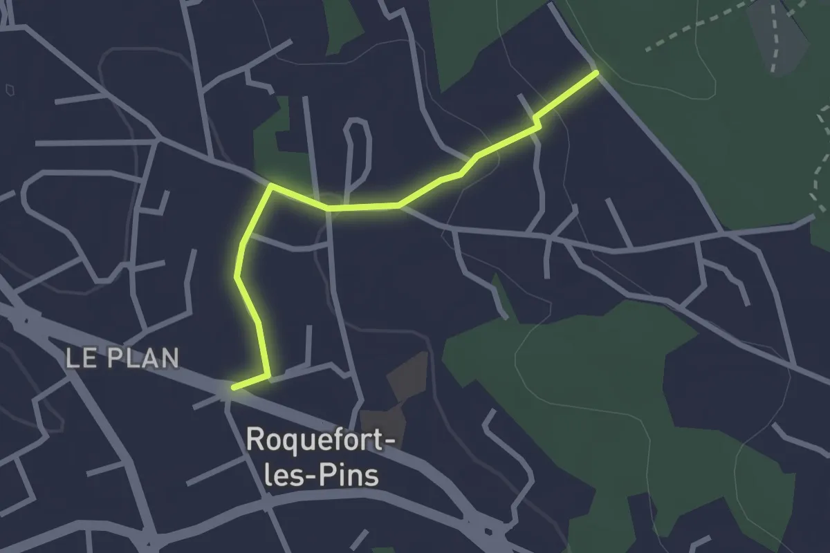
Easy · Trail
Le Castellas
2.2 km · ↑ 62 m · 39 min · 9 km away
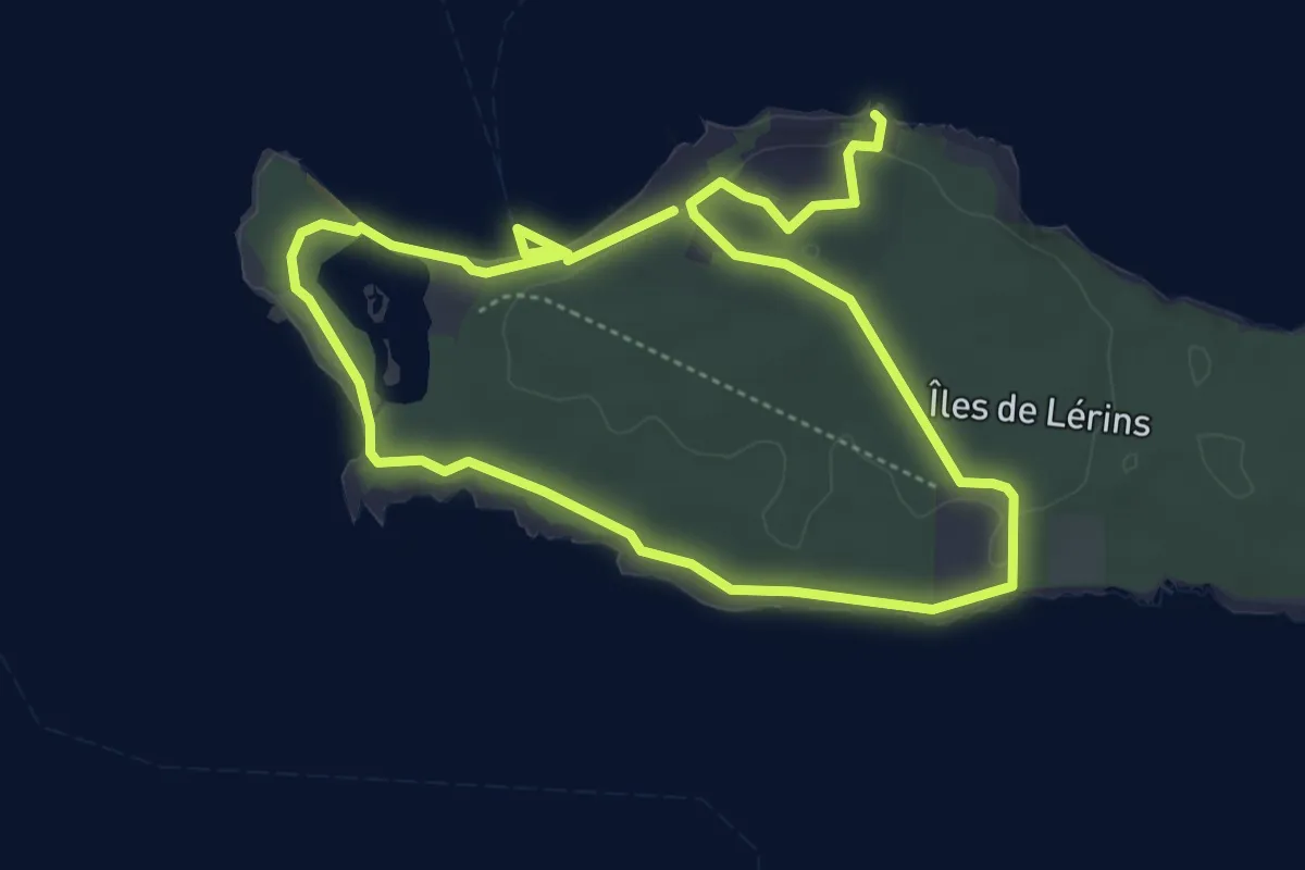
Easy · Trail
Ile Sainte-Marguerite
4.3 km · ↑ 61 m · 1 h 13 min · 9 km away
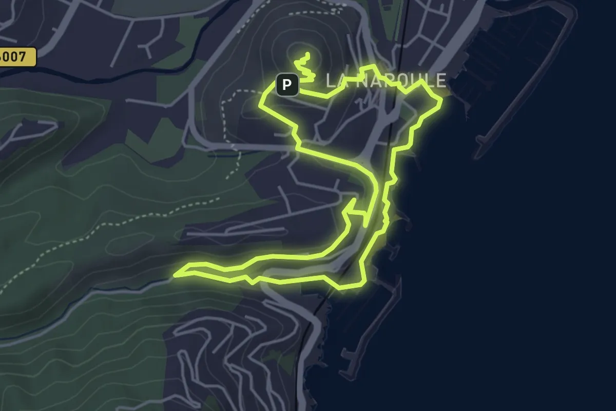
Easy · Summit
Châteaux de La Napoule
4.6 km · ↑ 156 m · 1 h 28 min · 10 km away
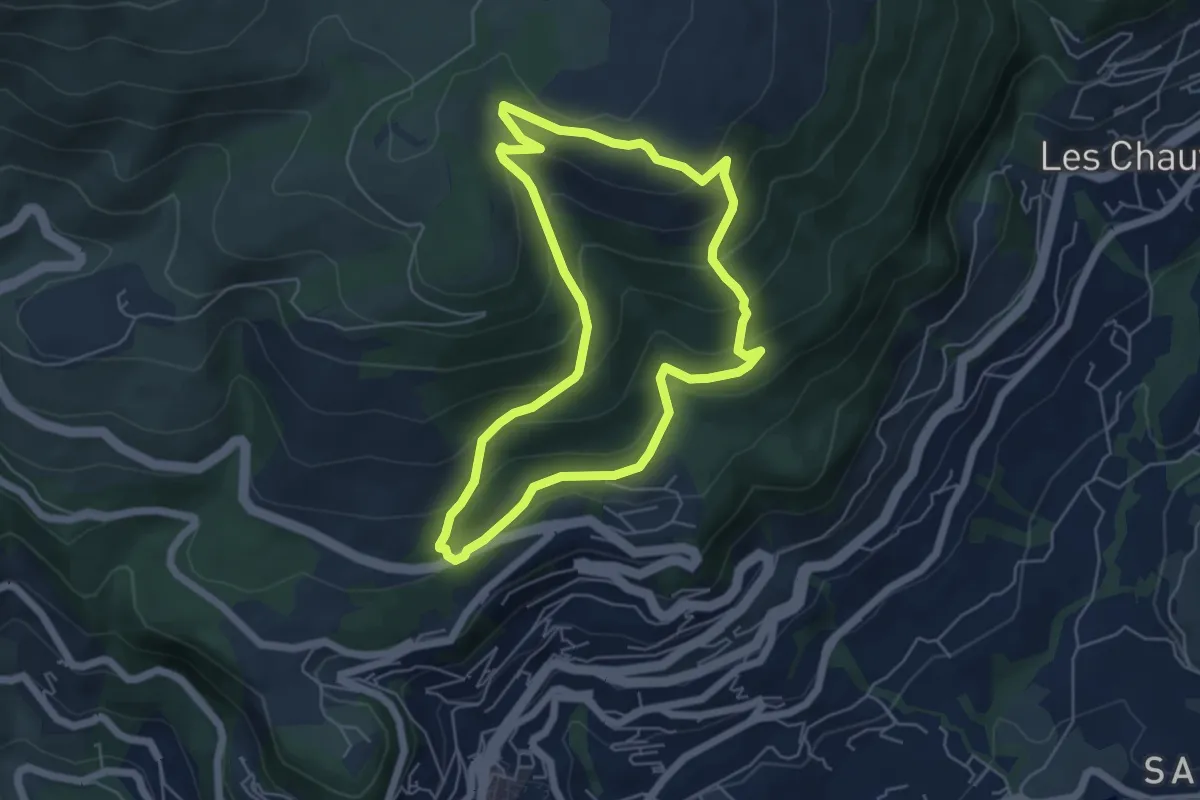
Medium · Trail
Tour de la Marbrière
5.4 km · ↑ 340 m · 2 h 6 min · 11 km away
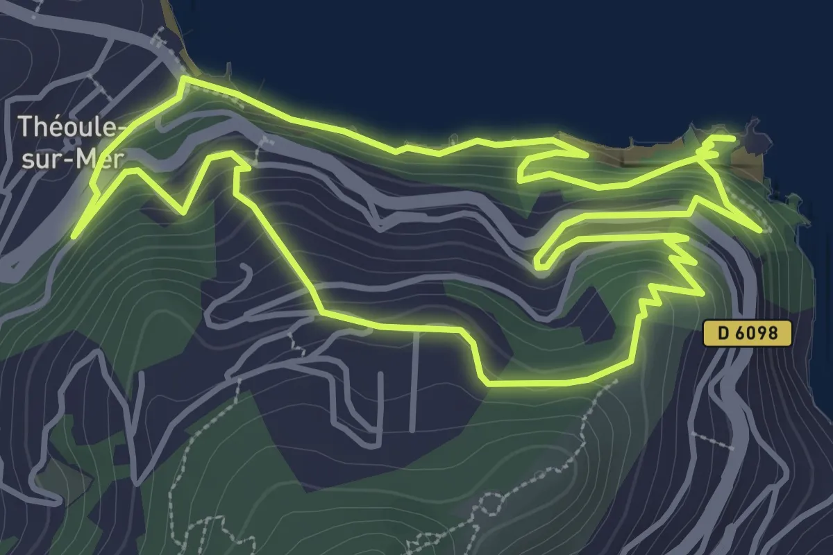
Easy · Trail
Circuit de l'Aiguille
4.2 km · ↑ 245 m · 1 h 35 min · 11 km away
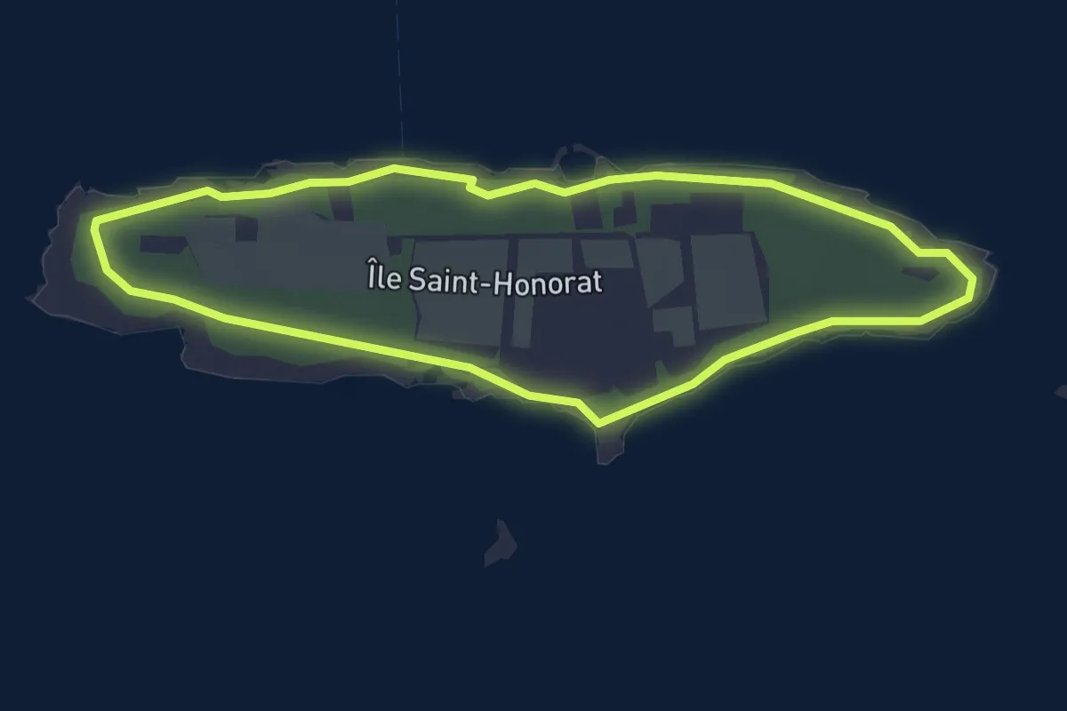
Easy · Trail
Île Saint-Honorat
3.0 km · ↑ 0 m · 45 min · 11 km away
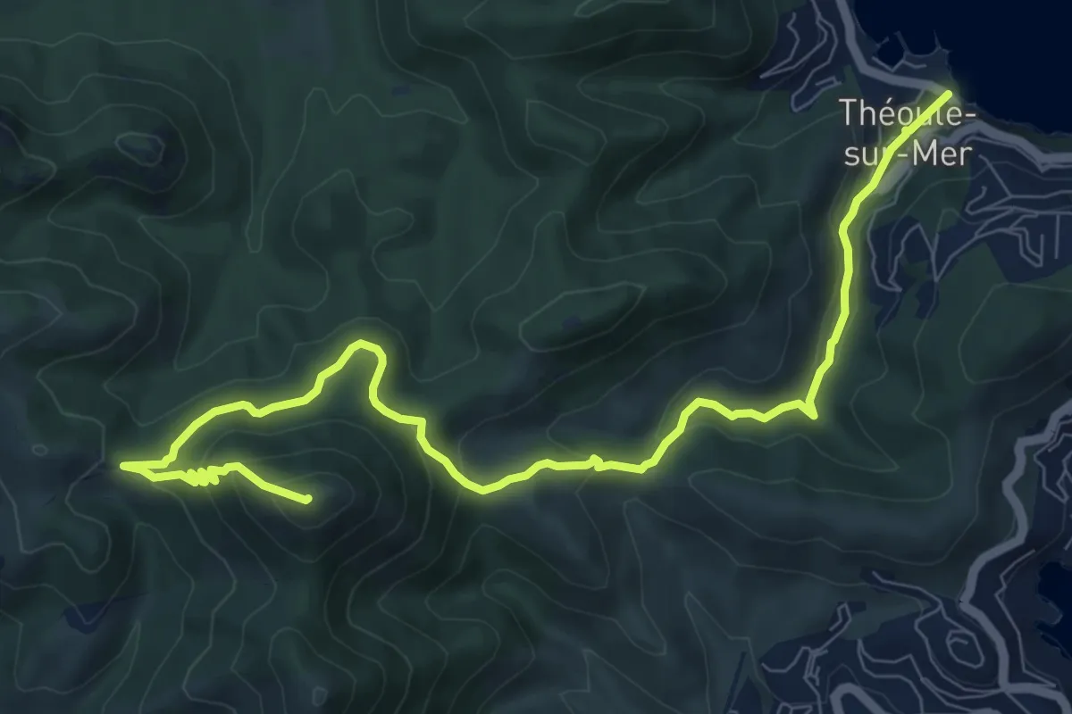
Demanding · Summit
Théoule – Col Notre-Dame
11.5 km · ↑ 527 m · 3 h 51 min · 11 km away
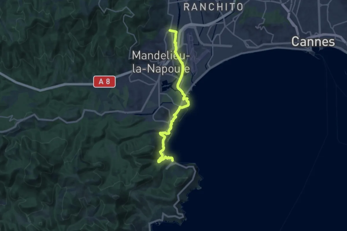
Medium · Trail
Mandelieu – Théoule
16.6 km · ↑ 214 m · 4 h 23 min · 11 km away
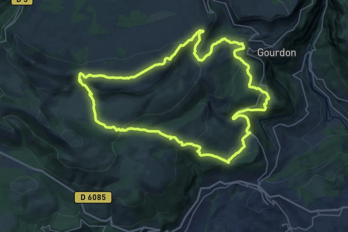
Demanding · Summit
Circuit de la Malle
22.4 km · ↑ 971 m · 7 h 41 min · 12 km away
Easy · Trail
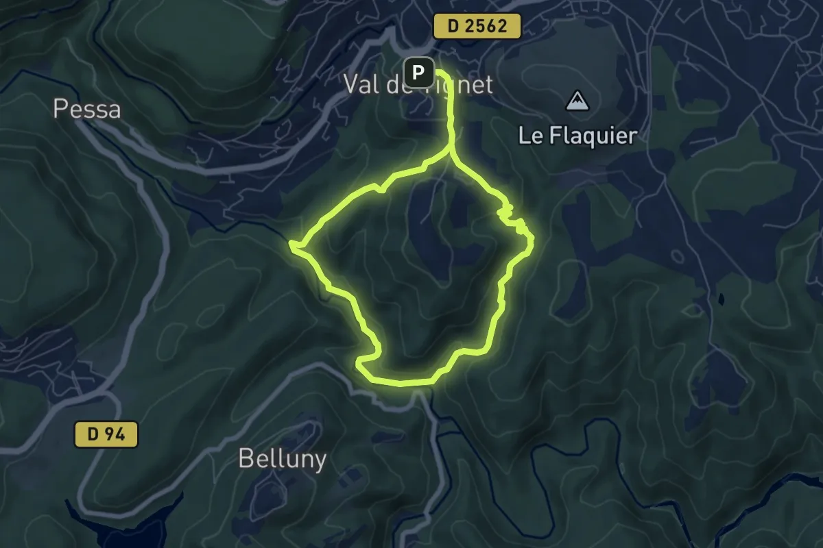
Val de Siagne
5.8 km · ↑ 190 m · 1 h 52 min · 13 km away
Easy · Summit
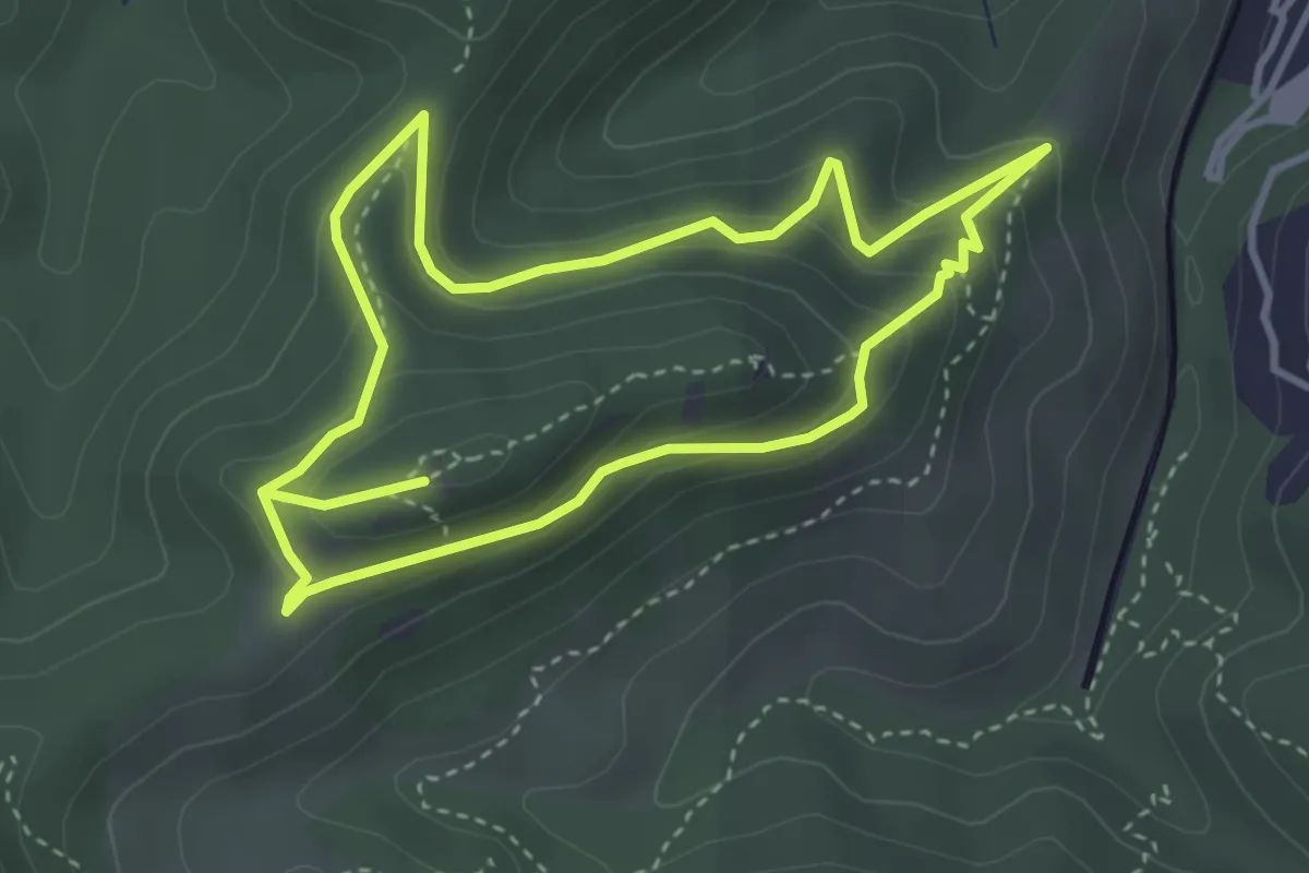
Rocher des Monges
3.6 km · ↑ 223 m · 1 h 23 min · 13 km away
Medium · Trail
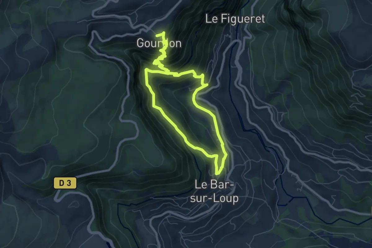
Circuit du Paradis
6.3 km · ↑ 598 m · 2 h 43 min · 13 km away
Easy · Trail
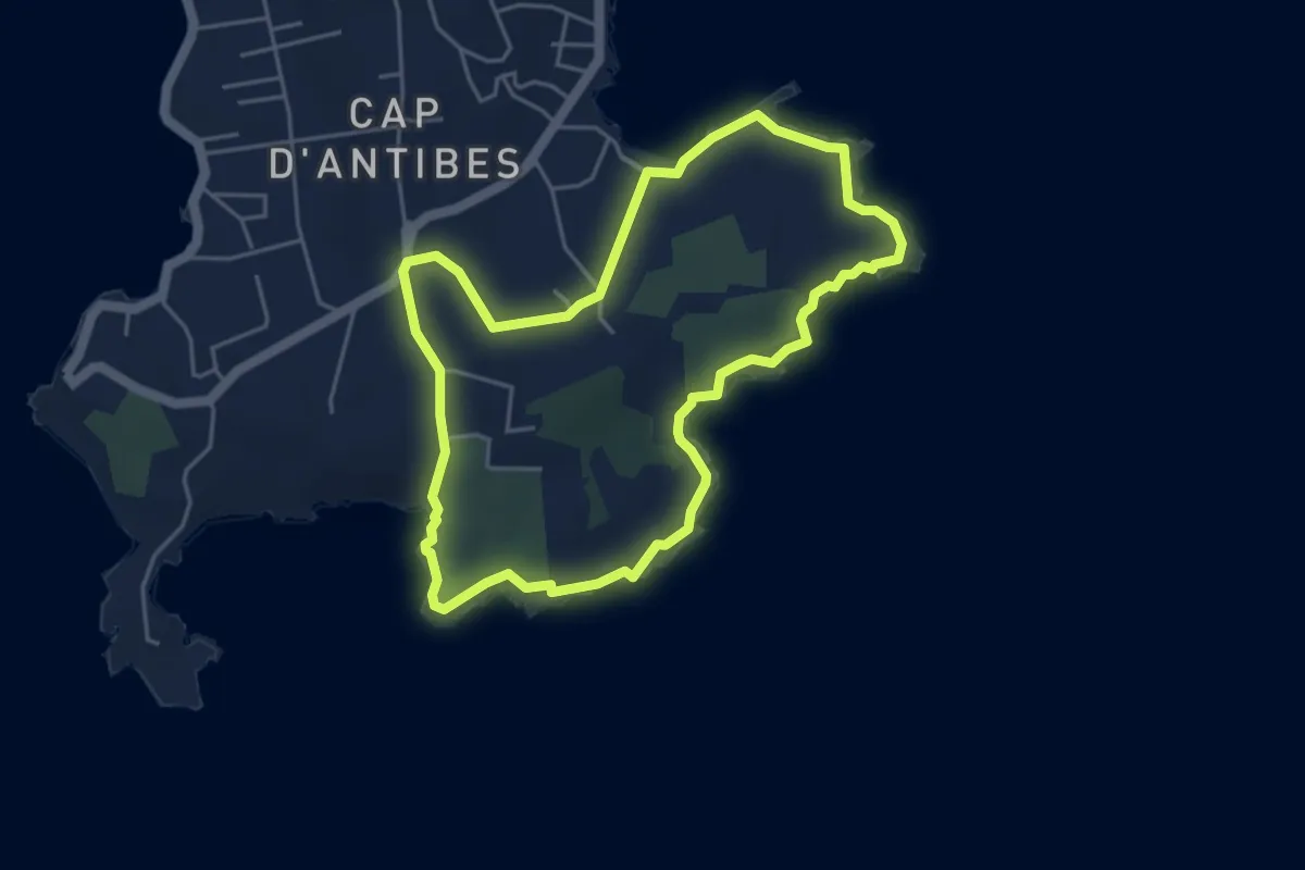
Tour du Cap d'Antibes
4.7 km · ↑ 60 m · 1 h 18 min · 13 km away
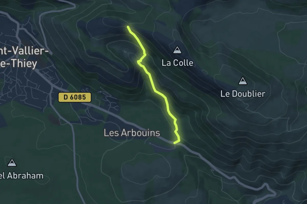
Medium · Trail
Castellaras de la Malle
5.1 km · ↑ 322 m · 1 h 54 min · 13 km away
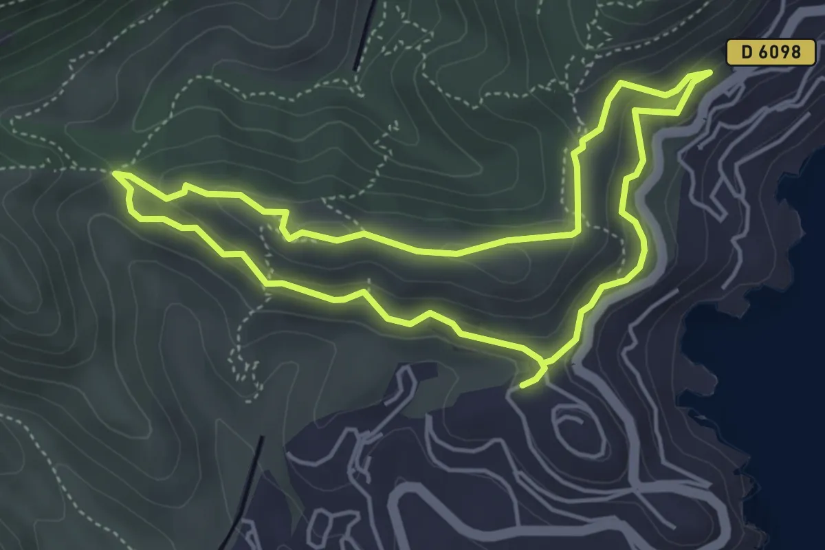
Easy · Trail
Circuit de l'Esquillon
4.5 km · ↑ 174 m · 1 h 31 min · 13 km away
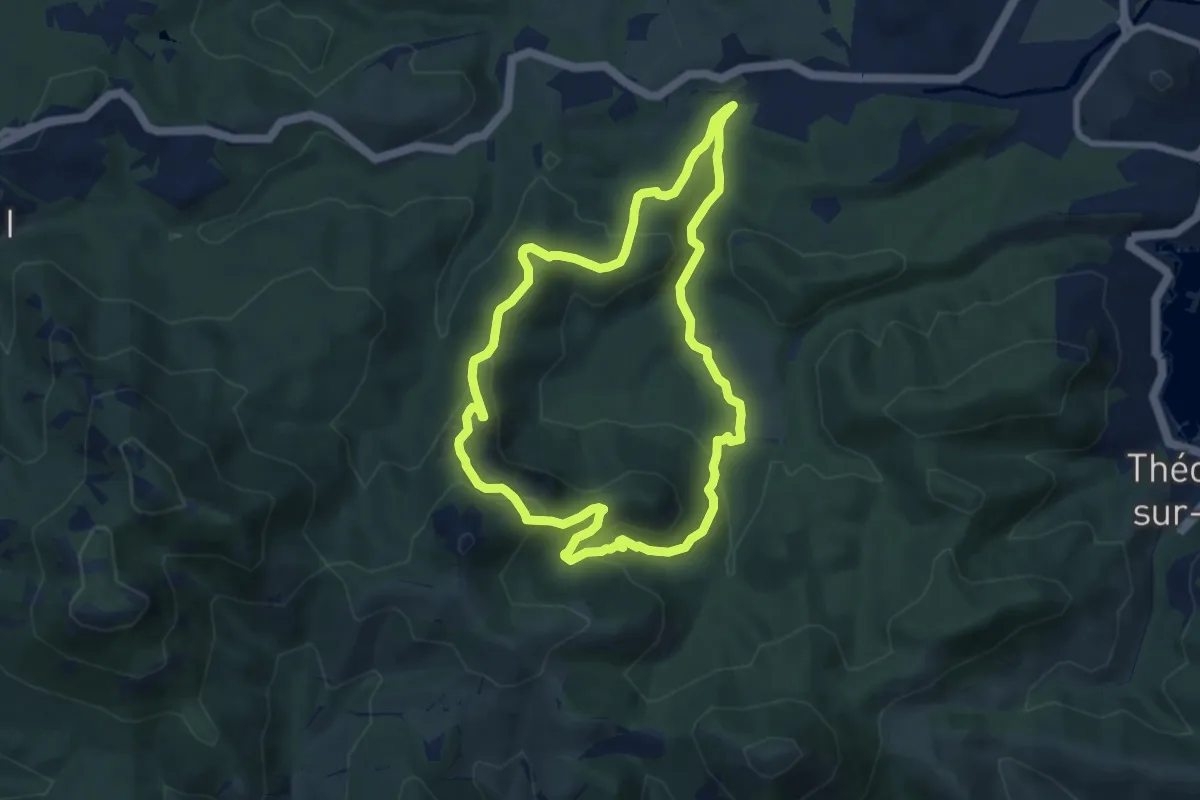
Medium · Trail
Mont Saint-Martin
7.7 km · ↑ 358 m · 2 h 42 min · 13 km away
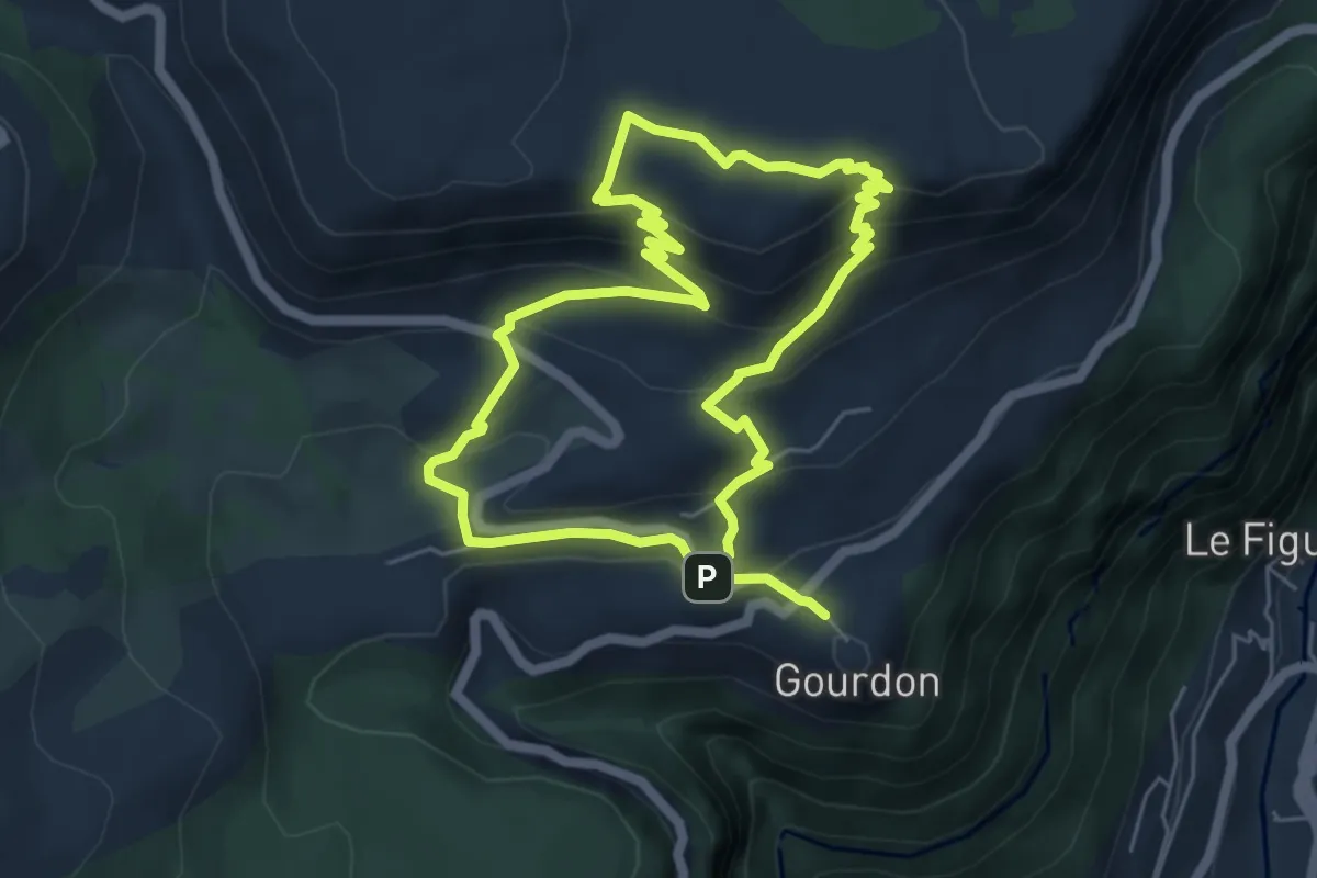
Easy · Summit
Plateau de Cavillore
5.5 km · ↑ 288 m · 2 h · 14 km away
Demanding · Trail
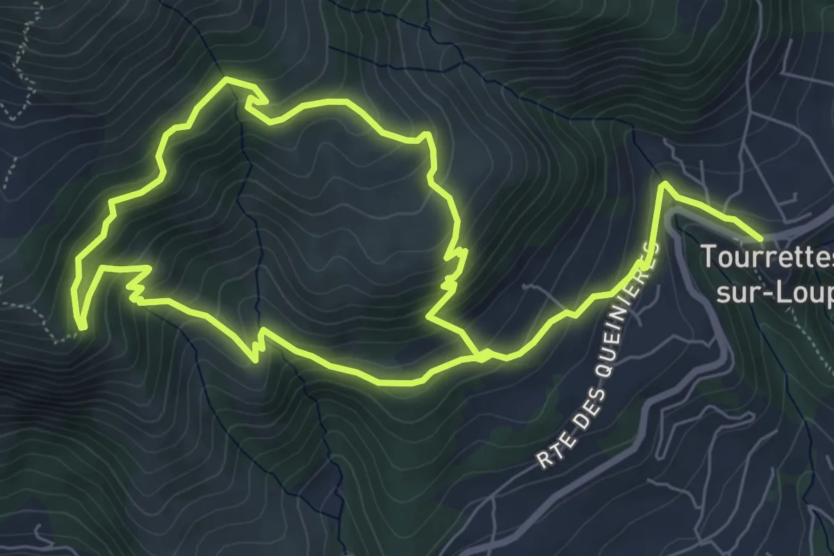
Circuit de Pié Martin
12.8 km · ↑ 818 m · 4 h 48 min · 14 km away
Demanding · Summit
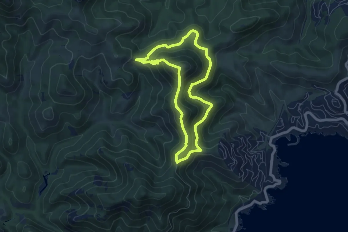
Crêtes des Grues
6.7 km · ↑ 377 m · 2 h 29 min · 14 km away