Trails near Mussidan
106 hikes starting within 15 km, nearest first.
Nearest first, page 2 of 3
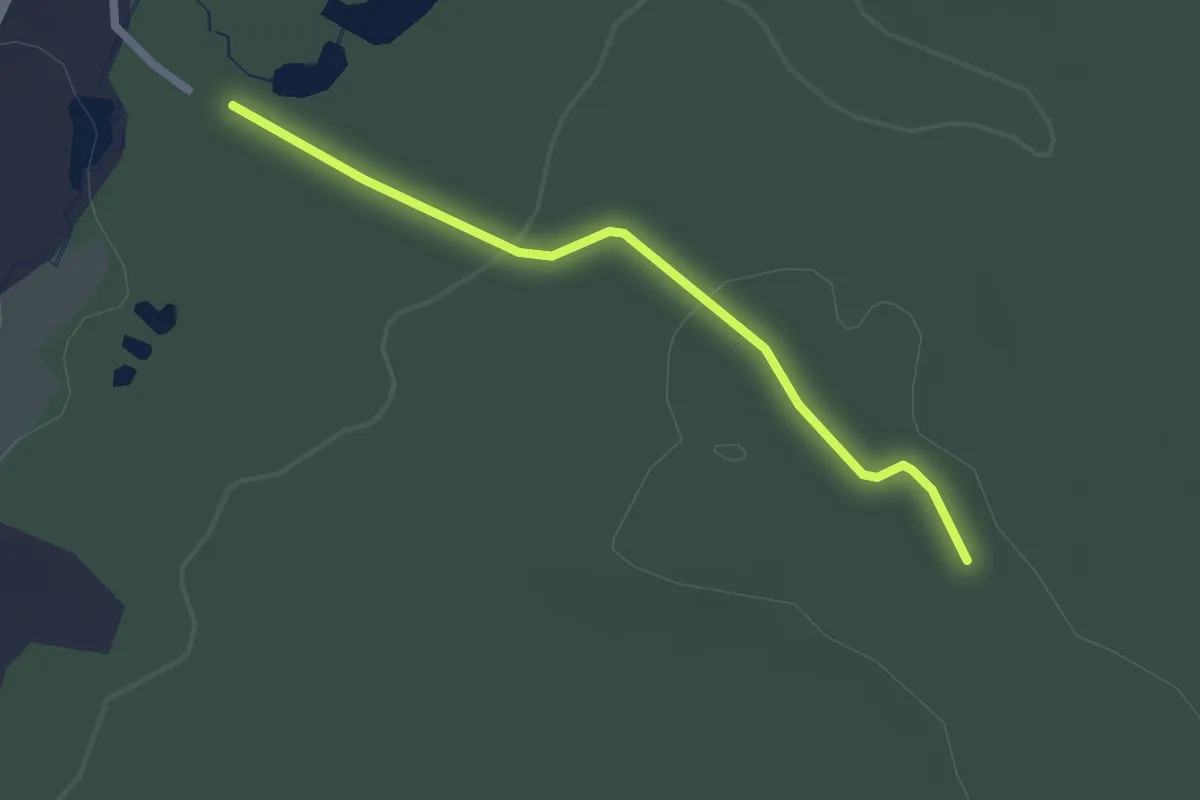
Easy · Trail
Liaison
2.2 km · ↑ 39 m · 36 min · 9 km away
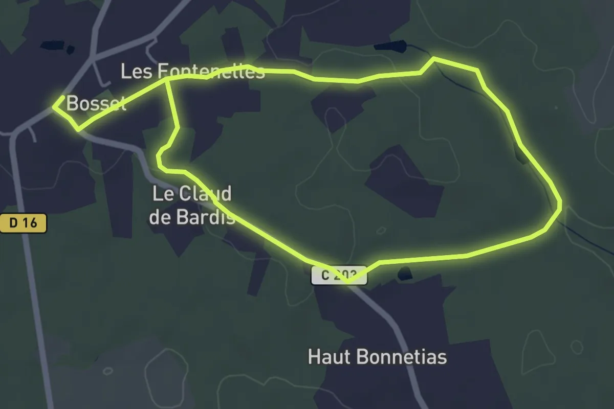
Medium · Trail
Boucle de Bosset
8.4 km · ↑ 56 m · 2 h 6 min · 10 km away
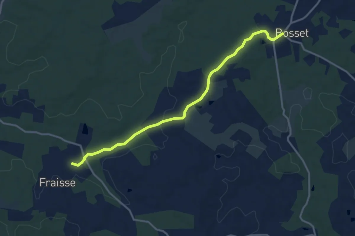
Medium · Trail
Liaison Bosset - Fraisse
9.0 km · ↑ 79 m · 2 h 17 min · 10 km away
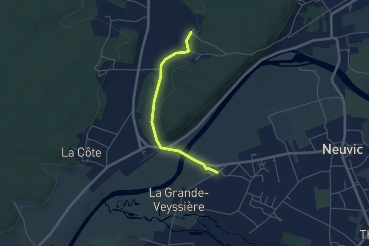
Easy · Trail
Liaison Neuvic - Saint-Germain-du-Salembre
3.9 km · ↑ 63 m · 1 h 3 min · 10 km away
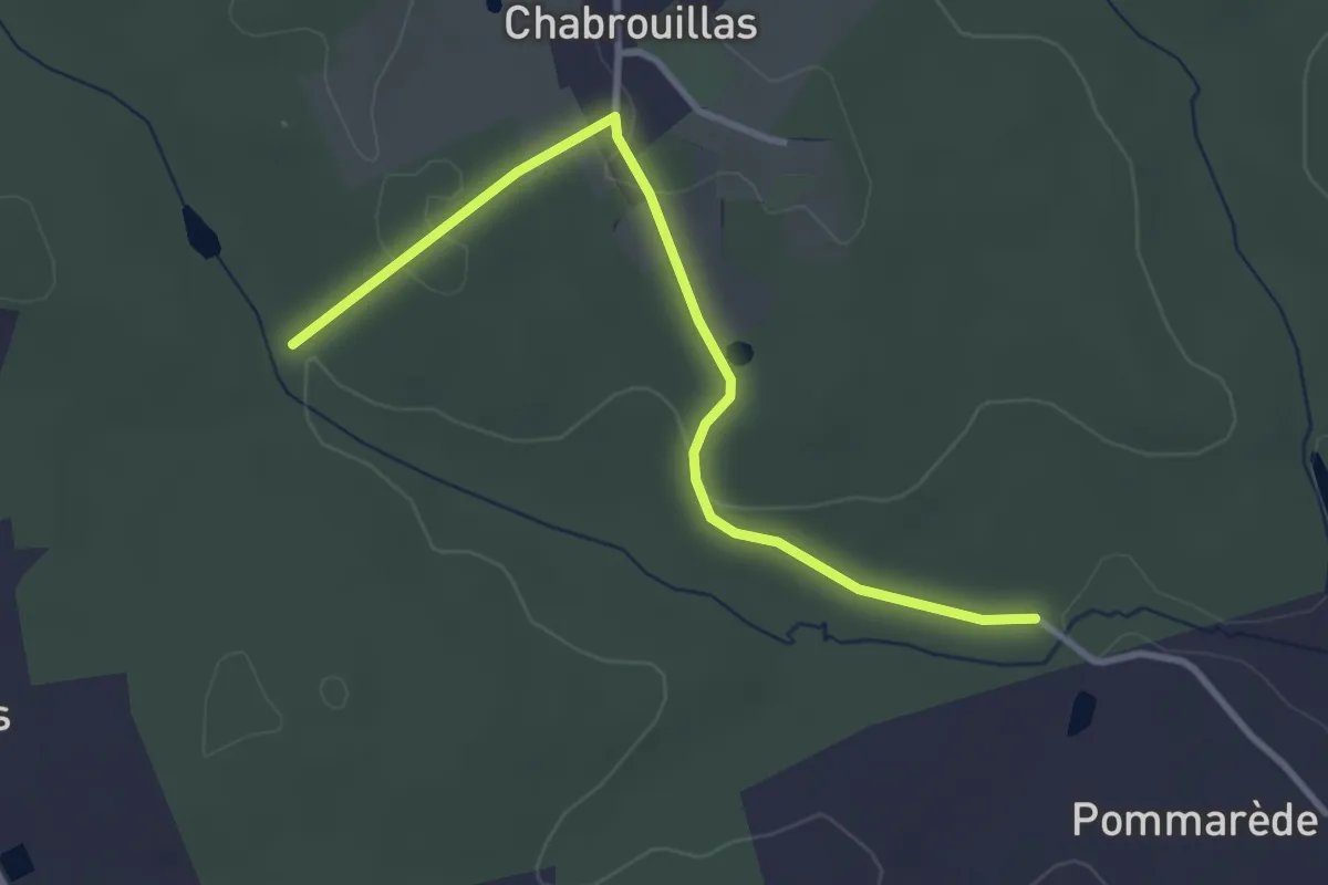
Easy · Trail
Liaison Bosset - Lunas
3.5 km · ↑ 55 m · 57 min · 10 km away
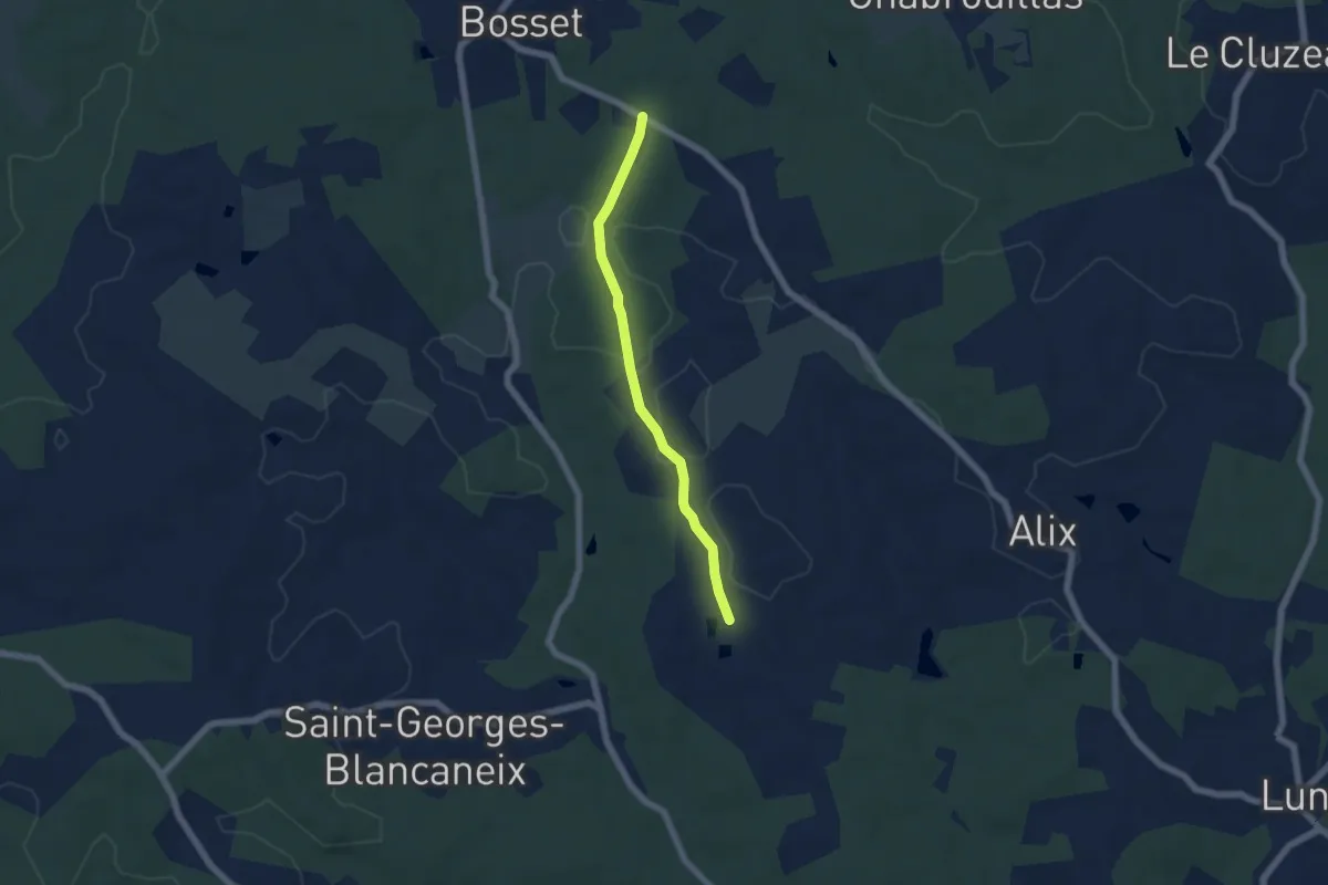
Easy · Trail
Liaison
5.2 km · ↑ 61 m · 1 h 22 min · 10 km away
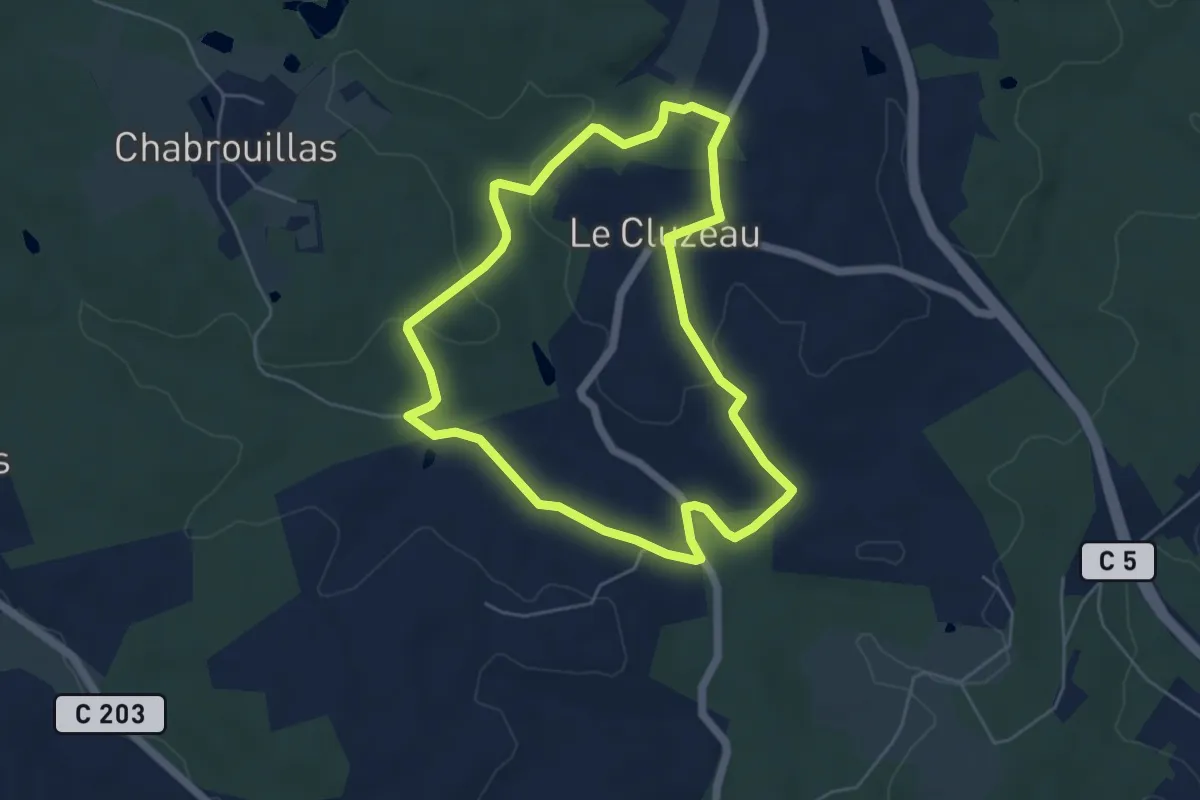
Easy · Trail
Boucle du Cluzeau
5.2 km · ↑ 86 m · 1 h 29 min · 10 km away
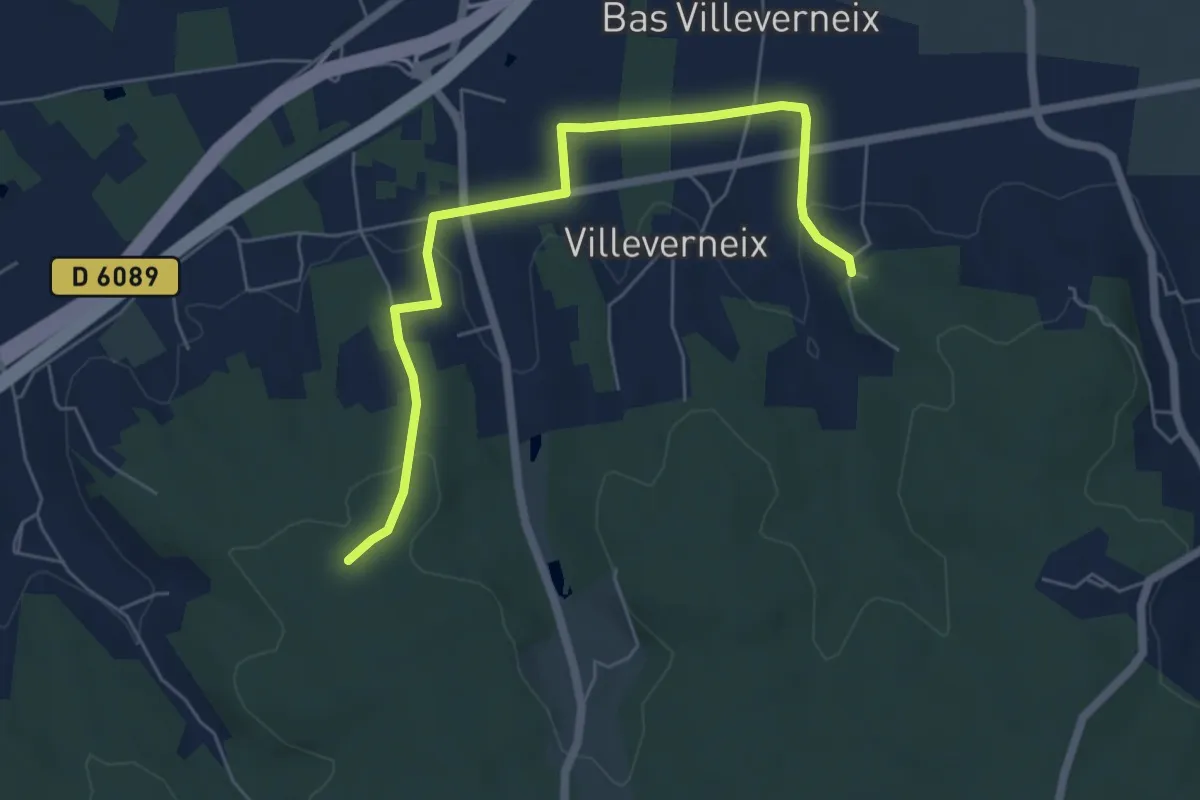
Easy · Trail
Liaison Frateau-Vallereuil-Neuvic
6.5 km · ↑ 130 m · 1 h 49 min · 10 km away
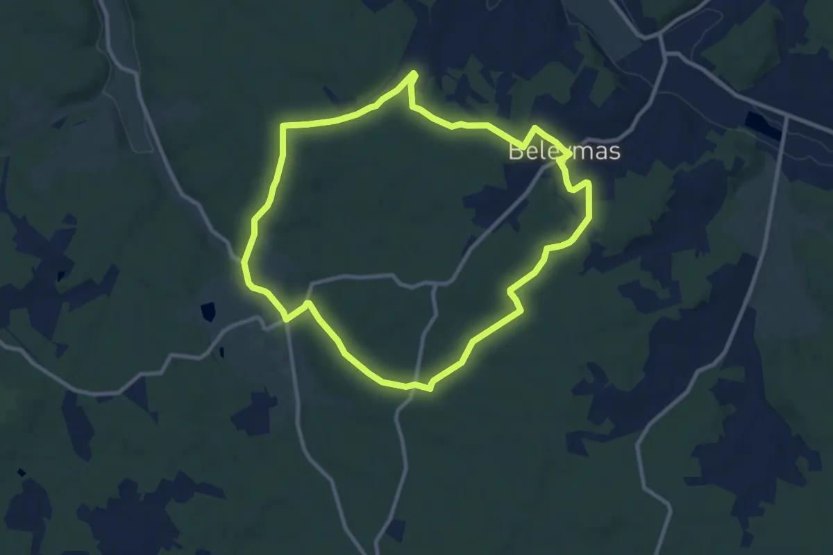
Medium · Trail
Boucle de Belisama
9.2 km · ↑ 135 m · 2 h 36 min · 11 km away
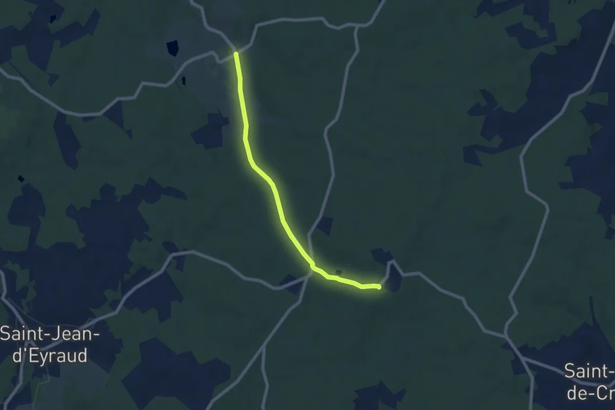
Easy · Trail
Liaison Beleymas - Maurens
6.1 km · ↑ 67 m · 1 h 35 min · 11 km away
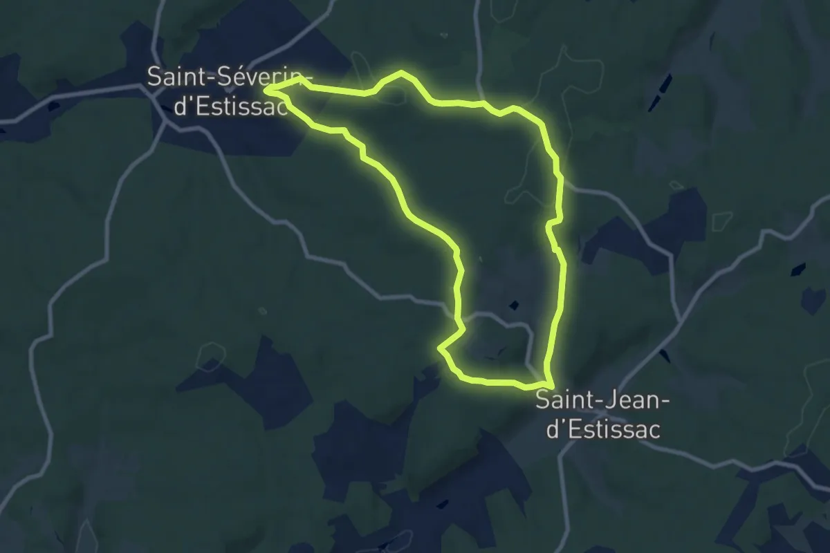
Medium · Trail
Boucle de Saint-Jean-d'Estissac
8.3 km · ↑ 133 m · 2 h 22 min · 11 km away
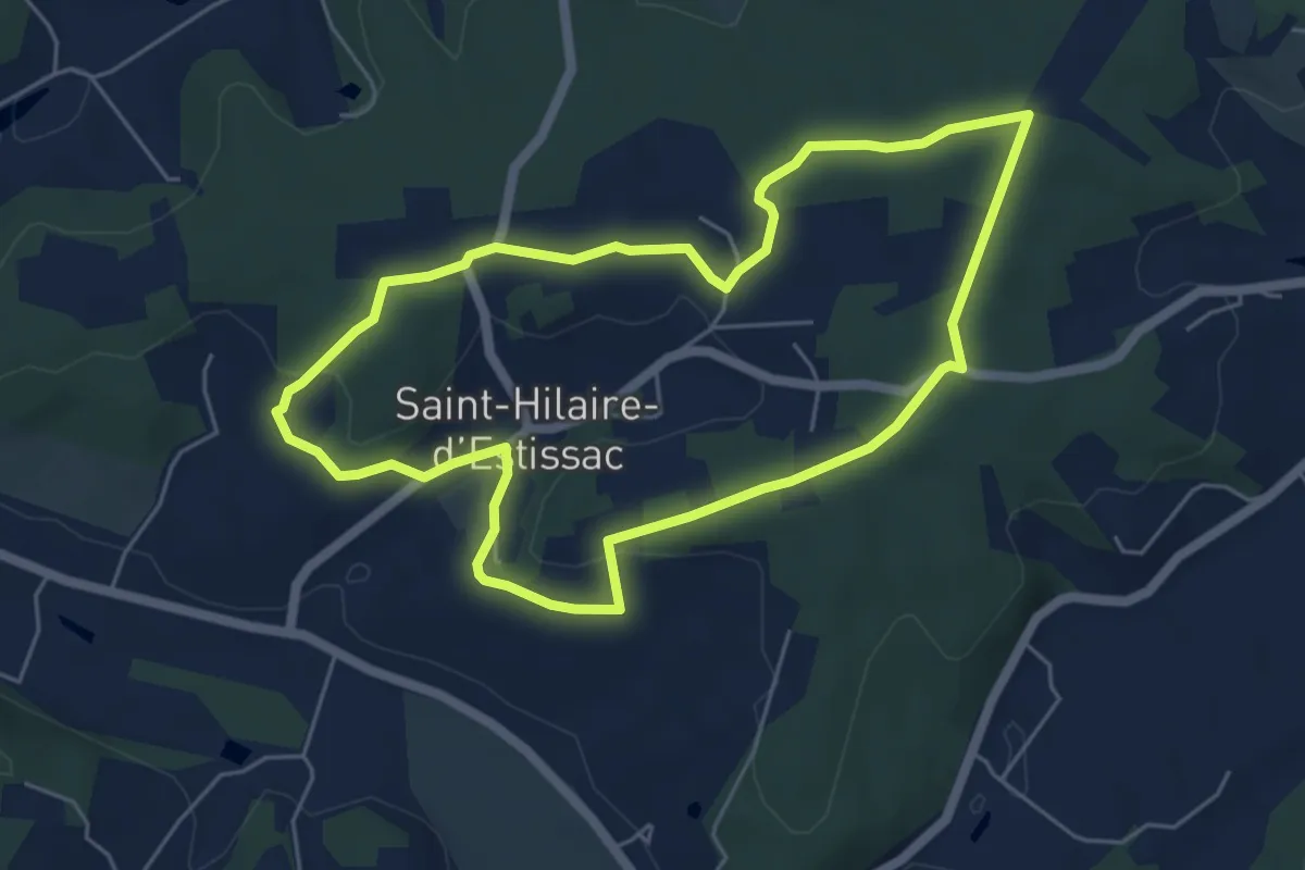
Easy · Trail
Boucle des Coteaux Crempsois
5.5 km · ↑ 84 m · 1 h 34 min · 11 km away
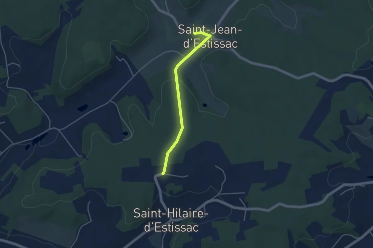
Easy · Trail
Liaison
3.3 km · ↑ 56 m · 54 min · 12 km away
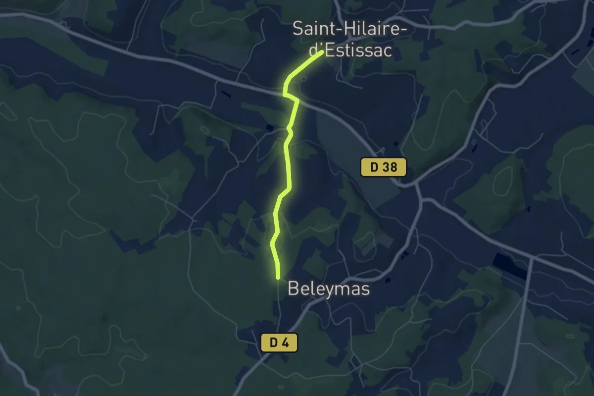
Easy · Trail
Liaison Beleymas-Saint-Hilaire-d'Estissac
4.6 km · ↑ 115 m · 1 h 21 min · 12 km away
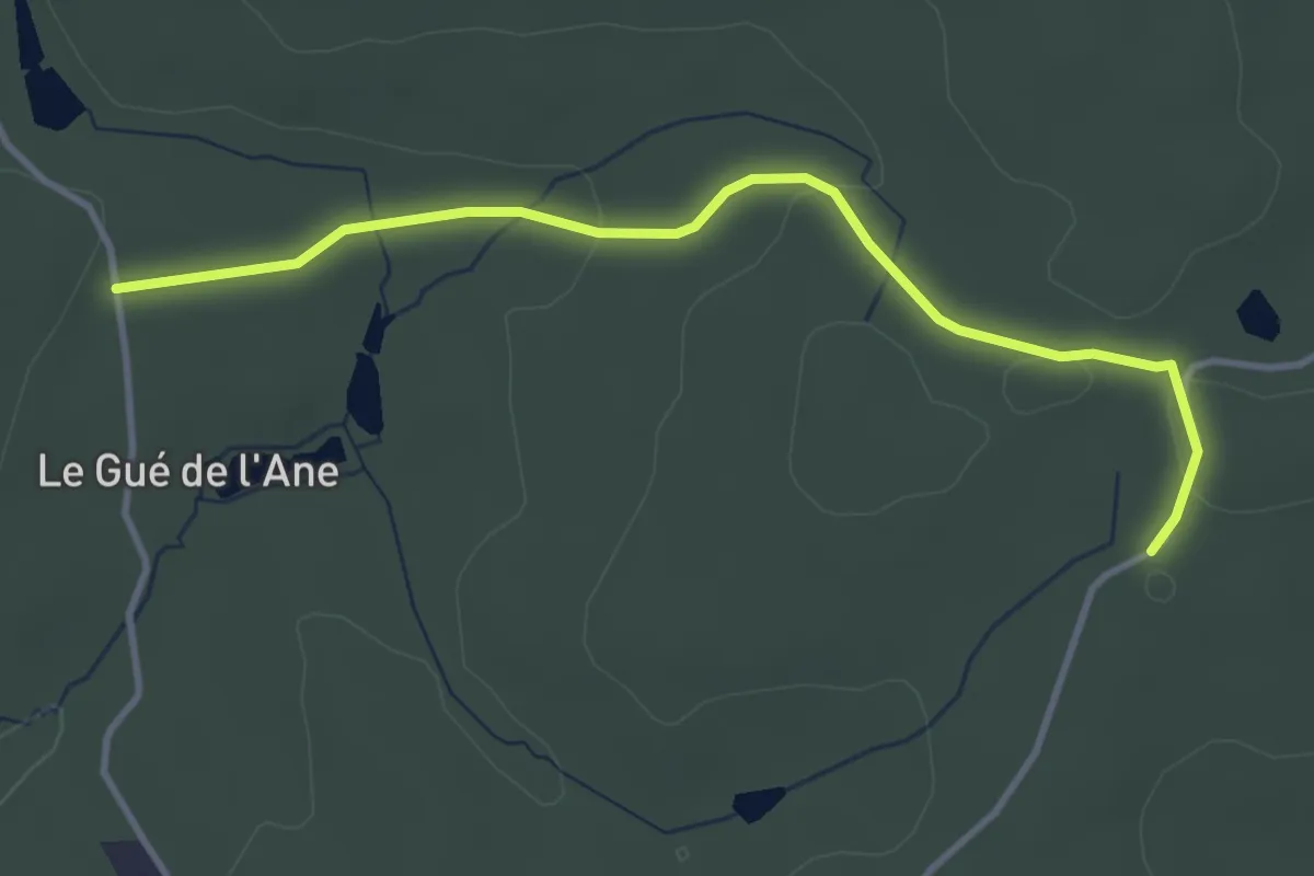
Easy · Trail
Liaison Saint-Germain-de-Salembre - Saint-Jean-d'Ataux
3.9 km · ↑ 48 m · 1 h 1 min · 12 km away
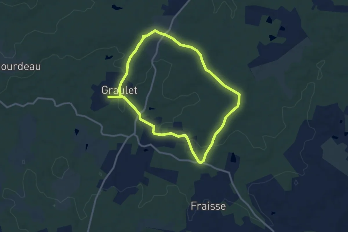
Medium · Trail
Boucle de la Lidoire
14.6 km · ↑ 163 m · 3 h 47 min · 12 km away
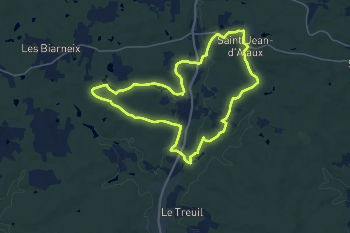
Medium · Trail
Rando d'Ataux
12.8 km · ↑ 137 m · 3 h 30 min · 12 km away
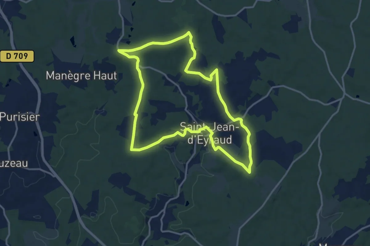
Medium · Trail
Boucle de l'Eyraud
10.8 km · ↑ 157 m · 3 h 2 min · 12 km away
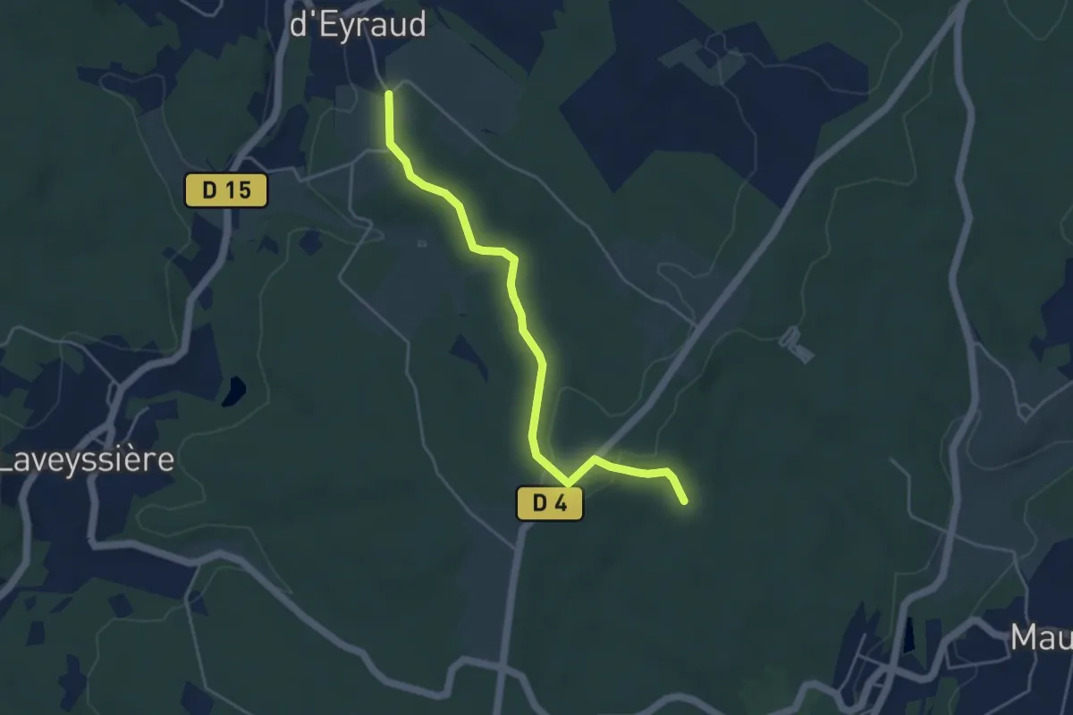
Easy · Trail
Liaison St-Jean-d'Eyraud - Maurens
4.4 km · ↑ 82 m · 1 h 14 min · 12 km away
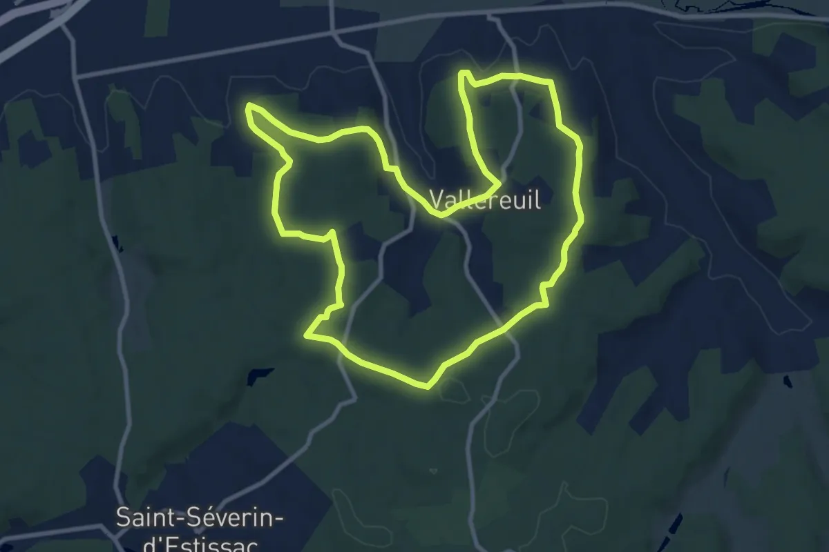
Medium · Trail
Boucle de Valareilh
9.6 km · ↑ 201 m · 2 h 51 min · 12 km away
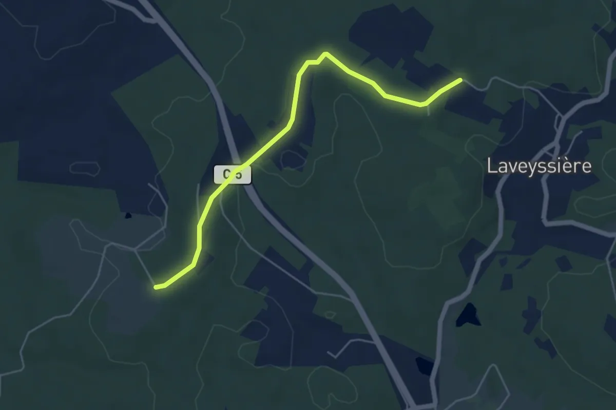
Easy · Trail
Liaison Laveyssière - Saint-Jean-d-'Eyraud - Lunas
5.0 km · ↑ 49 m · 1 h 17 min · 12 km away
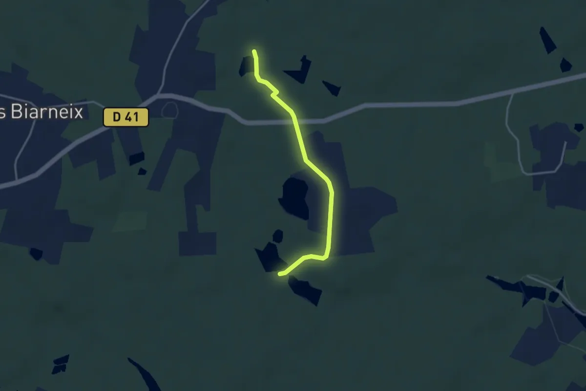
Easy · Trail
Liaison St-Vincent-de-Connezac - St-Jean-d'Ataux
2.9 km · ↑ 16 m · 44 min · 12 km away
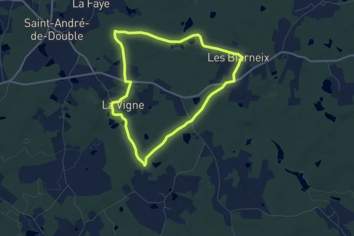
Easy · Trail
Boucle des étangs
7.0 km · ↑ 58 m · 1 h 52 min · 12 km away
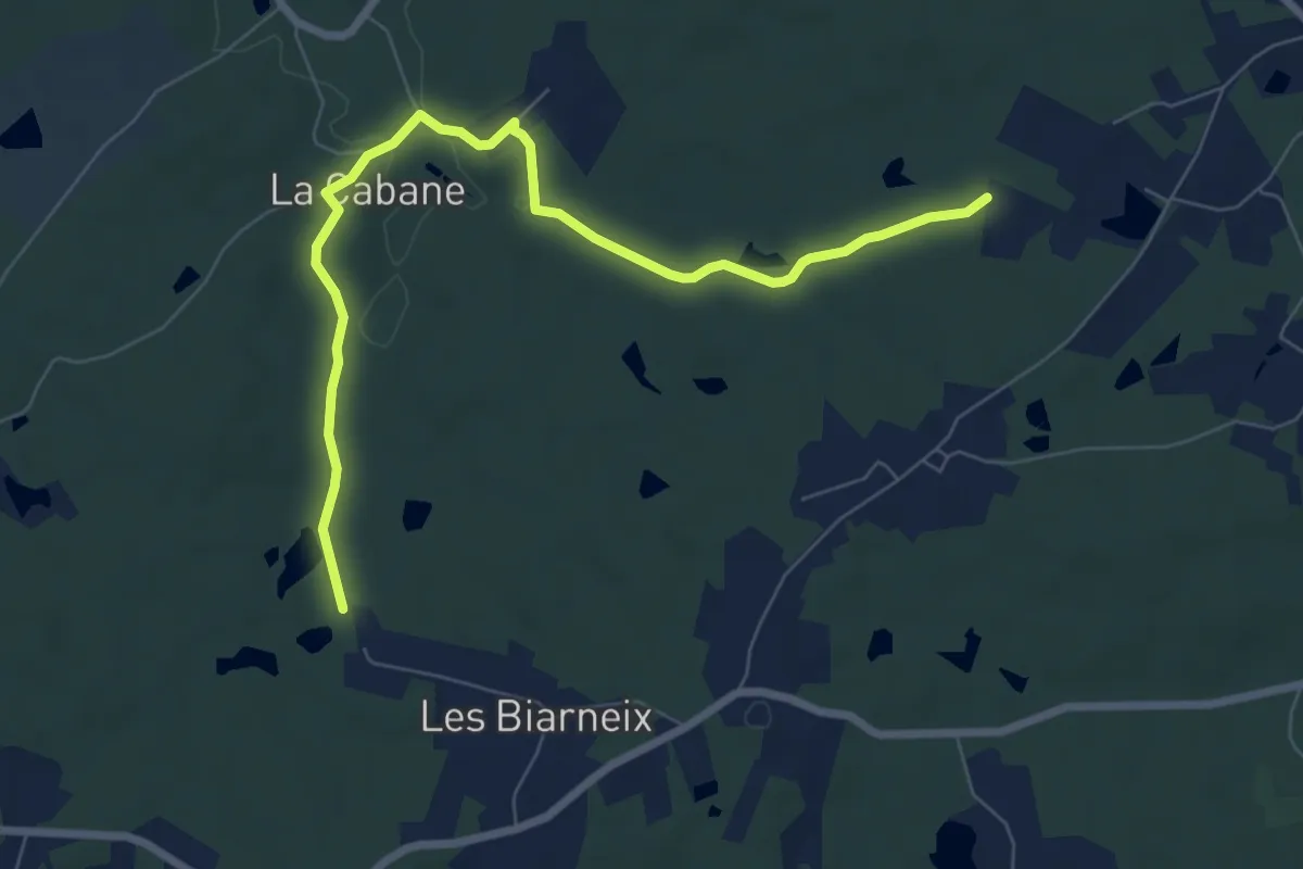
Medium · Trail
Liaison St-Vincent-de-Connezac - St-André-de-Double
8.2 km · ↑ 108 m · 2 h 10 min · 12 km away
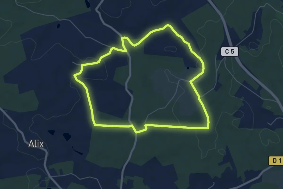
Easy · Trail
Boucle de Peypensou
5.9 km · ↑ 116 m · 1 h 43 min · 12 km away
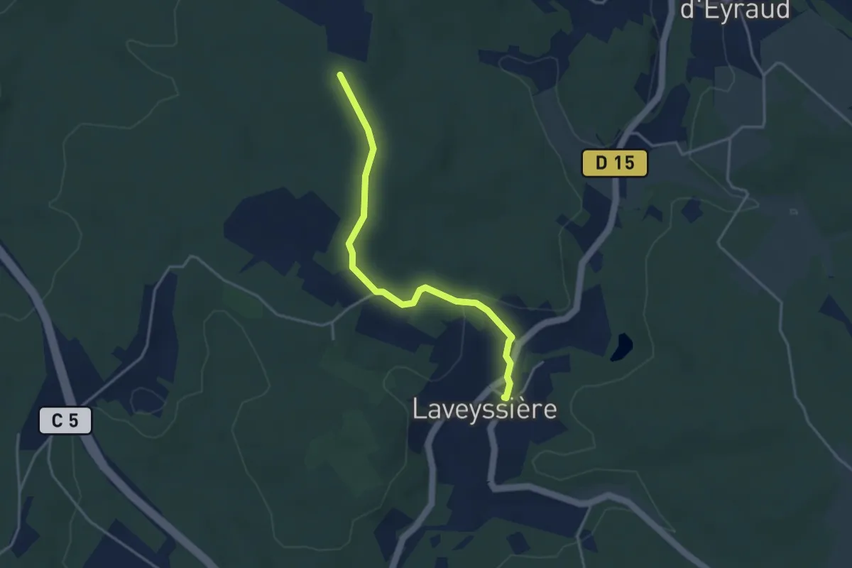
Easy · Trail
Liaison Laveyssière - Saint-Jean-d-'Eyraud - Lunas
3.6 km · ↑ 82 m · 1 h 2 min · 12 km away
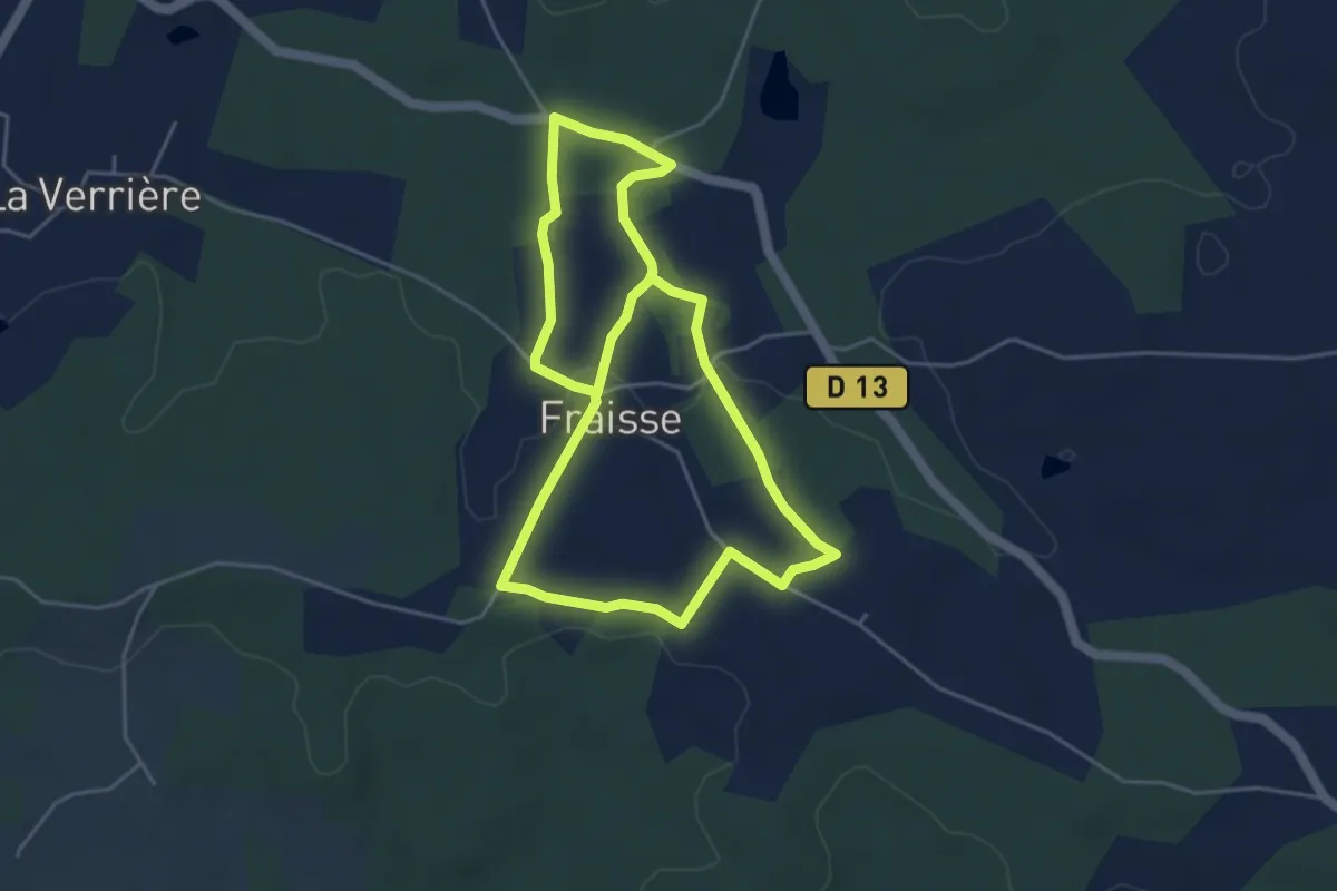
Medium · Trail
Tour du Village
9.0 km · ↑ 67 m · 2 h 16 min · 12 km away
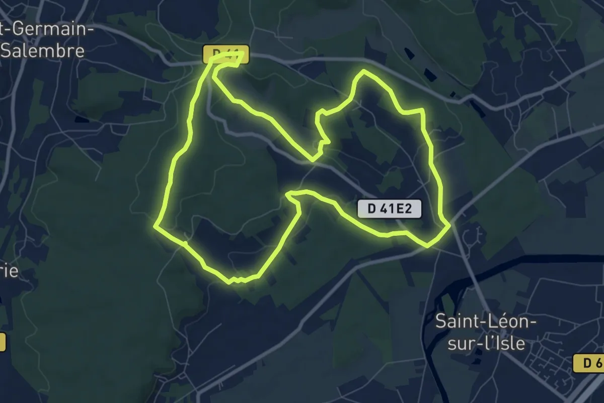
Medium · Trail
Boucle des Coteaux Nord
9.3 km · ↑ 146 m · 2 h 39 min · 13 km away
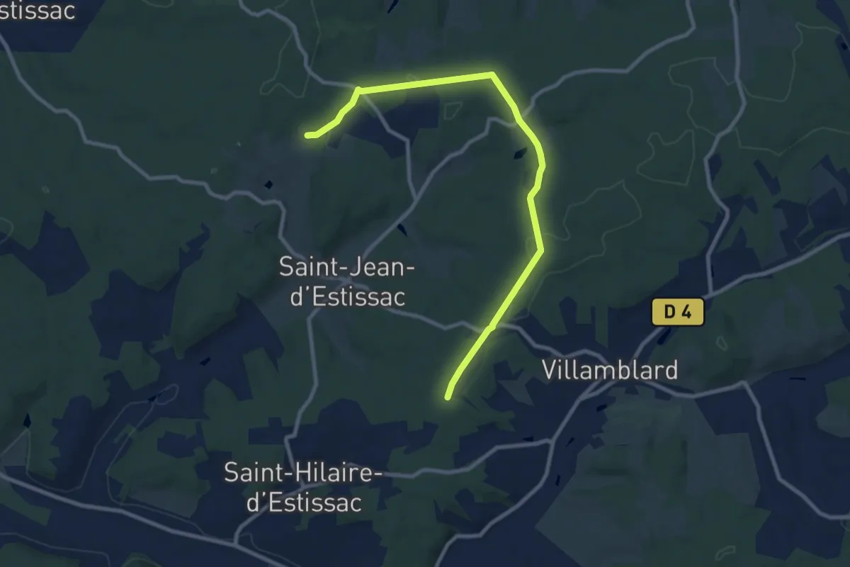
Medium · Trail
Liaison Villamblard-St-Jean-d'Estissac-St-Hilaire-d'Estissac
9.8 km · ↑ 153 m · 2 h 39 min · 13 km away
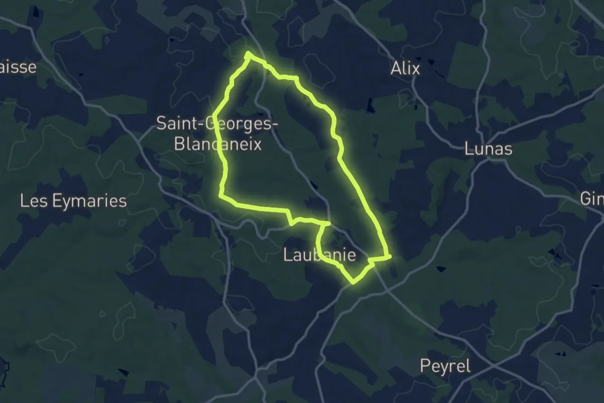
Medium · Trail
Boucle de Saint-Georges-Blancaneix
10.9 km · ↑ 154 m · 3 h 3 min · 13 km away
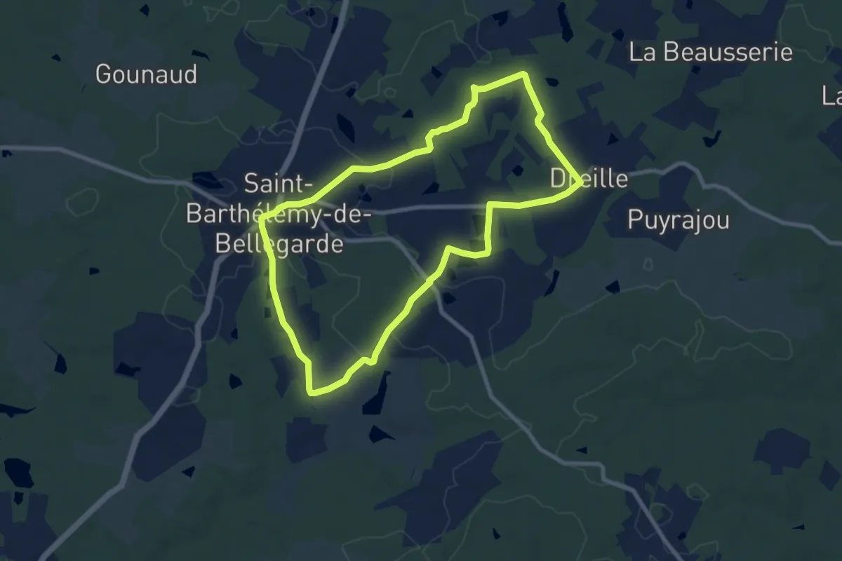
Medium · Trail
Boucle des étangs du Jard
8.0 km · ↑ 99 m · 2 h 13 min · 13 km away
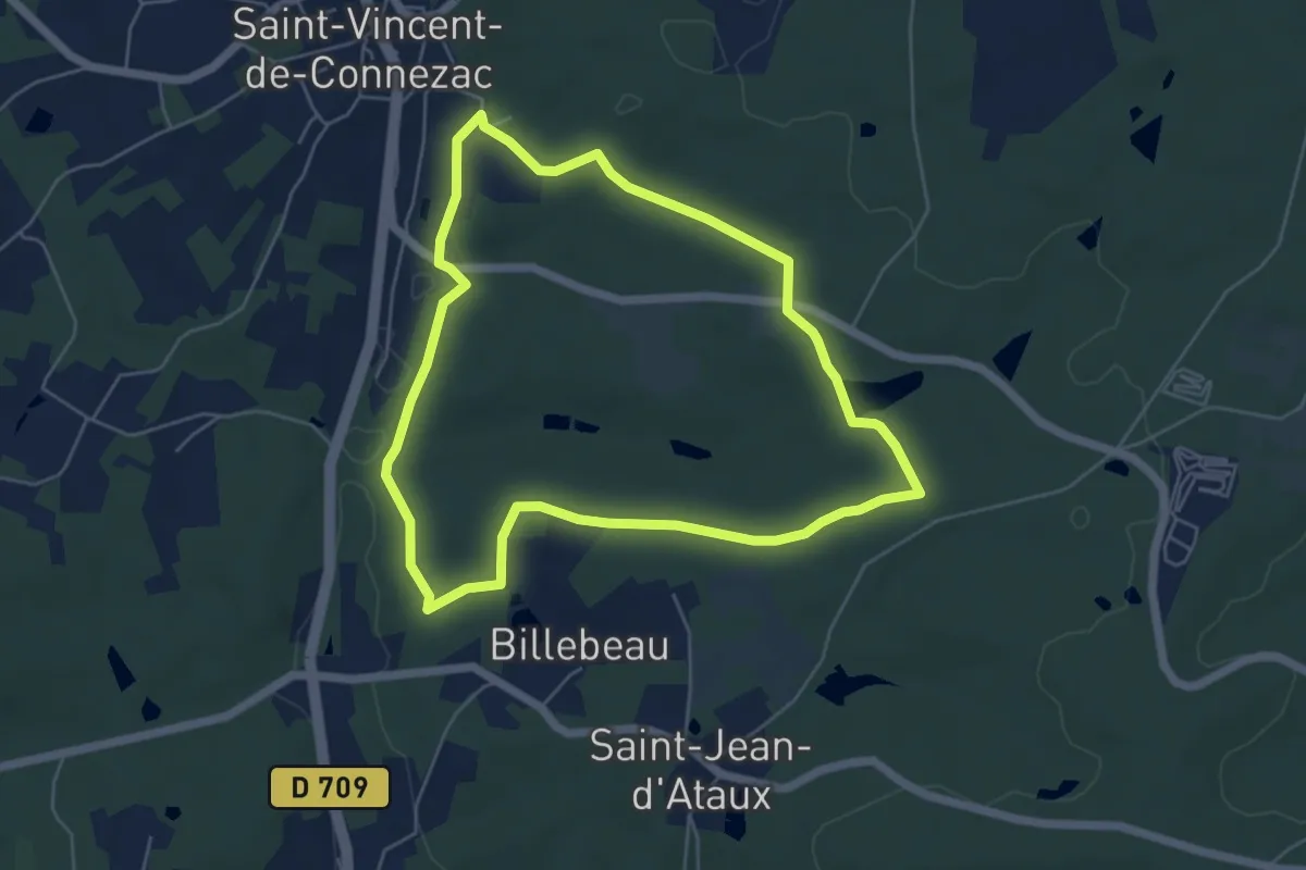
Easy · Trail
Boucle Moulin de la Grave
5.4 km · ↑ 80 m · 1 h 32 min · 13 km away
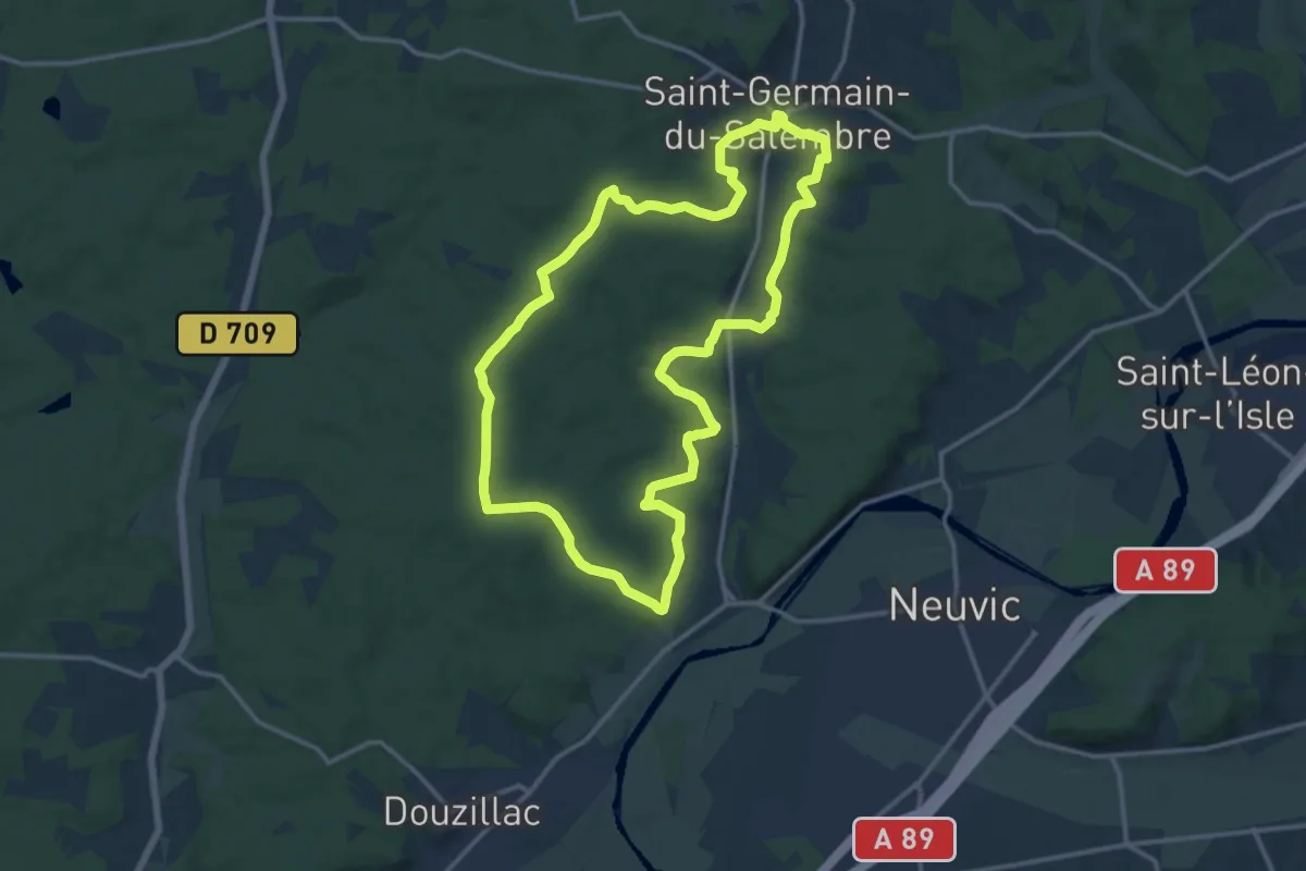
Medium · Trail
Balade de la Fontaine
14.3 km · ↑ 249 m · 4 h 7 min · 13 km away
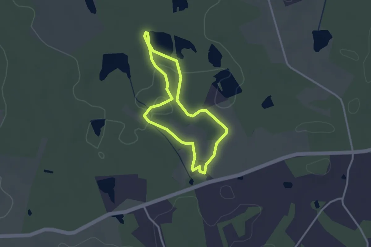
Easy · Trail
Sentier de découverte de la ferme du Parcot
2.3 km · ↑ 20 m · 38 min · 13 km away
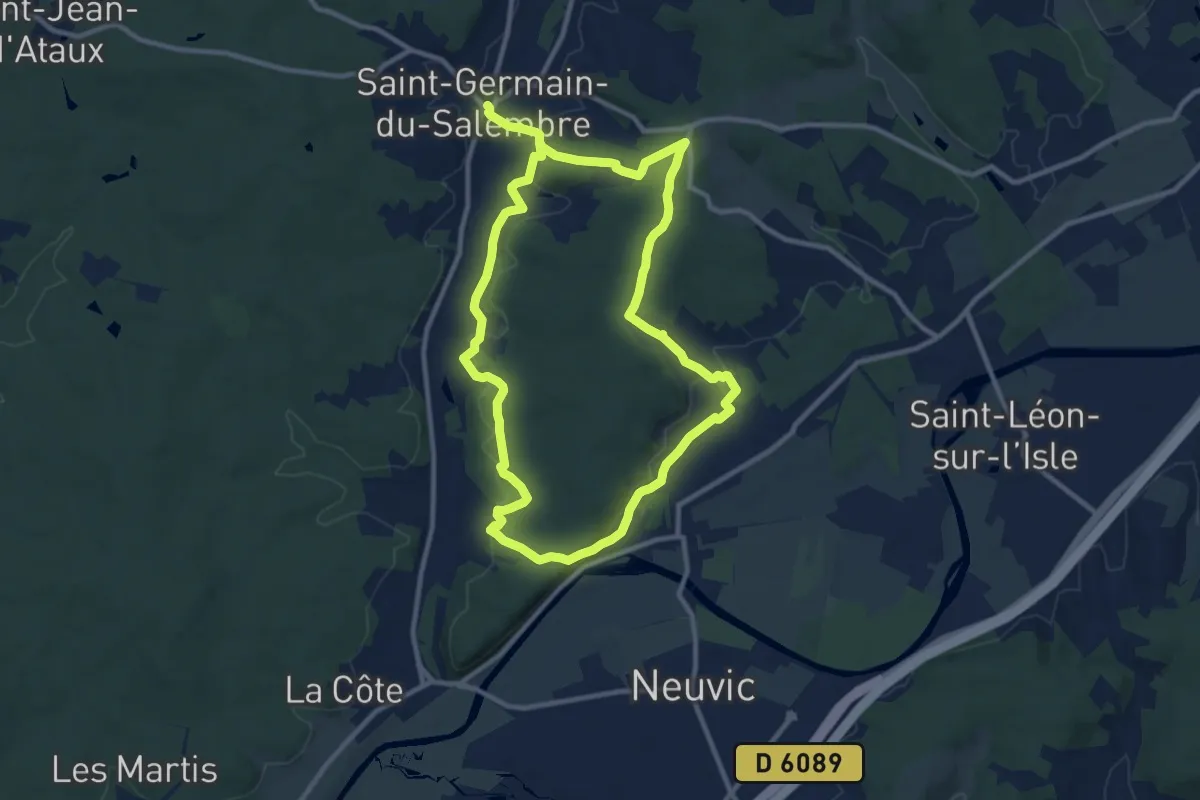
Demanding · Trail
Boucle de Mazille
20.7 km · ↑ 420 m · 5 h 47 min · 13 km away
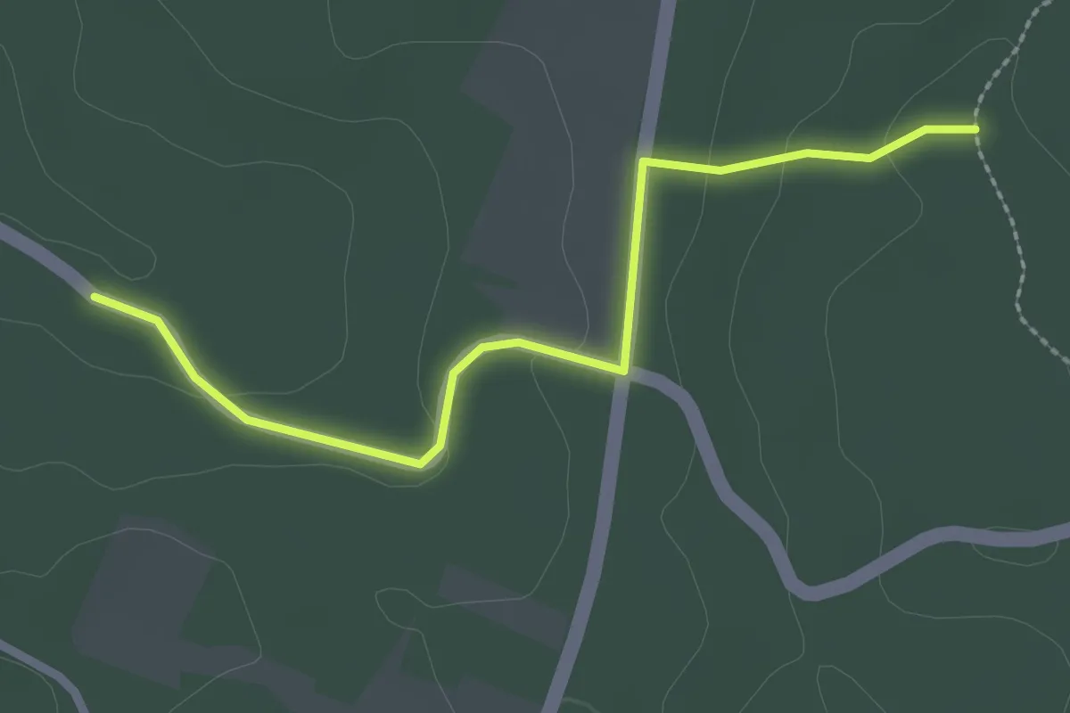
Easy · Trail
Liaison Laveyssière - Maurens
2.6 km · ↑ 48 m · 43 min · 13 km away
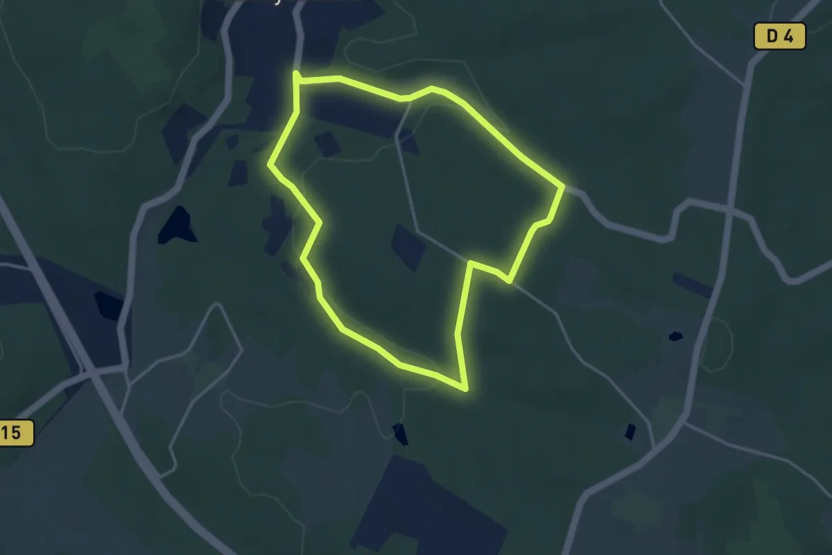
Easy · Trail
Boucle des Viradis
3.4 km · ↑ 63 m · 1 h · 13 km away
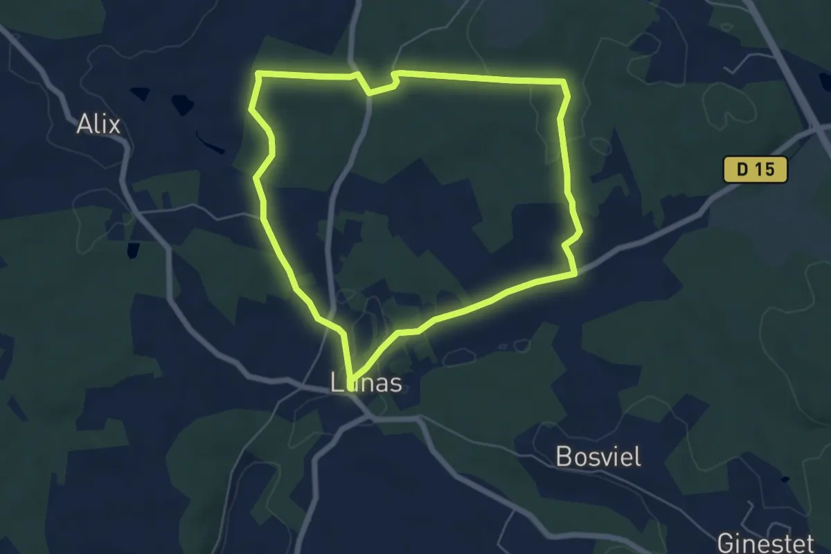
Easy · Trail
Boucle de Biorne
5.6 km · ↑ 97 m · 1 h 37 min · 14 km away
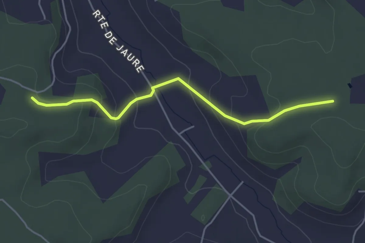
Easy · Trail
Liaison
4.0 km · ↑ 152 m · 1 h 17 min · 14 km away
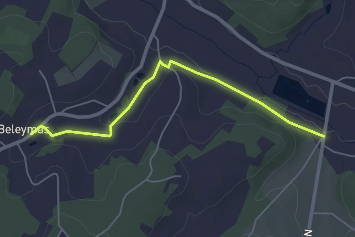
Easy · Trail
Liaison Beleymas - Montagnac-la-Crempse - Villamblard
4.3 km · ↑ 34 m · 1 h 5 min · 14 km away
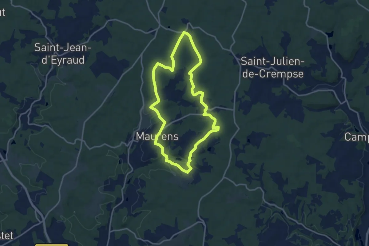
Medium · Summit
Boucle du Massif de Lagudal
11.0 km · ↑ 199 m · 3 h 10 min · 14 km away
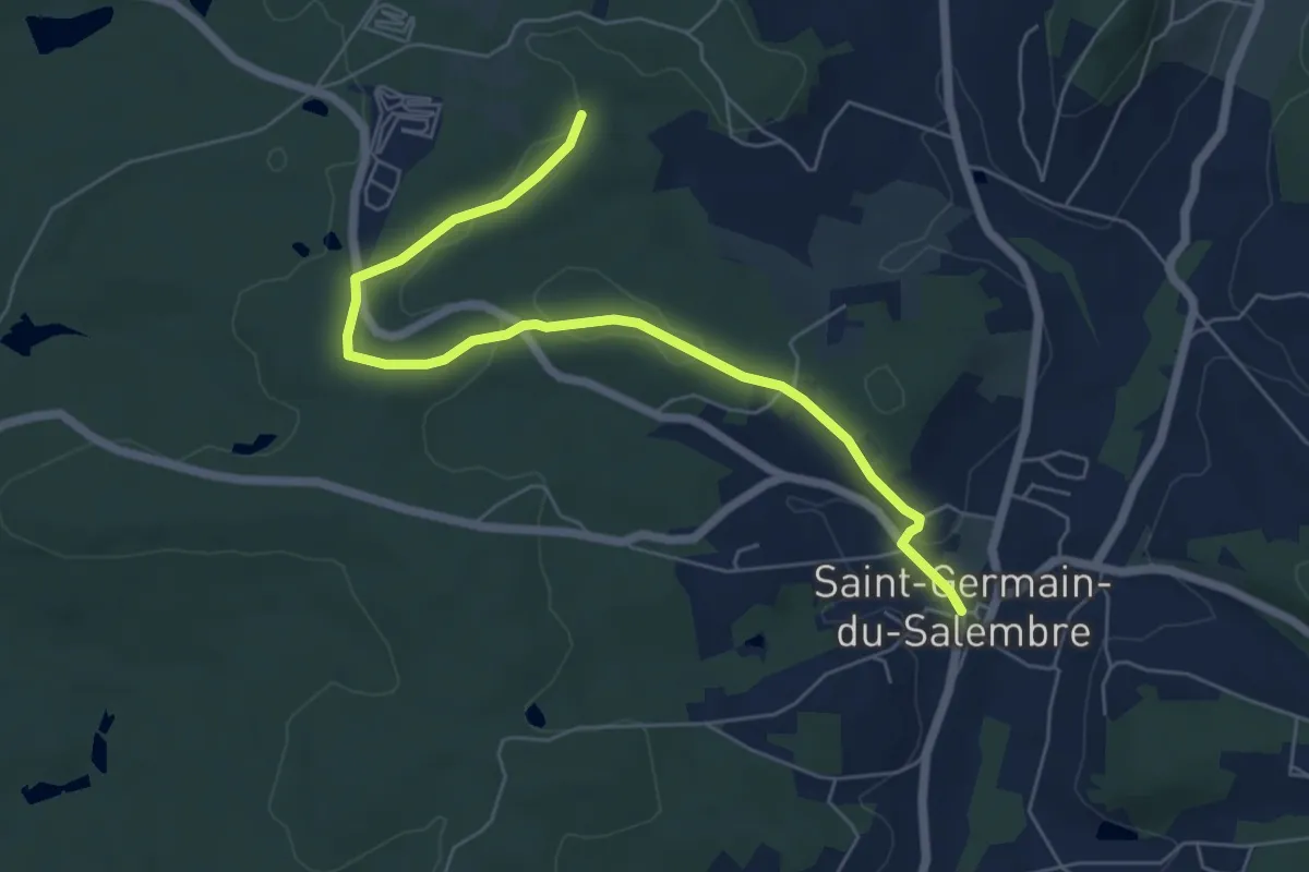
Easy · Trail
Liaison Saint-Germain-de-Salembre - Chantérac
6.7 km · ↑ 105 m · 1 h 48 min · 14 km away
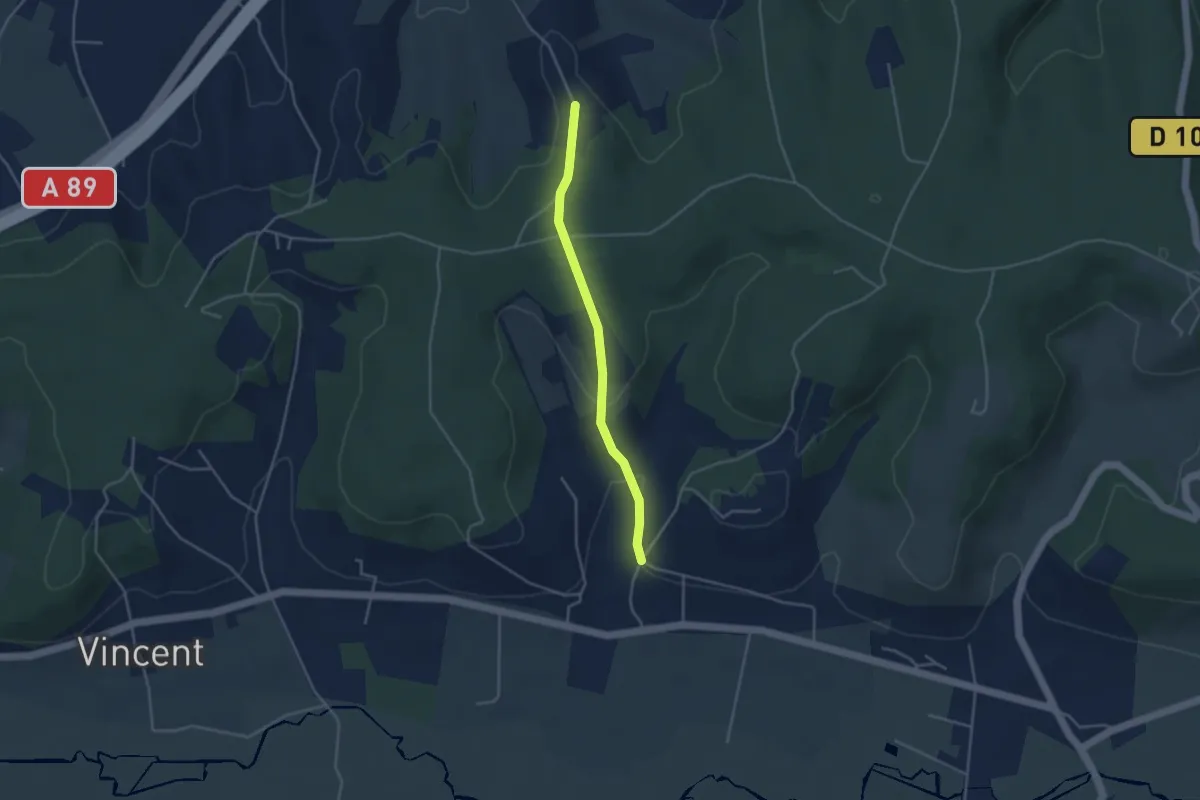
Easy · Trail
Liaison Grignols - St-Léon-sur-l'Isle
3.6 km · ↑ 112 m · 1 h 5 min · 14 km away
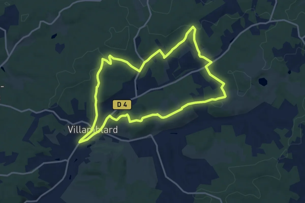
Medium · Trail
Boucle des crètes
9.7 km · ↑ 190 m · 2 h 50 min · 14 km away
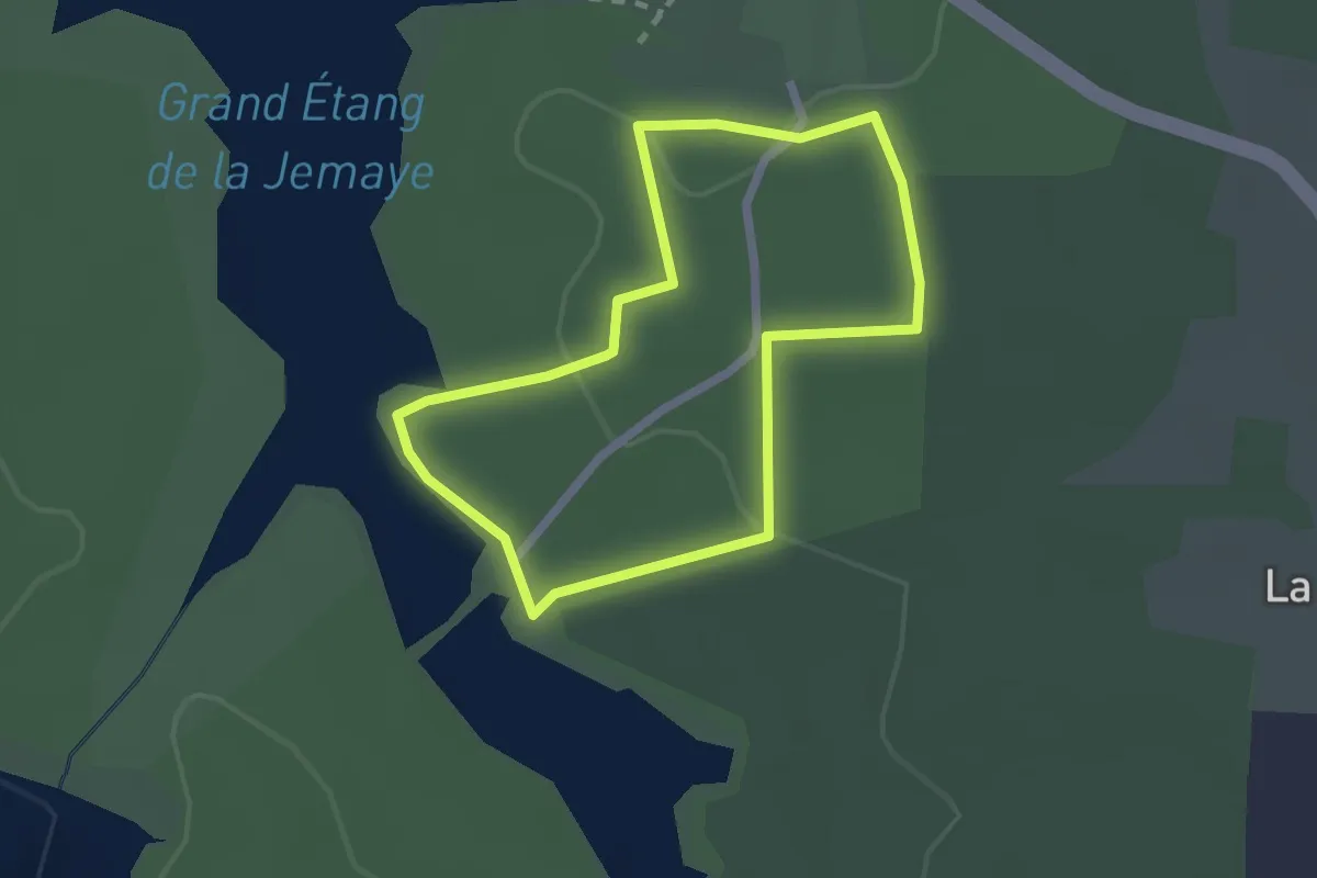
Easy · Trail
Sentier découverte
2.0 km · ↑ 30 m · 33 min · 14 km away
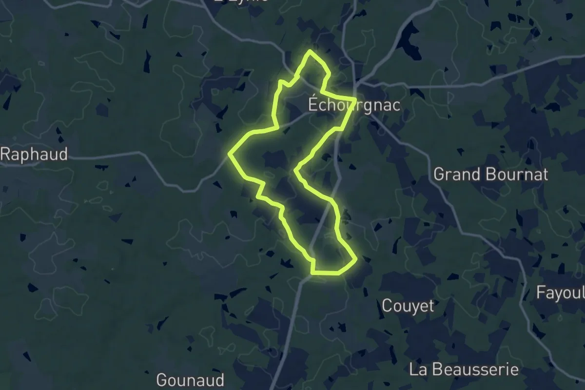
Medium · Trail
Boucle d'Echourgnac
10.5 km · ↑ 100 m · 2 h 51 min · 14 km away
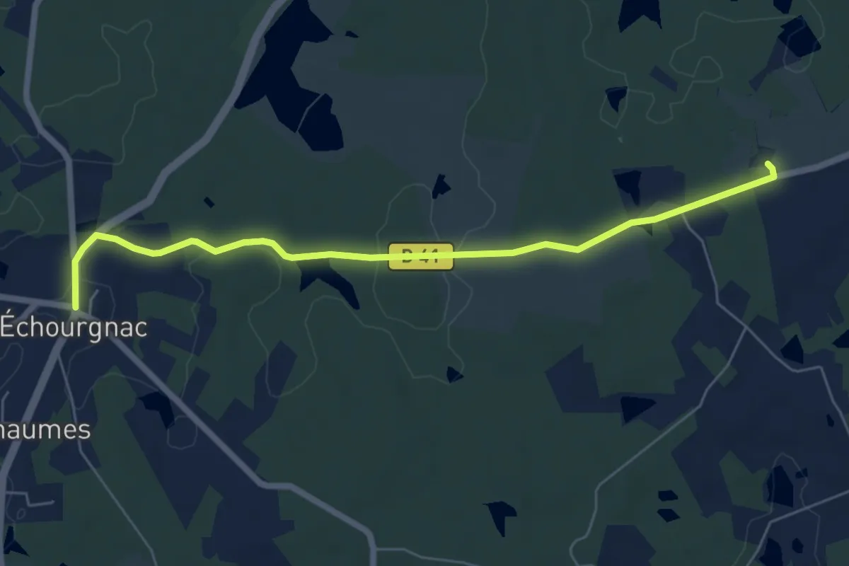
Easy · Trail
Liaison Echourgnac - Ferme du Parcot
6.3 km · ↑ 94 m · 1 h 42 min · 14 km away
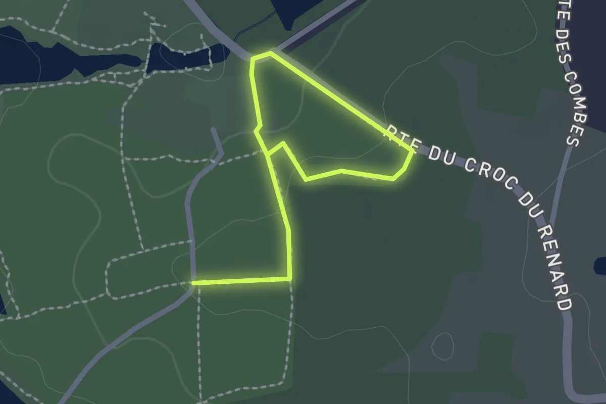
Easy · Trail
Boucle du Châtaigner
2.5 km · ↑ 43 m · 41 min · 15 km away