Trails near Neuvic
110 hikes starting within 15 km, nearest first.
Nearest first, page 2 of 3
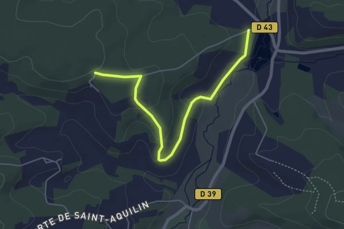
Easy · Trail
Liaison St-Aquilin - Chantérac
4.7 km · ↑ 117 m · 1 h 21 min · 9 km away
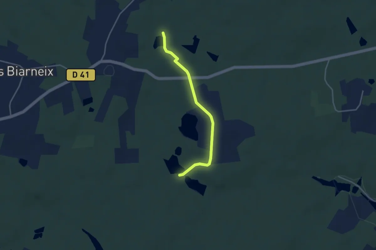
Easy · Trail
Liaison St-Vincent-de-Connezac - St-Jean-d'Ataux
2.9 km · ↑ 16 m · 44 min · 9 km away
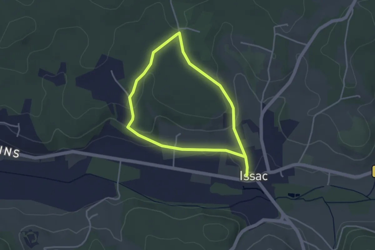
Easy · Trail
Boucle des écoliers
2.8 km · ↑ 59 m · 49 min · 9 km away
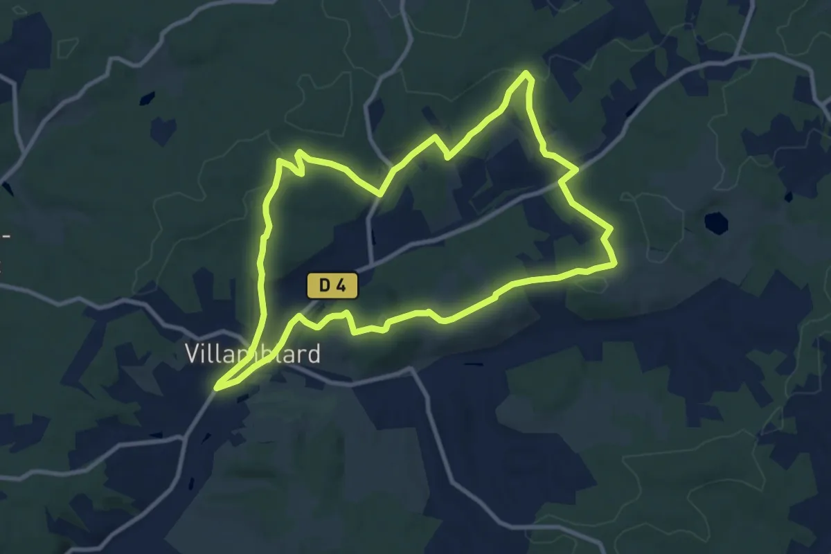
Medium · Trail
Boucle des crètes
9.7 km · ↑ 190 m · 2 h 50 min · 10 km away
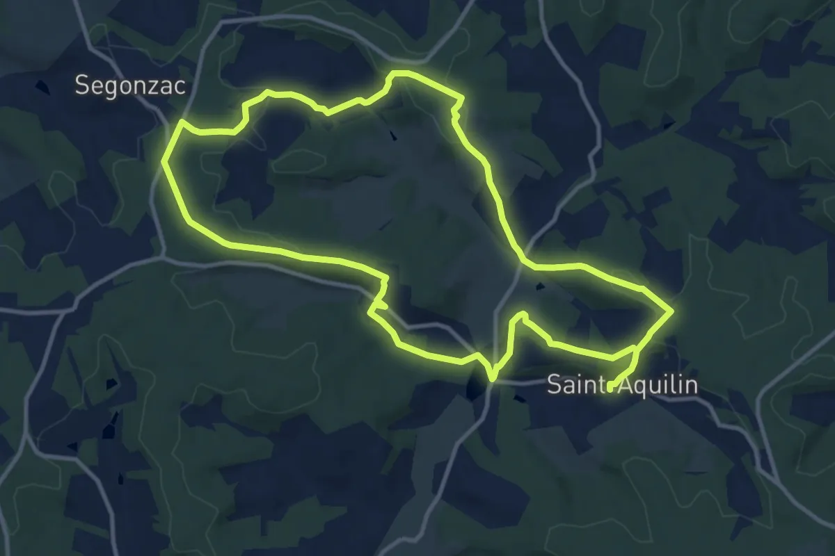
Demanding · Trail
Boucle des Châteaux
22.4 km · ↑ 566 m · 6 h 31 min · 10 km away
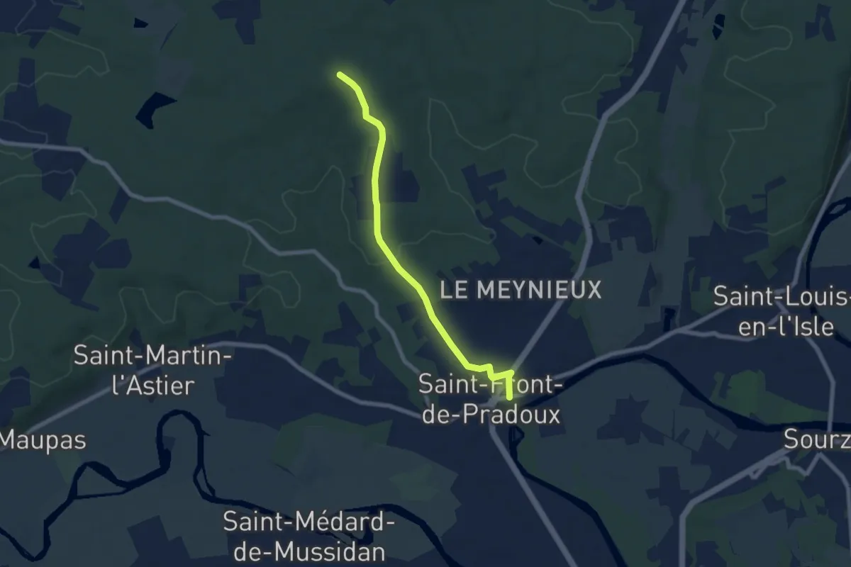
Easy · Trail
Liaison St-Front-de-Pradoux - St-Martin-l'Astier - St-Laurent-des-Hommes - La Jemaye - Echourgnac - St-Etienne-de-Puycorbier
6.4 km · ↑ 91 m · 1 h 43 min · 10 km away
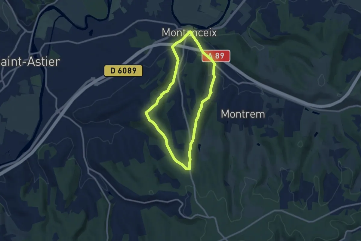
Easy · Trail
Boucle des Trufières
7.3 km · ↑ 129 m · 2 h 6 min · 10 km away
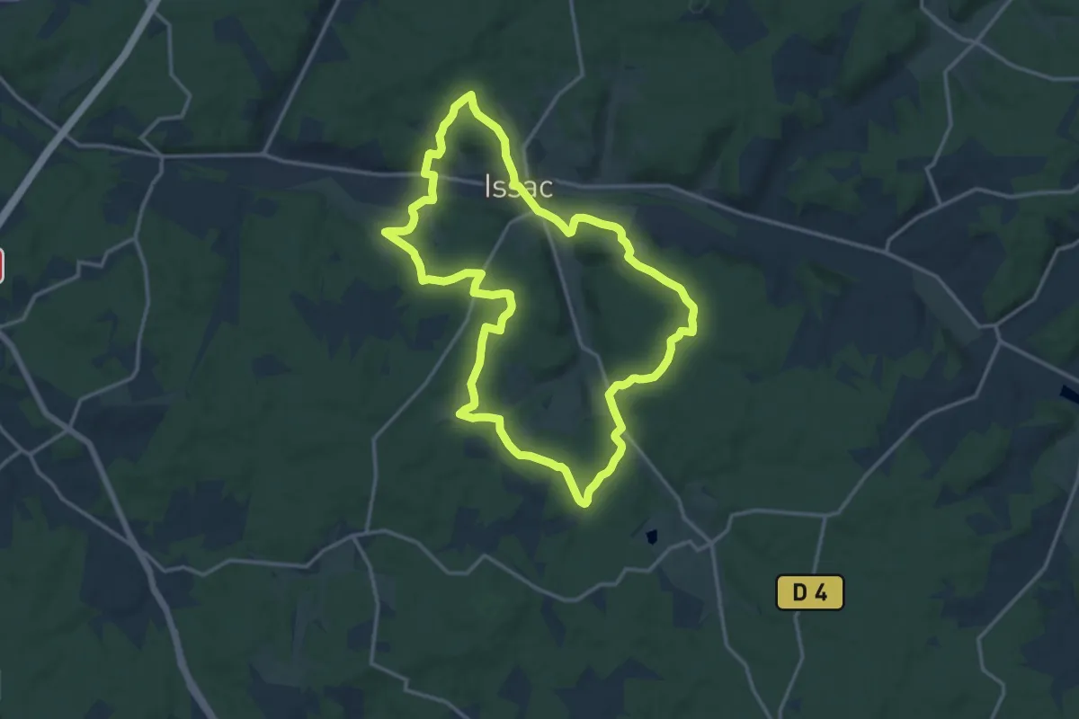
Medium · Trail
Sentier des 10 000 ans
14.4 km · ↑ 263 m · 4 h 10 min · 10 km away
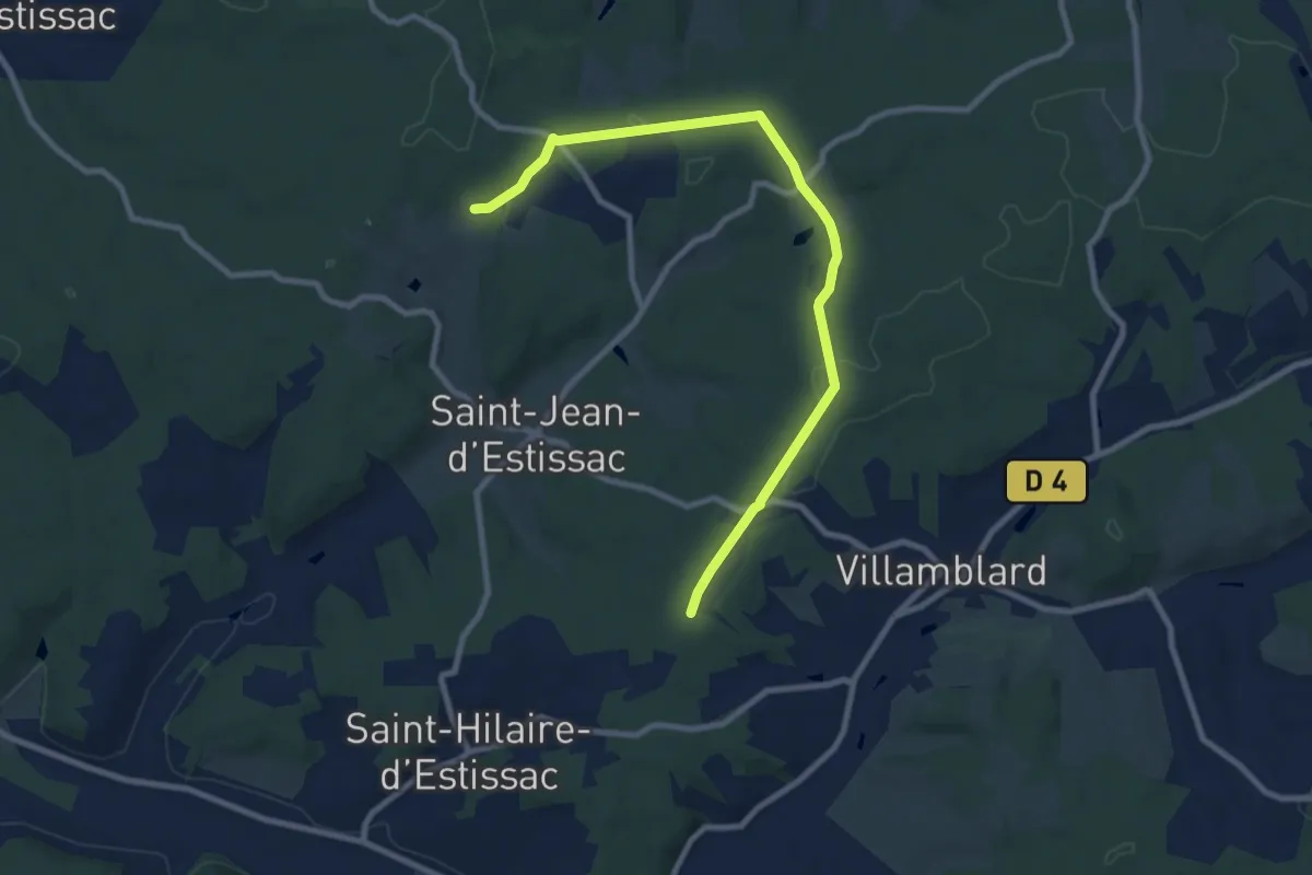
Medium · Trail
Liaison Villamblard-St-Jean-d'Estissac-St-Hilaire-d'Estissac
9.8 km · ↑ 153 m · 2 h 39 min · 10 km away
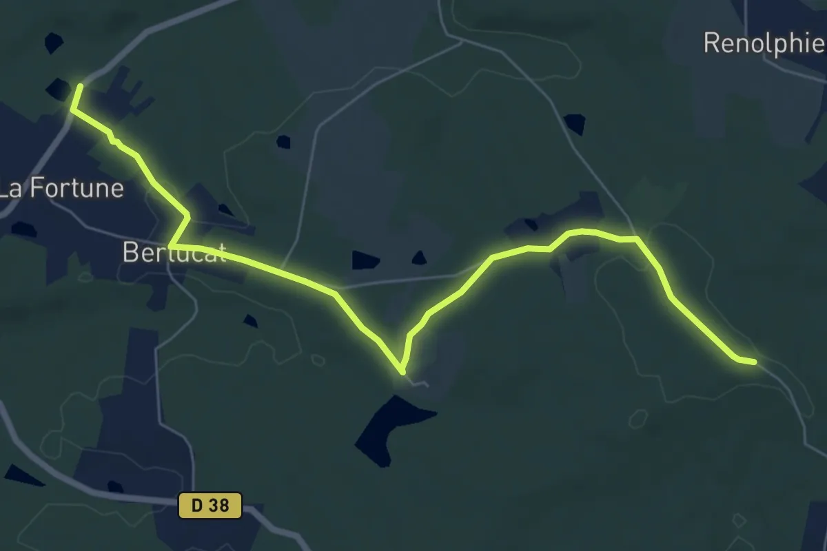
Easy · Trail
Liaison St-Front-de-Pradoux - St-Martin-l'Astier - St-Laurent-des-Hommes - La Jemaye - Echourgnac - St-Etienne-de-Puycorbier
7.6 km · ↑ 112 m · 2 h 3 min · 10 km away
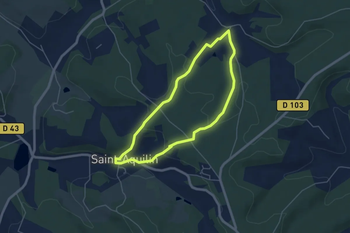
Easy · Trail
Promenade de Charroux
4.2 km · ↑ 120 m · 1 h 18 min · 10 km away
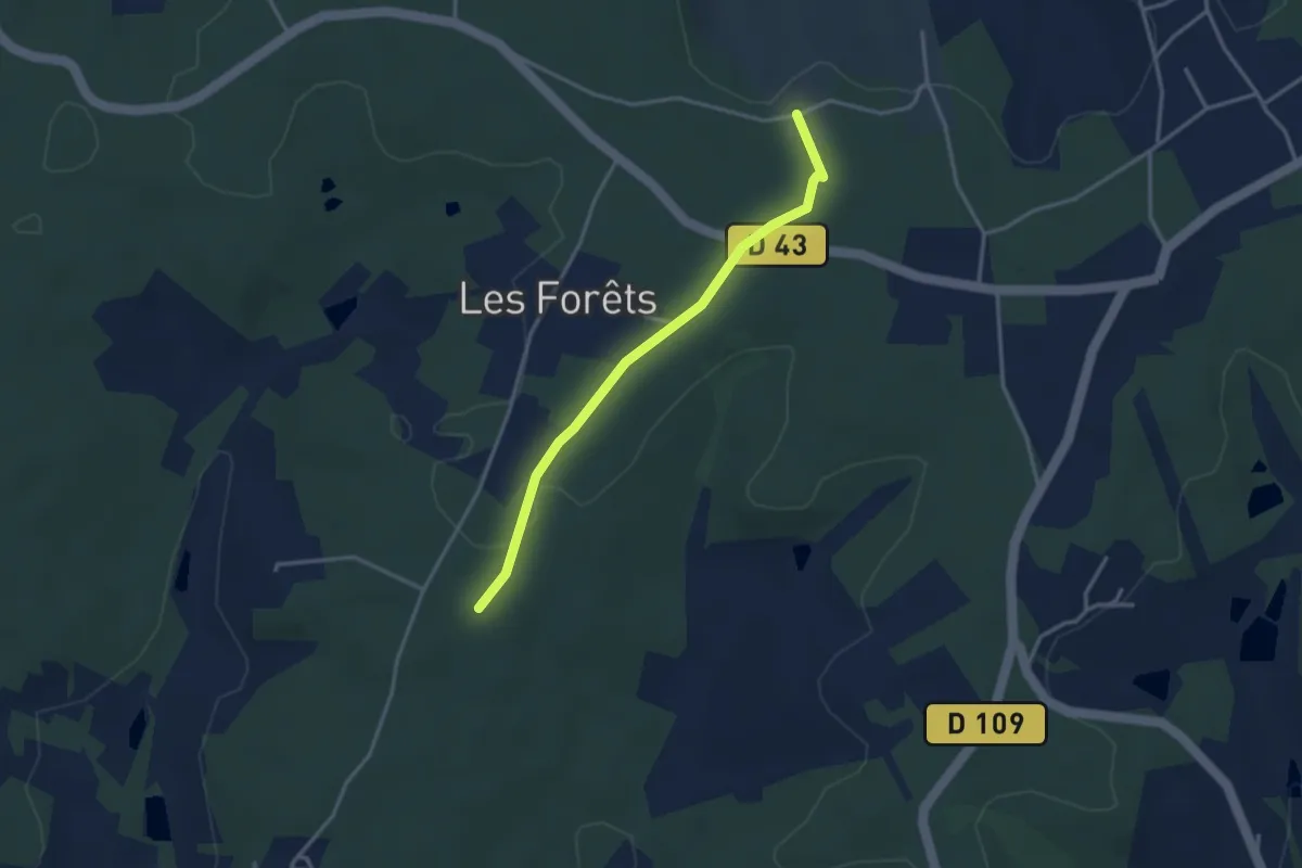
Easy · Trail
Liaison Saint-Vincent-de-Connezac - Ségonzac
3.2 km · ↑ 24 m · 48 min · 10 km away
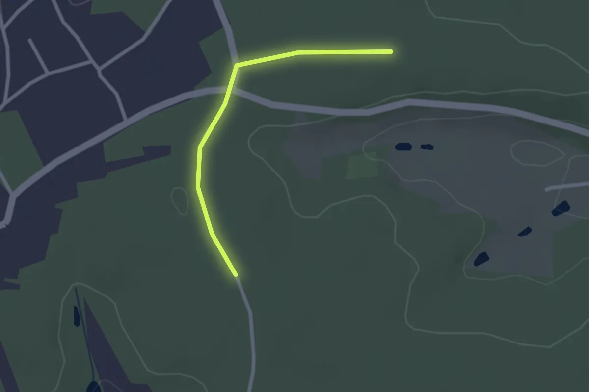
Easy · Trail
Liaison St-Aquilin - Chantérac
2.2 km · ↑ 4 m · 31 min · 10 km away
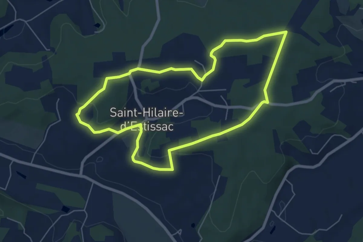
Easy · Trail
Boucle des Coteaux Crempsois
5.5 km · ↑ 84 m · 1 h 34 min · 10 km away
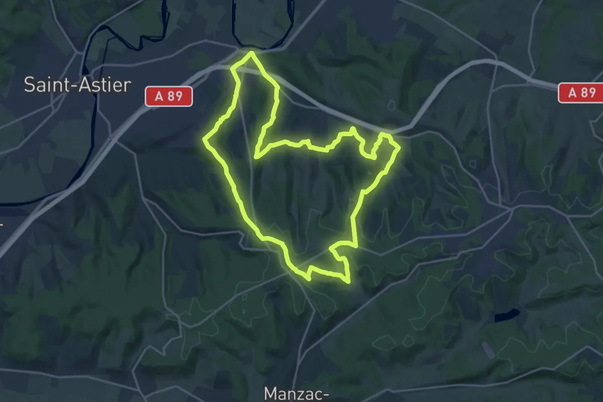
Demanding · Trail
Boucle des 5 Étangs
18.0 km · ↑ 426 m · 5 h 26 min · 10 km away
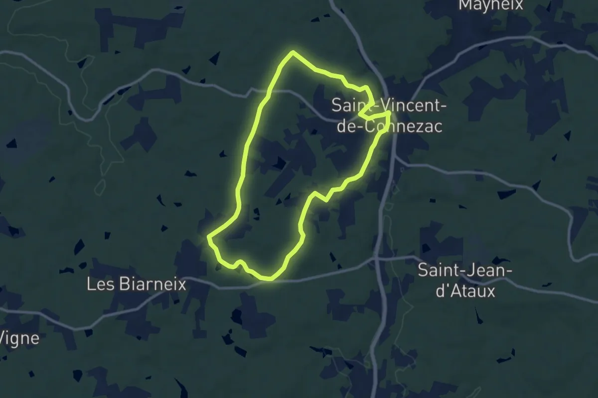
Medium · Trail
Boucle du Grand Claud
9.1 km · ↑ 93 m · 2 h 29 min · 10 km away
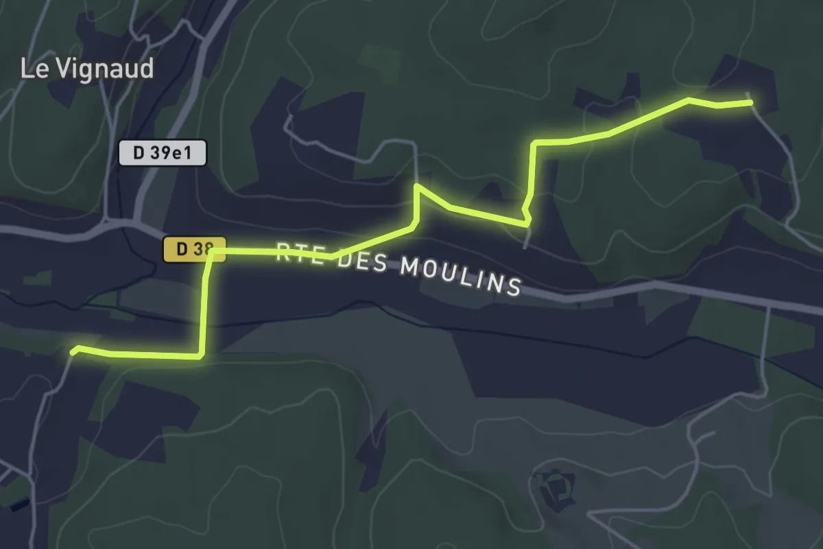
Easy · Trail
Liaison Issac - Bourgnac - St-Jean-d'Estissac
5.2 km · ↑ 108 m · 1 h 28 min · 10 km away
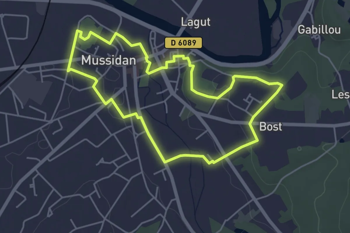
Easy · Trail
Boucle de Mussidan et ses faubourgs
4.3 km · ↑ 51 m · 1 h 12 min · 10 km away
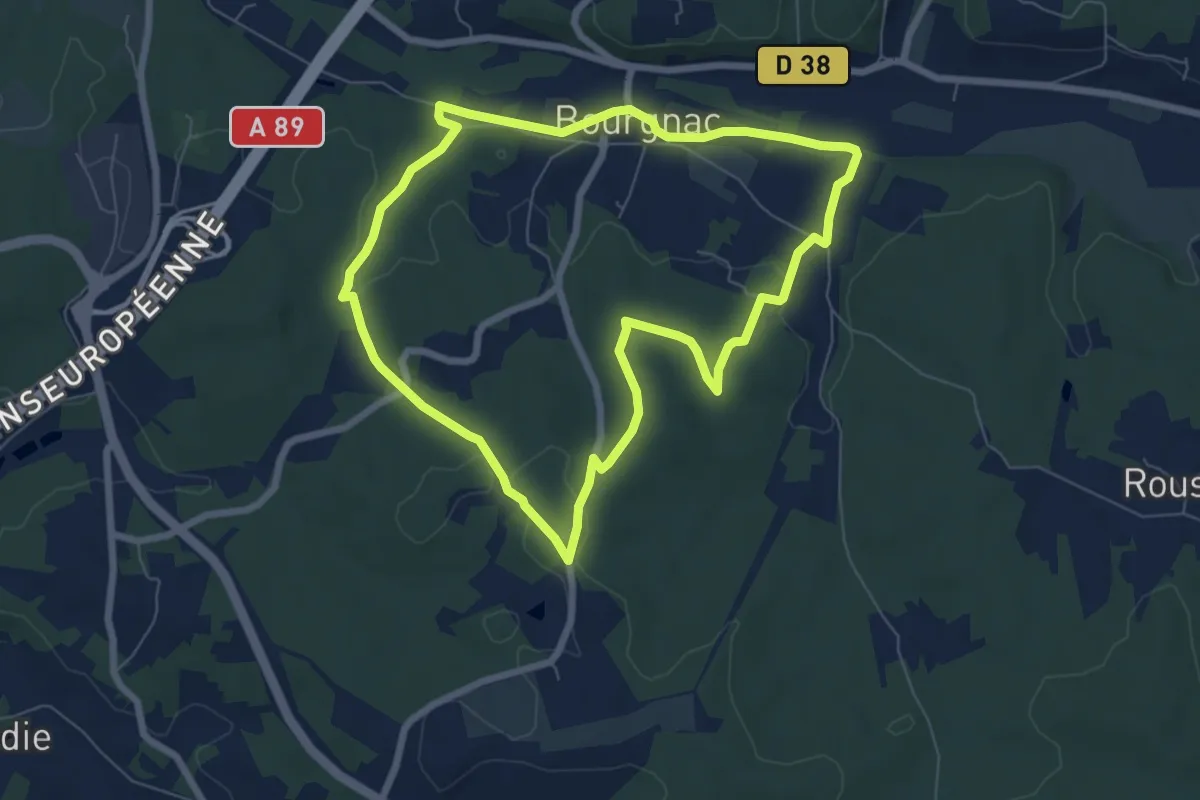
Easy · Trail
Boucle des 9 Fonts
7.0 km · ↑ 99 m · 1 h 58 min · 11 km away
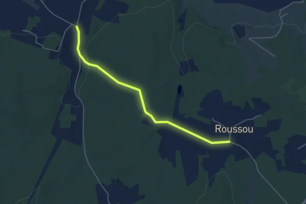
Easy · Trail
Liaison Bourgnac - Issac - Eglise-Neuve-d'Issac
4.0 km · ↑ 62 m · 1 h 5 min · 11 km away
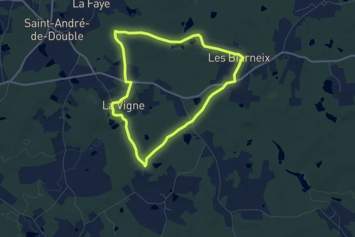
Easy · Trail
Boucle des étangs
7.0 km · ↑ 58 m · 1 h 52 min · 11 km away
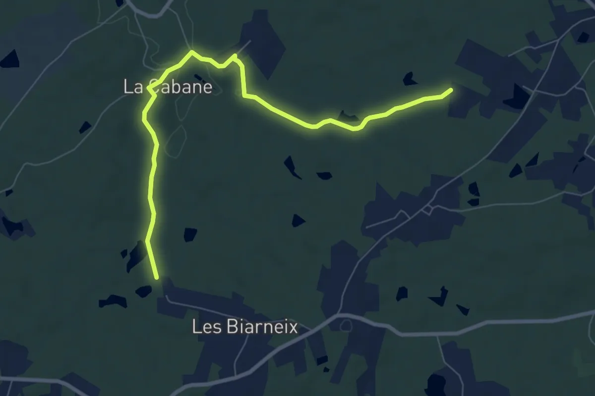
Medium · Trail
Liaison St-Vincent-de-Connezac - St-André-de-Double
8.2 km · ↑ 108 m · 2 h 10 min · 11 km away
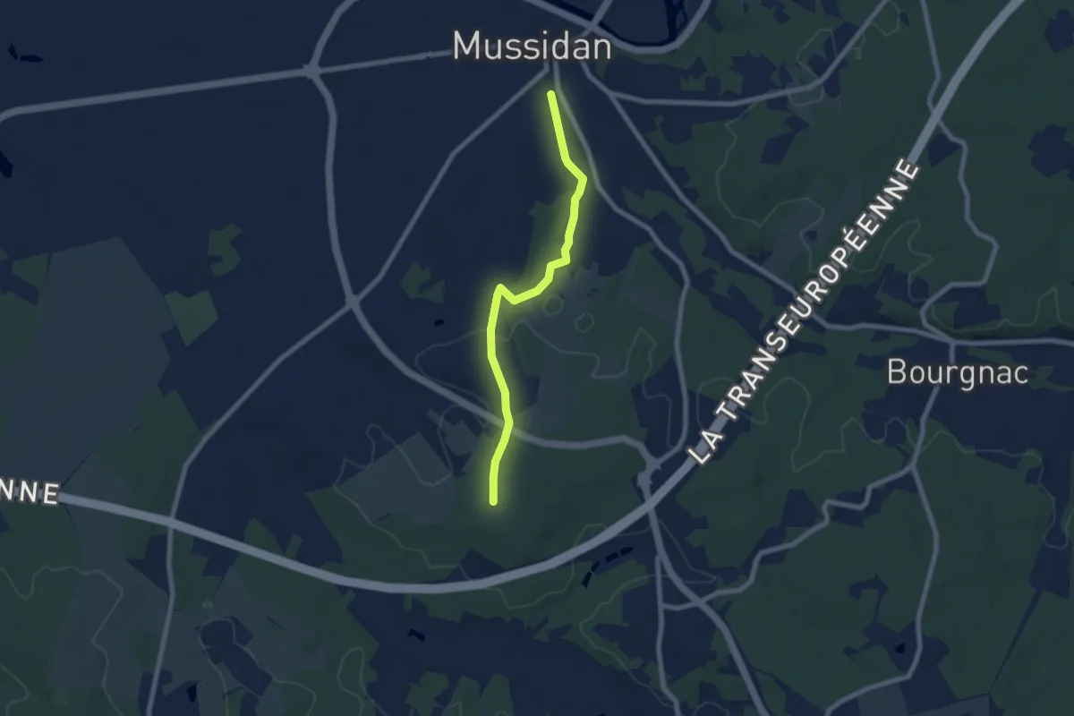
Easy · Trail
Liaison boucle de Bellevue - Mussidan
6.9 km · ↑ 69 m · 1 h 46 min · 11 km away
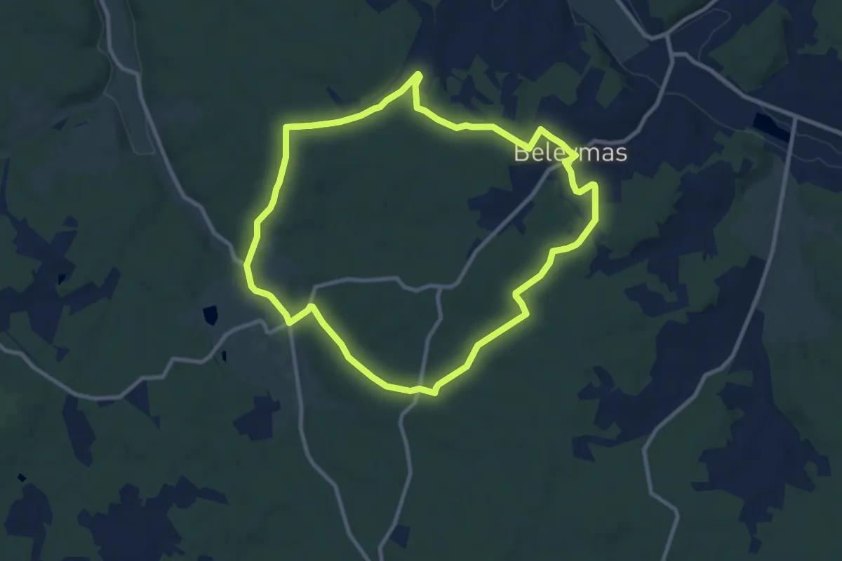
Medium · Trail
Boucle de Belisama
9.2 km · ↑ 135 m · 2 h 36 min · 11 km away
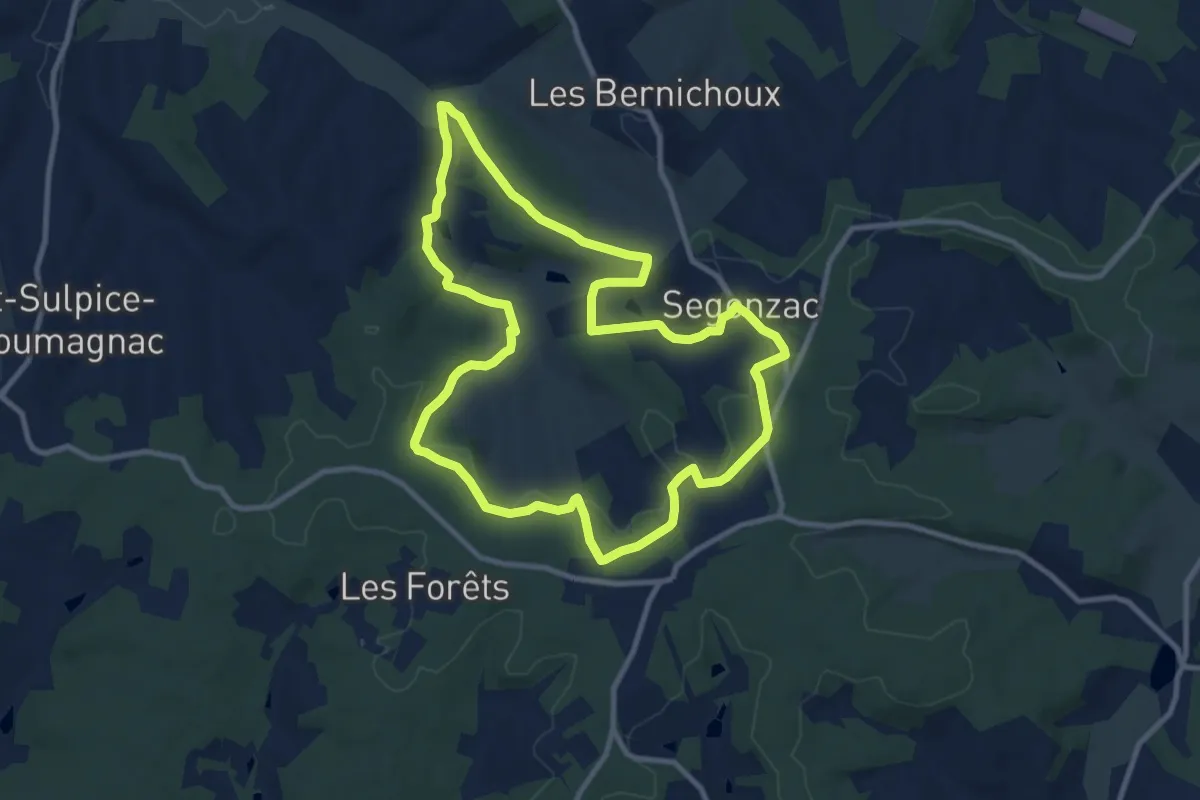
Medium · Trail
Boucle de Ségonzac
10.3 km · ↑ 204 m · 3 h · 11 km away
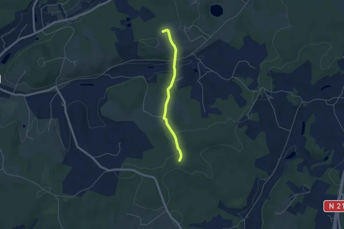
Easy · Trail
Liaison Douville - Villamblard
4.0 km · ↑ 97 m · 1 h 9 min · 11 km away
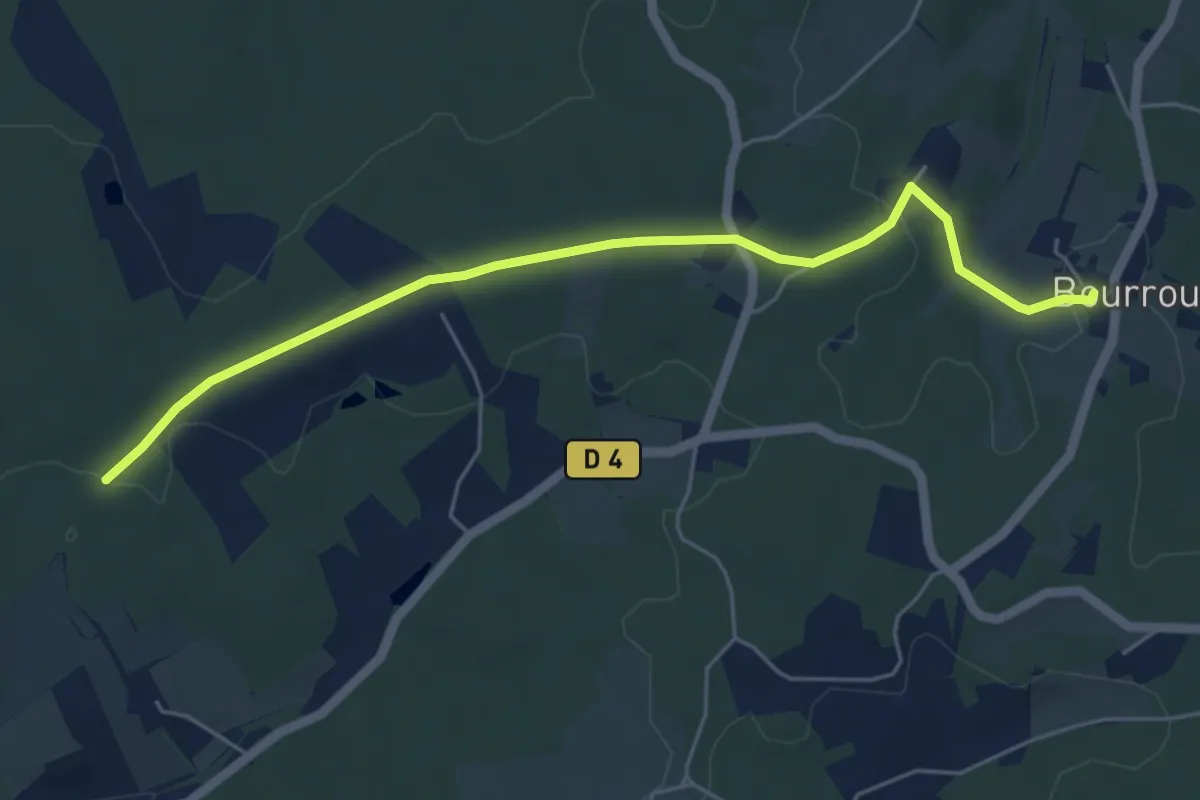
Easy · Trail
Liaison Villamblard - Bourrou
5.9 km · ↑ 79 m · 1 h 33 min · 12 km away
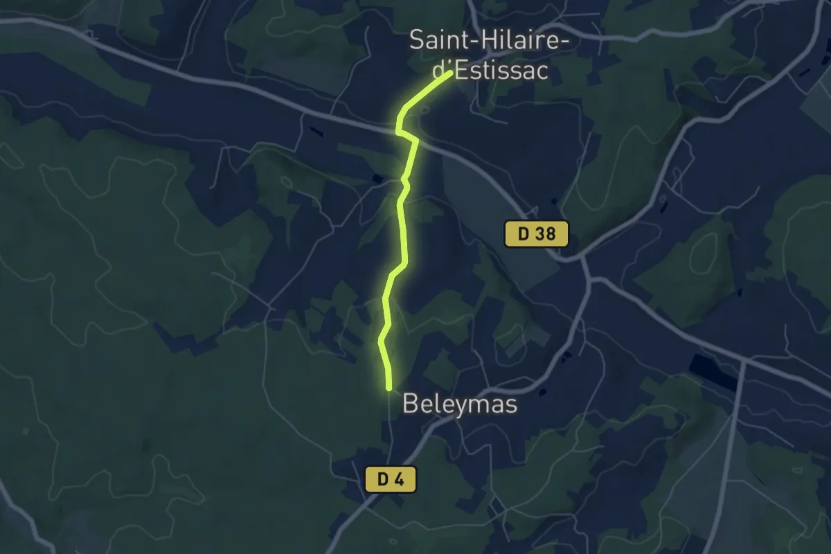
Easy · Trail
Liaison Beleymas-Saint-Hilaire-d'Estissac
4.6 km · ↑ 115 m · 1 h 21 min · 12 km away
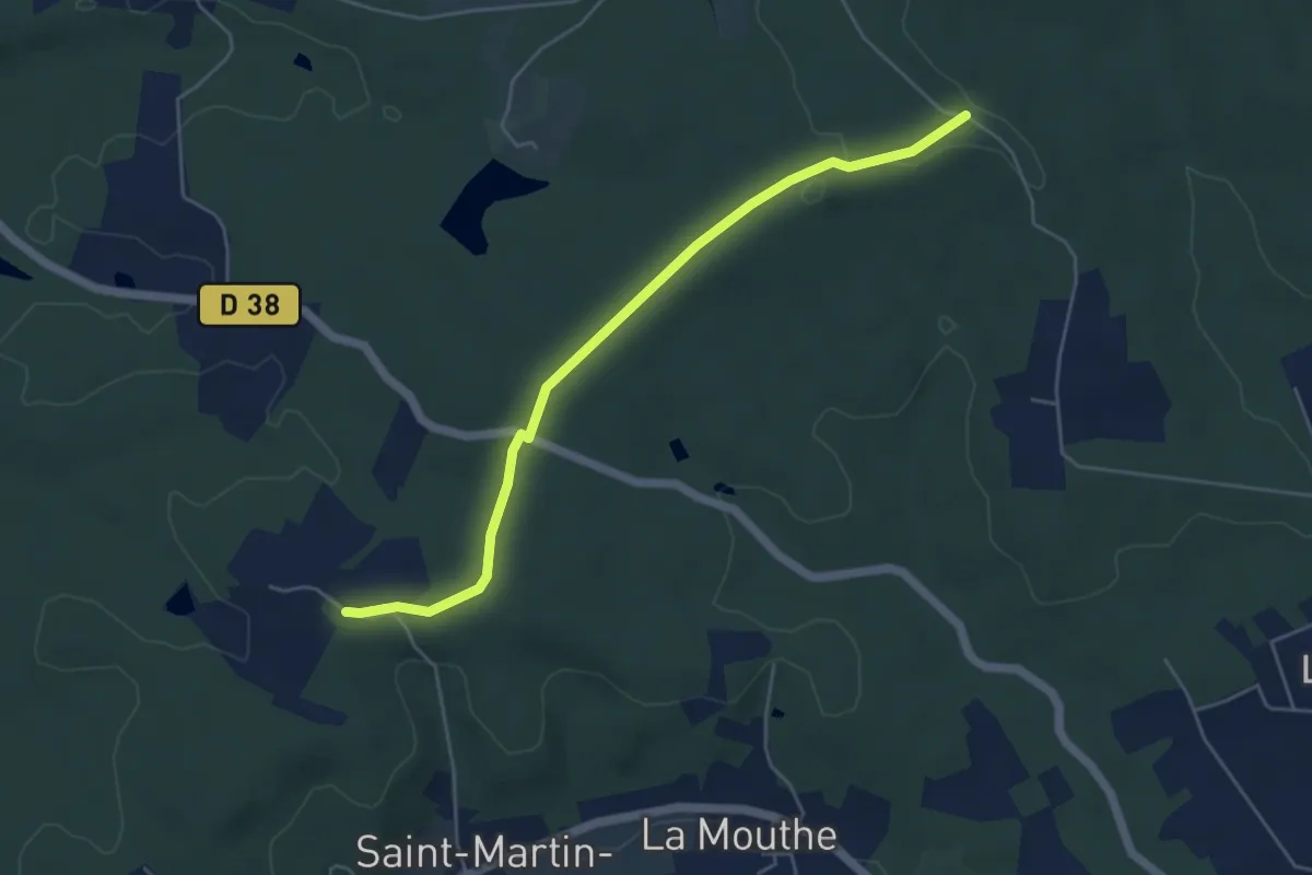
Easy · Trail
Liaison St-Front-de-Pradoux - St-Martin-l'Astier - St-Laurent-des-Hommes - La Jemaye - Echourgnac - St-Etienne-de-Puycorbier
5.2 km · ↑ 40 m · 1 h 19 min · 12 km away
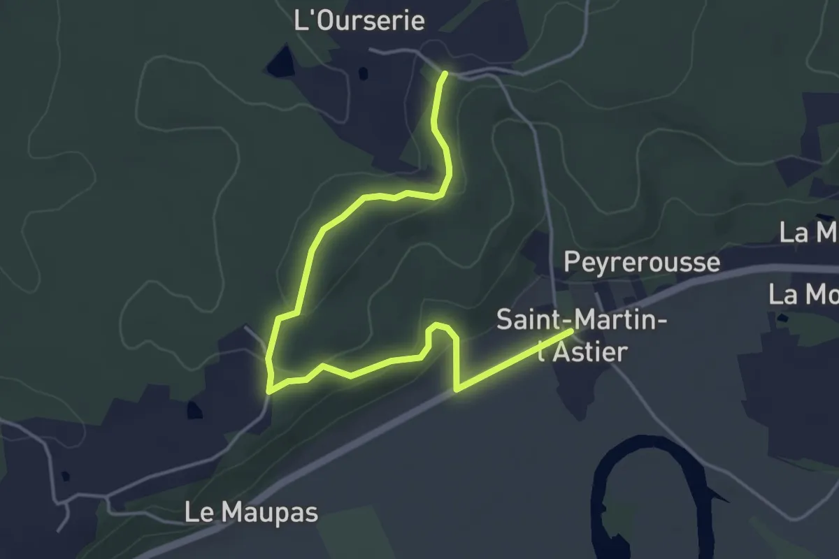
Easy · Trail
Liaison
5.1 km · ↑ 89 m · 1 h 24 min · 12 km away
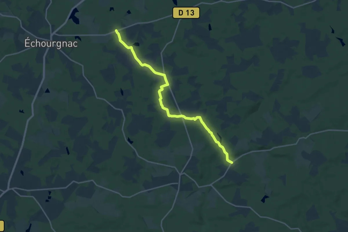
Medium · Trail
Liaison St-Front-de-Pradoux - St-Martin-l'Astier - St-Laurent-des-Hommes - La Jemaye - Echourgnac - St-Etienne-de-Puycorbier
15.8 km · ↑ 147 m · 4 h 3 min · 12 km away
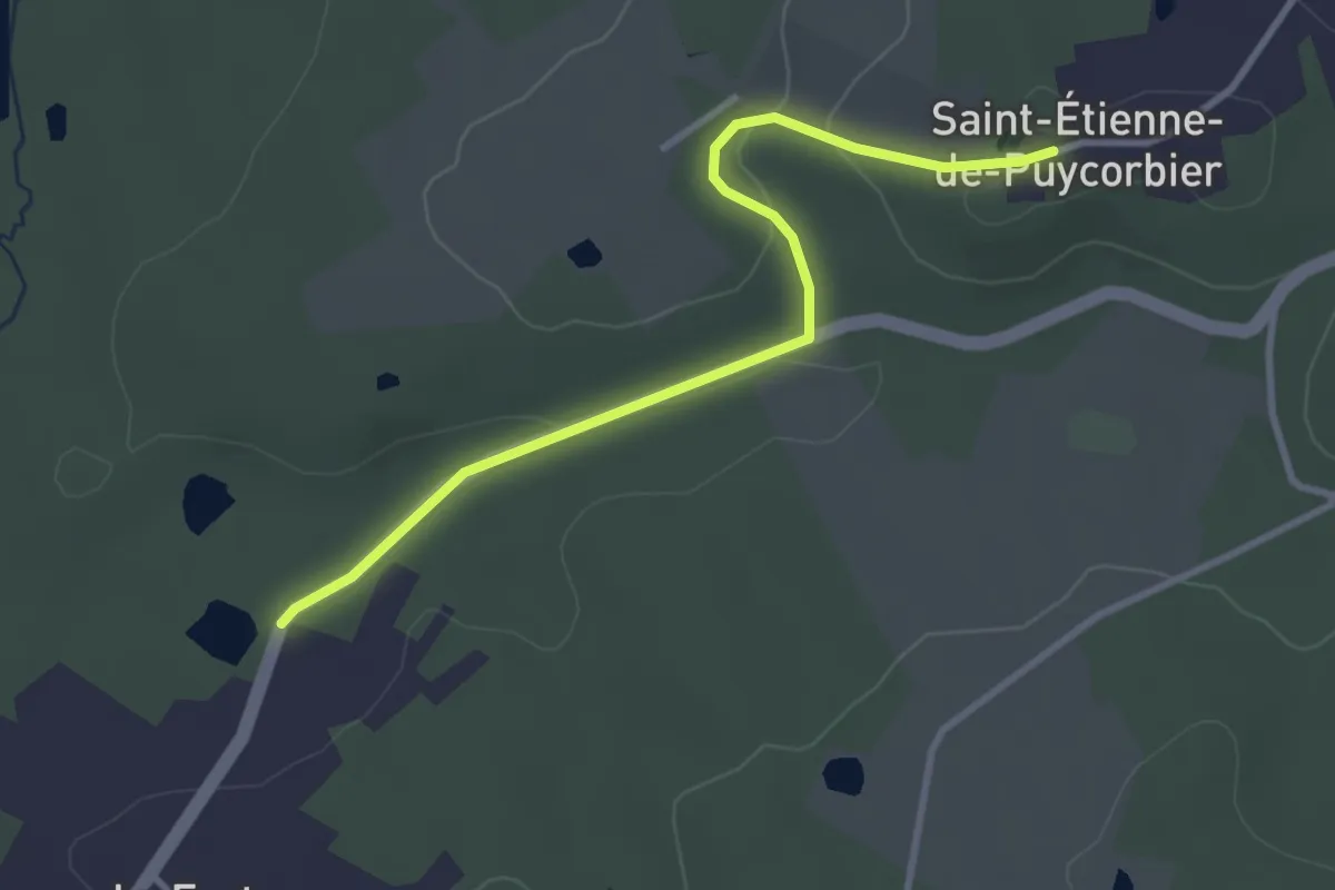
Easy · Trail
Liaison St-Front-de-Pradoux - St-Martin-l'Astier - St-Laurent-des-Hommes - La Jemaye - Echourgnac - St-Etienne-de-Puycorbier
3.4 km · ↑ 65 m · 57 min · 12 km away
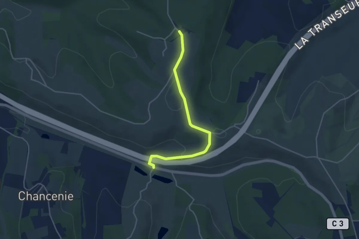
Easy · Trail
Liaison Montrem - Coursac - Razac
3.6 km · ↑ 81 m · 1 h 2 min · 12 km away
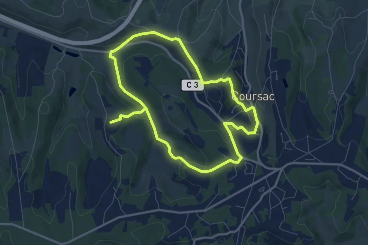
Medium · Trail
Ronde des Lavandières
13.9 km · ↑ 332 m · 4 h · 12 km away
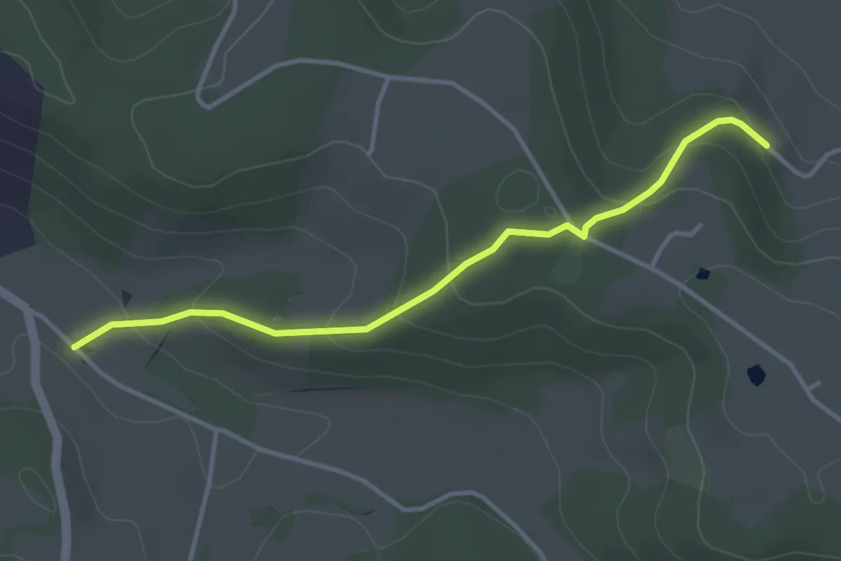
Easy · Trail
Liaison St-Paul-de-Serre - Bourrou
3.5 km · ↑ 164 m · 1 h 11 min · 13 km away
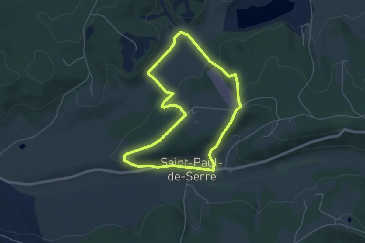
Easy · Trail
Boucle de Moncouche
4.5 km · ↑ 162 m · 1 h 28 min · 13 km away
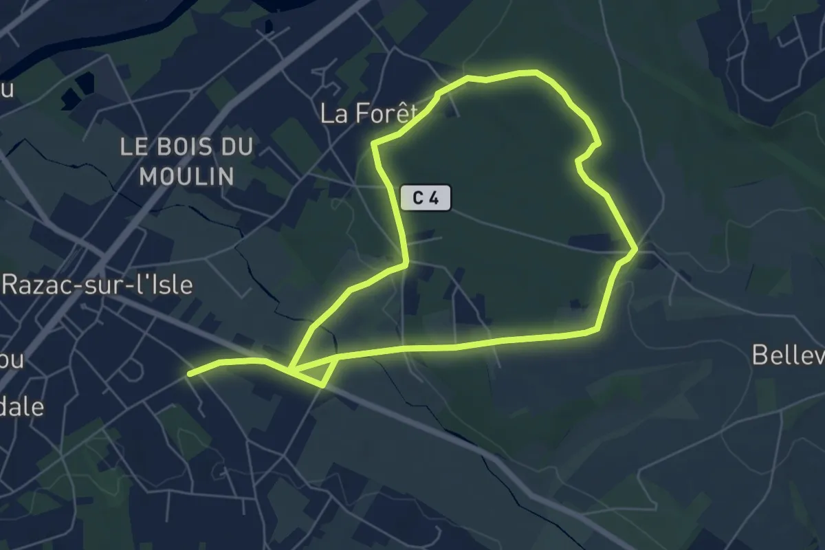
Medium · Trail
Boucle la Forêt
11.8 km · ↑ 175 m · 3 h 9 min · 13 km away
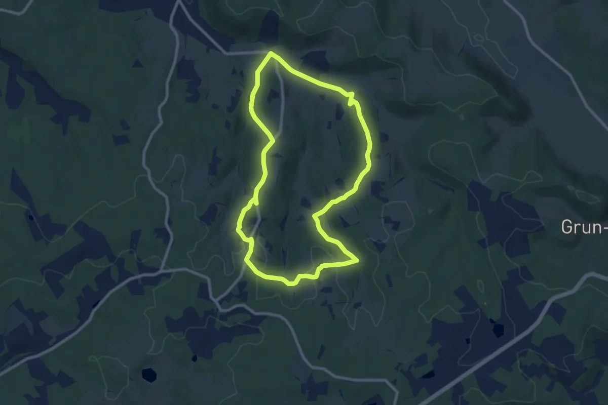
Medium · Trail
Boucle de Chante Coucou
8.0 km · ↑ 170 m · 2 h 22 min · 13 km away
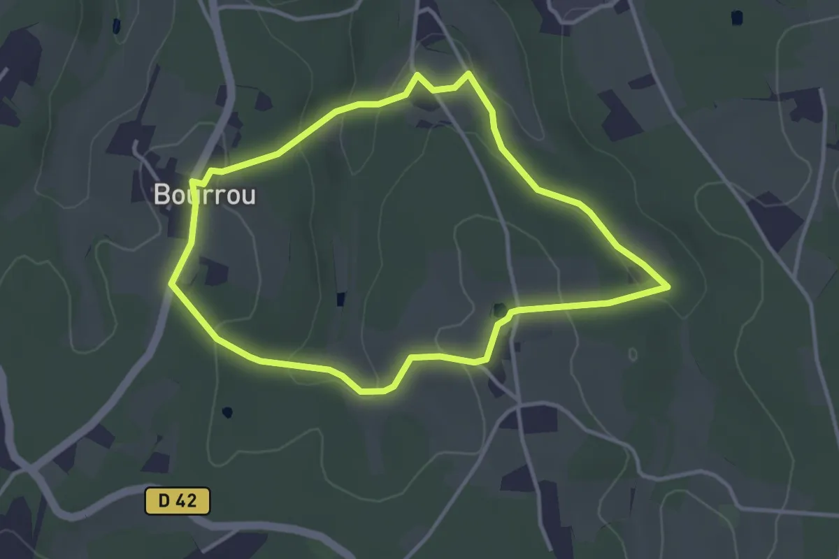
Easy · Trail
Boucle du Land'Art
3.4 km · ↑ 83 m · 1 h 2 min · 13 km away
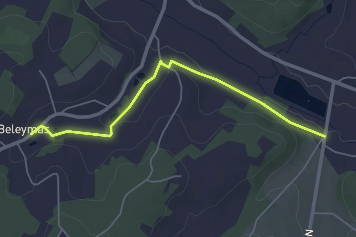
Easy · Trail
Liaison Beleymas - Montagnac-la-Crempse - Villamblard
4.3 km · ↑ 34 m · 1 h 5 min · 13 km away
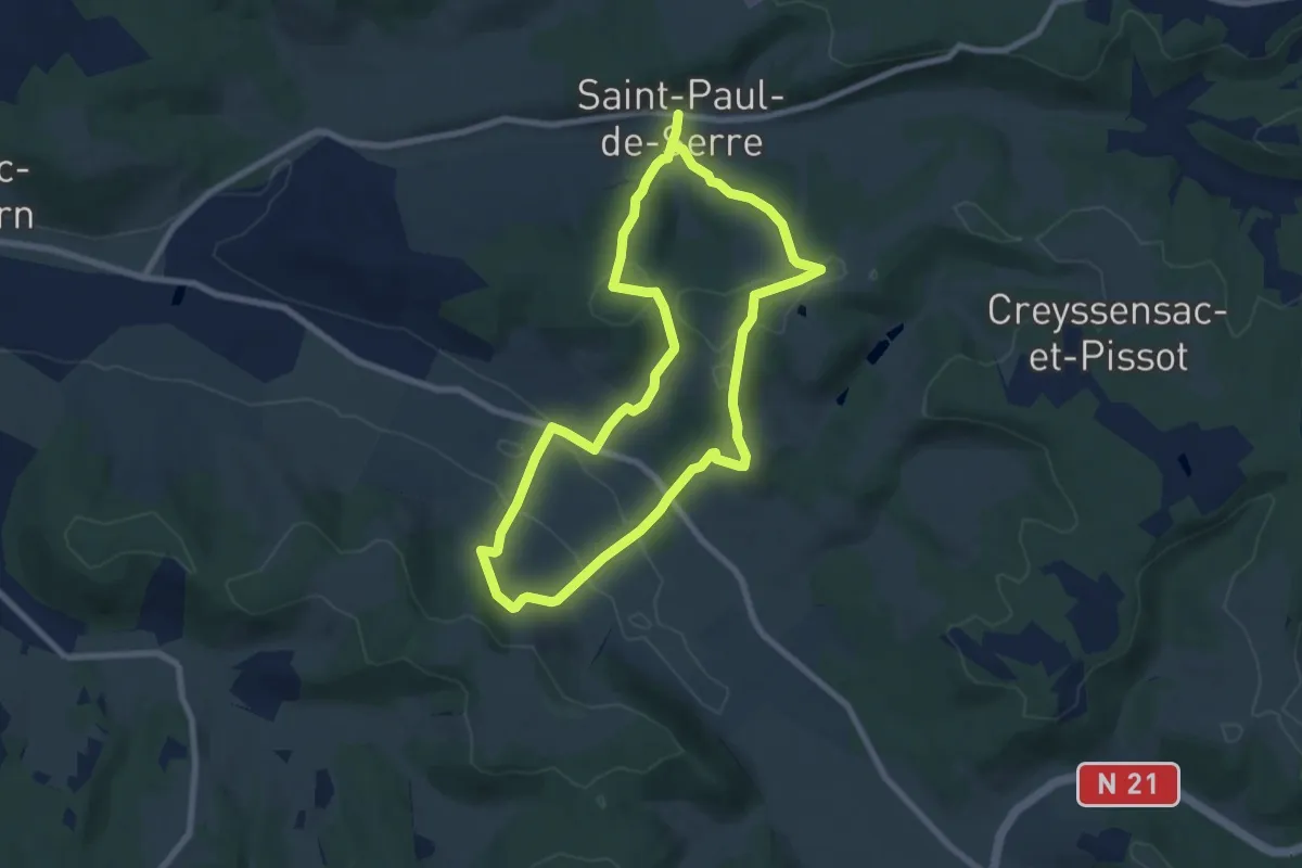
Medium · Trail
Boucle des Mangours
14.8 km · ↑ 484 m · 4 h 32 min · 13 km away
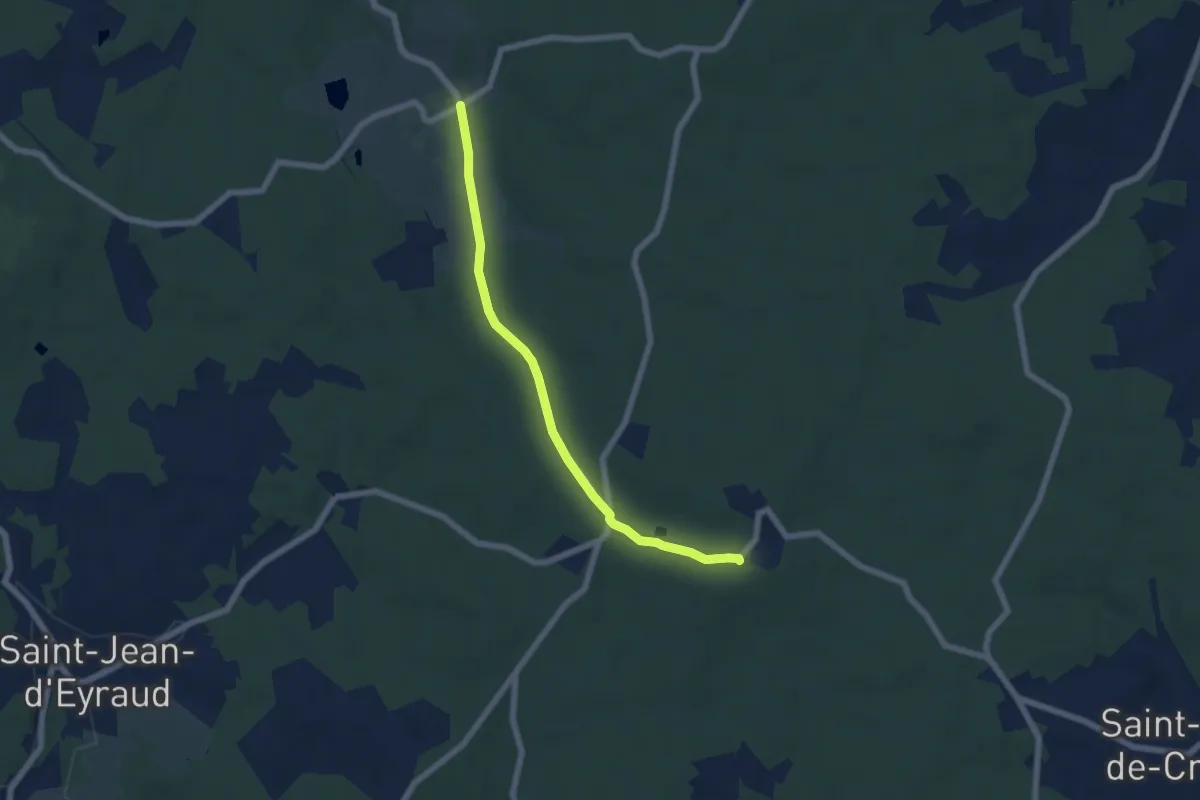
Easy · Trail
Liaison Beleymas - Maurens
6.1 km · ↑ 67 m · 1 h 35 min · 13 km away
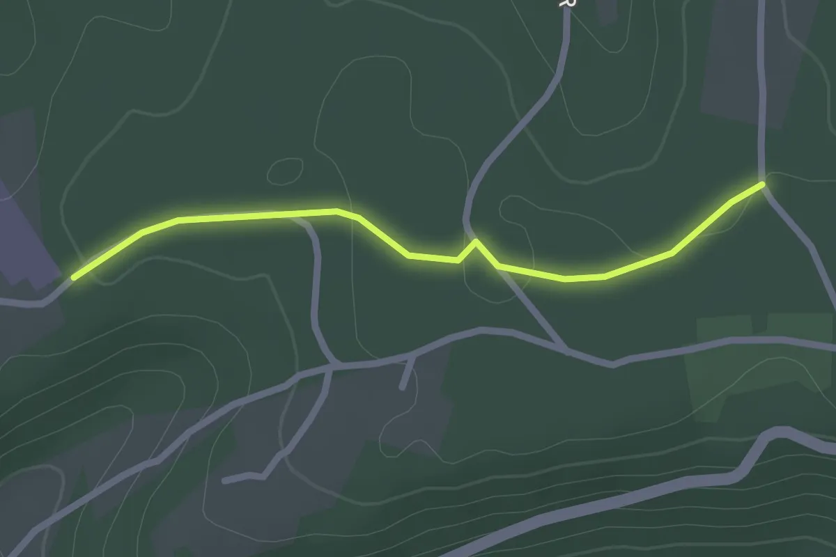
Easy · Trail
Liaison St-Paul-de-Serre - Chalagnac
2.1 km · ↑ 17 m · 32 min · 13 km away
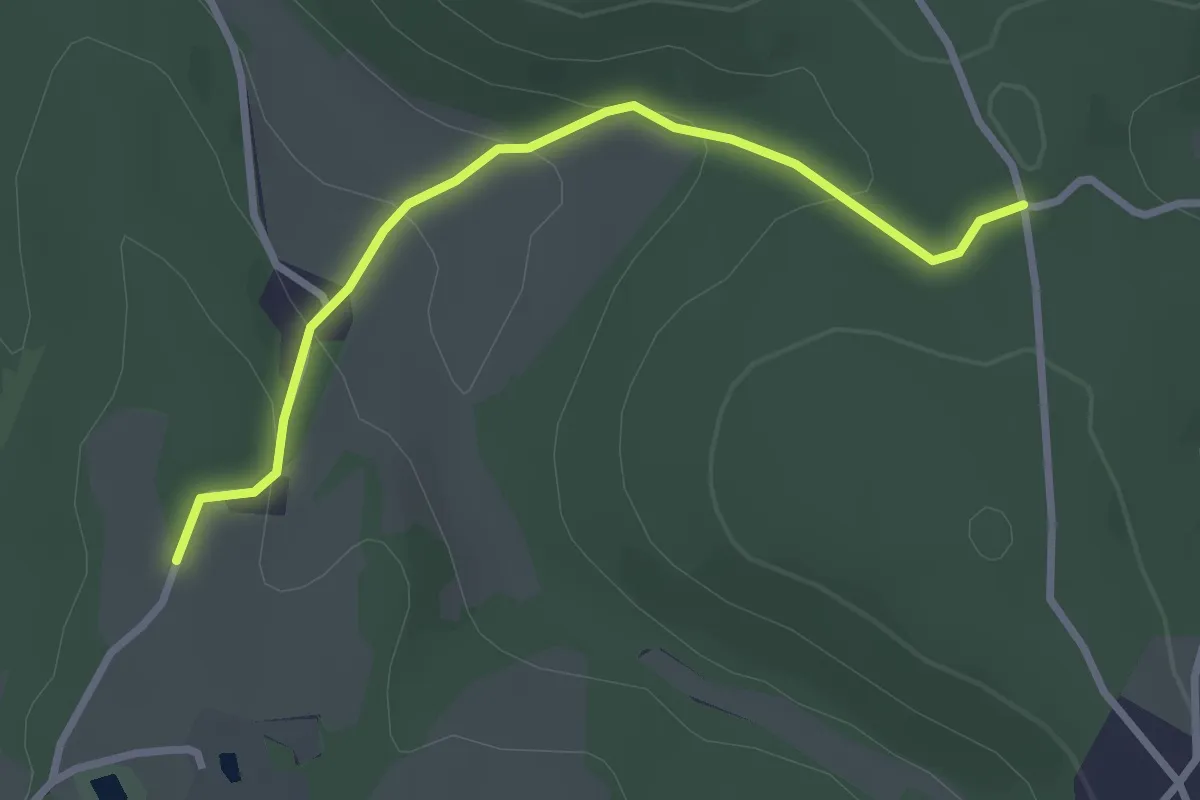
Easy · Trail
Liaison
2.9 km · ↑ 105 m · 55 min · 13 km away
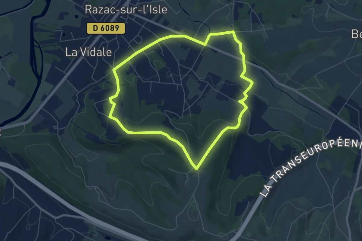
Easy · Trail
Boucle les Hauts de Razac
6.3 km · ↑ 128 m · 1 h 51 min · 14 km away
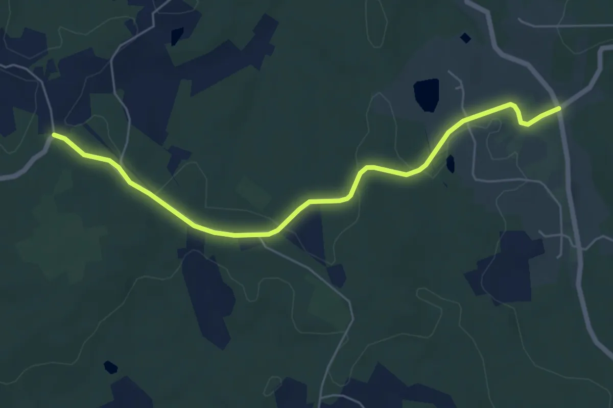
Easy · Trail
Liaison Beleymas - Eglise-Neuve-d'Issac
5.8 km · ↑ 69 m · 1 h 32 min · 14 km away
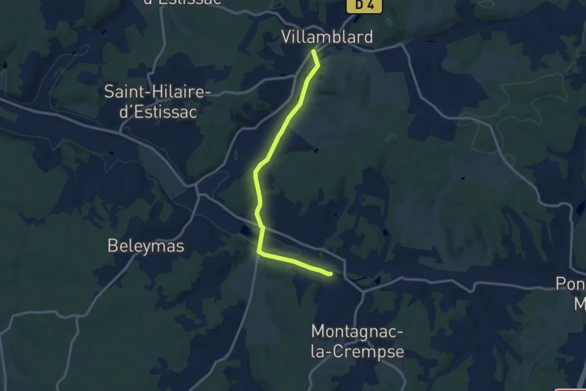
Medium · Trail
Liaison Beleymas - Montagnac-la-Crempse - Villamblard
9.2 km · ↑ 98 m · 2 h 23 min · 14 km away
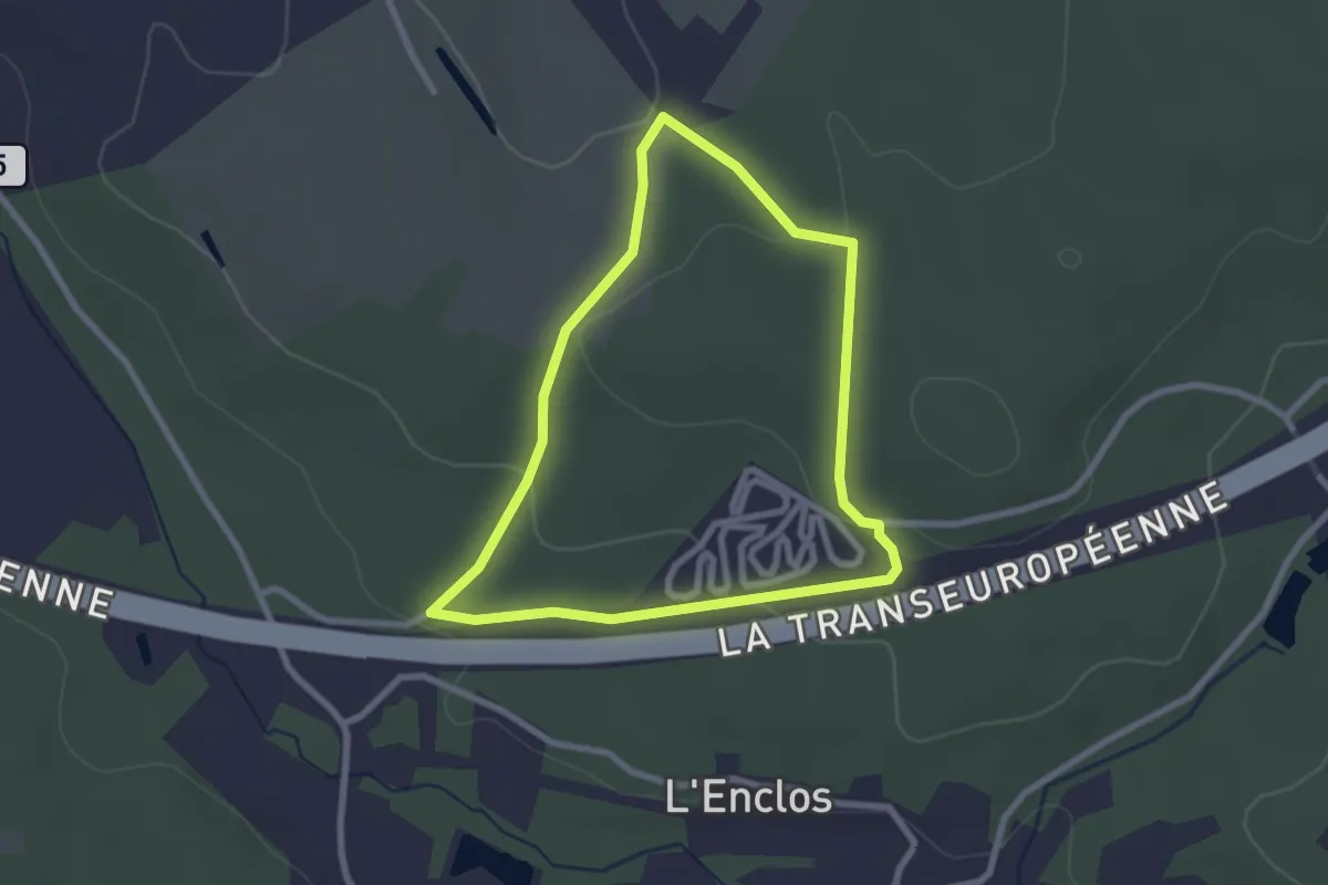
Easy · Trail
Boucle de Bellevue
2.5 km · ↑ 60 m · 45 min · 14 km away