Trails near Orthez
17 hikes starting within 15 km, nearest first.
Nearest first
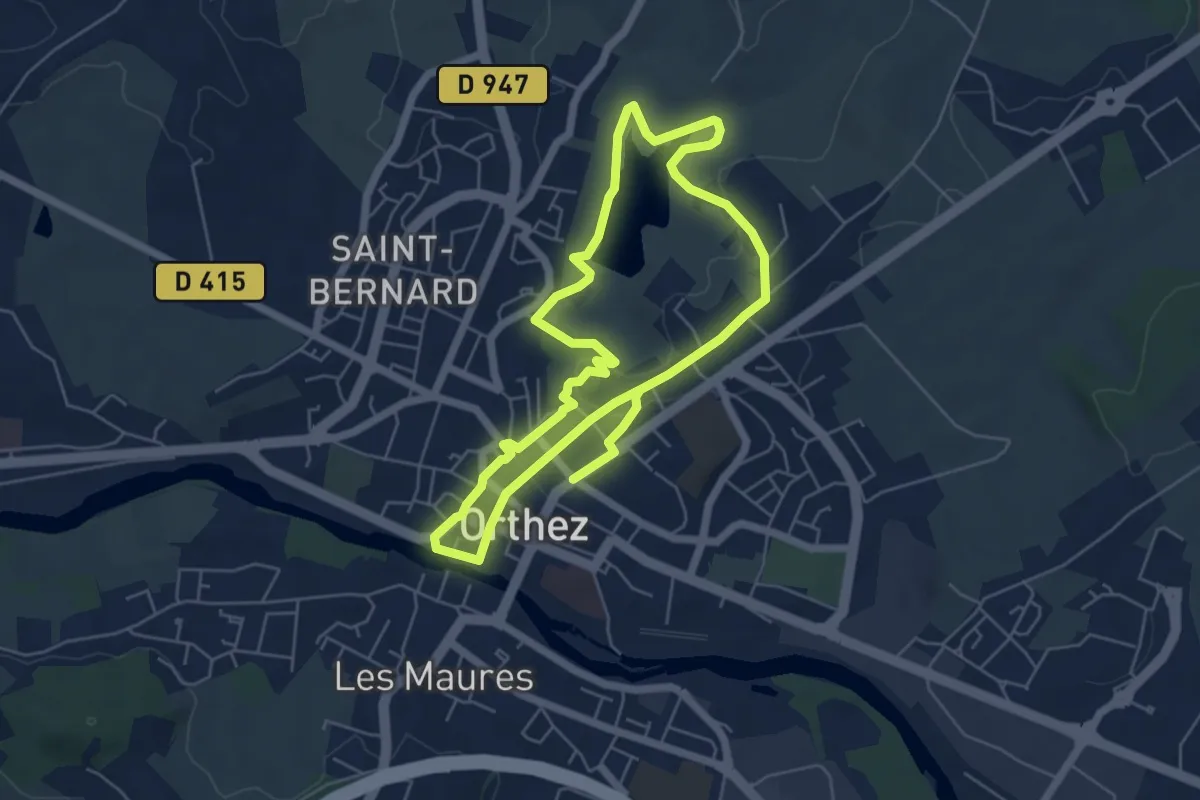
Medium · Trail
Orthez médiéval
11.4 km · ↑ 191 m · 3 h 7 min · under 1 km away
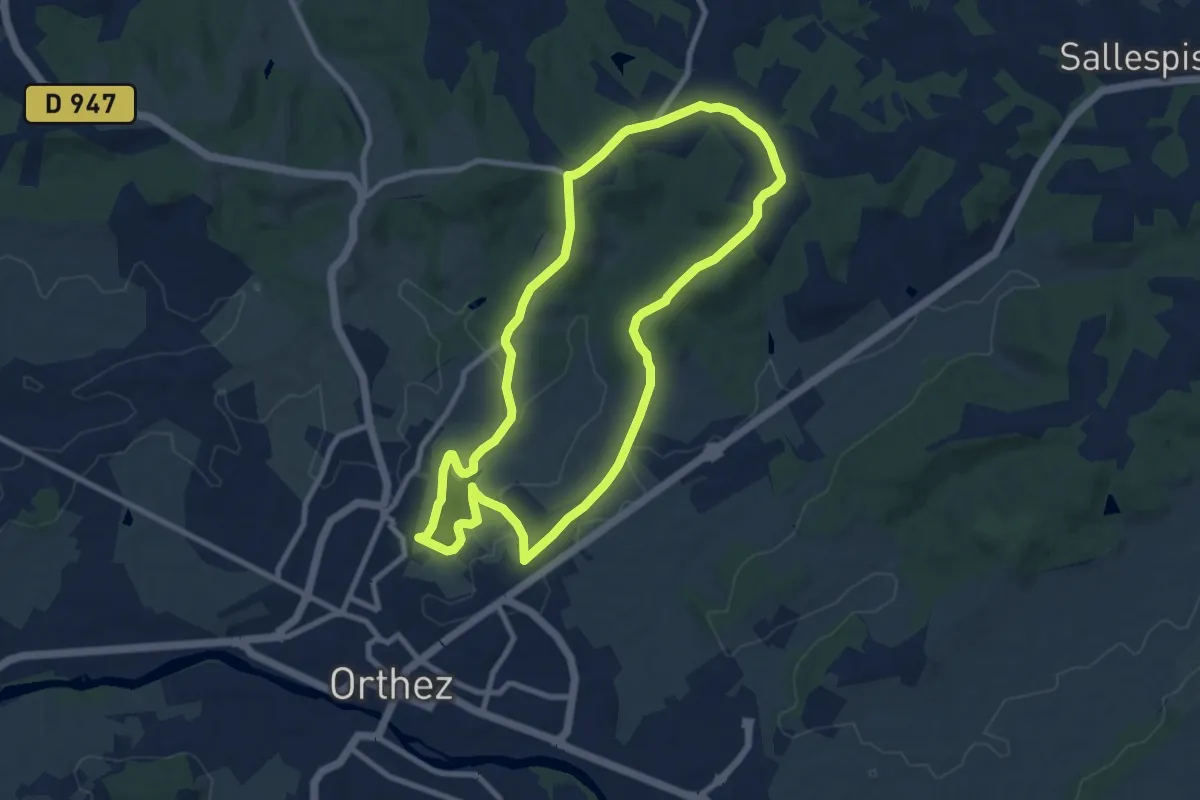
Medium · Trail
Lac du Grècq - Forêt de Laqueyre
9.3 km · ↑ 140 m · 2 h 38 min · 1 km away
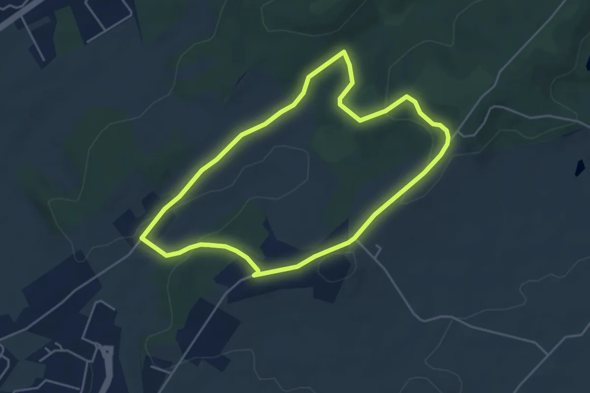
Easy · Trail
Circuit de Matachot
4.1 km · ↑ 81 m · 1 h 12 min · 3 km away
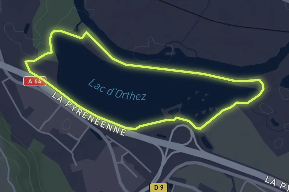
Easy · Trail
Promenade du lac d’Orthez-Biron
3.6 km · ↑ 10 m · 55 min · 3 km away
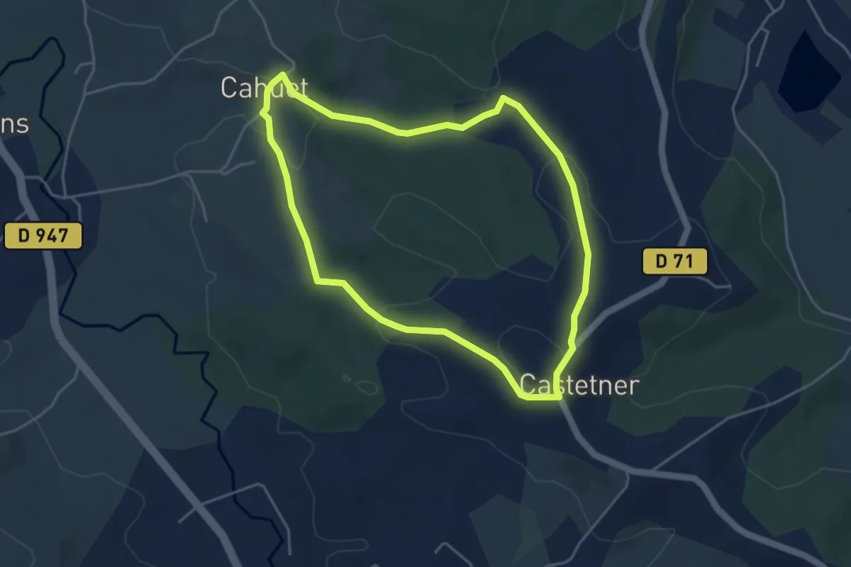
Easy · Trail
Vallon de Lasbéline
4.3 km · ↑ 106 m · 1 h 18 min · 4 km away
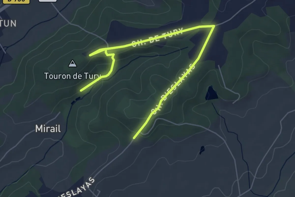
Easy · Trail
Chemin de Castagnas à Tury
6.5 km · ↑ 95 m · 1 h 44 min · 4 km away
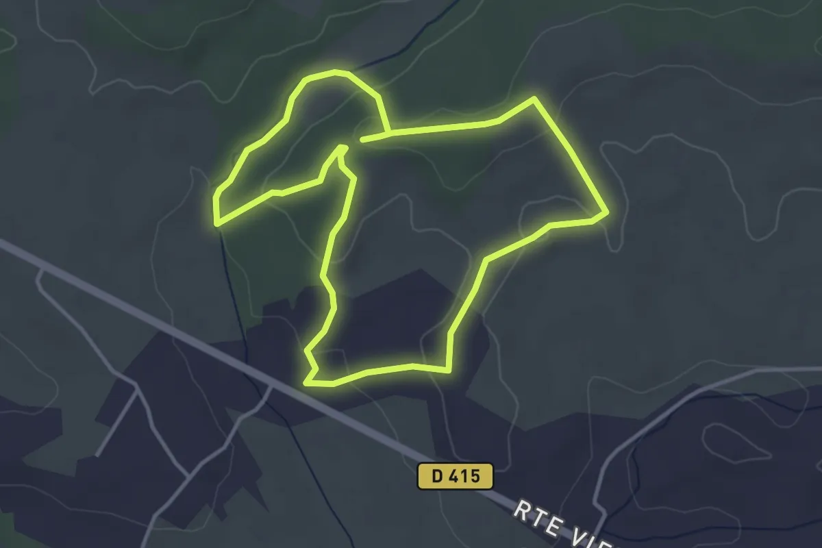
Easy · Trail
Circuit de Mounicq
3.8 km · ↑ 87 m · 1 h 8 min · 4 km away
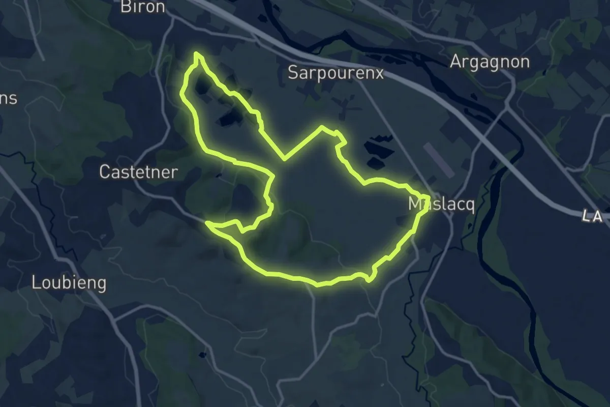
Medium · Trail
Circuit de randonnée Biron - Maslacq - Castetner
13.2 km · ↑ 140 m · 3 h 36 min · 6 km away
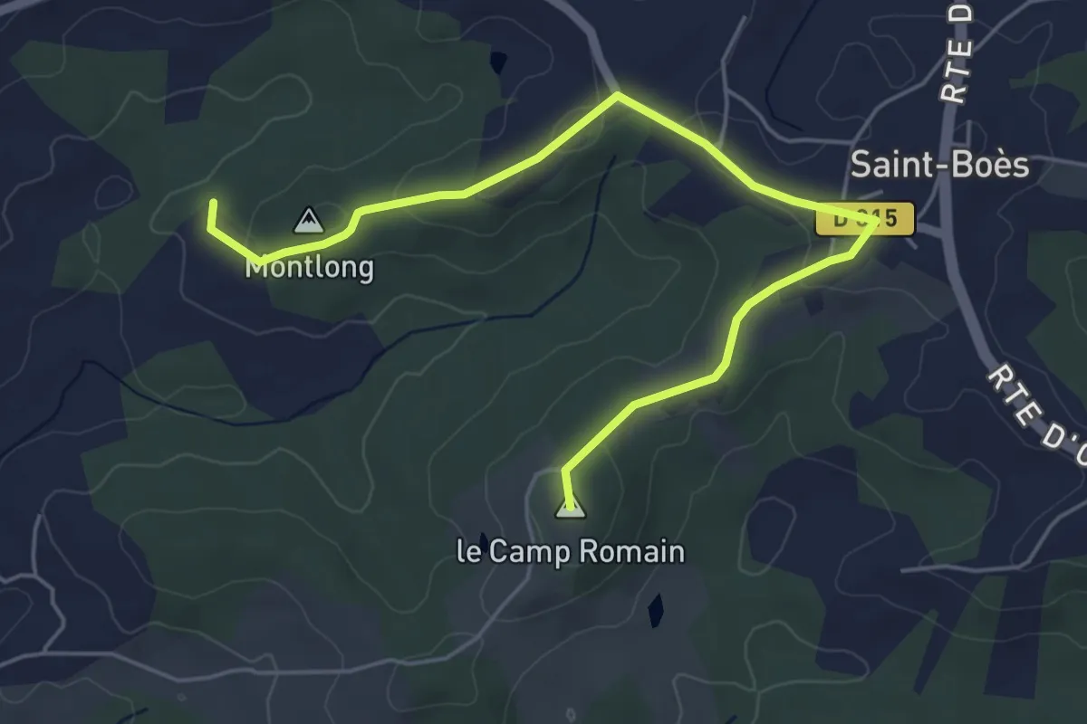
Easy · Summit
Boucle du Camp Romain de St-Boès
6.1 km · ↑ 108 m · 1 h 41 min · 6 km away
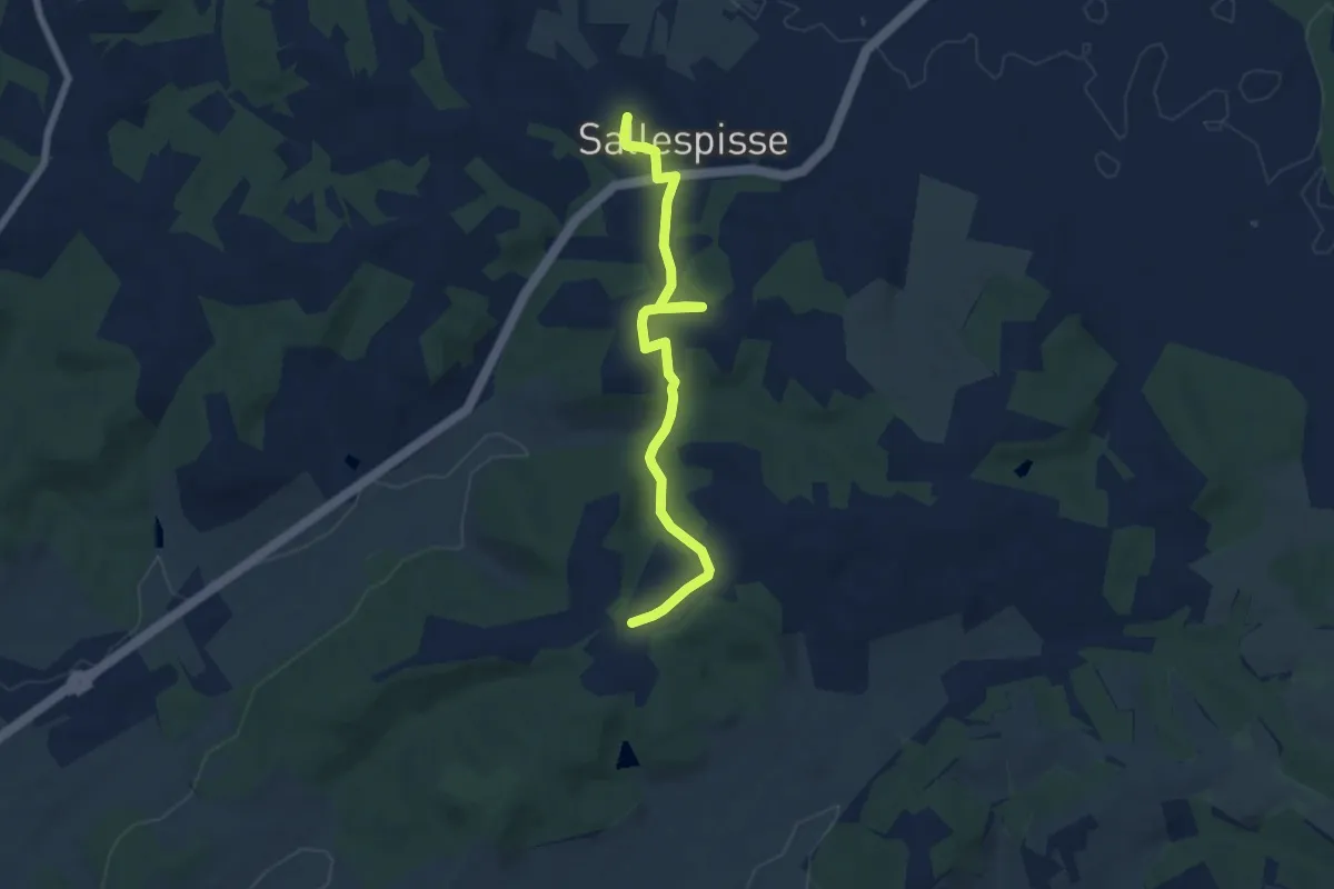
Easy · Trail
De Mulé au château de Salles
7.0 km · ↑ 134 m · 1 h 57 min · 6 km away
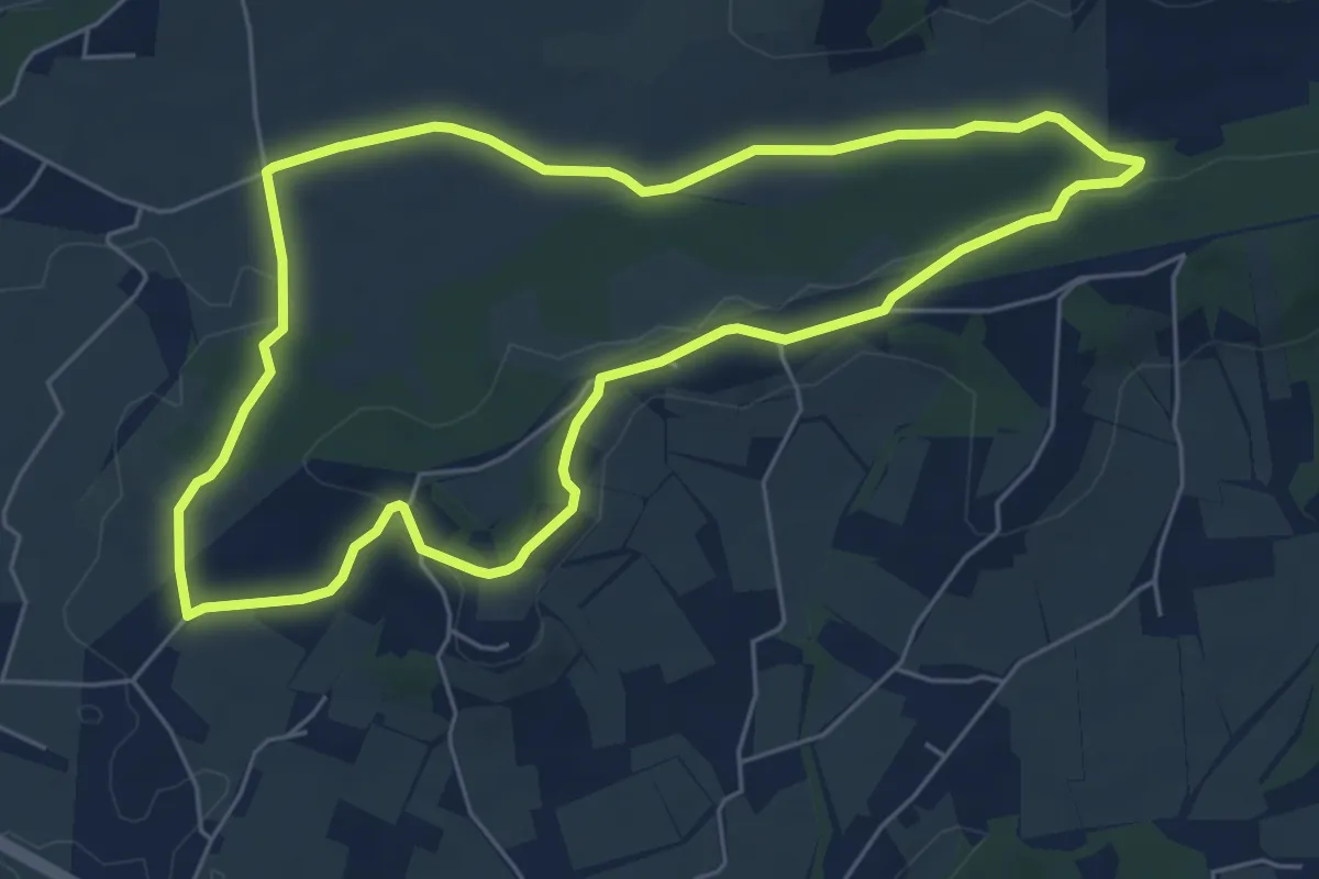
Easy · Trail
Circuit du Clamondé à Argagnon
6.2 km · ↑ 88 m · 1 h 44 min · 7 km away
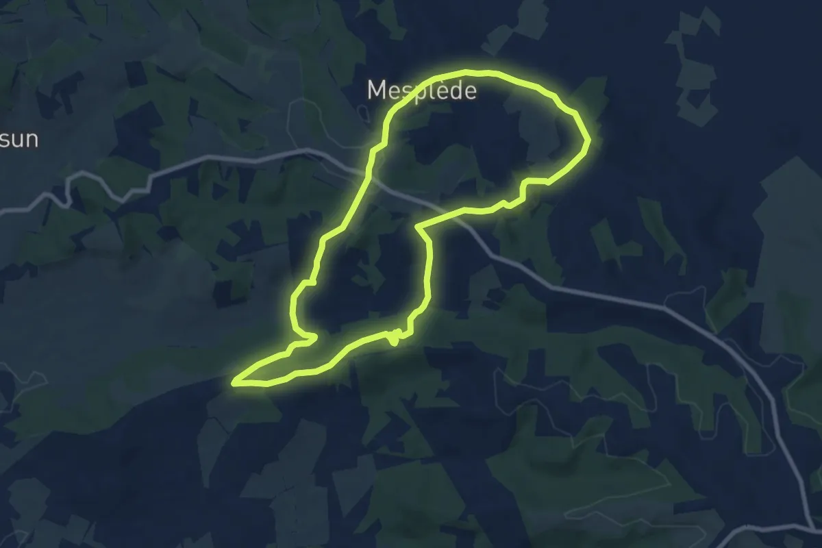
Medium · Trail
Randonnée : Tour de Mesplède
8.5 km · ↑ 238 m · 2 h 39 min · 9 km away
Medium · Trail
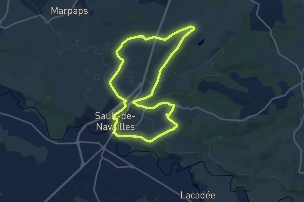
Les Coteaux d'Orthez
9.1 km · ↑ 126 m · 2 h 34 min · 11 km away
Demanding · Trail
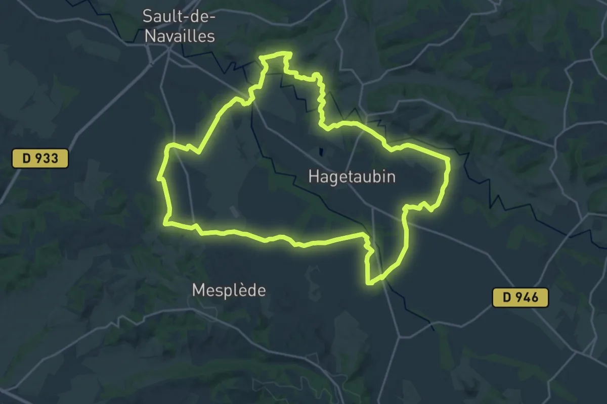
Circuit de randonnée : Vallée du Luy de Béarn (Hagetaubin / Lacadée)
23.9 km · ↑ 167 m · 6 h 20 min · 11 km away
Easy · Trail
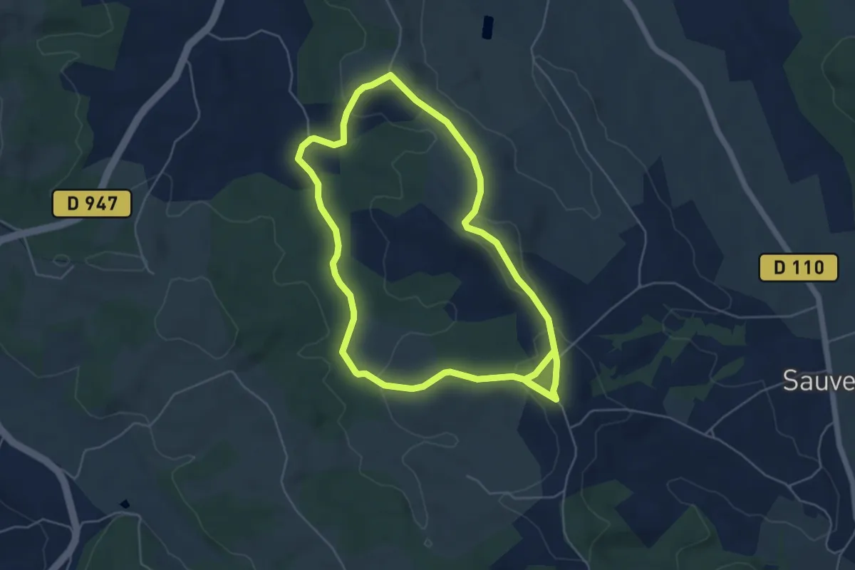
Vallon du Lalaas
5.5 km · ↑ 120 m · 1 h 39 min · 11 km away
Easy · Trail
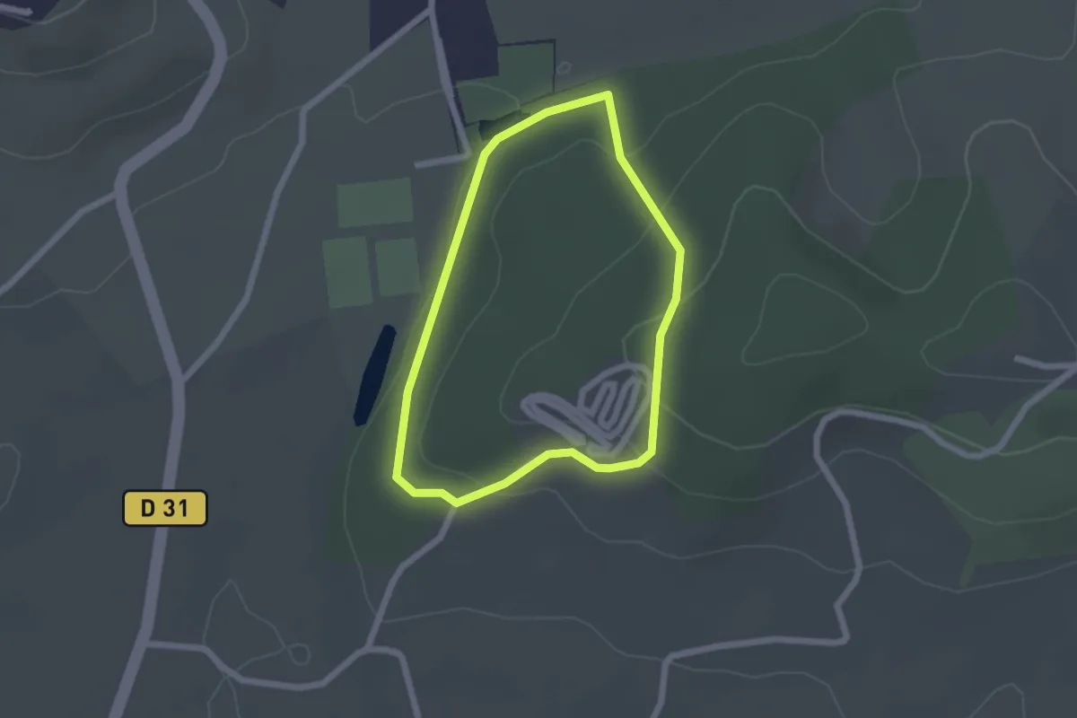
Promenade du bois de Canarde à Arthez
1.9 km · ↑ 56 m · 35 min · 13 km away
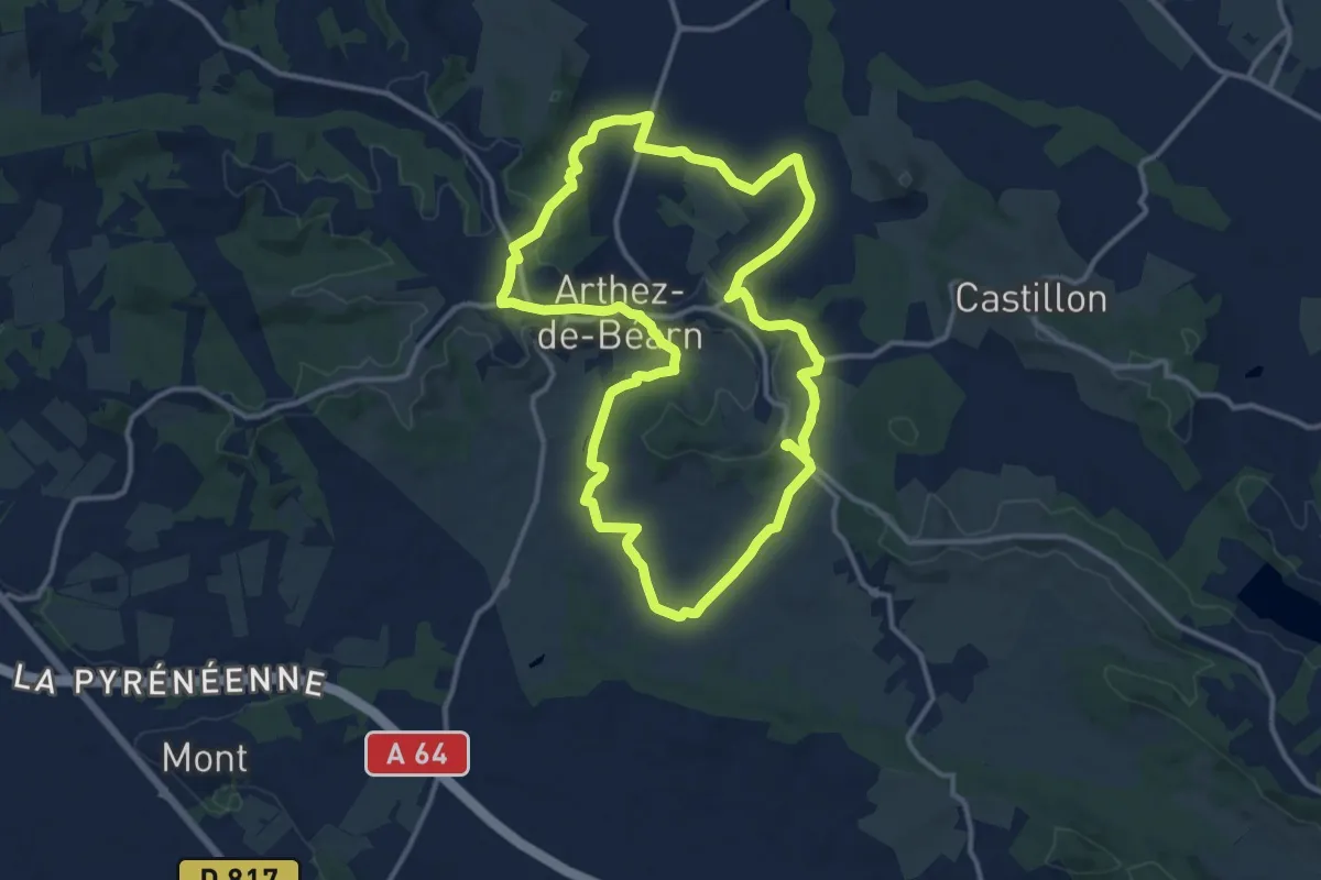
Medium · Trail
Les Trois Chapelles
13.6 km · ↑ 246 m · 3 h 56 min · 15 km away