Trails near Panazol
27 hikes starting within 15 km, nearest first.
Nearest first
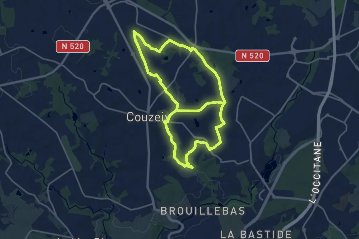
Medium · Trail
Circuit des Villageois
11.0 km · ↑ 117 m · 3 h · 6 km away
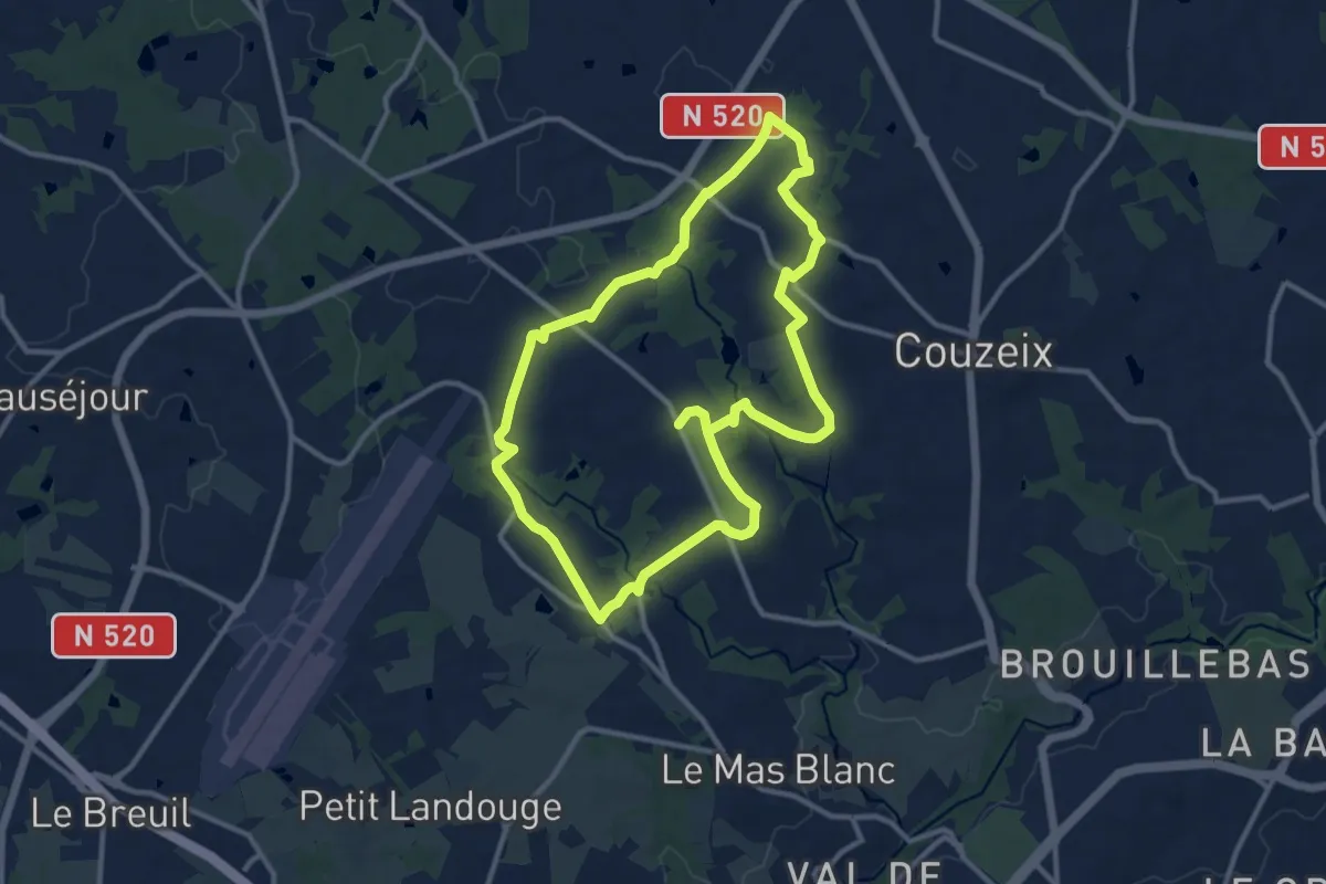
Medium · Trail
Circuit des Cavaliers
11.1 km · ↑ 119 m · 3 h 2 min · 8 km away
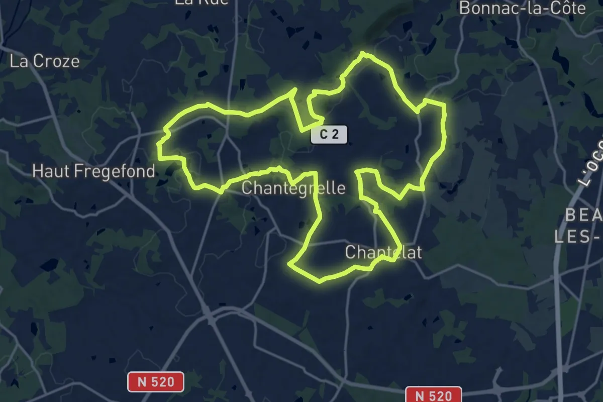
Medium · Trail
Circuit de la colline catalacoise
17.5 km · ↑ 239 m · 4 h 54 min · 9 km away
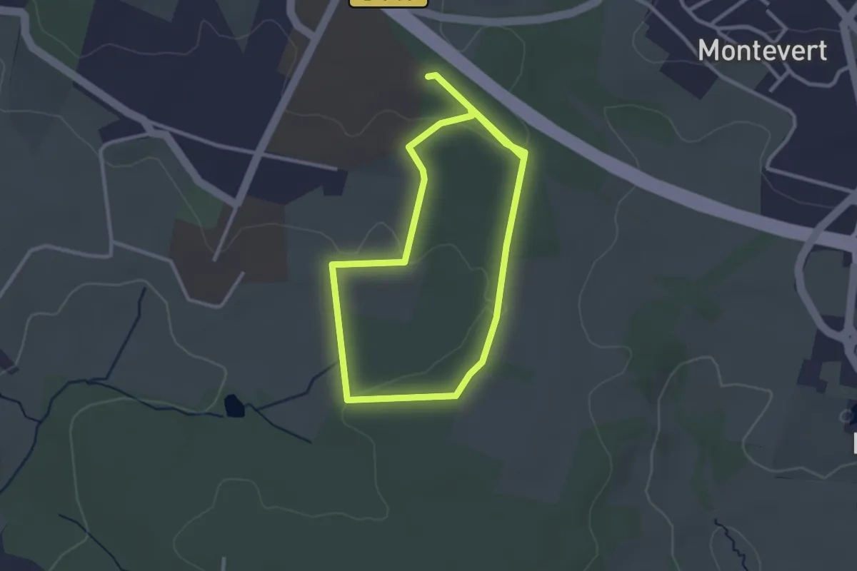
Easy · Trail
Les Vaseix - Promenade de Chamberet
2.8 km · ↑ 32 m · 47 min · 10 km away
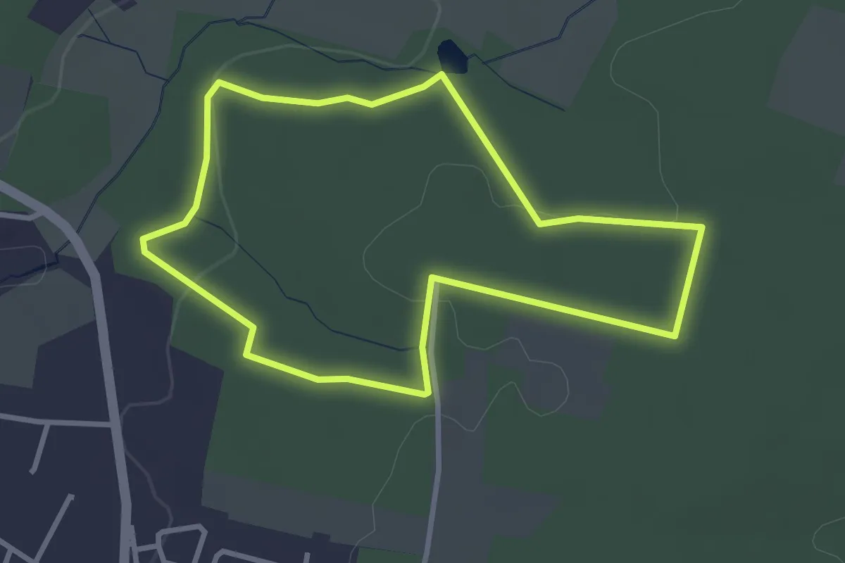
Easy · Trail
Les Vaseix - Promenade de l'Étang
2.9 km · ↑ 40 m · 49 min · 10 km away
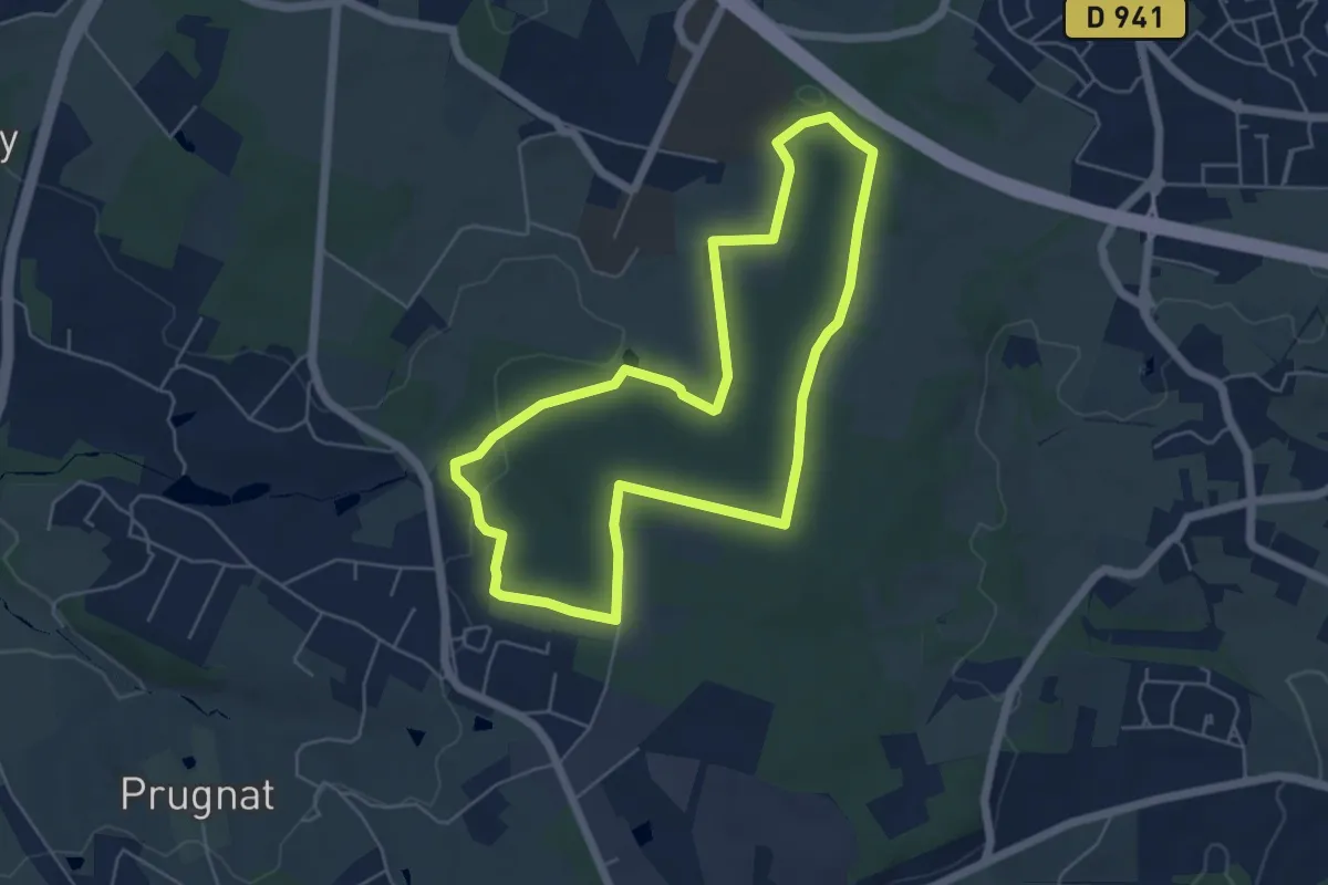
Easy · Trail
Les Vaseix - Tour du Grand Bois
5.4 km · ↑ 76 m · 1 h 31 min · 10 km away
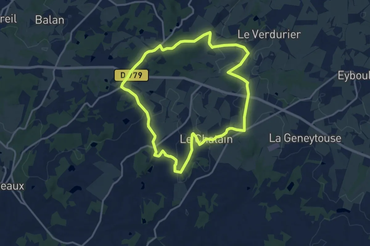
Medium · Trail
Chemin de l’âme de l’âne au Rio Négro
9.9 km · ↑ 152 m · 2 h 48 min · 11 km away
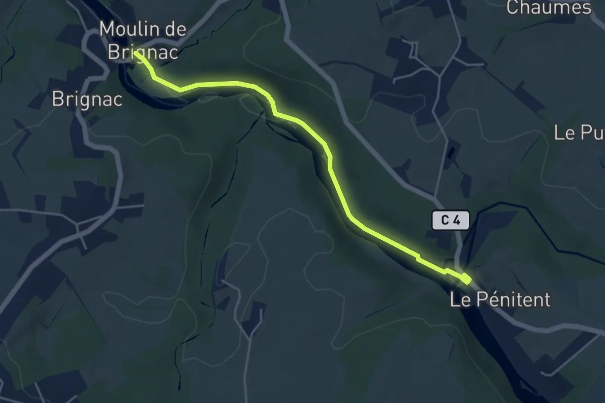
Easy · Trail
Sentier de Brignac au Moulin du Got
4.2 km · ↑ 33 m · 1 h 4 min · 11 km away
Medium · Trail
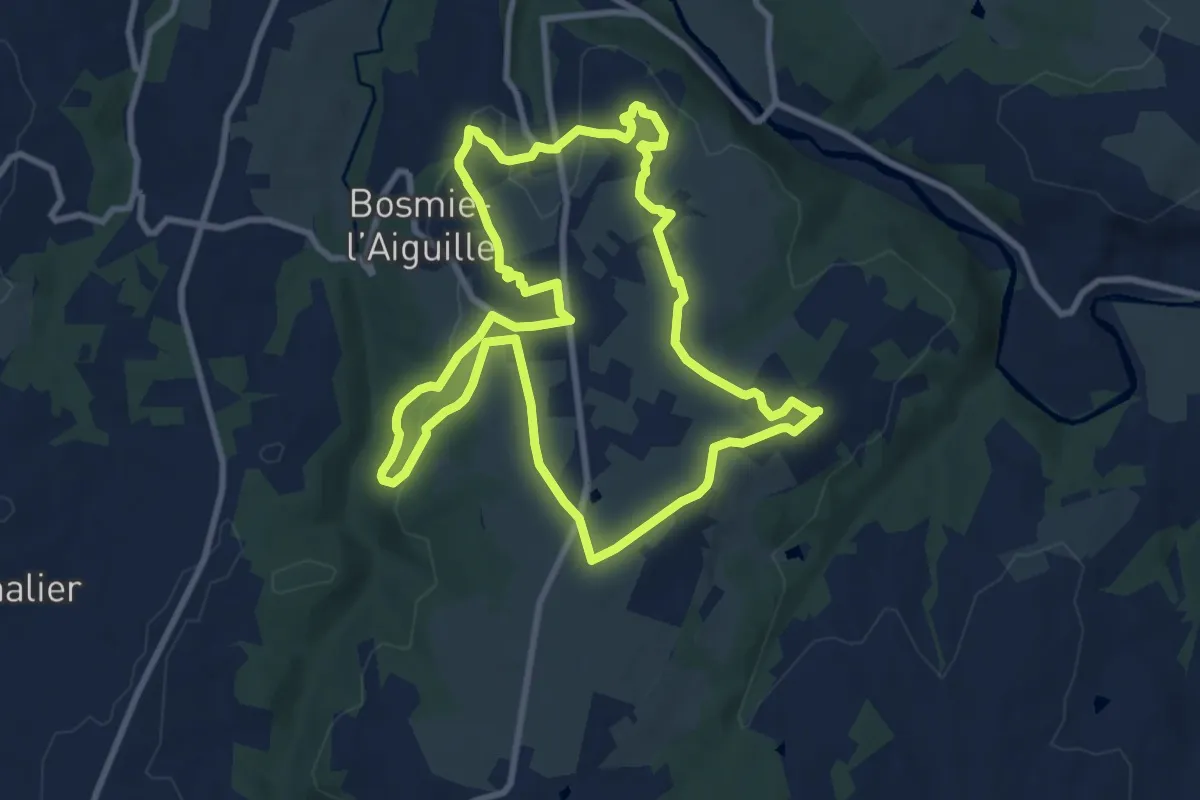
Sentier de Plein-Ciel
9.6 km · ↑ 171 m · 2 h 46 min · 11 km away
Demanding · Trail
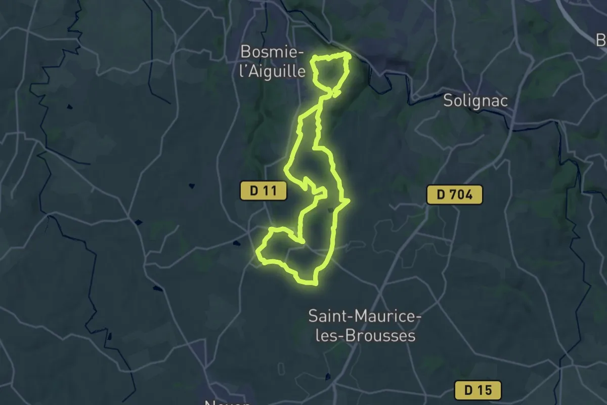
Sentier de Saint-Roch
21.3 km · ↑ 476 m · 6 h 20 min · 11 km away
Easy · Trail
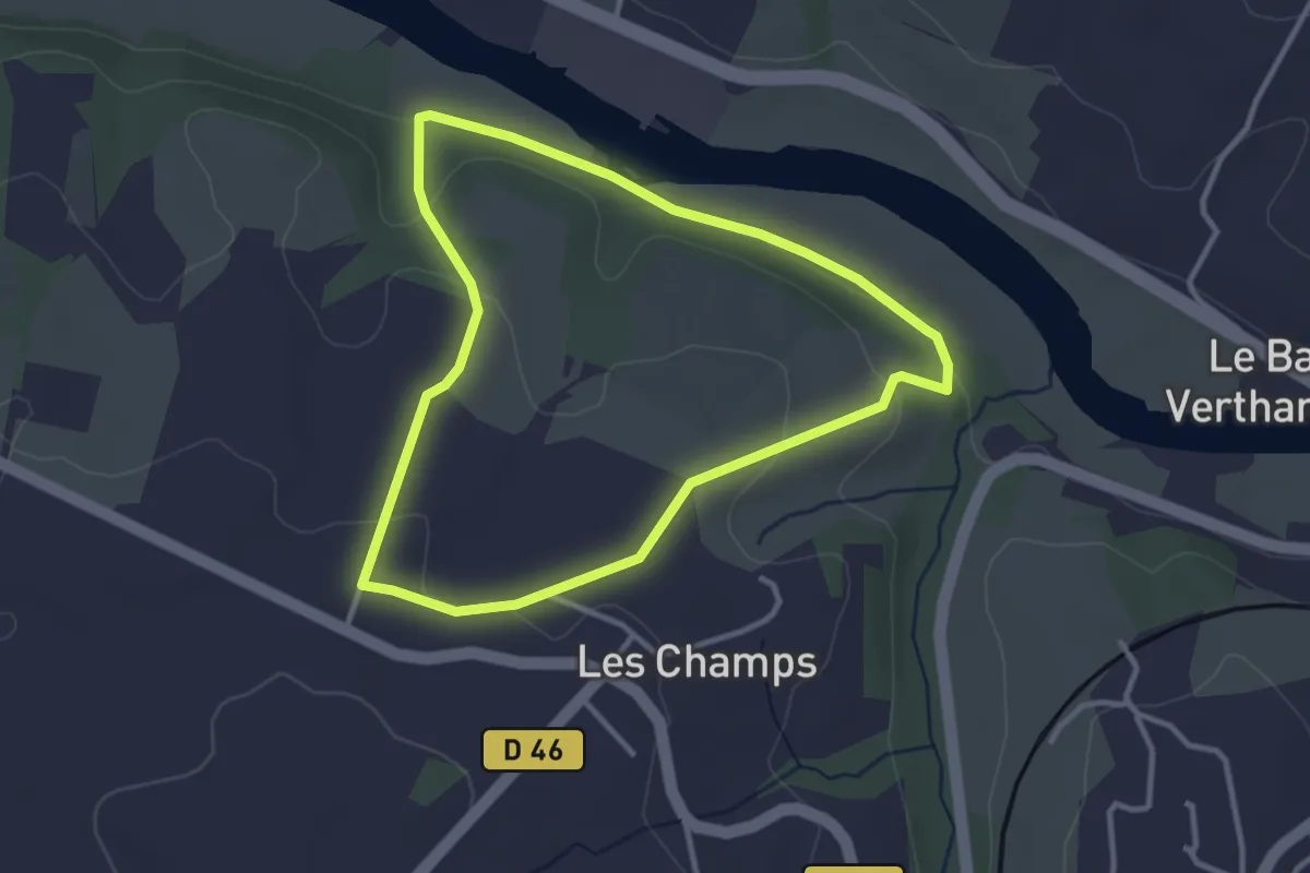
Circuit des Écureuils
3.1 km · ↑ 71 m · 56 min · 11 km away
Medium · Trail
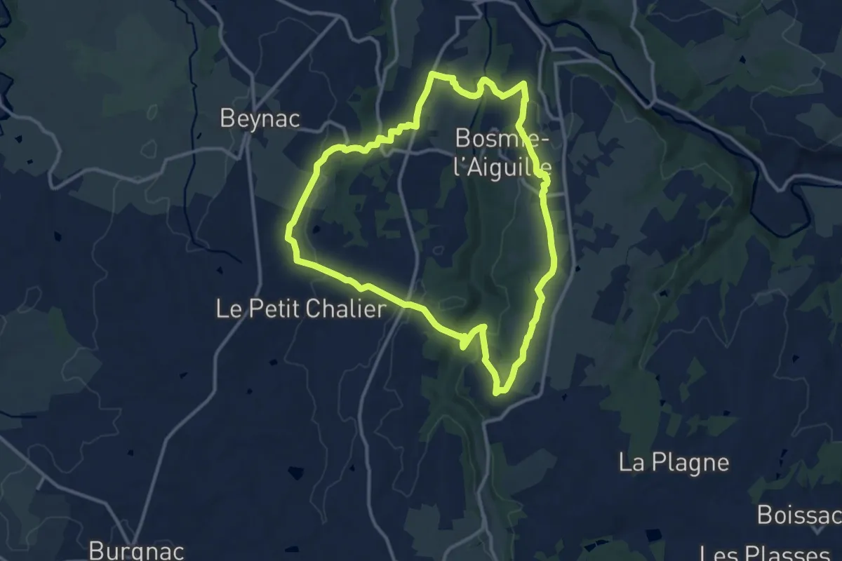
Sentier des Écrevisses
11.7 km · ↑ 224 m · 3 h 25 min · 11 km away
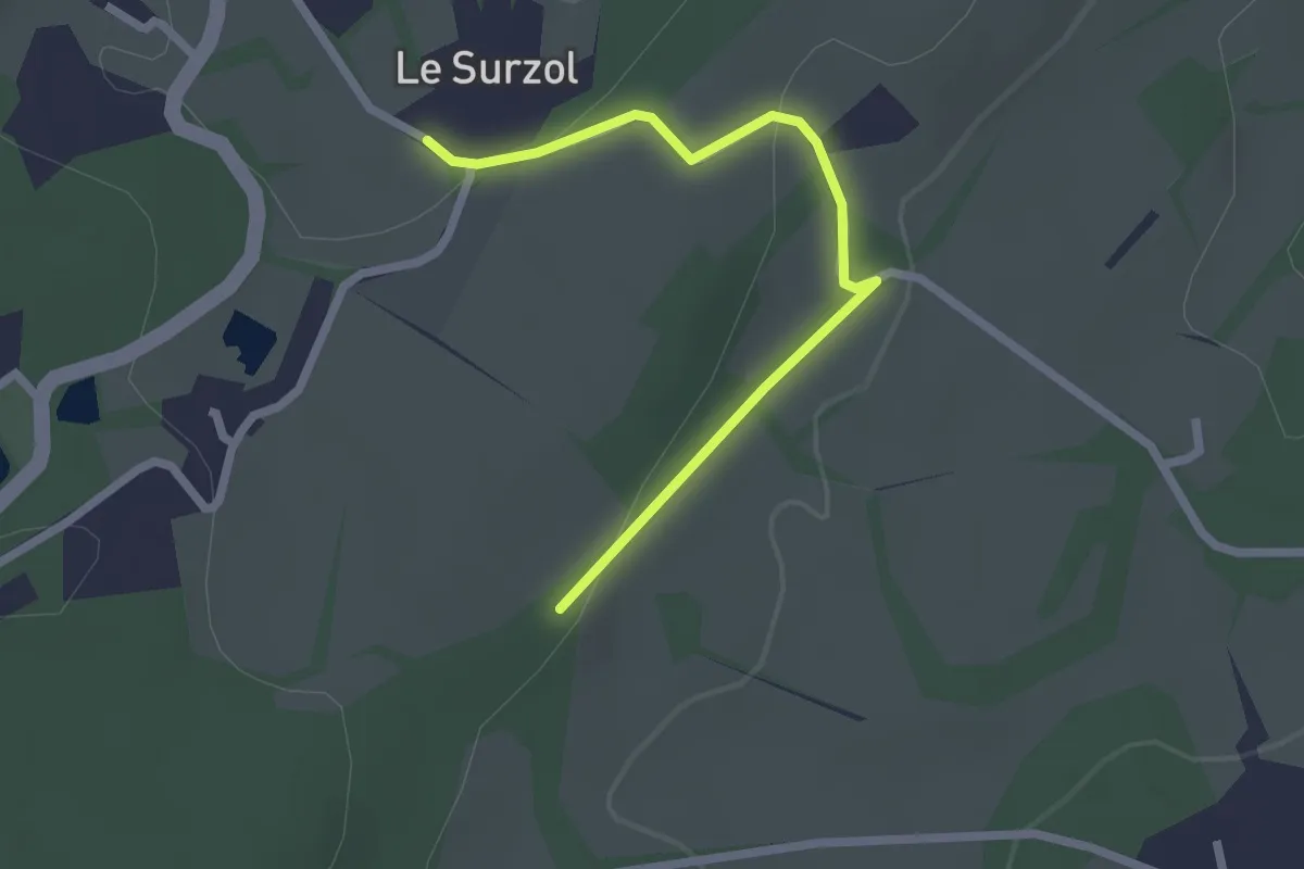
Easy · Trail
Liaison entre circuits : Circuit des clochers et des étangs et le Chemin de l’âme de l’âne au Rio Négro
2.3 km · ↑ 49 m · 39 min · 11 km away
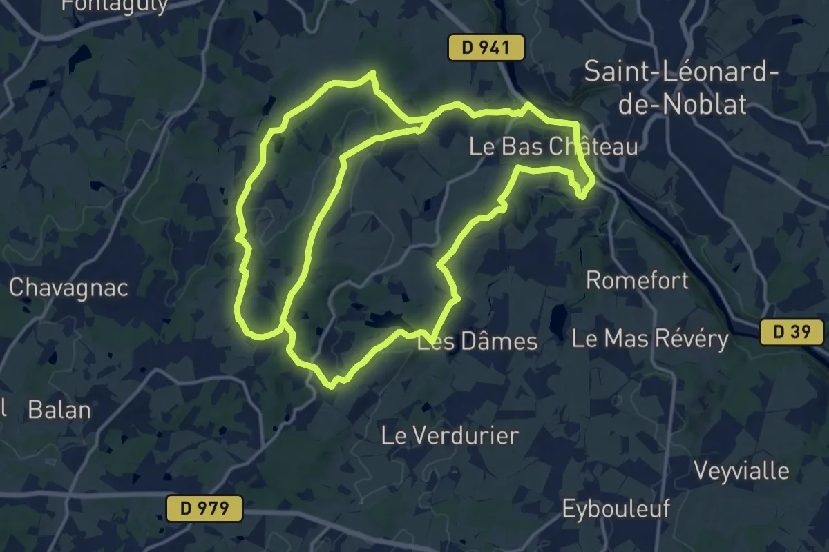
Medium · Trail
Circuit des clochers et des étangs
16.9 km · ↑ 400 m · 5 h 3 min · 12 km away
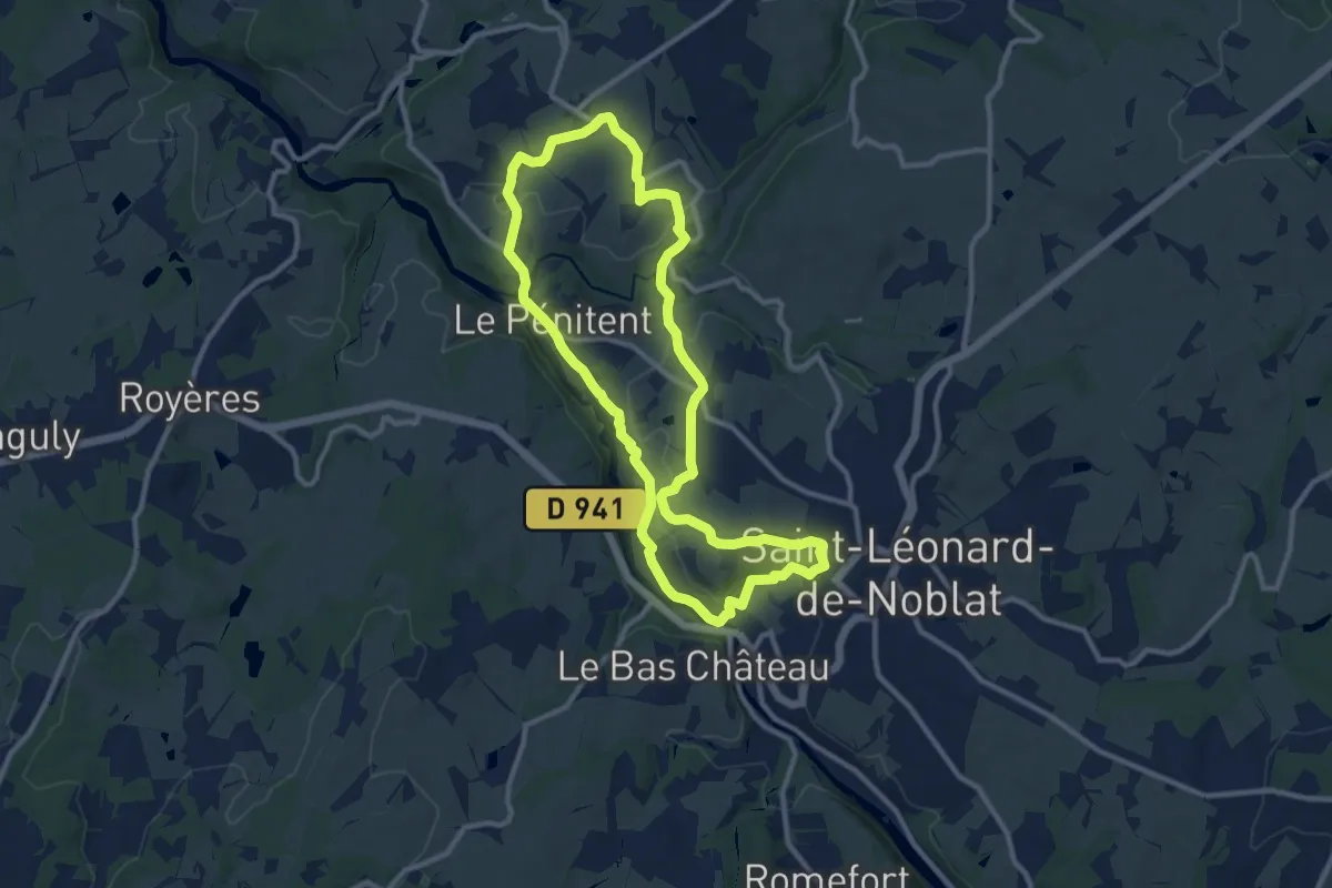
Medium · Trail
Circuit entre Vienne et Tard
10.5 km · ↑ 215 m · 3 h 6 min · 12 km away
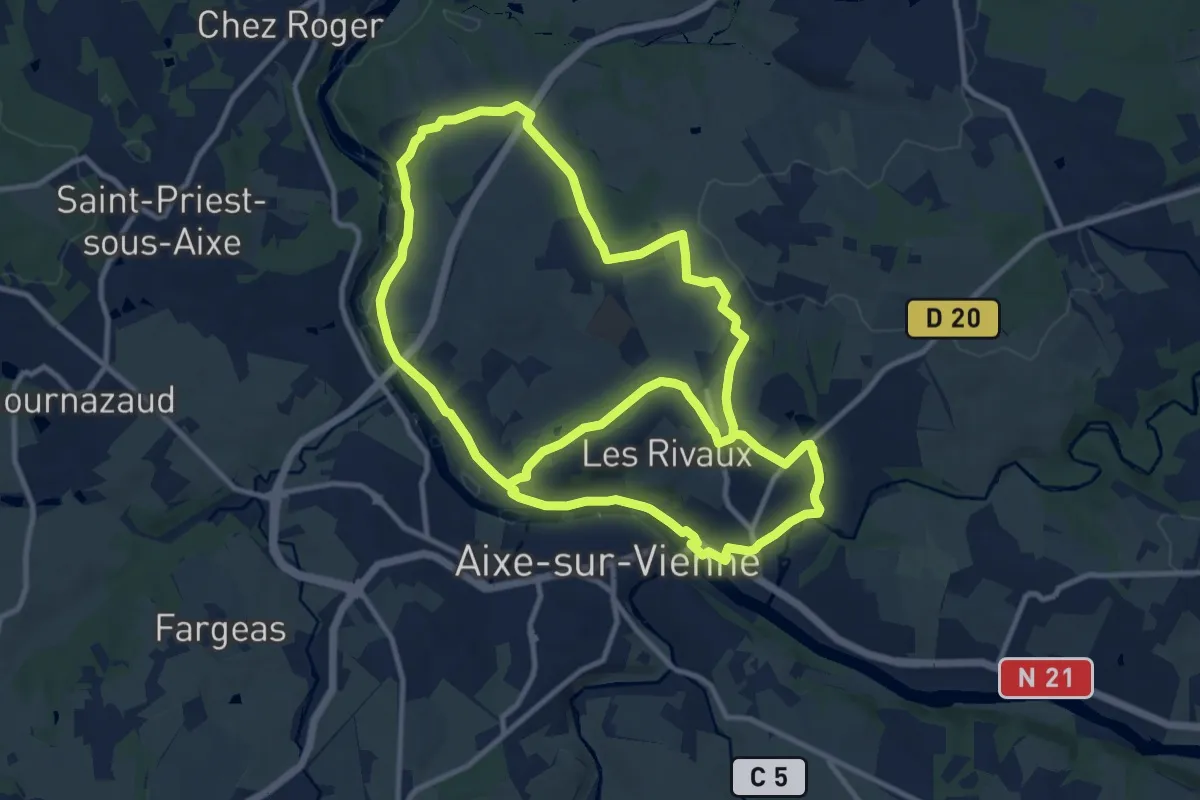
Medium · Trail
Circuit Puys et Vallées en Pays d'Aixe
12.1 km · ↑ 157 m · 3 h 24 min · 13 km away
Medium · Trail
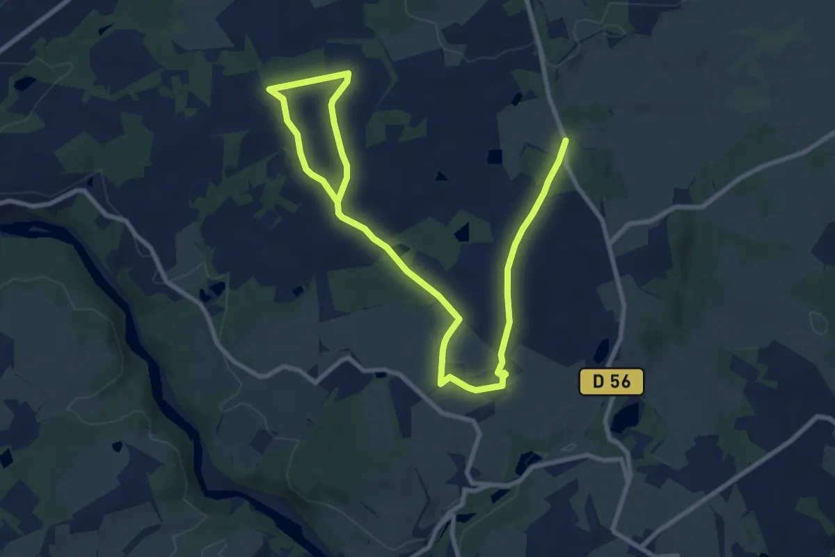
Chemin de Caux-La Mazière
12.0 km · ↑ 186 m · 3 h 15 min · 13 km away
Easy · Trail
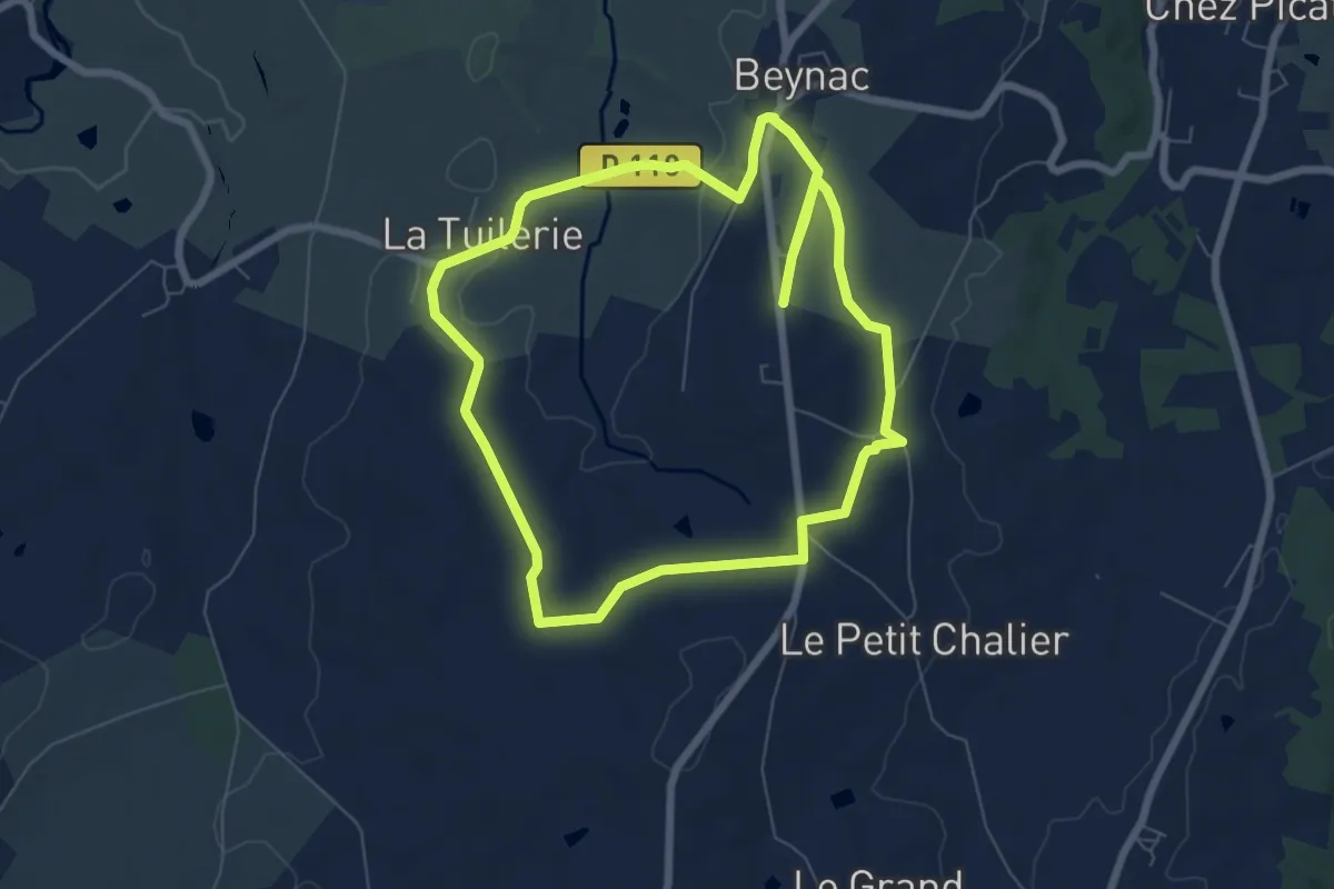
Les Hauts de Beynac
7.1 km · ↑ 103 m · 2 h · 13 km away
Easy · Trail
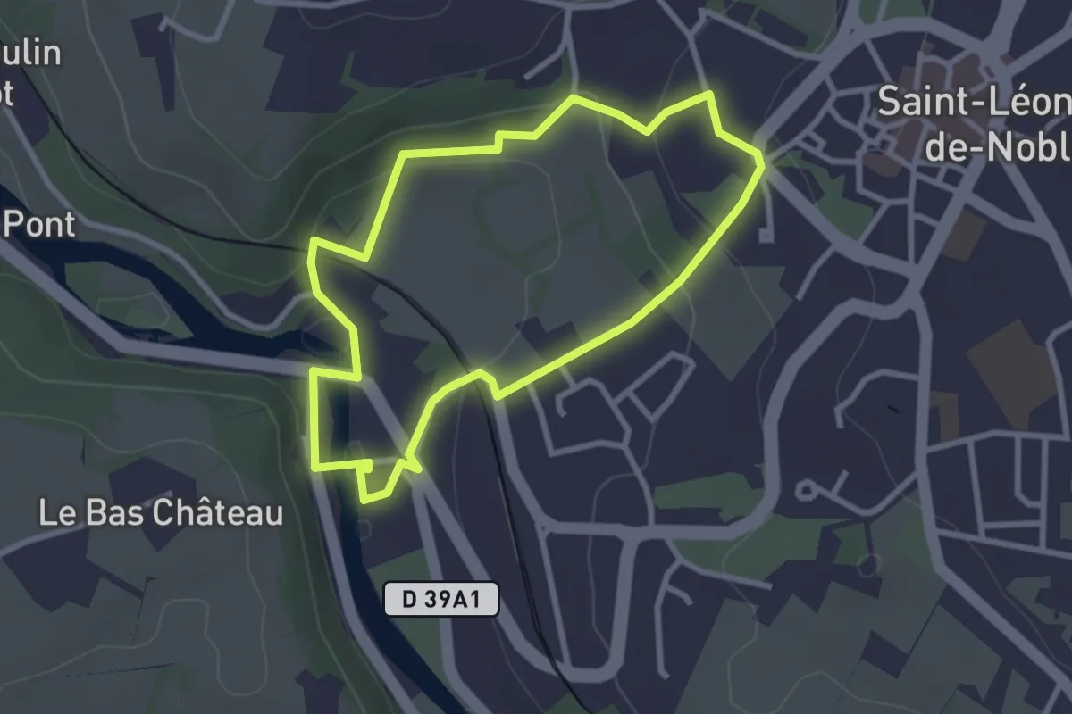
Faubourg du Pont de Noblat
2.7 km · ↑ 86 m · 51 min · 13 km away
Demanding · Trail
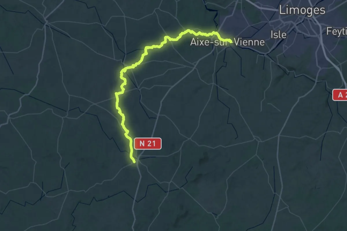
Voie de Vézelay, Aixe-sur-Vienne - Châlus
36.9 km · ↑ 558 m · 10 h 21 min · 13 km away
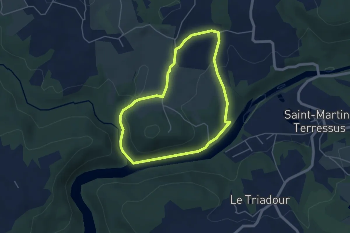
Easy · Trail
Boucle du Parleur
3.7 km · ↑ 71 m · 1 h 5 min · 14 km away
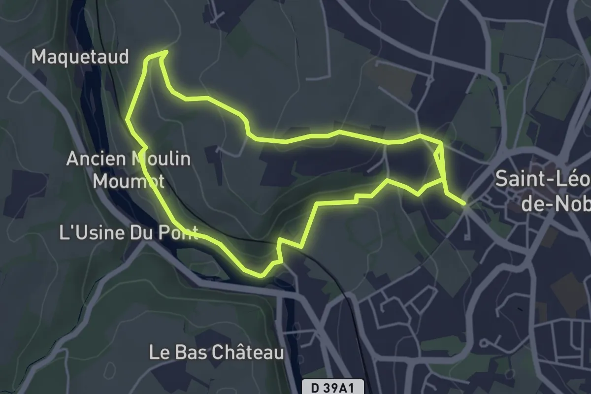
Medium · Trail
Circuit de Noblat
8.1 km · ↑ 178 m · 2 h 18 min · 14 km away
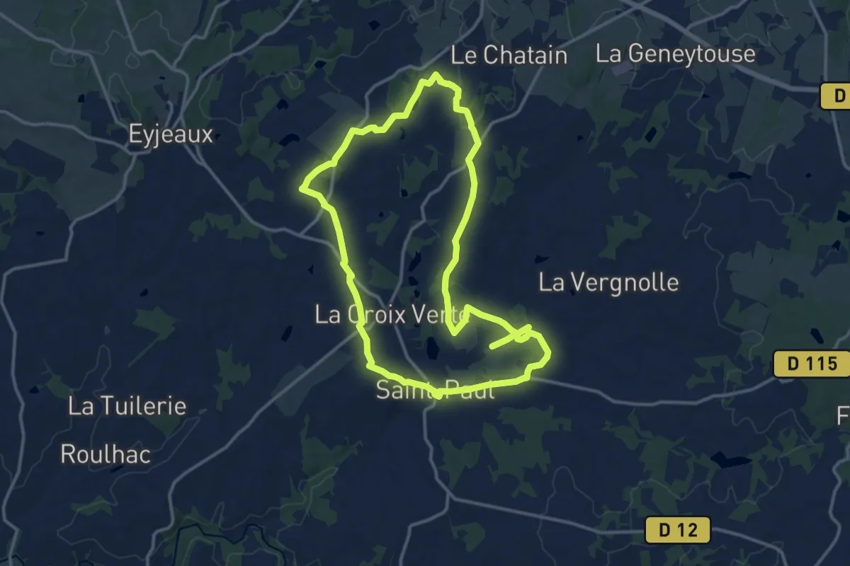
Demanding · Trail
Sentier du Menhir
25.5 km · ↑ 402 m · 6 h 54 min · 14 km away
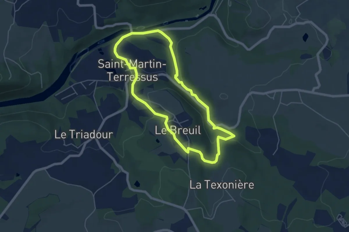
Easy · Trail
Boucle du Seigneur
4.7 km · ↑ 130 m · 1 h 28 min · 14 km away
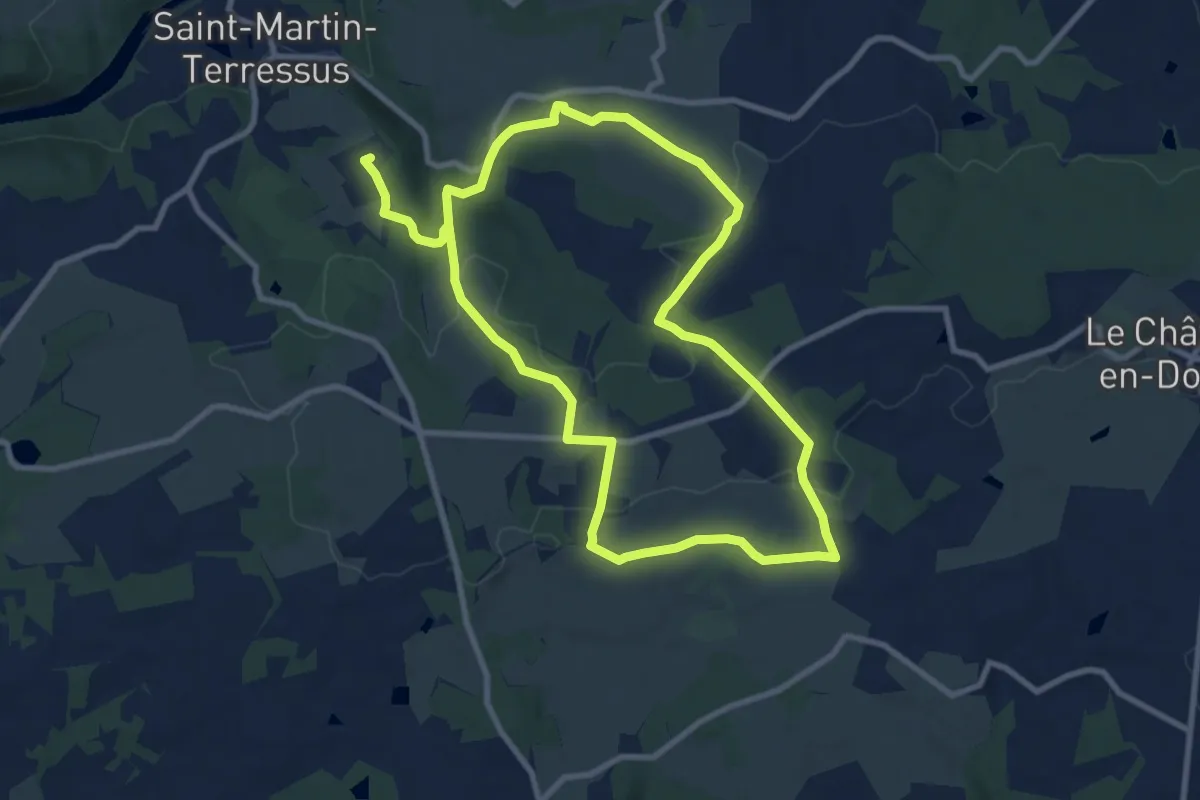
Demanding · Trail
Boucle des Châteaux
18.1 km · ↑ 294 m · 4 h 54 min · 14 km away
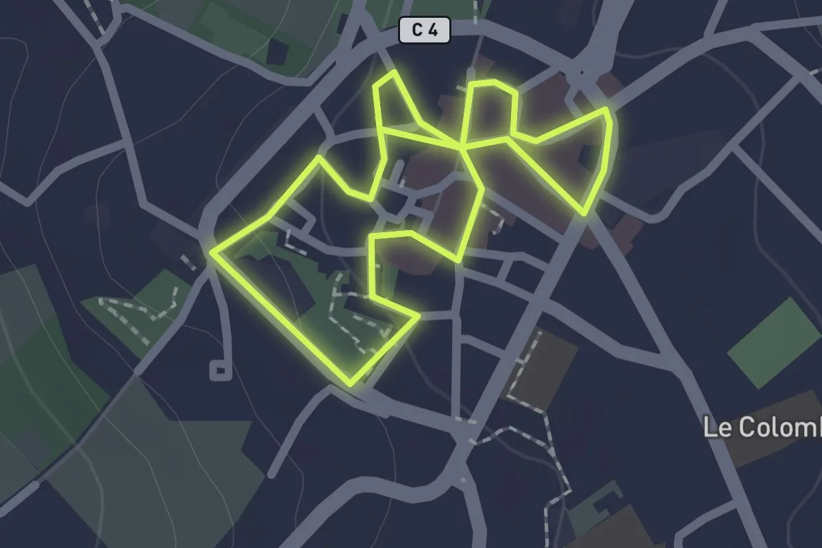
Easy · Trail
Tour de ville - Coueur historique
1.7 km · ↑ 20 m · 28 min · 14 km away
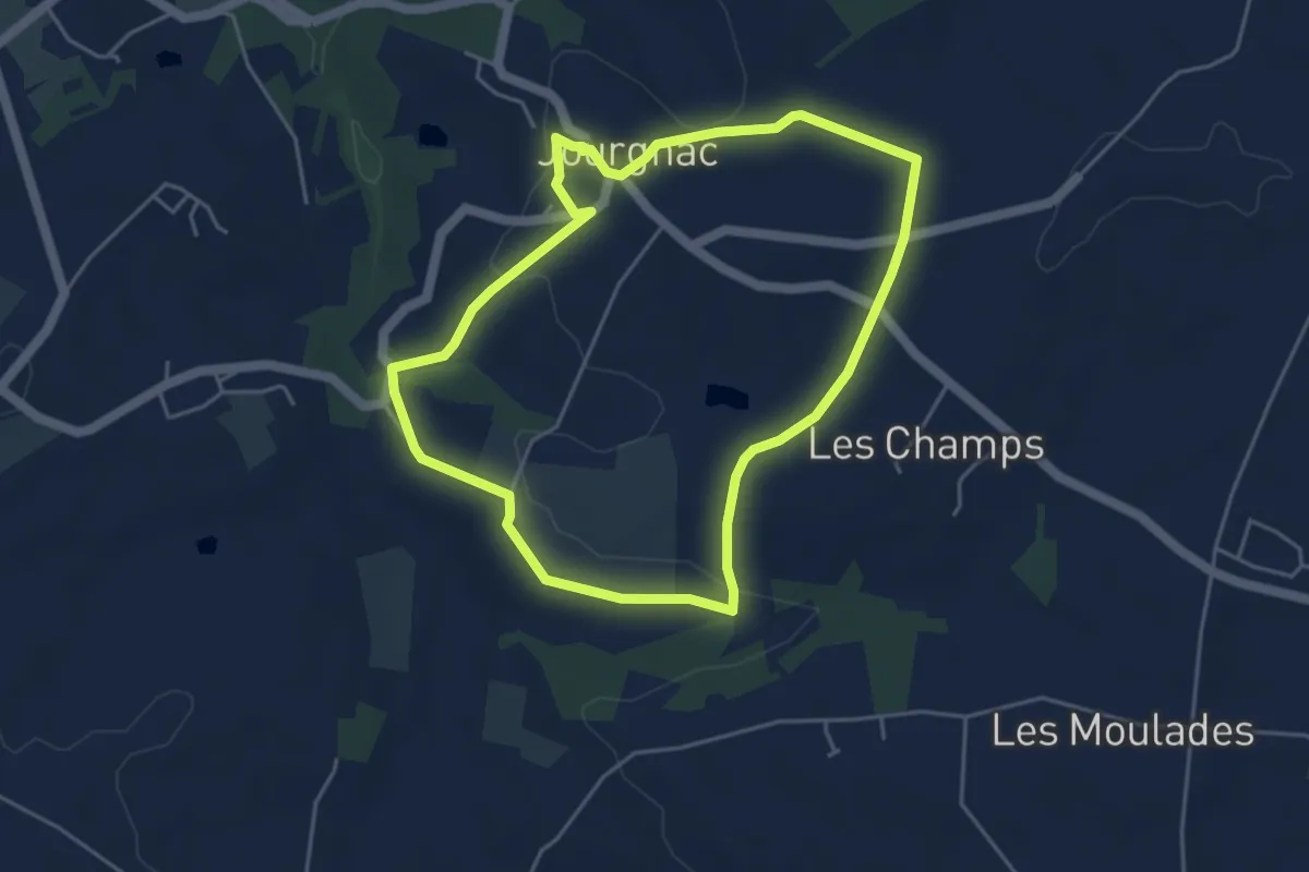
Easy · Trail
Chemin des Écoliers
4.5 km · ↑ 103 m · 1 h 20 min · 15 km away