Trails near Passy
34 hikes starting within 15 km, nearest first.
Nearest first
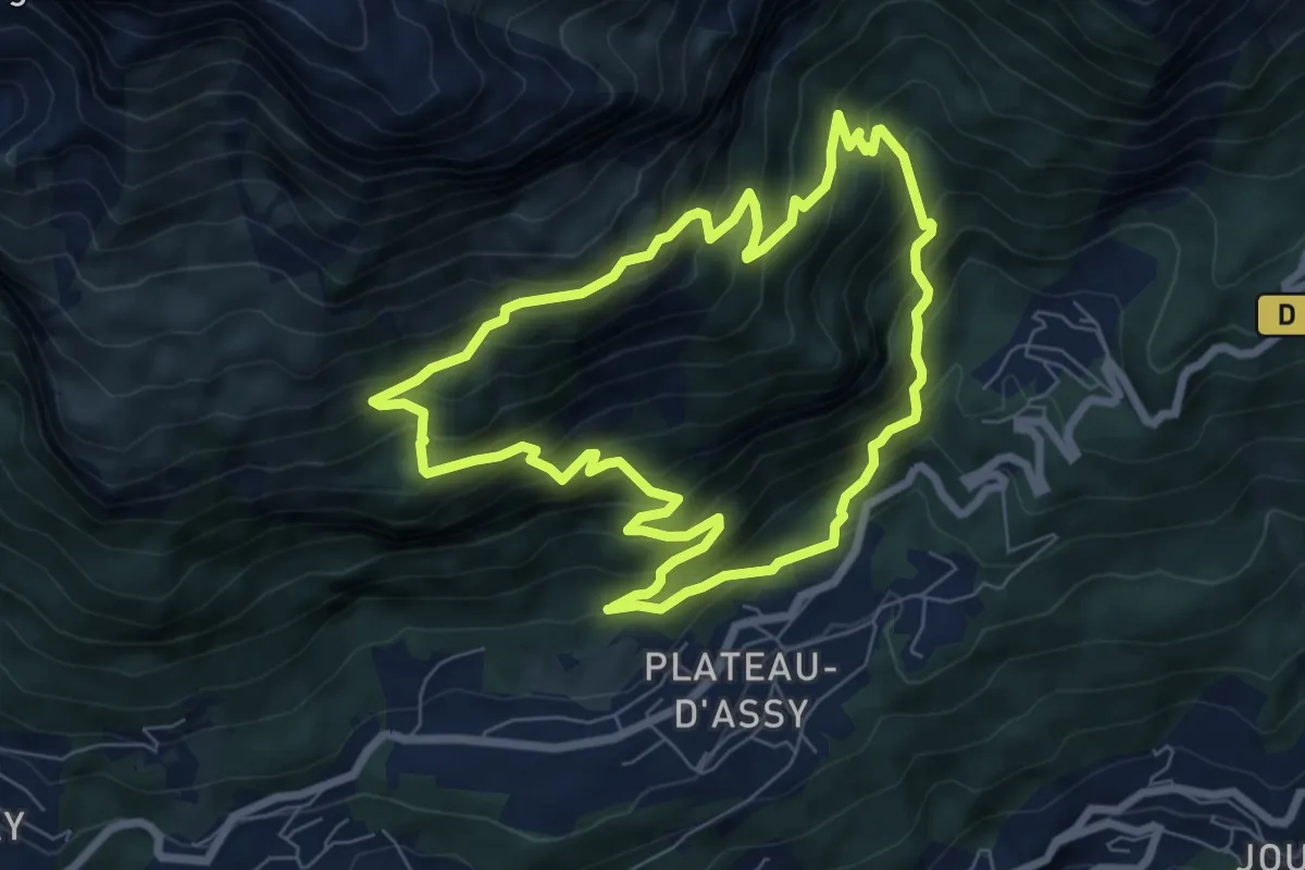
Medium · Trail
Boucle des Balcons d'Assy
7.1 km · ↑ 655 m · 3 h 11 min · 2 km away
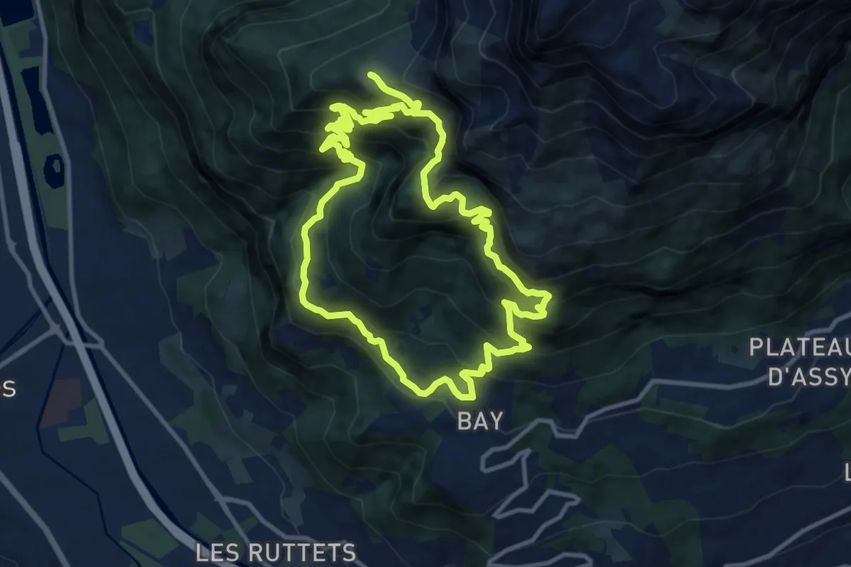
Demanding · Trail
Les alpages du Lachat d'en Haut
10.7 km · ↑ 1057 m · 4 h 58 min · 3 km away
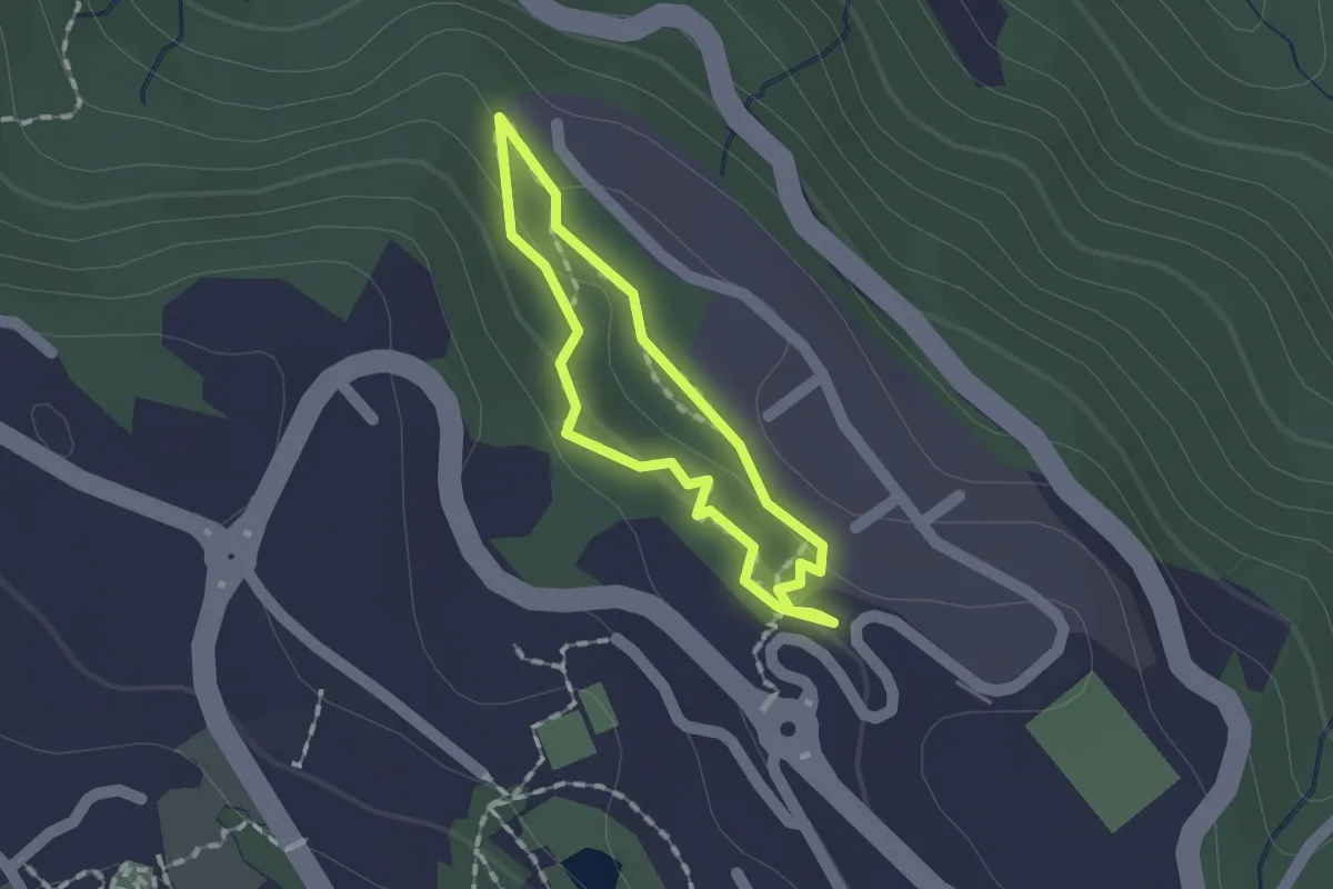
Easy · Trail
Sentier pédestre des Graniteurs
1.1 km · ↑ 44 m · 23 min · 4 km away
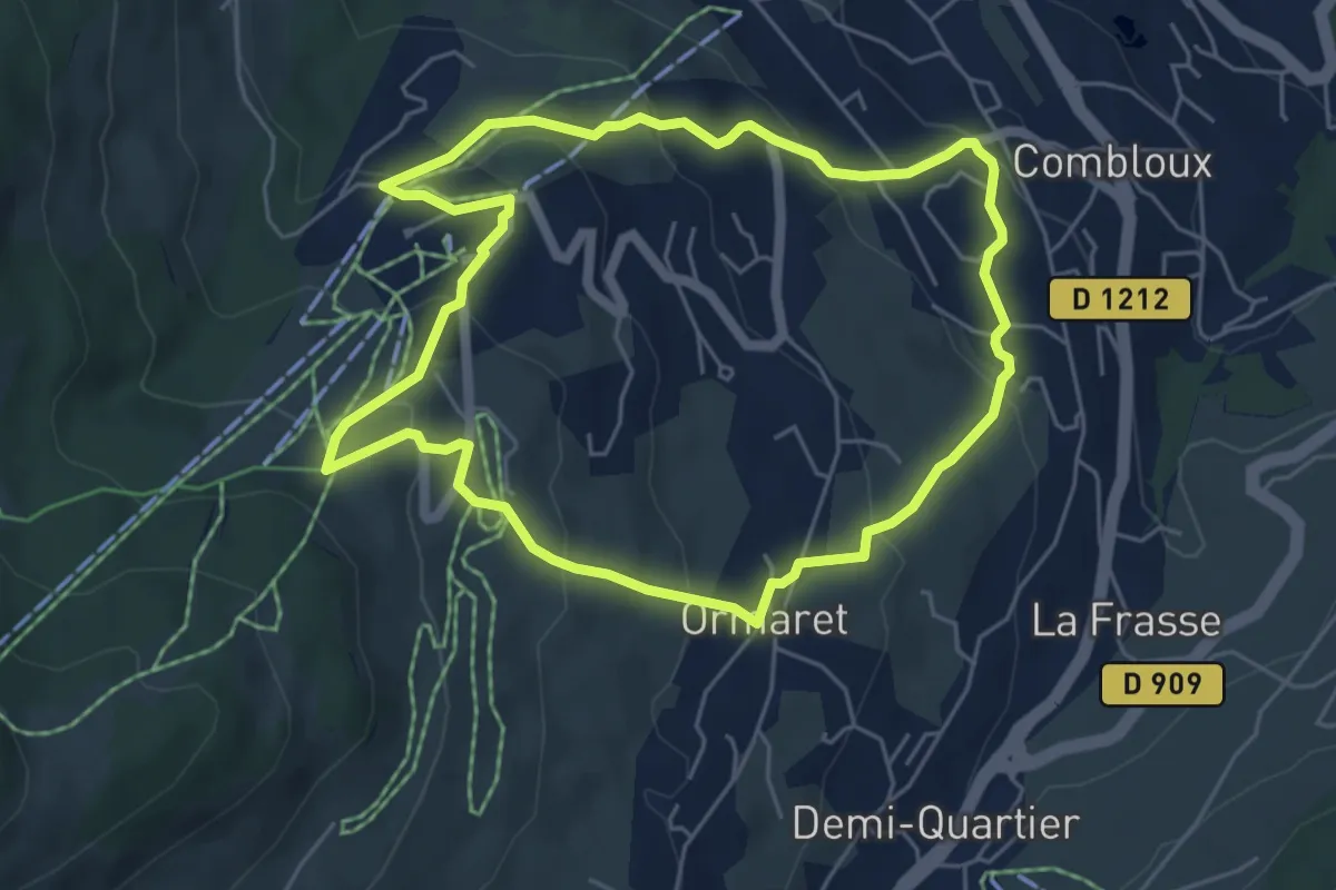
Easy · Trail
Balade panoramique du Haut-Combloux
5.4 km · ↑ 268 m · 1 h 56 min · 6 km away
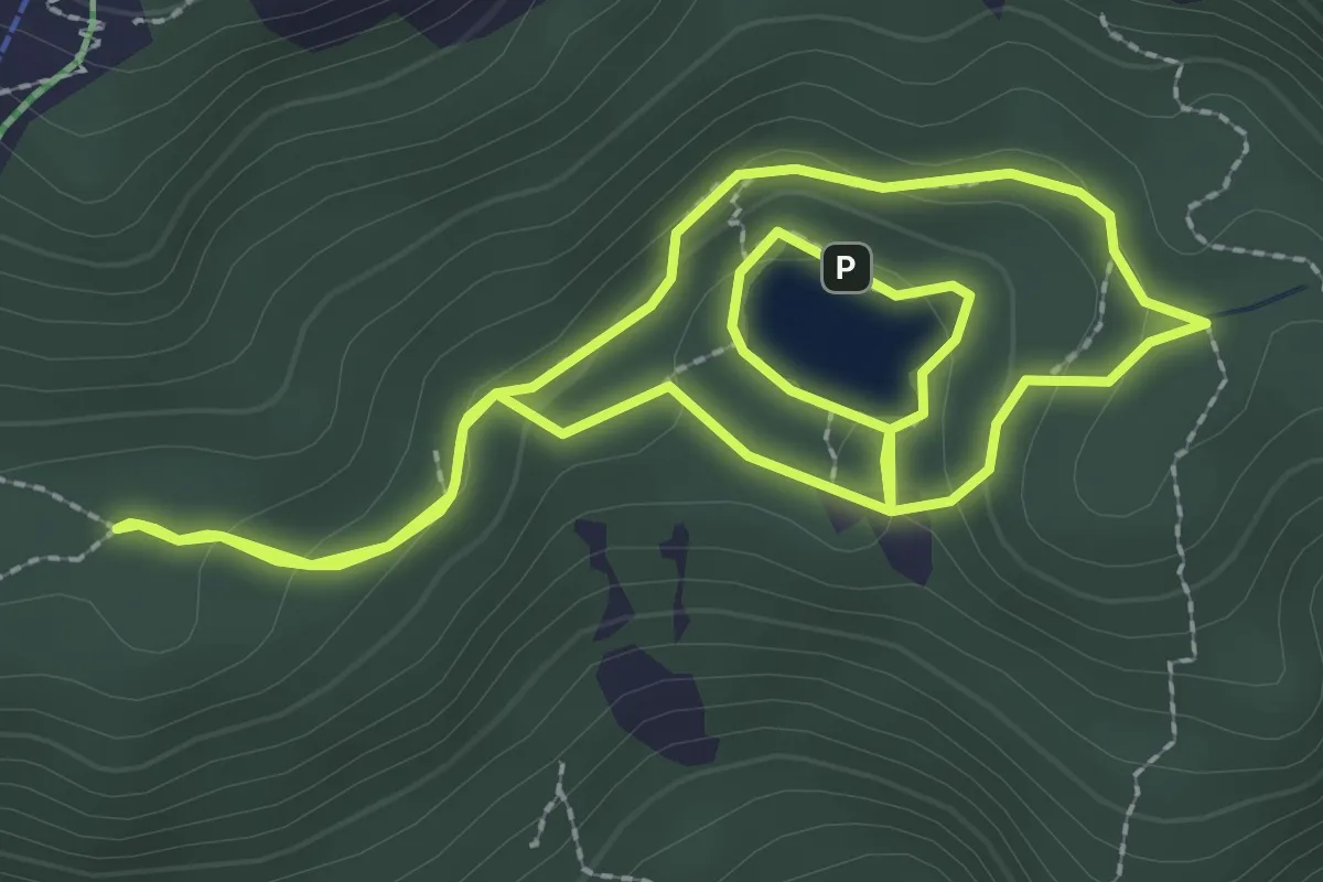
Medium · Trail
Boucle du Lac Vert
2.7 km · ↑ 97 m · 53 min · 6 km away
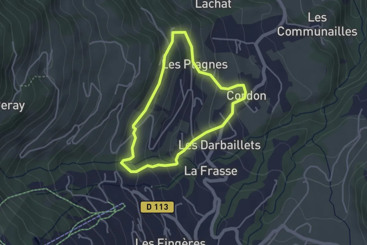
Easy · Trail
Petite Boucle de la Plagne - Été
2.8 km · ↑ 147 m · 1 h 1 min · 6 km away
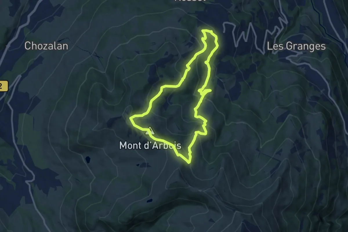
Medium · Summit
Le Bettex - Arbois
8.8 km · ↑ 524 m · 3 h 20 min · 8 km away
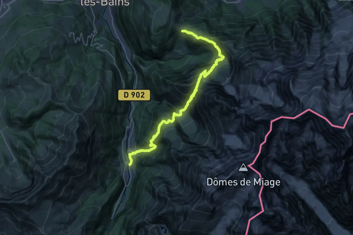
Demanding · Trail
Tour Du Mont Blanc - Variante du Col de Tricot
13.0 km · ↑ 890 m · 5 h 26 min · 8 km away
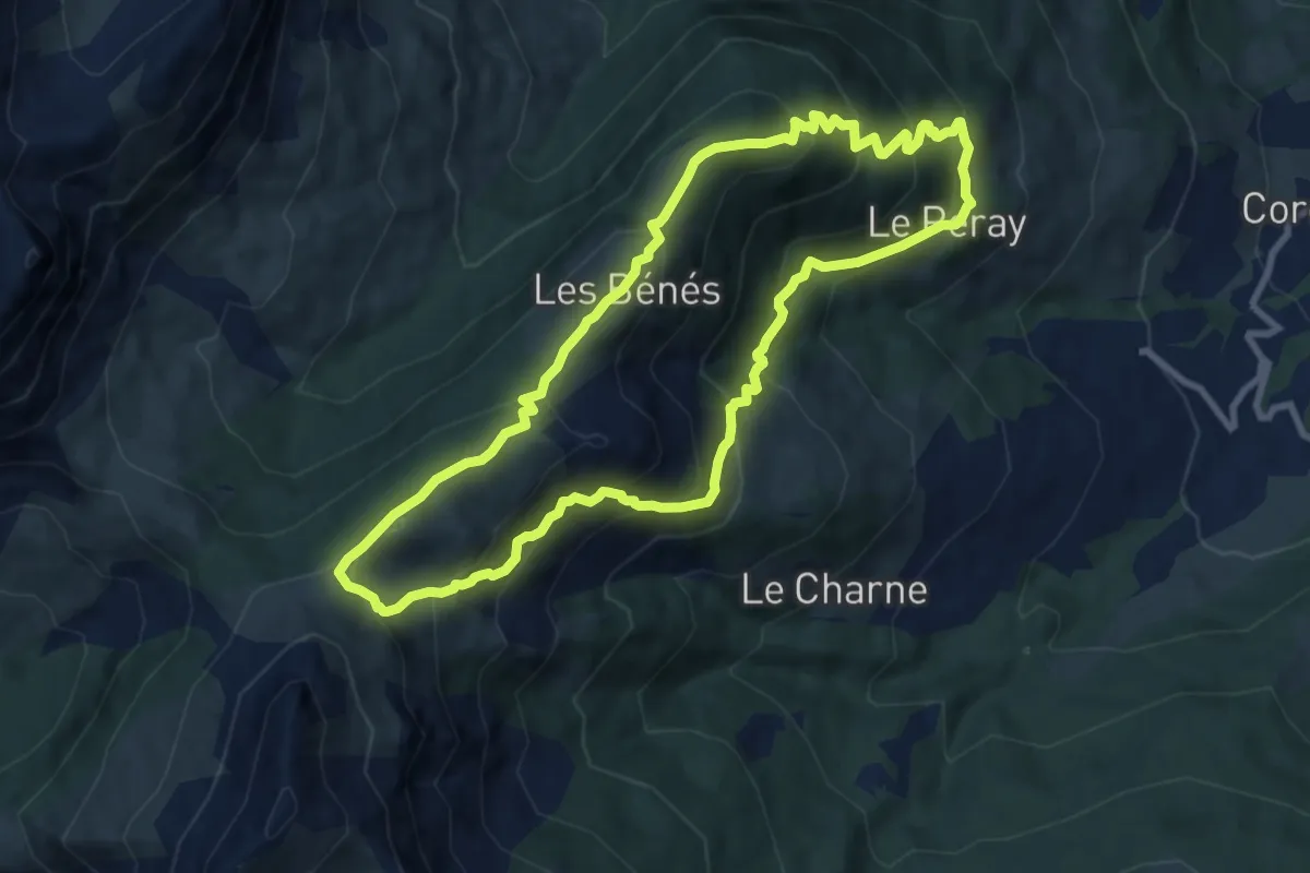
Medium · Summit
Boucle du Petit Pâtre
8.9 km · ↑ 719 m · 3 h 47 min · 8 km away
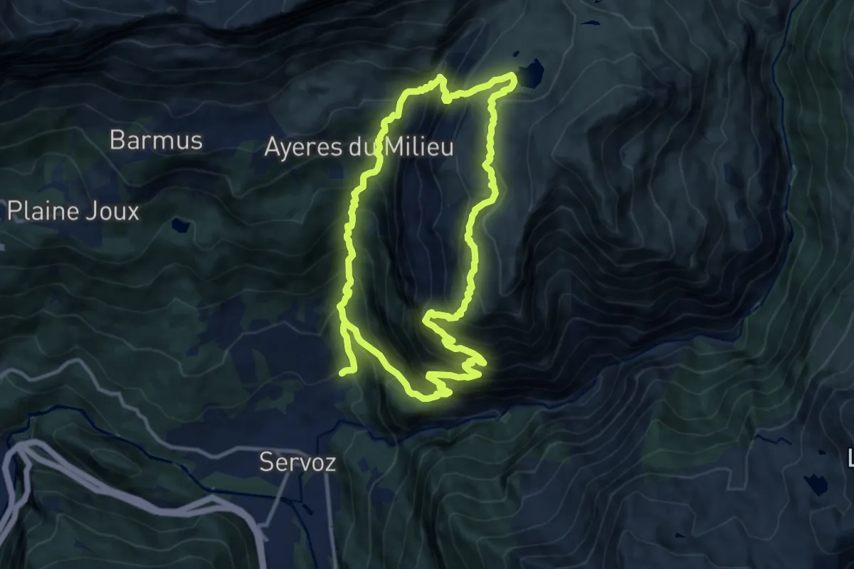
Demanding · Trail
Boucle de Pormenaz
11.4 km · ↑ 1209 m · 5 h 27 min · 8 km away
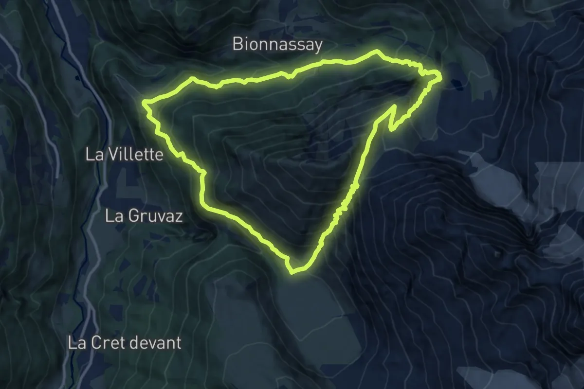
Demanding · Trail
Col de Tricot
11.4 km · ↑ 1134 m · 5 h 18 min · 9 km away
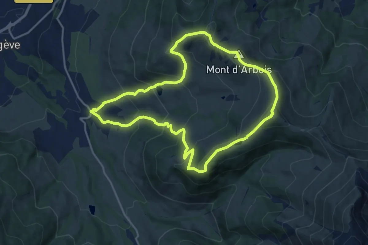
Medium · Summit
Le Mont d'Arbois - Mont Joux
9.9 km · ↑ 691 m · 3 h 58 min · 9 km away
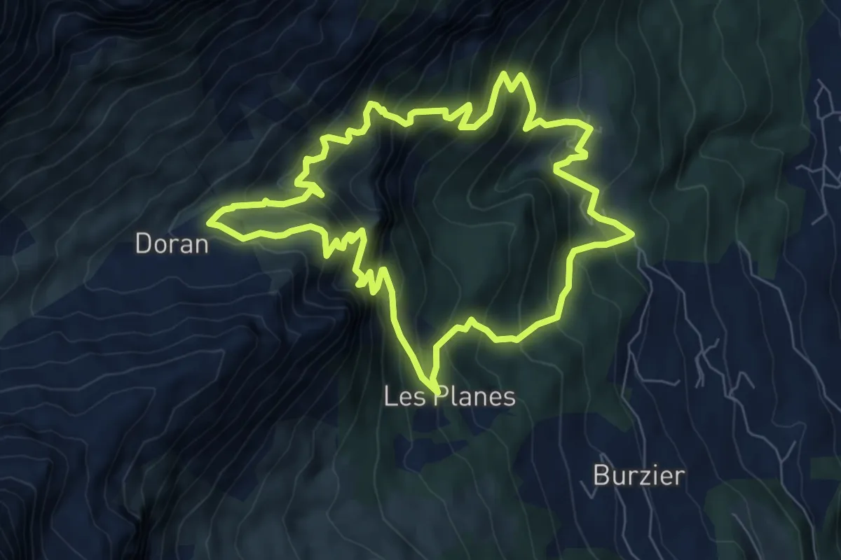
Medium · Trail
Sentier du Gypaète
7.5 km · ↑ 776 m · 3 h 33 min · 9 km away
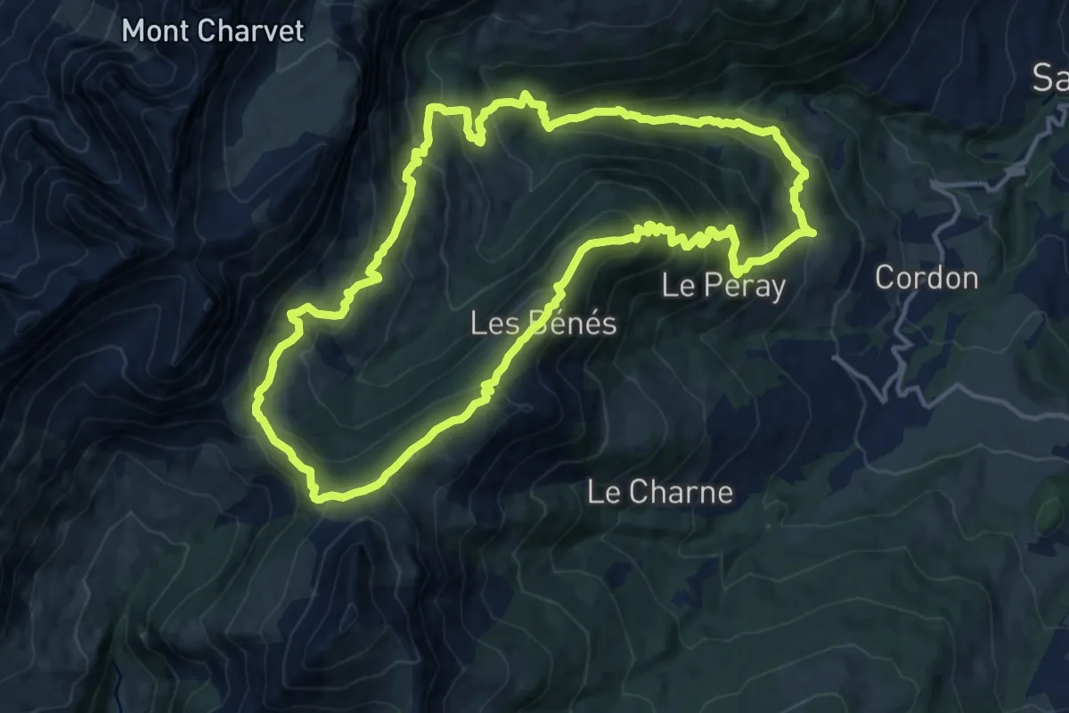
Demanding · Summit
Vallée de Cœur - Col de Niard
15.0 km · ↑ 1025 m · 5 h 59 min · 9 km away
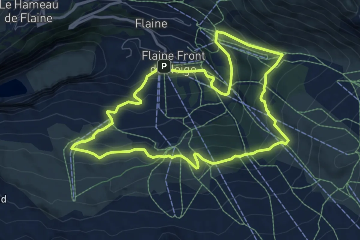
Medium · Trail
Boucle l'alpage et son histoire
7.0 km · ↑ 414 m · 2 h 39 min · 9 km away
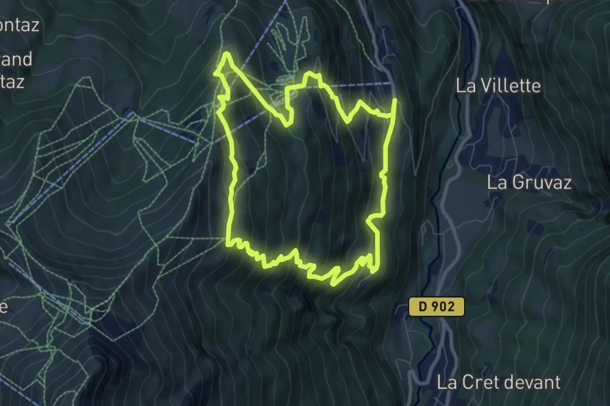
Medium · Trail
L'Alpage de Porcherey
7.9 km · ↑ 594 m · 3 h 15 min · 9 km away
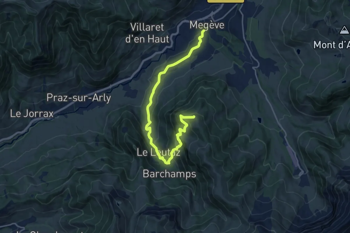
Medium · Summit
Rochebrune - Mègeve
15.3 km · ↑ 689 m · 5 h 6 min · 9 km away
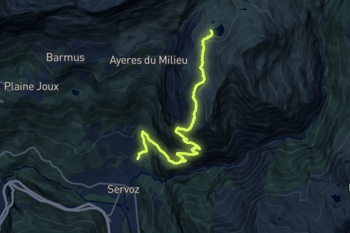
Demanding · Trail
Lac de Pormenaz
14.2 km · ↑ 1363 m · 6 h 18 min · 9 km away
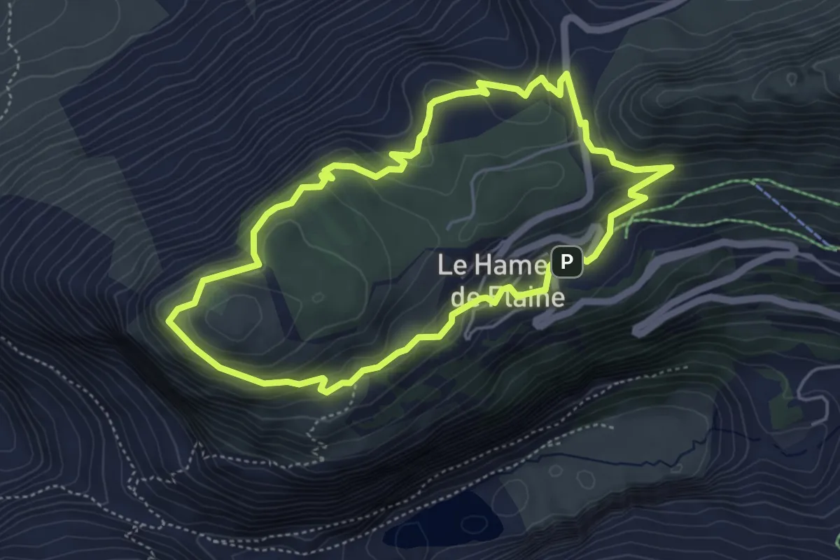
Medium · Summit
Tour de l'Arbaron
4.6 km · ↑ 245 m · 1 h 41 min · 9 km away
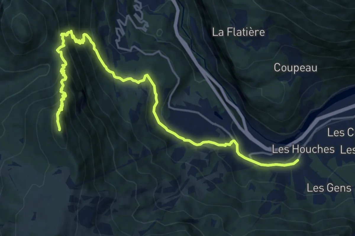
Demanding · Summit
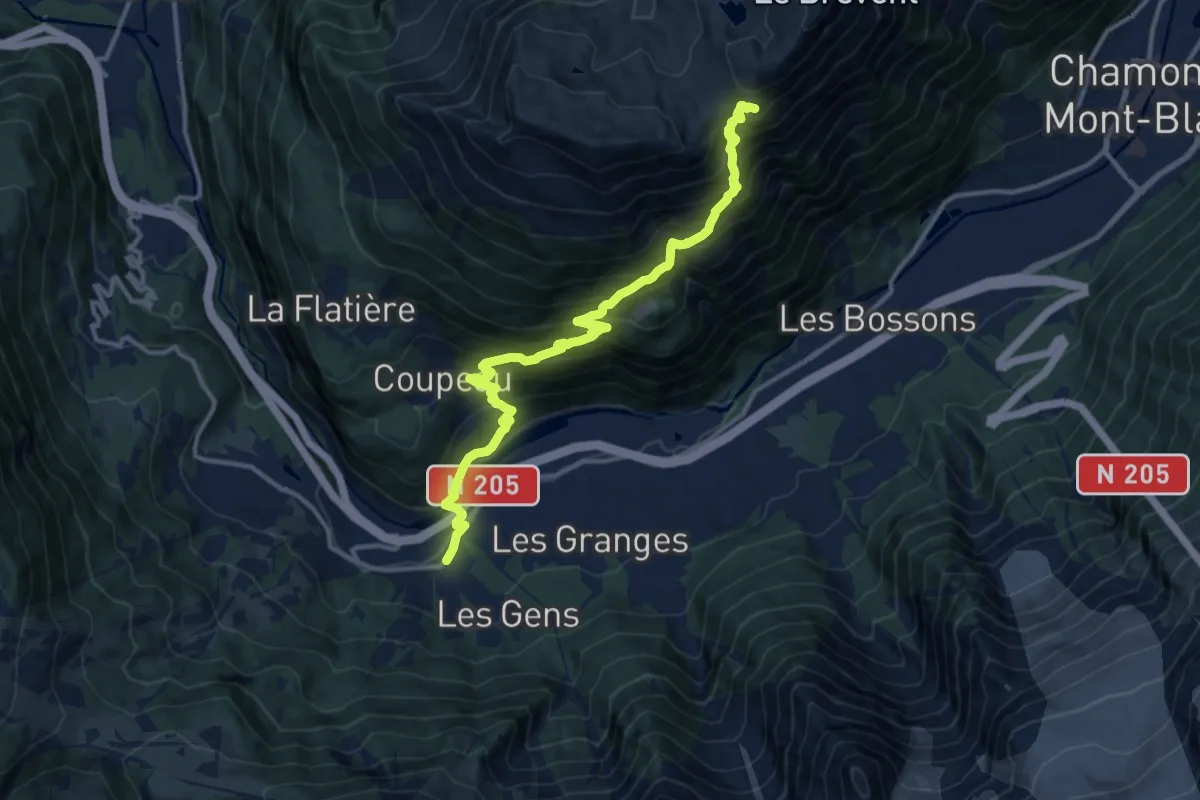
Bionnassay – Les Houches
16.1 km · ↑ 1092 m · 6 h 10 min · 10 km away
Demanding · Cabin
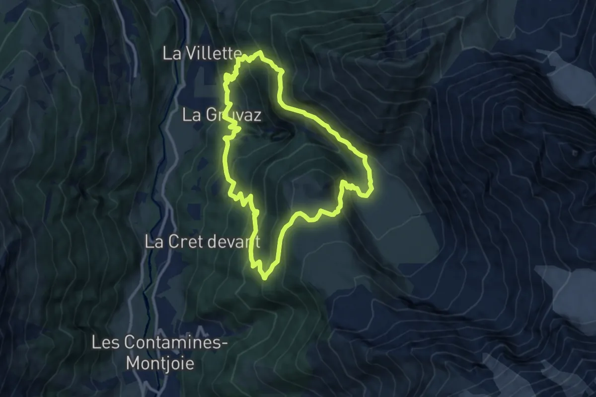
Les Houches – Refuge de Bellachat
14.0 km · ↑ 1262 m · 6 h 2 min · 10 km away
Medium · Cabin
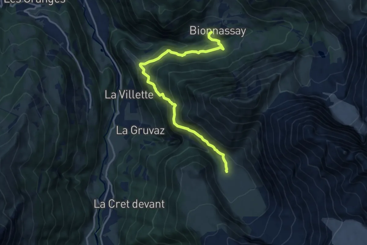
La Gruvaz - Le Truc - Alpage de Miage
9.3 km · ↑ 793 m · 4 h 3 min · 11 km away
Demanding · Cabin
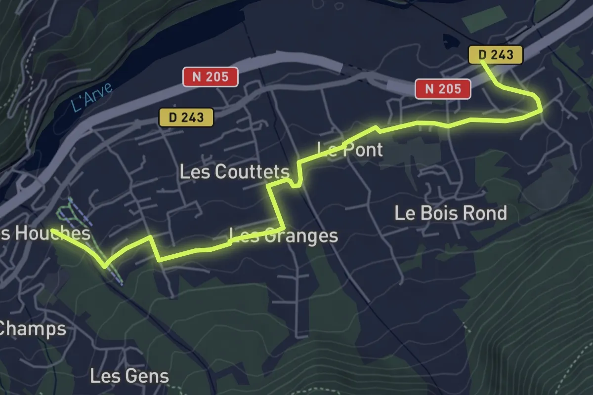
Refuge de Miage – Bionnassay
11.5 km · ↑ 932 m · 4 h 44 min · 11 km away
Easy · Trail
Chemin des Villages
6.0 km · ↑ 145 m · 1 h 44 min · 11 km away
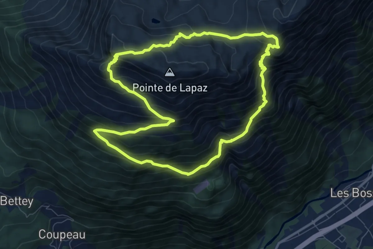
Medium · Summit
Aiguillette des Houches
8.1 km · ↑ 719 m · 3 h 35 min · 11 km away
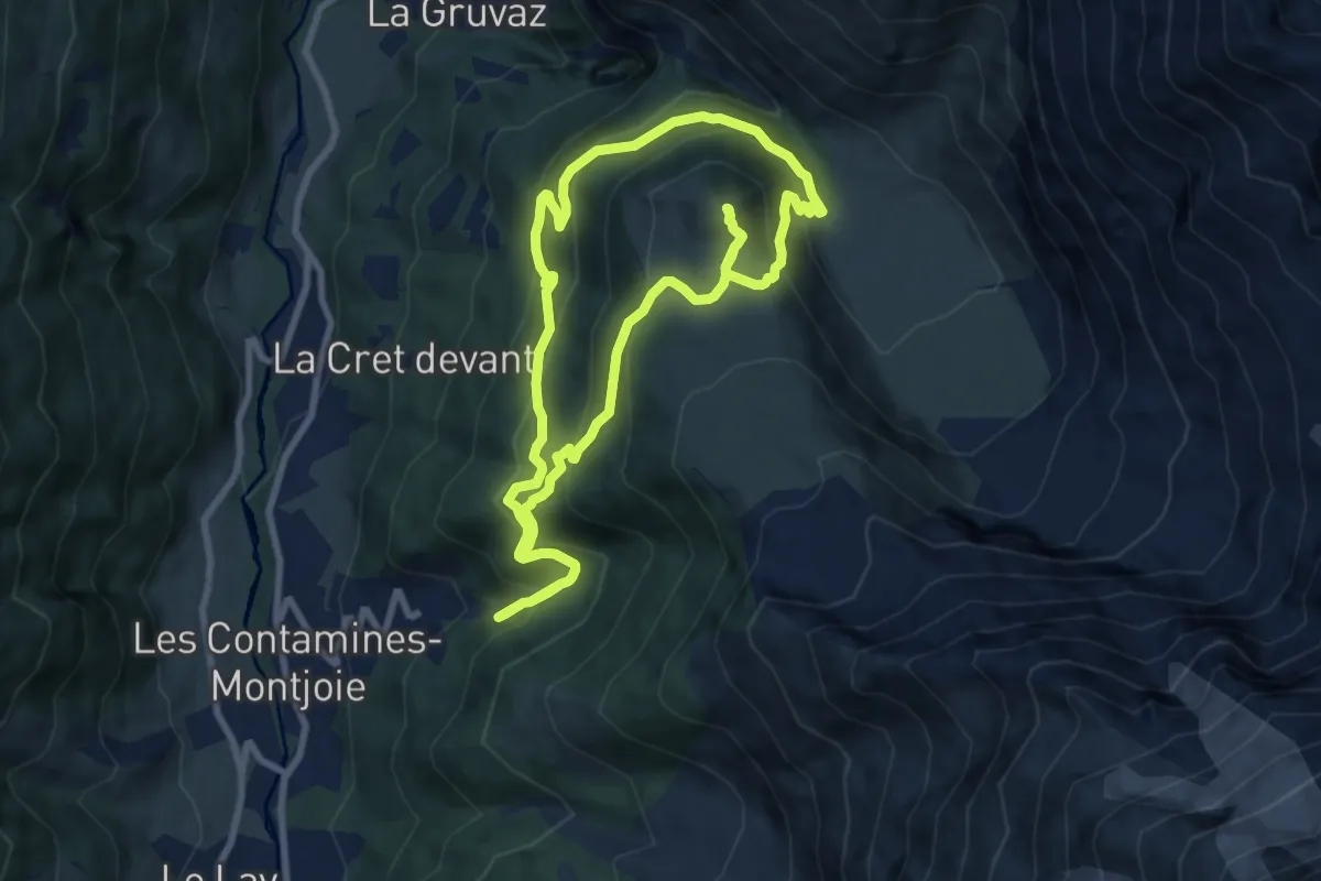
Medium · Summit
Boucle de Miage
8.6 km · ↑ 639 m · 3 h 33 min · 12 km away
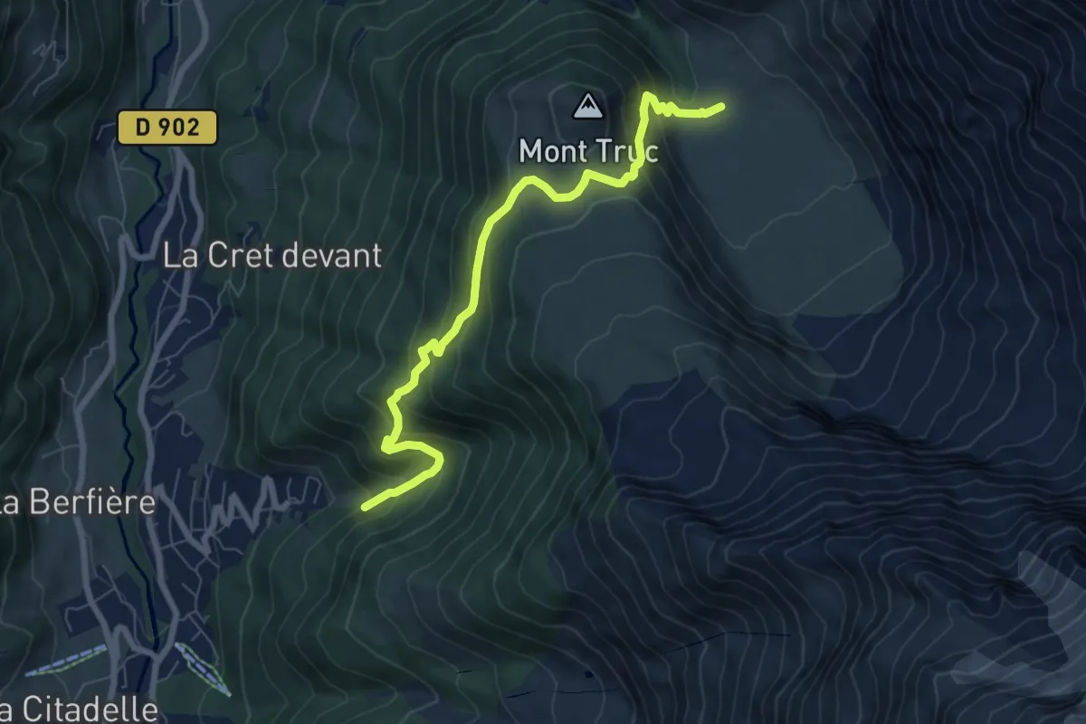
Medium · Cabin
Les Contamines-Montjoies – Refuge de Miage
7.5 km · ↑ 633 m · 3 h 8 min · 12 km away
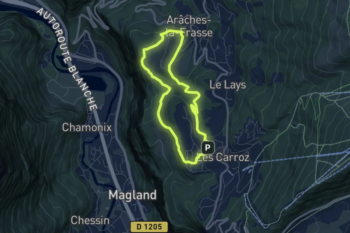
Easy · Trail
Boucle des Alpages
5.9 km · ↑ 158 m · 1 h 49 min · 12 km away
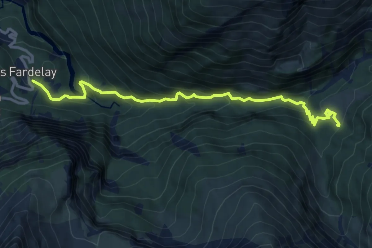
Expert · Cabin
Cirque des Fonts
3.8 km · ↑ 489 m · 1 h 50 min · 13 km away
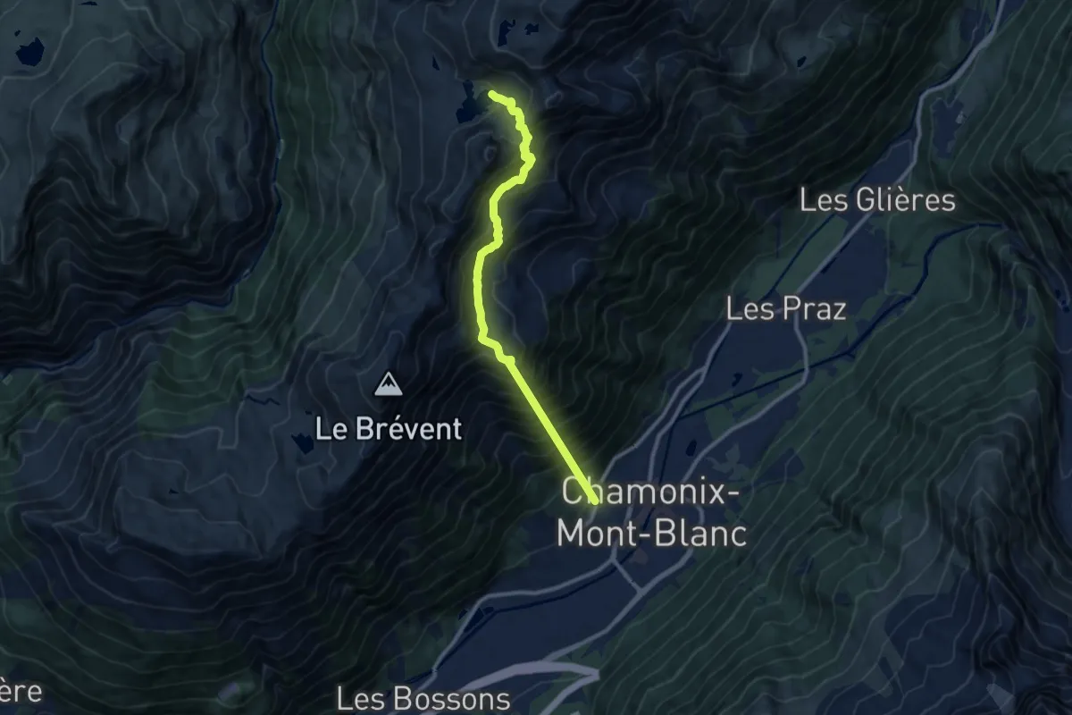
Demanding · Trail
Lac Cornu
10.1 km · ↑ 1529 m · 5 h 41 min · 14 km away
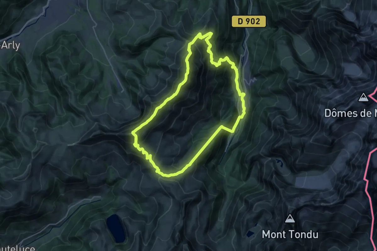
Demanding · Summit
Aiguille Croche
22.5 km · ↑ 1708 m · 9 h 20 min · 14 km away
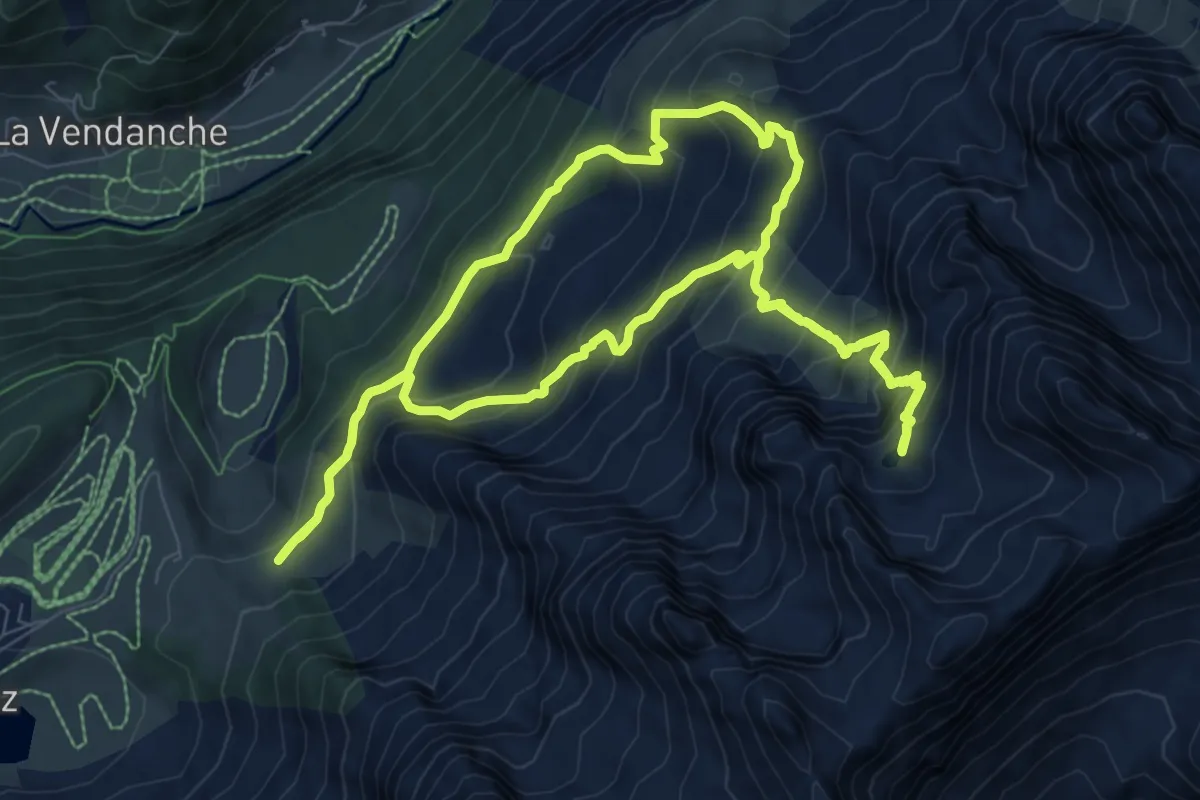
Medium · Trail
Le Refuge de la Bombardellaz par le Lac de Tardevant
9.0 km · ↑ 736 m · 3 h 51 min · 14 km away
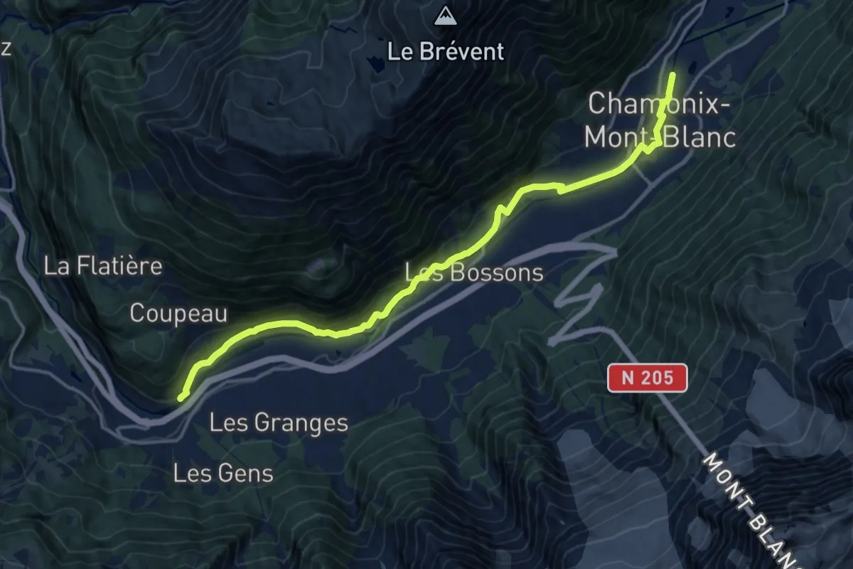
Medium · Trail
Les Houches – Chamonix
16.3 km · ↑ 316 m · 4 h 32 min · 15 km away
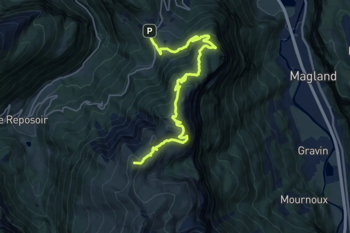
Demanding · Summit
Les Vuardes et alpage de Vormy
16.9 km · ↑ 1154 m · 6 h 29 min · 15 km away