Trails near Périgueux
42 hikes starting within 15 km, nearest first.
Nearest first
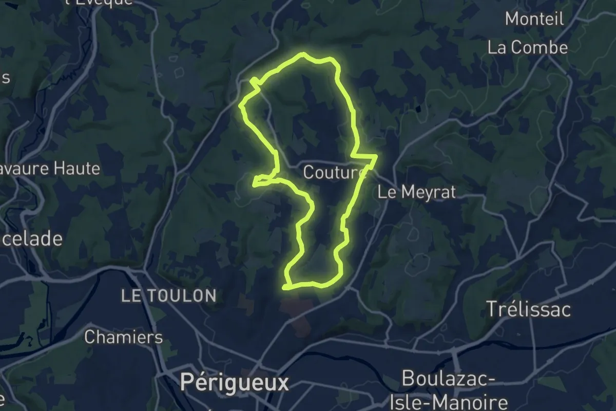
Medium · Trail
Boucle de Chantecoucou
12.8 km · ↑ 211 m · 3 h 39 min · 4 km away
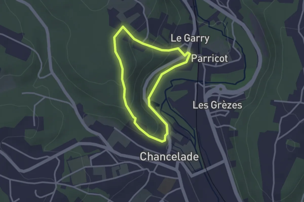
Easy · Trail
Boucle de l'Abbaye
2.2 km · ↑ 69 m · 42 min · 5 km away
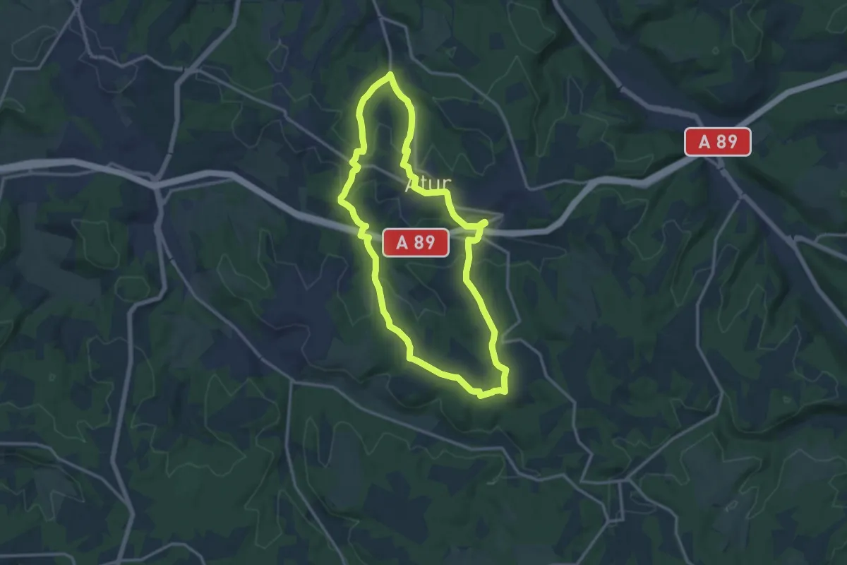
Medium · Trail
Boucle Aturienne
12.4 km · ↑ 214 m · 3 h 34 min · 5 km away
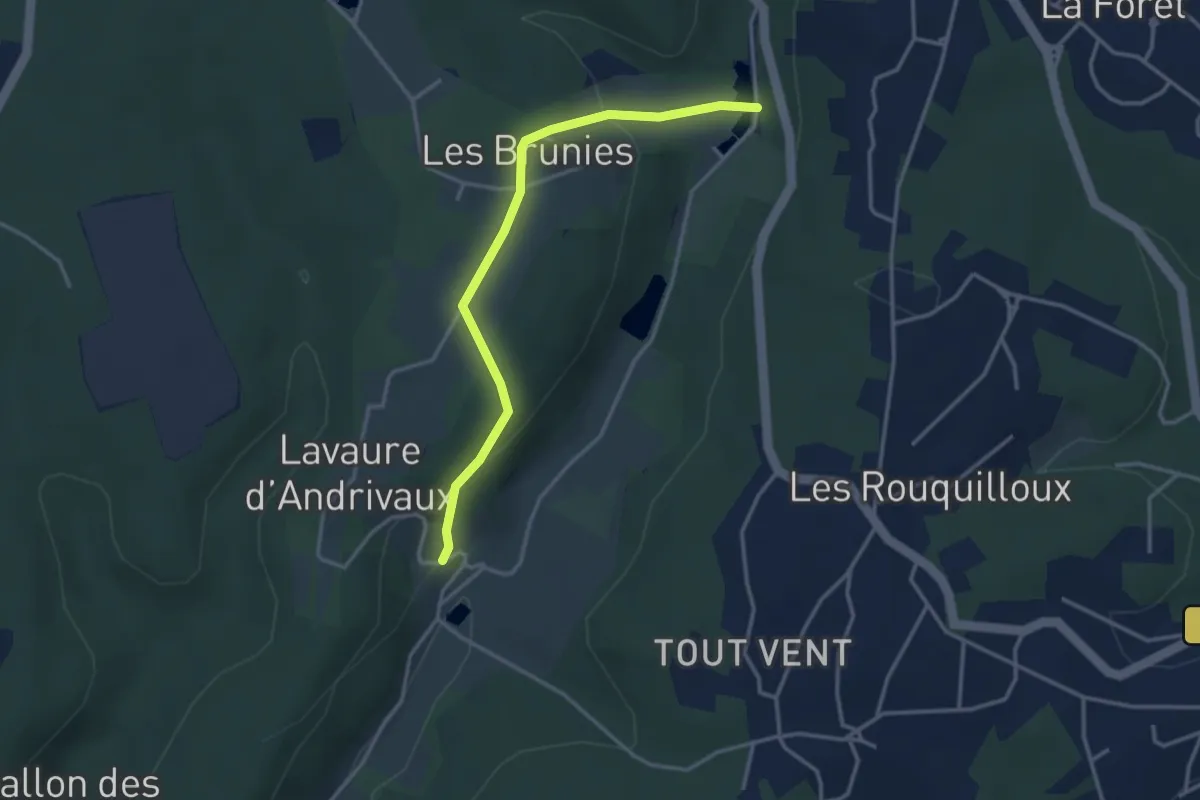
Easy · Trail
Boucle des Andrivaux
3.5 km · ↑ 112 m · 1 h 4 min · 7 km away
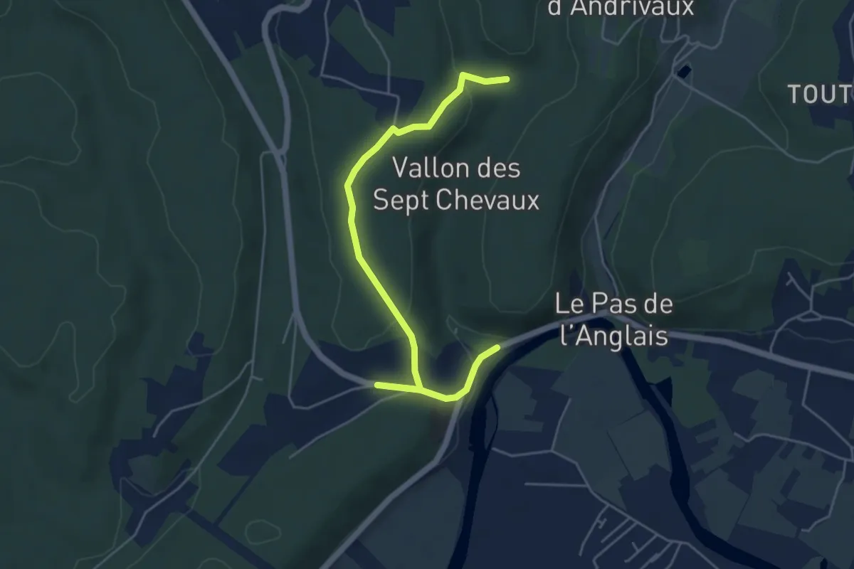
Easy · Trail
Liaison La-Chapelle-Gonaguet - Annesse-et-Beaulieu
5.4 km · ↑ 123 m · 1 h 33 min · 8 km away
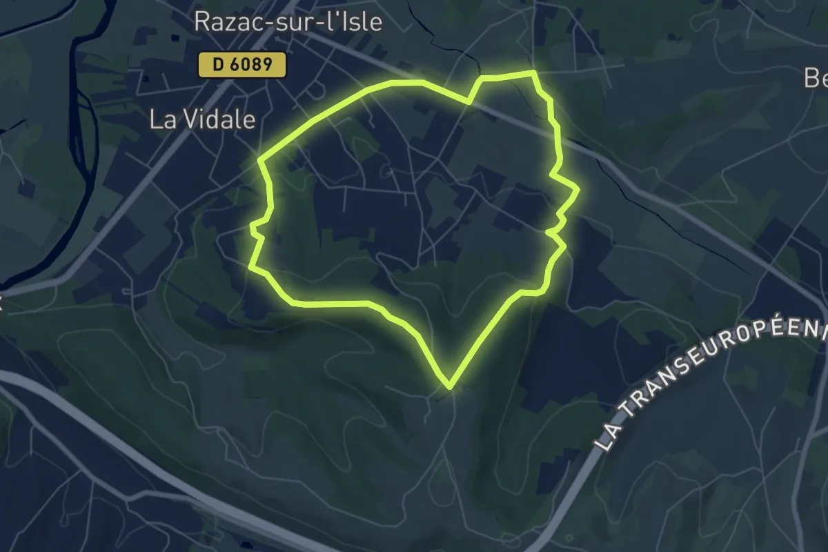
Easy · Trail
Boucle les Hauts de Razac
6.3 km · ↑ 128 m · 1 h 51 min · 8 km away
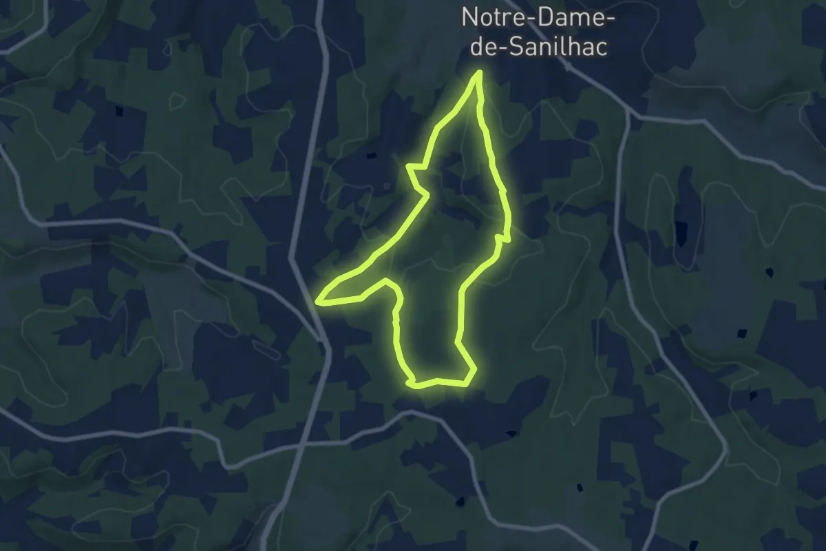
Easy · Trail
Circuit des Mottes
7.0 km · ↑ 137 m · 2 h 2 min · 8 km away
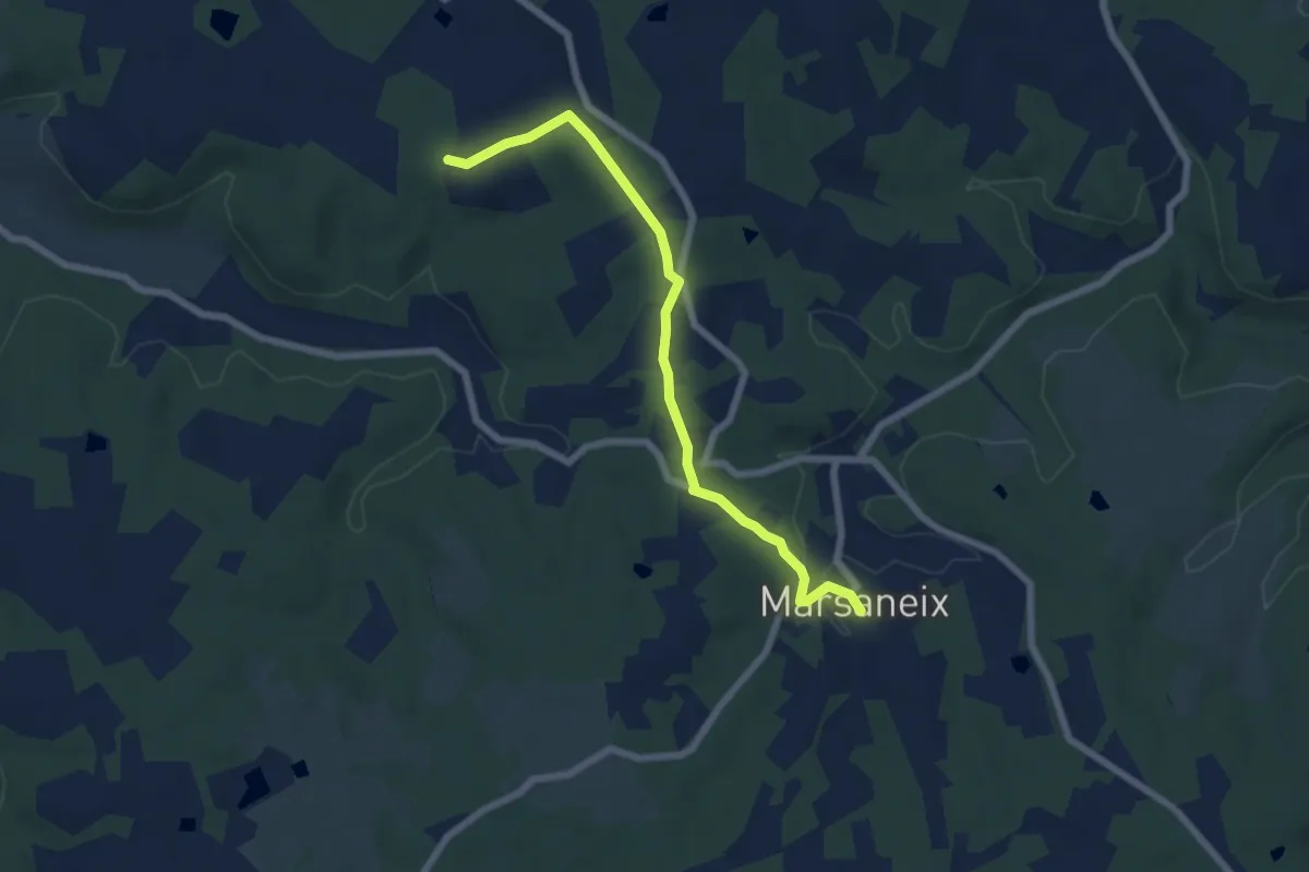
Easy · Trail
Liaison Atur-Marsaneix
6.7 km · ↑ 70 m · 1 h 43 min · 8 km away
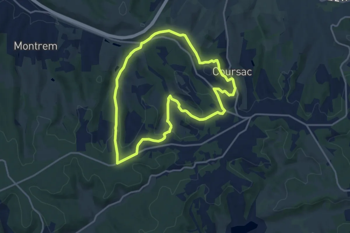
Medium · Trail
Boucle des Bordes d’Antan
9.9 km · ↑ 223 m · 2 h 57 min · 9 km away
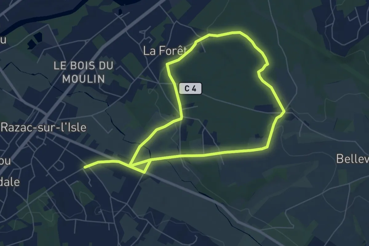
Medium · Trail
Boucle la Forêt
11.8 km · ↑ 175 m · 3 h 9 min · 9 km away
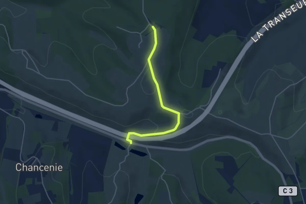
Easy · Trail
Liaison Montrem - Coursac - Razac
3.6 km · ↑ 81 m · 1 h 2 min · 9 km away
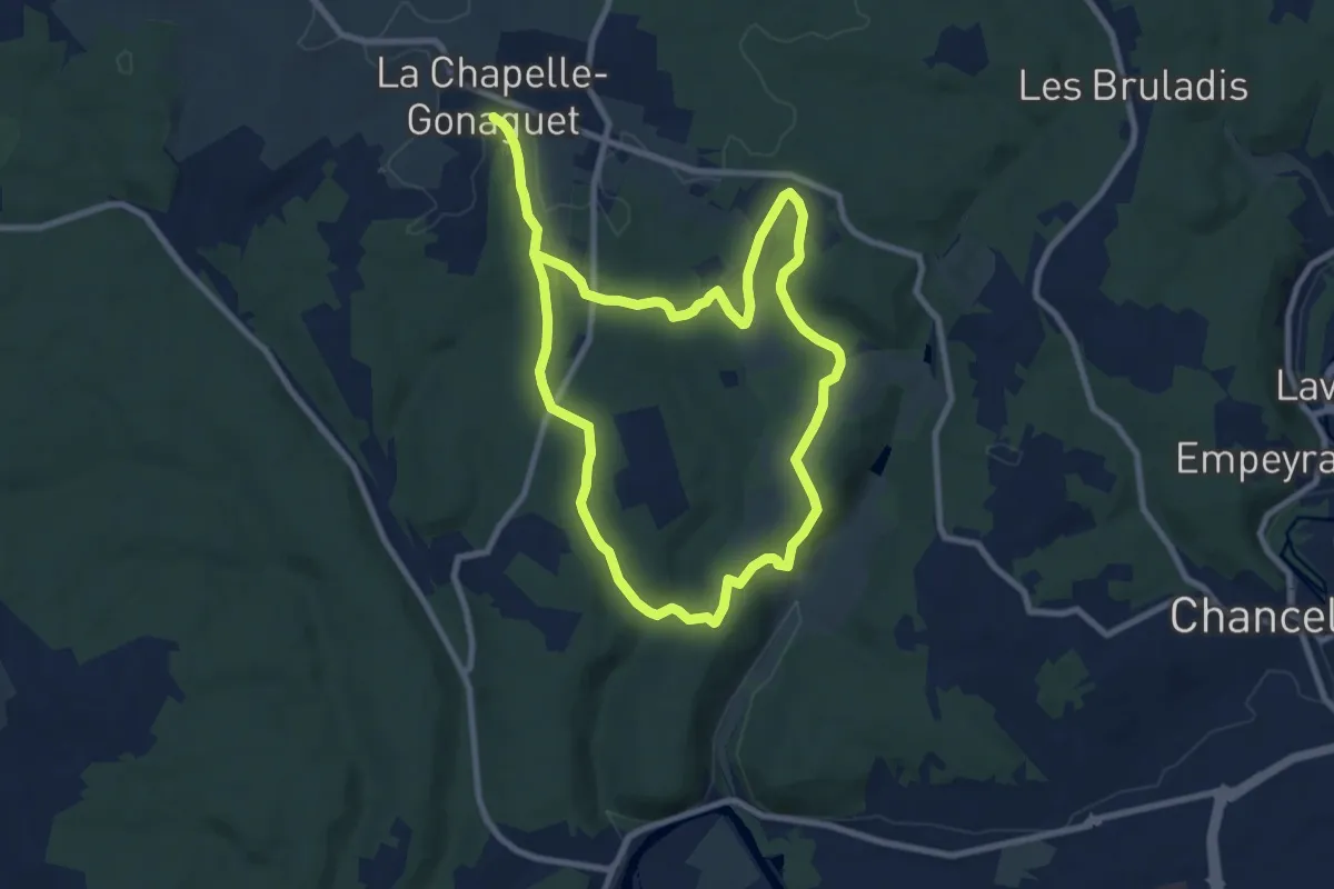
Medium · Trail
Boucle des Brunies
16.8 km · ↑ 272 m · 4 h 34 min · 10 km away
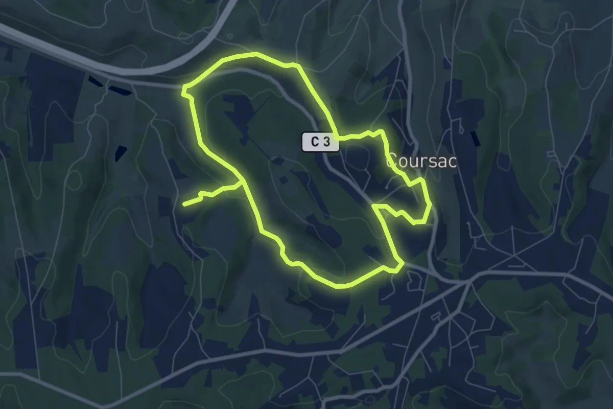
Medium · Trail
Ronde des Lavandières
13.9 km · ↑ 332 m · 4 h · 10 km away
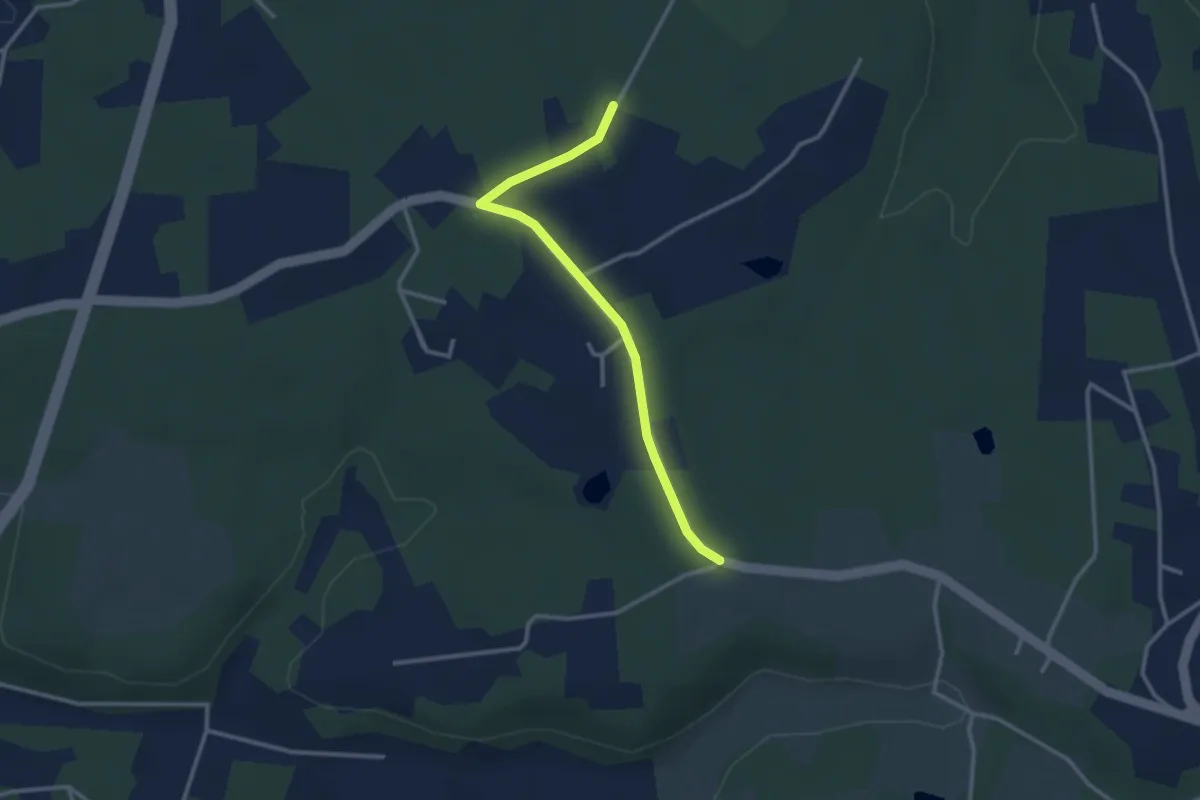
Easy · Trail
Liaison Eglise Neuve de Vergt - Notre Dame de Sanilhac
2.9 km · ↑ 14 m · 43 min · 11 km away
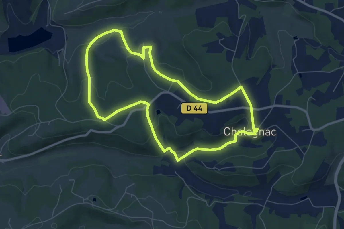
Easy · Trail
Boucle du Bas-Combin
6.8 km · ↑ 168 m · 2 h 4 min · 11 km away
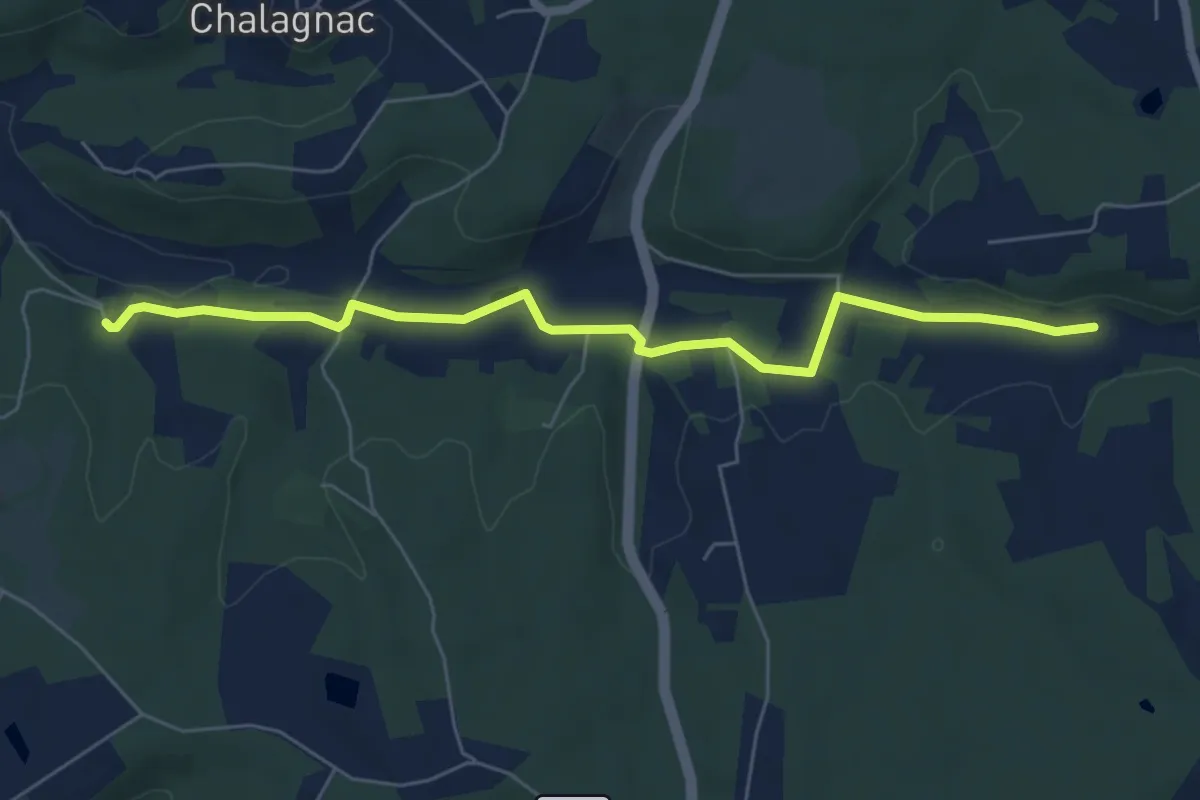
Easy · Trail
Liaison Creyssenssac et Pissot - Eglise Neuve de Vergt
6.6 km · ↑ 88 m · 1 h 44 min · 11 km away
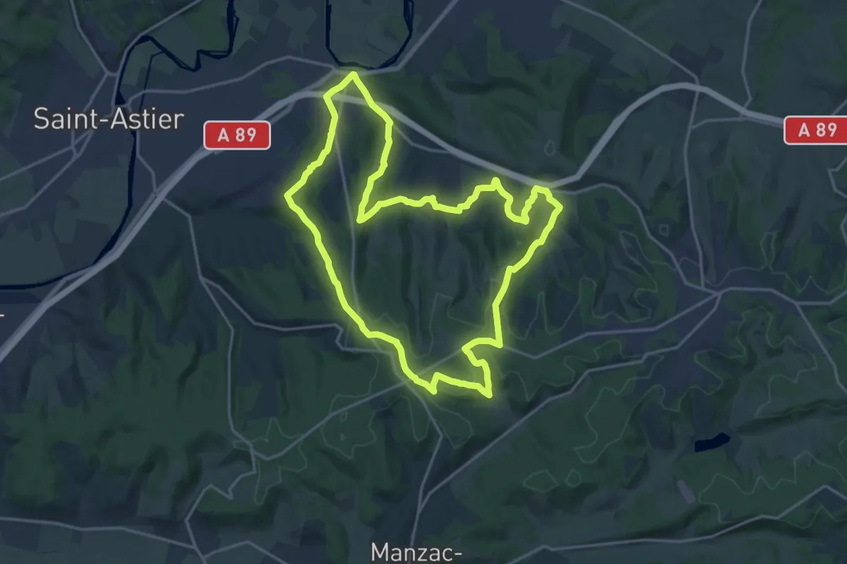
Demanding · Trail
Boucle des 5 Étangs
18.0 km · ↑ 426 m · 5 h 26 min · 11 km away
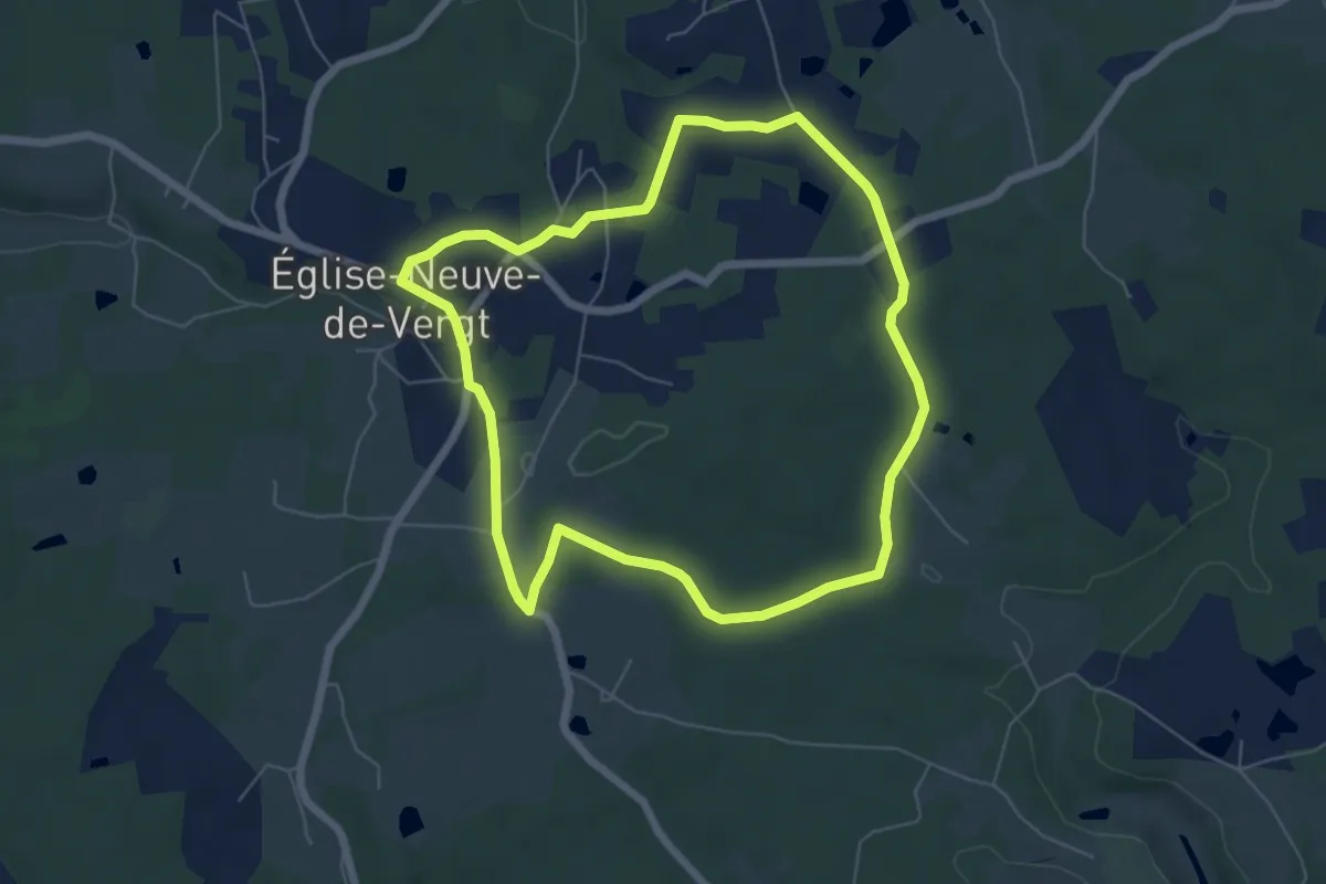
Easy · Trail
Boucle du Vallon
6.3 km · ↑ 70 m · 1 h 43 min · 11 km away
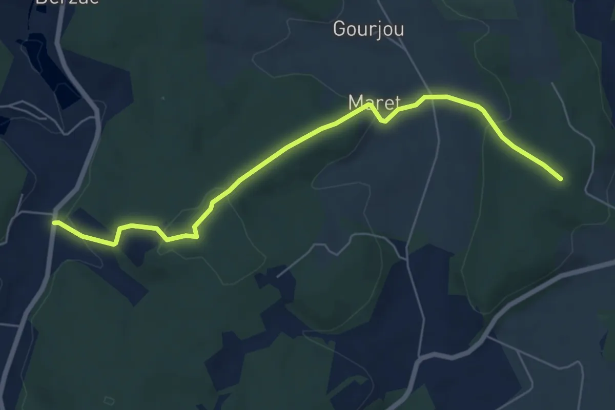
Easy · Trail
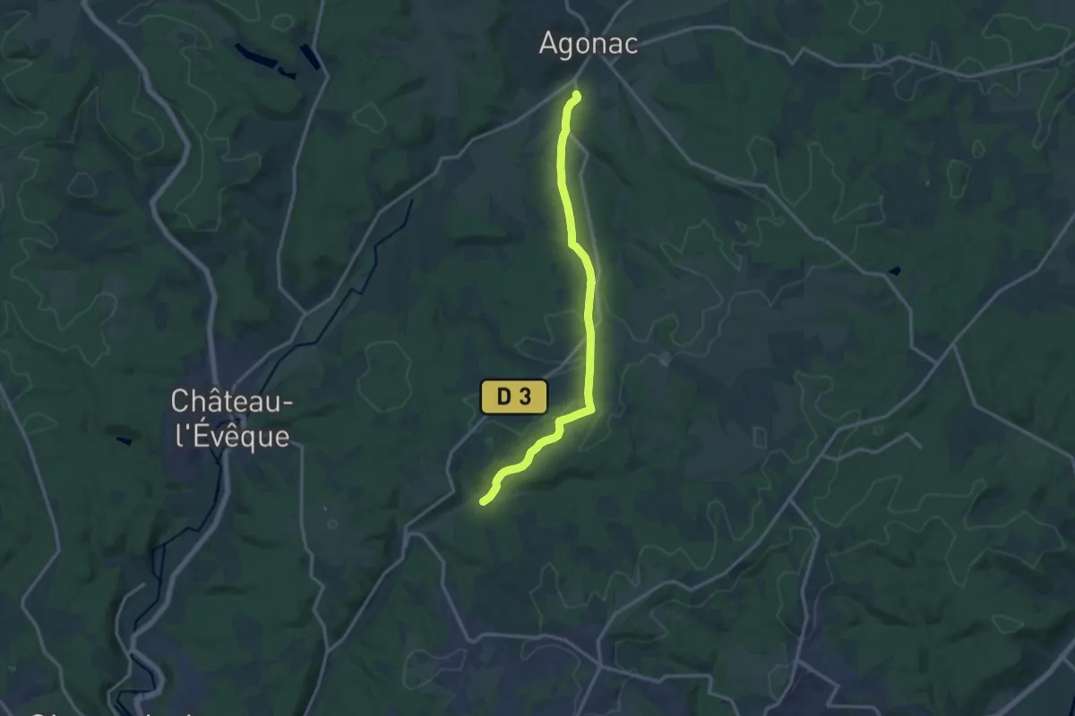
Liaison Château L'évèque Agonac
6.2 km · ↑ 206 m · 1 h 54 min · 11 km away
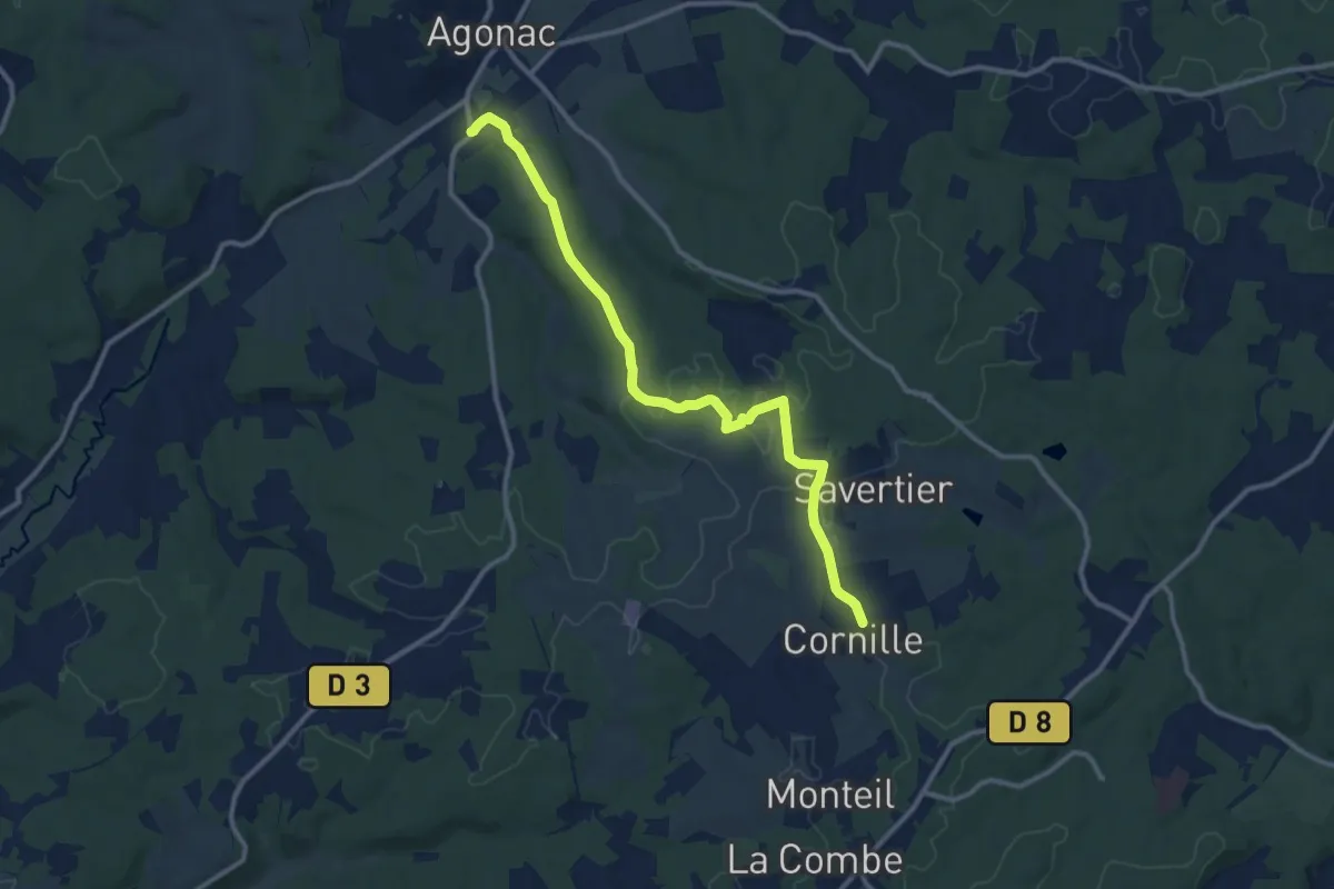
Medium · Trail
Liaison Agonac Cornille
12.1 km · ↑ 111 m · 3 h 6 min · 12 km away
Medium · Trail
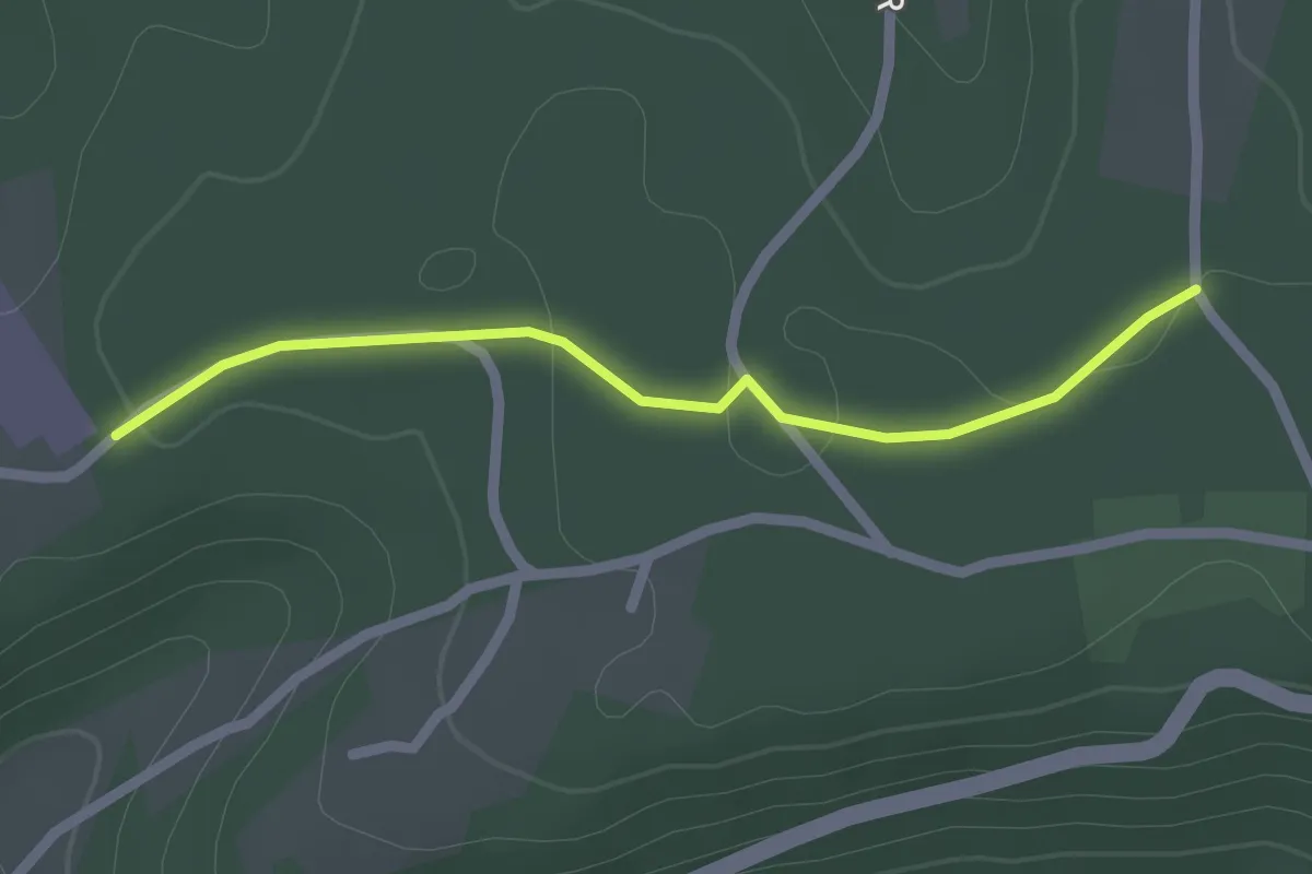
Liaison Champcevinel Agonac
13.5 km · ↑ 219 m · 3 h 40 min · 12 km away
Easy · Trail
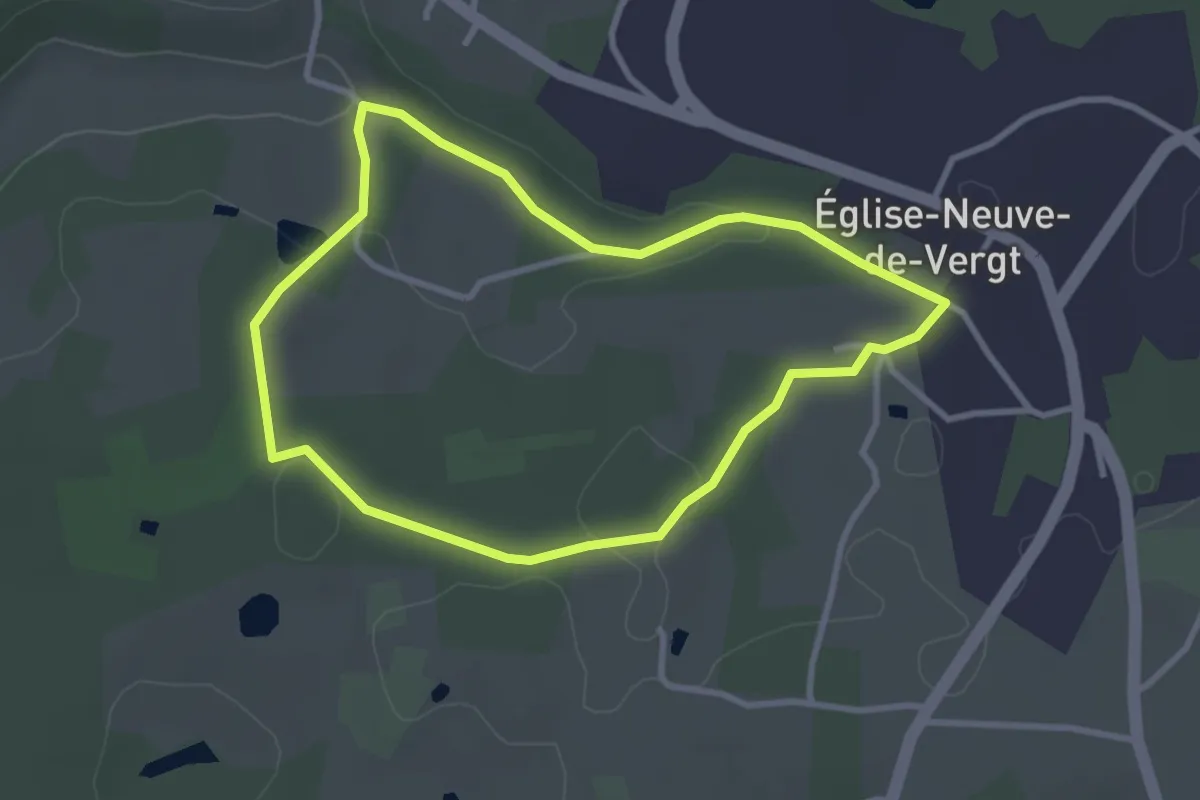
Liaison St-Paul-de-Serre - Chalagnac
2.1 km · ↑ 17 m · 32 min · 12 km away
Easy · Trail
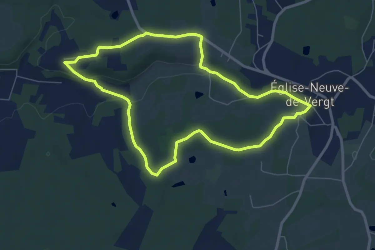
Boucle de la Pichardie (variante)
3.0 km · ↑ 44 m · 51 min · 12 km away
Easy · Trail
Boucle de la Pichardie
6.2 km · ↑ 95 m · 1 h 45 min · 12 km away
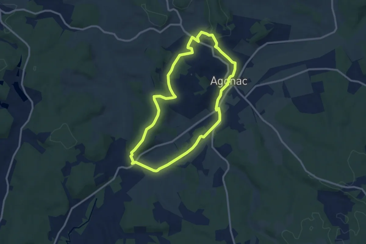
Easy · Trail
Boucle d'Agonac Fontoubade
7.9 km · ↑ 160 m · 2 h 19 min · 12 km away
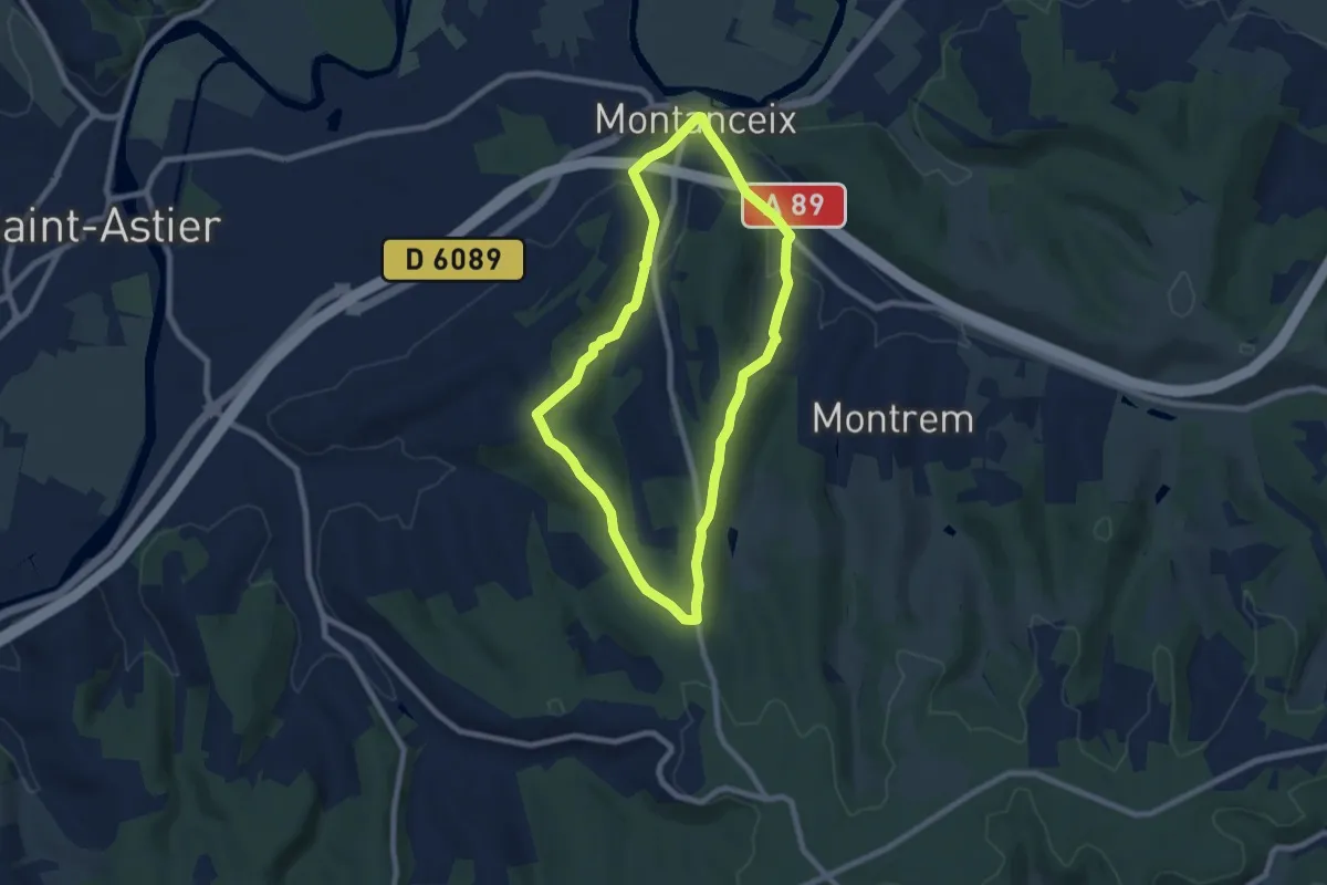
Easy · Trail
Boucle des Trufières
7.3 km · ↑ 129 m · 2 h 6 min · 12 km away
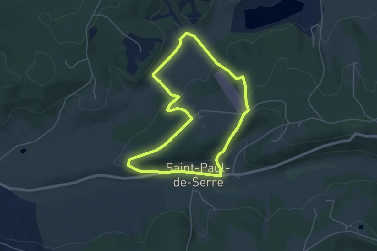
Easy · Trail
Boucle de Moncouche
4.5 km · ↑ 162 m · 1 h 28 min · 12 km away
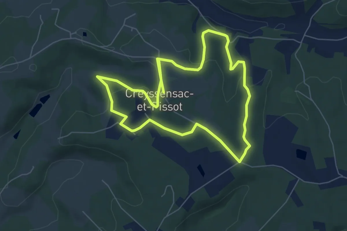
Medium · Trail
Boucle des écureuils (Variante)
11.9 km · ↑ 247 m · 3 h 20 min · 12 km away
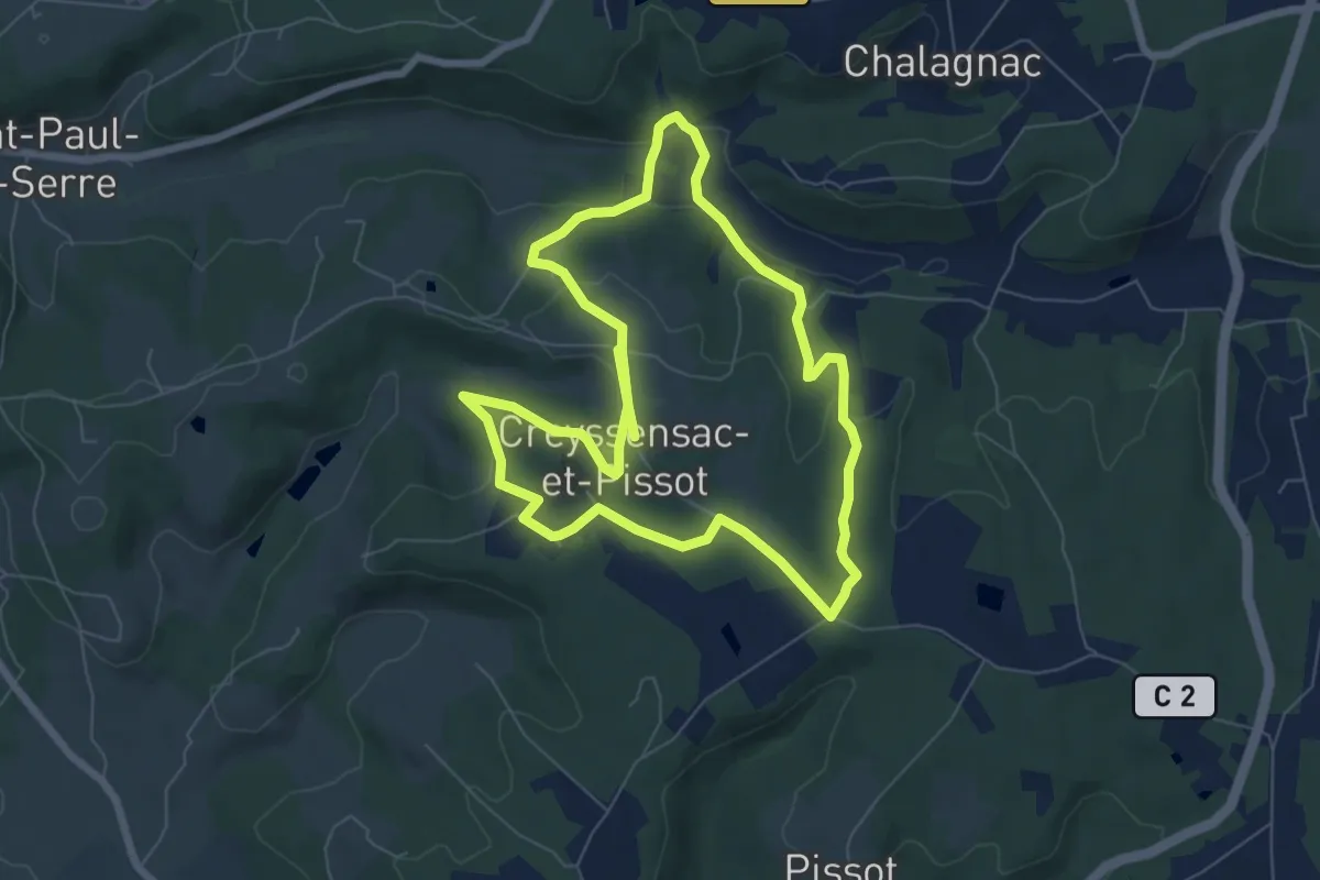
Medium · Trail
Boucle des écureuils
14.3 km · ↑ 312 m · 4 h 3 min · 12 km away
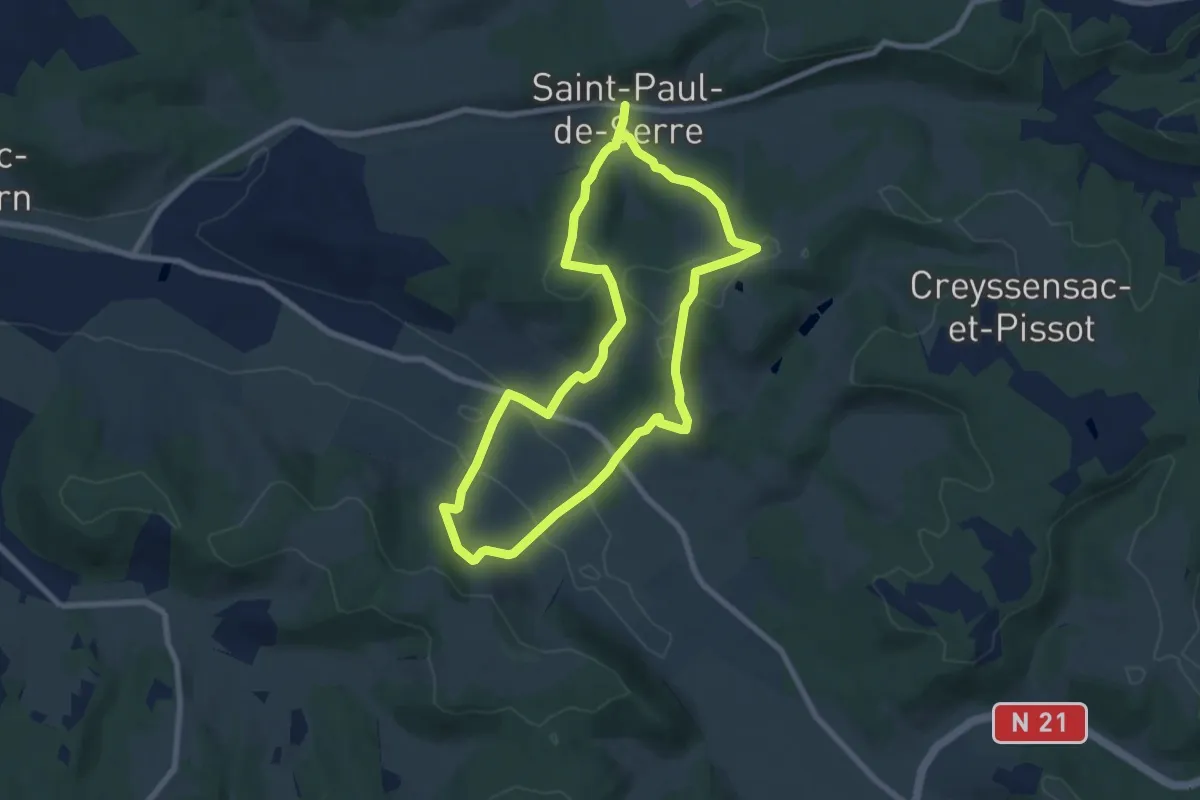
Medium · Trail
Boucle des Mangours
14.8 km · ↑ 484 m · 4 h 32 min · 12 km away
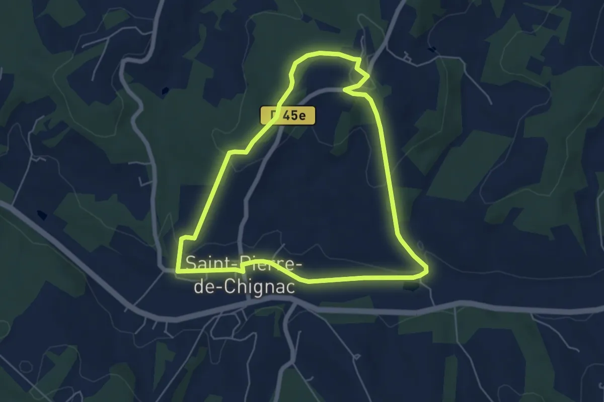
Easy · Trail
Boucle du Lavoir
5.3 km · ↑ 135 m · 1 h 37 min · 13 km away
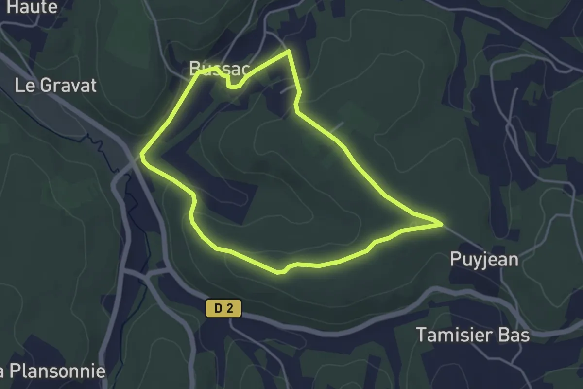
Easy · Trail
Boucle de Bussac
3.6 km · ↑ 82 m · 1 h 5 min · 13 km away
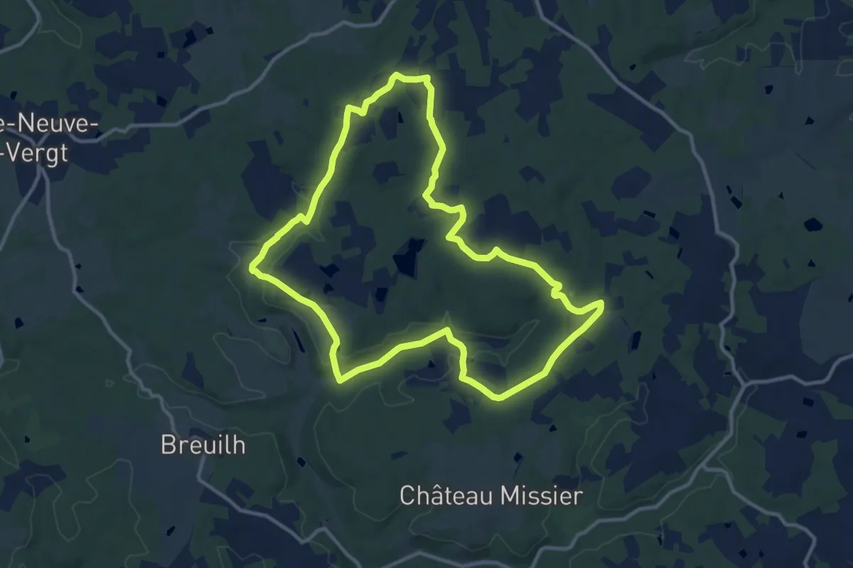
Medium · Trail
Boucle de Marsaneix
11.8 km · ↑ 142 m · 3 h 16 min · 13 km away
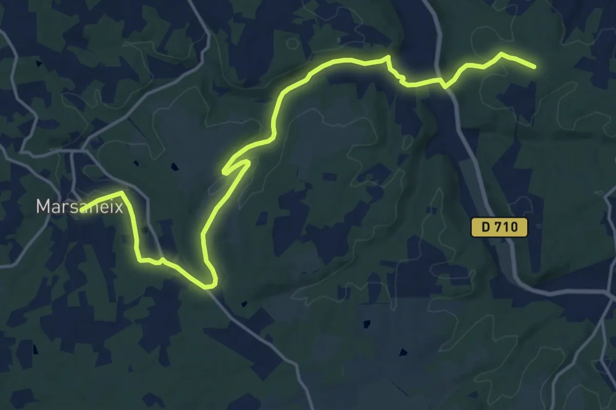
Medium · Trail
Liaison Marsaneix-Saint-Pierre-de-Chiniac
16.6 km · ↑ 323 m · 4 h 38 min · 13 km away
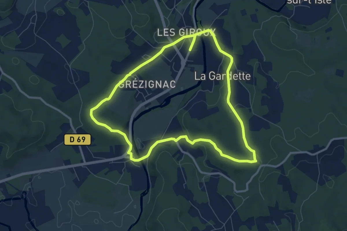
Medium · Trail
Boucle de Sarliac
15.4 km · ↑ 282 m · 4 h 15 min · 14 km away
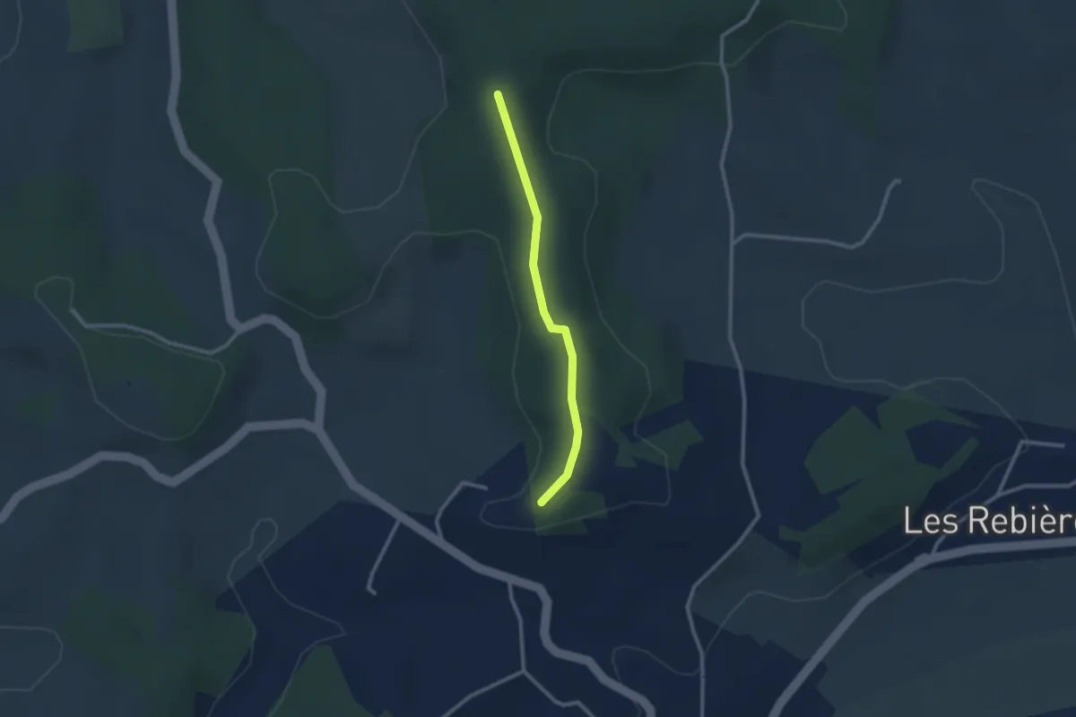
Easy · Trail
Liaison Agonac-Eyvirat
2.3 km · ↑ 23 m · 36 min · 14 km away
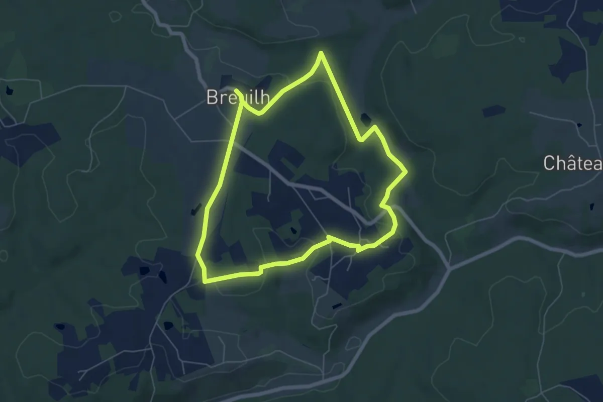
Easy · Trail
Boucle du Breuilh
5.7 km · ↑ 95 m · 1 h 38 min · 15 km away
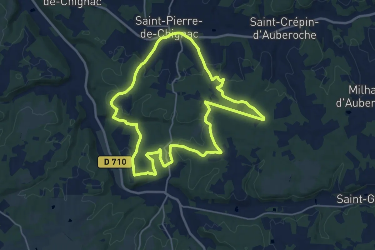
Medium · Trail
Boucle de la Chapelle
14.3 km · ↑ 258 m · 4 h 9 min · 15 km away
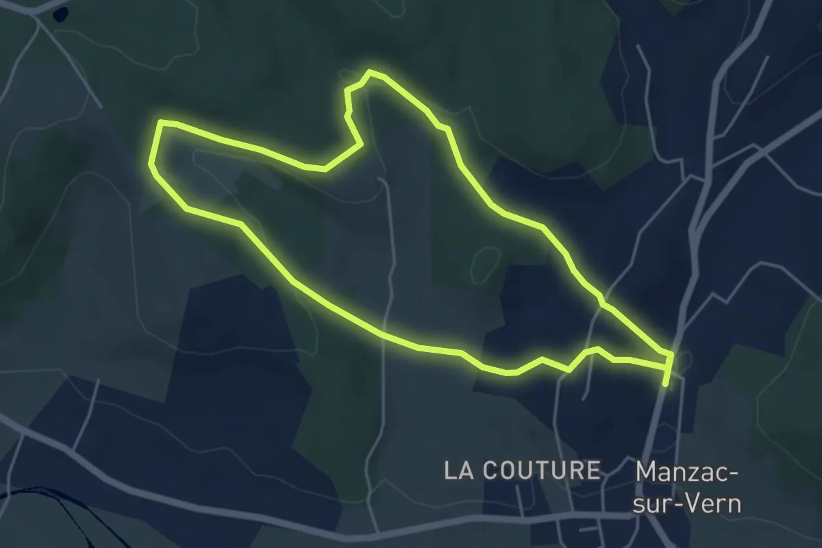
Easy · Trail
Boucle de Negrefont
4.7 km · ↑ 144 m · 1 h 30 min · 15 km away
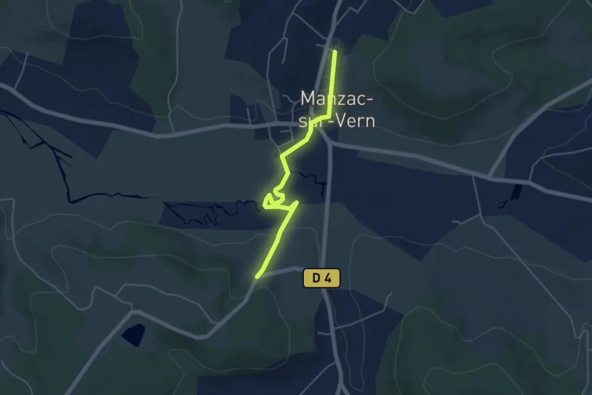
Easy · Trail
Liaison Manzac-sur-Vern - Tour du Freyrat
4.3 km · ↑ 51 m · 1 h 7 min · 15 km away
Easy · Trail
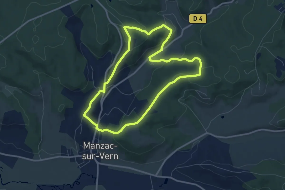
Boucle de Chabannes
7.2 km · ↑ 216 m · 2 h 16 min · 15 km away
Easy · Trail
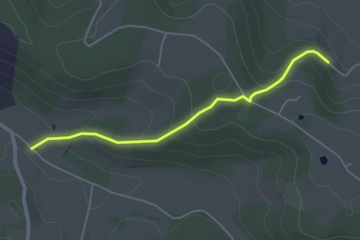
Liaison St-Paul-de-Serre - Bourrou
3.5 km · ↑ 164 m · 1 h 11 min · 15 km away