Trails near Port-de-Bouc
21 hikes starting within 15 km, nearest first.
Nearest first
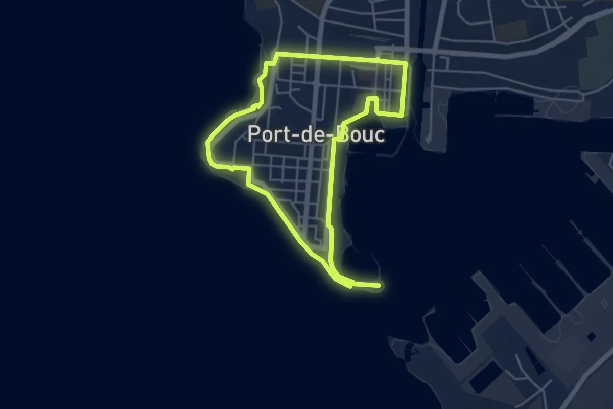
Easy · Trail
La Presqu’ile - Le sentier du littoral
4.1 km · ↑ 24 m · 1 h 5 min · 1 km away
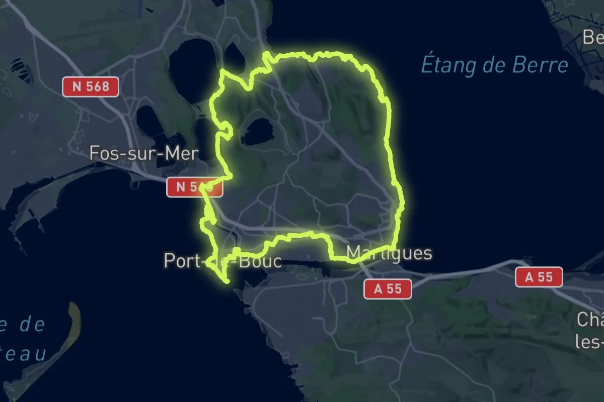
Demanding · Trail
Entre mer et étangs
38.4 km · ↑ 489 m · 10 h 39 min · 2 km away
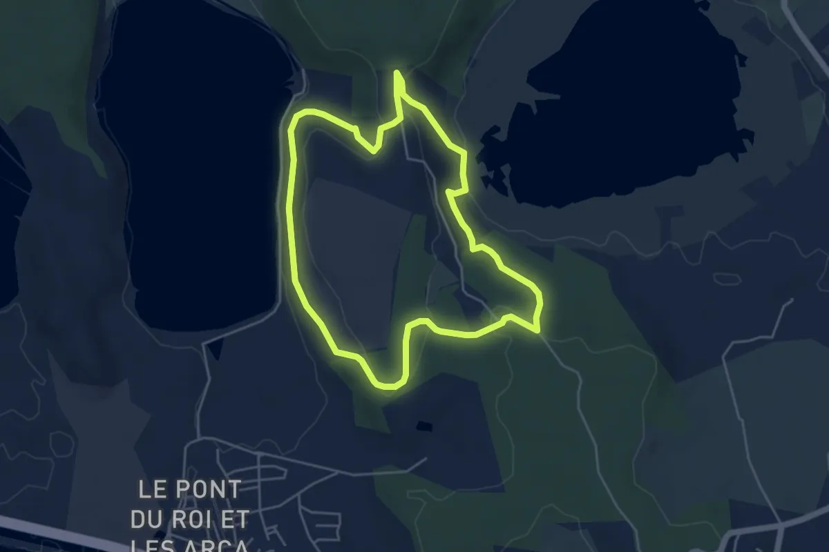
Easy · Trail
Forêt de Castillon Etangs de Pourra et d’Engrenier
4.7 km · ↑ 105 m · 1 h 25 min · 5 km away
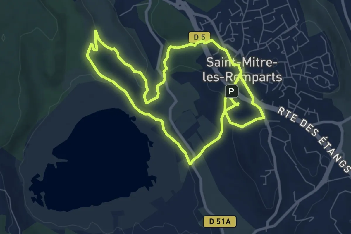
Easy · Trail
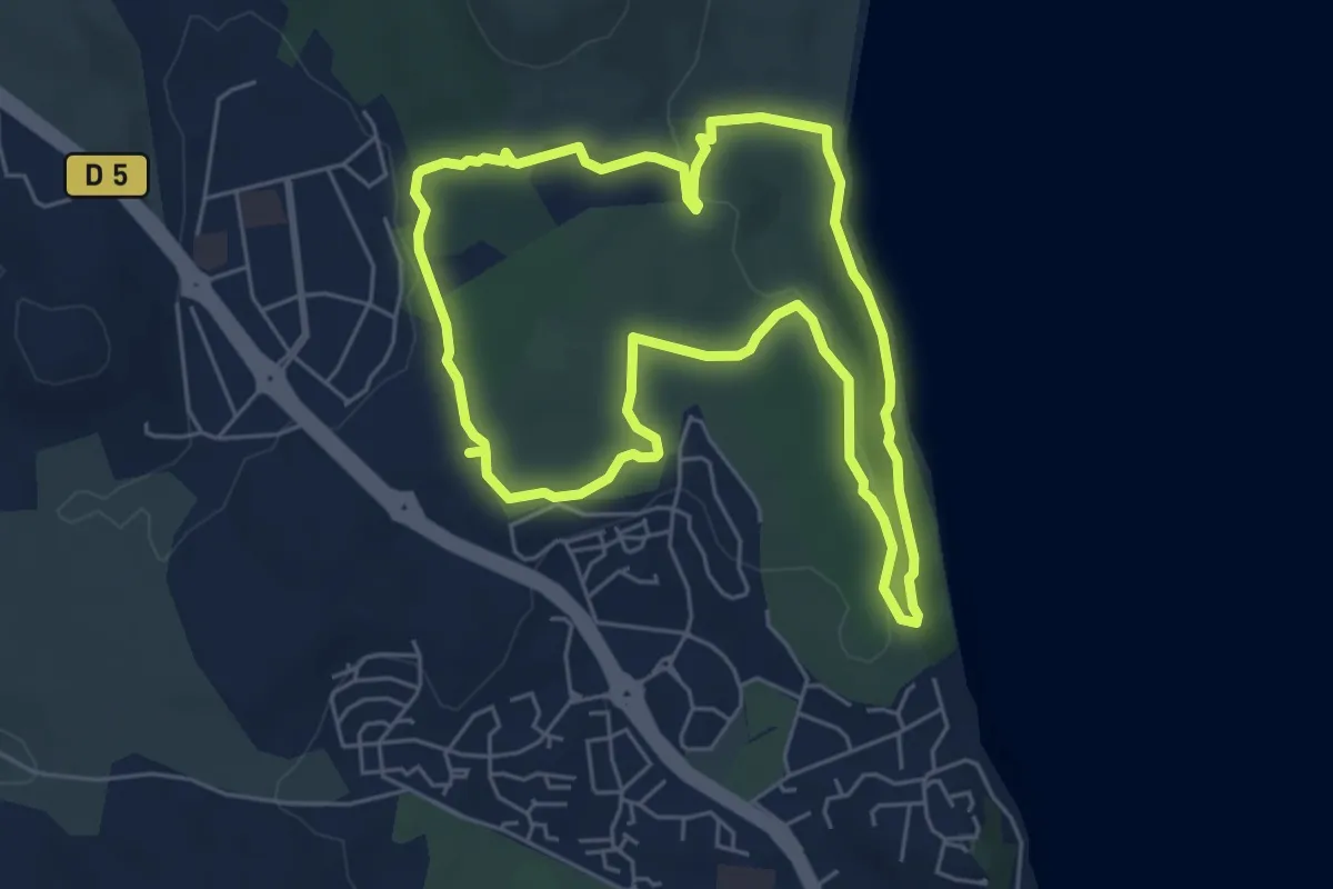
Les Tours Gros
6.8 km · ↑ 183 m · 2 h 6 min · 6 km away
Easy · Trail
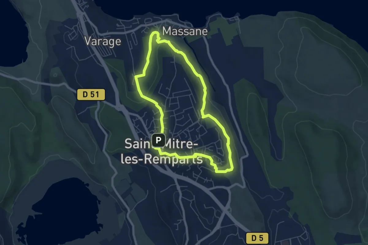
Boucle de Figuerolles
5.9 km · ↑ 95 m · 1 h 41 min · 6 km away
Easy · Trail
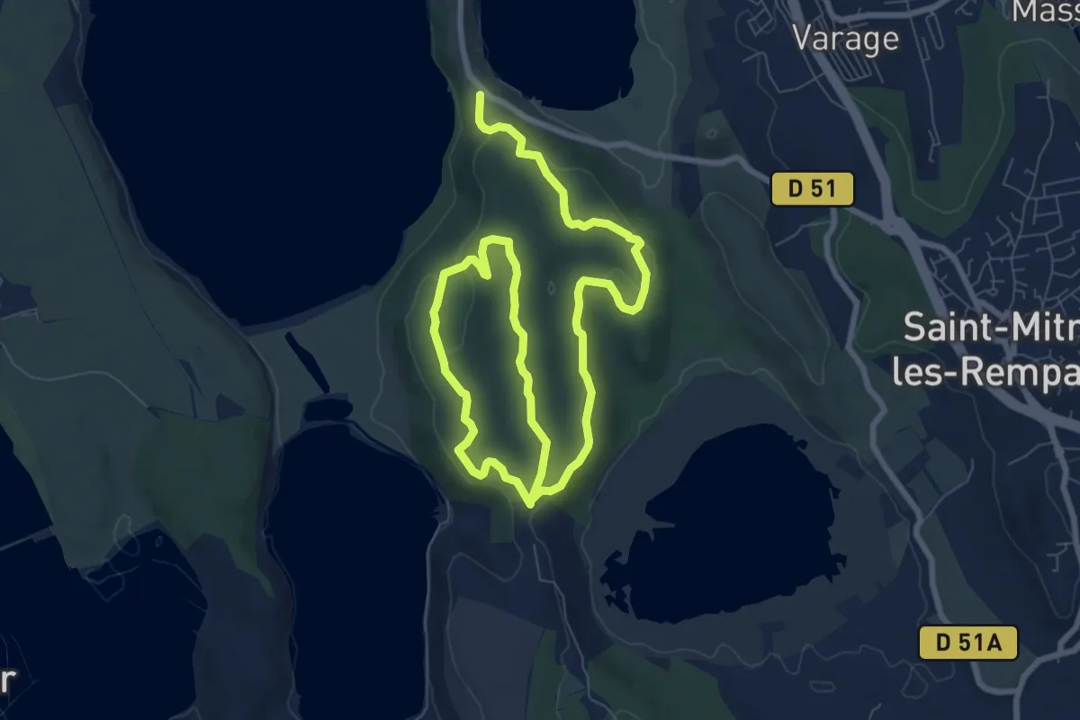
Du Crépon aux Rocalèdes
6.0 km · ↑ 131 m · 1 h 47 min · 6 km away
Easy · Trail
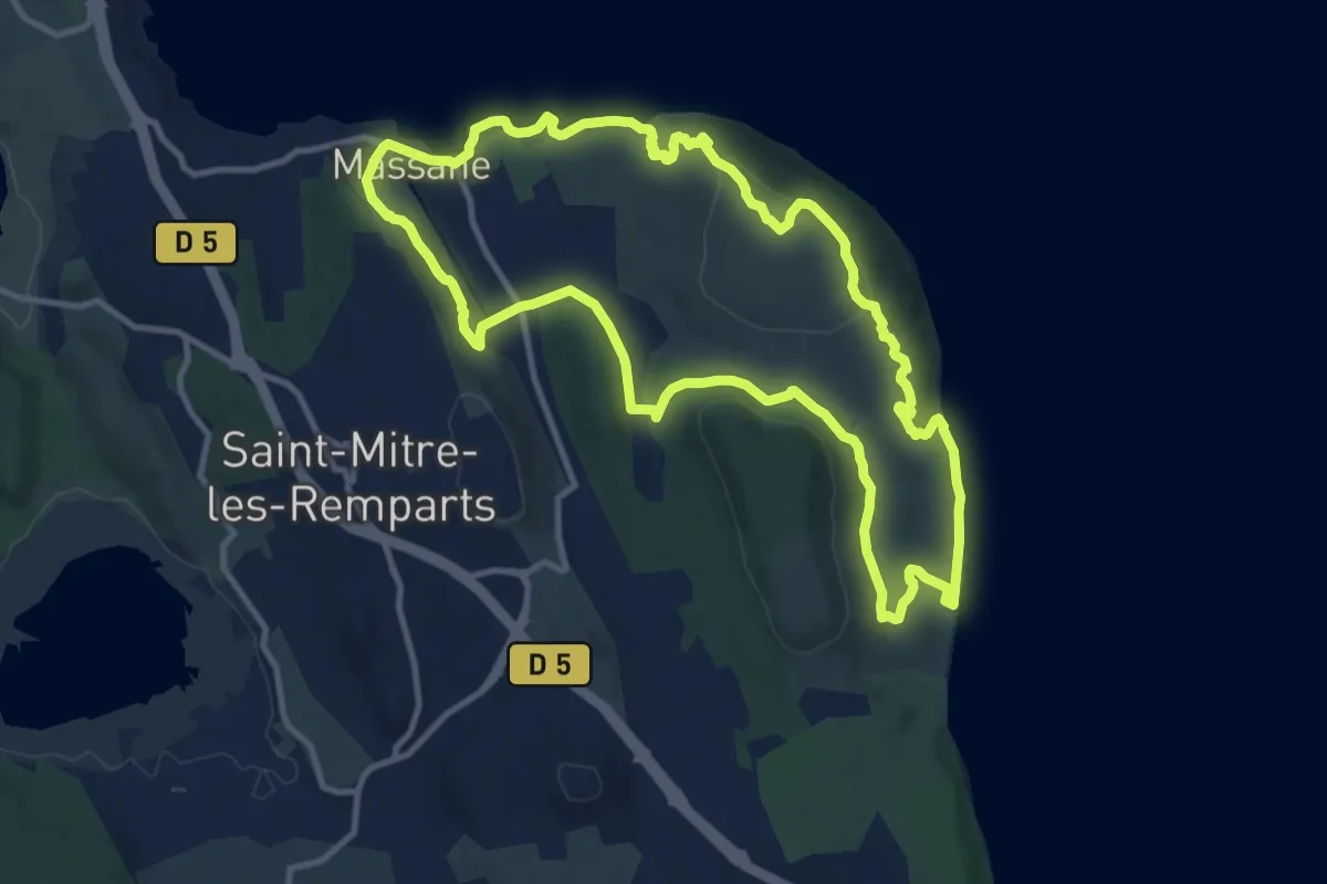
Forêt de Castillon Étang de Saint-Blaise
6.9 km · ↑ 140 m · 2 h · 7 km away
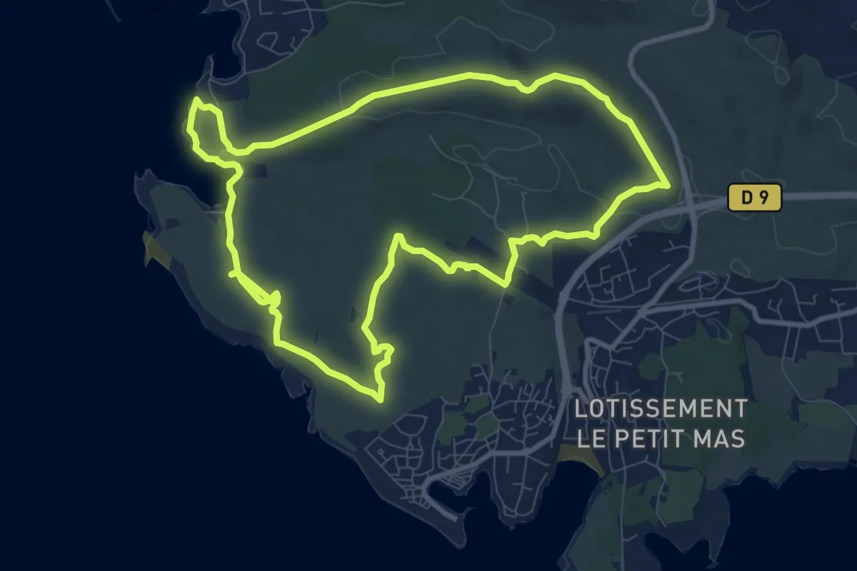
Medium · Trail
Le balcon du Caderaou
12.3 km · ↑ 339 m · 3 h 48 min · 7 km away
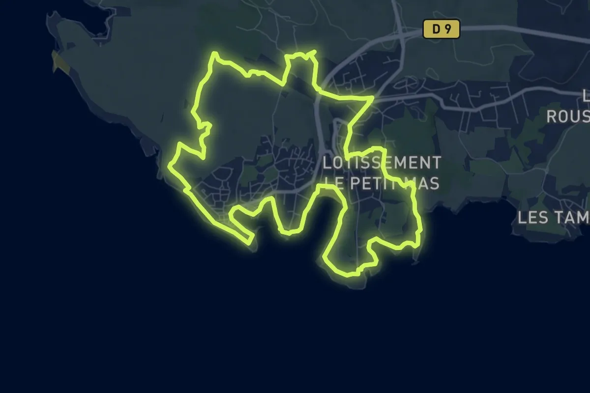
Medium · Trail
Vestiges Militaires
9.7 km · ↑ 109 m · 2 h 40 min · 8 km away
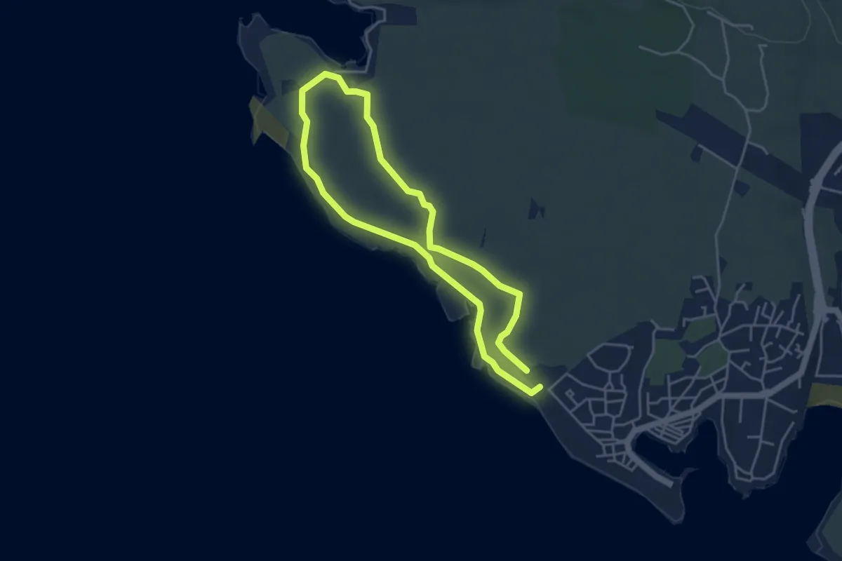
Medium · Trail
Les carrières de pierre de La Couronne
11.2 km · ↑ 84 m · 2 h 59 min · 9 km away
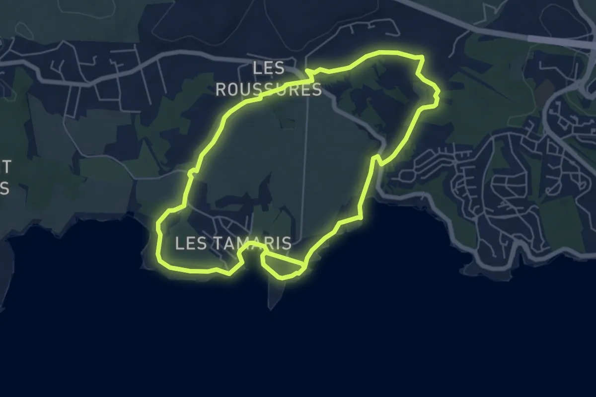
Easy · Trail
Sentier botanique de la plaine de Carro
3.9 km · ↑ 9 m · 59 min · 9 km away
Easy · Trail
Boucle de Boumandariel
5.9 km · ↑ 57 m · 1 h 36 min · 11 km away
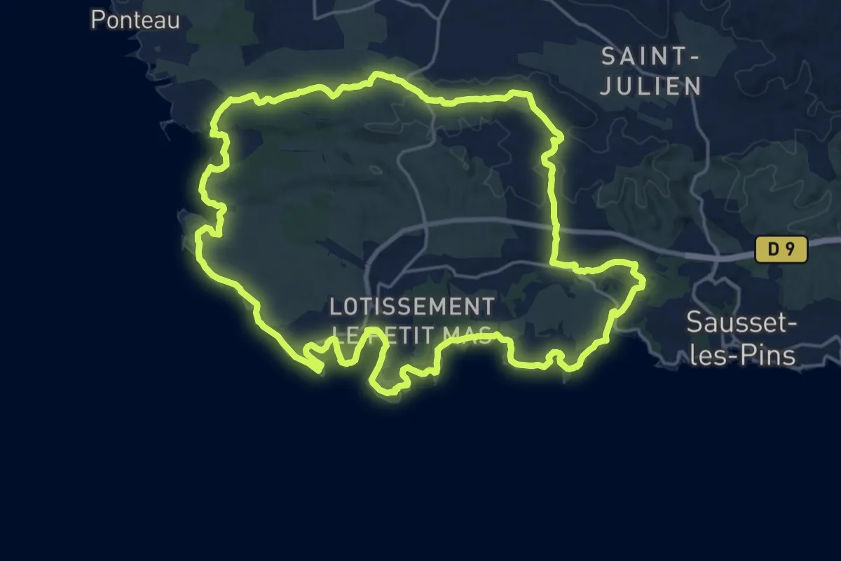
Demanding · Trail
La boucle du Cap Couronne
22.3 km · ↑ 198 m · 6 h 1 min · 11 km away
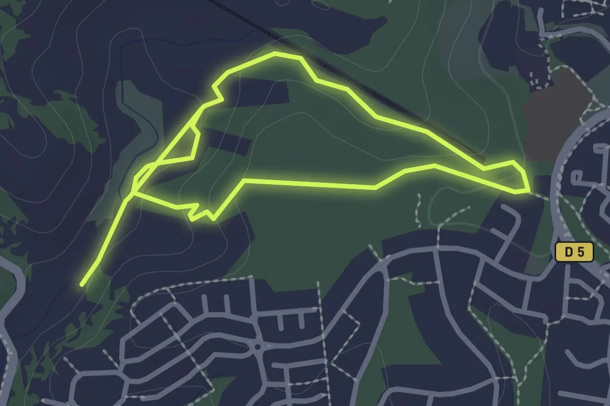
Easy · Trail
Sentier botanique Roselière
2.3 km · ↑ 52 m · 41 min · 12 km away
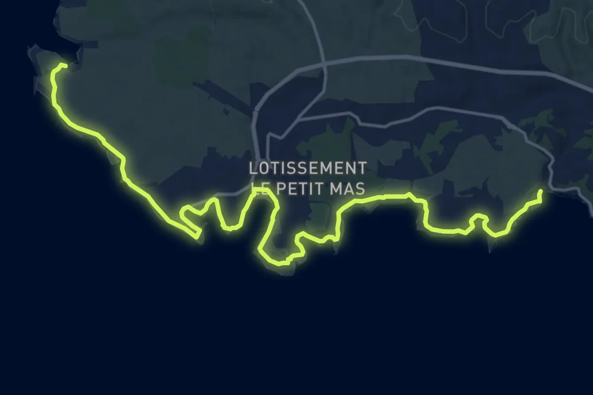
Demanding · Trail
Sentier du littoral Martégal
20.5 km · ↑ 91 m · 5 h 2 min · 12 km away
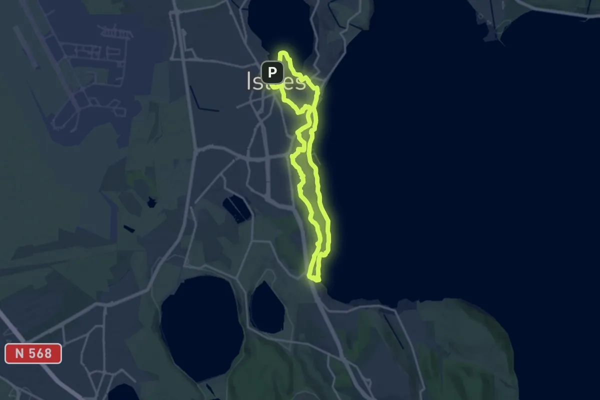
Medium · Summit
Entre ville et nature (Istres)
13.1 km · ↑ 207 m · 3 h 44 min · 13 km away
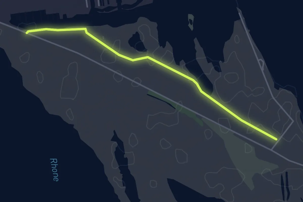
Easy · Trail
They du Mazet, l'embouchure du Rhône
2.3 km · ↑ 0 m · 34 min · 13 km away
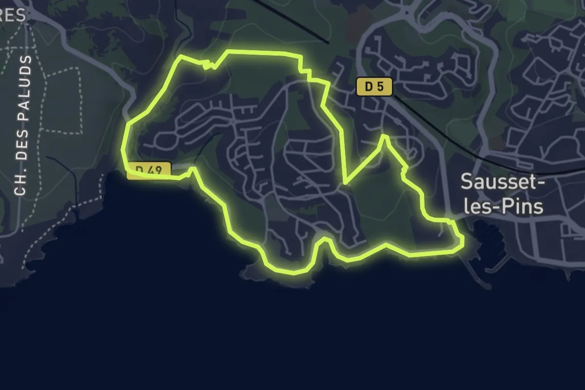
Easy · Trail
Grand Vallat - Littoral
4.8 km · ↑ 66 m · 1 h 21 min · 13 km away
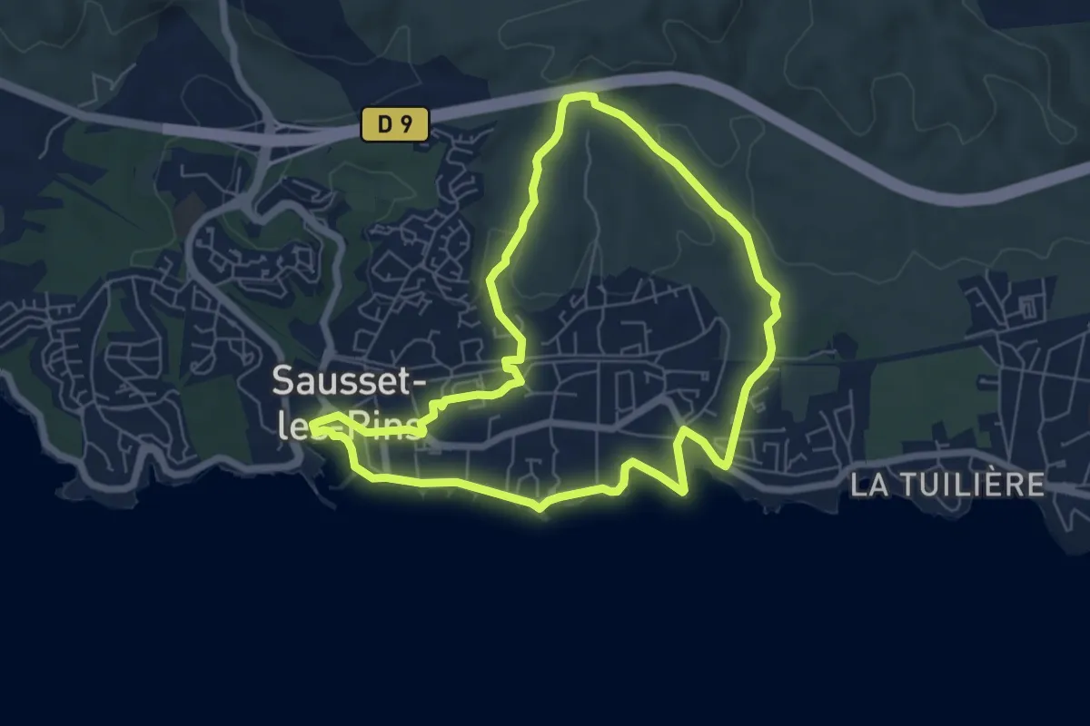
Easy · Trail
Mer et Pinéde Valapoux
6.5 km · ↑ 78 m · 1 h 48 min · 13 km away
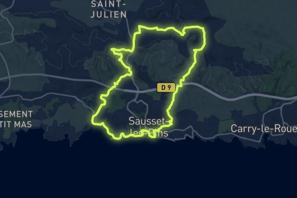
Medium · Trail
Mer et colline Valestéloué
14.4 km · ↑ 248 m · 4 h 8 min · 13 km away
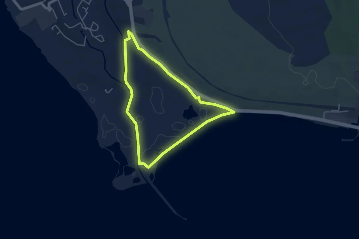
Easy · Trail
La petite Camargue
3.7 km · ↑ 10 m · 57 min · 14 km away