Trails near Propriano
16 hikes starting within 15 km, nearest first.
Nearest first
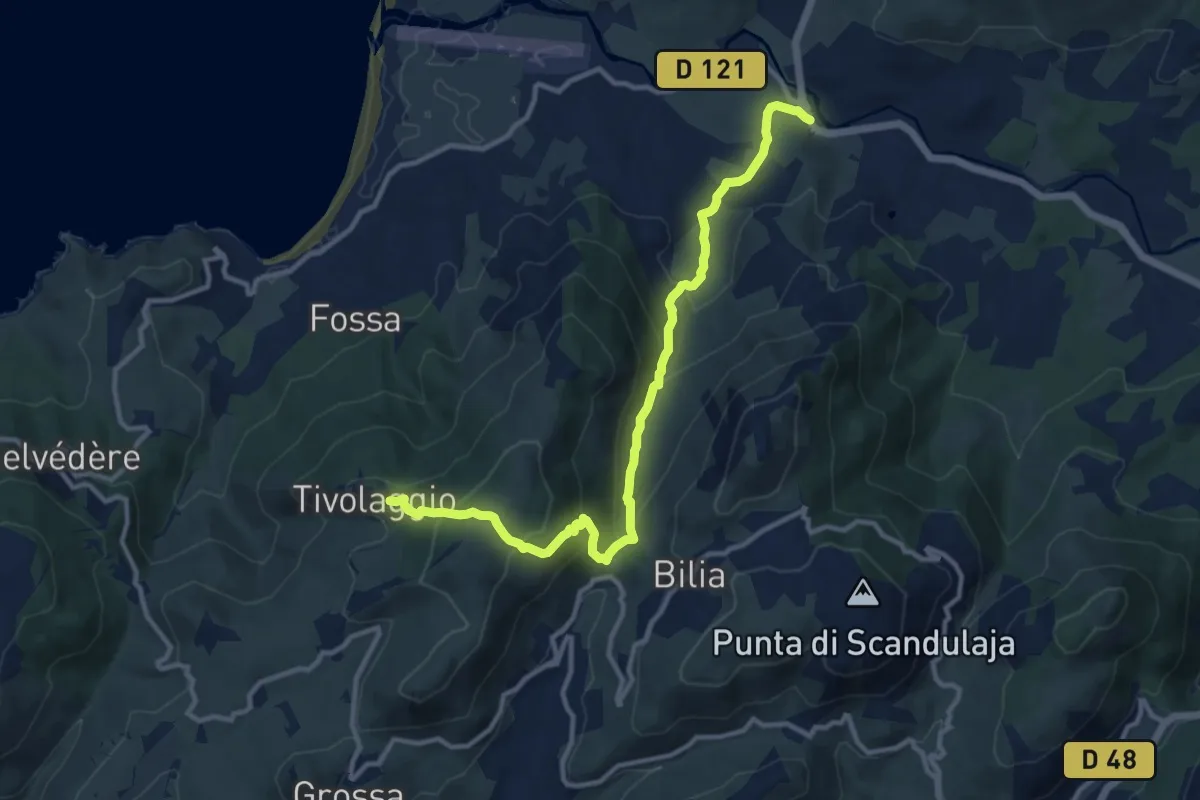
Medium · Trail
Rena Bianca (Pont) – Tivulaghju
13.2 km · ↑ 667 m · 4 h 34 min · 3 km away
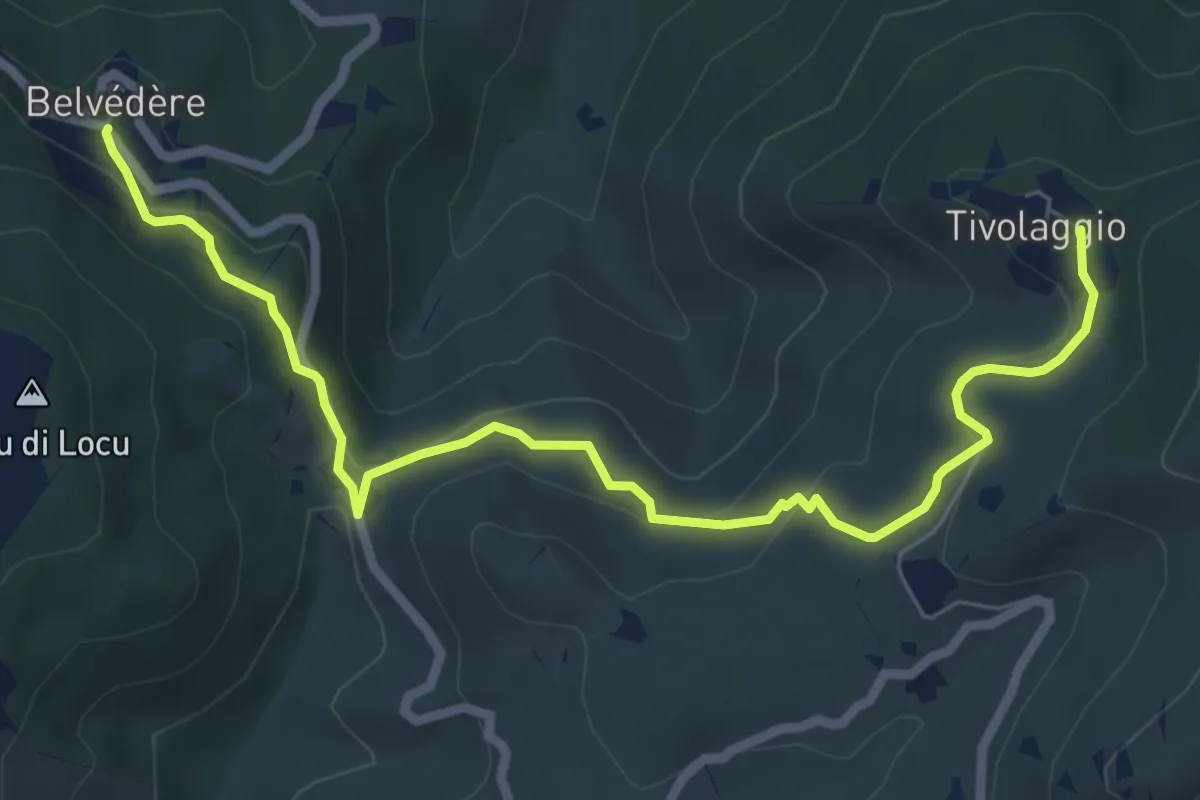
Medium · Trail
Tivulaghju – Belvédère
8.3 km · ↑ 295 m · 2 h 36 min · 5 km away
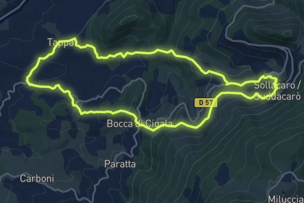
Medium · Trail
Boucle de Filitosa à Suddacarò
10.4 km · ↑ 428 m · 3 h 32 min · 8 km away
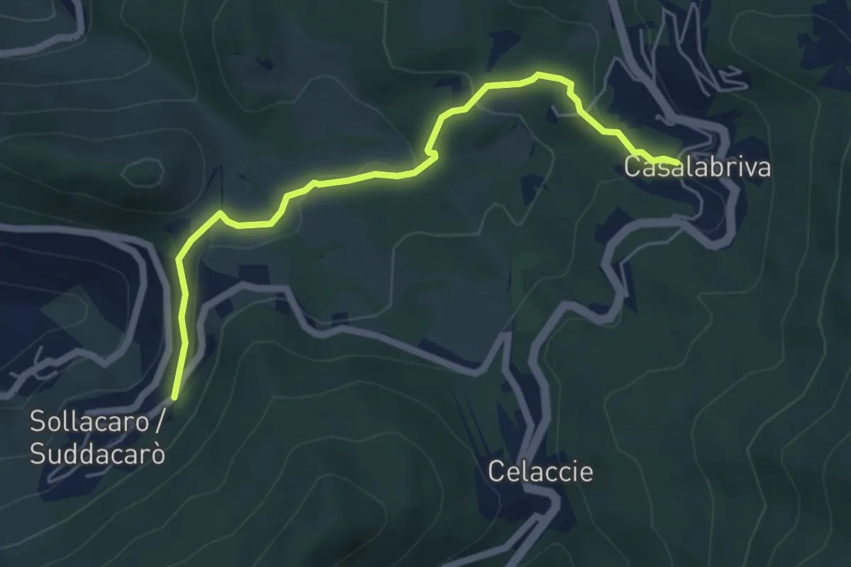
Easy · Trail
Casalabriva – Sollacaro
5.5 km · ↑ 179 m · 1 h 41 min · 8 km away
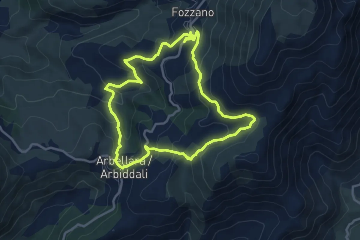
Medium · Trail
Boucle par Arbiddali et Fuzzanu
7.4 km · ↑ 348 m · 2 h 36 min · 9 km away
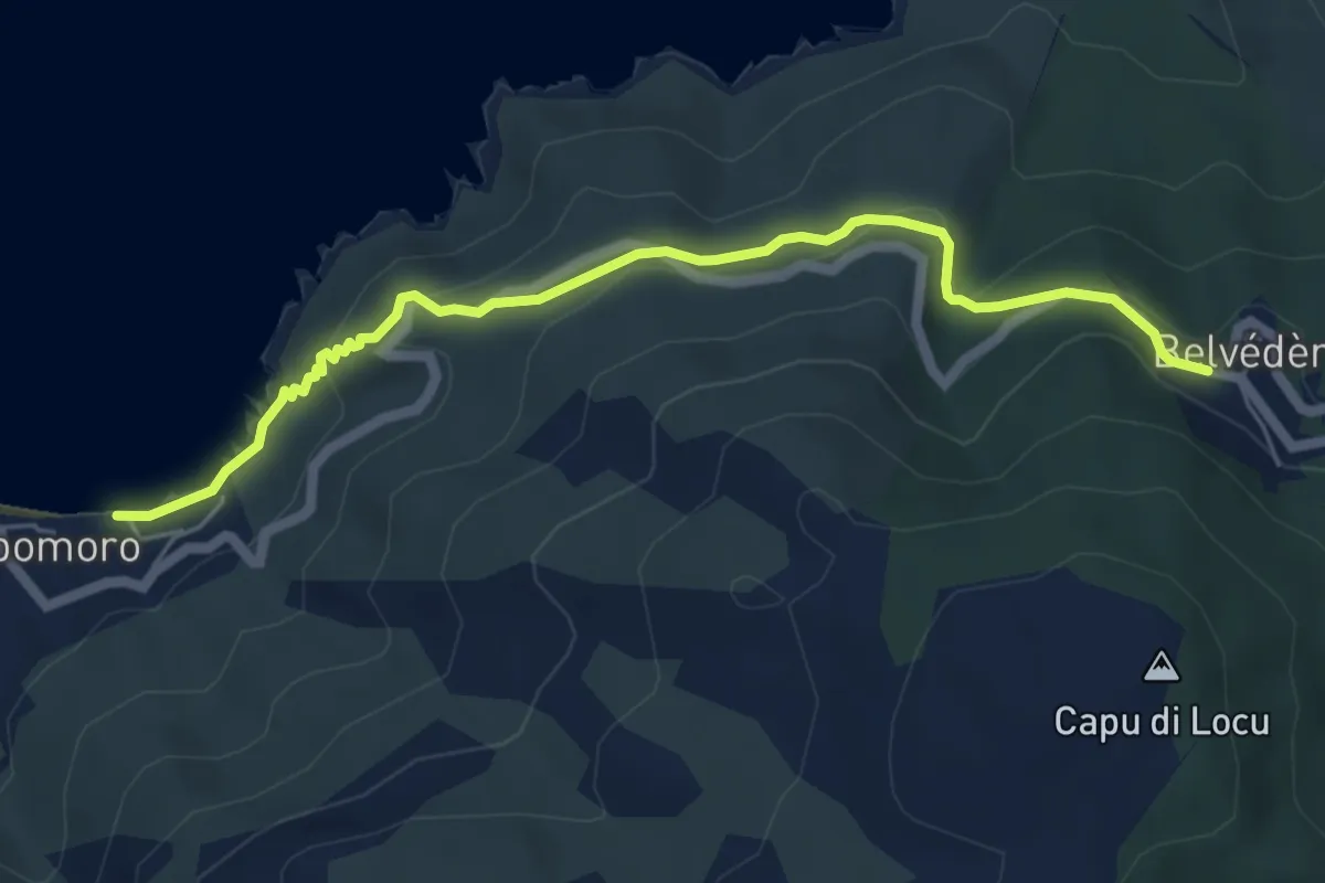
Easy · Trail
Sentier de Belvédère à Campomoro
6.4 km · ↑ 307 m · 2 h 11 min · 9 km away
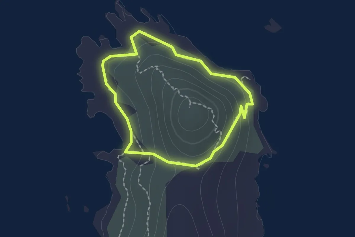
Easy · Trail
Boucle de Punta Bianca
1.5 km · ↑ 41 m · 28 min · 9 km away
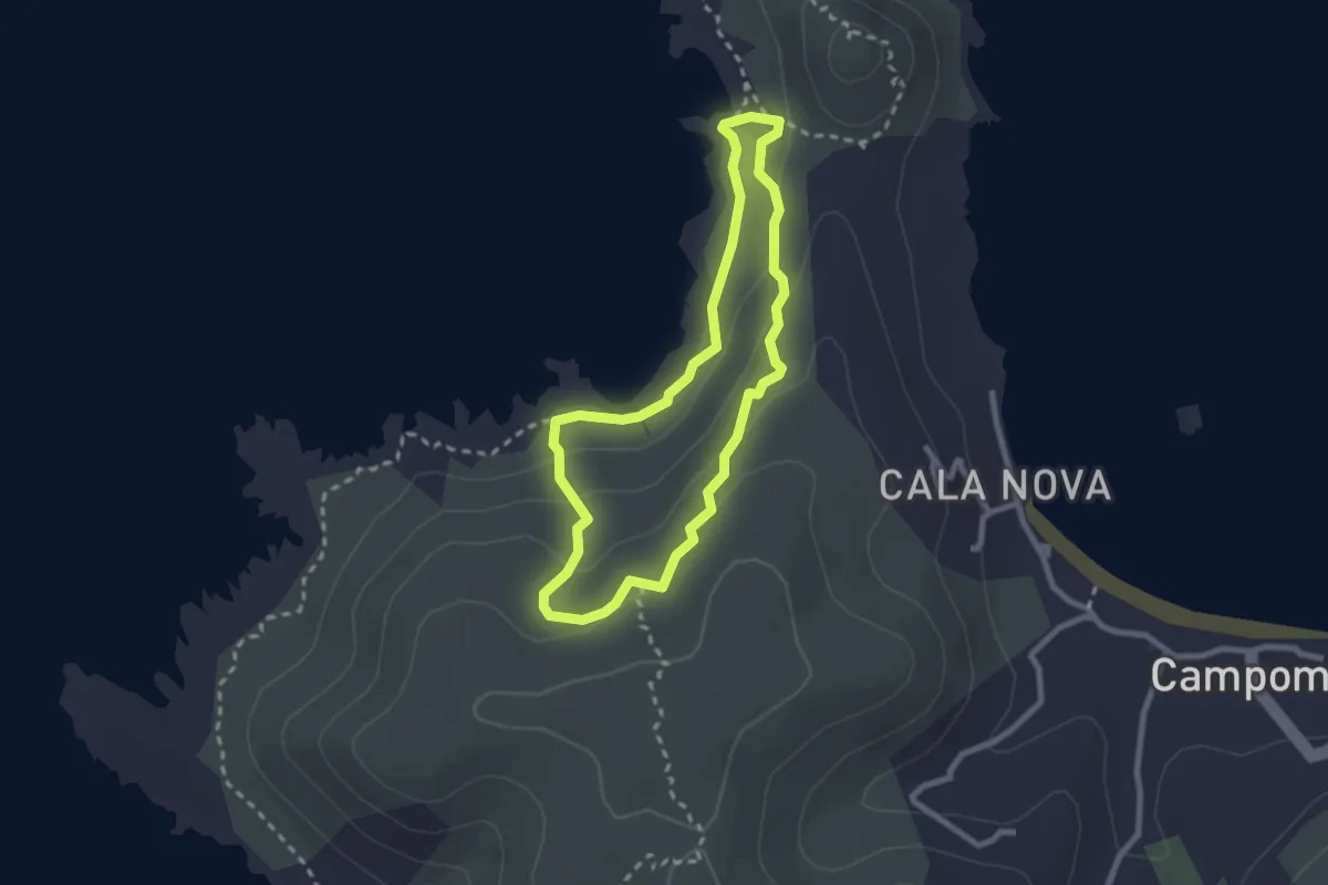
Easy · Trail
Boucle des Pozzi
2.5 km · ↑ 84 m · 48 min · 10 km away
Medium · Summit
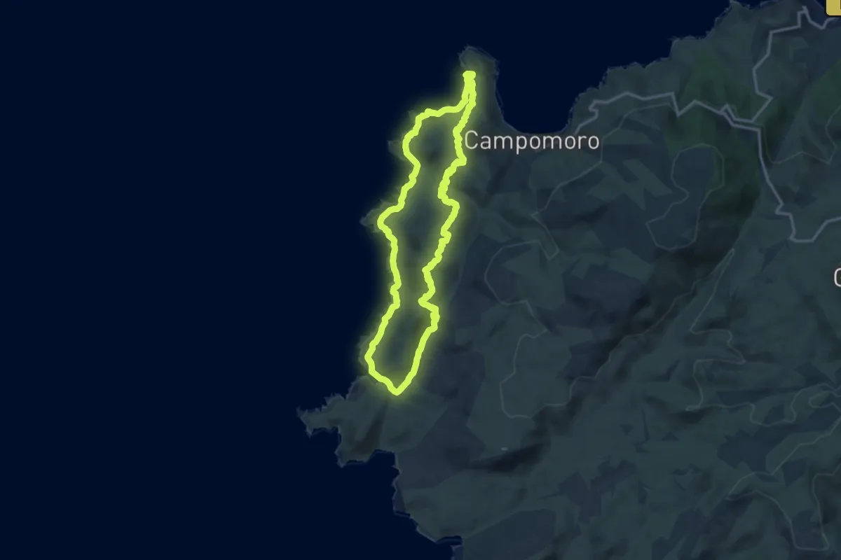
Boucle de Manna Mulina
13.0 km · ↑ 301 m · 3 h 54 min · 10 km away
Easy · Trail
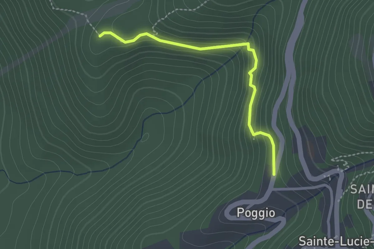
Balade vers l'Église Saint-Jean Baptiste
2.4 km · ↑ 102 m · 47 min · 13 km away
Easy · Trail
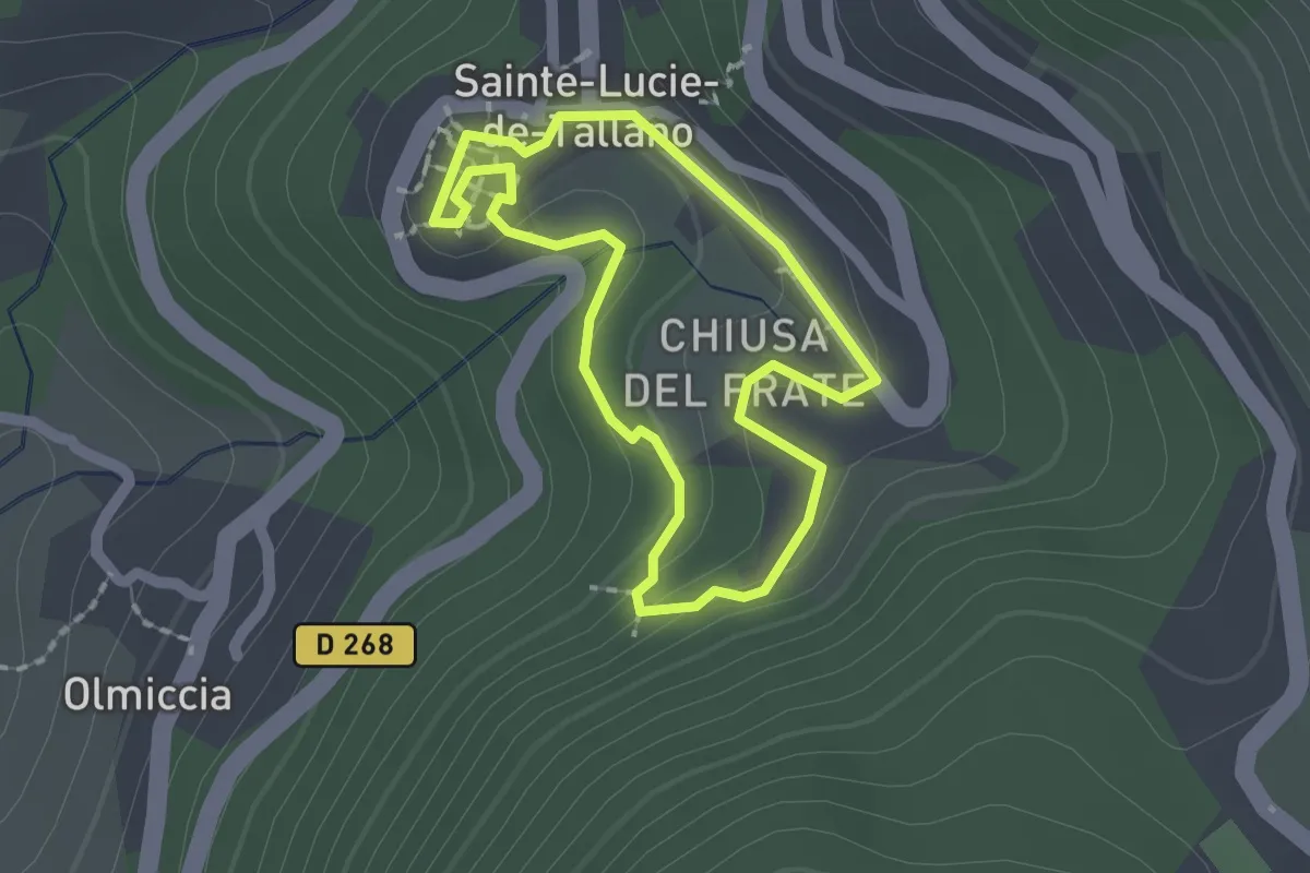
Balade de la Vielle Ville de Sainte-Lucie-de-Tallano au Couvent
1.7 km · ↑ 55 m · 32 min · 13 km away
Medium · Trail
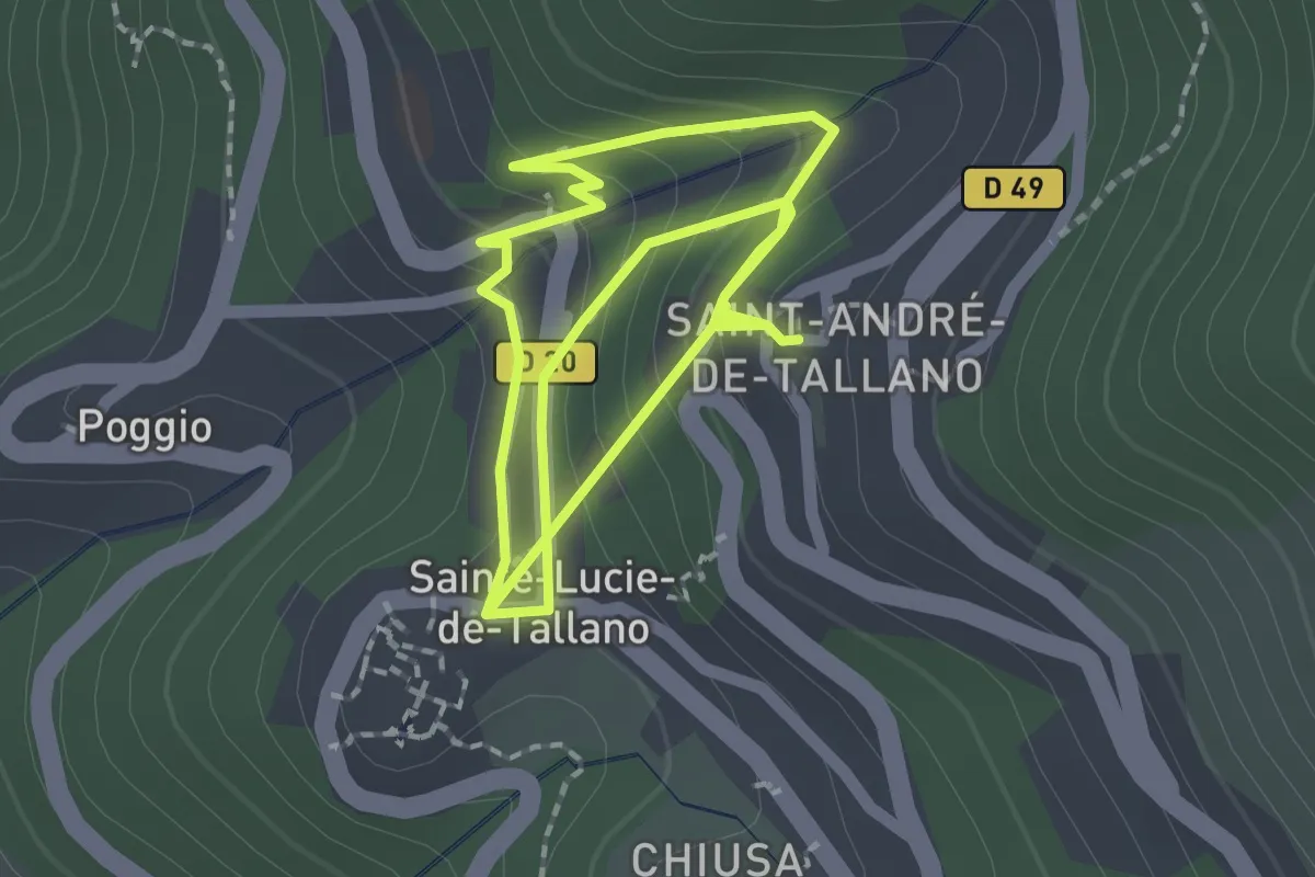
Sentier du Patrimoine de Sainte-Lucie-de-Tallano
2.0 km · ↑ 137 m · 46 min · 13 km away
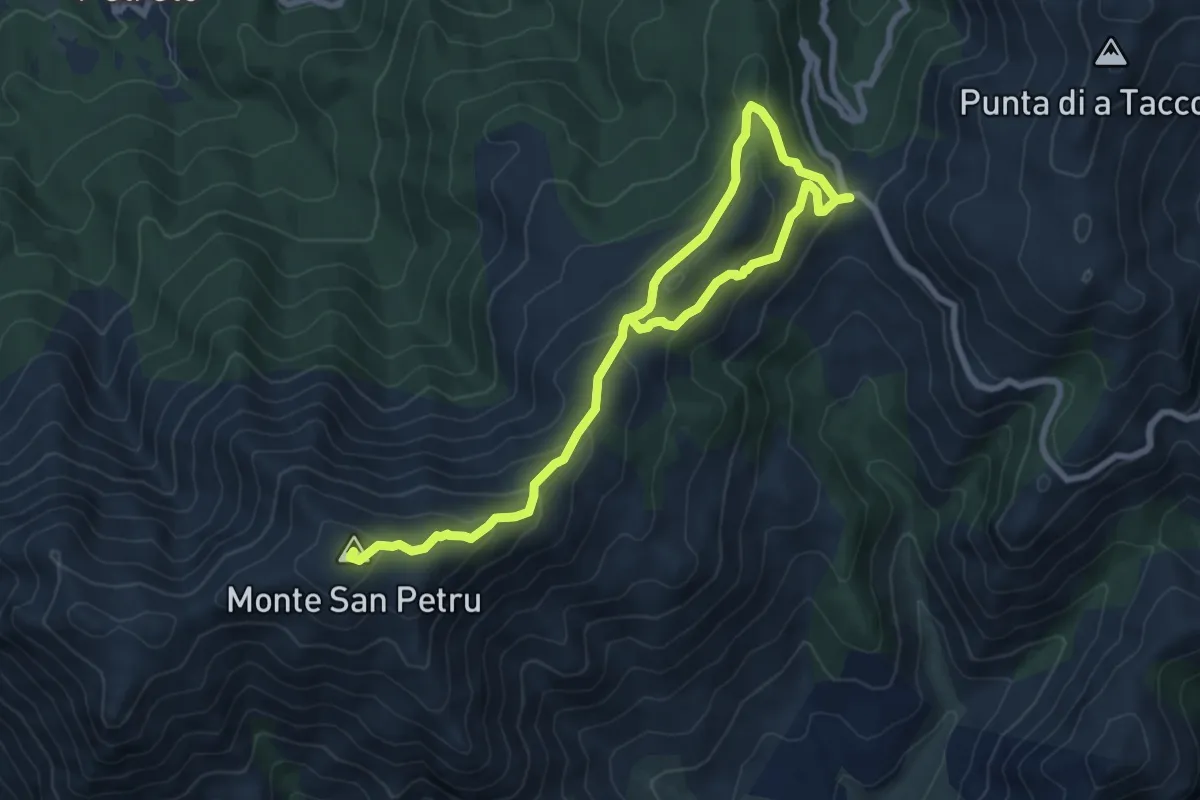
Expert · Summit
Monte San Petru - Col de Saint-Eustache
11.2 km · ↑ 533 m · 3 h 48 min · 13 km away
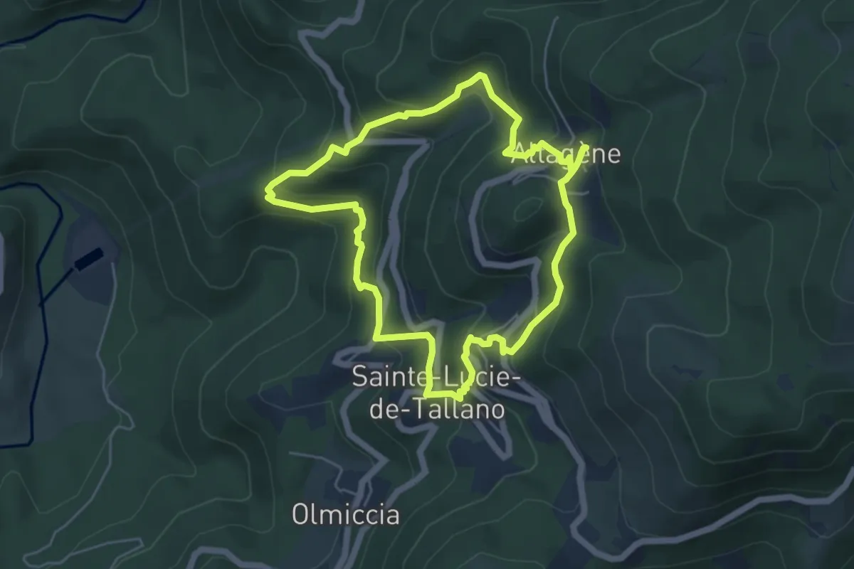
Medium · Trail
Boucle 7 - Altagène<->Sainte-Lucie de Tallano
5.3 km · ↑ 345 m · 2 h 4 min · 14 km away
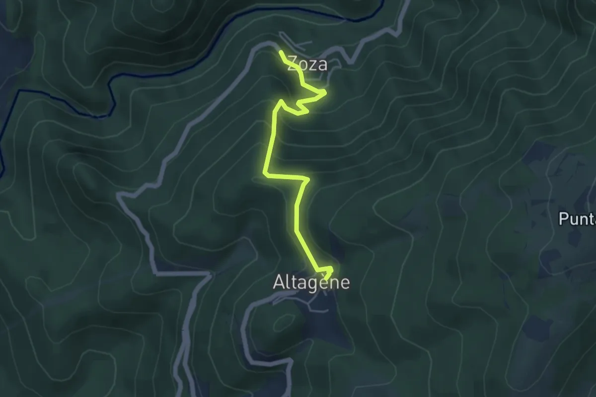
Easy · Trail
Da Paesi à Paesi Altagène-Zoza
4.3 km · ↑ 320 m · 1 h 42 min · 14 km away
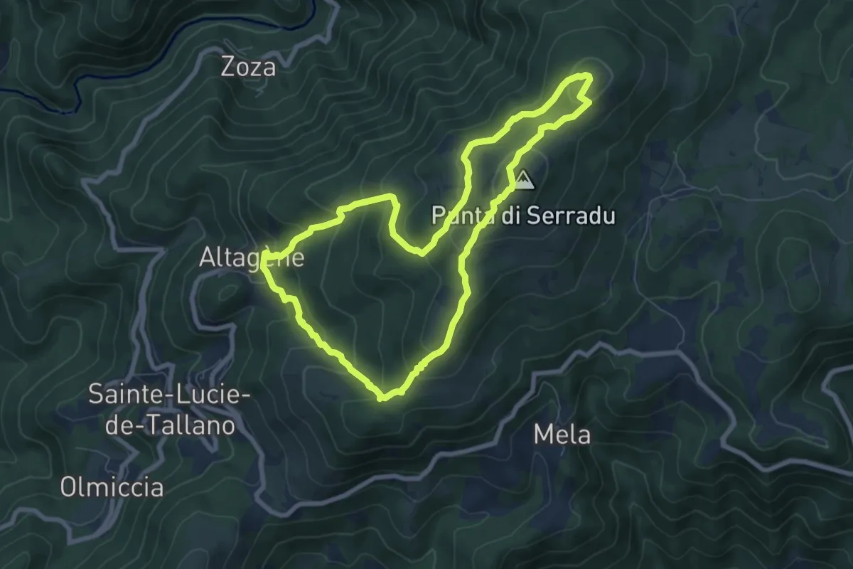
Medium · Summit
Boucle 5 - Altagène<->Punta di Sarradò
7.5 km · ↑ 428 m · 2 h 49 min · 15 km away